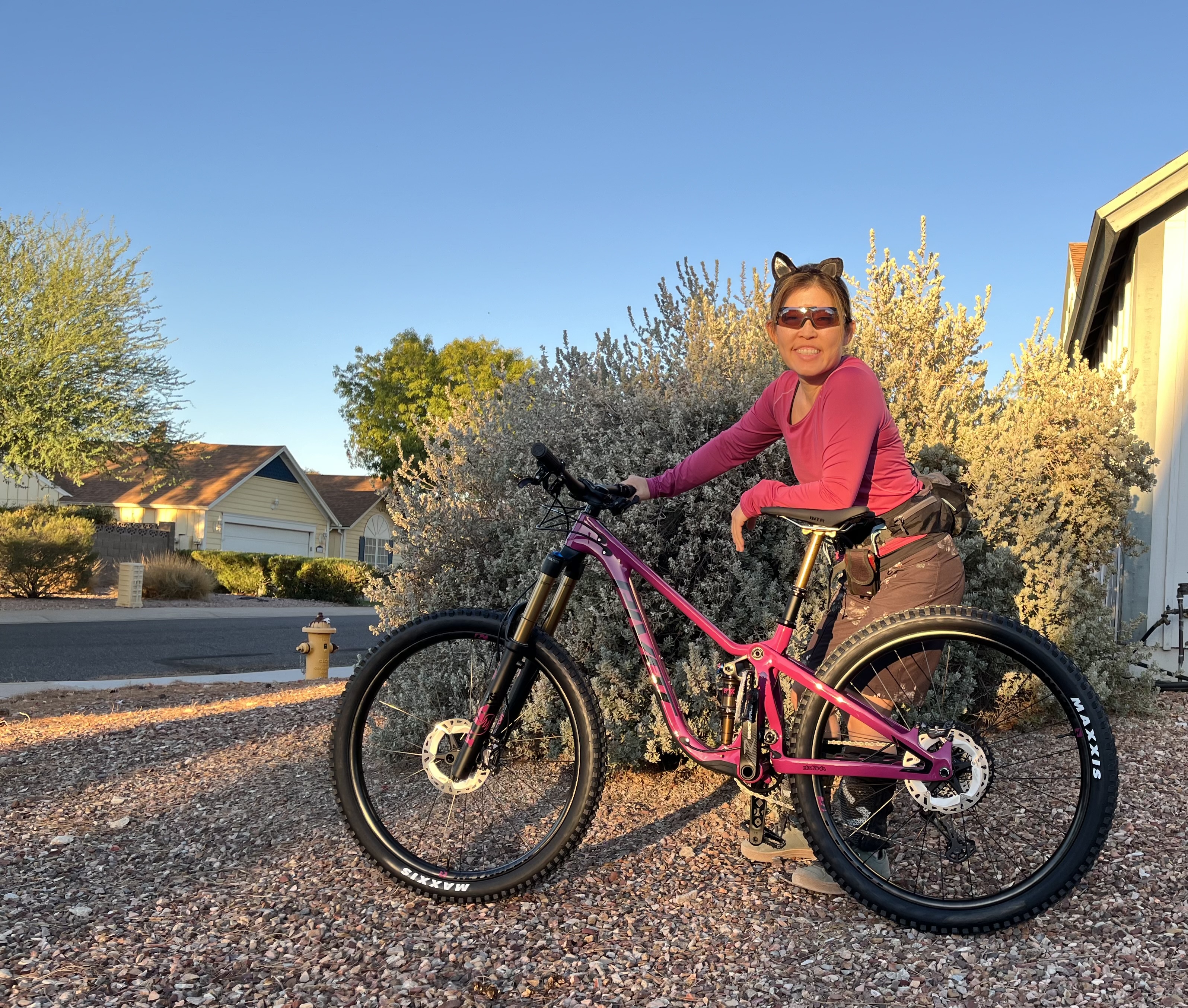
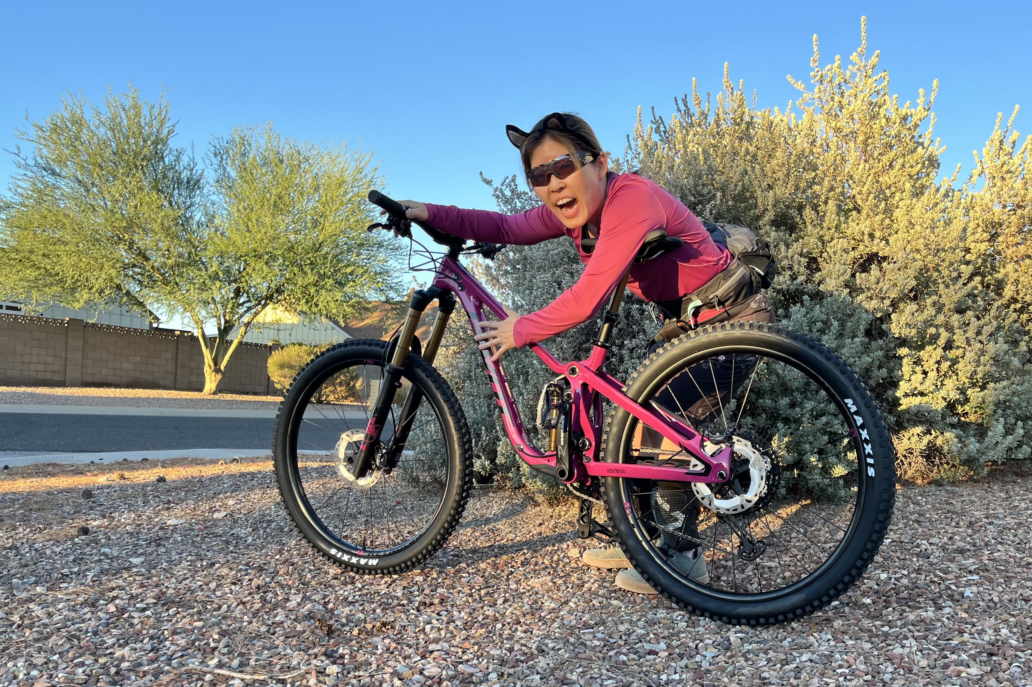
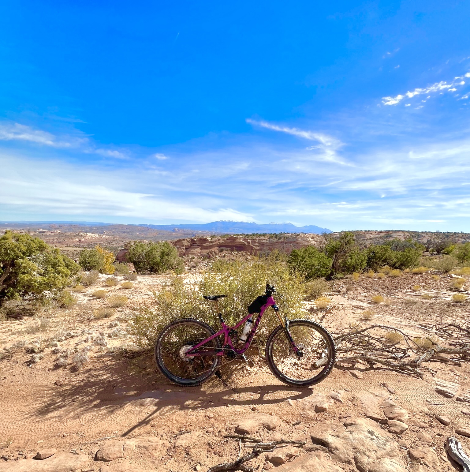
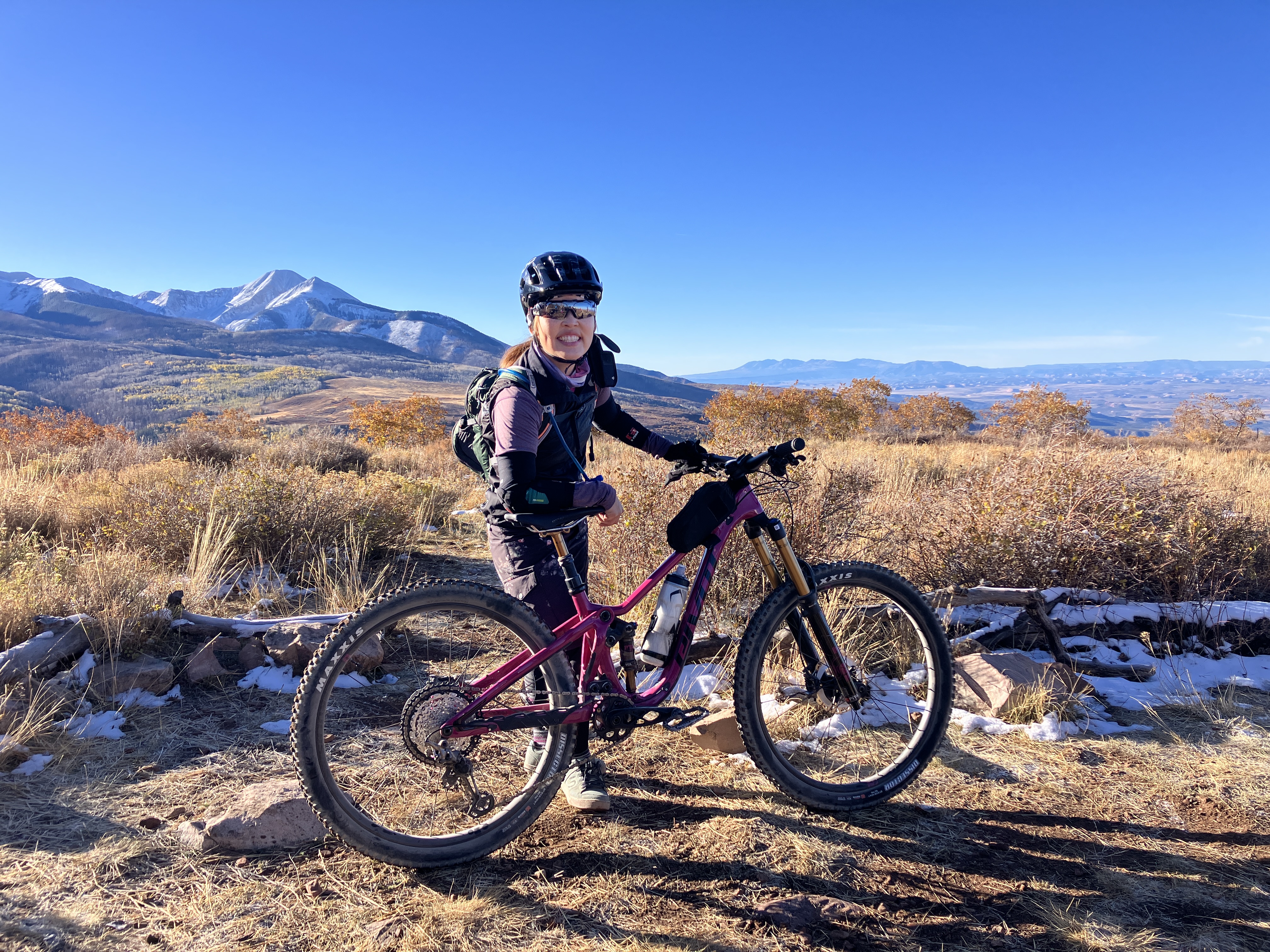
Exactly one month ago, I rode my new bike! I’ve been keeping an eye out for a new bike and test rode almost ten bikes over the past year, most of them at Roamfest in Sedona last year. My one non-negotiable was to have full standover, i.e., being able to stand over the top tube and have both feet flat on the ground. The winner was the Pivot Shadowcat, a.k.a., “Sassafras,” or “Sassy Cat” for short. The Shadowcat comes in 2 colours: Danger Fruit (which is really a hot pink) and Blue Mirage. My colour preference is shown below 😉 Sassy is a light, nimble bike that absorbs chunky rock with ease. I’m enjoying smoother rides on Sassy than my other bike and am feeling more confident to attempt small drops and jumps because of the longer travel (i.e., greater suspension). I’m looking forward to getting to know Sassy better! It was so wonderful to have Sassy to ride in Moab — such an epic way to break in the new bike!
Me and my Sassy CatSassy Cat found her “furrever” home with me, haha!One of my first rides was to climb up to the “Helipad” at South Mountain. Sassy did well!
~~~~~~~~~~~~~~~~~~~~~~~~~~~~~~~~~~~~~~~~~
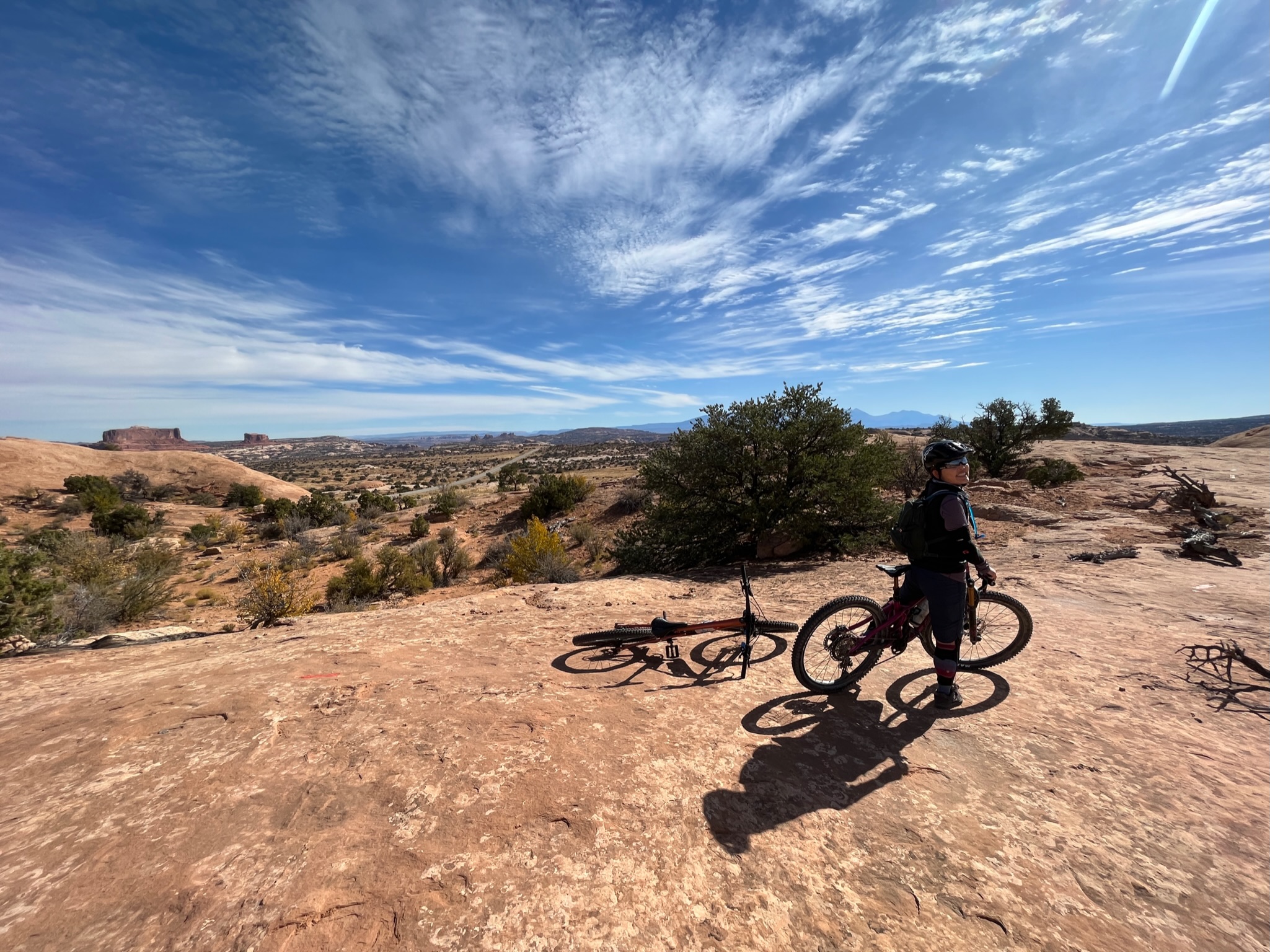
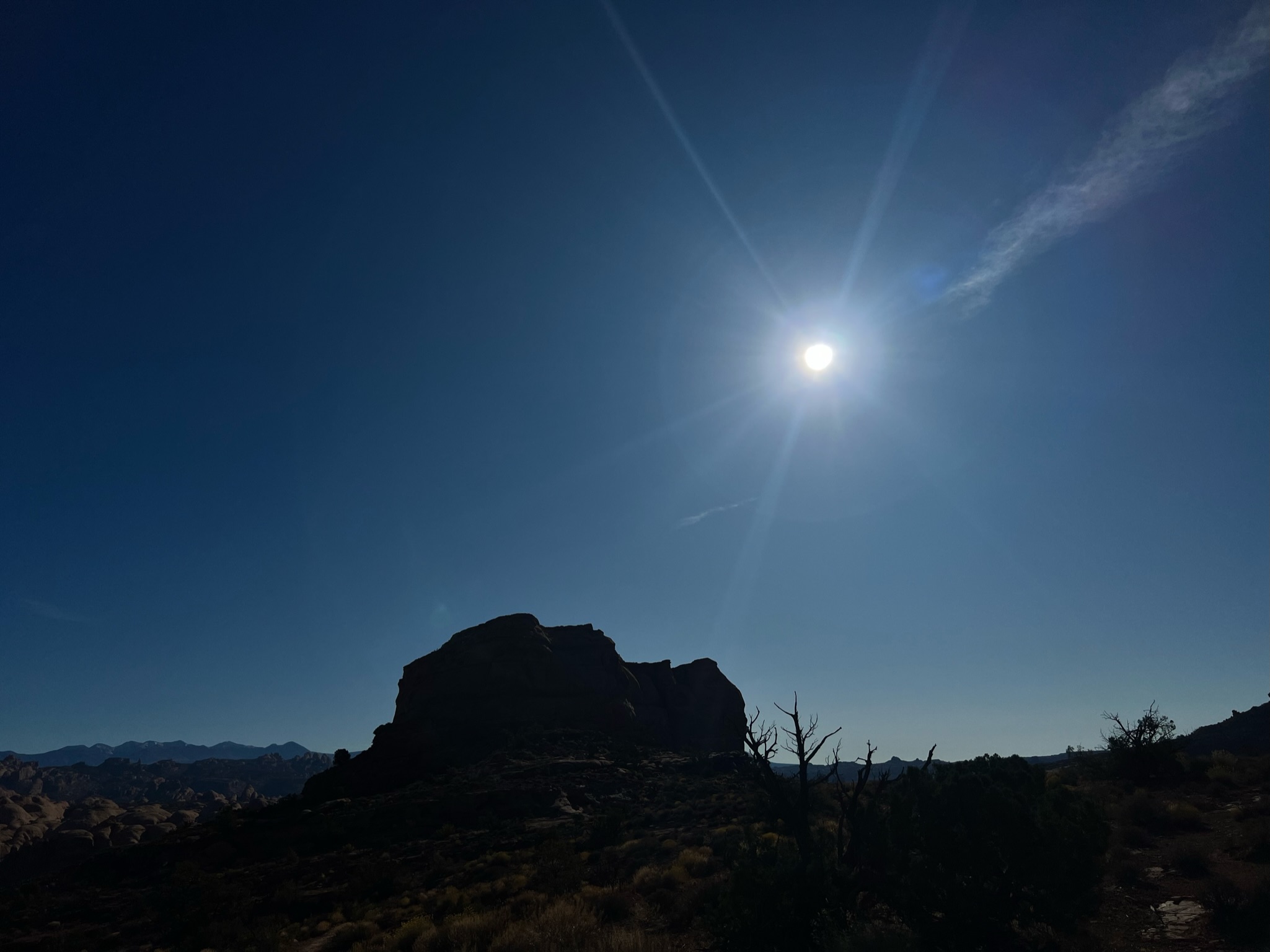
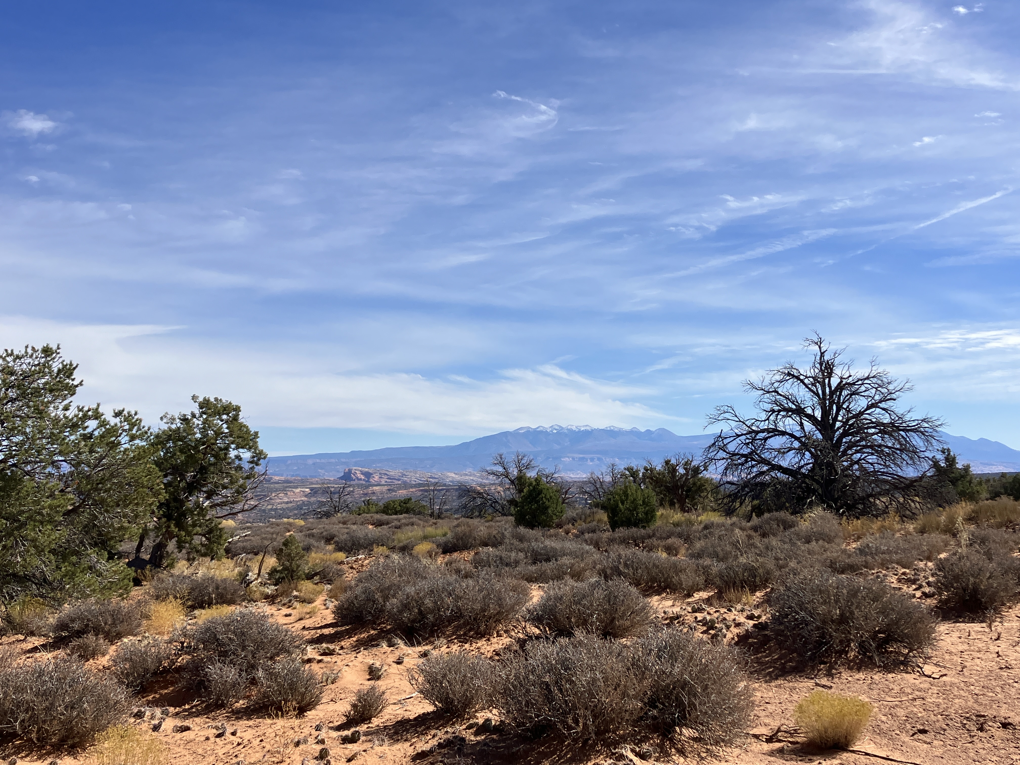
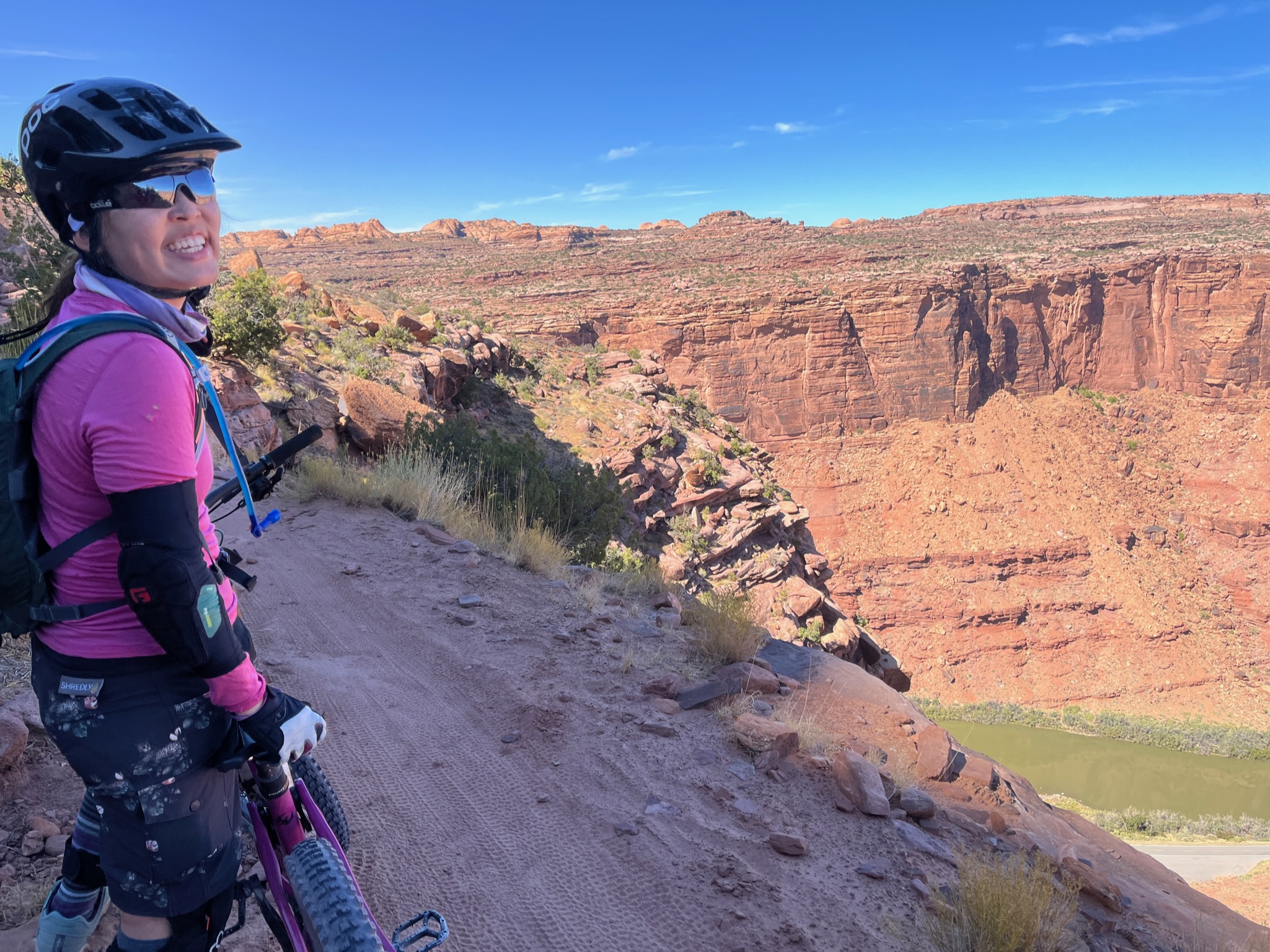
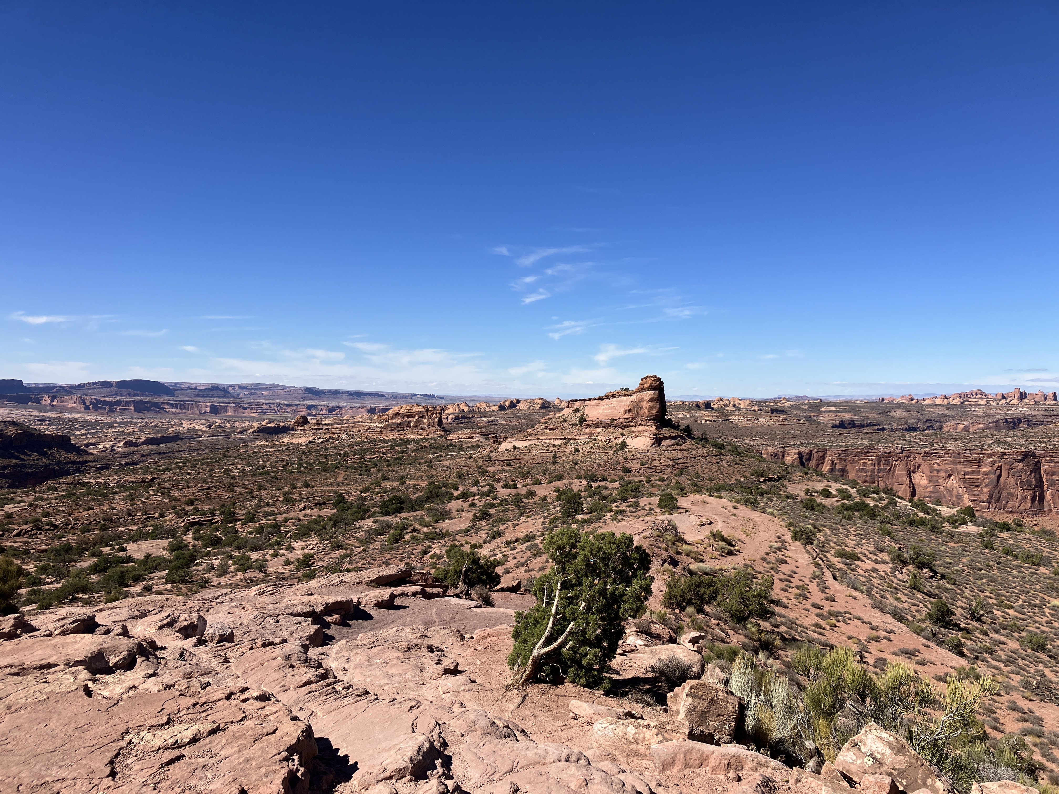
I can’t believe it’s already been 2 weeks since I was in Moab. That was an amazing trip! On my second day in Moab, while my SAT (self-appointed trainer) rode a difficult trail I didn’t feel I was ready for, Jess and I checked out the Navajo Rocks area and rode a beautiful loop full of picturesque views. It was the perfect way to do a recovery ride. It was also cool to ride during the annular eclipse!
Start of our ride.I didn’t take any great pictures of the eclipse. My SAT took this photo during his ride; note how the eclipse’s effect makes the photo look otherworldly!Another photo from my SAT.My friend Heidi took this photo.Jess and me. No more eclipse.Sassy Cat enjoying hte view!Jess and I took turns taking photos and videos of each other. I quite like this photo.
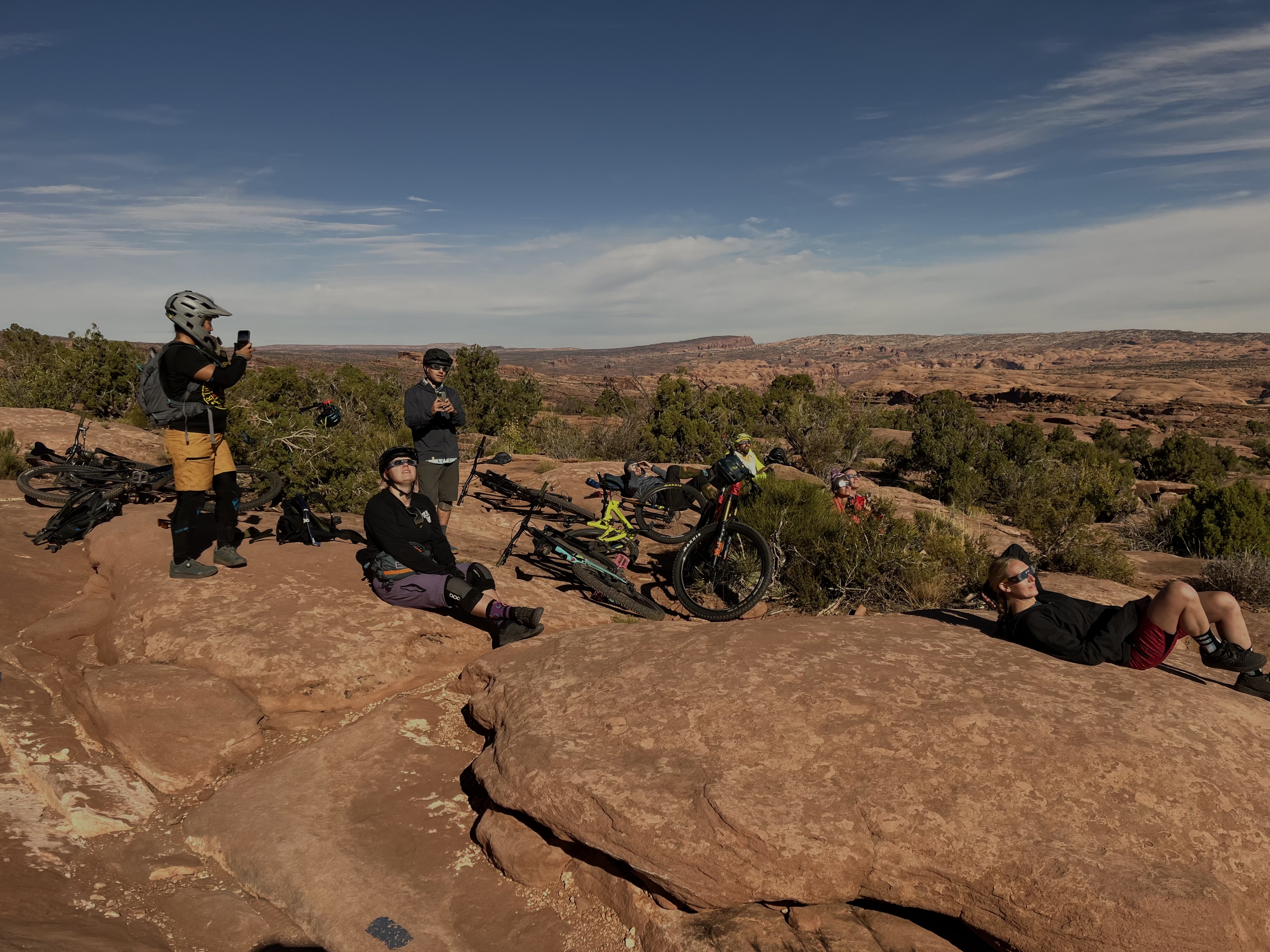
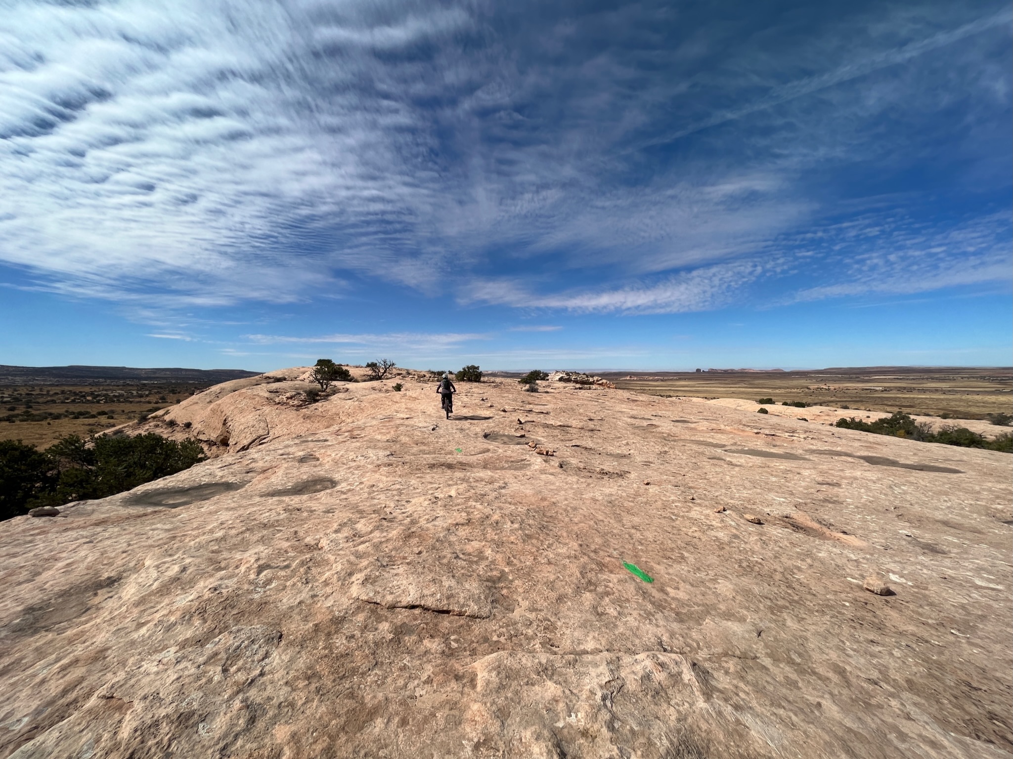
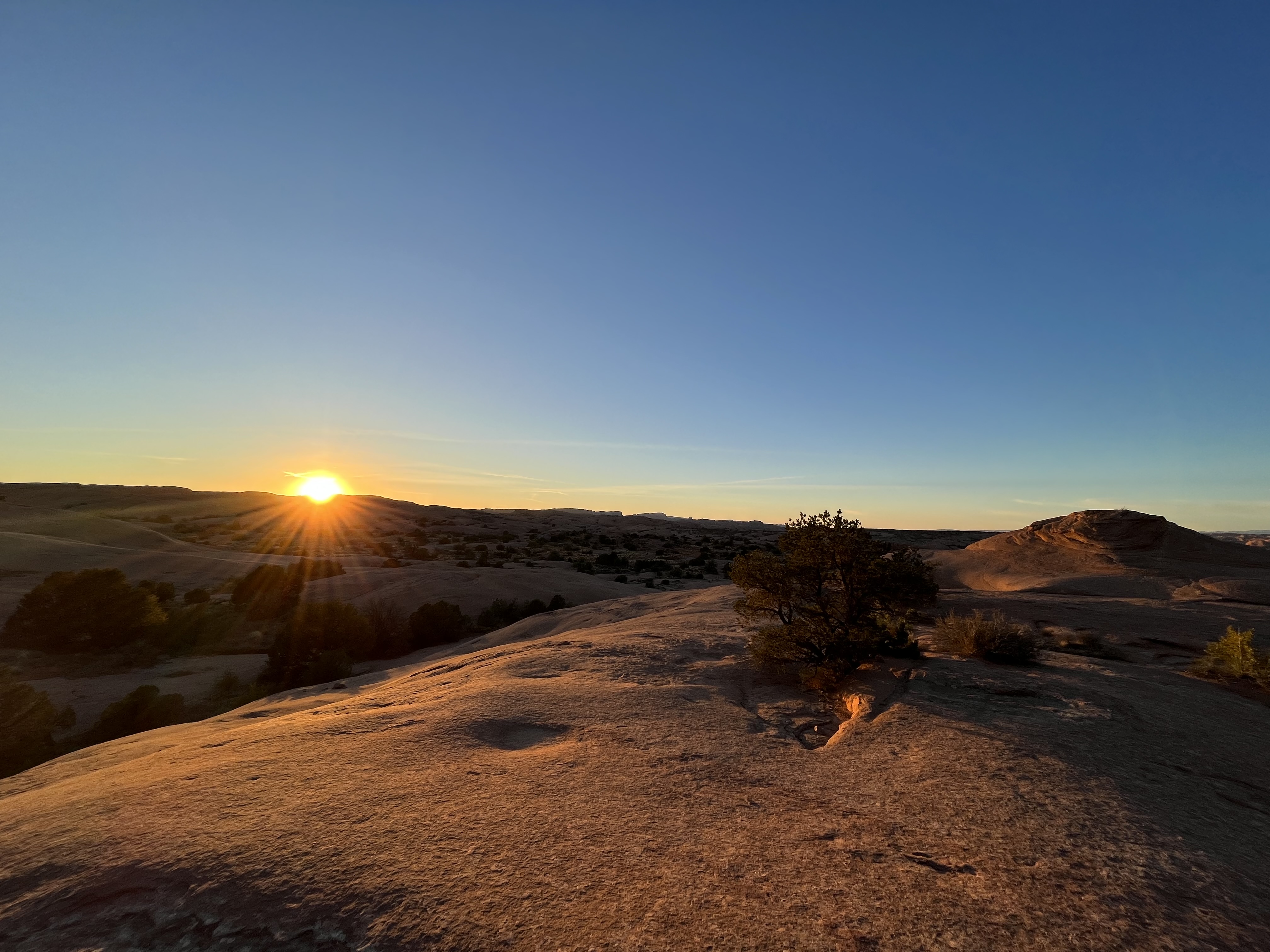
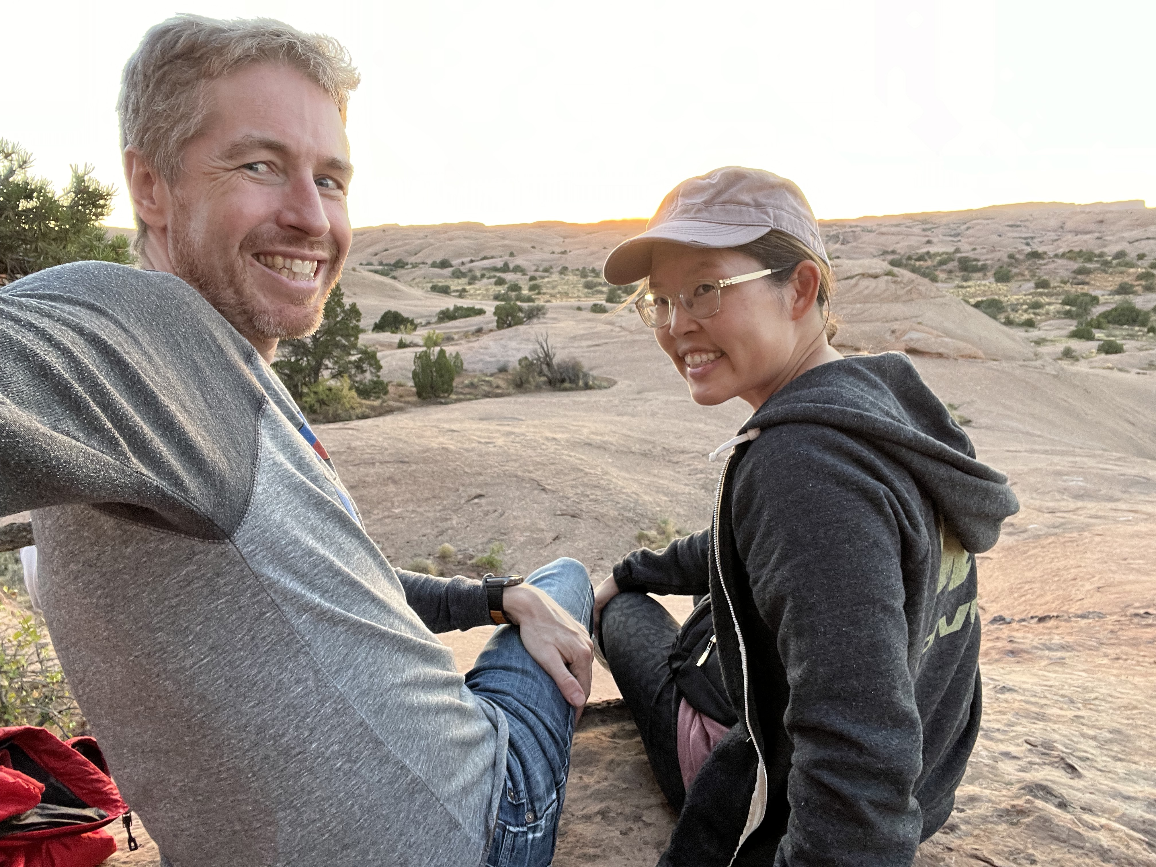
As a final farewell, my crew went for a little walk on our last night in Moab. We enjoyed watching the sunset at Slick Rock. This is a popular trail known for its “slick rock,” which is essentially petrified sand dunes and the eroded remnants of ancient sea beds. The rock is really grippy, but the trail has tons of steep ups and downs, which make it very challenging to ride, despite the grippy rock. I’ll try riding it next time I’m in Moab (hopefully soon….next year?).
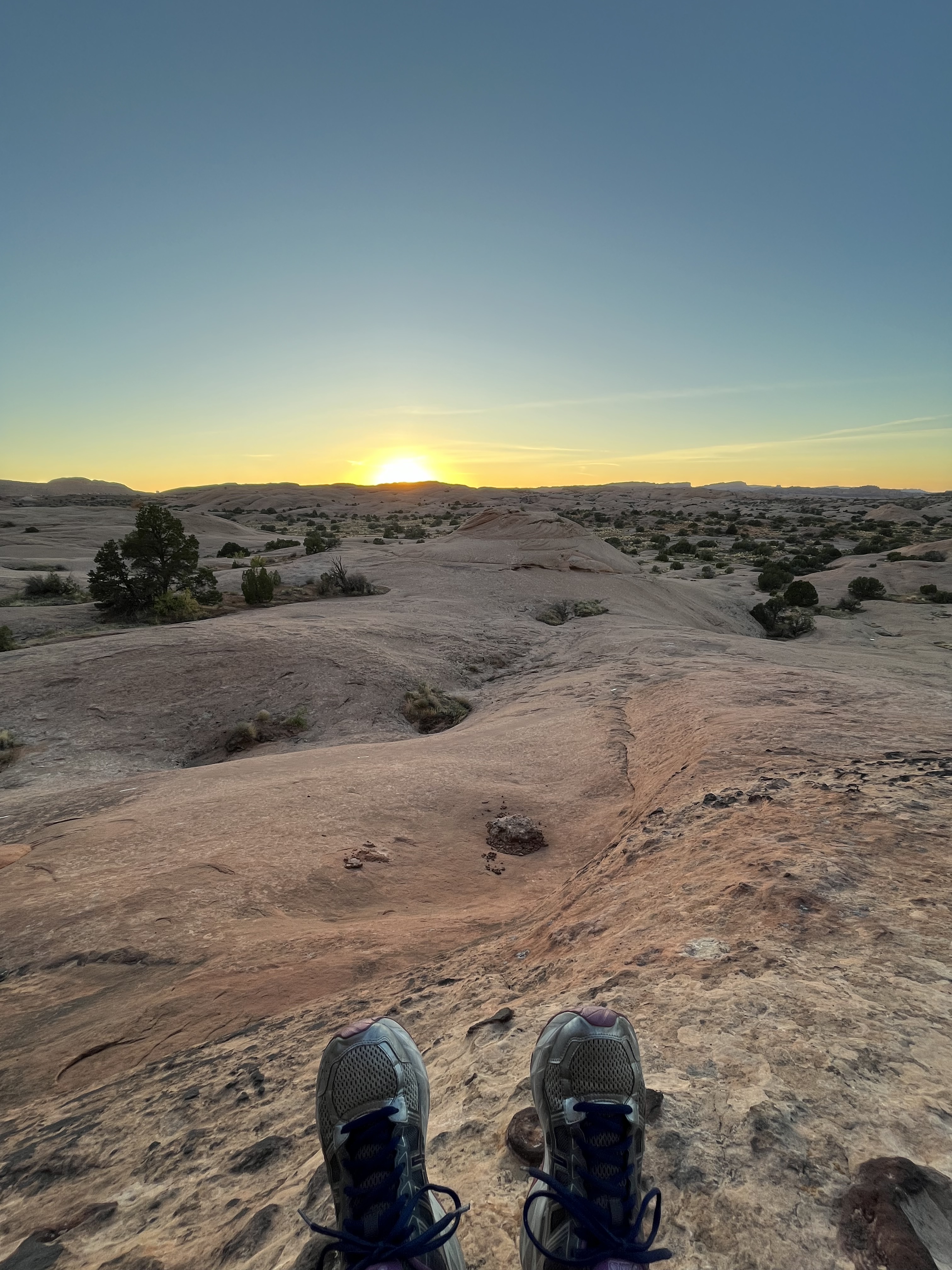
Playing with shadows.My SAT and me.Yes, those are my shoes.
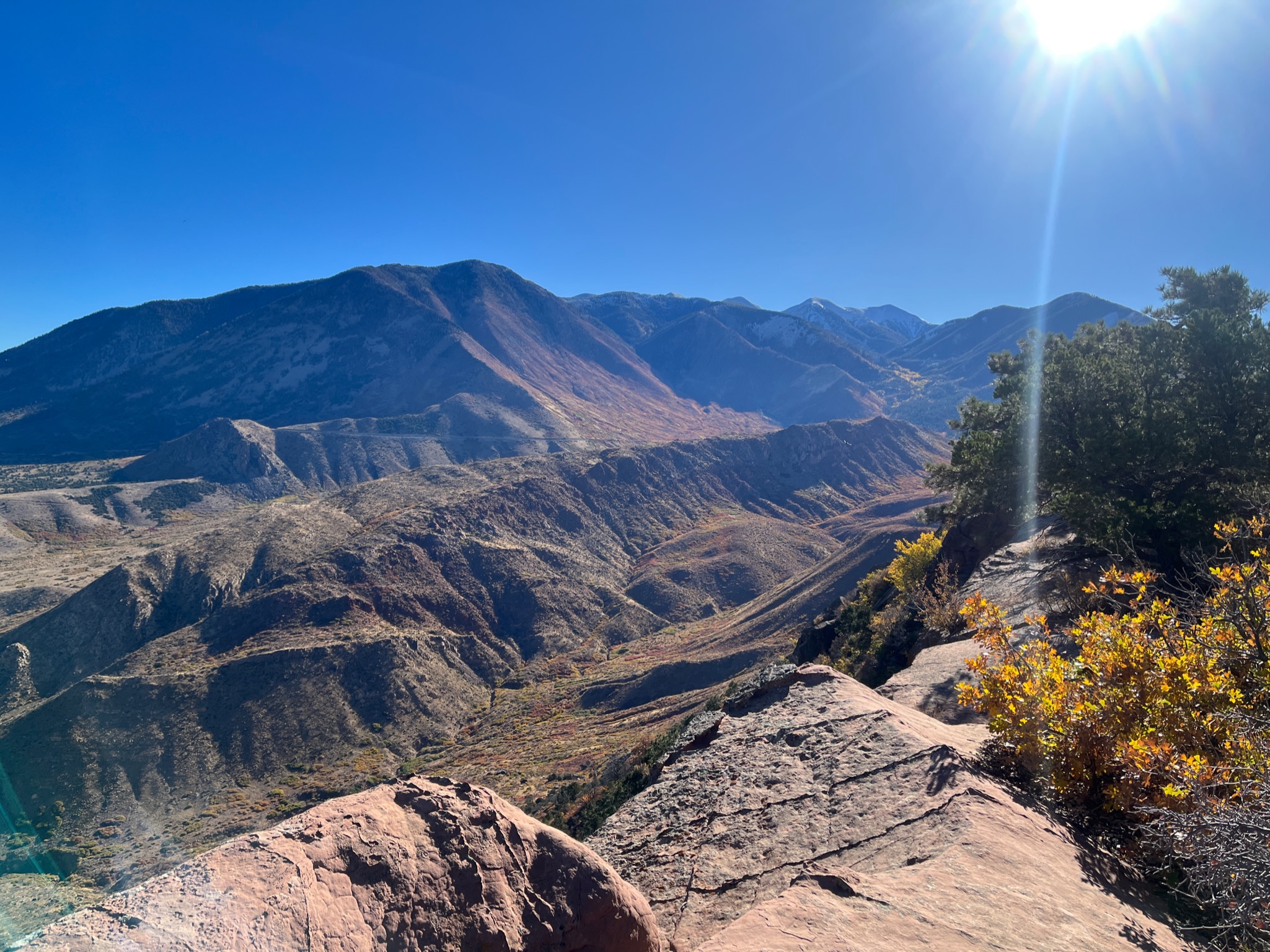
Last weekend, I got to experience the beauty of The Whole Enchilada (TWE) trail. TWE is an iconic mountain bike trail just outside Moab, Utah. The entire 27 mile (43 km) long trail is actually made up of several shorter trails that begin at an elevation of 11,177 ft (3,400 m) at Burro Pass in the La Sal mountain range. You ride down, through, and over mountains, alpine forest, and red sandstone / slickrock, dropping about 7,700 ft (2,350 m) all the way down to the Colorado River. It’s an amazing trail that offers gorgeous views at almost every turn. My jaw dropped every time I rounded a corner! It was really hard not to take pictures ALL THE TIME.
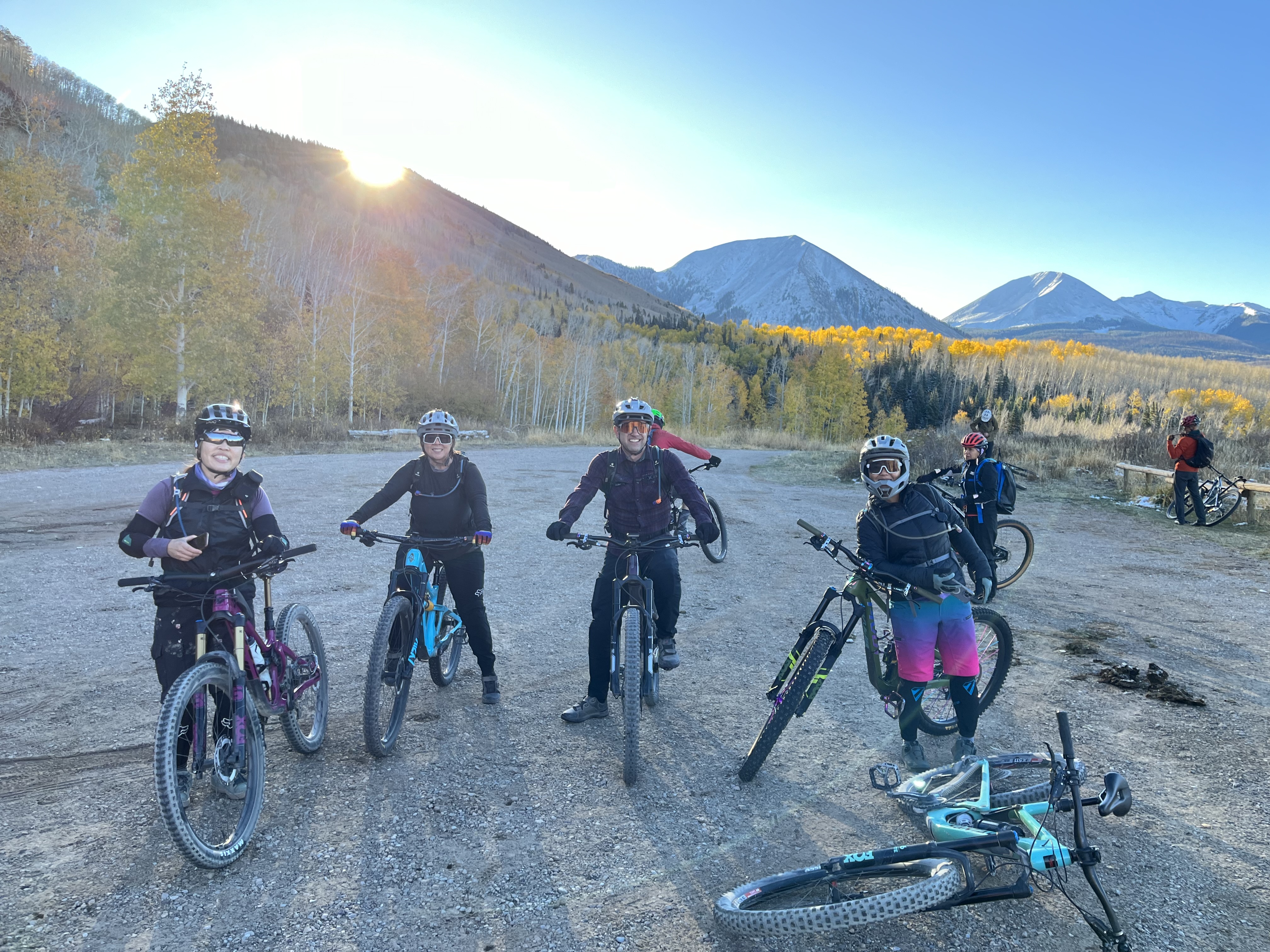
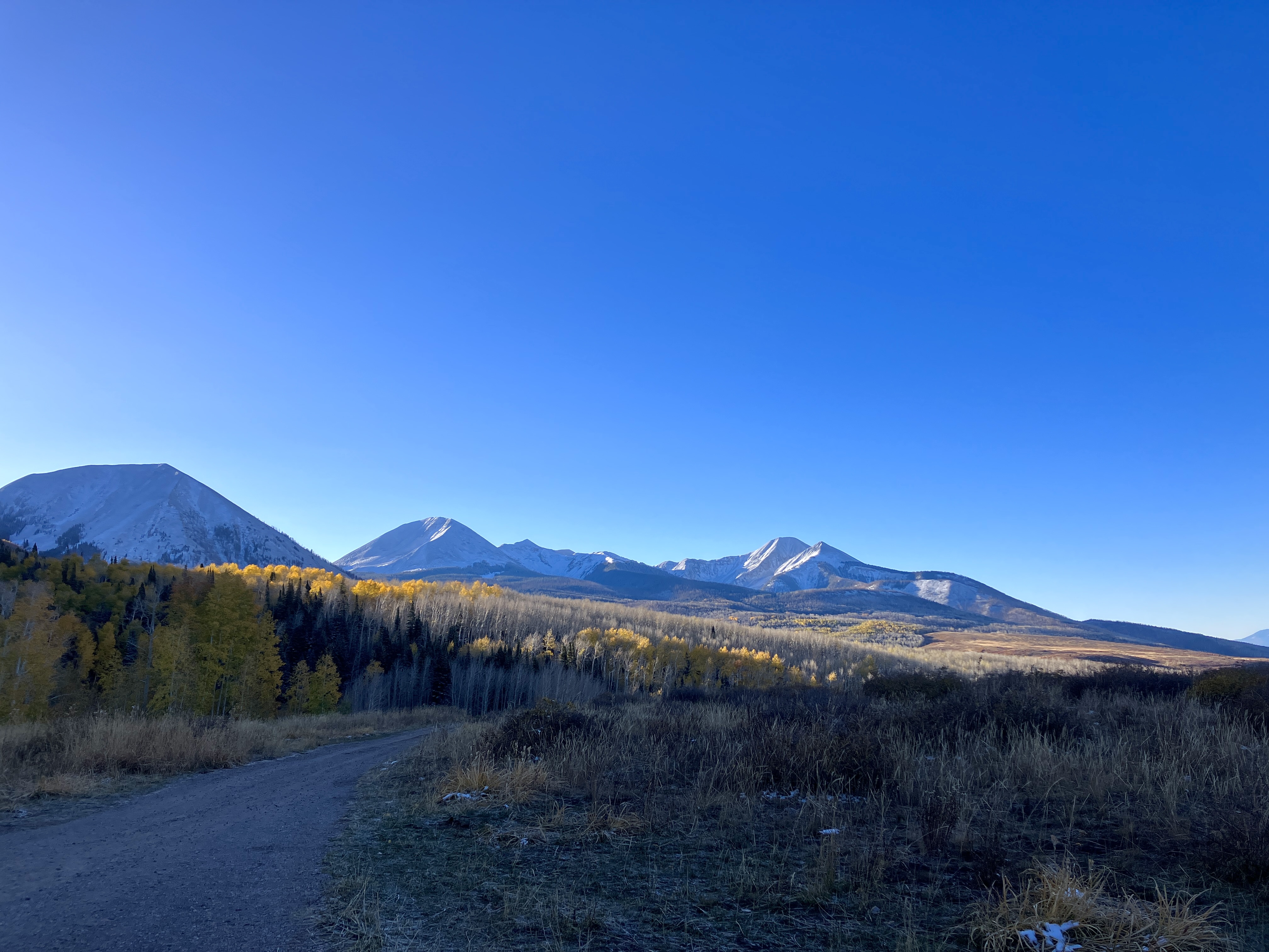
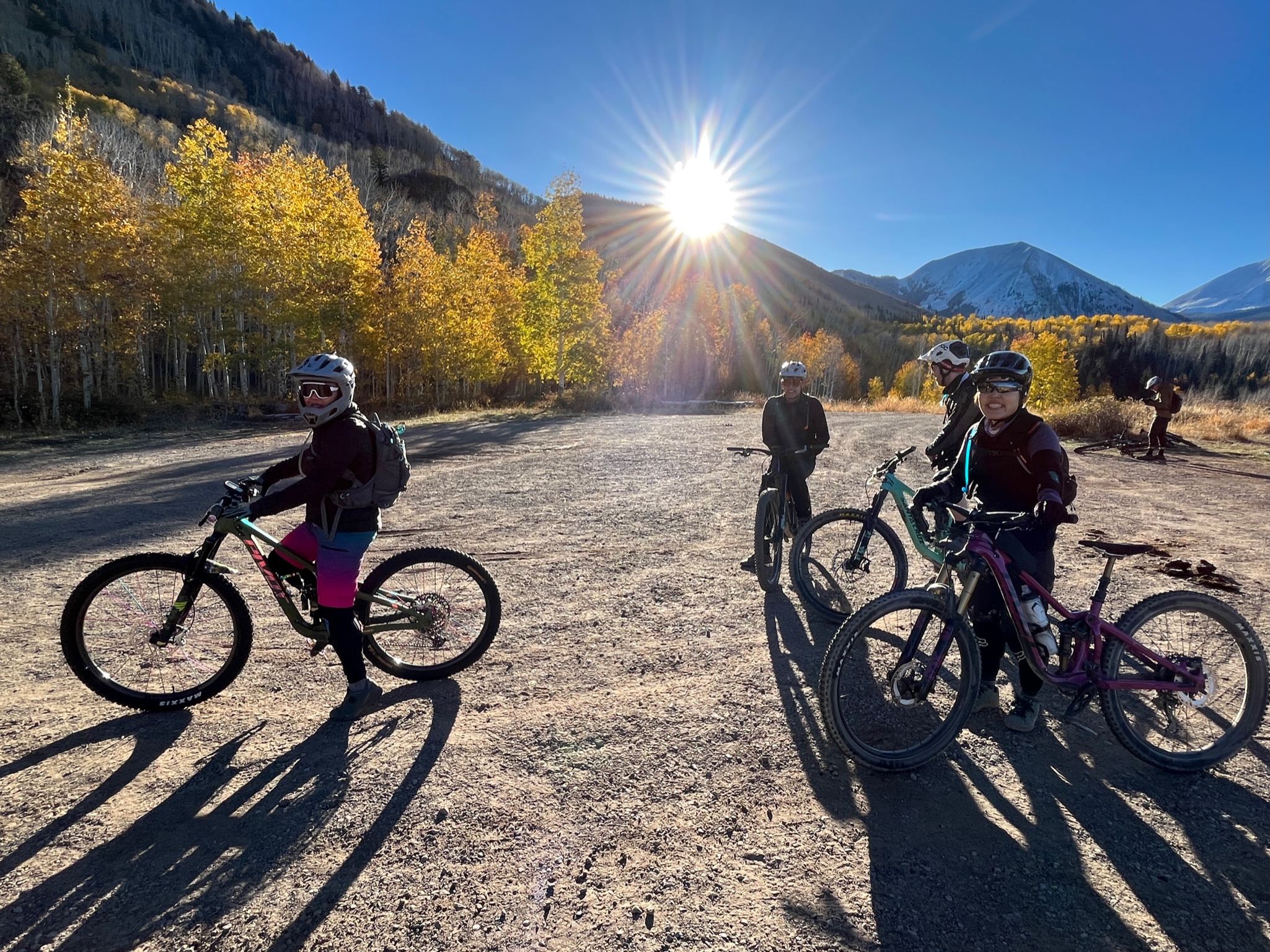
The only unfortunate part about our ride is that Burro Pass was closed to the shuttle vans due to snow, which meant that our TWE ride would be a few miles shorter. We’d also miss out on the first climb (a couple of my friends were happy to hear that!). When our shuttle dropped us off at the Hazzard County trailhead (9,350 ft elevation / 2,850 m) at about 8:30am, we were greeted by snow, crisp mountain air, and near freezing temperature. The initial short climb helped to warm me up and the scenery (and altitude!) made me breathless.
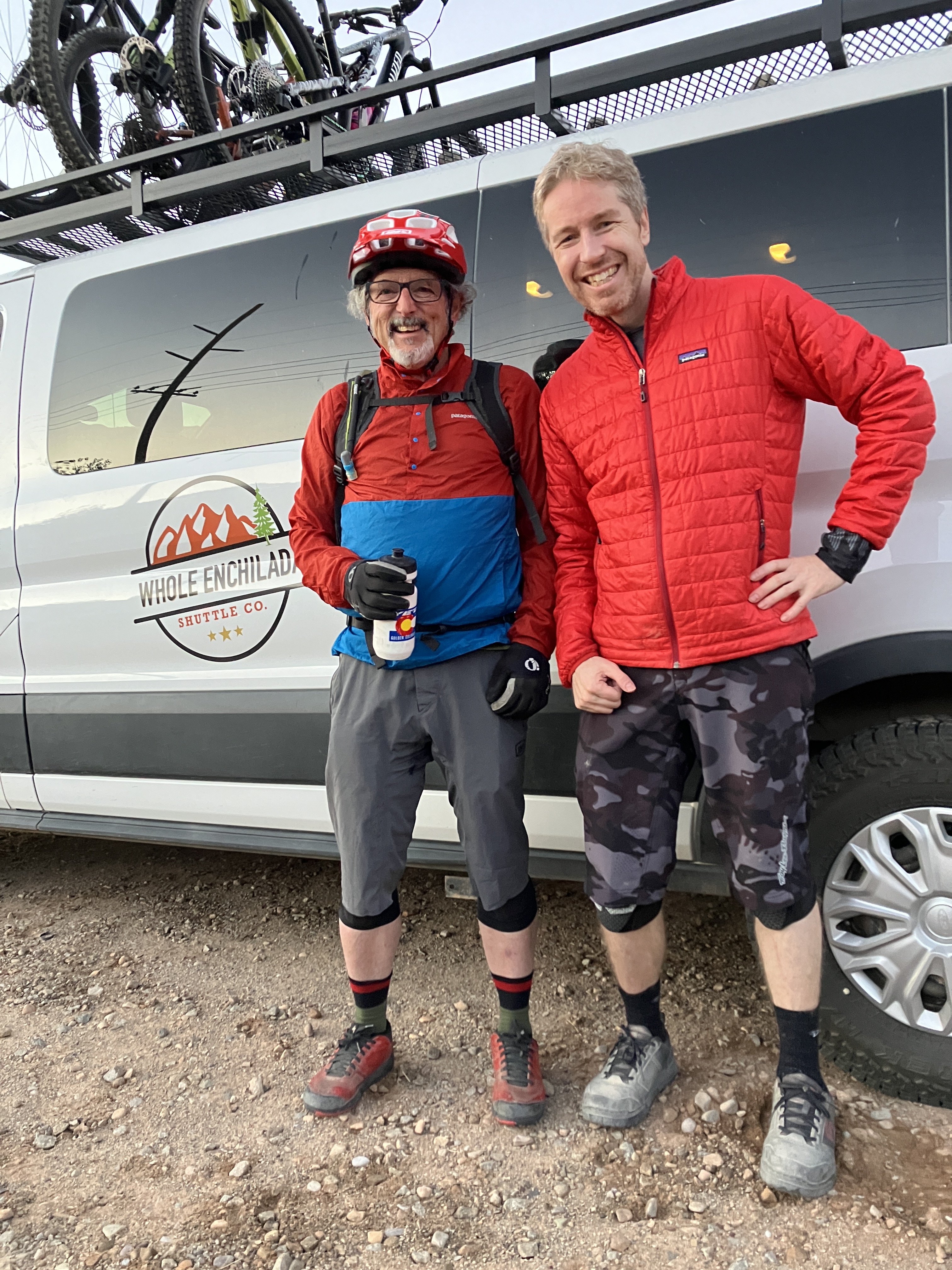
My SAT (self-appointed trainer) recognized Richard Cunningham, a biking giant!The shuttle’s trail map.On the shuttle with Jess and my SAT. Dang….I look like a sushi chef…Just about ready to roll!Beautiful mountains.So excited to be here!Taking a break after the initial Hazzard County climb.Oh, I recently got a new bike! It’s a Pivot Shadowcat, a.k.a., Sassy Cat. She handled TWE so well!
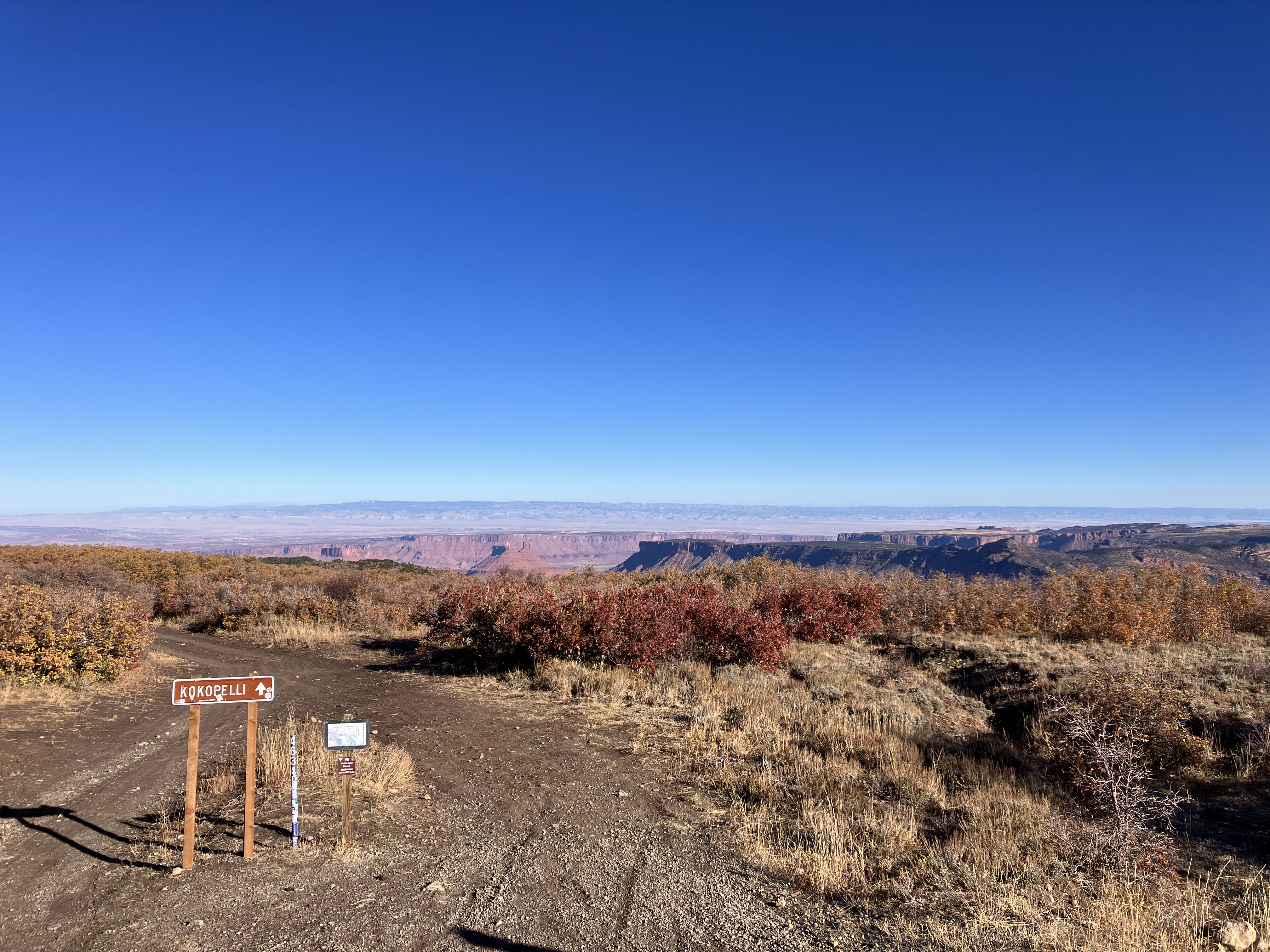
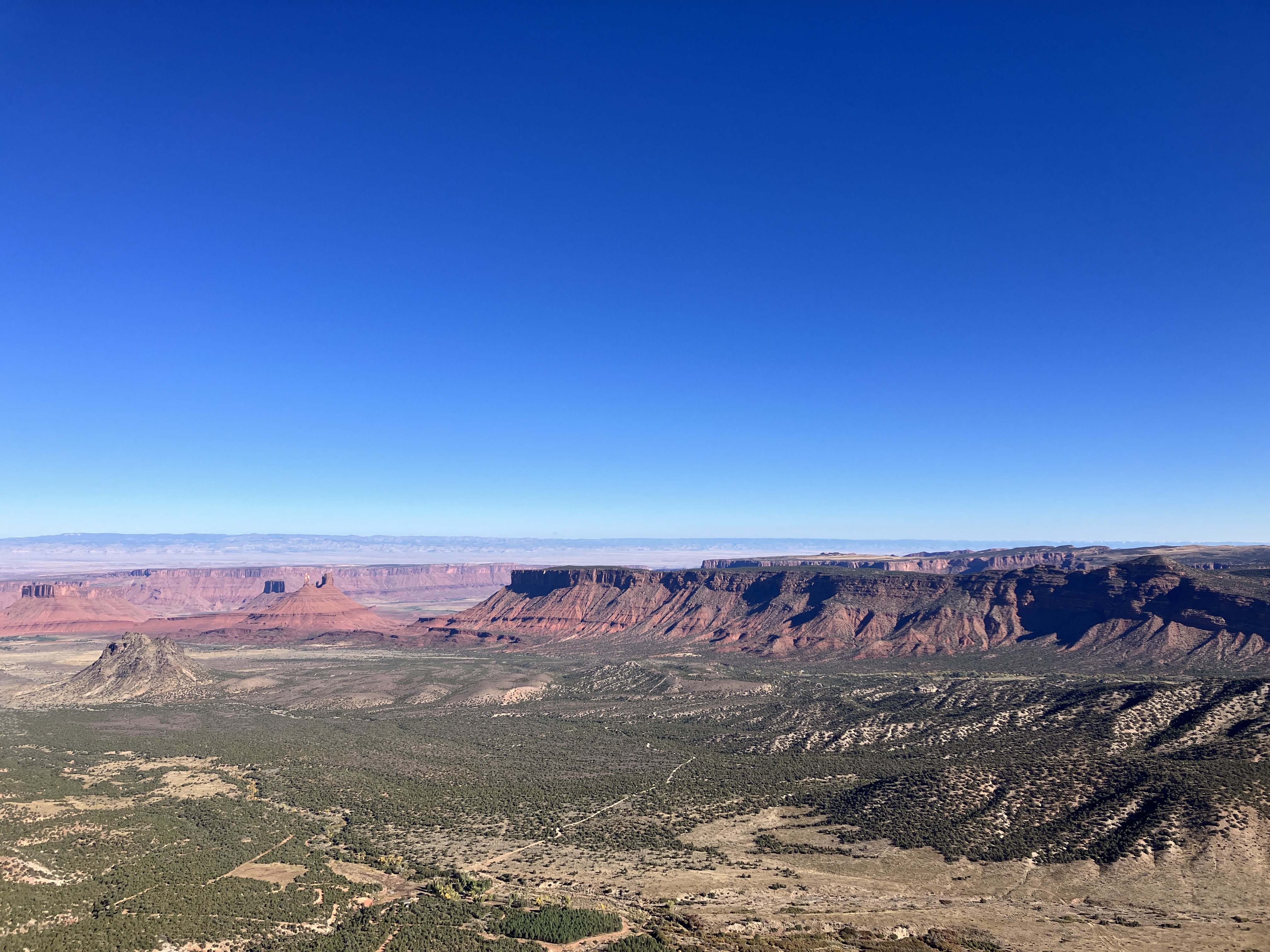
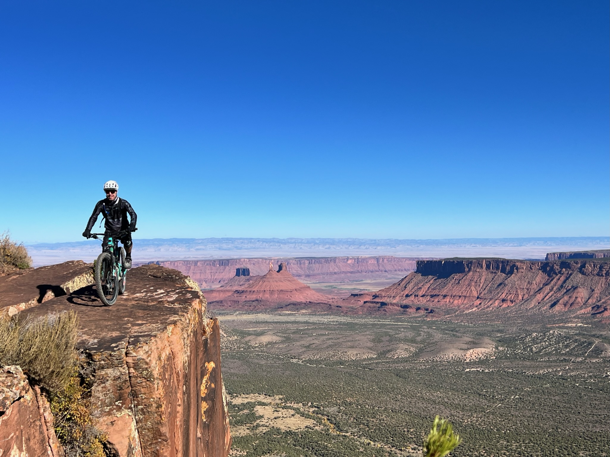
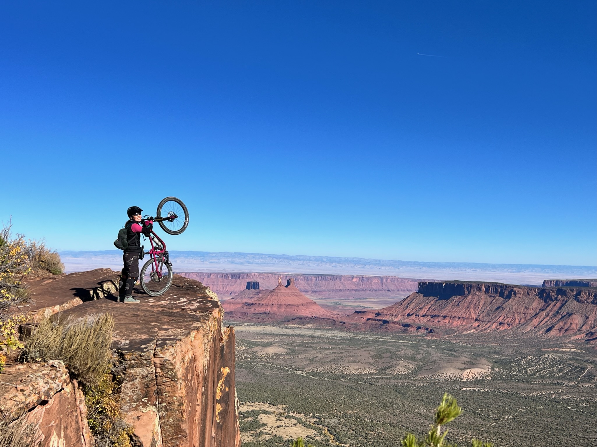
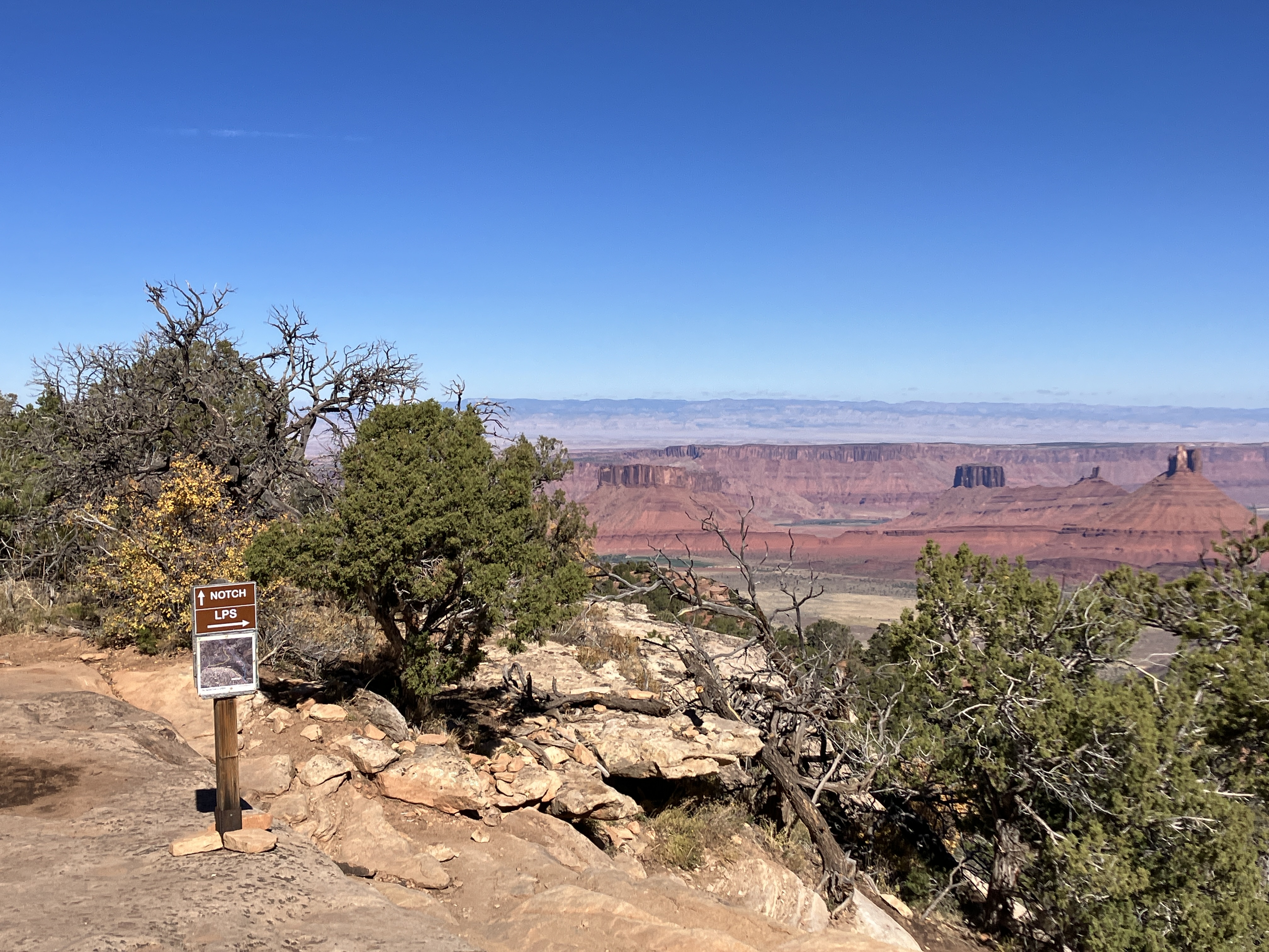
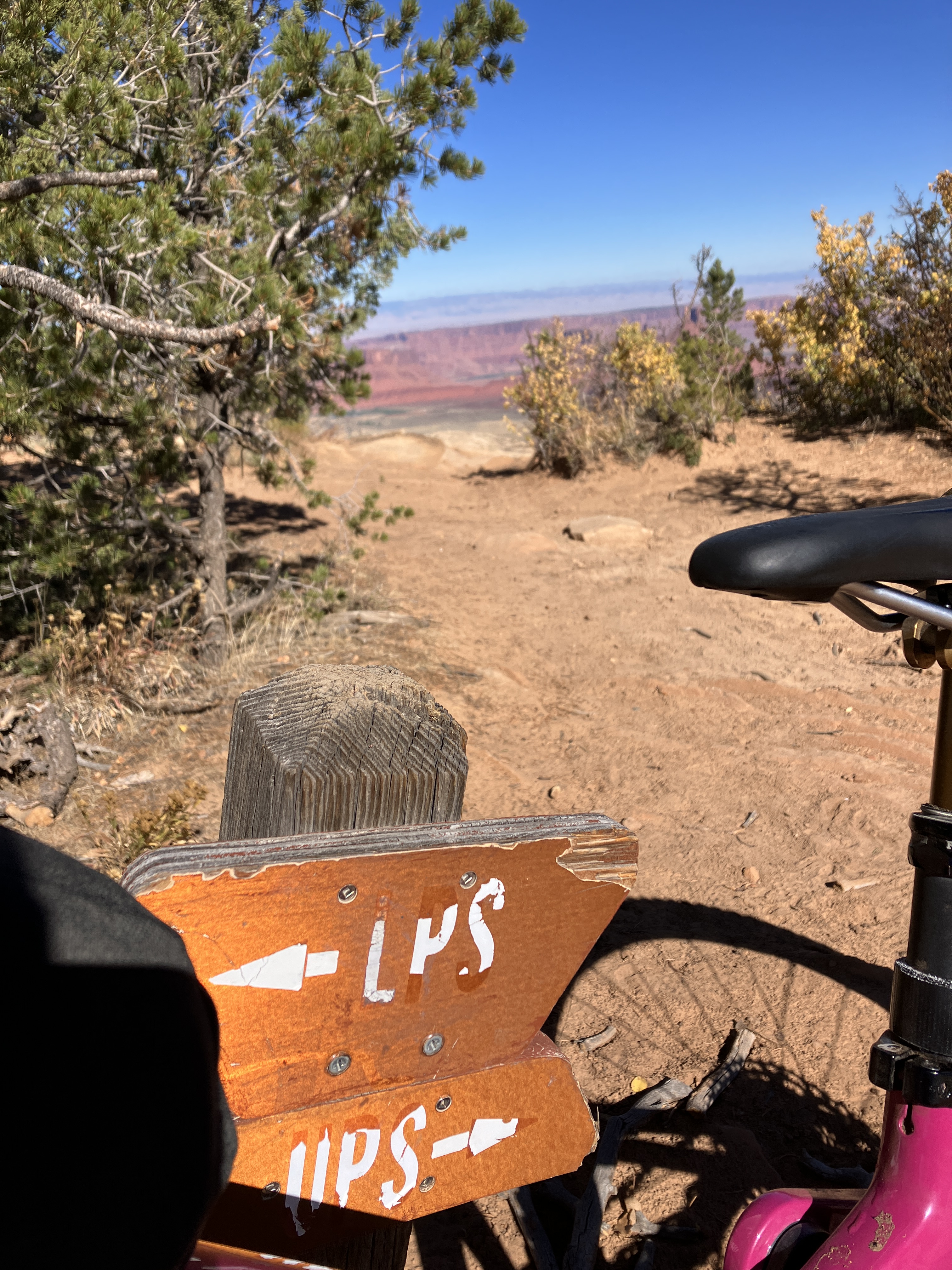
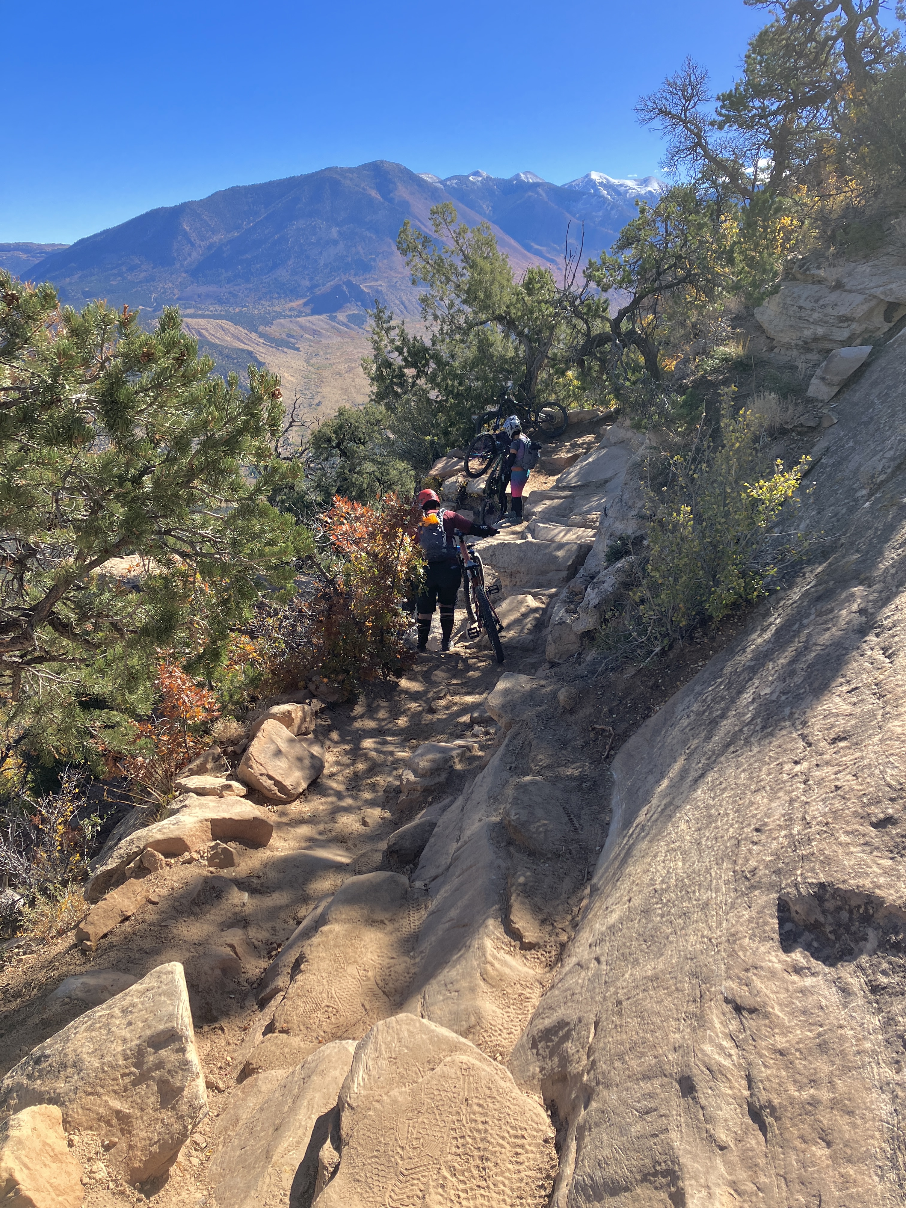
The next section was the Kokopelli trail, which is a wide, rocky / chunky dirt road. It was very easy to go very fast. Kokopelli melded into the UPS (Upper Porcupine Singletrack), which was immediately followed by the LPS (Lower Porcupine Singletrack) trail. Both UPS and LPS are fun trails with lots of overlooks from which to enjoy the sweeping views. About halfway down LPS is the super technical section called the “Snotch” (no idea where that name comes from). The Snotch is super steep, narrow, and hard to walk down! My SAT (self-appointed trainer) was able to ride down the first half of the Snotch….even he said it is difficult, haha.
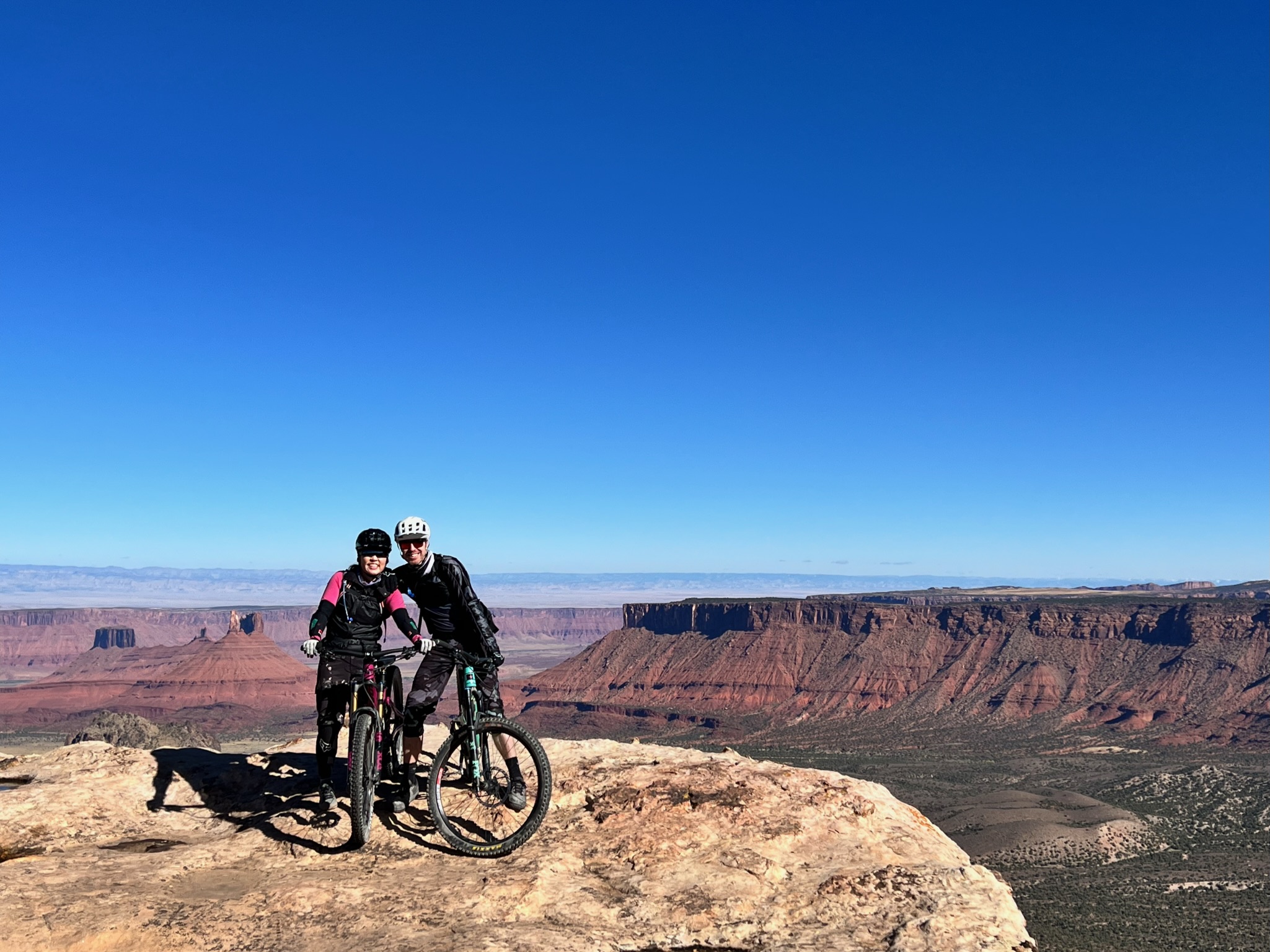
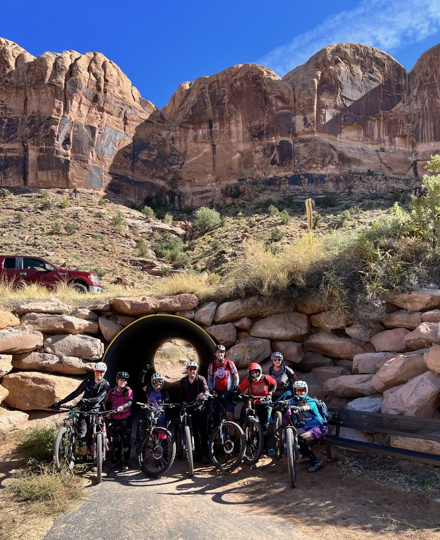
Kokopelli trail start.So many beautiful views!About to head down LPS (Lower Porcupine Singletrack).The crew!Making our slippery way down the Snotch.
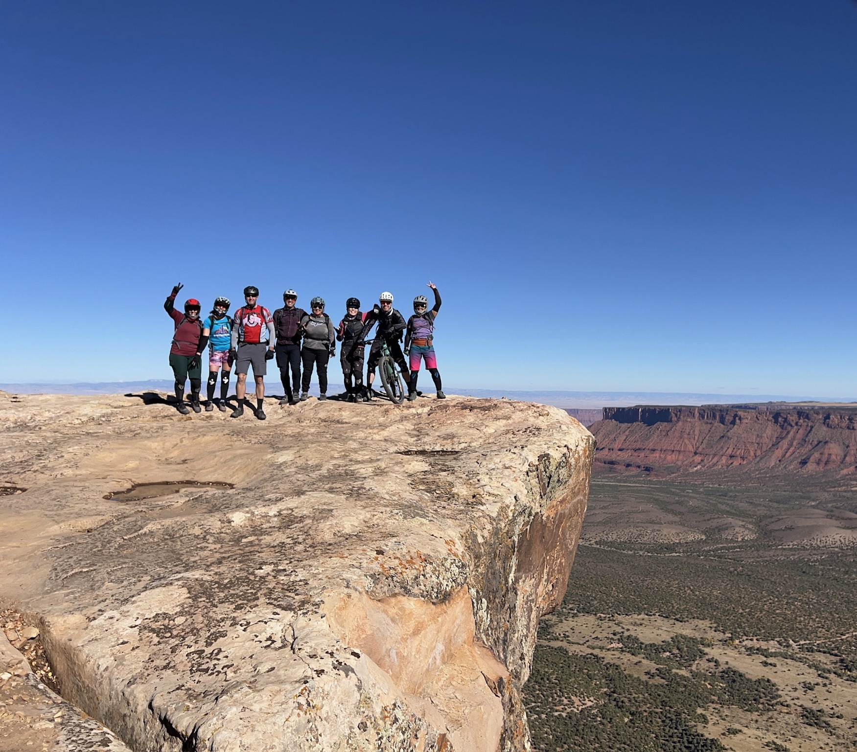
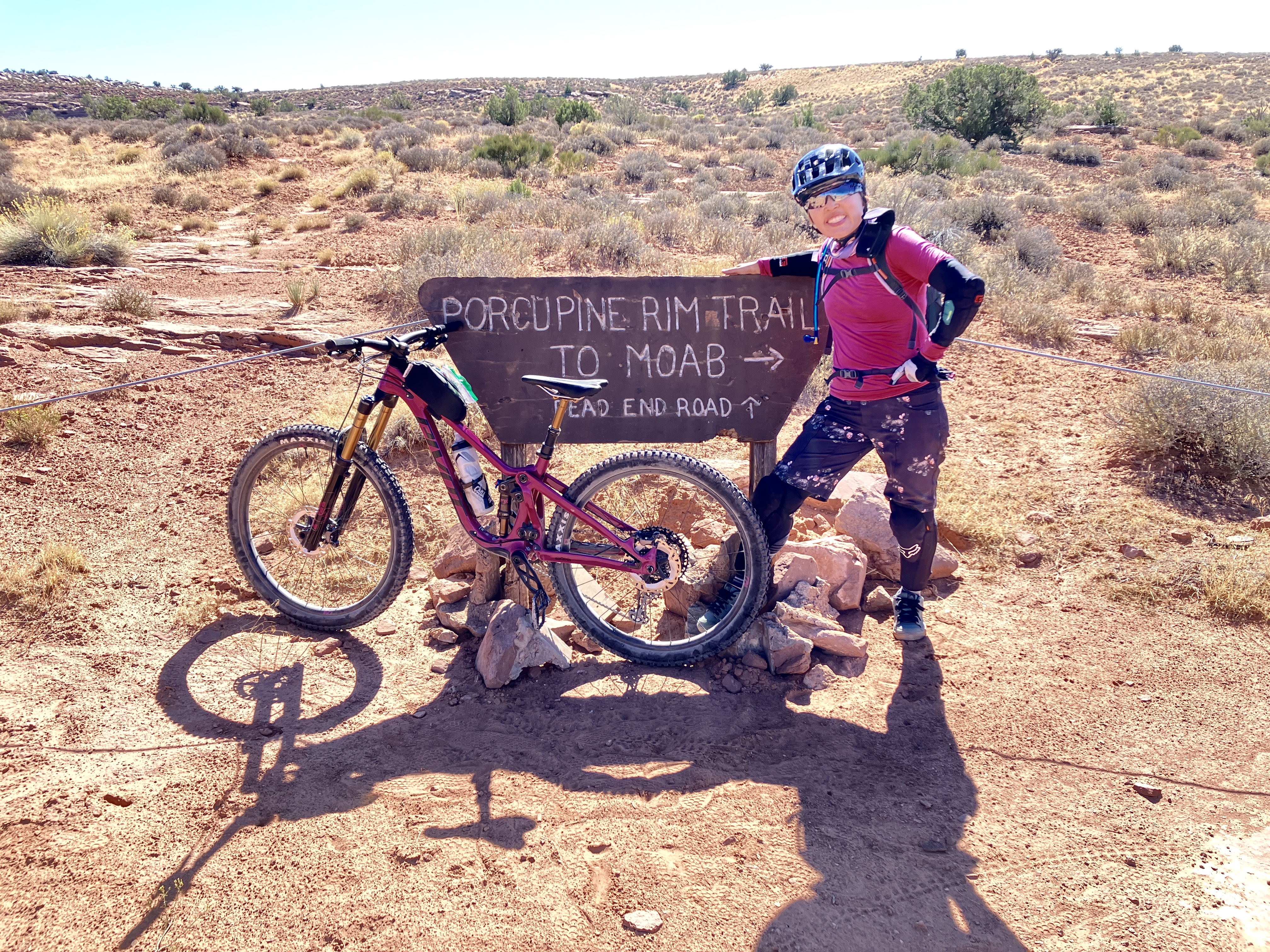
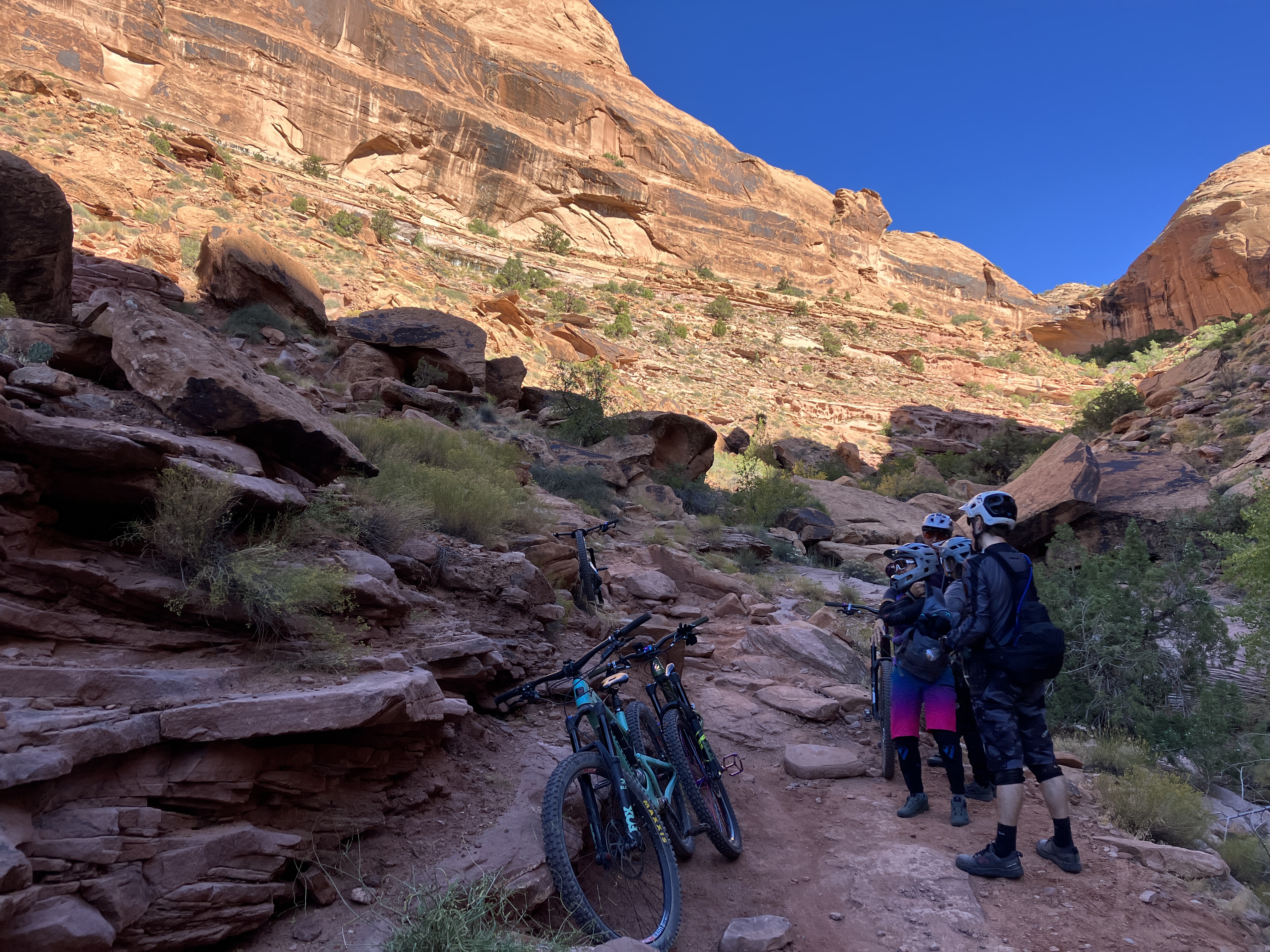
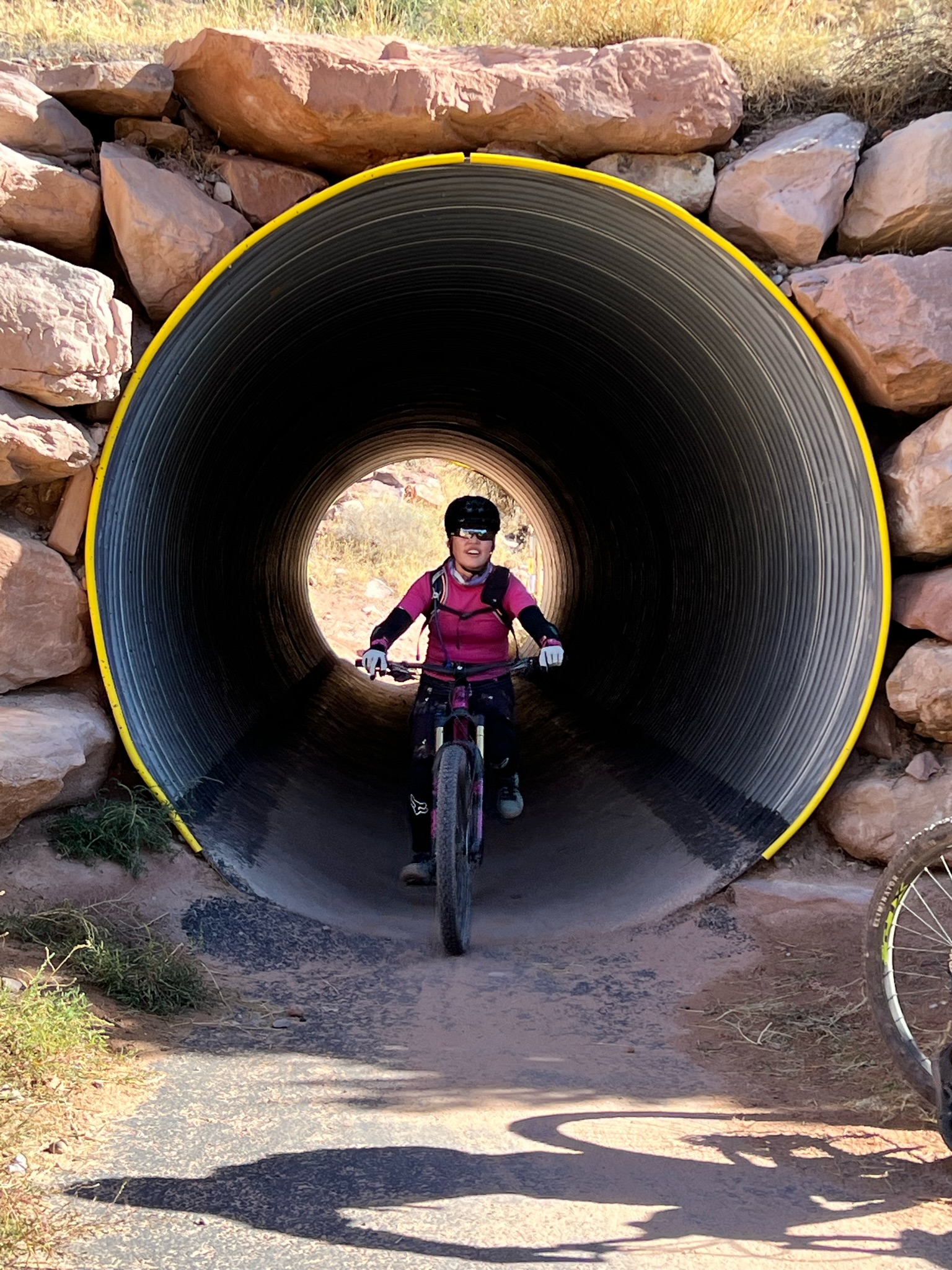
The last and longest portion of TWE is Porcupine Rim, which many say is the most difficult section. I agree, for several reasons: you’re somewhat tired by that point, the trail is technical (i.e., chunky, steep in spots, high consequence in other spots) and fatigue makes it harder to navigate features, and depending on the weather, you could be riding during the hottest part of the day. However, when we started the Porcupine Rim section, the temperature was still really pleasant and we were excited that we were heading into the home stretch. This last part was challenging, but my group emerged unscathed and pretty full from our “enchilada” experience!
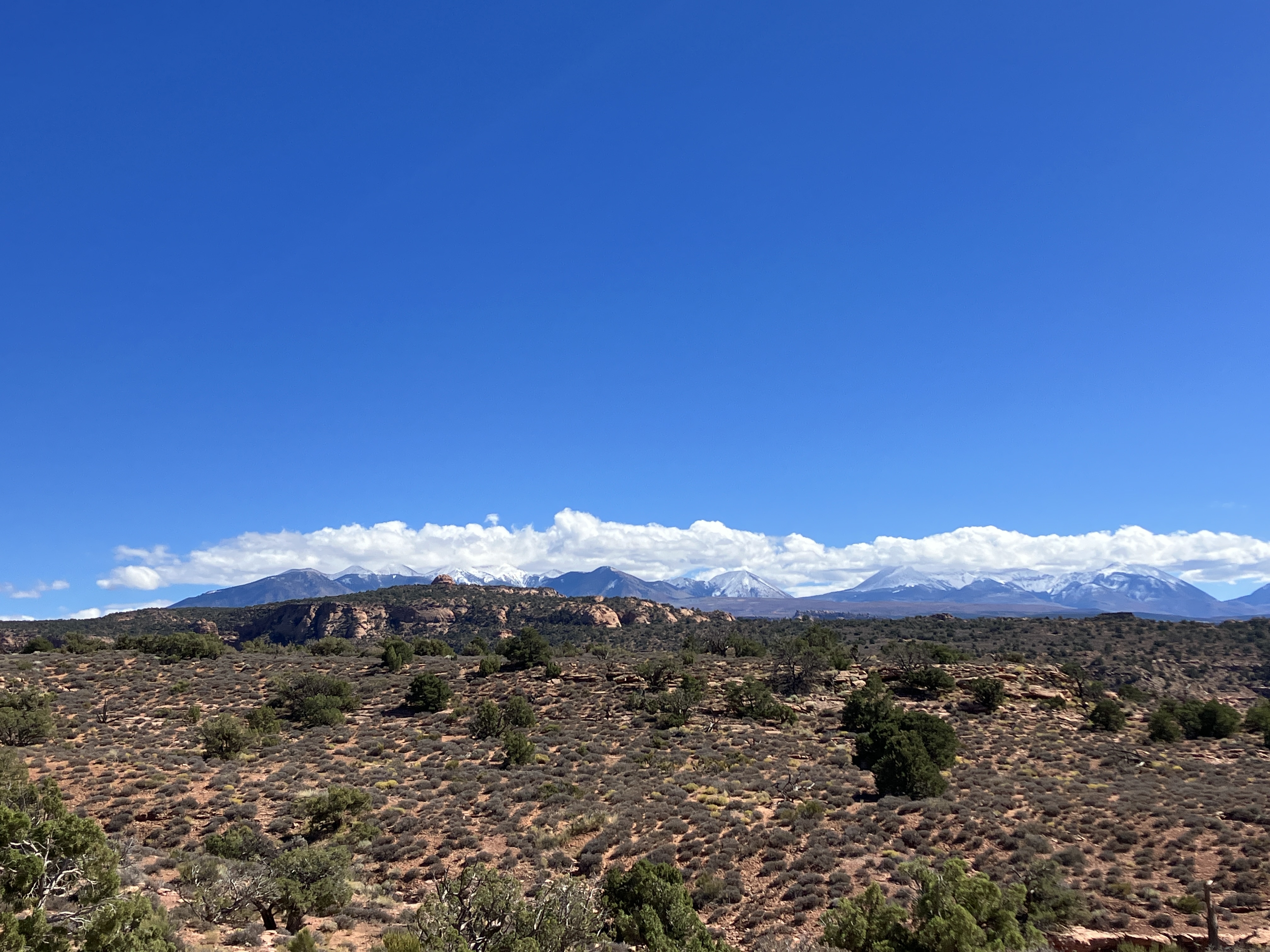
The last section of TWE!You can see how different the landscape is here than in Hazzard County.If you can see this, you’re getting close to the end!Colorado River.I told everyone to smile here, haha.The last technical feature before the end of the ride.Rolling through to the end!We did it!
It was really a perfect day. My group did not have any mechanical issues, other than a slow leak in one tire early in the ride, which was easily fixed. We also did not have any crashes or incur any injuries, which is a huge win. Would I do anything different? Yes: I need to remember to eat regularly. I started feeling weak and very low energy about a couple hours into the ride, which made me walk some technical features I normally would ride. However, after eating a couple of peanut butter and jelly sandwiches, I felt MUCH better and my riding reflected that. Overall, I had a fun time with my crew, felt like I rode well, and am making plans to ride TWE again, possibly next year!
Lessons learned
Eat food regularly. As I said earlier, I was feeling pretty weak a couple hours into the ride (before hitting the Snotch). I should have set up hourly alarms to remind myself to eat, similar to what I did during my Rim to Rim hike.
Wear and bring layers. It’s cold at the start of the ride!
Make sure the bike is tuned up before the ride. In my case, I just bought a new bike (Pivot Shadowcat!! I’ll officially introduce my “Sassy Cat” in my next post!), so everything was already in tip-top shape. (Side note: riding TWE on my new bike made the experience even more epic!)
Doing some regular upper body strength training is a good idea to develop the strength you’ll need to ride downhill for several hours at a time.
Consider bringing a bike light next time, just in case.
Have a bigger backpack for next time. My 3L Camelback was not quite big enough. I was lucky this time because my SAT (self-appointed trainer, a.k.a., my husband) had a big backpack and could carry a few things for me.
Gear
Bike stuff:
Helmet
Spare tube, “bacon strips,” manual pump
Multitool
Master link
Sealant
Elbow and knee pads
Gloves
Sunglasses
Baggie with gauze, tweezers, bandaids.
Duct tape
Clothing:
Buff
Vest
Smartwool base layer
3/4 sleeve jersey
Long riding shorts
Knee socks
Shoes
Food:
I used a small top tube bag to carry a ziplock baggie of Skratchlab chews (about 5 packs). I also had a couple of gels and fig bars.
In my Camelback, I had 3L of water, 2 peanut butter and jelly sandwiches, and a few more fig bars and Larabars.
I also had a little baggie of electrolyte/salt pills and Ibuprofin (i.e., “Vitamin I”).
Other:
I recorded my ride on my Apple watch. Next time, I will use my Garmin to conserve my watch’s battery power.
Took my phone with the Trailforks app. I downloaded the route onto my phone, just in case.