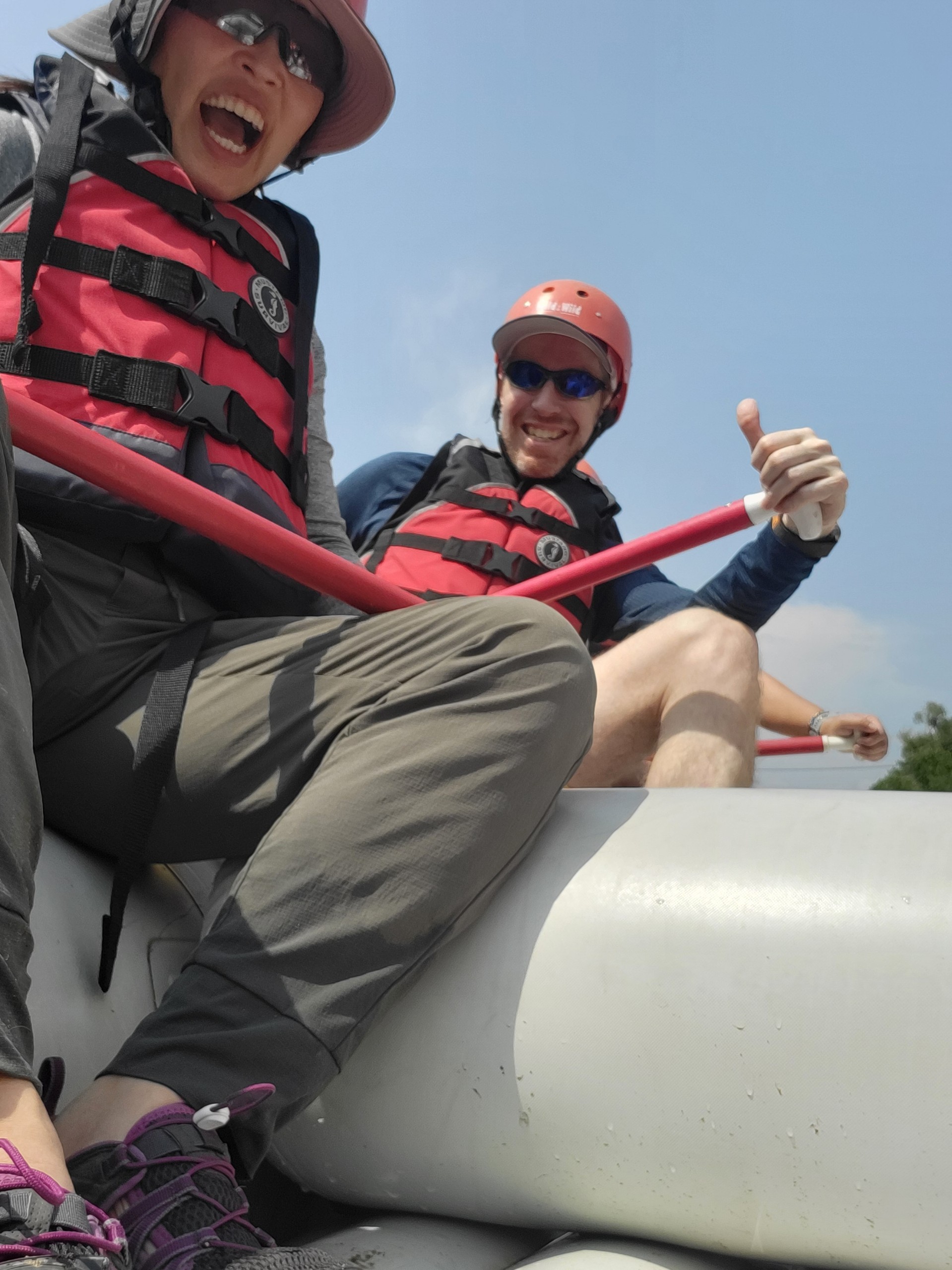
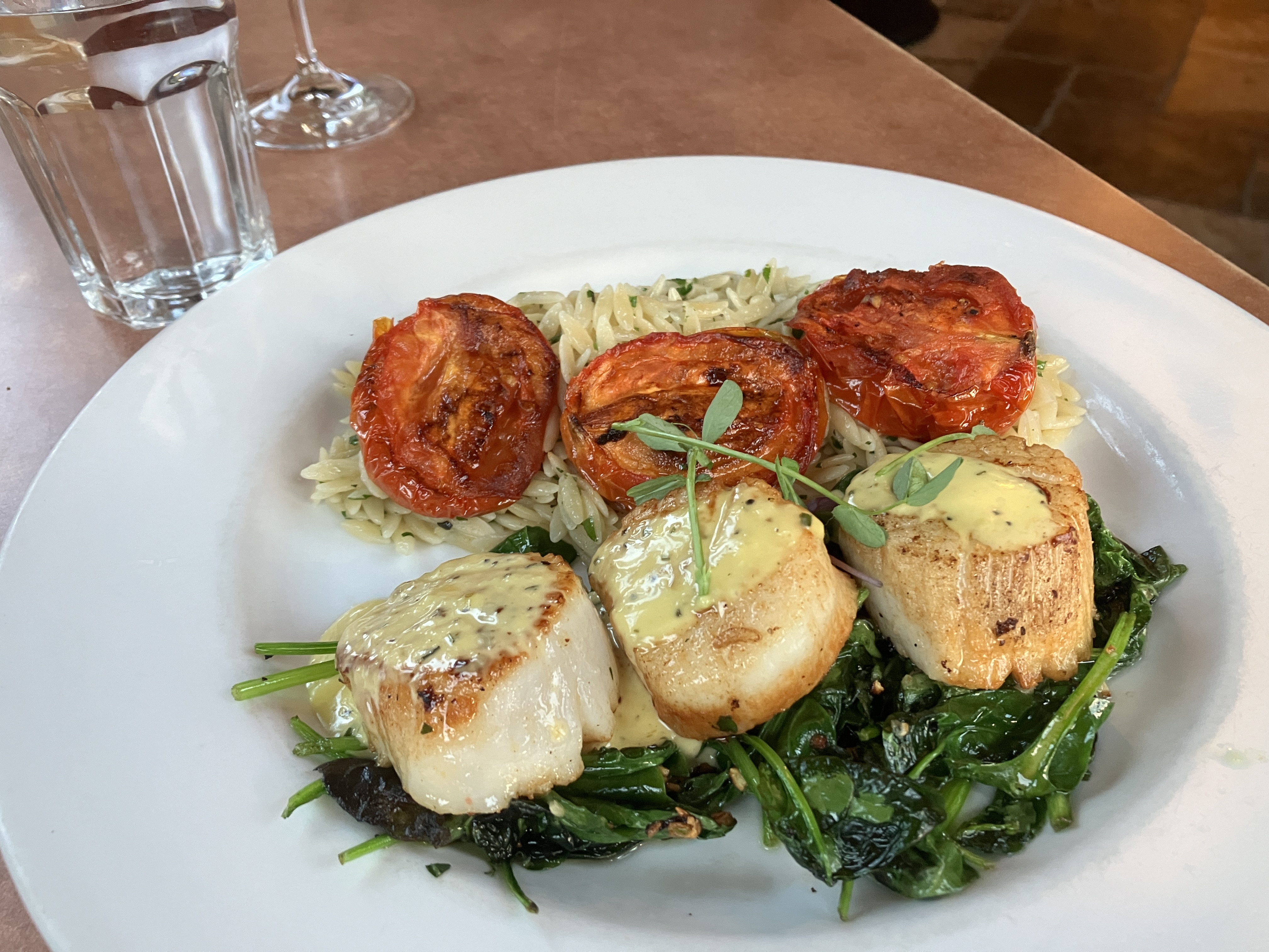
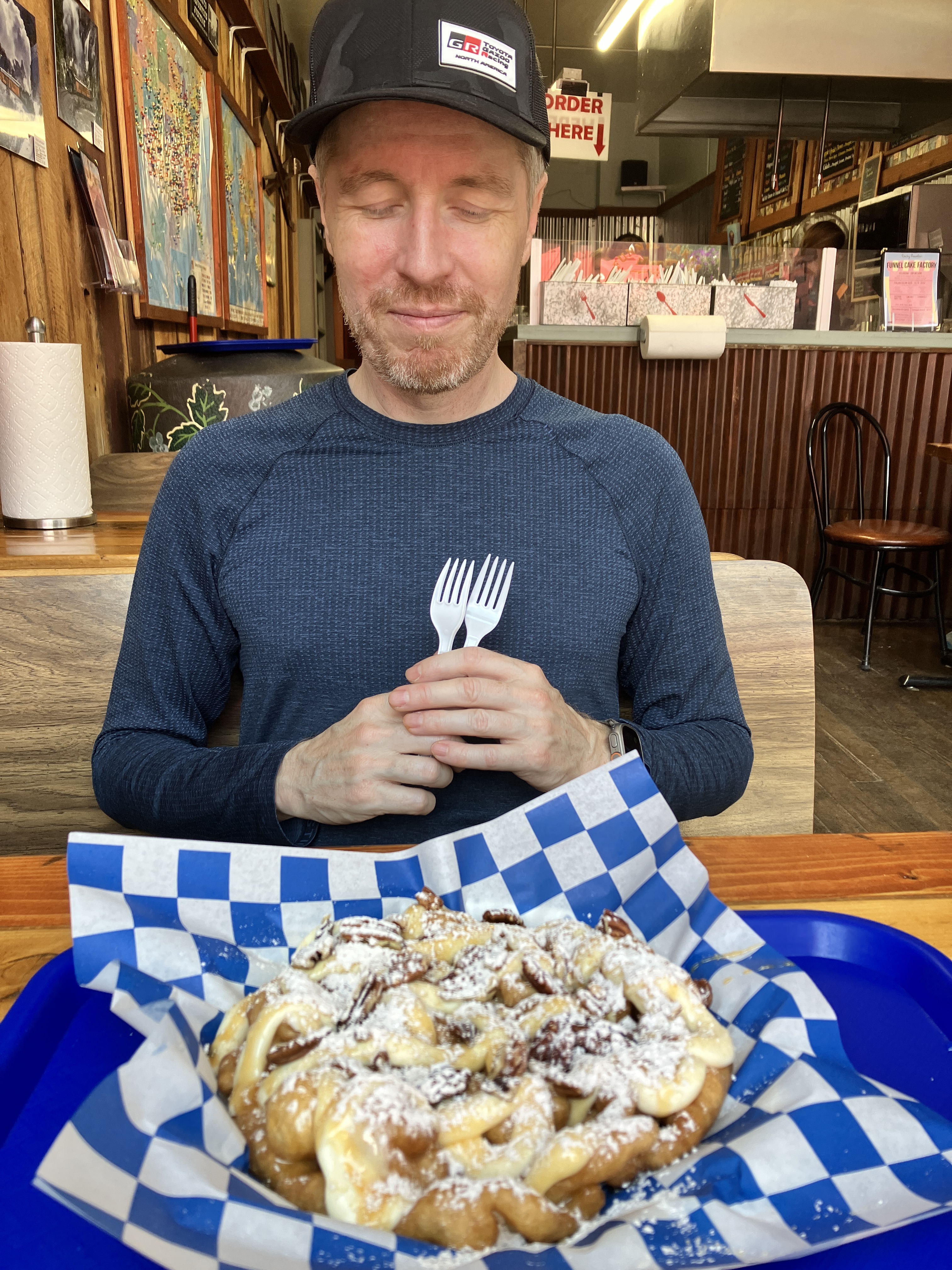
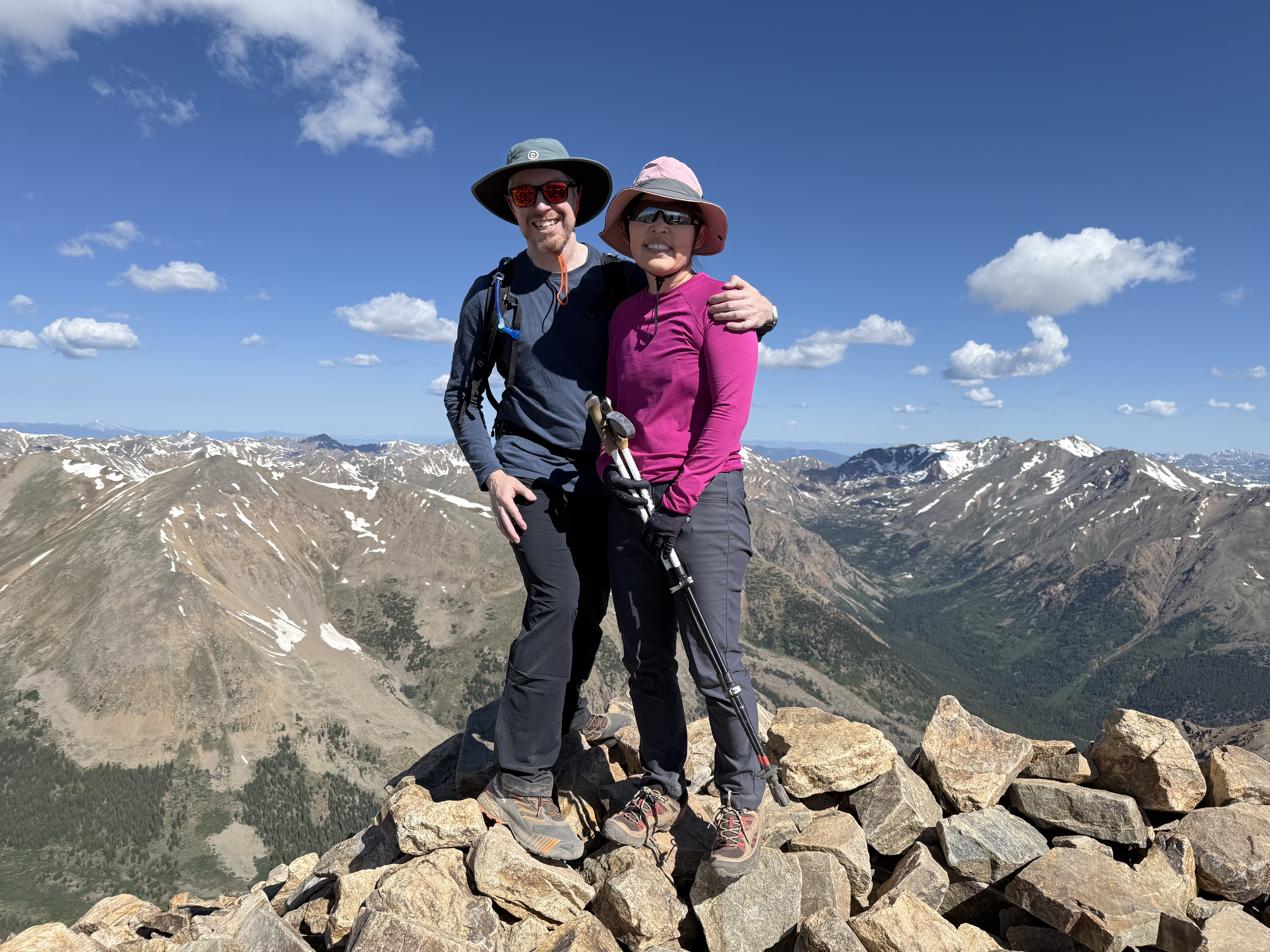
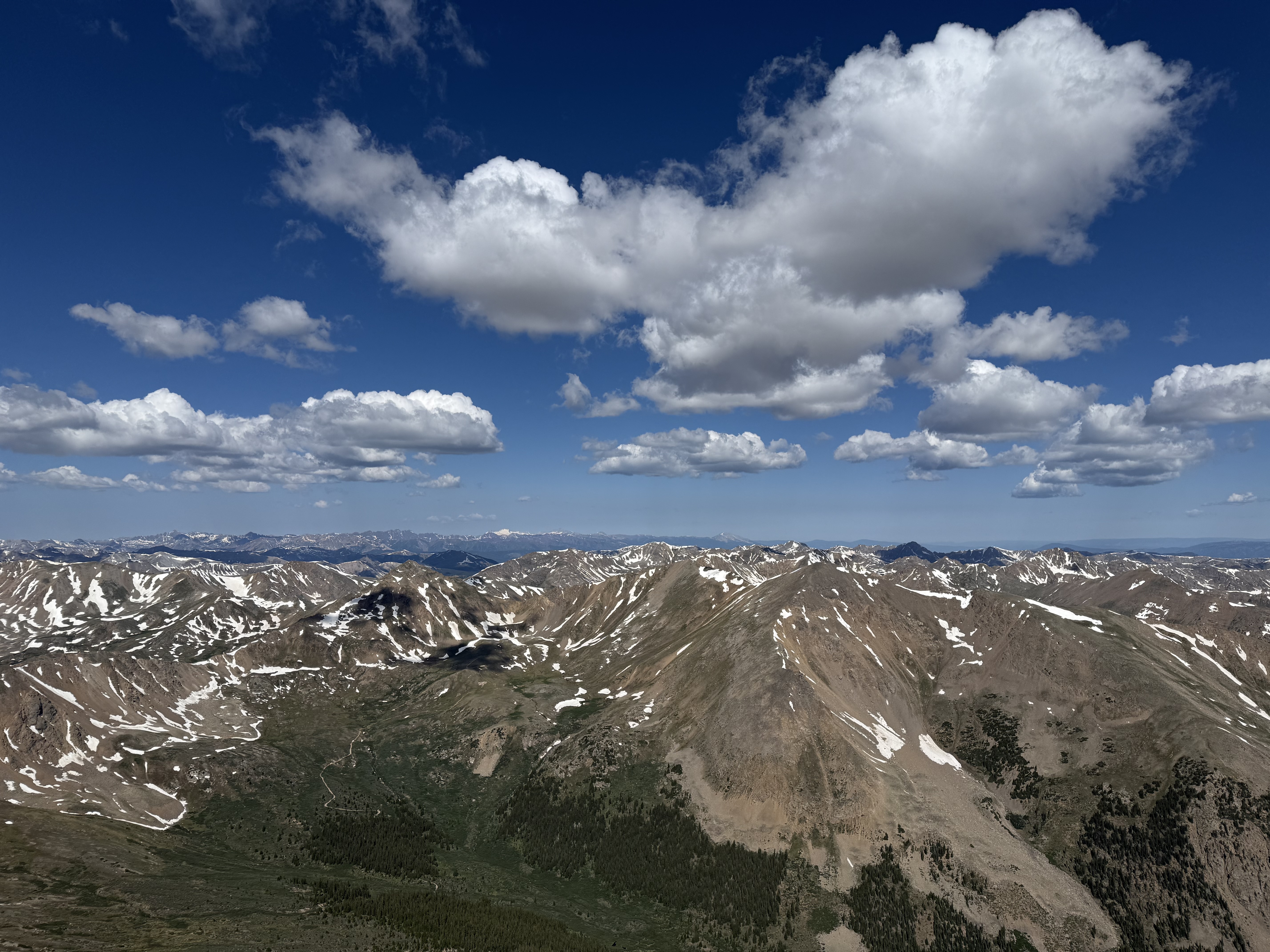
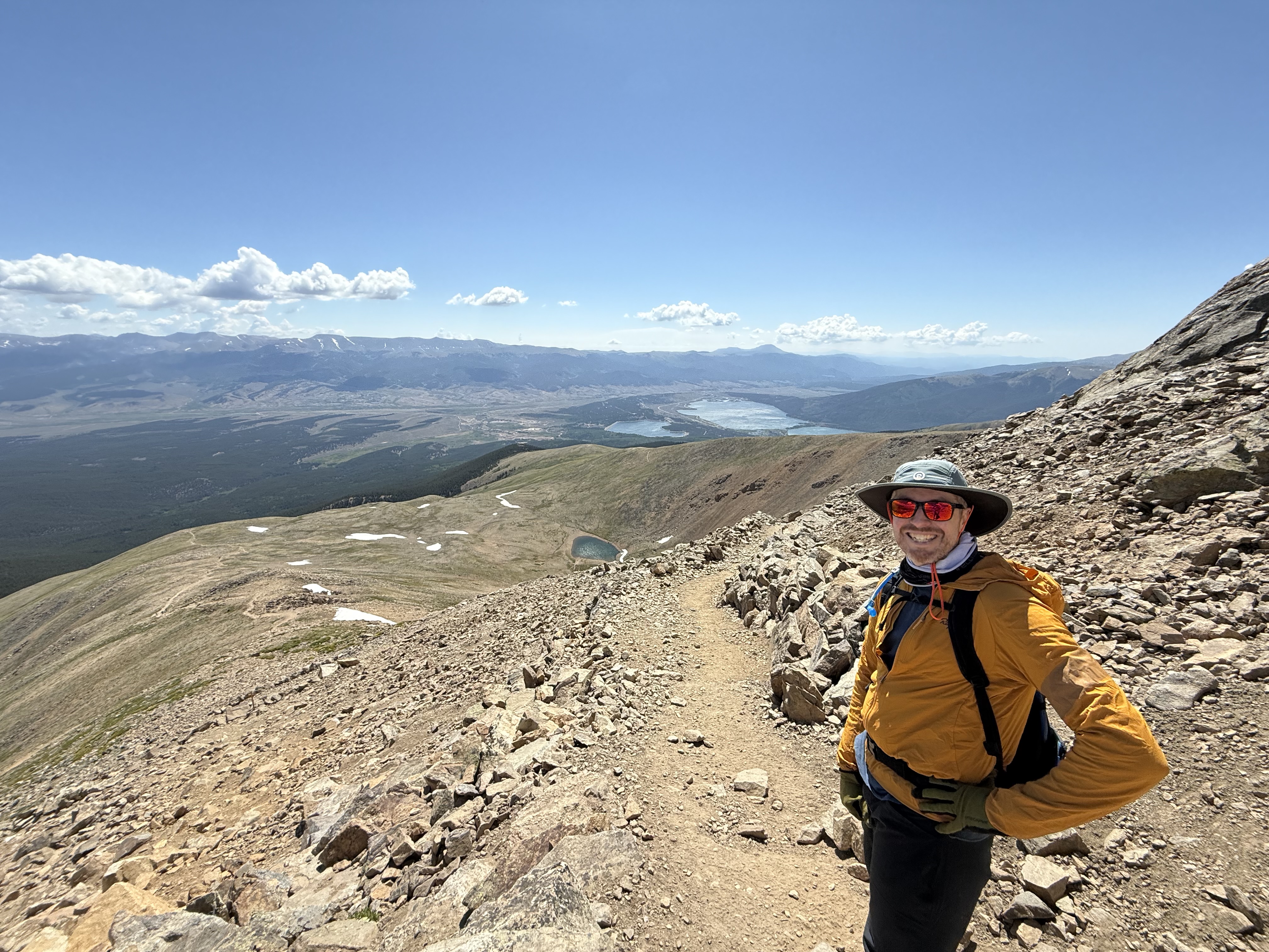
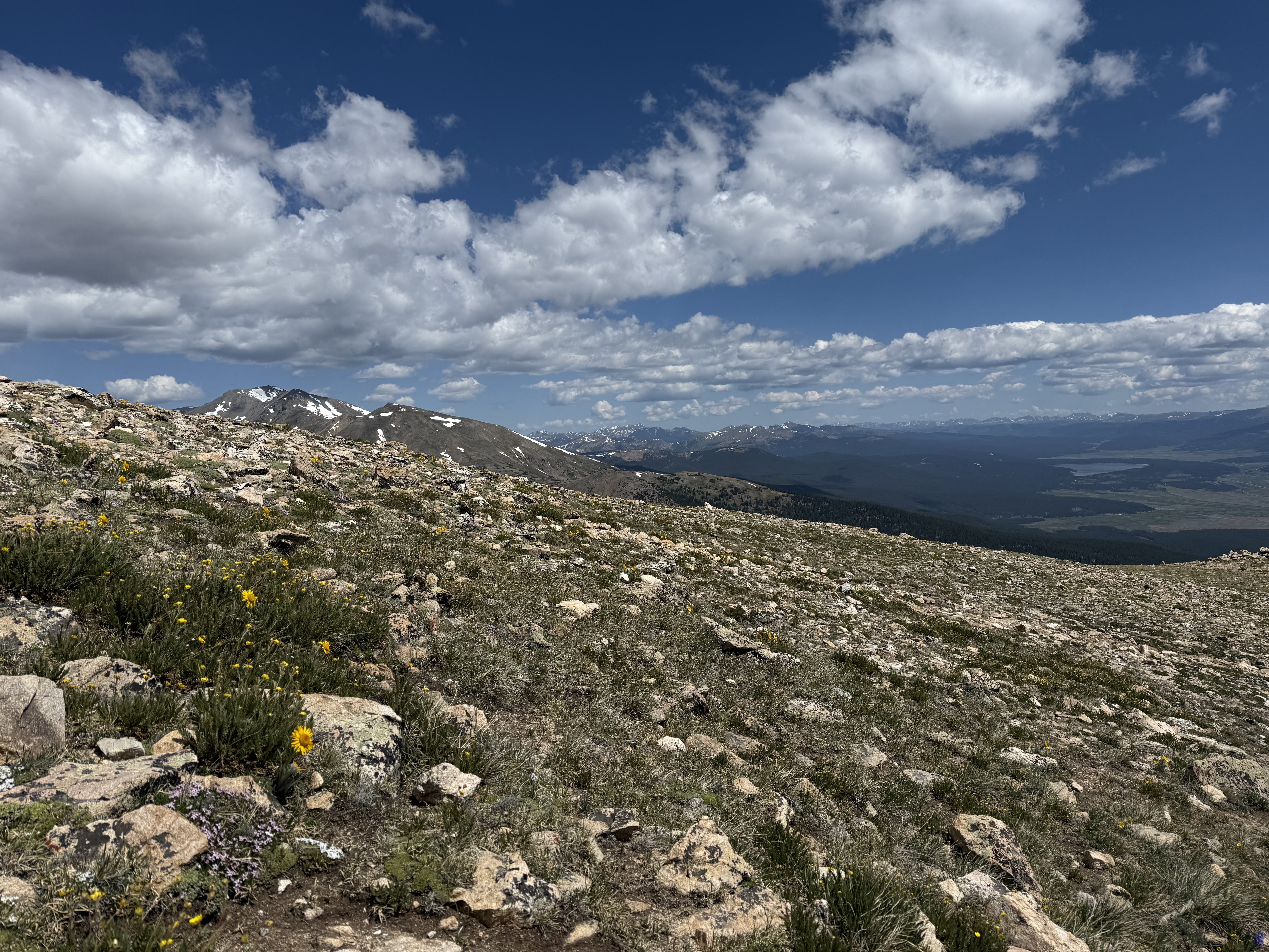
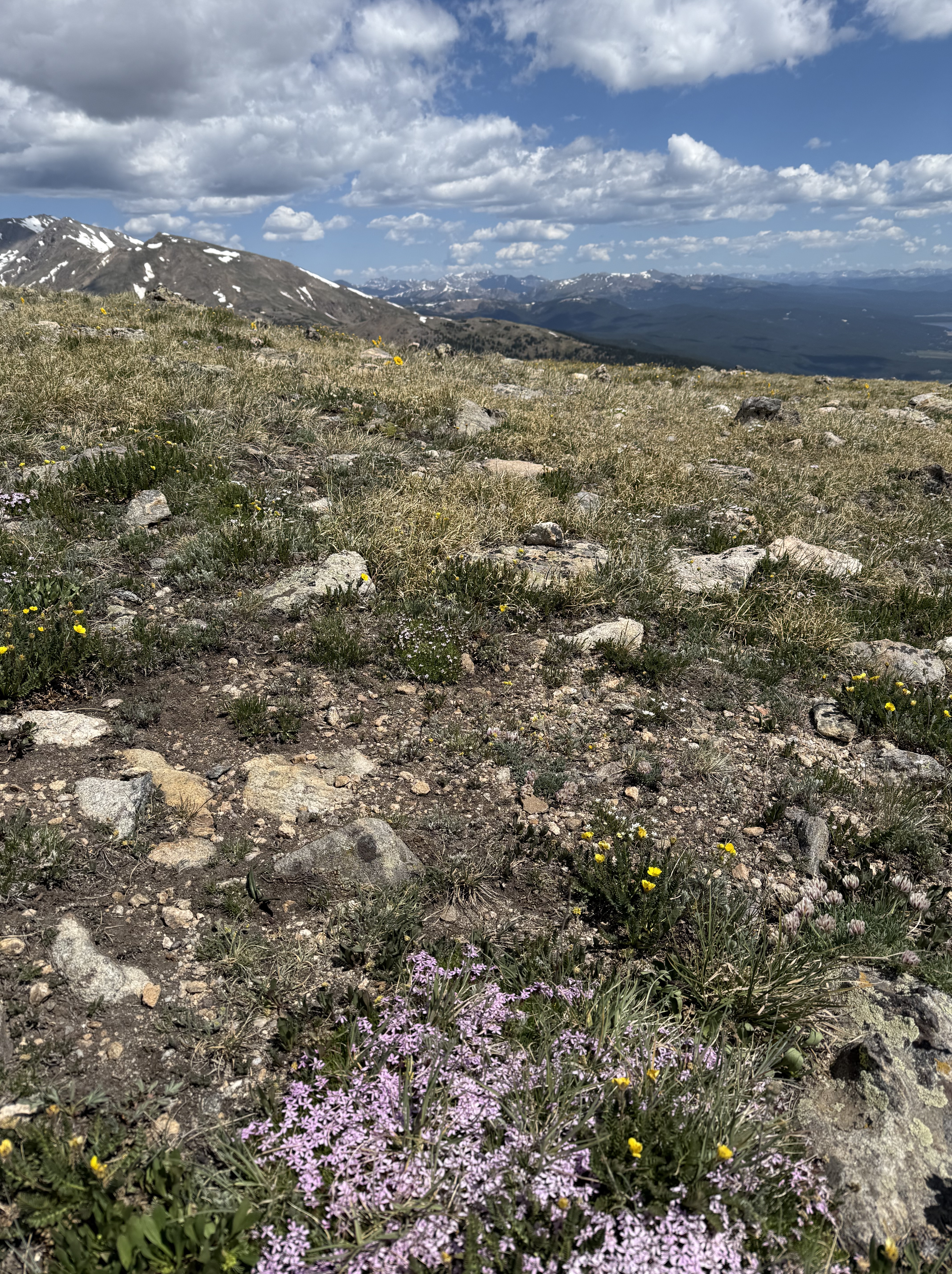
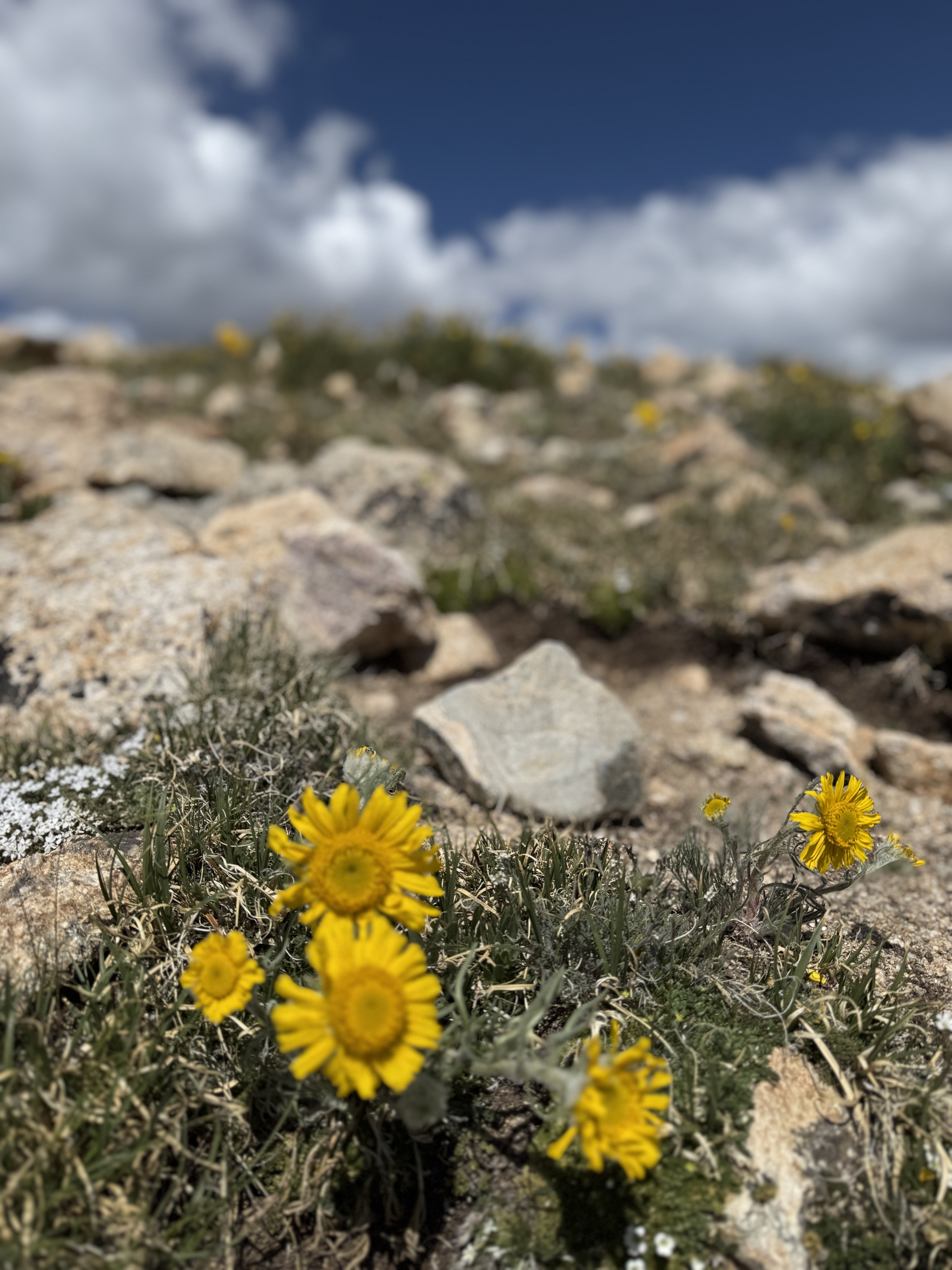
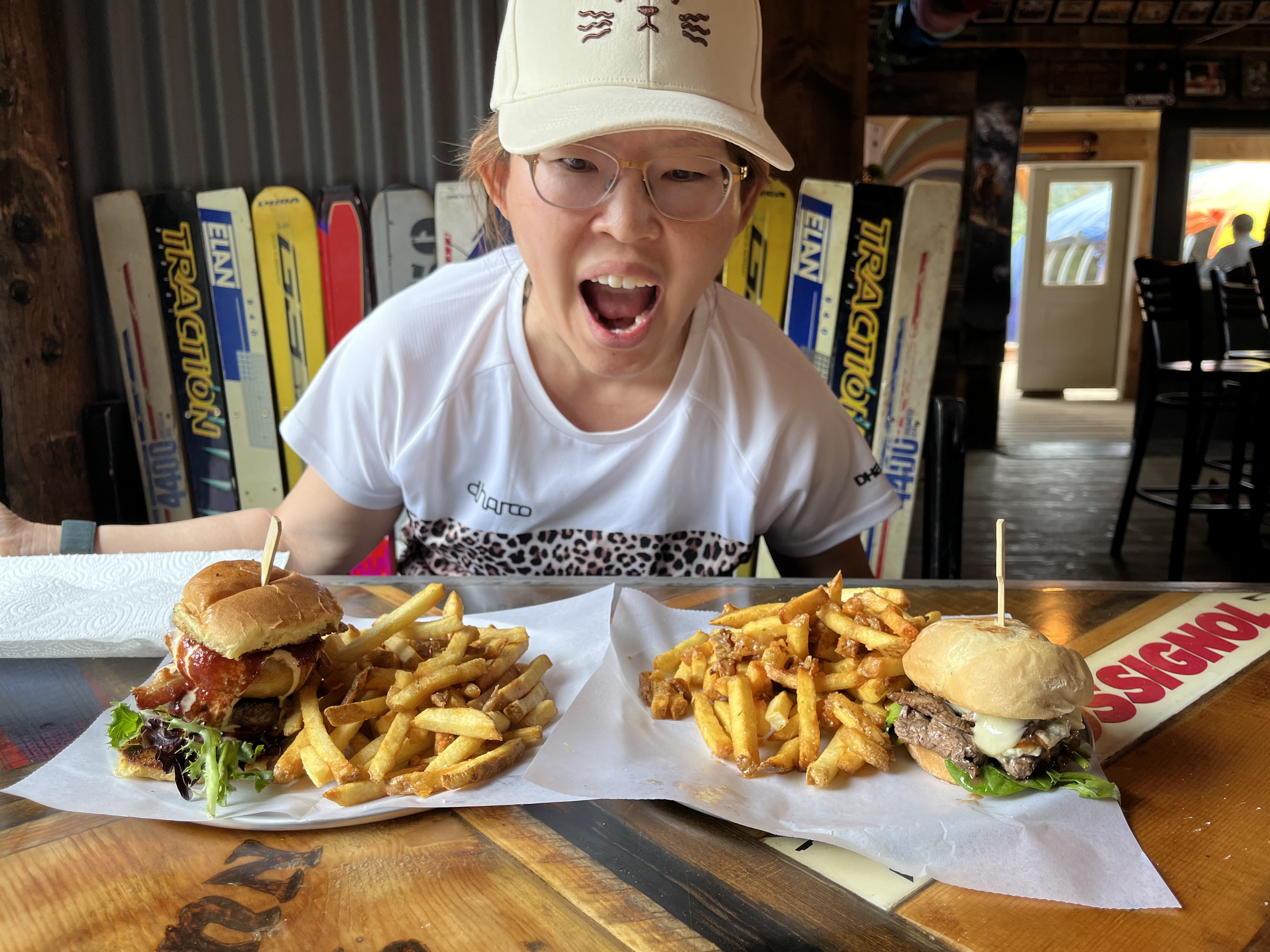
So far, July has been the most memorable month this year in terms of travel and adventure, which is why this post is V E R Y long! I’ll talk about 2 trips in this blog: Colorado and Angelfire. First, my SAT (self-appointed trainer, a.k.a. “The Husband”) and I did our annual week-long Colorado trip at the beginning of the month. Unlike last year, this year, we headed up to Leadville to try and acclimate to the high altitude in order to hike Mt. Elbert a couple of days later. (Spoiler alert: 2 days is not enough time to fully acclimate to high altitude!) Mt. Elbert is the highest point in the state and is one of the Colorado 14ers (peaks higher than 14,000 ft or 4,267 m). I really wanted to hike Elbert because I missed out on hiking a 14er last summer. I thought hiking up to the highest point in Colorado would make up for NOT hiking any 14ers last year!


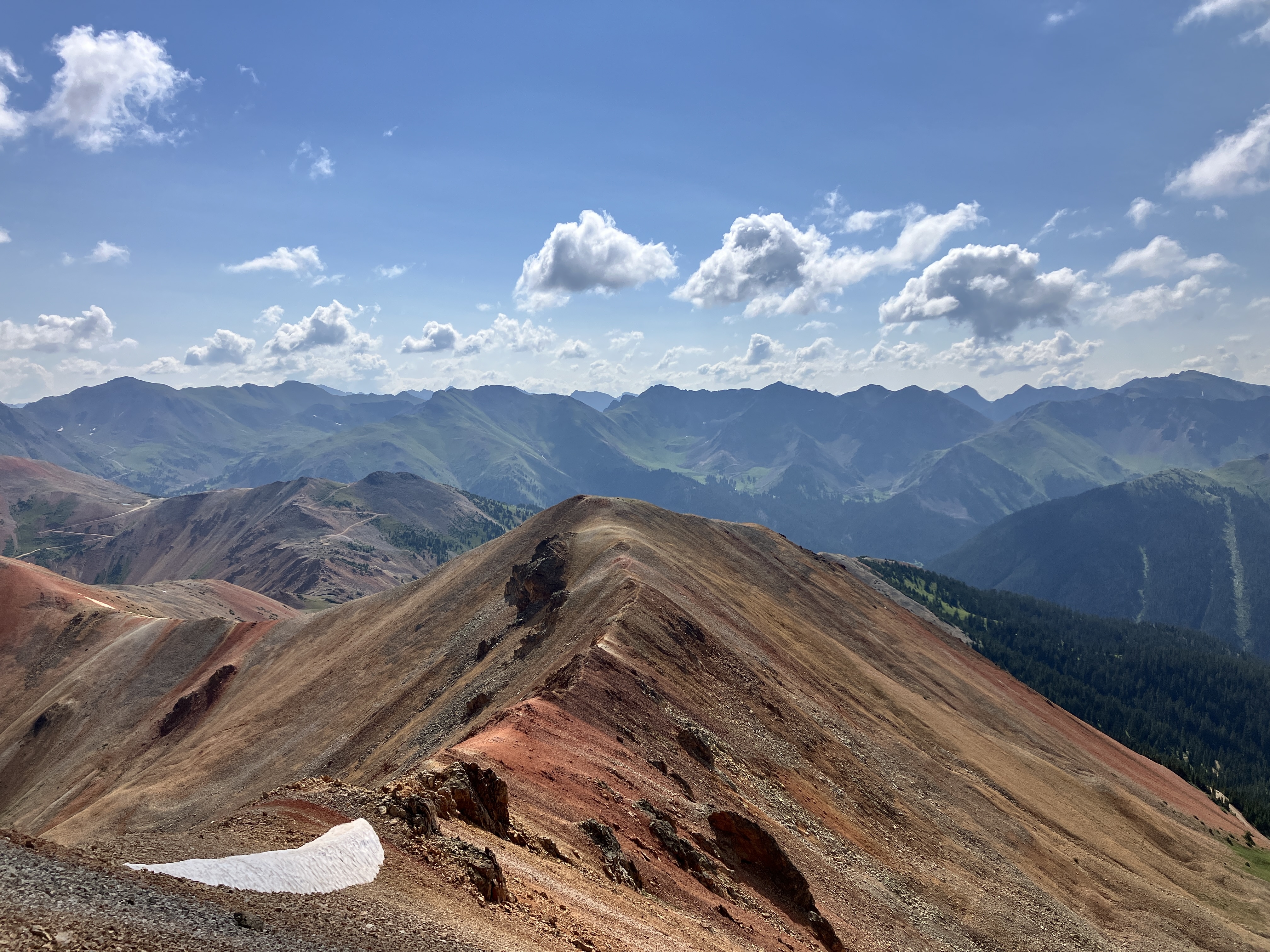
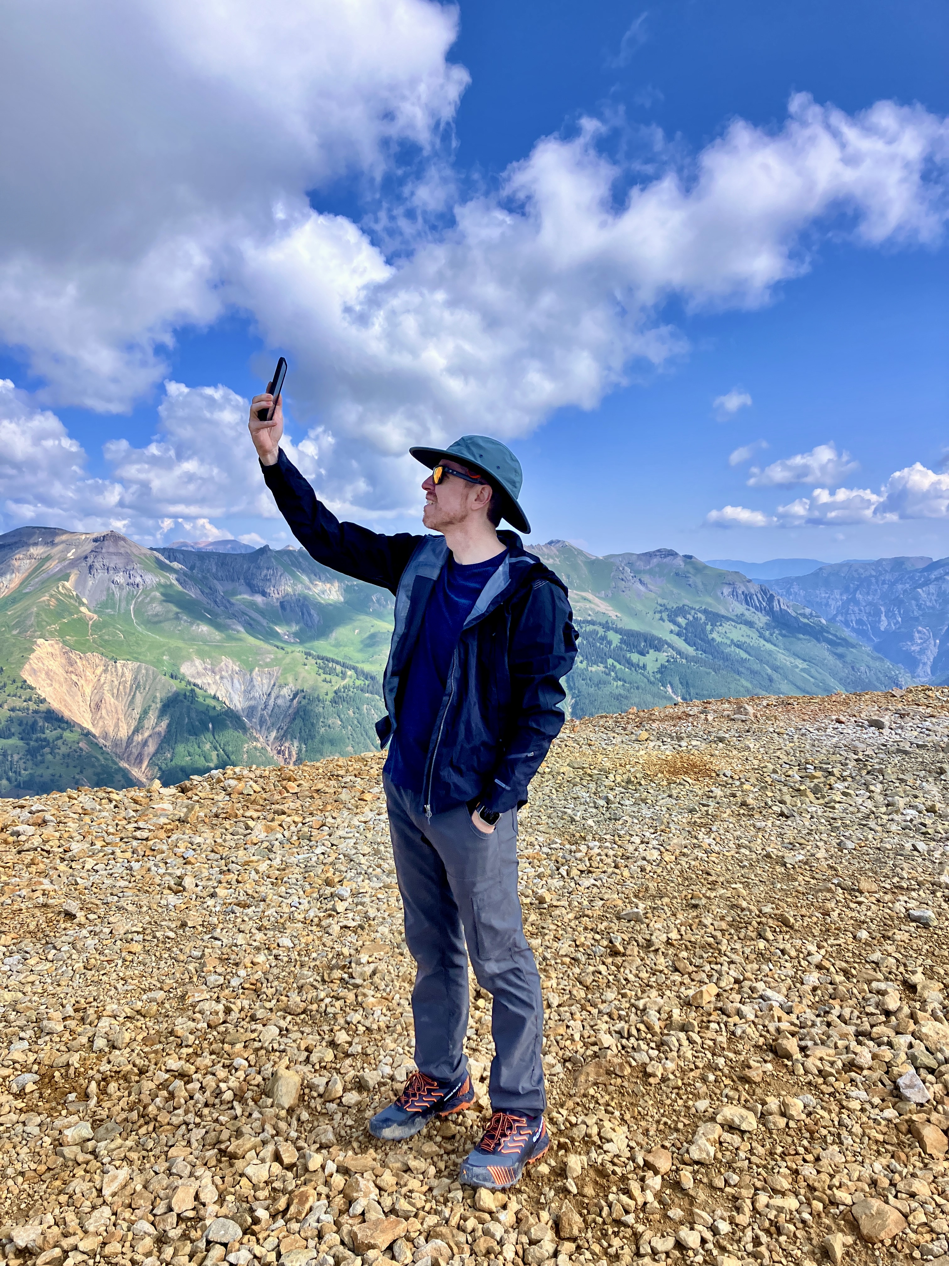
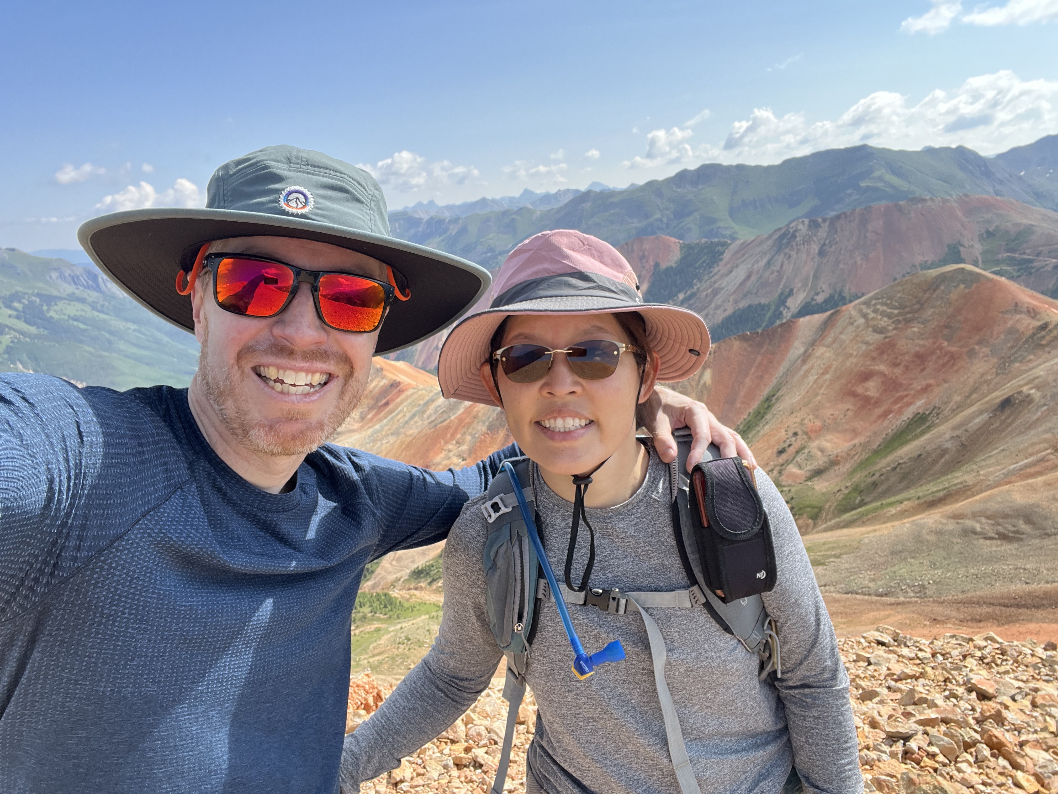
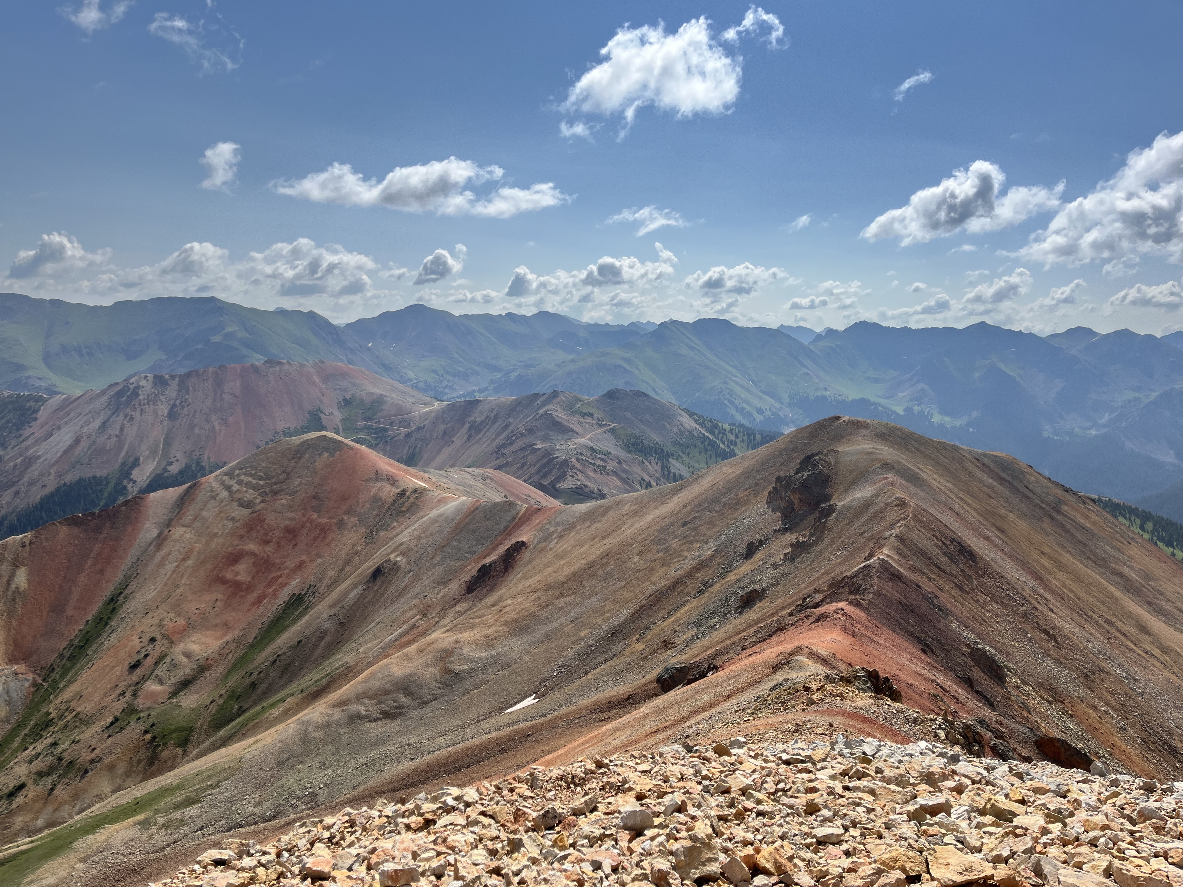
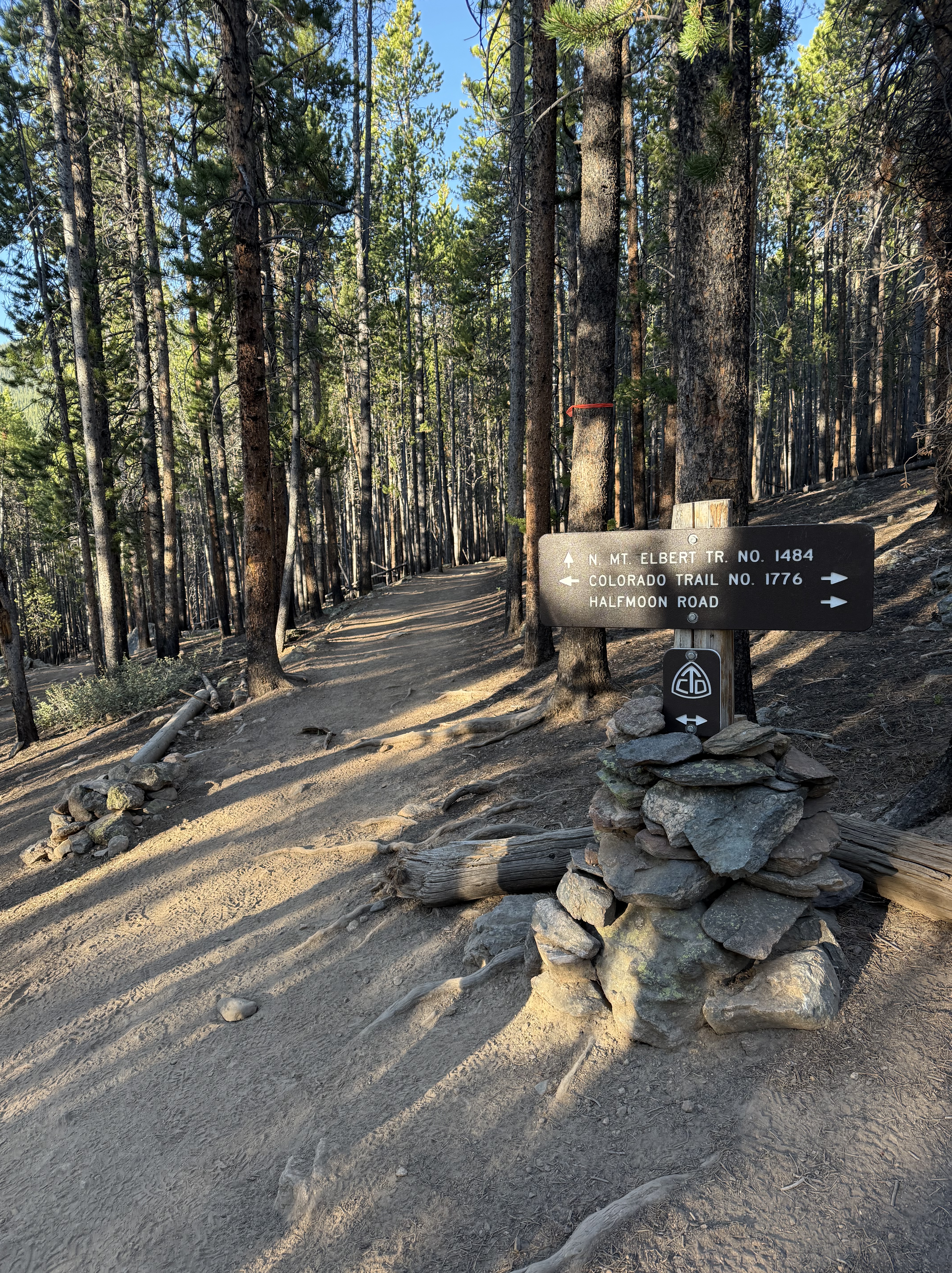
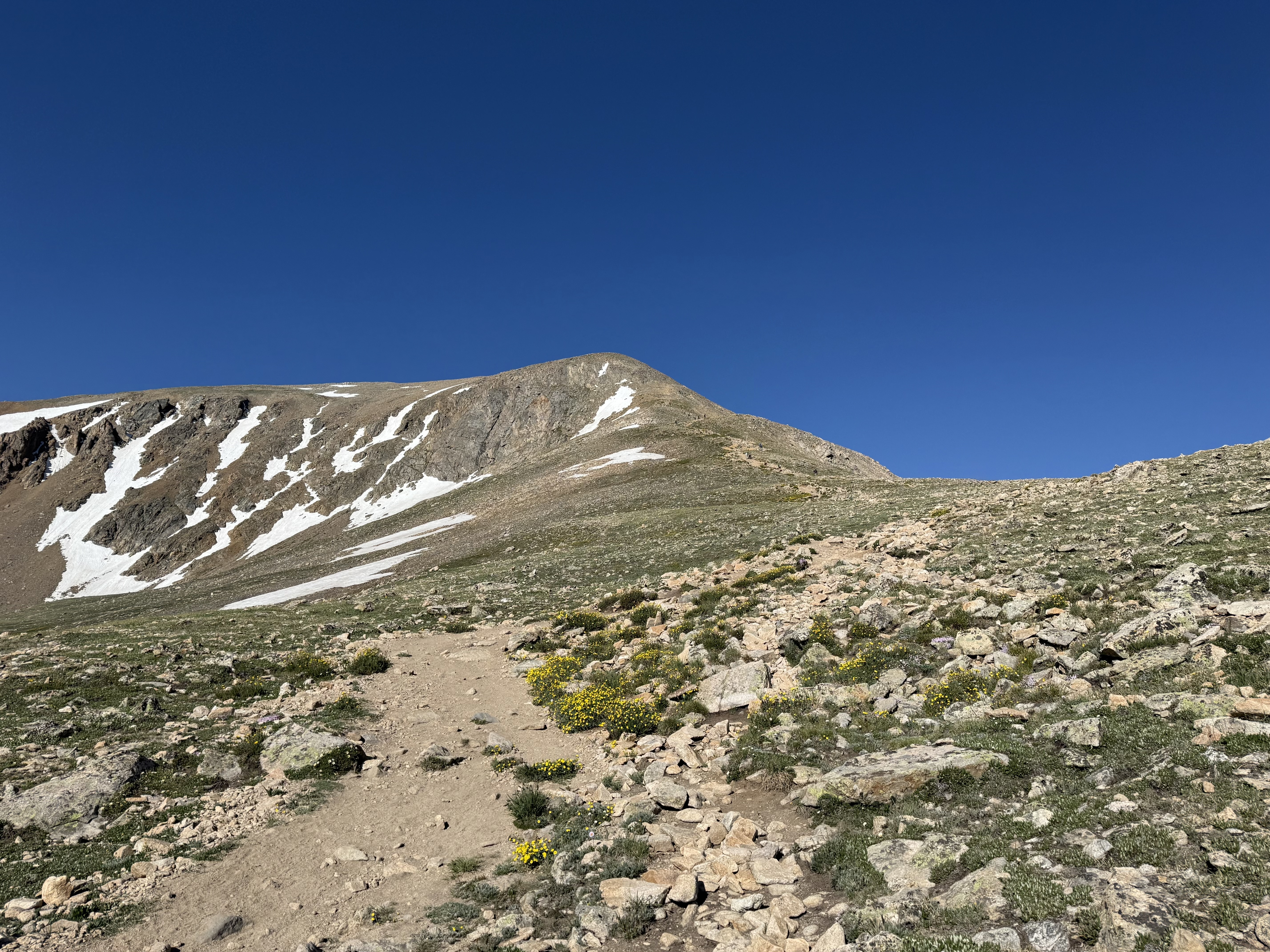
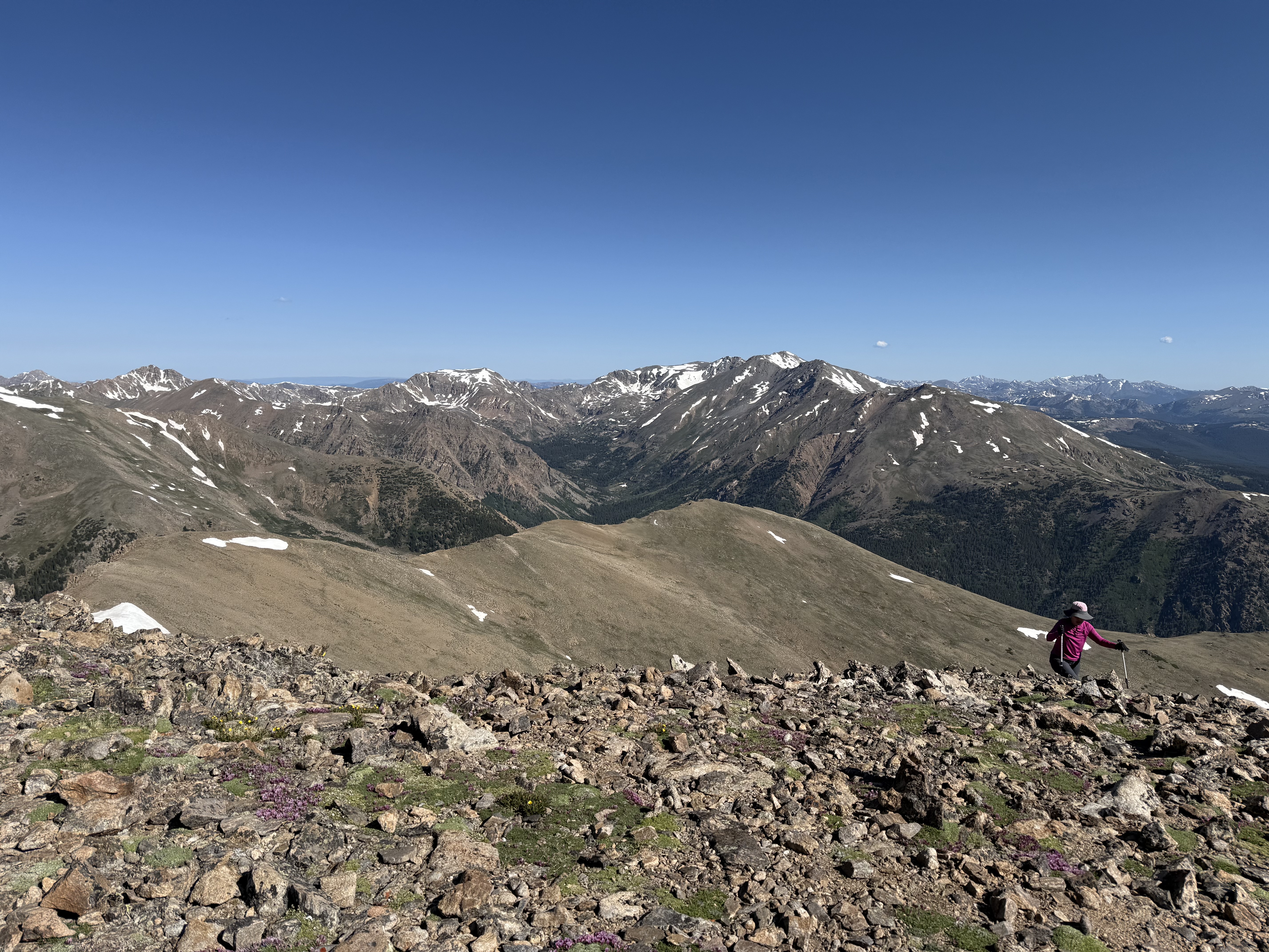
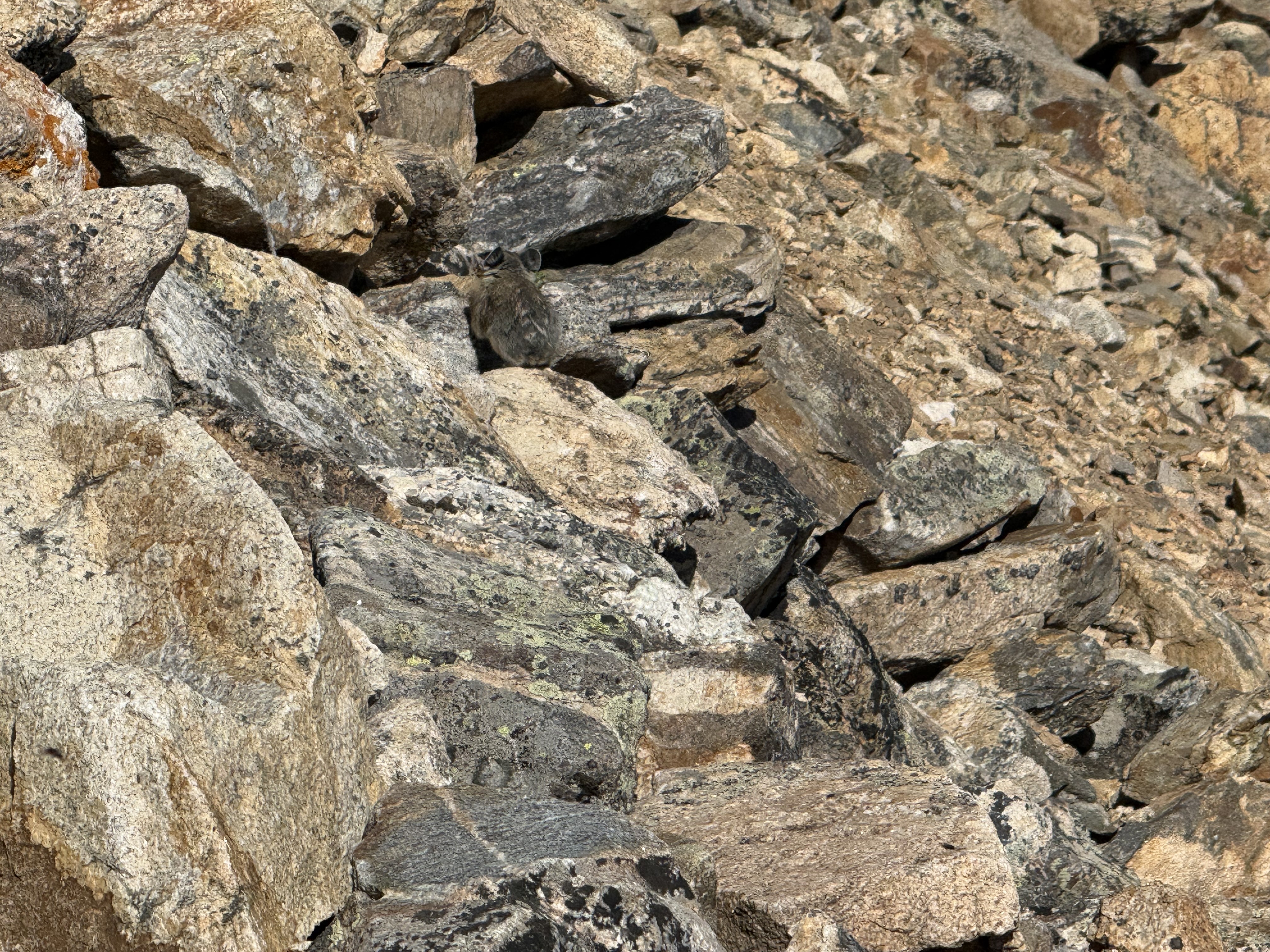
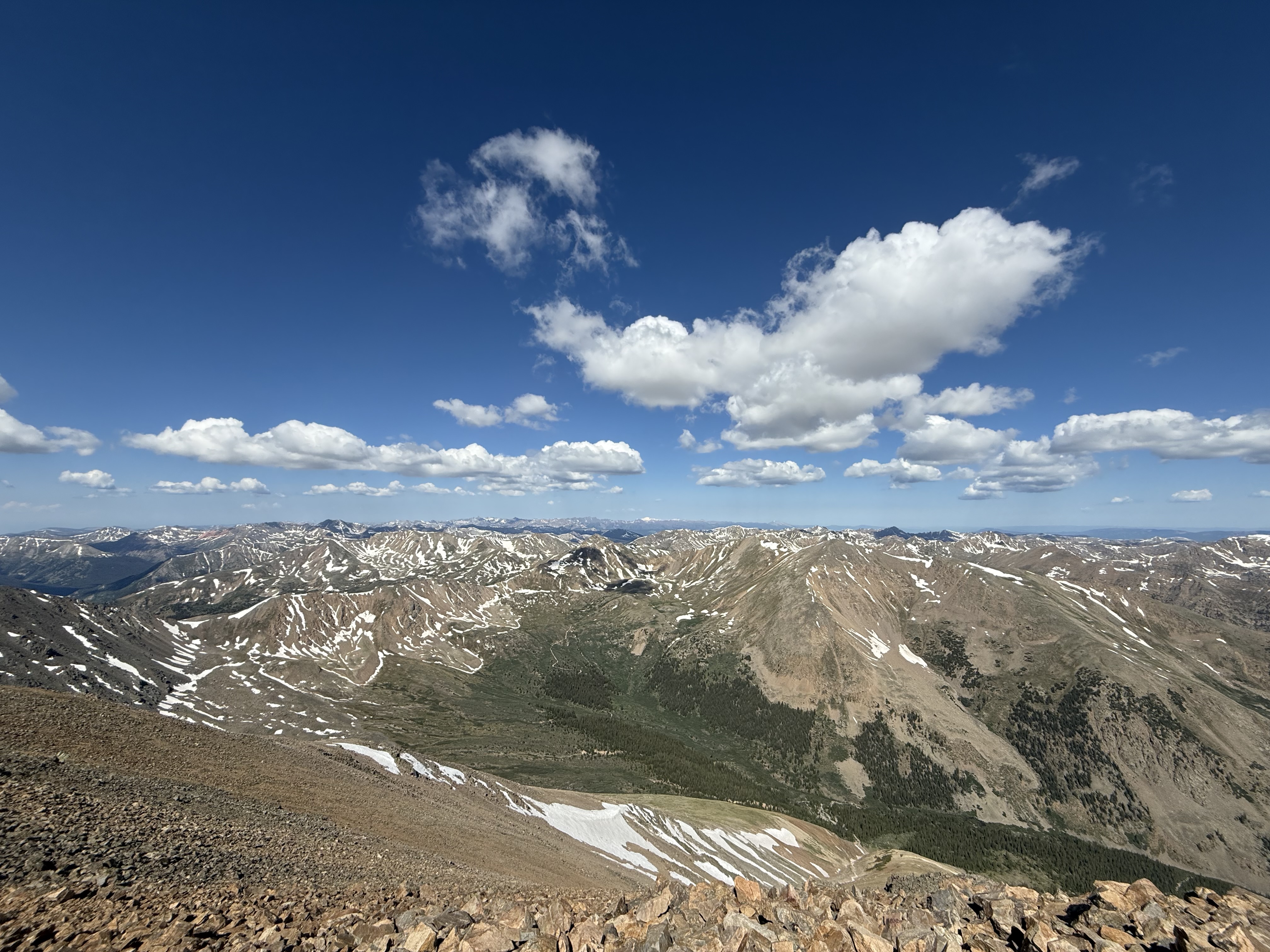
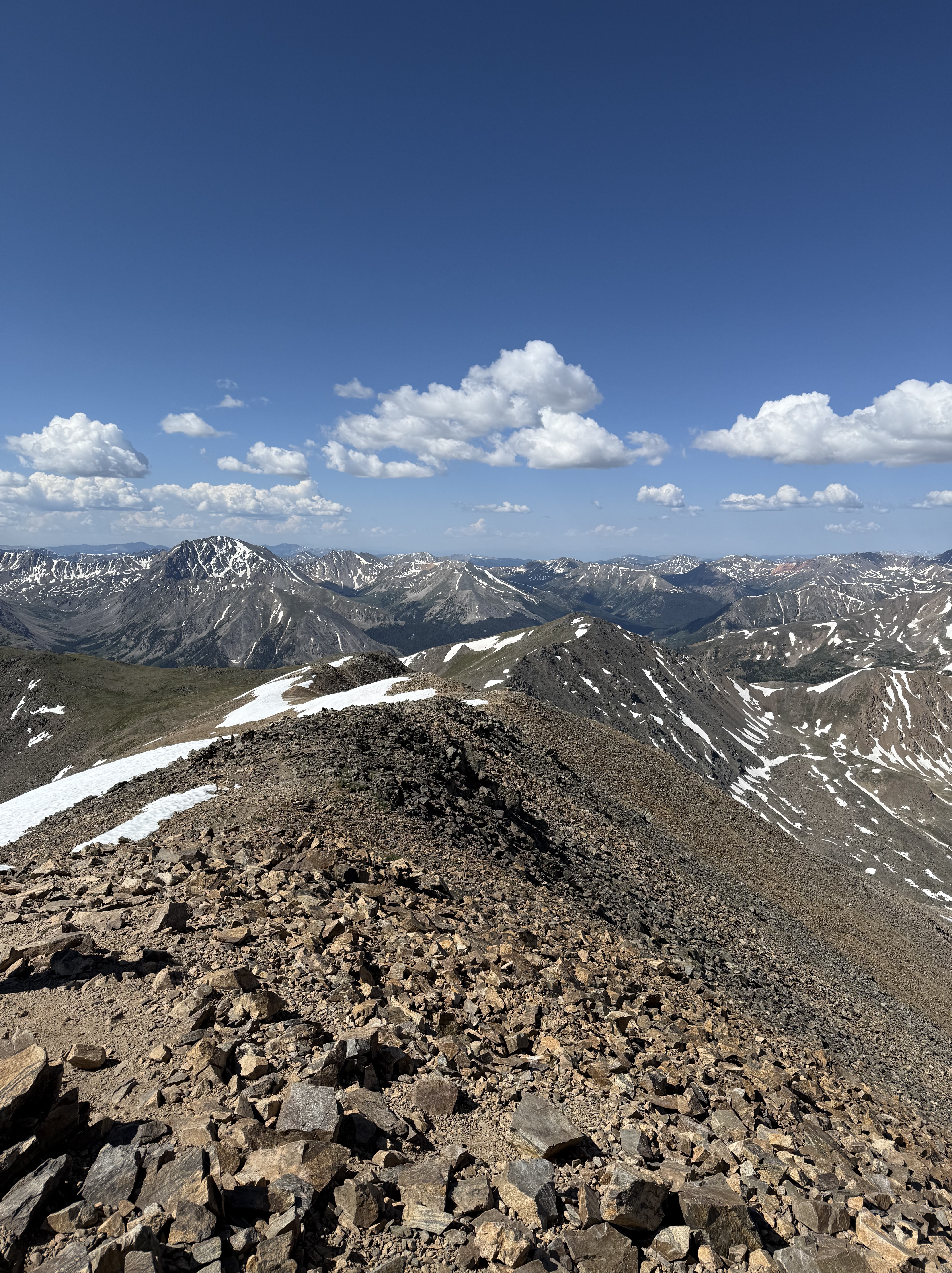
Mt. Elbert is considered one of the “easier” 14ers to hike because there is a well-defined trail all the way to the top. However, it is not easy because you are hiking at high altitude, which affects your breathing. My SAT and I didn’t do too badly; our plan was to hike continuously (and slowly), stop for brief breaks every 45 minutes, and take in the amazing views. According to my Apple Watch, we hiked almost 10 miles (16 km) and gained 4,600 ft (1,400 m) in elevation in just under 6 hours. Not bad! The weather was beautiful and we only started to see storm clouds at the very end of the hike.


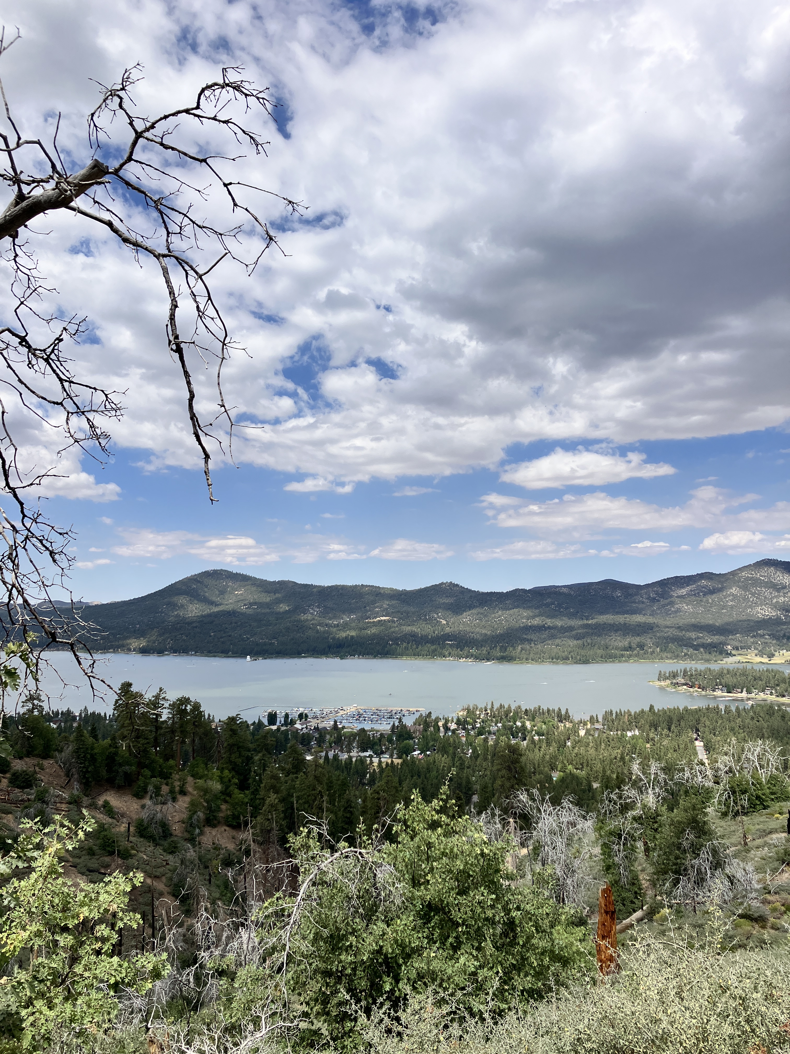
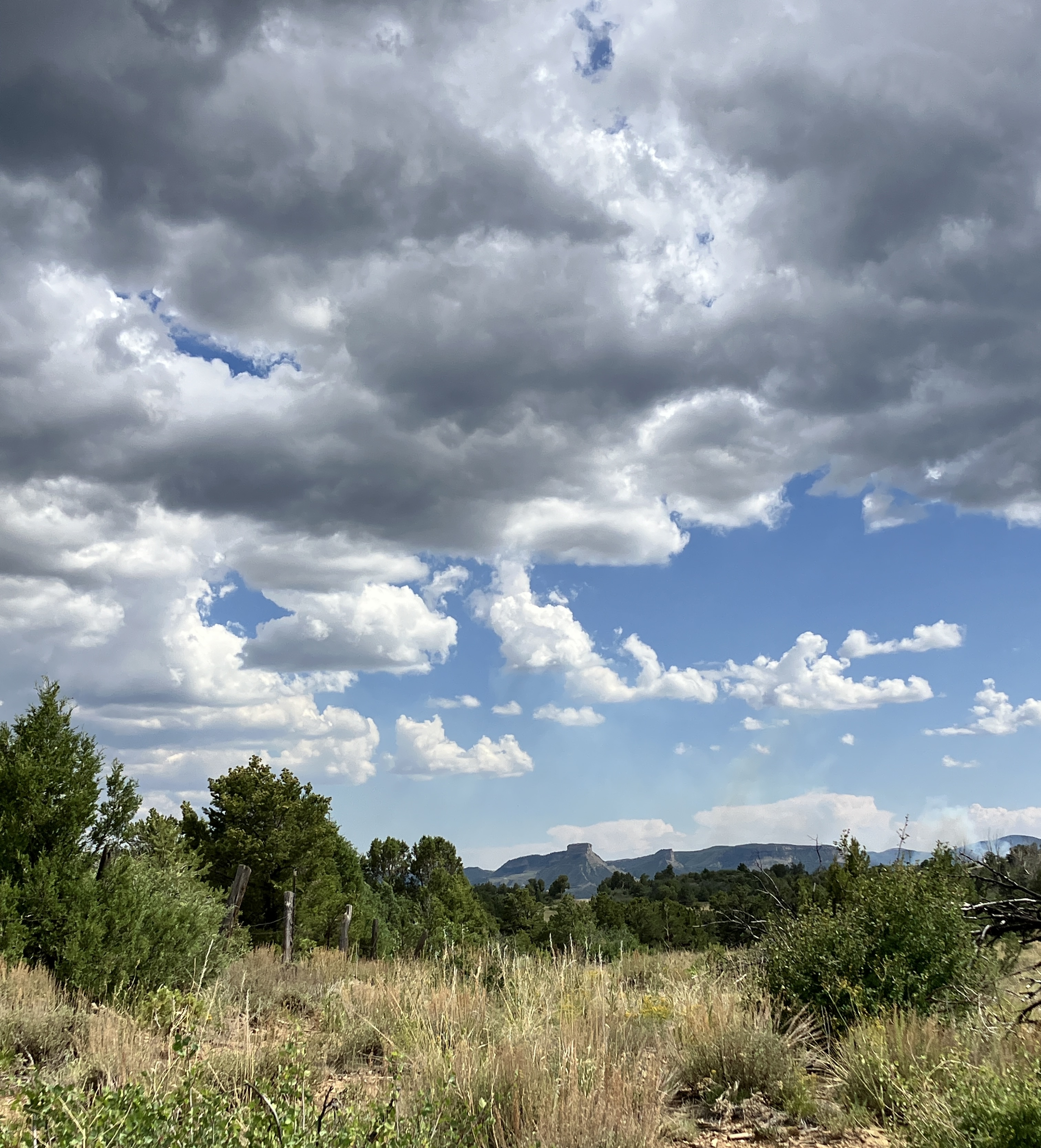
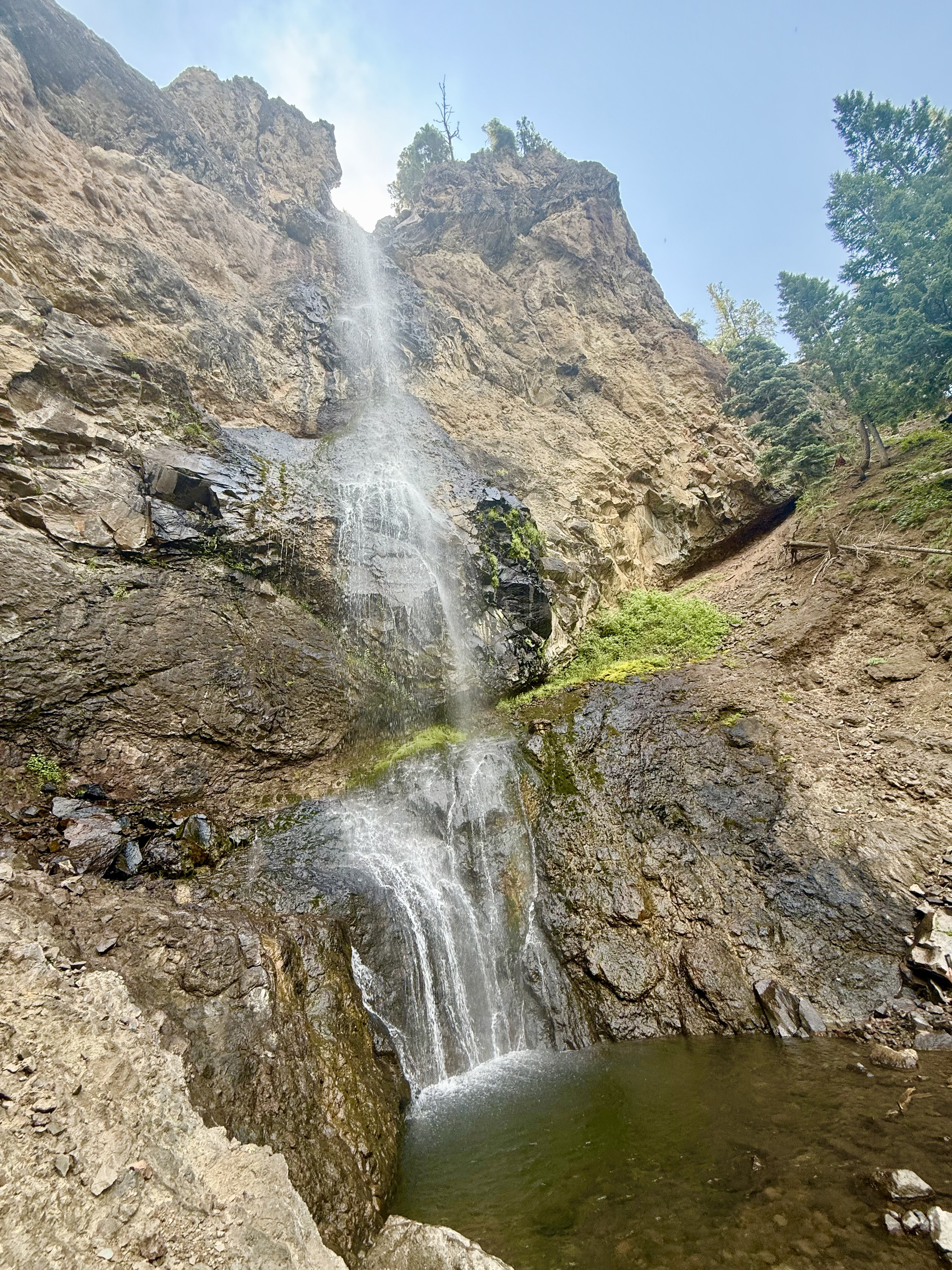
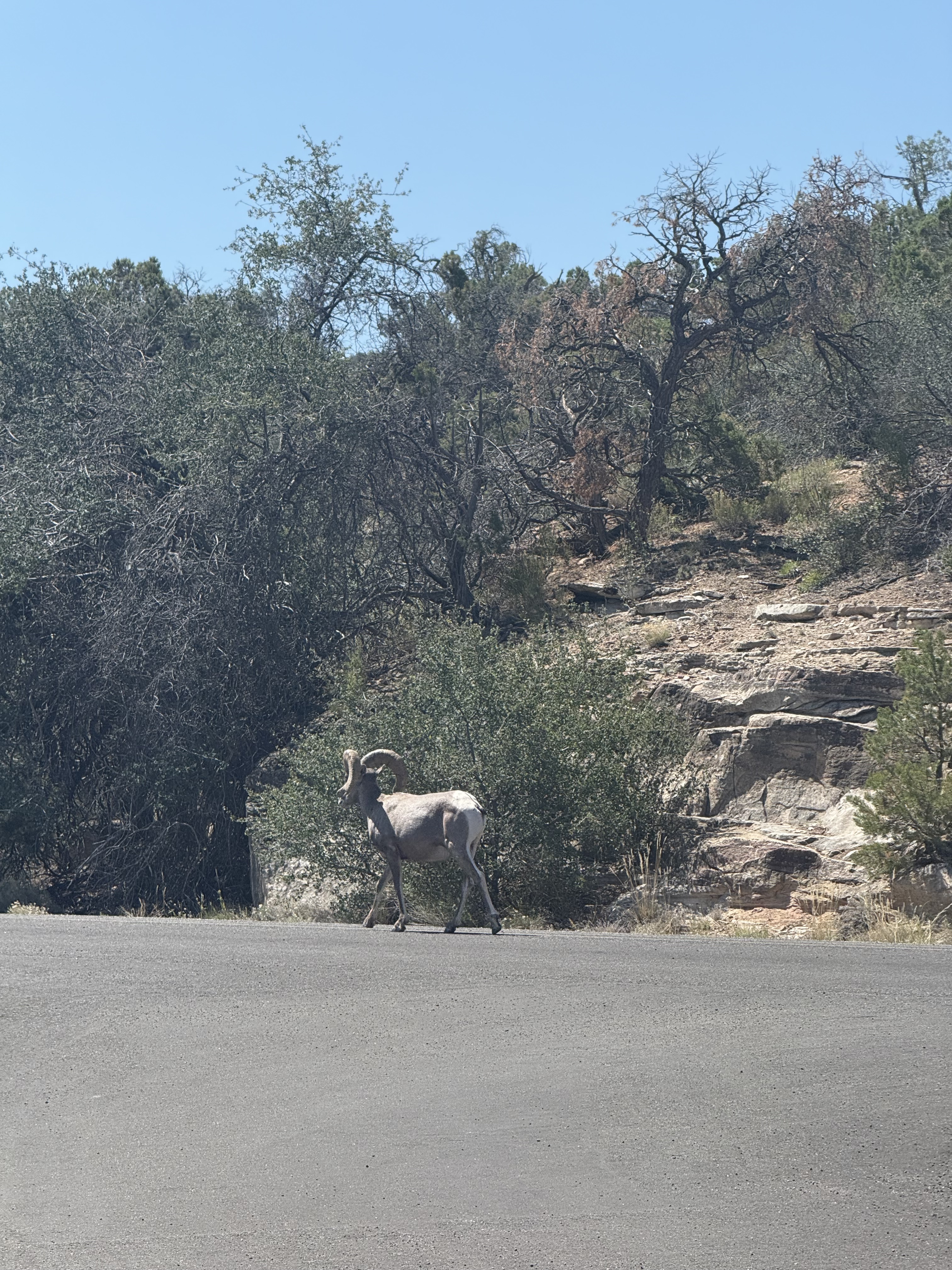
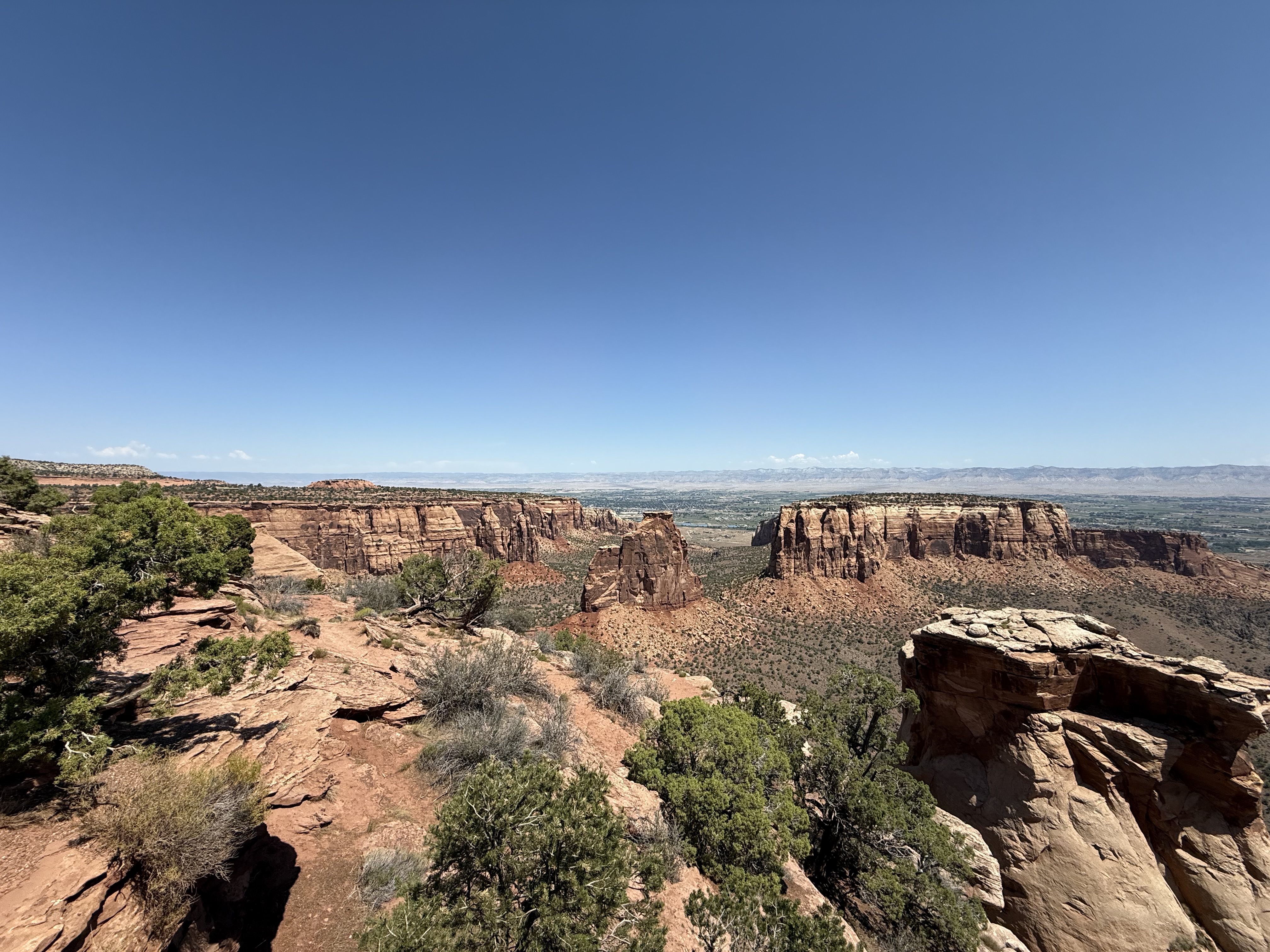
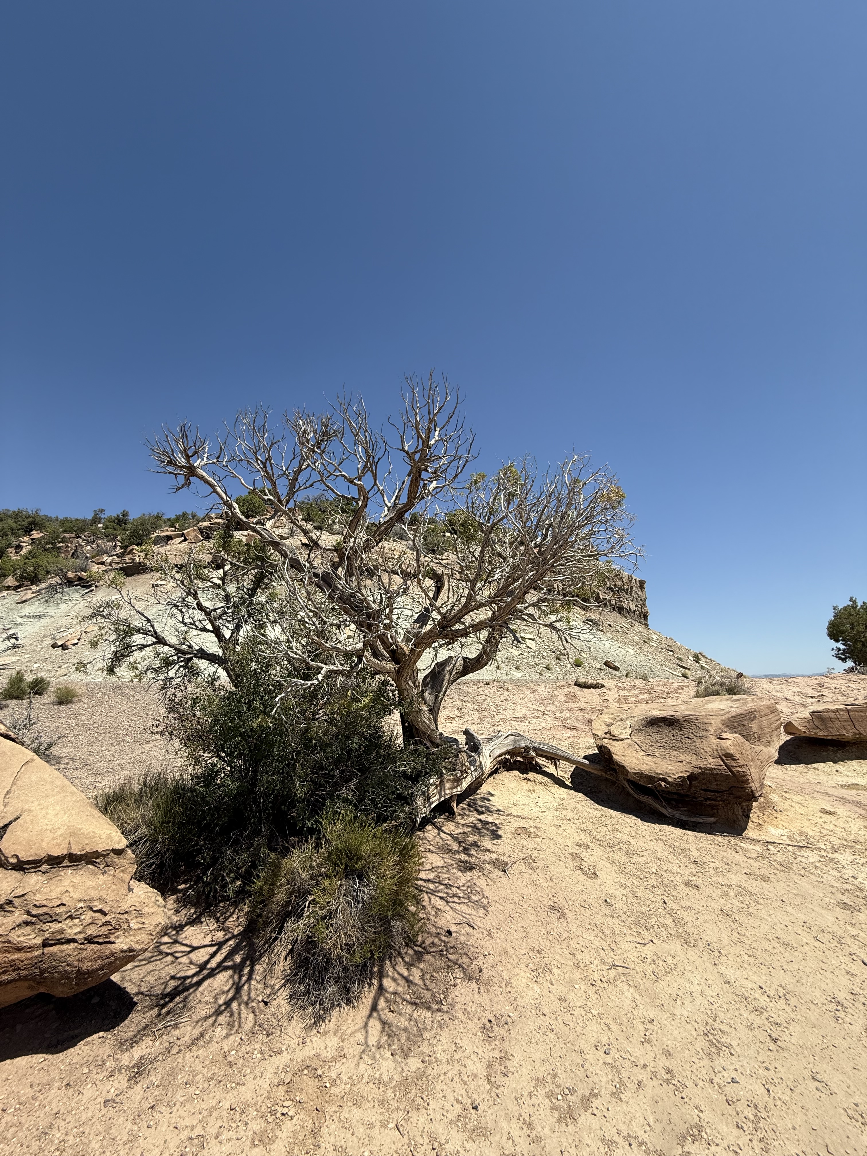
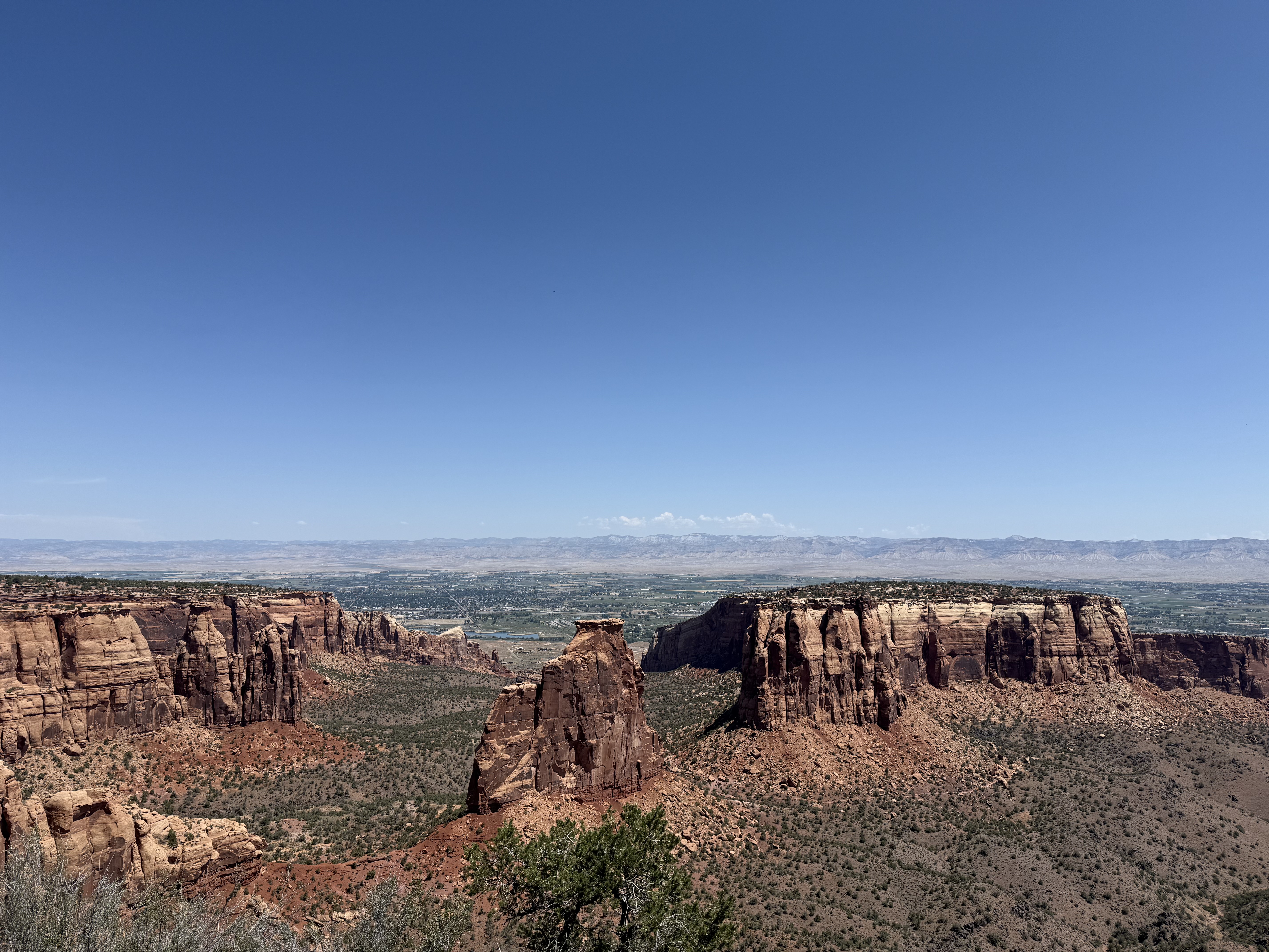
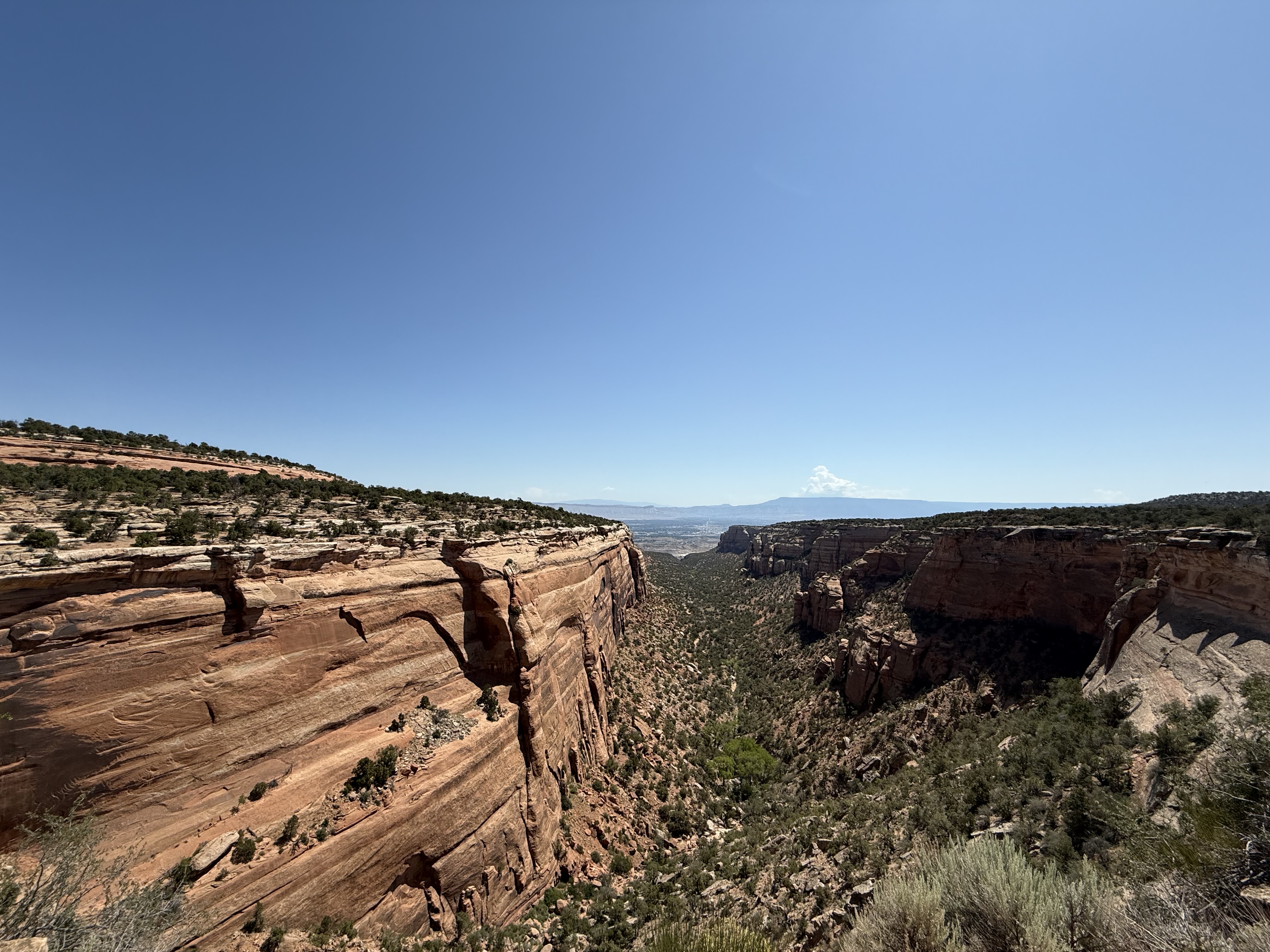
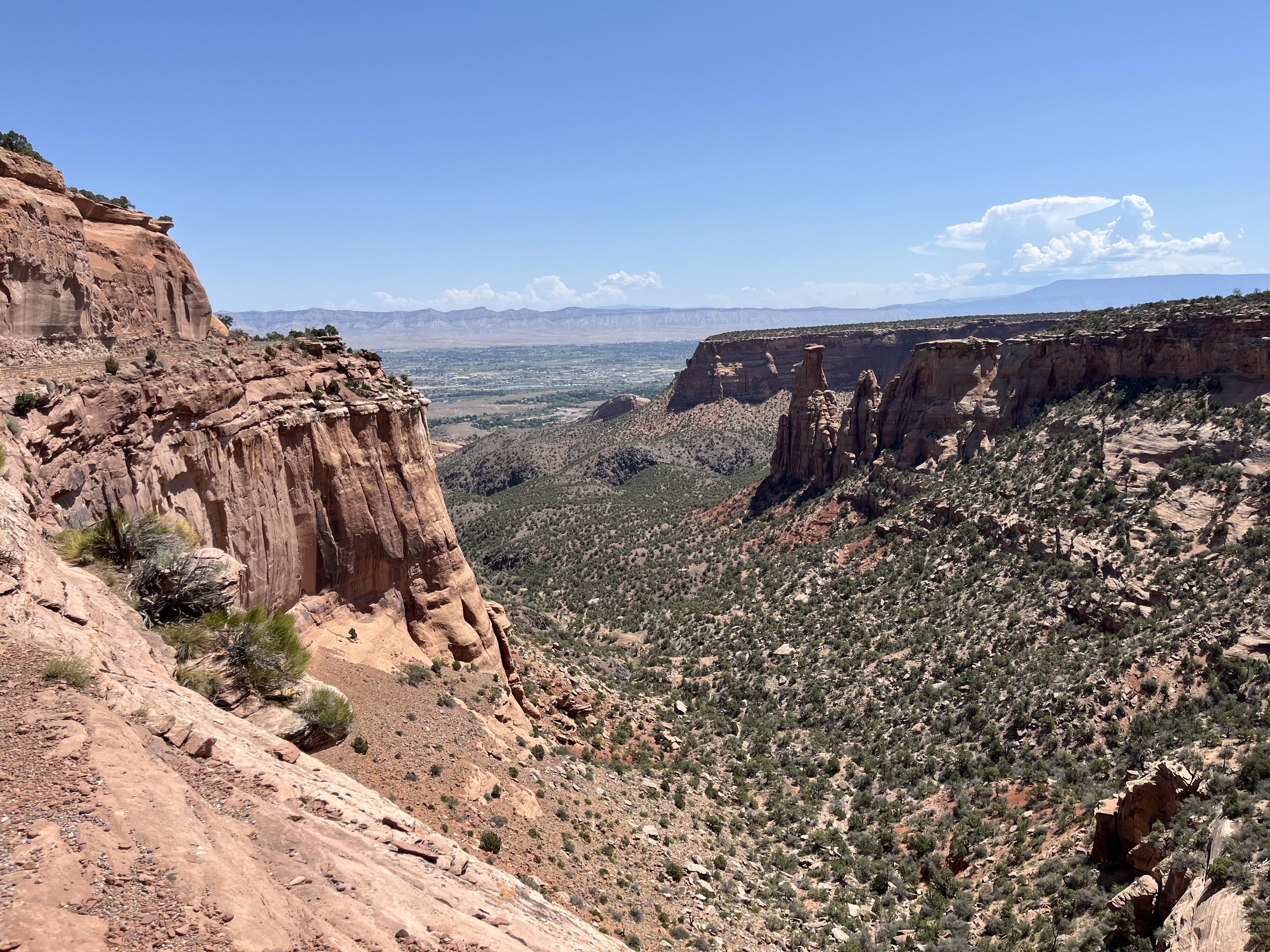
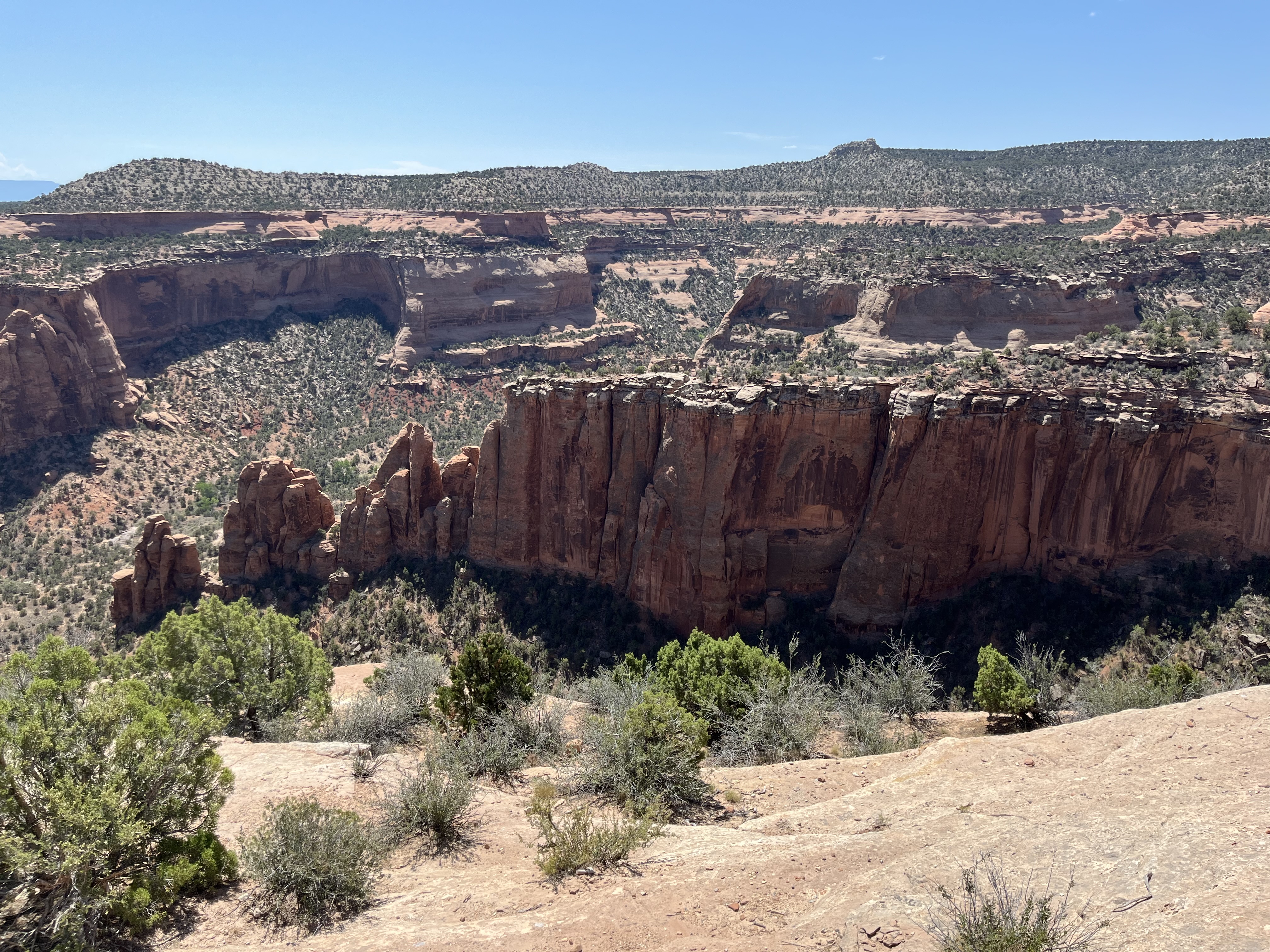
The next day, we drove over to Grand Junction and stopped at the Colorado National Monument. This national site is a beautiful area boasting monoliths (upright stone structures), red rock, canyons, and panoramic vistas. I kept on thinking that the CNM is a blend of the Grand Canyon, Red Rock Canyon in Las Vegas, NV, and Moab, UT. We drove the 23 mile scenic drive and enjoyed seeing the changing landscape. We also saw a big-horned sheep! So cool. If we had more time, we would have done a hike or two….perhaps next time.


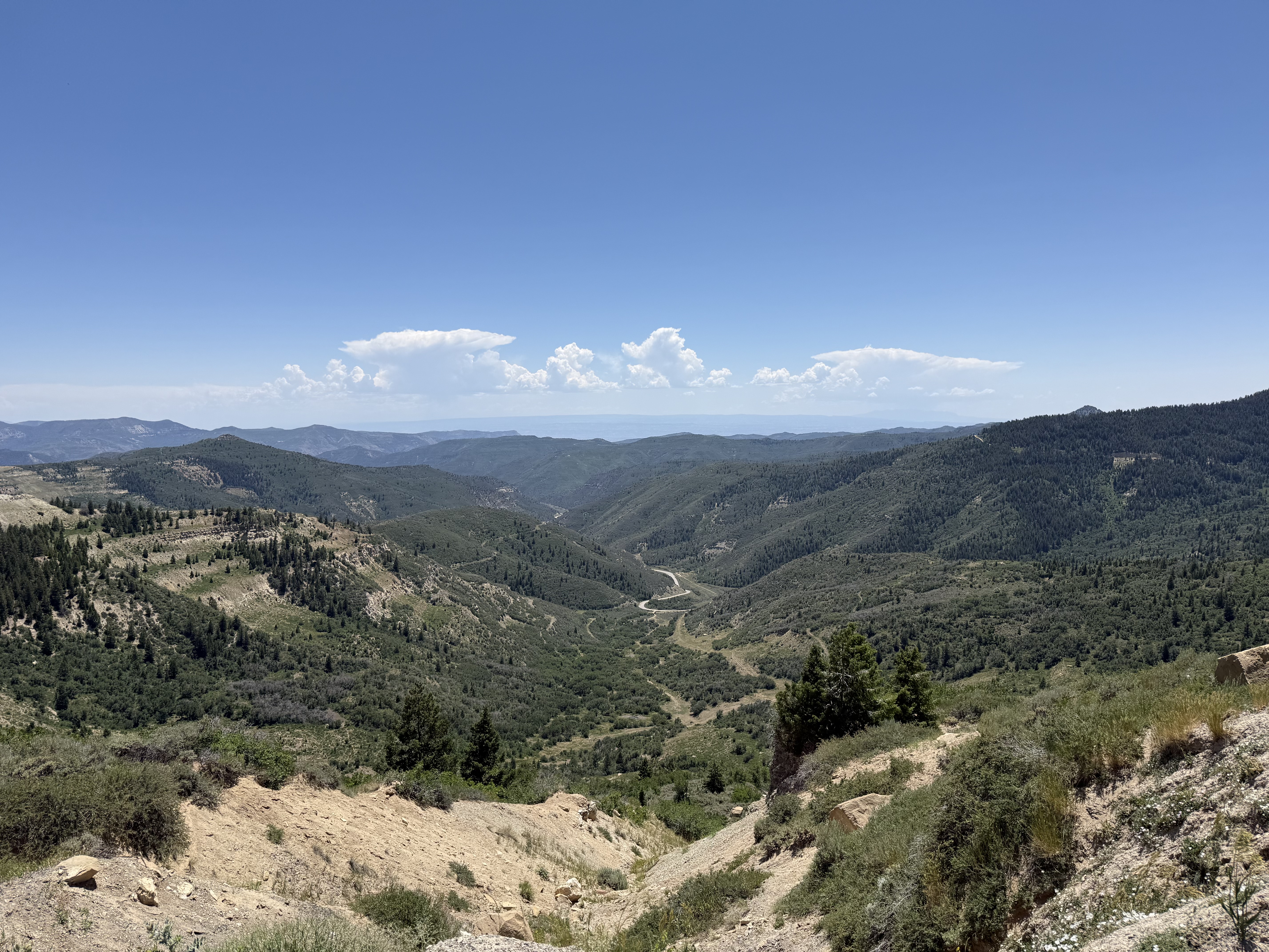
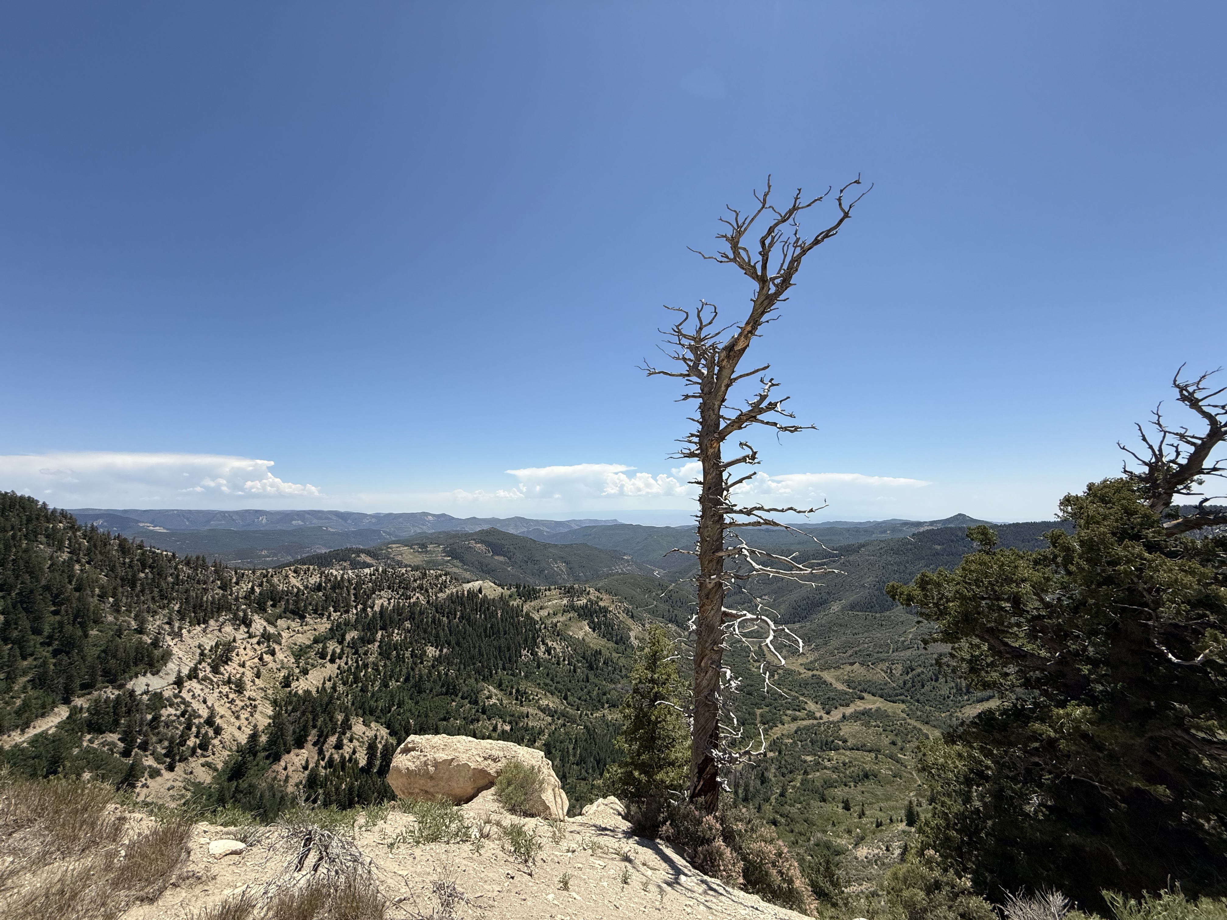
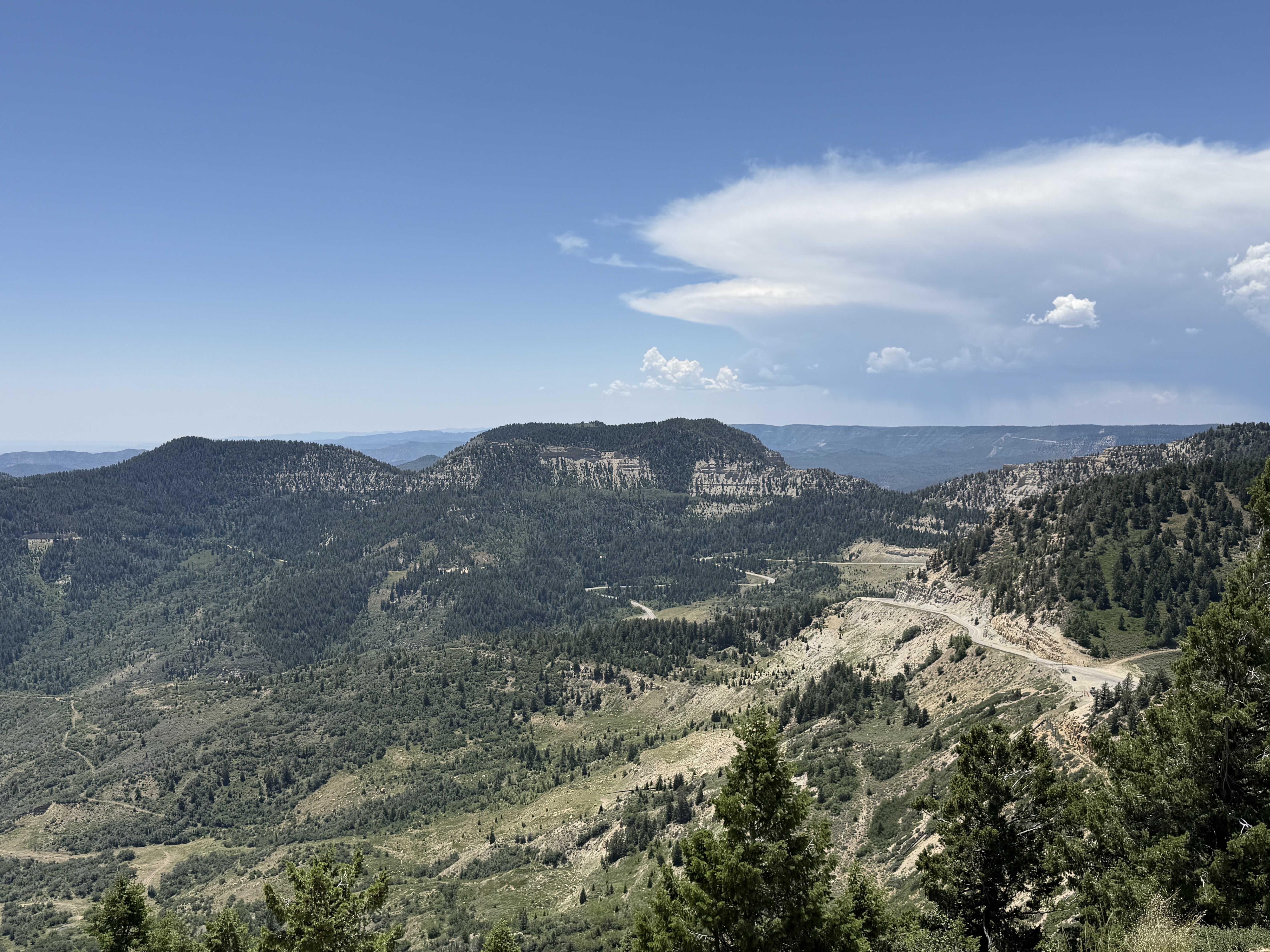
When we finished the scenic drive, my SAT was REALLY curious about what the other side of the valley was like. So….we drove across the valley to what I learned later is the Douglas Pass viewpoint. We drove along highway 139 from Loma towards Rangely. The road got pretty steep and twisty in some parts, but was otherwise smooth. The views from the top of the pass are also pretty wonderful.


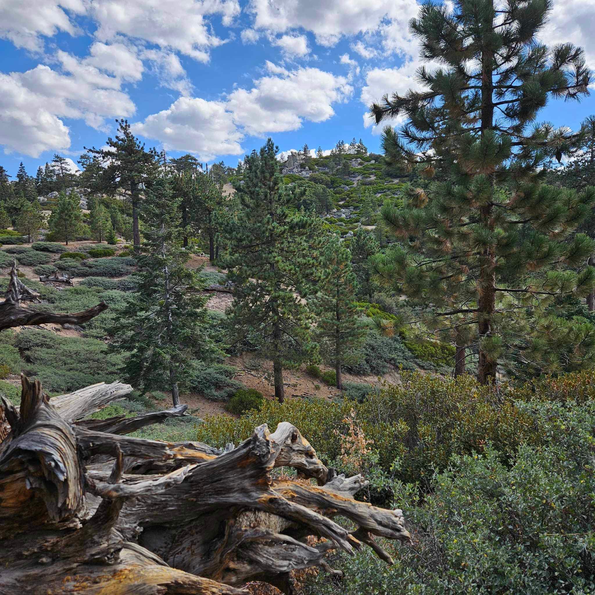
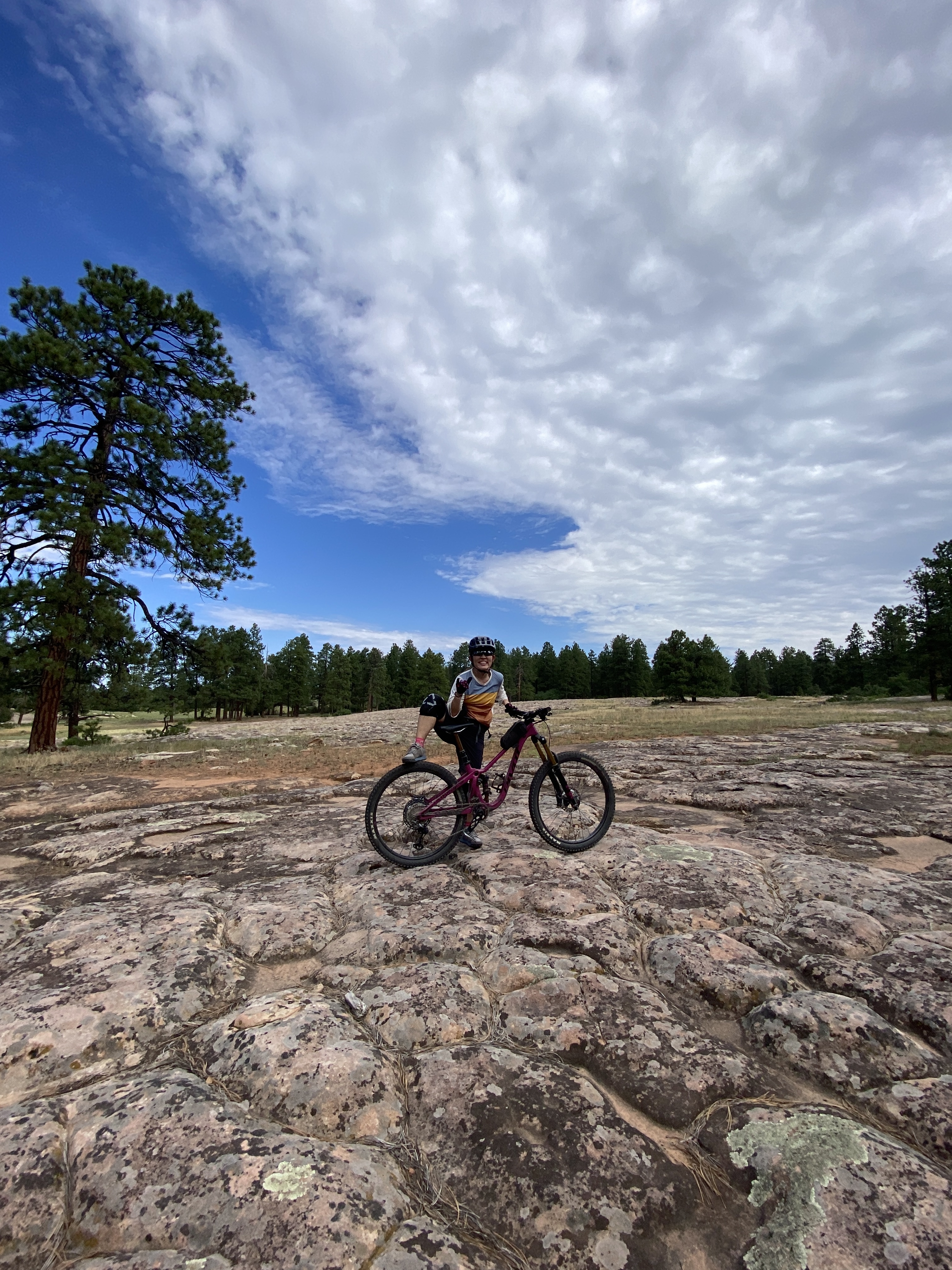
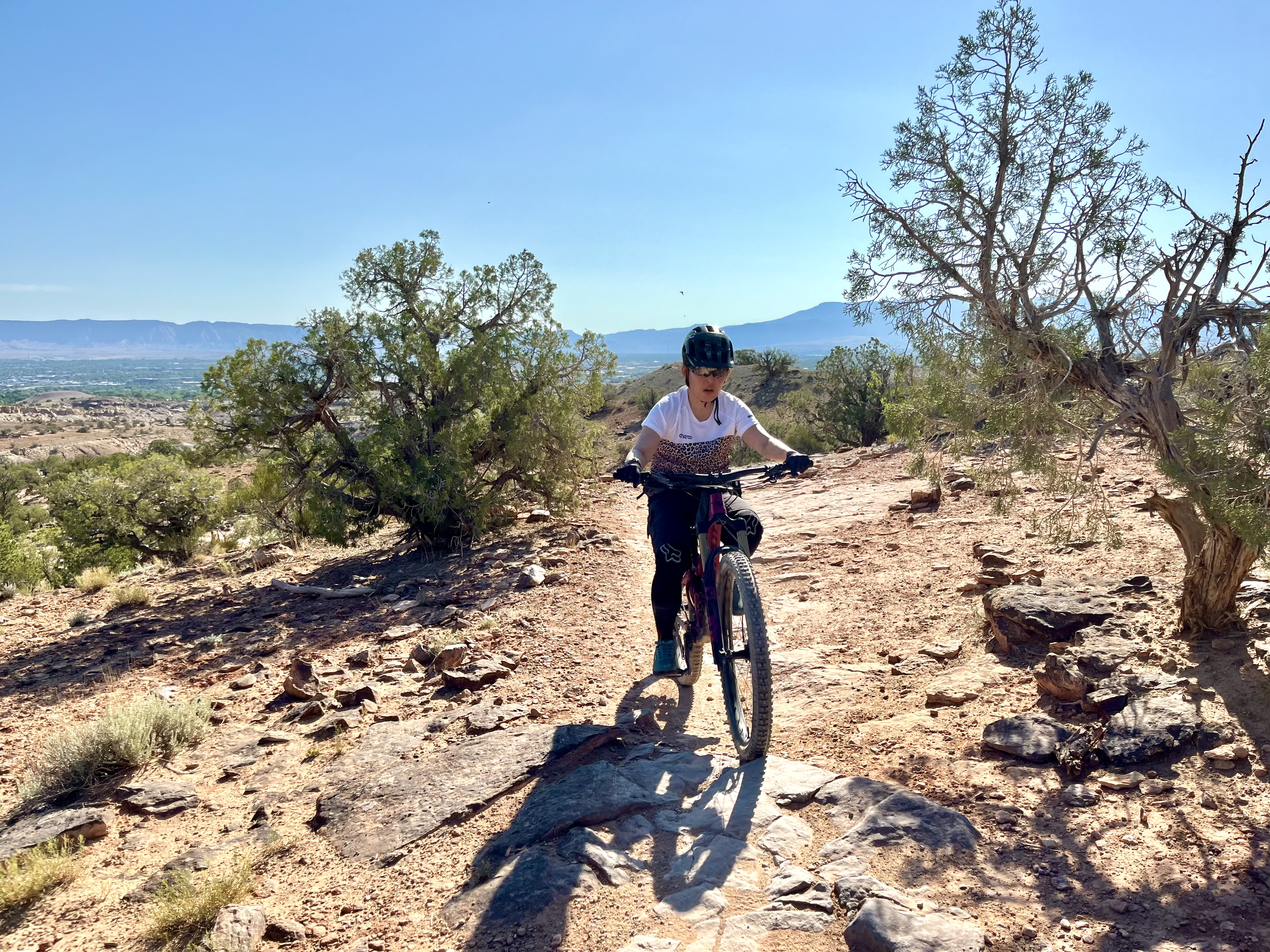
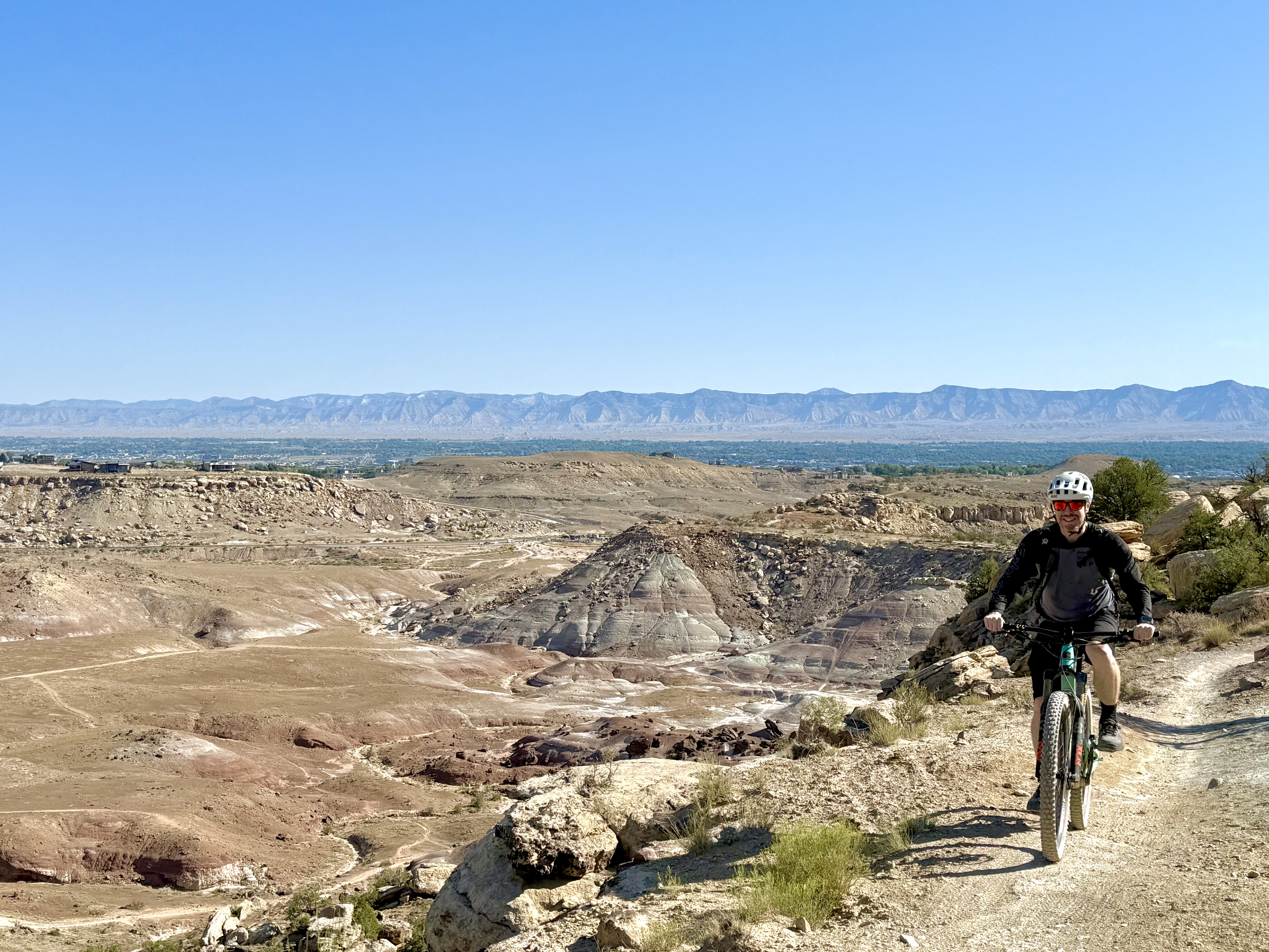
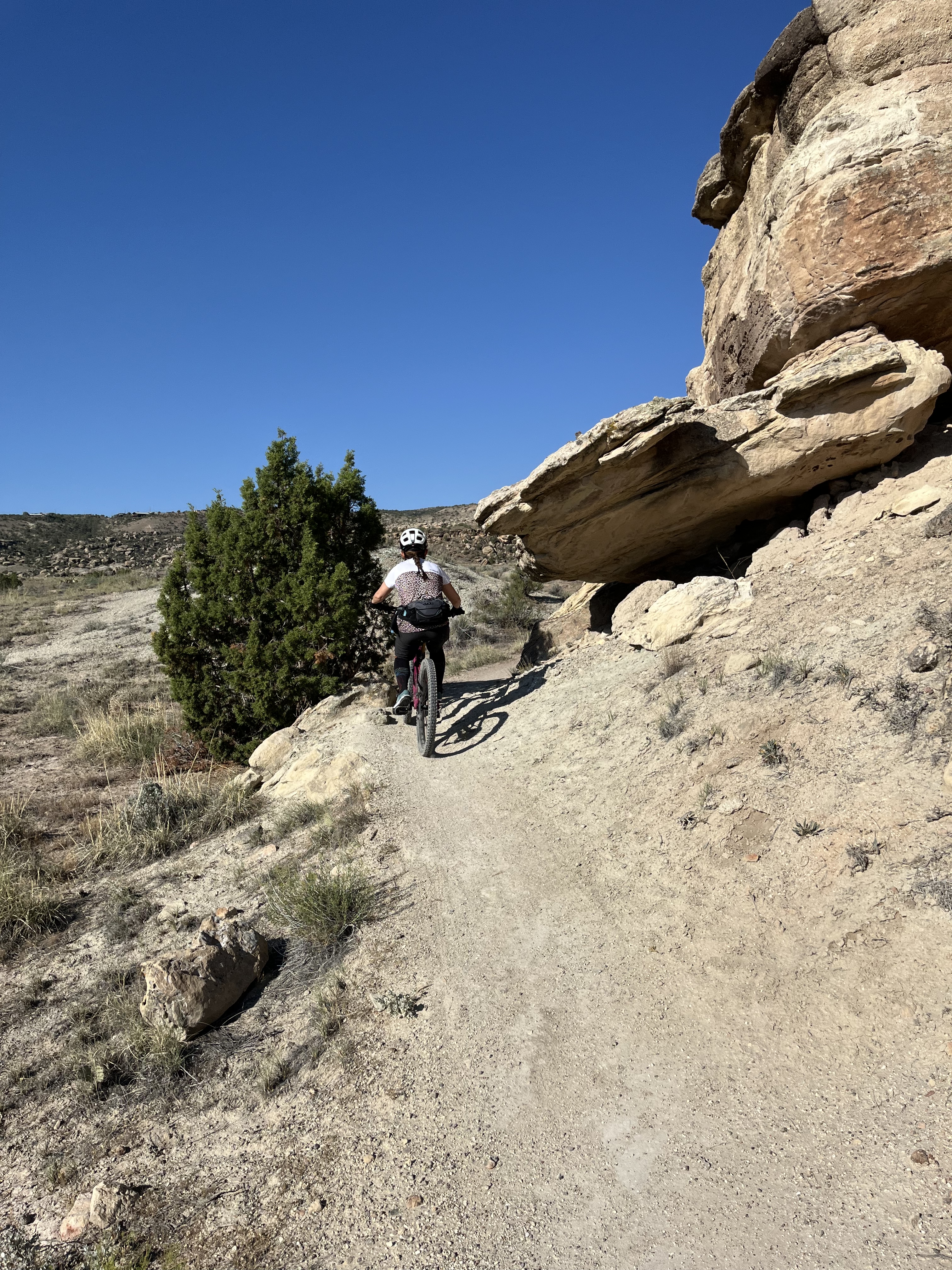
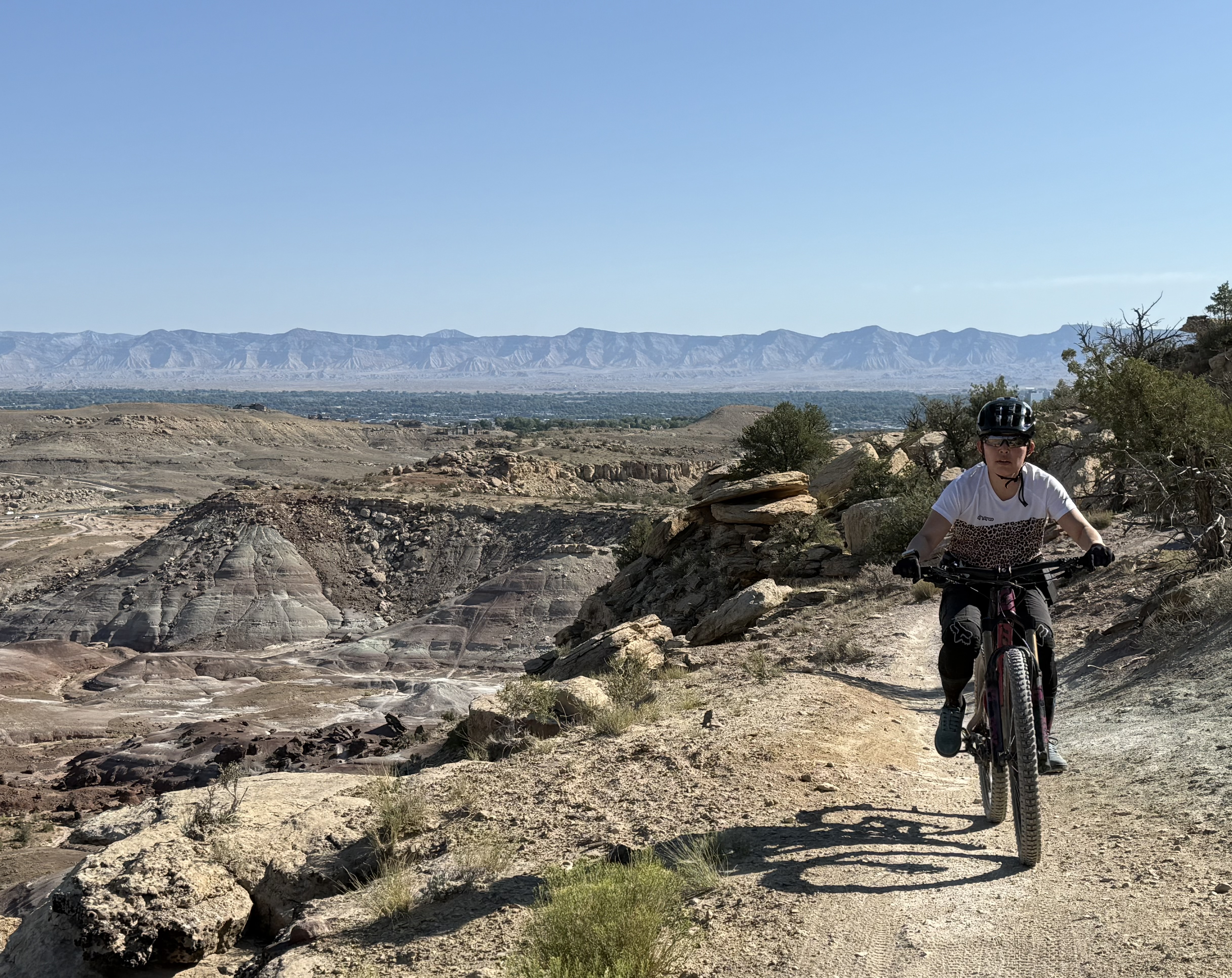
The next morning, we did a mountain bike ride in Grand Junction. This place is a very mountain bike friendly town! There are tons of trails and what we rode is but a tiny fraction of what the area offers. The scenery is again stunning and reminded me of riding in Las Vegas or Moab, with the colours of the rock and the vegetation. We rode some of the “Lunch Loops” trail system and it had steep climbs, swoopy downhills, some technical challenges, and great views. Definitely something for everyone!


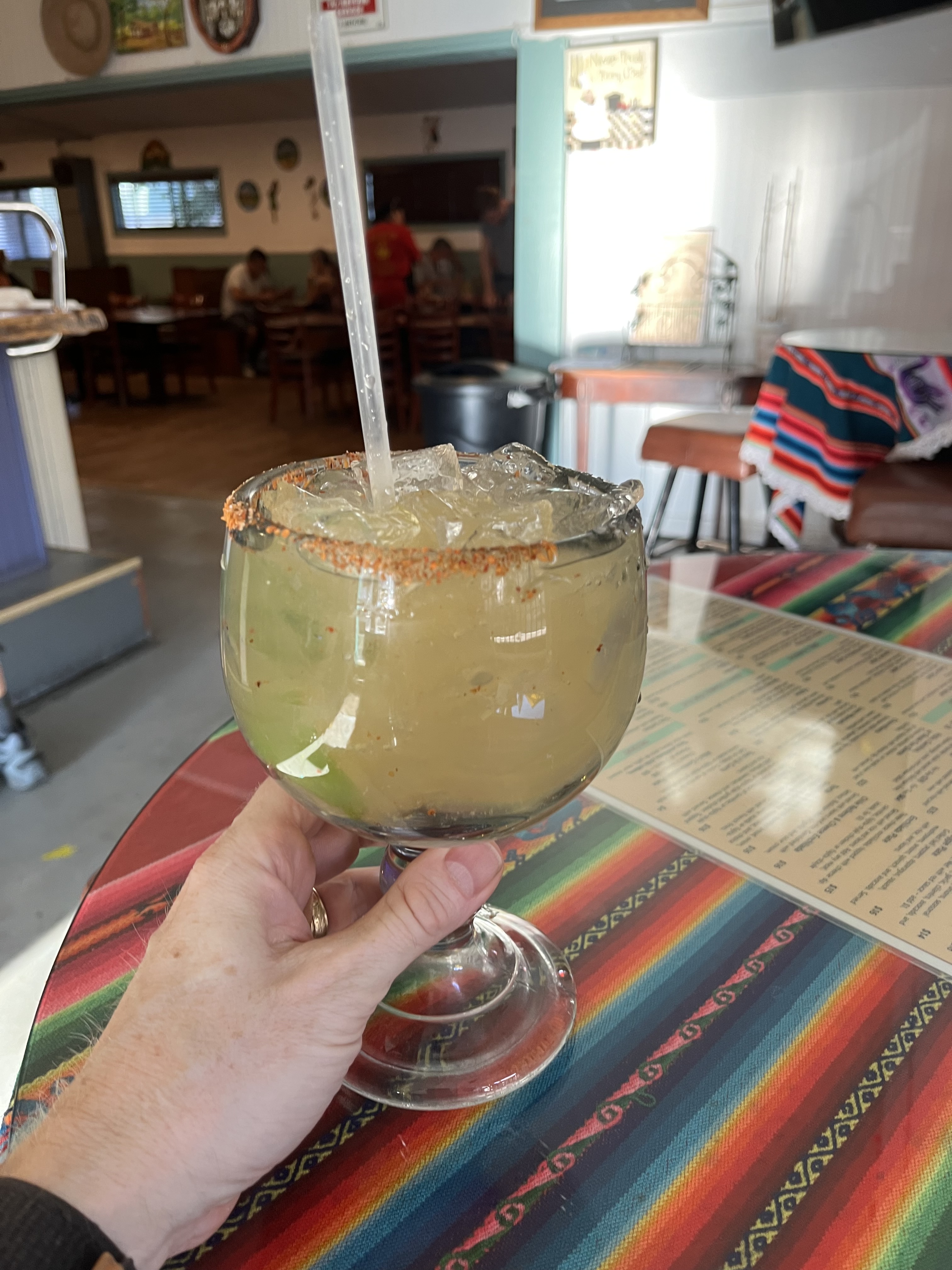
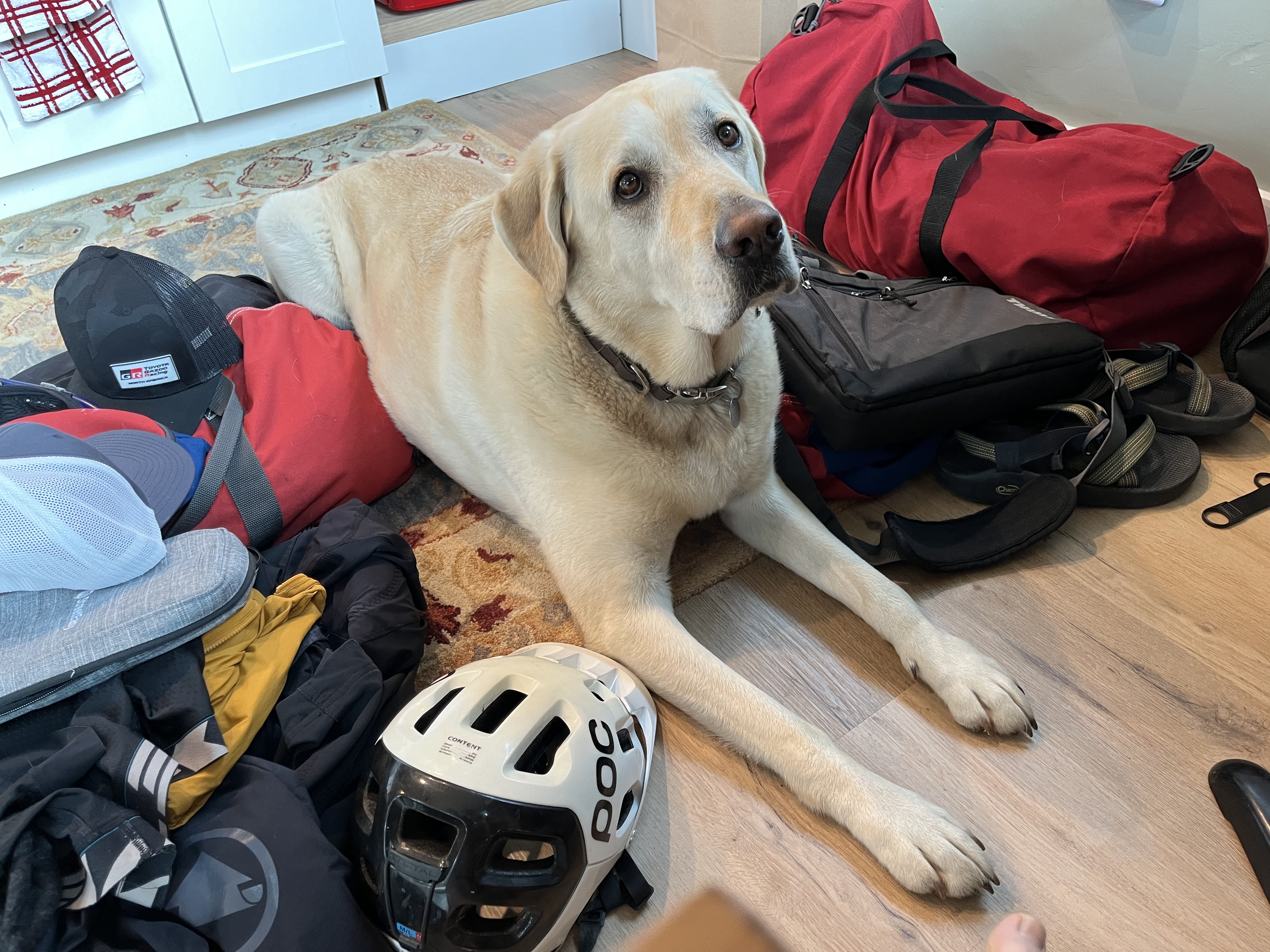
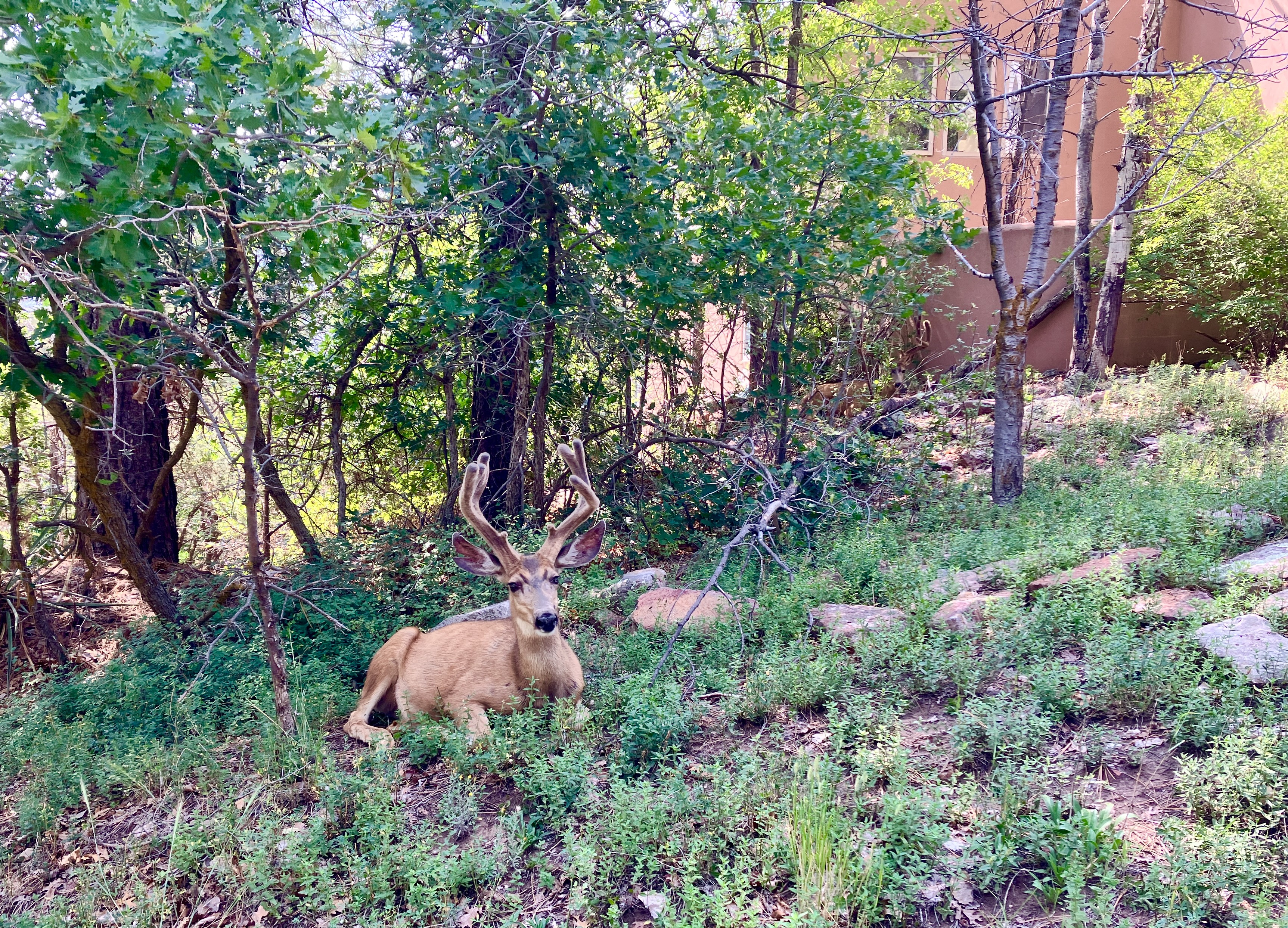
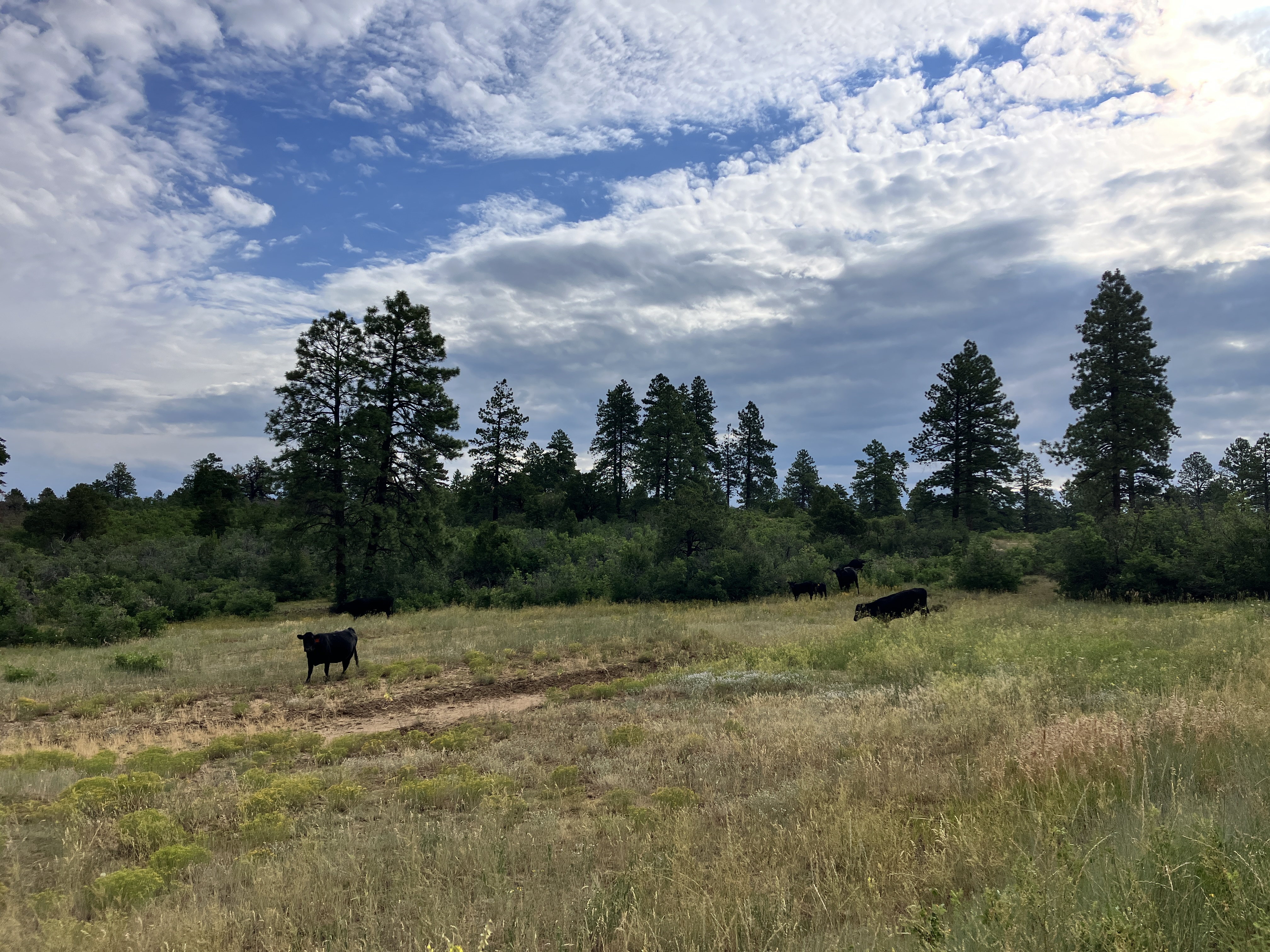
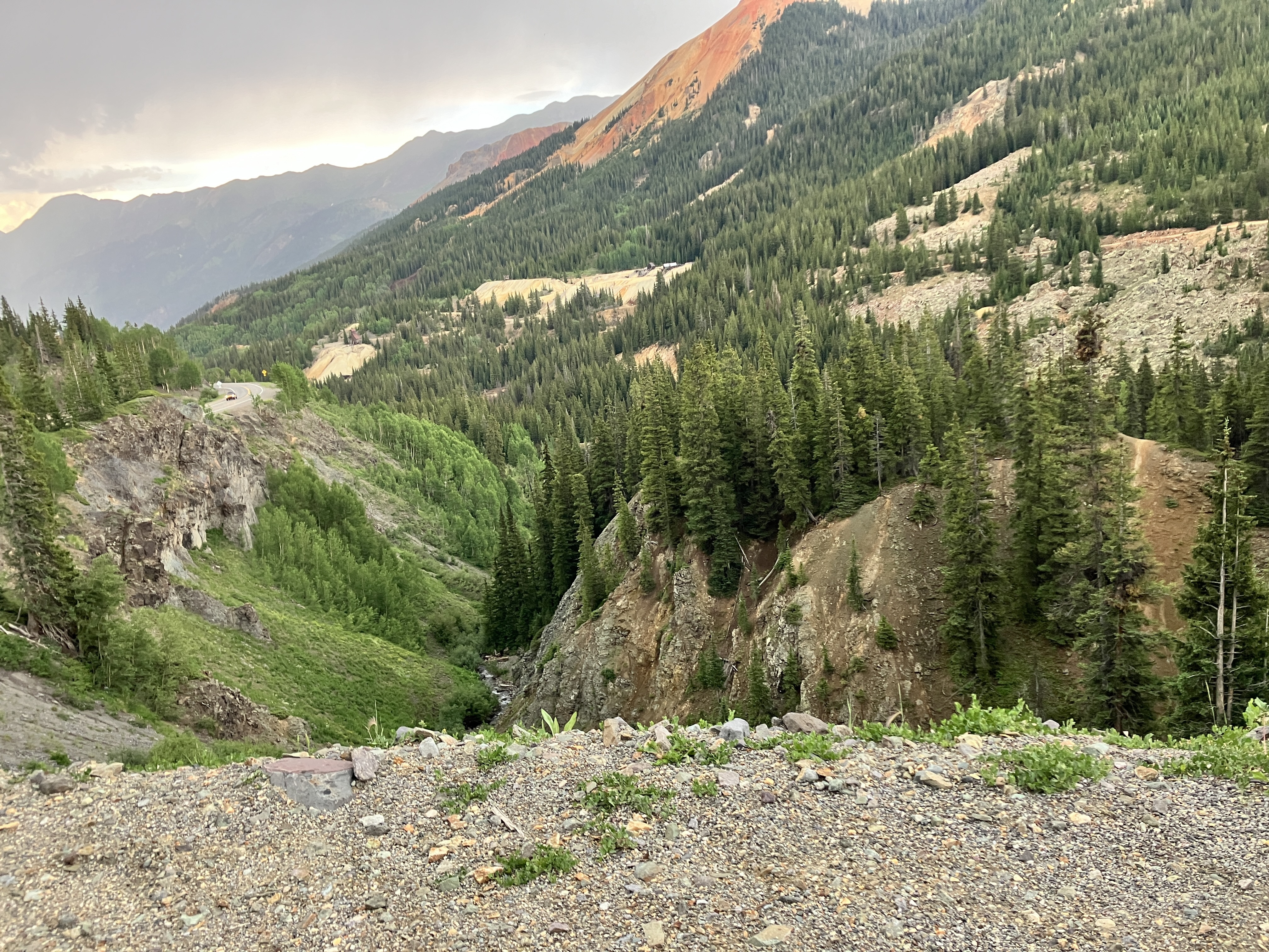
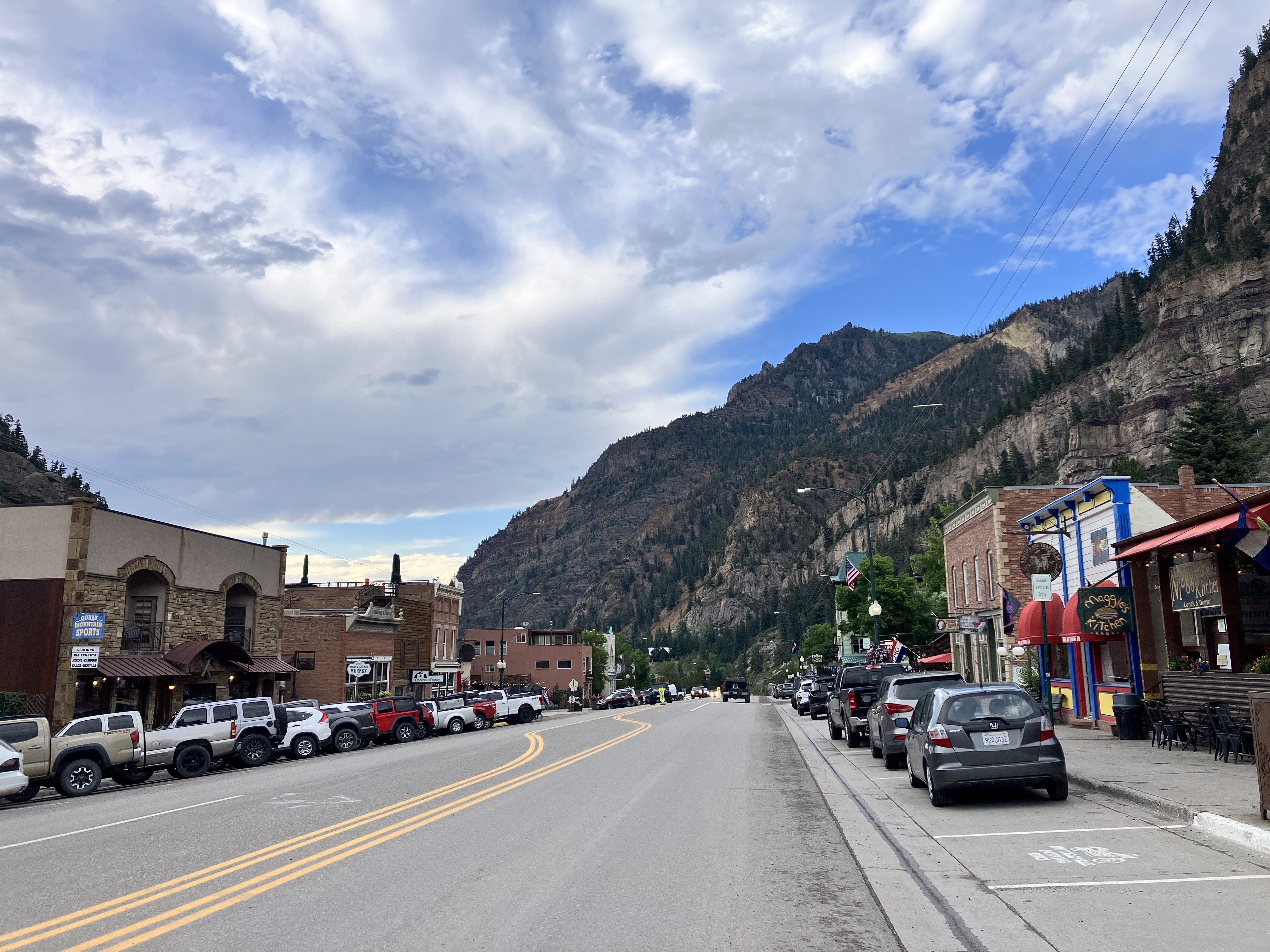
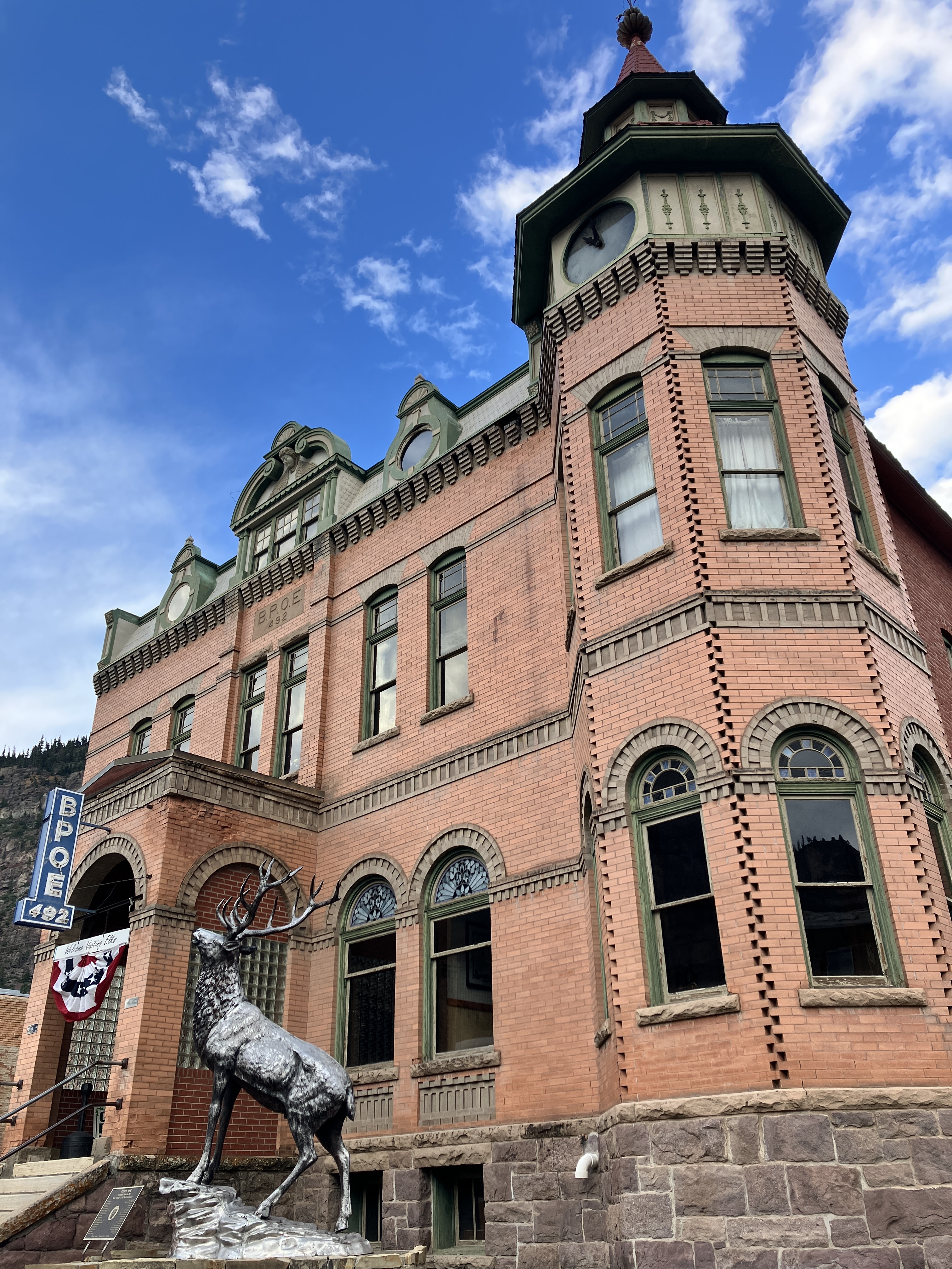
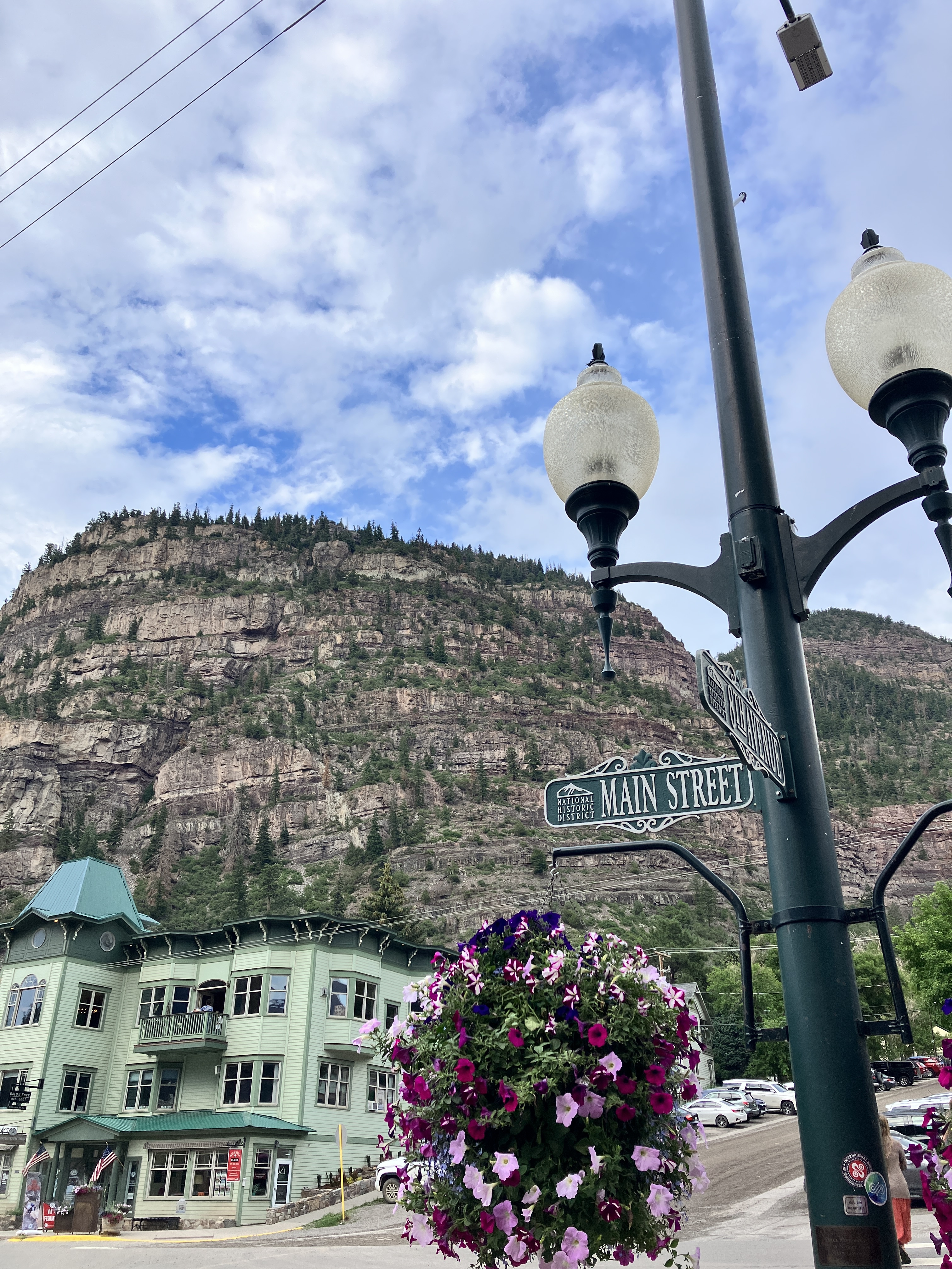
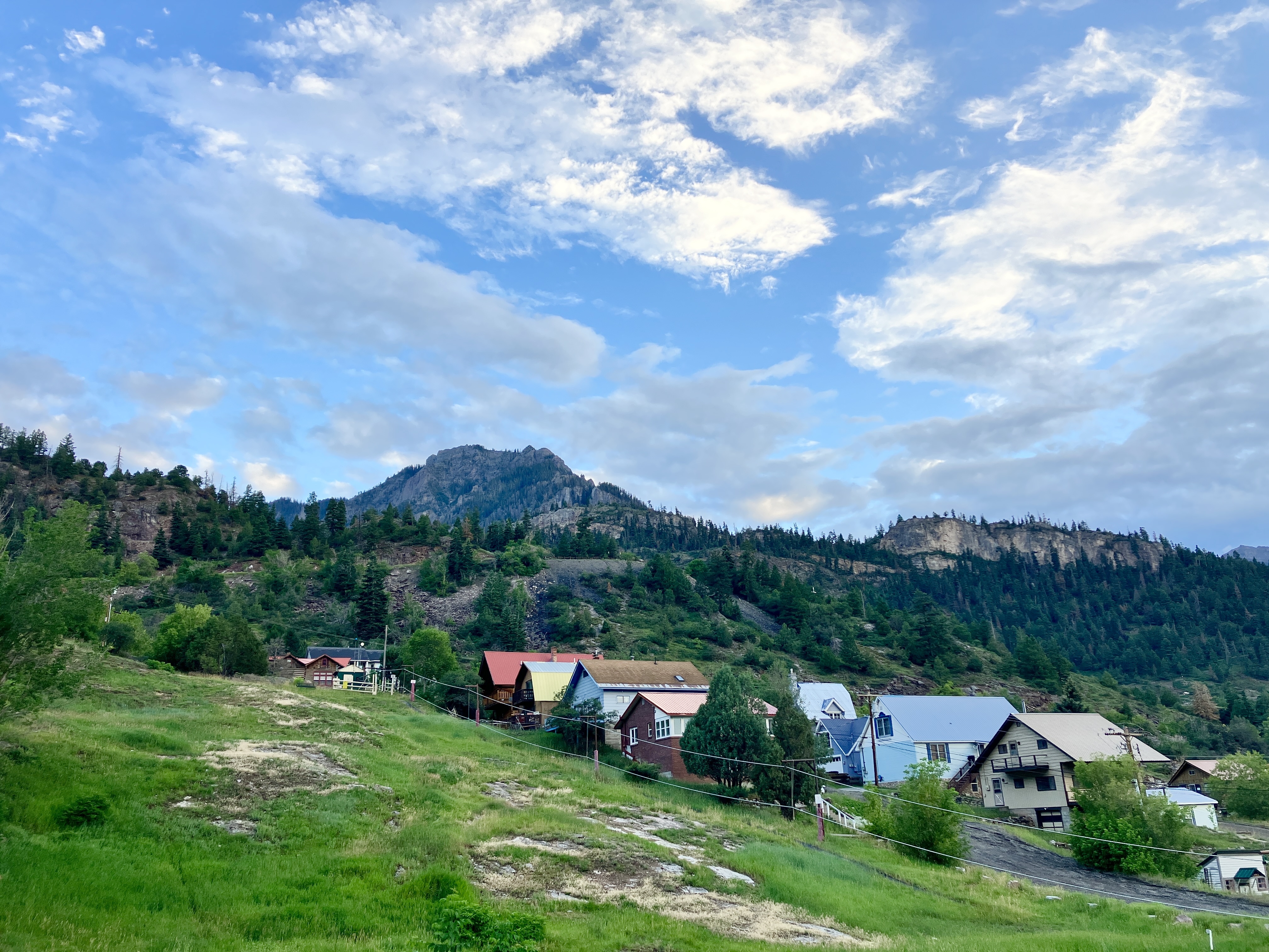
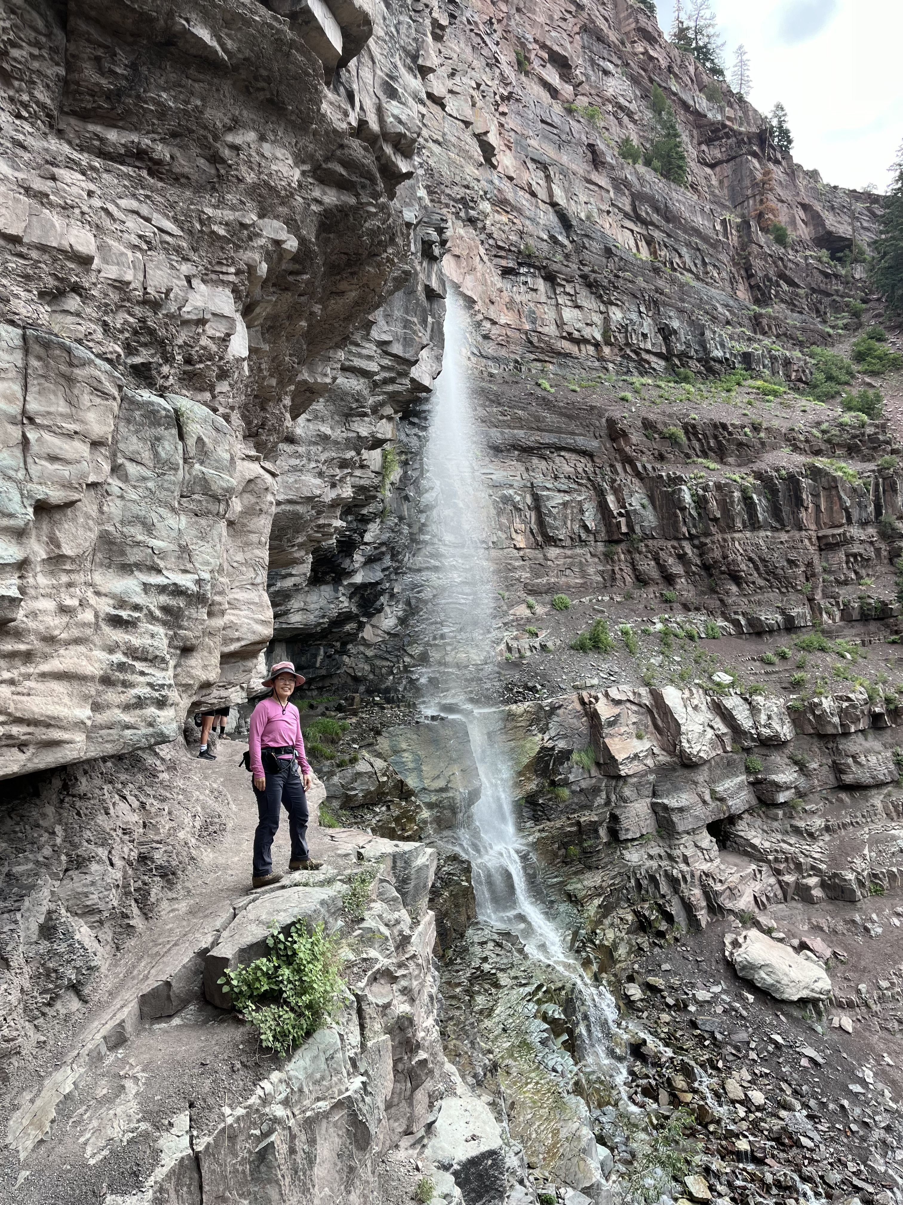
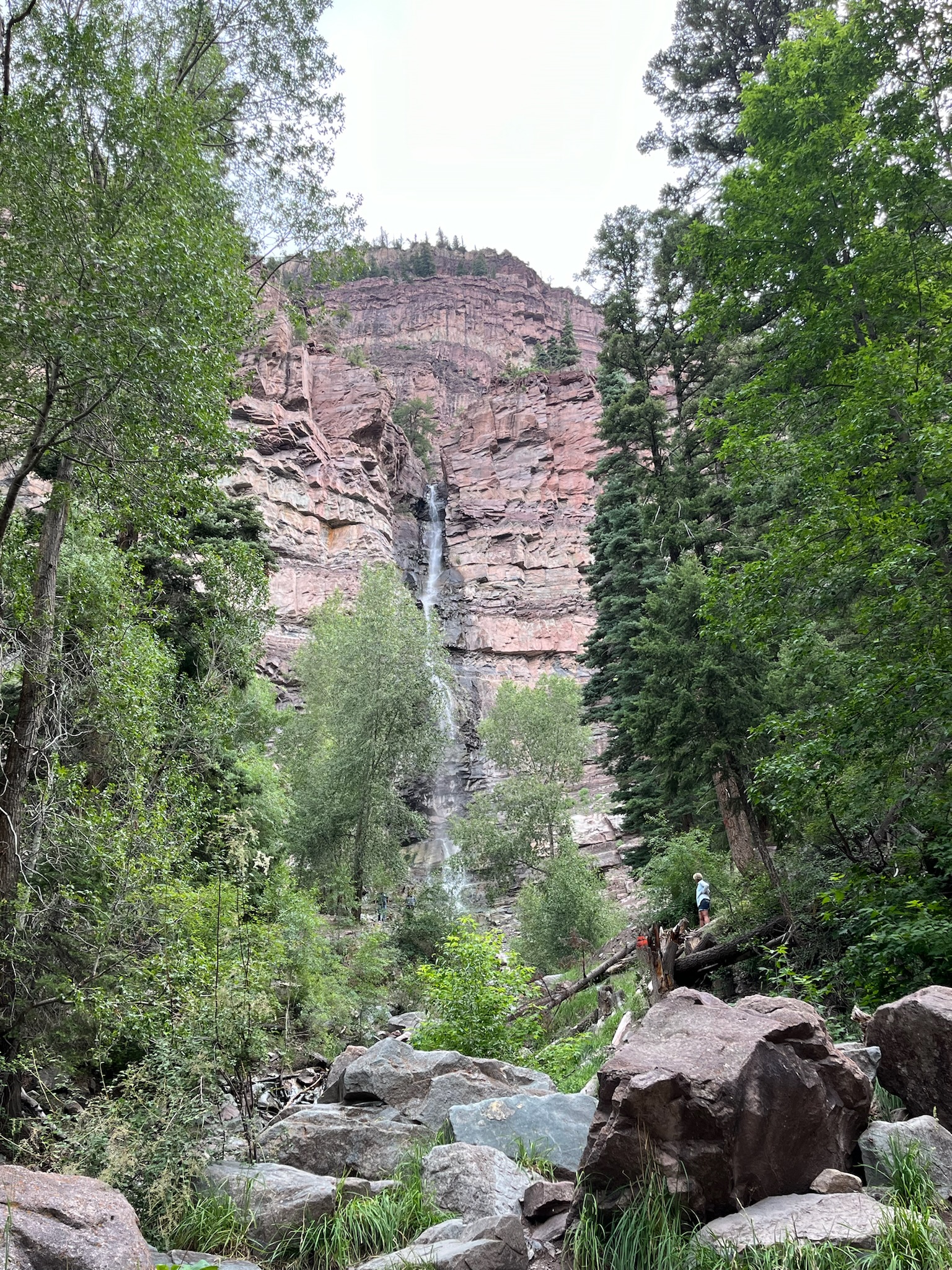
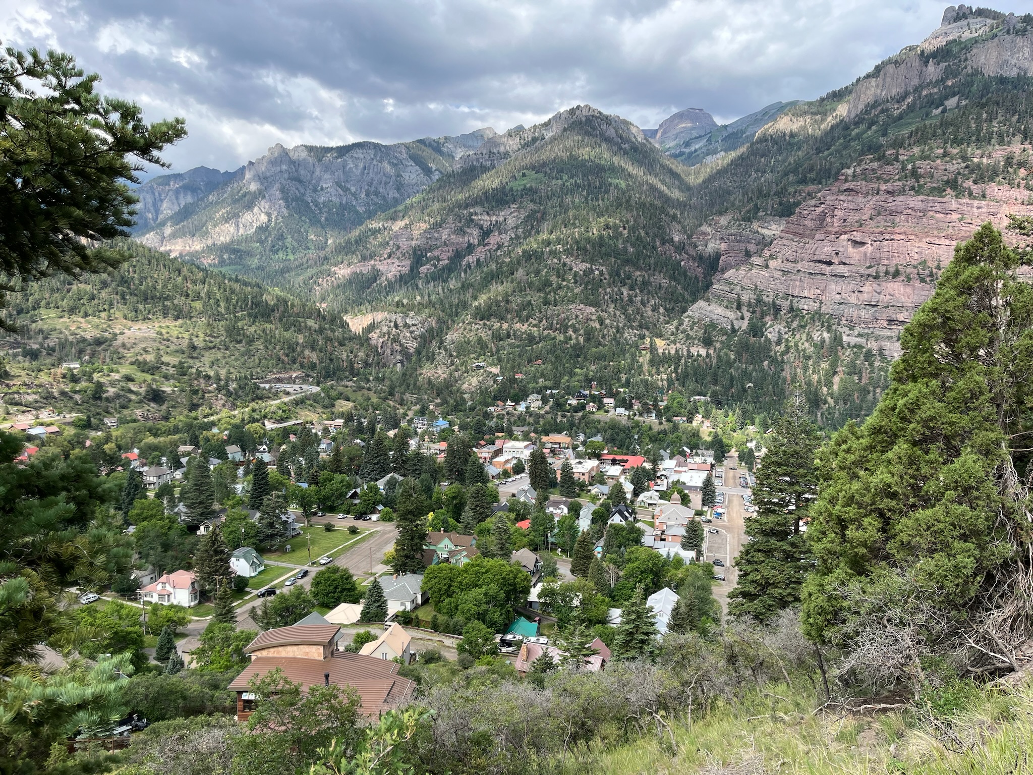
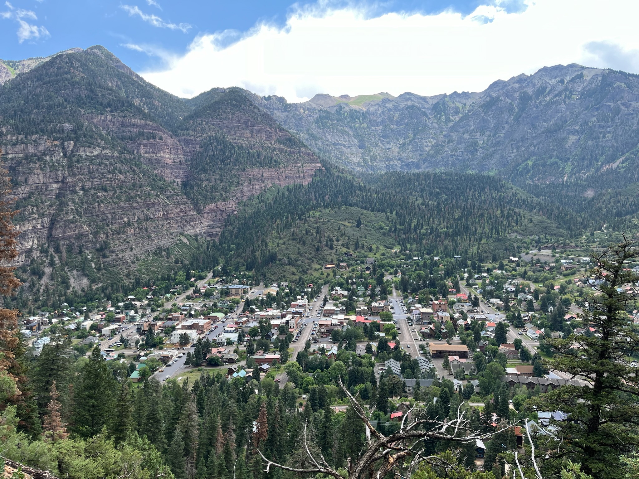
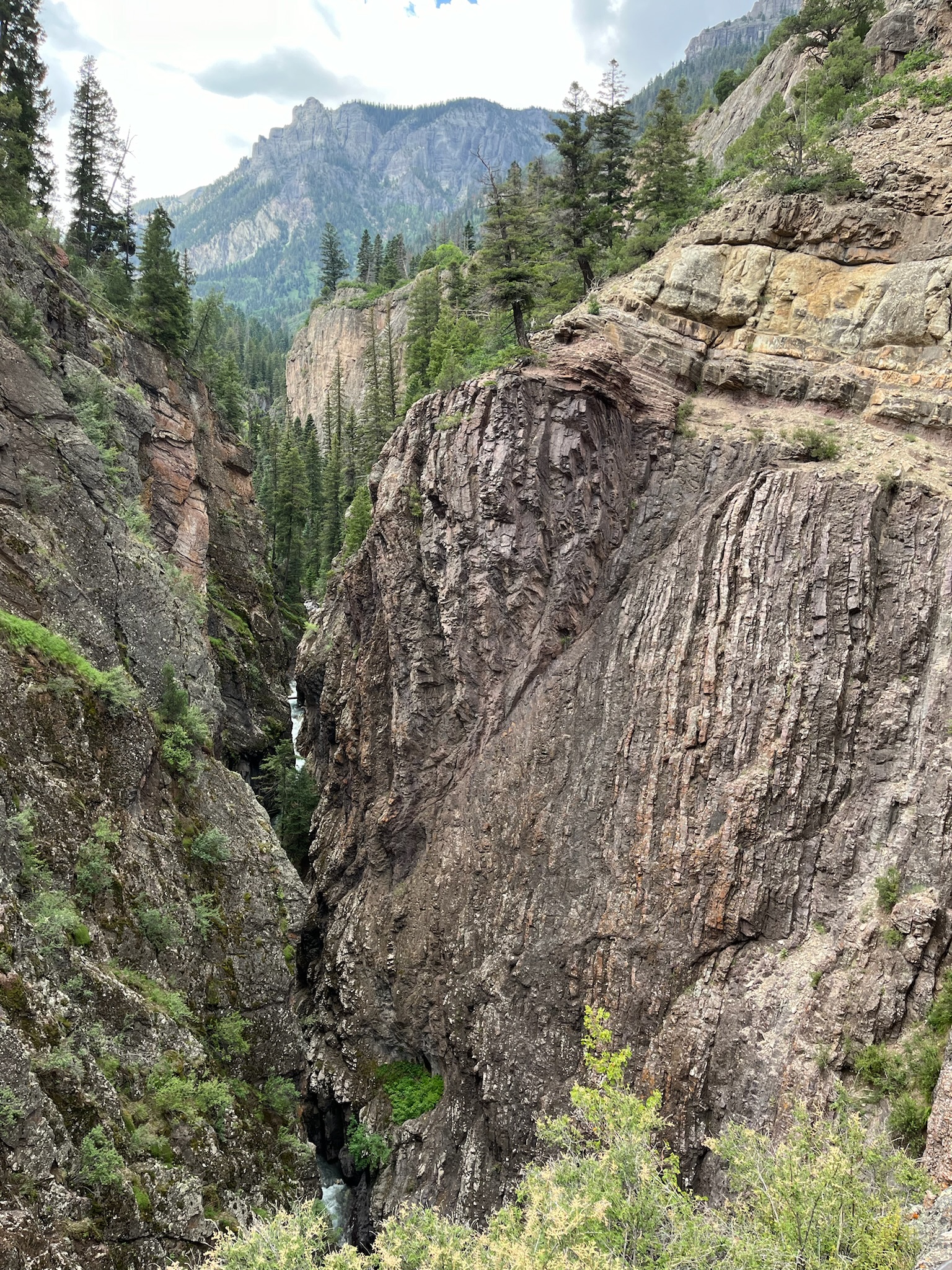
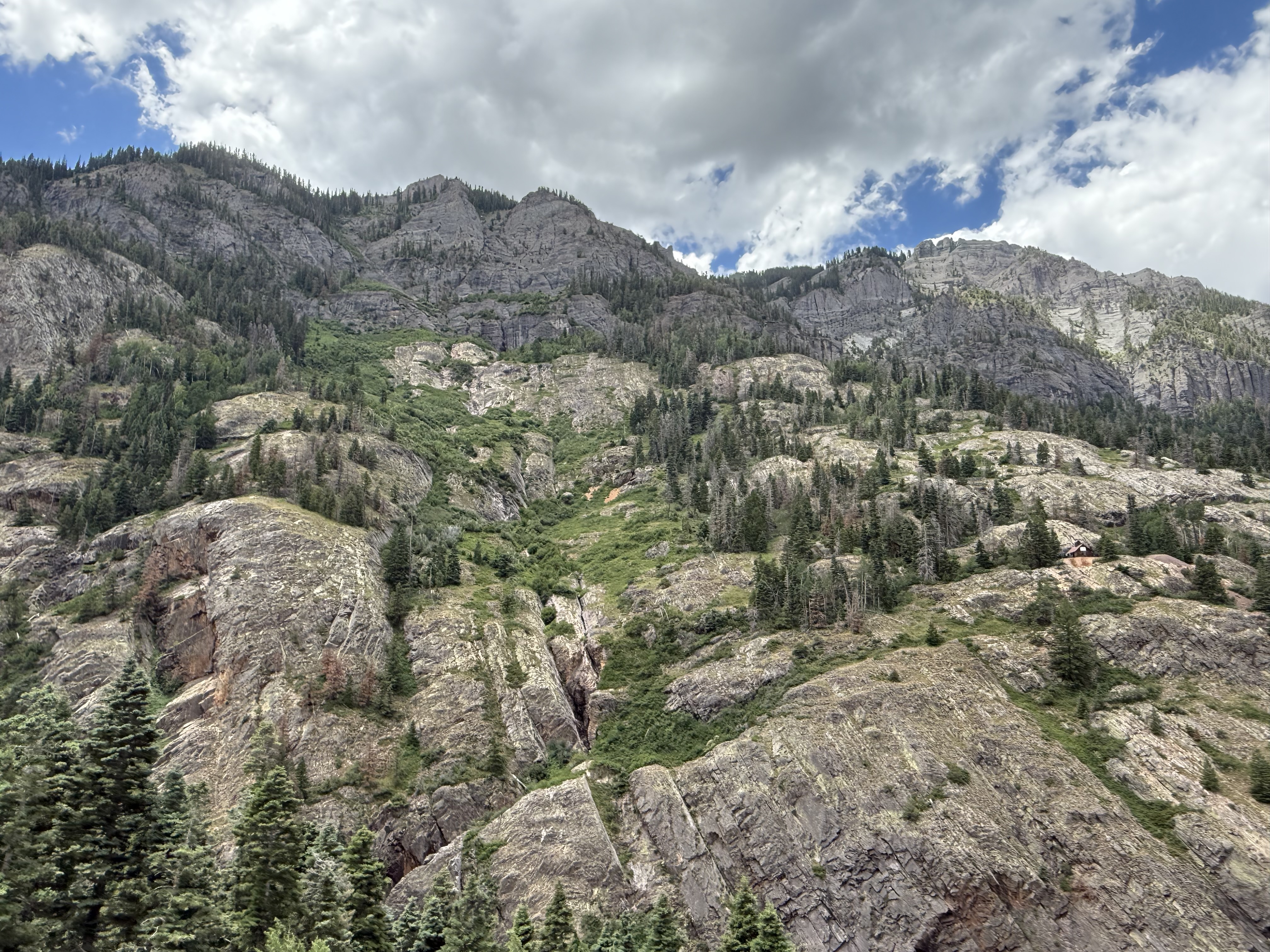
After we finished our ride in Grand Junction, we headed over to Durango to our Airbnb. (We stayed at the same Airbnb as last summer, mainly because of the 2 adorable doggies, Hank and Hannah!) Along the way, we stopped at a few spots to take some pictures because the drive was just so pretty. We got to drive along the famous “Million Dollar Highway” again, like last year, but this time, we approached it from the north. Doesn’t matter which direction you take that highway because it’s all beautiful!


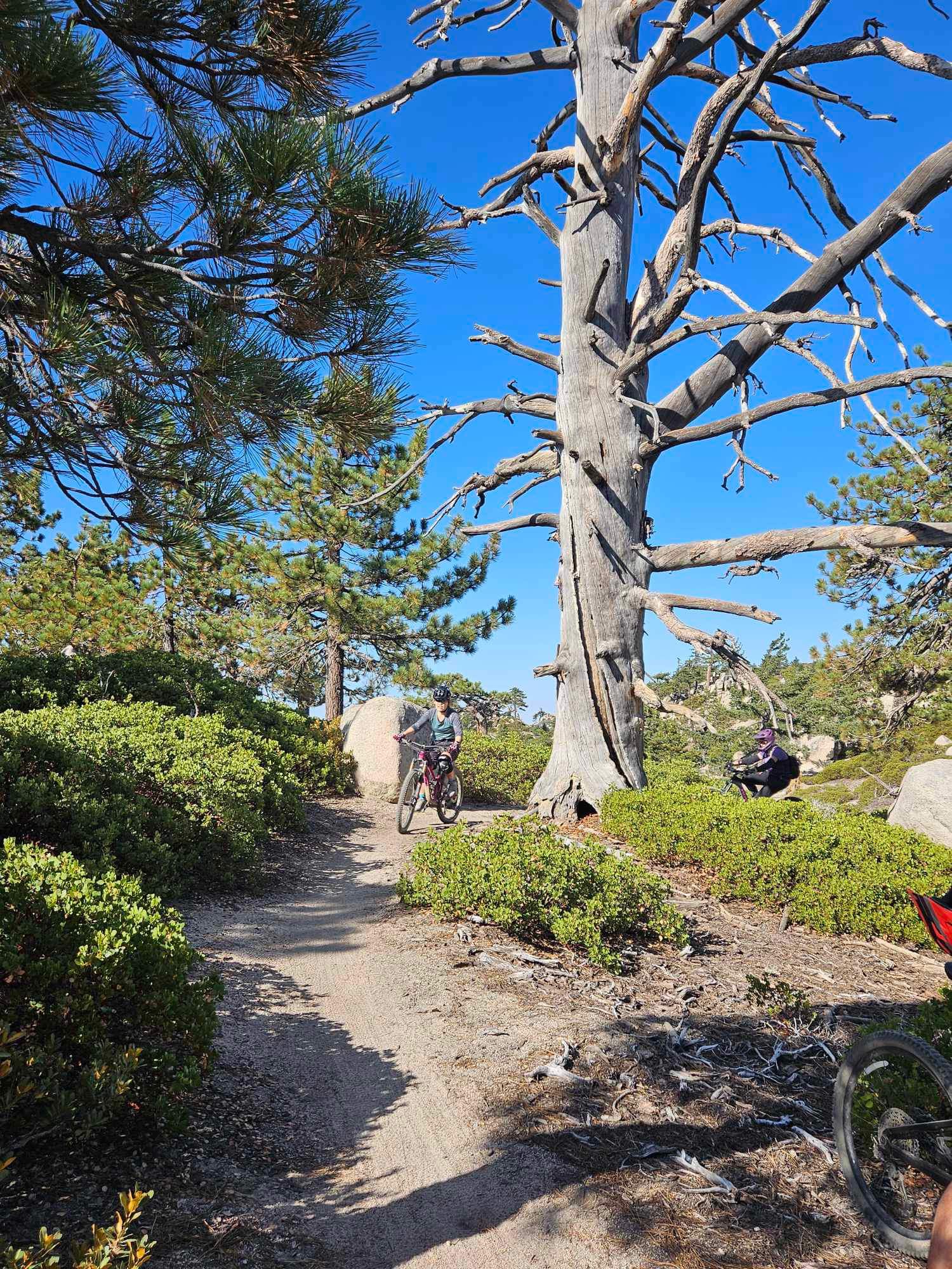
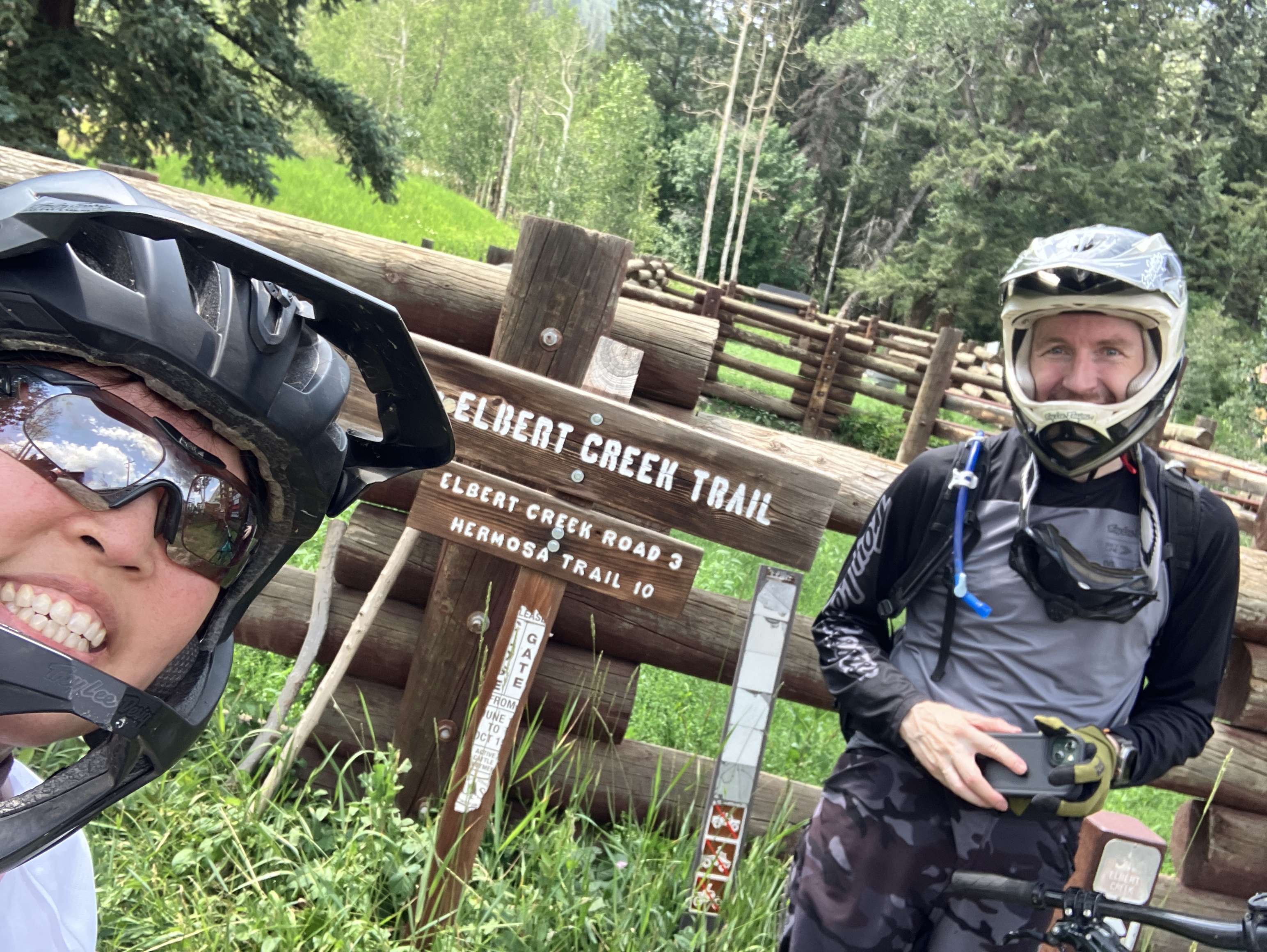
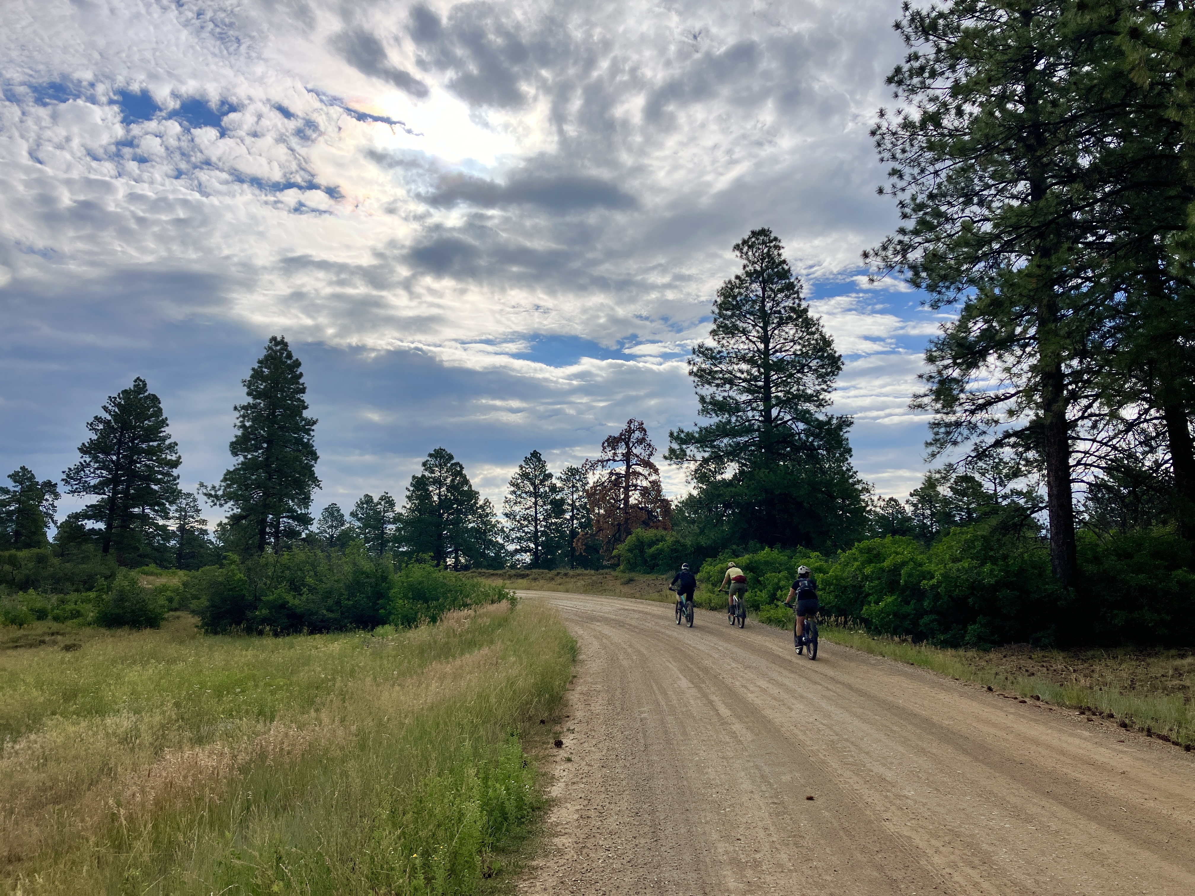
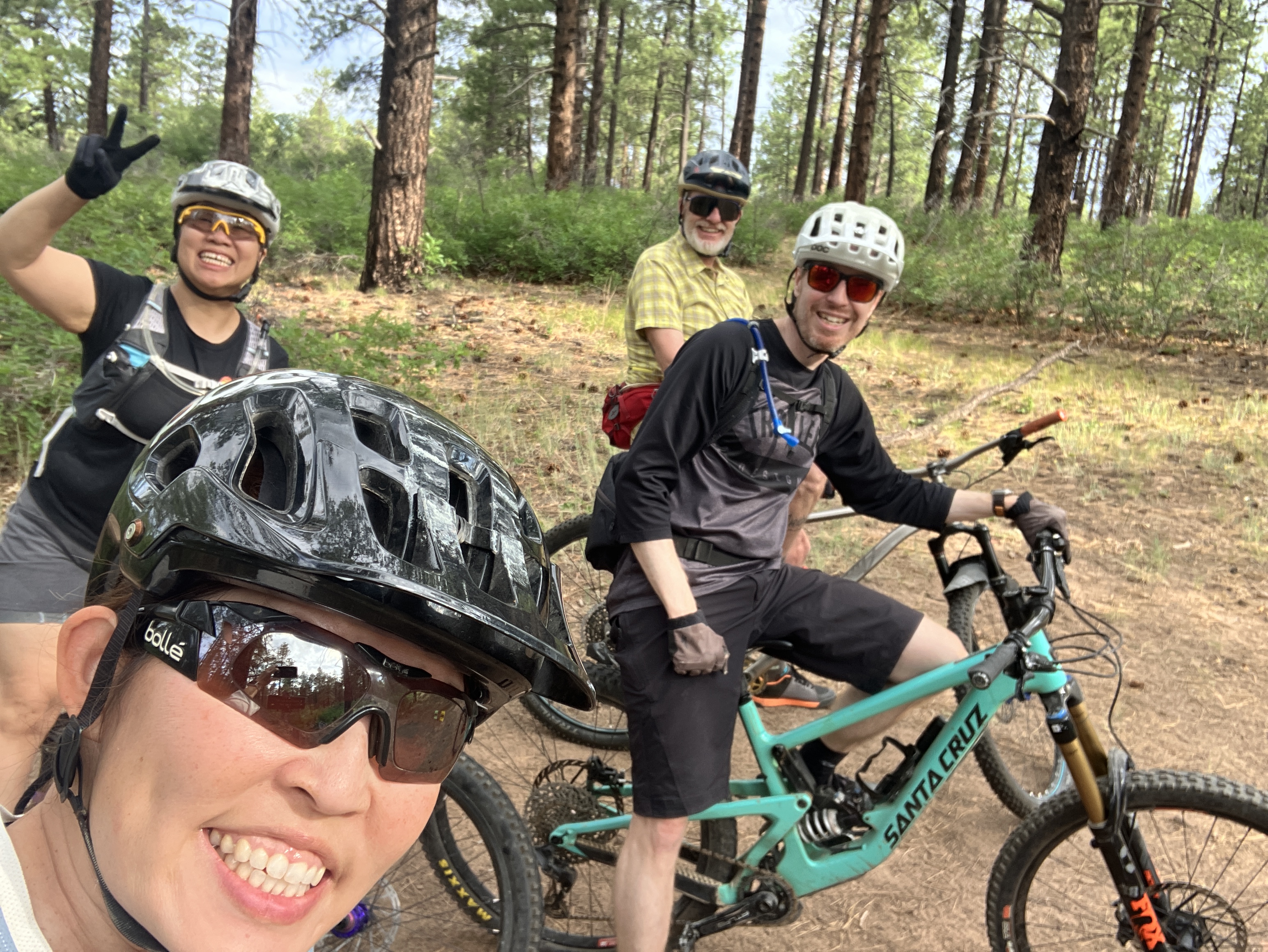
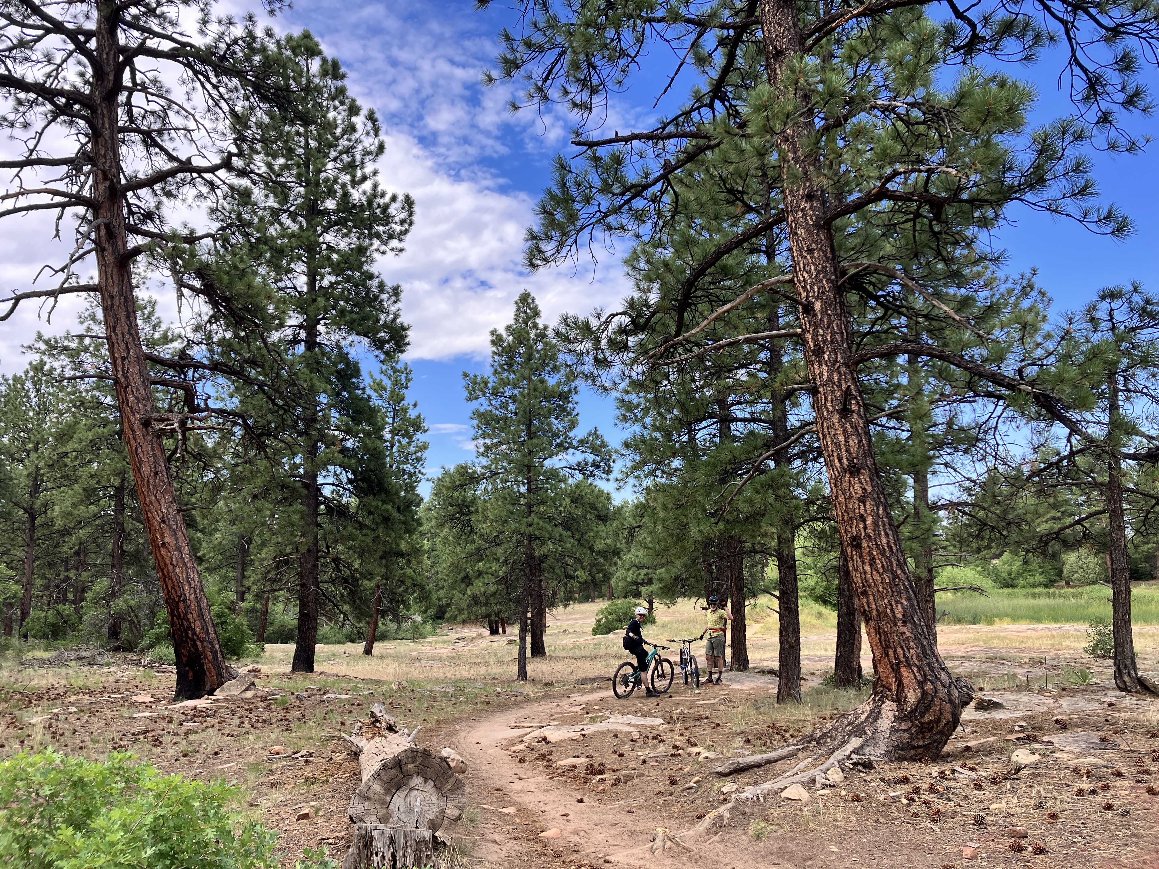
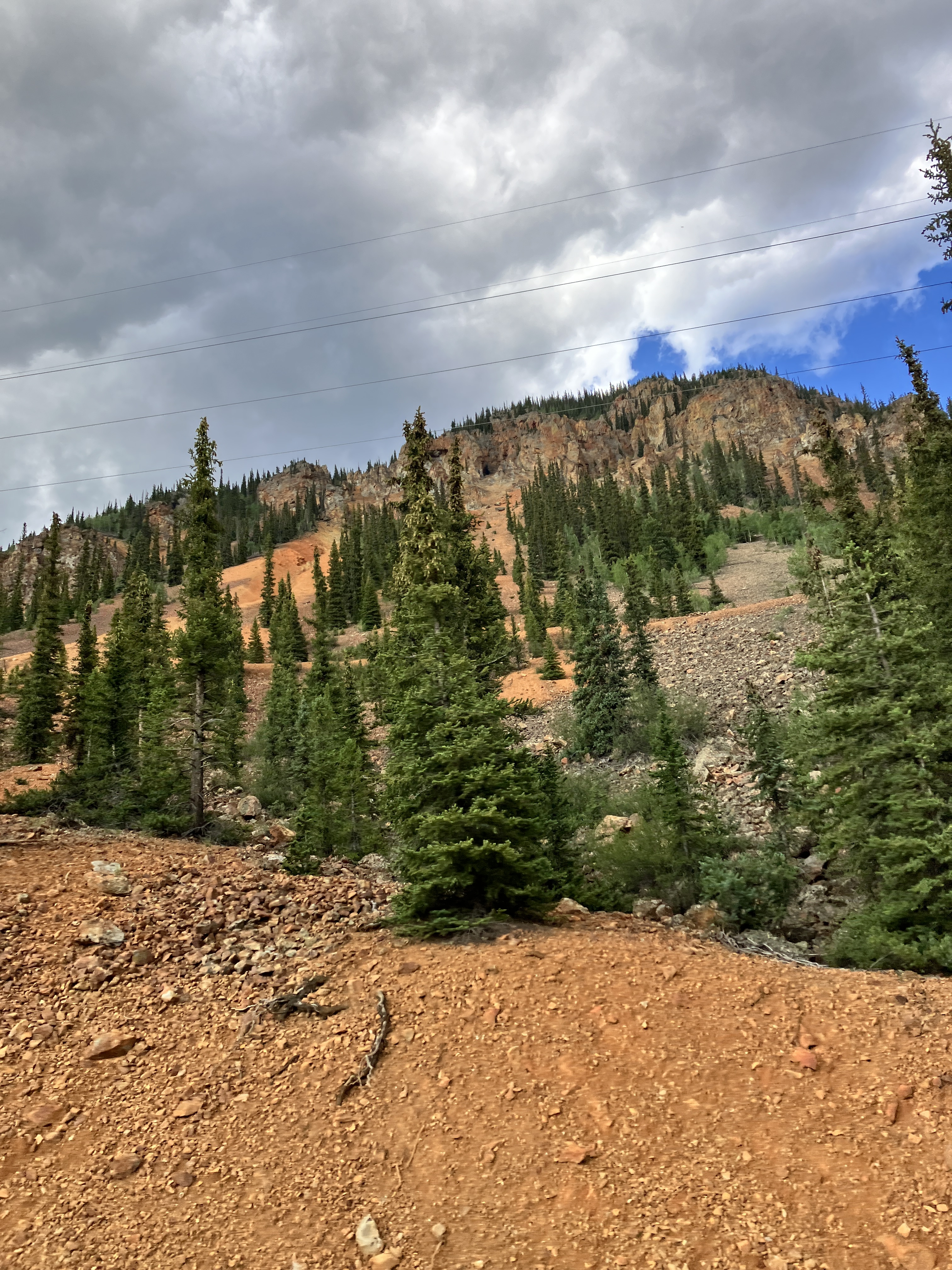
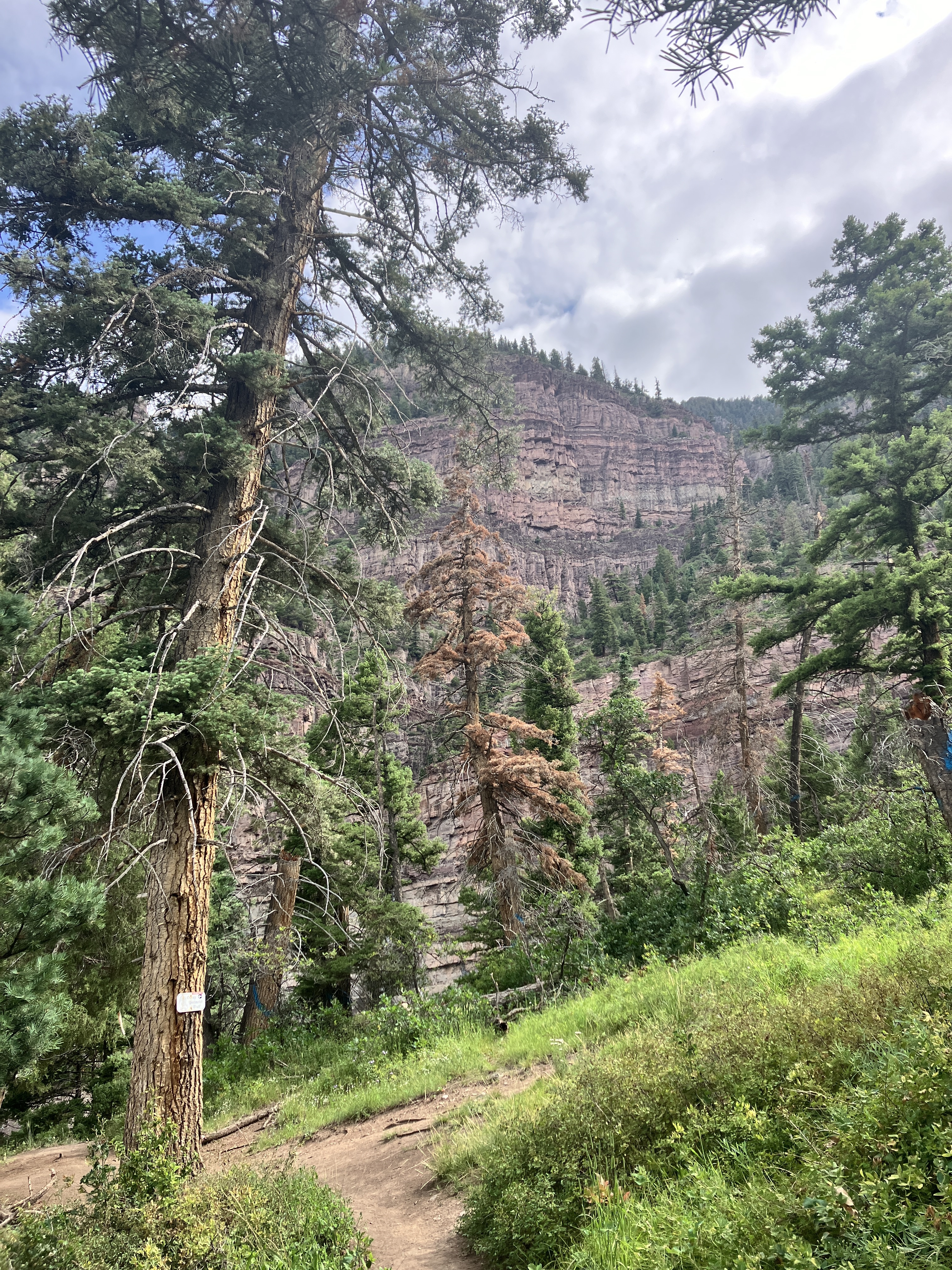
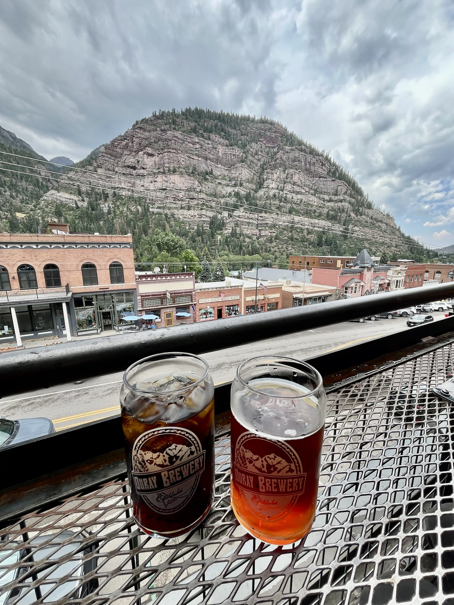
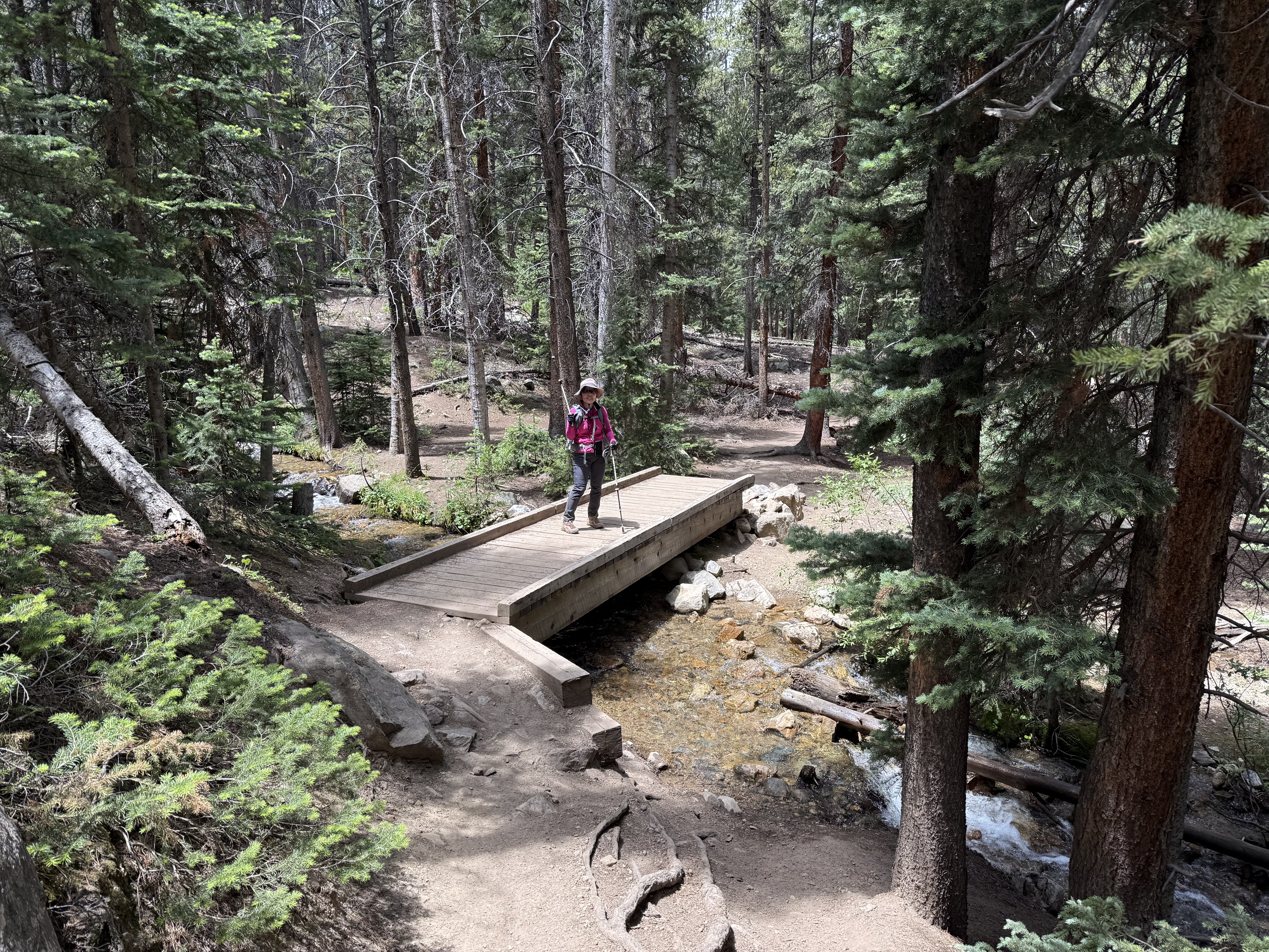
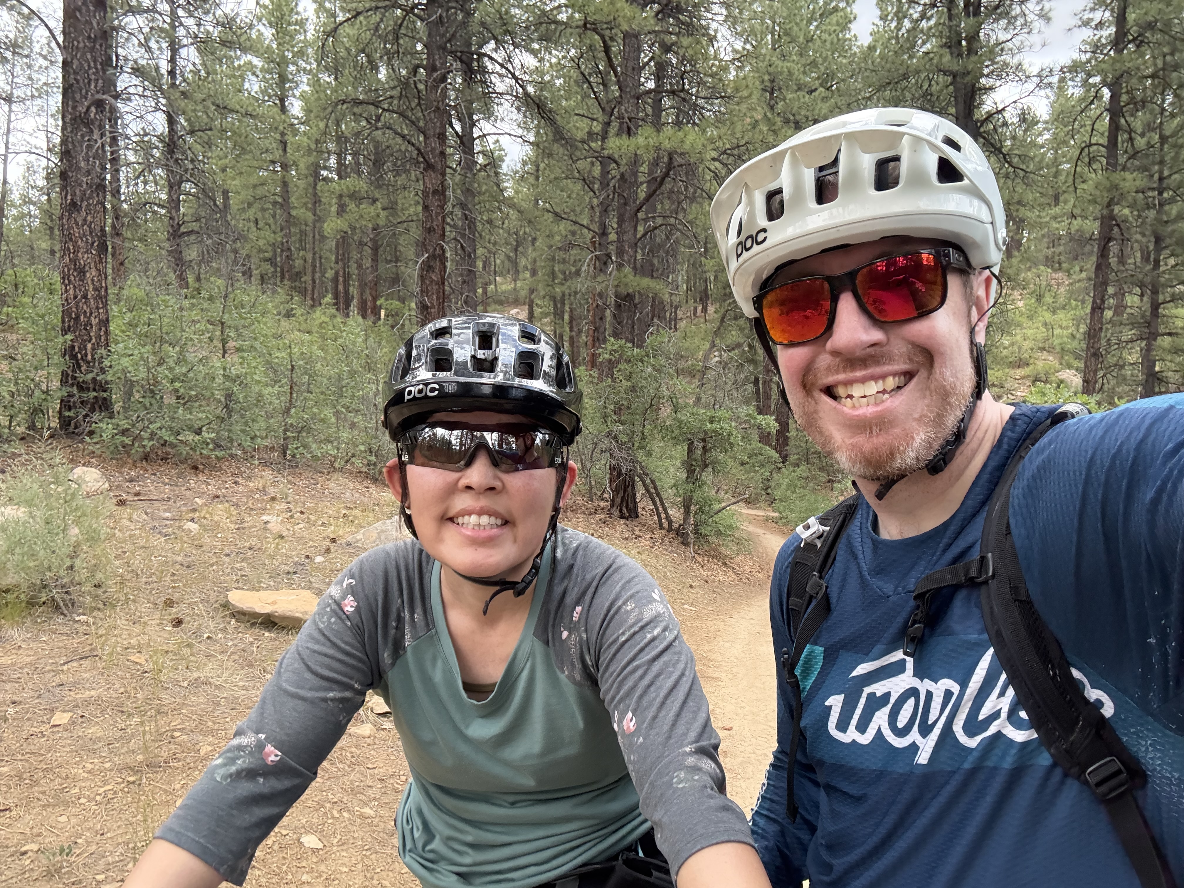
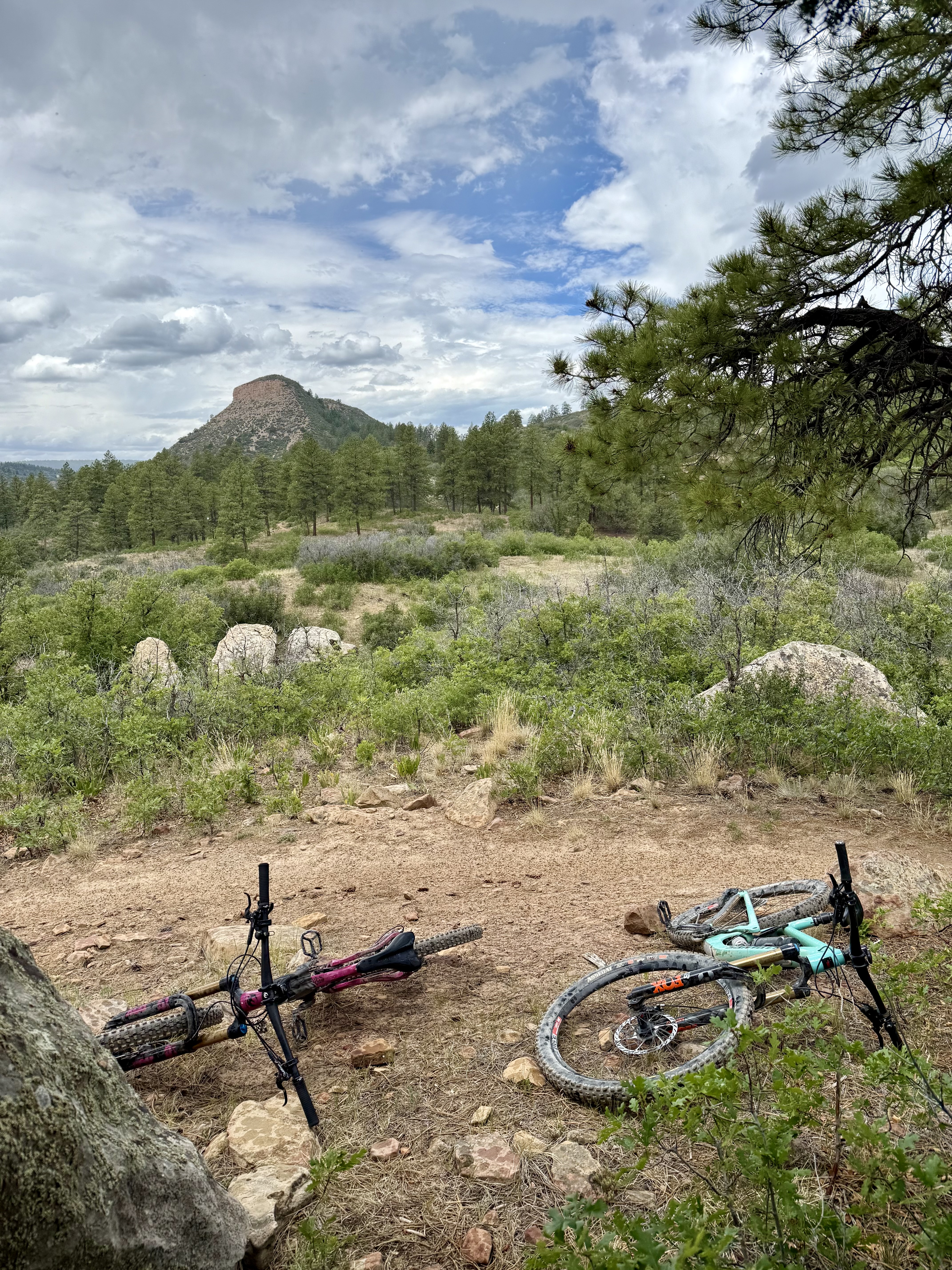
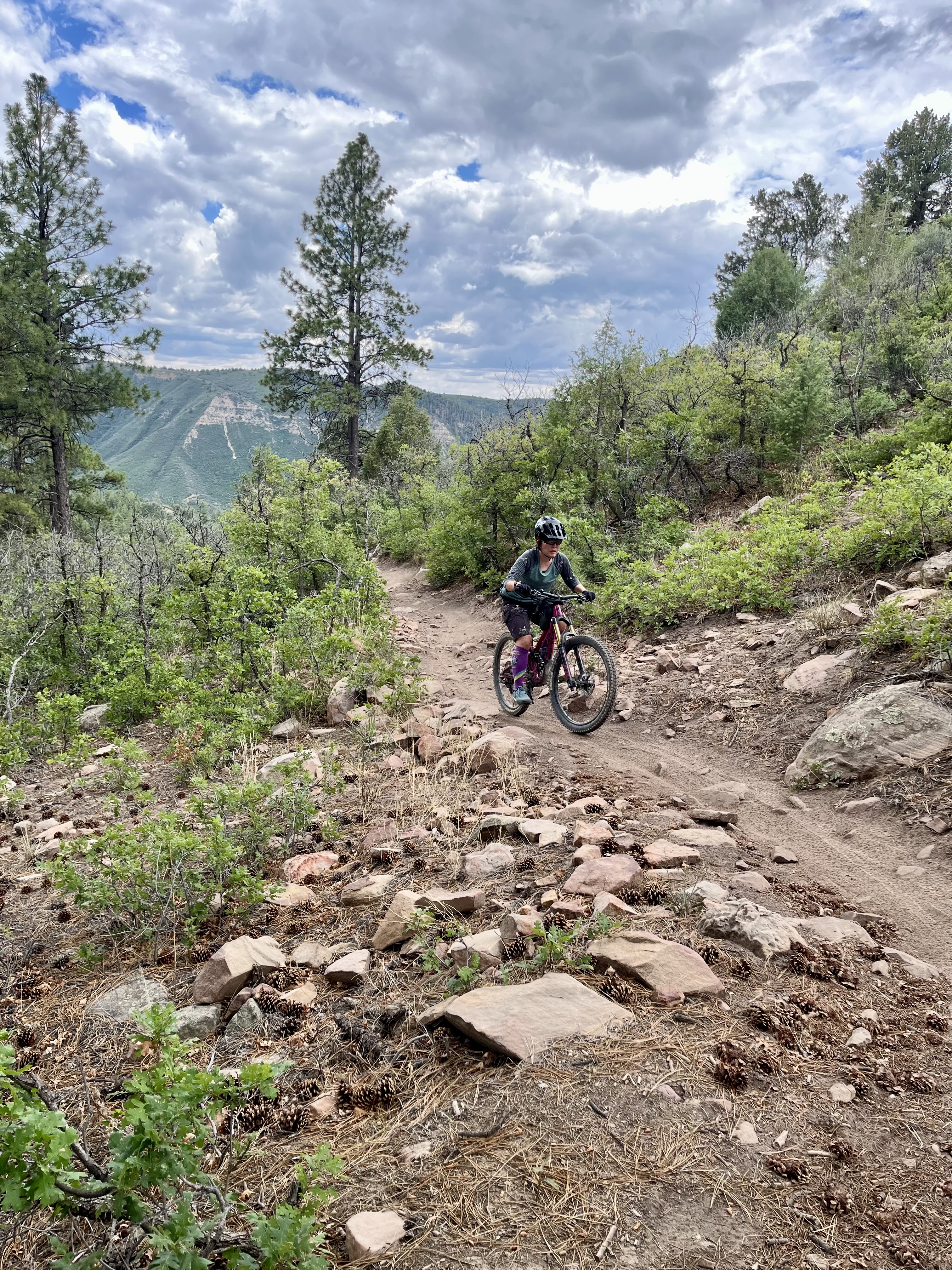
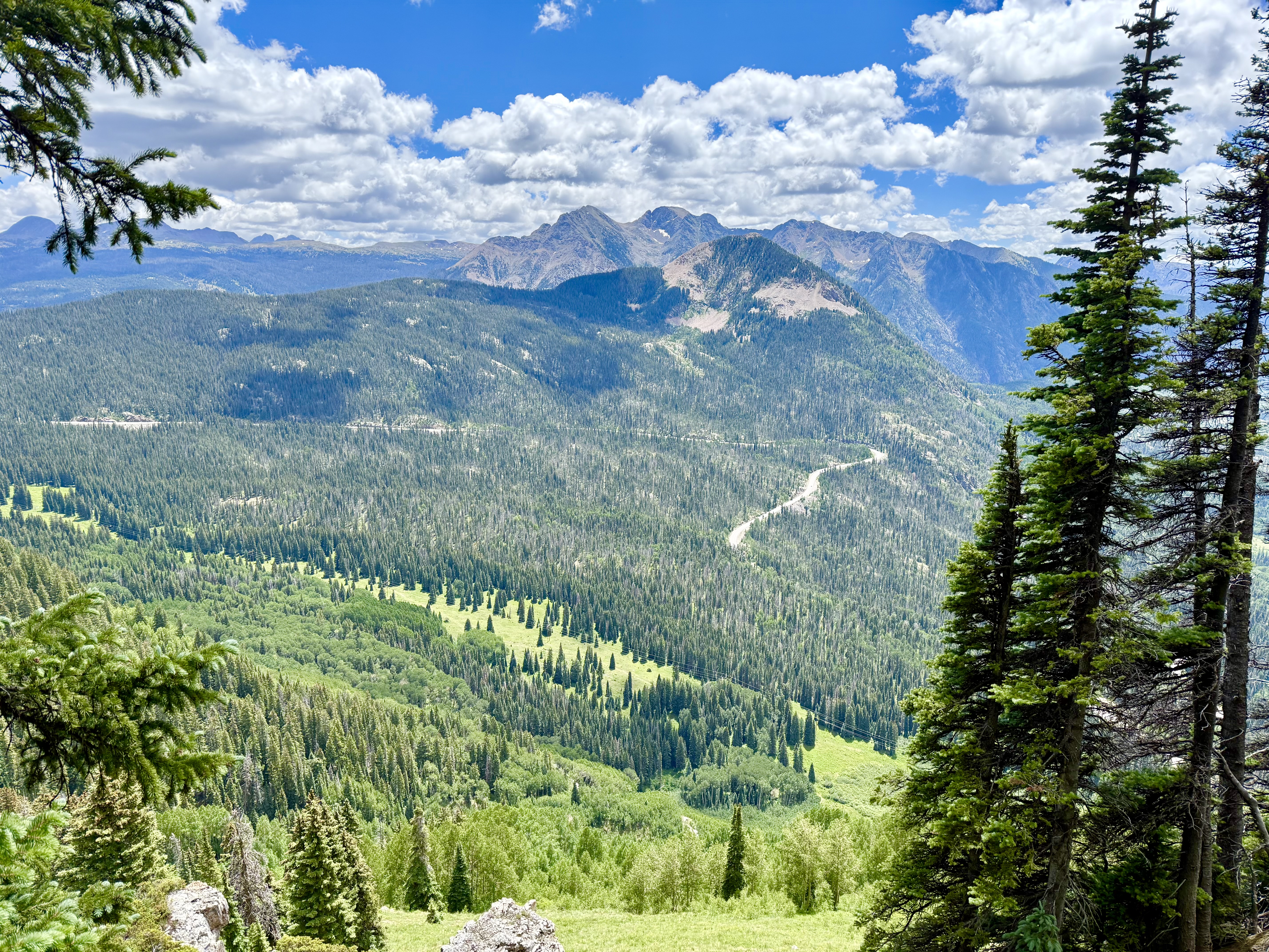
After a leisurely breakfast, we made our way into Durango and to the Twin Buttes trailhead, which turned out to be a dirt parking lot slightly out of town along highway 160. The weather was cloudy and it looked like it was going to rain, so we weren’t sure if we should do the entire planned route. But, we decided to go for it and kept pedaling our way up into the forest….then had to take shelter a couple of times when it started raining pretty hard. After waiting out the rain, the skies cleared up and the rest of the ride (which was downhill!) was pretty fantastic. There was lots of fun flowy riding and even a cool wood feature near the end of the ride (a very steep downhill ramp…which I did!). I would definitely ride the Twin Buttes loop again.
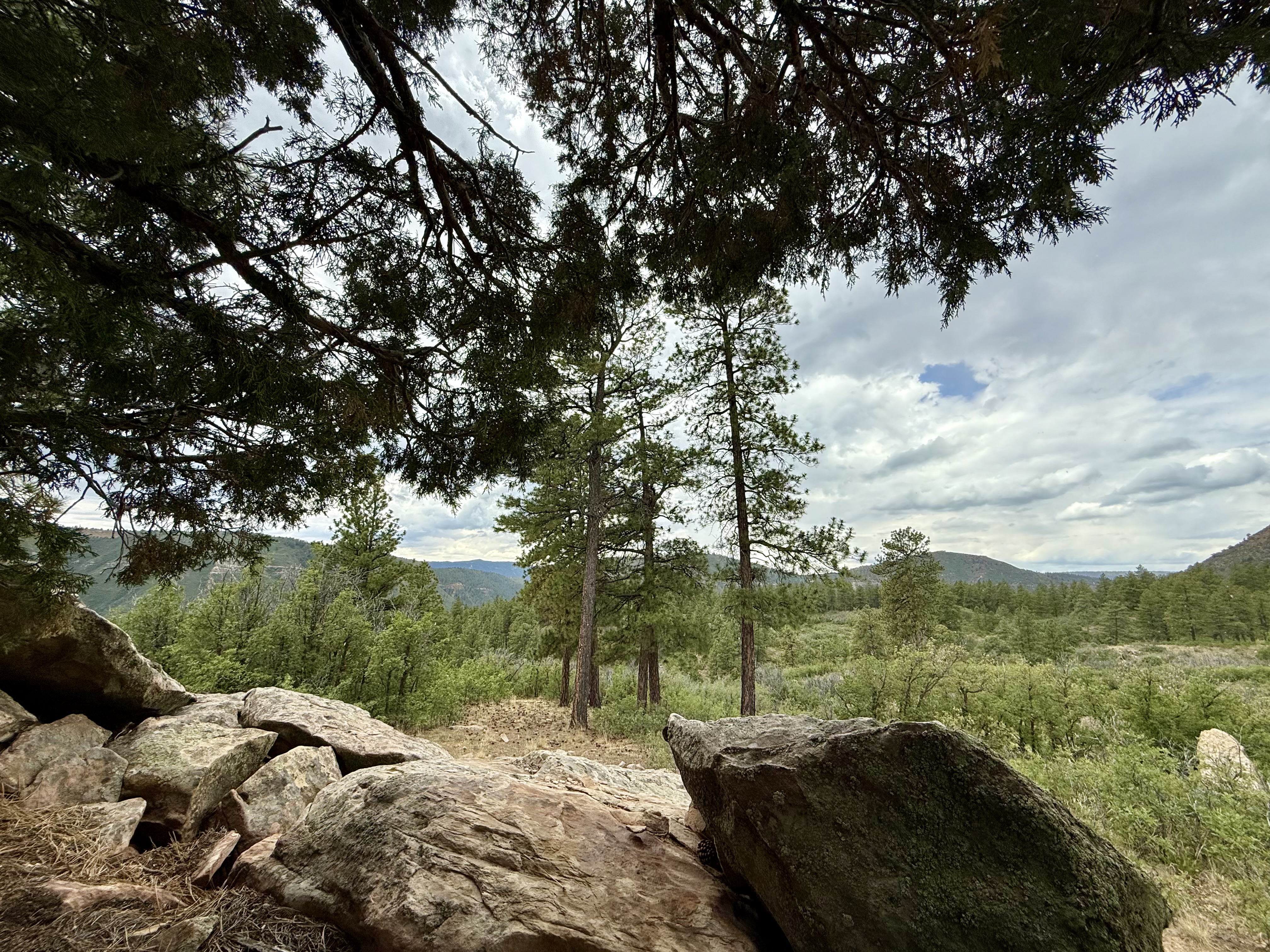
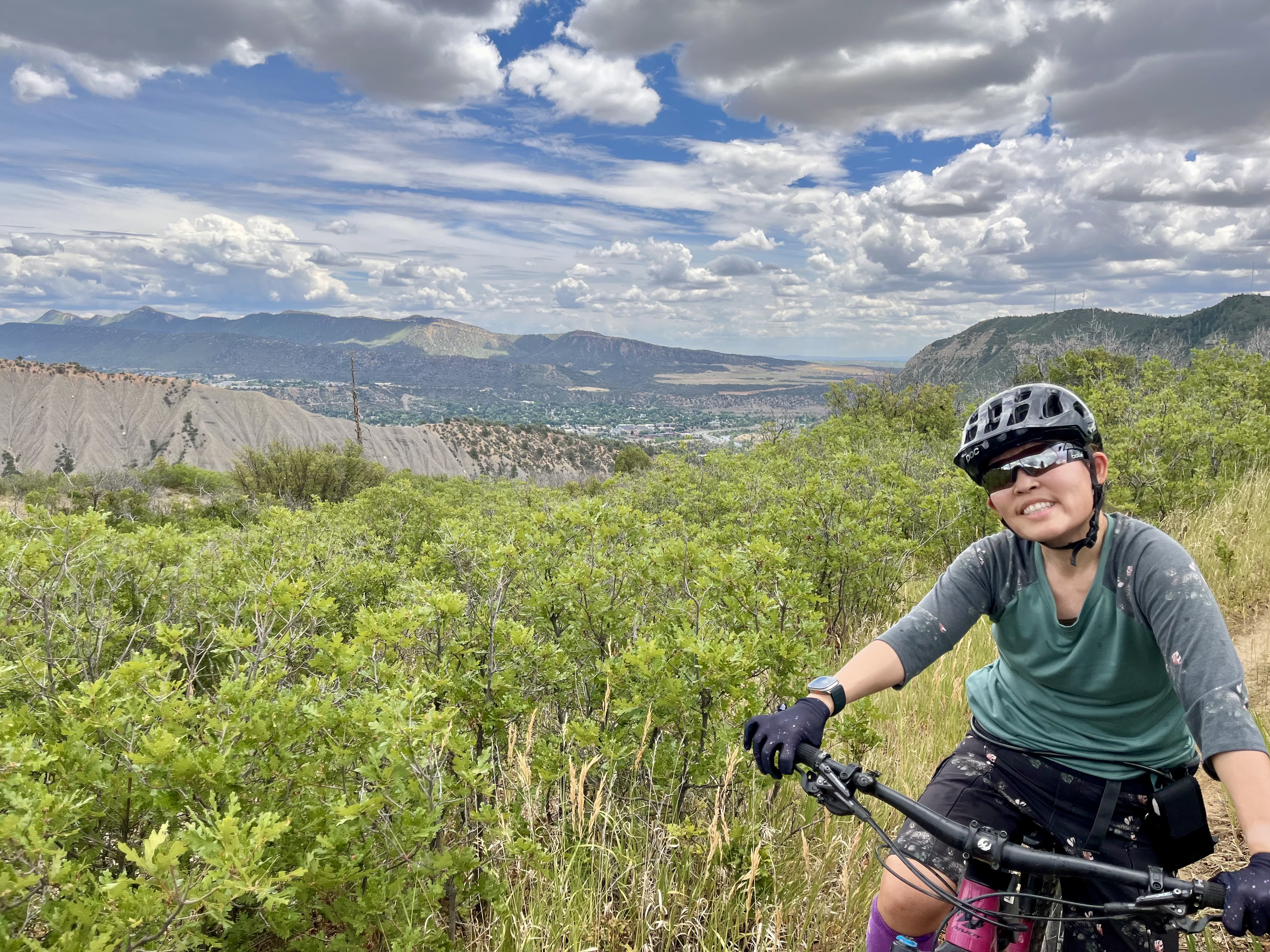
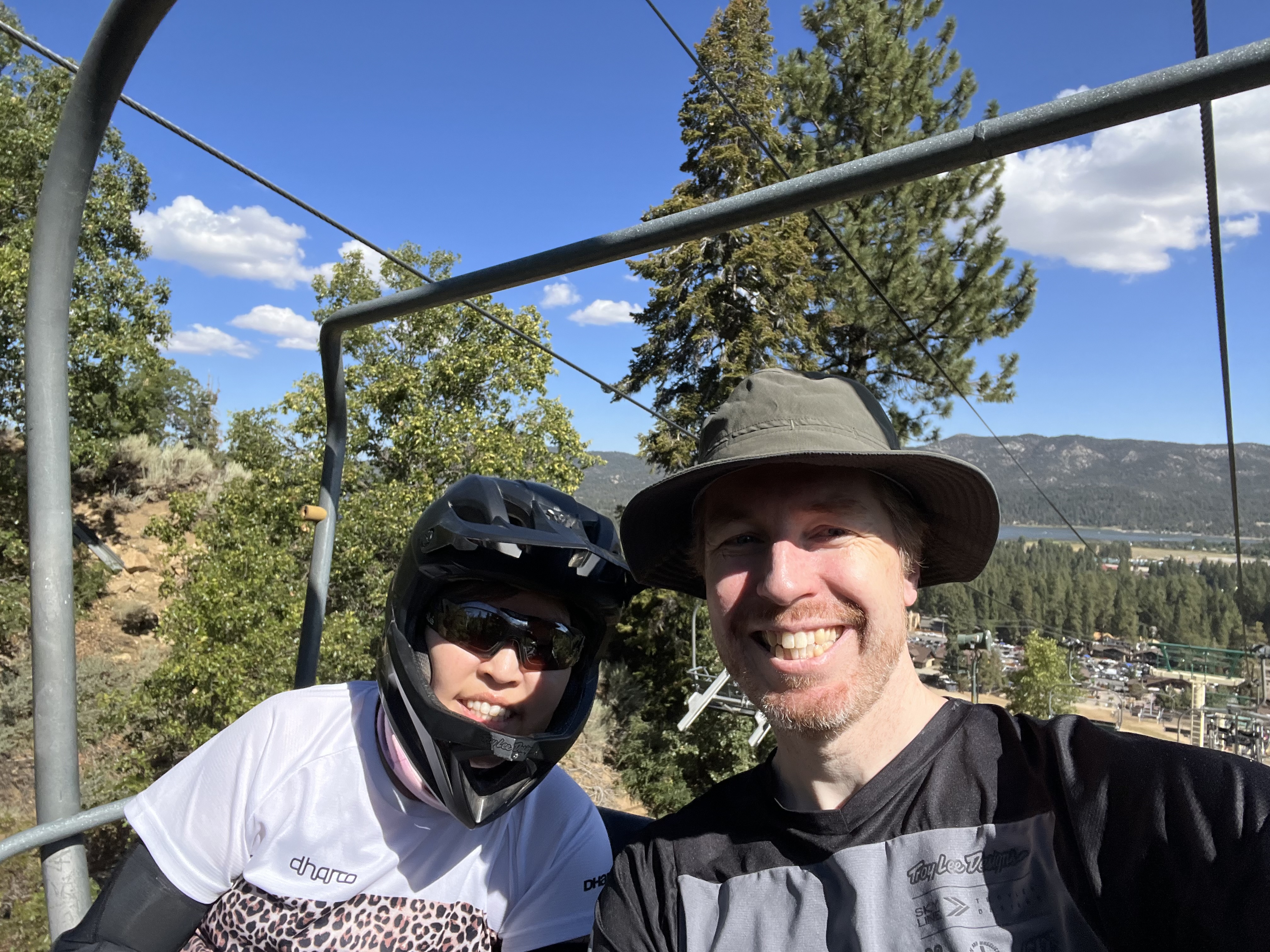
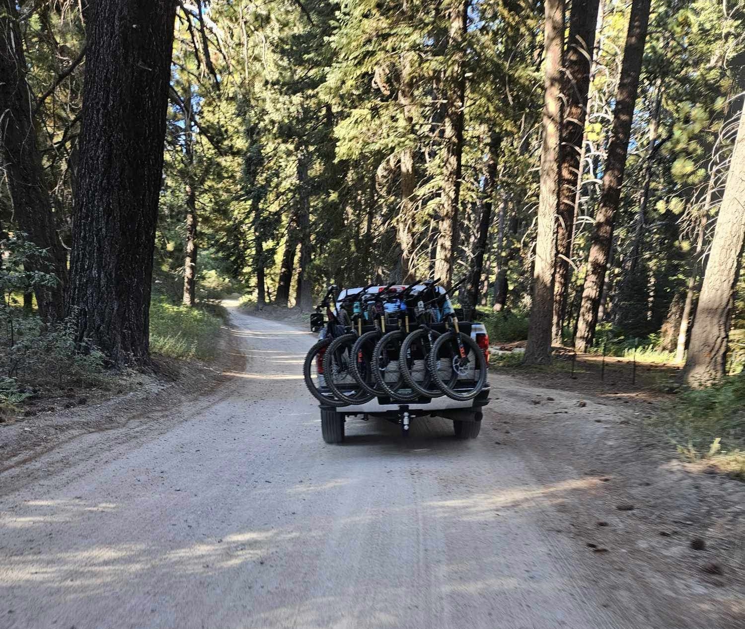
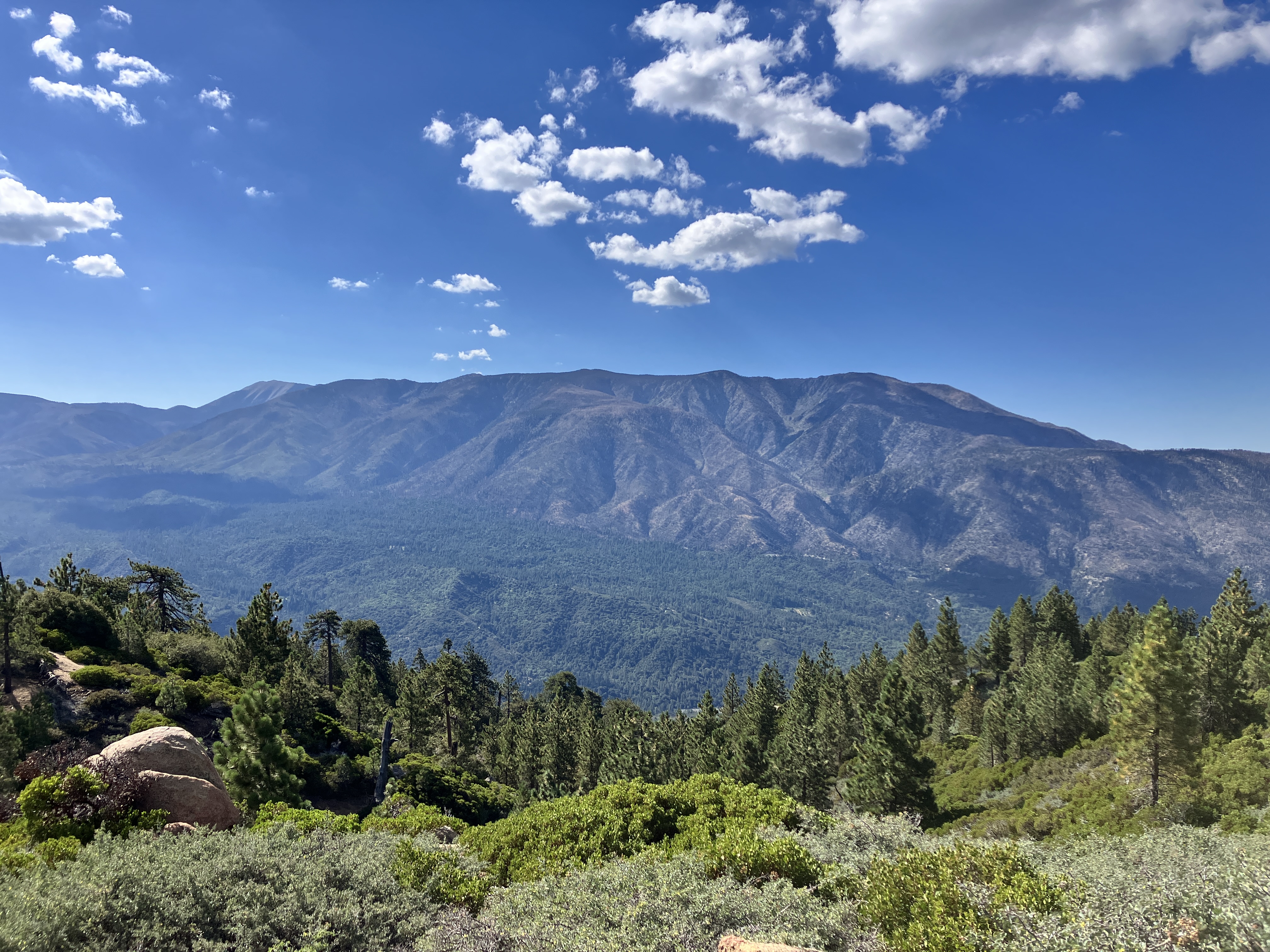
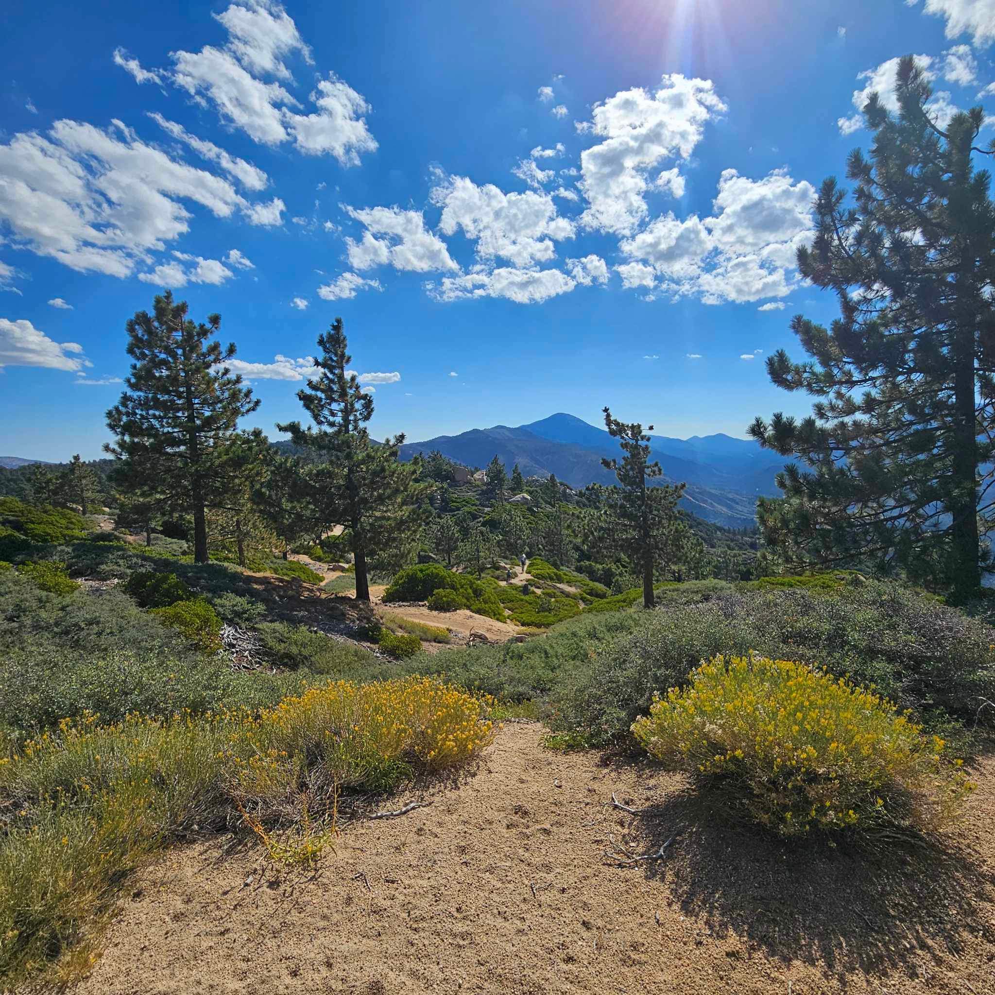
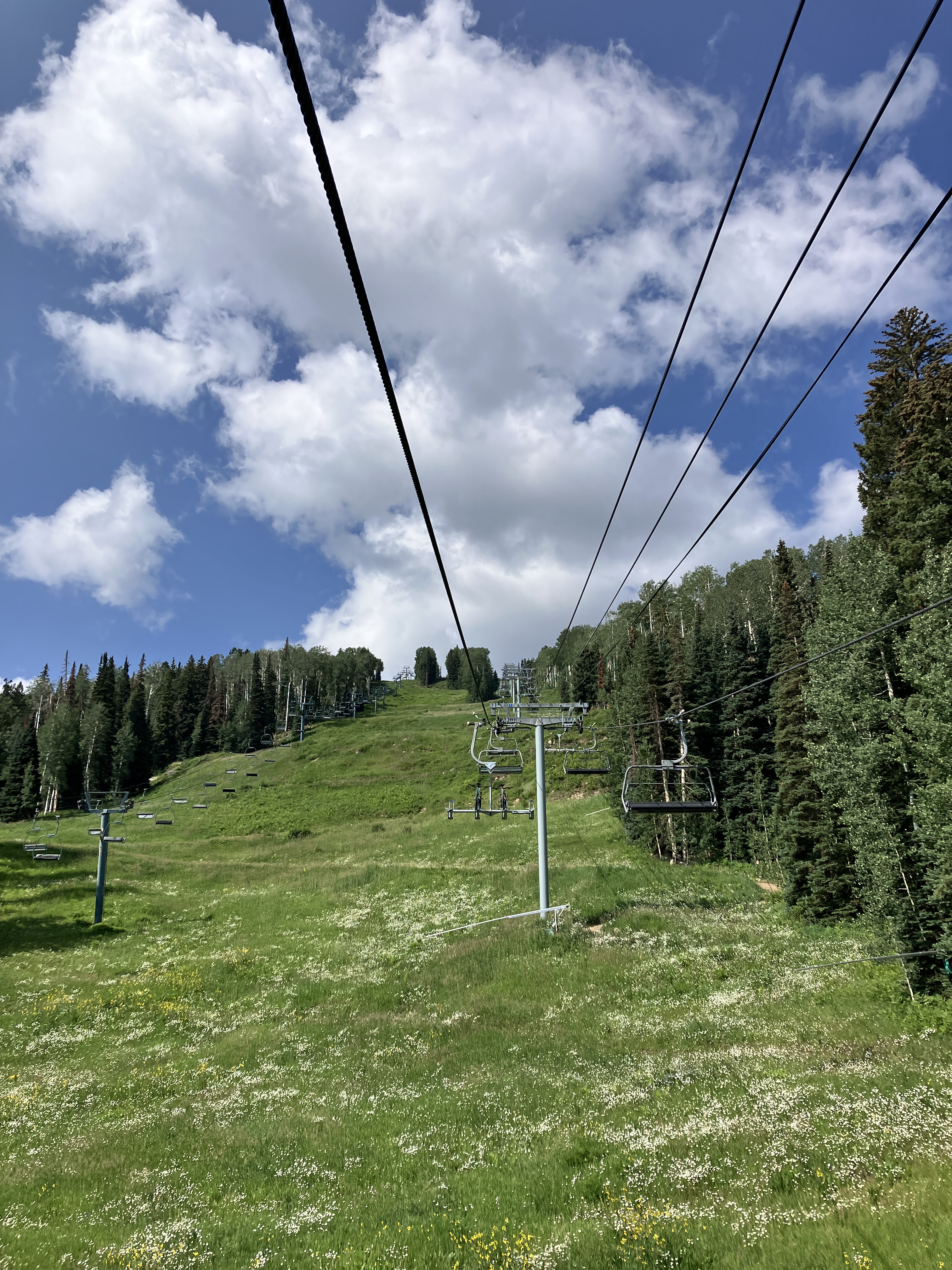
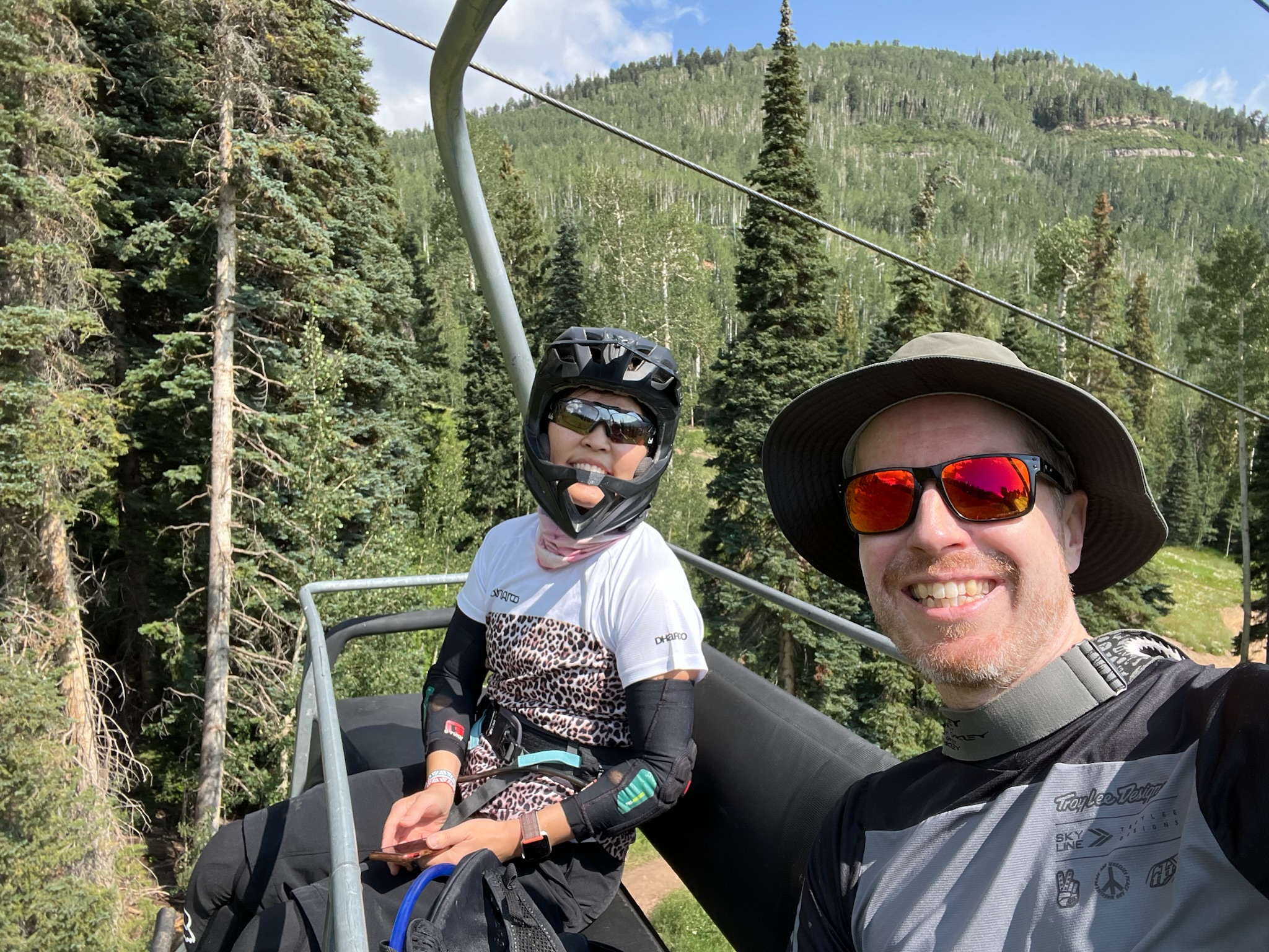
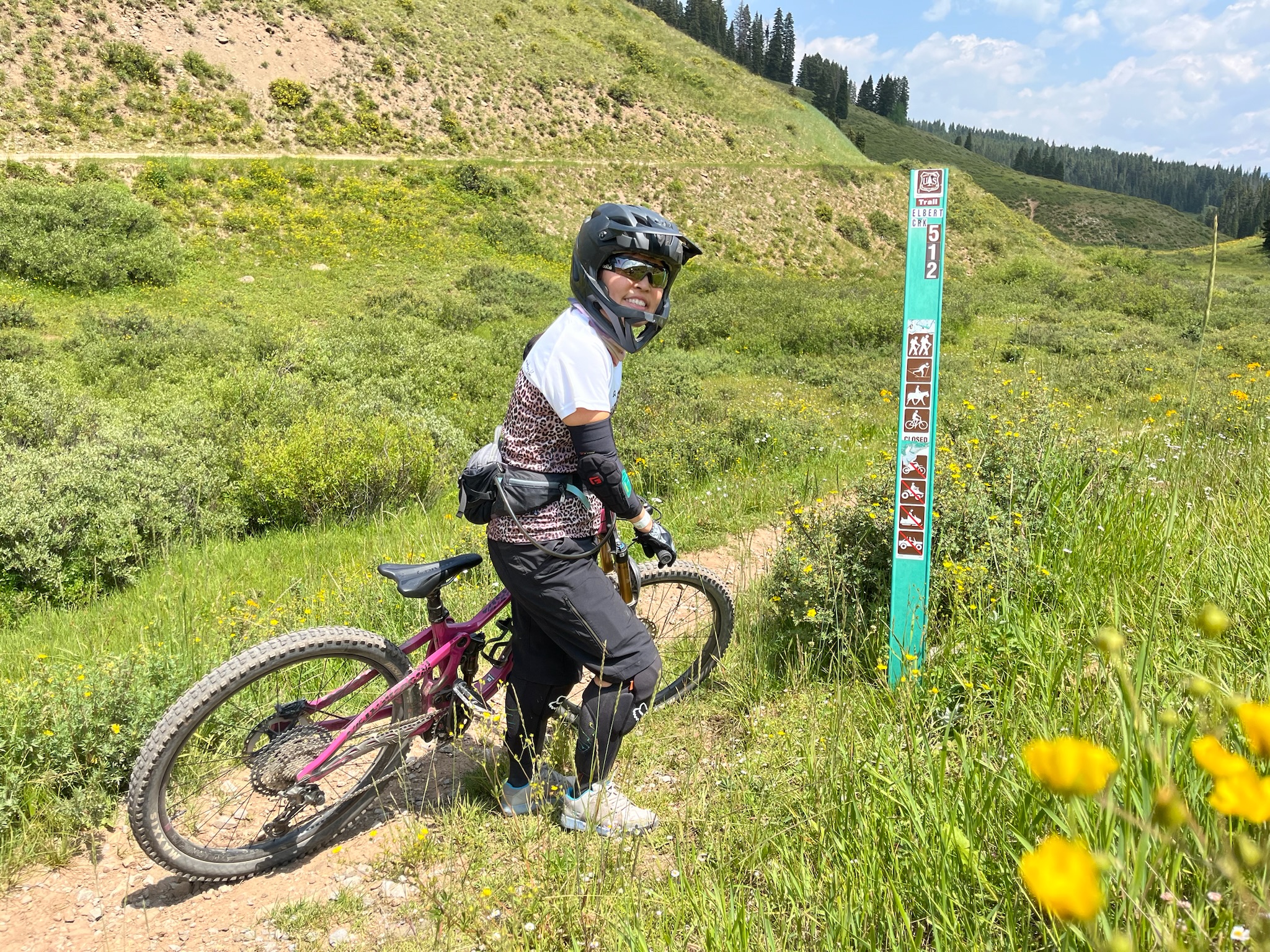
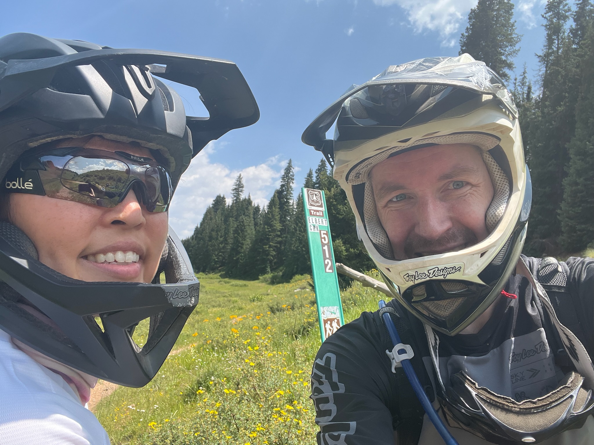
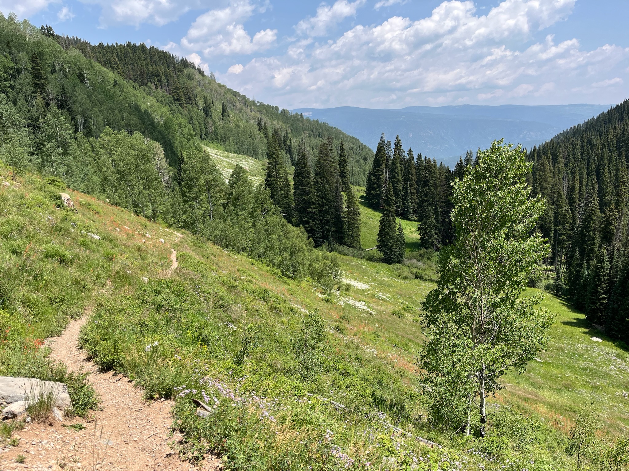
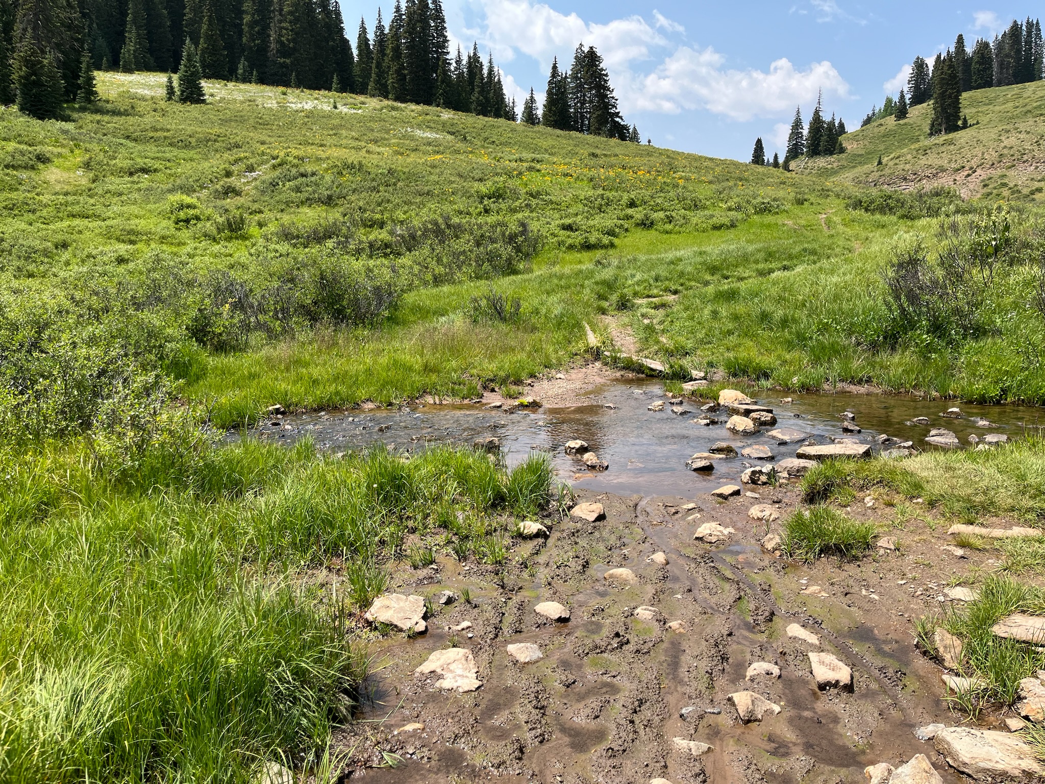
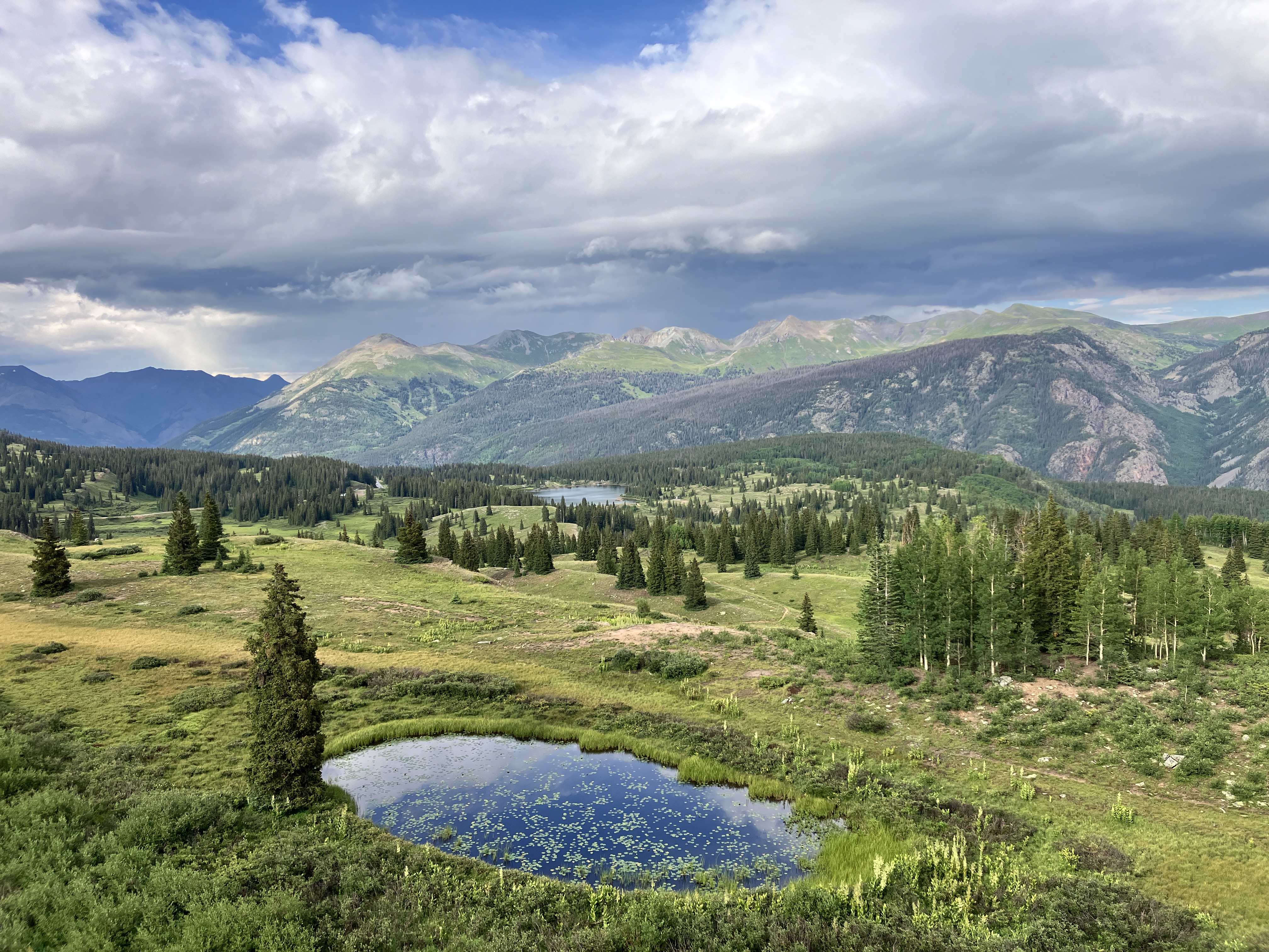
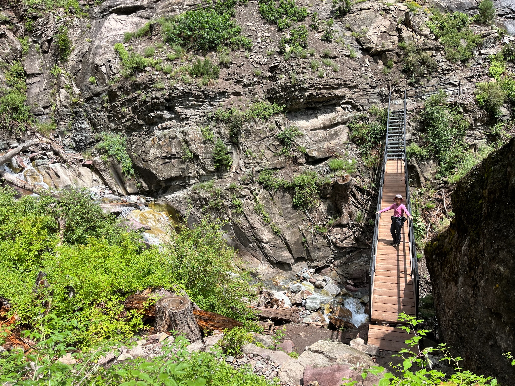
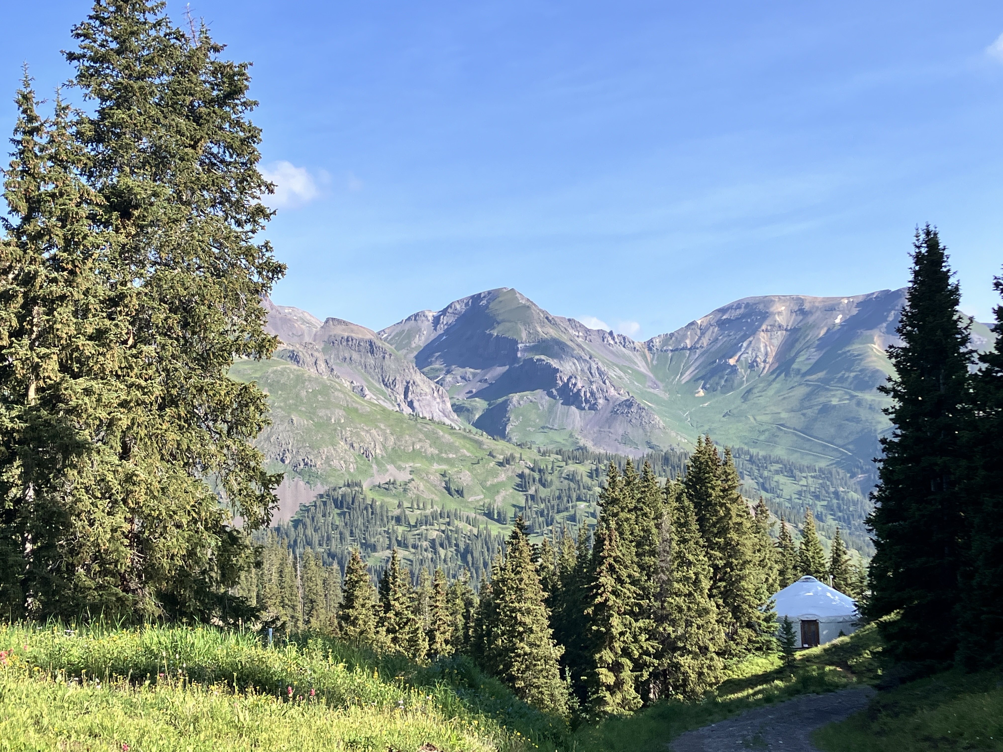
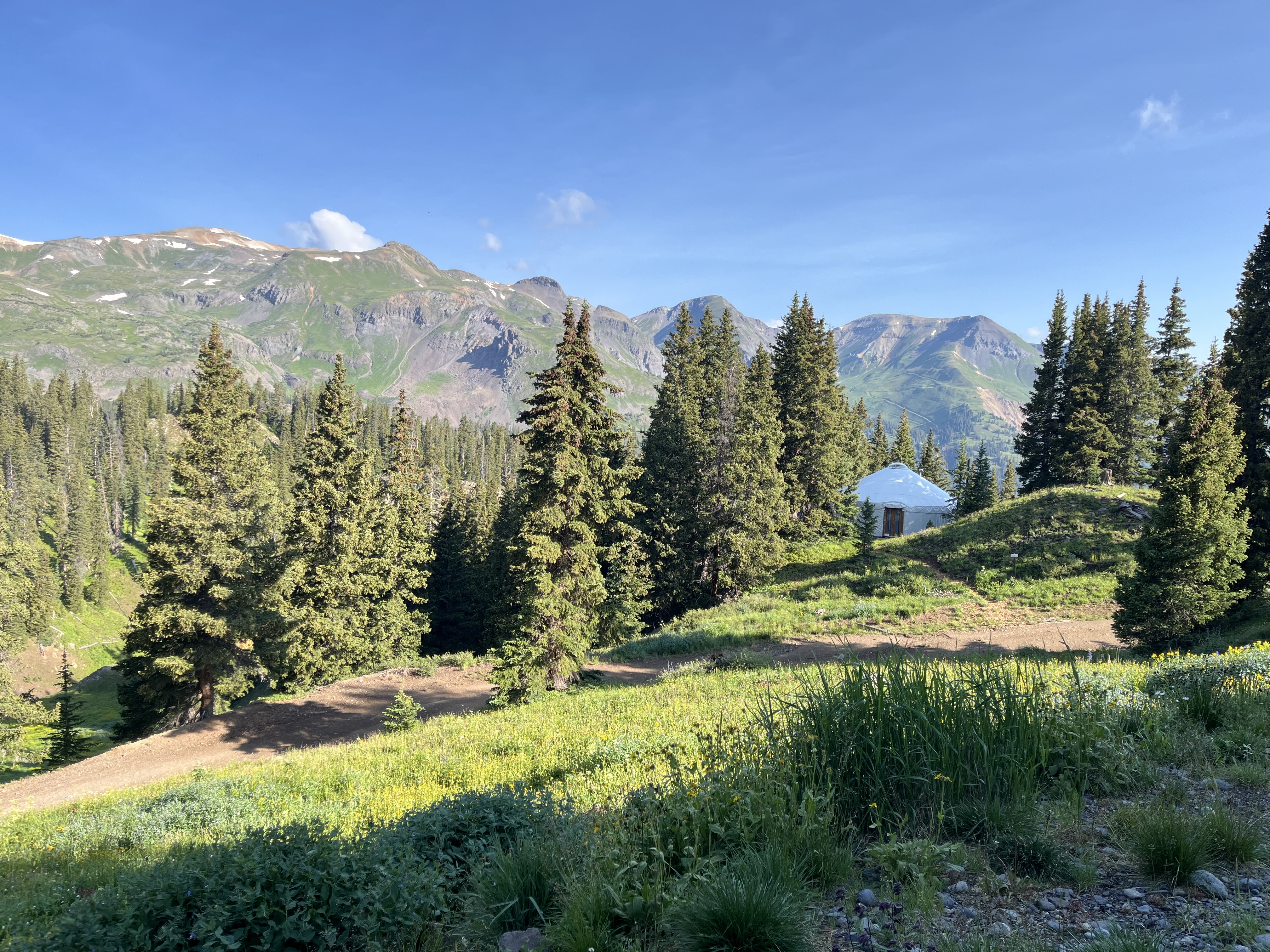
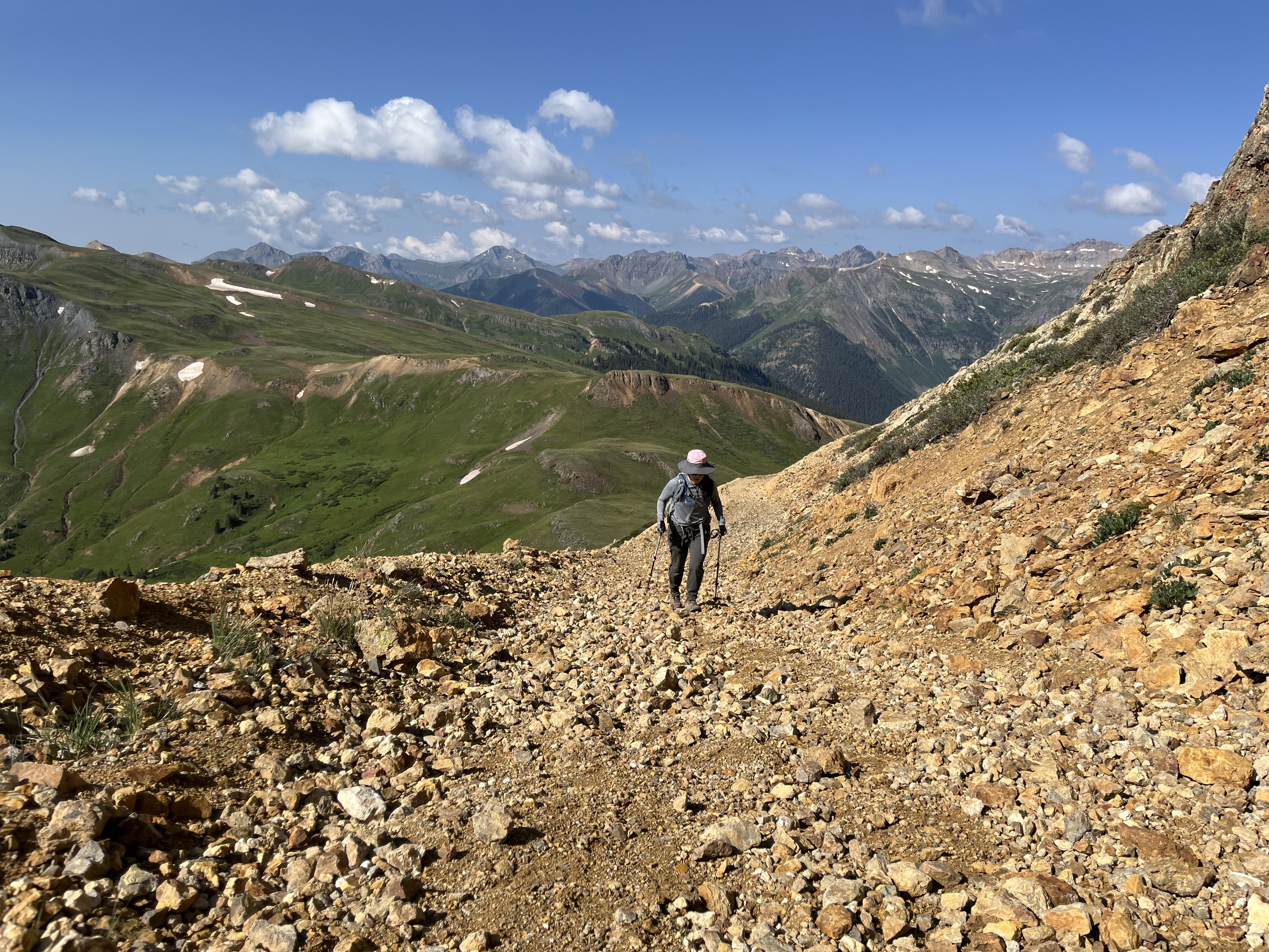
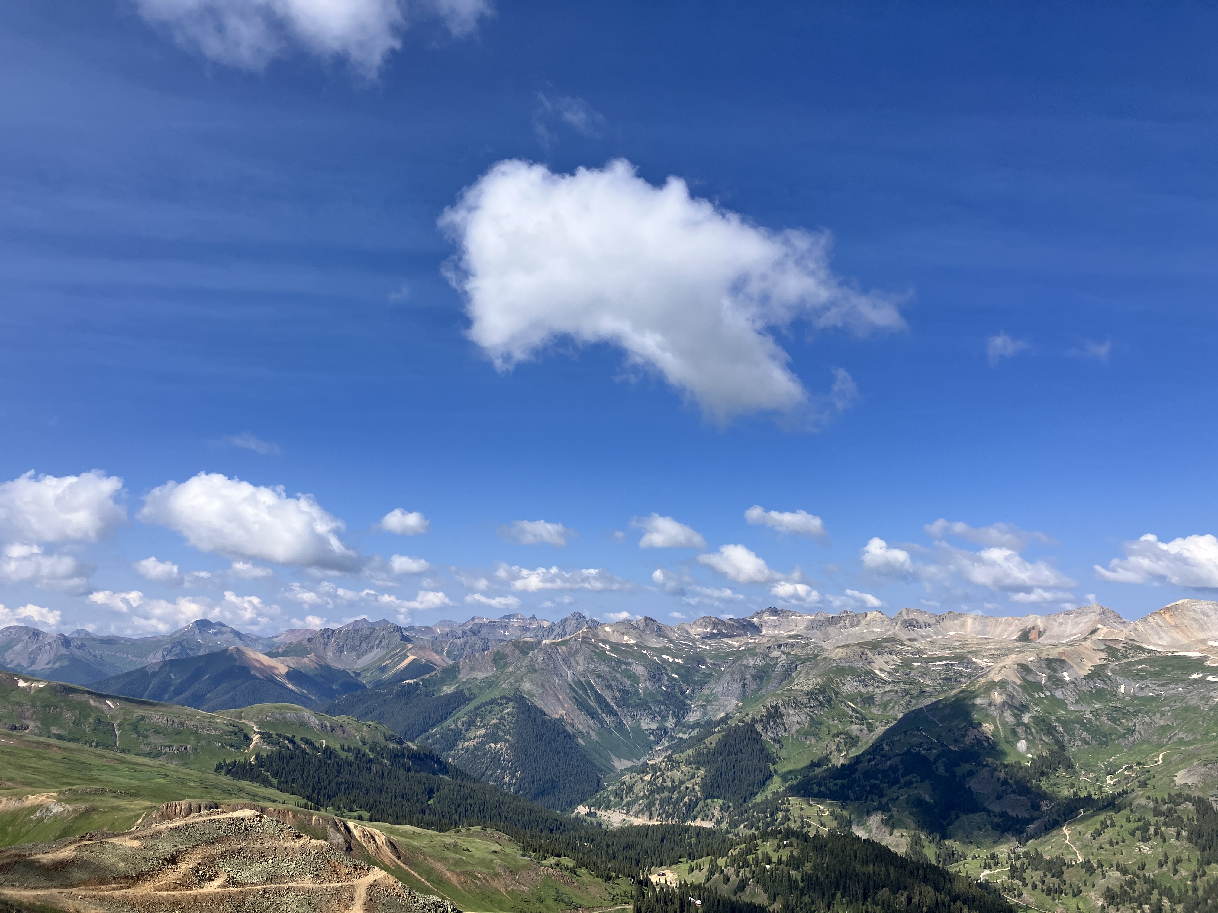
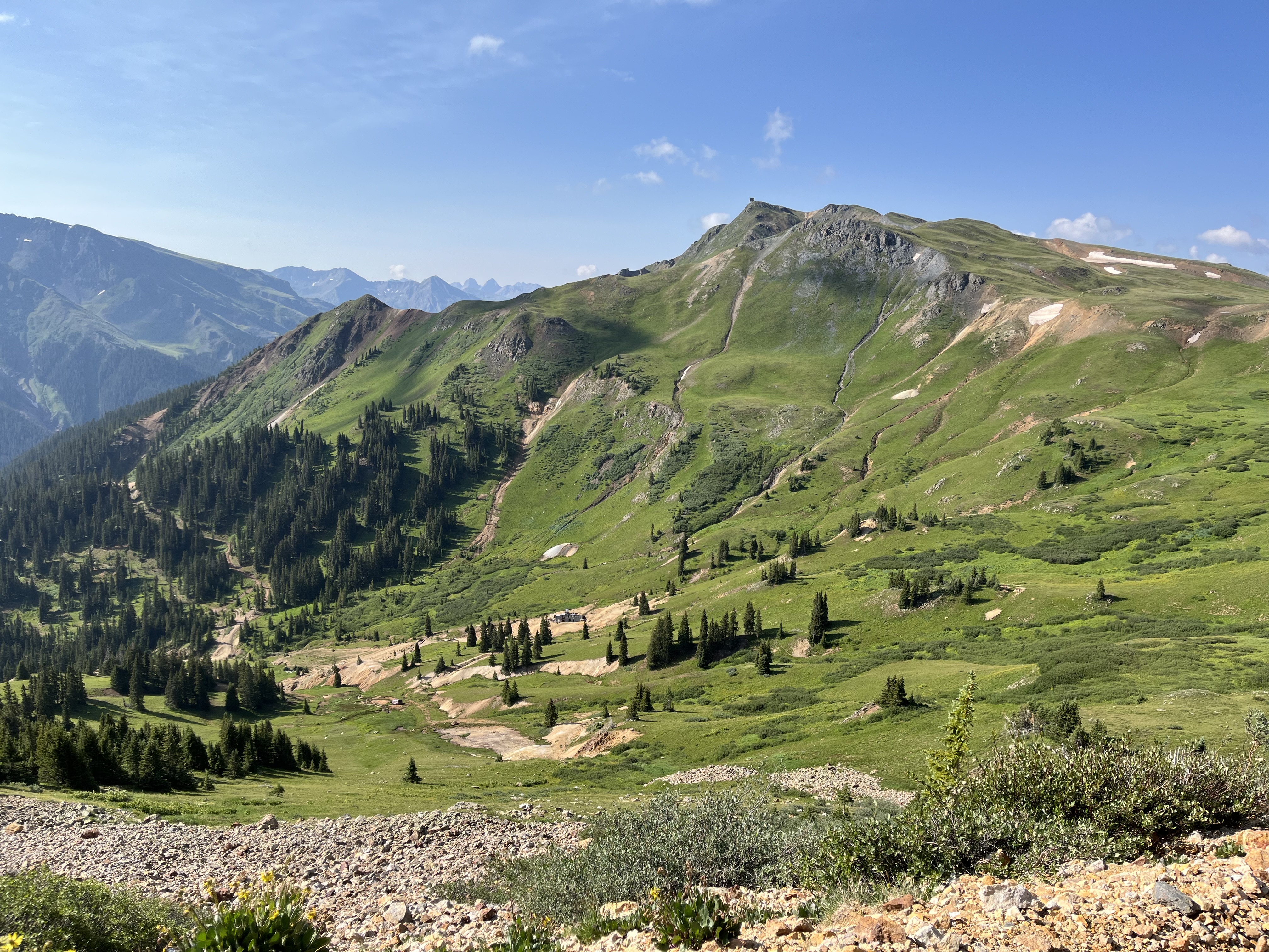
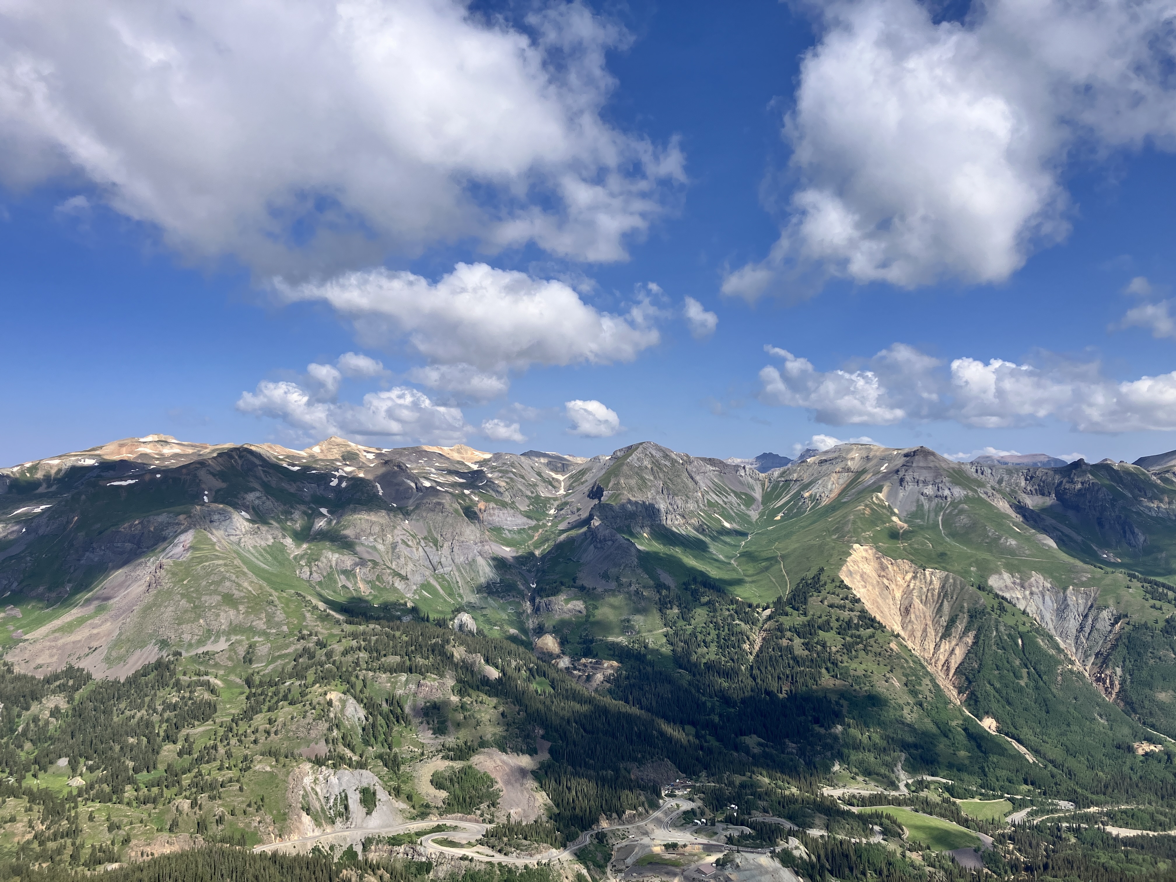
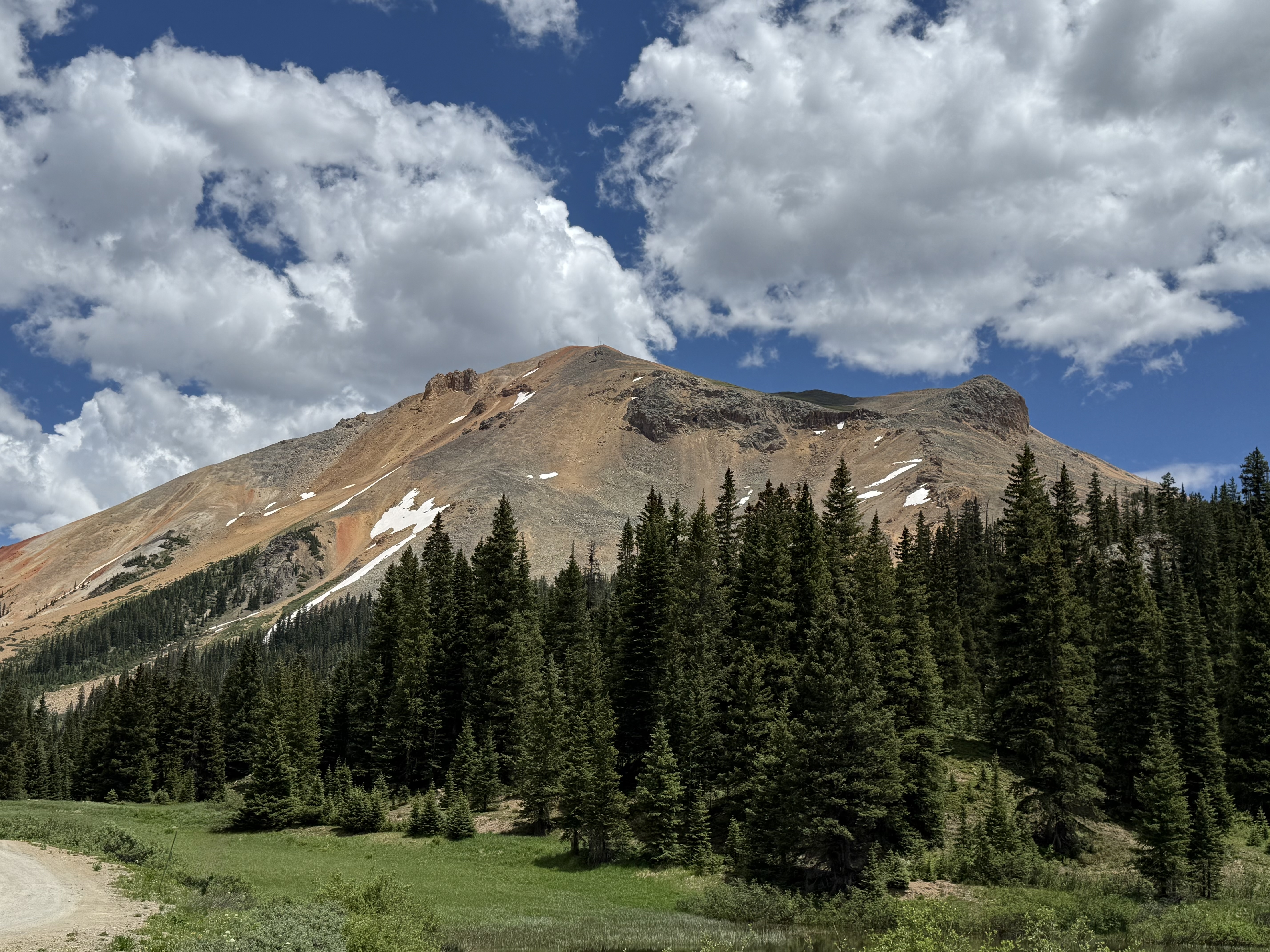
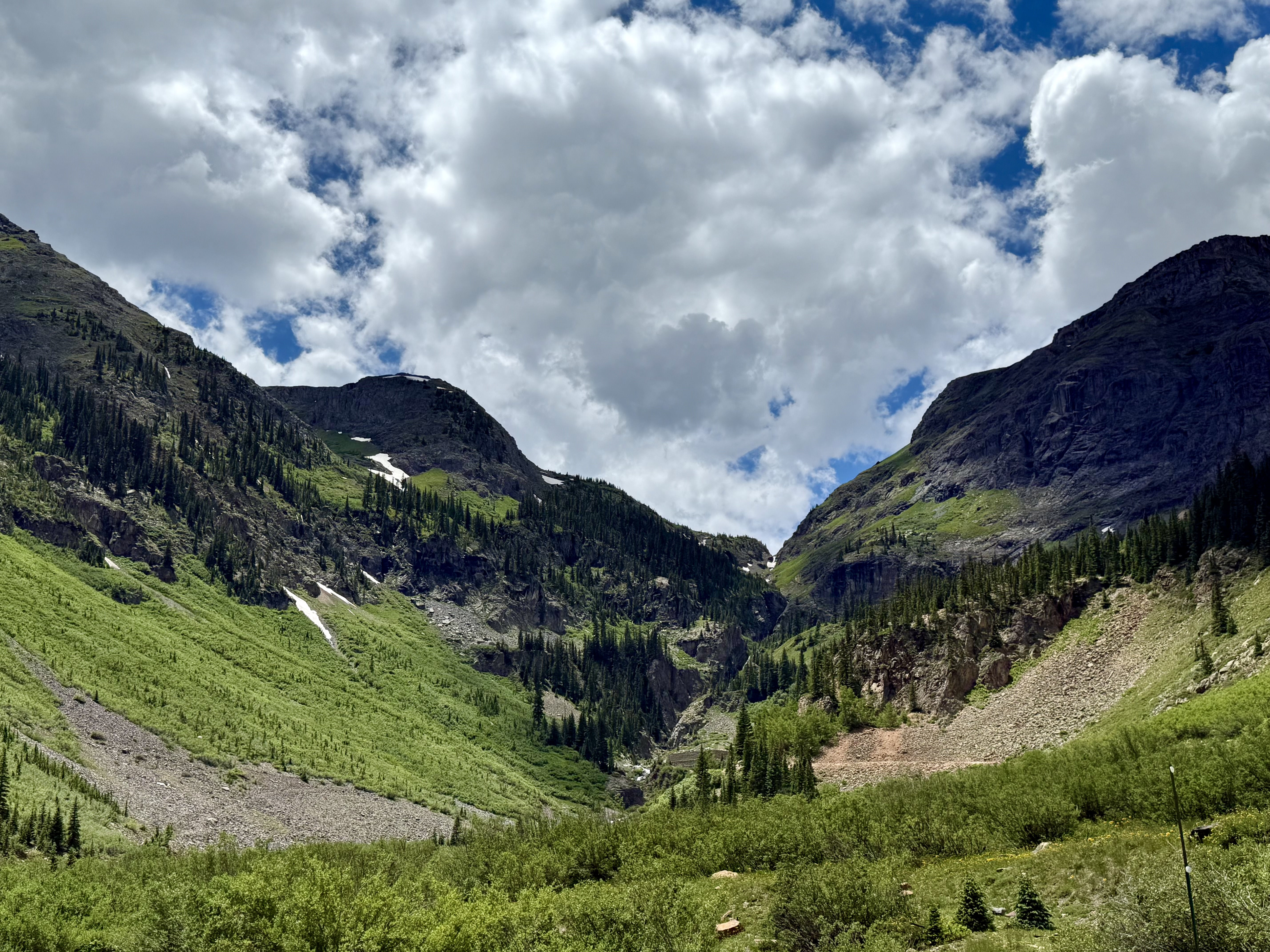
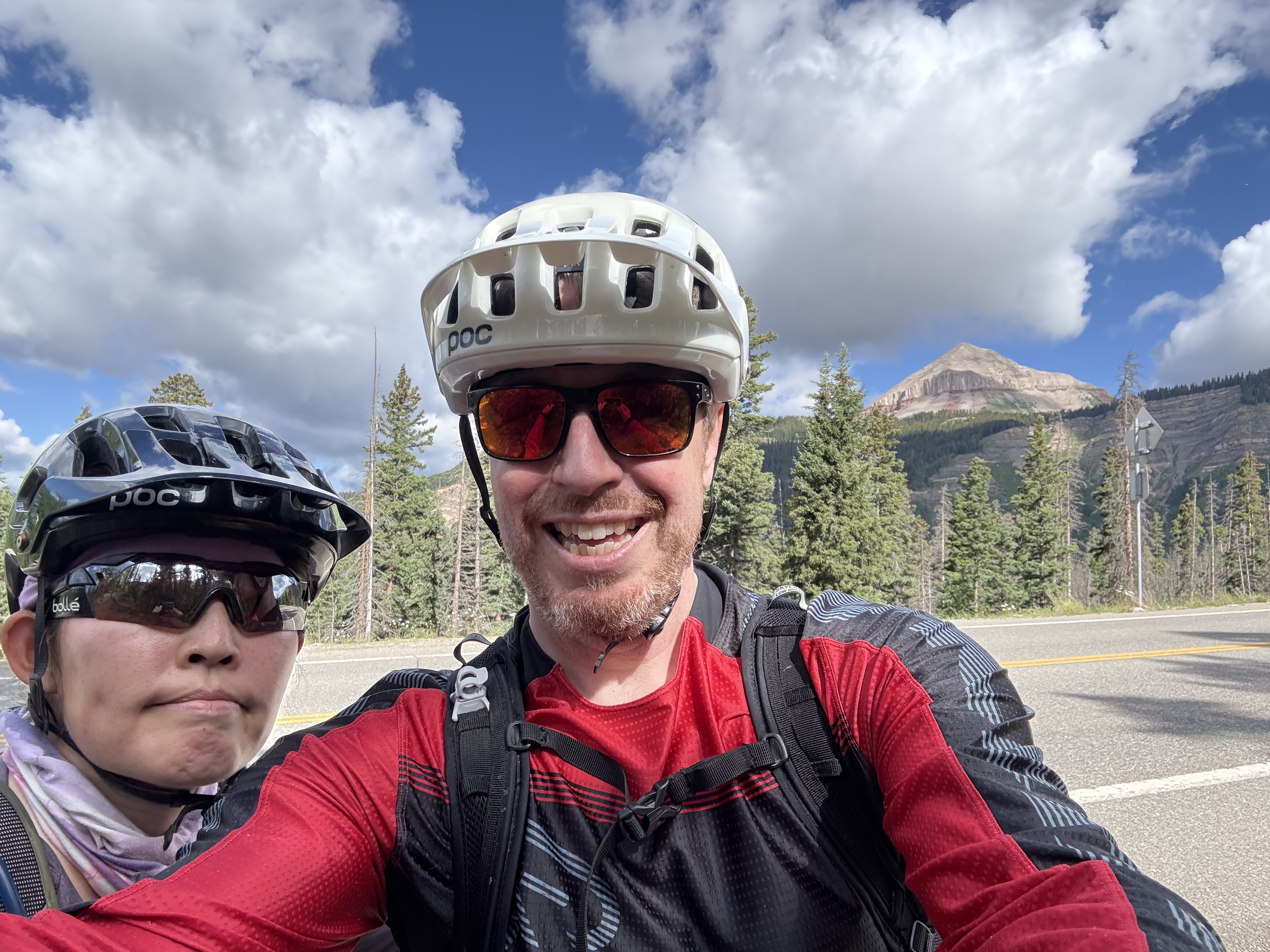
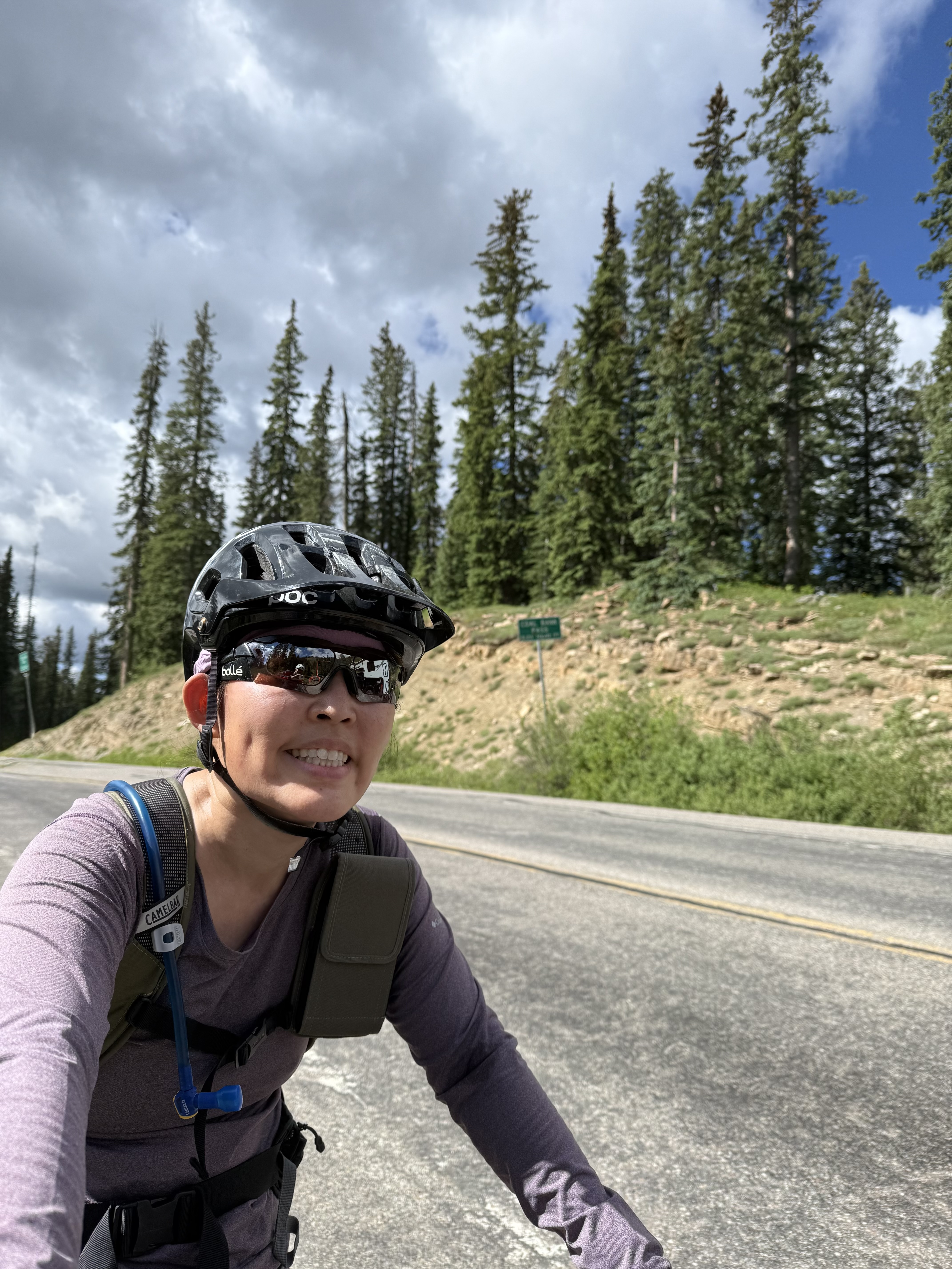
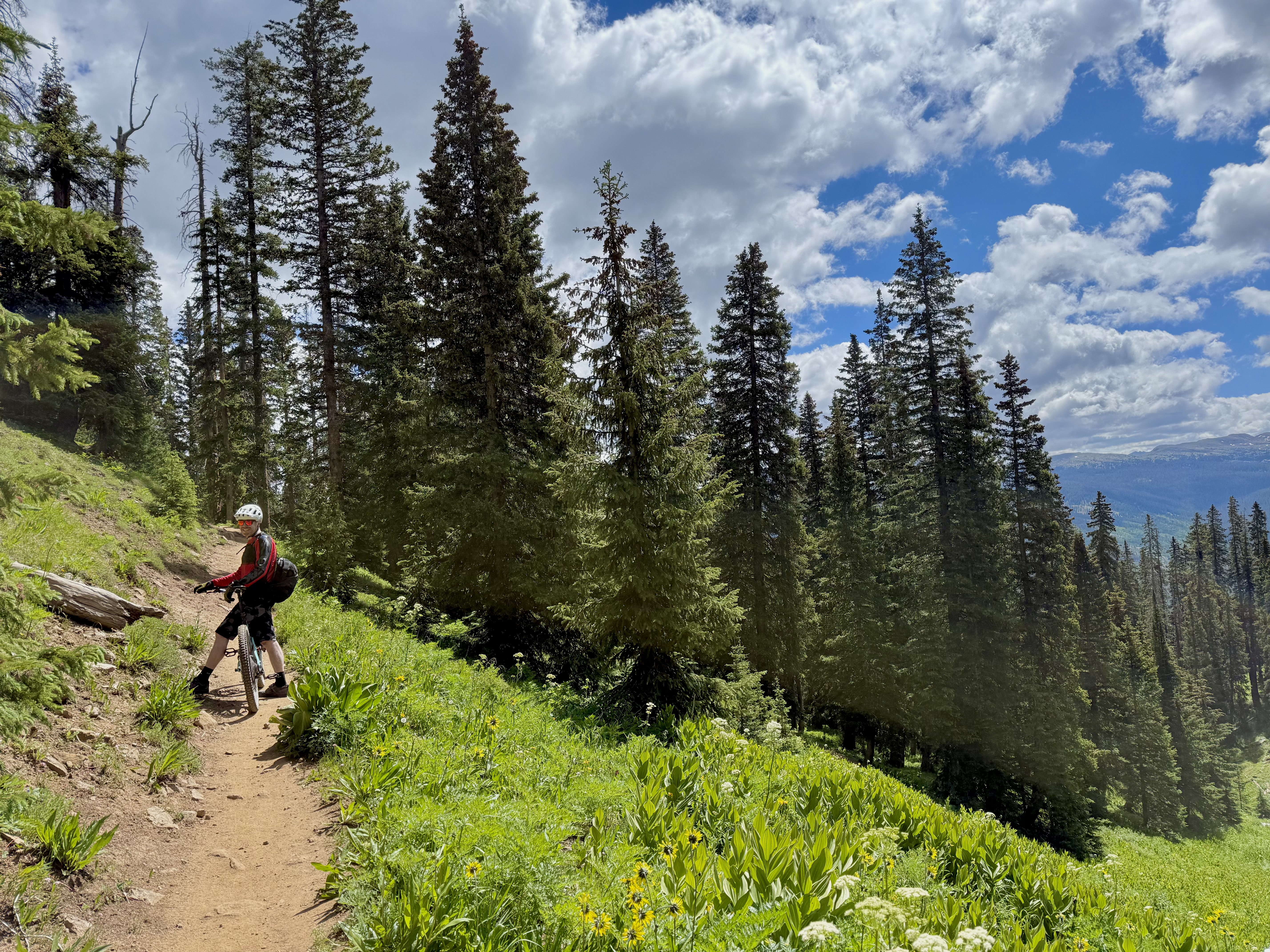
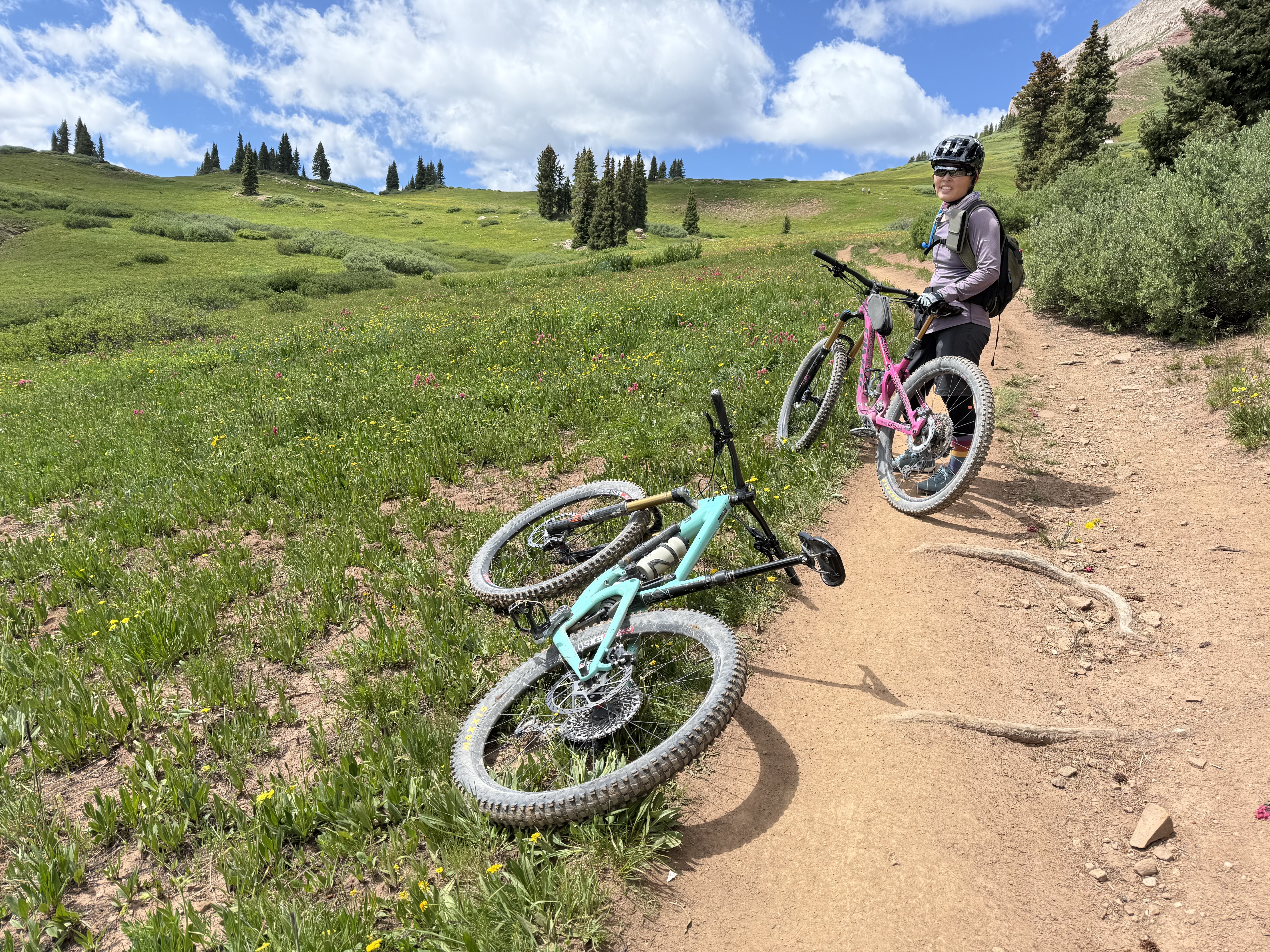
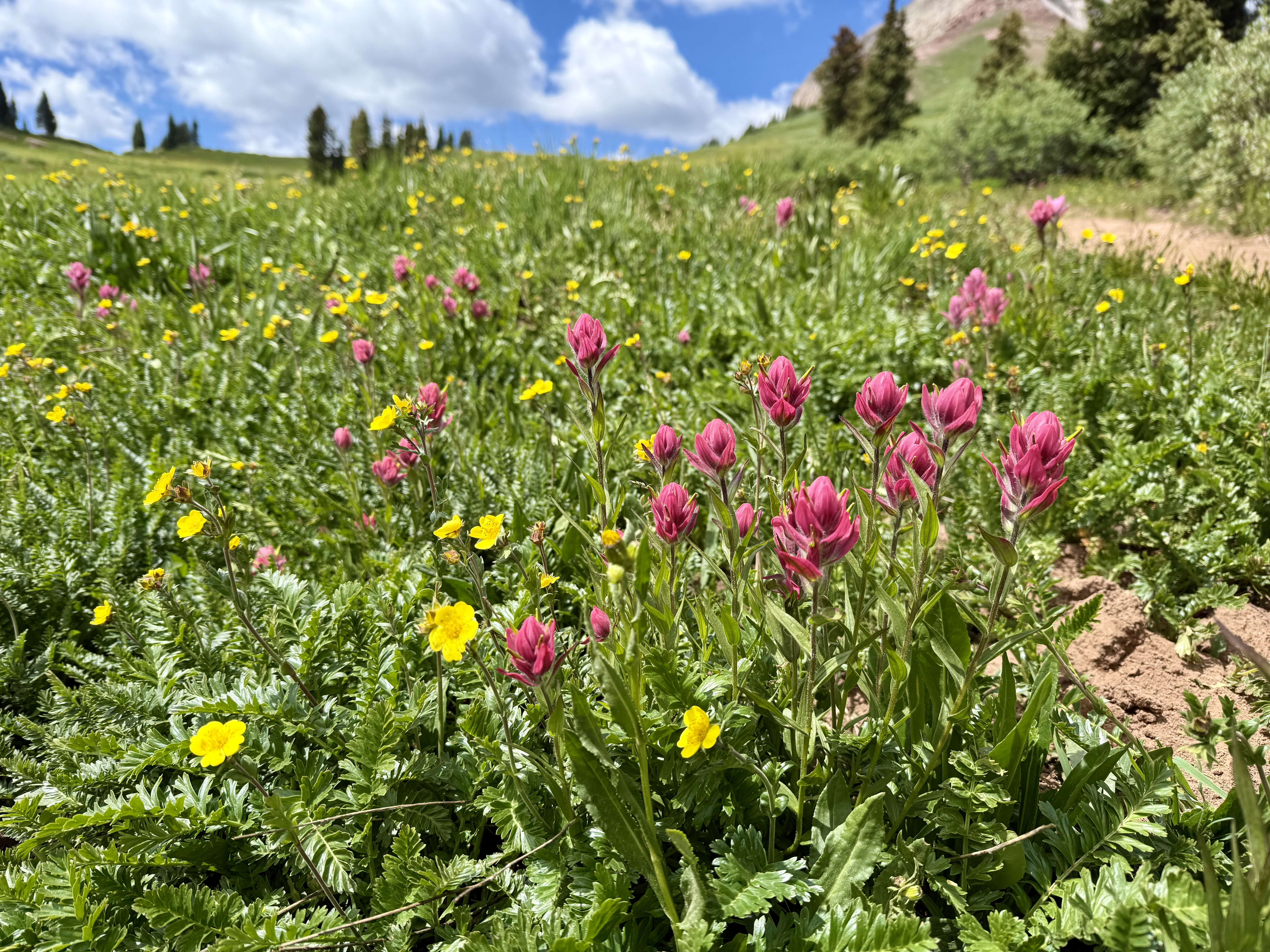
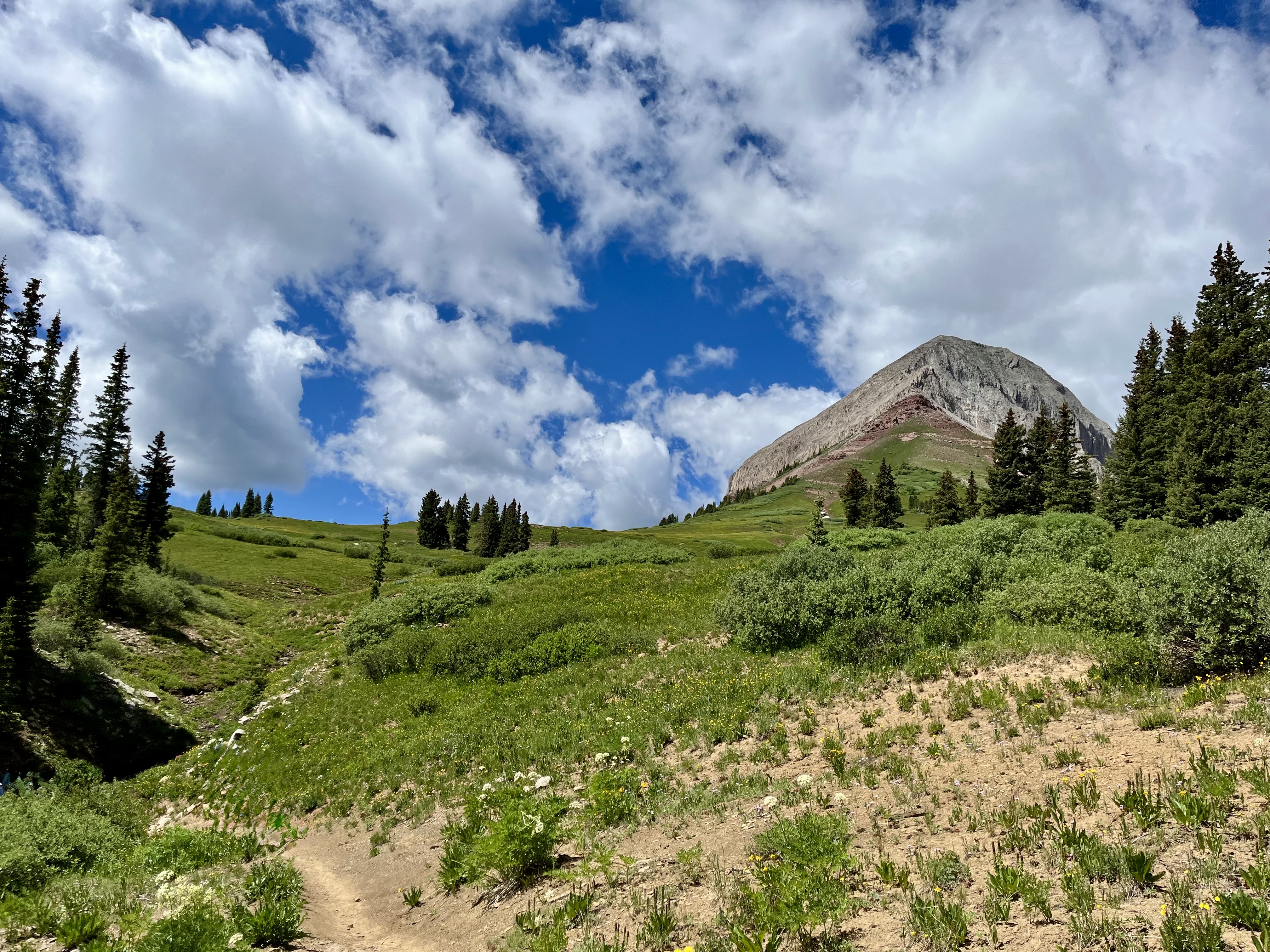
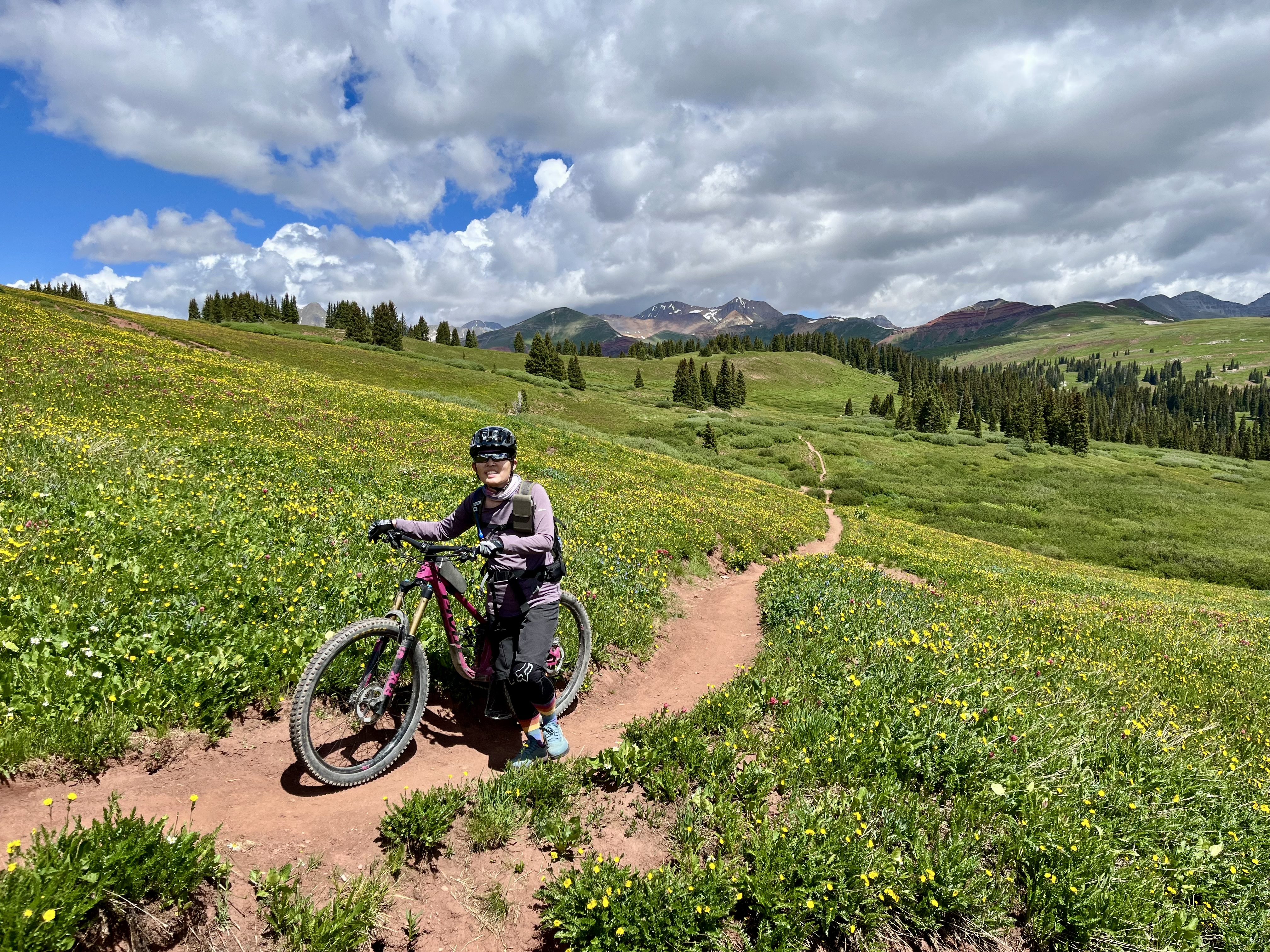
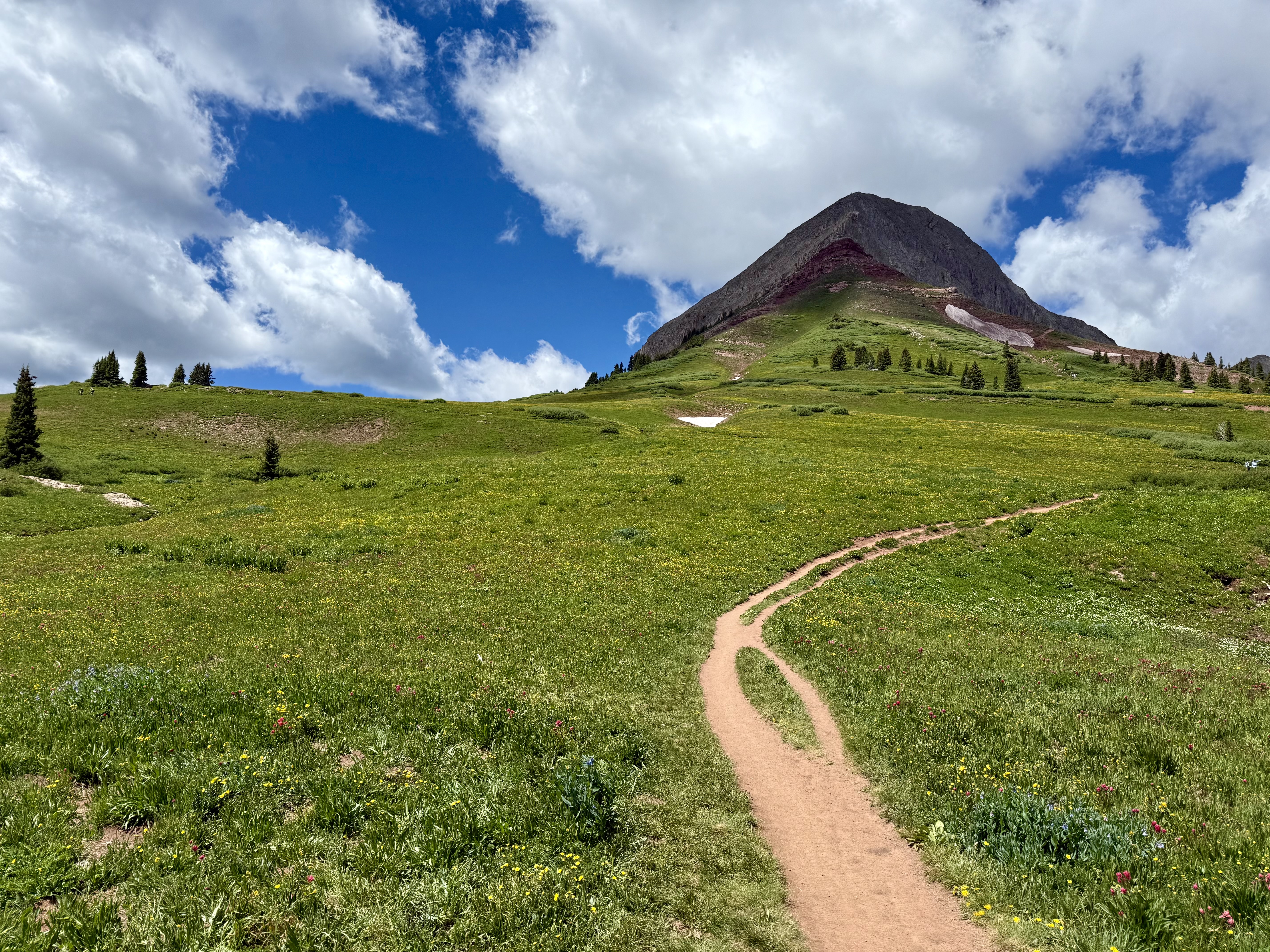
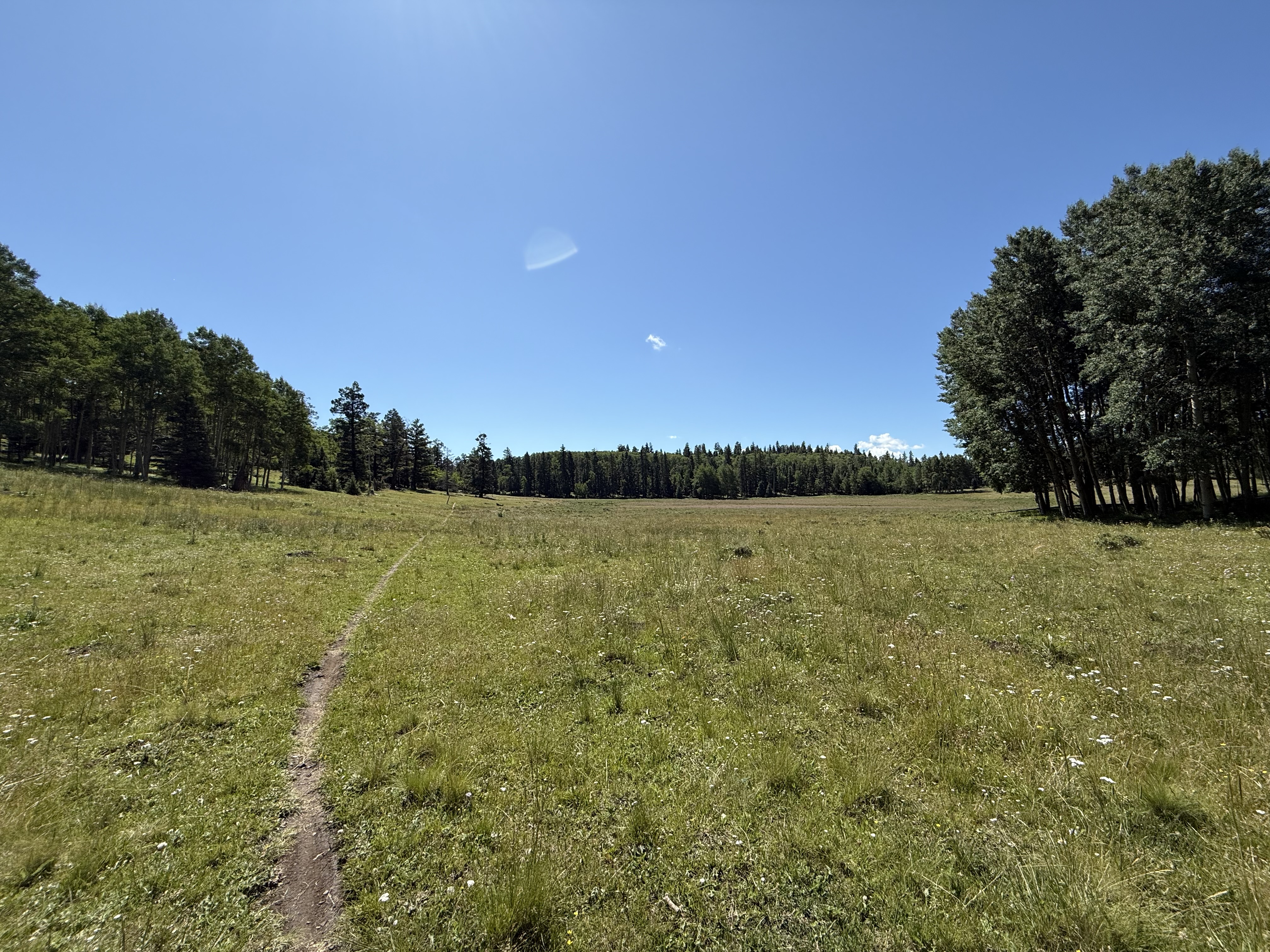
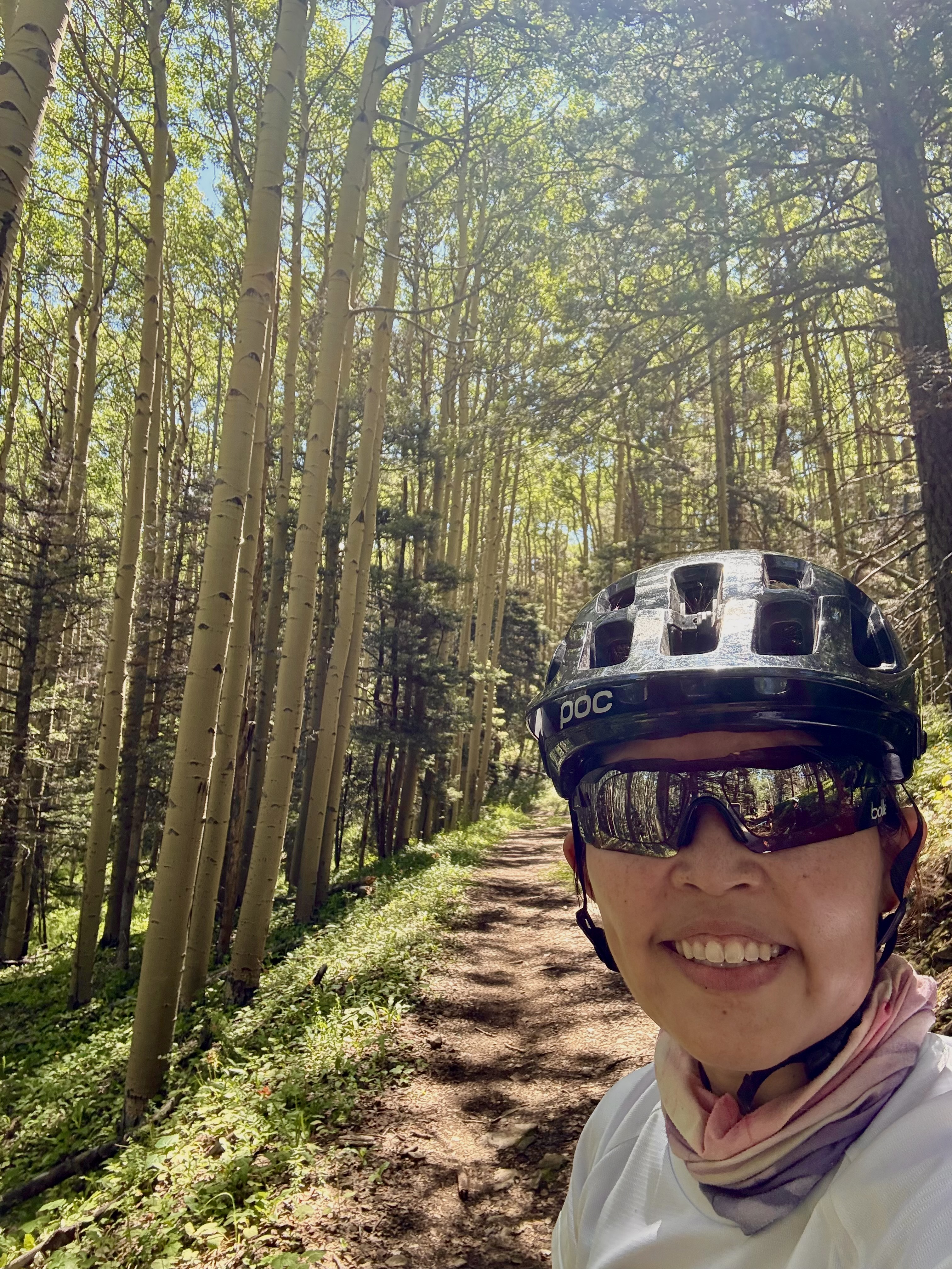
And too soon, it was our last day in Colorado. We decided to ride the well-known Engineer Mountain downhill. My first thought was “what shuttle are we taking?” My second thought was “how long will it take to get to the start of the downhill?” Unfortunately for me, my SAT’s answers to my 2 questions were “we are going to self-shuttle!” and “as long as it takes us.” Have you heard of a self-shuttle? It’s kind of what it sounds like. In our case, instead of paying a shuttle van service to drive us to the start of the trail, we parked our truck where we would end the ride, then rode our bikes uphill on highway 550 for 4.5 miles (a single lane highway with no shoulder and some exposure!) to Coal Bank Pass. Then, from there, we started riding uphill on the Pass Trail for another 2 miles or so. I think we climbed almost 2,800 ft (850 m) AT ALTITUDE before we finally made it to the start of the downhill. Although a 2,800 ft climb is a very respectable mountain bike climb, doing that at altitude made it really hard. At least for me.
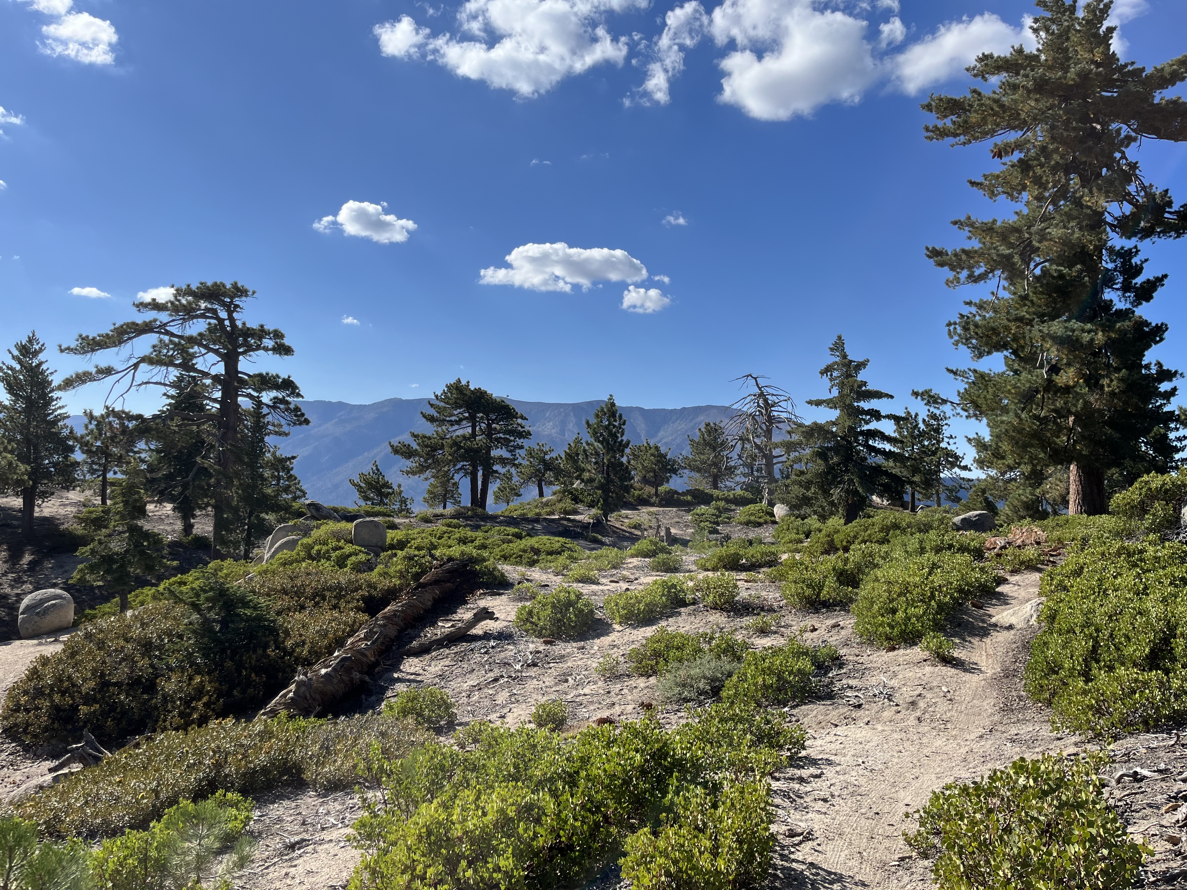
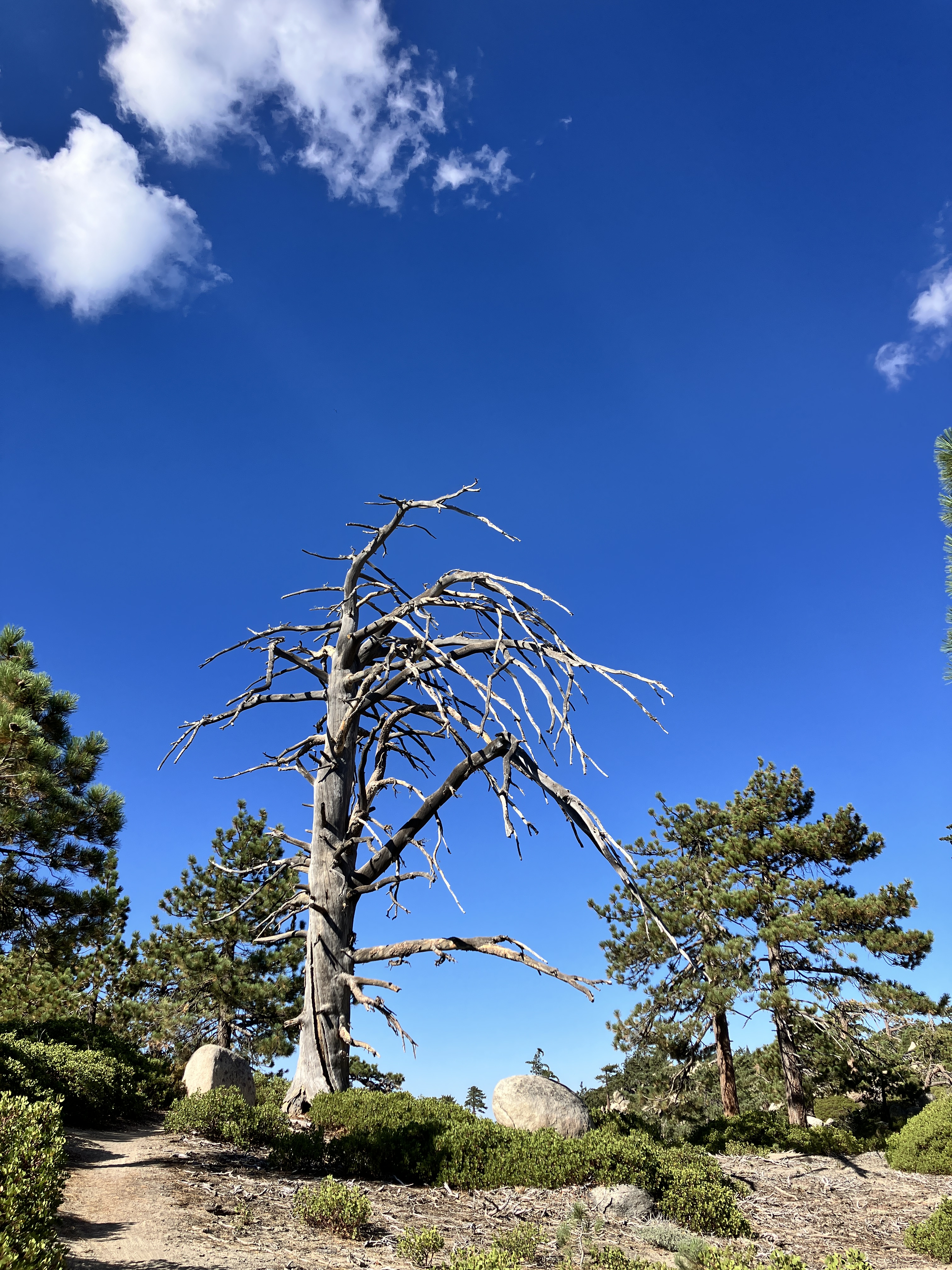
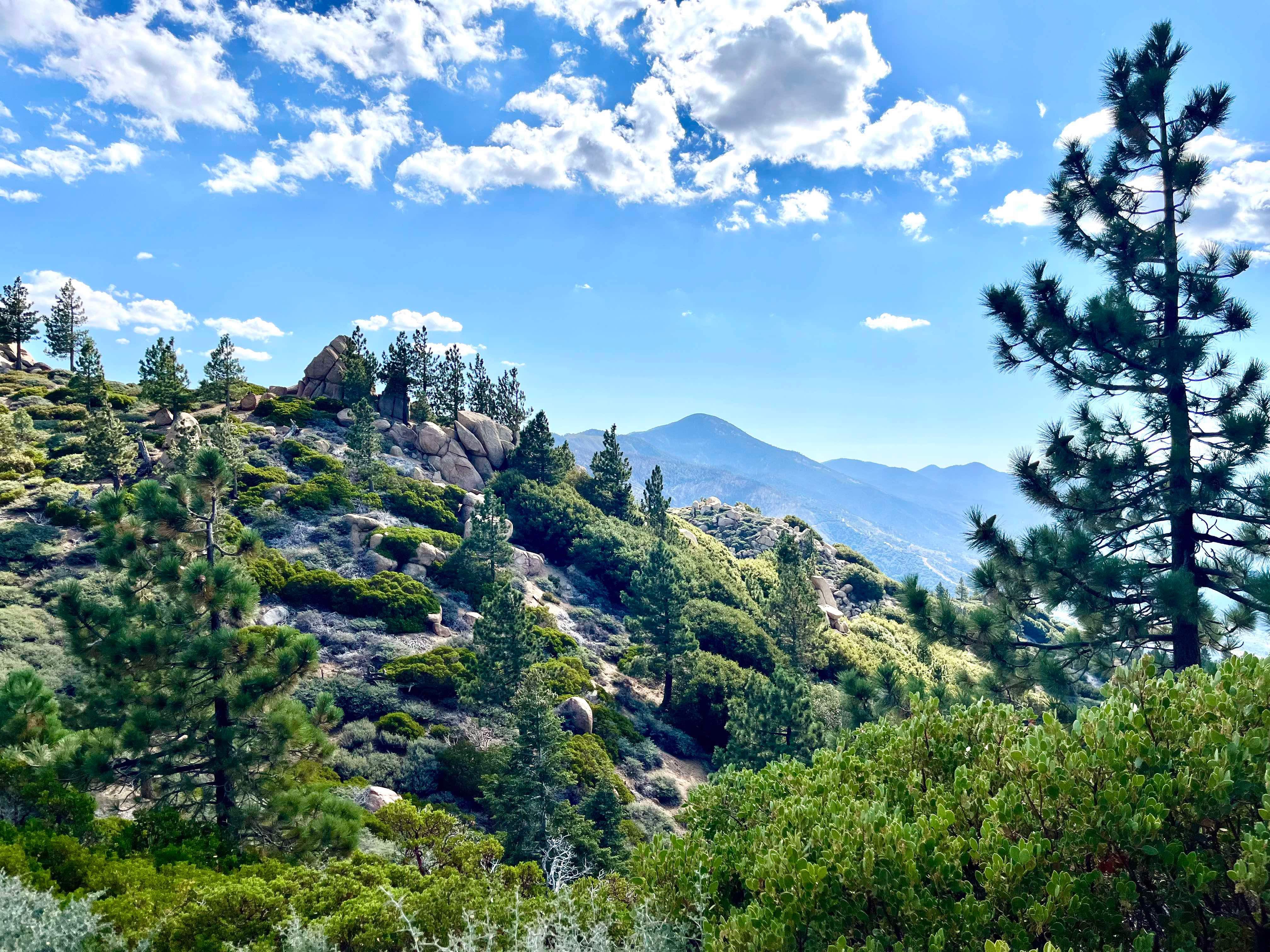
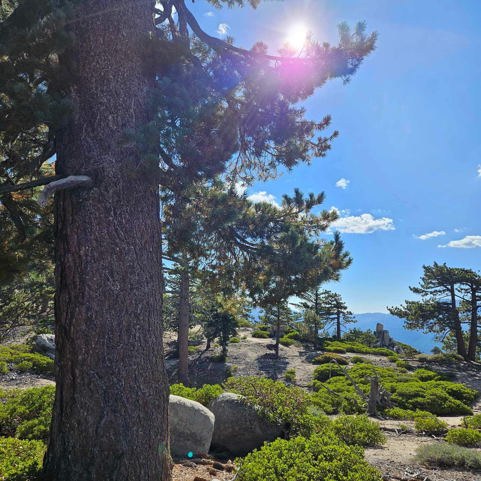
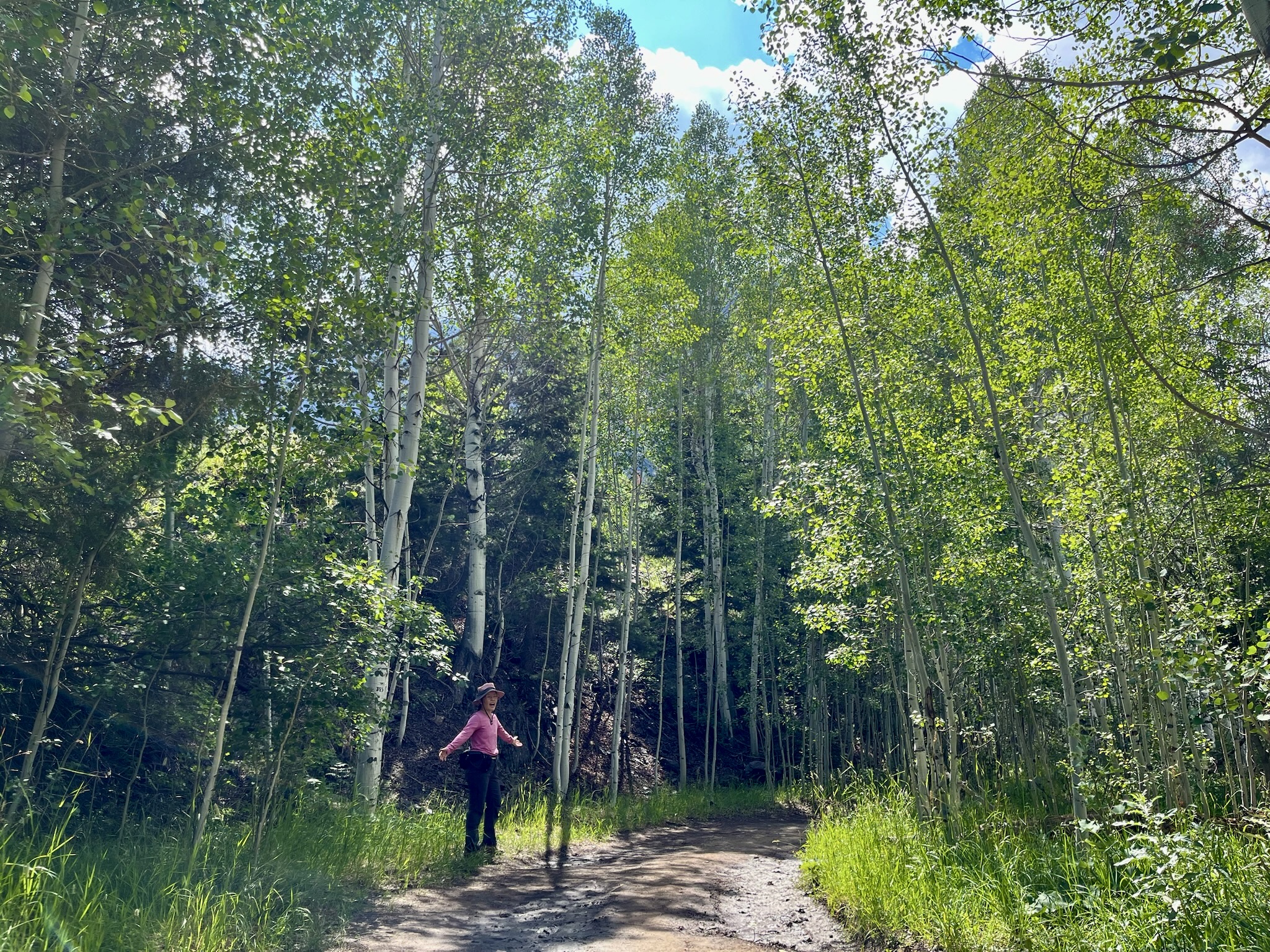
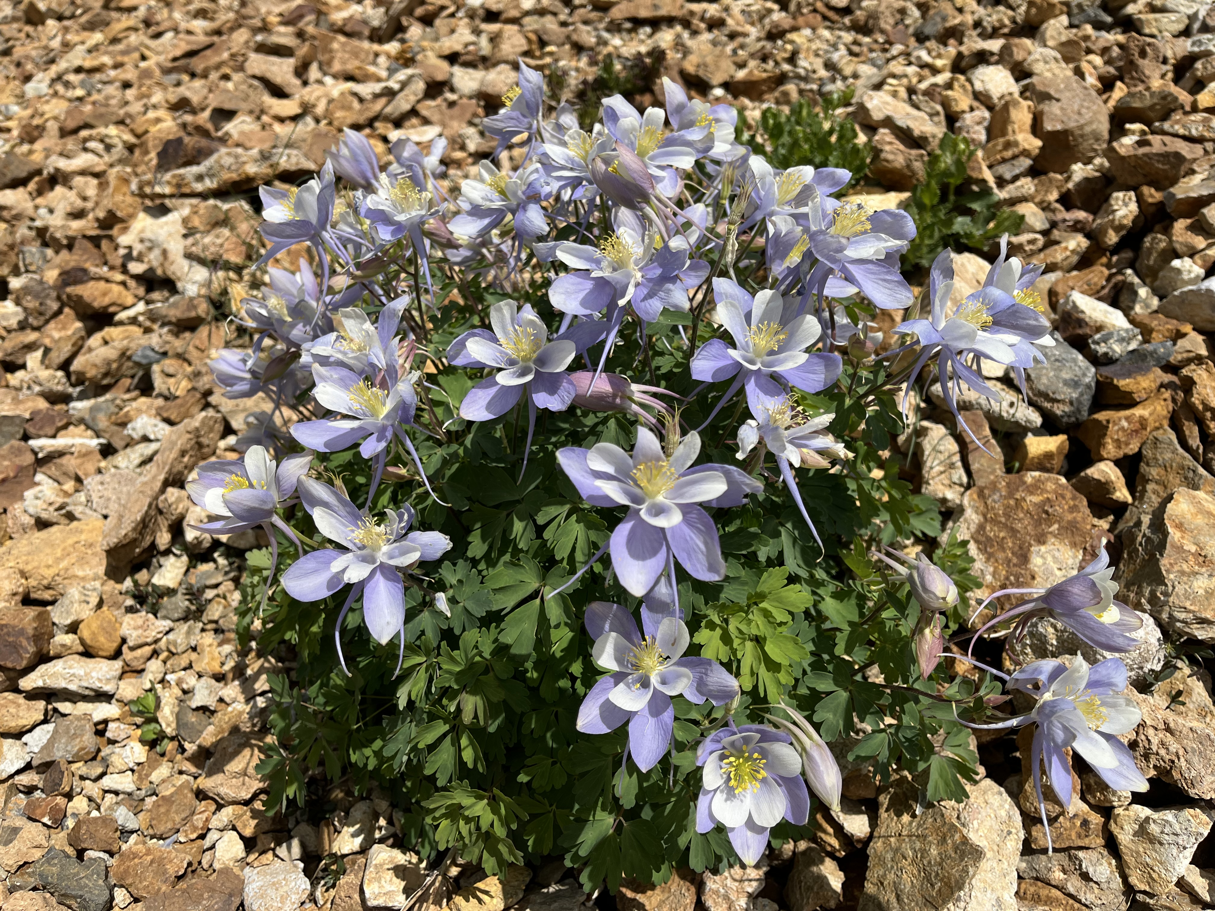
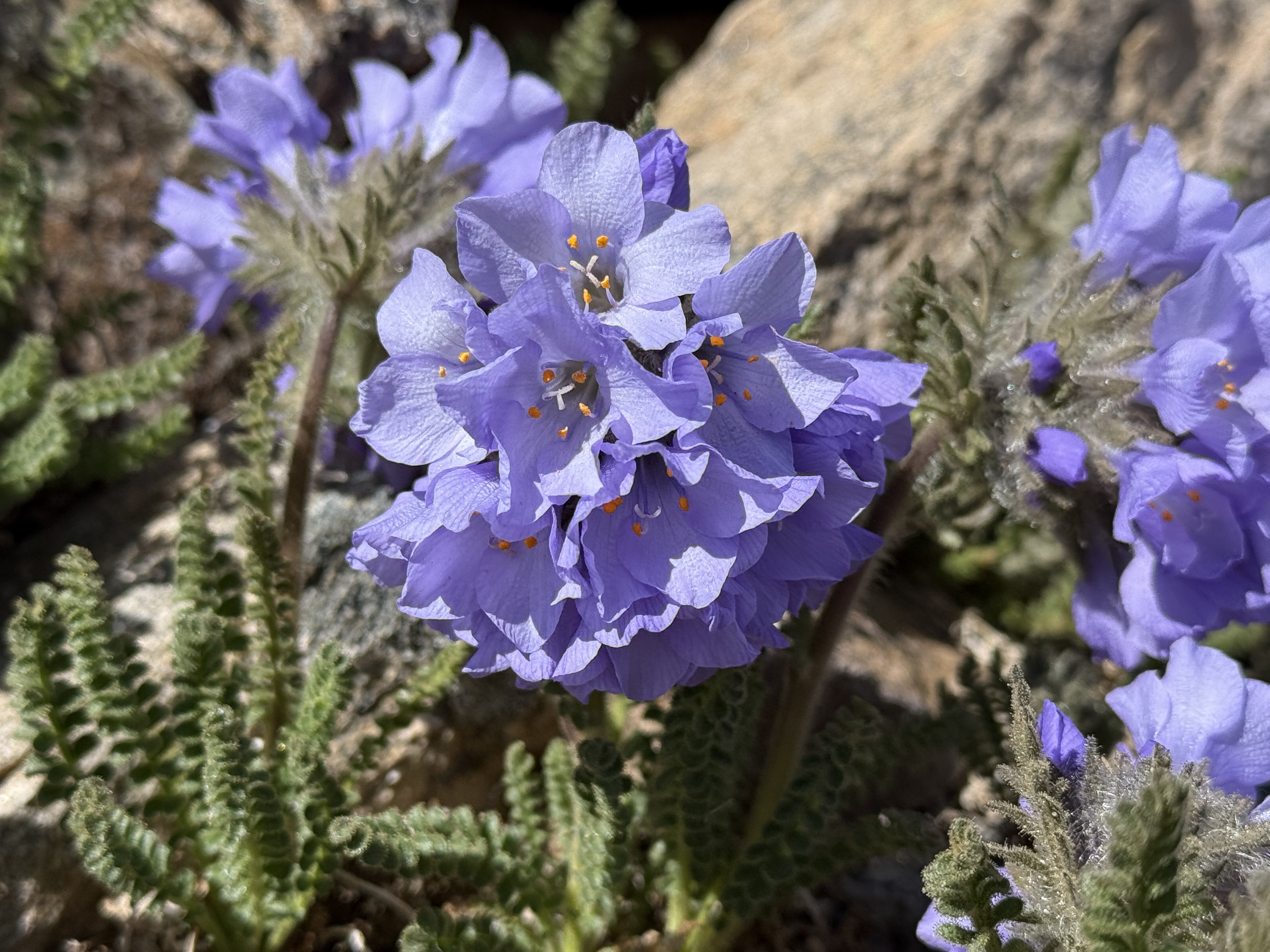
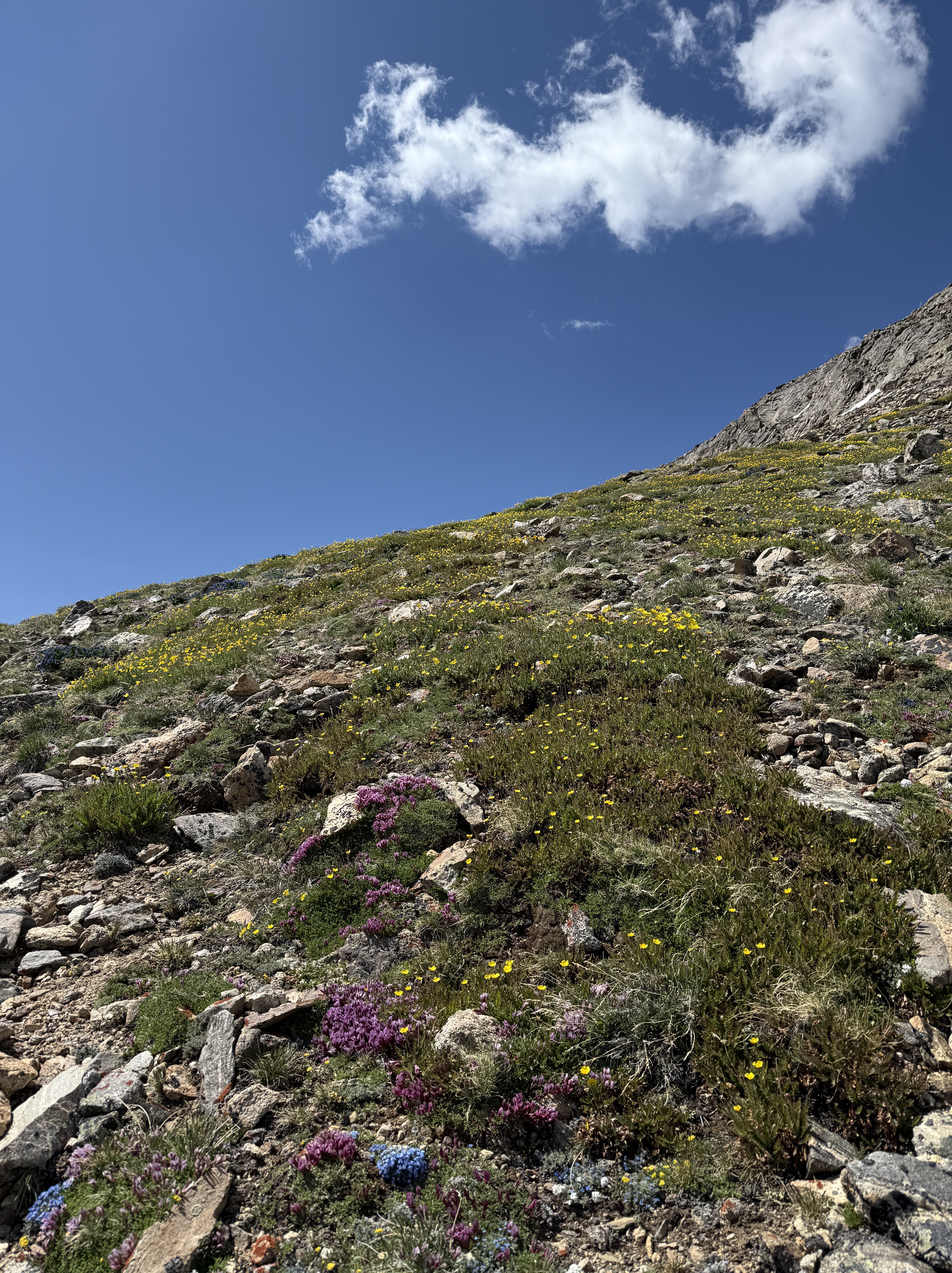
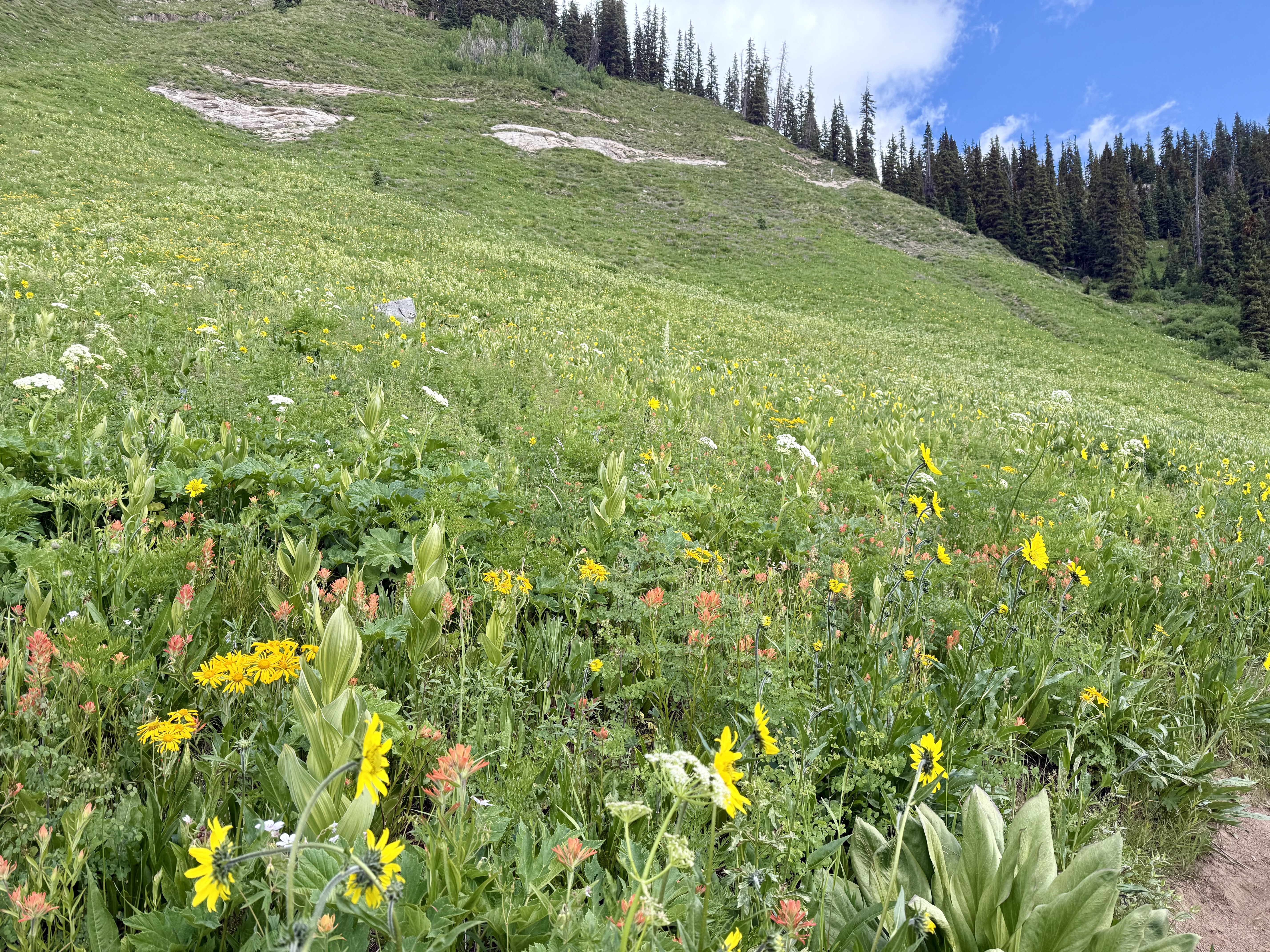
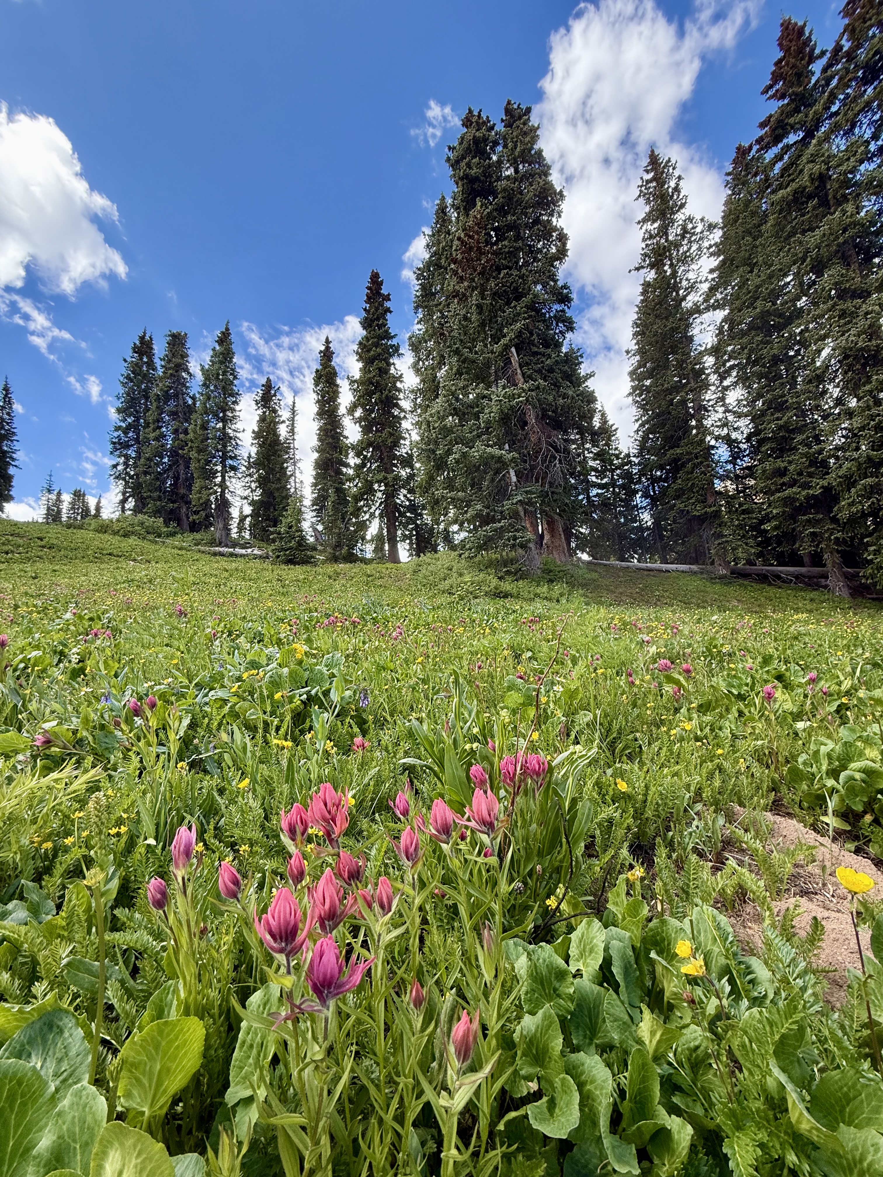
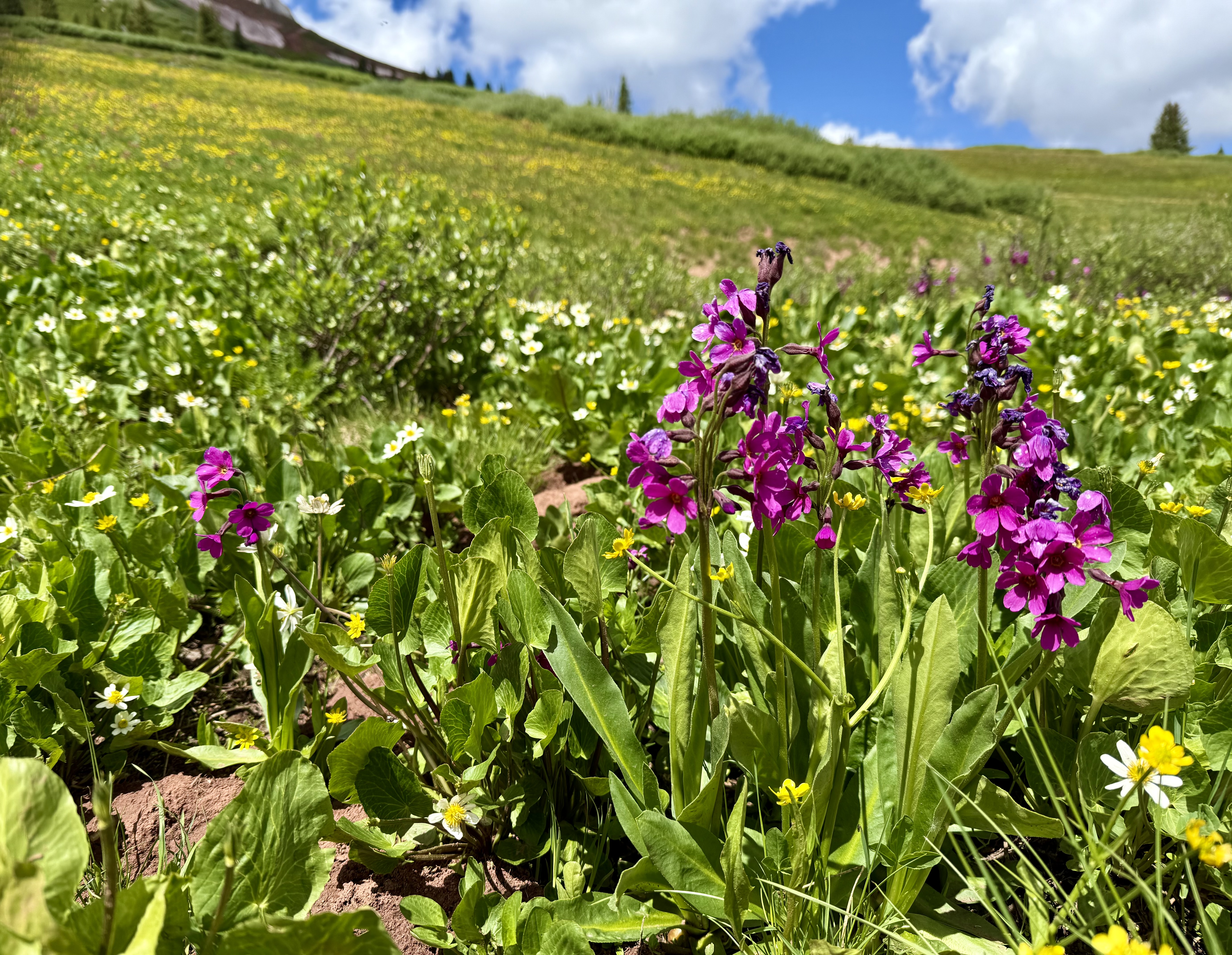
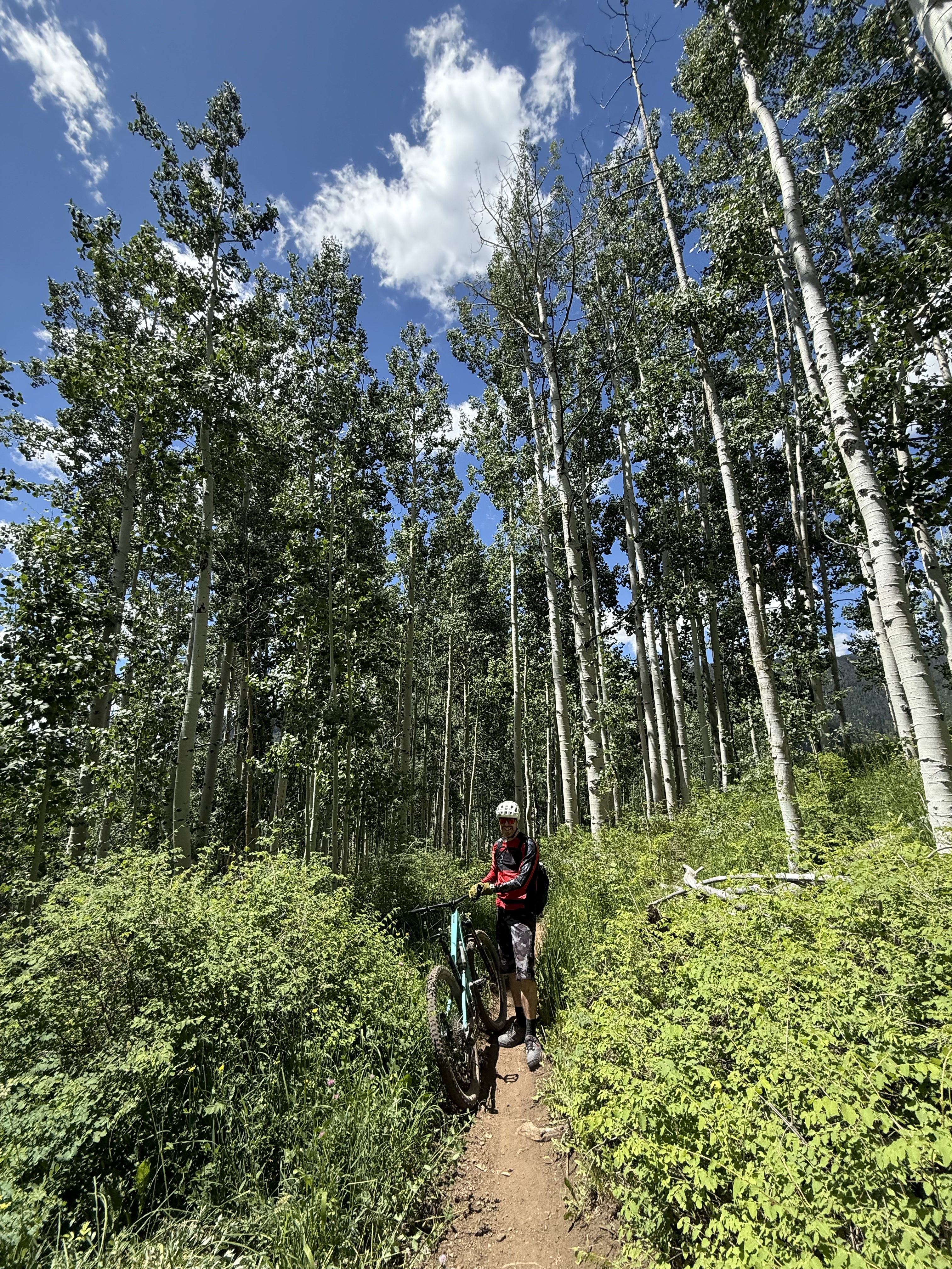
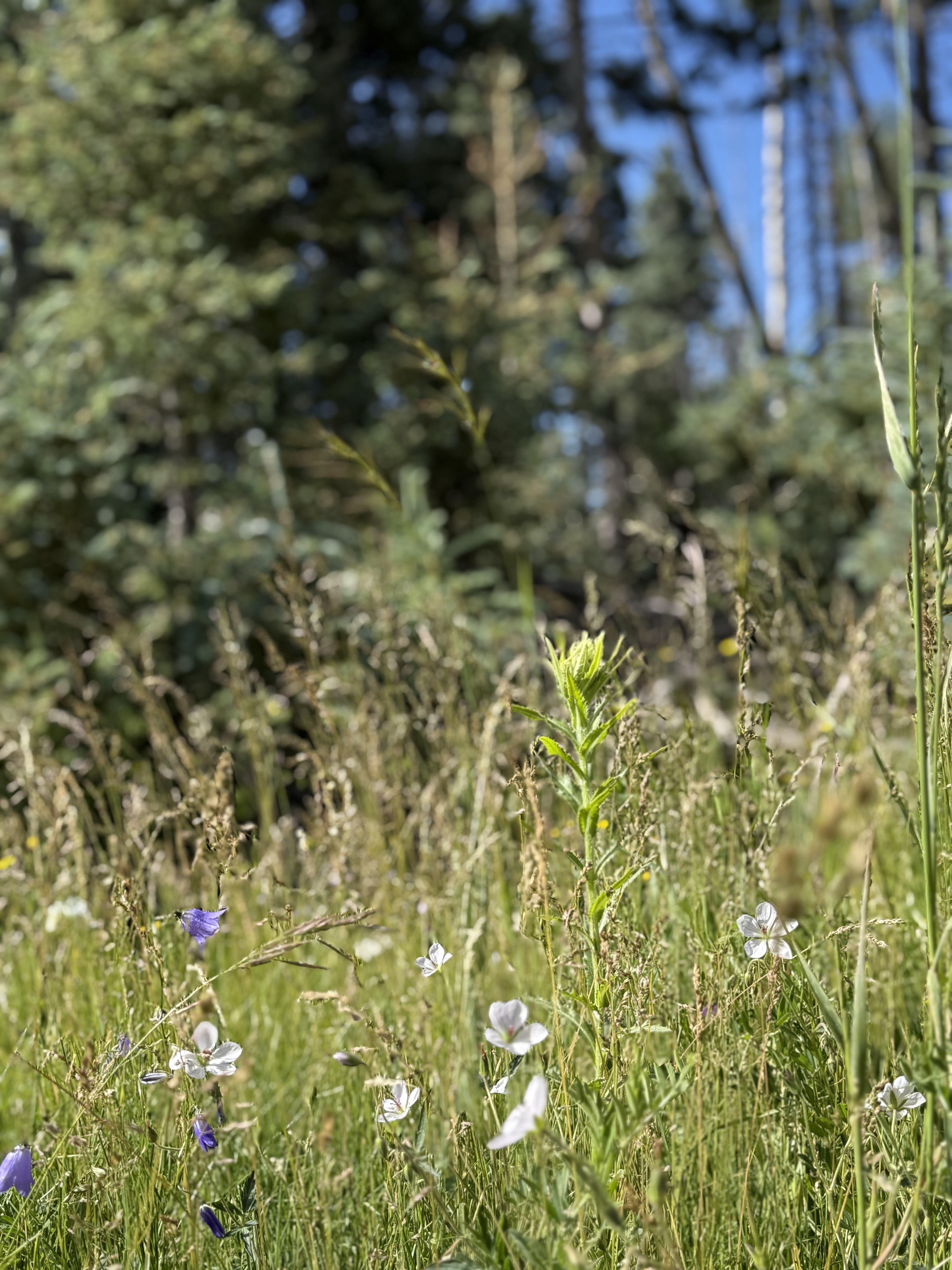
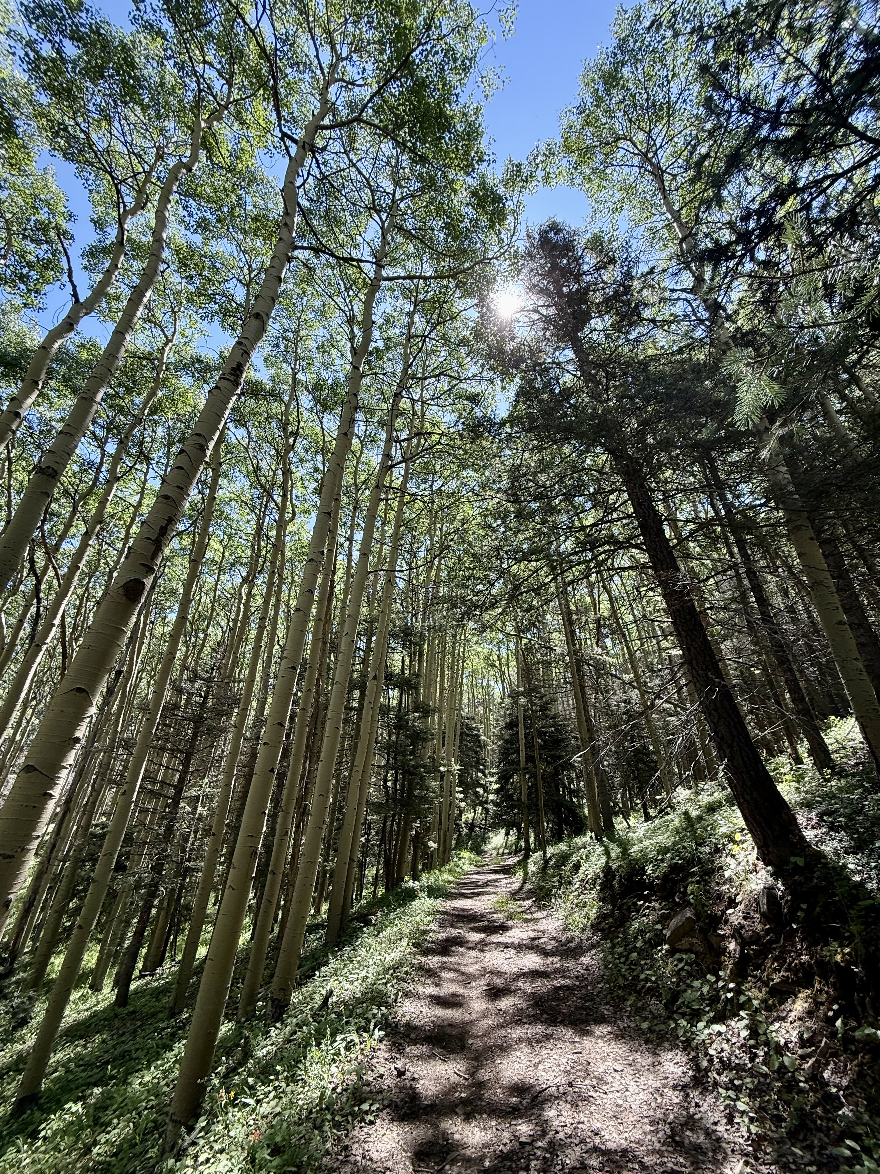
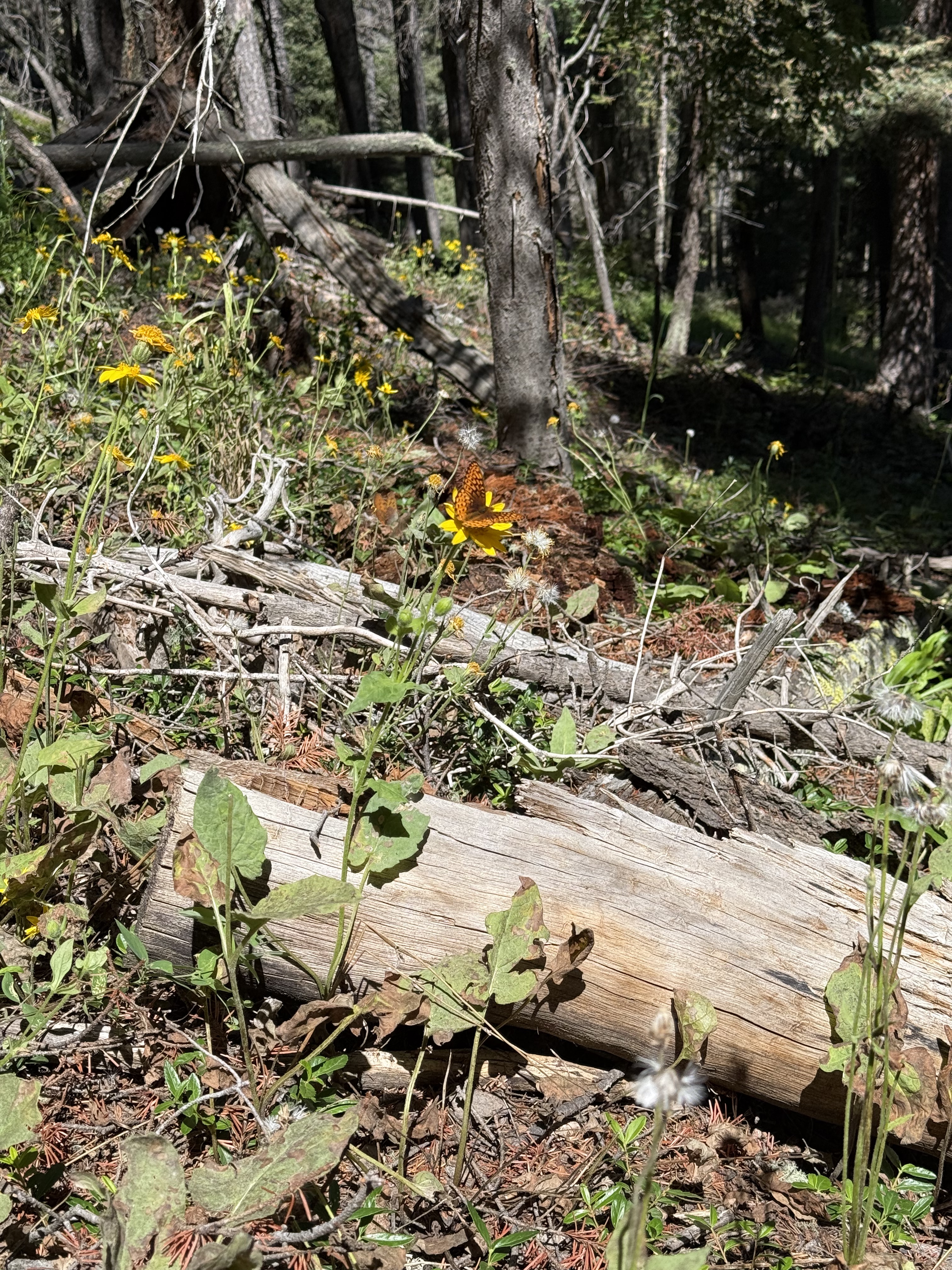
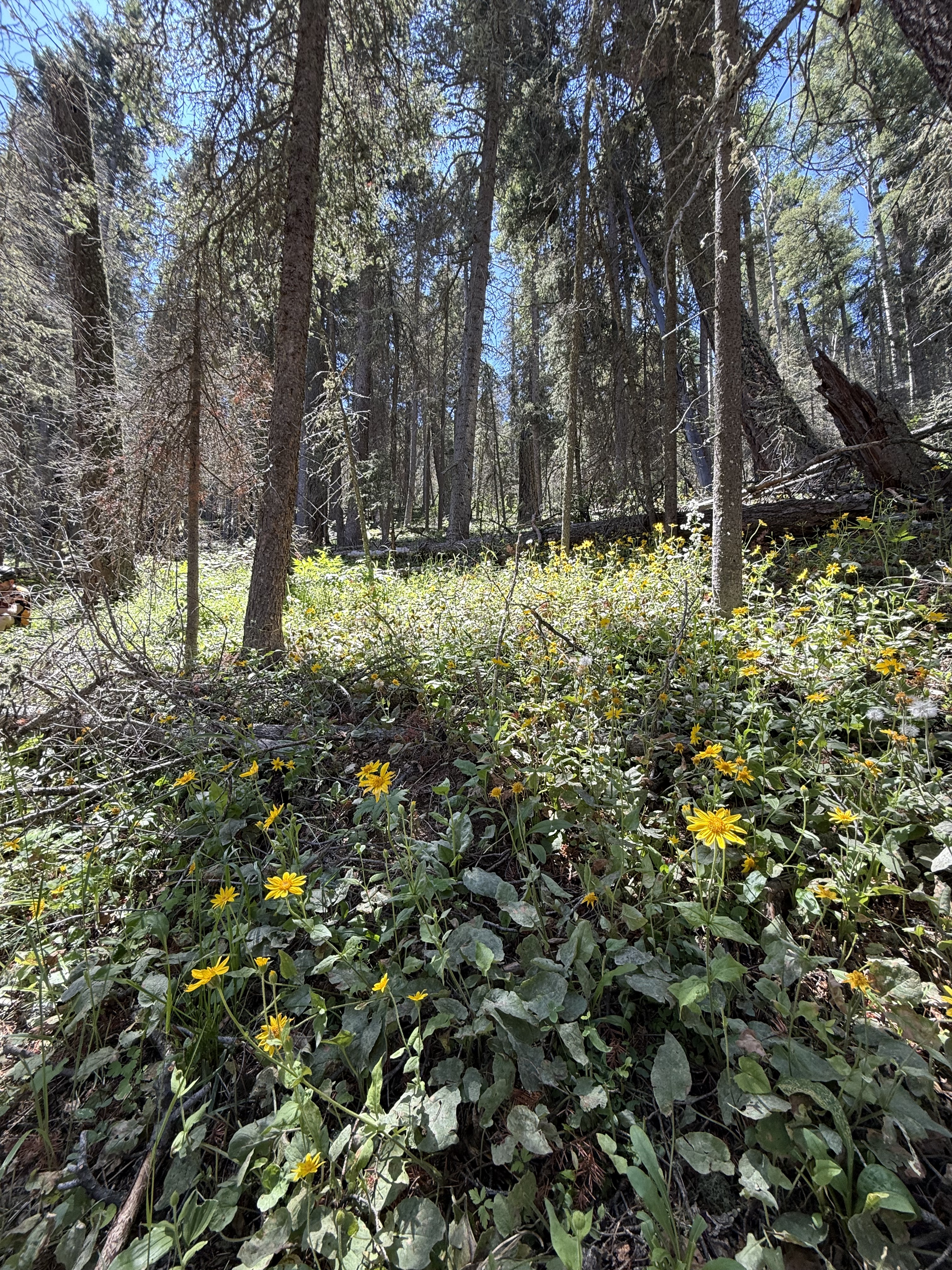
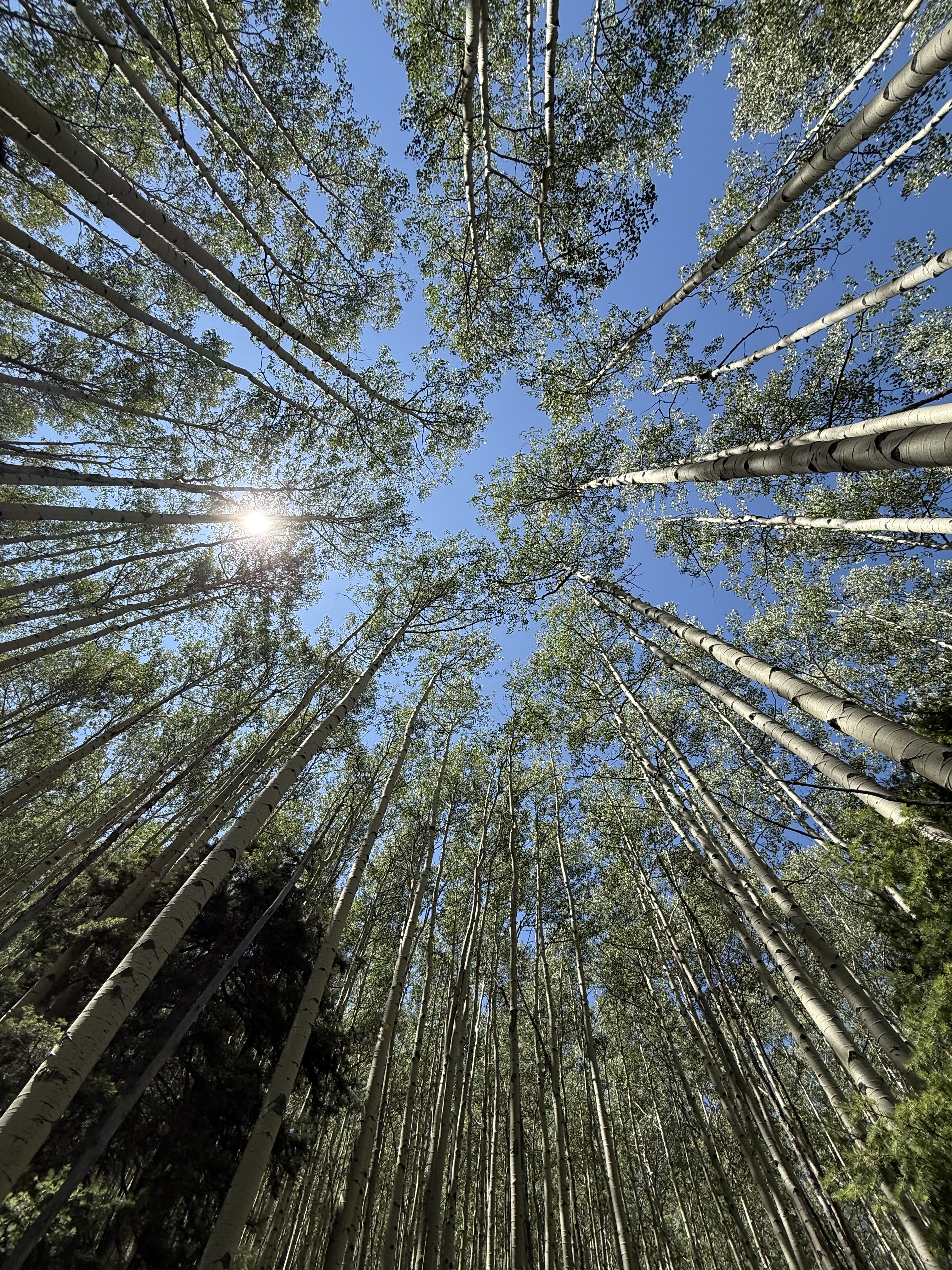
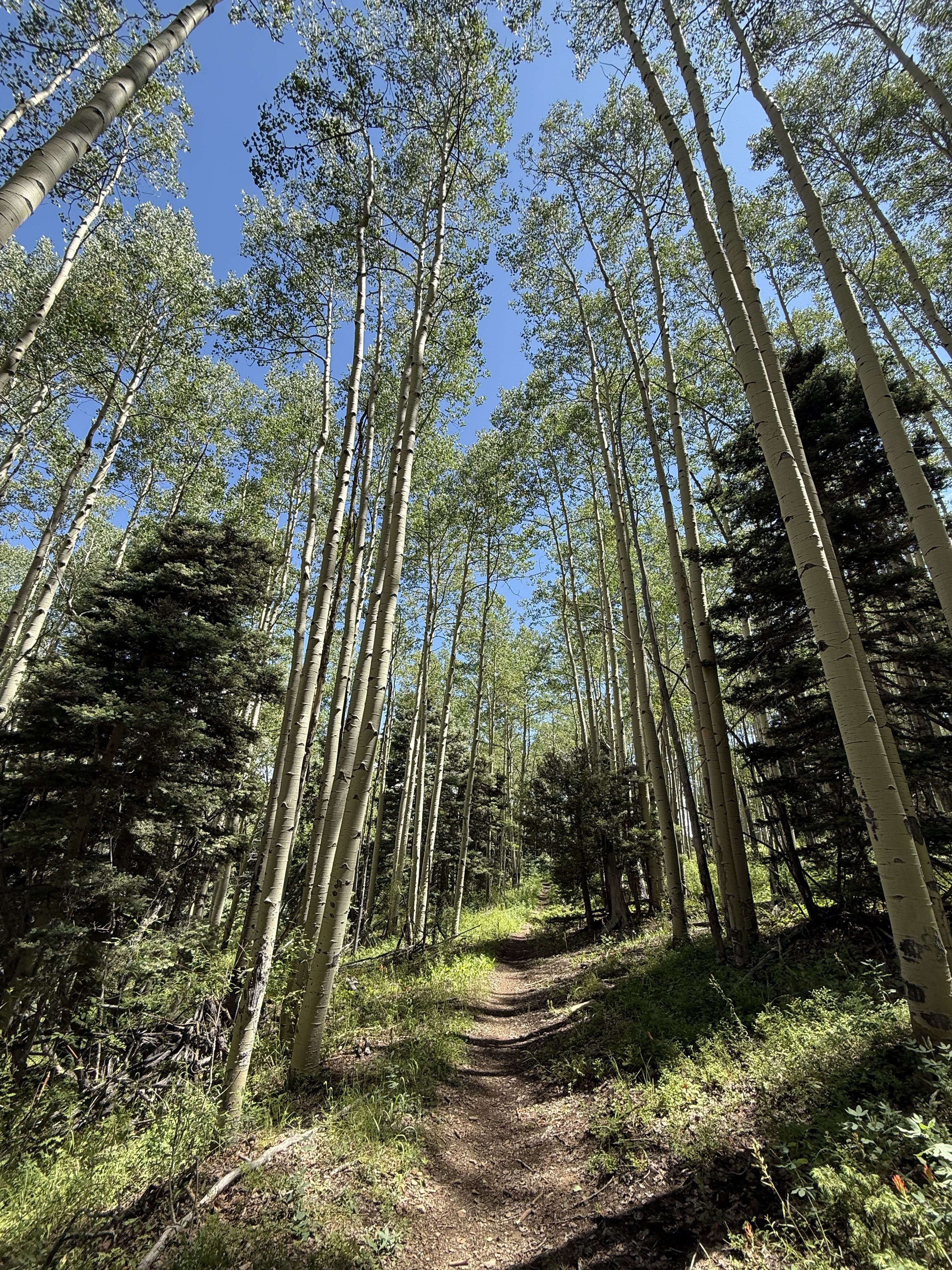
BUT….that downhill was worth the miserable climb. We had perfect weather and the COLOURS. SO MANY WILDFLOWERS. Add in blue sky, puffy white clouds, gorgeous white barked aspen trees, green Alpine meadows….it was like the world had been coloured in the brightest shades of Crayola crayons.


—————————————————————————————————————————————
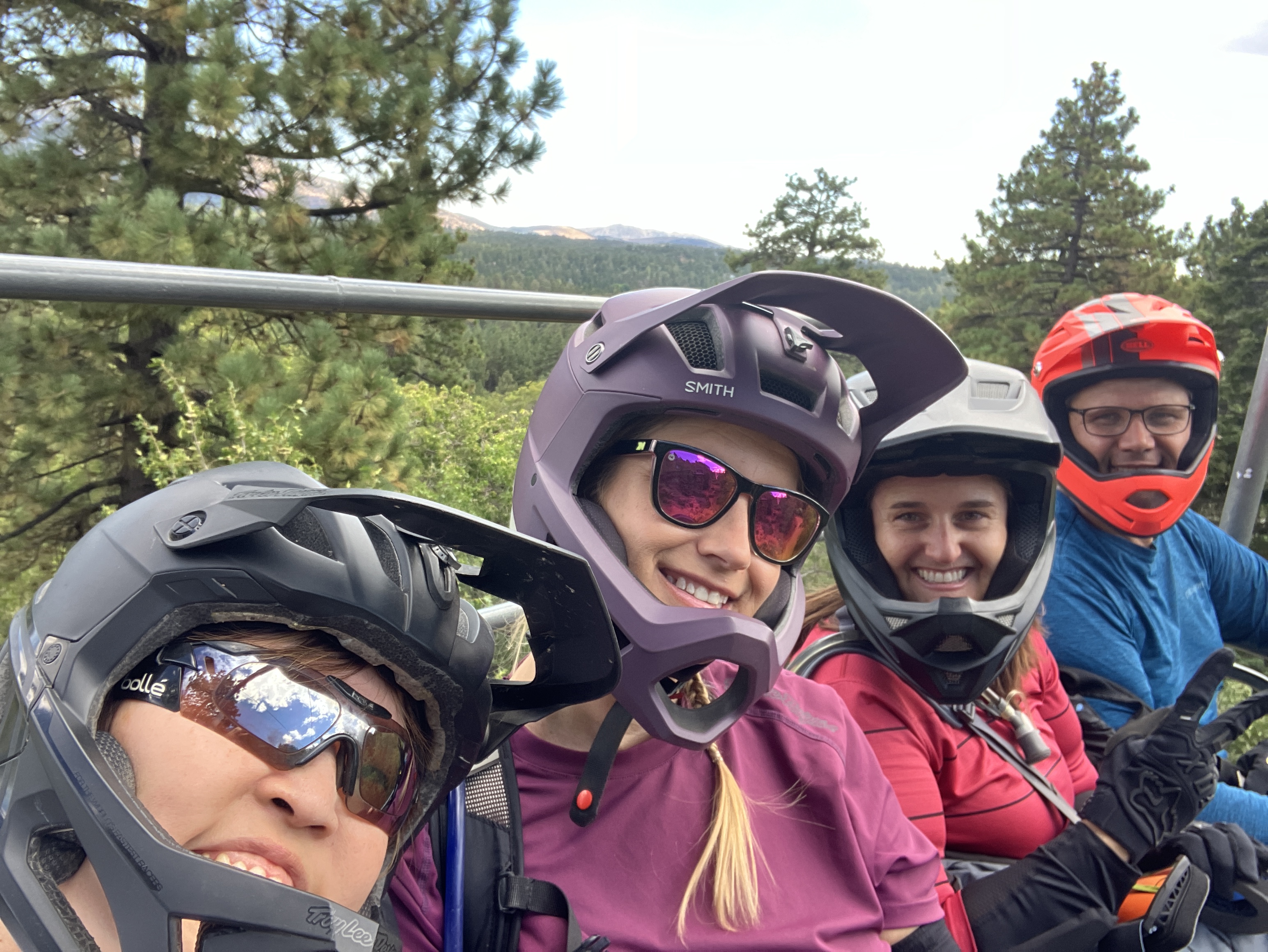
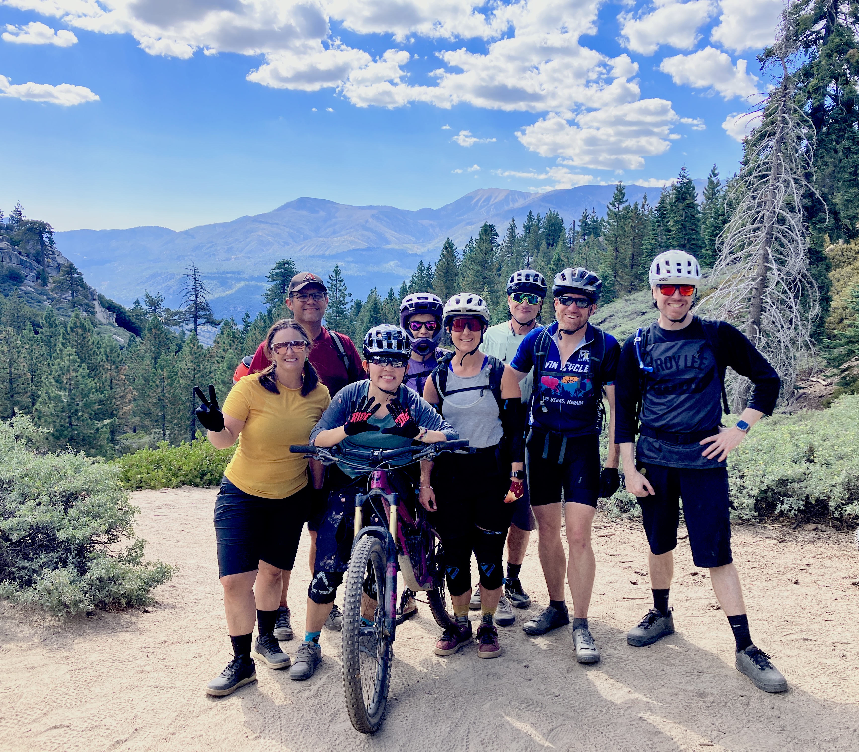
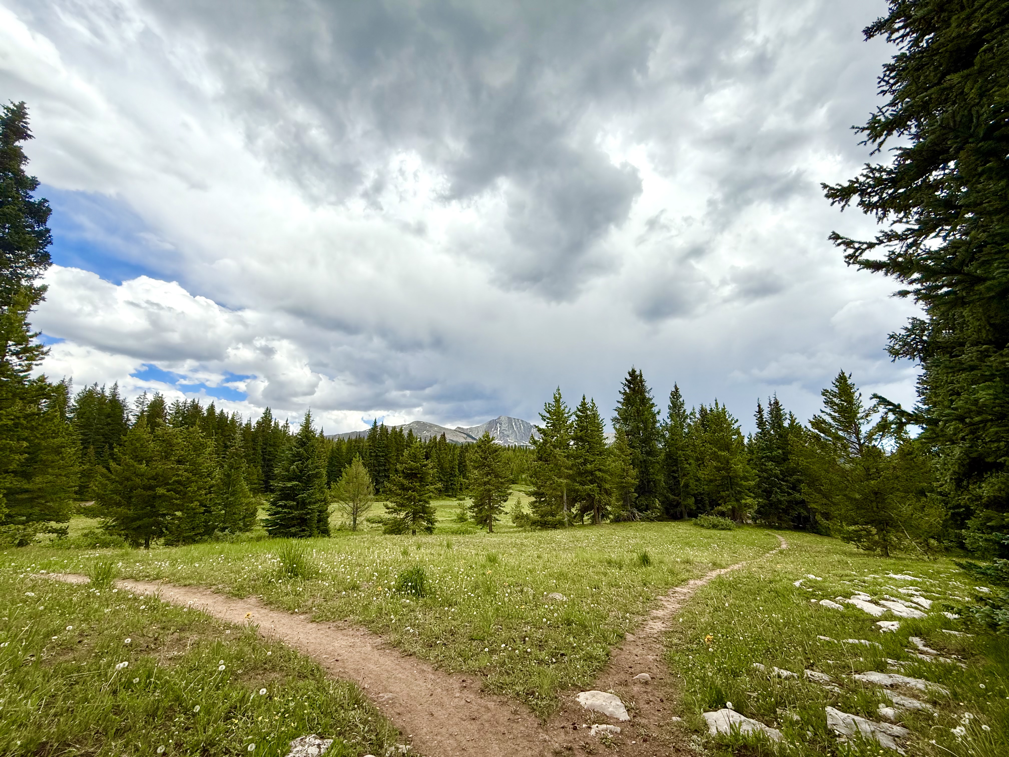
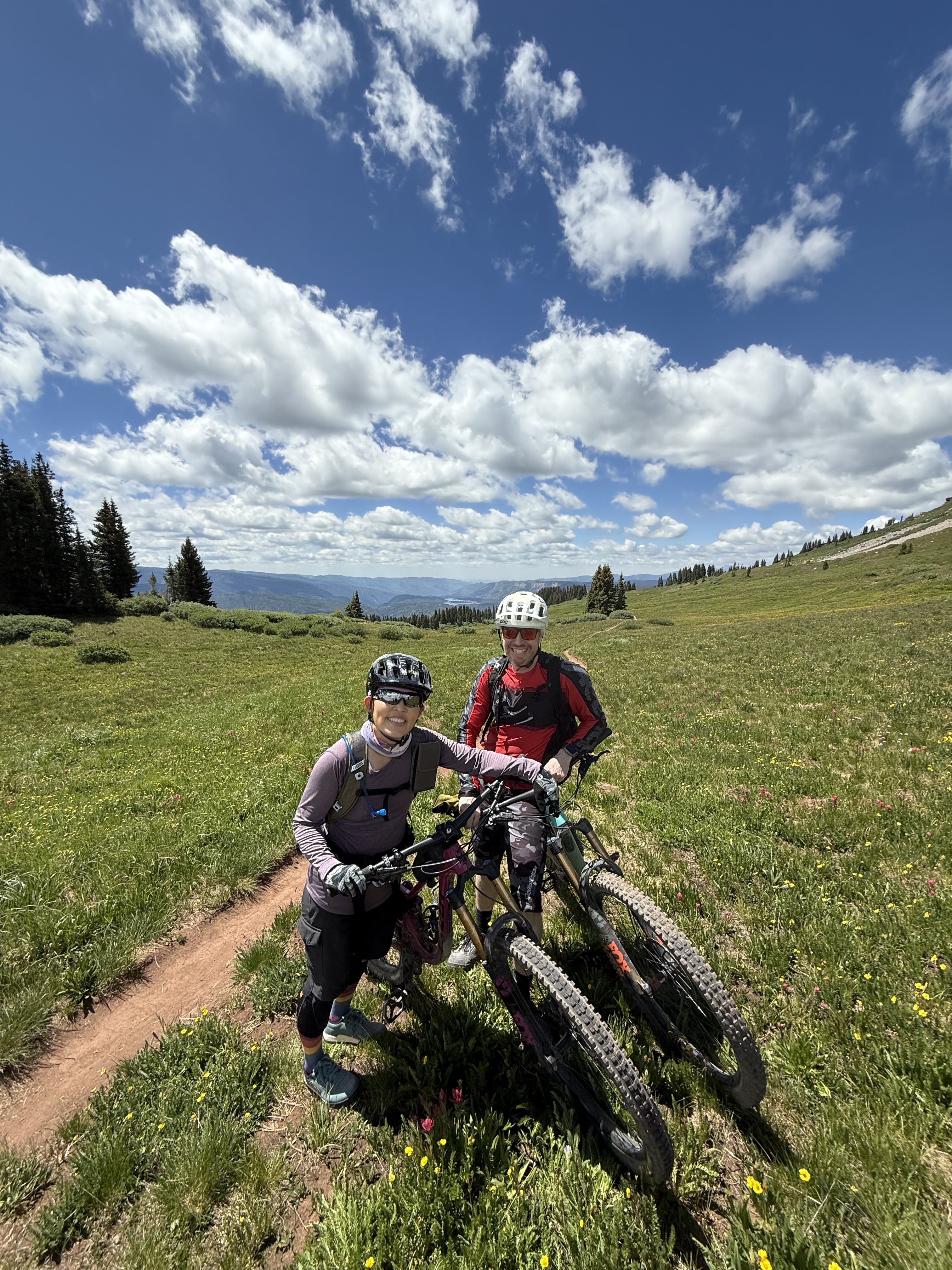
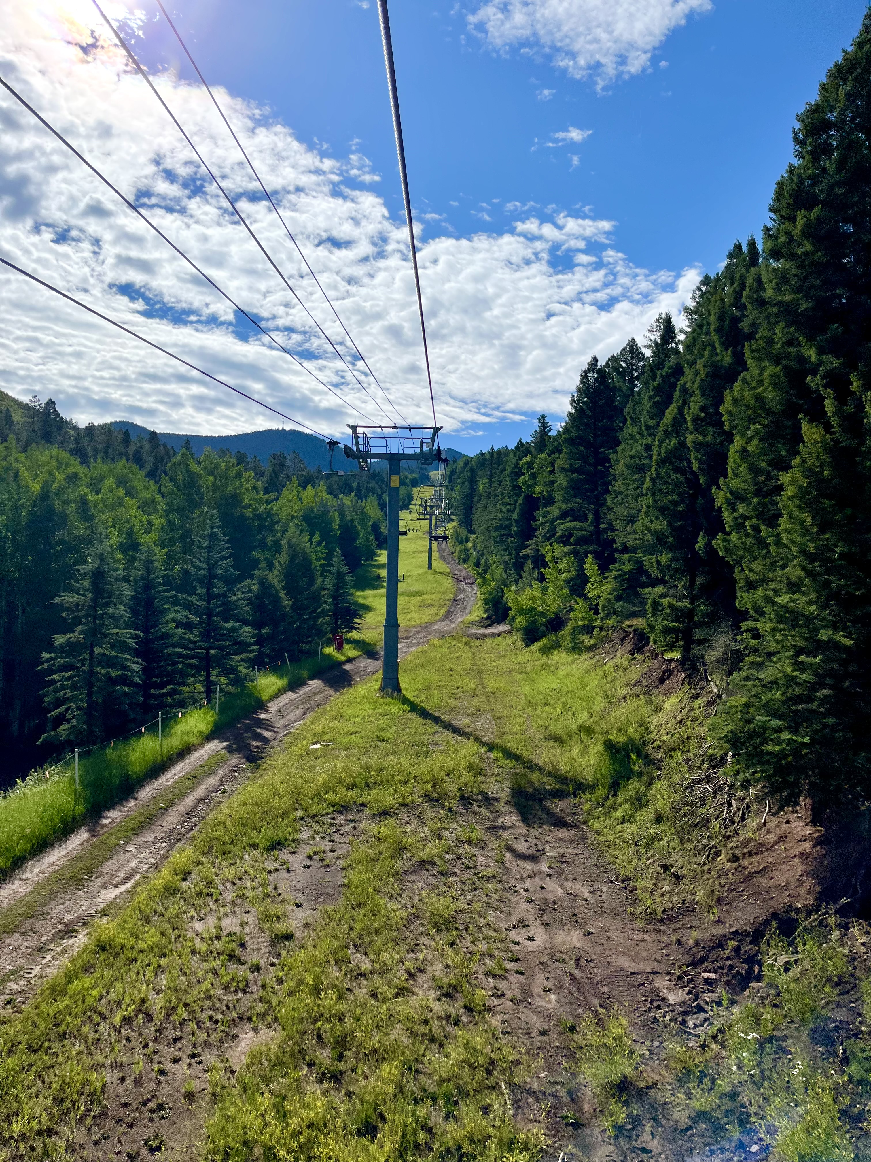
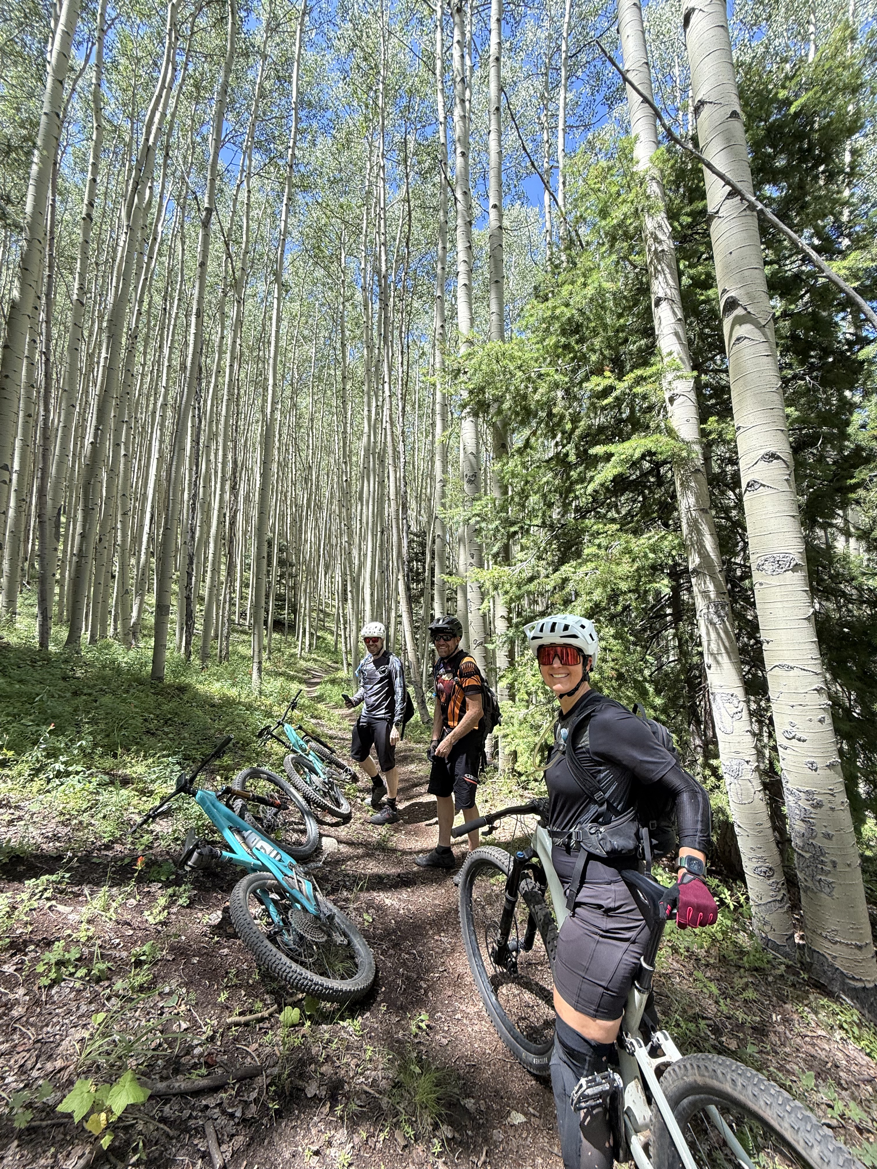
A couple of weeks later, we joined some friends to do some “gravity fed” riding (i.e., downhill bike park) in Angelfire, New Mexico. The Angelfire Bike Park is the first bike park at which I’ve ridden, so it will always have a special place in my heart. 😀 We were only there for 2 days and planned on riding at the park on the first day, then “waiting and seeing” to decide on what we’d do on the second day. It rained really hard when we got to Angelfire, so the first couple of downhill runs we did were somewhat muddy. Things dried up pretty quickly, which made it easier to pump out more runs. However, because we were in monsoon season, it started to rain again in the afternoon, which meant the chair lift stopped taking people up the mountain. (At Angelfire, if the lift operators observe lightning, they stop the lift for 30 minutes. If there’s no more lightning, the lift will start up again. If there is observed lightning before the 30 minutes is up, then the clock restarts. Safety first!) Since the lift stopped early on our day 1, we all went back to our Airbnb’s, cleaned up, then reconvened at my Airbnb to have dinner together. Over dinner, half of us decided to set up a shuttle (that word again! This time, it meant 2 people driving their respective cars to the end point of the trail, then driving back together in one car. In the morning, we’d all pile into the one car to the start point, start riding to the end, then pile into THAT car back to the other car, after which we all go home) to do the South Boundary Trail (SBT) the next day.
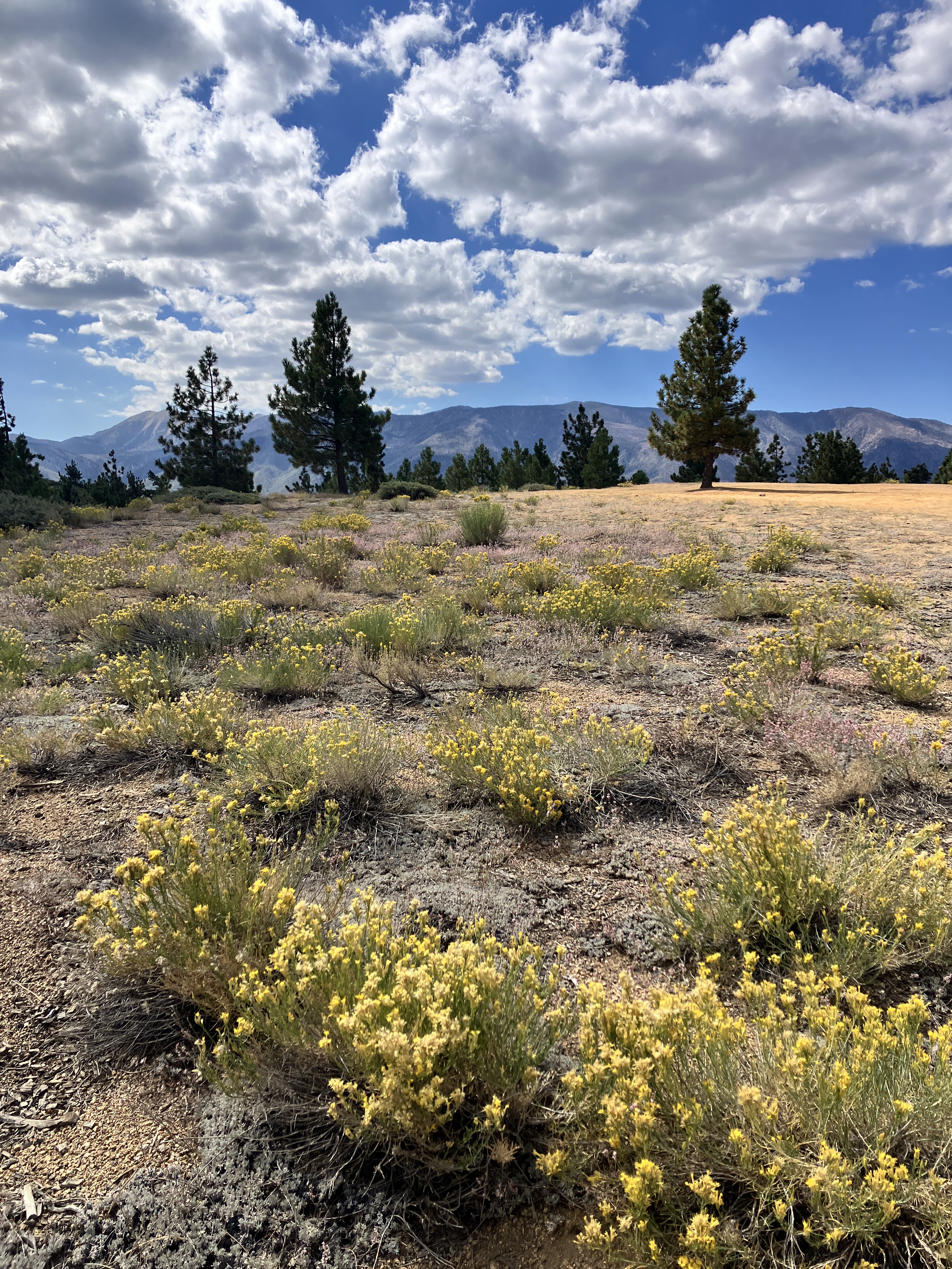
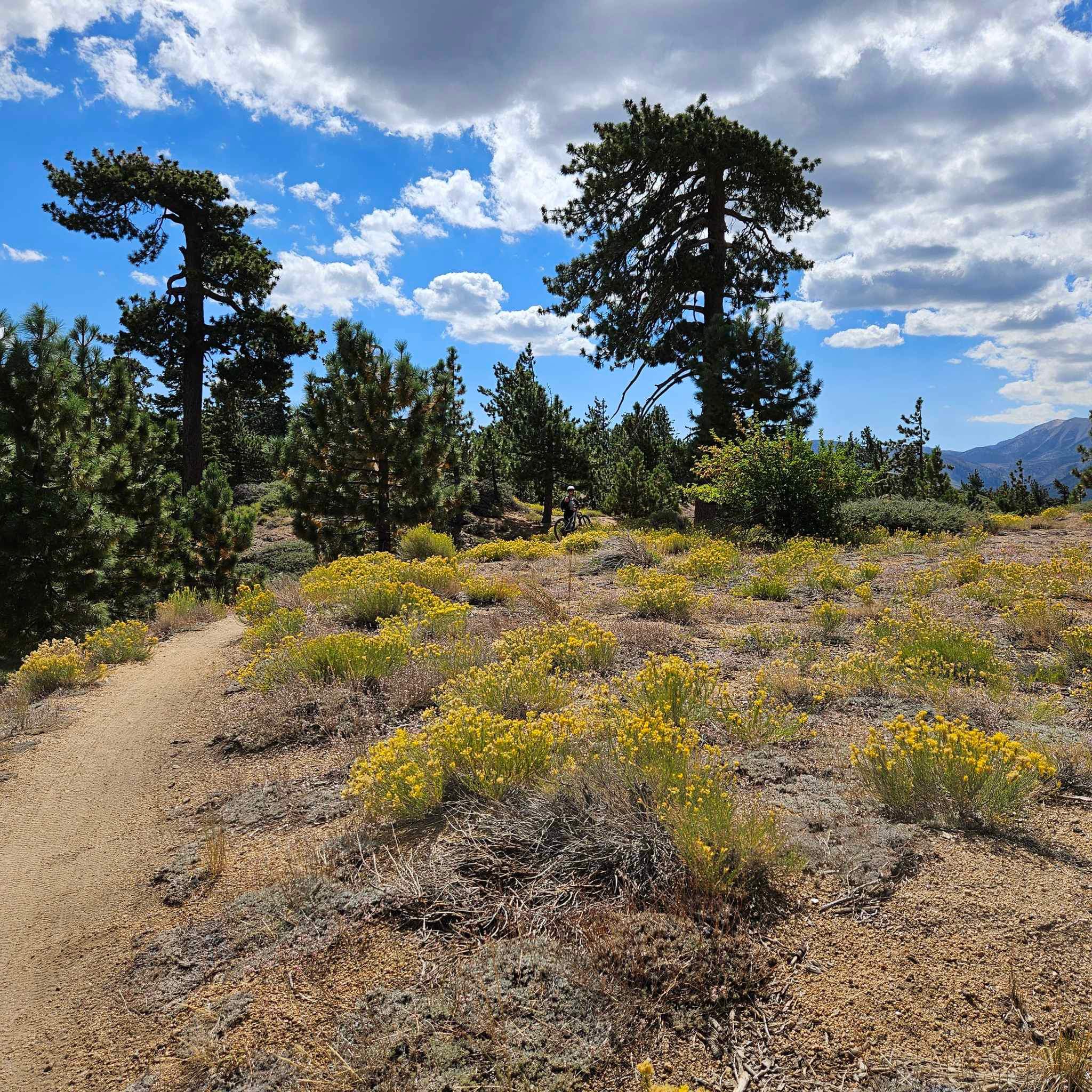
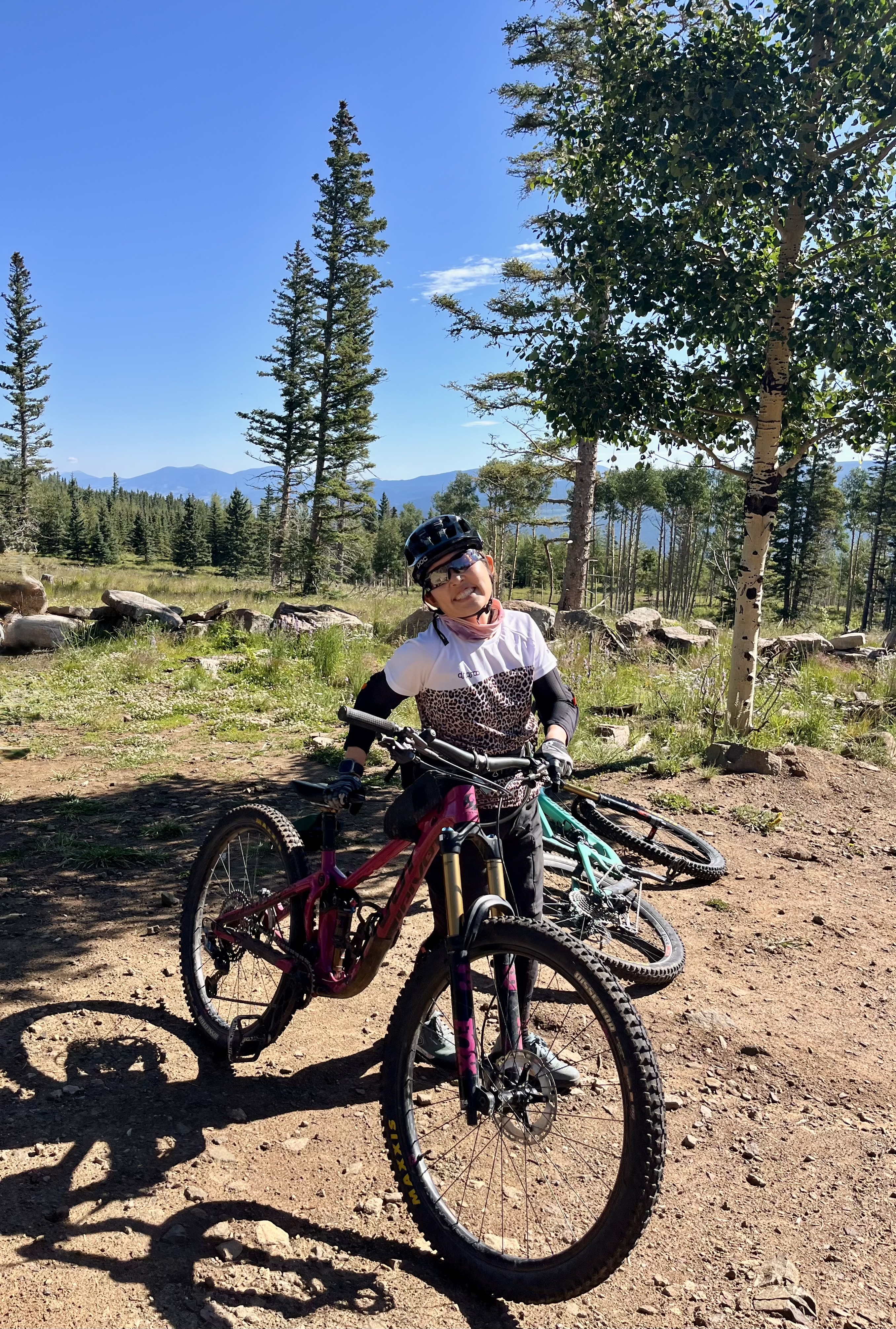
The SBT is considered a classic New Mexico route that is a must-do. Overall, I enjoyed this ride and although it wasn’t as pretty as Engineer Mountain, it was fun to practice my singletrack riding and experience more of a backcountry trail. We only climbed about 1,100 ft (335 m) in total, but descended about 4,000 ft (1,220 m)! I thought the last 3 miles of this 20 mile route were the most interesting because it was the most technical: loose, rocky, steep with some sharp turns. I definitely had to stay focused because it would’ve been easy to slip, lose traction, and go “over the (handle)bars.” Up until the last 3 miles, the terrain is fairly smooth. I was a little disappointed that the SBT didn’t have any good viewpoints, like Engineer Mountain did. But there was still beauty to be found in some of the flowers, the aspen trees, and many butterflies. I’m glad I did the SBT and satisfied that that was my second day of riding in New Mexico this weekend!


And that brings me to the end of the recaps! Thanks for reading and I hope you’re all enjoying your respective summers!