Seems like I’m making the same excuses for not updating my blog in a timely manner….too busy doing stuff! I’ve been fortunate to have enjoyed some great mountain biking adventures and even an extreme hike since my Bear Jaw race in August. Without further ado, here’s part 1 of my “catch-up blog post,” in chronological order!
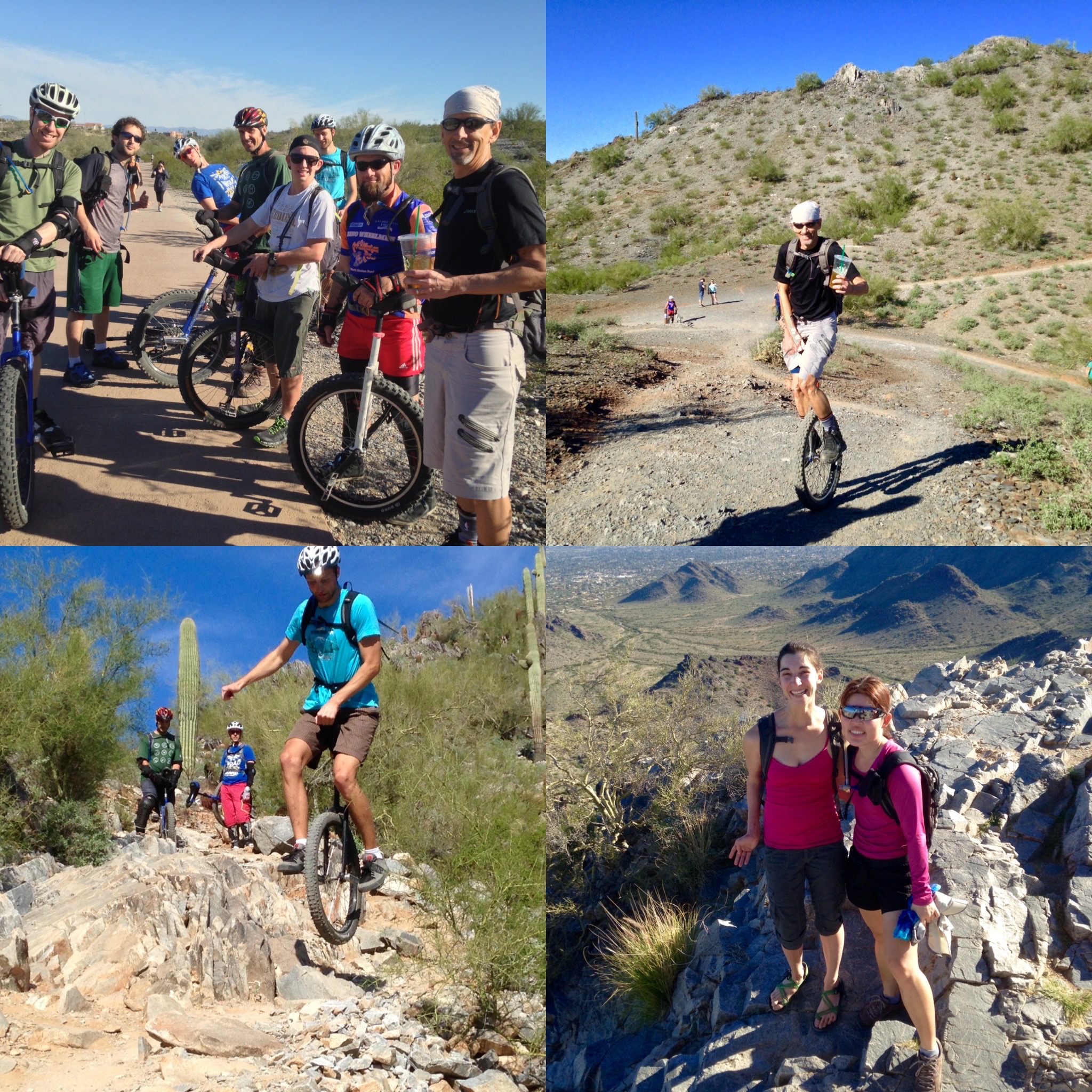
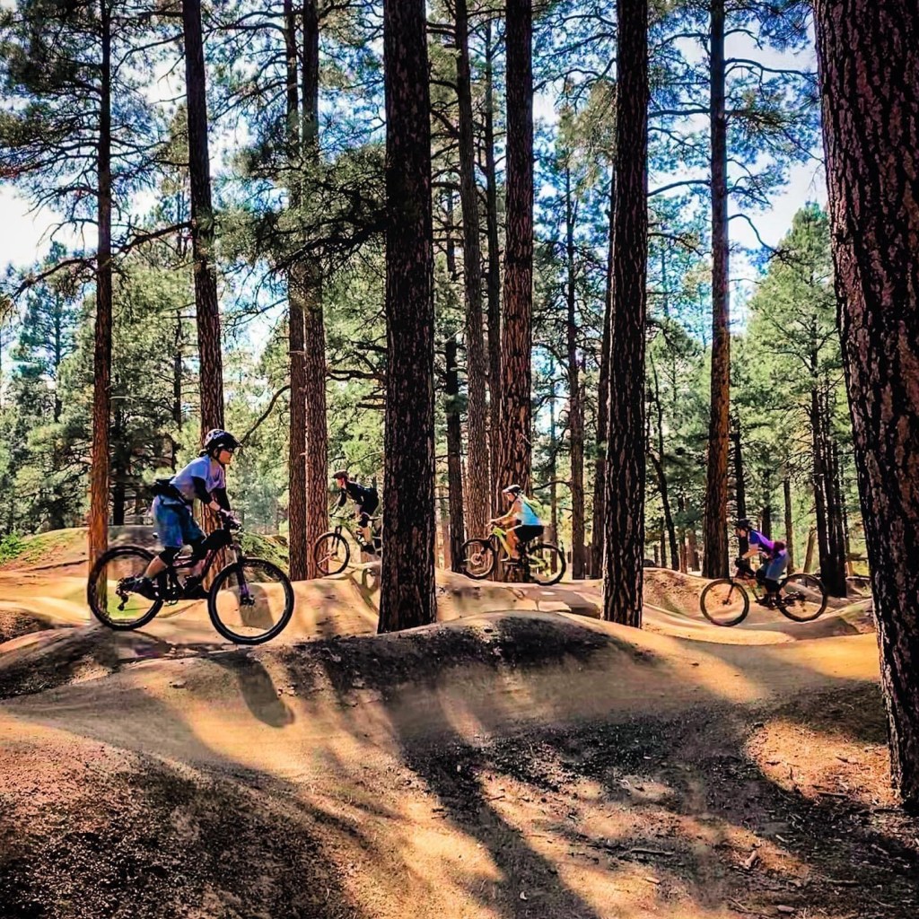
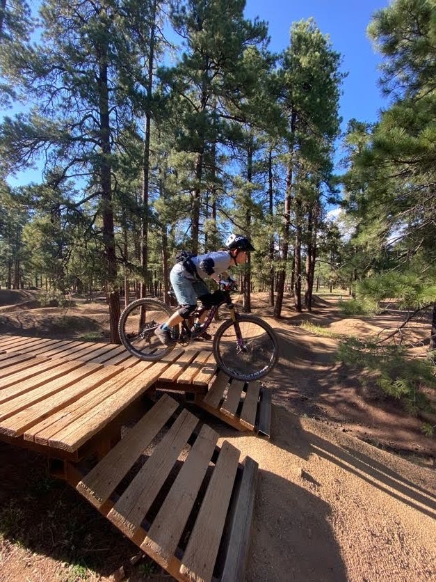
First, in September, I got to participate in a SMBA ladies’ bike park skills clinic at the Fort Tuthill Bike Park just outside of Flagstaff. A bike park is a specially designed place where you can practice mountain biking skills, such as jumping (riding over and past a ramp to “get some air”), dropping (either rolling down or dropping over an obstacle, like large boulders or tree stumps), and pumping (using your arms to create momentum, i.e., pumping, while riding on a closed track). My clinic focused on the mountain bike fundamentals, like cornering and shifting body weight forward and back, then used the fundamental skills to test our abilities on the various bike park features. I’m still a beginner when it comes to doing jumps and drops, but I feel like I now have the head knowledge to attempt baby jumps and drops on my home trails. It was a fun day up in Flagstaff and inspired me to continue working on my skills.
Working my way around the pump track. 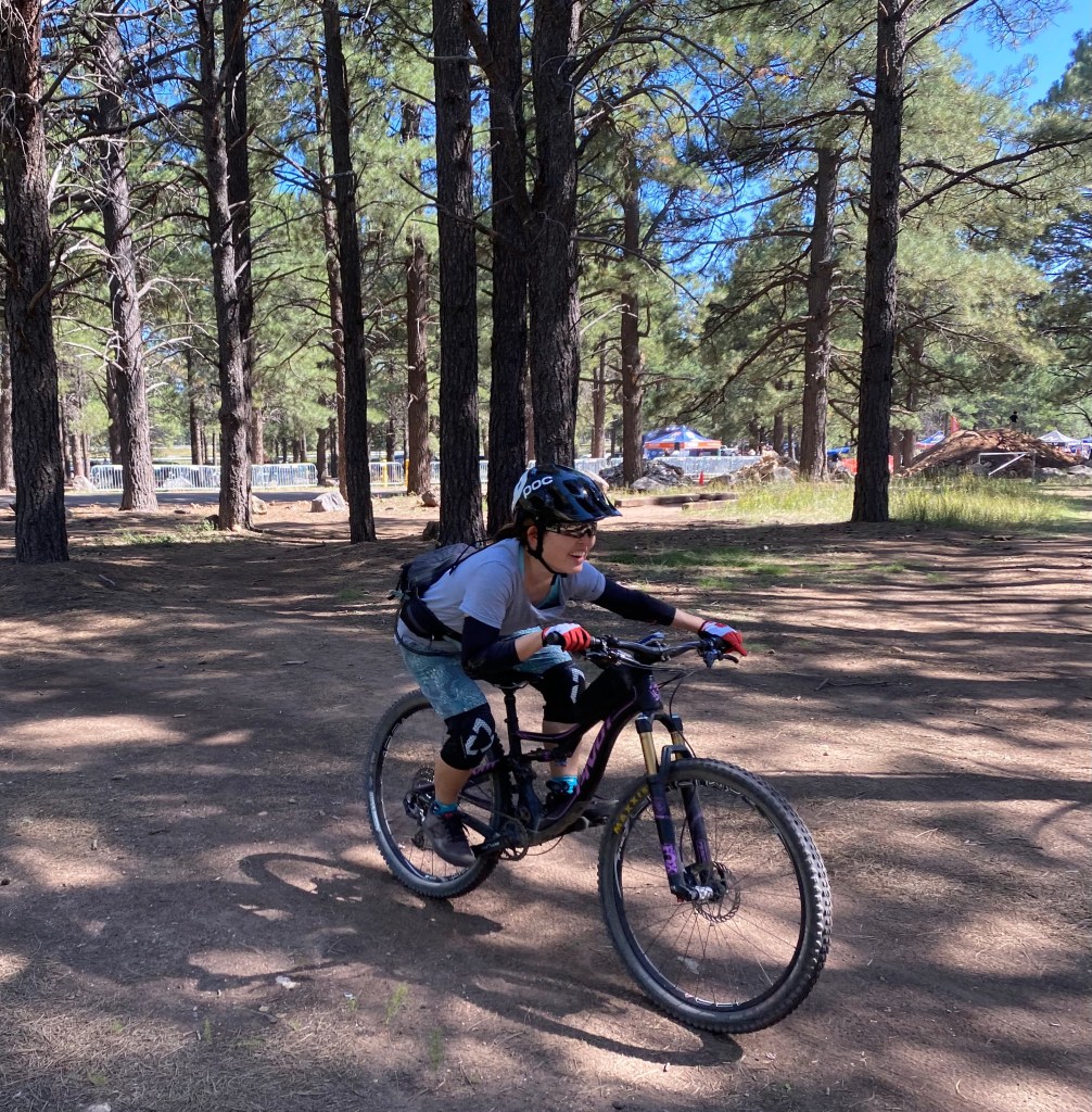
Practicing low body position. 
Working on drops.
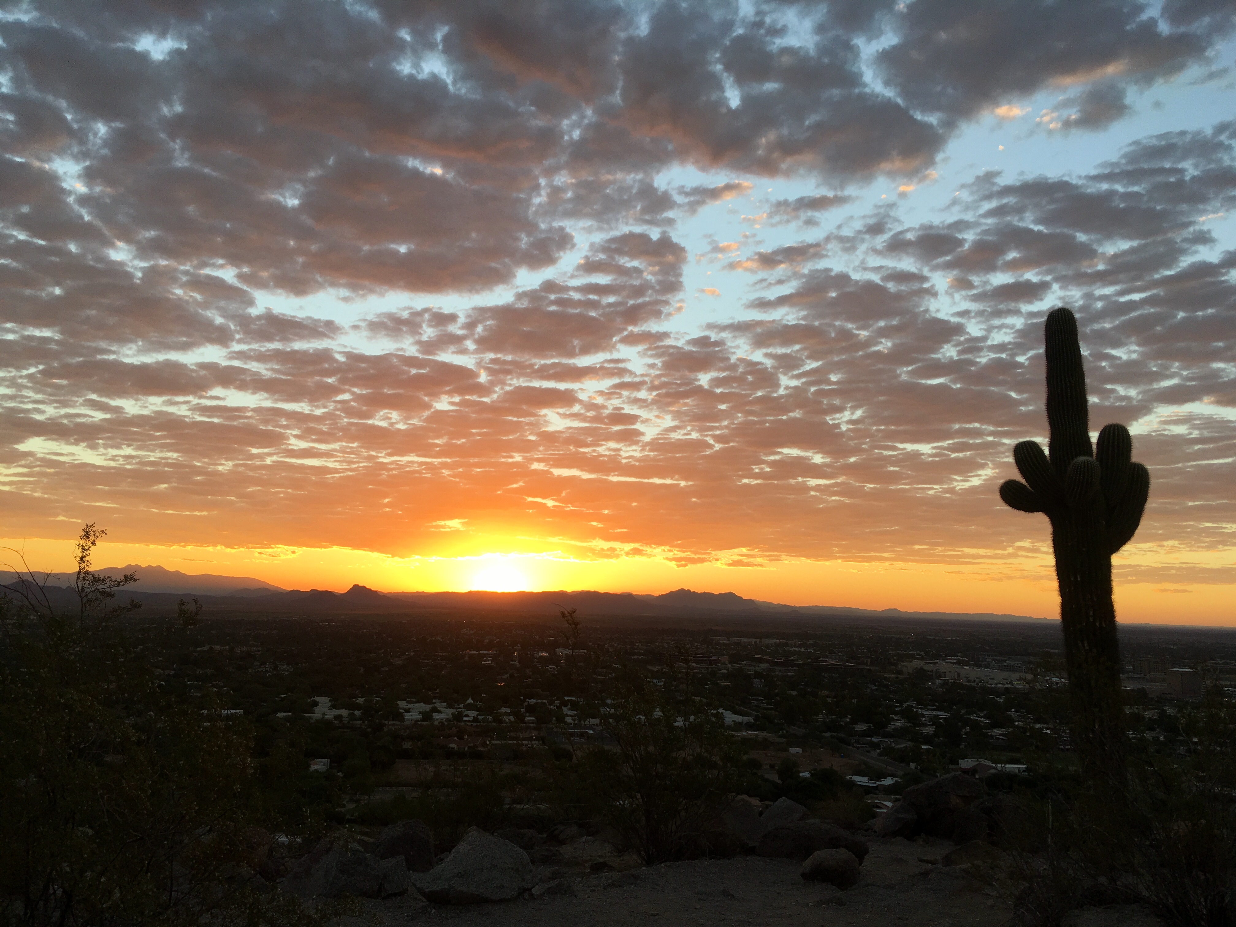
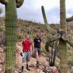
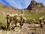
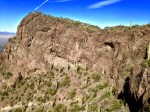
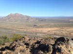
For the October long weekend, my SAT (self-appointed trainer, for you newer blog readers!) and I went to Vegas to visit friends and do some mountain biking. I was particularly interested in seeing how similar/different the Vegas trails are compared to the Phoenix trails. I’d say that the Vegas trails I rode are more rocky and rugged than the Phoenix trails (not that there are no rocks in Phoenix, just that there seemed to be MORE rocks in Vegas). That difference made for a slightly more challenging riding experience for me, but in a good way. I definitely rode some sections that were pushing me out of my comfort zone because of factors such as technical rocky sections, exposure, and the unfamiliarity of the trails. It was really fun to catch up with friends and I know my riding improved because of navigating new trails and practicing “looking ahead” and “reading the line.” During the drive back to Phoenix, my SAT and I stopped at the Monolith Garden trail system just outside of Kingman and checked out the trails there. We really enjoyed the beauty of the rock formations and the solitude of the area (we didn’t see anyone during our entire ride). The rock formations reminded us of the Chiricahua National Monument in SE Arizona–simply amazing.
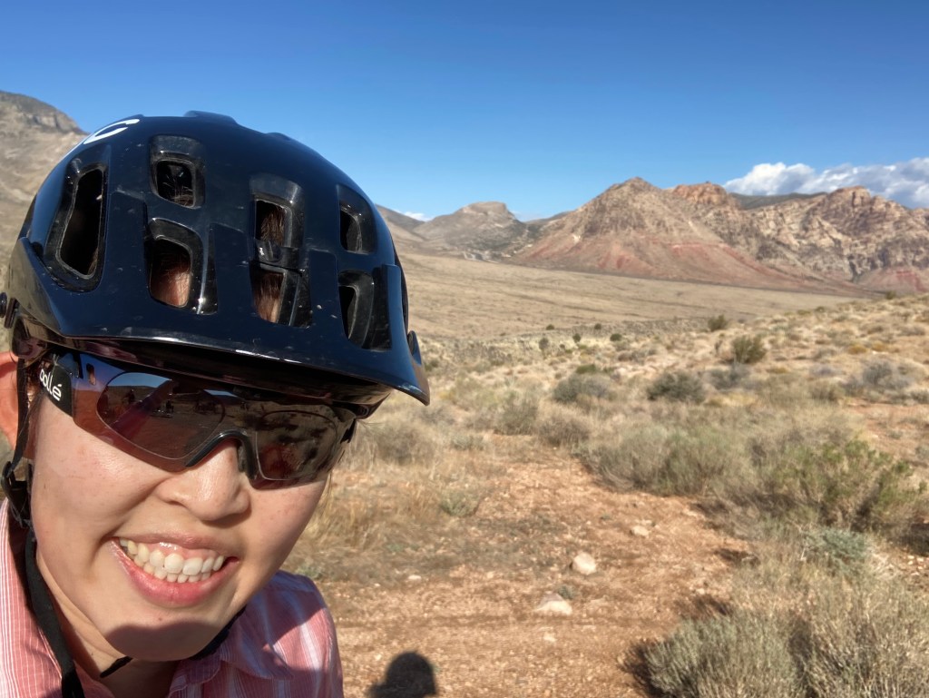
Hello Red Rock Canyon! How I’ve missed you. 
Love this view. 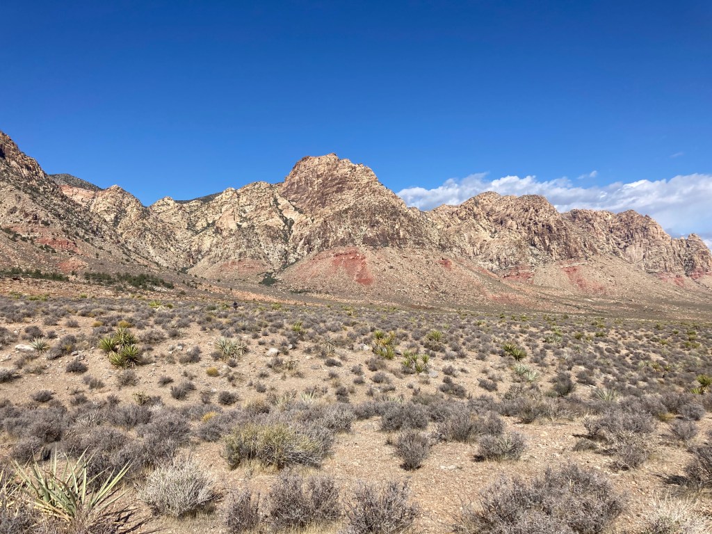
Love the red rocks. 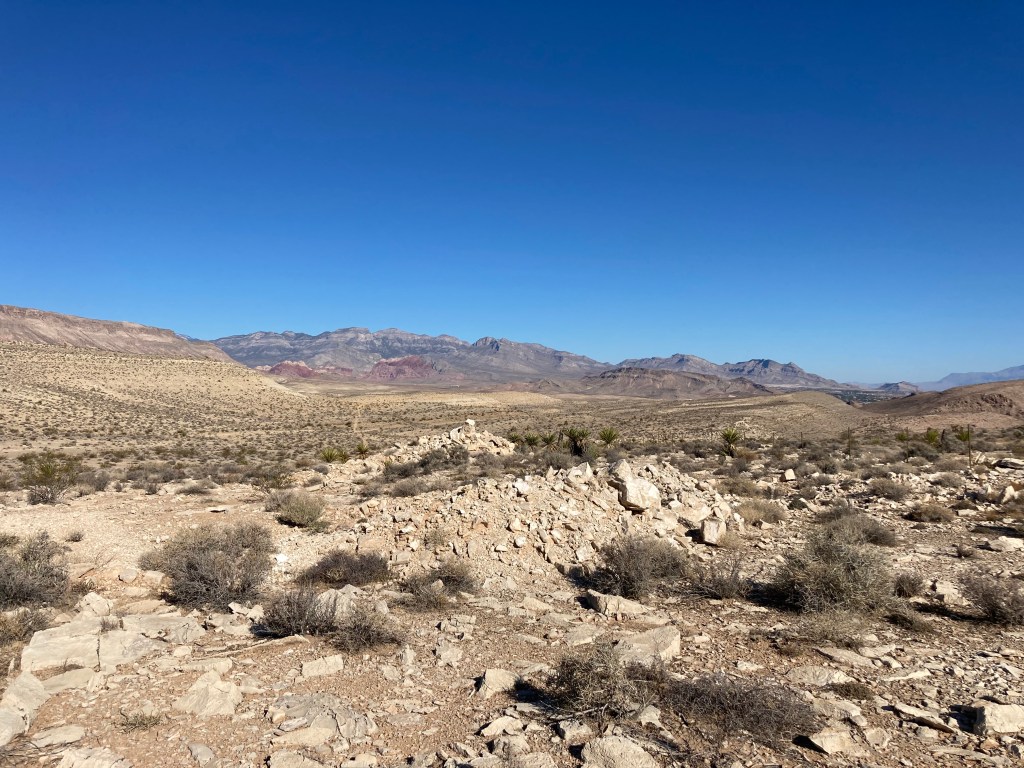
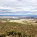
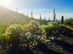
More beautiful SW desert views. 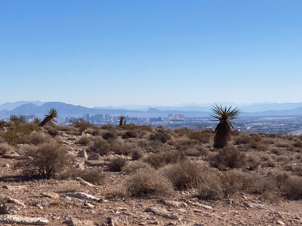
Vegas’ Southwest Ridge. You can see the Strip in the distance. 
So good to see friends! 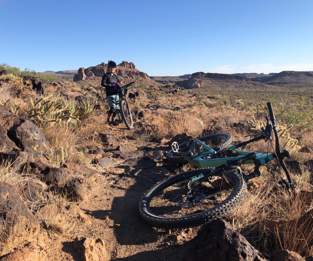
Monolith Garden trail just outside of Kingman, AZ. 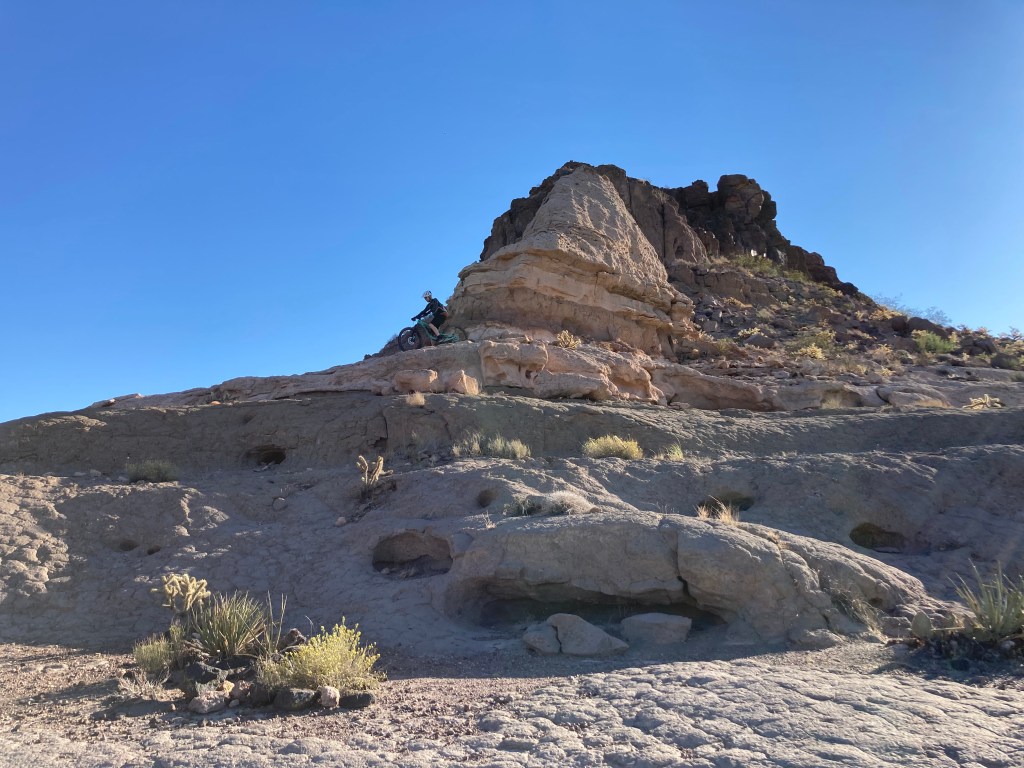
Mark testing his balance. 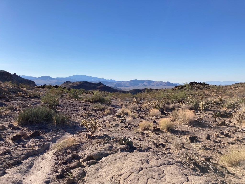
Vista of Monolith Garden trail. 
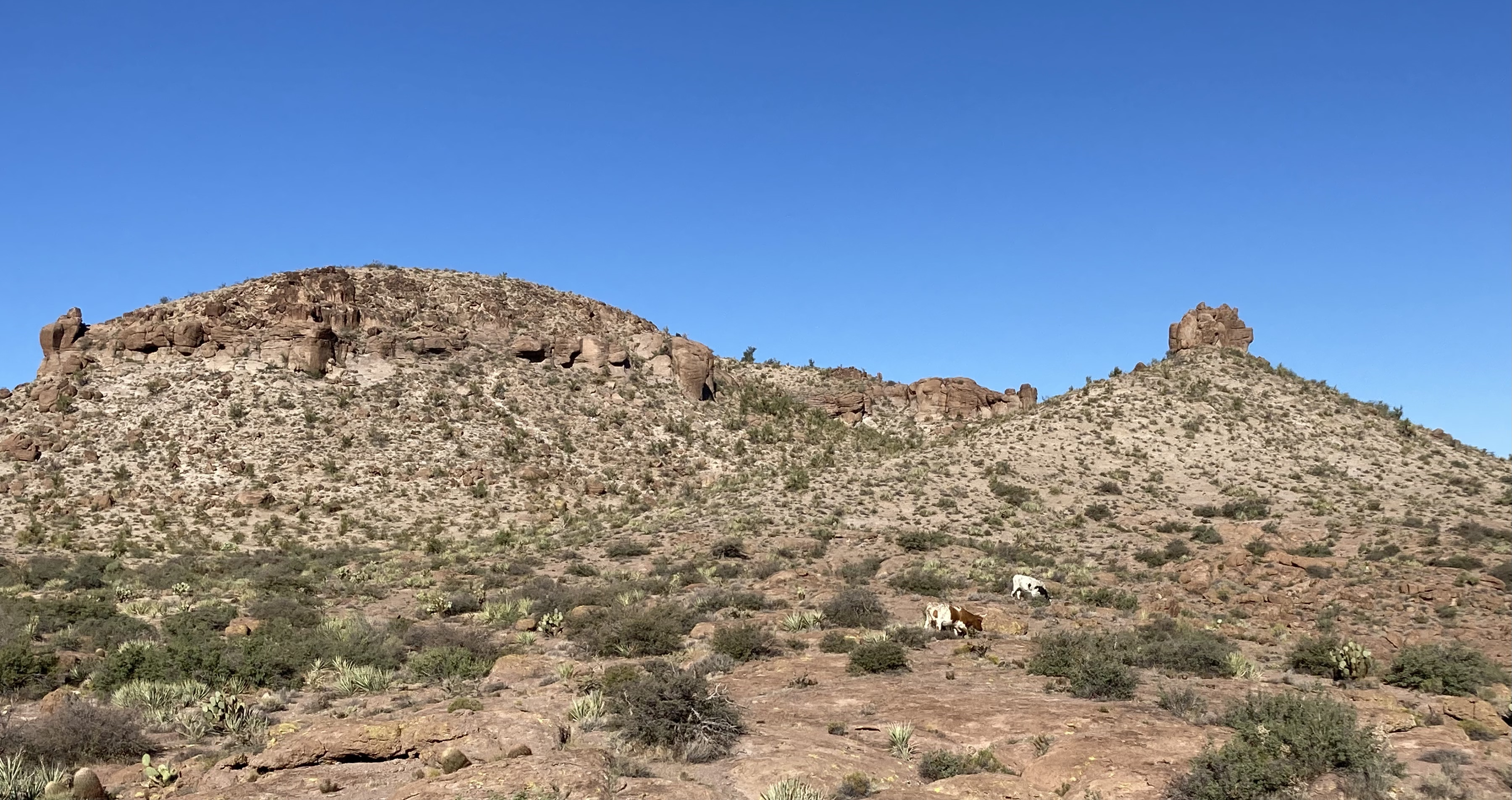
We saw cows near the end of our ride. 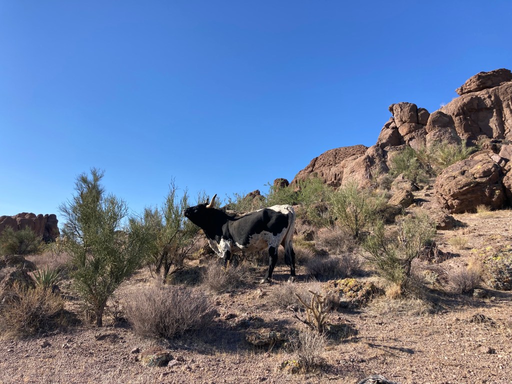
I like cows. They are gentle creatures. 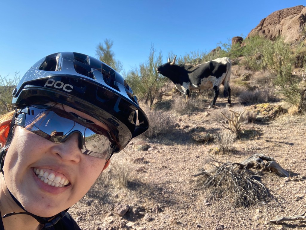
Got to get a selfie! 
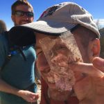
Cool hole in the rock.


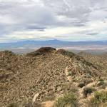
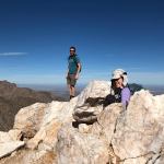
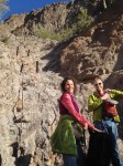
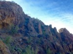
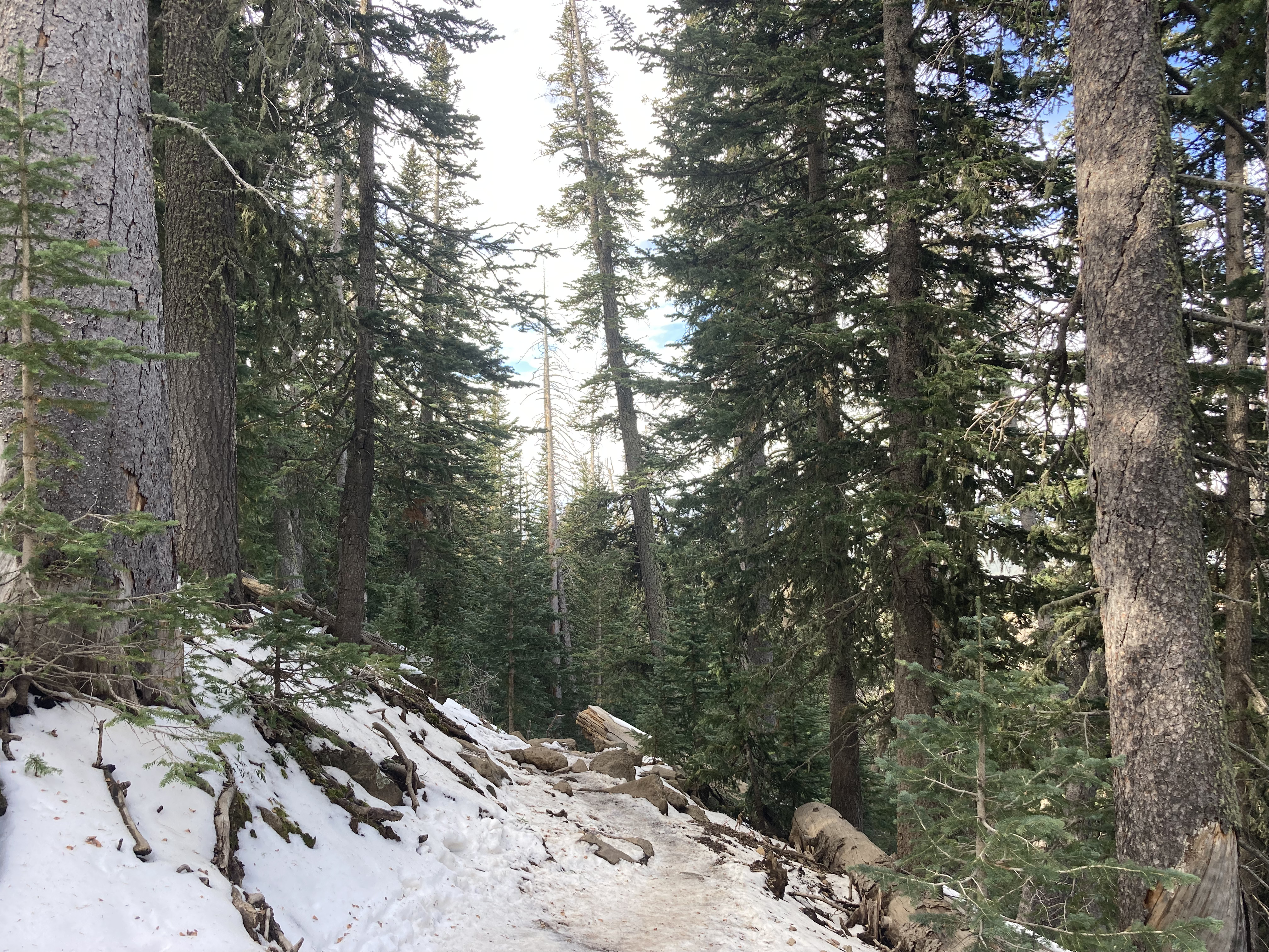
On October 17, my friend Crystal and I successfully summited Humphreys Peak. We do this hike each year, usually in the summer. However, this summer, we could not do the hike because of all the forest fire closures in and around Flagstaff. We were a little bummed to miss out on our annual “do or die” tradition, so when the forest fire closures lifted, we decided to pick a fall date and go for it. [Note: by “do or die,” I mean that we pick a date and hike Humphreys without training for it. We drive up, hike, and drive back in one day.] Our “do or die” approach is not something I recommend because the hike is a pretty strenuous one. Humphreys Peak is the highest point in Arizona, sitting at 12,633 ft (3,851 m), so altitude sickness is a real concern. According to my Garmin (cycling computer that tracks distance, elevation, and other workout statistics), the hike is a total of 10.2 miles round trip. Elevation gain is around 3,500 ft (1,067 m).
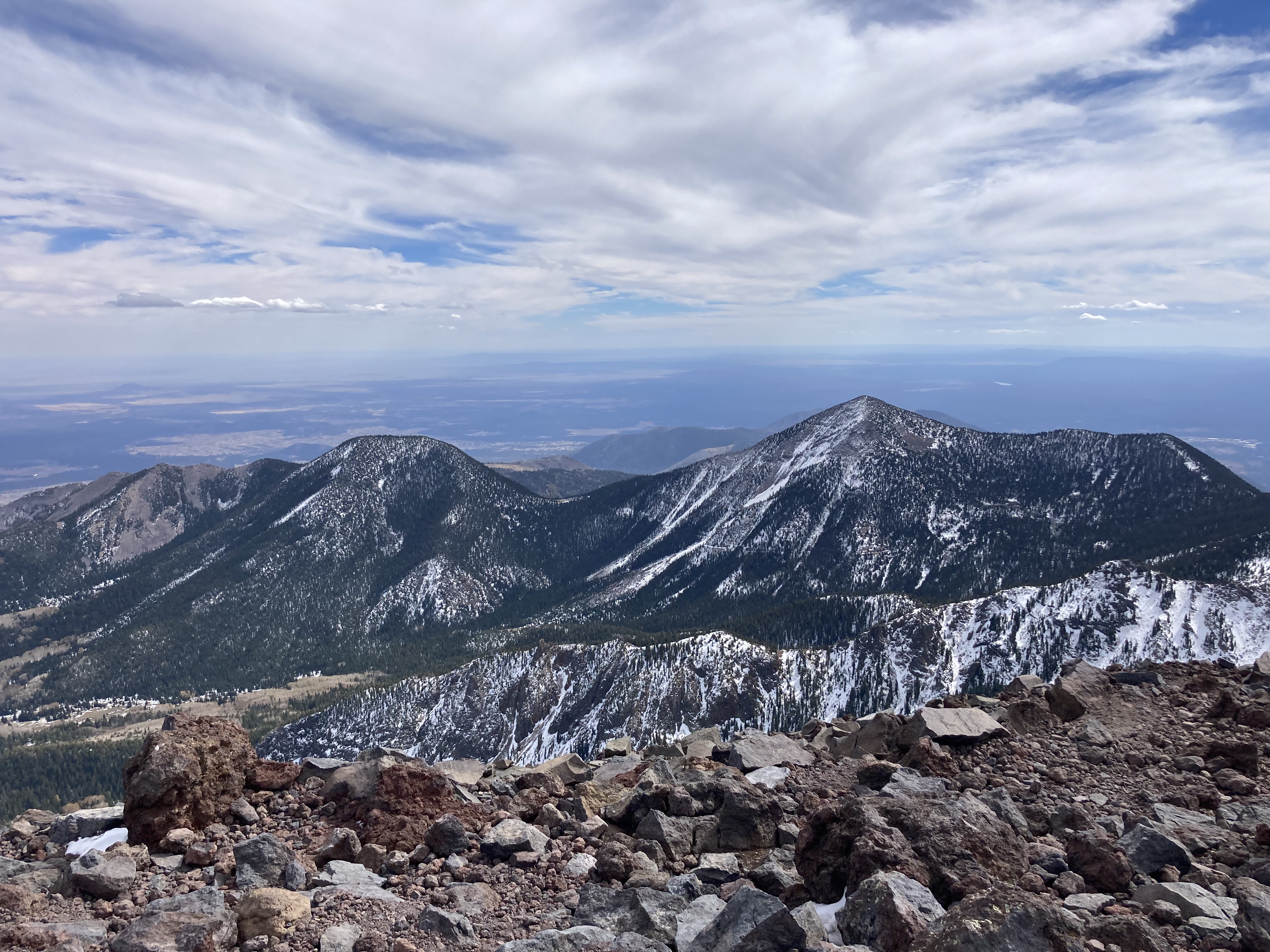
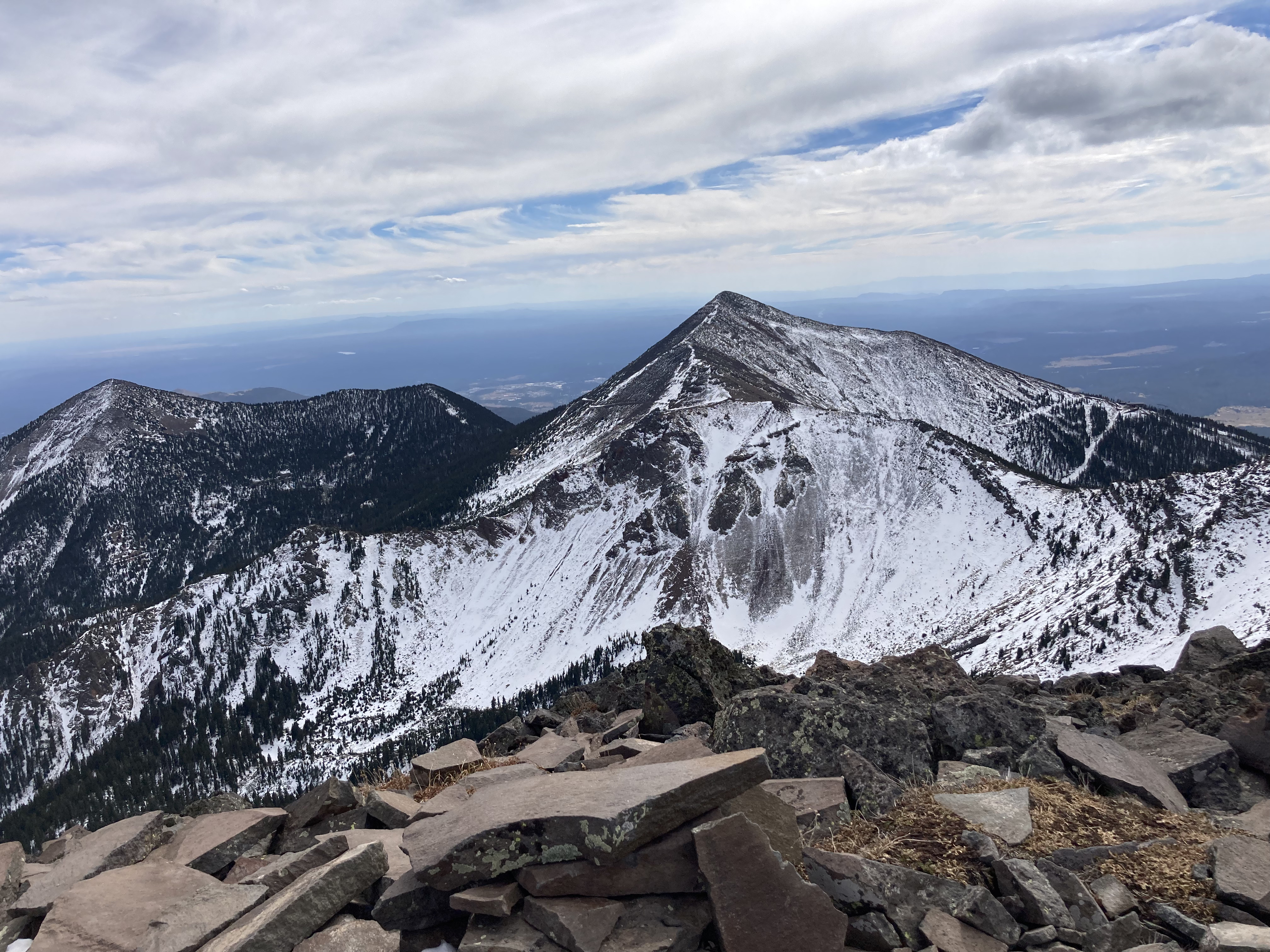
Three things stand out to me from this year’s Humphreys hike: 1) it was really cold and icy on the trail going up, 2) it was SUPER WINDY (and cold) on the summit, and 3) my legs were TIRED at the end. One positive thing about doing this hike in October vs July is that there were absolutely none of the little bugs (gnats?) that are always swarming the summit…probably because of the SUPER HIGH WIND. The wind was so strong that it blew me off-trail several times and almost knocked my phone out of my hand while I was taking photos.
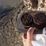
It was a great day despite the wind and cold and I got my hard-earned fries at the end!

Early in the hike and there’s already snow! 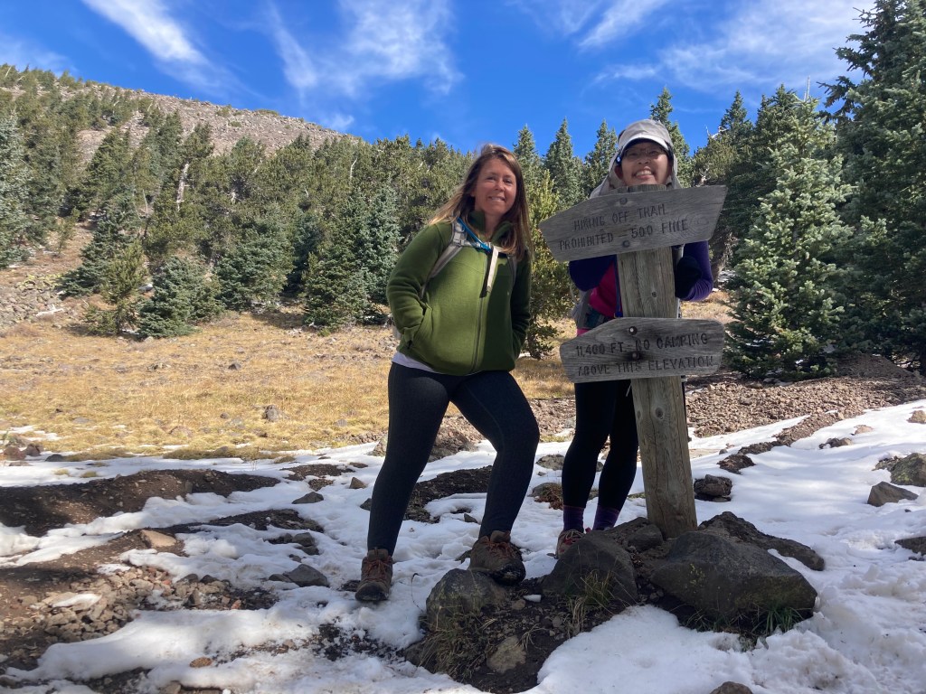
The meadow sign that says we were at 11,400 ft elevation. 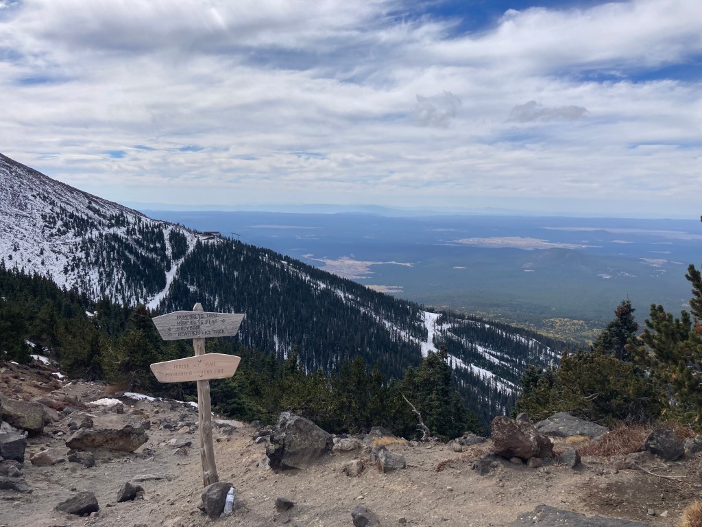
Finally reached the saddle! Only about a mile or so till the top… 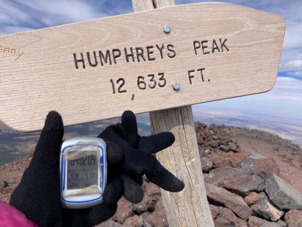
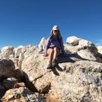
The summit! 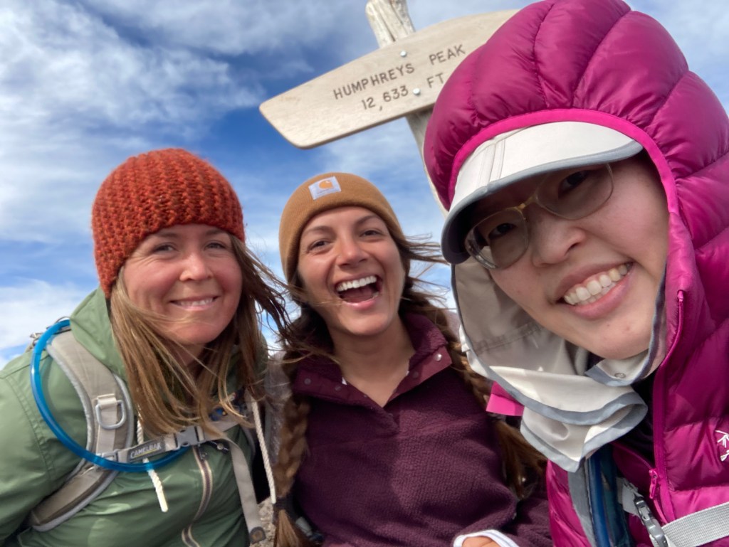
Crystal, Ellie, and me. We’re smiling, but dang, we were cold because it was SO WINDY! 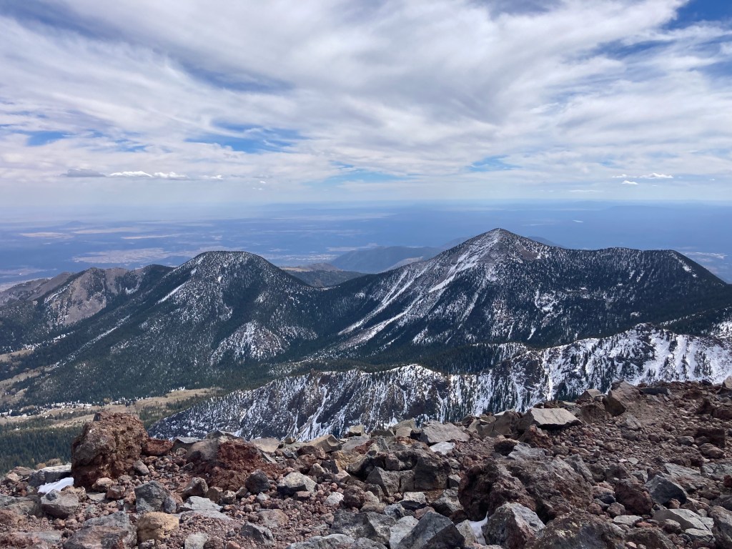
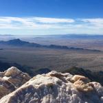
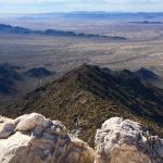
Beautiful view from the top. 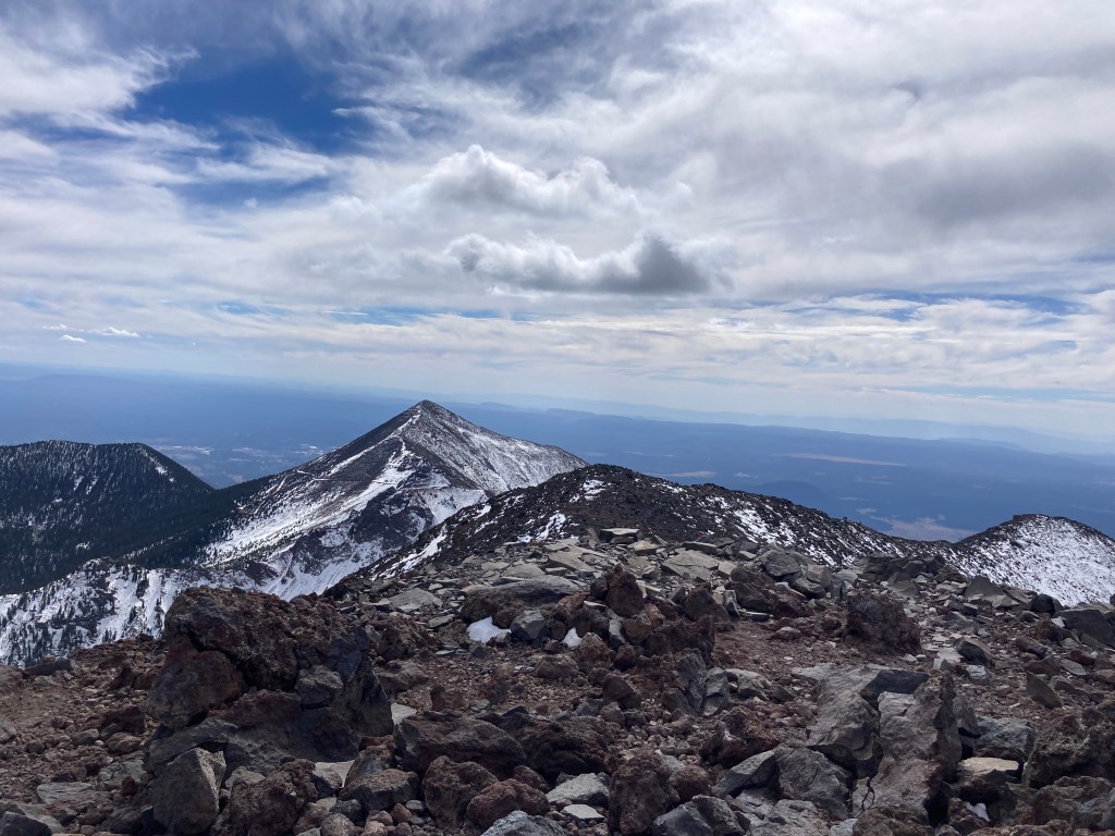
Doesn’t look like Arizona. 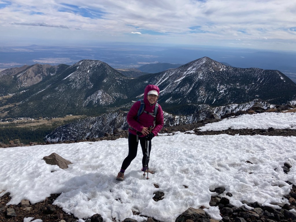
I’m bent over like that because of the strong wind. 
Another beautiful view. 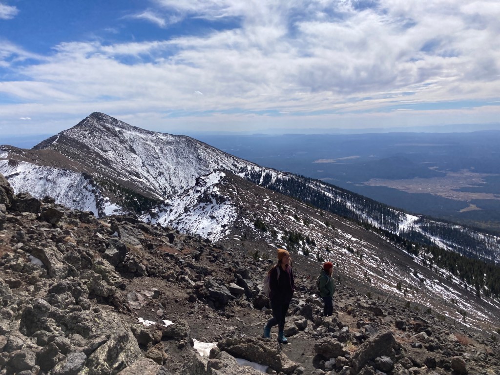
Starting the hike down. 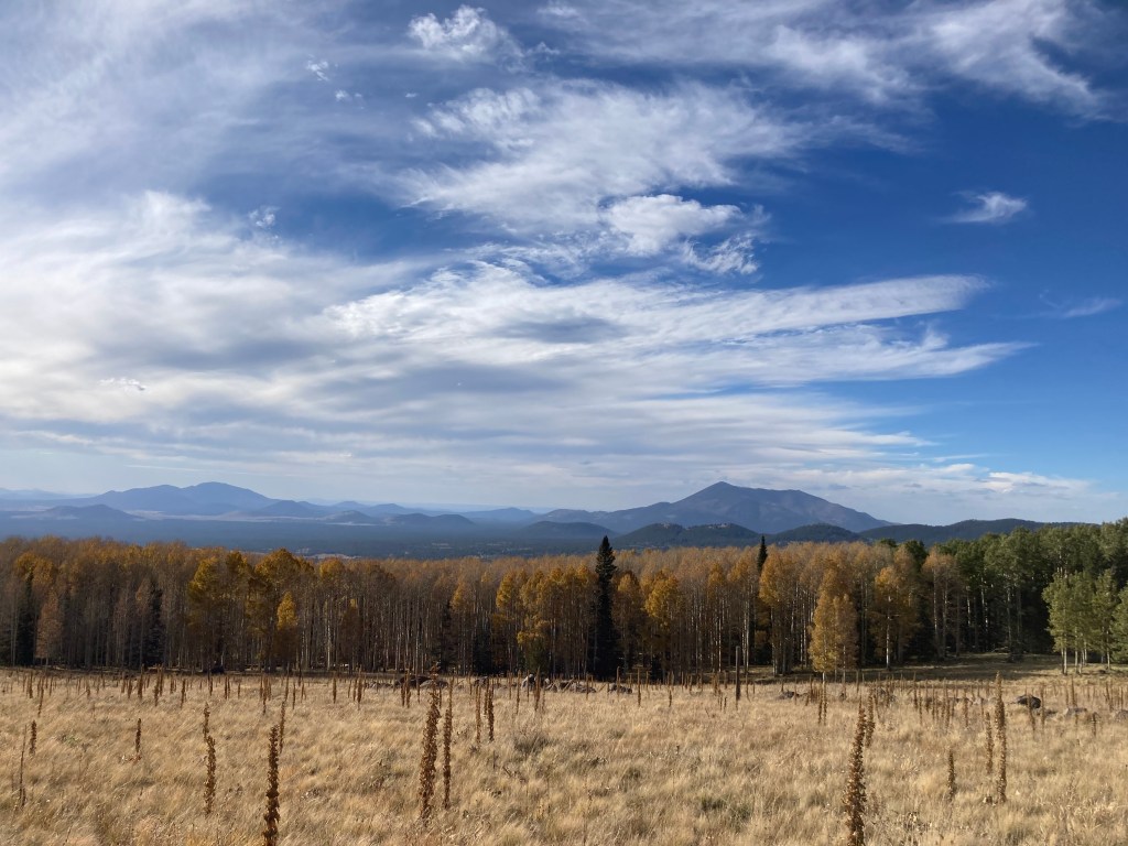
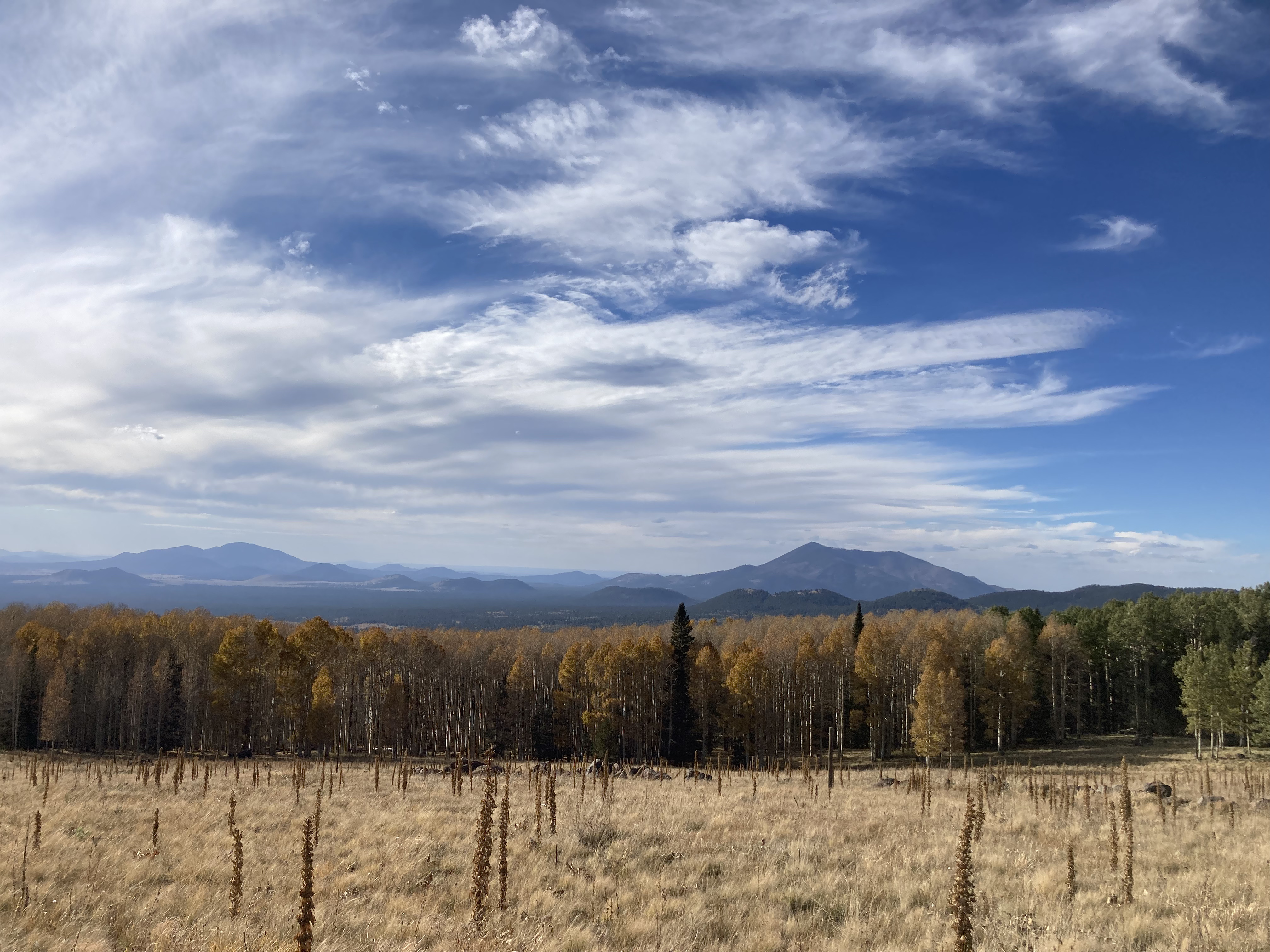
This is at the trailhead. You could still see the yellow aspens. 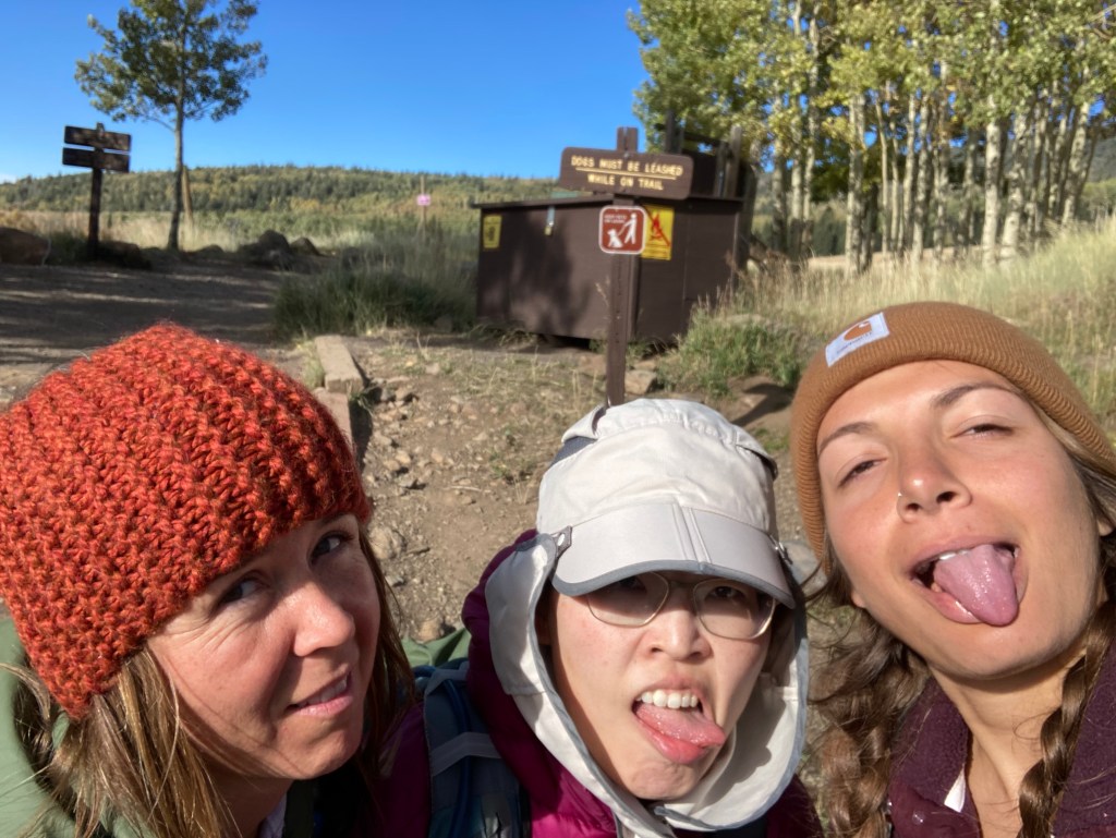
Tired, but victorious. And so very attractive. 😉


Here ends part 1 of my “catch-up blog post.” Stay tuned for part 2!