Another cool little hike

Yesterday, my SAT and I hiked up Picacho Peak with our friend Julia. Picacho Peak is located in Picacho Peak State Park between Casa Grande and Tucson just off of the I-10. The summit is 3,374 feet (1,028 m) above sea level and the name means “big peak” in Spanish. Total distance is about 6 miles (9.7 km) and total elevation gain is about 1780 feet (543 m). Near the top, there are short steep sections that hikers have to climb with the help of steel cables and handrails . When you arrive at the summit you are rewarded with a beautiful 360 degree view of the surrounding Sonoran desert. Fun facts: Picacho Peak has been used as a navigational landmark for hundreds of years, was the site of Arizona’s only Civil War battle, and sits on top of an ancient volcanic lava flow!

(Top row, L to R: early morning light; Picacho Peak is in the top right of the photo; Julia and my SAT at the base of the first set of cables. Middle row, L to R: Julia and I posing on the first set of cables; more cable-assisted climbing; signage. Bottom row, L to R: many Saguaro cacti near the top; can you see the black, volcanic rock in the middle of the photo?; another photo from the summit.)

Beautiful day, beautiful hike, beautiful company…and sore legs. 🙂 I’m glad we did this hike in February; Picacho Peak is NOT recommended in the late spring and summer months, as there is no shade along the entire trail. Bring lots of water, snacks, sunscreen, and hat.

My new friend, Polly

Last weekend, I made a new friend. Her name is Polly. Polly has promised to help me get back into shape and to challenge me in pursuing new outdoor adventures. Some of you may wonder who Polly is and how I met her….well, Polly is really my new mountain bike! Polly is a Pivot Mach 4, black and pink, and pretty cool looking. Here she is: IMG_2130

I ordered Polly from our friends, Carl and Lifan, in Las Vegas. They own Irwin Cycles and are the friendliest bike experts ever! Last Saturday afternoon, my SAT and I drove out to Vegas, picked up Polly, and I test-rode her that night. Despite the ridiculous wind (30 mph), cold (a few degrees above zero celsius), and darkness (it was past sundown when we rode), I was quite happy with my new 2-wheeled buddy. Everything worked perfectly and the pink was an added bonus. The next morning, we joined Carl and Lifan for a lovely inaugural ride in Red Rock Canyon.

FullSizeRender-4

(I am smiling while riding a bike! Will wonders never cease?)

On the way back to Phoenix, my SAT and I stopped in Kingman, AZ to check out Monolith Garden, a slightly hidden “blink and you’ll miss it” area off of the freeway just before entering Kingman. Monolith Garden has a number of trails that are perfect for hiking and mountain biking and feature a lot of volcanic rock. The scenery is really pretty and is worth a visit if you’re in the area. We only rode for 2 miles because it started to rain, but made plans to come back! FullSizeRender-11

(Polly and I checking out Monolith Garden.)

The challenge at the moment is finding time to hang out with Polly. Due to my day job AND my music job, finding spare time to ride is going to be tough. I’m already finding that mountain biking is a totally different ‘animal’ than road biking:

  • no cars to worry about!
  • mountain bikes are heavier than road bikes, which makes for a harder ride (to me)
  • there are rocks on the trails! and my mountain bike is ok with that!
  • mountain biking is harder than road biking (oh, I said that already)

One of my first long-term goals is to ride part of the Arizona Trail in November. I would like to try bikepacking, i.e. biking + backpacking, but I need to build up my fitness, stamina, and mountain bike skills. Wish me (and Polly) luck!

Better late than never

Thanks to the day job and evening music gigs, I haven’t had as much time for updating this blog. But I do now! Thank you, long weekend. 🙂

In early December, my SAT (self-appointed trainer), our friend Julia, and I successfully climbed Siphon Draw in the Superstition mountain range, about an hour’s drive east of Phoenix. The hike is located in Lost Dutchman State Park and is a popular one with hikers who want a good cardio workout and some rock scrambling, i.e. using hands and feet to climb up rocks. At the most strenuous part of the hike, you gain about 1800 feet in one mile. That is definitely a challenge! The trail is fairly easy to follow and the views from the top are stunning. There is a small detour near the top to what is locally called the “Flatiron,” which refers to the cliff face you can see when you start the hike.

One event that cramped my style during this hike was, er, a pretty bad leg cramp. I guess I didn’t have enough electrolytes or something…again. All I know is that after climbing that one mile with 1800 feet of elevation and reaching the saddle, my right leg suddenly seized up and cramped up to the point I actually uttered a small scream of pain. Sigh. I’m glad Julia had some extra magical electrolyte juice with her as I didn’t have any such thing with me. Lesson learned. After hobbling up the rest of the way to the summit, my leg seemed to calm down and *I* seemed to calm down!

(Photo 1: the flat rock formation in the top left is the Flatiron; Photo 2: rock towers along the hike; Photo 3: at the top!; Photo 4: otherworldly scenery.)

~~~~~~~~~~

New Year’s weekend was a really fun one because we had friends from Vegas come and visit us. Carl and Lifan are avid mountain bikers and co-own a shop in Las Vegas called Irwin Cycles. [N.B. They are awesome people and make sick bikes better. I call Carl the “Bike Whisperer.” They also love dogs and their shop is very dog-friendly!] Anyway, while we lived in Vegas, both of them tried really hard to convert me to mountain biking, but due to lack of time, lack of funds, and lack of a desire to hurl myself onto rocks (haha), that desire did not become reality.

However, I rented a mountain bike (Giant Bikes’ Liv Lust) in anticipation of our weekend together and rode with them on some local trails and had a really fun time. In fact, I had such a good time that my SAT (i.e., self-appointed trainer) and I are presently looking for a mountain bike for little ol’ me. Let me say two things right here: 1) my SAT is beyond stoked (that means “really happy” for those parental types who may be reading this blog) that I am actually interested in mountain biking and 2) I can’t believe that I’m actually interested in mountain biking. After all, I am the “reluctant roadie” and didn’t give mountain biking a passing thought while suffering on my many road bike rides in preparation for my double century. After all, mountain biking meant I had to buy another bike, carve out time to ride said bike, and potentially get sucked into enduring conversations with my SAT about mountain bike parts, mountain bike races, mountain bike trails….I wanted to help my SAT expand his interests, not focus on one activity.

Turns out I’m the one whose horizons are expanding….!

(Photo 1: pretty Sonoran desert; Photo 2: I’m riding a mountain bike!;  Photo 3: Carl, my SAT, and Lifan riding down to meet me. )

Teaser post

Happy New Year, dear readers! I hope that all of you enjoyed a restful and joyful holiday season. My holiday was shorter than normal, due to a new full-time day job (i.e., no vacation days) and rehearsals and concerts every evening for 2 straight months. I was very happy when Christmas Day rolled around!

I plan on updating this blog on the weekend, as I want to chronicle a fantastic local day hike, an awesome New Year’s weekend, and a new chapter in my outdoor adventuring. Check back next week for some new stories!  🙂

Change of plans

Well, folks, my idea of cycling down to Yuma for Thanksgiving is not happening this year due to a new job!  I have a new day job that precludes bike training (and I have nighttime gigs until Christmas that will further sap my mental and physical energy).  However, jobs = good reason to stop bike training.  That said, I look forward to Christmas festivities and adventures….all the way into 2016.  I’ve been doing little bits of research on outdoor adventures in AZ and there are a lot of places to visit.  The weather is simply marvelous now (finally) and it’s super fun to be able to go outside and not burn to death.  Daytime high temperatures now are in the low 70F / 20C.  Totally bearable!  Stay warm — or cool wherever you are — and stay safe!  I will update this blog in the next few weeks, hopefully with some pictures of holiday happenings.  🙂

….pumpkin spice is in the air….

Hello dear readers!  It is officially autumn in the western hemisphere, although we Phoenicians have yet to enjoy “cool” weather.  Today’s high is 100F / 37C.  Yes, it is STILL HOT.  But the mornings are cool, at least…..I can’t believe it’s been a month since my last post!  Despite my infrequent posts, I am happy to report that I have not been adventuring as much because of work.  Ever since the end of August, I’ve been talking with various music connections in order to grow my freelance business.  At this point, I have a steady choir accompanying job, several other accompanying gigs, and a recital in Prescott, AZ next month.  However, all work and no play makes me cranky and irritable, so this blog post will chronicle a few fun things that we have been fortunate to experience.

Two weekends ago, my “self-appointed trainer” (or, SAT) and I checked out a road cycling route that goes by Usery Pass in the northeast corner of the greater Phoenix metropolitan area.  This area is visited often by mountain bikers and hikers looking for easy to intermediate trails to enjoy.  Our road ride began innocently enough, with lots of easy flat miles as we rode out of town.  However, we did not know that we would get a little rain nor did we plan on a flat tire (I’ve been getting a lot of flats lately and have reached that mental riding state called “tire paranoia” — I now expect flats and other mechanical issues each time I ride.).  After my SAT fixed my flat, we reached the climbing portion of the ride, during which we stopped for a few minutes to wait out the wind and rain.  Despite those little mishaps, the rest of the ride went smoothly and we treated ourselves to fresh bagels at our local bagel shop when we finished pedaling.

Last weekend, we checked out Oktoberfest with a couple of friends and I finally did something we talked about for a long time: commuting to an event by bike.  Oktoberfest took place really close to my SAT’s workplace, so I decided to ride my bike to his building instead of driving.  Parking would have been a pain in the butt and expensive, so cycling just seemed like the obvious choice.  Too bad I got a flat tire on the way there….good thing I was almost at my SAT’s building (maybe I should start calling him my self-appointed mechanic?).  Oktoberfest itself was loud and full of beer, as one may expect.  We enjoyed some drinks, German food, and good company.

FullSizeRender-1 FullSizeRender-10

(Photo 1: bicycle valet parking at Oktoberfest; Photo 2: amusement park rides at Oktoberfest.)

In retrospect, the food and drinks consumed at Oktoberfest can be considered ‘carb loading’ — the next ride we did was, sadly, MY idea: let’s ride our bikes to Tortilla Flat!  It’s “only” 90 miles or so!  It won’t be THAT big of an increase in distance from last week!  (The Usery Pass ride turned out to be 67 miles.)  Well, the Tortilla Flat ride turned out to be 105 miles, which is a BIG increase in mileage from the previous week’s “big” ride.  It was also a very warm day for a century ride (my first AZ century!), especially since the bulk of the climbing was done in the hottest part of the day.  Thankfully, I did not get any leg cramps or suffer from dehydration.  I just suffered from poor decision making (i.e., choosing to do this ride in the heat).  There was some pretty scenery along the way, as our route took us through the Superstition Mountains, Lost Dutchman State Park and along Canyon Lake.  Our steepest climb was probably a 6% grade, which made the descent VERY fast (I hit 40 mph!).  We treated ourselves to Mexican food after the ride to replenish our salts and spirits.

IMG_1097 IMG_1095IMG_1778 FullSizeRender-2FullSizeRender-5 FullSizeRender-6

(Canyon Lake is one major point of interest along the ride.  It is about 5 miles from the “end of the pavement,” or EOP.  You can see the EOP in photo 4; most high-clearance vehicles can probably navigate the dirt road, but we did not have a choice!  Tortilla Flat is a small unincorporated community located in the central part of the state, northeast of Apache Junction.  It started out as a stagecoach stop in 1904.  Today, it is the last surviving stagecoach stop along the Apache Trail and an authentic remnant of an old west town.  Population is apparently 6 people!)

So, why are we doing all this riding?  We have this crazy idea of riding our bikes down to Yuma, AZ for Thanksgiving weekend to visit my retiree parents who spend the winter there.  In order to have a viable chance at completing our goal, we have to train.  (Of course, if my work schedule changes — which it does frequently – then I will have to bow out of this endeavor.)  There is madness to this method (lots of pain on the bike) and a method to this madness (lots of pain on the bike).  Stay tuned for more two-wheeled pain and suffering….

Enjoying the greenery in Greer, AZ

This weekend, I had the pleasure of spending some time with some friends in Greer, AZ for a spontaneous girls’ weekend.  The main draw of this trip was the cooler climate in Greer; current temperatures in Phoenix are STILL hitting the mid-90s (that’s around 35-36c for my Canadian friends).  While those temperatures are better than 110f, we Phoenicians are still warm.  Greer is about a 4.5 hour drive east of Phoenix and sits at 8300 ft, which means that average daytime temperatures right now are in the high 60s (about 20c).  MUCH better.  We all enjoyed feeling cold and delighted in walking around outside while wearing a jacket.  The drive up is absolutely lovely; you will see lush green forest, some red rock hills reminiscent of the Grand Canyon, and plenty of farm meadows.

IMG_1662IMG_1666IMG_1667IMG_1671

(Absolutely beautiful area!)

Greer is a tiny village (year-round population is about 50) that caters to the outdoor adventurer.  Because the location is rather remote, you are guaranteed peace and quiet.  Visitors come to camp, fish, hike, mountain bike, and ski.  Greer is nestled in Arizona’s White Mountain range and is surrounded by the Apache-Sitgreaves National Forest, both of which contribute to the stunning landscape we enjoyed all weekend.  We rented a cabin at the Greer Lodge Resort which was right on the river and only a few minutes’ walk from the village center.  I would love to come back and spend more time here exploring the area and climbing all the mountains!

Speaking of hiking, that was one of my goals this weekend; I knew that Mt. Baldy was nearby and its summit was calling my name.  Bagging the 7th highest peak in Arizona would have been a fantastic way to crown the weekend, but alas, it was not to be.  My friend, Katie, and I enthusiastically set off for the East Fork Baldy trail Saturday morning and kept repeating things like “it’s SO pretty here!”….”I love the weather!”….”Did you see that lightning?”

Yes, we heard much thunder and saw lightning and decided to turn around just before the halfway point up the mountain.  Rule #1: safety first.  The East Fork trail up Mt. Baldy is well marked and offers fantastic views of the valley.  It is a 7 mile trail to (almost) the top with about 2100 ft of elevation gain.  I say “almost” because the actual summit is on reservation land and is closed to non-tribal members.  I am not certain if permits are required to access the summit (perhaps disregarding the rule regarding non-tribal members would work as well….?).  We saw plenty of green forest, cool rock formations, and wildlife while breathing in the crisp mountain air.

IMG_1693IMG_1694

(Start of the 7 mile trail up Mt. Baldy; Blue sky on left, ominous clouds on right.)

IMG_1698IMG_1715

(Cool rock partway up trail; Katie and I at our turnaround point.)

IMG_1717IMG_1720

IMG_1723IMG_1722

(Cool rock formations and all-around great views.)

IMG_1725IMG_1726

(Cute chipmunk; Horseback riders going into the rainclouds.)

The rest of our time in Greer was spent with the rest of our group window-shopping at a few of the quaint antiques shops, eating cobbler from the diner, and having a hotdog roast at our cabin.  Tough life!  All in all, it was a relaxing weekend with good company and beautiful views.

IMG_1736 IMG_1731

(Interior of the Rendezvous Diner; The scenery behind our cabin.)

IMG_1730 IMG_1727

(Do you see what I see in the tree?; Adorable locomotive train in the village.)

The only thing constant in life is change

I am not doing Sufferfest 2.  I am not doing it because I am going to a friend’s wedding and accompanying a choral concert that day.  Part of me is sad (really!) because I do miss having a goal for which to train.  The bigger part of me, though, is relieved (and by “bigger,” I mean my rear end), as Sufferfest is really really hard.

That said, I have a new goal!  My SAT (“self-appointed trainer” for you new readers) and I were brainstorming ideas for an EPIC challenge, something CRAZY and DIFFICULT that would force us and inspire us to get off of our butts and get more active.  Strangely enough, we both agreed on the same idea: riding our bikes to Yuma.  From Phoenix.  In one day.  That distance is just under 200 miles (322 km) and should be possible with the right training and attitude.  After all, I do have experience riding long distances (remember why I started this blog?) and following a training plan.  I think the funny part of this new challenge is that we will be heading to the same city in which my double century occurred and will be attempting close to the same number of miles.  Why Yuma again?  Well, my parents are retired and like to spend the winter in Yuma (the alternative is spending the winter in their native Canada….cold temperatures do not agree with my folks).  We thought we would cycle to Yuma and spend Thanksgiving weekend with them, then cycle back home.  [Author’s note: I have not yet told my parents of this plan, as nothing is definite.  However, since my mother subscribes to this blog, I am wondering how long it will take her to contact me about this cycling idea after reading this post.]

I am praying that the temperatures in Phoenix will continue to cool down soon so that my SAT and I will have the motivation and desire to get outside and train.  I won’t have a chance to start training until after the weekend, as I will be taking a little trip to Greer, AZ with some friends (update on that next week). I plan on enjoying my last weekend of pain-free living!

Exercising my right to choose…

Wow, it’s been a month since I last posted on this (poor, neglected) blog!  Thanks so much, desert sun and scorching temperatures, for giving me so many excuses to avoid getting outside and get out of shape (thus preventing me from having anything interesting about which to blog).  I suppose there have been other distractions taking my attention away from exercise and general fitness; after all, we DID move to a new city, start new jobs (2 different accompanying jobs in my case at this very moment), start house renovations, meet new people….however, today I got an invitation to participate in Sufferfest 2, currently scheduled for October 24, 2015 in Las Vegas, NV.  I managed to survive through Sufferfest 1 earlier this year and can claim bragging rights (and memories of sore legs).  How challenging/stupid/insane would it be to train for Sufferfest 2?  As a reminder to myself, Sufferfest 1 consisted of 2 laps of the Red Rock loop followed by the big climb up Mt. Potosi, followed by one more lap of the Red Rock loop.  For voluntary fun.  Sufferfest 2, as one may have guessed, is a bit more intense: 2 laps of the Red Rock loop, 1 climb up Mt. Potosi, then TWO laps of the Red Rock loop.  Gross.  Should I survive SF2 and am drugged or coerced into doing Sufferfest 3, let me state for the record that SF3 is made up of 2 Red Rock loops….TWO climbs up Potosi, then TWO more Red Rock loops.  I don’t think there are enough French fries in the world to tempt me to do SF3, but I know that I have done stupid things before (e.g., my double century….).

There are a few factors that may deter me from doing any Sufferfest: 1) the heat.  It is not going to get cool — i.e., lower than 35c/95F — until end of September.  2) Lack of hills on which to train.  Phoenix is not exactly known for its abundance of hill climbs.  I would have to make frequent trips out of town to get my climbing miles in.  I would also have to consider doing numerous repeat laps of South Mountain, which is the only hill of significance close to my house.  How utterly boring!  3) My music schedule: at the moment, I have 2 nighttime accompanying jobs.  I expect to start a daytime accompanying job in the next week or so and add a few more things into my schedule, including private teaching.  Fitting in bike training will be a challenge, especially for an event with the word “suffer” in the name.

The other physical challenge on my mind for later in the year is a multi-summit hiking day in and around the Phoenix area.  I wanted to register for the Phoenix Summit Challenge, but the likelihood of having a paying “gig” (that’s a paying music job for those of you who are not musicians) on that Saturday is pretty high.  I also had a problem with paying a fee to do something that was local.  Thus, I am seriously thinking of organizing my own multi-summit day and do that with some friends.  This event would also require some training, although it would be easier to do that, given that I live right beside a mountain and like hiking (it’s my outdoor activity of choice).  Any of my devoted readers interested in doing this with me?  Whatever I choose to do — or not do — I know that I have to find some sort of exercise if I don’t want to acquire “pianist’s butt.”  🙂

Back to the centre of the sun….

I am now back in PHX (aka, the centre of the sun) and am reflecting on the past few weeks of musical activity at the Institute for Young Dramatic Voices.  This program is geared for the “large” voice (think Wagner!) and I was a faculty pianist for it.  The first few days of any music program I have attended always seem overwhelming and never-ending as I adjust to new schedules and musical expectations.  Then, routine sets in and time flies by as lessons and coachings are given, ideas absorbed, and goals set.  The last night of the Institute featured a concert that showcased all of the 21 singers.  Each one of them sang beautifully and demonstrated the rewards of all the hard work over the past 3 weeks.  I had a great time here in Reno and feel very fortunate to have been invited to collaborate with the other faculty; all are top music professionals and are genuinely good people to boot.  All of us observed that we all actually LIKE each other and ENJOY being in each other’s company (case in point: some of us spent our free time hiking together and exploring the gorgeous natural scenery around us).  I intend to use the positive musical momentum from this program to kickstart my career in Phoenix; as anyone who has ever relocated knows, it can be challenging to restart one’s career in a new city, especially when social networks and contacts are lacking.  (That said, if any of you readers know of people or musical organizations in Phoenix that need a pianist, piano teacher, or accompanist, please forward my name to them!)

IMG_1272IMG_1436IMG_1416IMG_1420

(Photo 1: Reno Riverwalk.  Sadly, the river level was pretty low this summer.; Photo 2: the iconic Reno arch; Photo 3: beautiful “cotton candy” clouds I saw during an evening walk; Photo 4: another gorgeous night sky!)

IMG_1303IMG_1296IMG_1299IMG_1311

(The above 4 photos are from a party that the Institute attended.  Our host had an amazing property; he built his own Wild West-themed town from scratch….he also designed and built his own 18-hole mini golf course.  And let’s not forget the actual working train that encircled the entire property!  Amazing party house!)

IMG_1386 IMG_1362

(Photo 1: beautiful flowers during my hike up Mt. Rose; Photo 2: top of Mt. Rose, NV, elevation 10,700ft (3261 m)!  Lake Tahoe is in the background.)

IMG_1447 IMG_1446

(Before the final concert!)

“Spinning” around in Reno

I’ve now been in Reno for one week and have heard a LOT of operatic singing.  There are a lot of talented singers at this program and they are working very hard to process all of the information doled out to them in lessons and public masterclasses.  All of the faculty are housed in extended-stay hotel accommodation, which is terrific because we all have our own rooms with a kitchenette, giving us the option of cooking our own food.  As hotel guests, we receive a discount for a gym pass at the gym down the street.  Hooray!  I bought a pro-rated gym pass for the duration of my stay and have been really impressed by the quality of the facility.  One of my goals while in Reno is to maintain a basic level of exercise.  That is the reason I checked out a spin class yesterday morning.  “Spinning” is a type of group fitness class conducted on a special stationary bicycle that focuses on endurance, strength, and high intensity.  I thought I would try it to work out my neglected leg muscles.  It wasn’t too bad.  The instructor would yell out the number of turns we had to turn the dial up or down to increase or decrease resistance.  She would then direct us to stand (and pedal furiously) or sit (and pedal furiously), all the while urging us to “push it!”  The hour-long class ended with some stretching.  During the entire hour, I had 4 thoughts that kept circling around in my brain:

  1. I would rather be outside riding a bike than be inside and pretend to ride up a big hill (I know, I didn’t think I’d think that either!).
  2. I have never had sweat sting my eyes before (this was because the class was in a small room with only fans to promote air circulation….I wasn’t working THAT hard!).
  3. Why was the room not air-conditioned?
  4. The seat of my stationary bike was way too cushy and padded.

I think I’m a bike snob now.  At least I got a workout in yesterday!

~~~~~~~

Today, two of my colleagues and I decided to do a day hike in Tahoe National Forest.  It was such a pretty hike and we all agreed that it was the perfect thing to do on our day off.  While we would have liked to have seen Lake Tahoe, we thought that a shorter outing would suffice for today.  (I plan on visiting Lake Tahoe next Sunday and hope to hike there as well.)  We hiked the Five Lakes trail and saw beautiful granite cliffs, many shades of green, and peaceful lakes.  Since one picture is worth a thousand words, I will stop writing and show you many thousands of words with the following pictures!

IMG_1176 IMG_1165

IMG_1180IMG_1190IMG_1184IMG_1192 IMG_1198 IMG_1205

Staycation spin

Last week, I realized we didn’t have any plans for the long weekend.  My SAT (that would be my “self-appointed trainer,” for those of you new to my blog) and I discussed a few camping options and decided that camping sounded like too much work, especially when I would be leaving right after the long weekend for a short-term opera accompanying job.  “Eureka!” I exclaimed.  “Let us partake in a staycation and take advantage of the sweet summer deals in town!  After all, there should be a plethora of discounts at this time of year because no one in his or her right mind would intentionally plan on visiting Phoenix in the summer!”  So, we did partake in a staycation and it was indeed relaxing.  We spent the 4th of July weekend at a charming resort in Fountain Hills, a golf-oriented community nestled in the foothills of the McDowell Mountain Range, about 20 miles northeast of central Phoenix.

IMG_1111

(View of our resort.)

It was a delightful stay, full of good food, nice weather, and yes, even some cycling.  We started both days with a bike ride, mainly to create a calorie deficit for the impending (over)consumption of food to follow.

The main point of this blog entry, though, is to record my second bike ride of the weekend.  Why?  Well, that bike ride featured the most climbing I have done since moving to Phoenix.  When I was training for my double century in Las Vegas waaayyy back in January and February, my rides included a respectable amount of elevation gained by blood, sweat, and (mostly) tears.  A typical 50 mile training ride would encompass 3500-4000 feet of gain.  Here in Phoenix, the terrain is flat and my normal 30 mile ride boasts an impressive 700 feet.  However, my second staycation spin featured almost 2500 feet of climbing!  Ok, so I only biked 32 miles.  But it was like biking 40 miles with all that elevation, right?  One cool segment we discovered was a wicked 18% downhill descent; according to my cycling computer, I hit 44.5 mph going down that hill!  That is the fastest speed I have attained on my bike to date.  It was really fun!  Sadly, going back UP that hill was a grind….ah, who am I kidding?  Like I would bike up that hill.

IMG_1119IMG_1114

(I was almost 10 mph over the speed limit!; Pretty mountains.)

IMG_1112Screen Shot 2015-07-06 at 6.45.01 PM

(Pretty morning light.; Official stats of the ride.)

My goal for the next few weeks is to make time for a few good workouts per week, continue to eat as vegan as I can (I have a kitchenette in my hotel room but very limited time to cook), and abstain from excess sugar (i.e, no Coke/soda pop, processed sugar).  I have another adventure on the horizon a couple of weeks after I return home, so it behooves me to be good over the next while!

The Jug (full o’water)

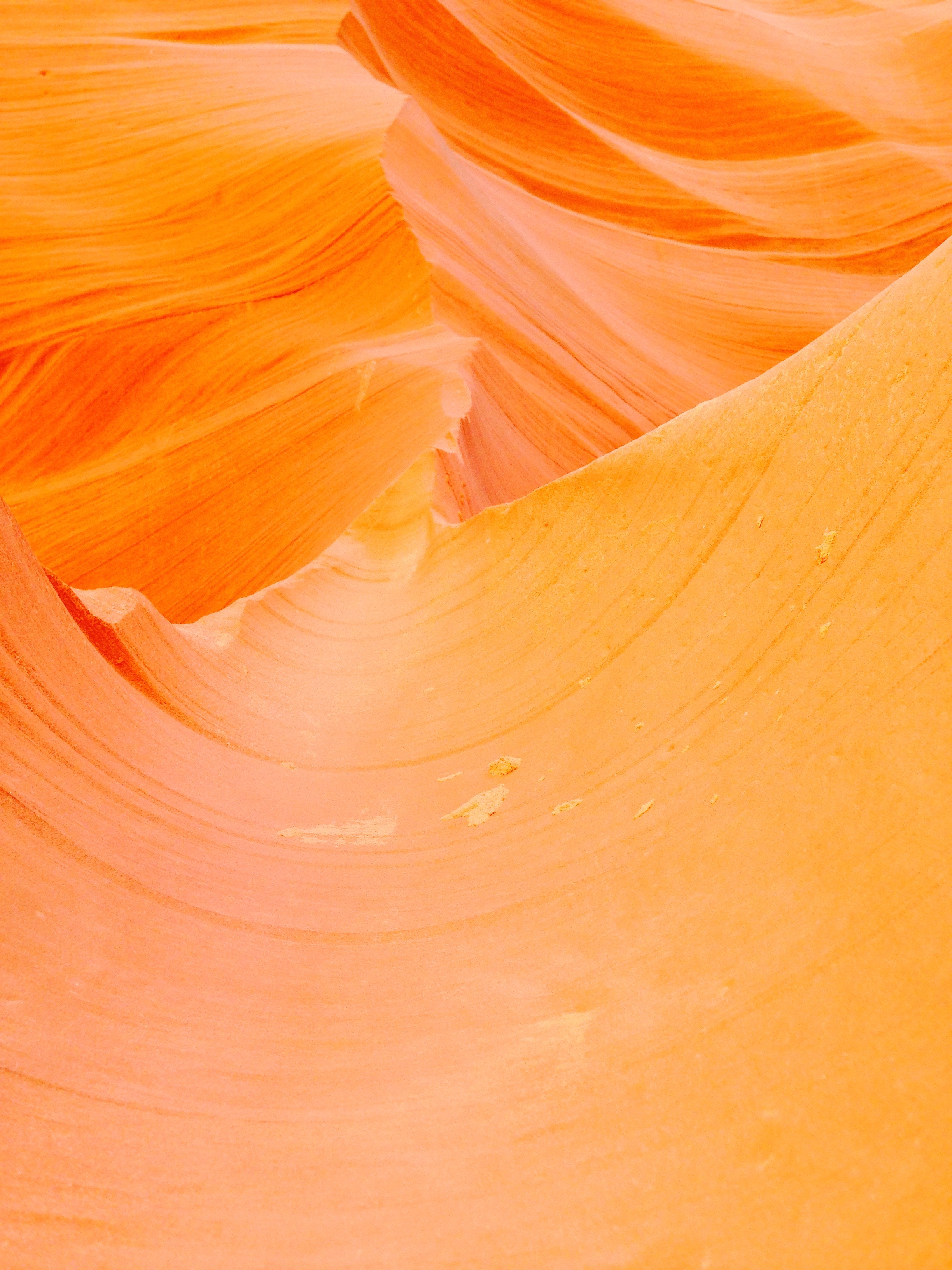
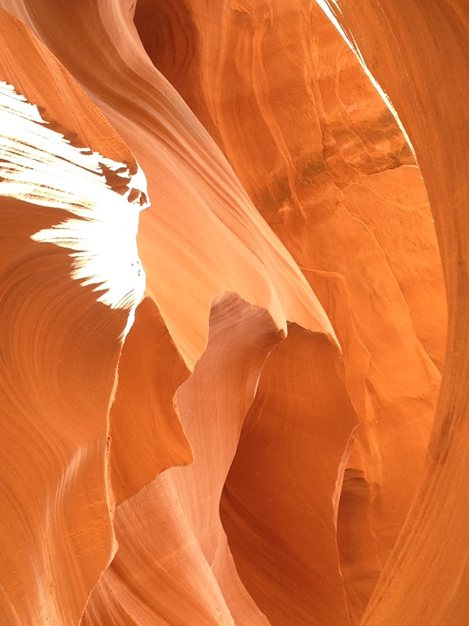
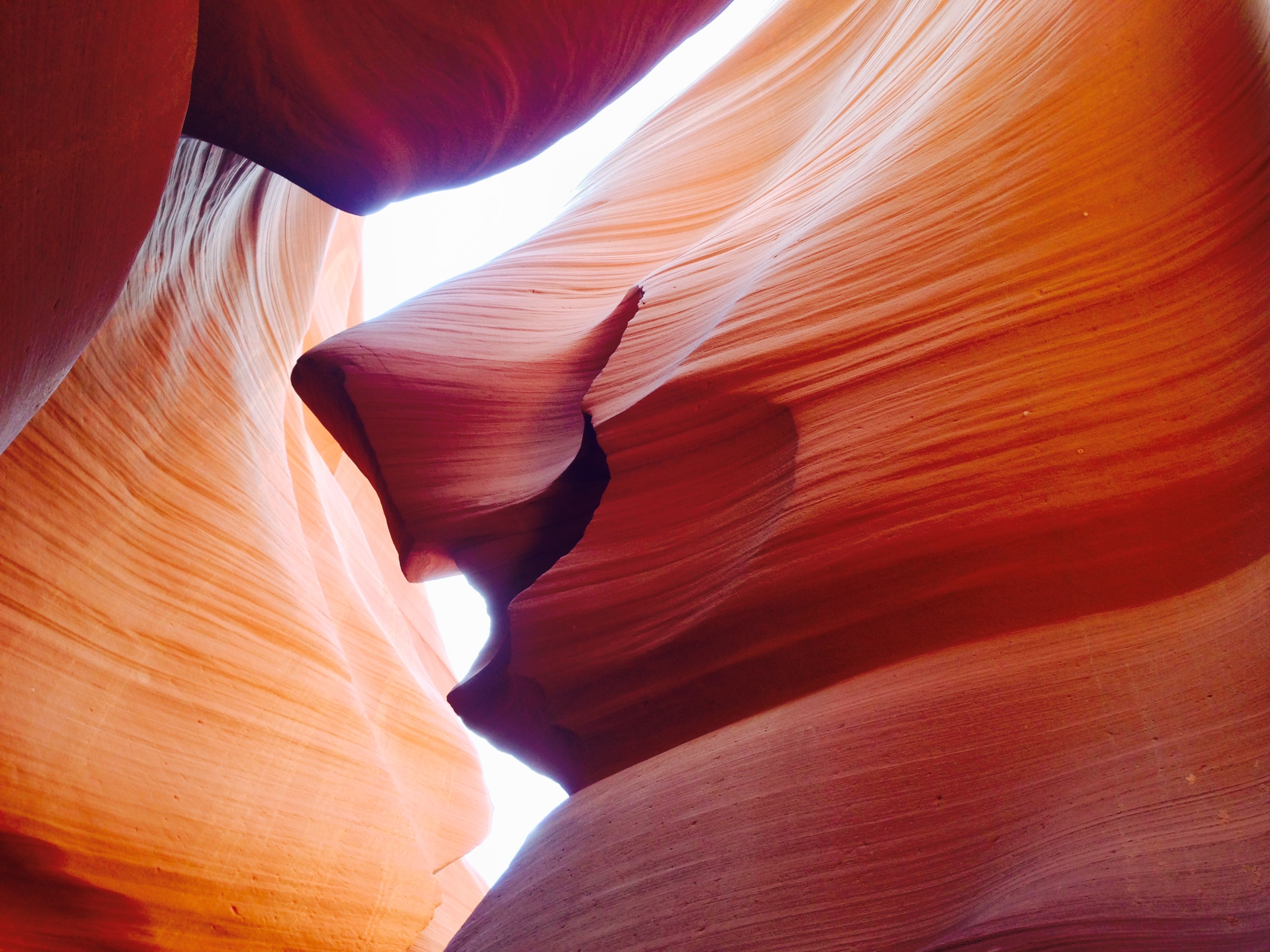
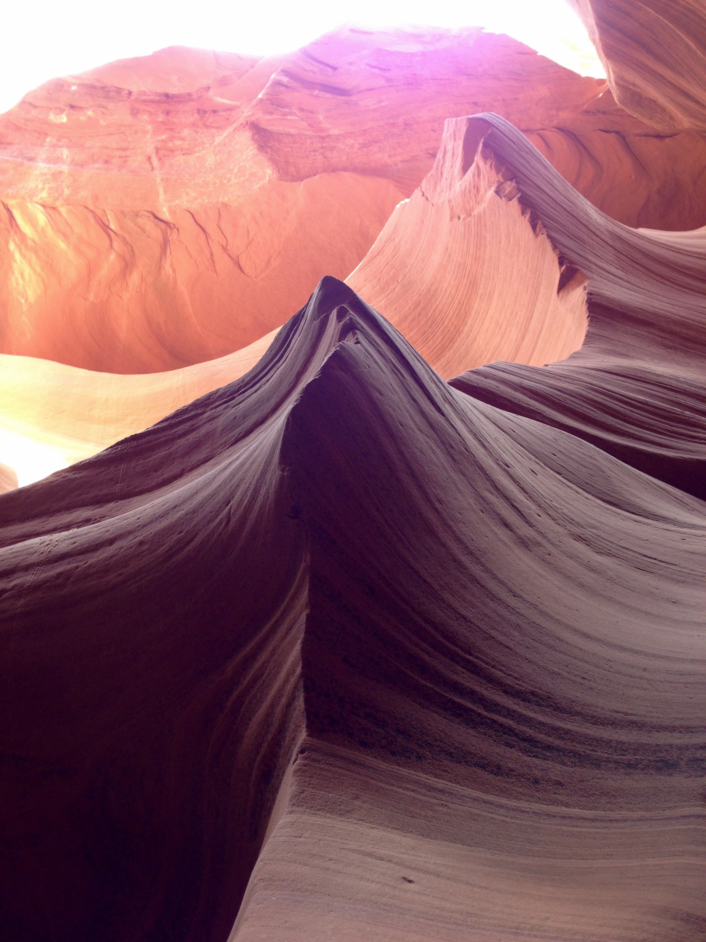
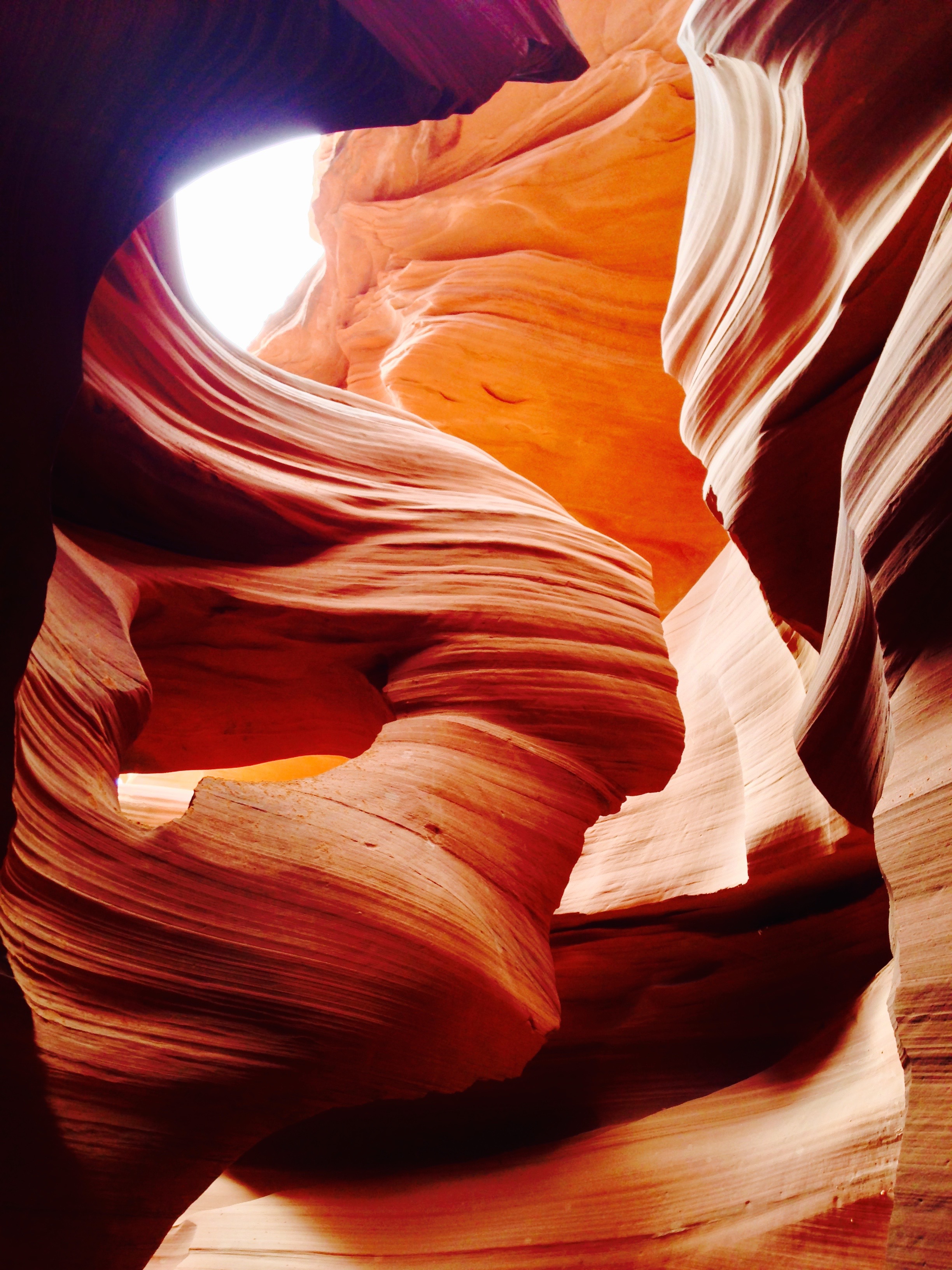
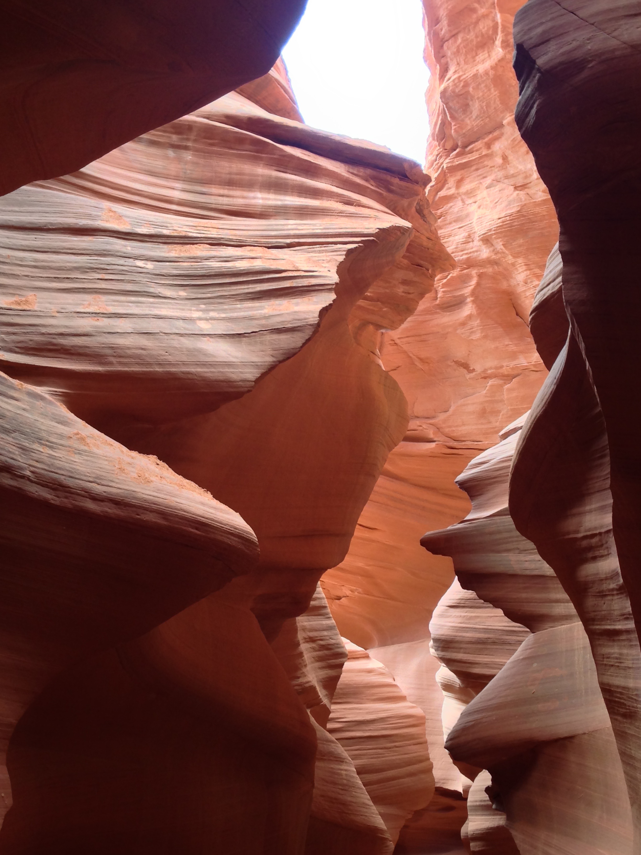
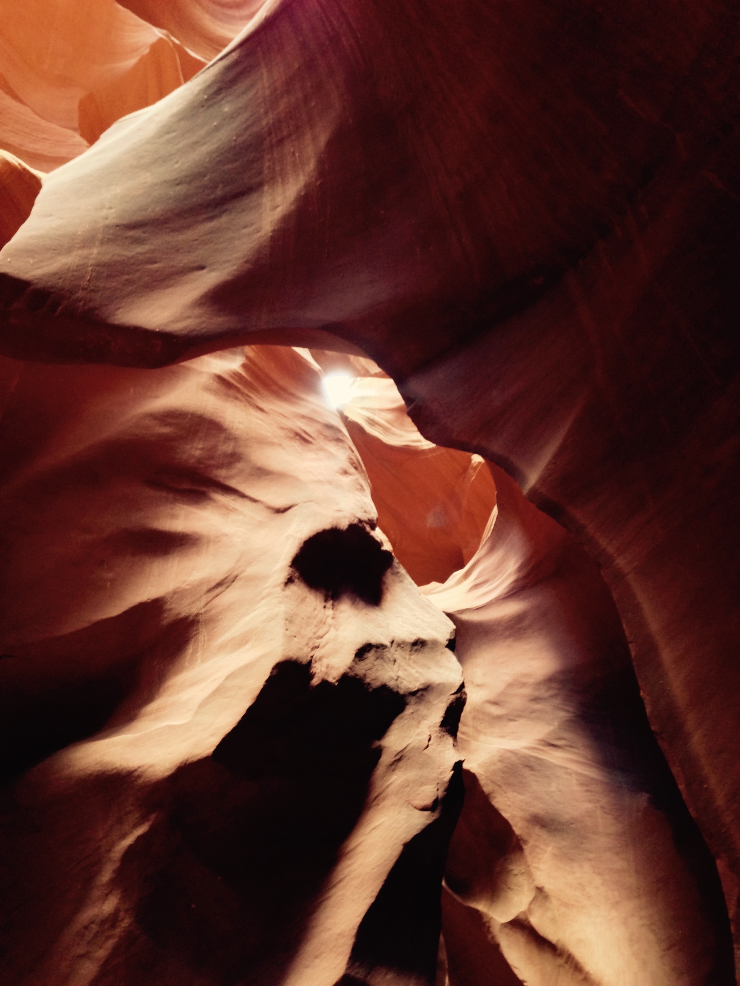
Last weekend, a group of us decided to check out Salome Canyon, just outside of Punkin Center, AZ (yes, it is “Punkin” and not “Puking,” as my old, tired eyes kept thinking!).  Why go hours out of our way to check out an old canyon?  Because “The Jug” is in it!  The Jug is the lower portion of Salome Canyon and contains enough challenges to make it a ‘canyoneering adventure,’ according to summitpost.org.  The bonus part of the hike/adventure is that a good portion of the day was spent in water, which was a welcome diversion, as daily temperatures in Phoenix easily and normally reach a high of 45-47C (110-115F).

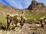
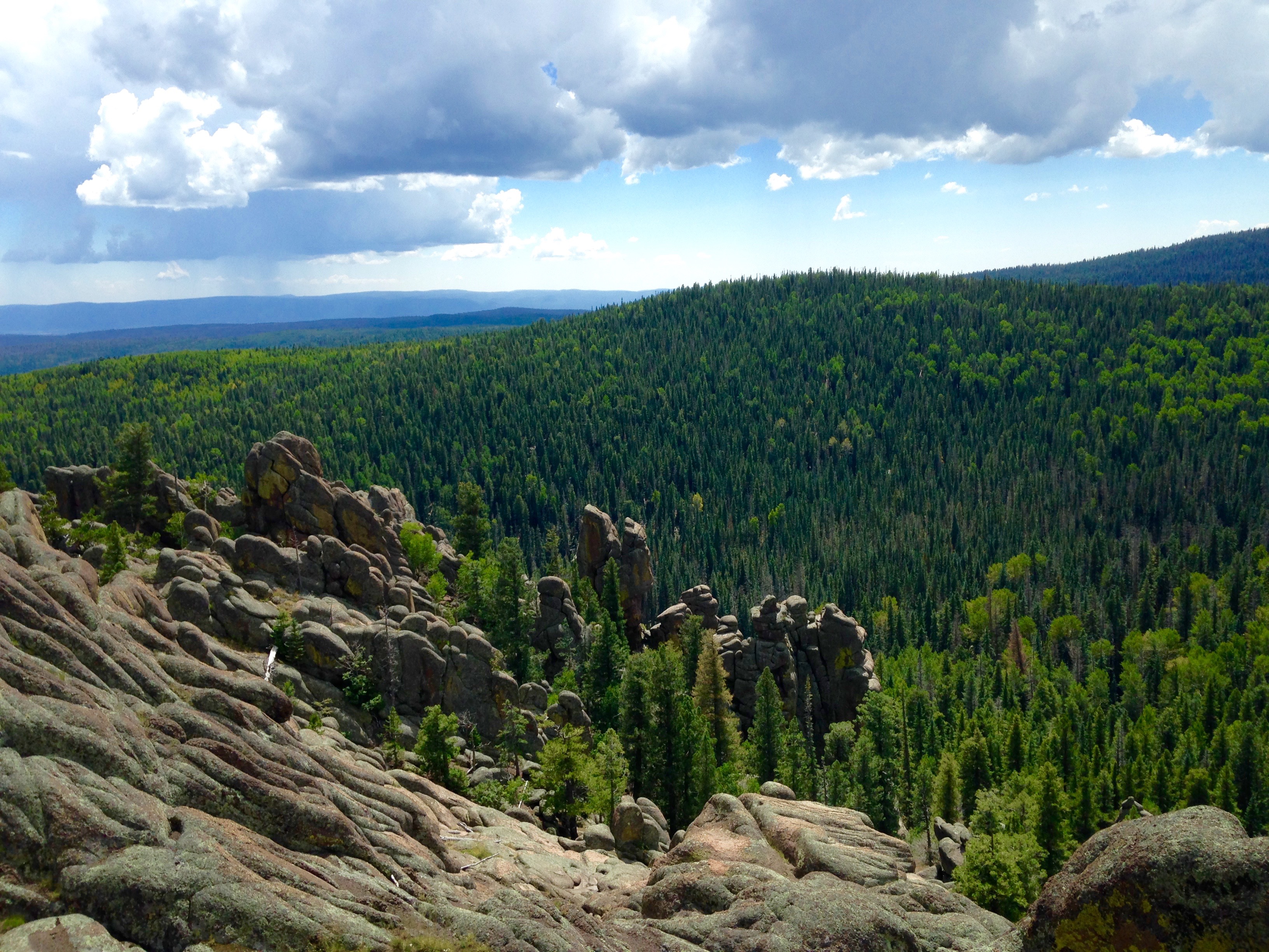
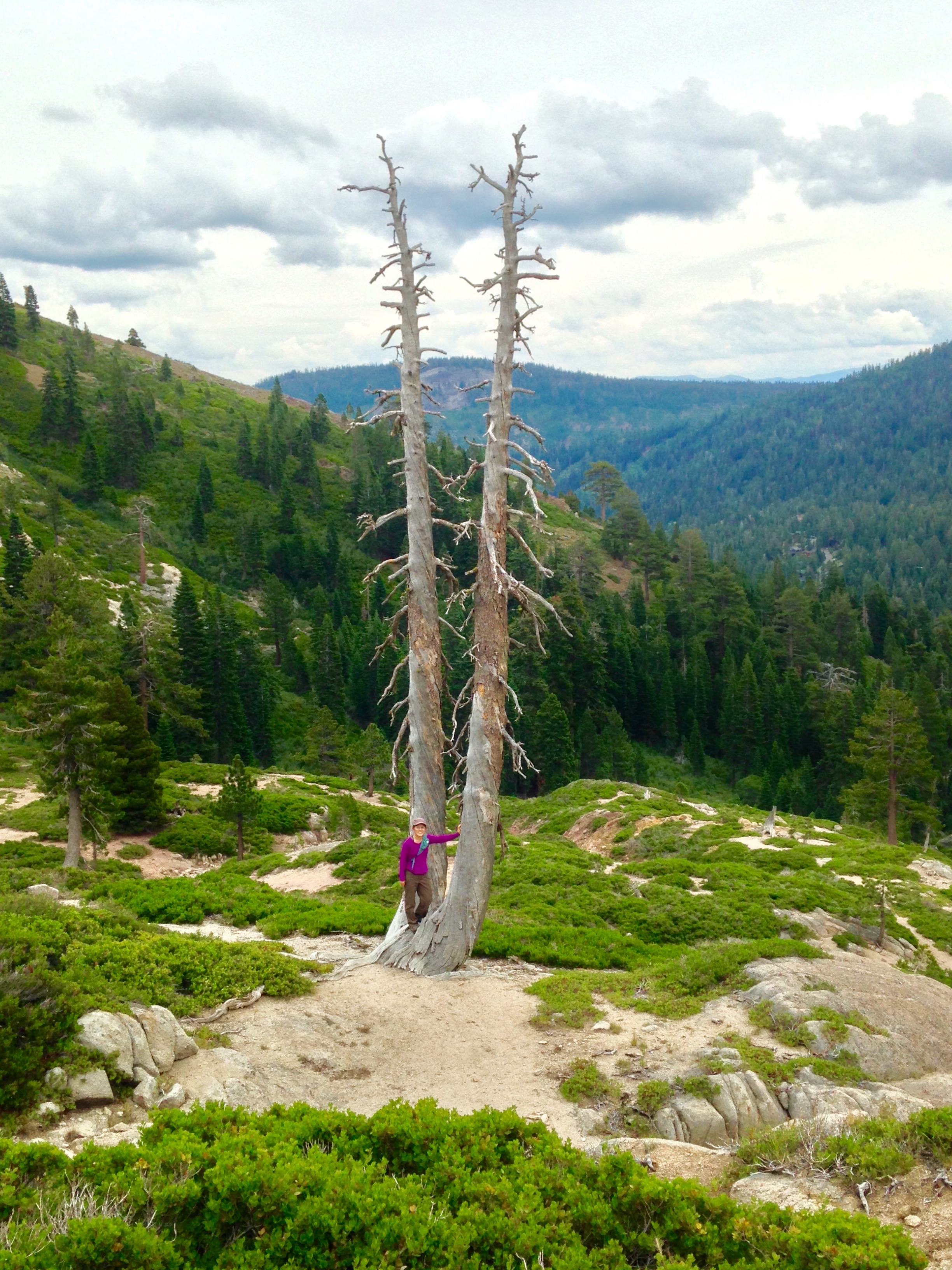
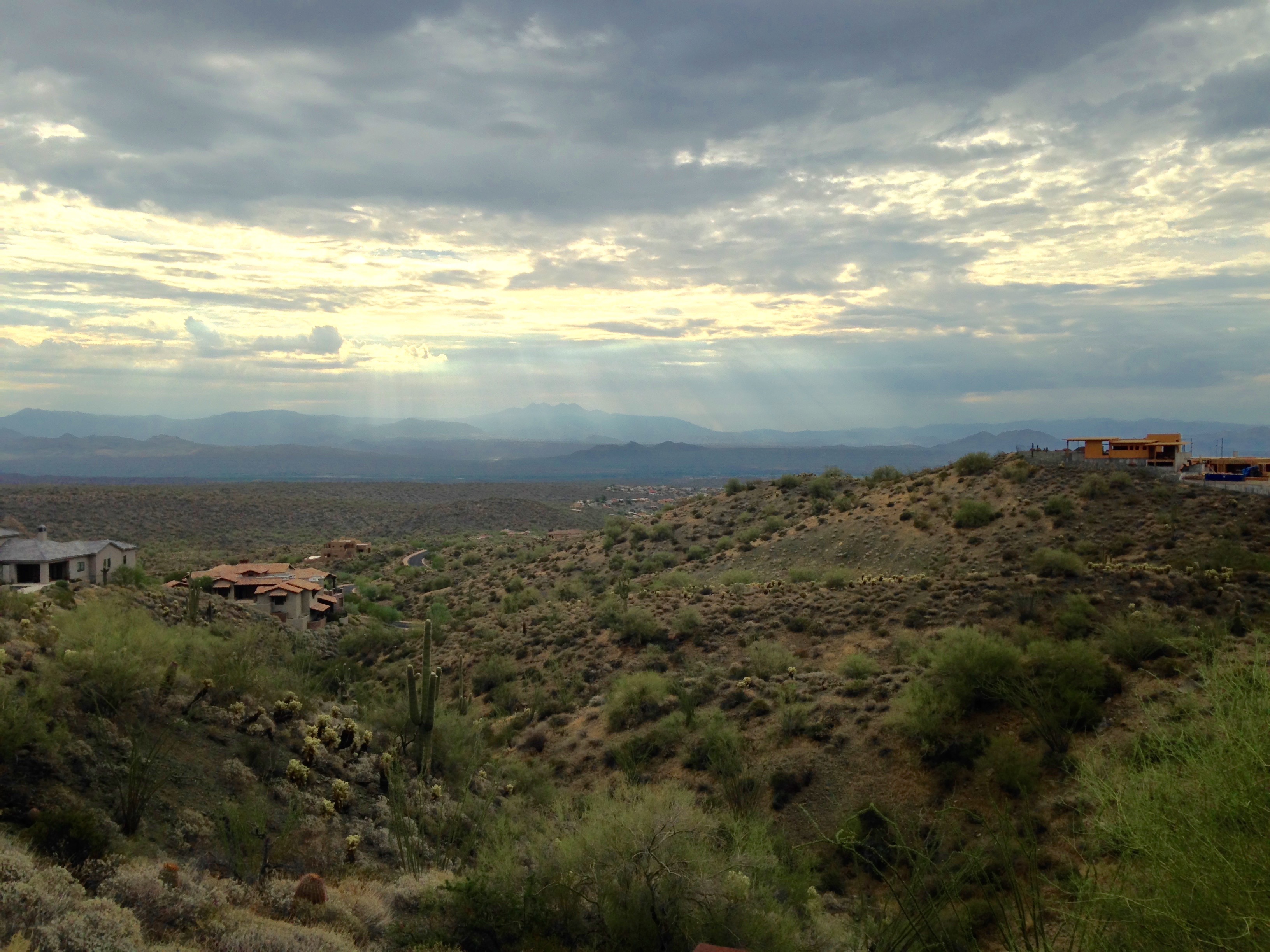
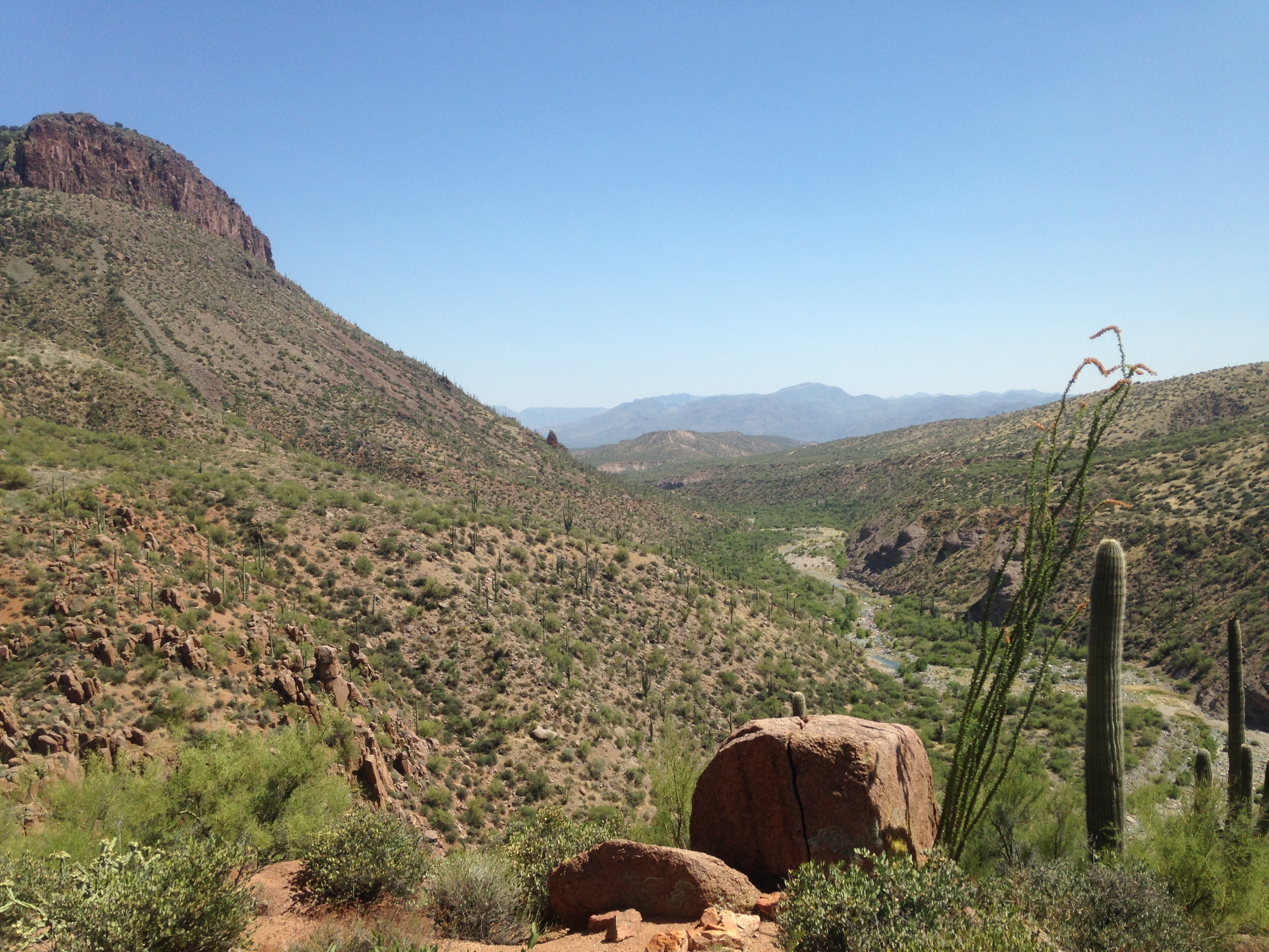
The entire hike is about 5 miles, of which just over a mile is in the canyon itself.  We started hiking just before 10am and this is what we saw at the start of the hike:

IMG_0870 IMG_0874

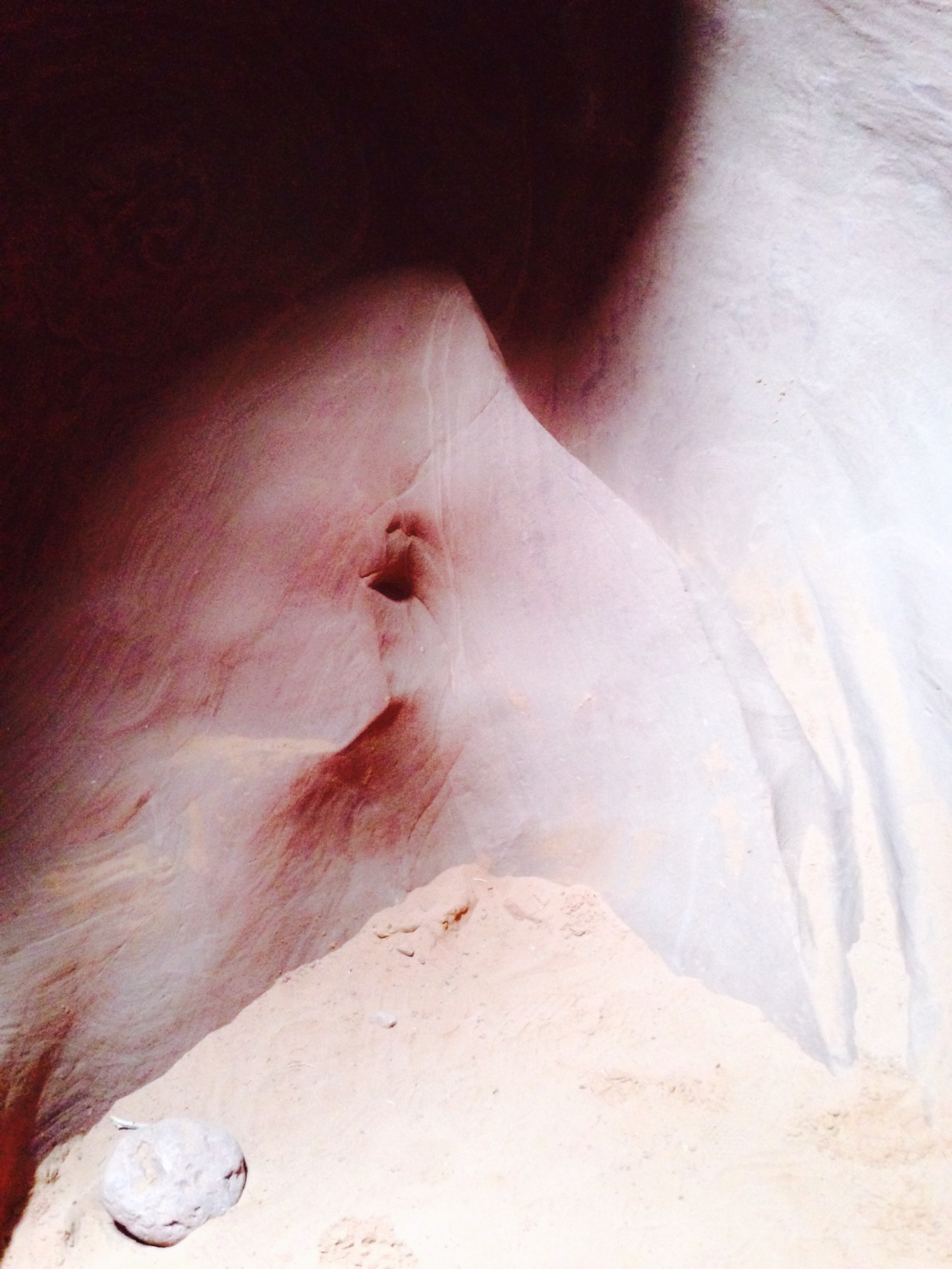
(Photo 1: starting the hike; Photo 2: a pretty bush…vines…whatever this is.)

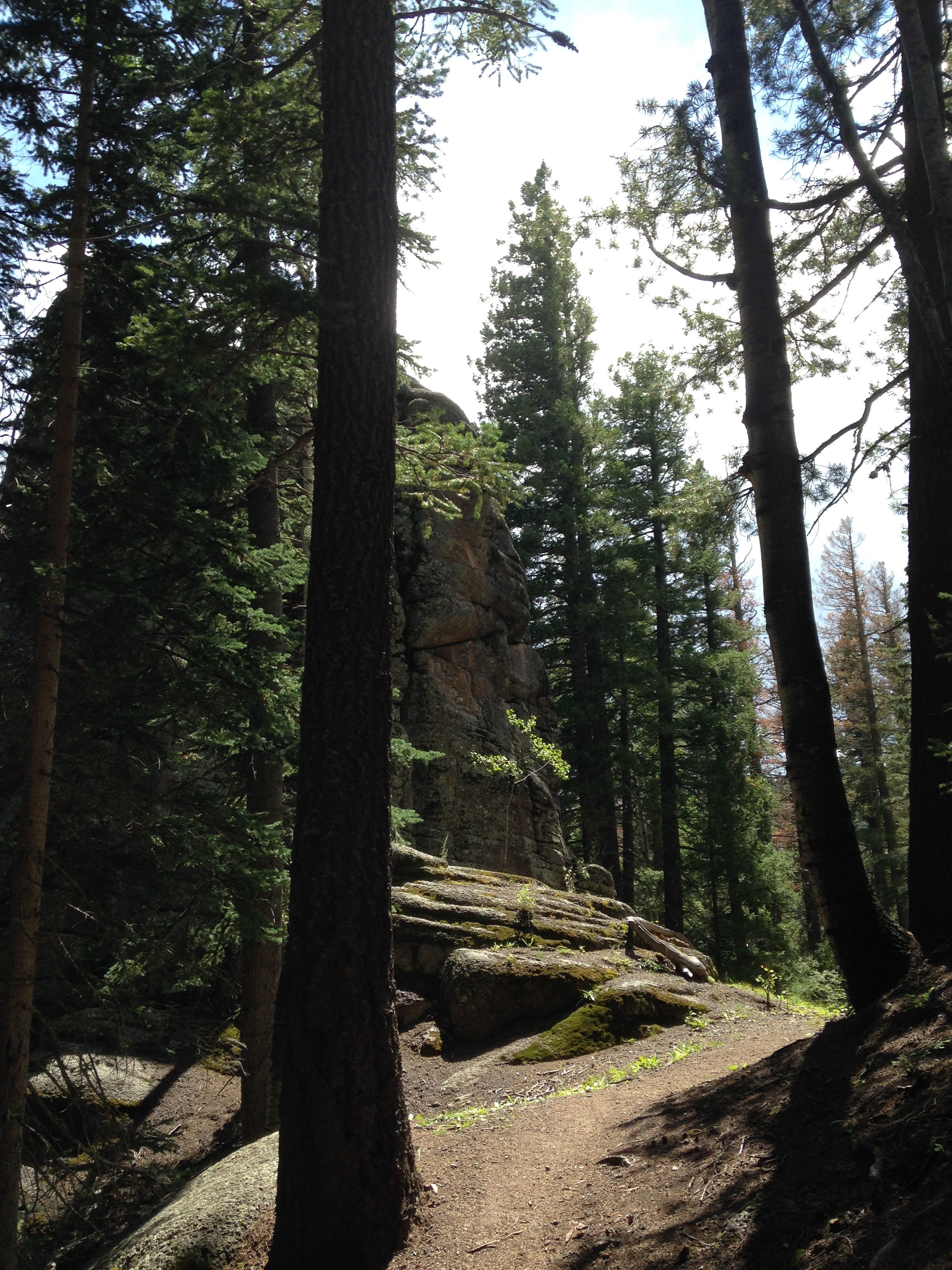
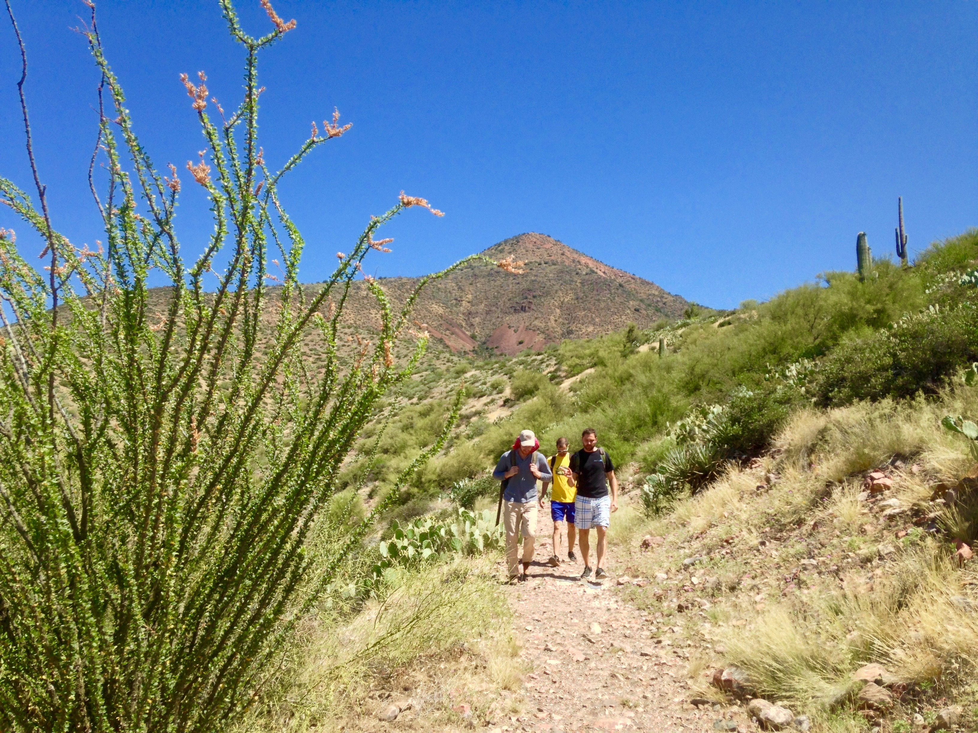
After hiking down a well-maintained trail for ~2 miles, we saw the water and we all rejoiced, as we were getting pretty warm (there is no shade along the trail).

IMG_0883IMG_0893

(Photo 1: so close to the water!; Photo 2: the trail after we saw our first glimpse of water.)

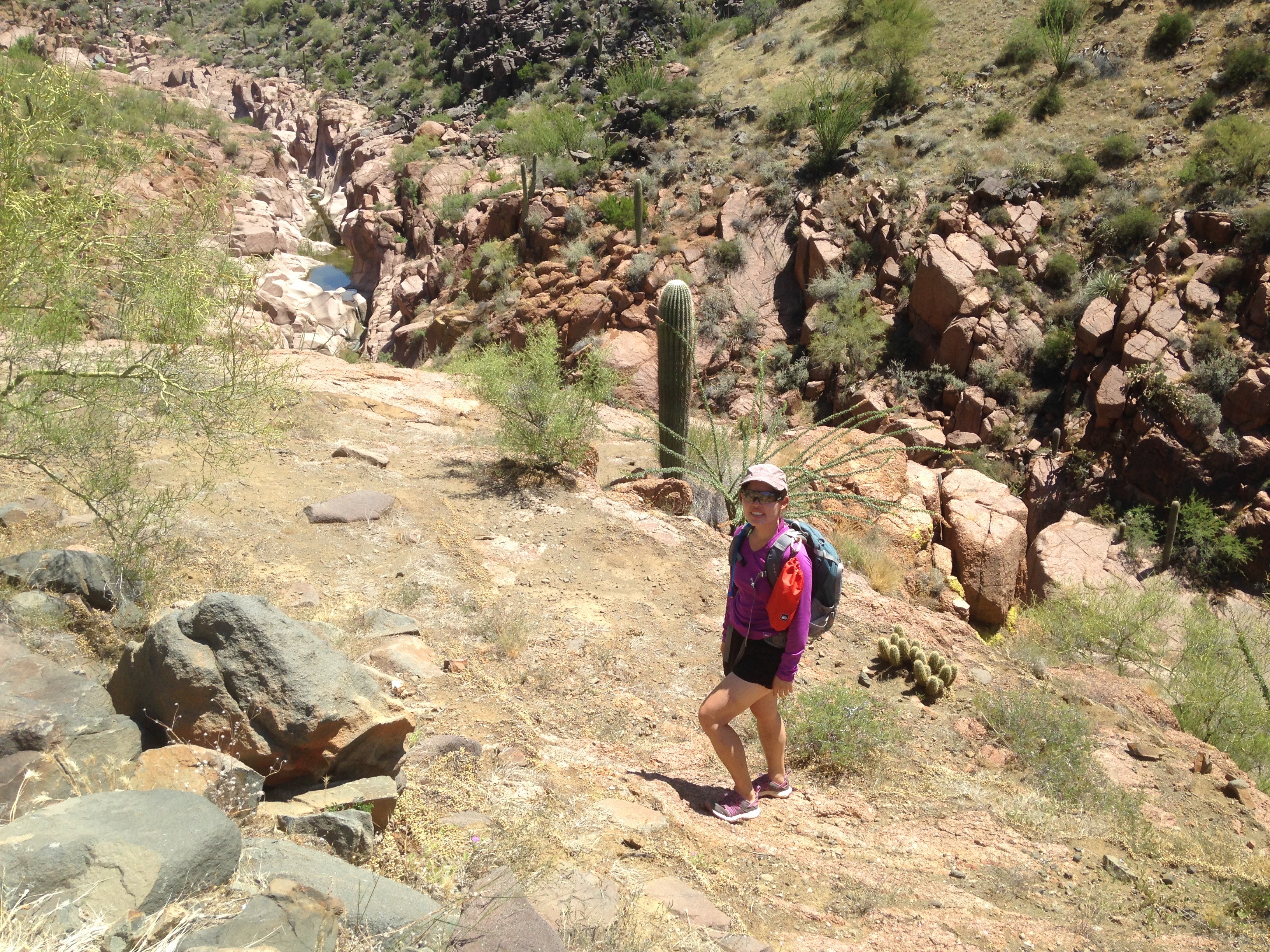
Finally!  When we reached the water’s edge, it was obvious that there was only way to go and that was IN.  From here, we waded, floated, and swam.  I was the shortest person in the group and at the deepest point, the water level hit my shoulders.  For those of you thinking of visiting this canyon, it is worth mentioning that 1) your backpack WILL get wet, 2) you and everything you are wearing WILL get wet, 3) if it isn’t already obvious, you need to be able to swim before attempting this hike, and 4) bring rappelling gear and someone who has rappelling experience and has already done the hike (more on that a few paragraphs down).  I lined the inside of my backpack with a dry sack and encased my phone in a Lifeproof case.  Nothing was damaged.  Of course, plastic garbage bags will work to line backpacks and ziplock bags would be sufficient to protect keys and ID cards/money if you don’t already have dry sacks or fancy phone cases.

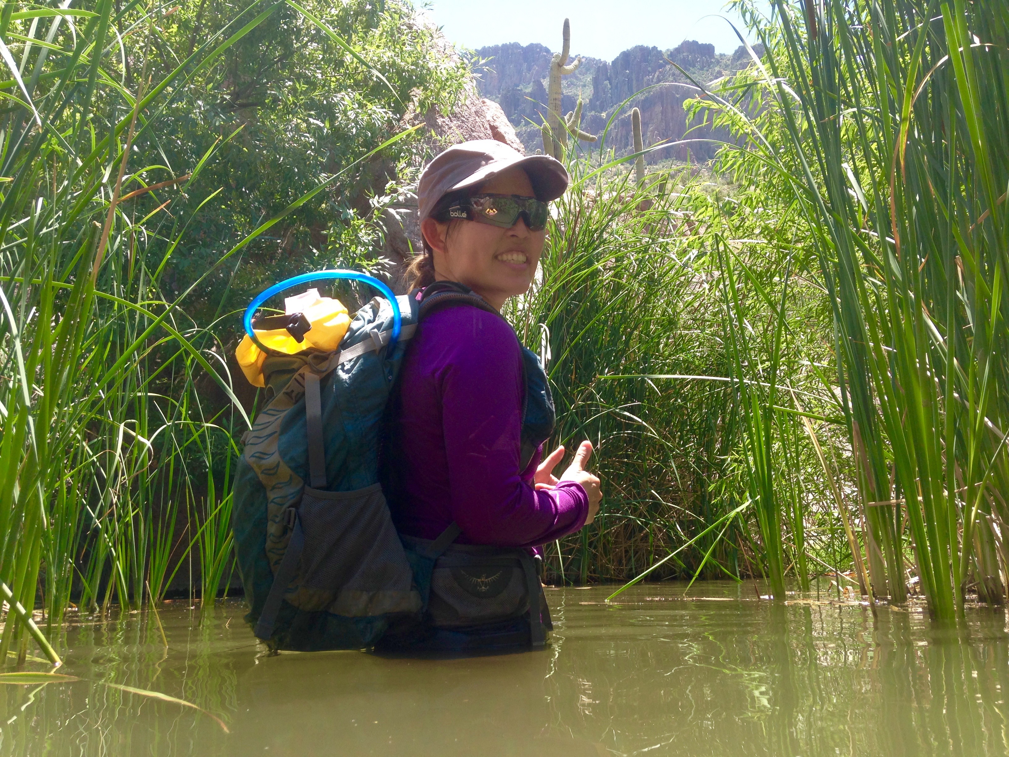
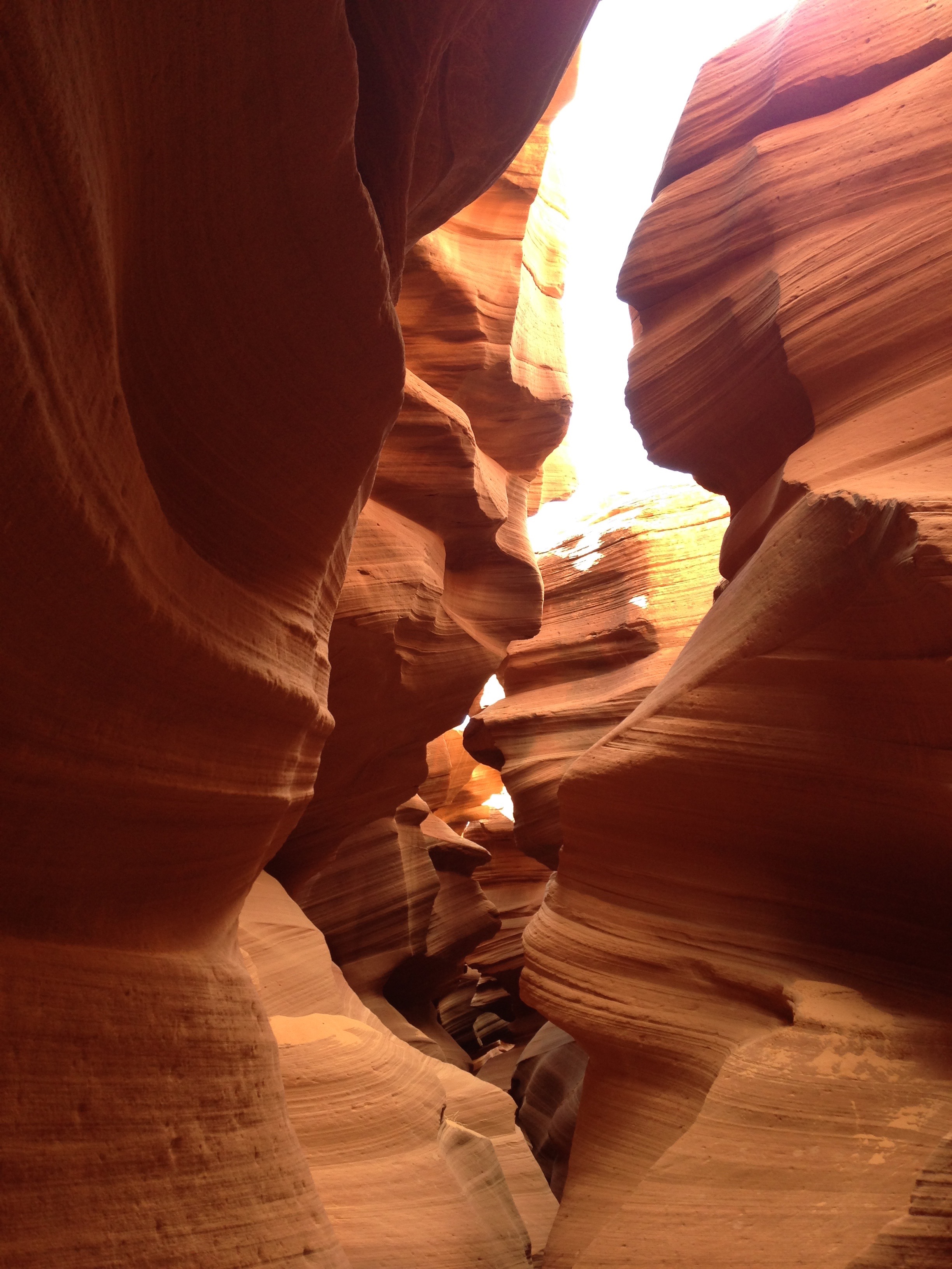
Back to the hike….The beginning of the water portion of the hike is in cloudy water with lots of reeds:

IMG_0919

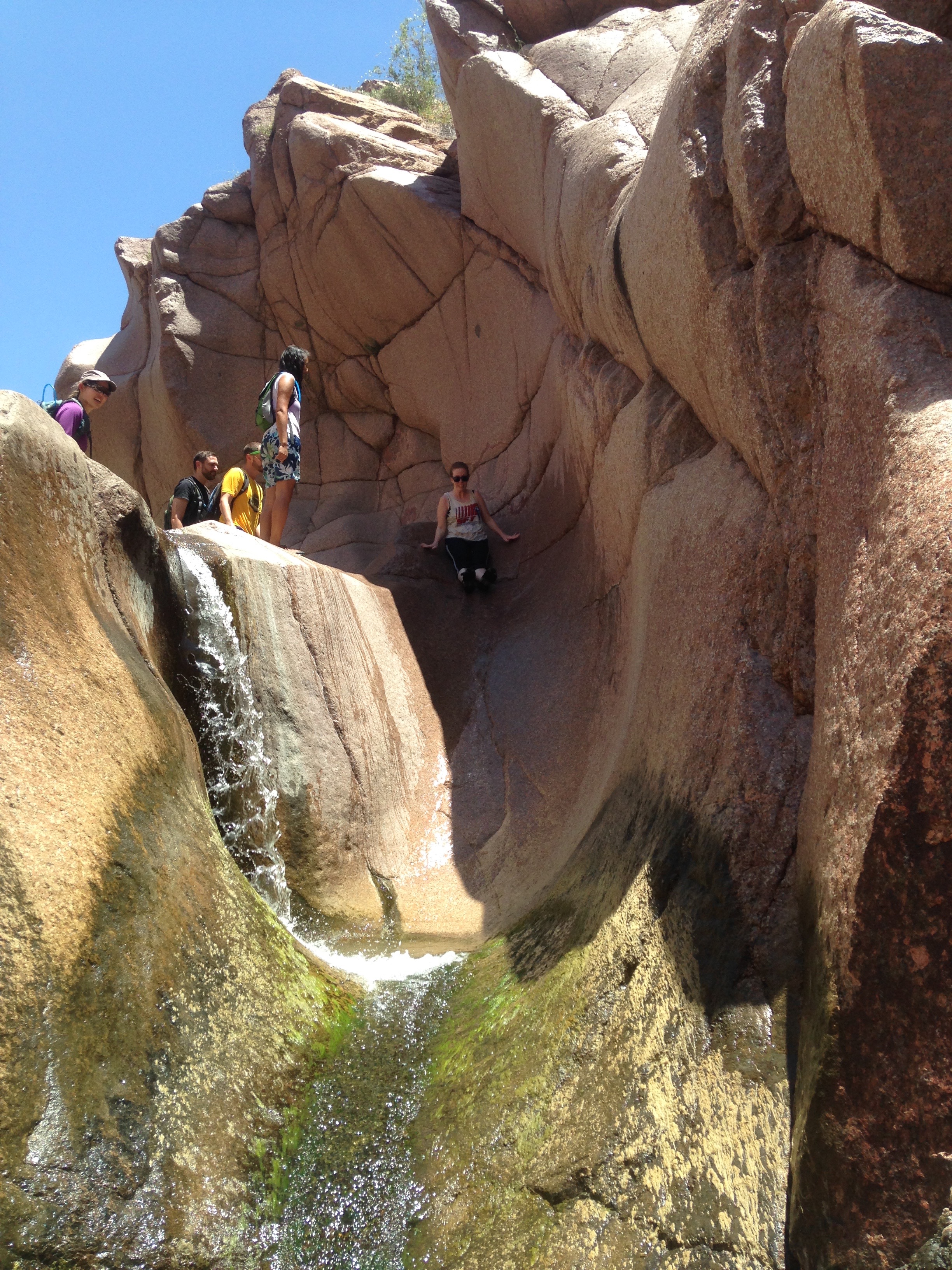
Then the water gets deeper pretty quickly (and slightly colder, but nothing that will chill you or kill you).  One of the best parts of this hike is the cool water slide, about 3/4 of the way into the canyon:

IMG_0992IMG_1001

(Photo 1: the waterslide!  When you hit the point closest to the bottom of the photo, you drop into a waist-deep pool; Photo 2: goin’ sideways!)

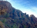
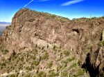
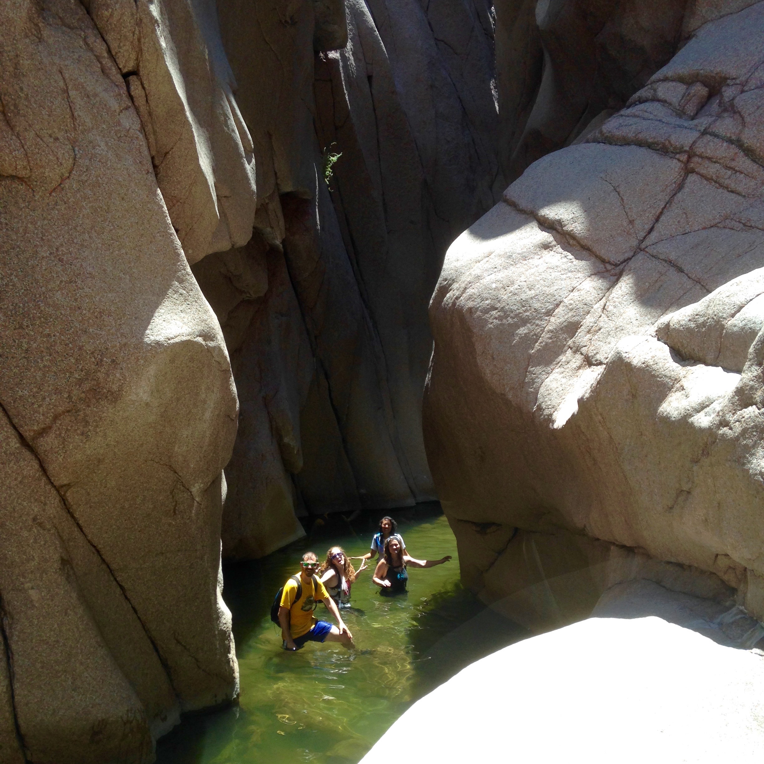
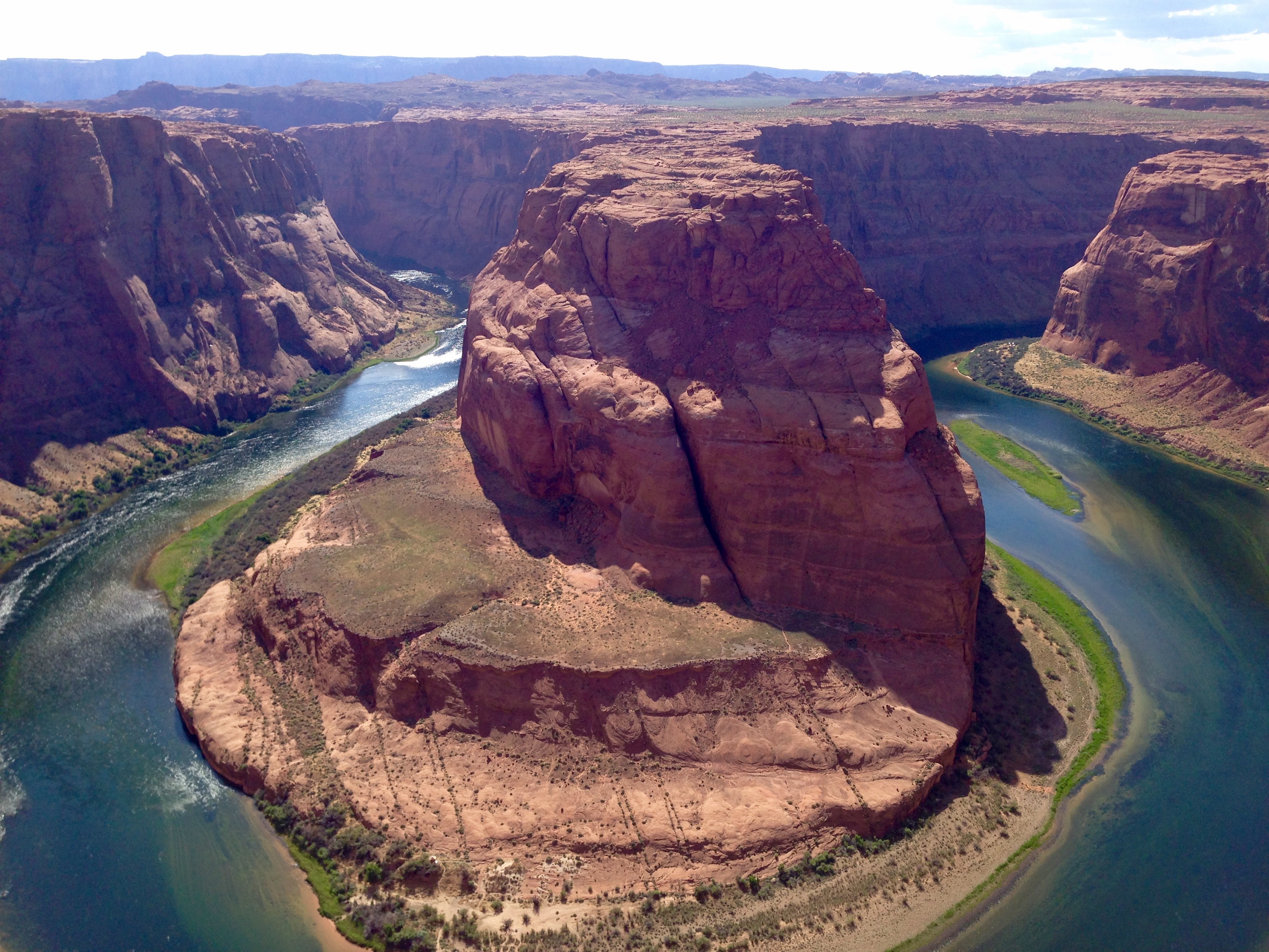
The most technical part of this hike is near the end, when you have the choice between jumping off a ledge and into the (deep) water about 50 feet below OR rappelling down into the water.  Our group was evenly divided as far as descent options went (I rappelled down, as I wasn’t keen on flinging myself off of a ledge.  Apparently, I am only fine with flinging myself into space when it requires a plane.  I know, weird.).

IMG_1011

(Aerial shot of a pool after the rappelling portion.  This gives a sense of how far down the pool is when jumping off the ledge.)

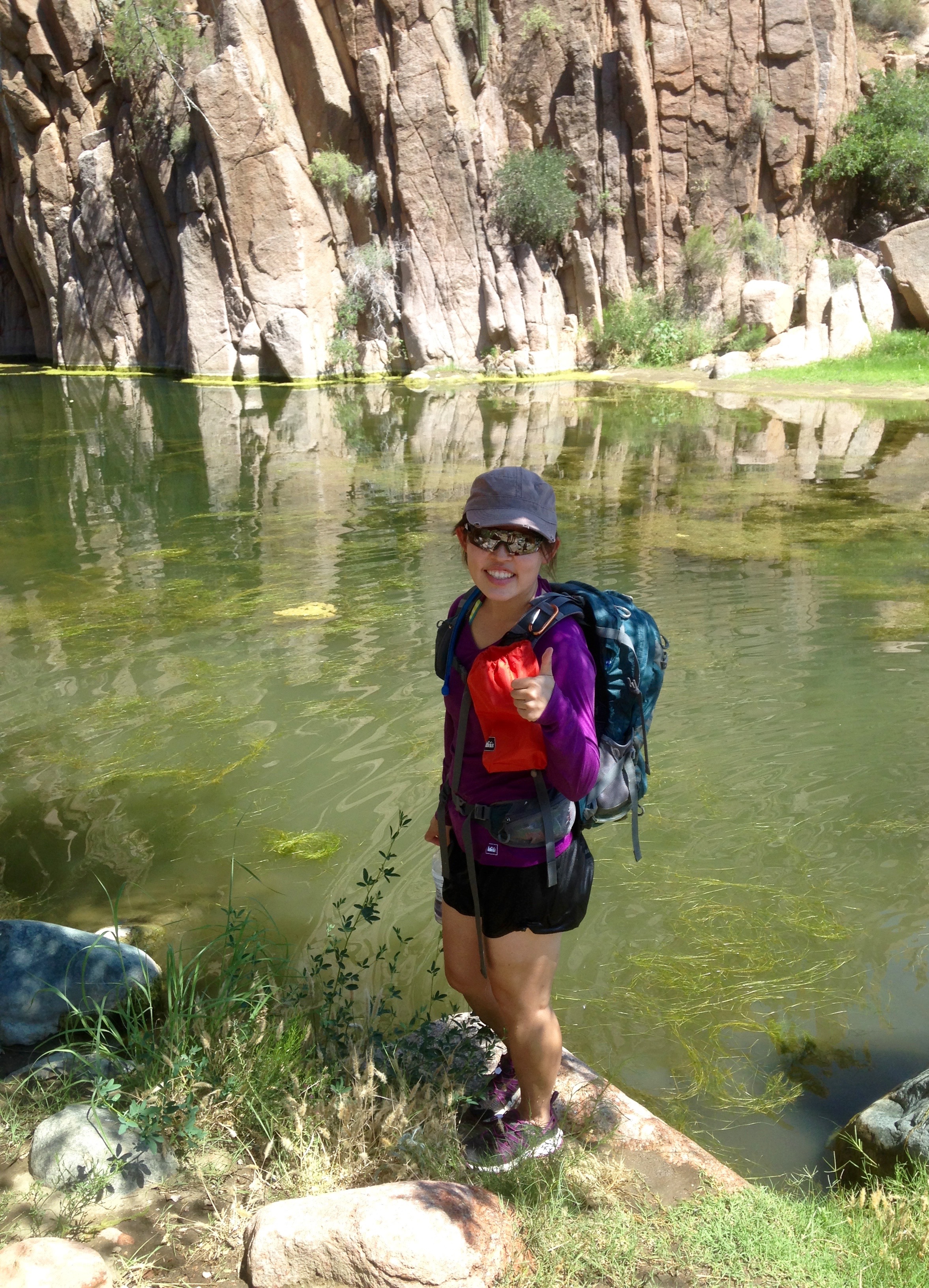
The water got shallower and murkier as we approached the end of the “Jug” portion of the hike, so much so that we all were a little grossed out!  Nothing life-threatening was sighted and nobody has mentioned any illnesses since the hike, so I think the water was fine, but definitely undrinkable!

IMG_1042

(End of the water portion of the hike.)

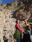
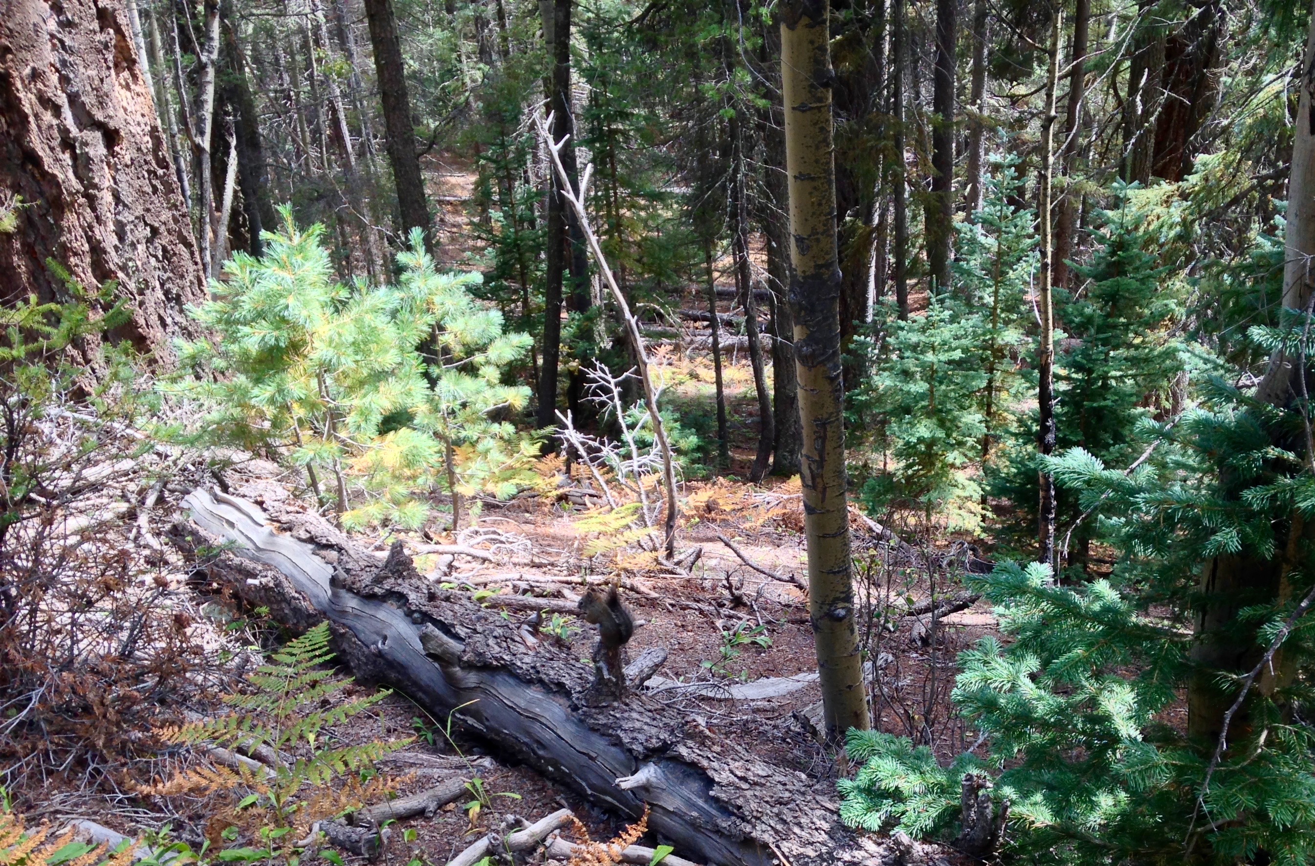
The last couple of miles were a bit of a slog, as it was pretty warm, we had no shade, and we were all tired from playing all day in the water.  All in all, it was a really cool outing and another reminder that adventure is everywhere around you….if you have an open mind and a willingness to explore.

IMG_1047IMG_1049

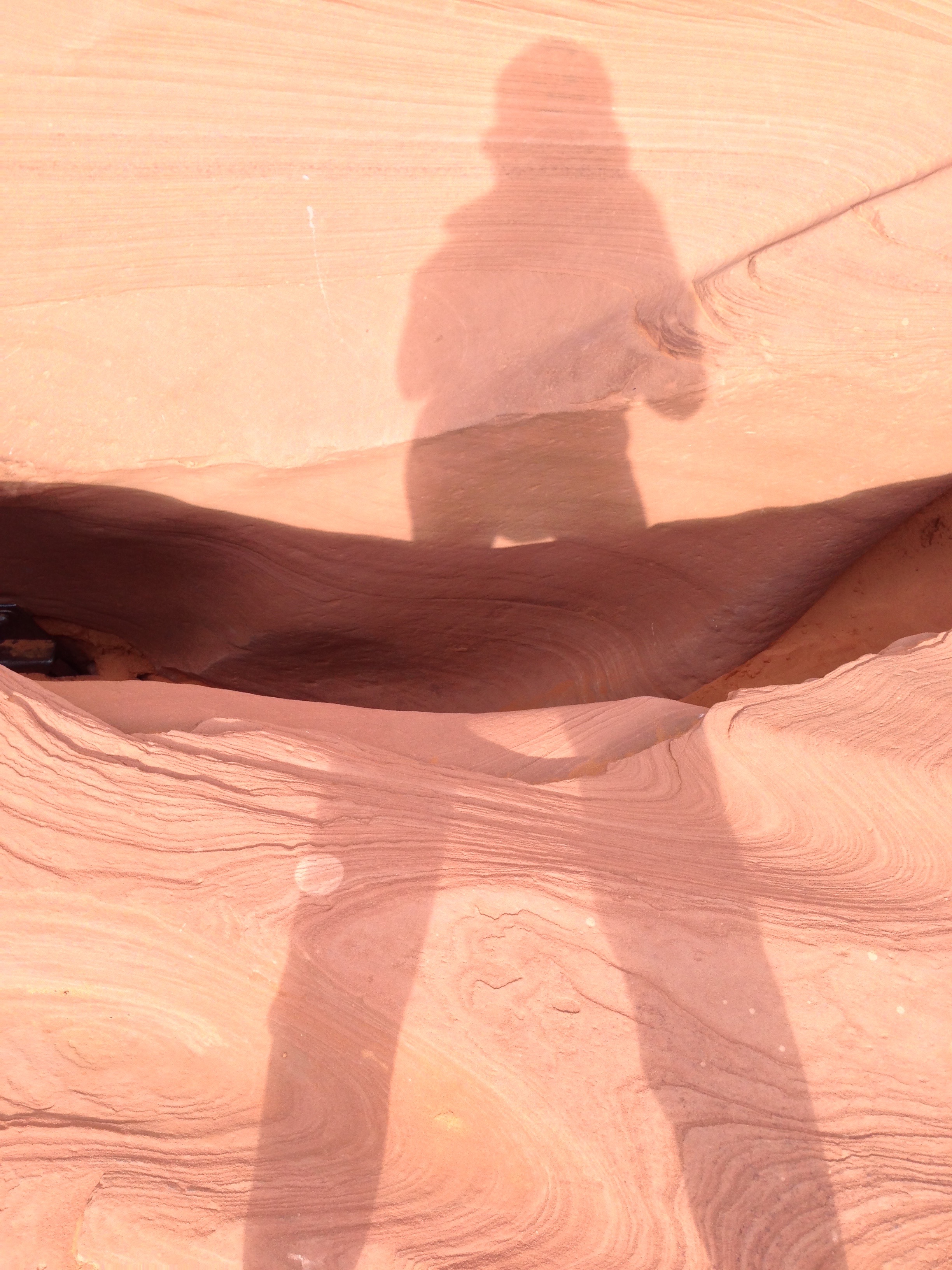
(Photo 1: looking back down into the canyon we enjoyed; Photo 2: on the trail back to the trailhead.)

~~~~~~~~~~~~~~~~~

What to take with you:

  • lots of water to last the whole day.  Perhaps also Gatorade or electrolytes to make up for lost salts.
  • food
  • hat/sunscreen/lipbalm/sunglasses
  • dry sack or garbage bag to line the inside of your backpack
  • waterproof phone case (for those who want to bring their phones) or at least ziplock bags for keys/ID/phone
  • rappel gear: harness, rope (at least 100 feet), extra webbing, belay device
  • duct tape or moleskin for blisters (I had duct tape and a small knife, both of which came in handy for my friend’s blisters)
  • towel for sitting on for the ride home (yes, I had this!).  Some people may want to leave a change of clothes in their car for post-hike.
  • shoes or sandals to hike in that can get wet.  I wore my Teva water shoes the entire day and they worked fine.  Next time, I think I will wear my regular hiking shoes then change into my water shoes.  It would be nice to hike the ‘normal’ trail without being plagued by all the little rocks that got into my water shoes.

IMG_1069

(The rocks that got into my water shoes rubbed off the polish on only ONE toe.  Weird.)

Living in the center of the sun isn’t fun.

No adventures to report.  It’s too hot.  Today’s high in Phoenix, AZ was 47c (116.6F).  Apparently, Death Valley, CA had the same high temperature today.  Isn’t that funny?  So, I can actually say that today, living in Phoenix equalled Death!  Haha.  Due to the hot weather, Phoenix’s nickname is “Valley of the Sun,” but I’ve re-christened the city as “The Center of the Sun.”  🙂

We went for a bike ride this morning — left home just after 6am — and by the time we finished (~8:30am), the temperature was already 35c (95F).  Yikes.  My riding has decreased dramatically since moving to Phoenix; I don’t believe my body has fully adapted to the ridiculously hot weather.  As they say, you can take the girl out of Canada, but you can’t take Canada out of the girl….or something like that.

I am currently preparing music for an opera program at which I will serve as faculty and one particular aria (song) came to mind.  However, while the heroine in the aria sings of winter coming too soon, winter can not come soon enough for me!

Sigh.  It is one thing to read the weather forecast in the comfort and safety of one’s home and quite another to experience it in the (burning and searing) flesh.

“…where the deer and the antelope play…”

Spontaneous road trips are fun!  I spent the past two days sightseeing in and around Page, AZ with two friends and got a few decent pictures to boot.  We decided to check out Lower Antelope Canyon, which is a popular destination for photographers and nature lovers.  The canyon was formed by erosion during flash floods; rushing water and sand carved pathways through the narrow slots, smoothed the sandstone surface, and shaped contours into the rock.  Apparently, Lower Antelope Canyon (“spiral rock arches” in the Navajo language) is less popular than Upper Antelope Canyon (“the place where water runs through rocks”), mainly because the lower canyon has stairs.  The upper canyon is at ground level (flat) and boasts more sunbeams.  I think what we saw in the lower canyon was absolutely beautiful and the stairs were an added bonus (after all, I actually LIKE hiking). Since the canyons are on Navajo land, they require a tour guide for entrance.  Not surprisingly, the tours generate a significant amount of income for the Navajo nation.  We booked our tours through Ken’s Tours and our guide, Ben, was very patient and knowledgeable as he led us through the canyon and suggested different angles for the millions of pictures our tour members took. IMG_0618 IMG_0646 IMG_0640 IMG_0633 (Photo 1: pretty detail of the rock; Photo 2: reminds me of an eagle; Photo 3: I see a bear!; Photo 4: “Twin Peaks”.) IMG_0657 IMG_0658 (Photo 1: “The Lady”; Photo 2: I can see another, less pretty lady on the left…) IMG_0664 IMG_0665 (Photo 1: can you see an Indian chief?; Photo 2: “Elephant.”) IMG_0669 IMG_0674 (Photo 1: theoretically, one can see all the way through to the end of the canyon in this picture; Photo 2: casting my shadow over the top of Lower Antelope Canyon!) After our tour of the canyon, we drove a few miles to Horseshoe Bend, another picturesque and oft-photographed spot.  The Colorado River cuts through the rock in a horseshoe shape 1000 feet (300m) below the lookout point. IMG_0698 The rest of the evening was spent eating food and just hanging out at our campsite on Lake Powell, a few miles away from Page, AZ.  We slept in the next morning and took our time enjoying a leisurely breakfast before we all braved the refreshing lake water and immersed ourselves in it.  Our drive back was uneventful and filled with good conversation and plenty of junk food.  When’s the next trip?  🙂