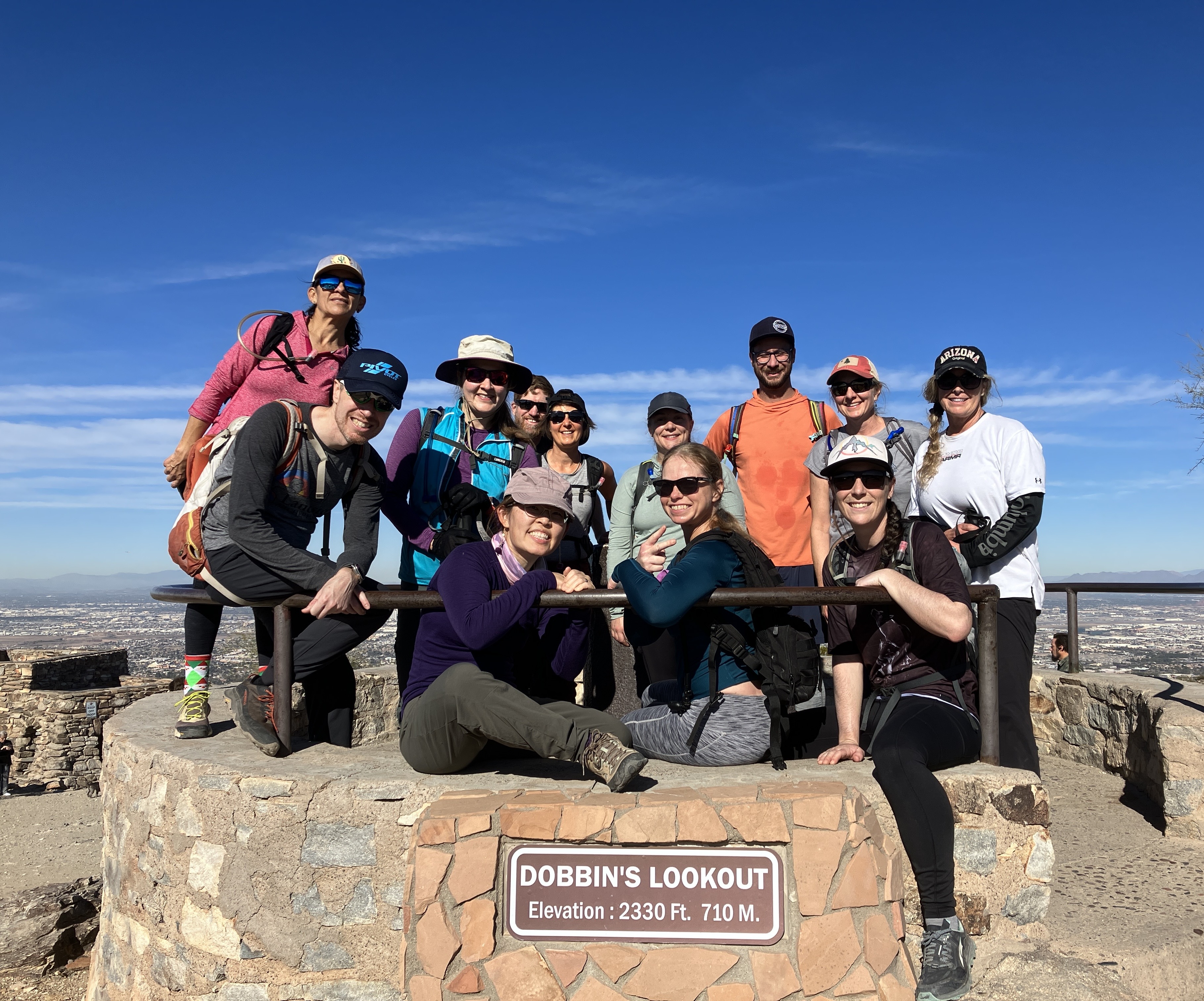
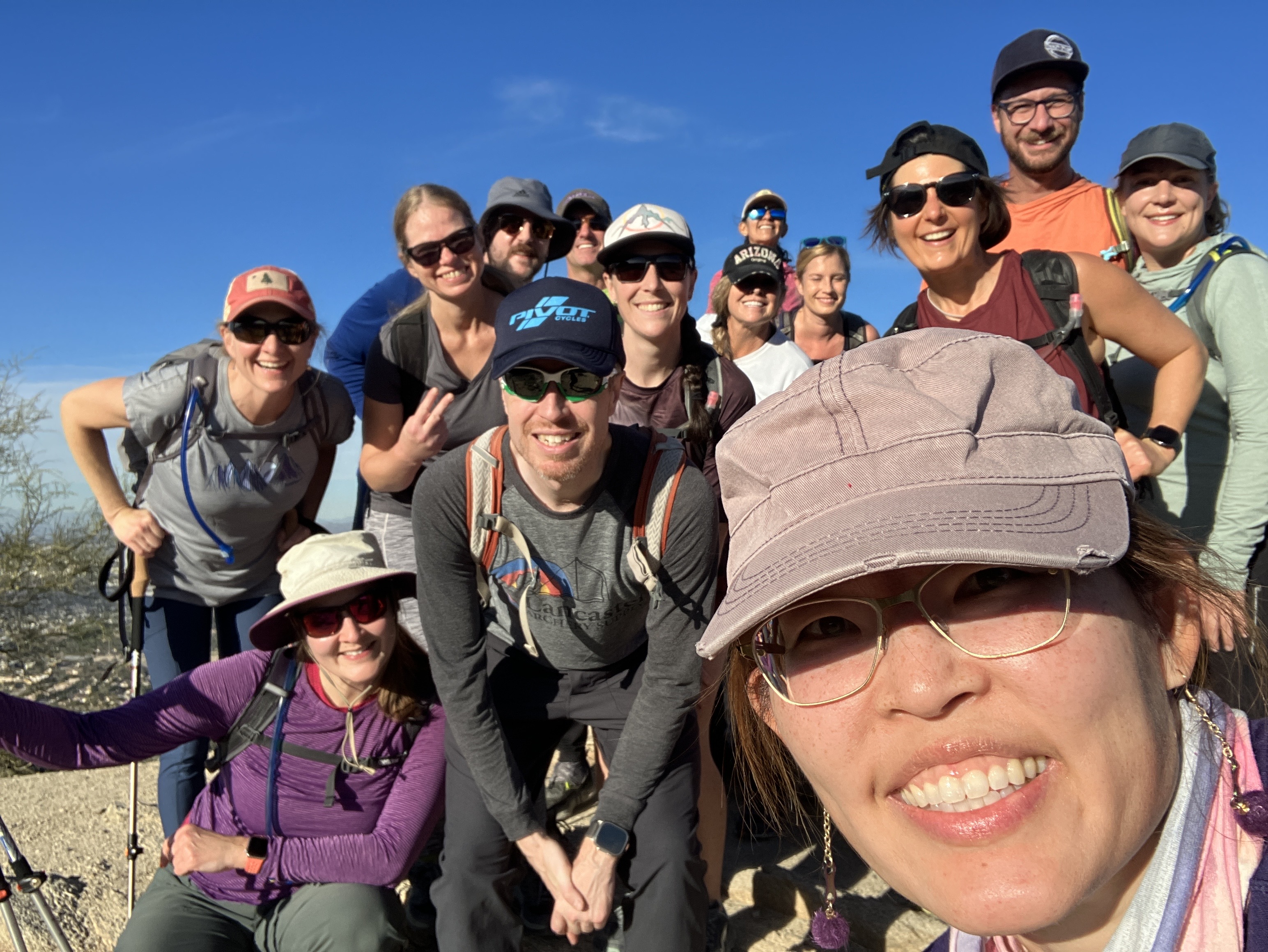
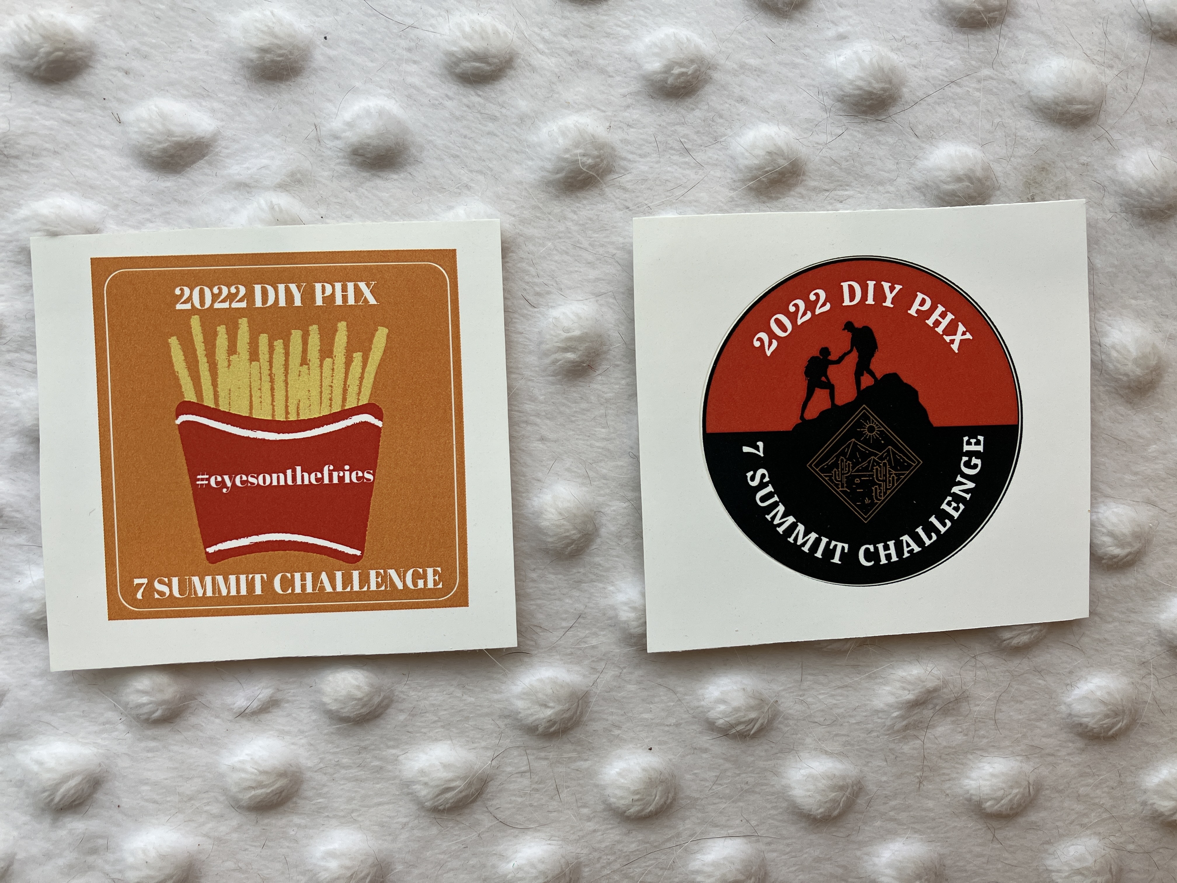
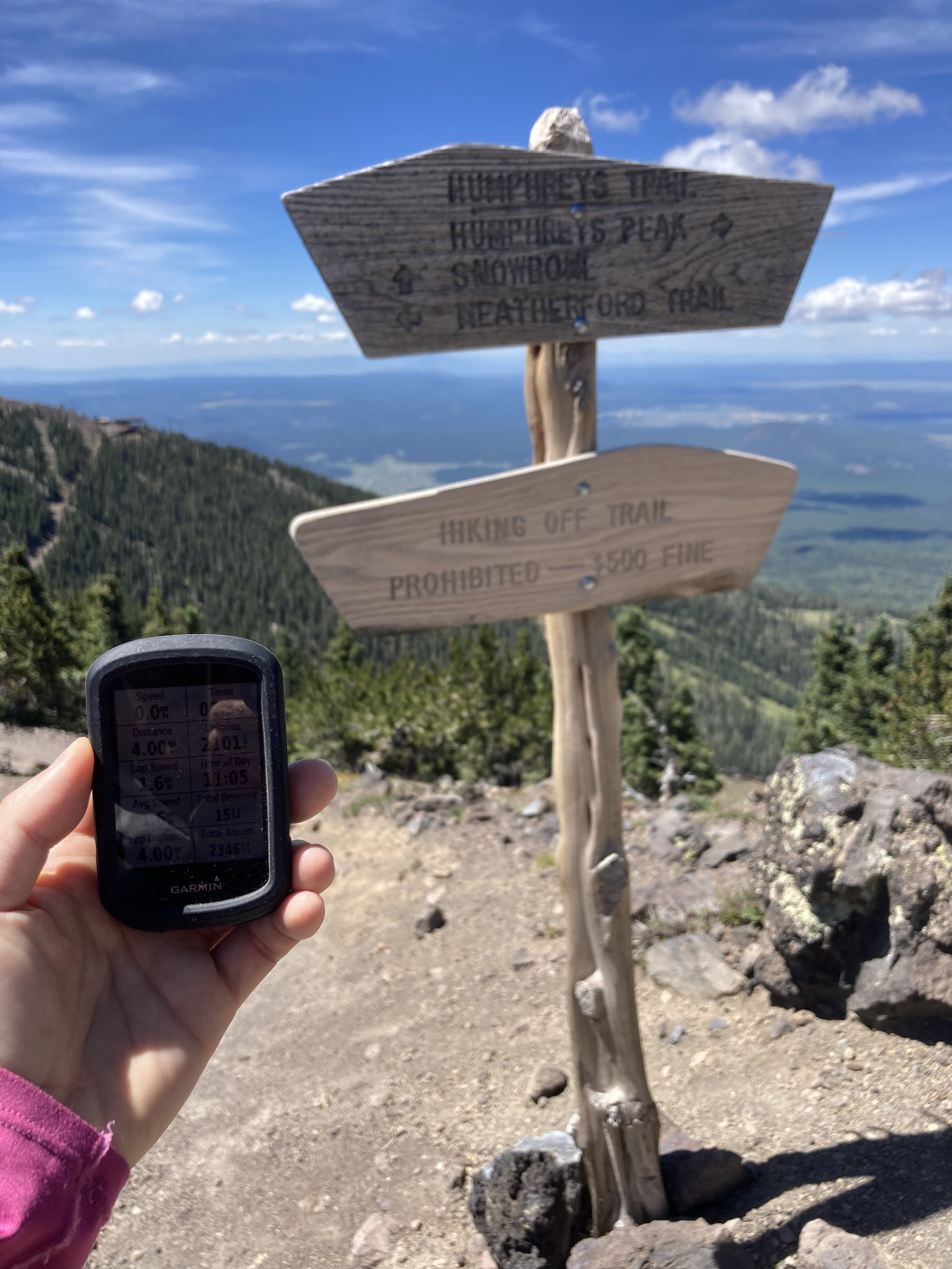
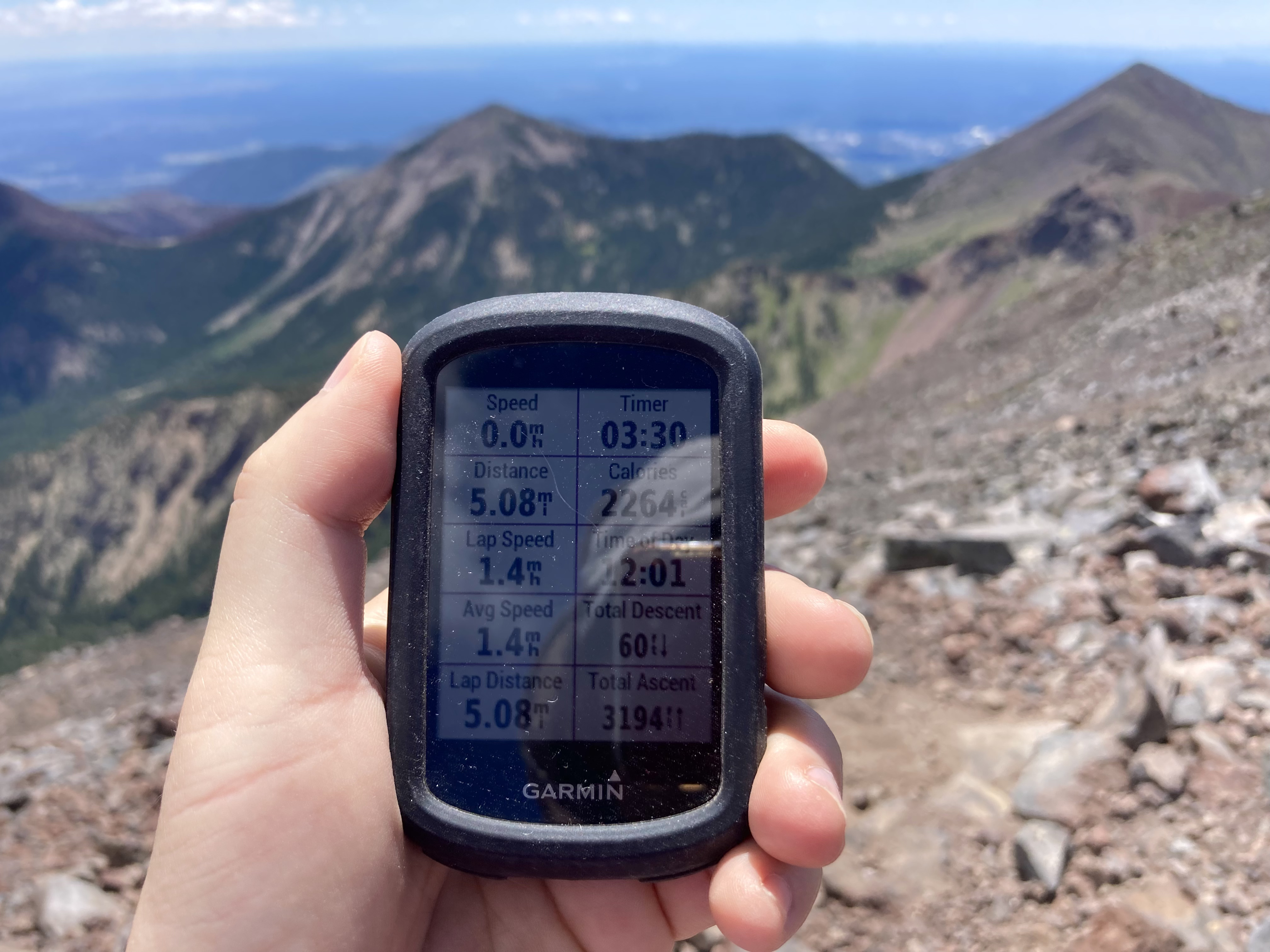
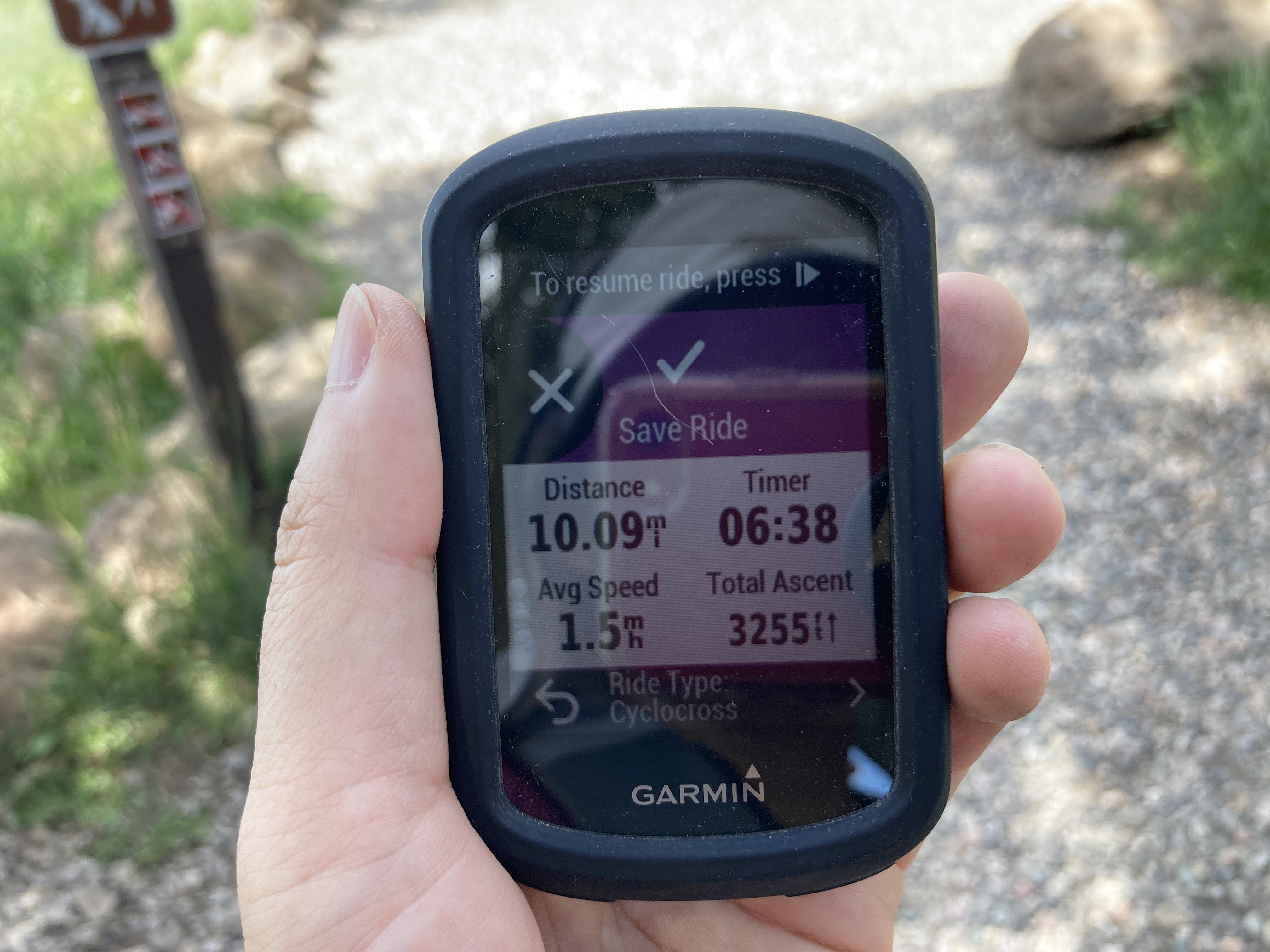
On January 13, 2024, I finally did something that has been on my hiking list for the past 7 years: the Superstition Ridgeline hike. It’s a challenging hike for several reasons: setting up the car shuttle before the hike starts, the climbing, and the route finding. My Garmin said that I hiked 14 miles (22.5 km) and climbed 5,098 feet (1,554 m). Although it was a very long day, the views were totally worth it. I definitely plan on doing this hike again.
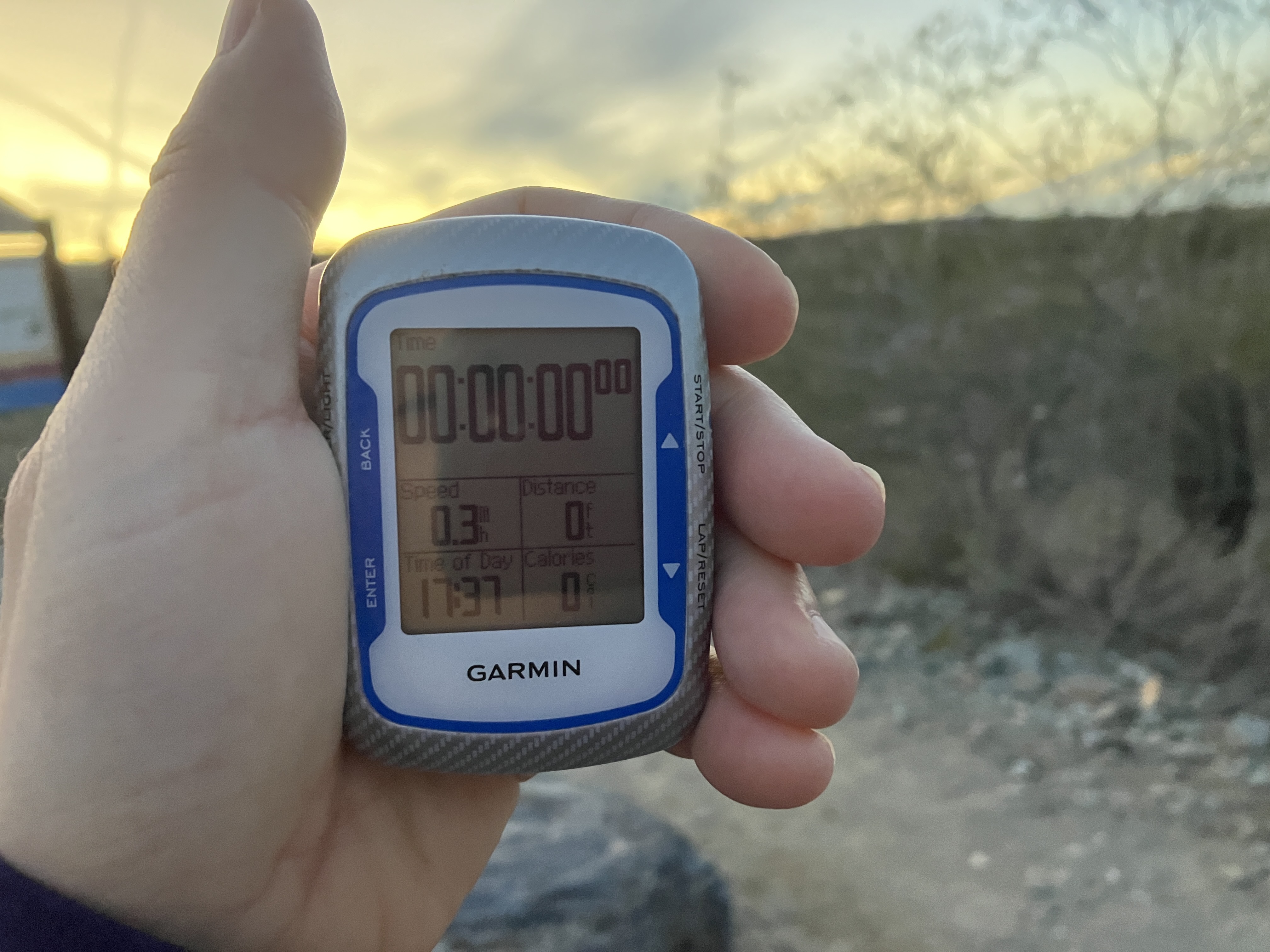
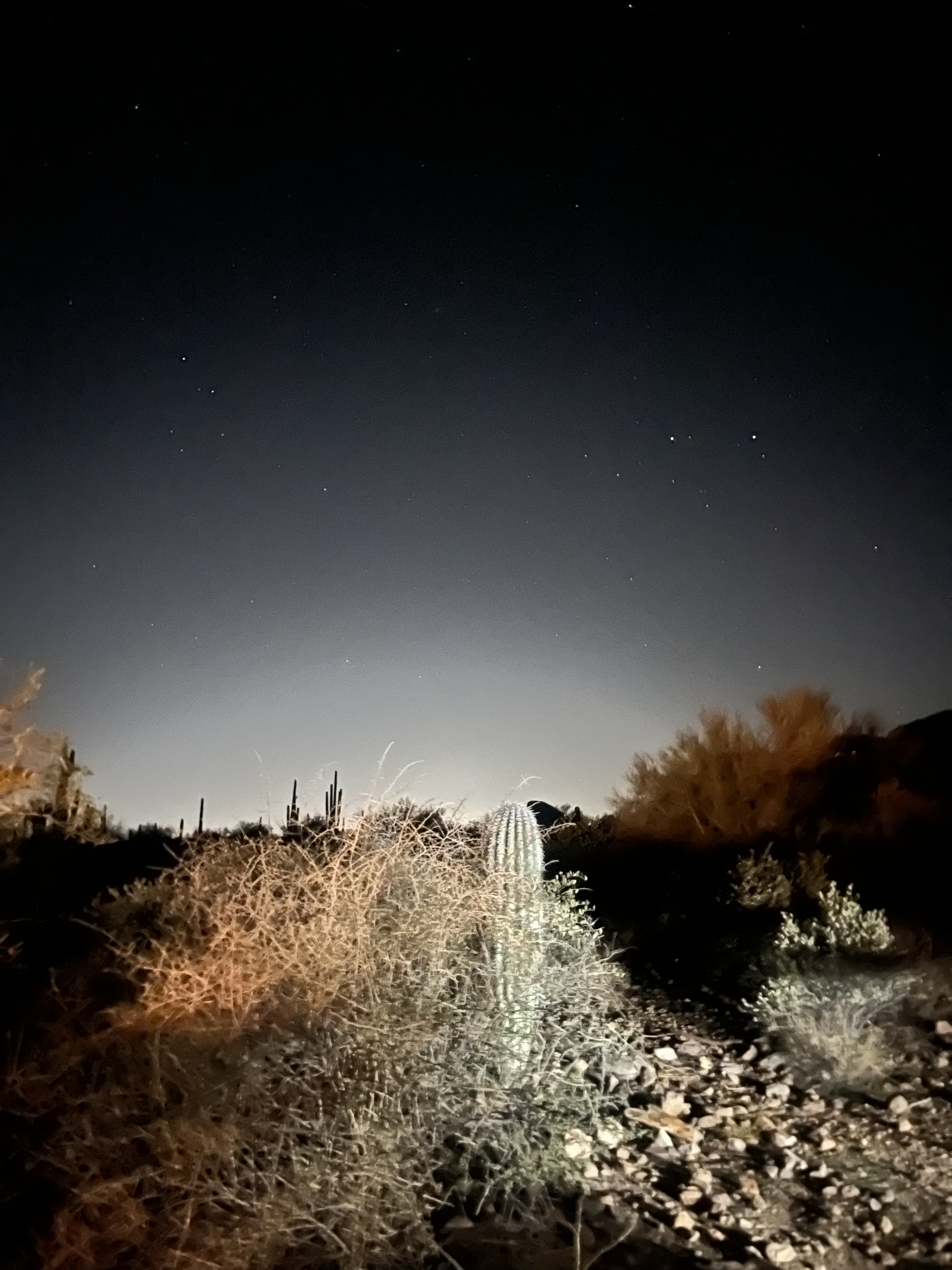
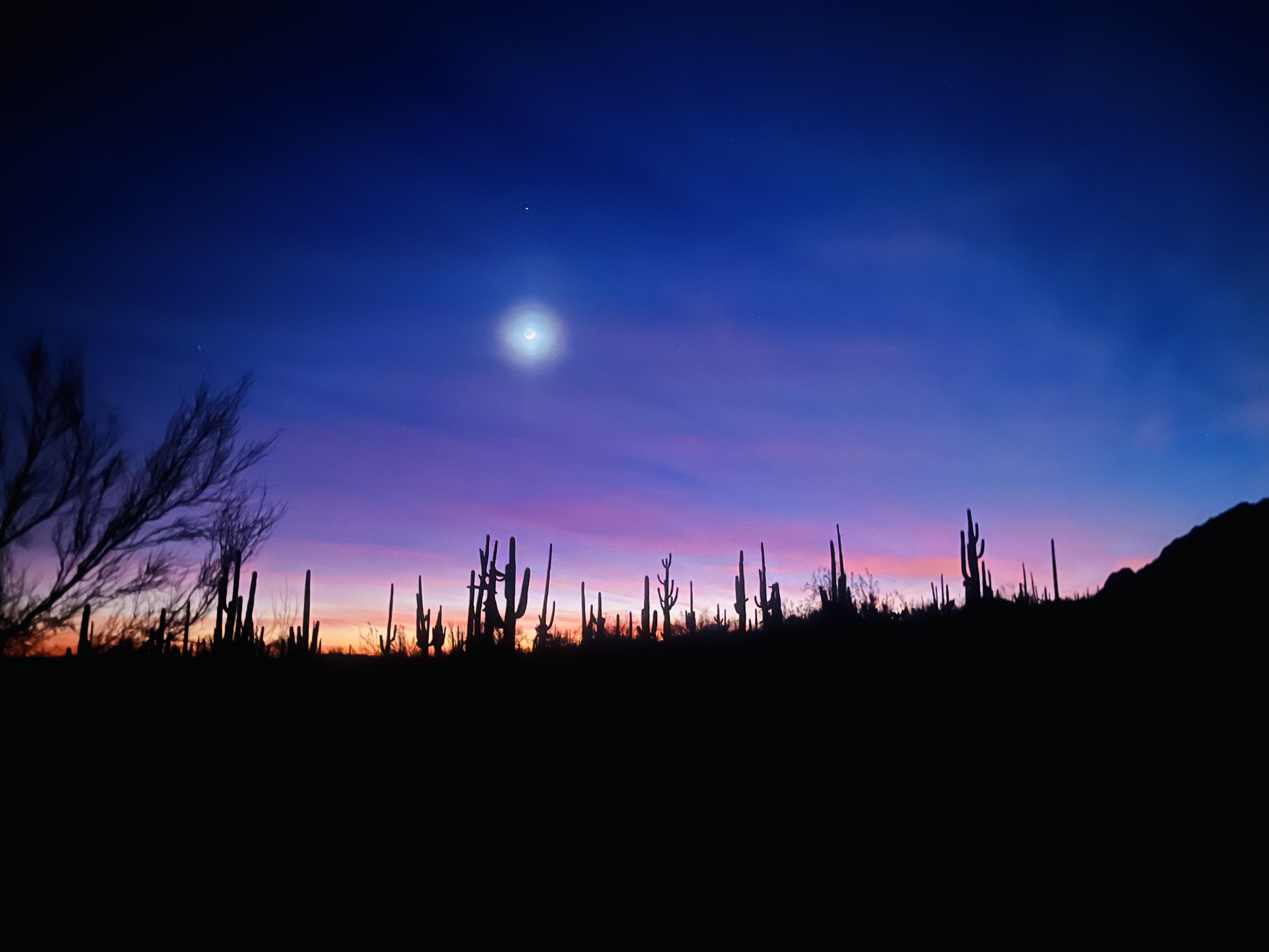
My day started with a very rude alarm at 4:30am. I left at 5am, arrived at the Carney Springs trailhead by 6am, helped set up the car shuttle, and started hiking at 6:50am. (For those of you who are wondering what a “car shuttle” is, that means leaving a few cars at the meeting point and driving the rest of the cars to the starting point. The hike is a one way hike, so at the end of the day, the owners of the cars at the meeting point, i.e., end point, drive all the hikers to the other side. We finished hiking and arrived back at Carney Springs at 6:50pm, which was exactly 12 hours.
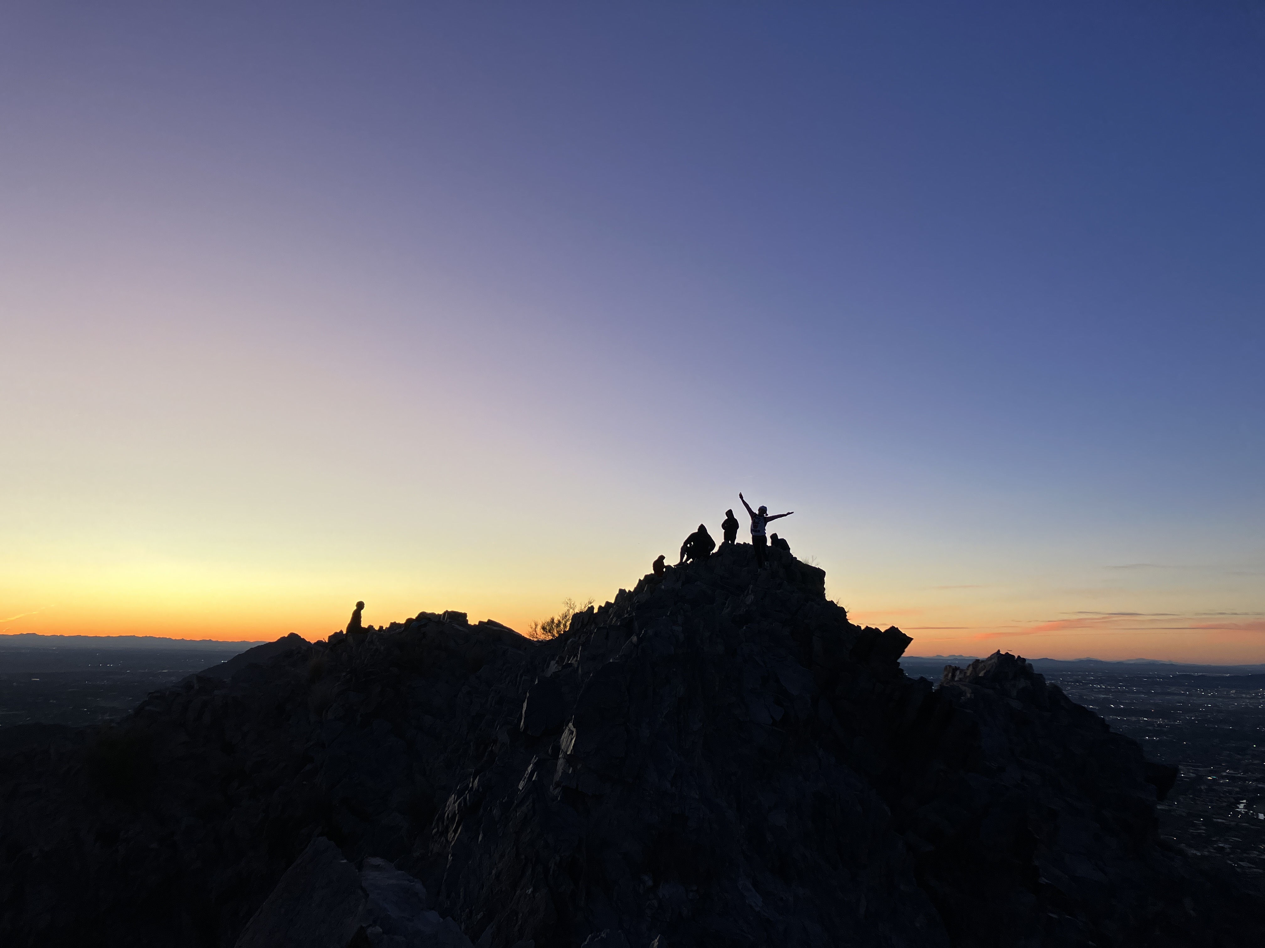
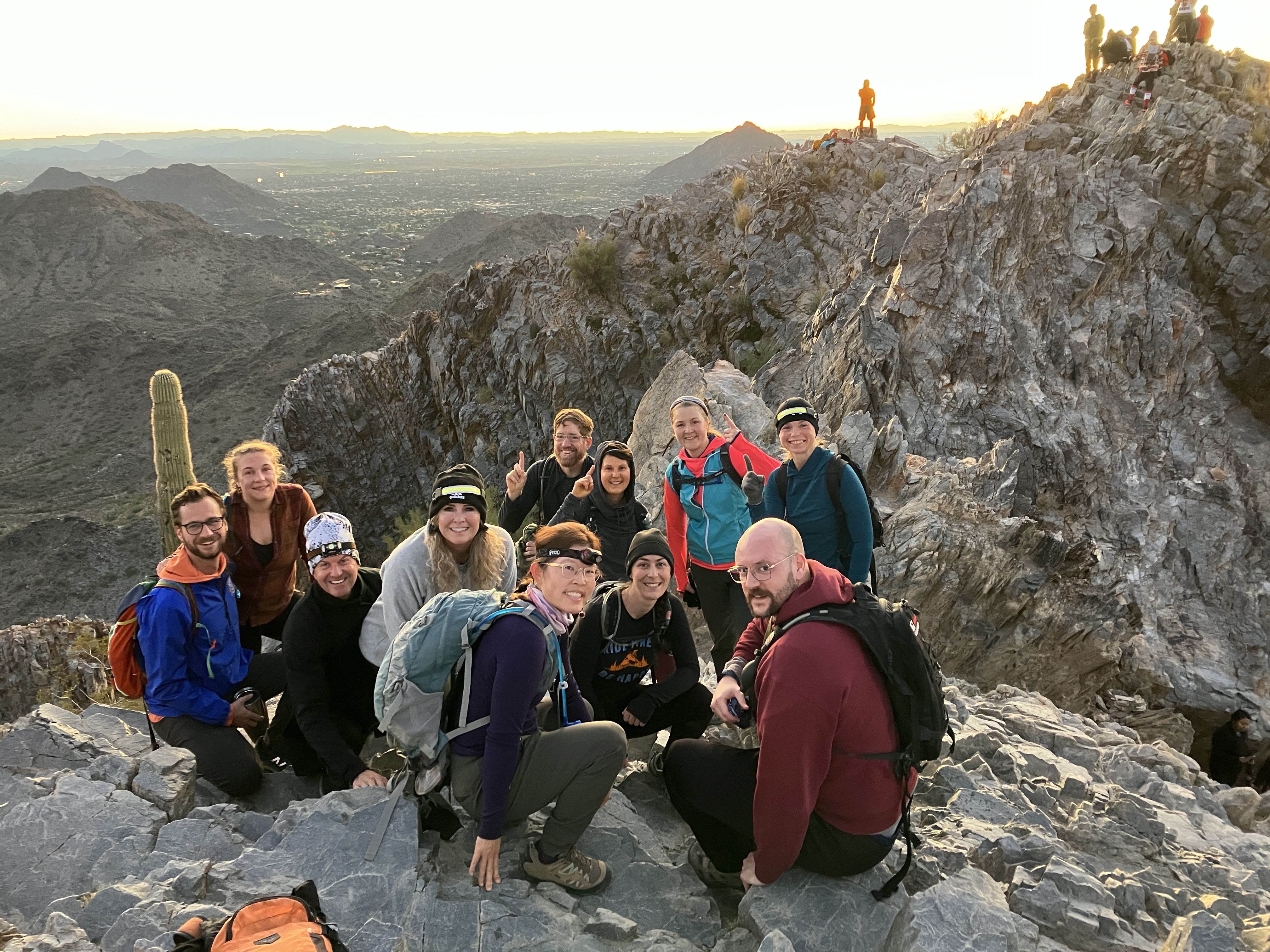
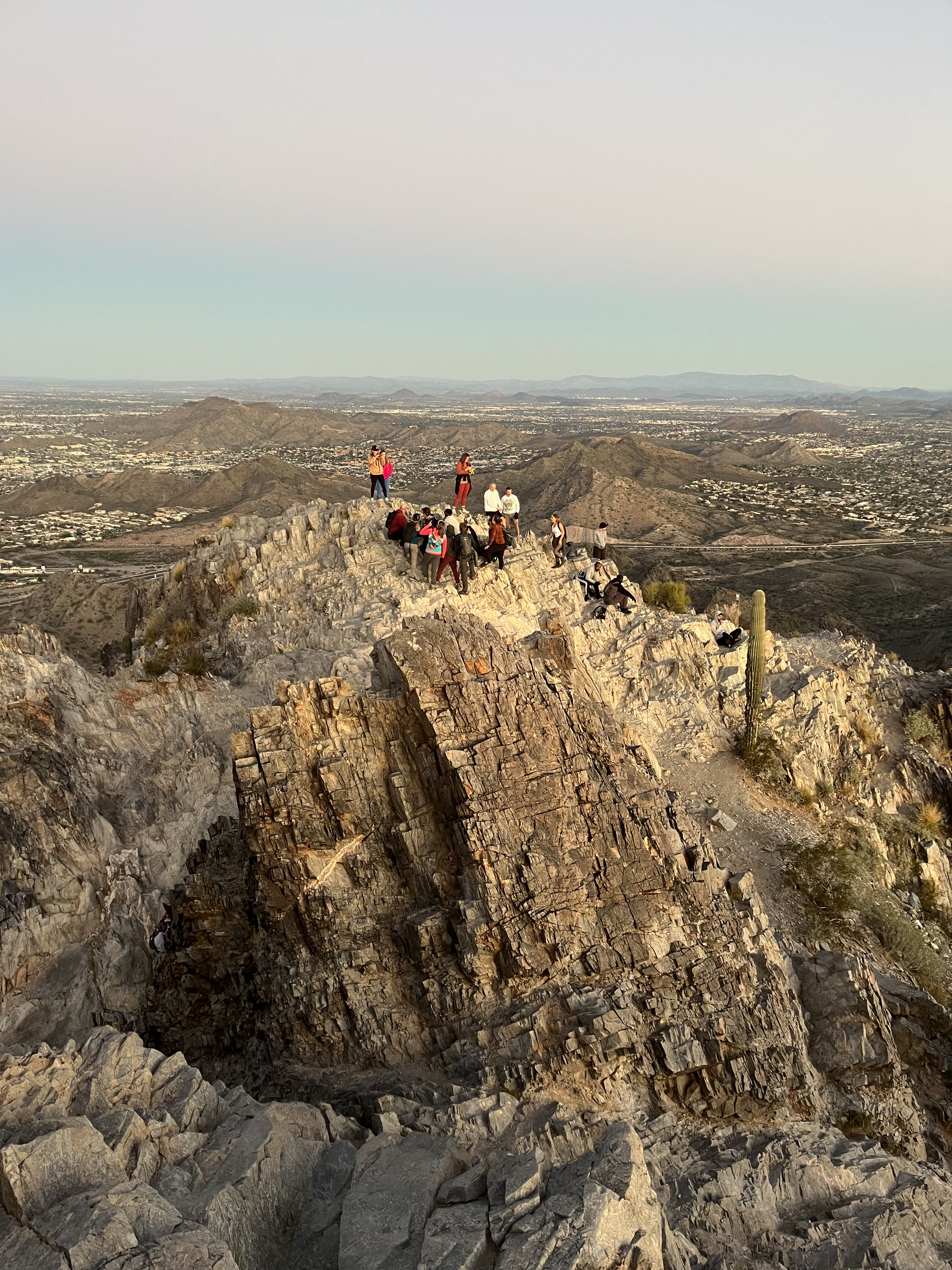
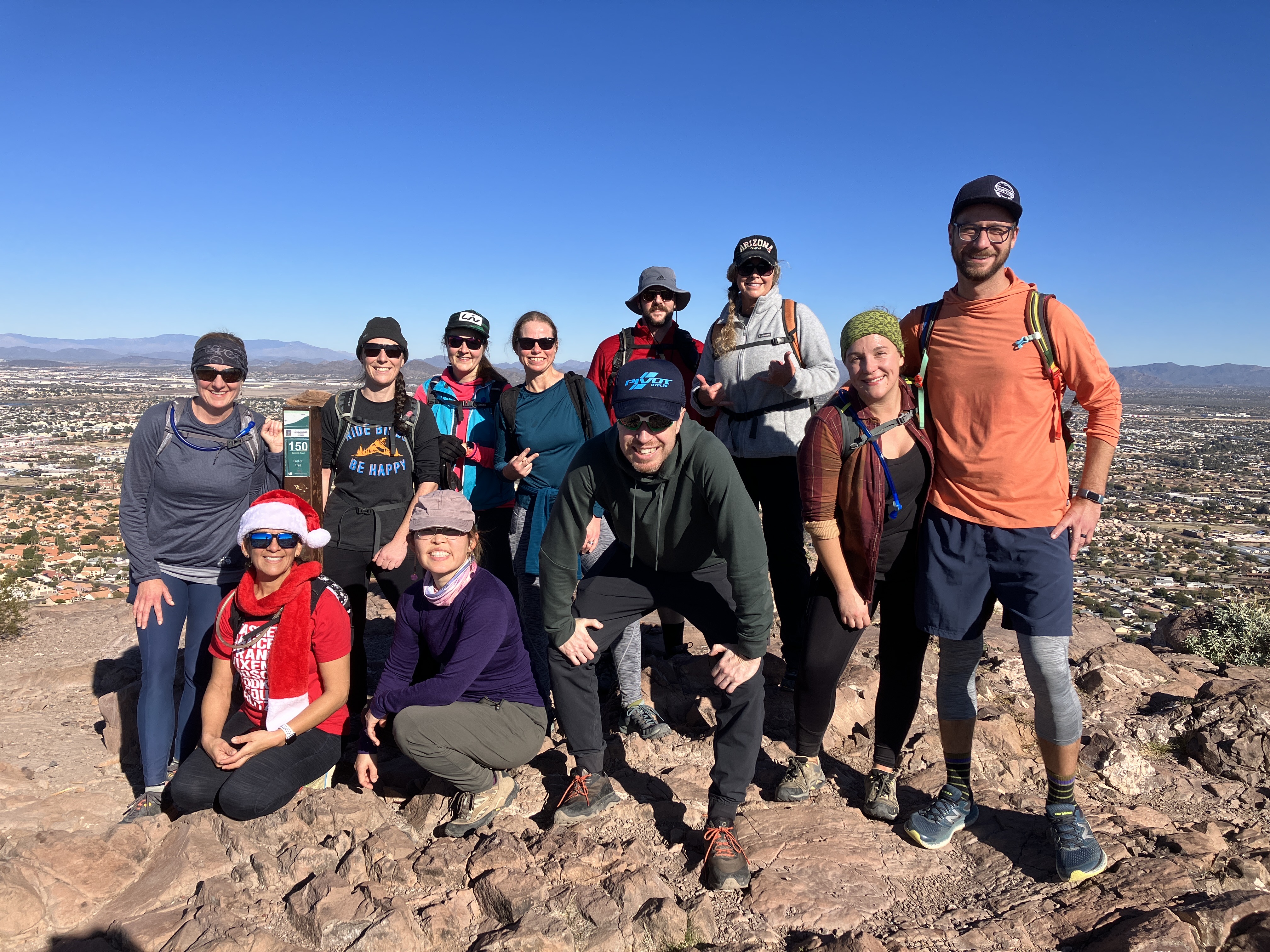
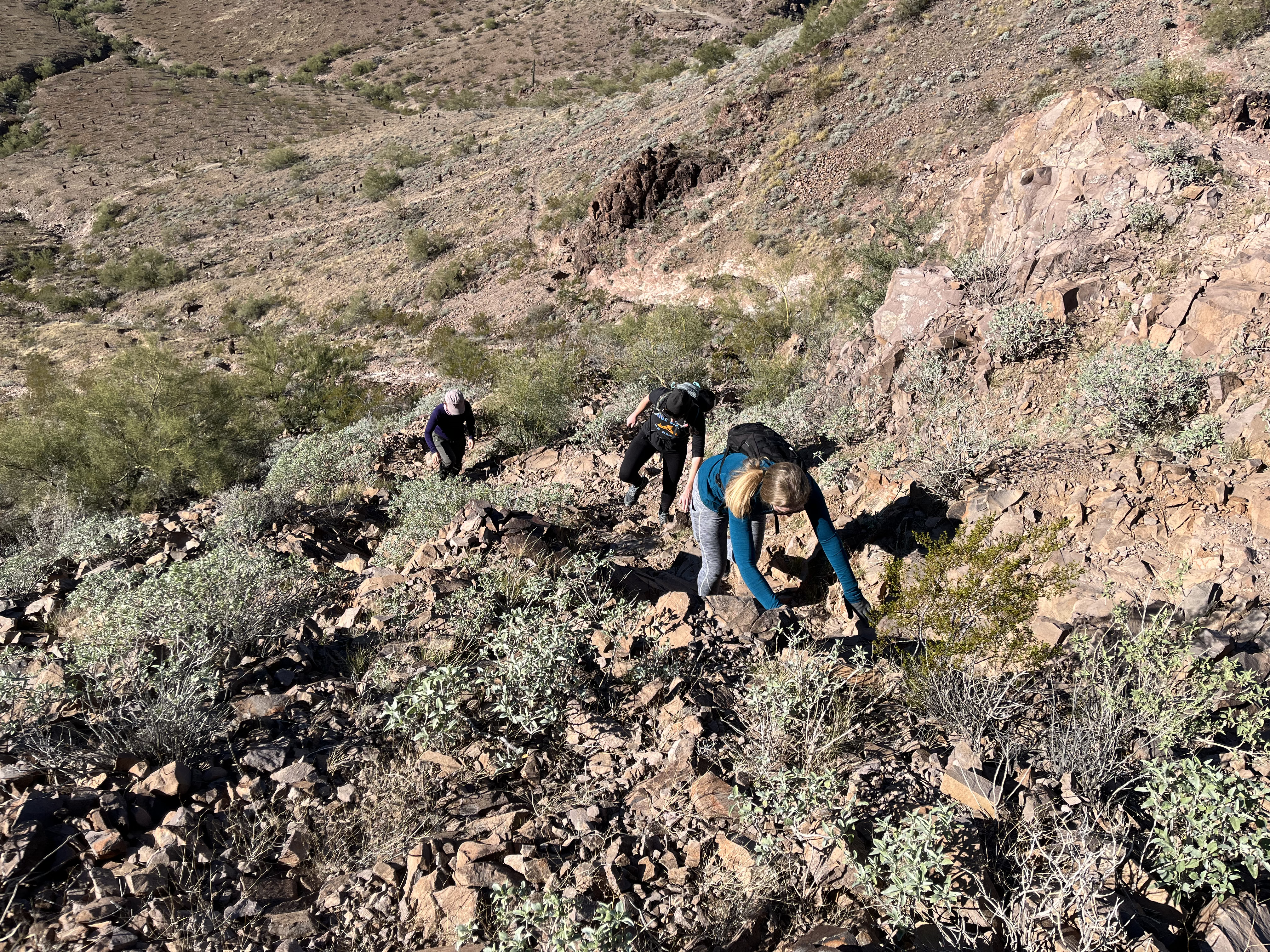
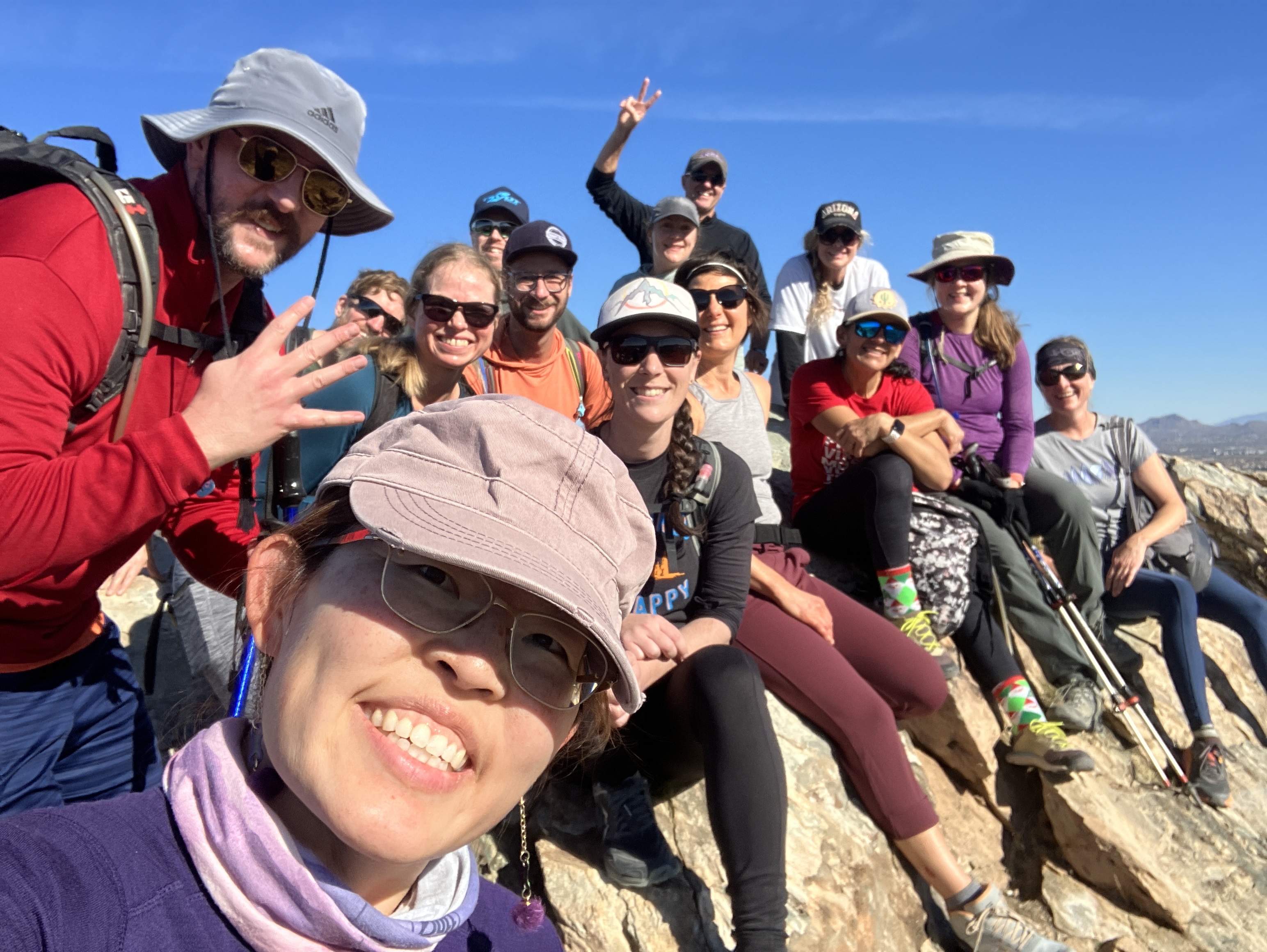
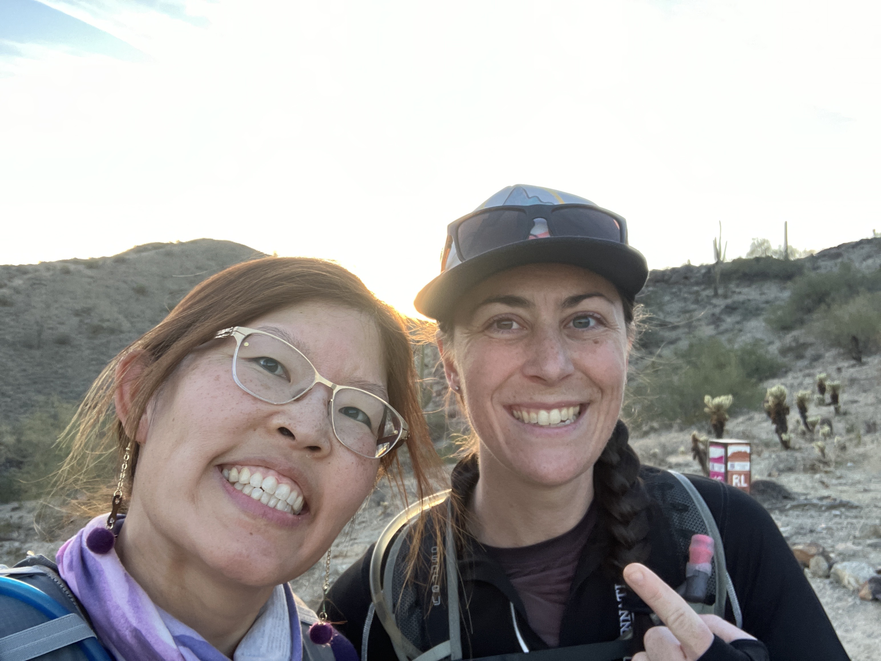
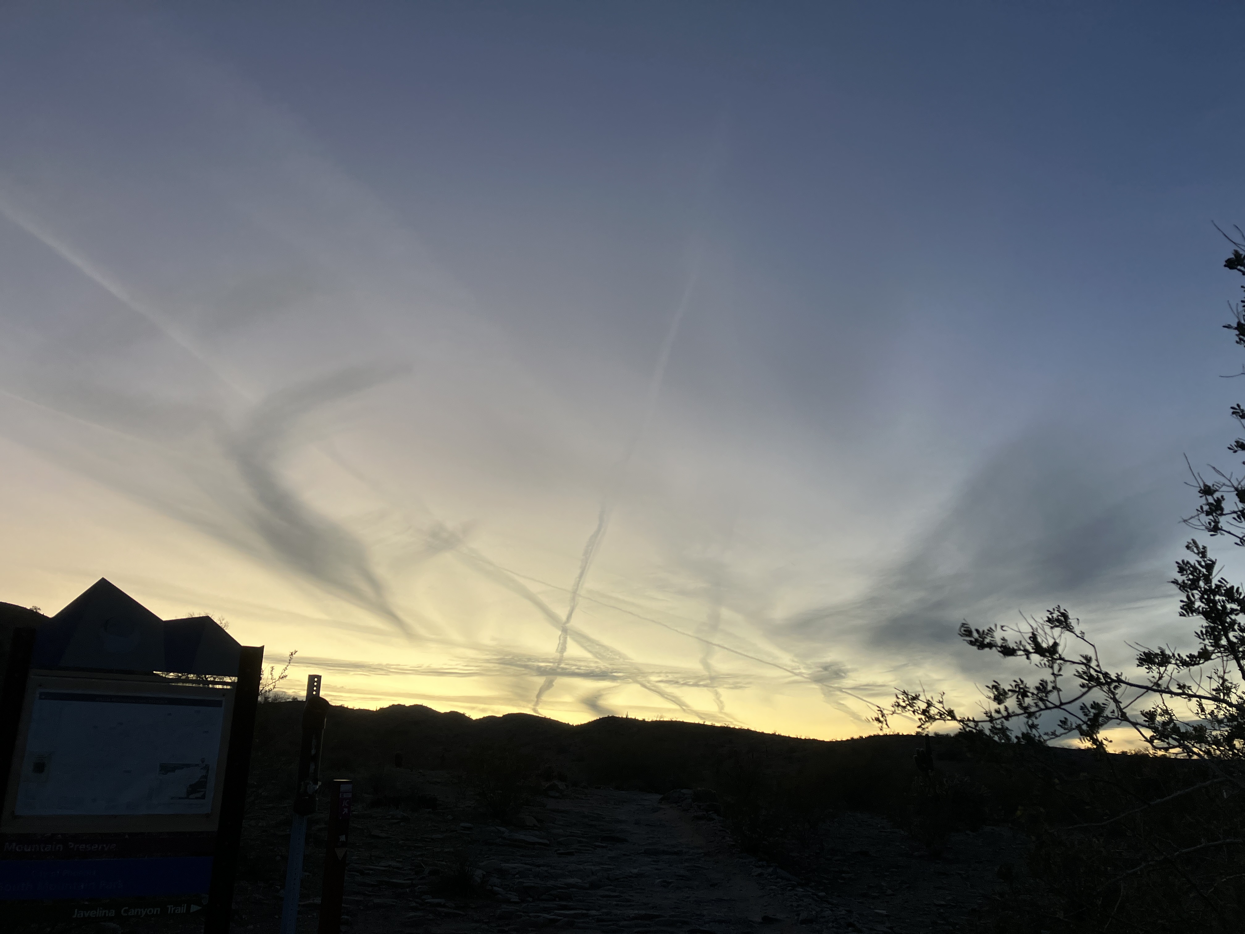
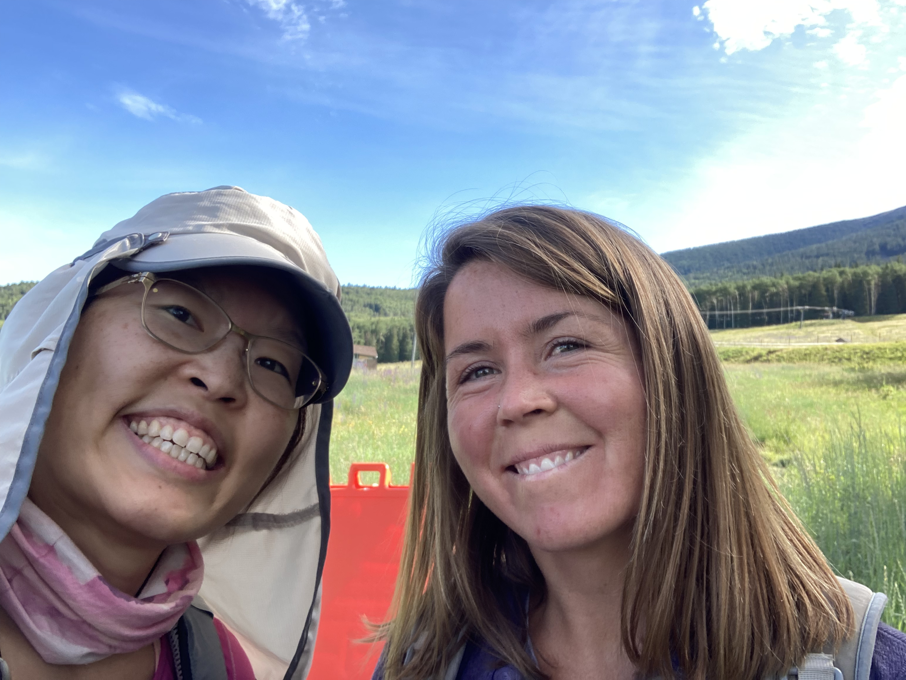
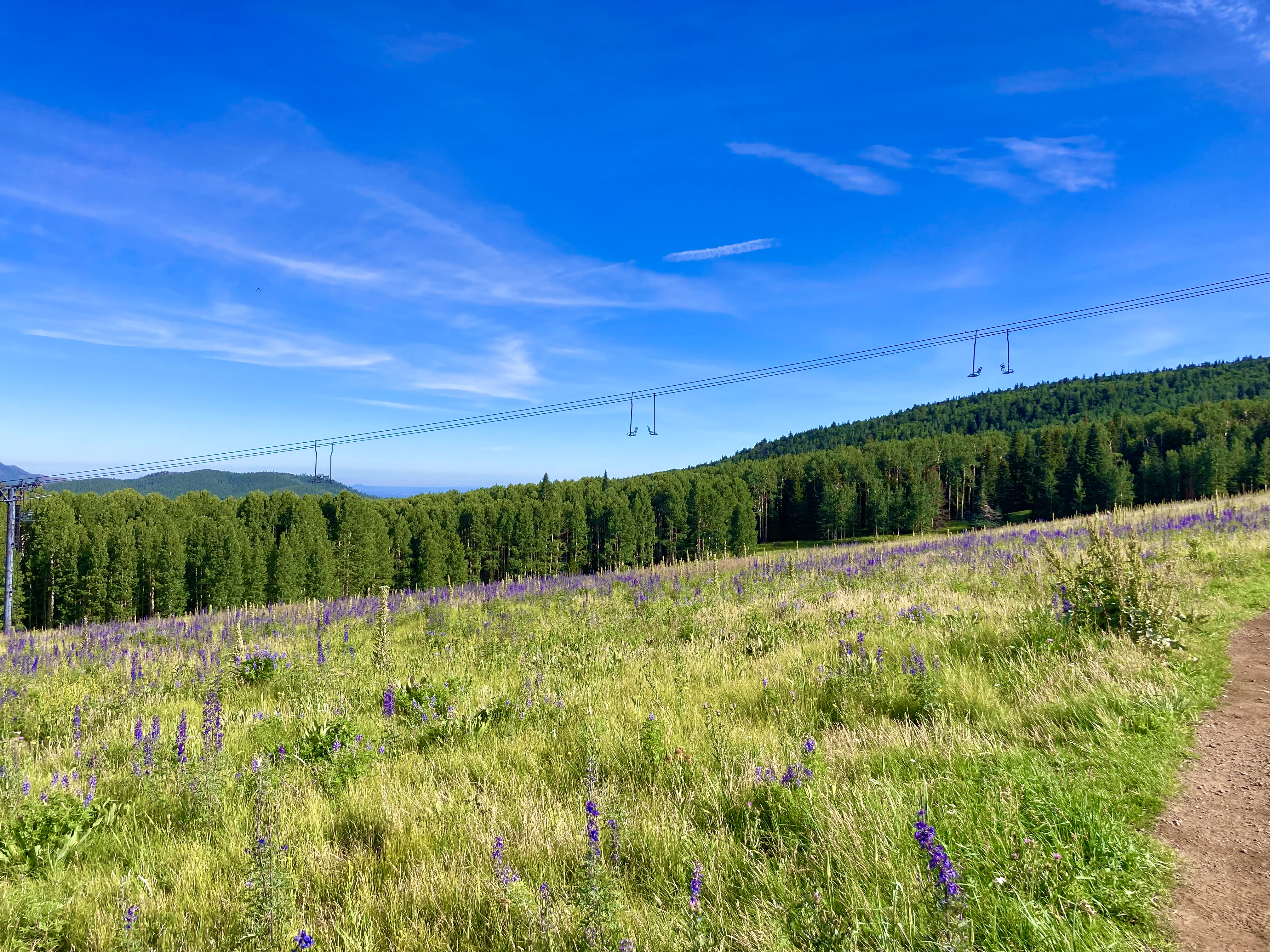
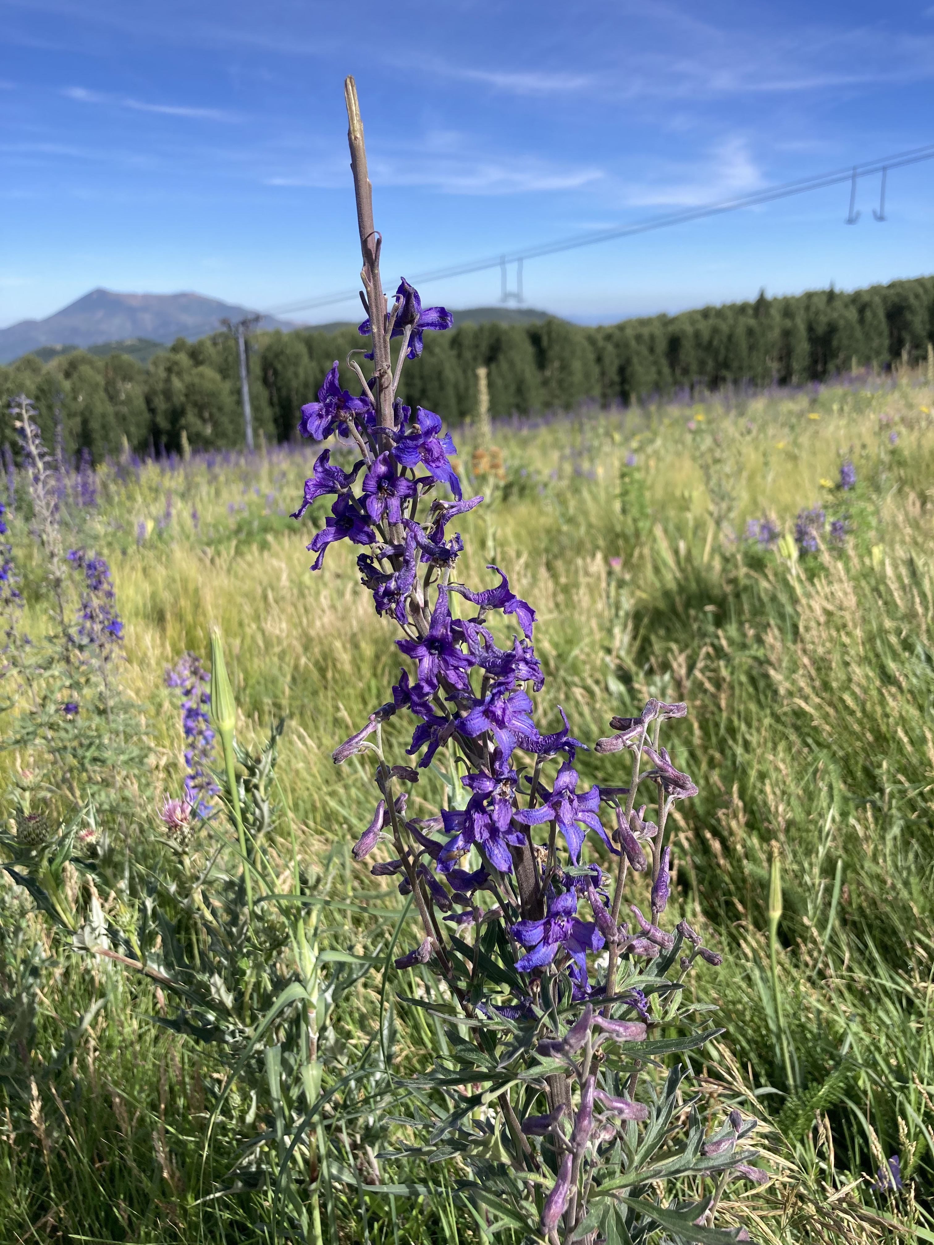
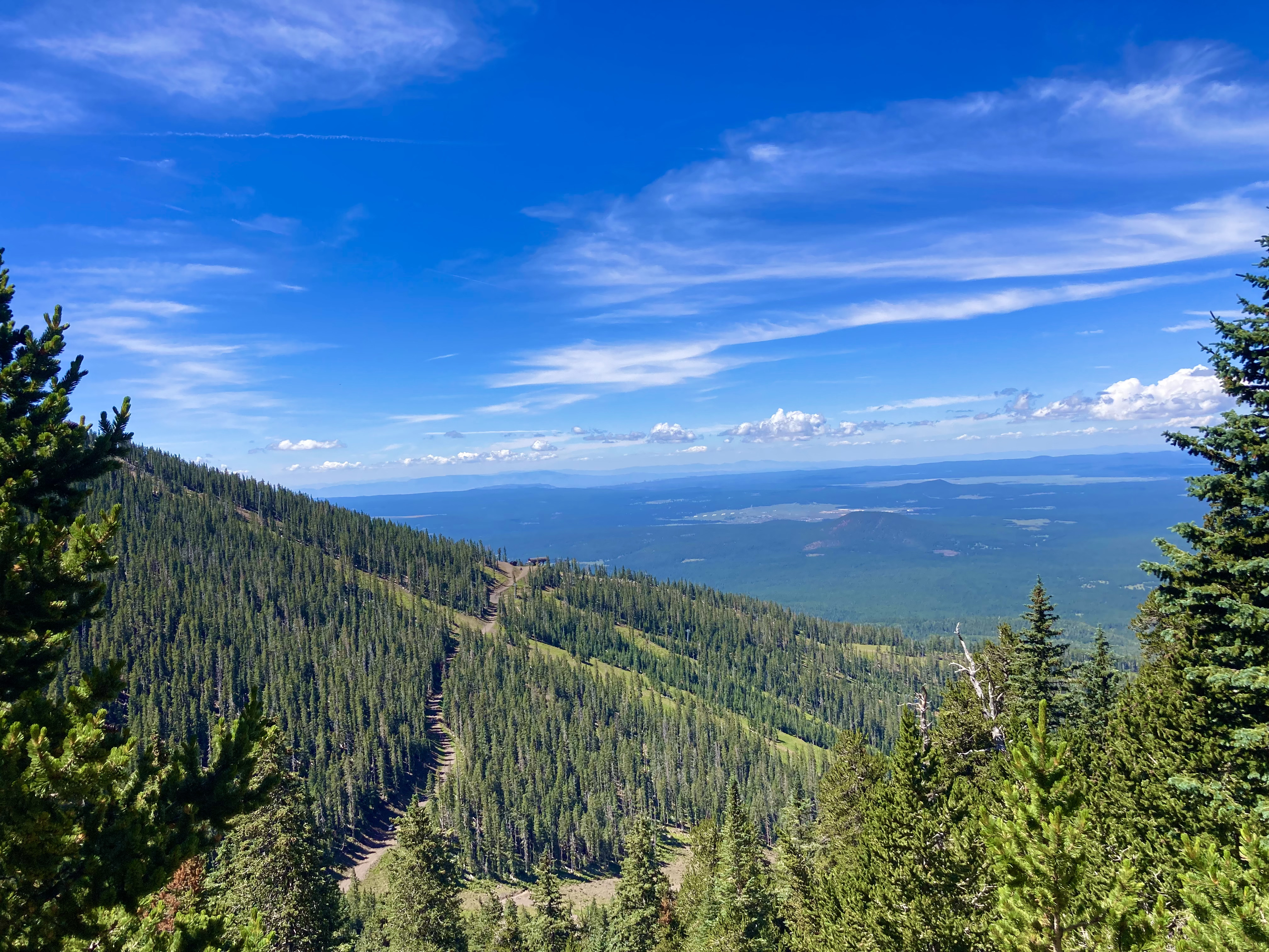
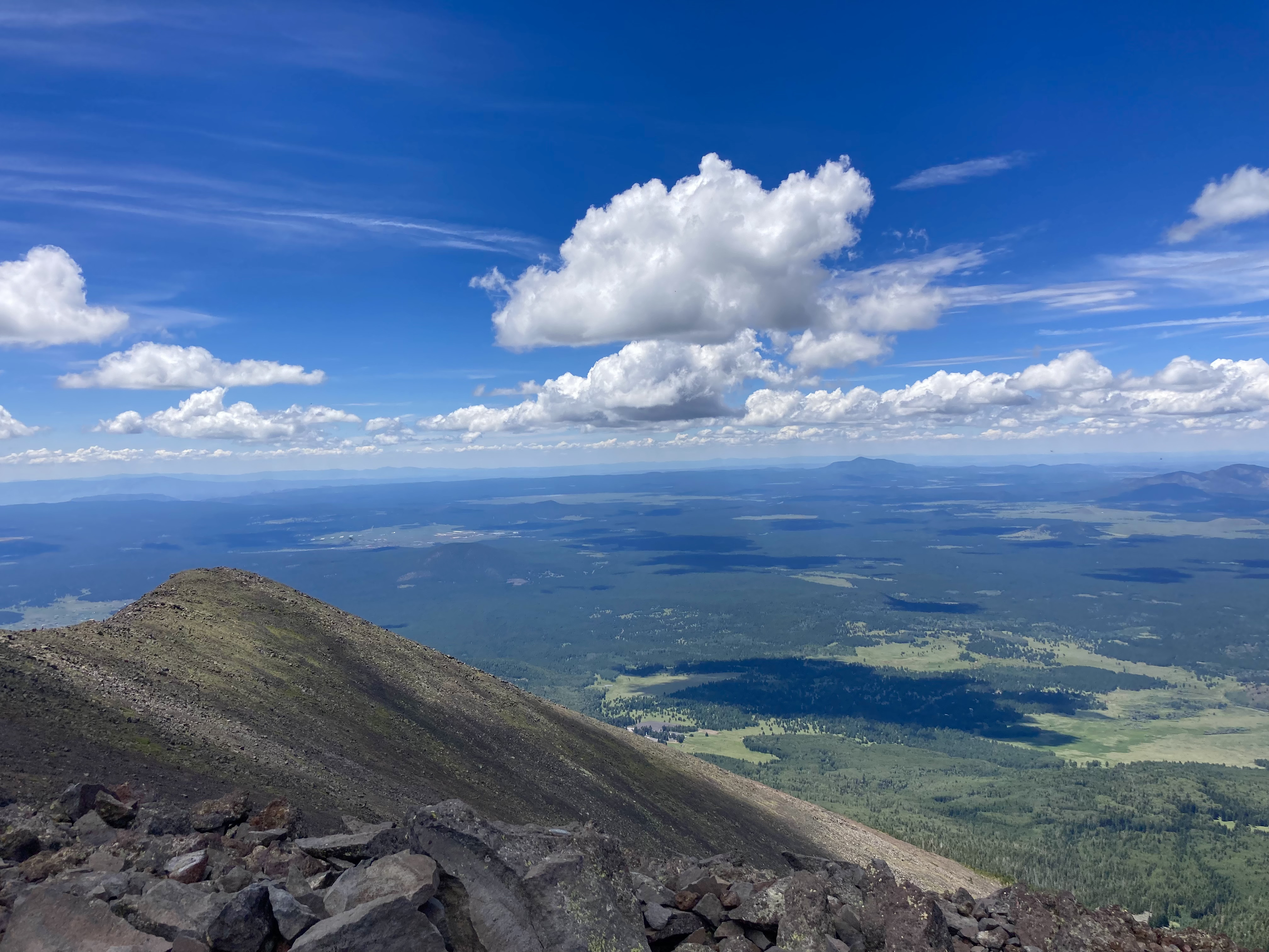
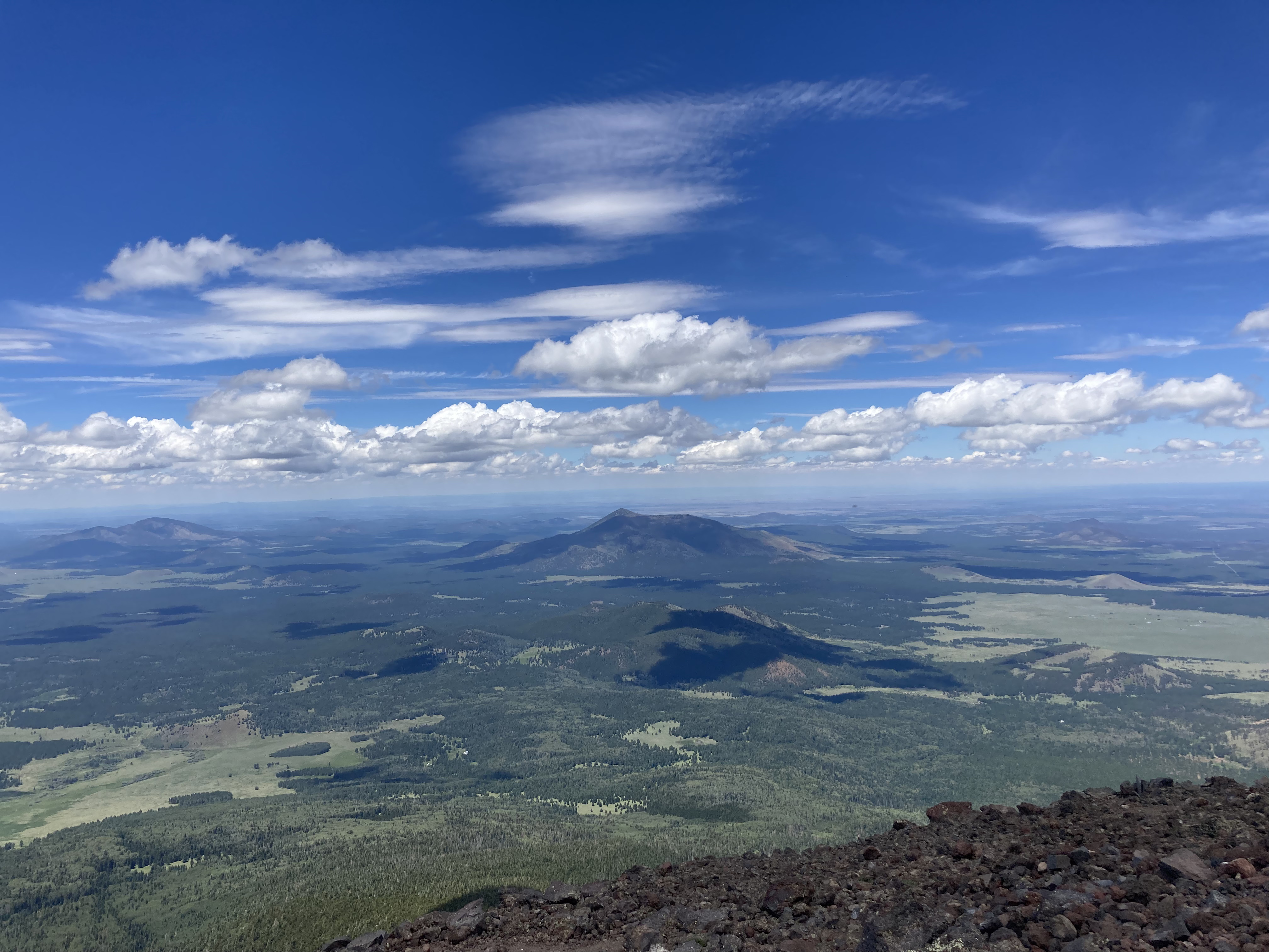
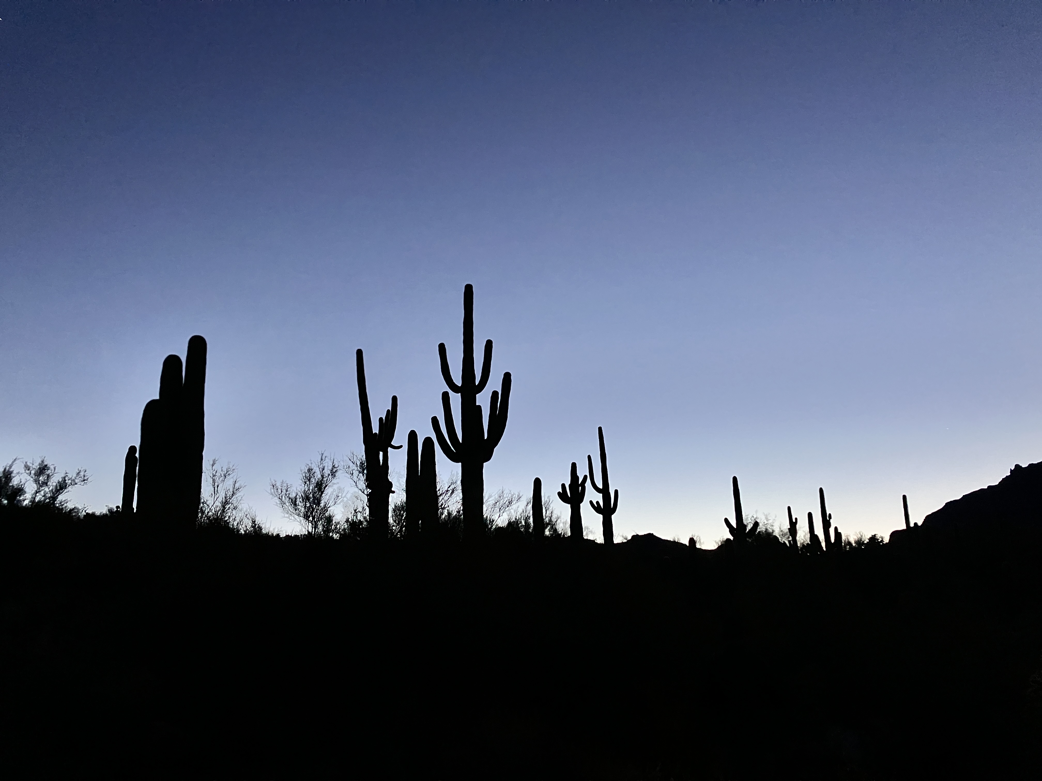
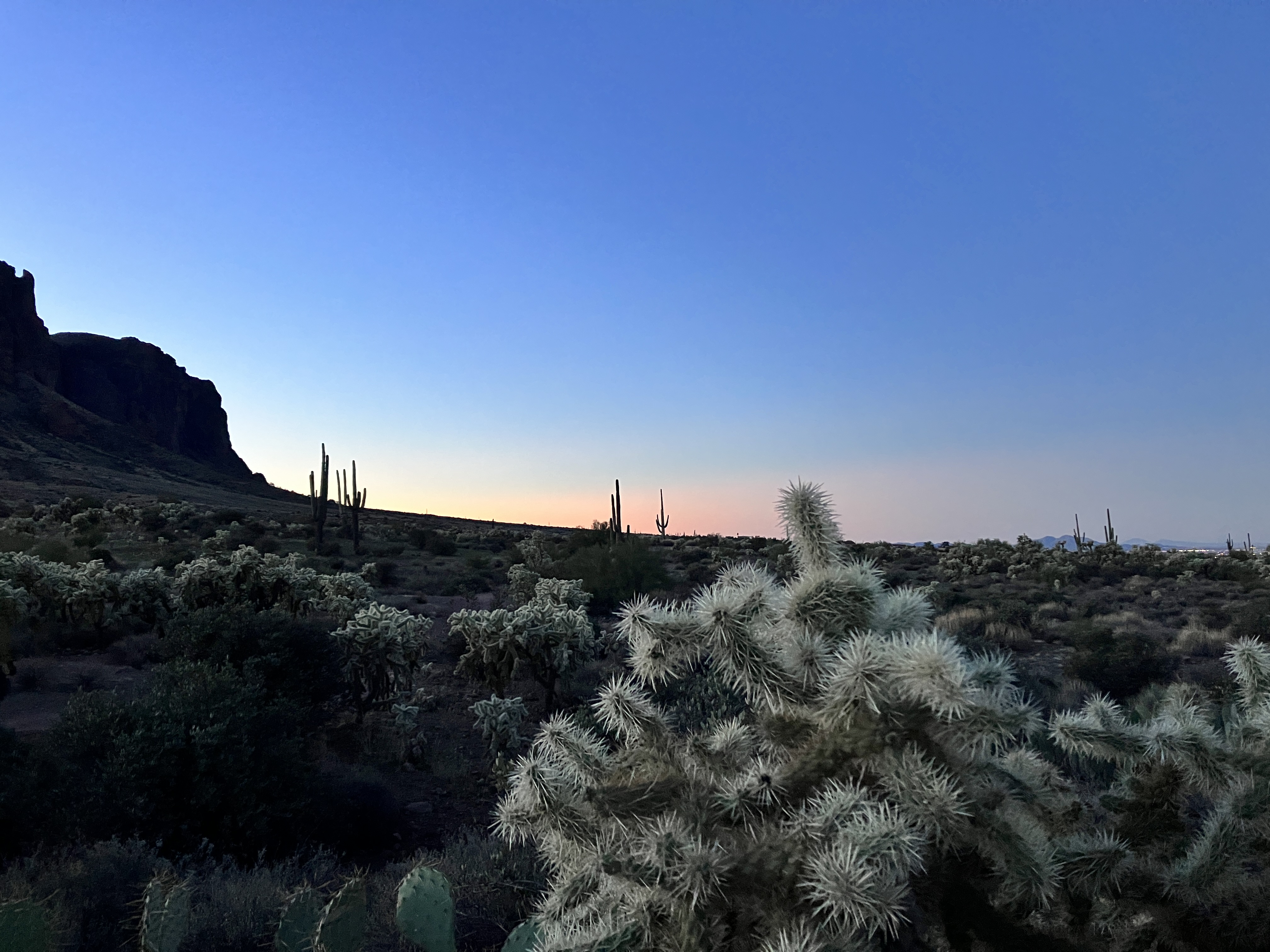
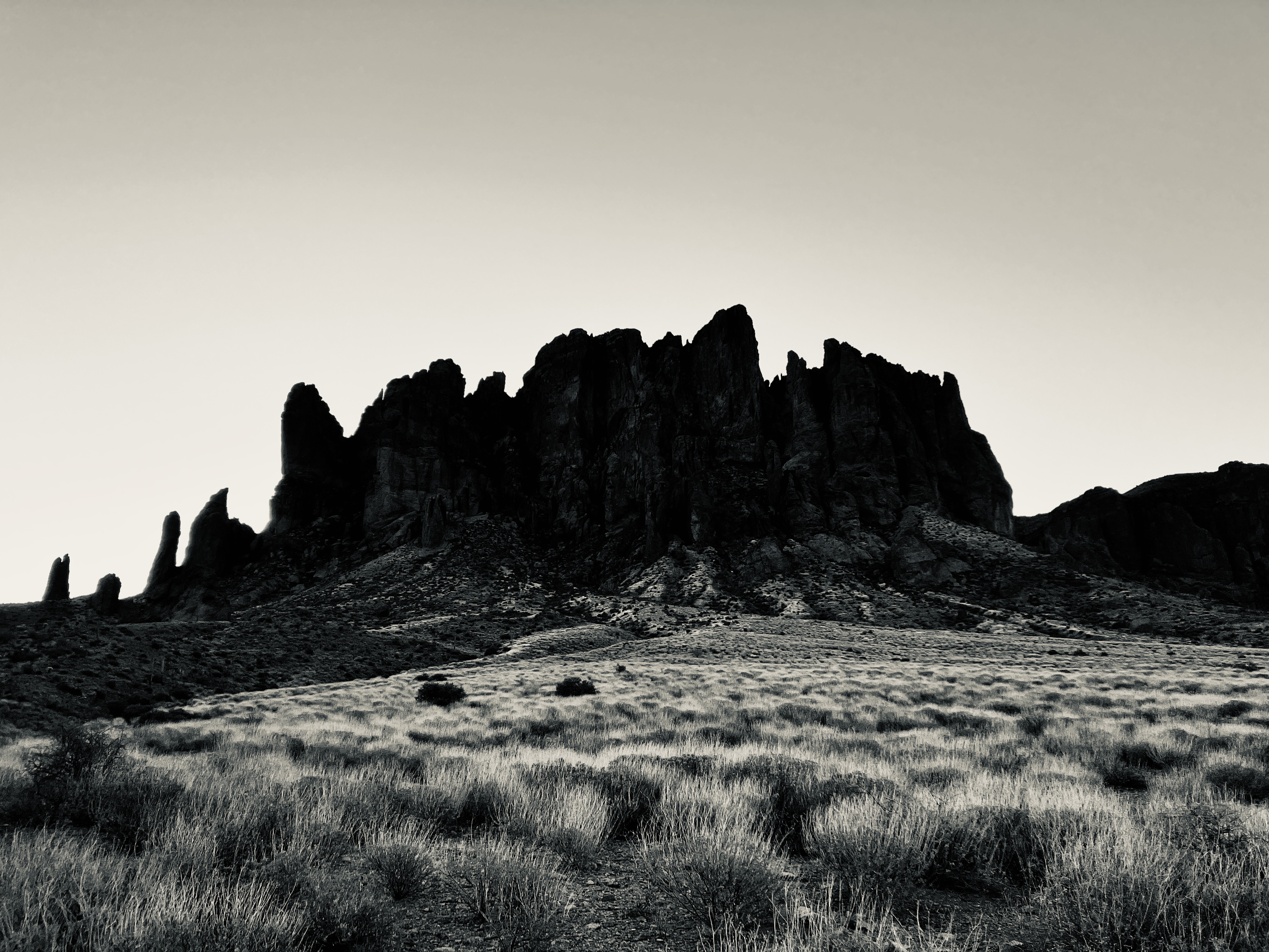
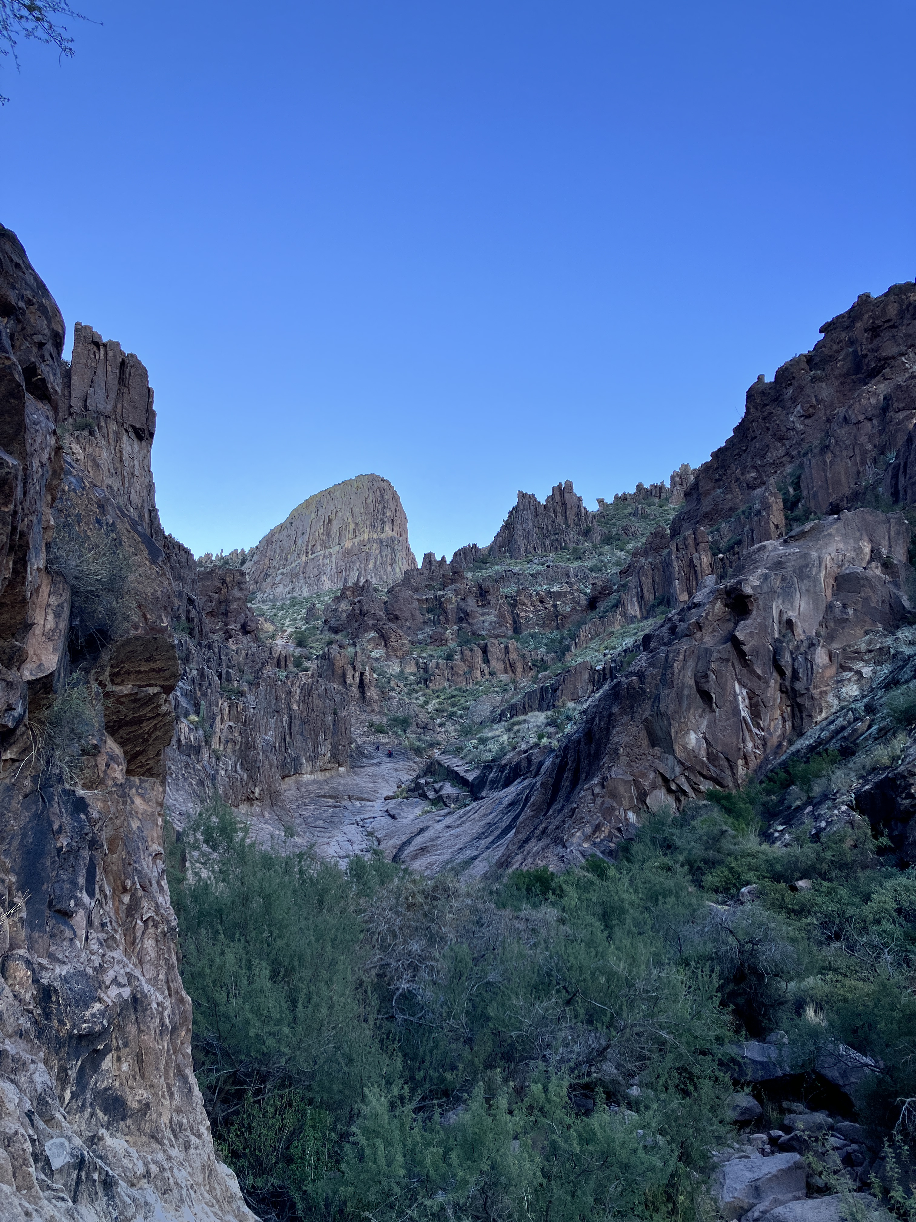
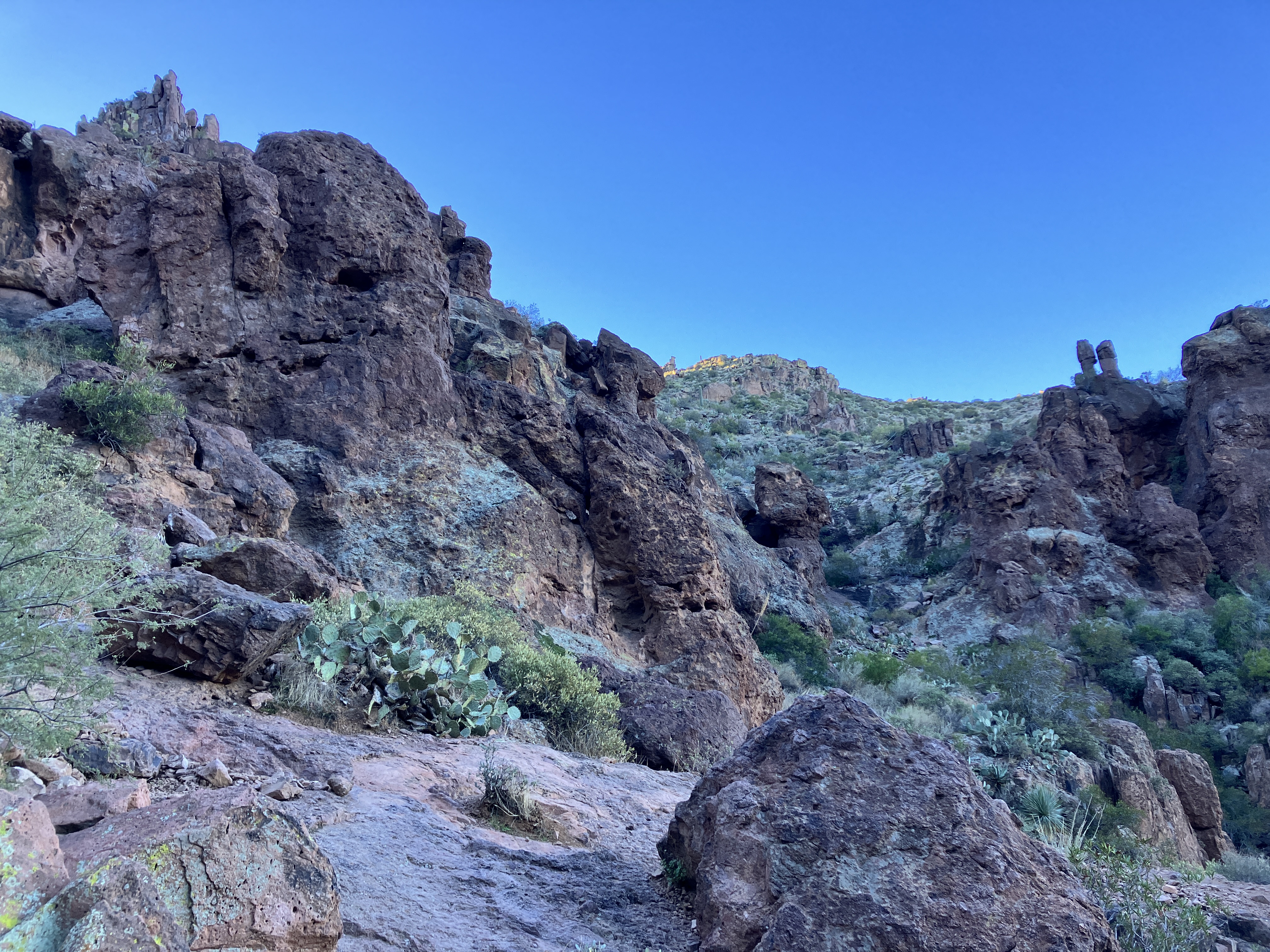
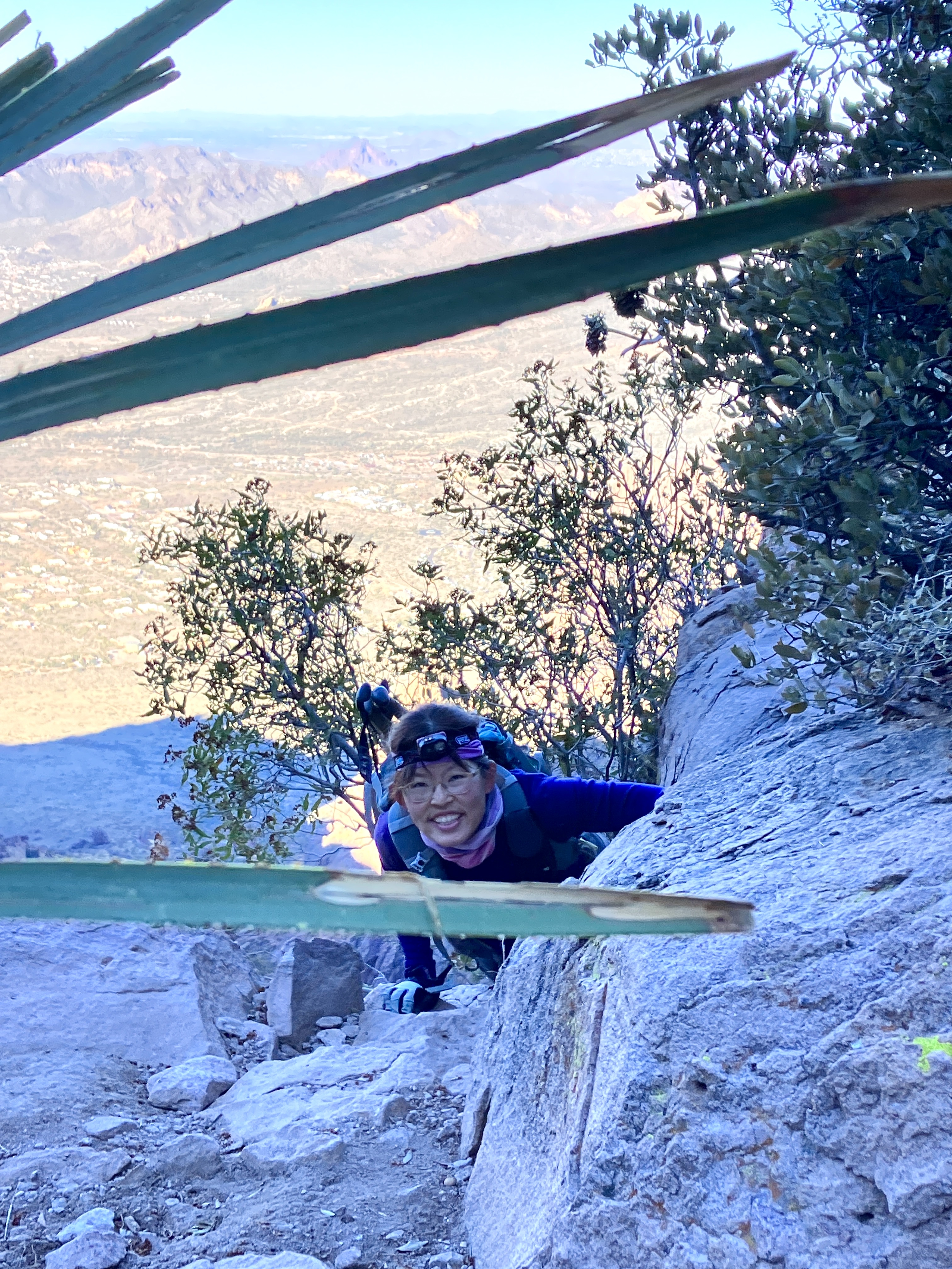
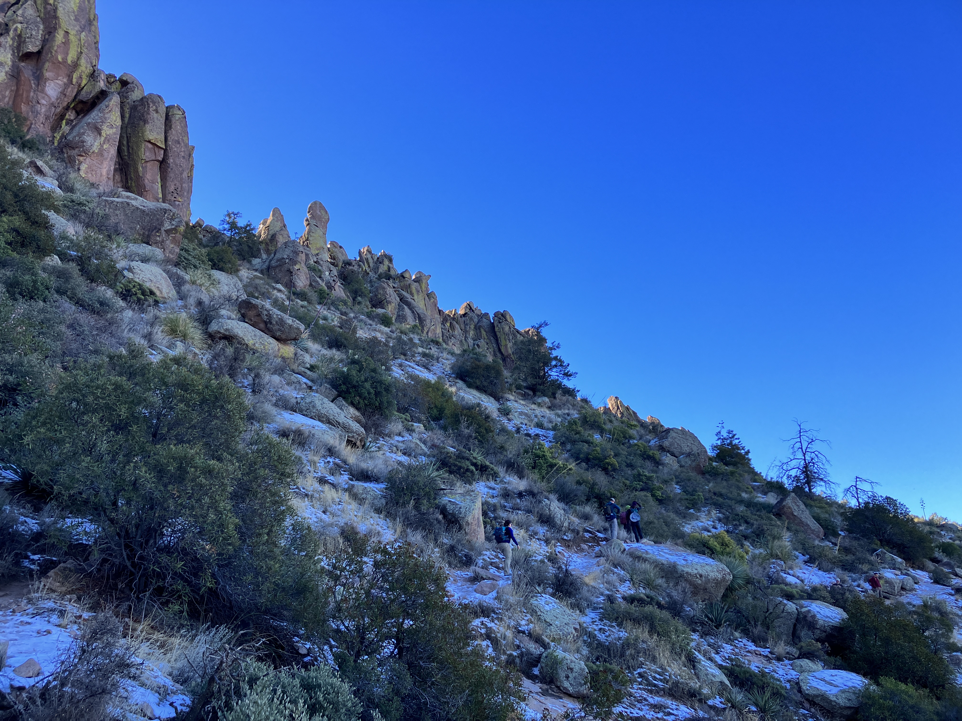
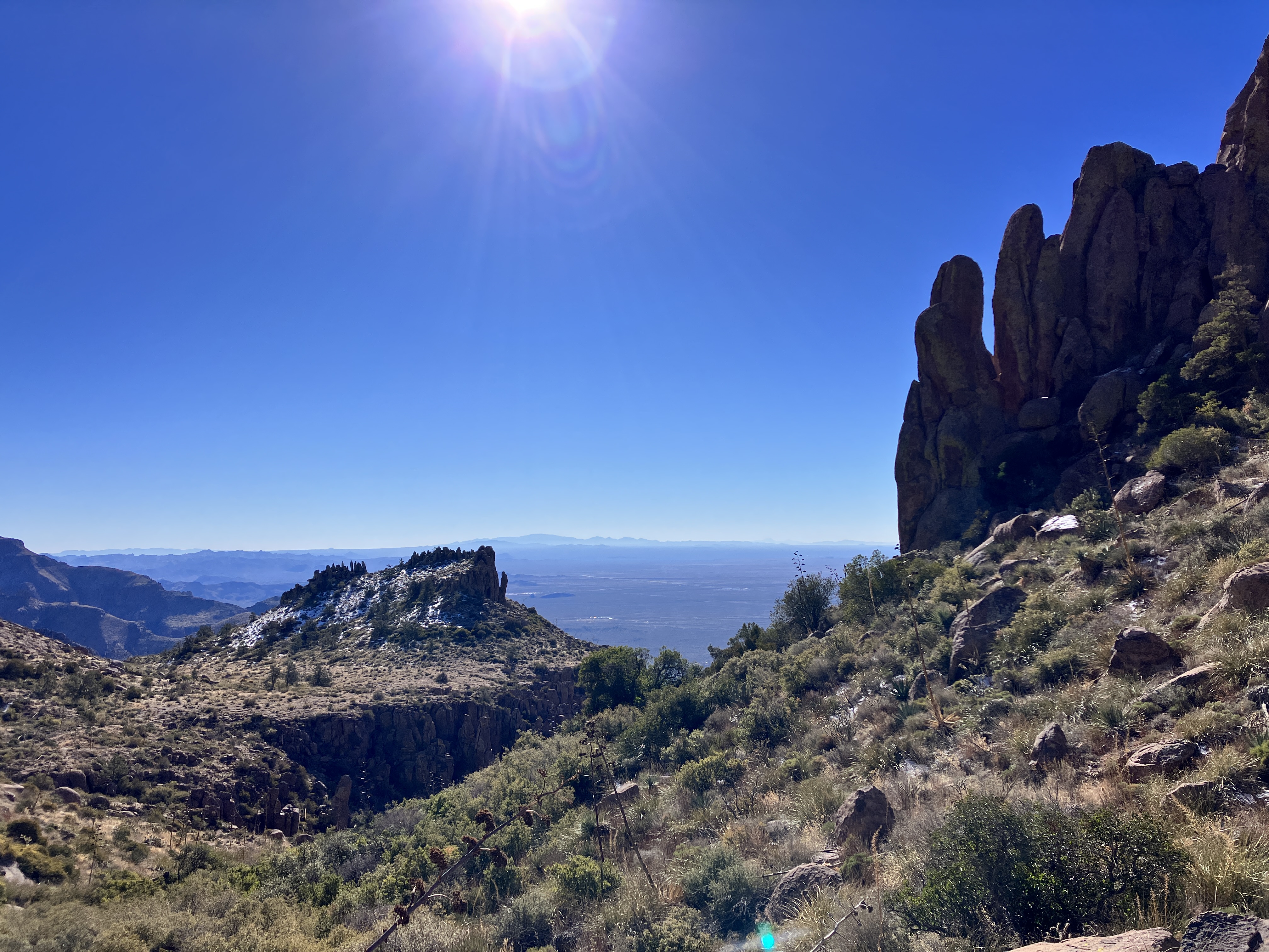
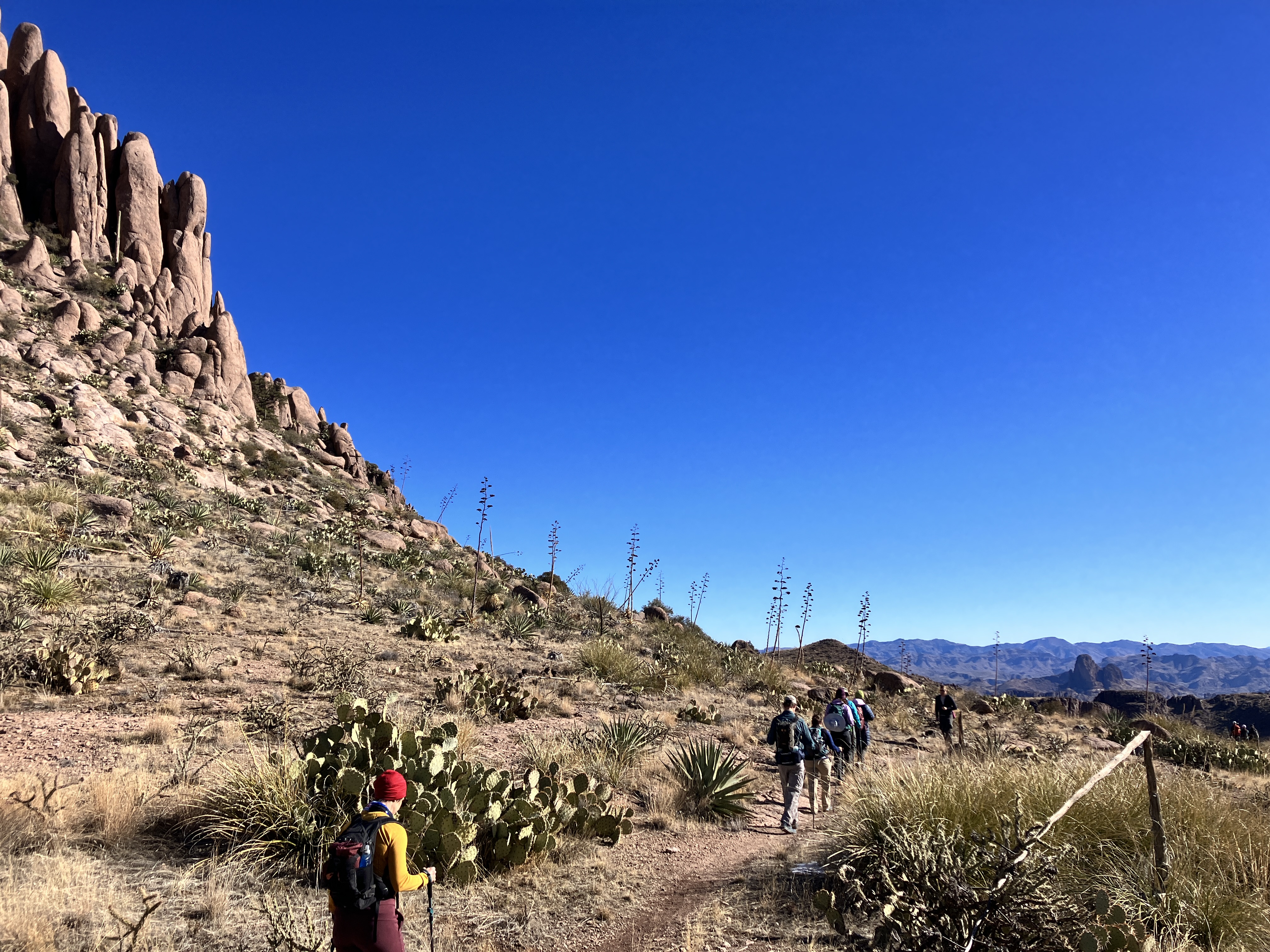
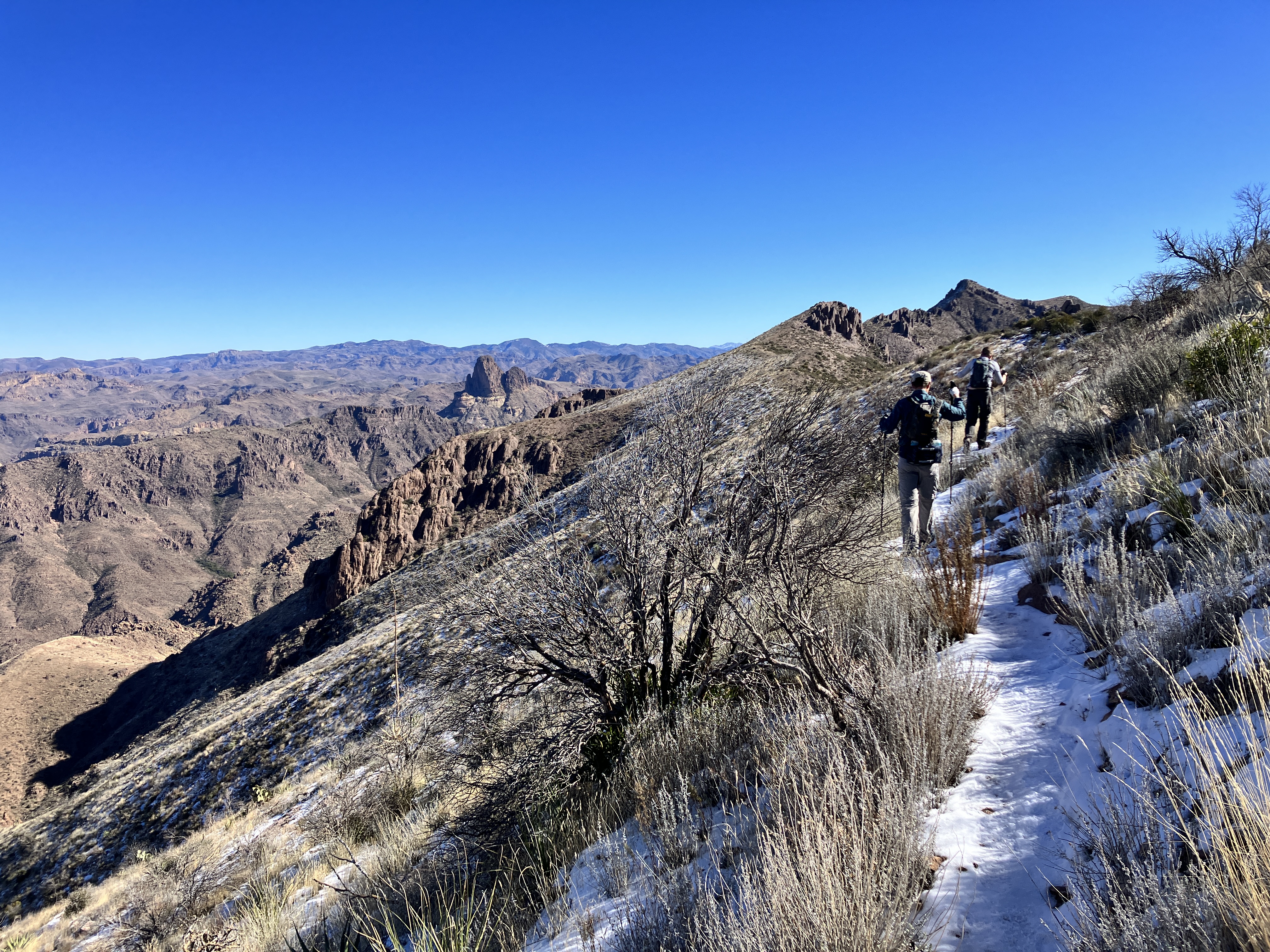
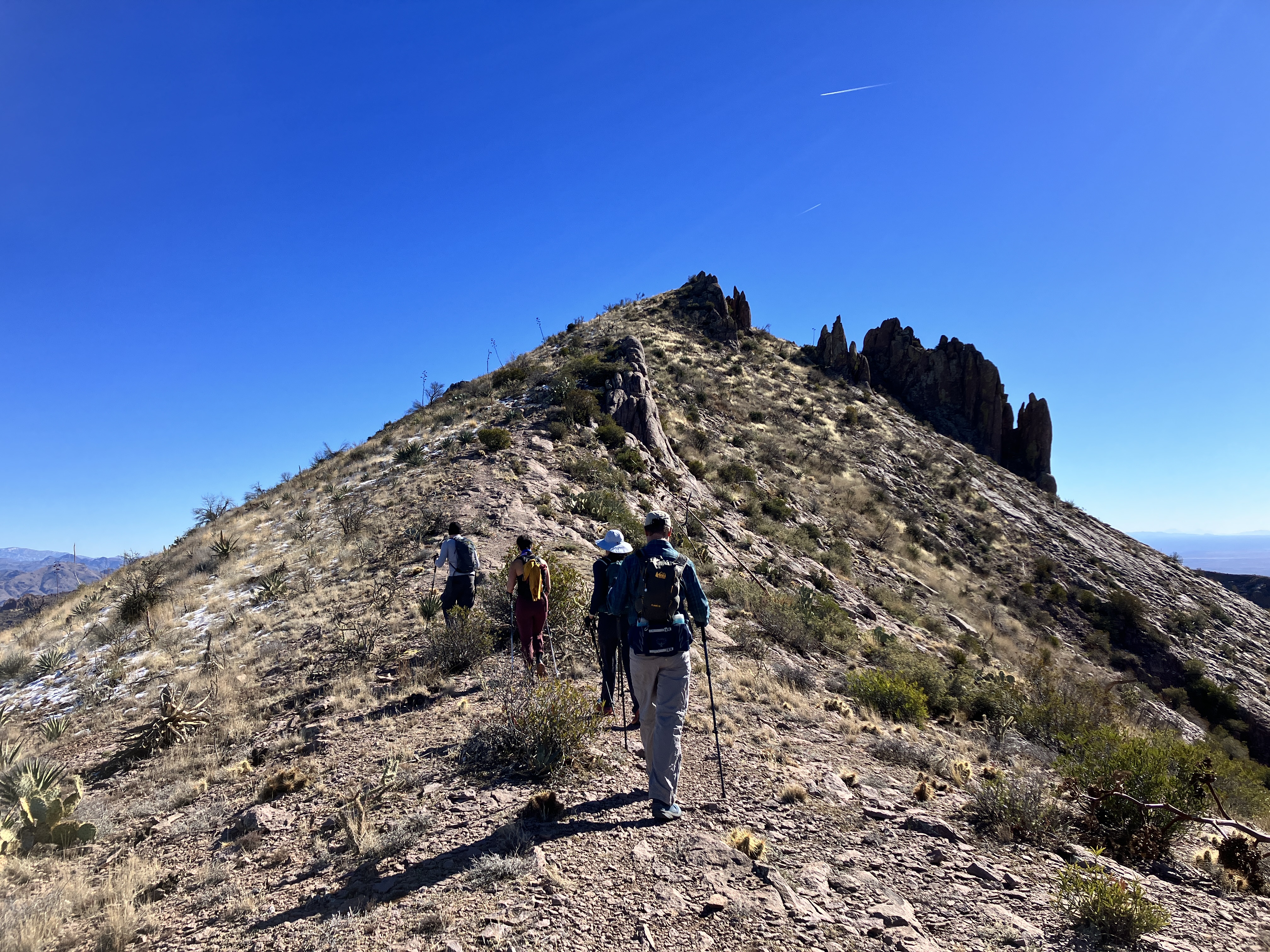
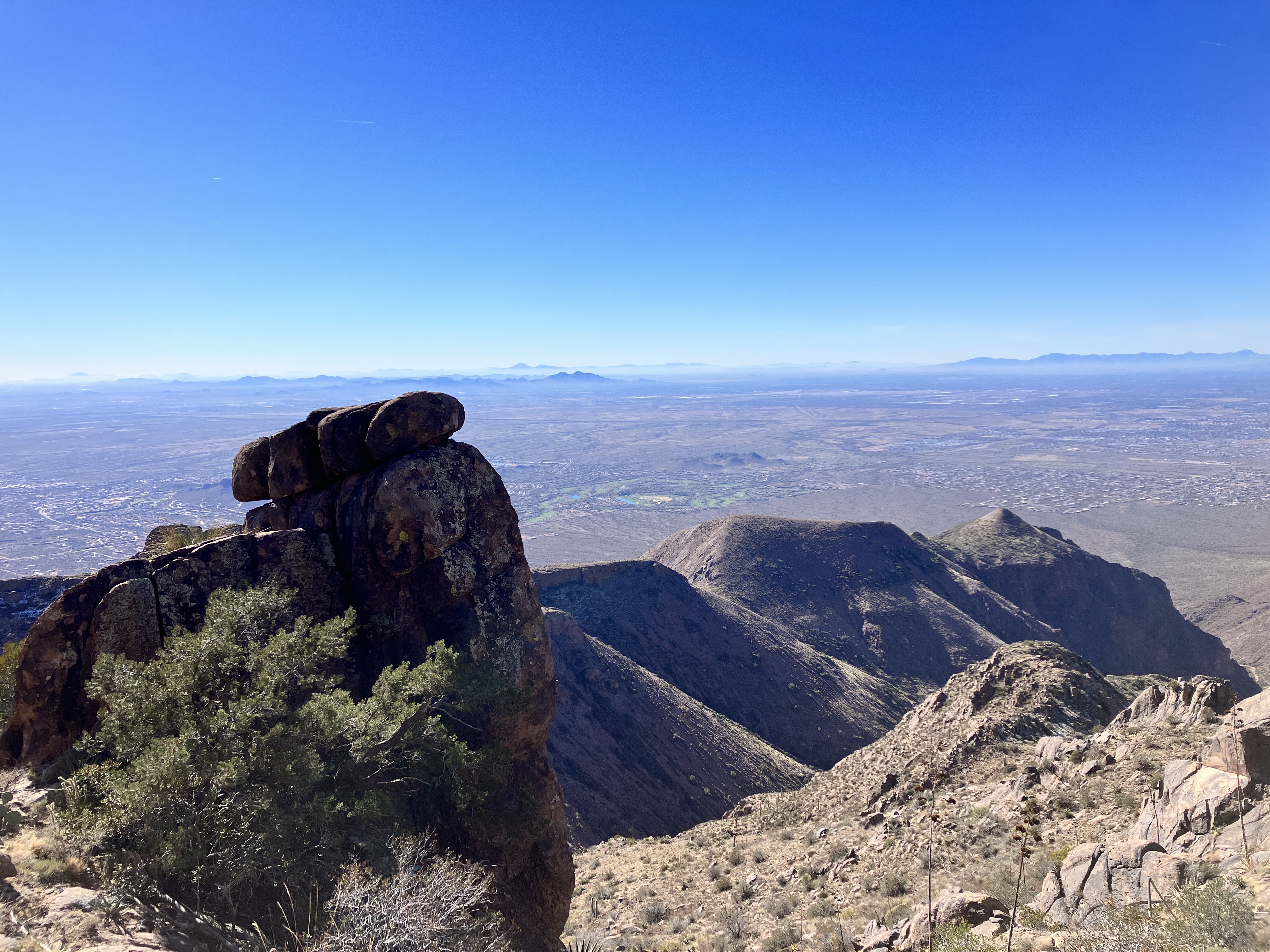
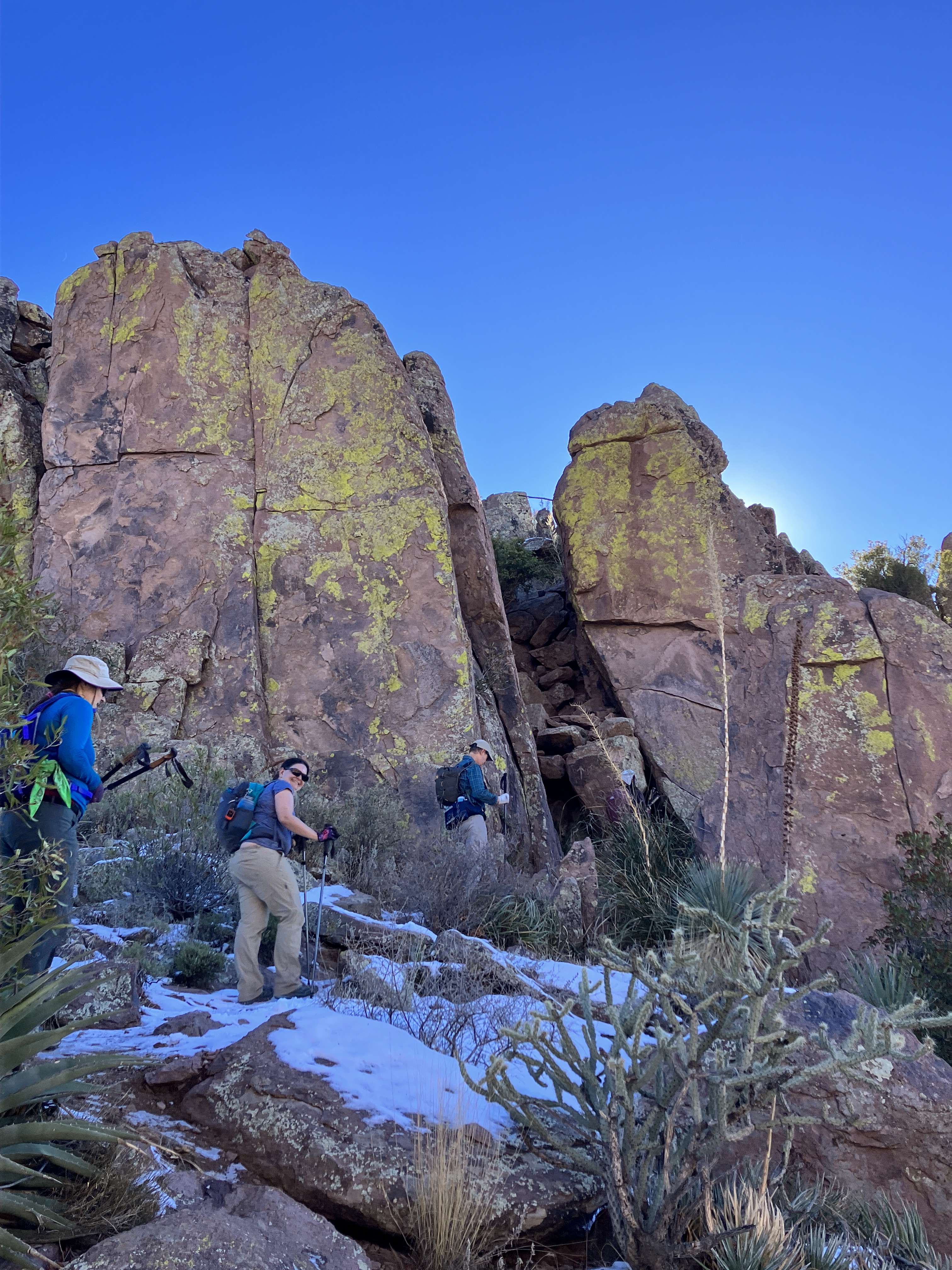
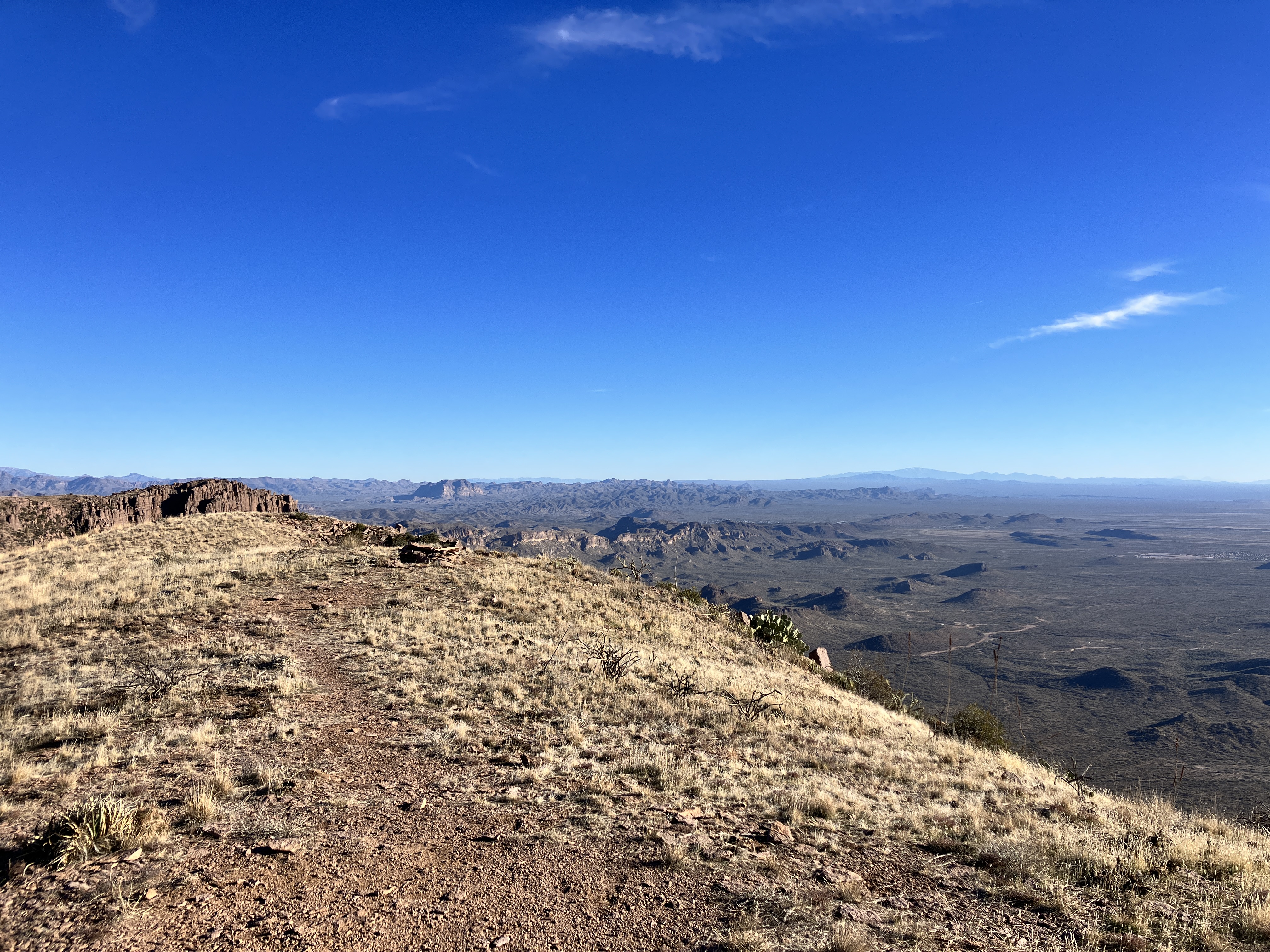
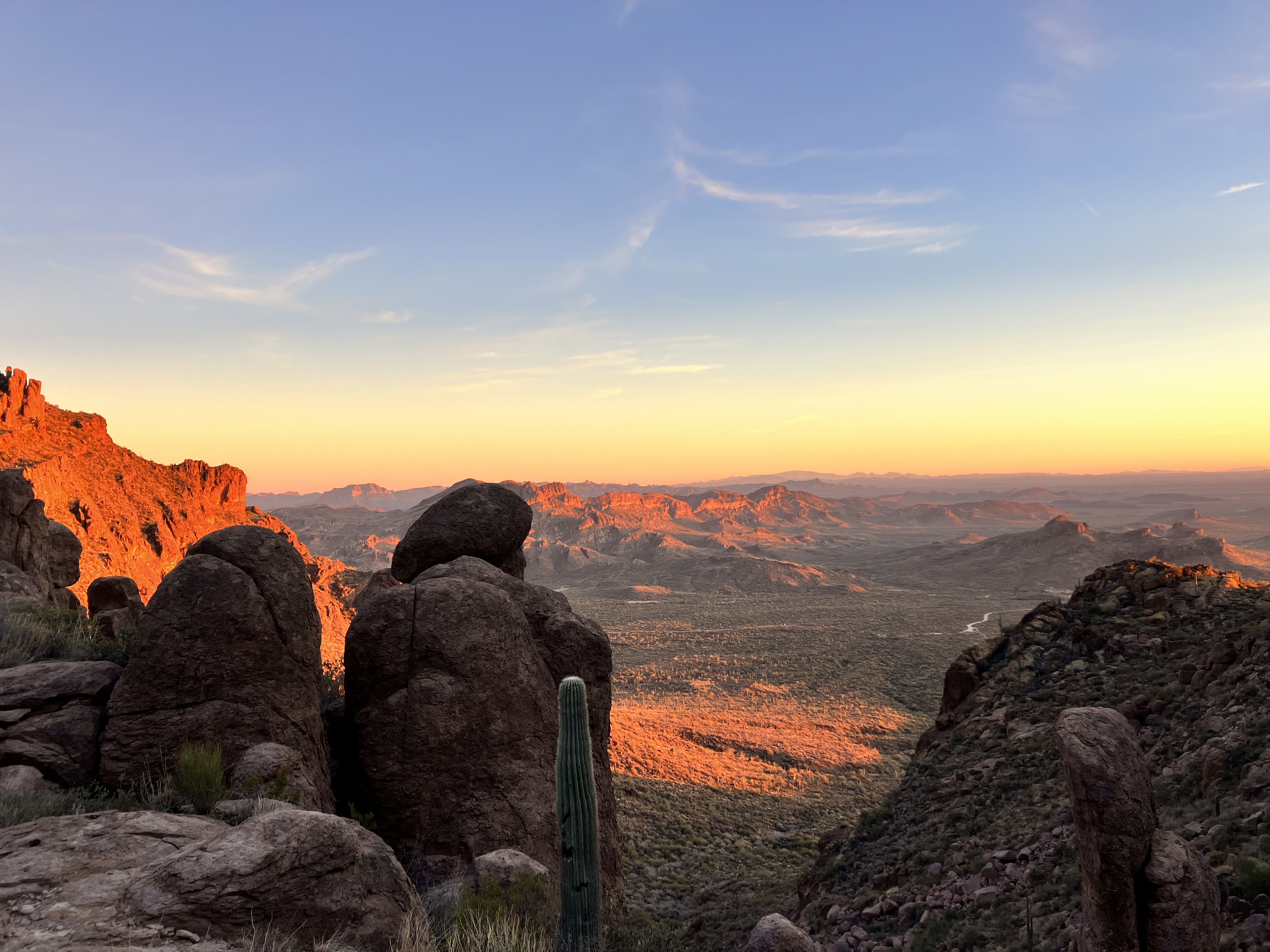
The temperature started out chilly, but we quickly warmed up as we started climbing up to the Flatiron. I found it hard not to take photos and was delighted by all the scenic photo opportunities. We were treated to gorgeous views everywhere we looked! When we reached the ridgeline, we saw snow and ice on some sections of trail. Some people chose to slide down those sections of trail on their rear ends because those parts were so slippery!


What I wore, used, and ate:
- puffy jacket with hood
- Smartwool base layer
- hiking pants, socks, shoes
- cycling windbreaker — I brought this and wore the vest for part of the day (the arms zip off).
- SaltStick electrolyte tablets
- ibuprofen
- headlamp
- poles
- mittens AND gloves
- sunglasses
- headband
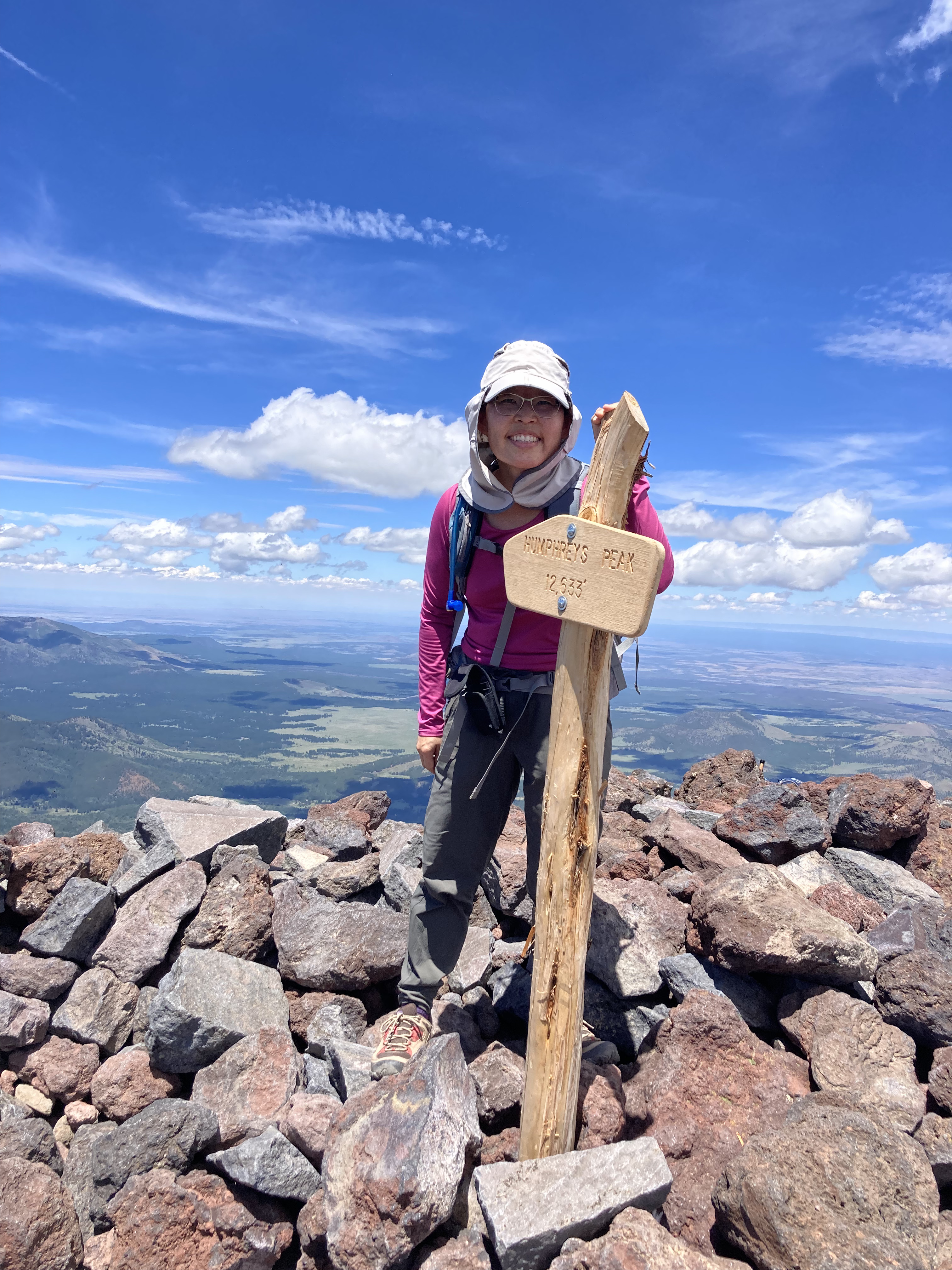
- sunhat
- sunscreen and lip balm
- basic first aid supplies (including tweezers)
- 3L of water (didn’t finish)
- Half a burrito from the previous night’s dinner
- a peanut butter and jelly sandwich
- a half dozen snacks (Skratch Lab chews, fig bars, Kate’s Real Food bar)
I did not bring too much of anything! However, the weather was really great, which helped. I’m looking forward to my next Ridgeline hike!