“Grazie per avermi fatto il bucato!”**

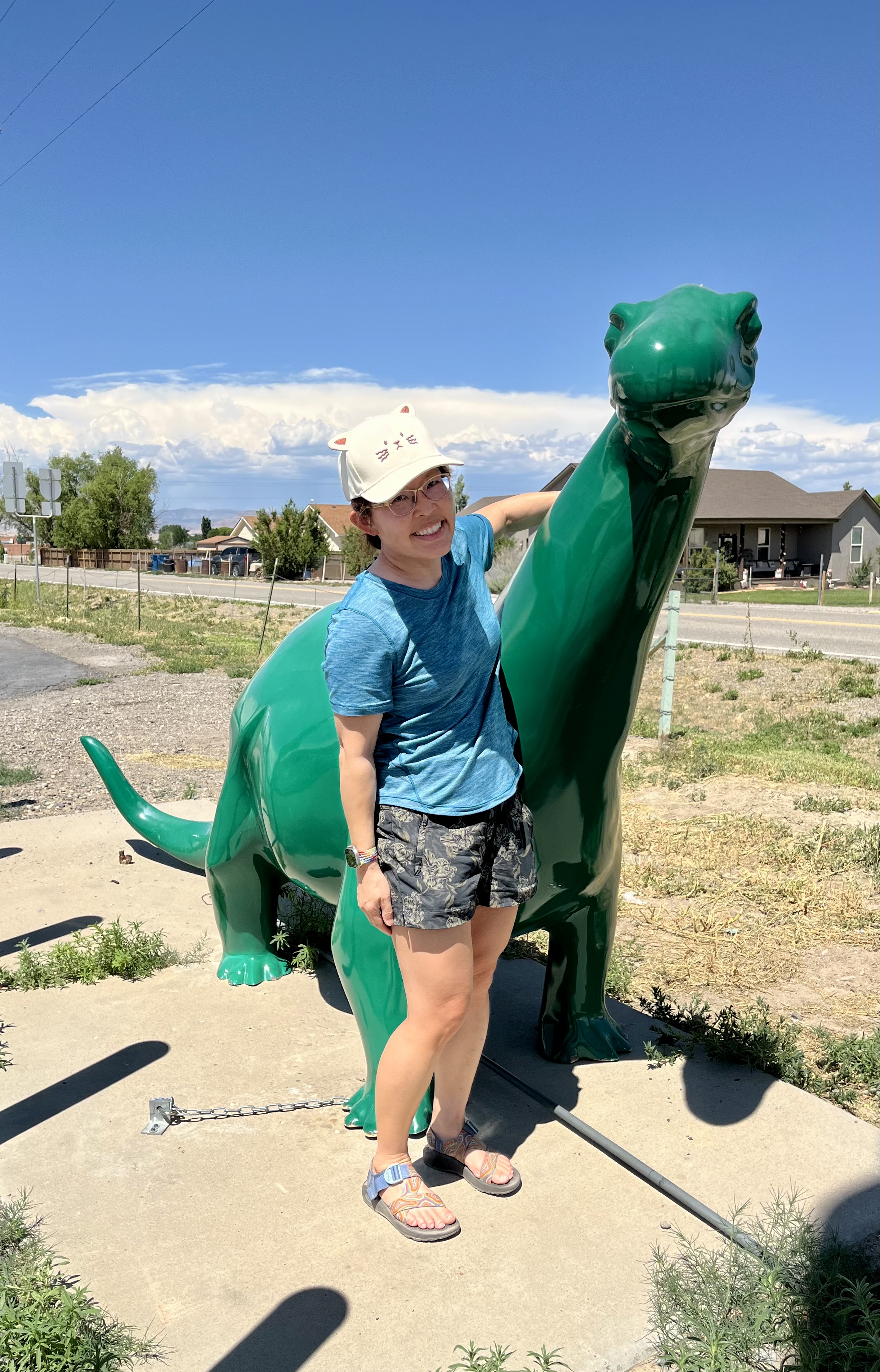
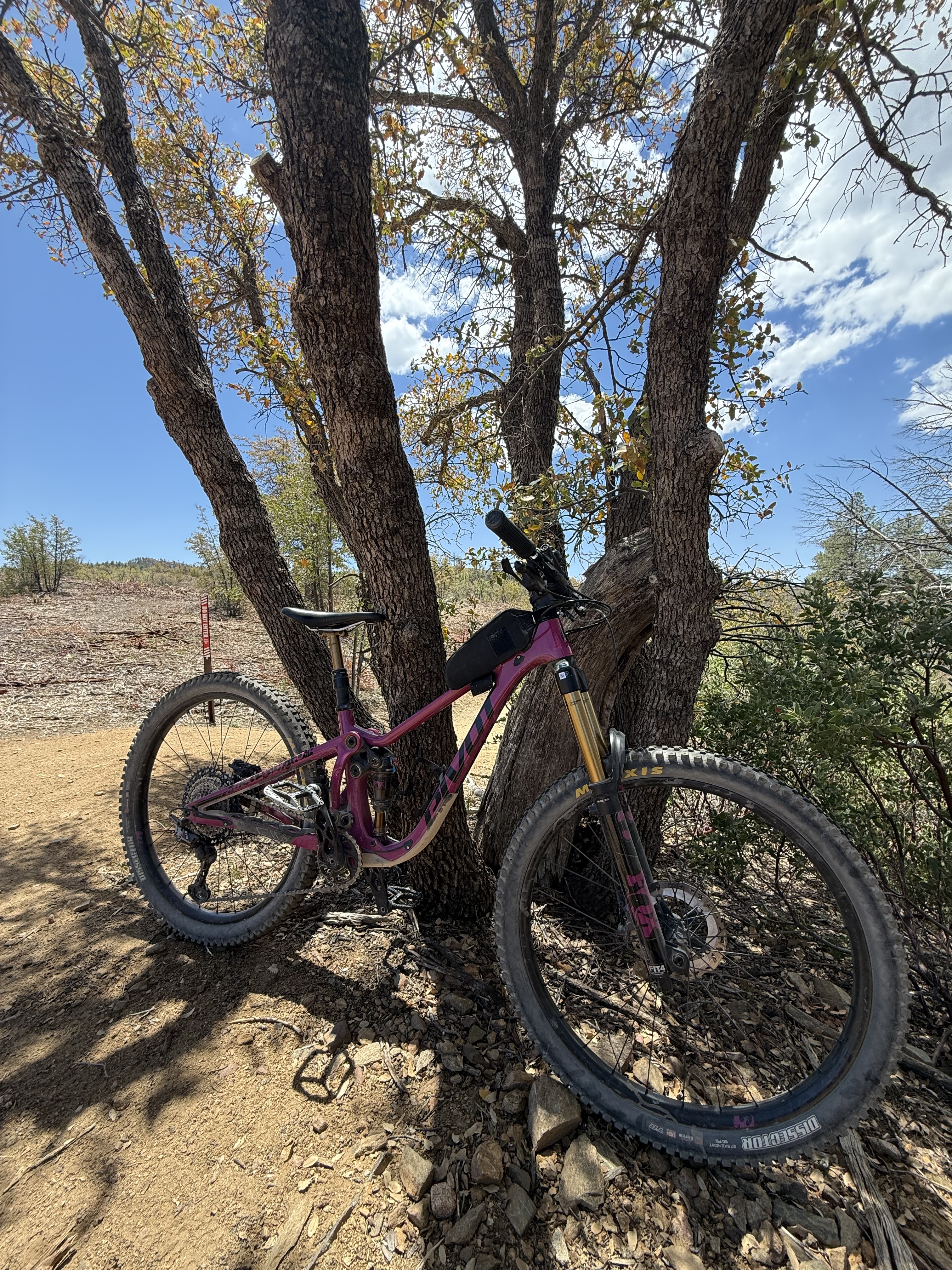
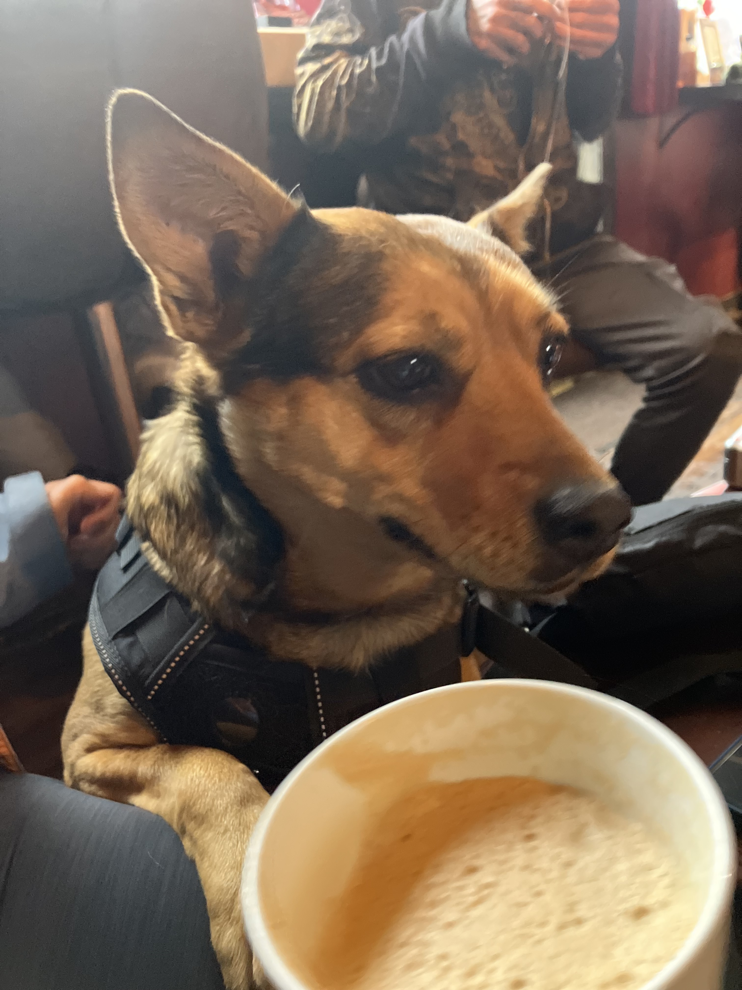
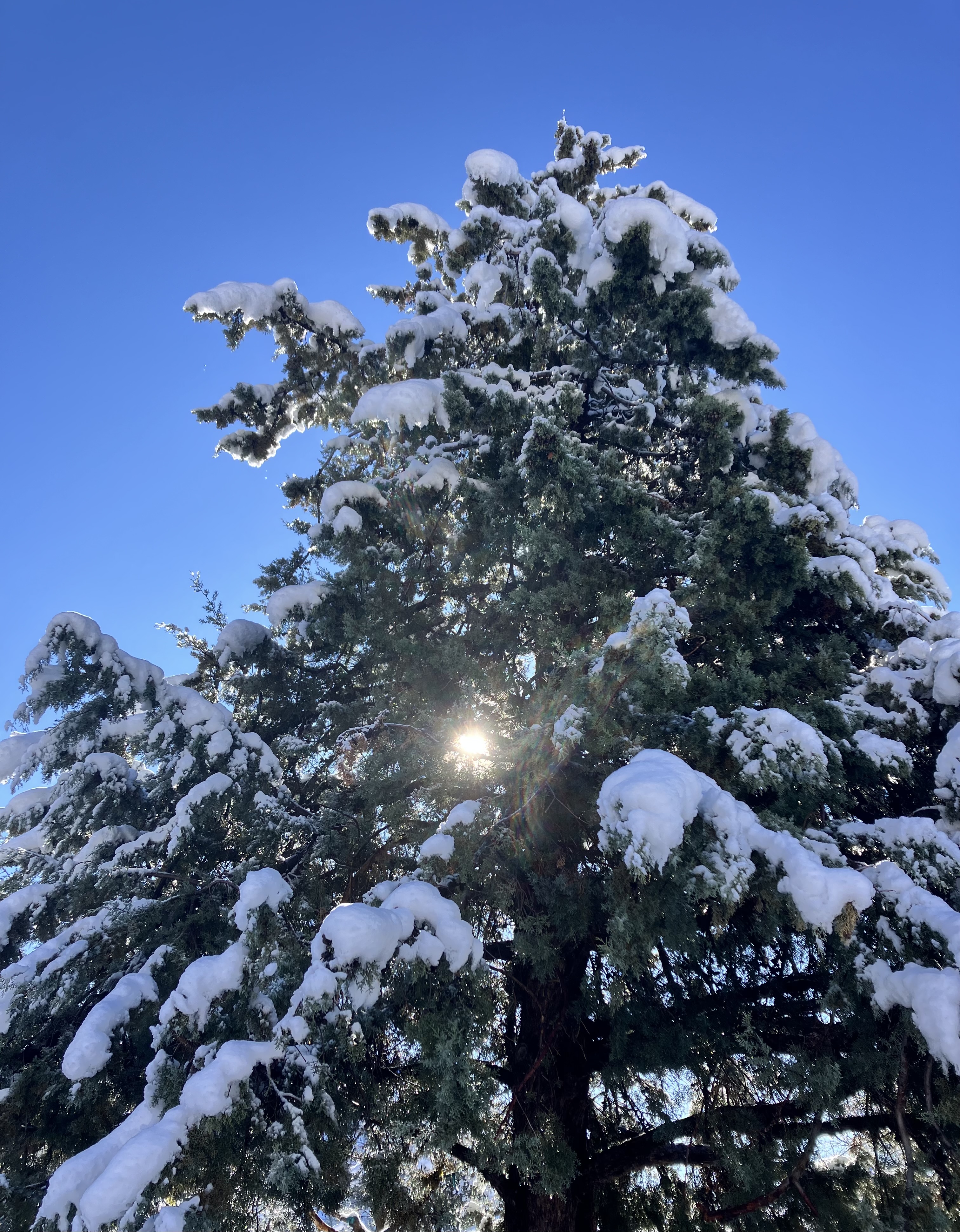
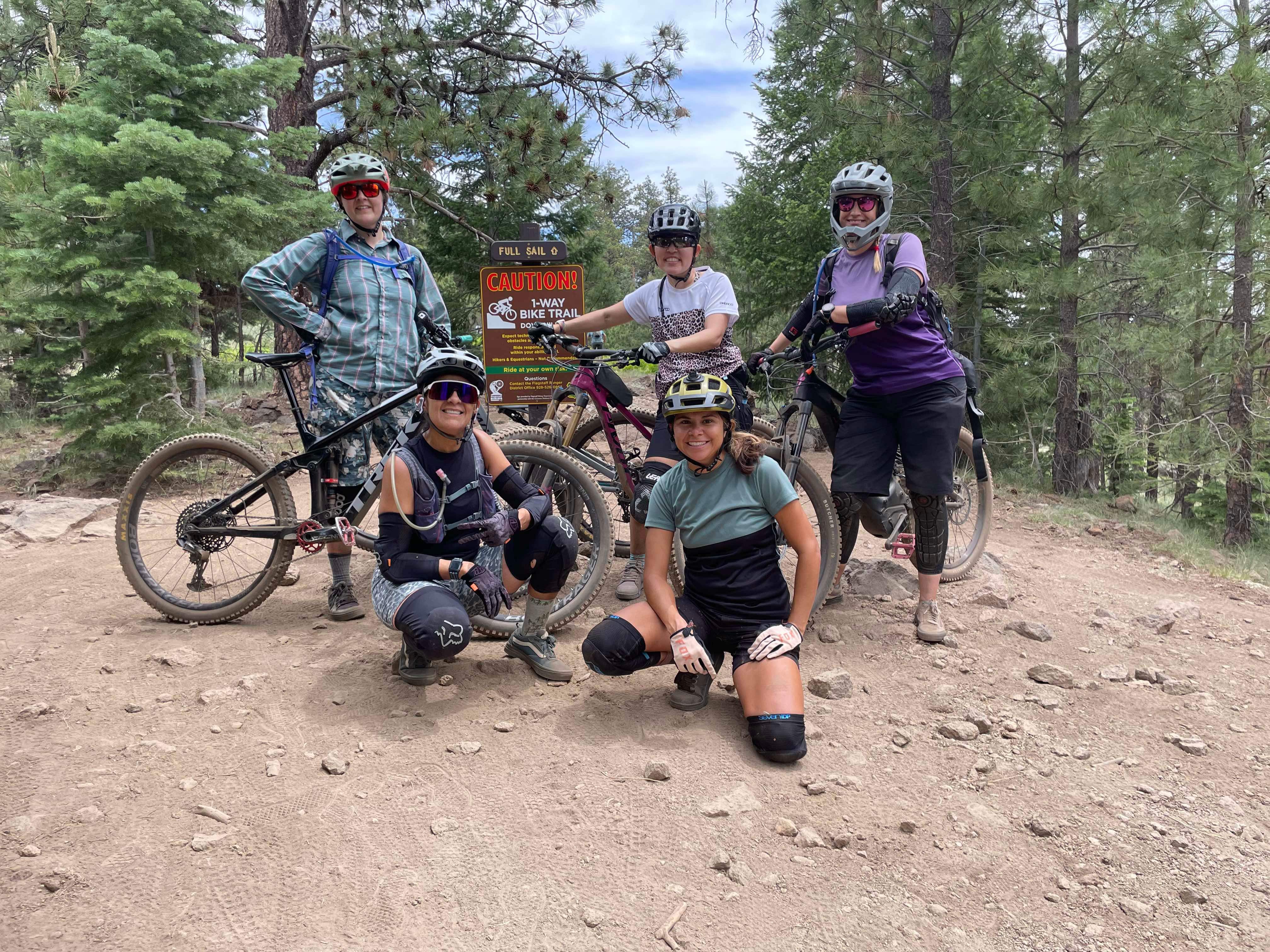
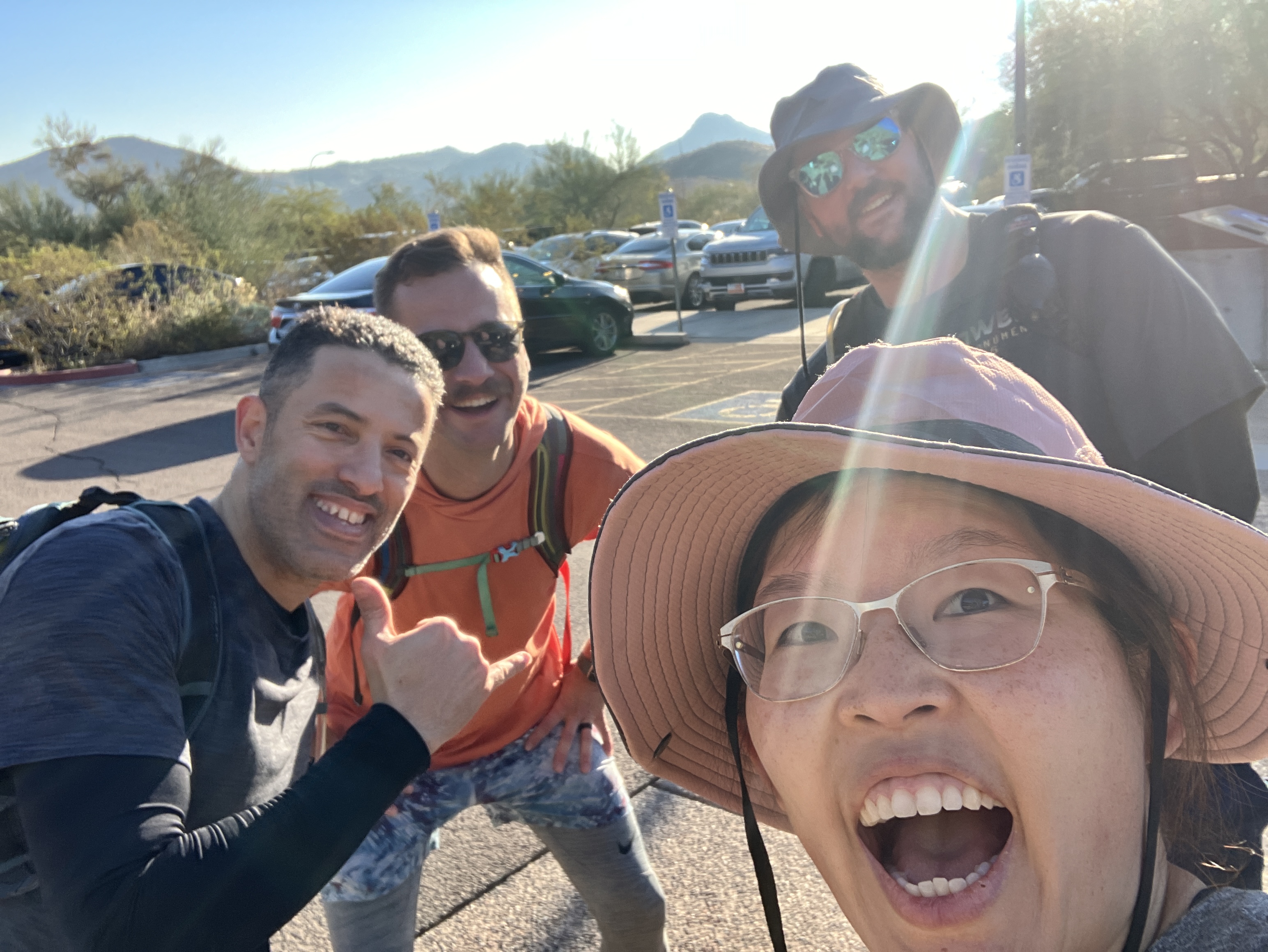
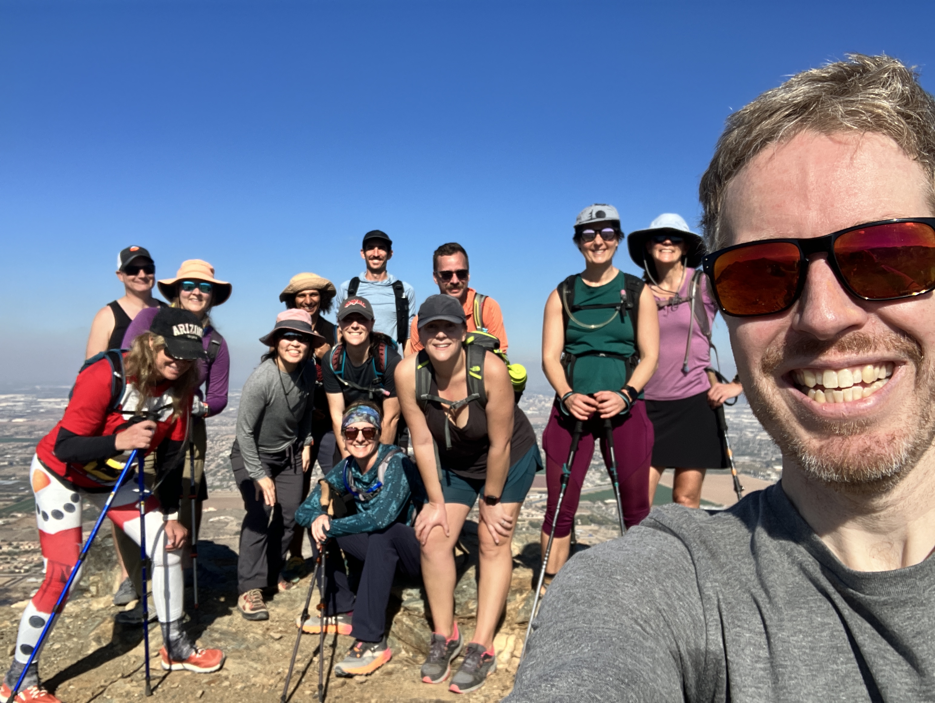
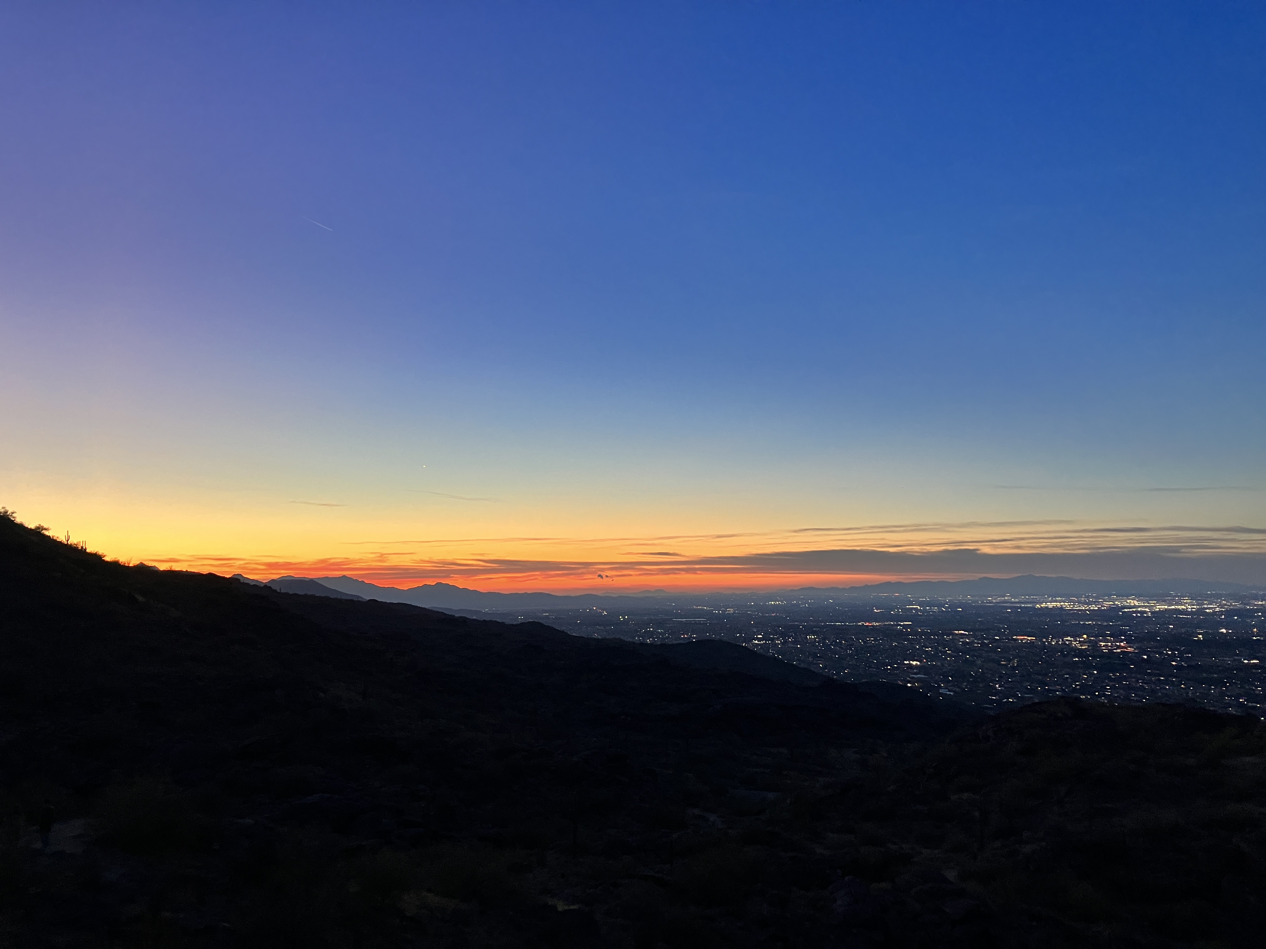
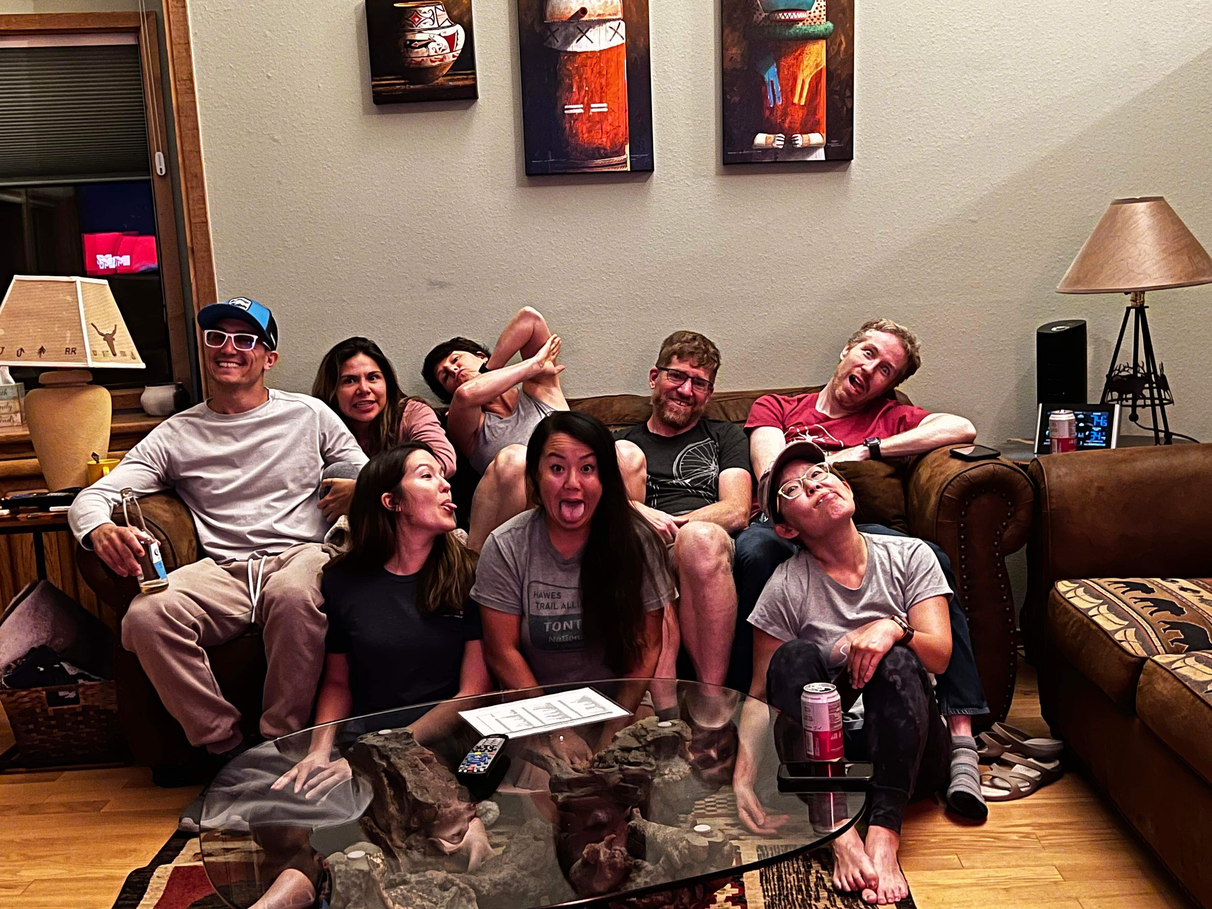
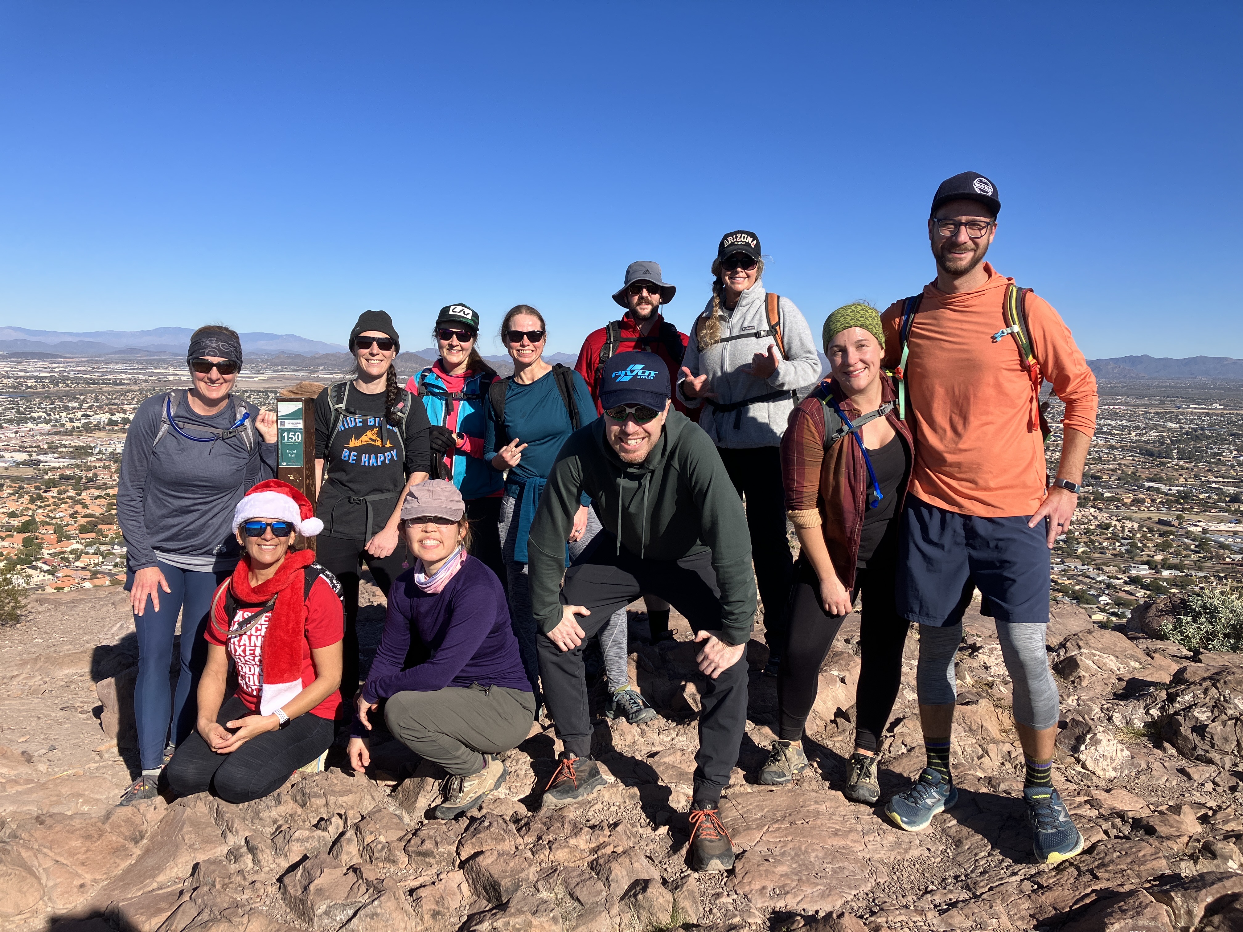
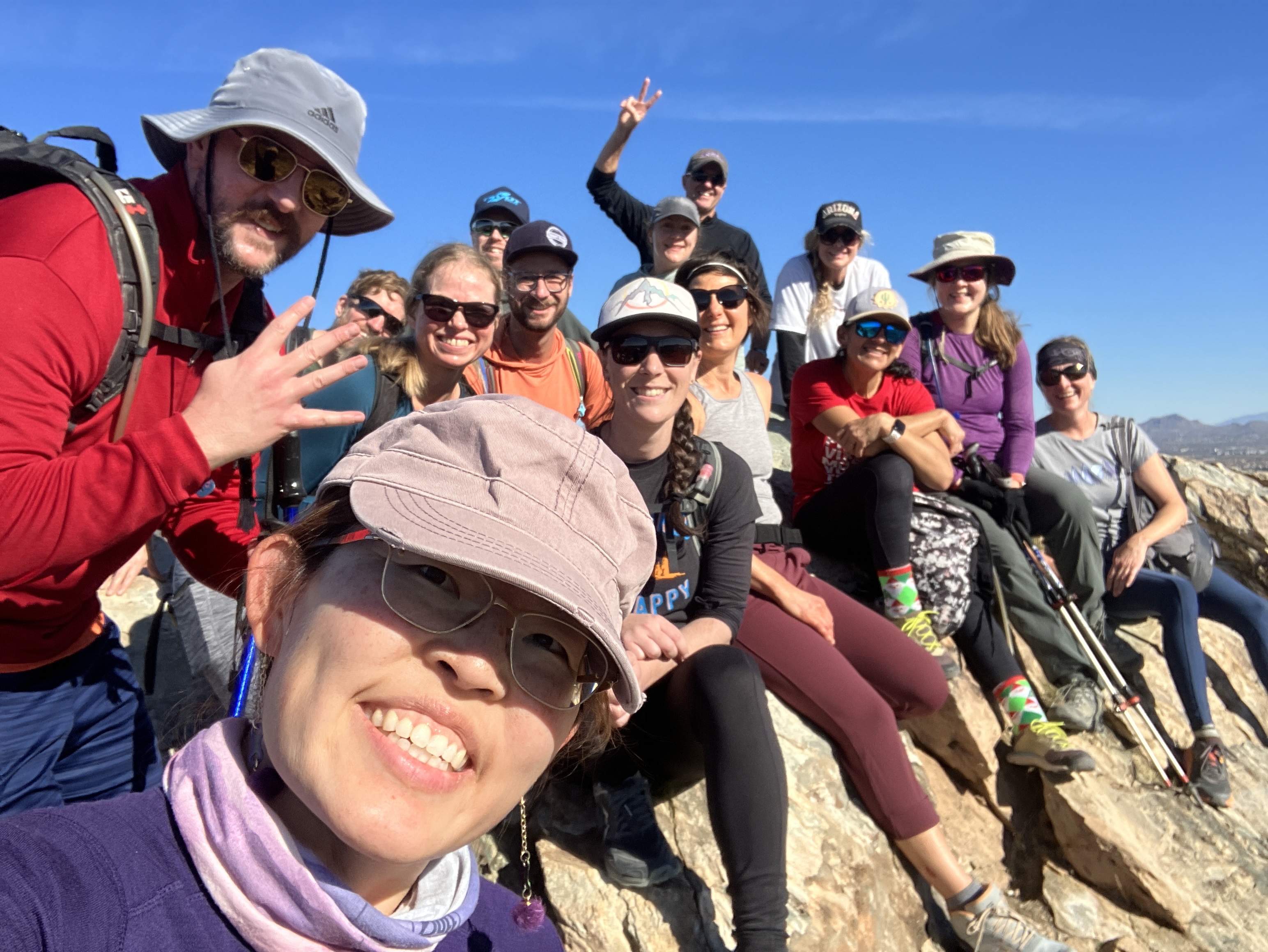
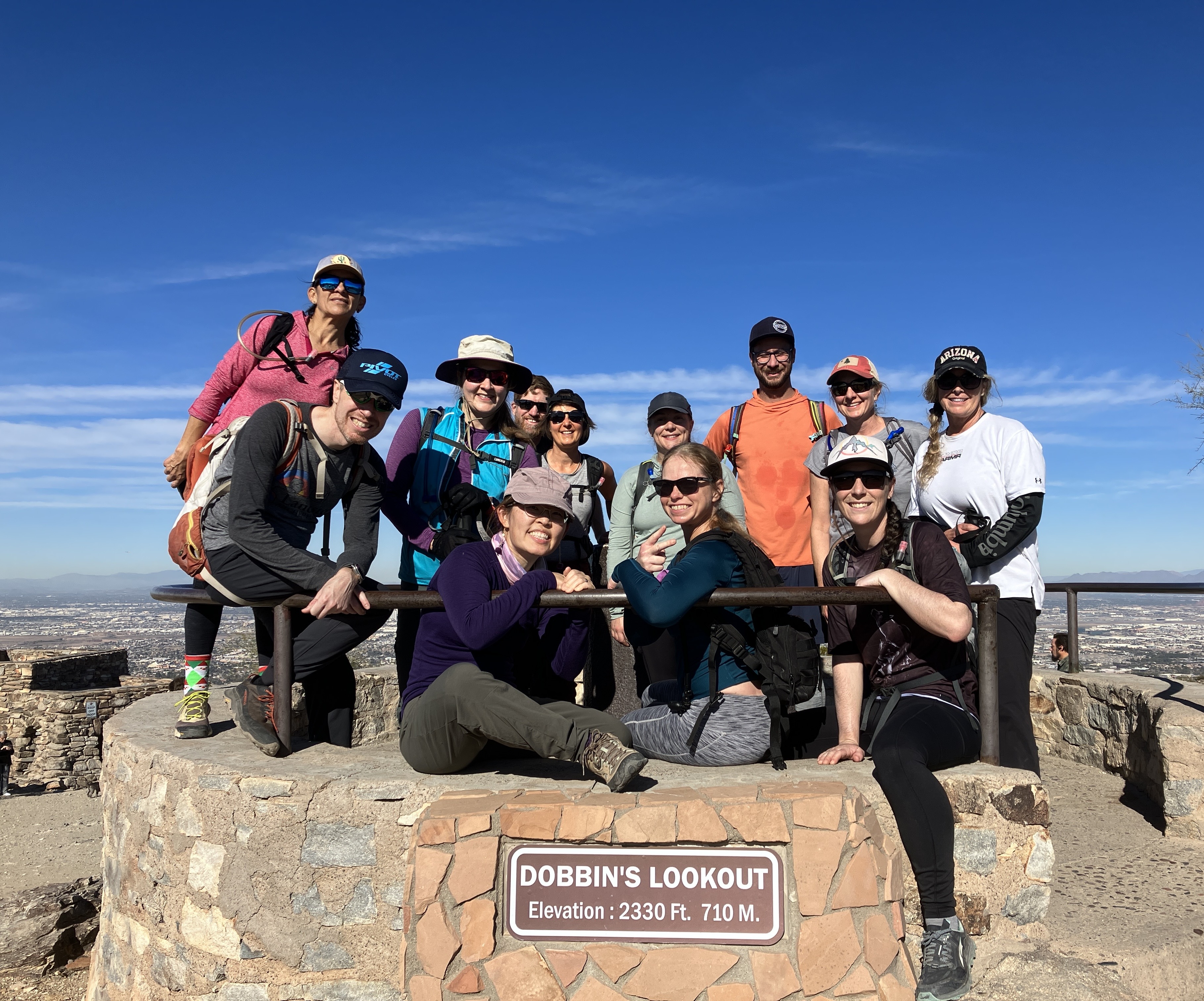
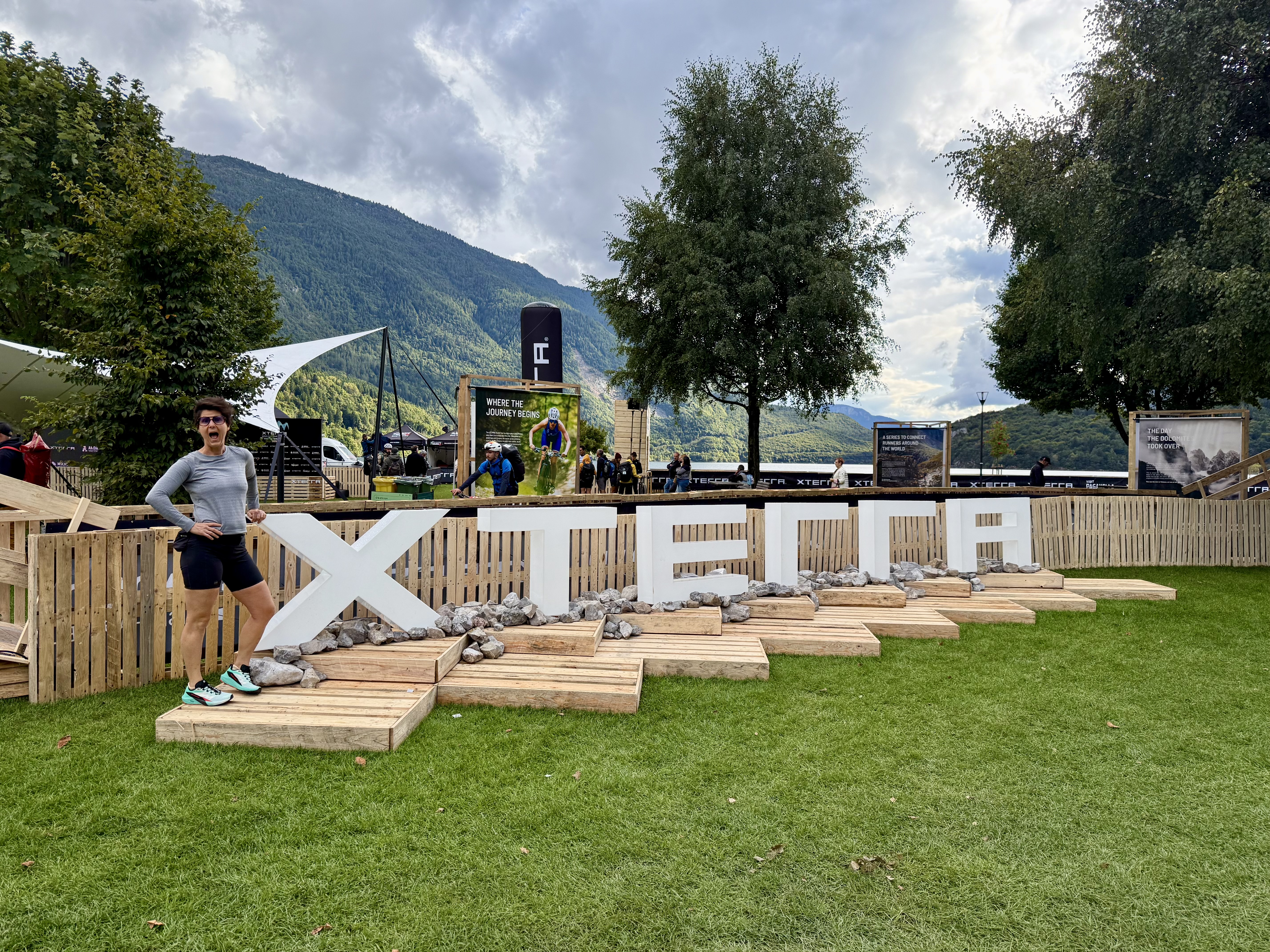
Hello, dear readers and Merry Christmas! I hope you are well and enjoying all kinds of adventures wherever you are. I meant to update my blog much sooner, but like most good intentions, they did not come to fruition. However, here we are. This update will be another lengthy one because I will be recapping my Italy trip! That's right, I had the good fortune and timing to be in Italy for the last week of September to serve as emotional support and "hype girl" for my friends who were competing in the XTERRA off-road World Championship triathlon in Molveno, Italy. The triathlon consisted of a 1.5 km (almost 1 mile) swim, a 32 km (20 mile) mountain bike ride, and a 10 km (6 mile) run. 

My overall summary of the trip? Beautiful! But I have more to share than THAT, so bear with me, because this update is L O N G. I decided to structure this update chronologically and will include lots of pictures! Here we go...

Tuesday September 23

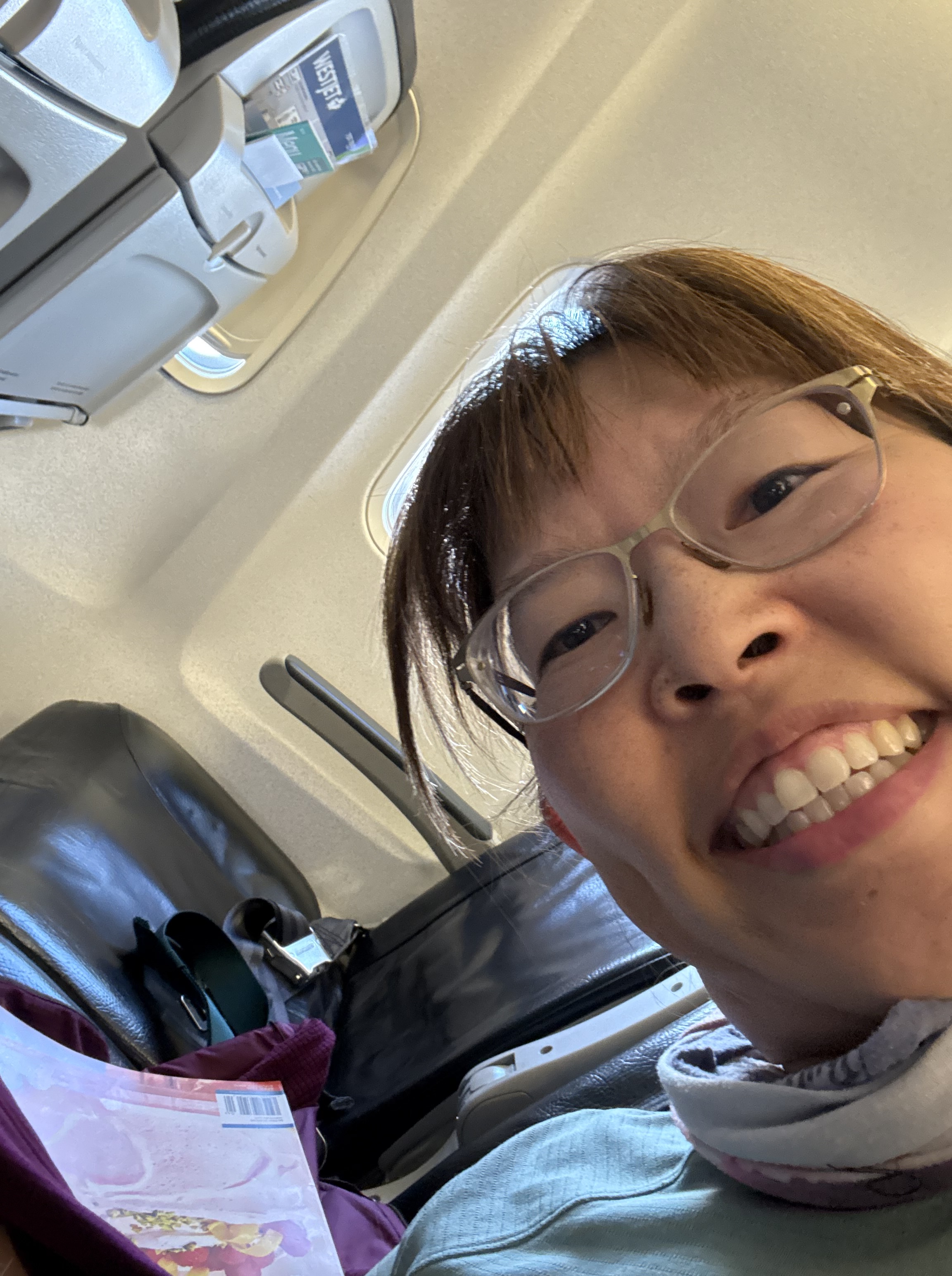
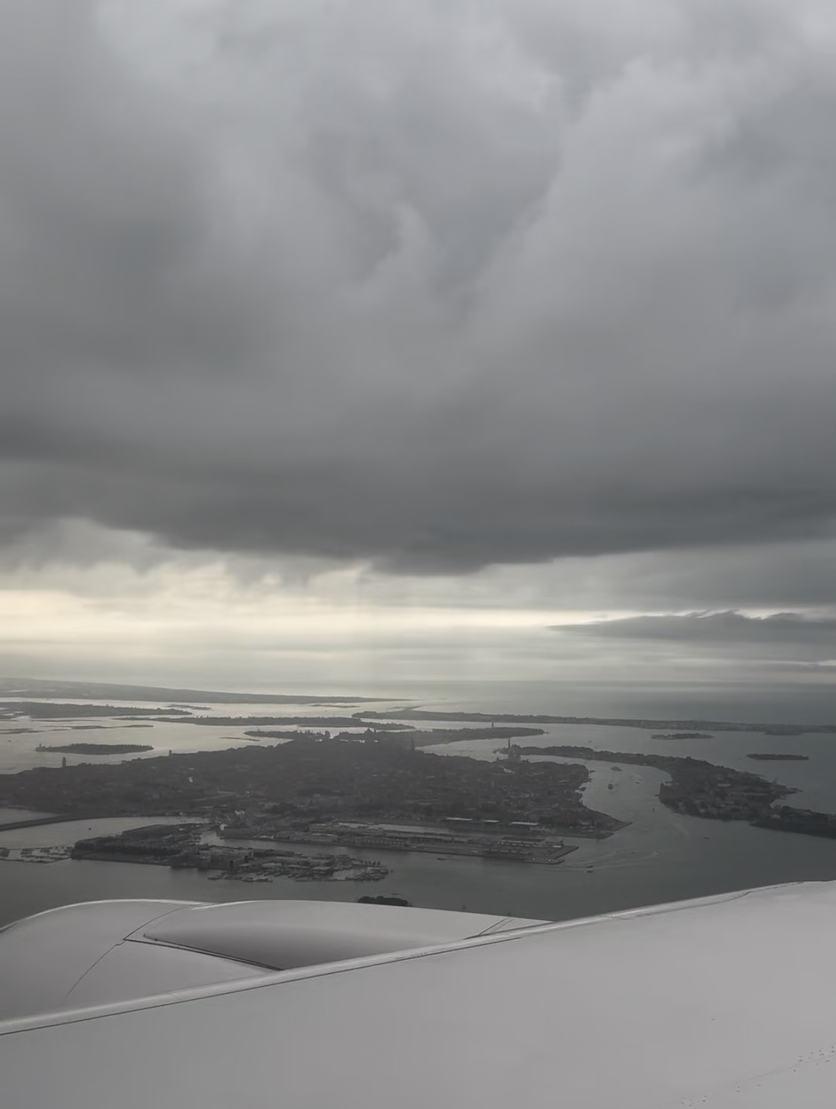
This was a travel day. I got through security in Phoenix in 10 minutes! The first part of my journey to Italy was from PHX to Newark, NJ. This flight was not full and as a result, the middle seat in my row was empty! That was like getting a seat upgrade, haha. After landing in Newark, I took the shuttle to my terminal and boarded my second flight of the day to Venice. I planned on sleeping as much as I could because I wanted to make the most of my short time in Venice. Side note: my airplane dinner wasn't too bad! A beef pot roast, mashed potatoes, and green beans.

Wednesday September 24, 2025

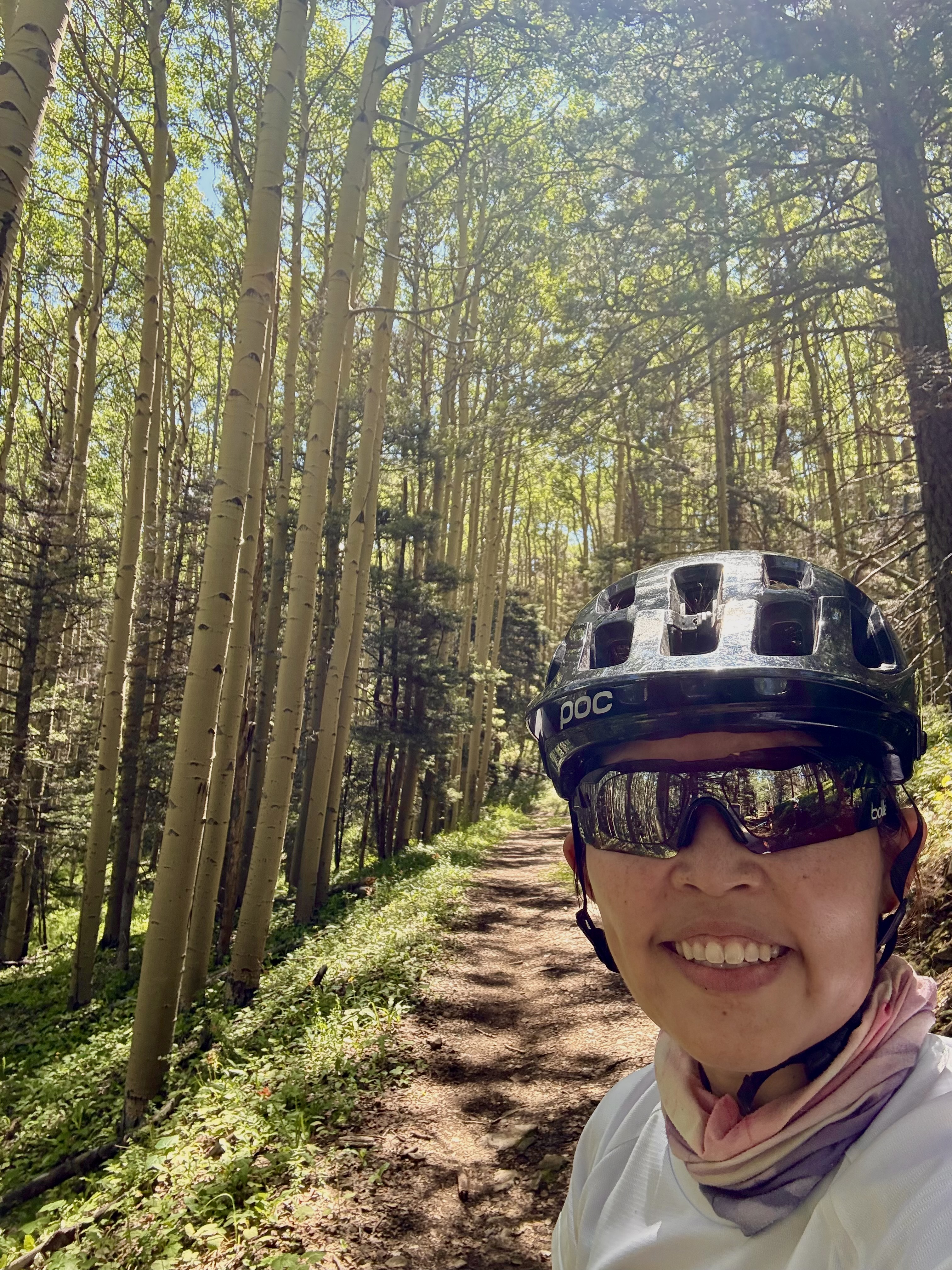
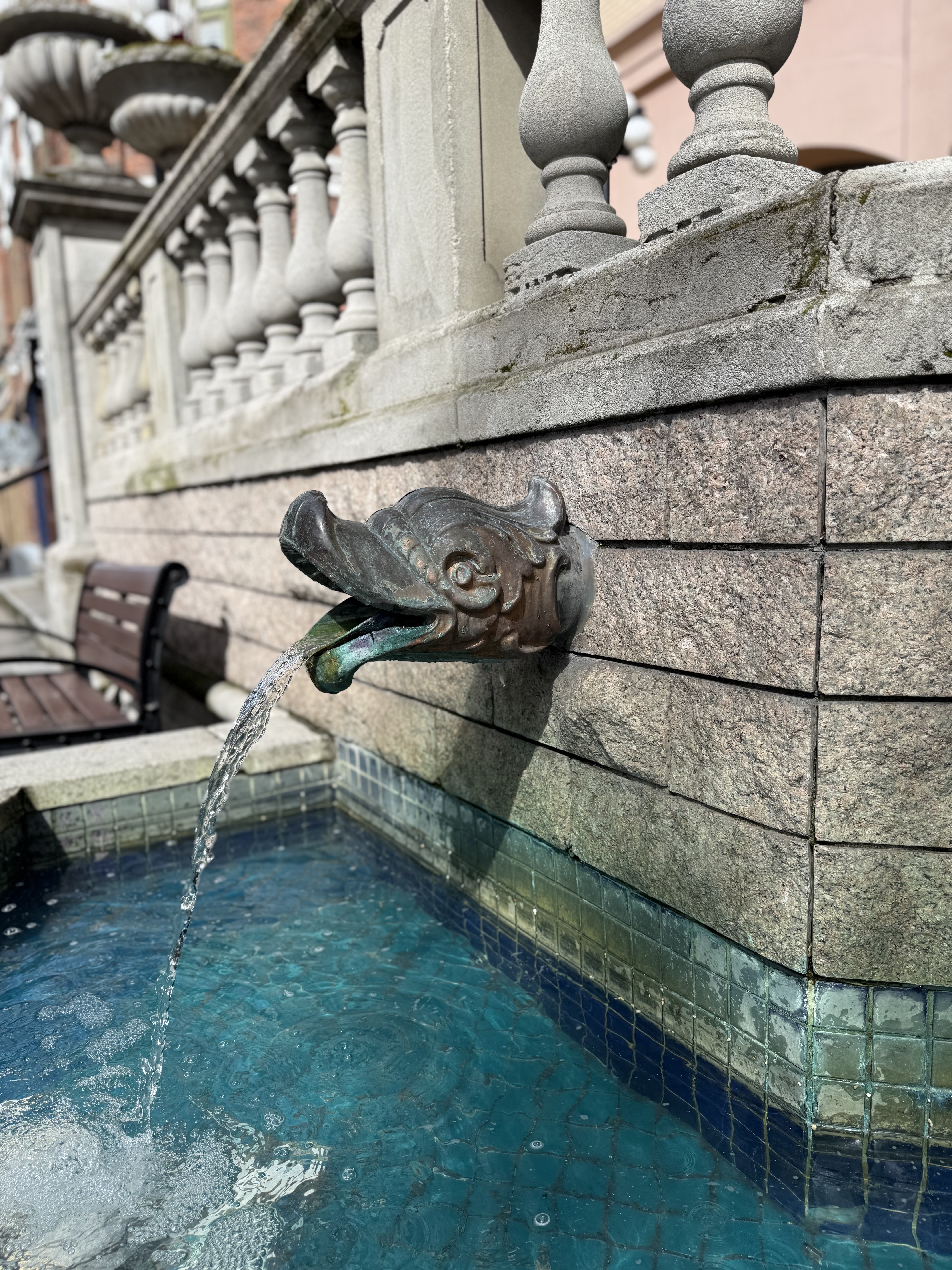
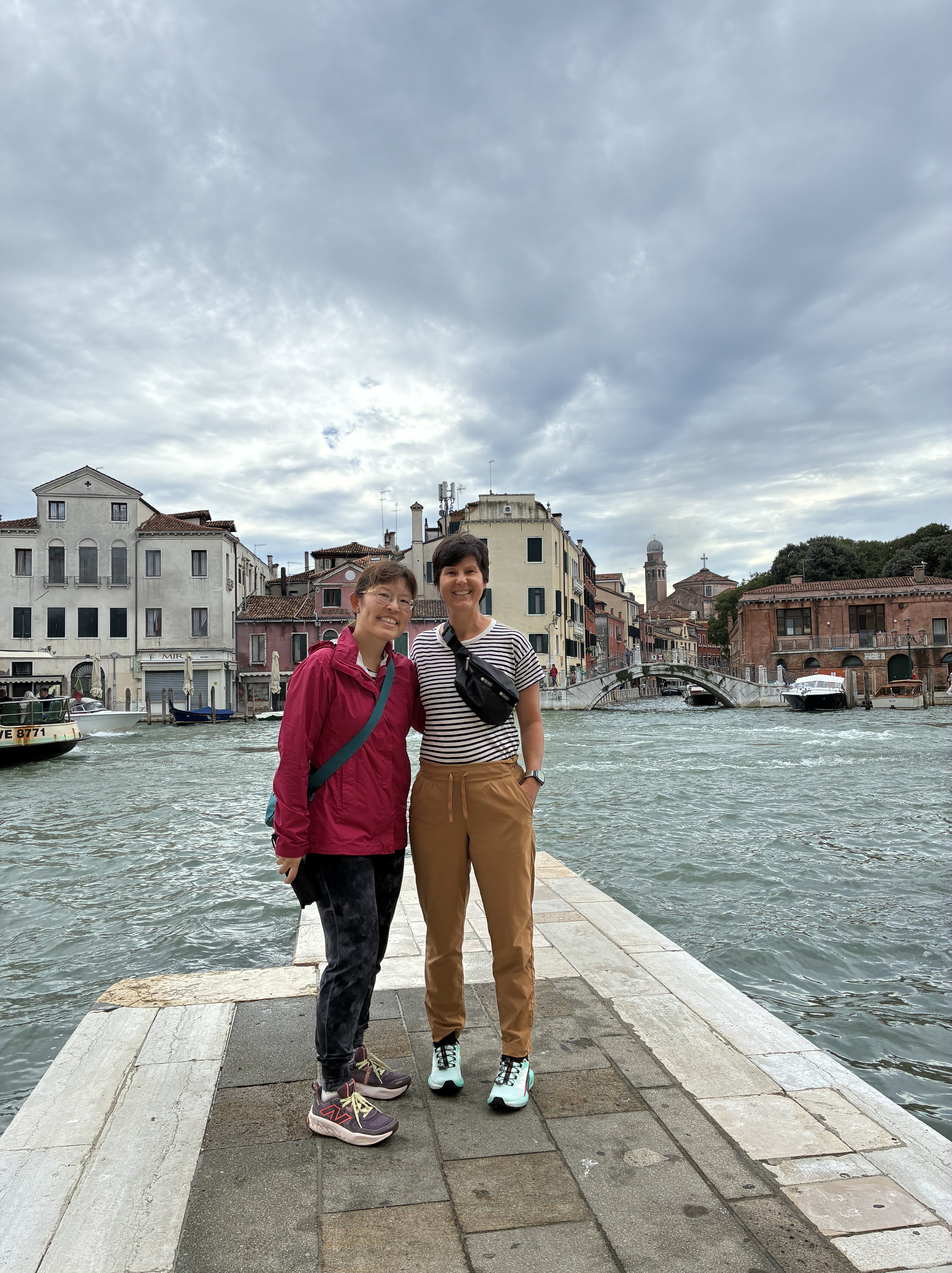
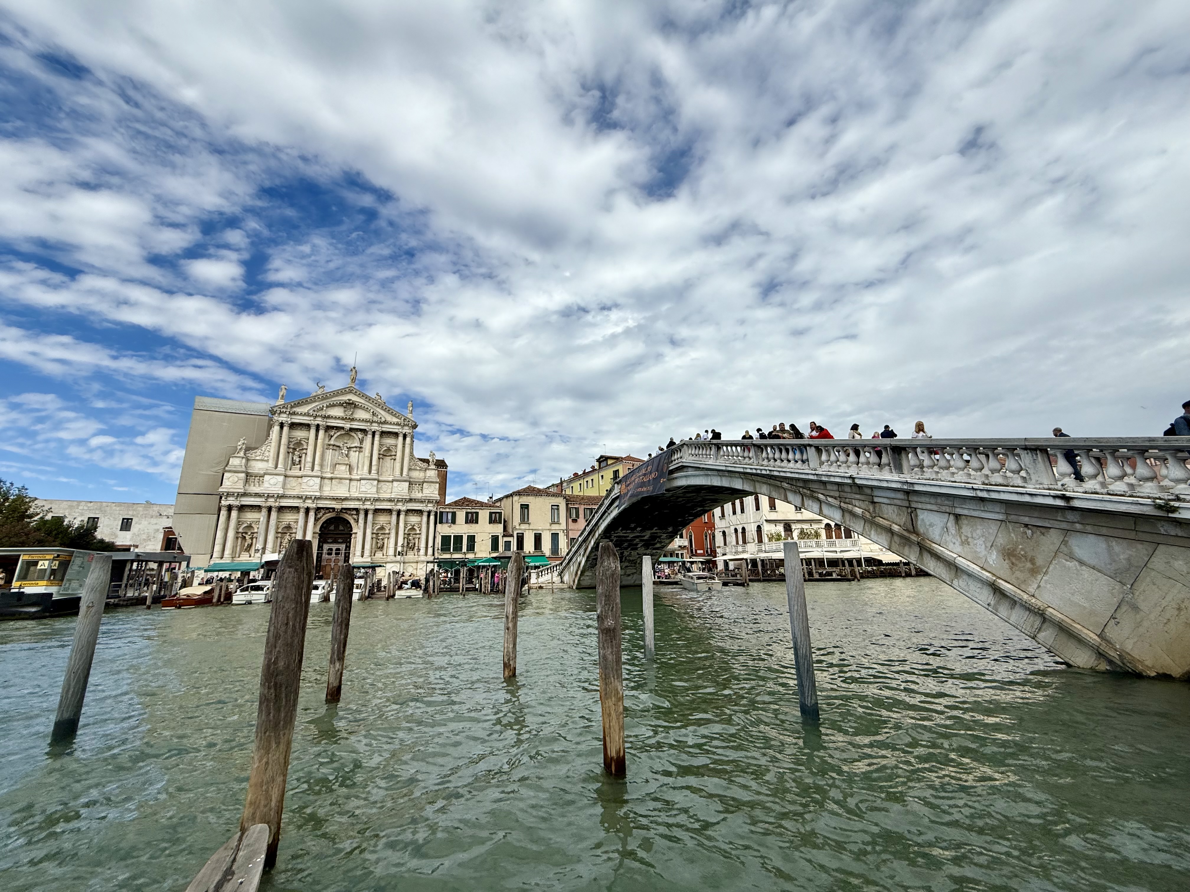
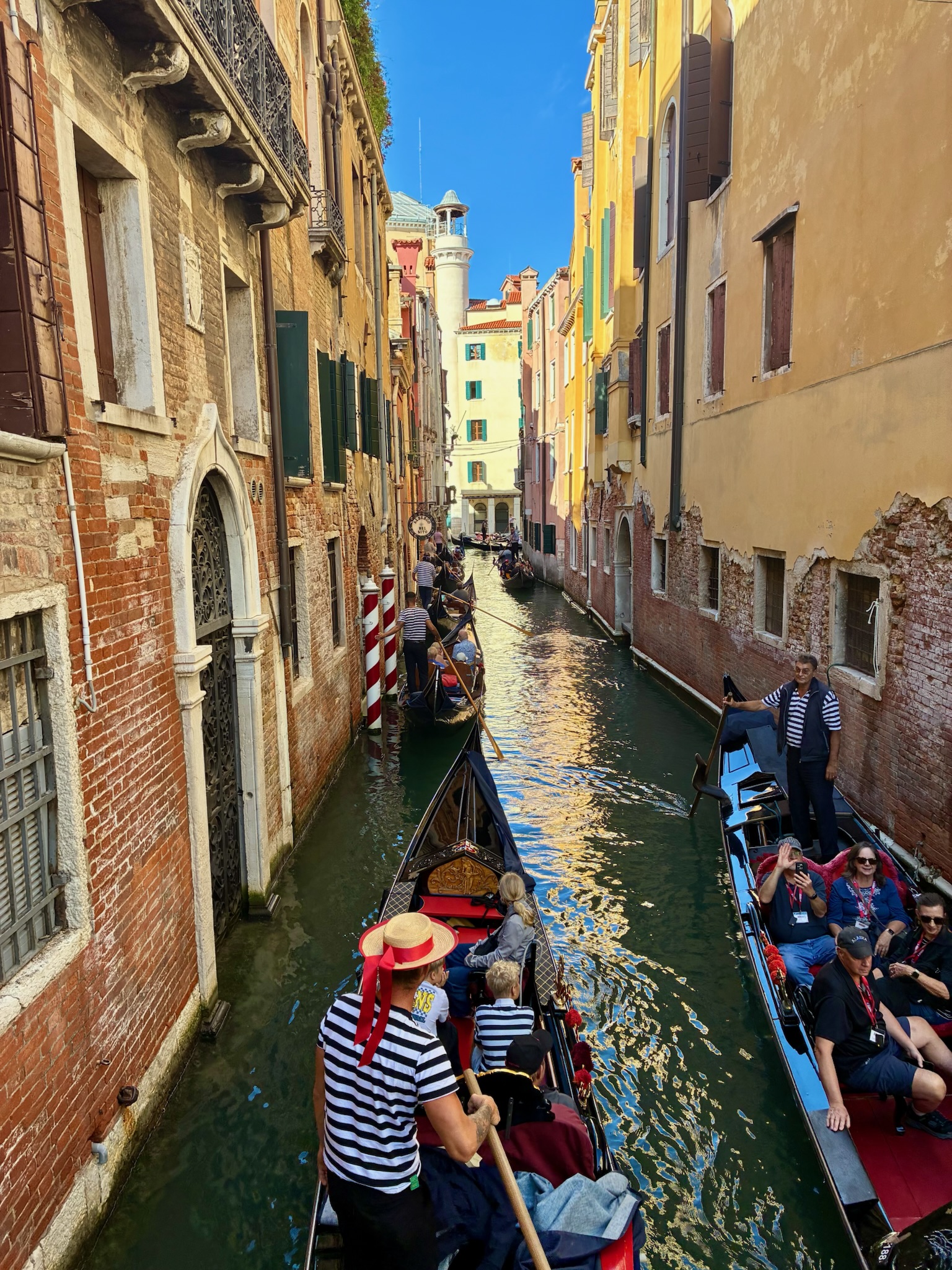
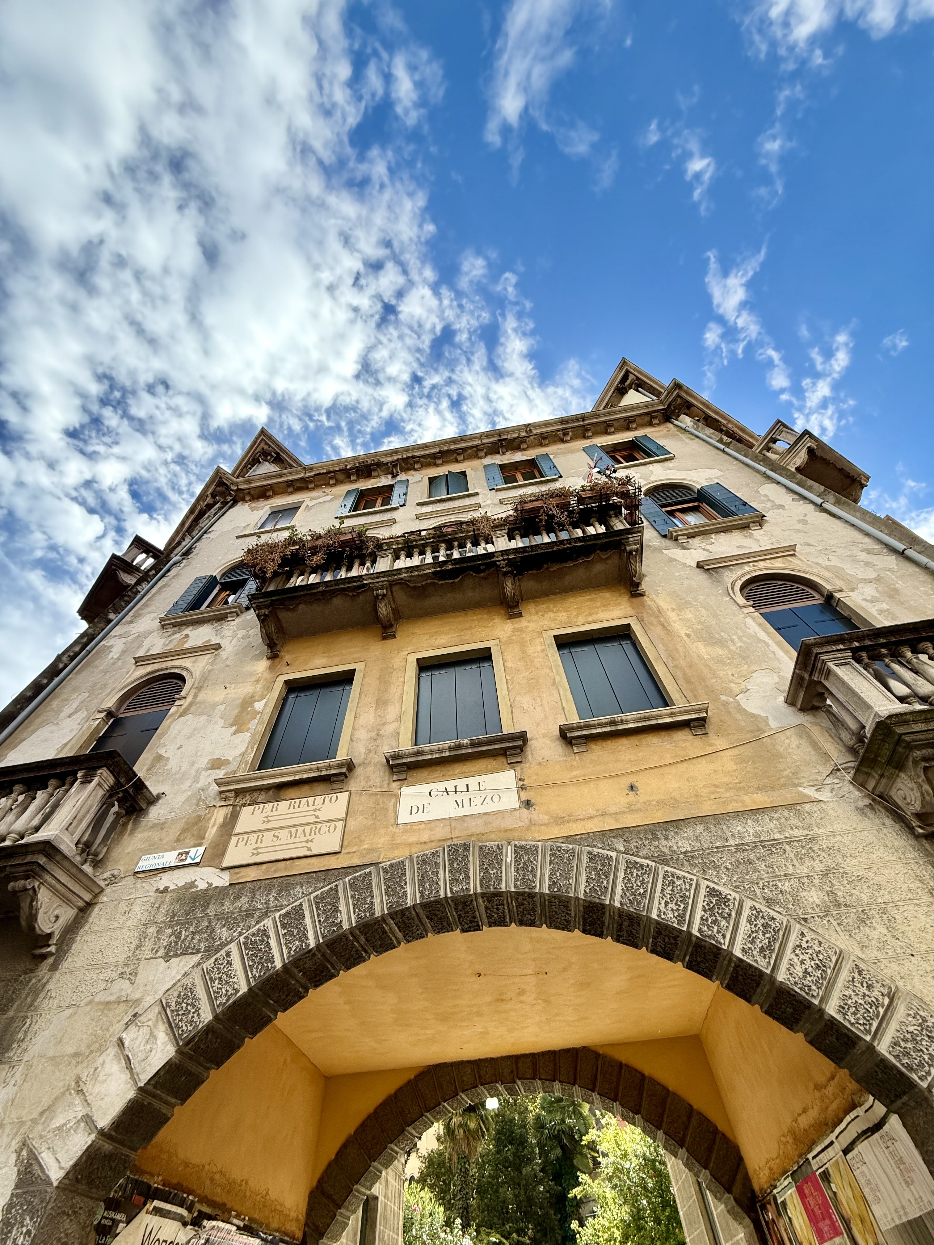
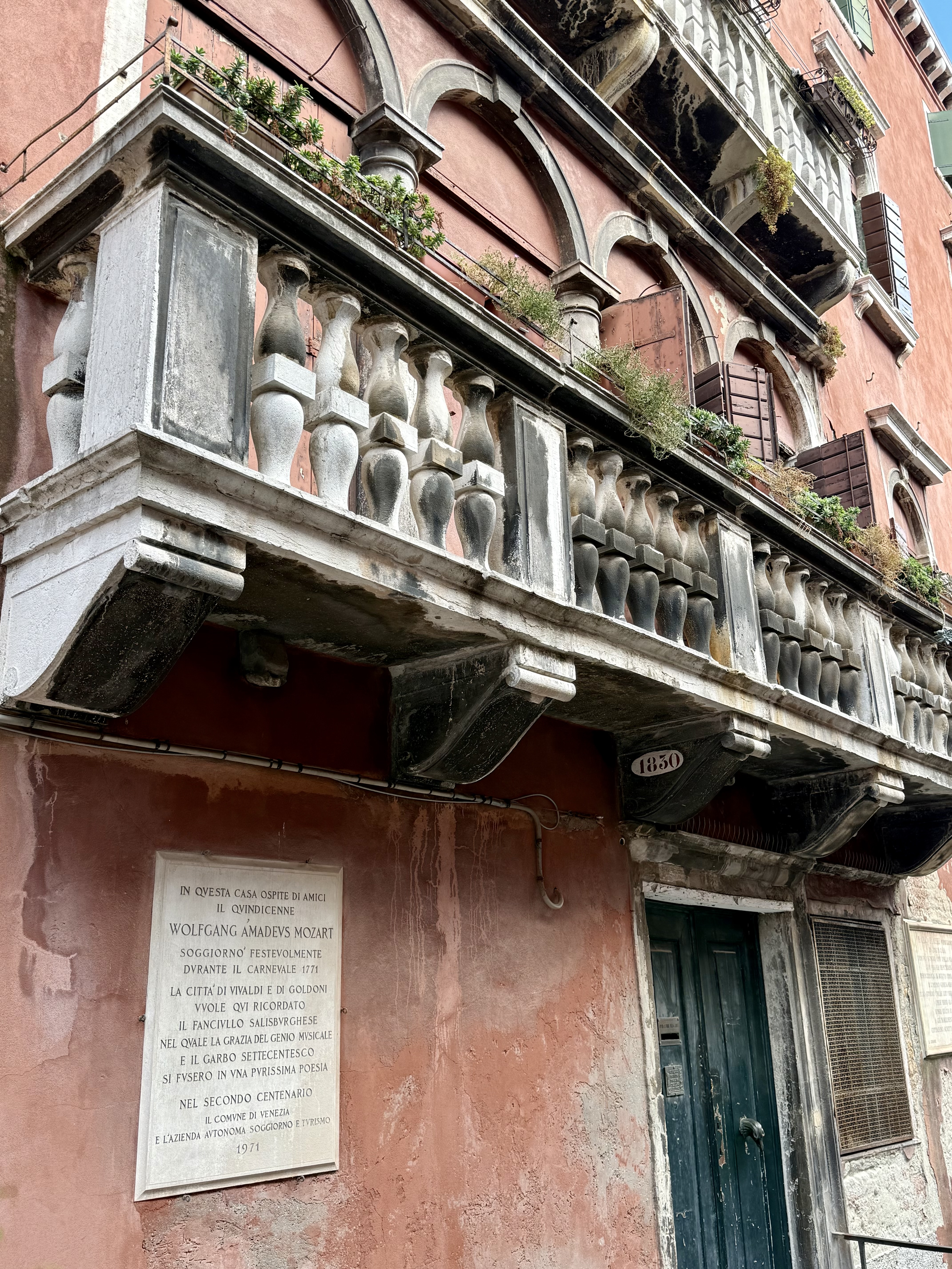
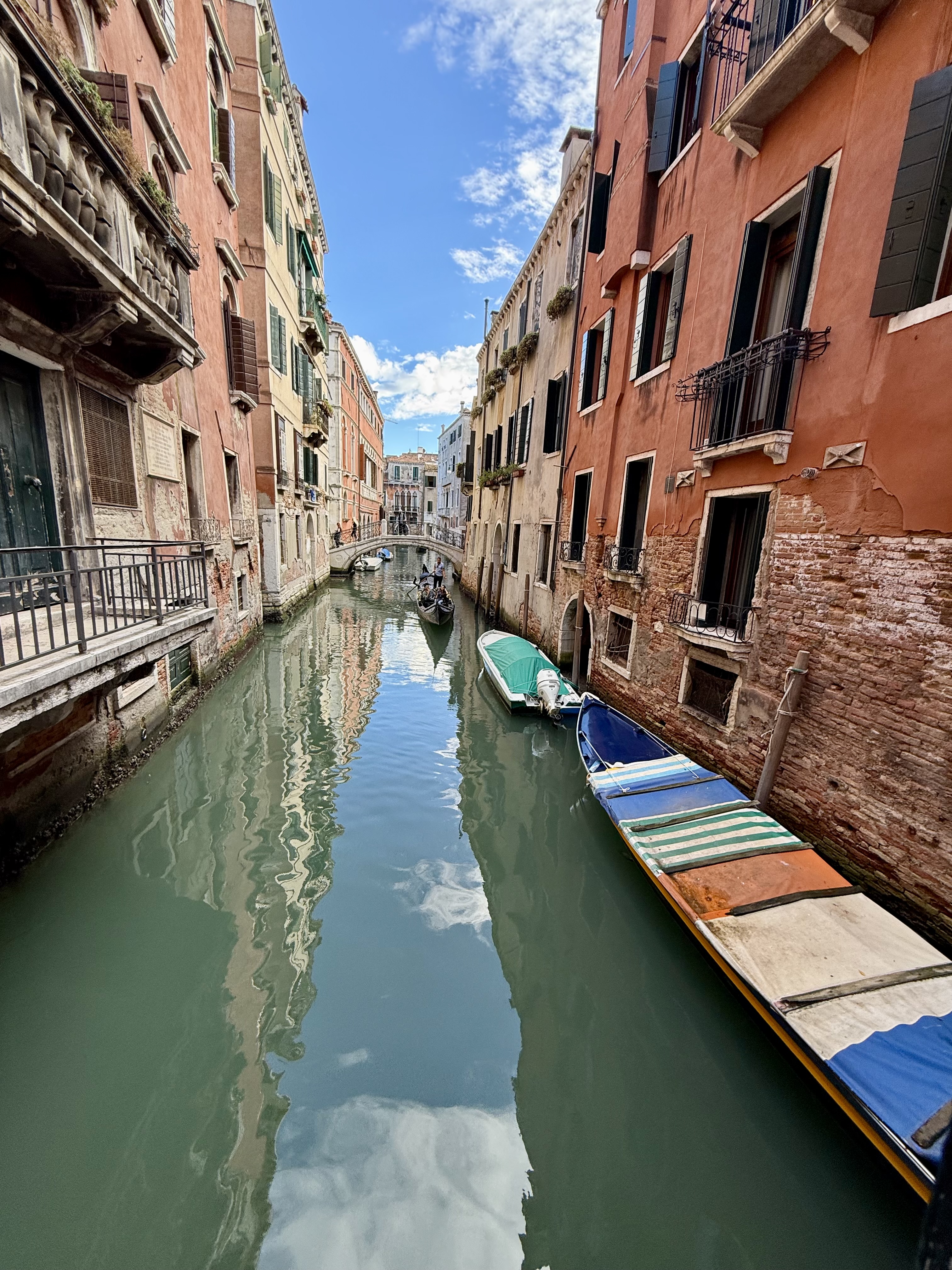
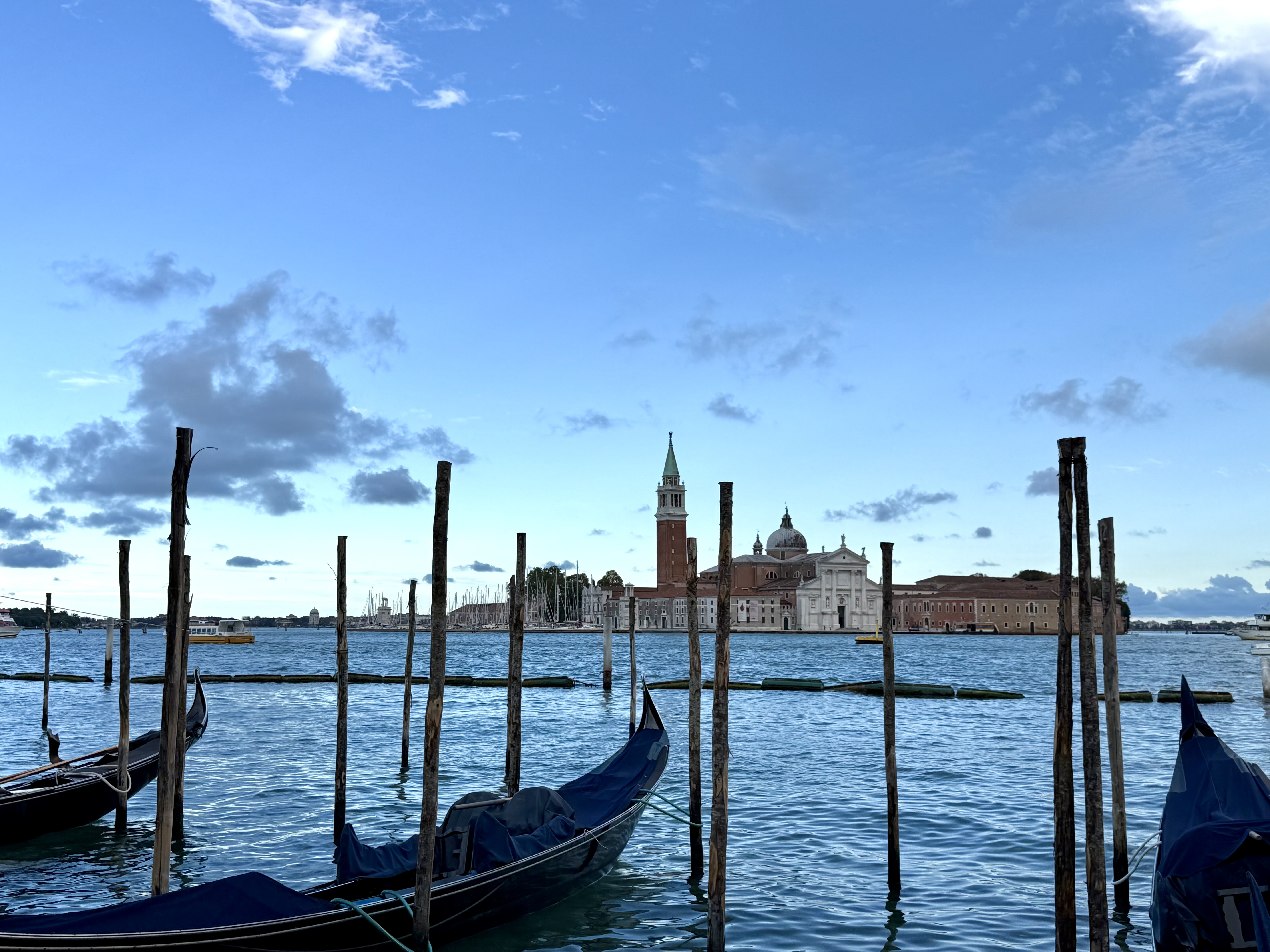
After landing in Venice and going through passport control, I meet my friend Vanessa. She rented a cute teal Audi 🙂 She said she had to find a replacement strap for her backpack and wanted to go to a shop nearby….which meant that the first thing I did in Italy was go to an outlet mall! Haha! After that errand was done, we parked the car in a 24 hour parking lot then took the bus to the main island, i.e., the part of Venice that everyone knows from movies and television. We got off the bus at the main terminal and started walking around. I felt like my mouth was open much of the time because everything around me was so beautiful. So many historic buildings and gondolas! We made our way to our Airbnb, checked in, then my body told me it was nap time. Vanessa went out for more sightseeing while I enjoyed a much-needed nap. Upon her return, we walked over to the Chiesa della Pietà for a Vivaldi concert. That was extremely gratifying for a music nerd like me; listening to Vivaldi’s “Four Seasons” in the church he worked in was pretty amazing. The concert was a lovely way to end my first day in Italy.

Thursday September 25, 2025

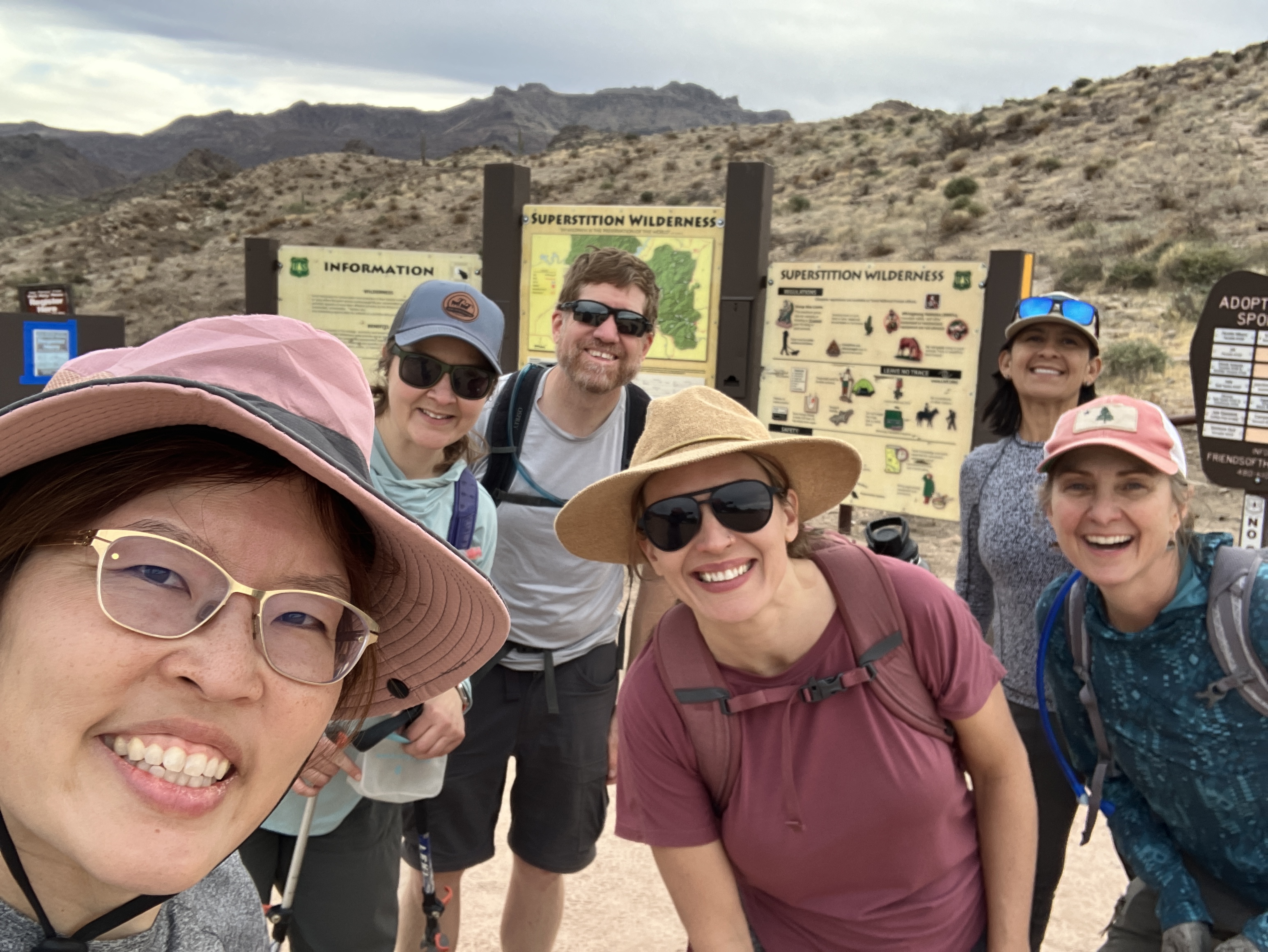
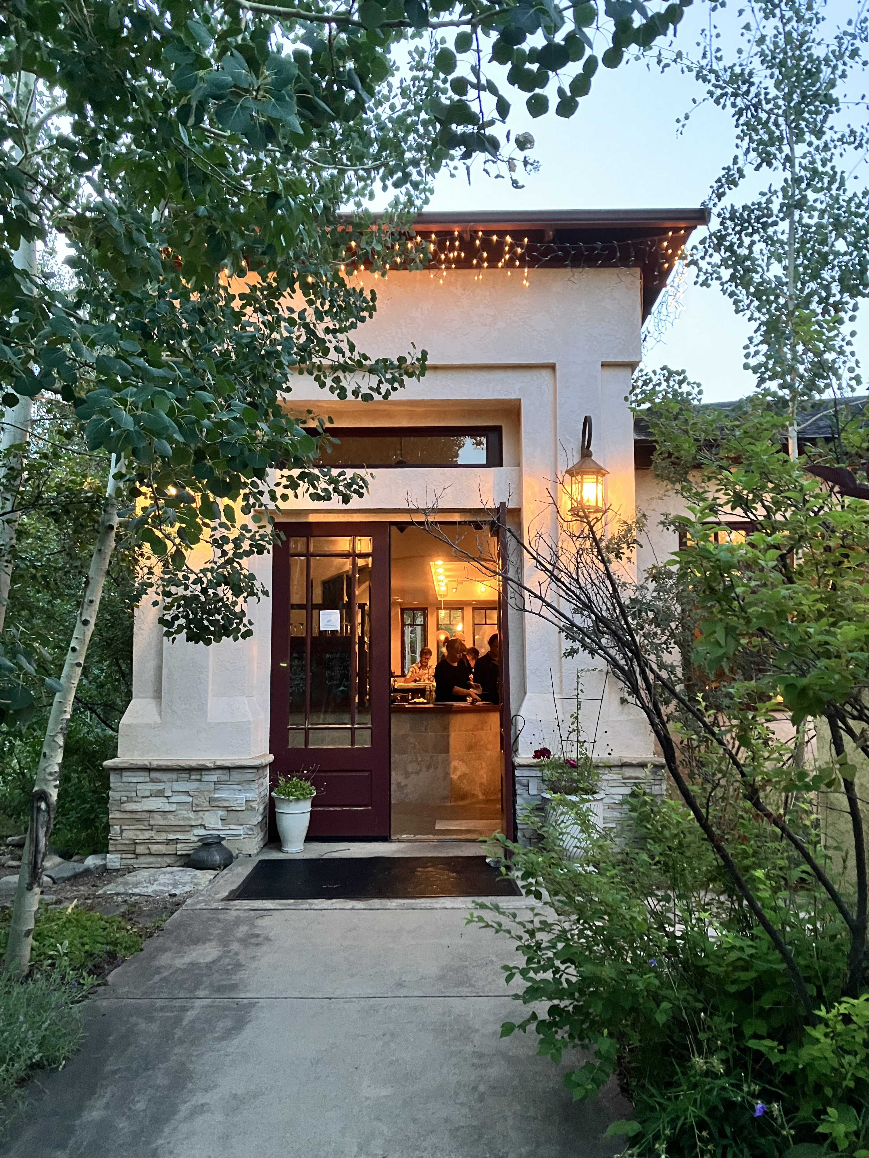
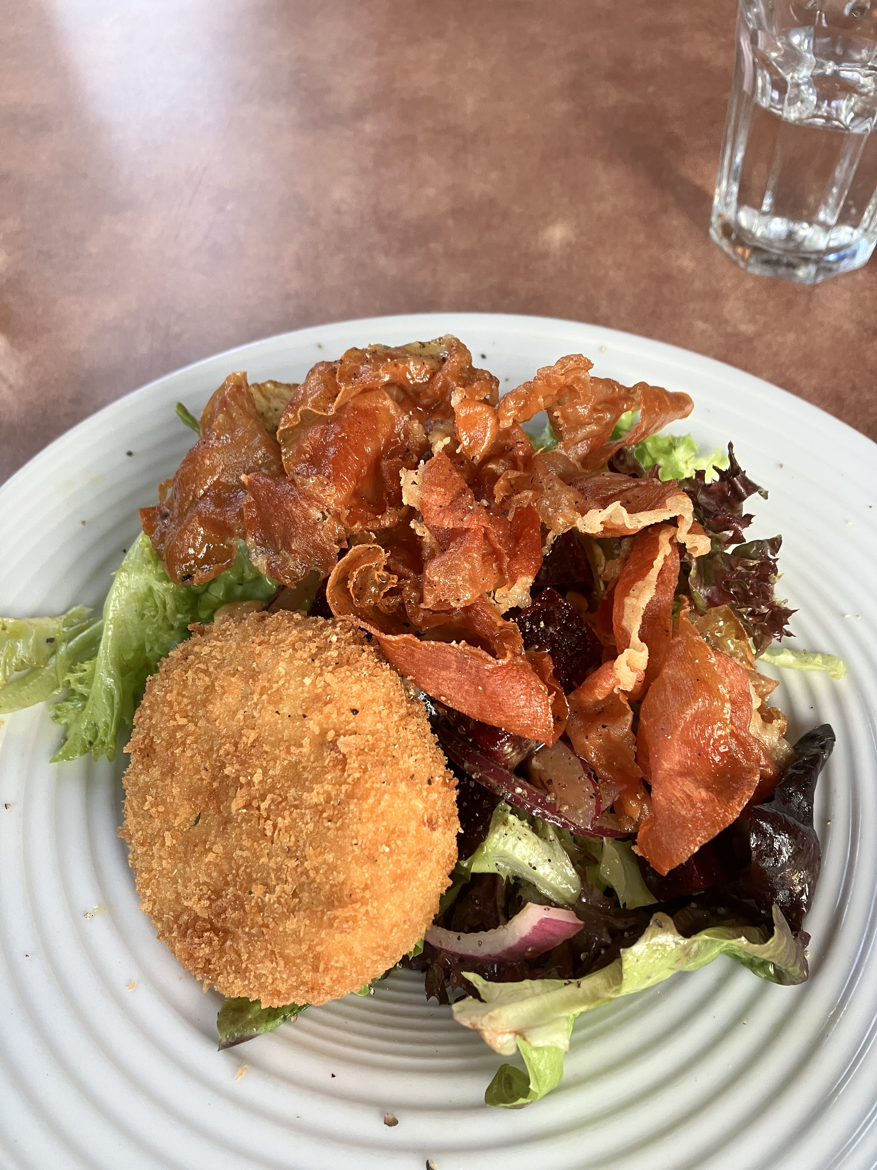
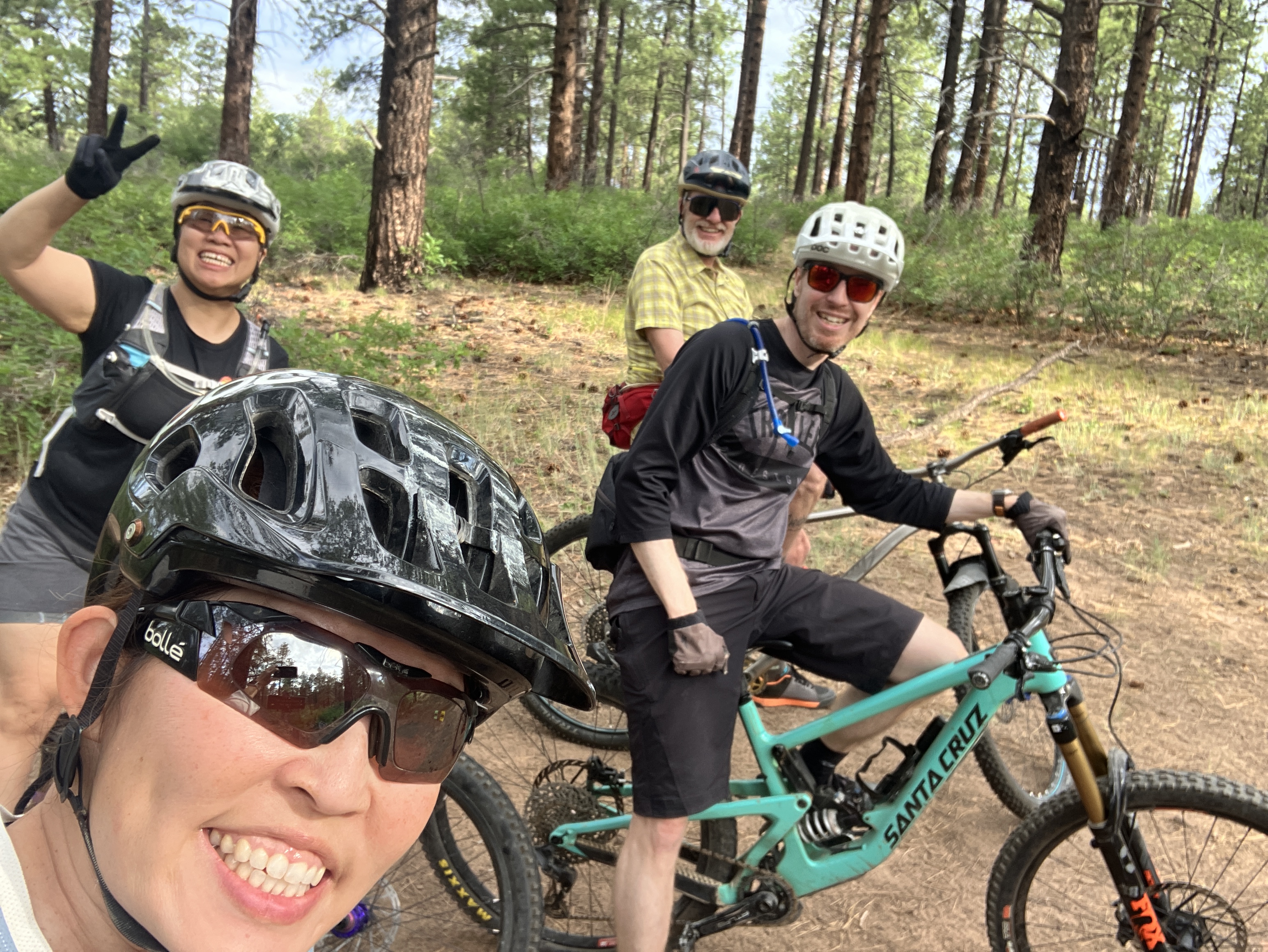
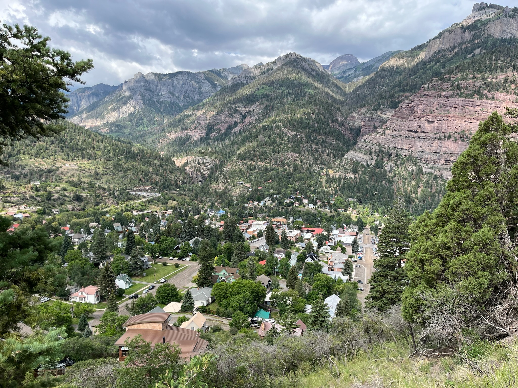
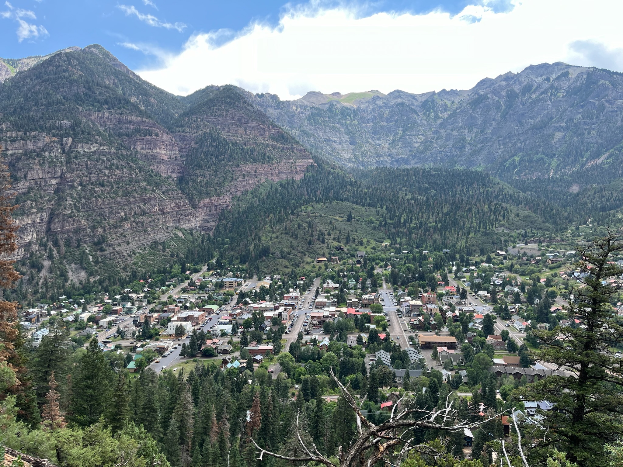
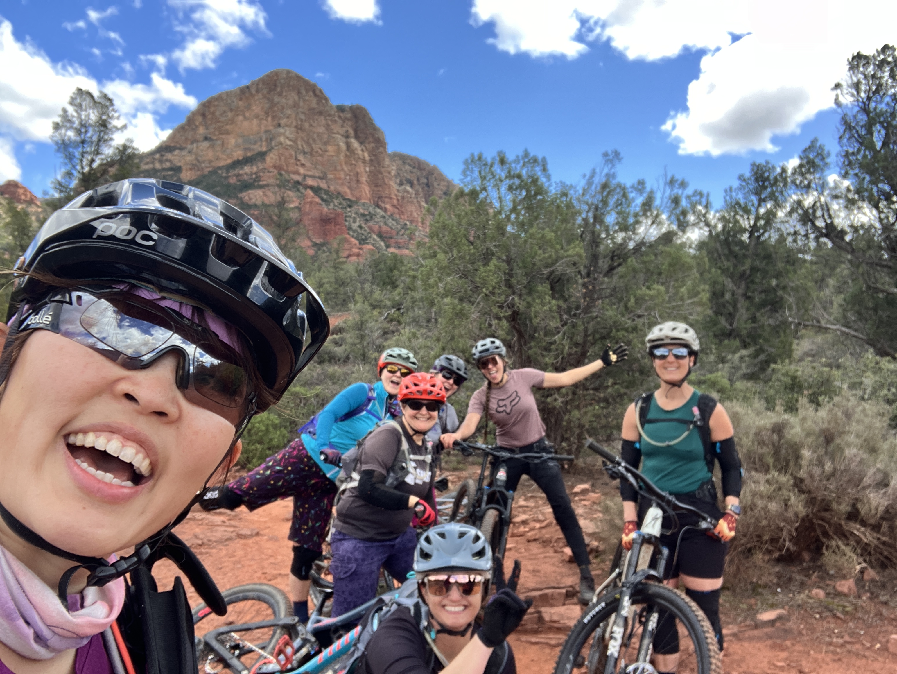
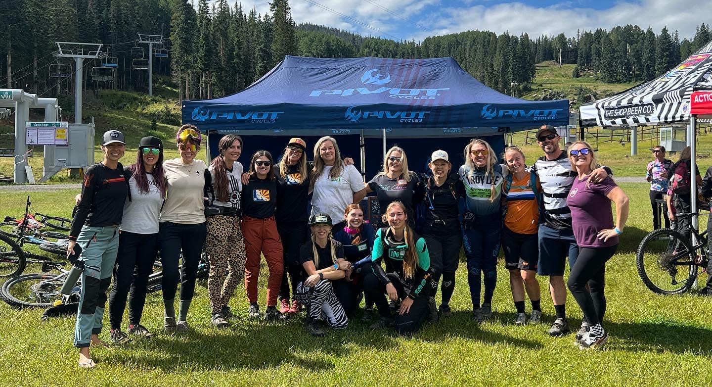
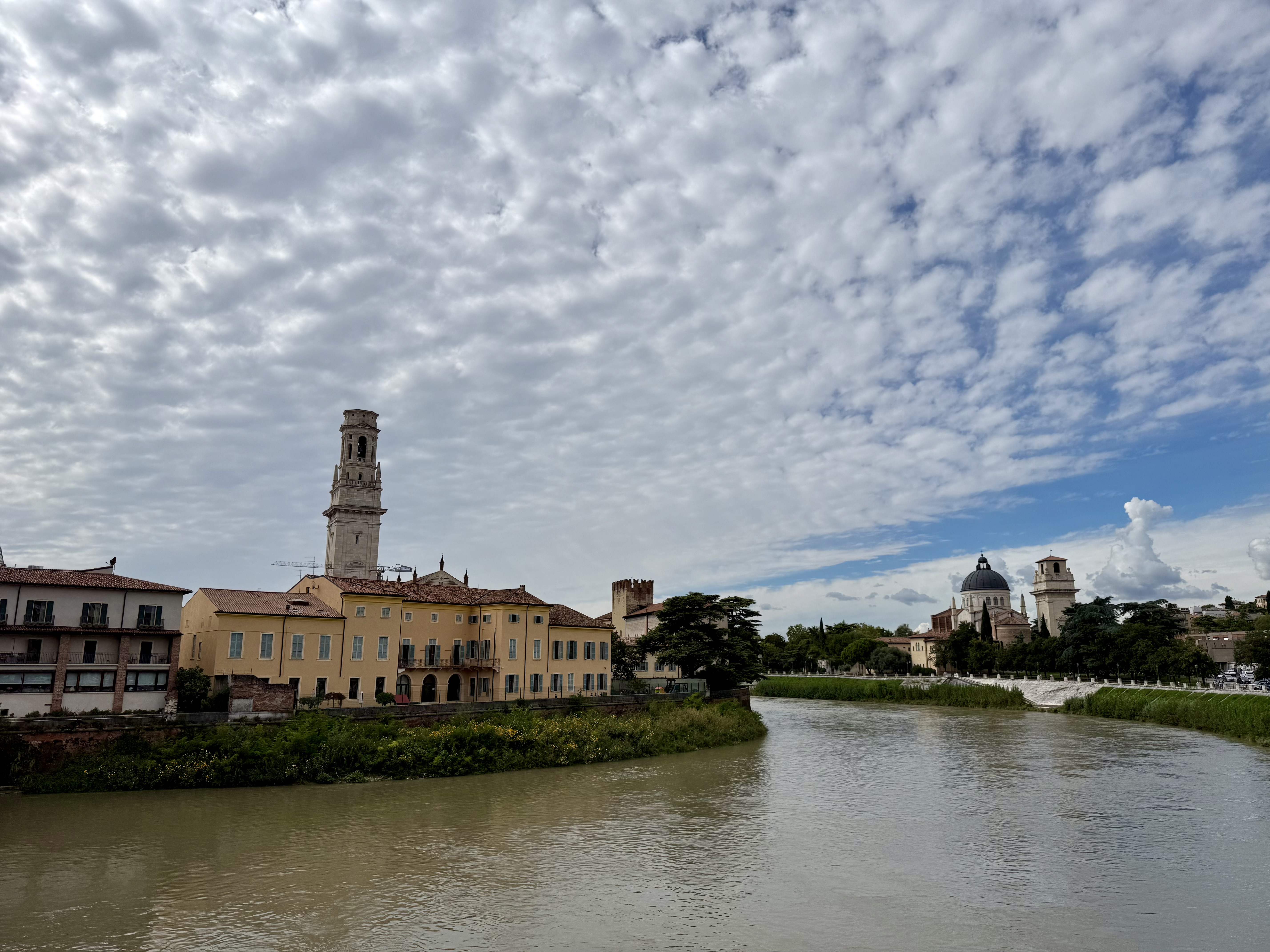
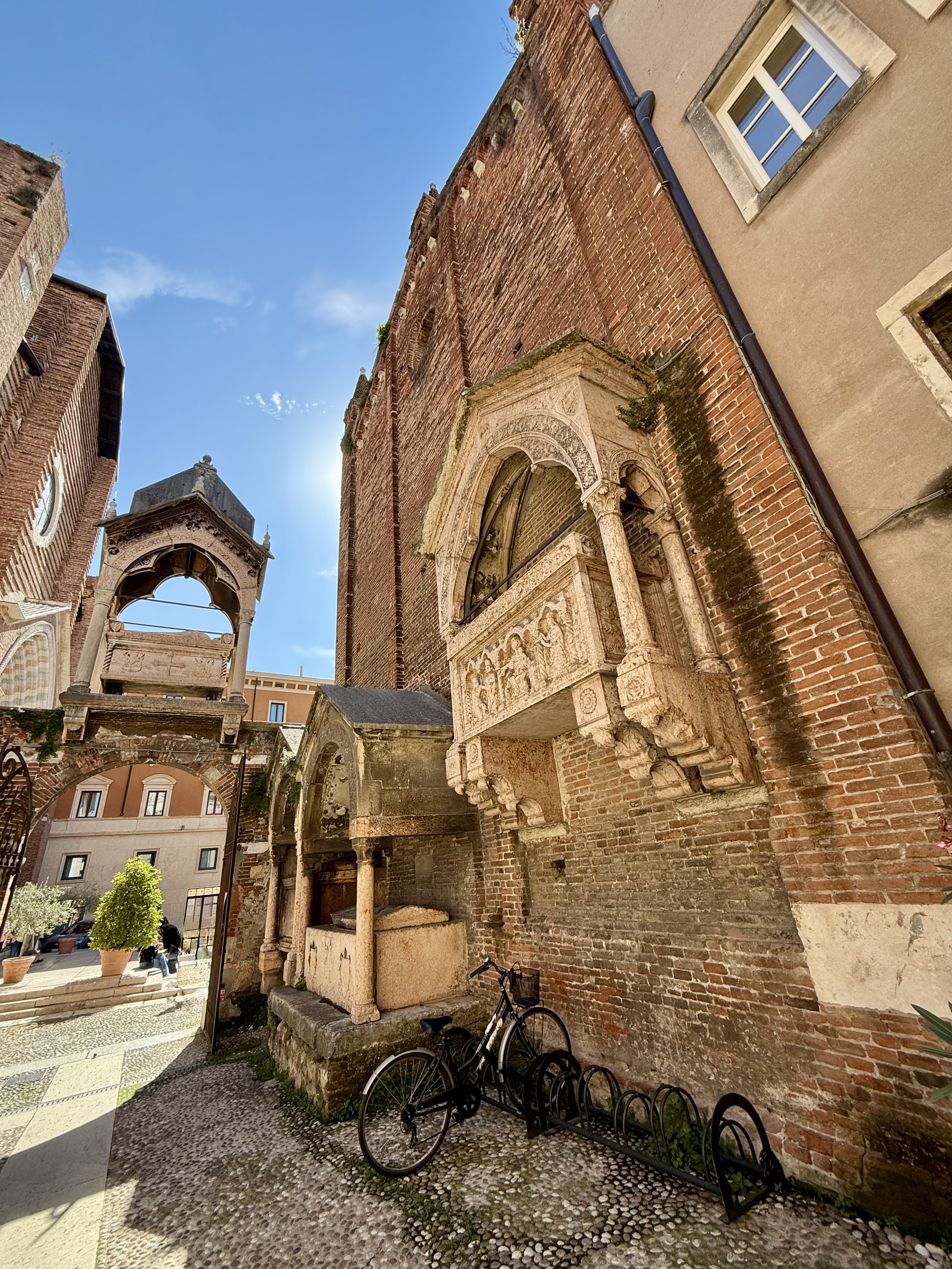
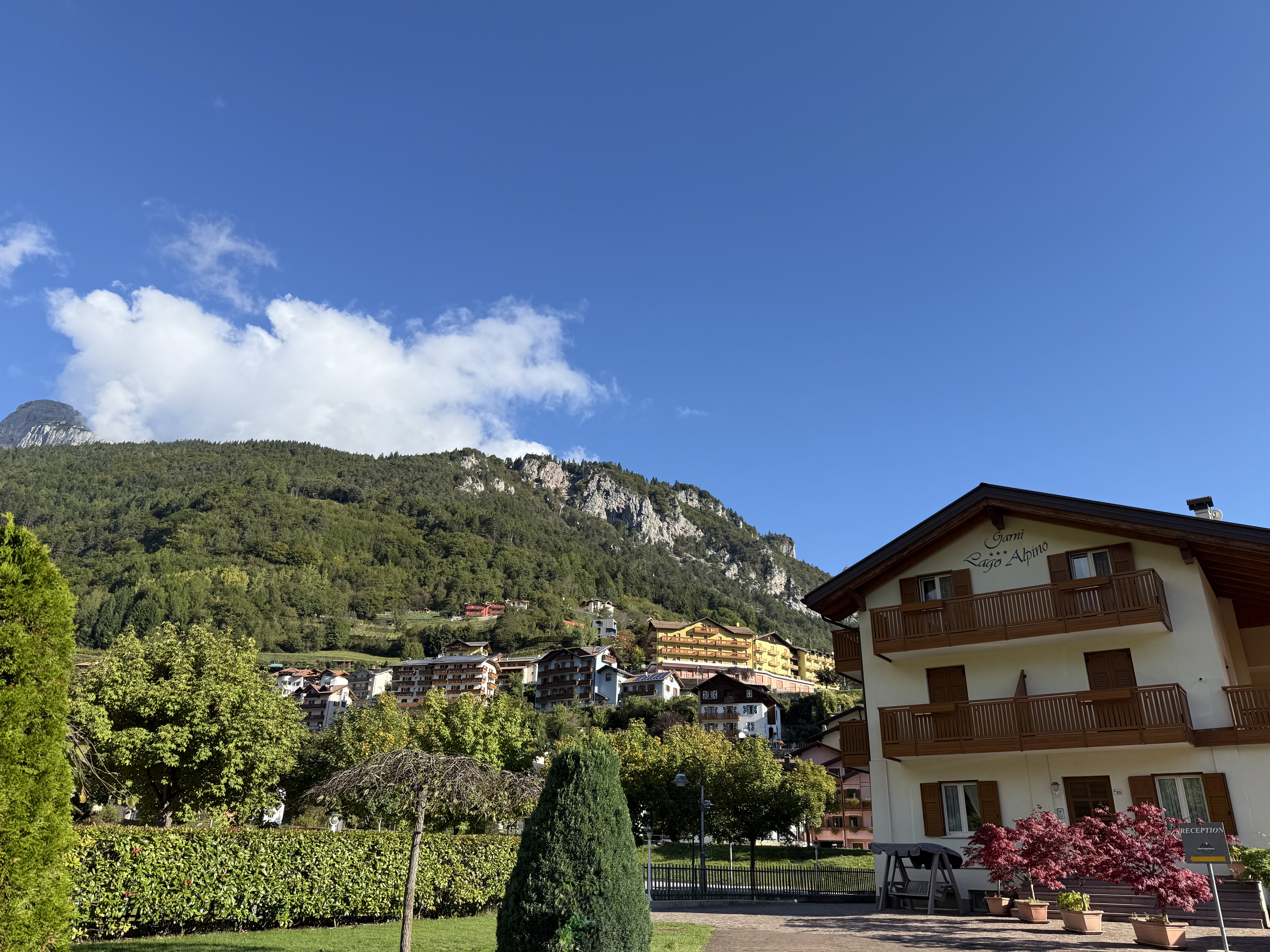
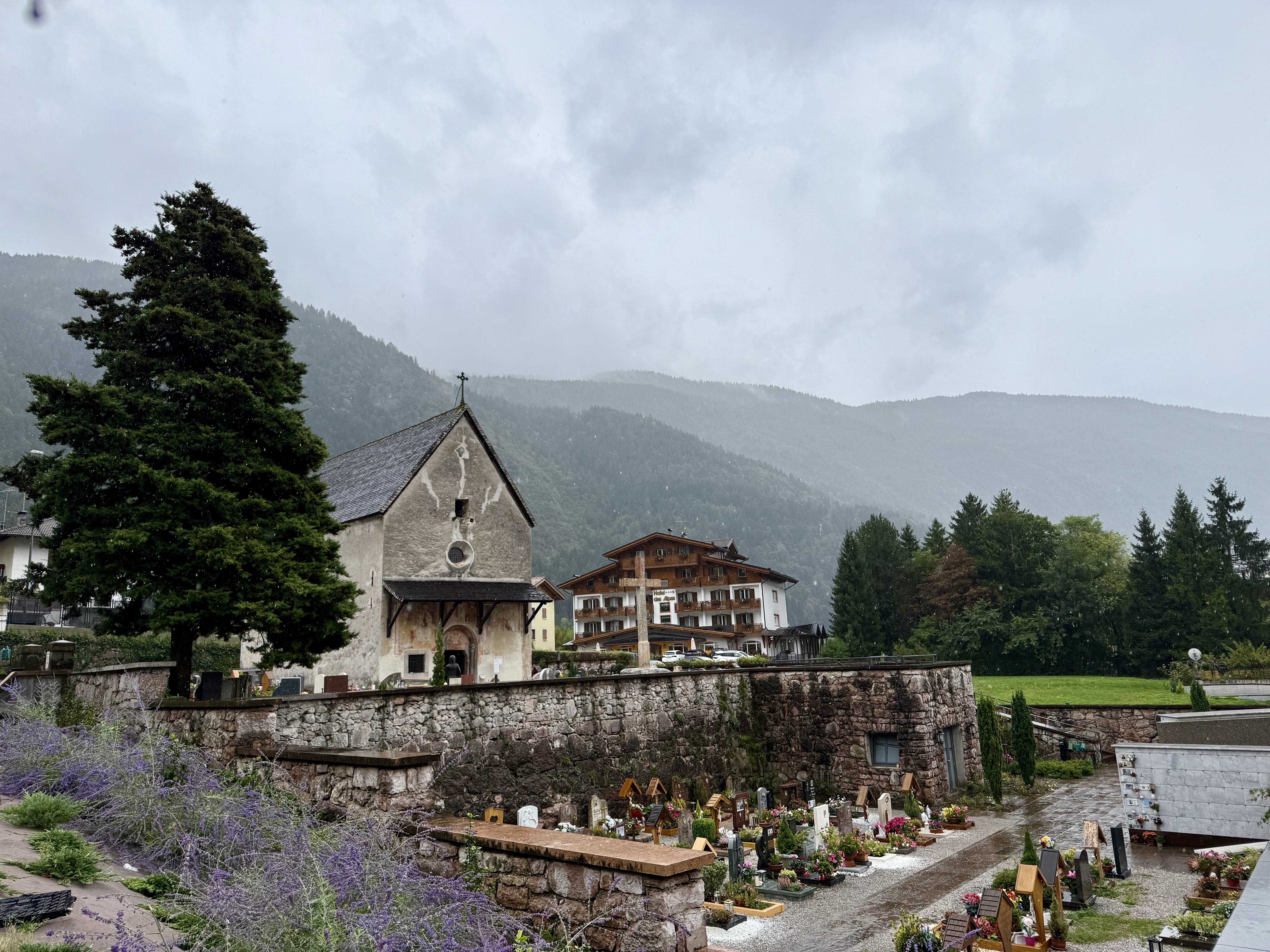
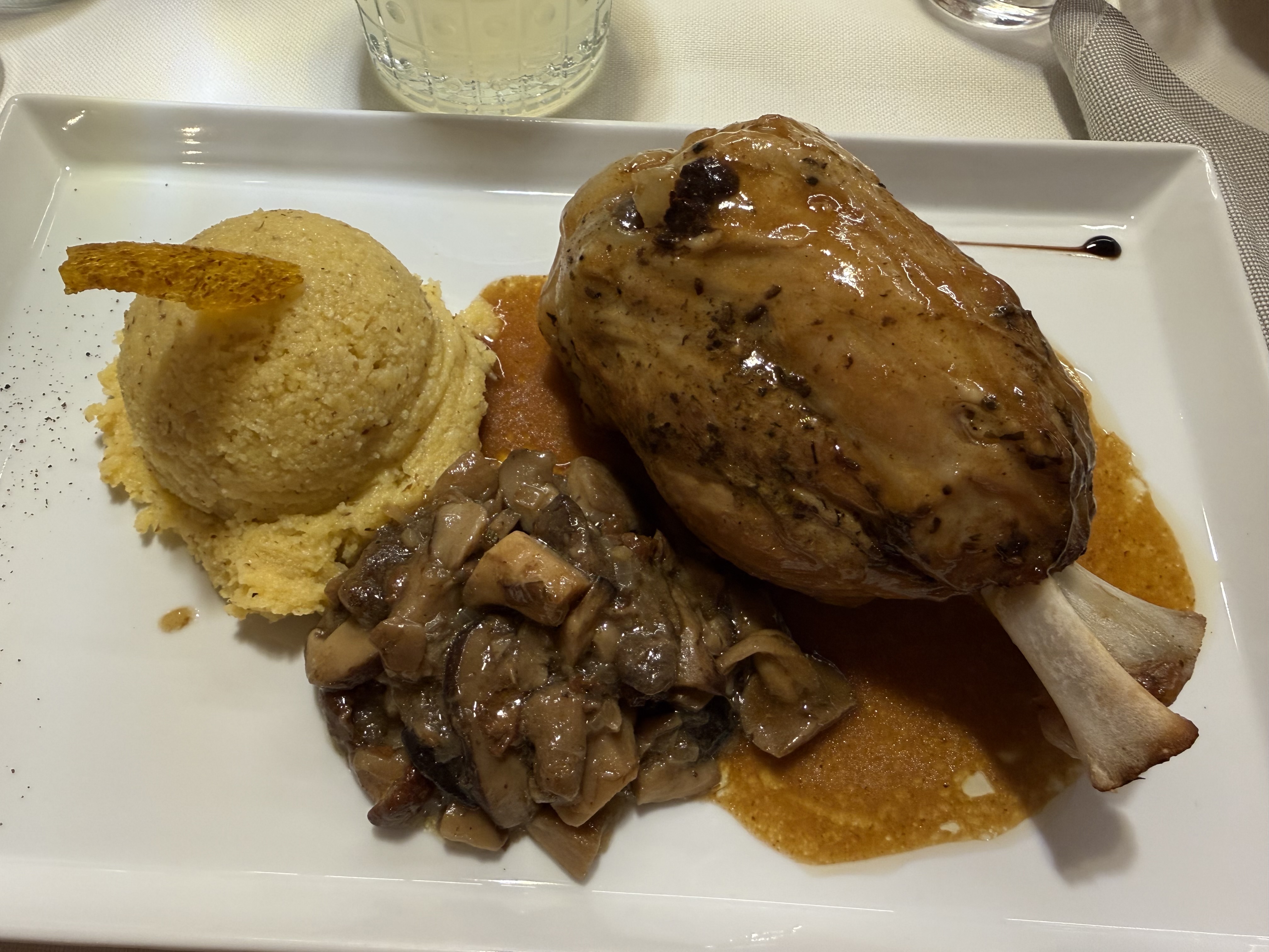
After getting some coffee, we drove to Verona and explored the historic inner city. We found Juliet’s balcony (à la “Romeo and Juliet”) and tried some horsemeat for lunch, which is a regional delicacy. (It does not taste like chicken.) After lunch, we drove to Molveno, an alpine village in the Trentino area, famous for its gorgeous lake and location at the foot of the Dolomite mountains. All that natural beauty makes Molveno the perfect place to host a triathlon! This area is jaw-droppingly gorgeous and provides so many opportunities to enjoy ALL the outdoor activities. When we arrived, we checked into our hotel (Garni Lago Alpino) and met up with our friend, Alex, who was also racing the triathlon. While Alex and Vanessa were at the opening ceremonies, I treated myself to some Italian pizza, a long shower, and a FaceTime call with my SAT (self-appointed trainer, i.e., husband).

Friday September 26, 2025

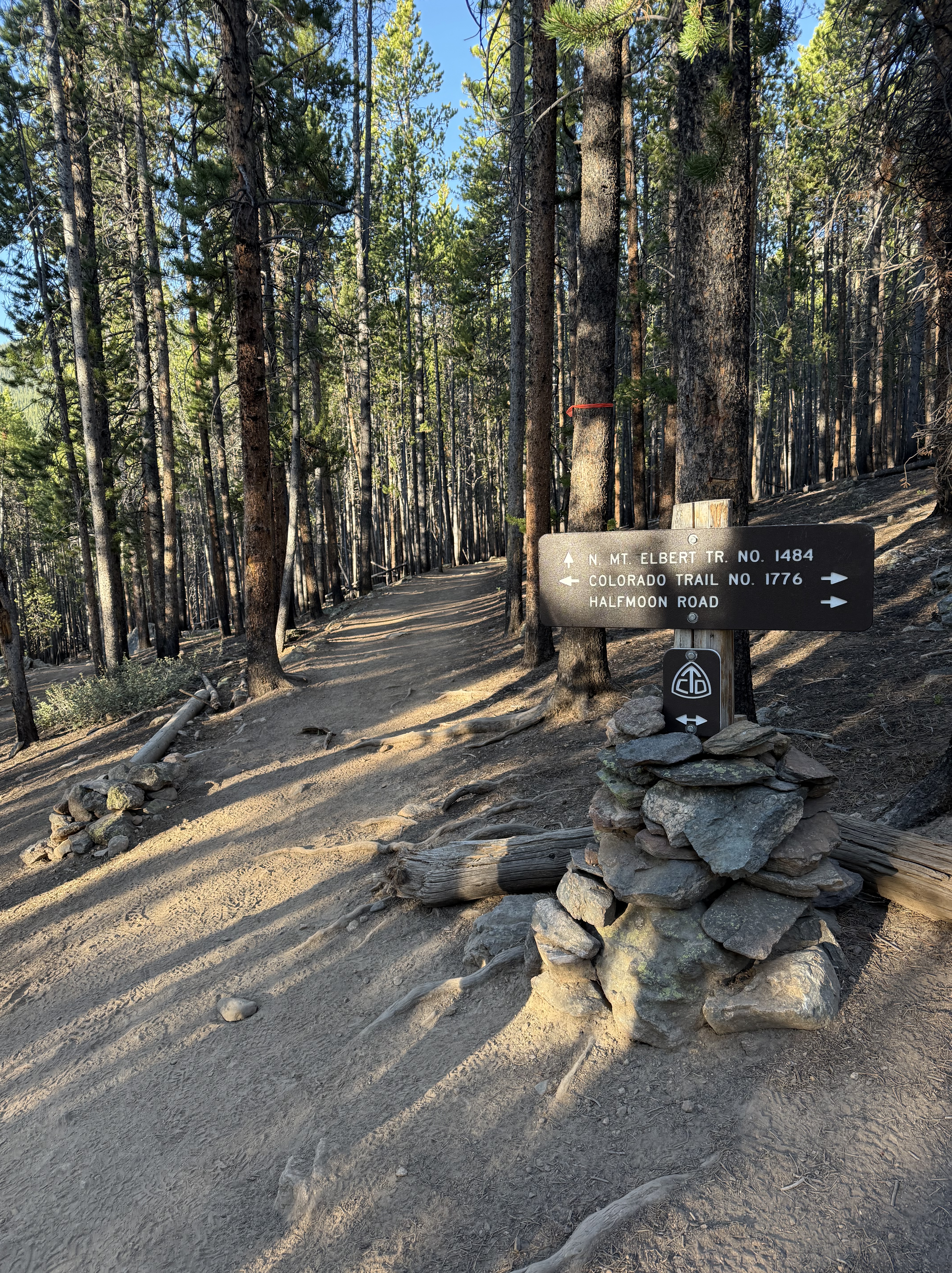
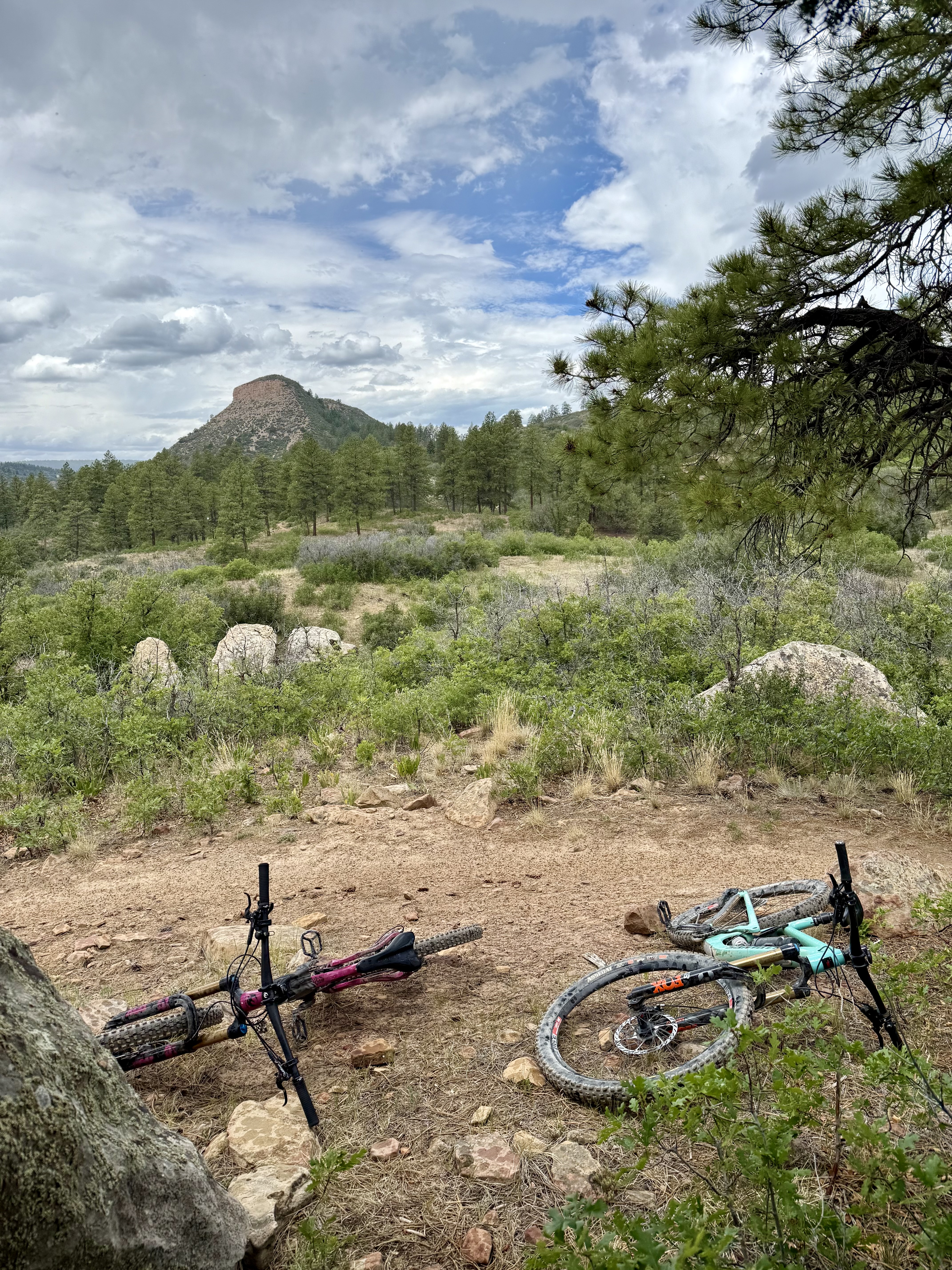
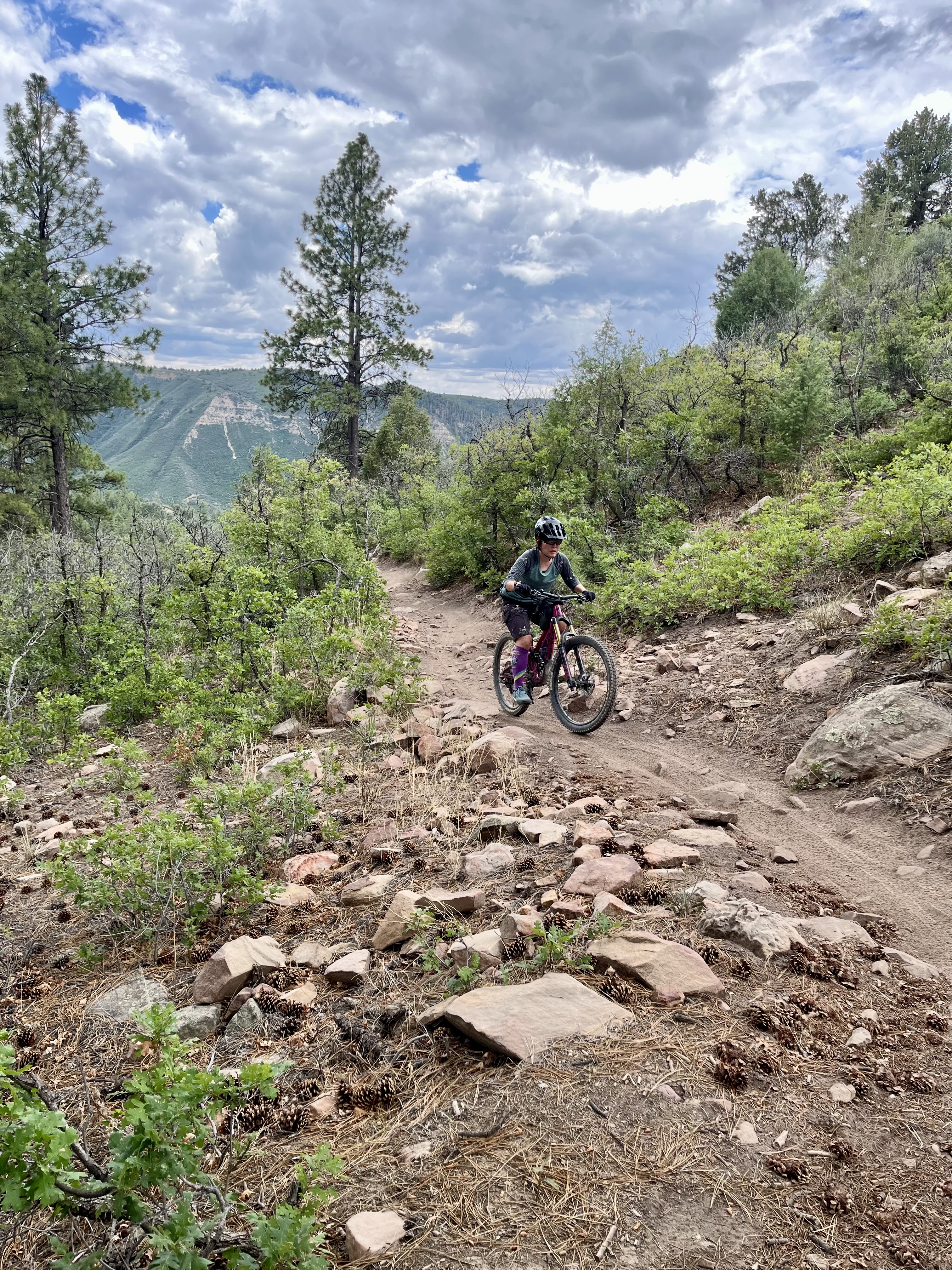
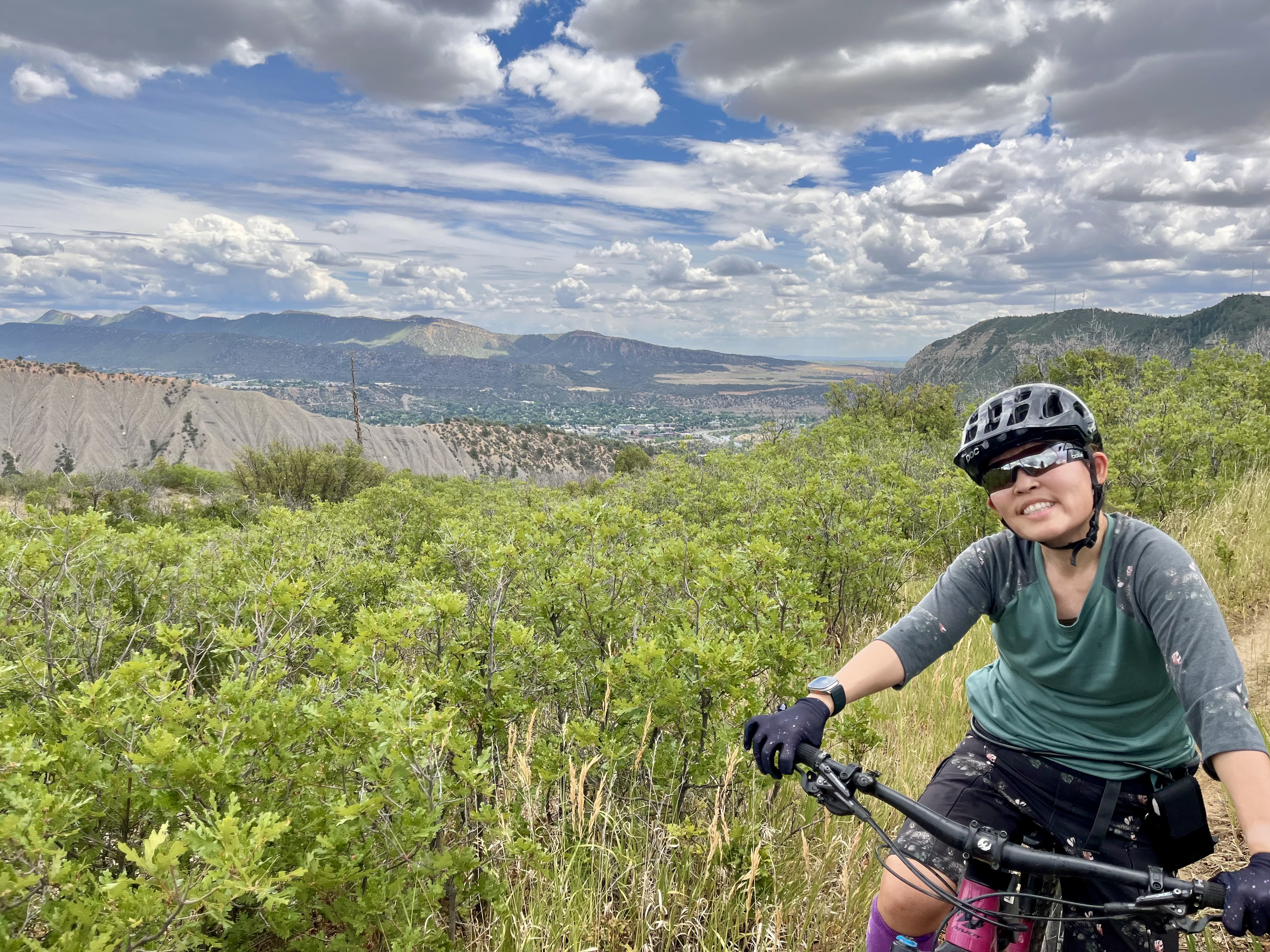
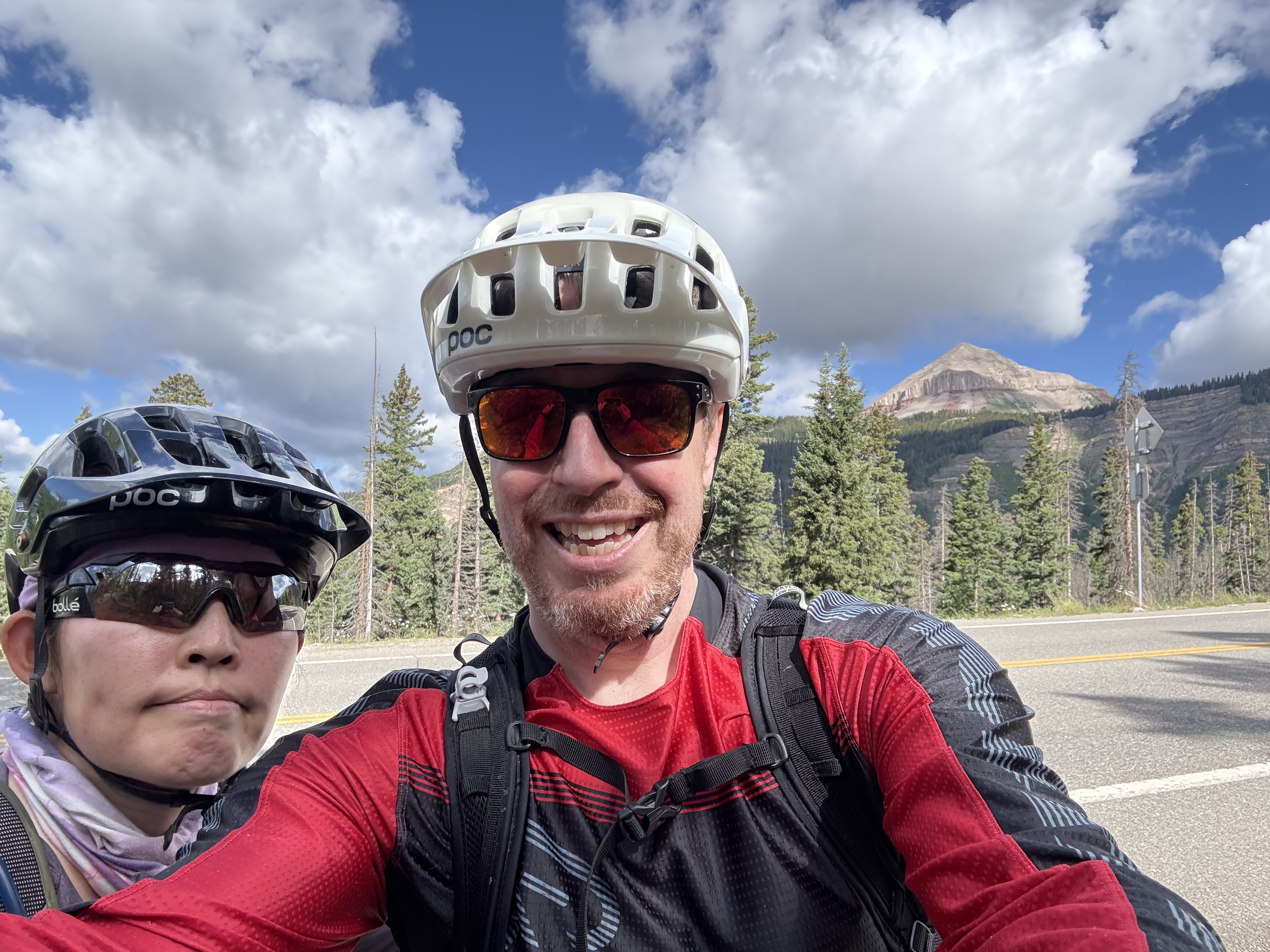
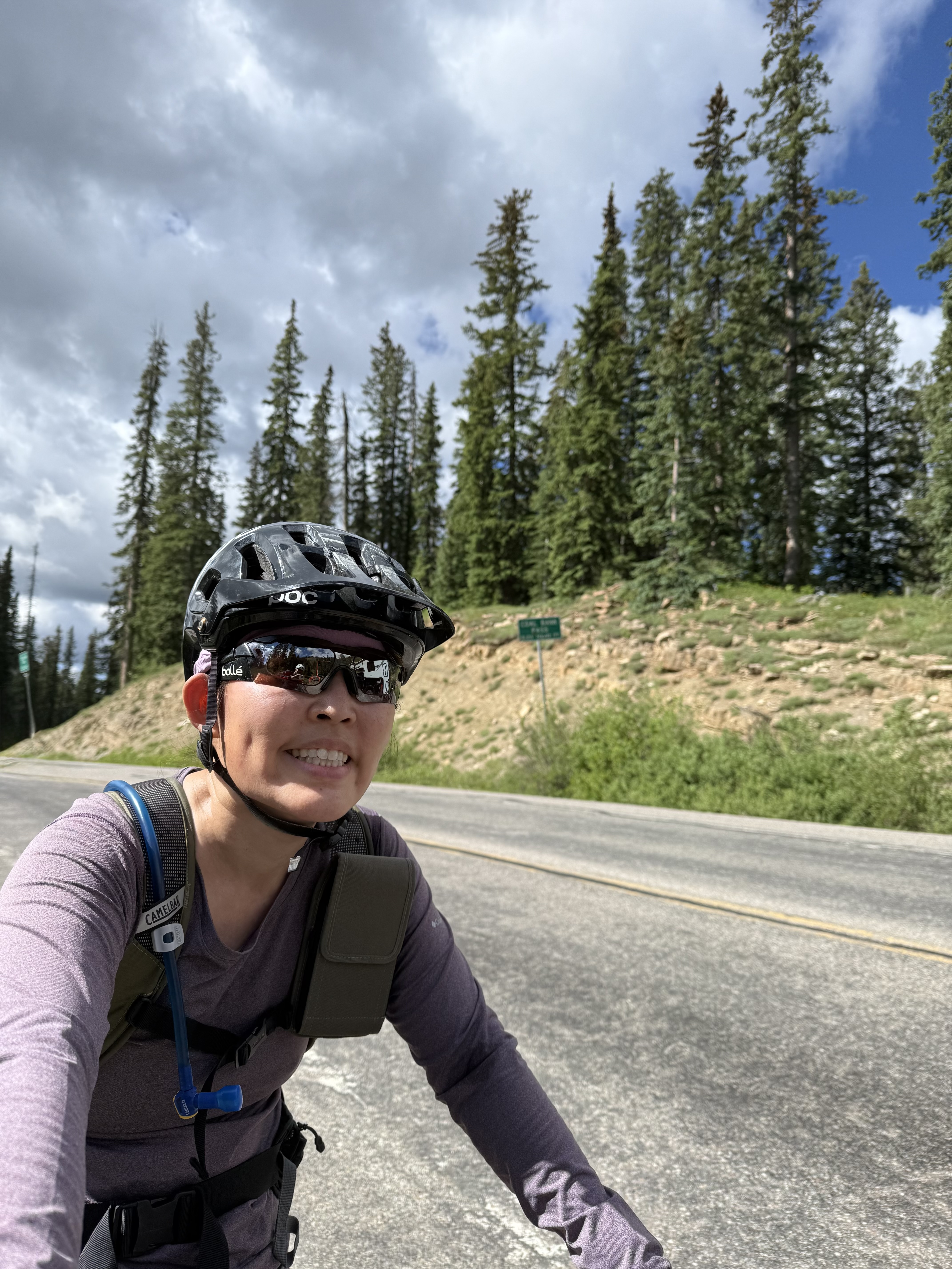
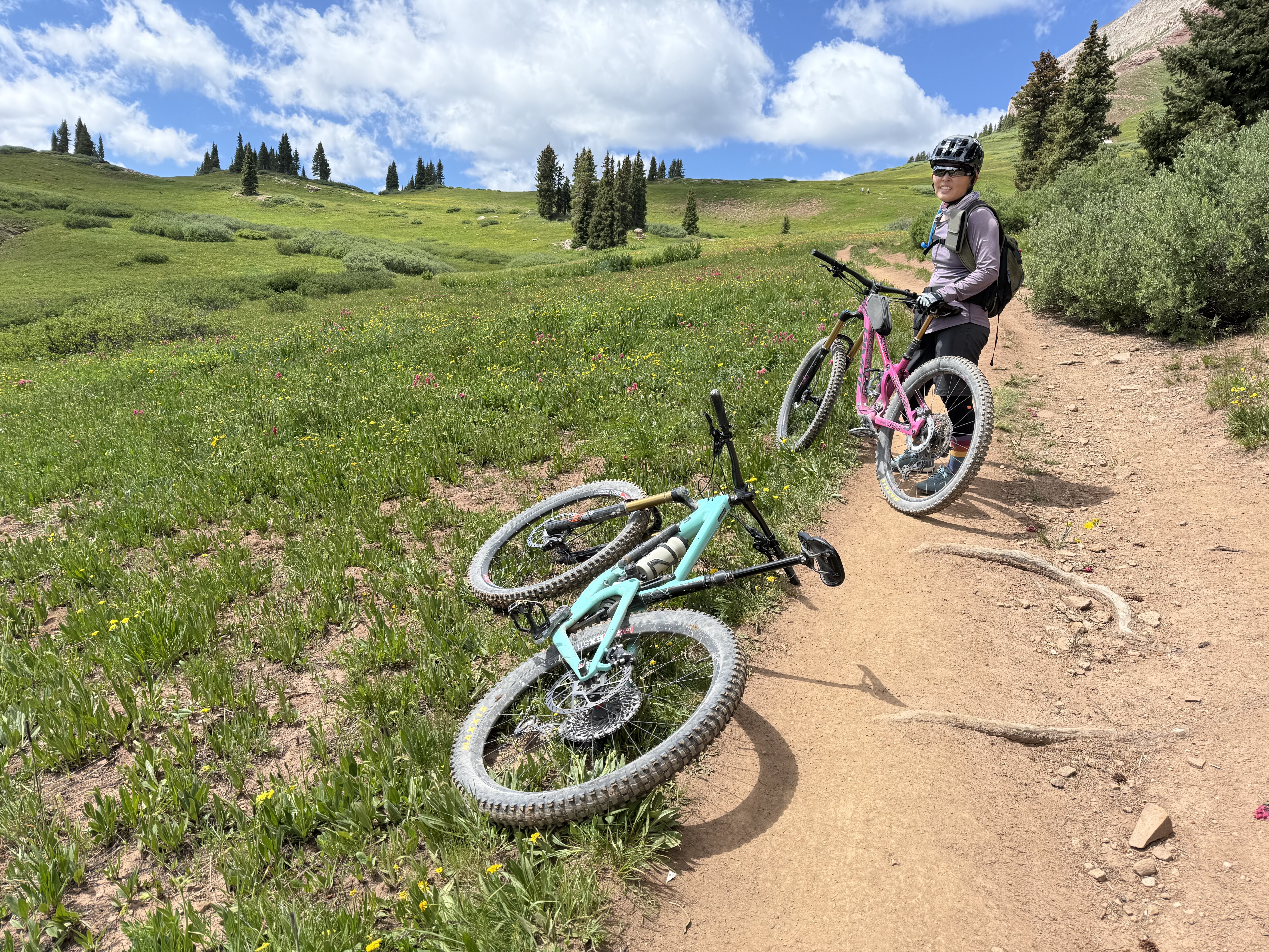
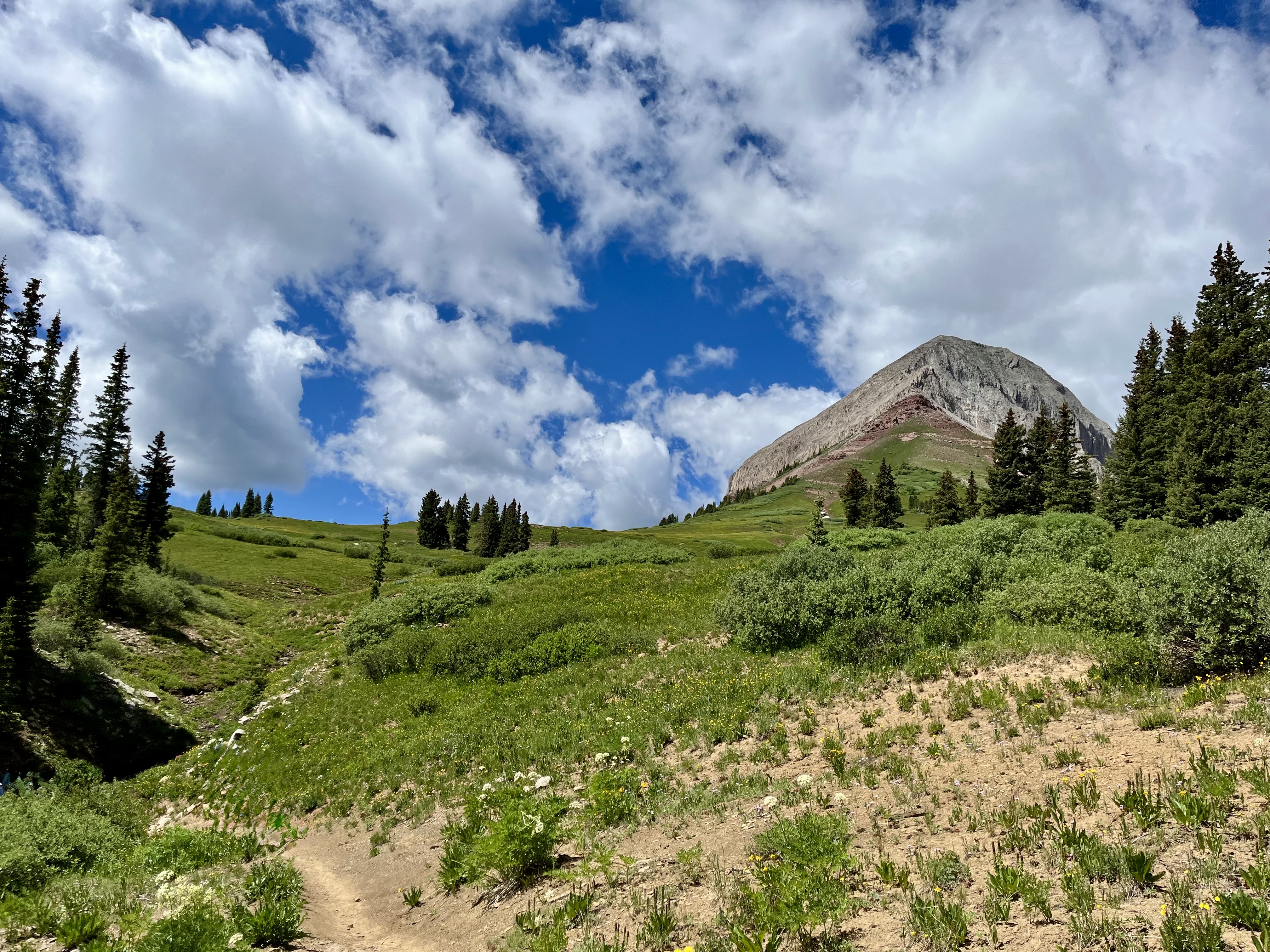
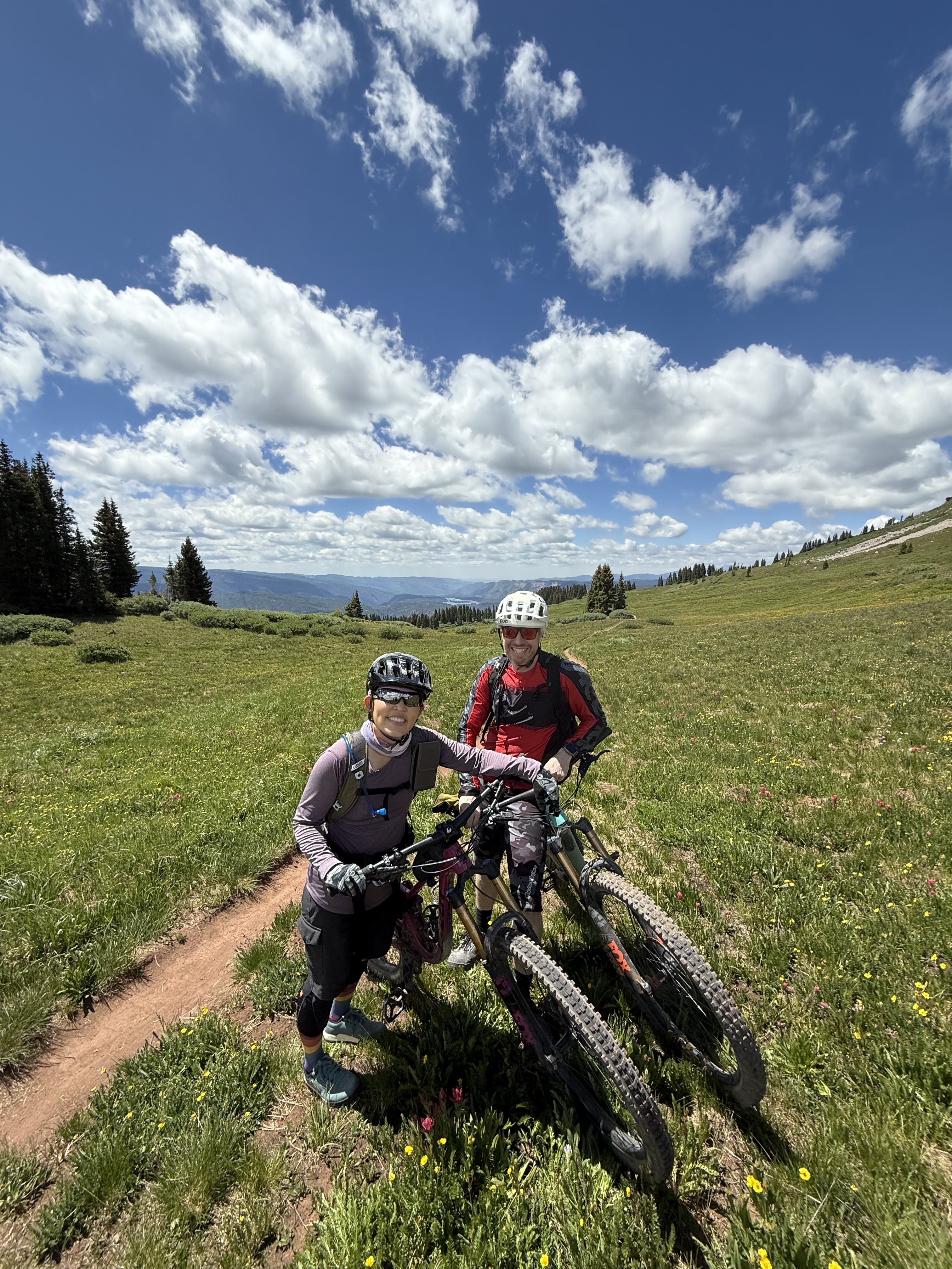
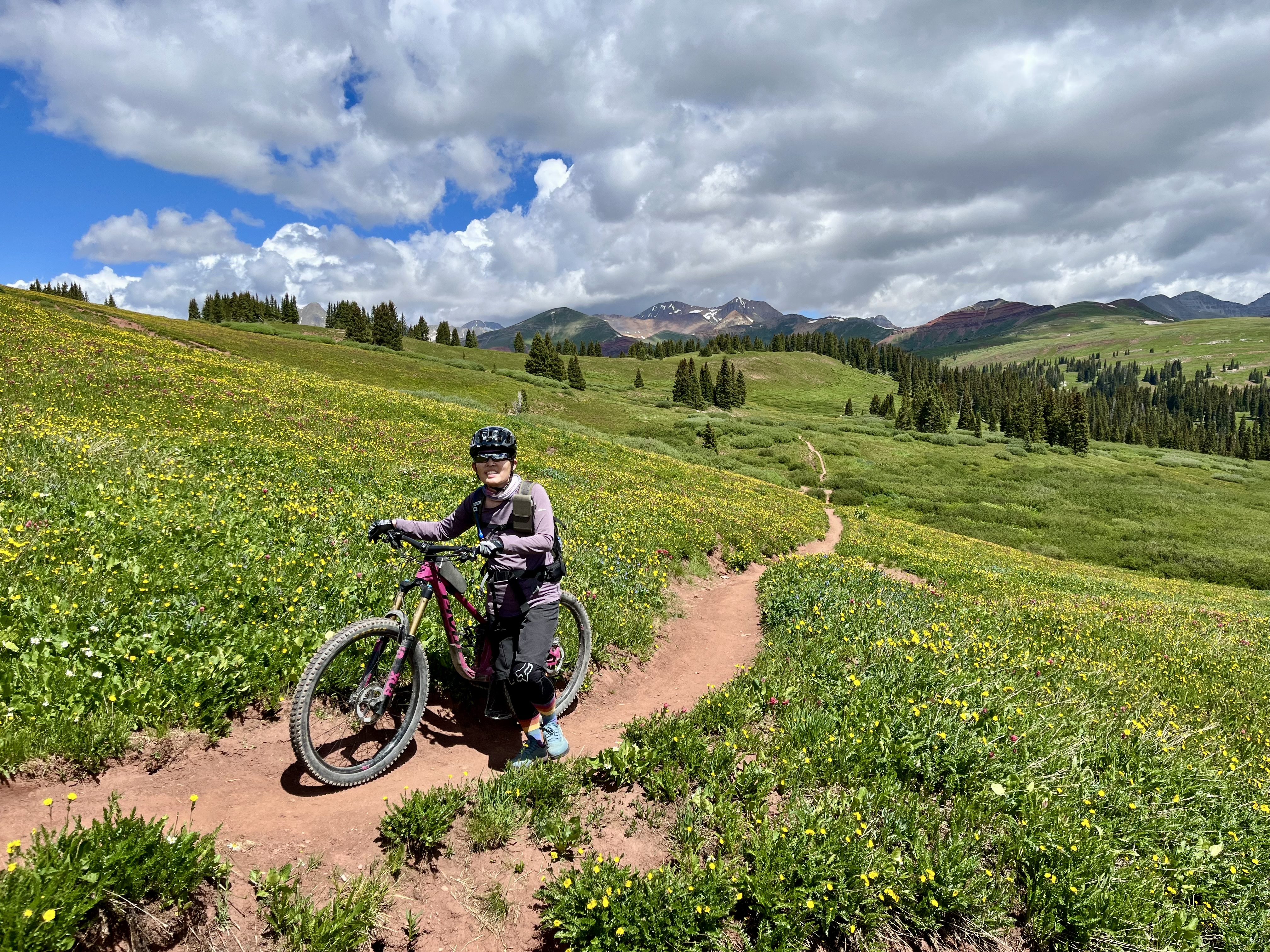
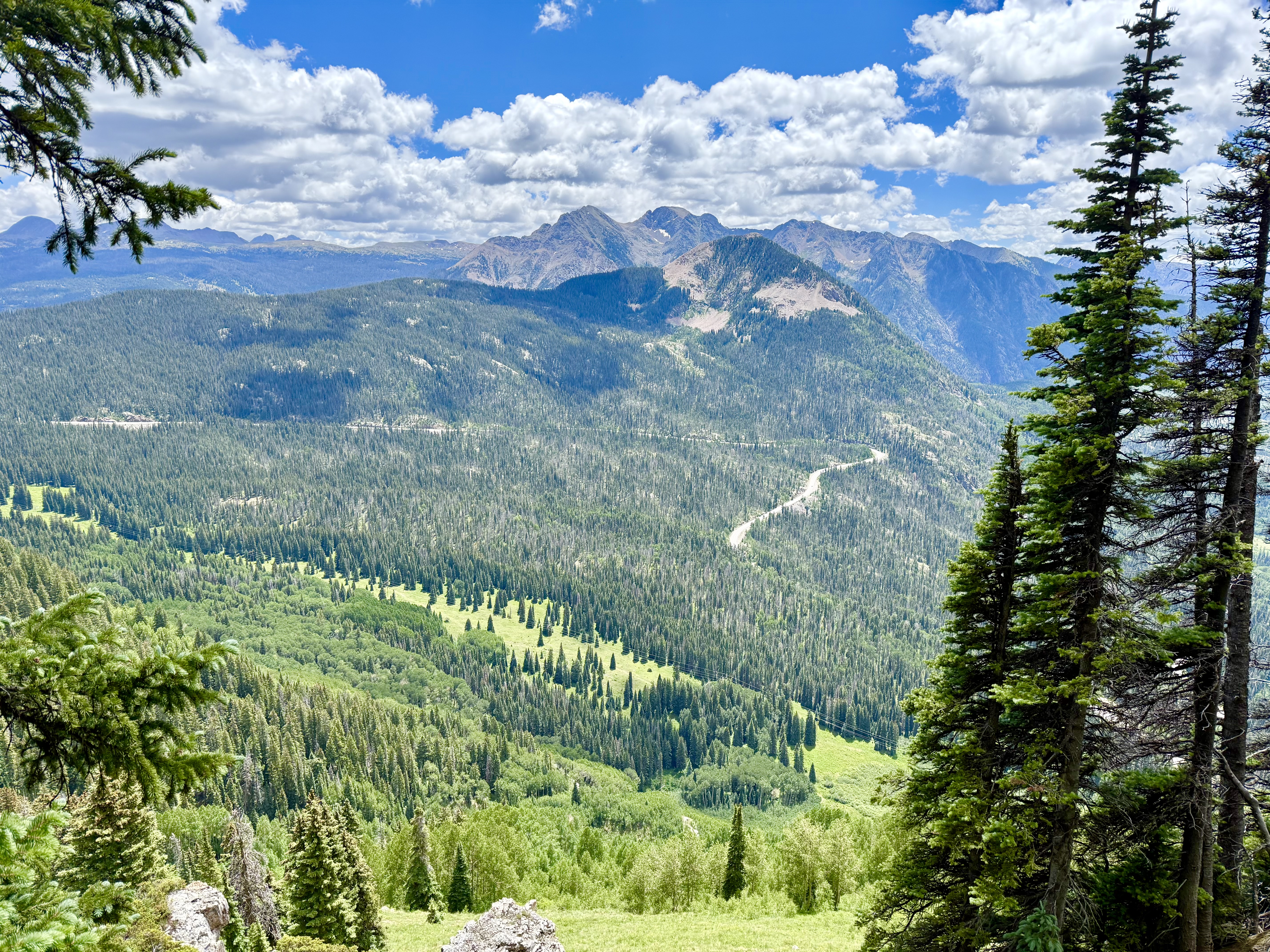
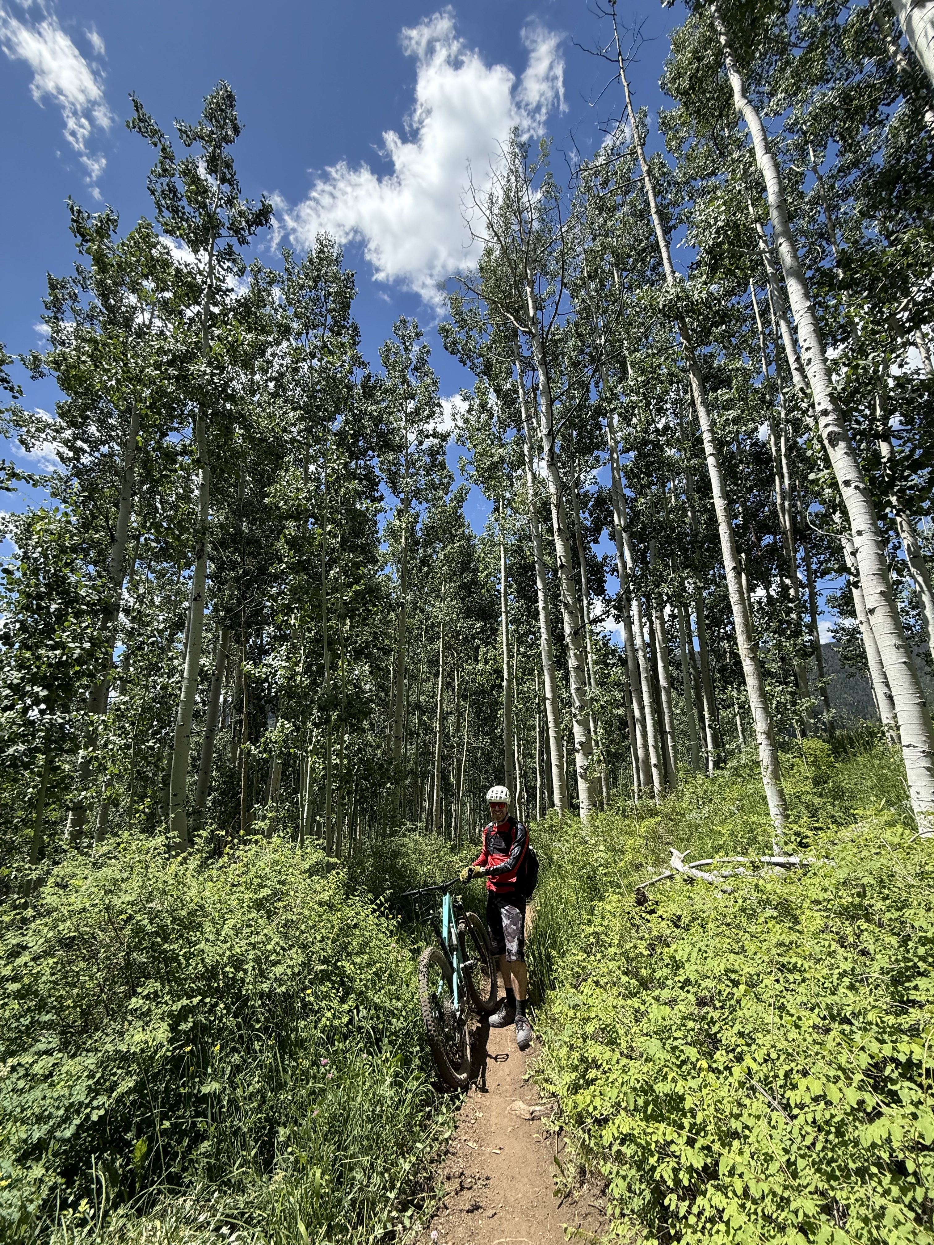
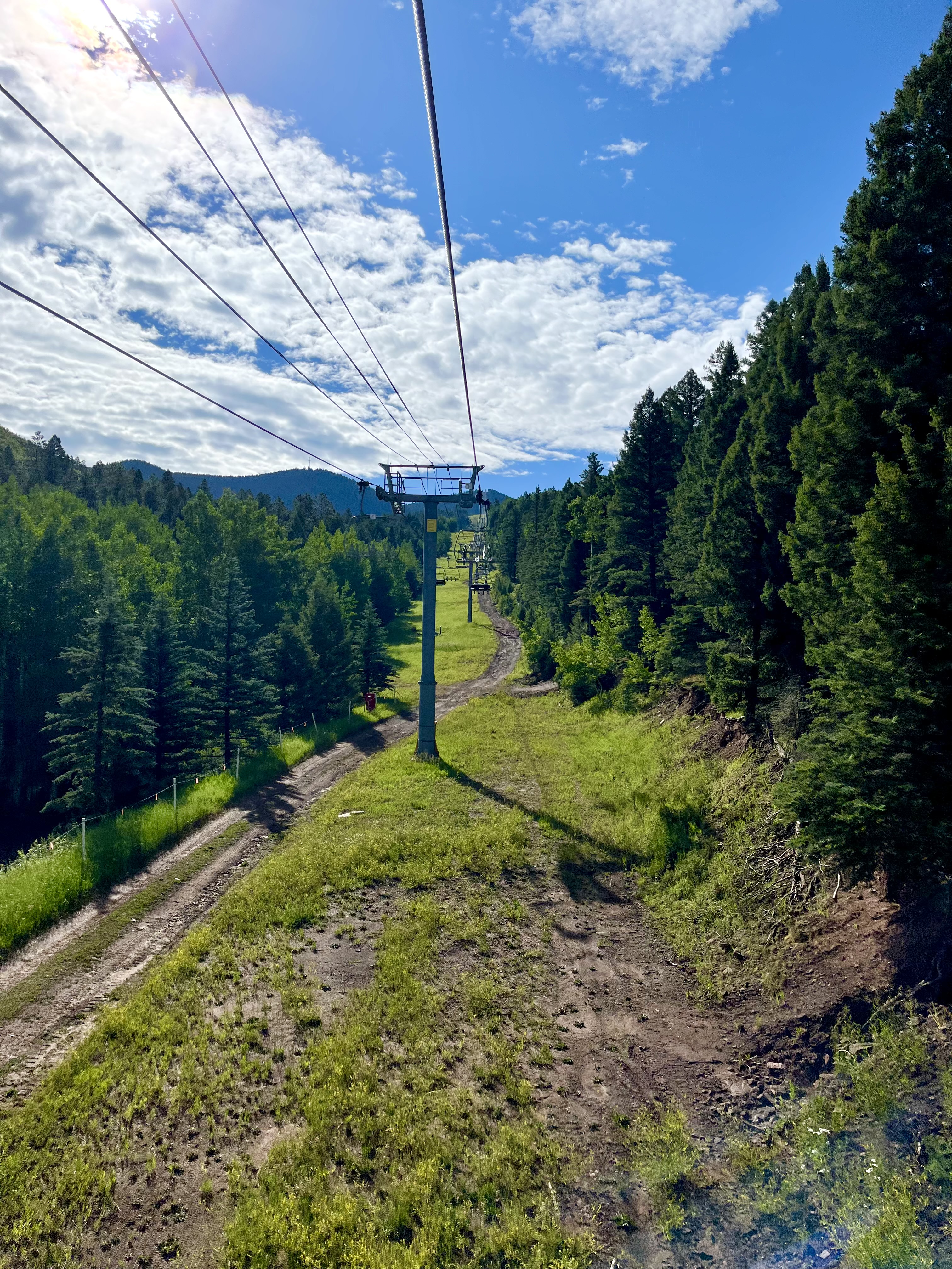
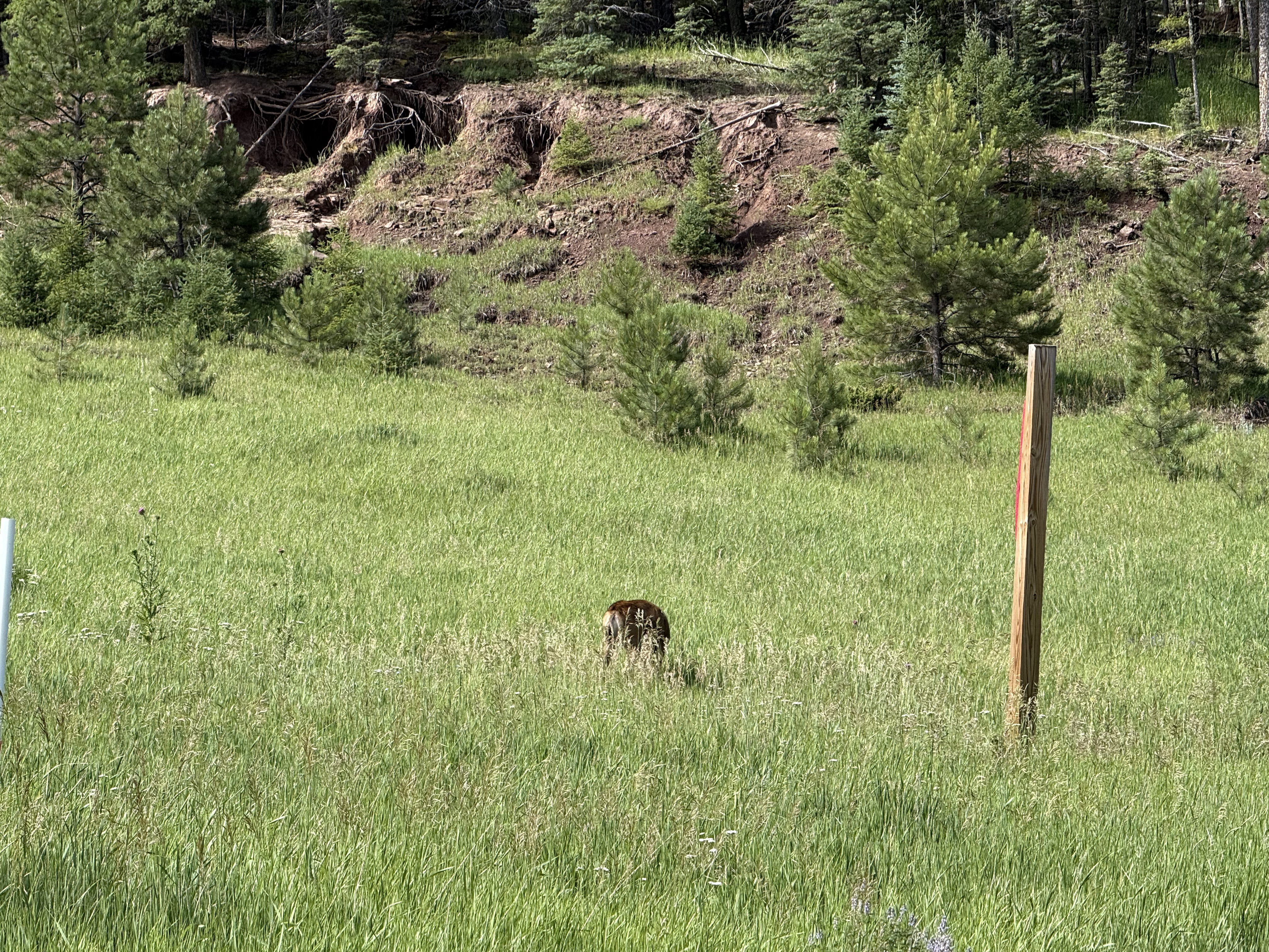
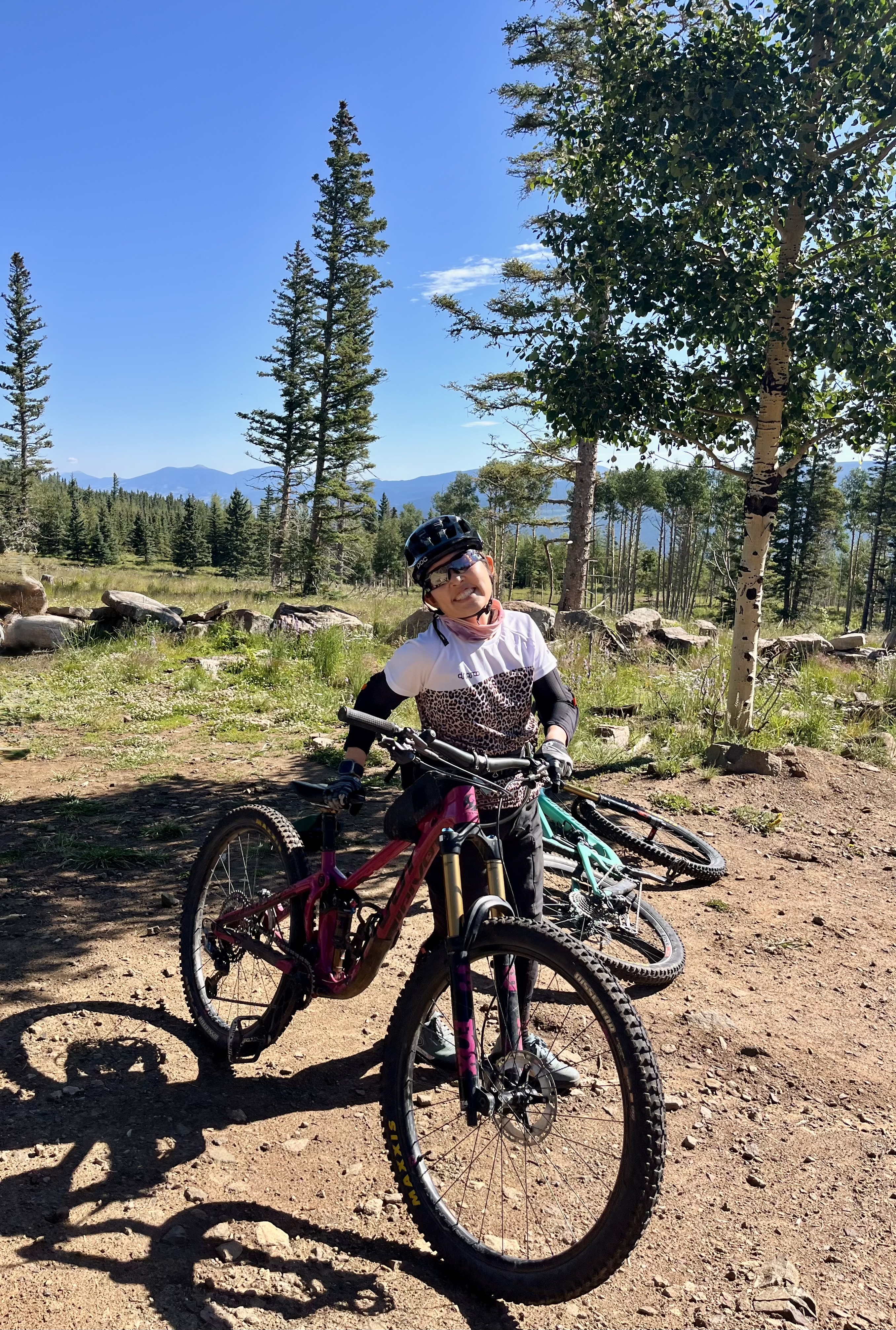
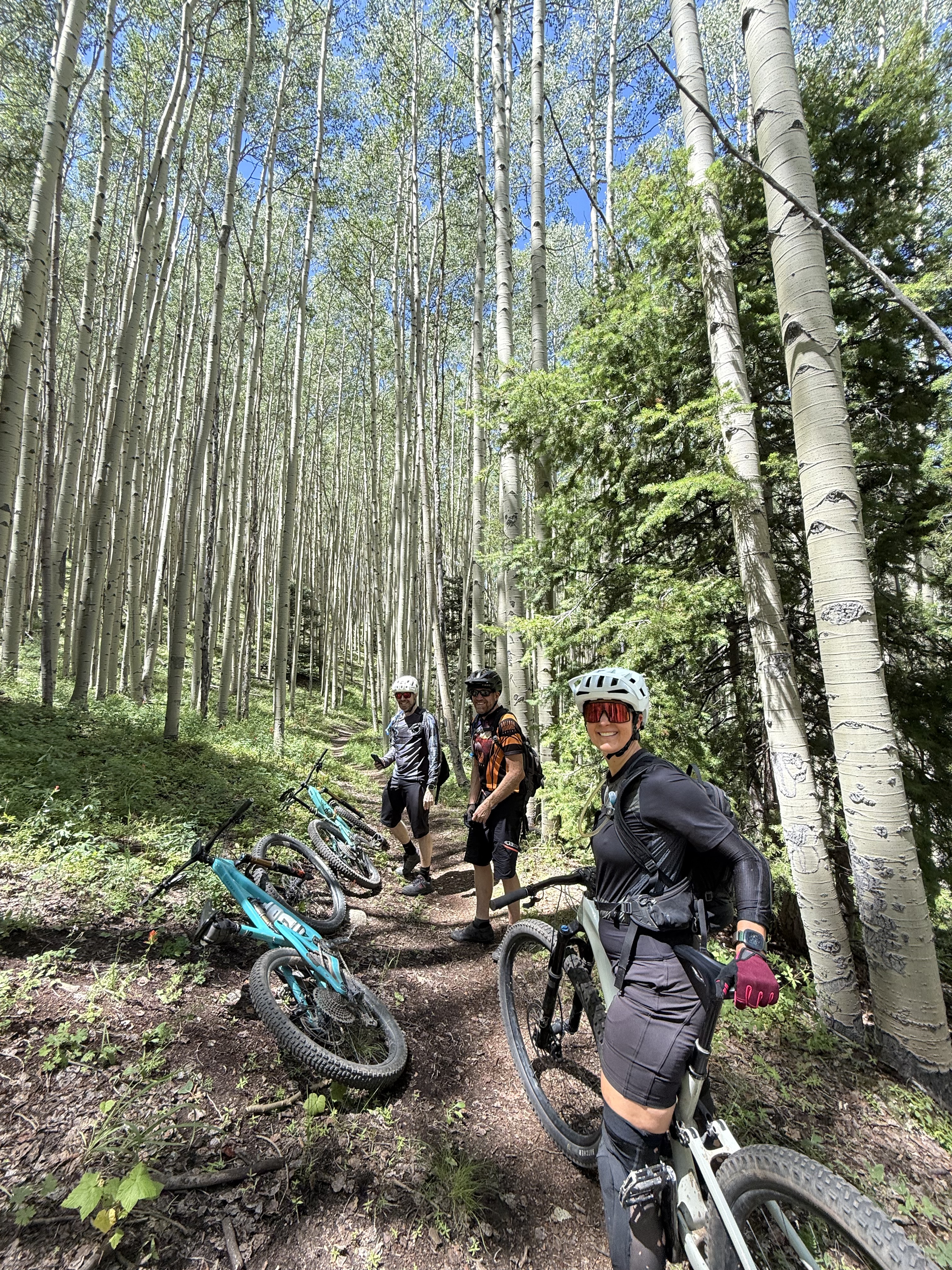
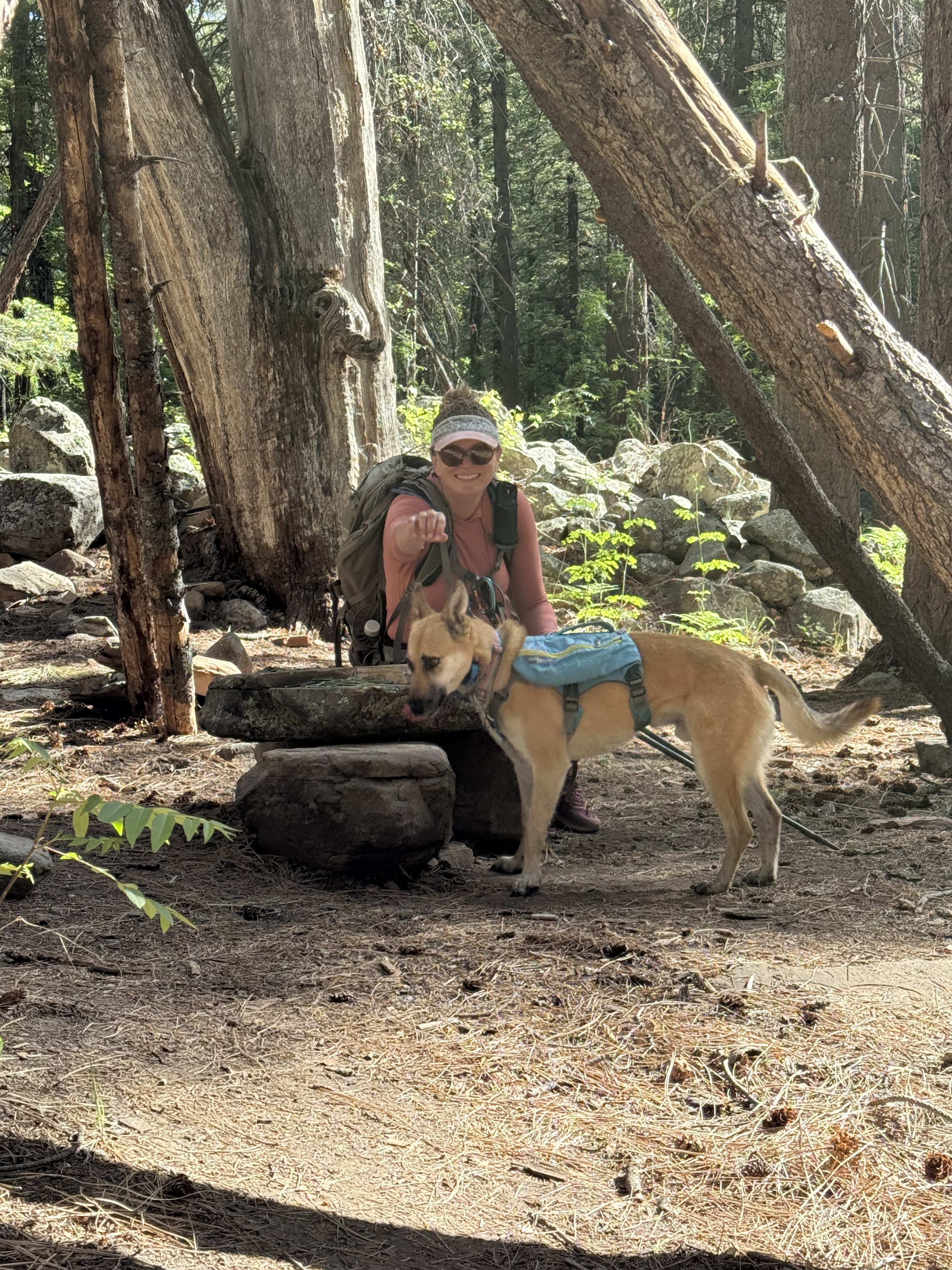
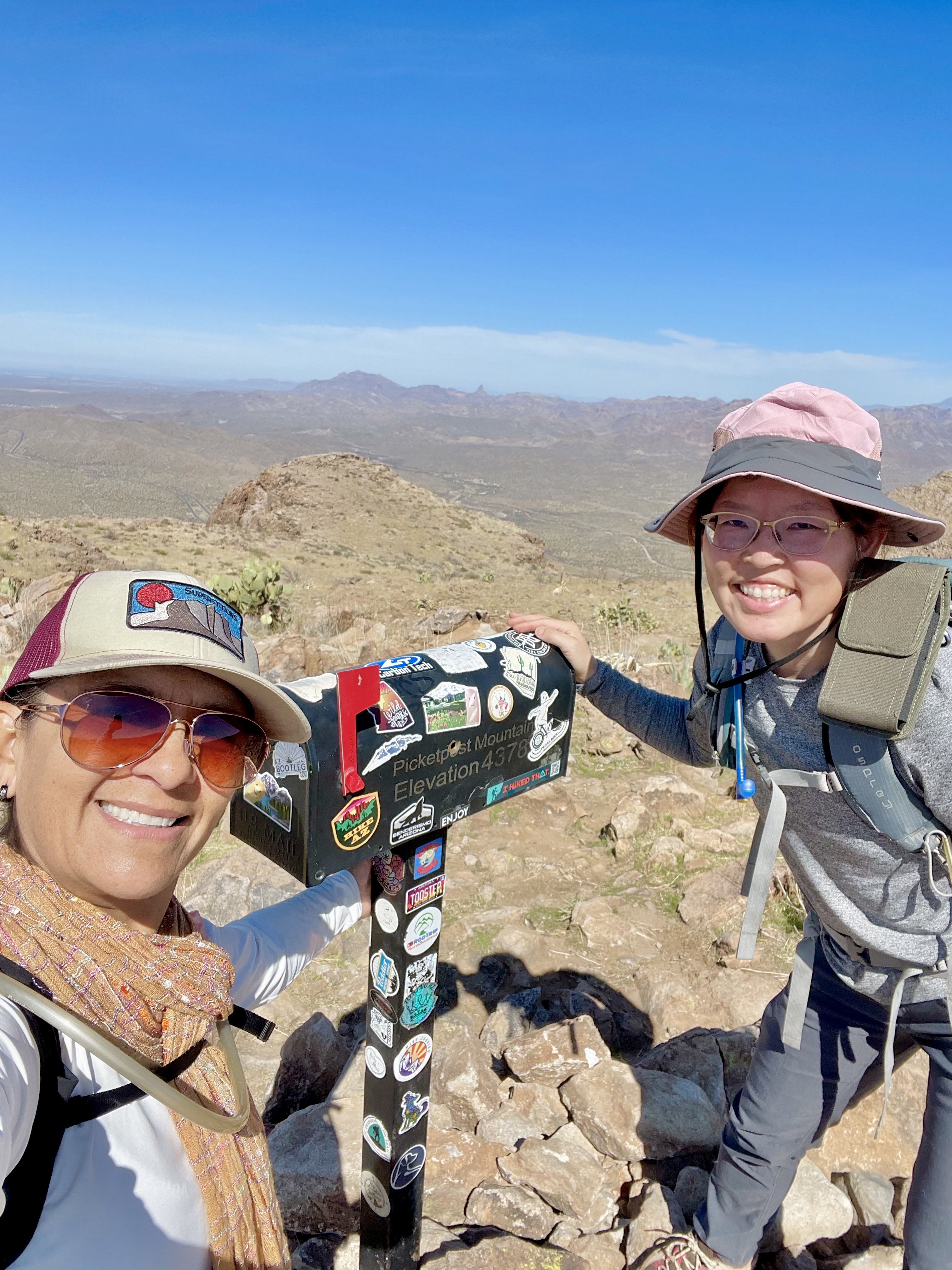
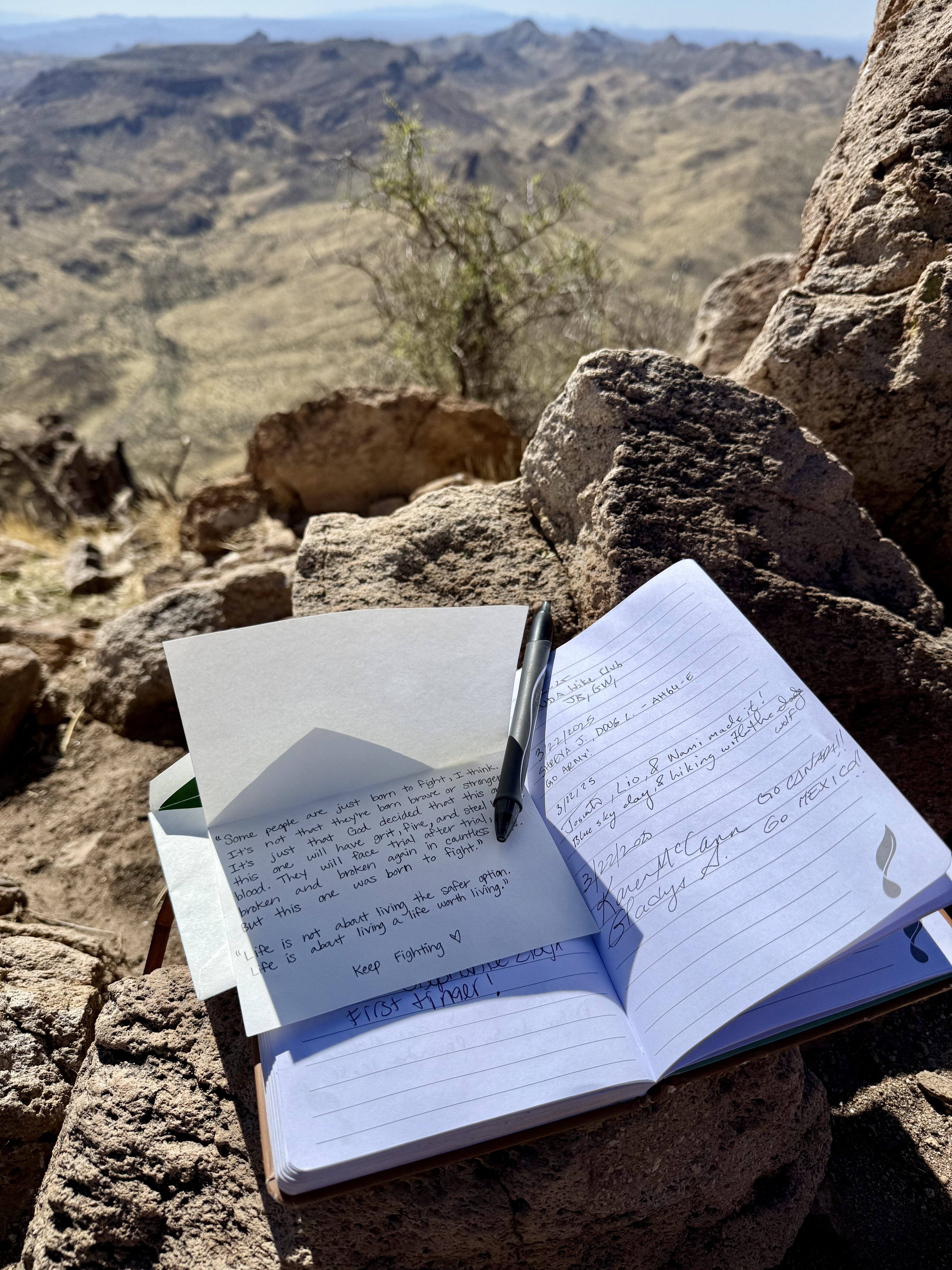
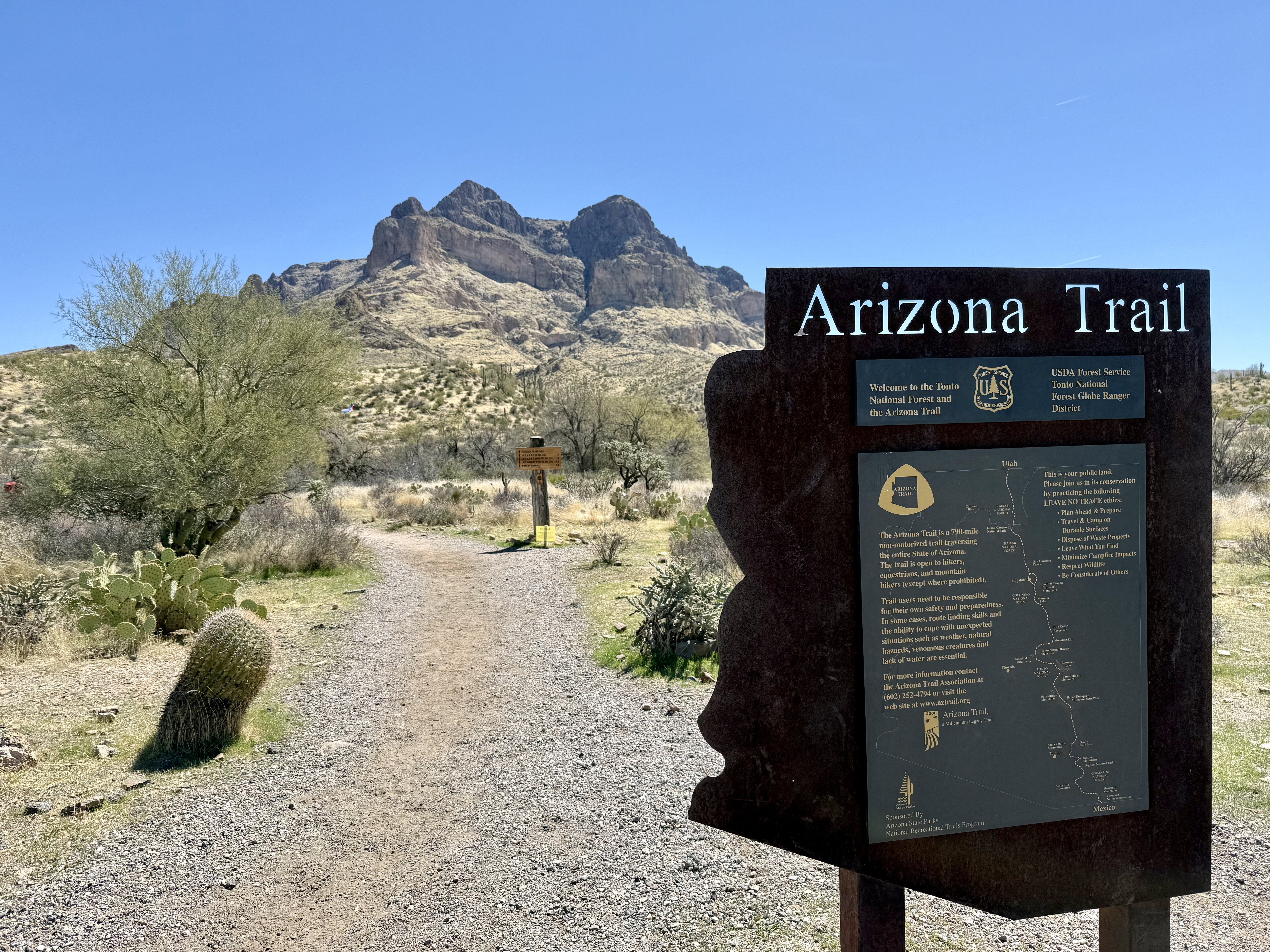
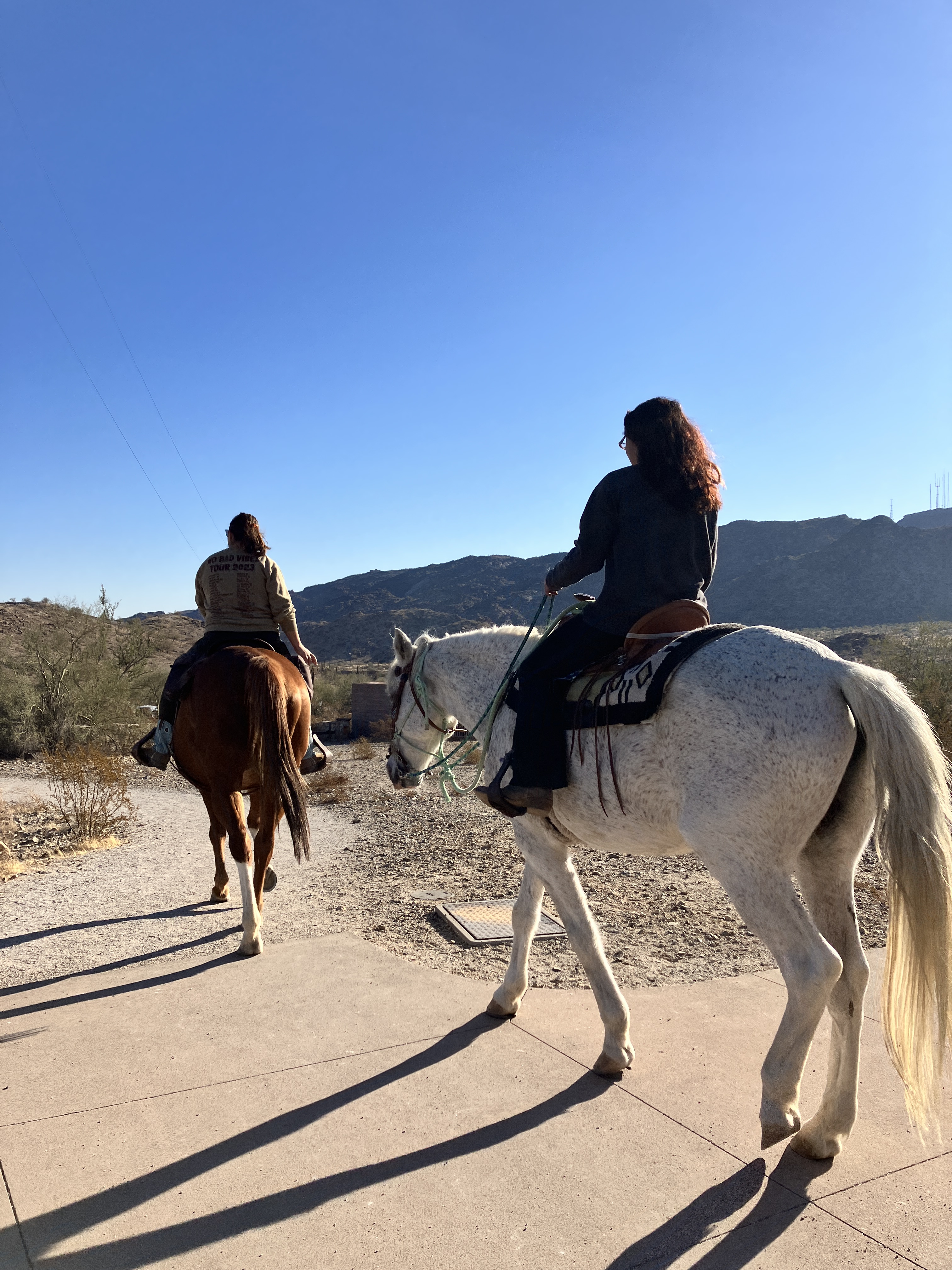
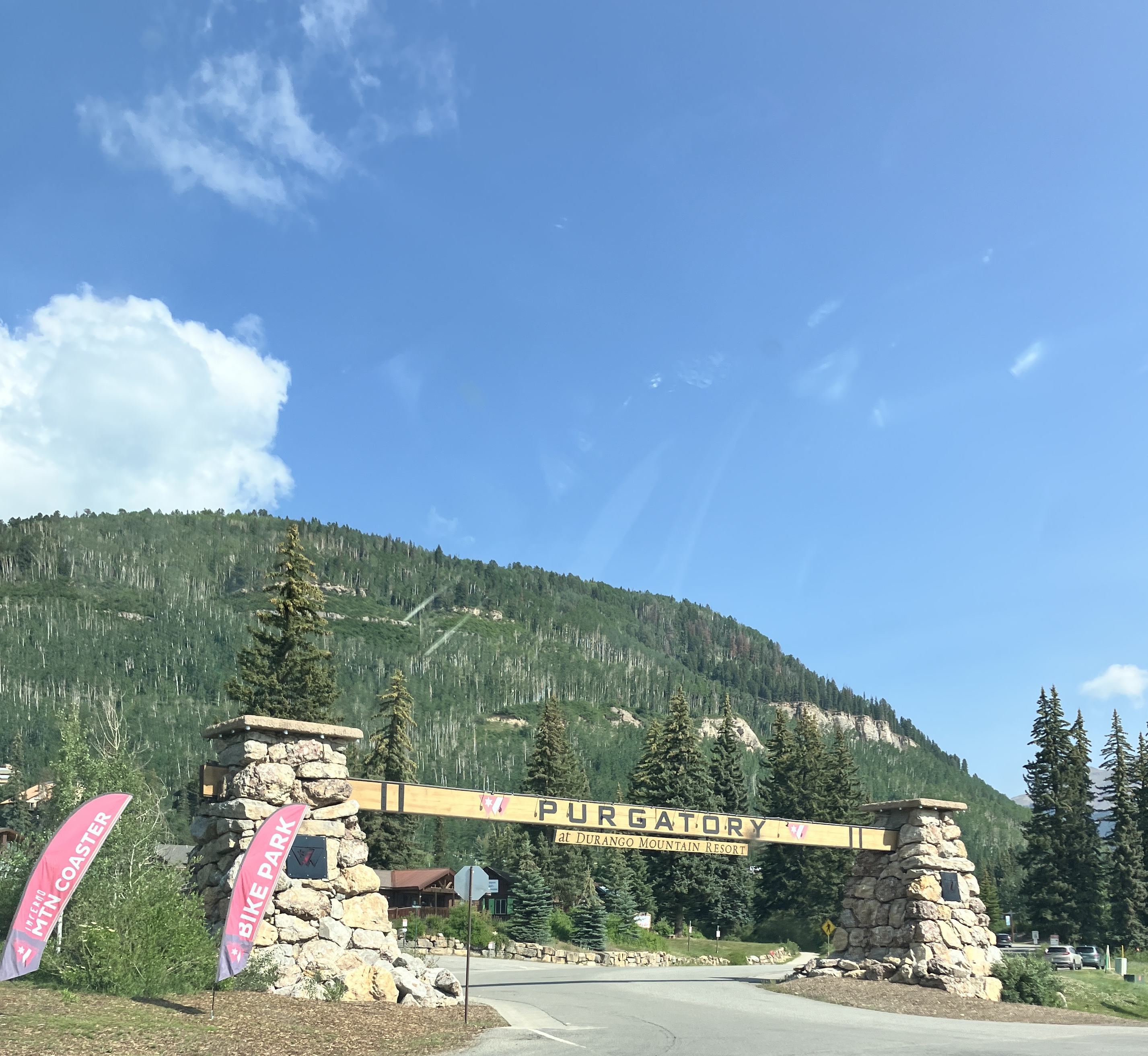
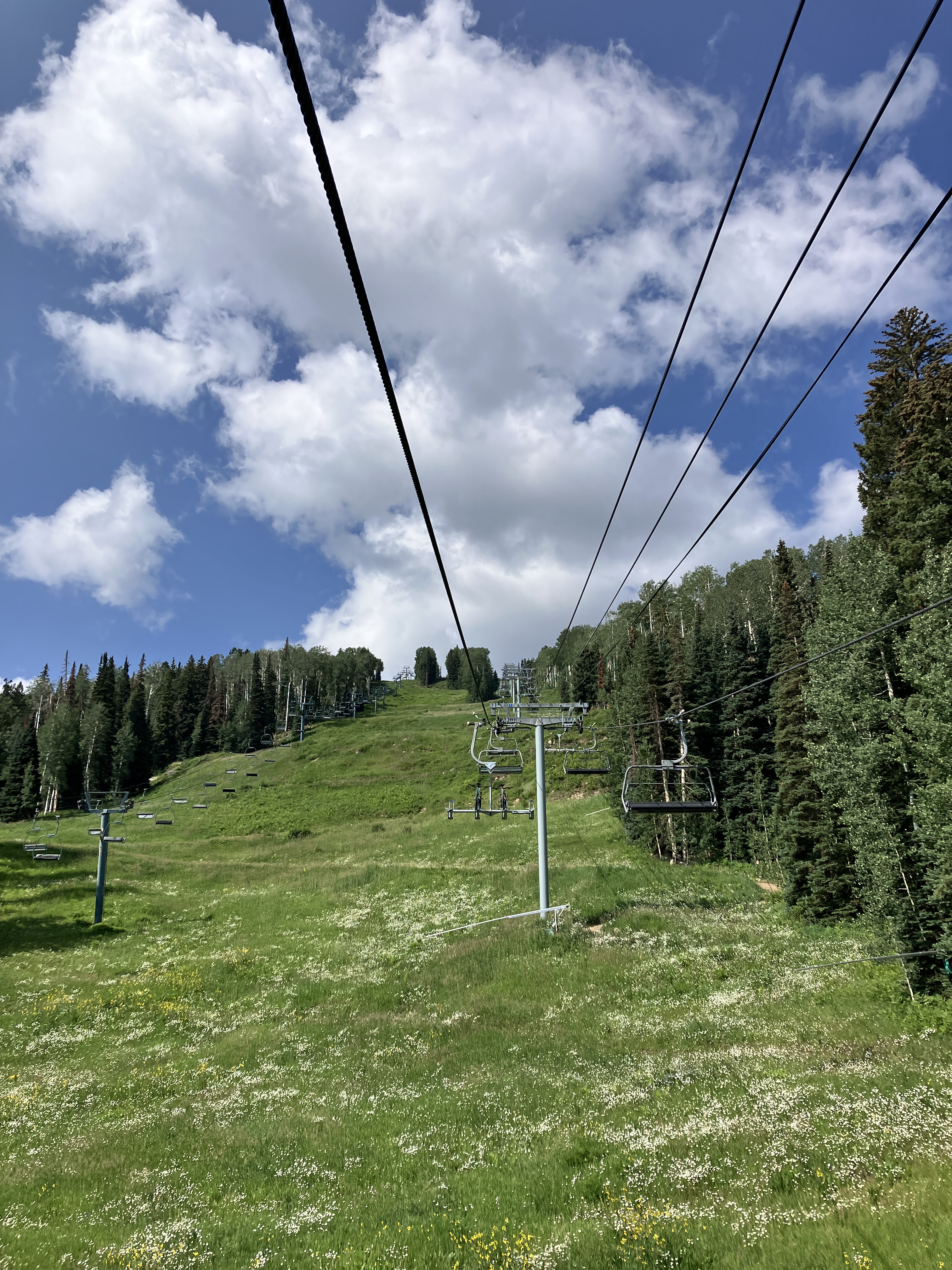
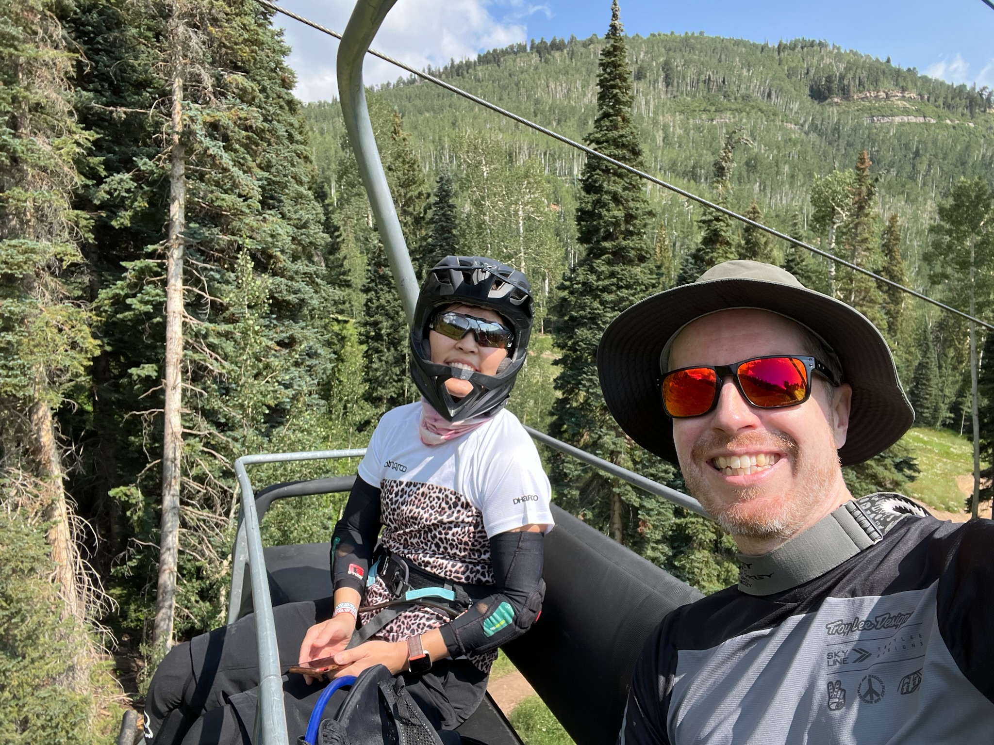
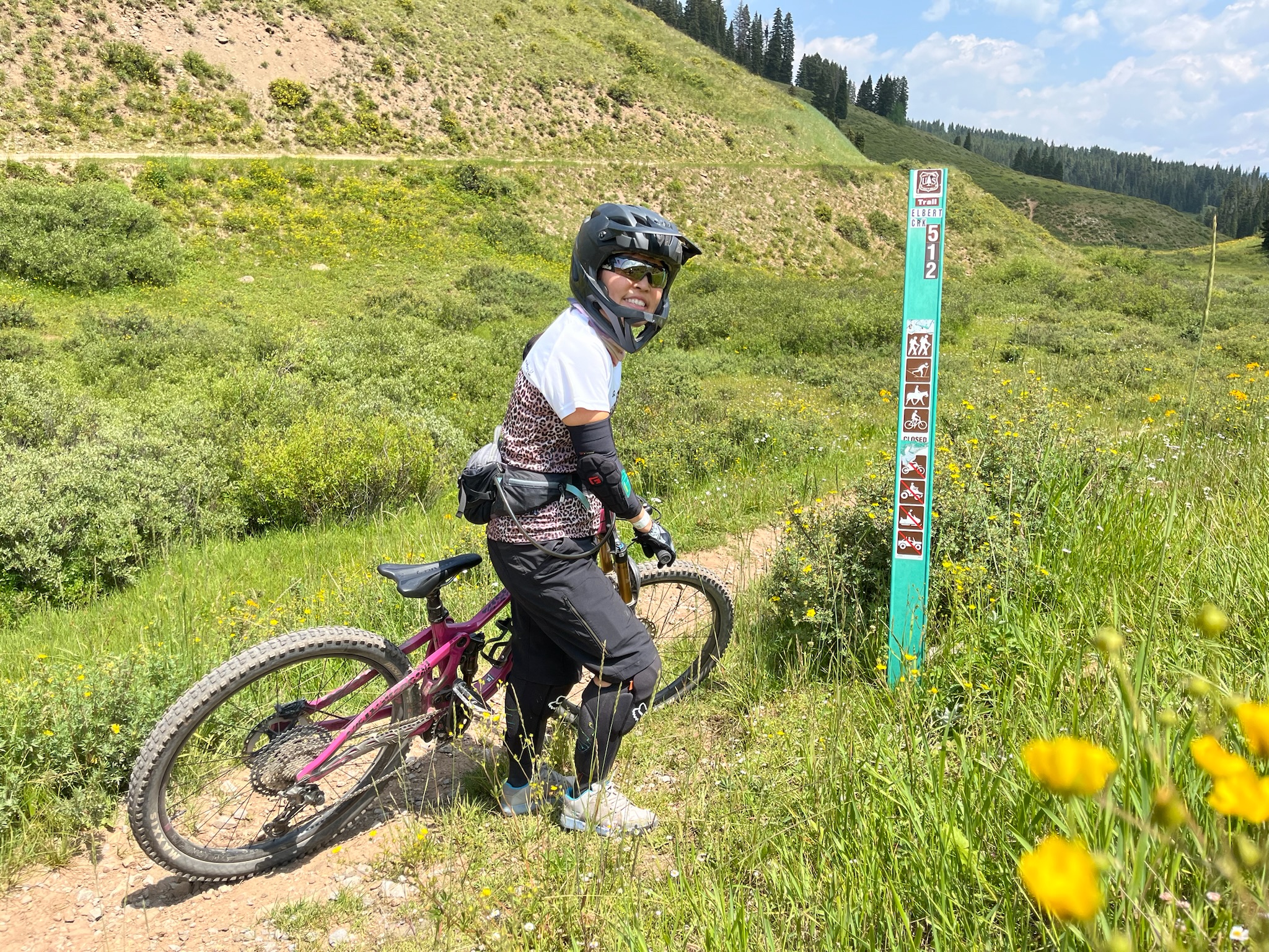
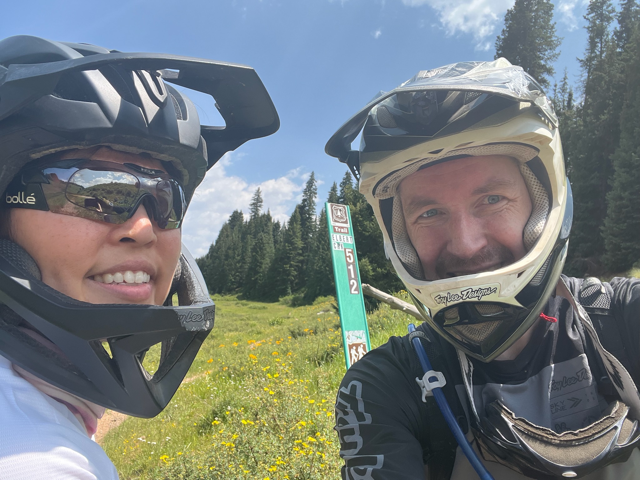
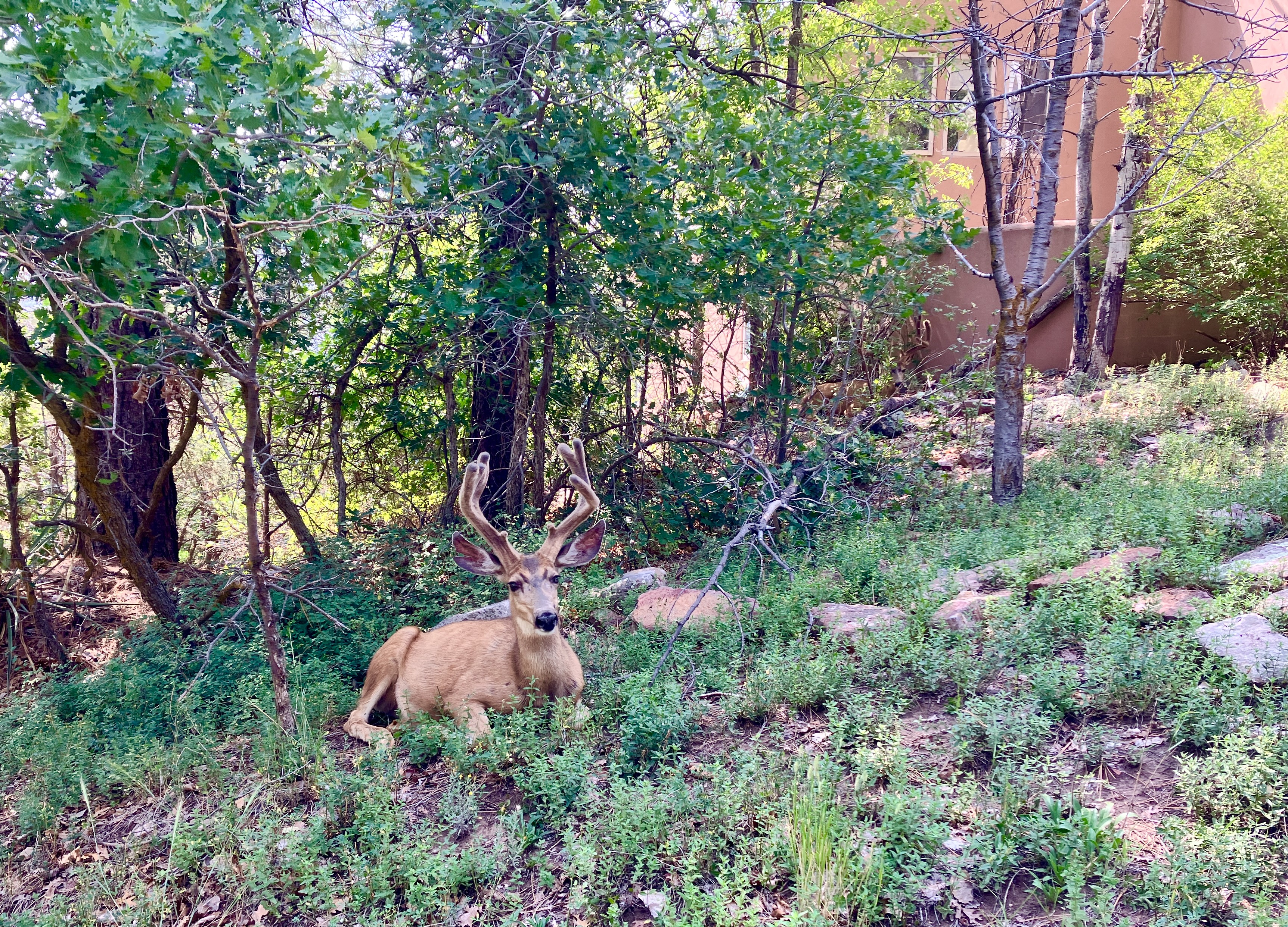
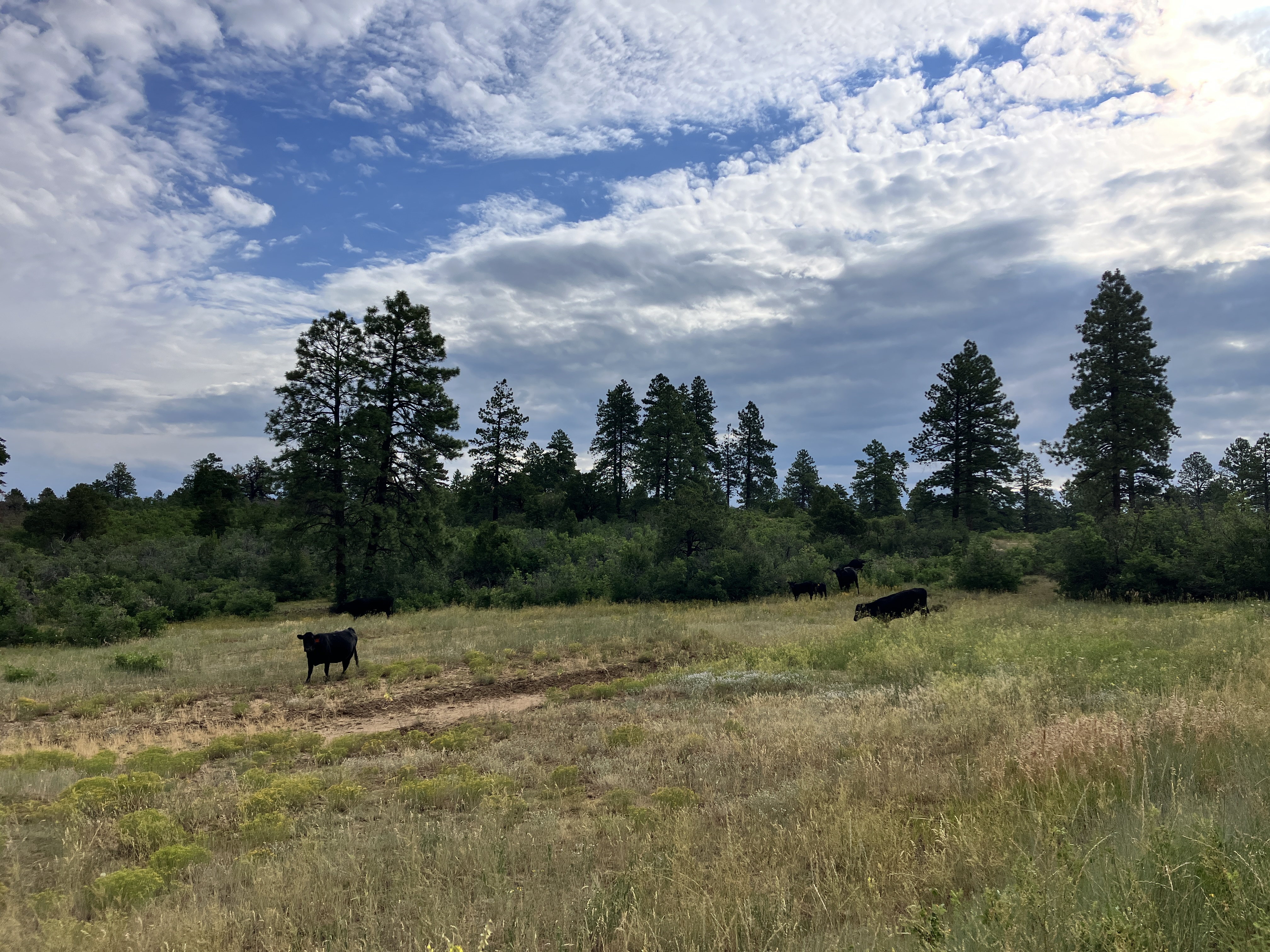
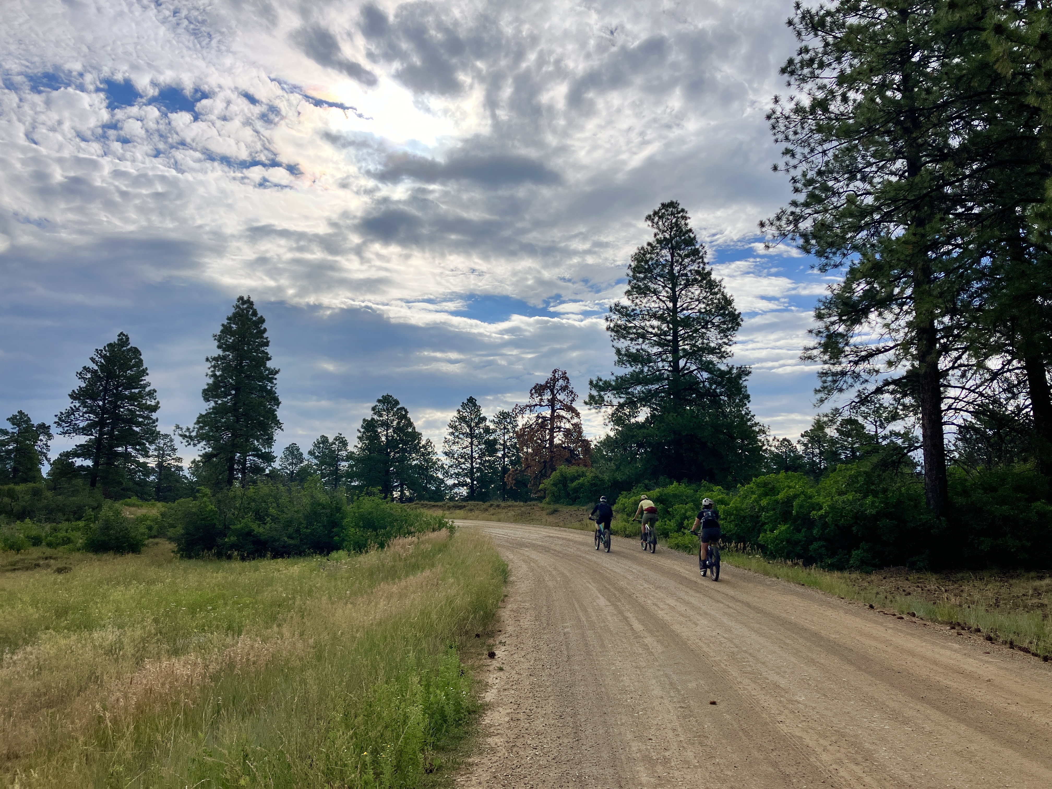
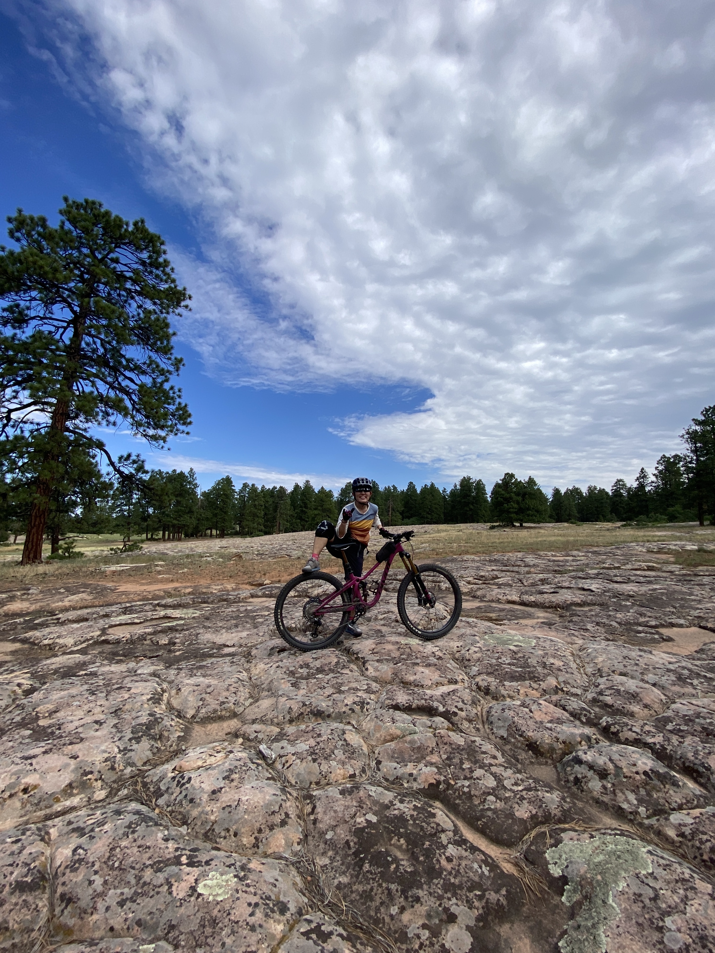
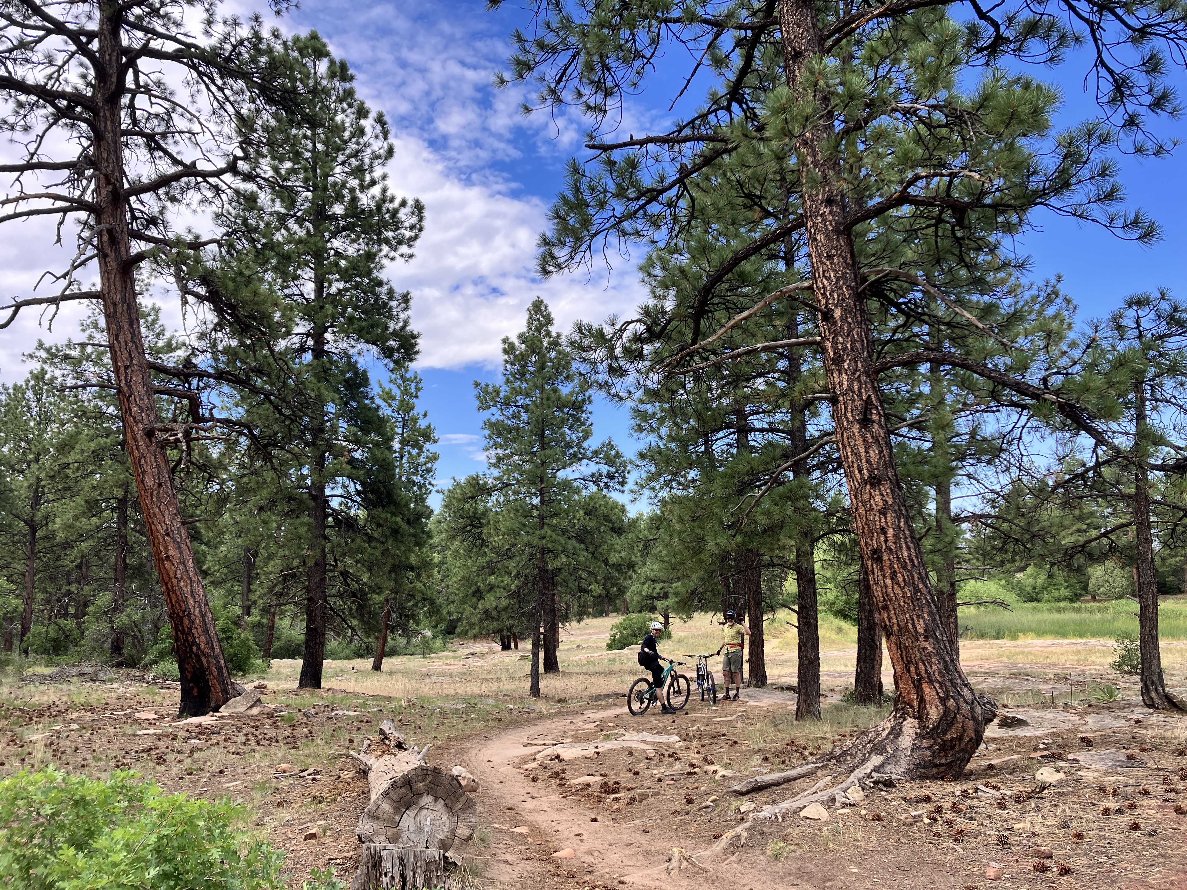
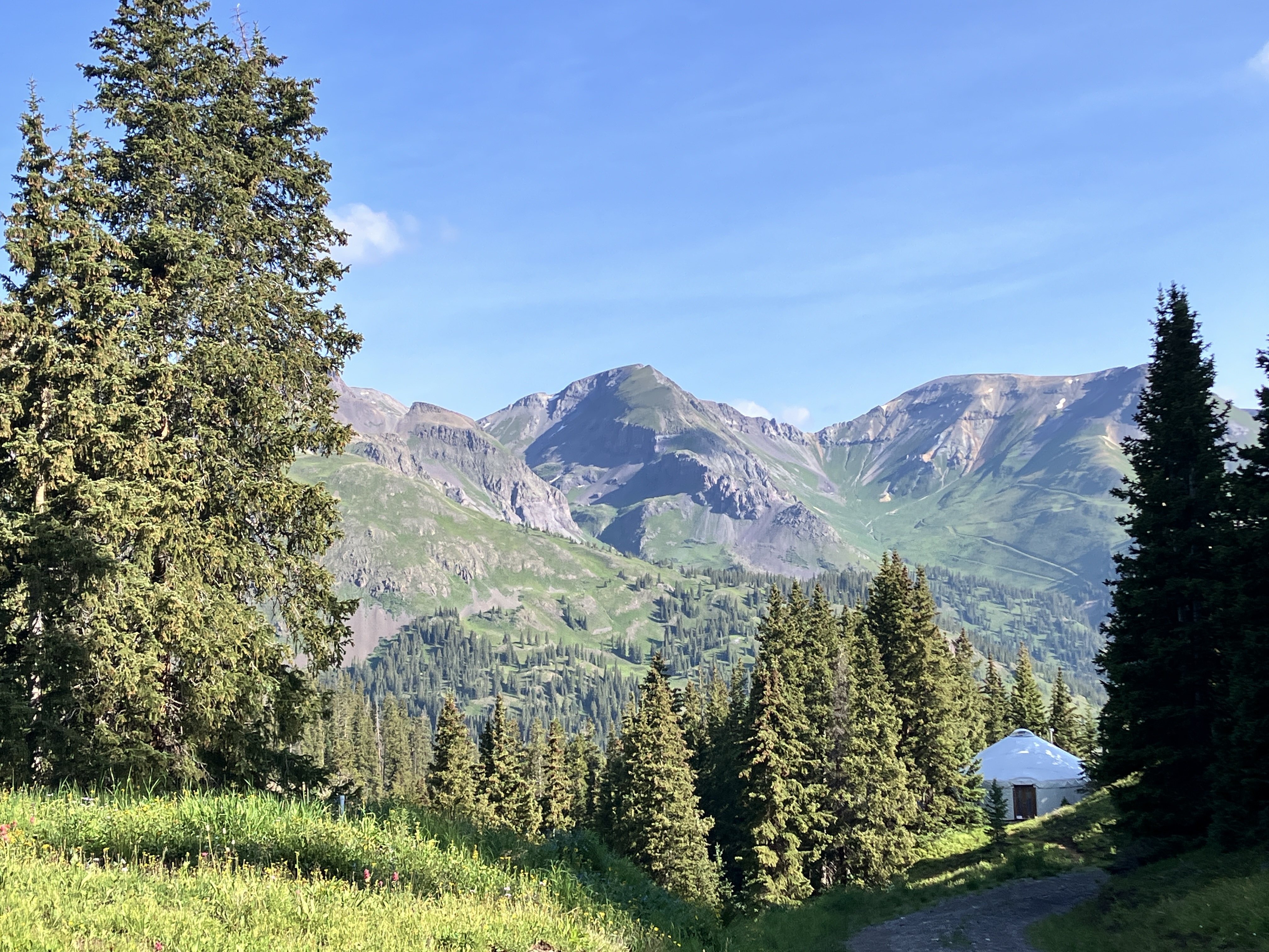
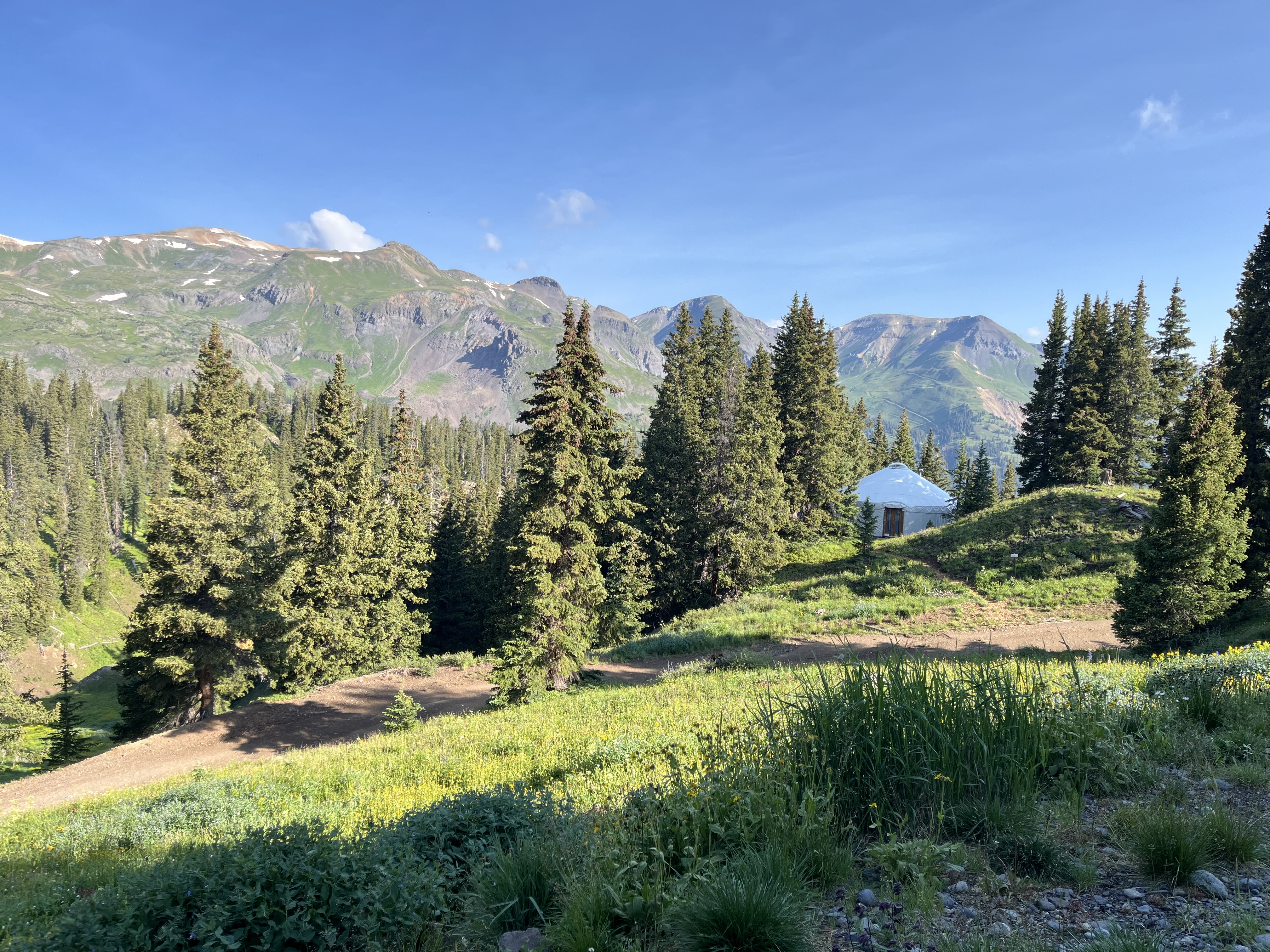
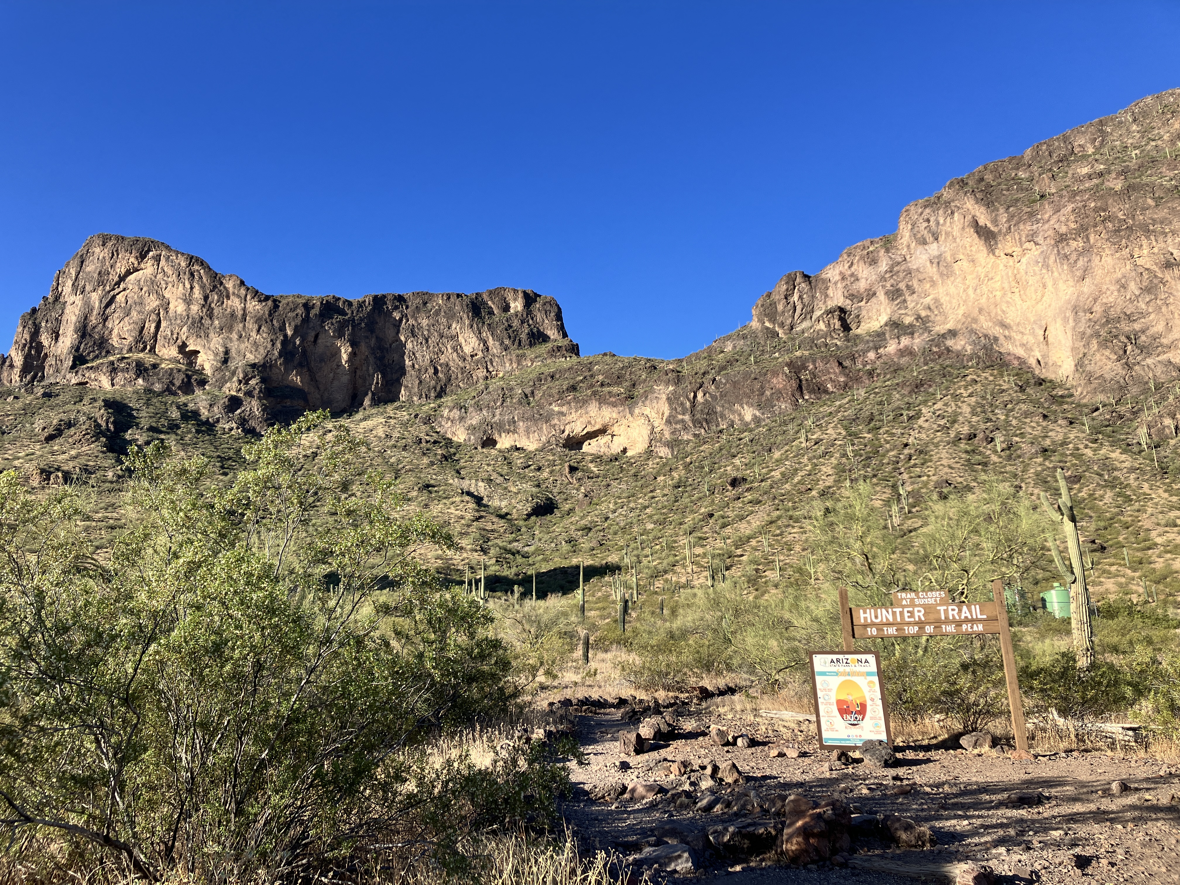
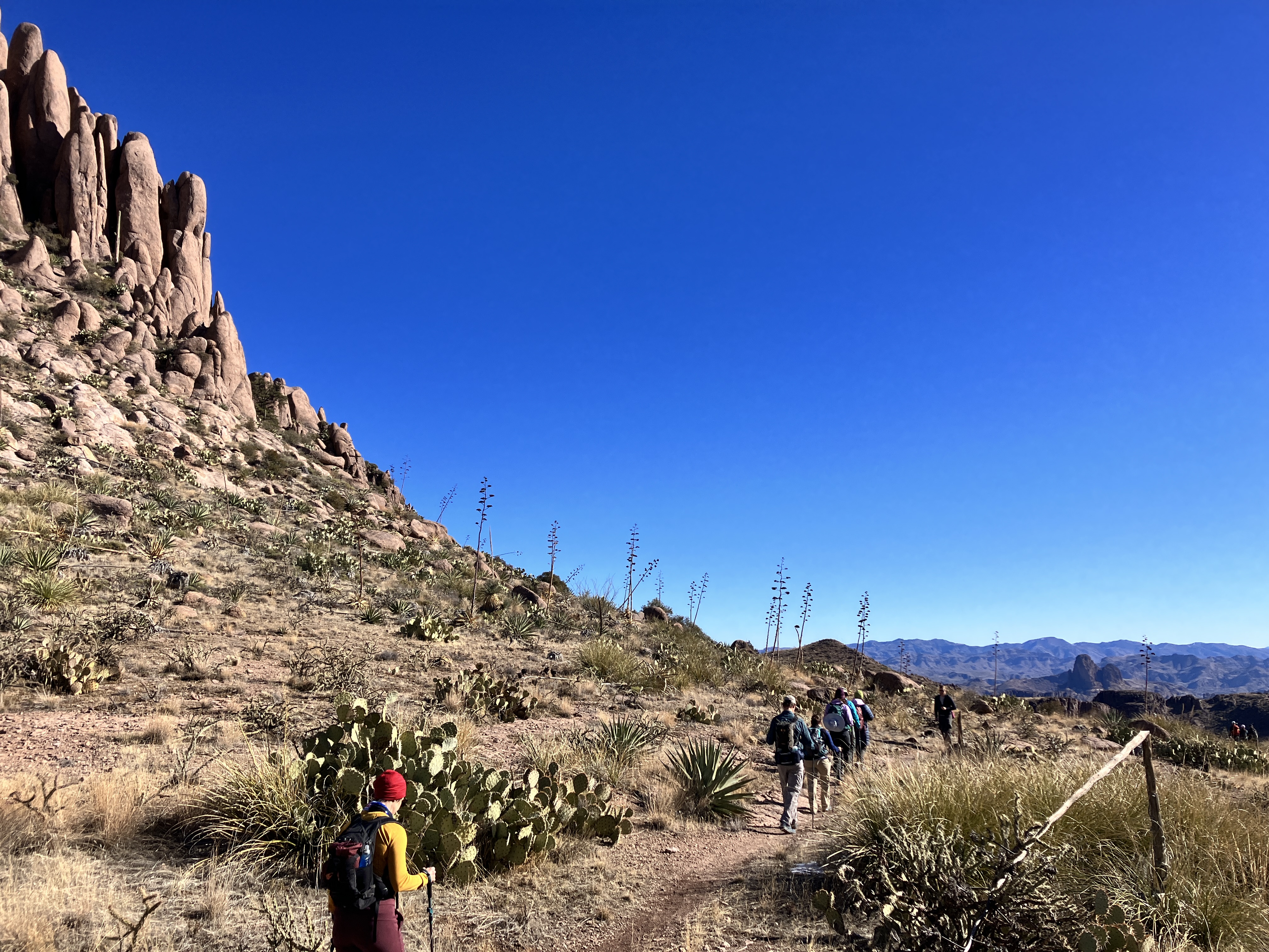
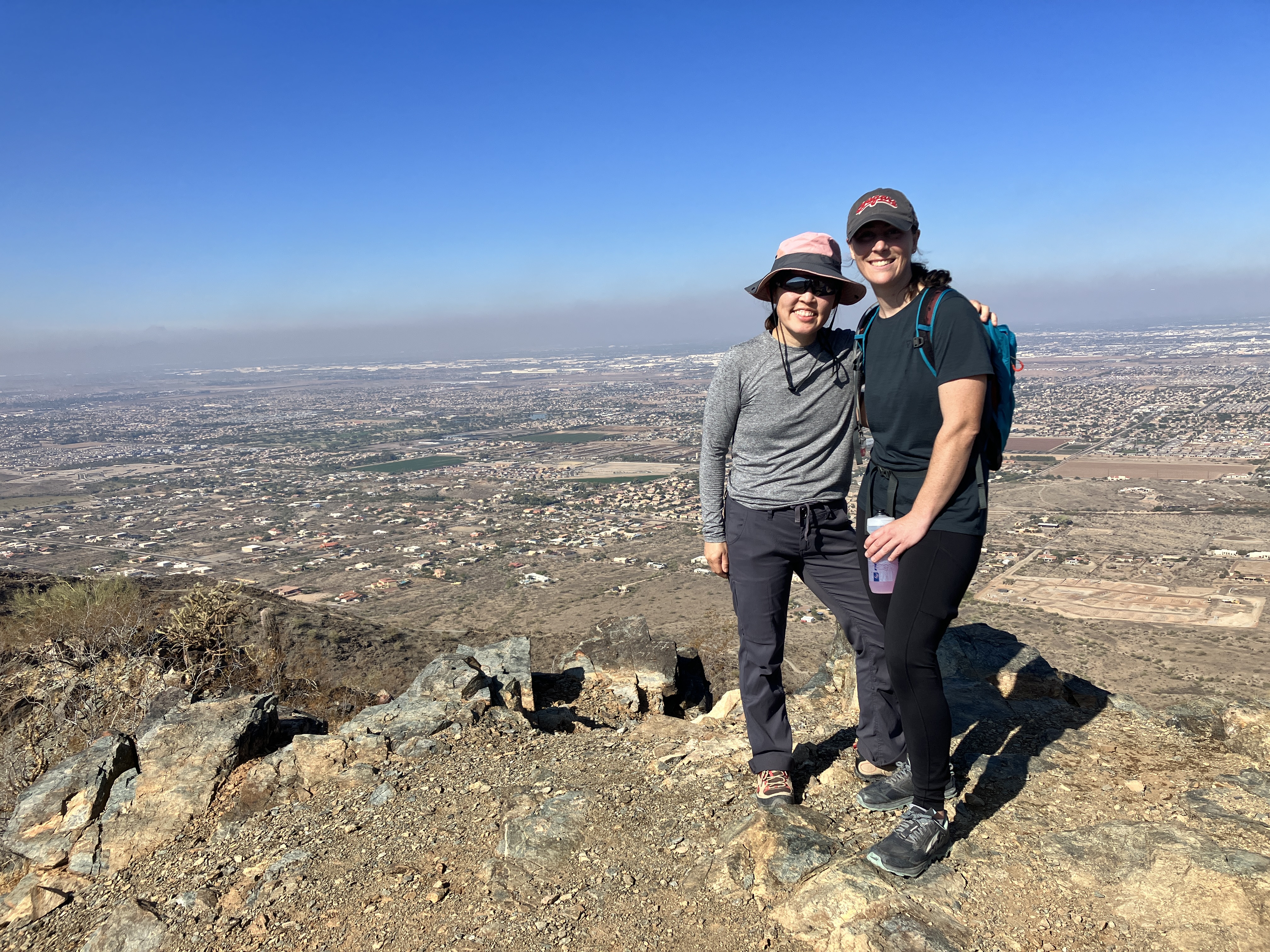
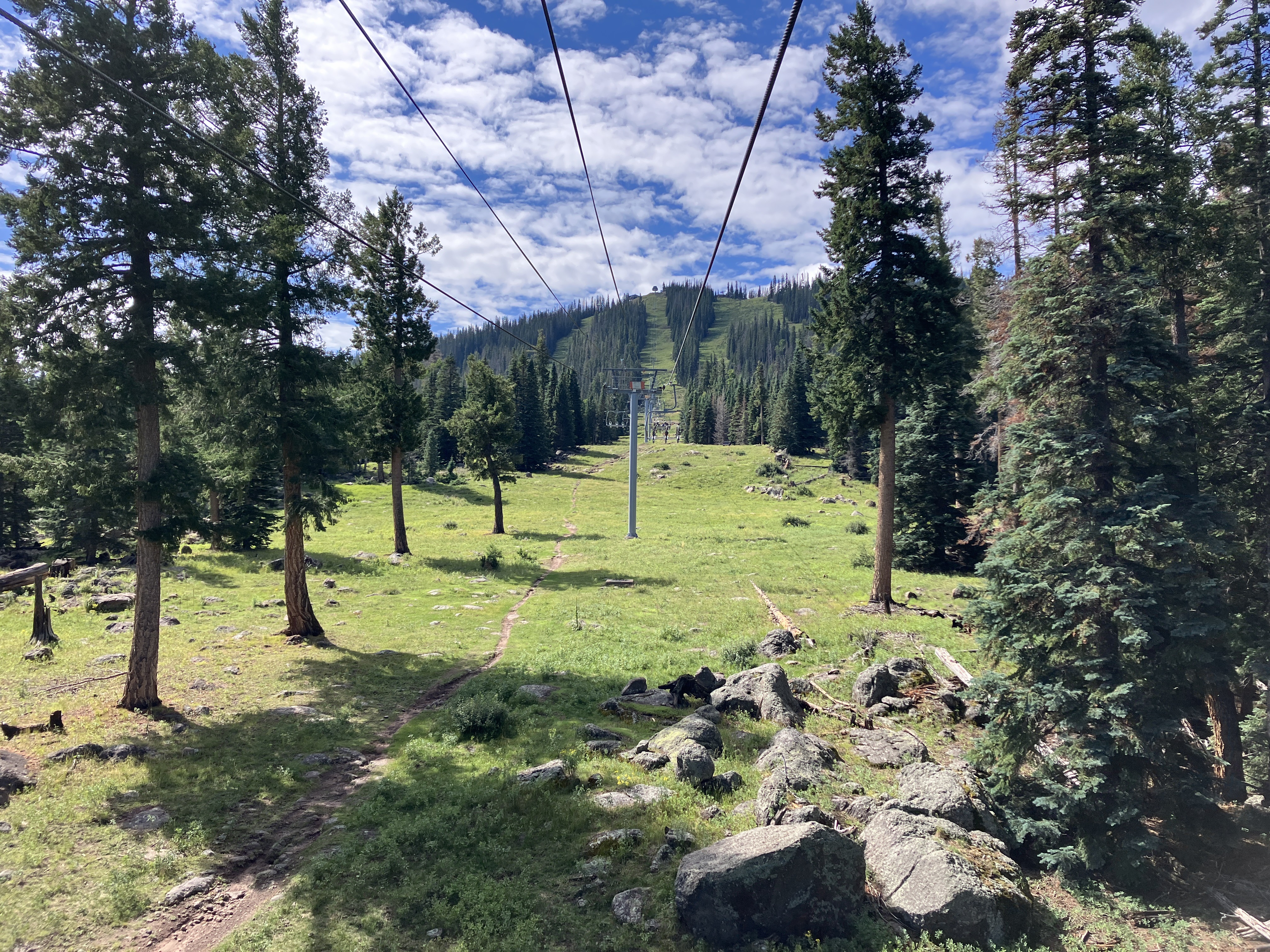
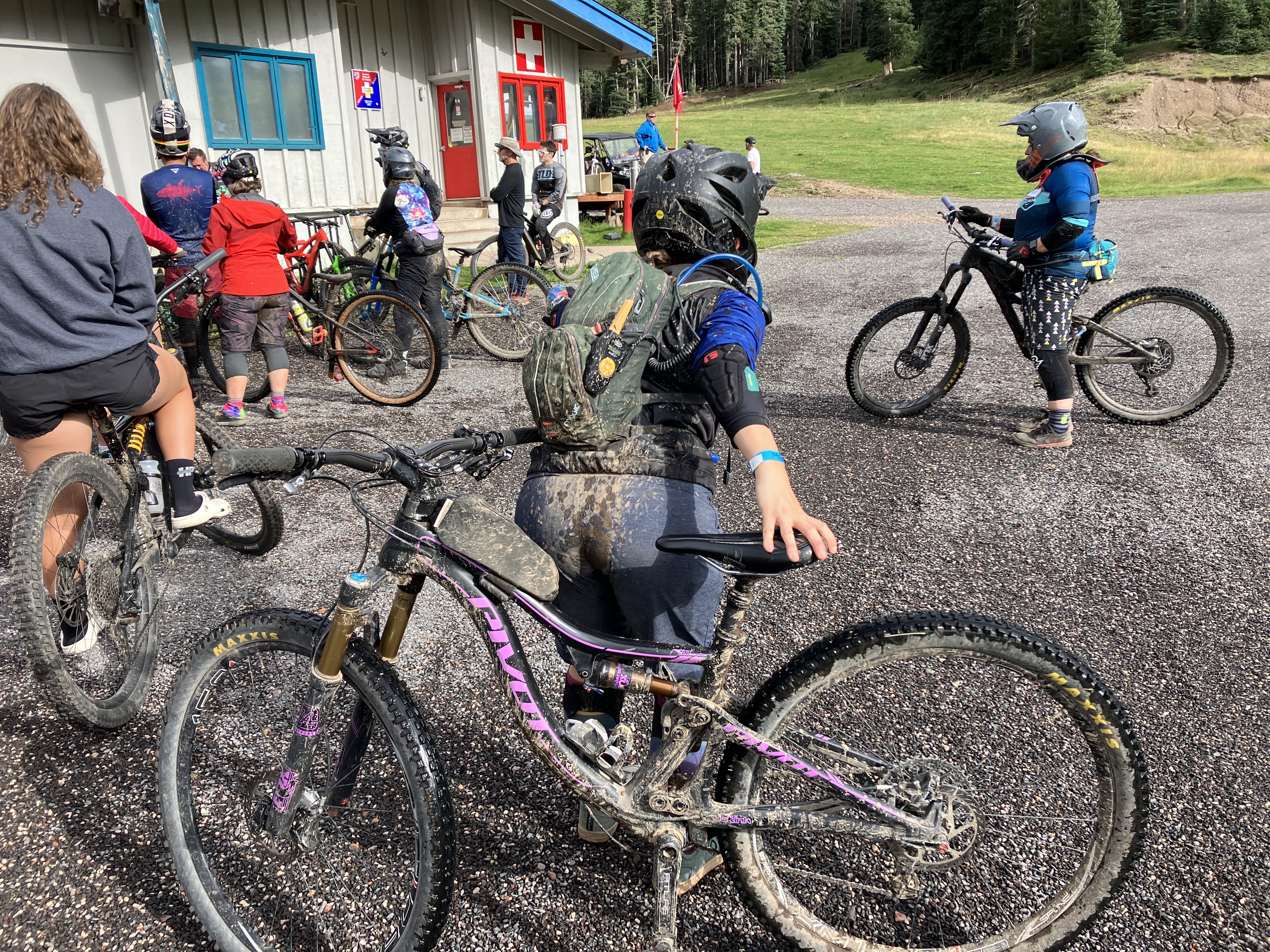
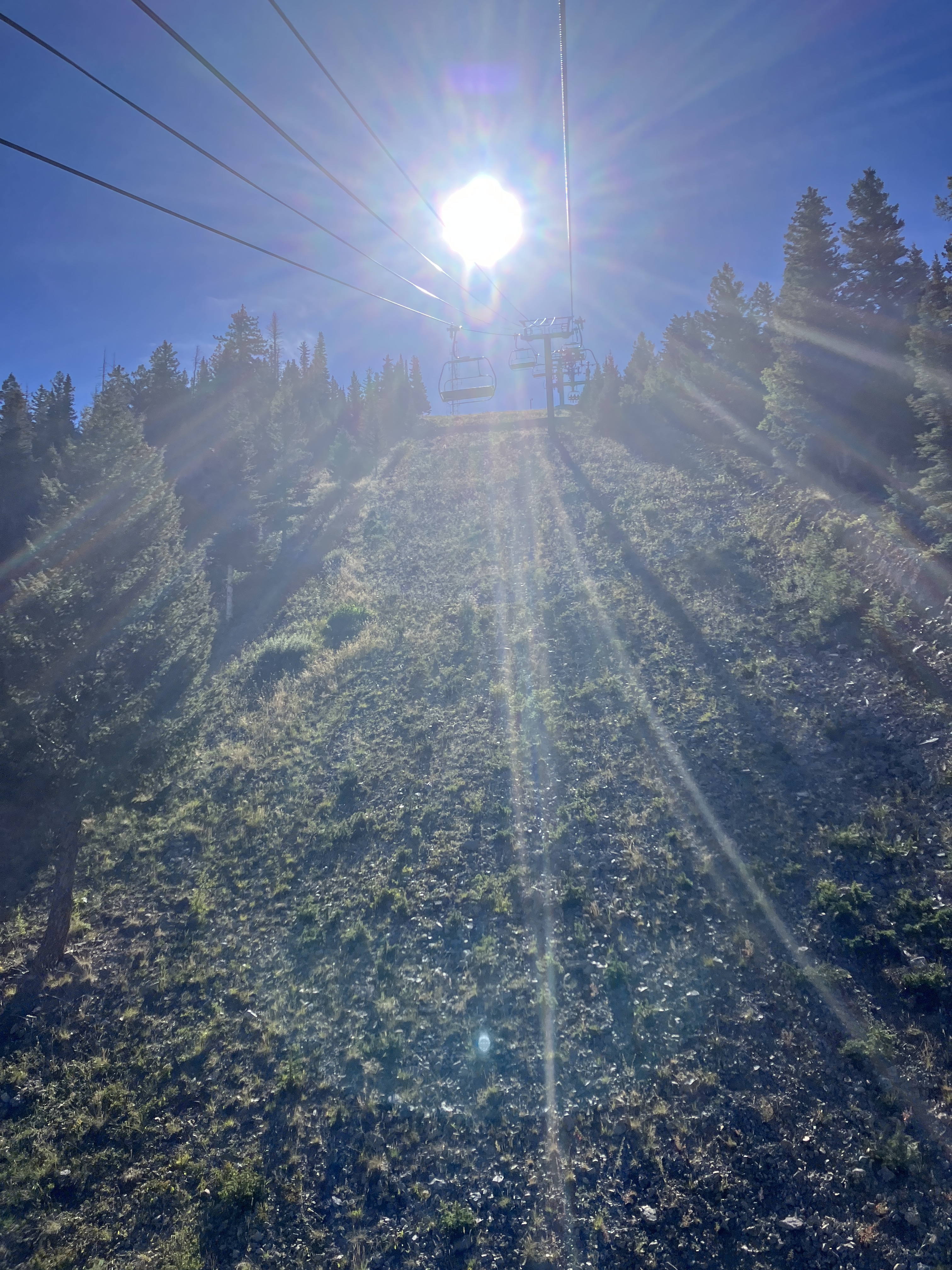
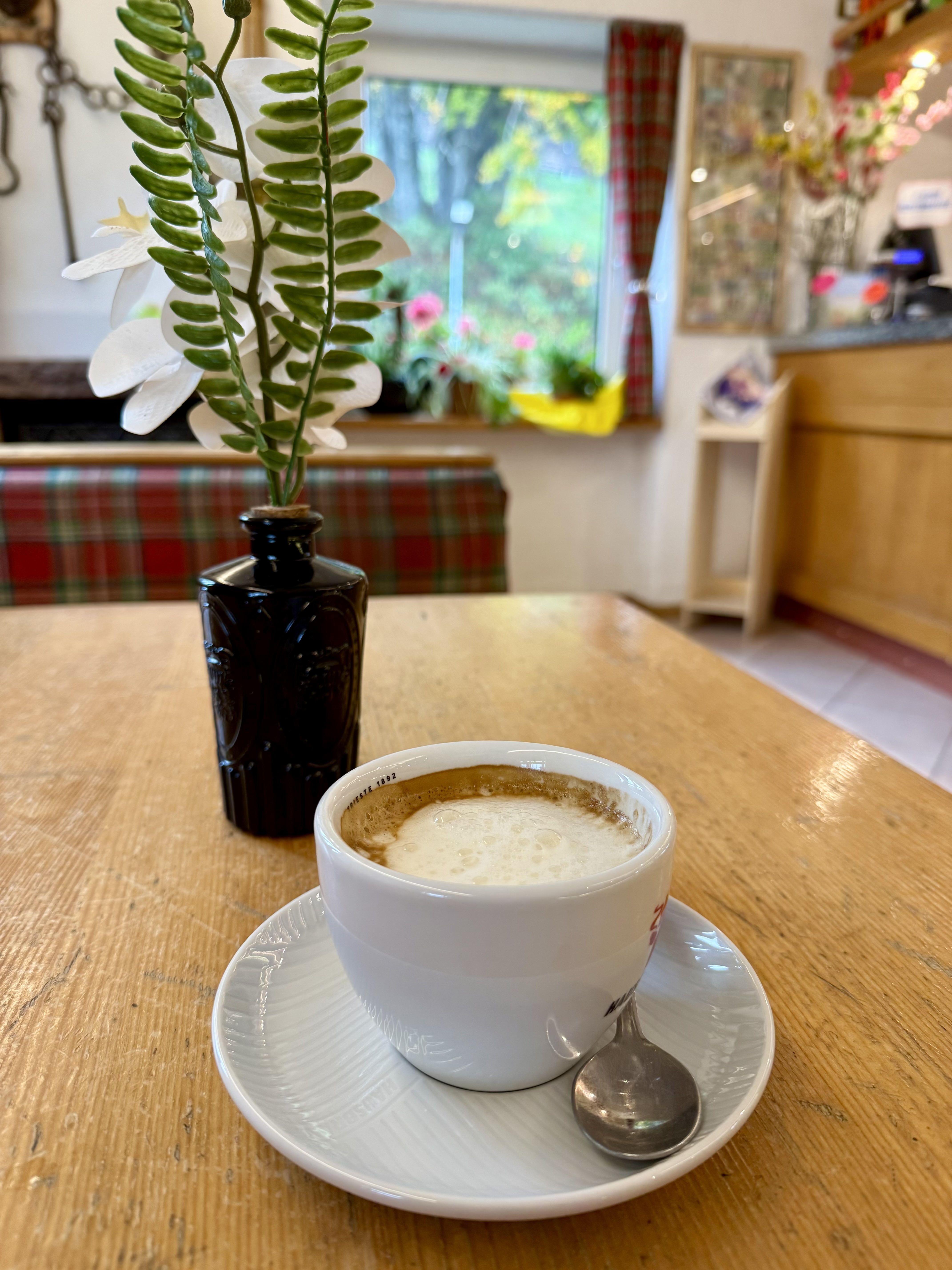
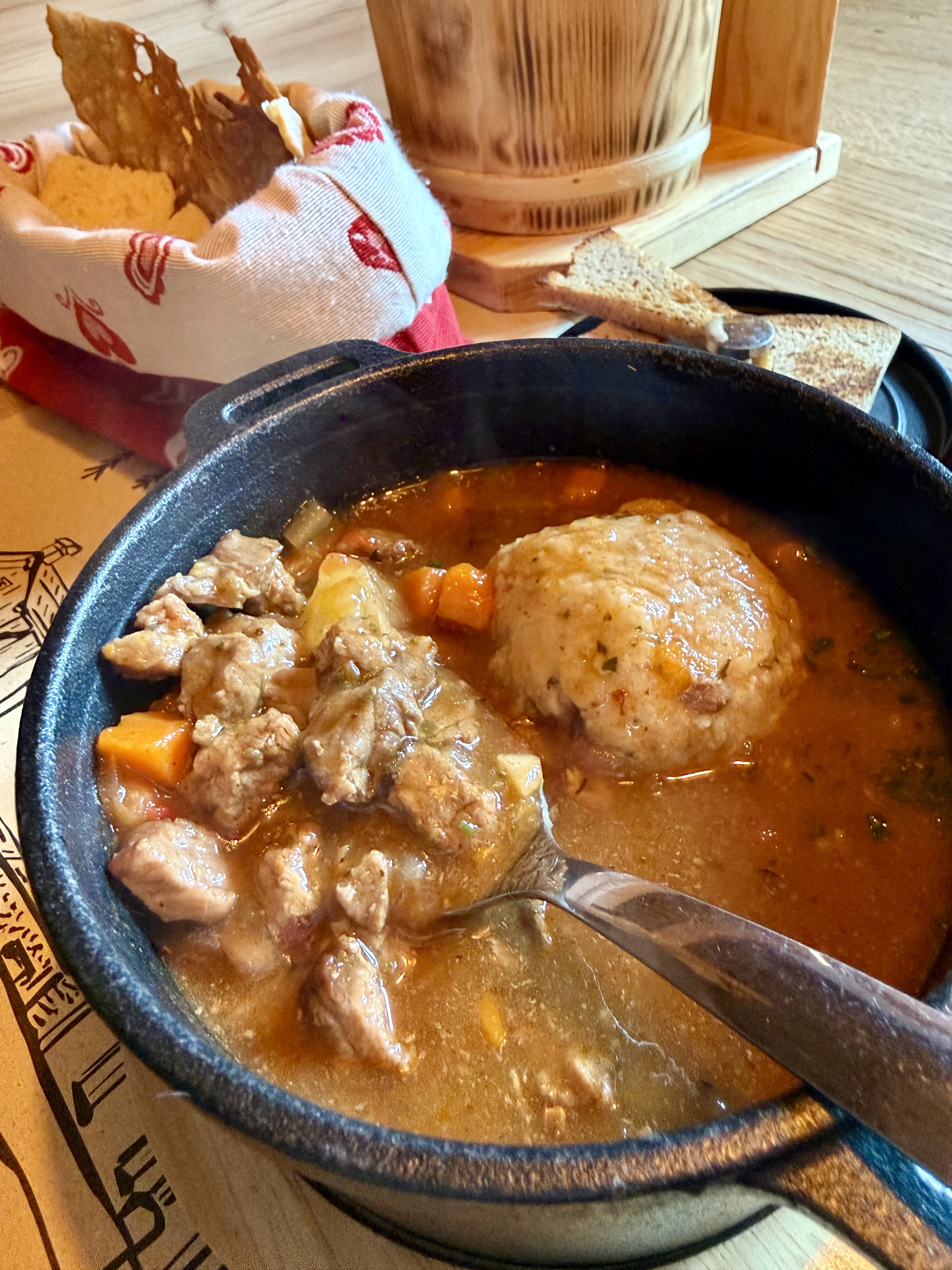
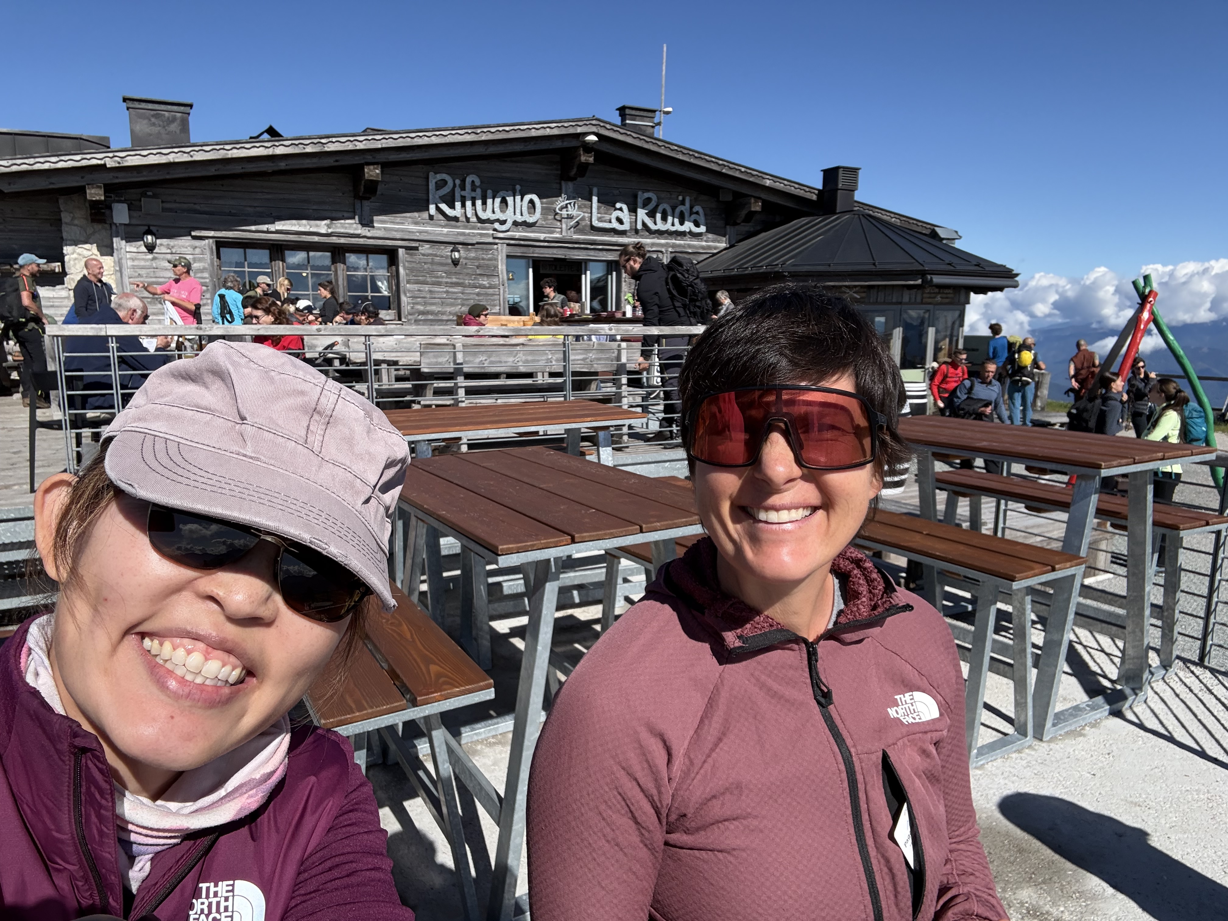
Today was the day before the big race, so Vanessa decided to pre-ride the bike course. While she did that, I took the Molveno gondola to the top and did a short hike. I planned on doing a bigger hike tomorrow that started at the top of the gondola and thought doing some reconnaissance work would be a good idea. One of the cool things I learned while in Italy is that many alpine trails feature “rifugios,” i.e., mountain huts that offered food and (sometimes) accommodation). Essentially, these huts were little cafes and were found every few miles or so. This is great because instead of packing a ton of food on your hike, you could plan to eat a meal at a hut! There was one such rifugio at the top of the gondola and I treated myself to a cappuccino (my first “rifugio” coffee!).

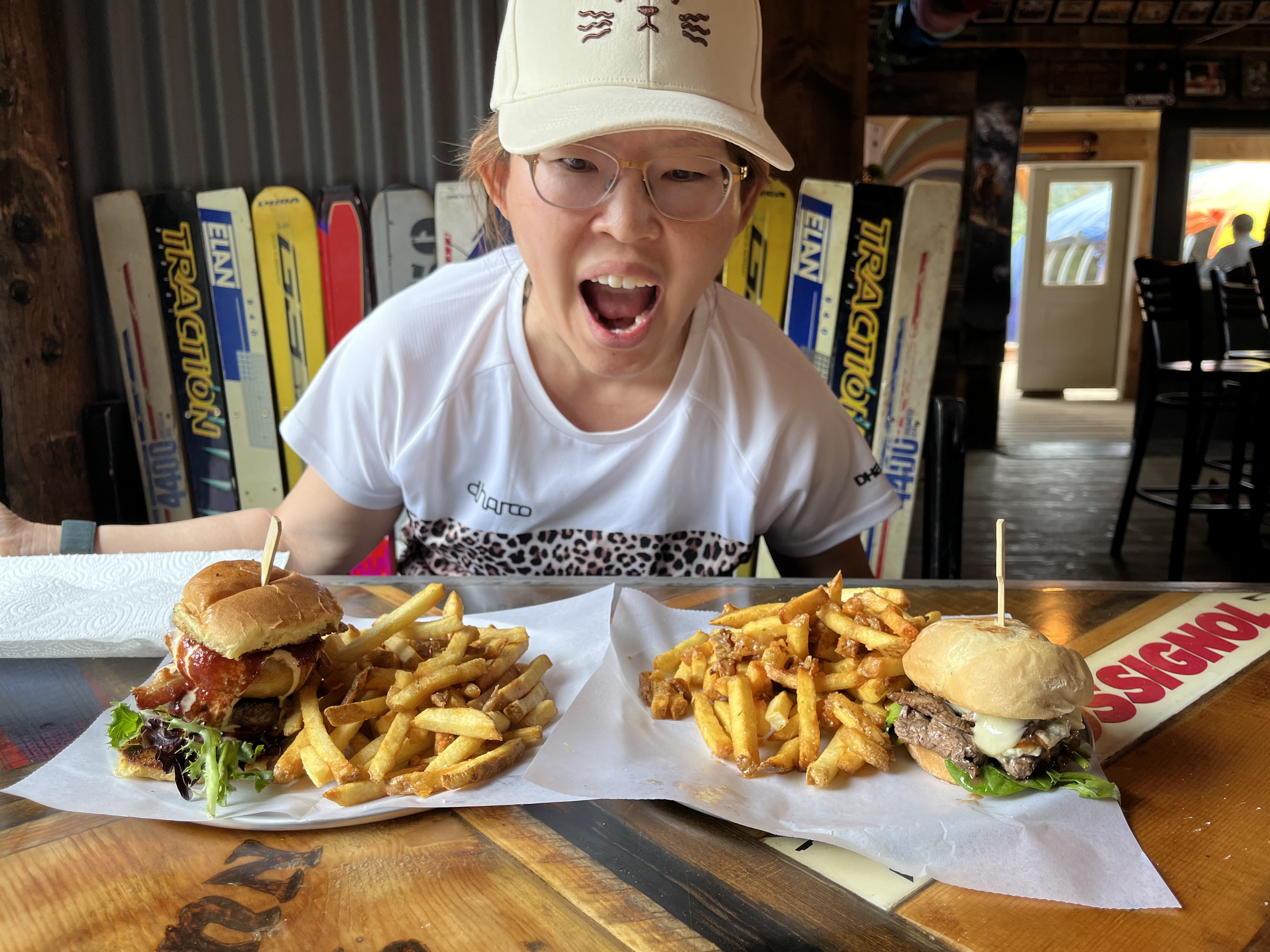
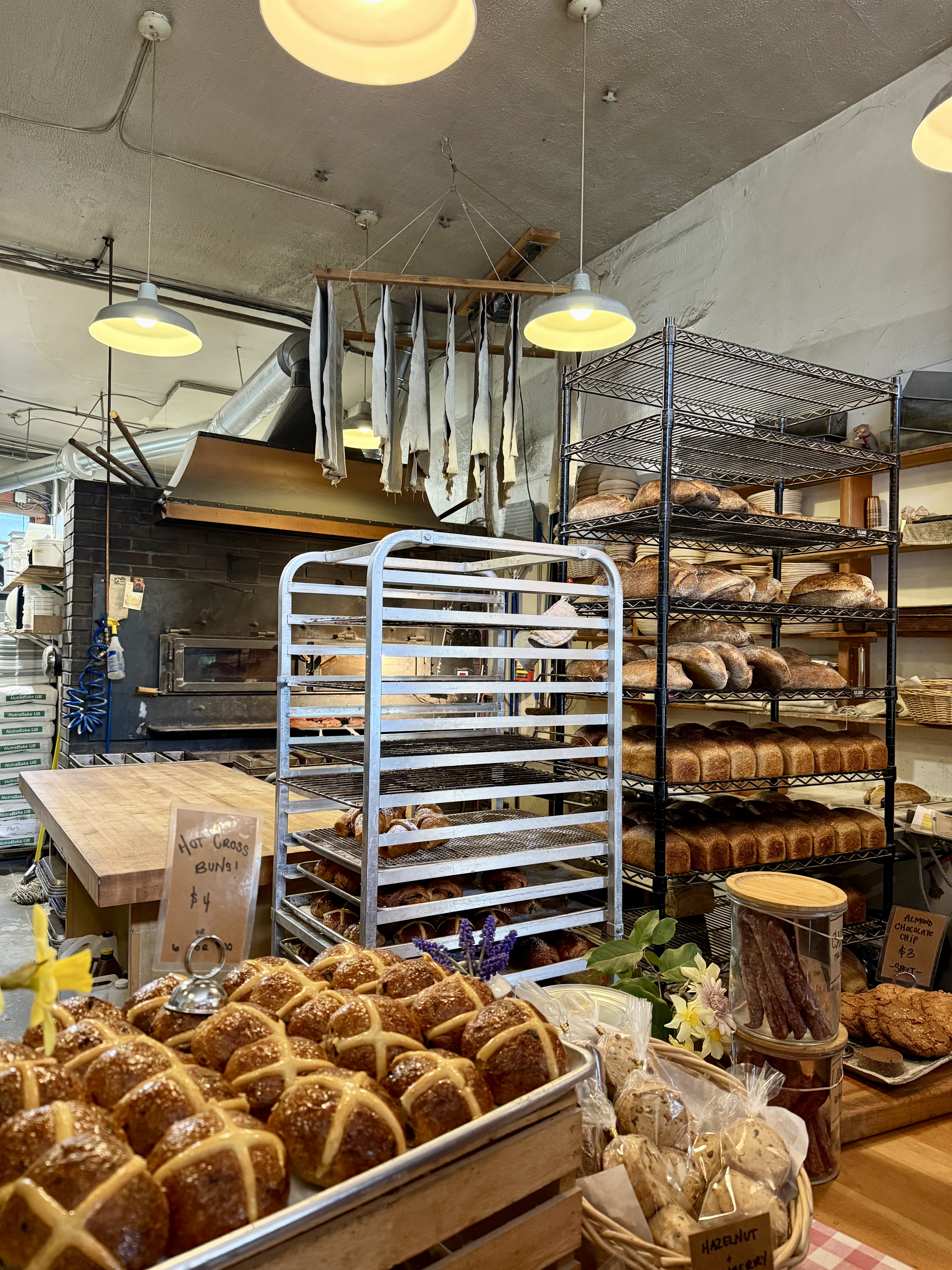
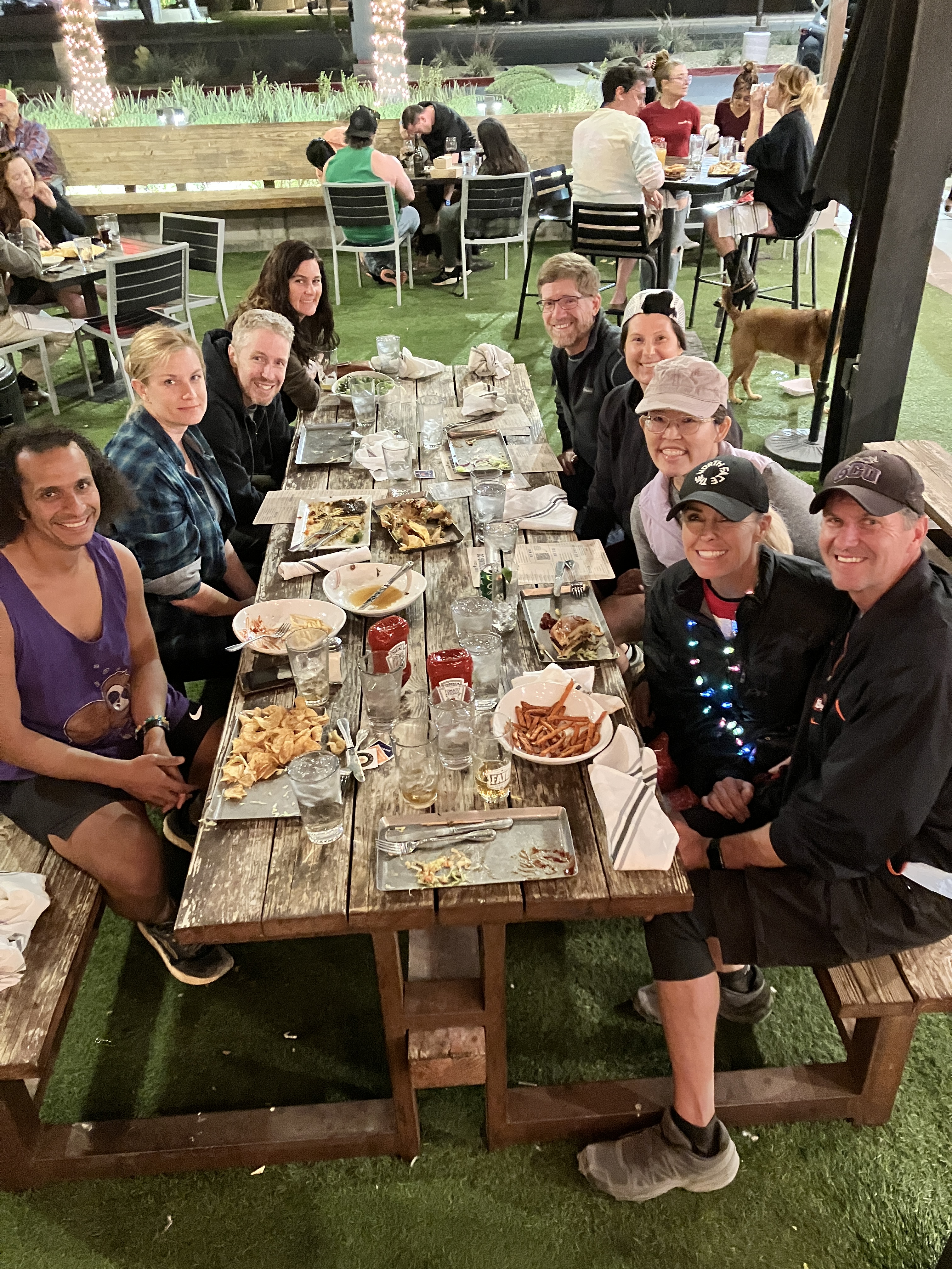
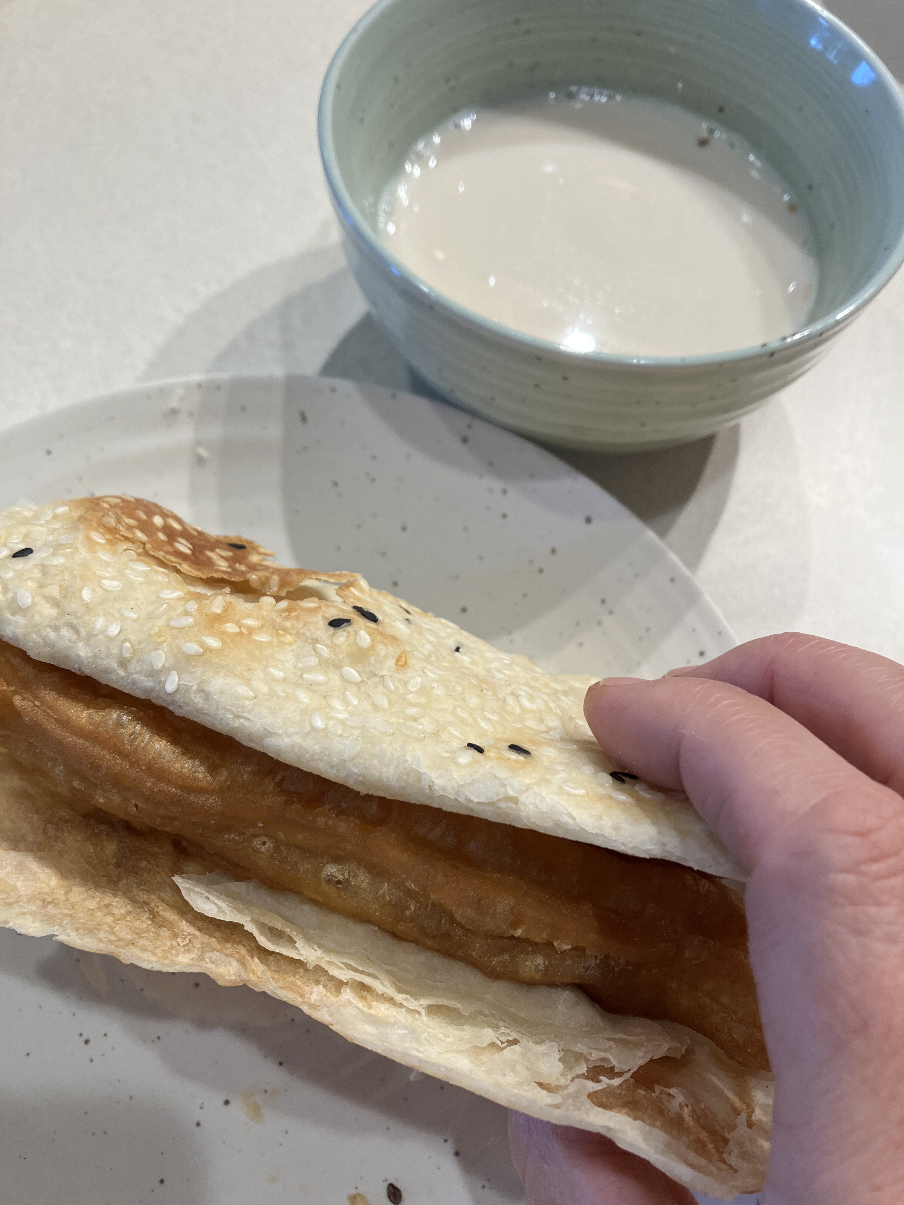
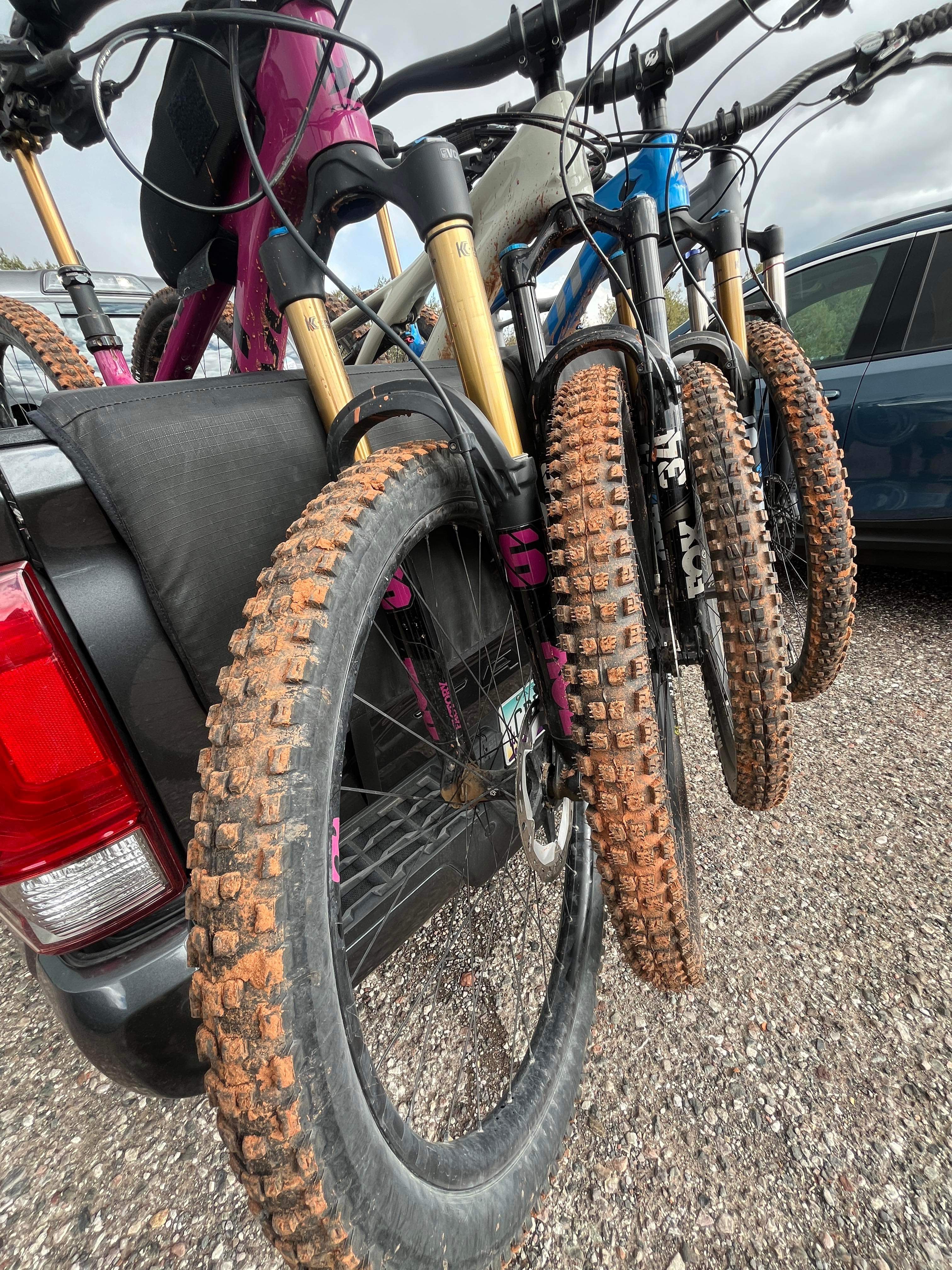
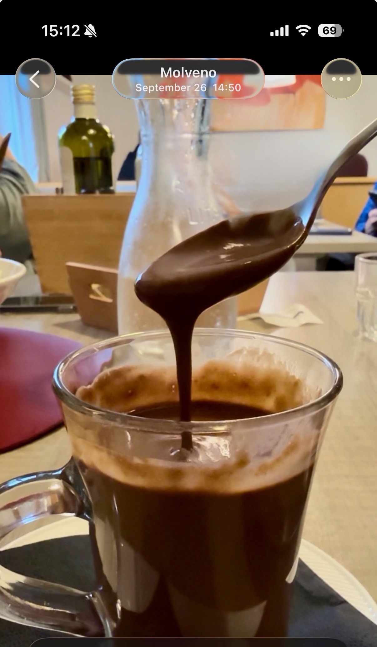
After my little hike, I took the gondola back down to the village and met up with Vanessa at our hotel. The weather was pretty rainy, which resulted in SO MUCH MUD. Vanessa was so muddy that she showered while wearing all of her biking clothes and gear, helmet included. This does not bode well for the race tomorrow….When V was all cleaned up, we met up with Alex for some absolutely amazing hot chocolate and pastries, then wandered around the race site to get oriented. Surprise of the day was our very nice hotel manager who offered to do our laundry! I asked her if there were any laundry facilities onsite and she said no….but she would do it for us. Wow! **Because of that experience, I learned how to say “thank you for doing my laundry” in Italian, which is a super random phrase to learn, but there you go (and now you know what the title of this blog post means!). Another fun fact: breakfast was included in our hotel stay and it was quite the spread (see video below). Much better than the “free breakfasts” provided at American hotel chains!

Saturday September 27, 2025

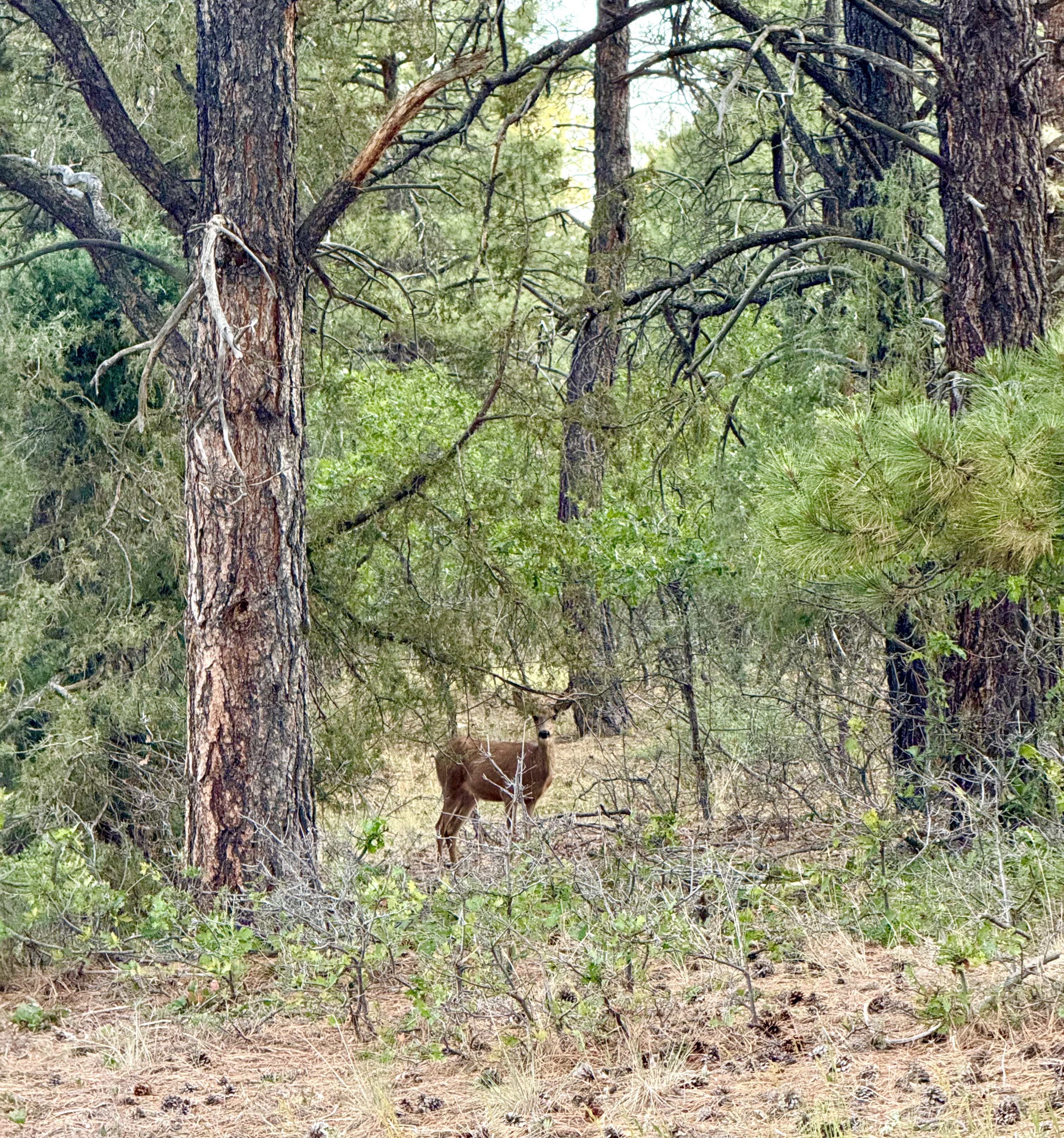
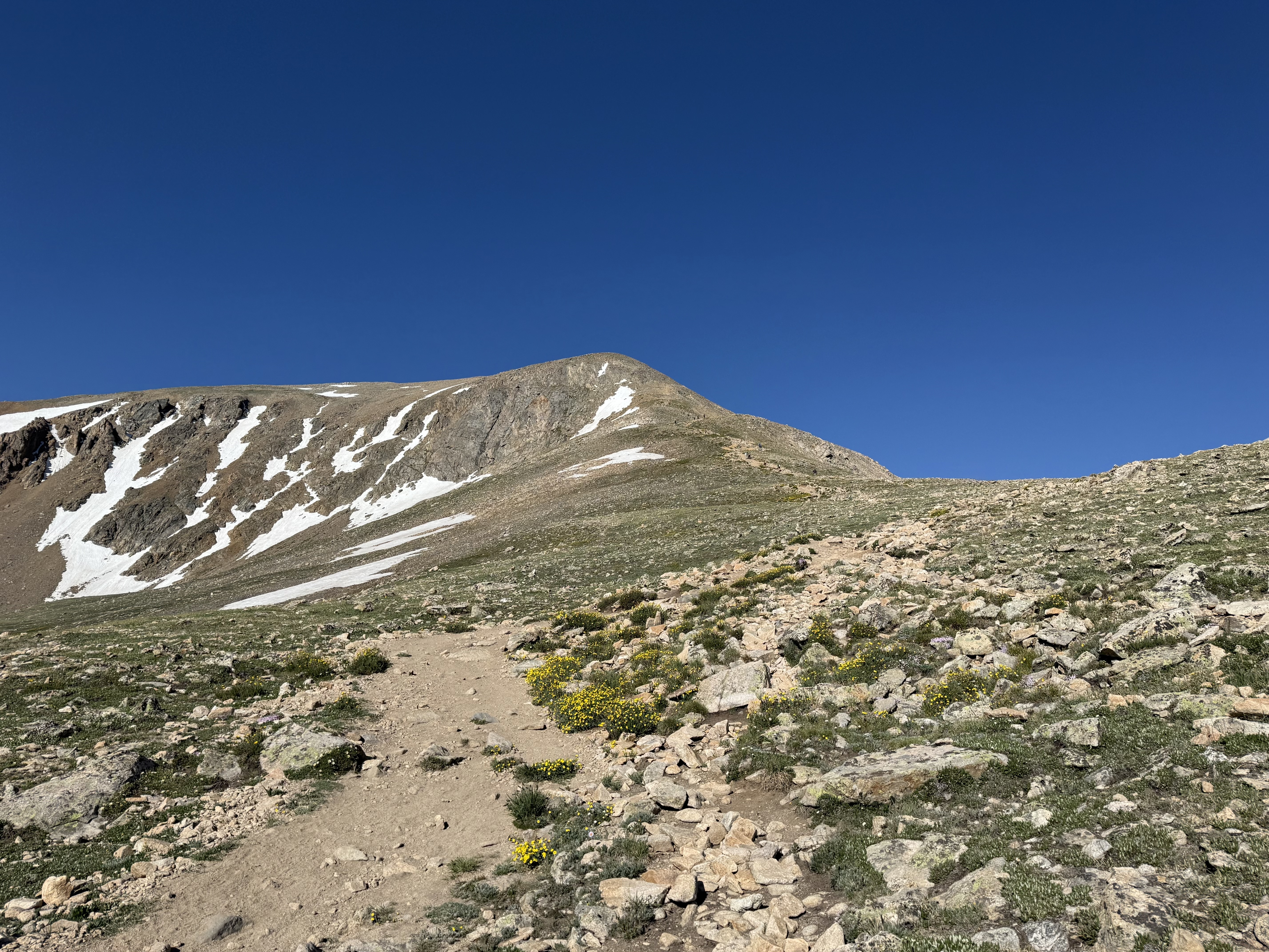
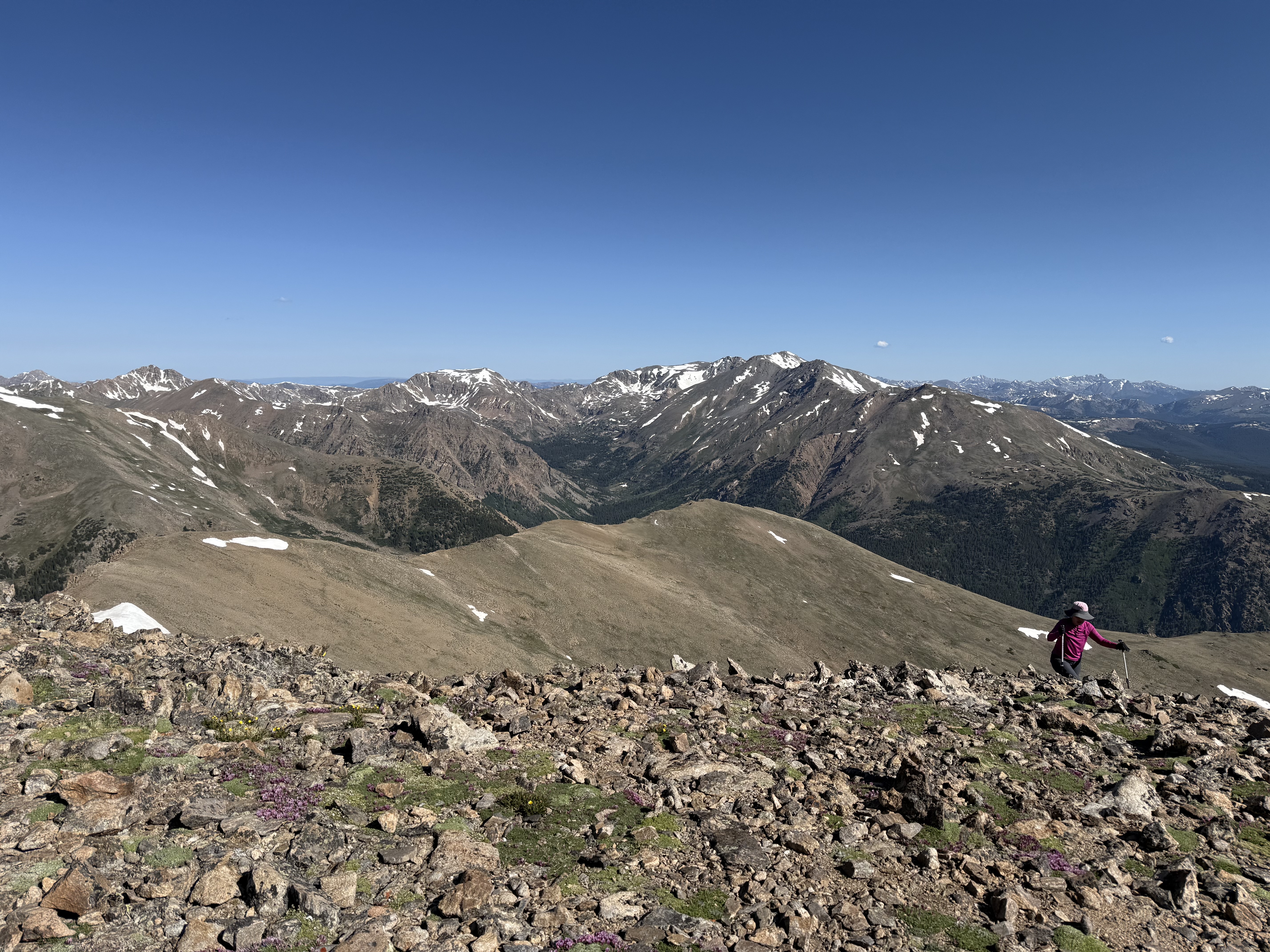
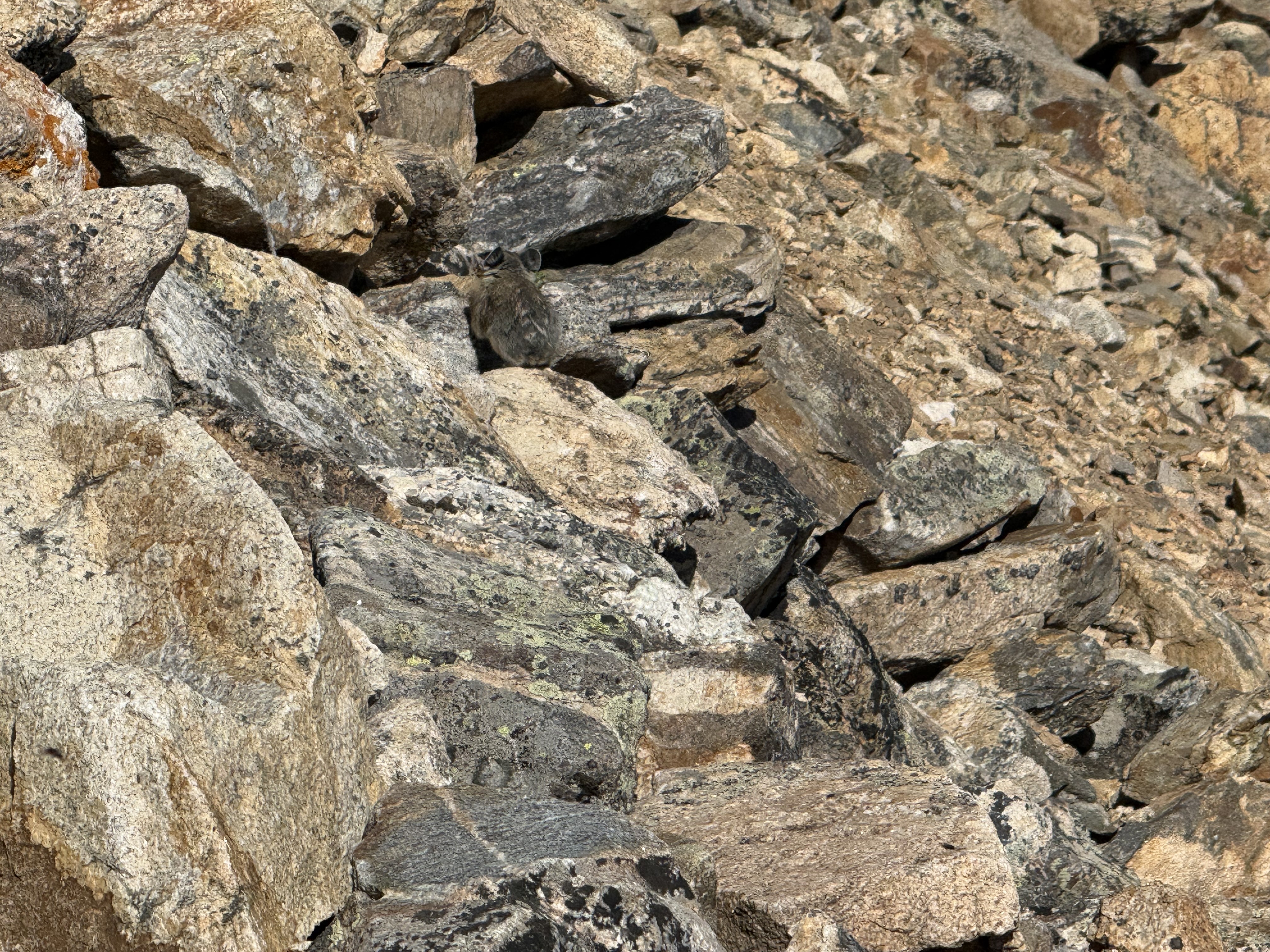
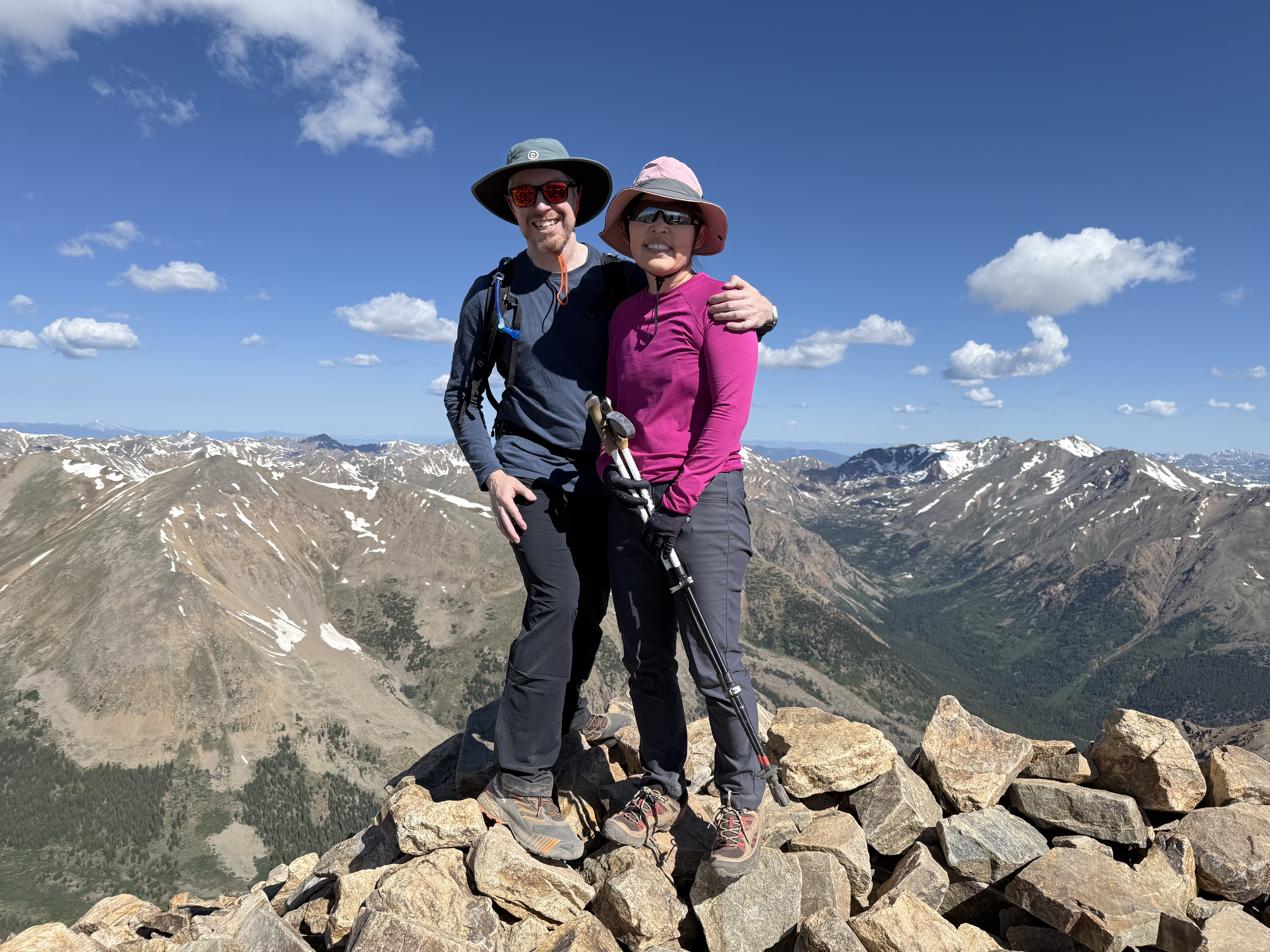
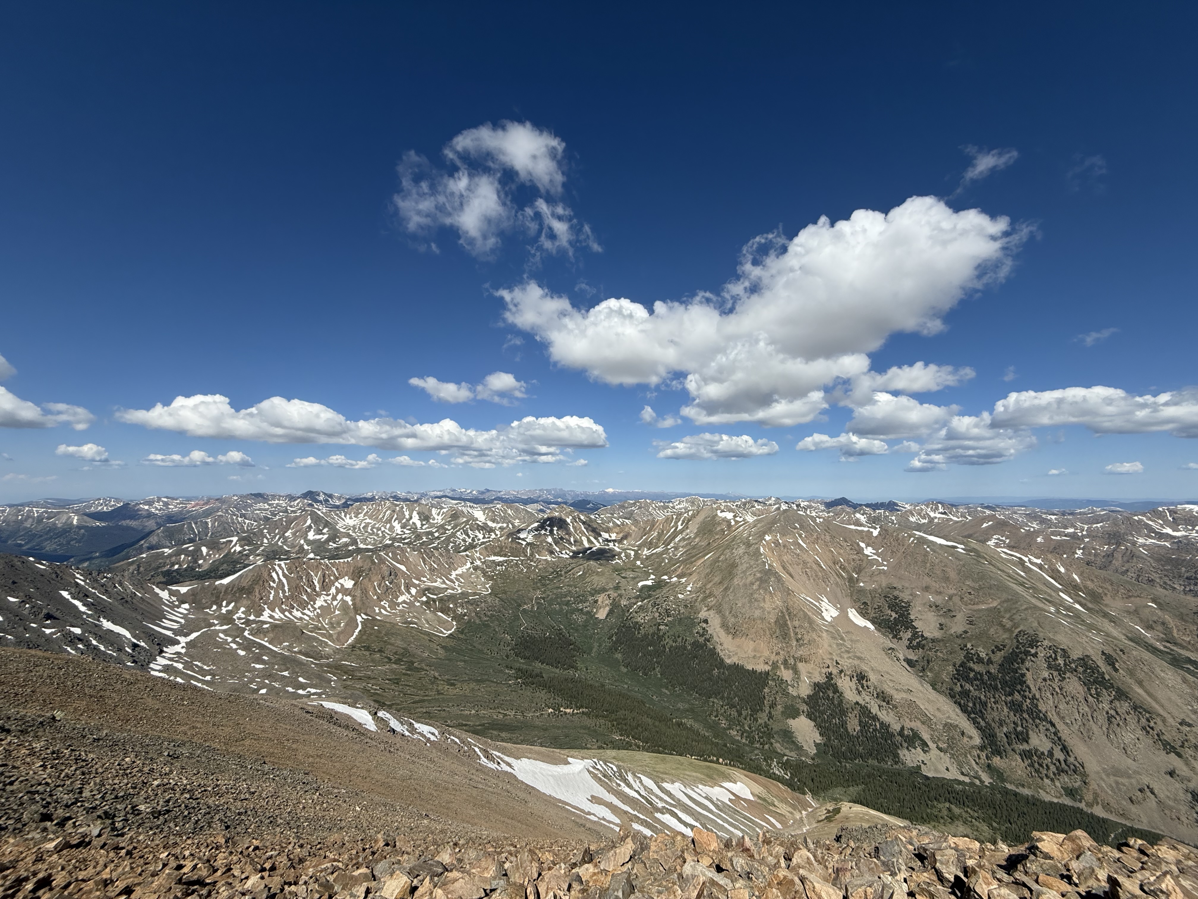
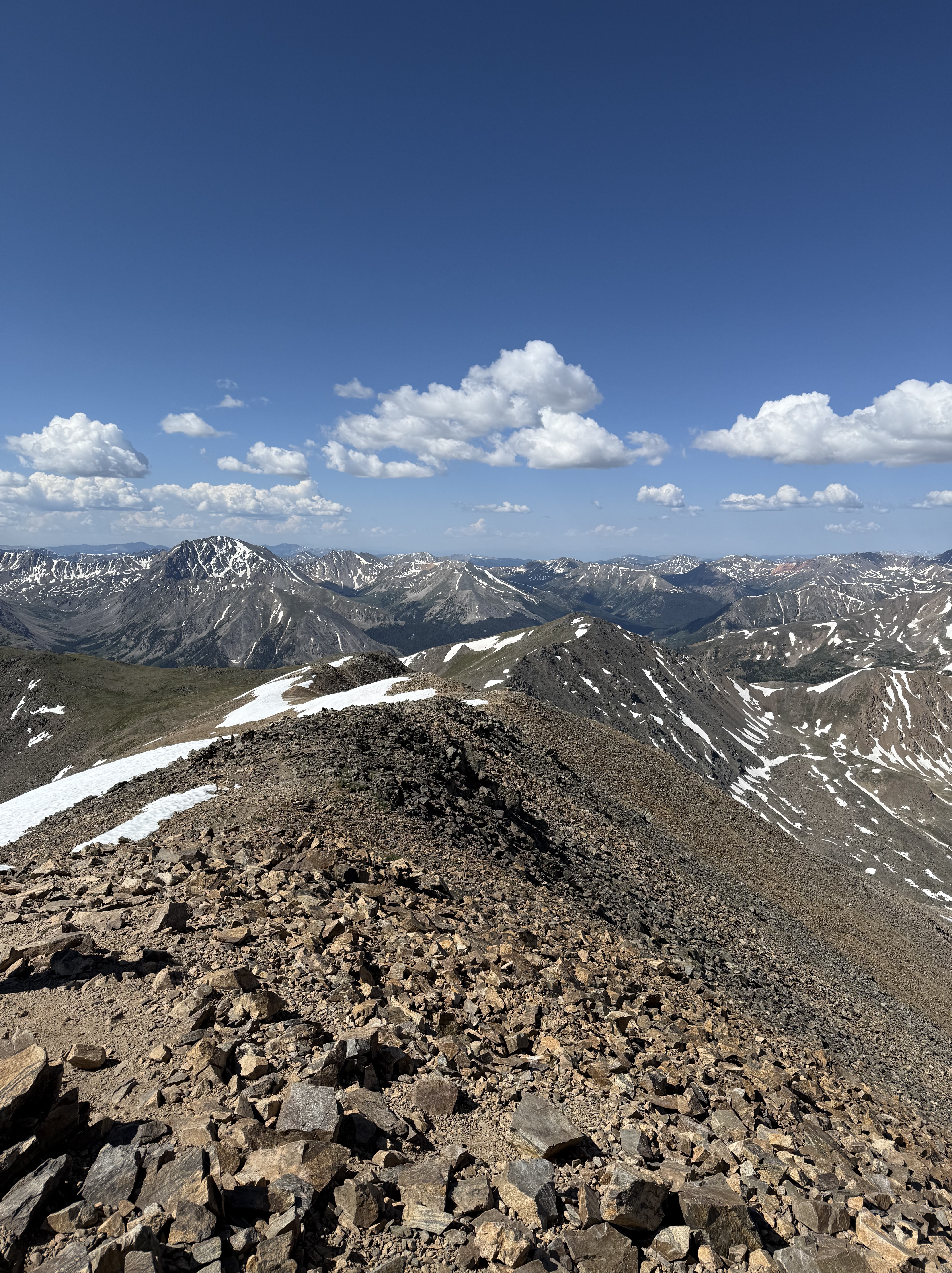
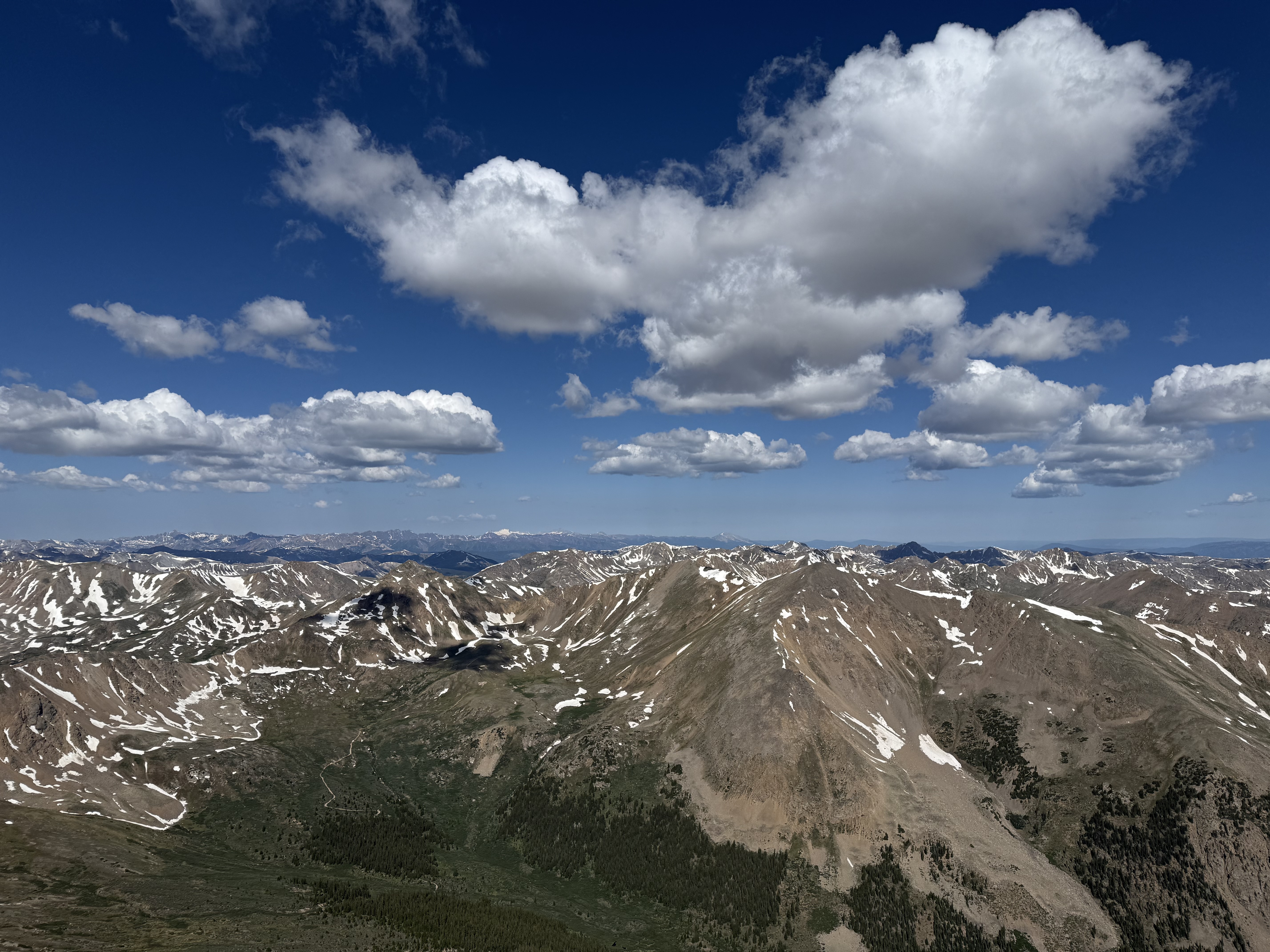
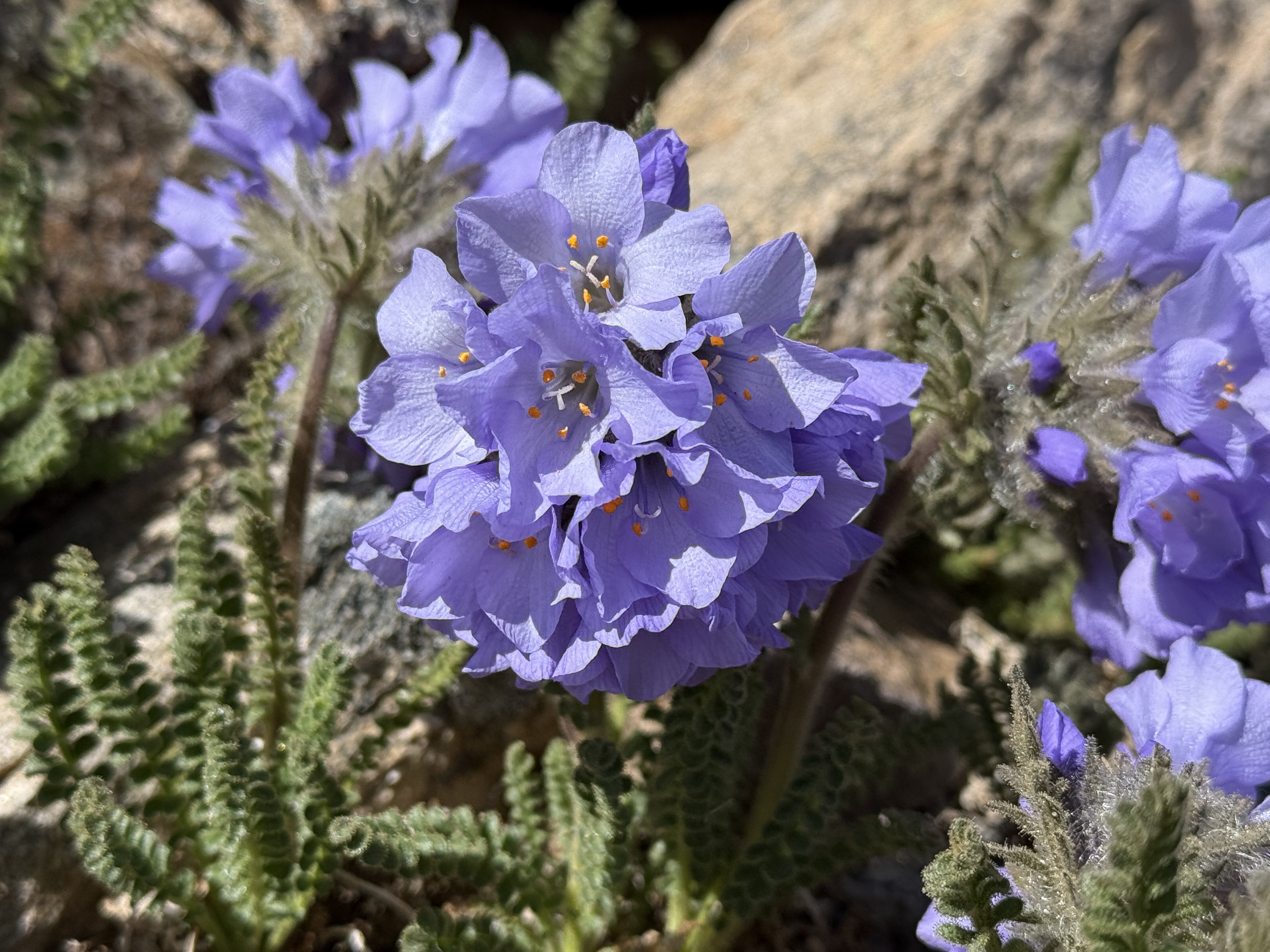
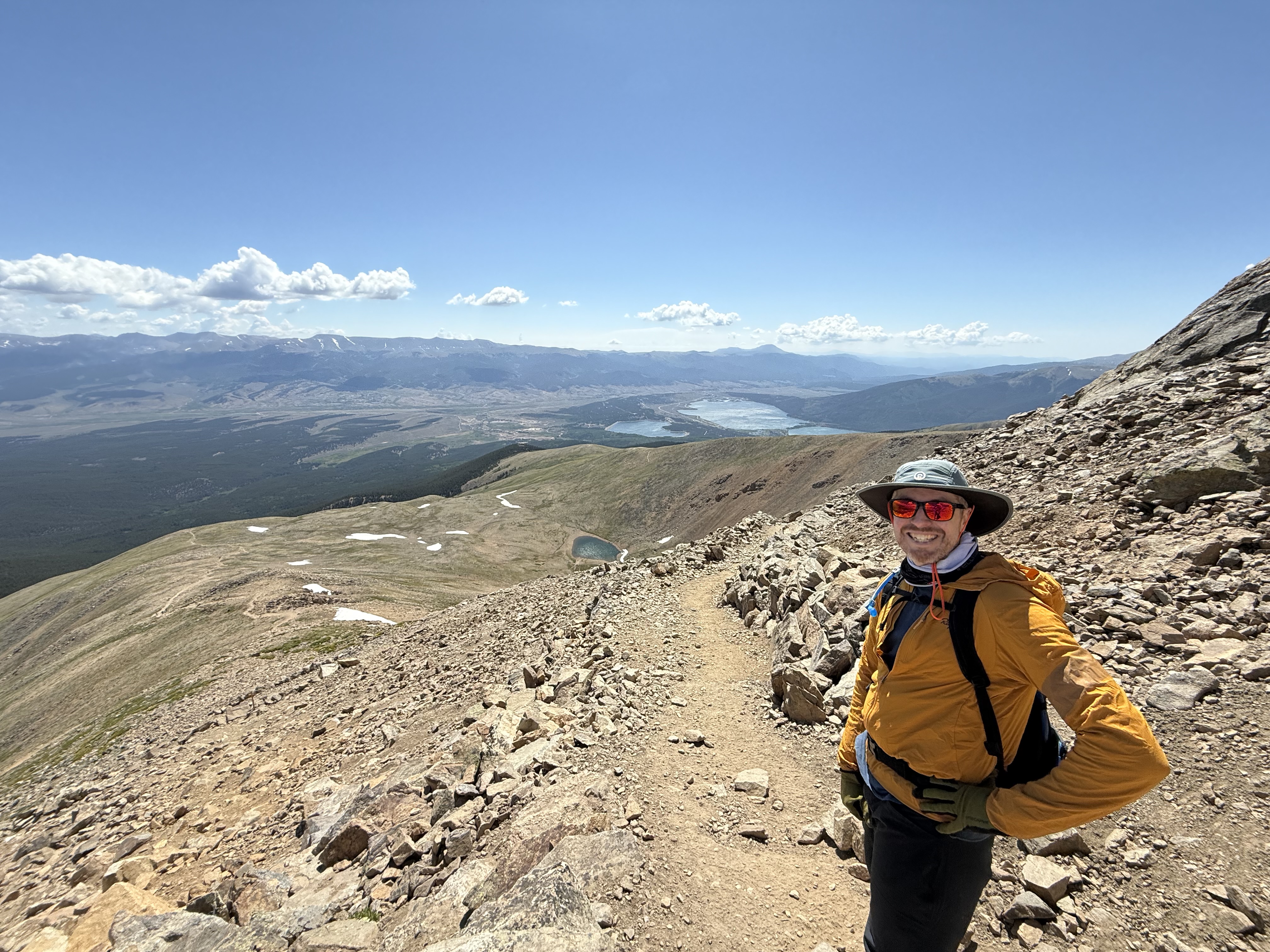
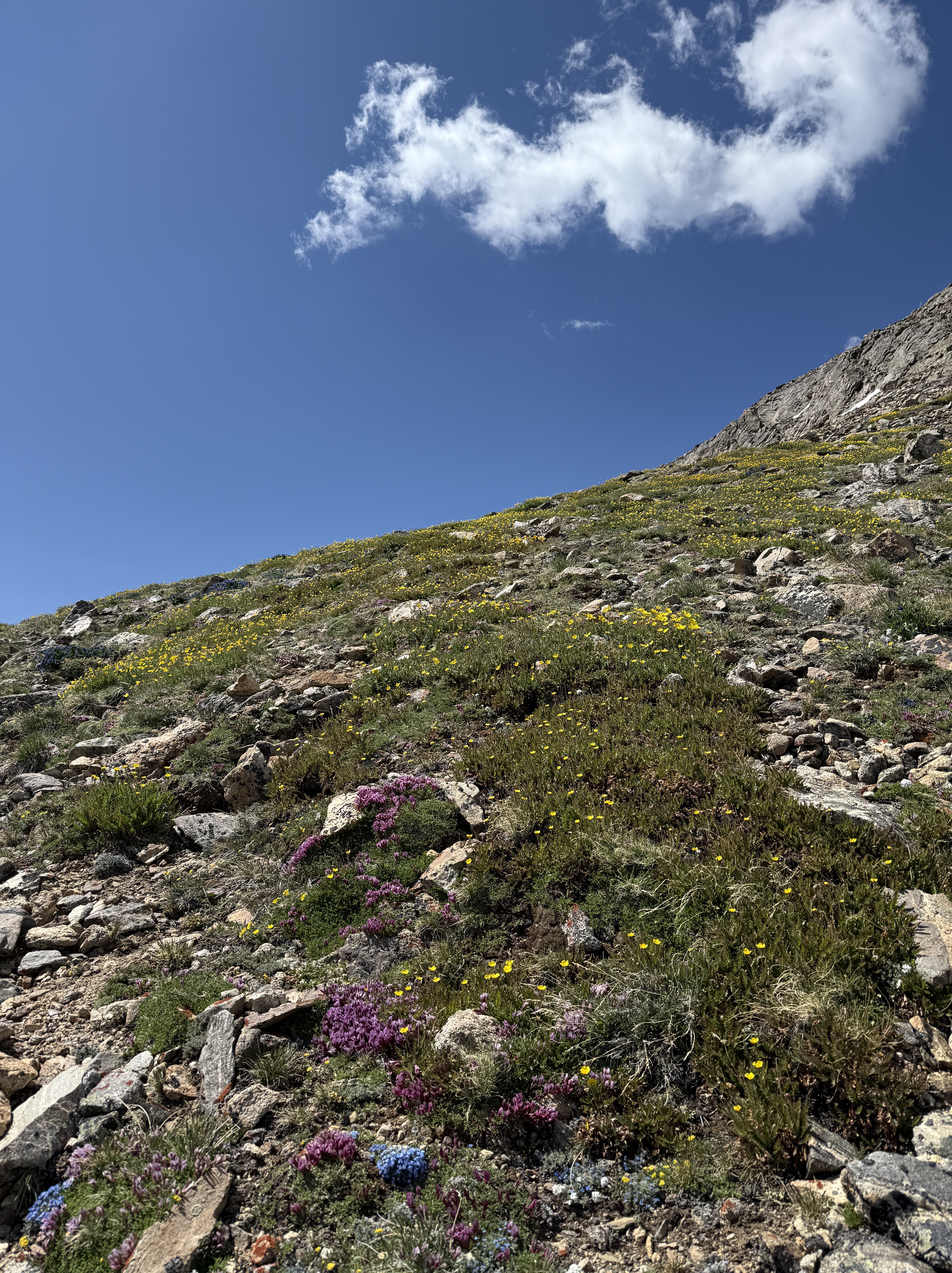
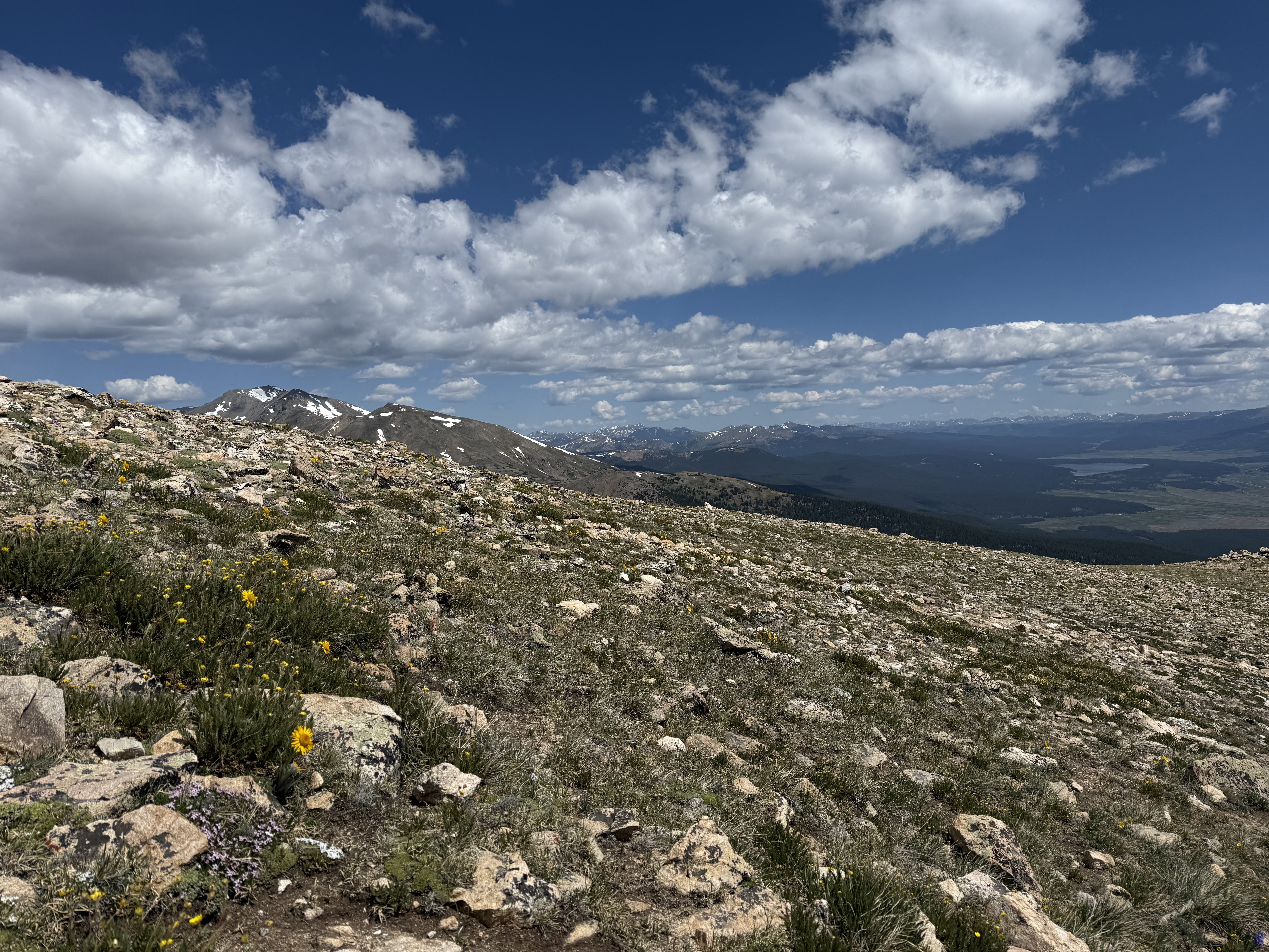
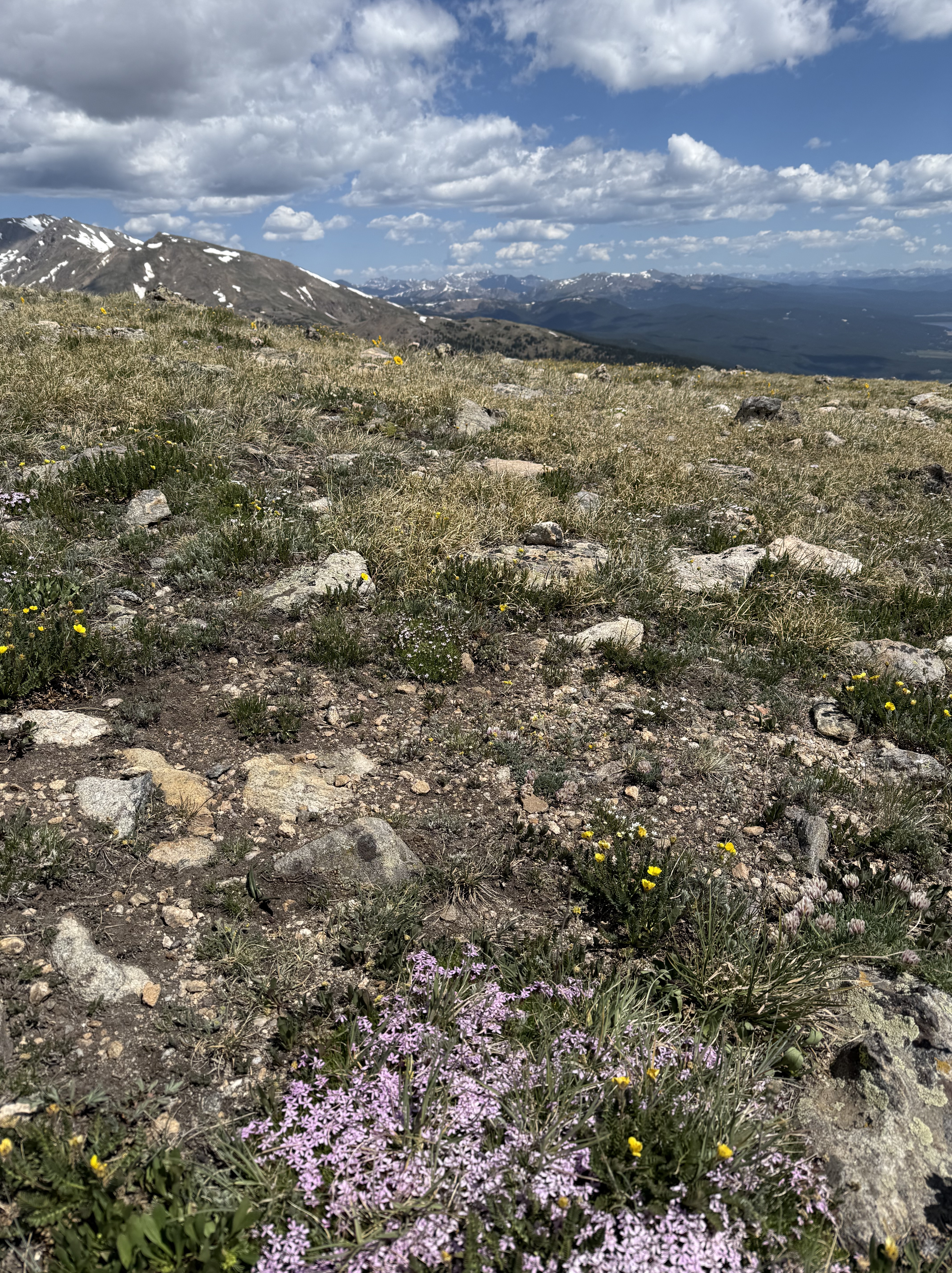
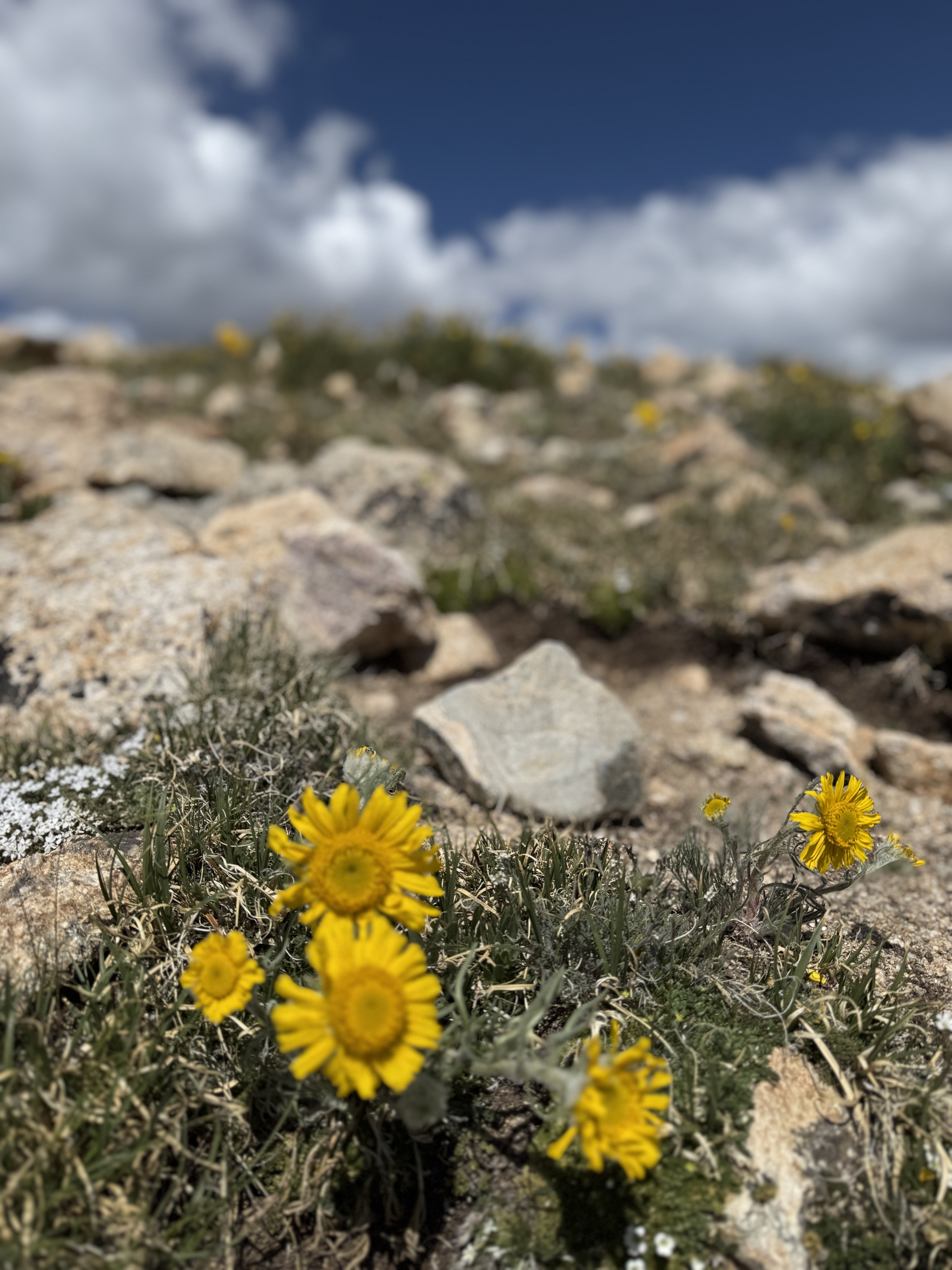
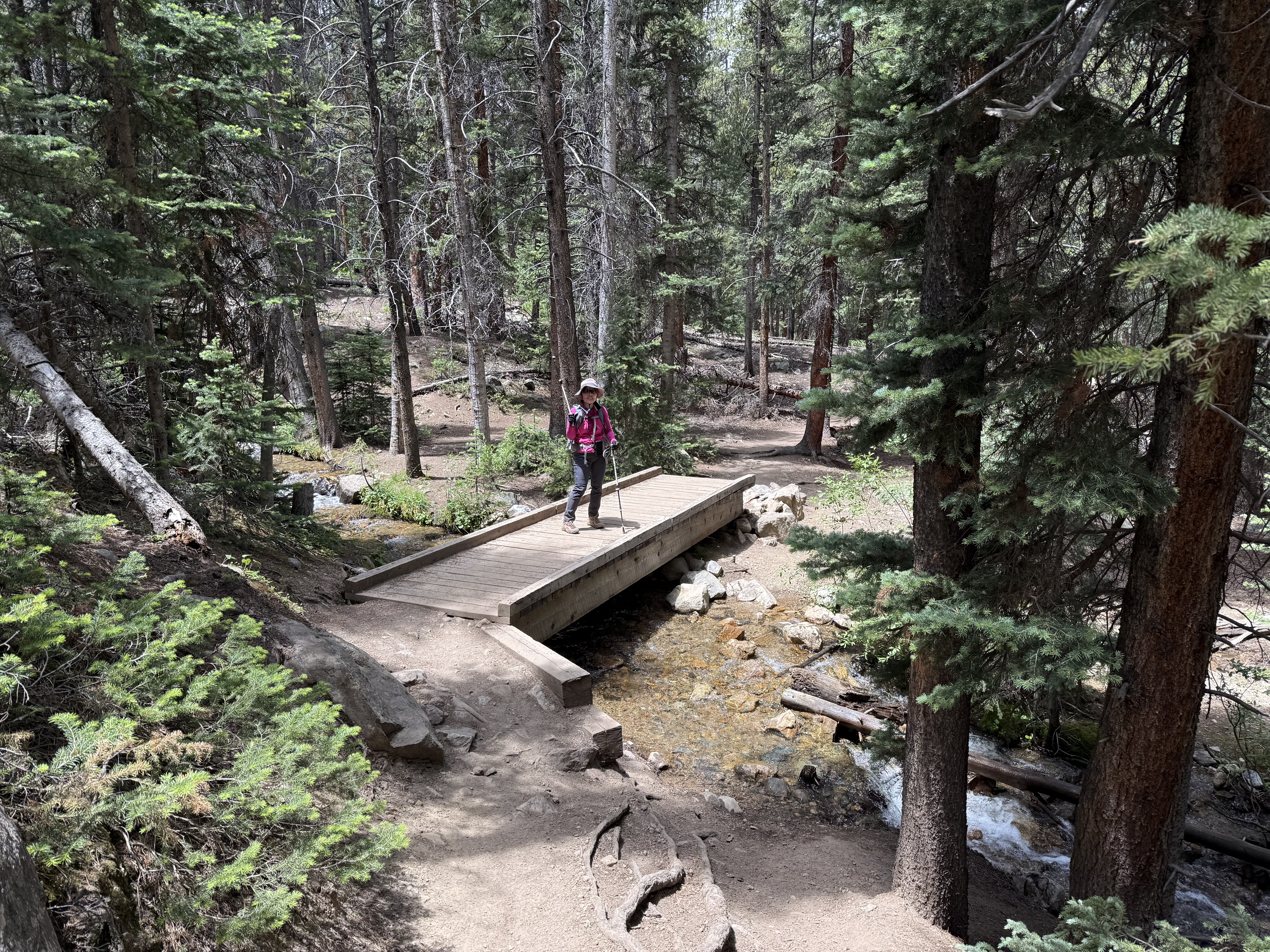
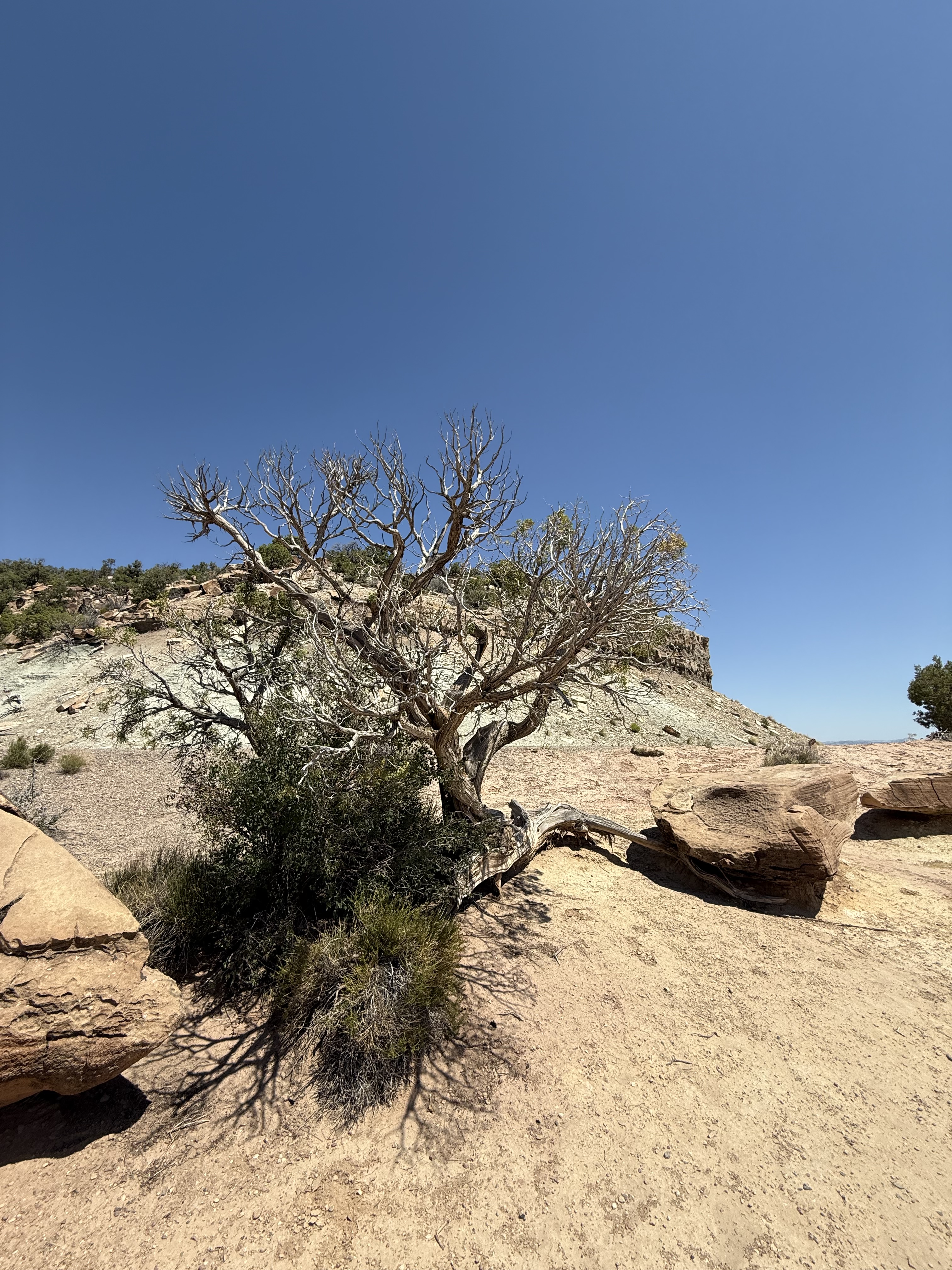
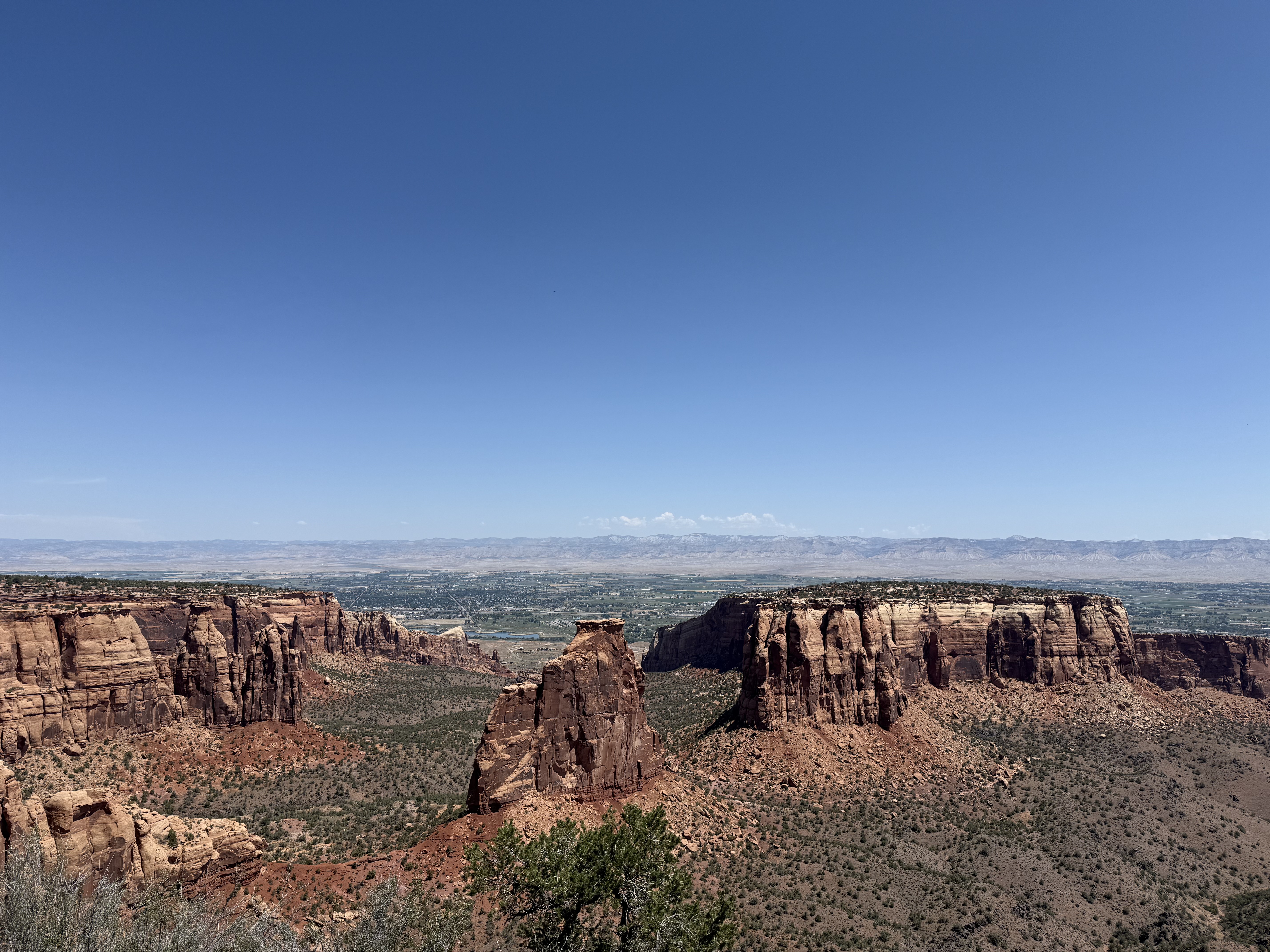
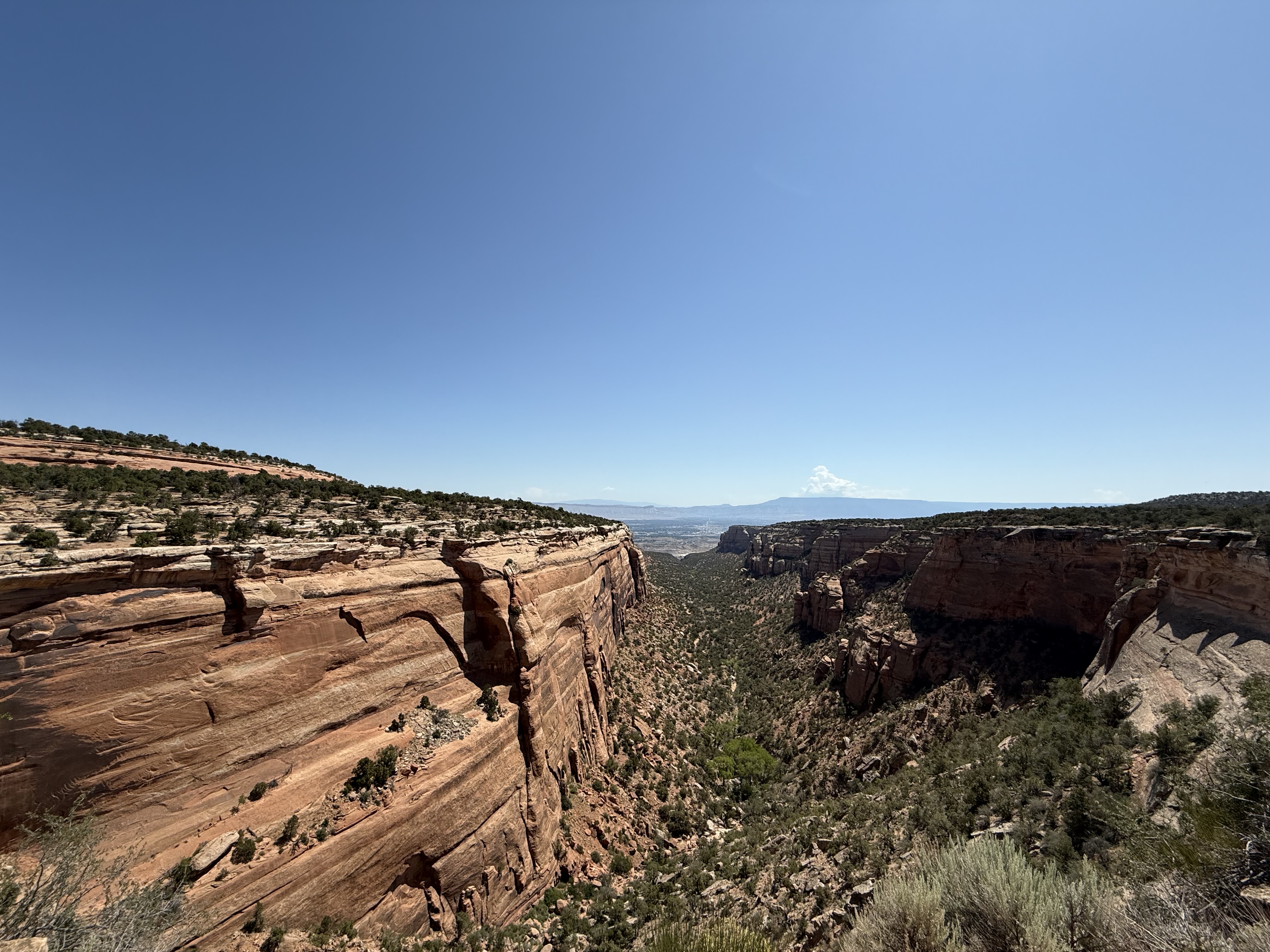
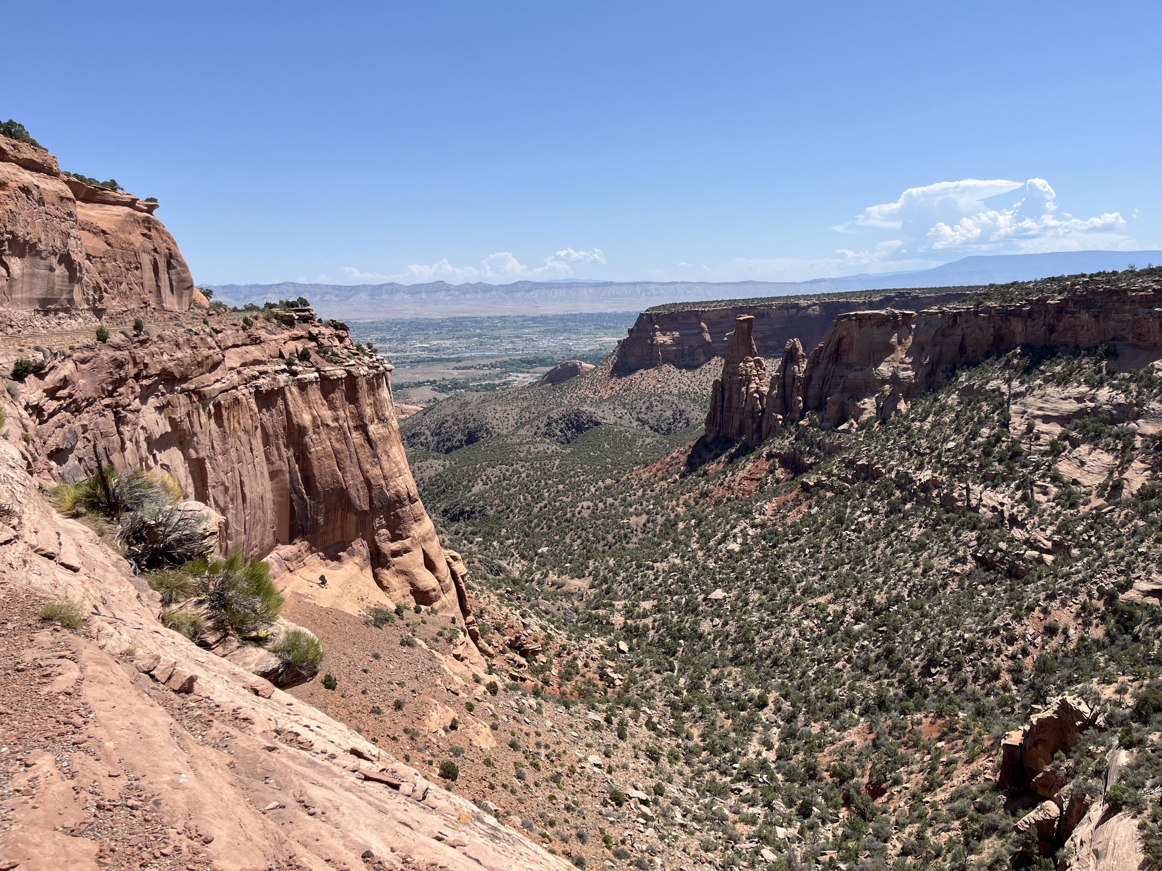
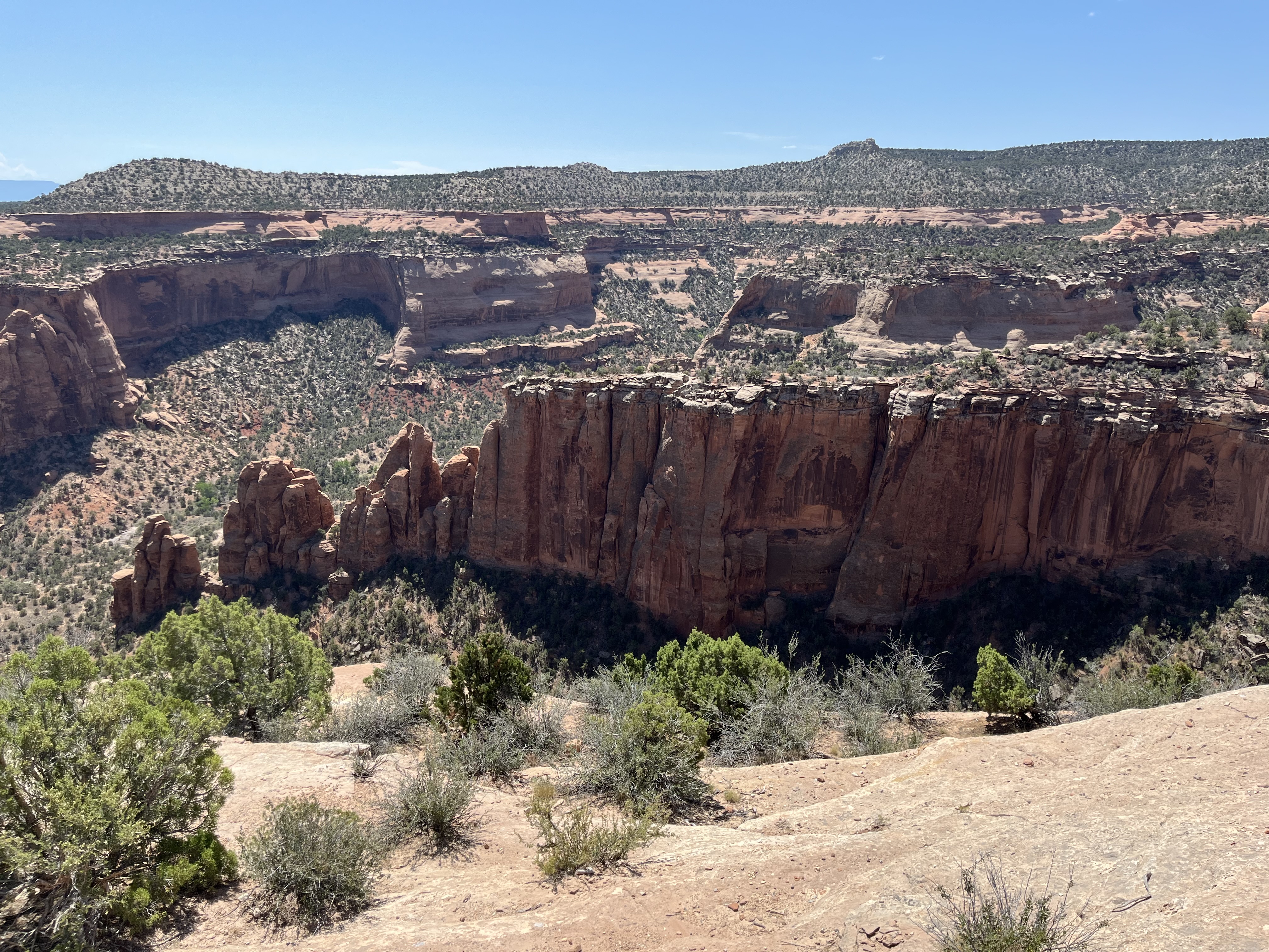
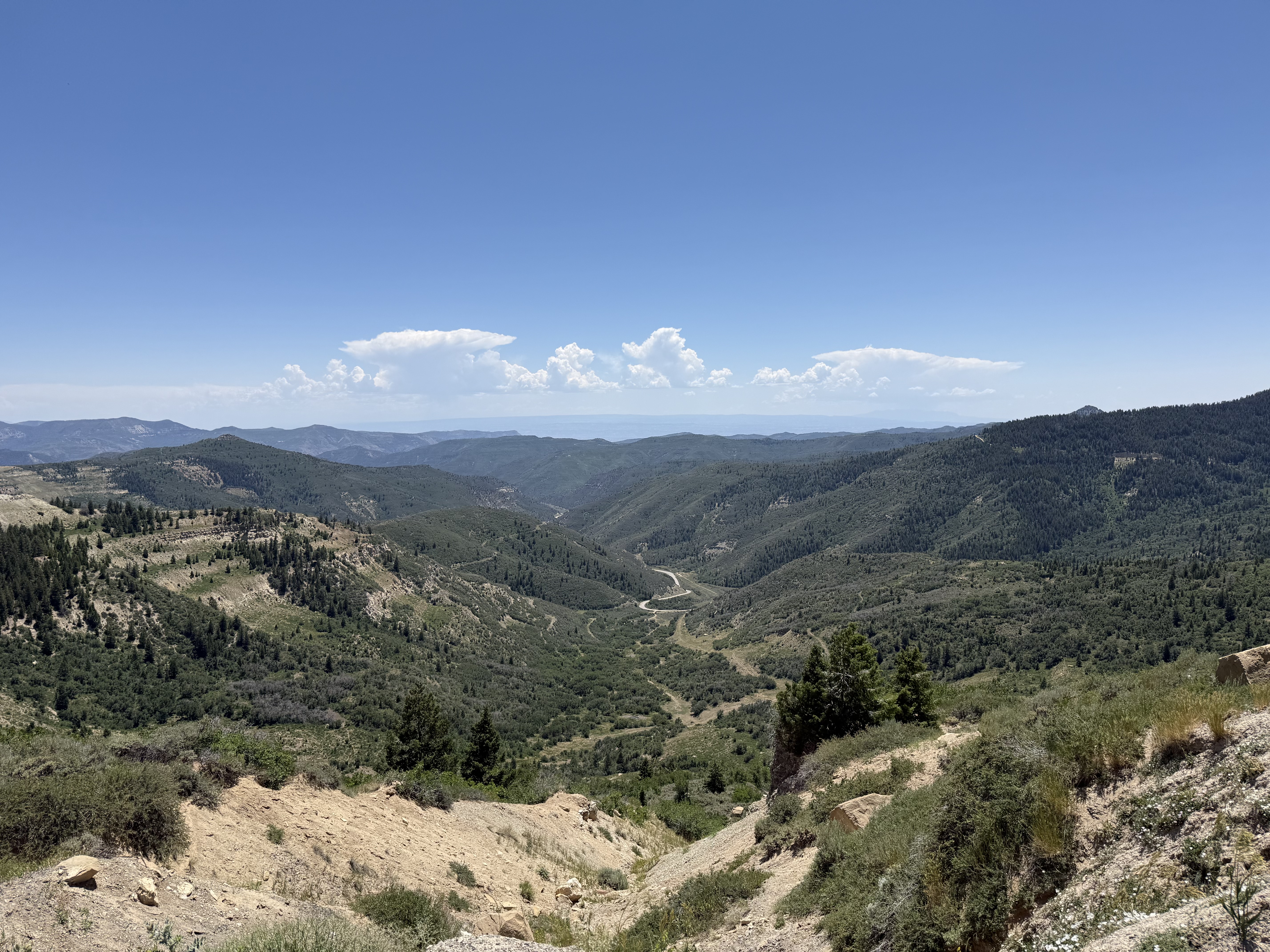
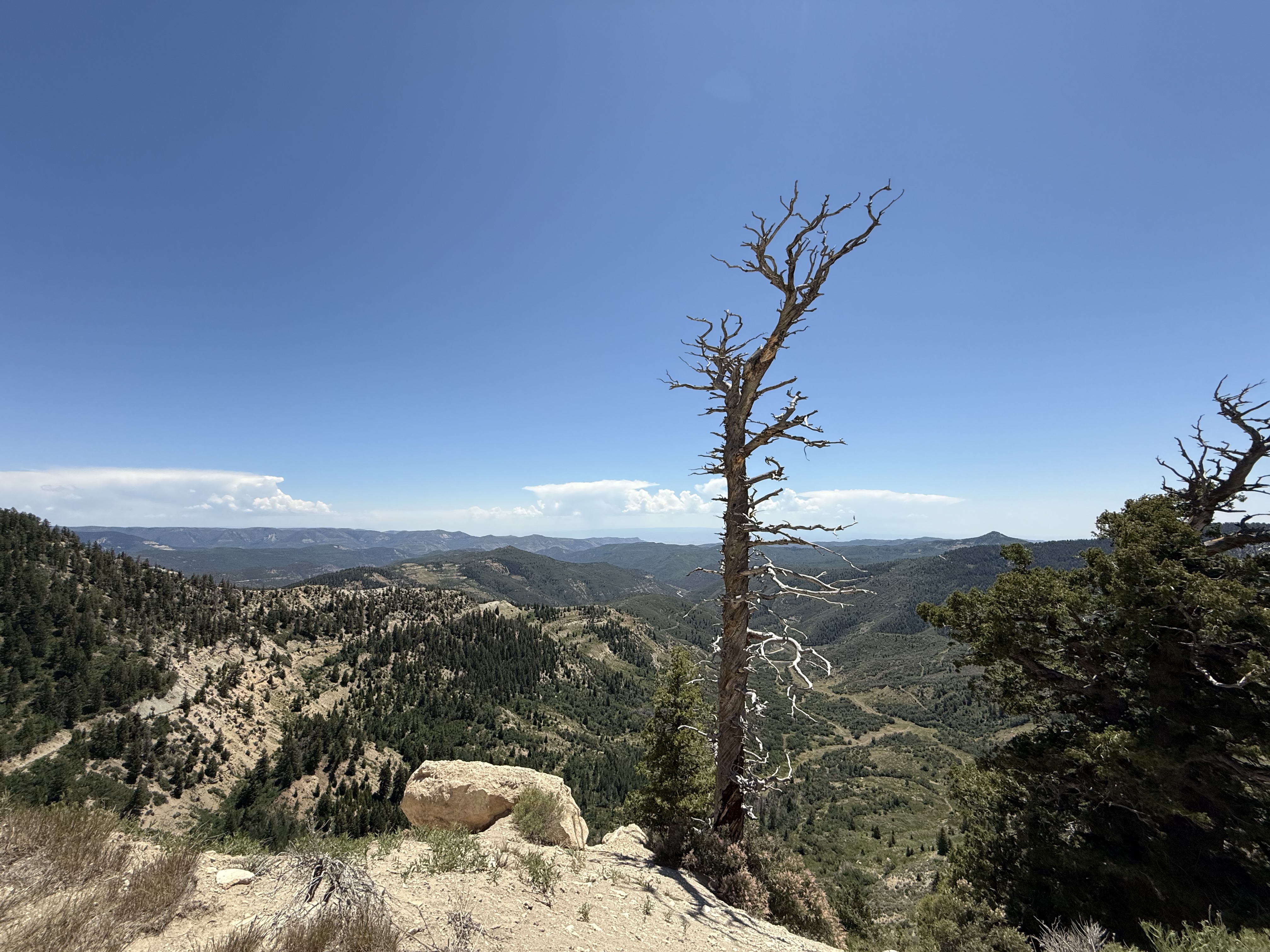
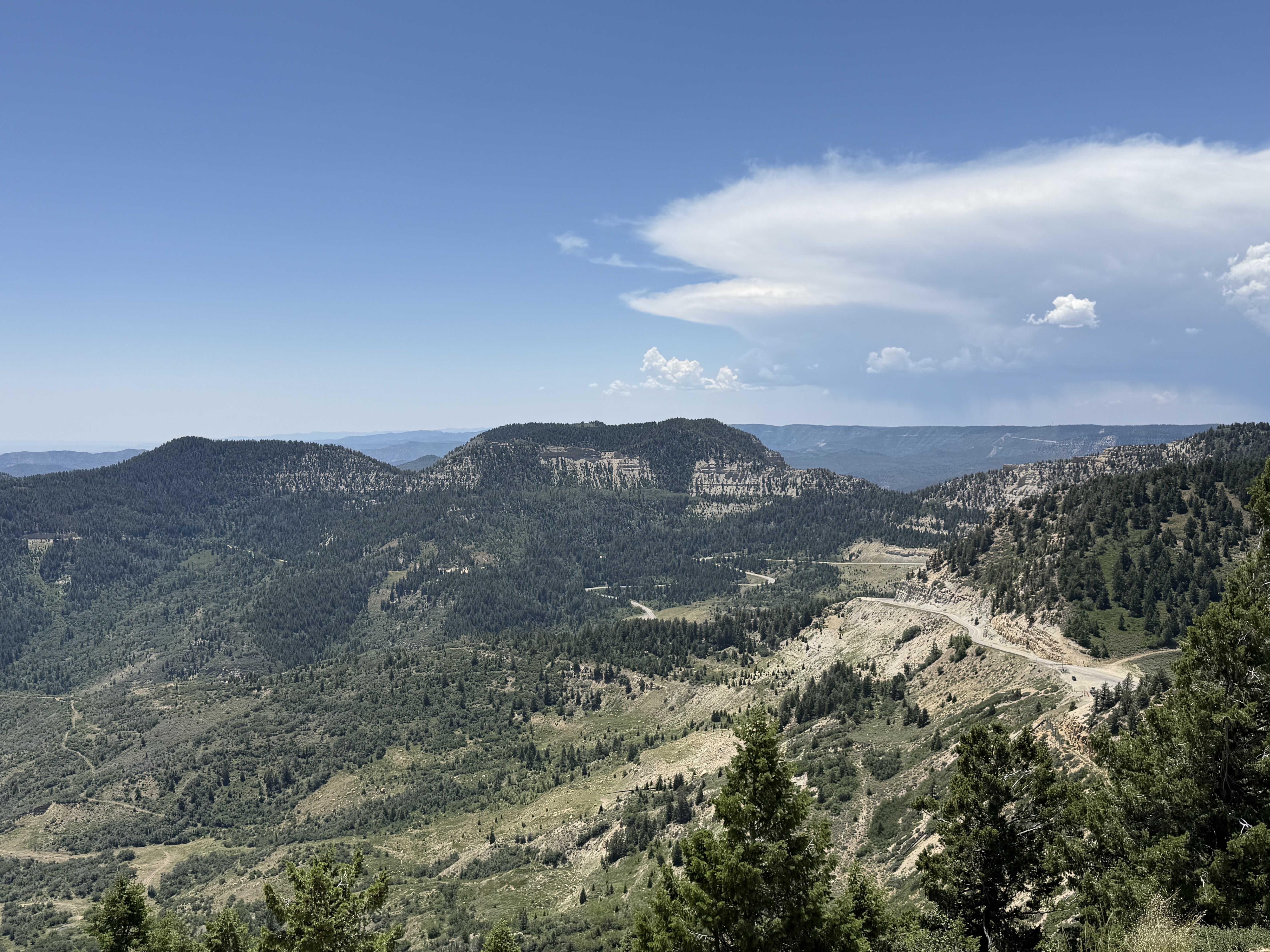
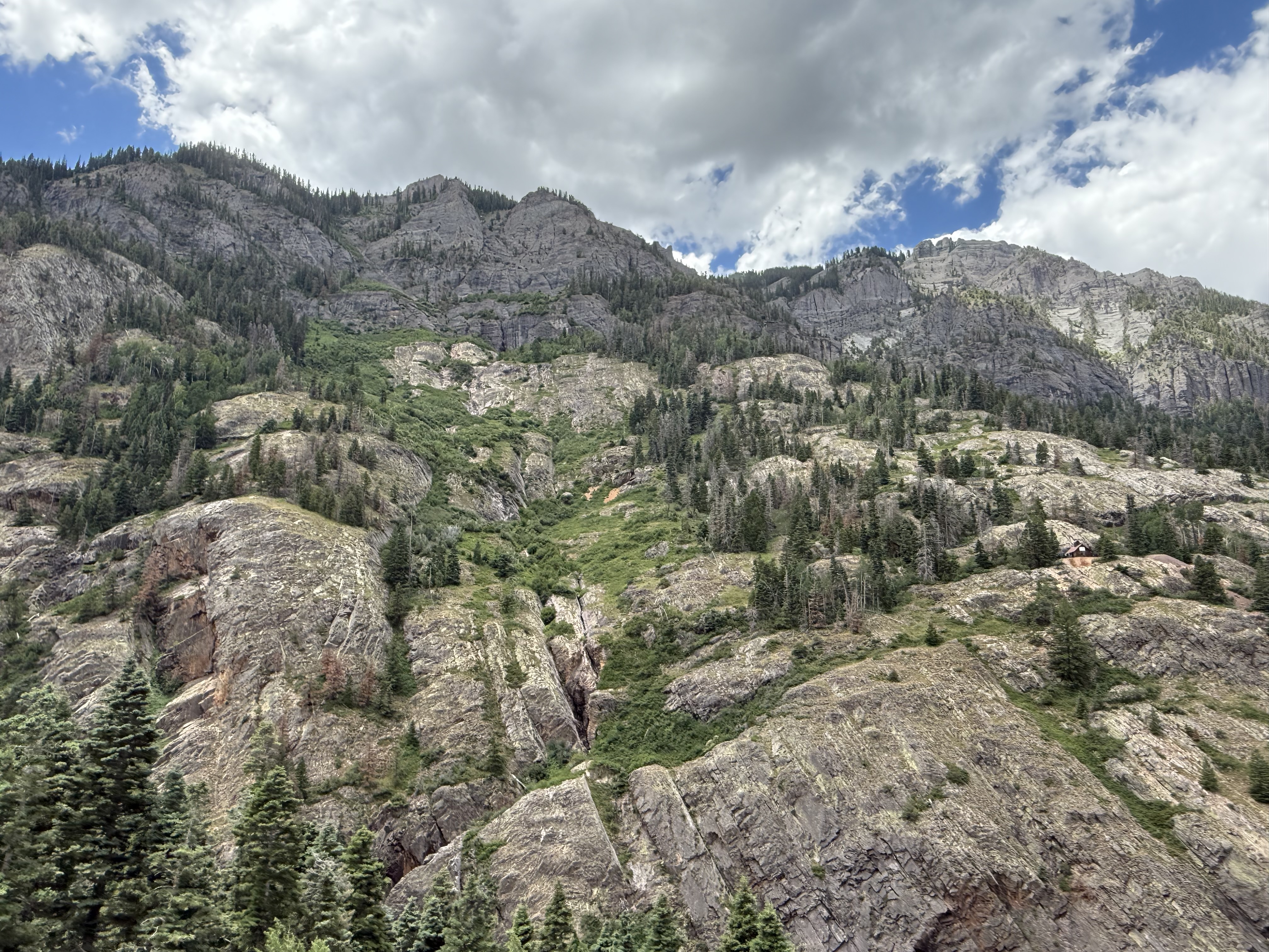
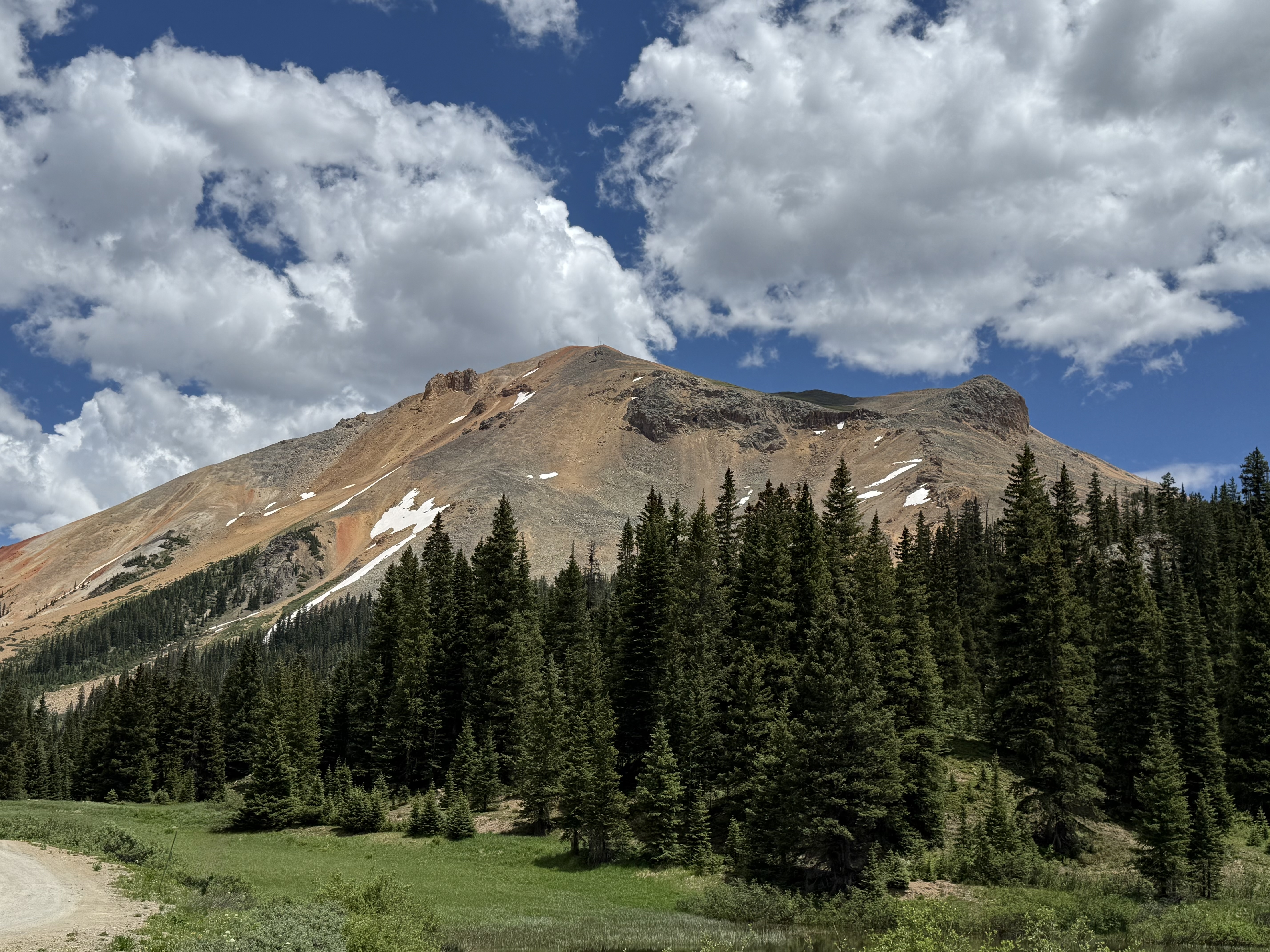
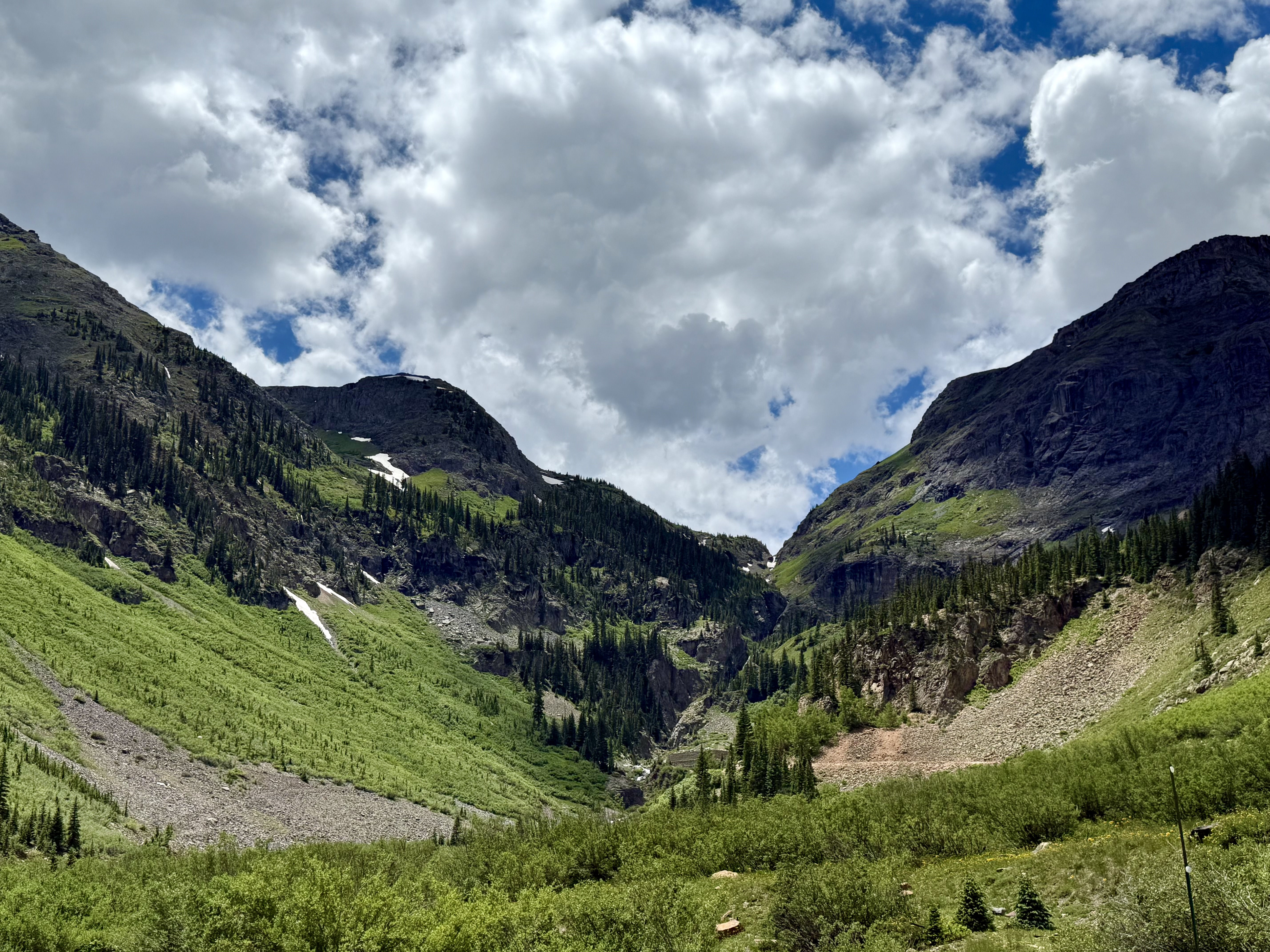
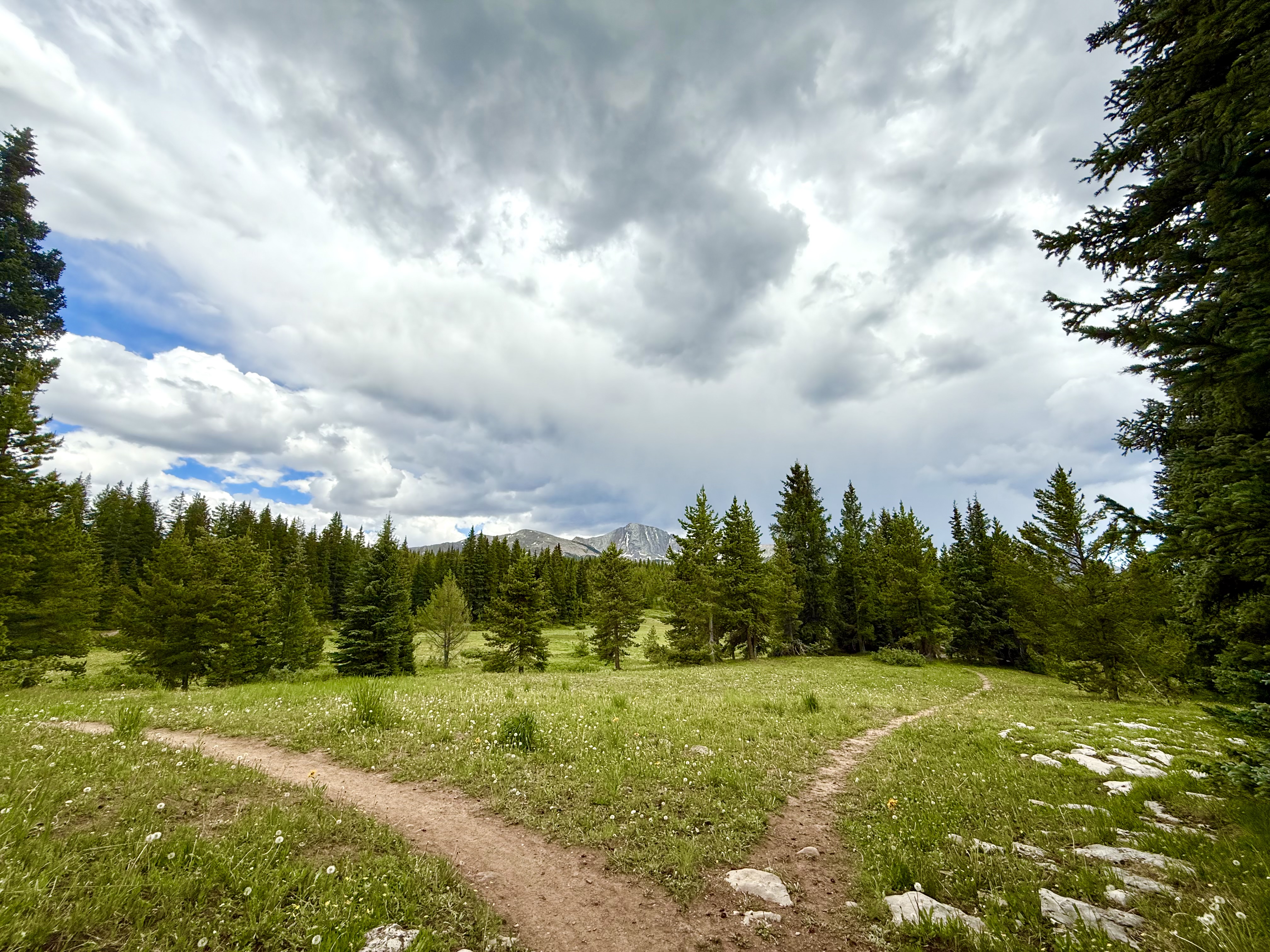
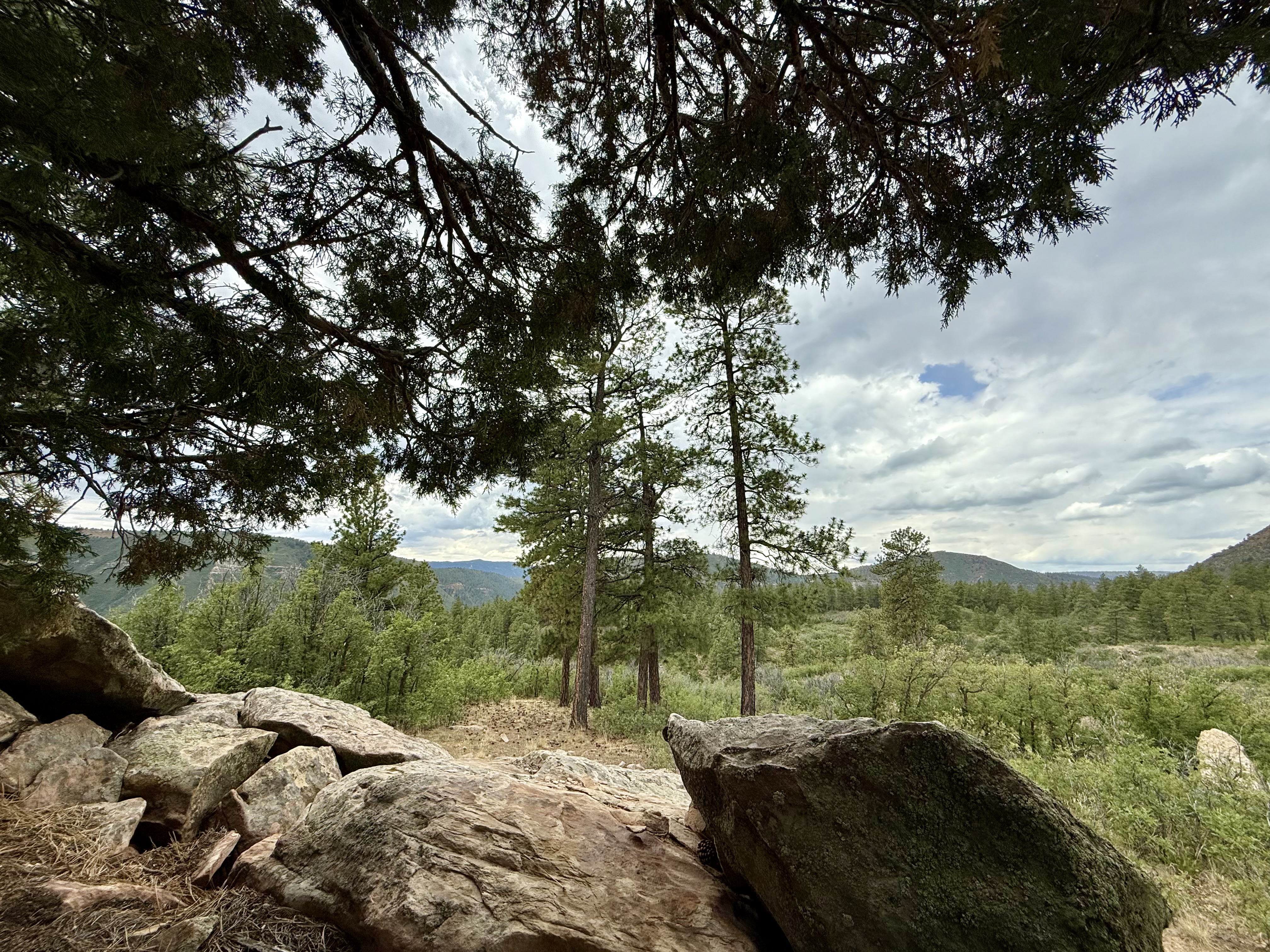
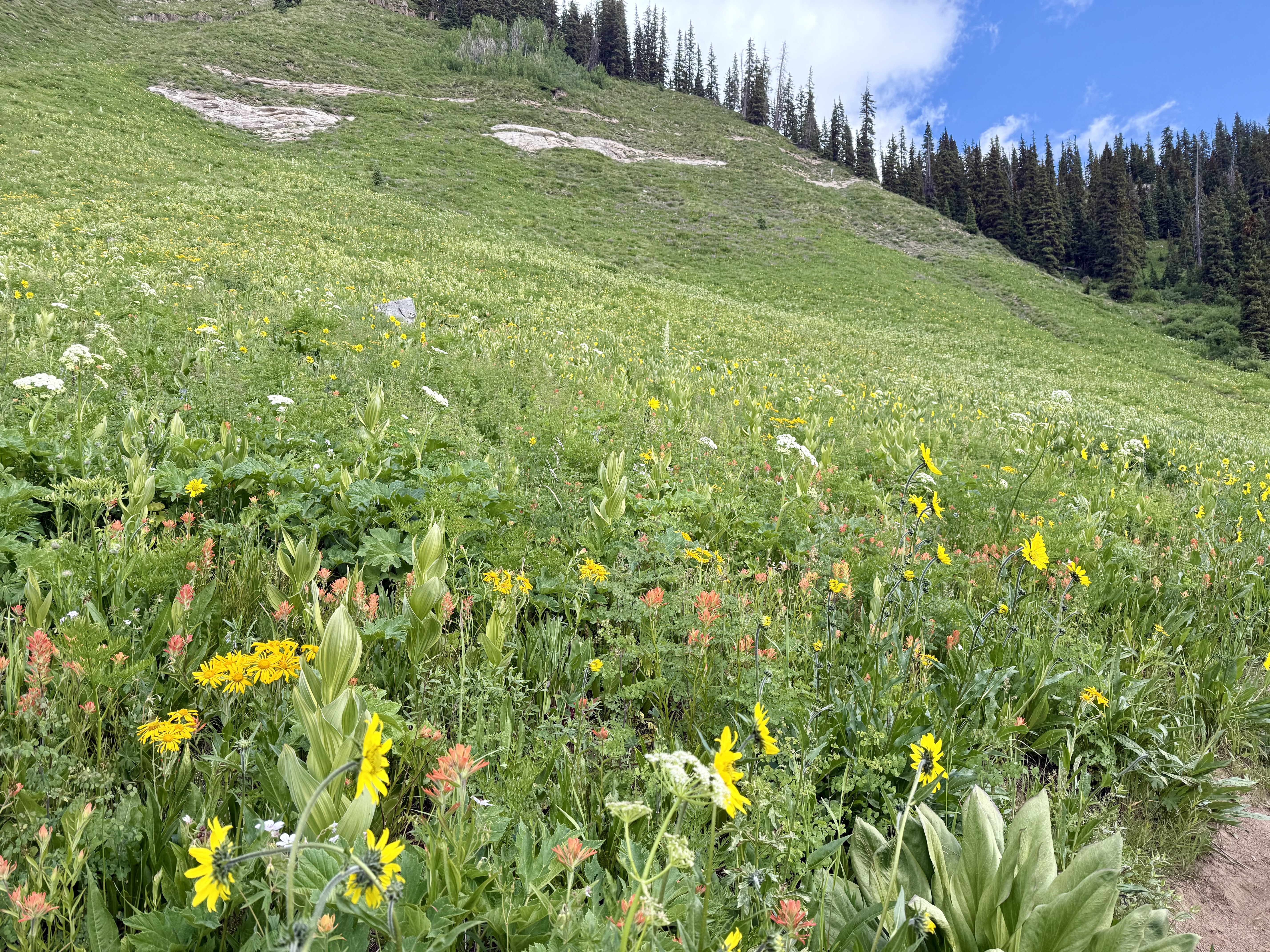
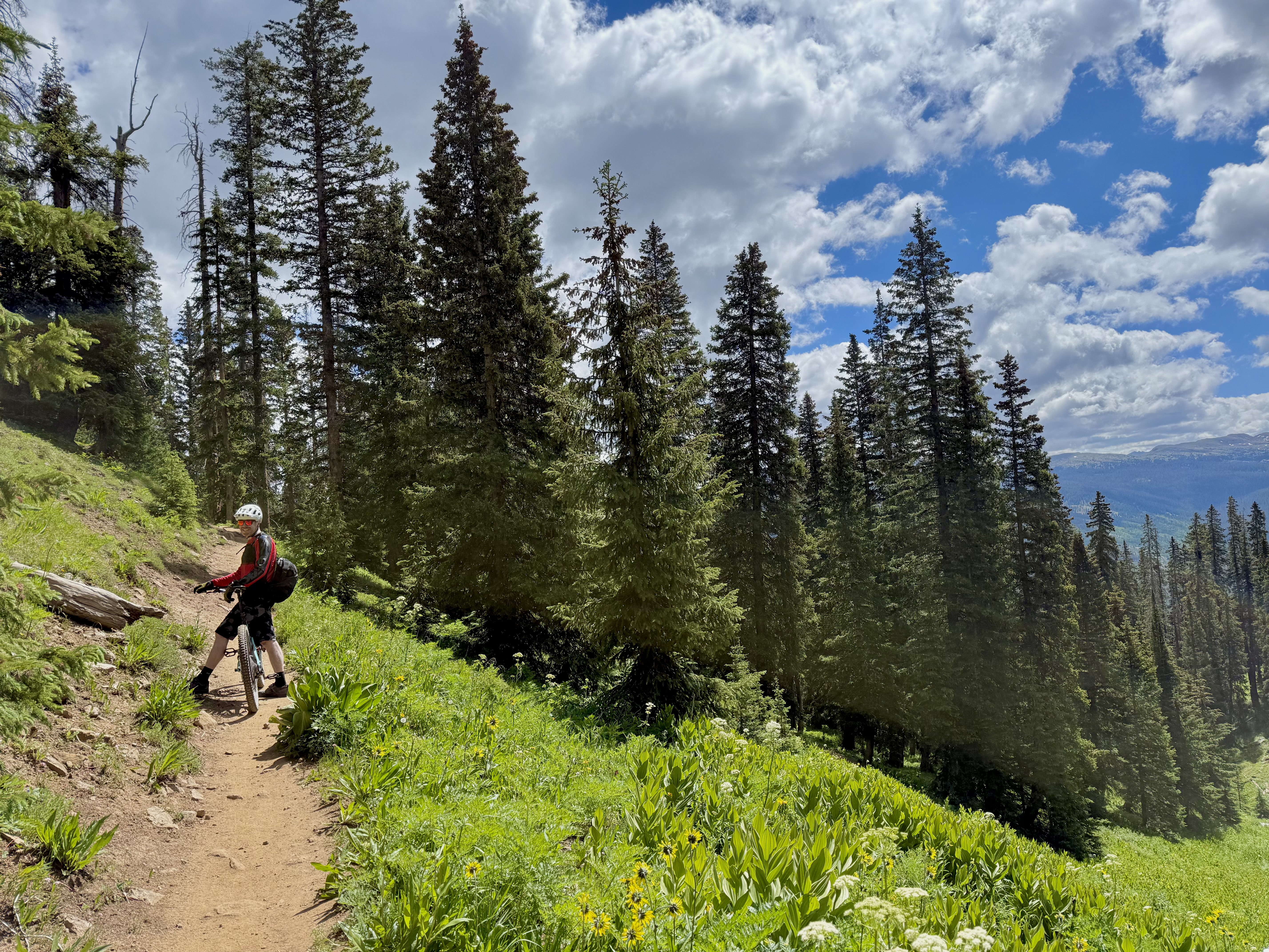
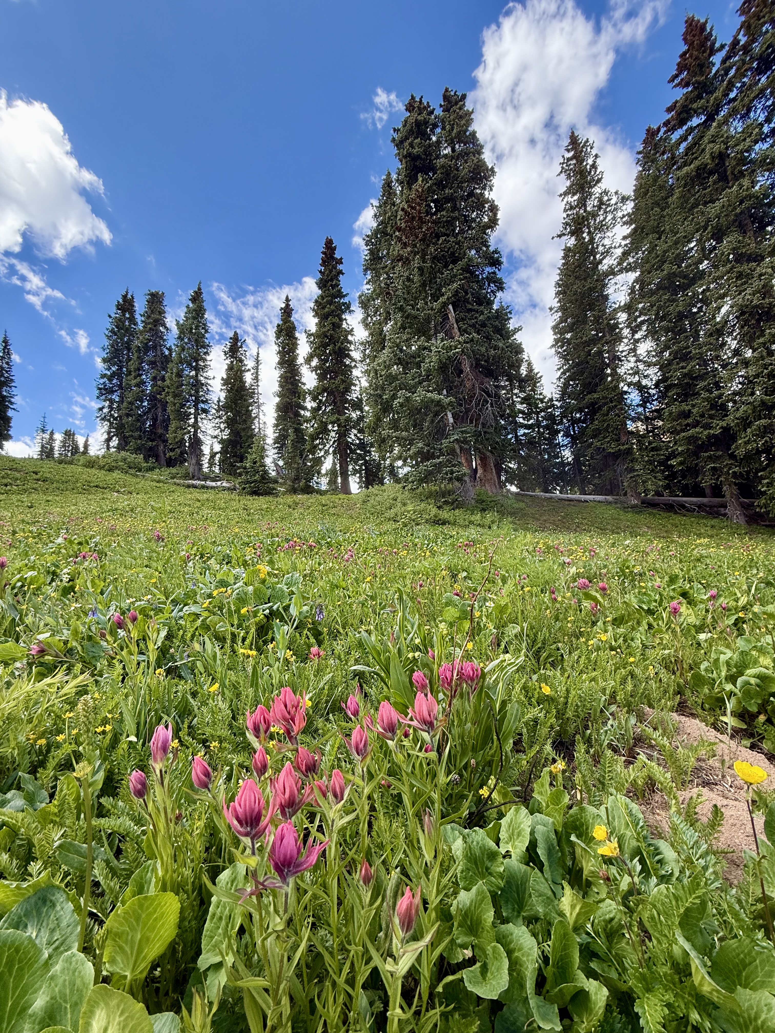
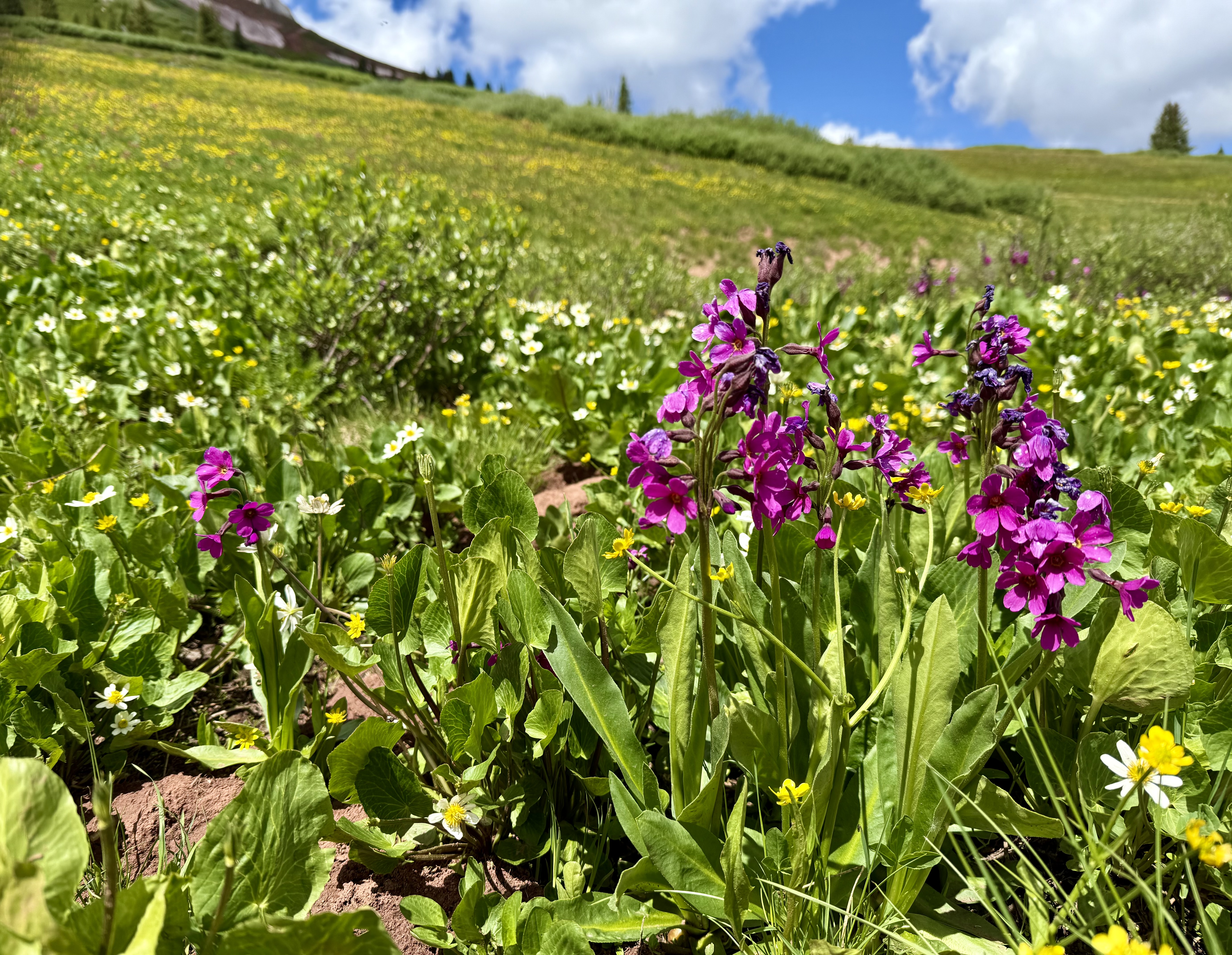
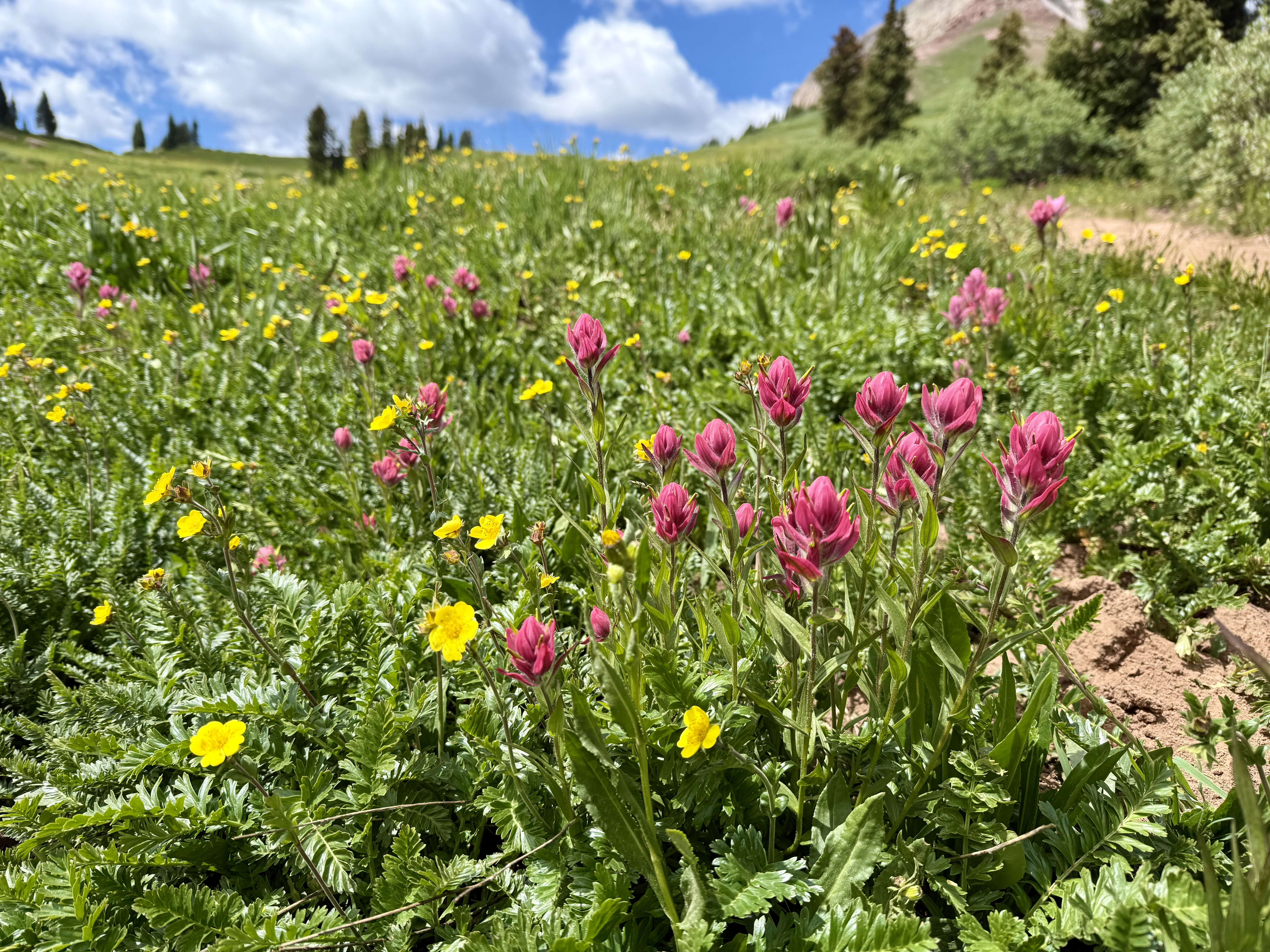
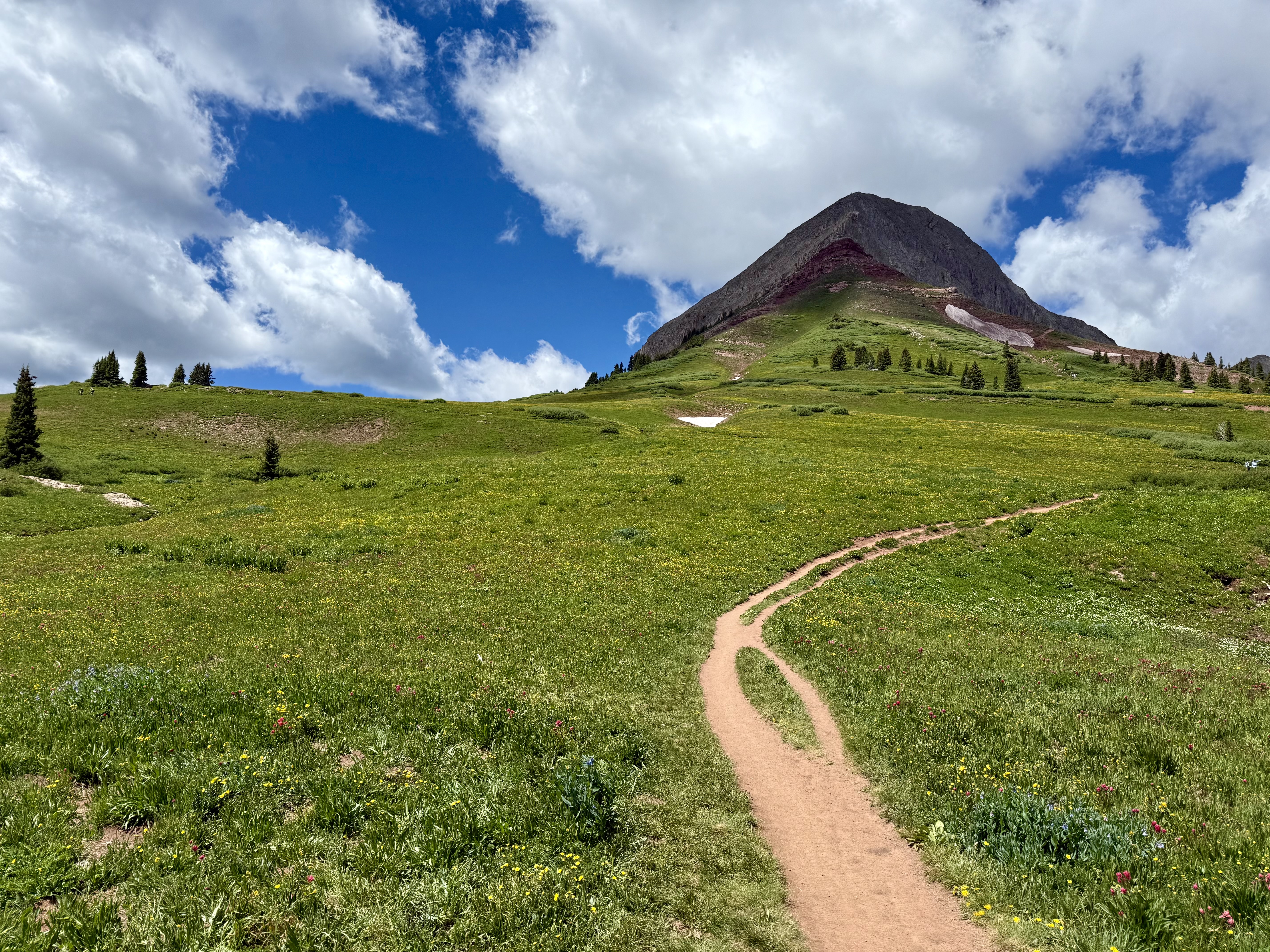
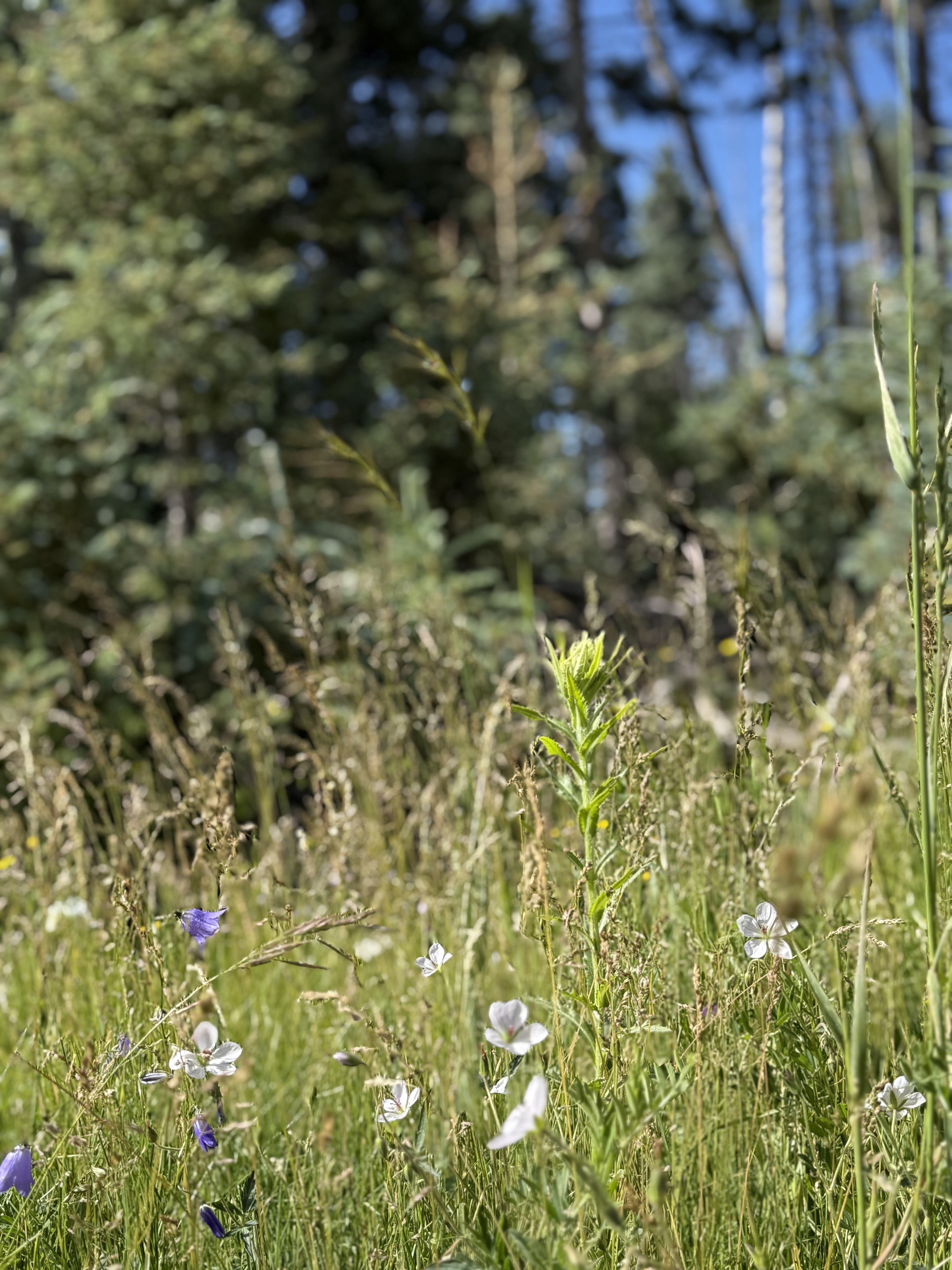
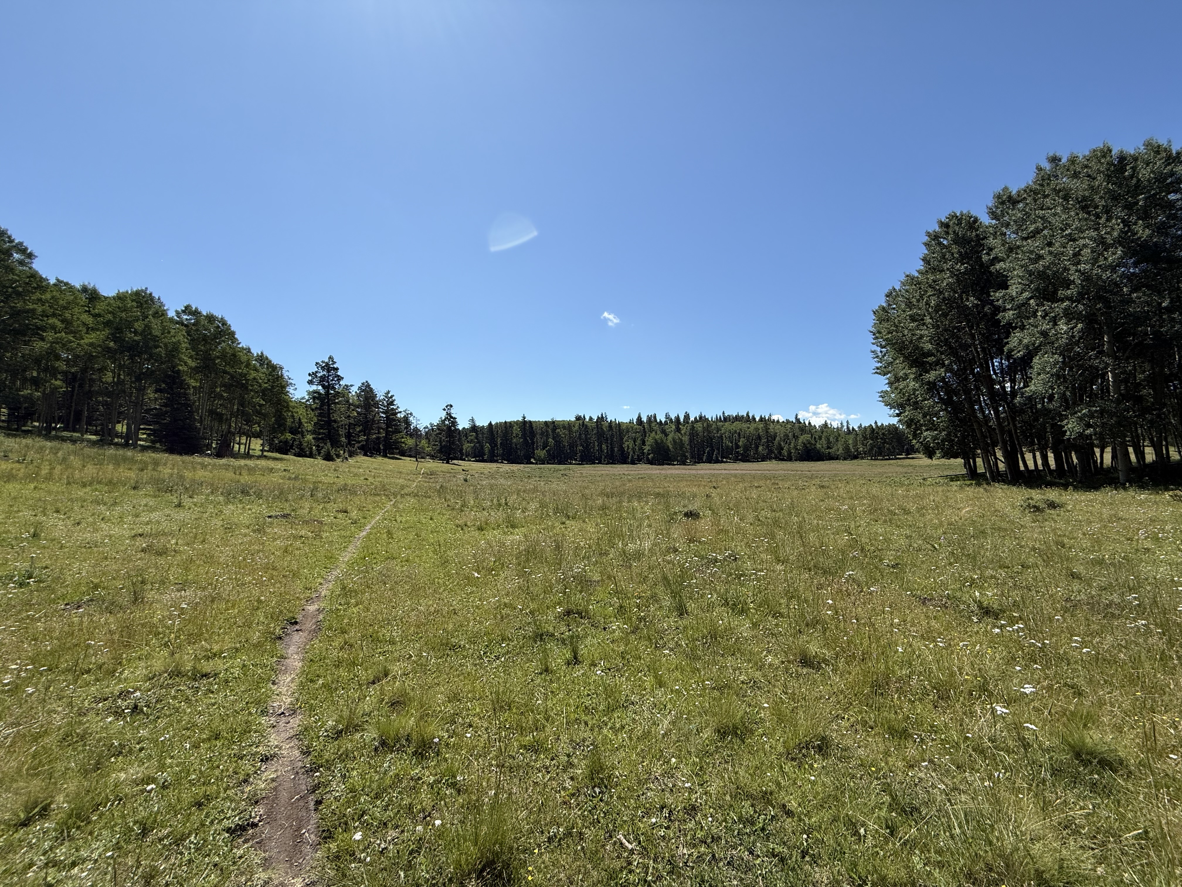
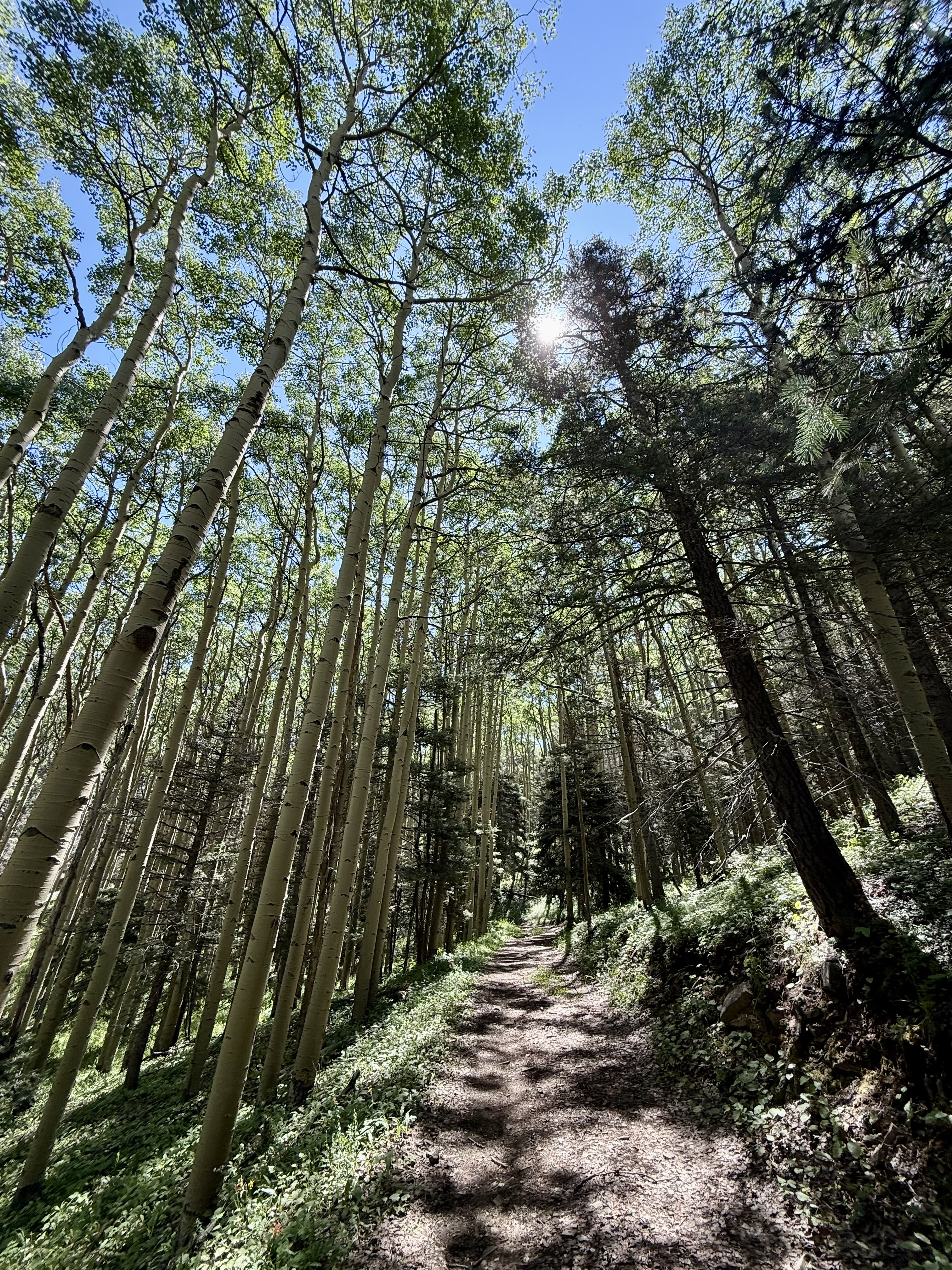
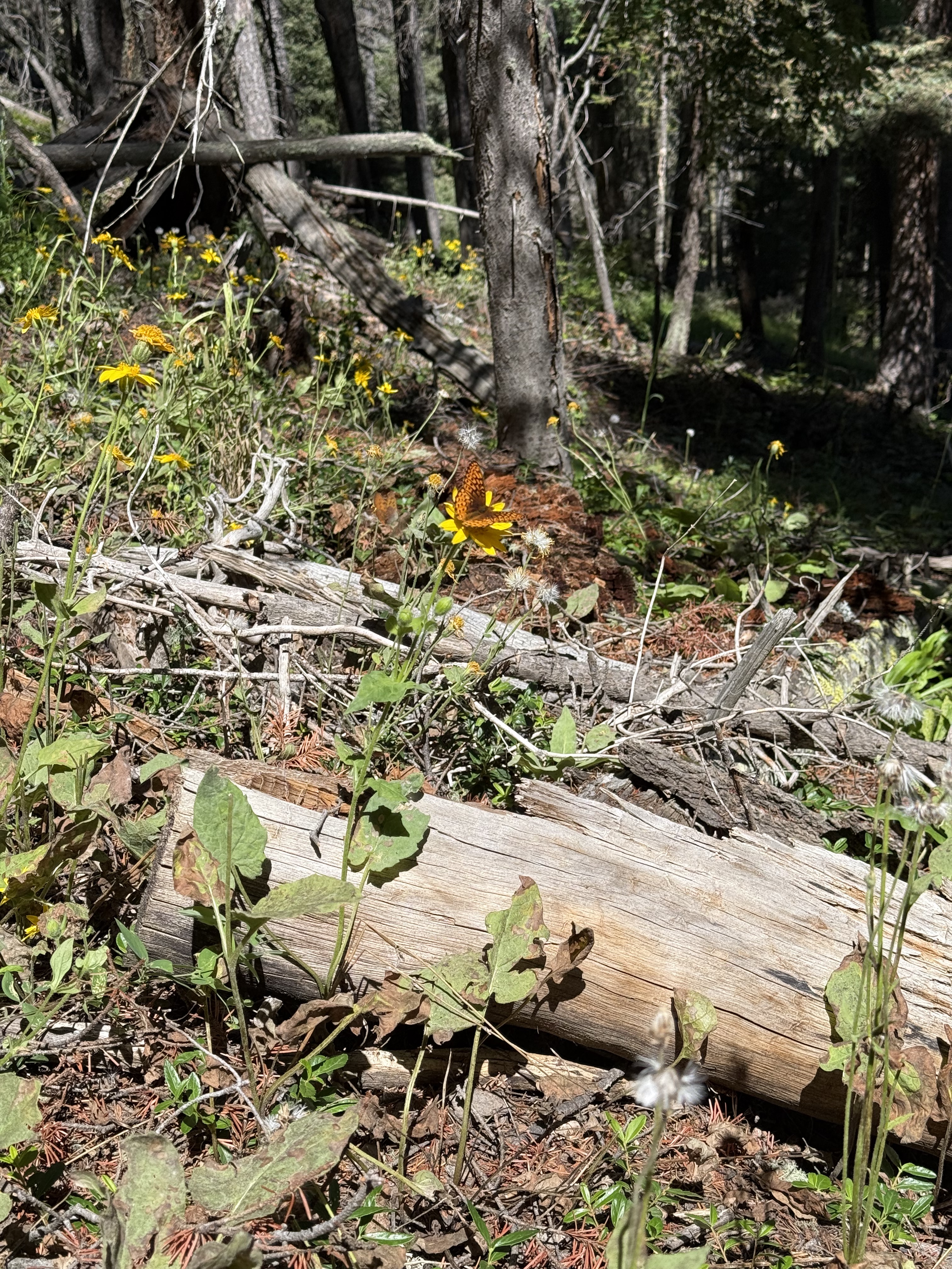
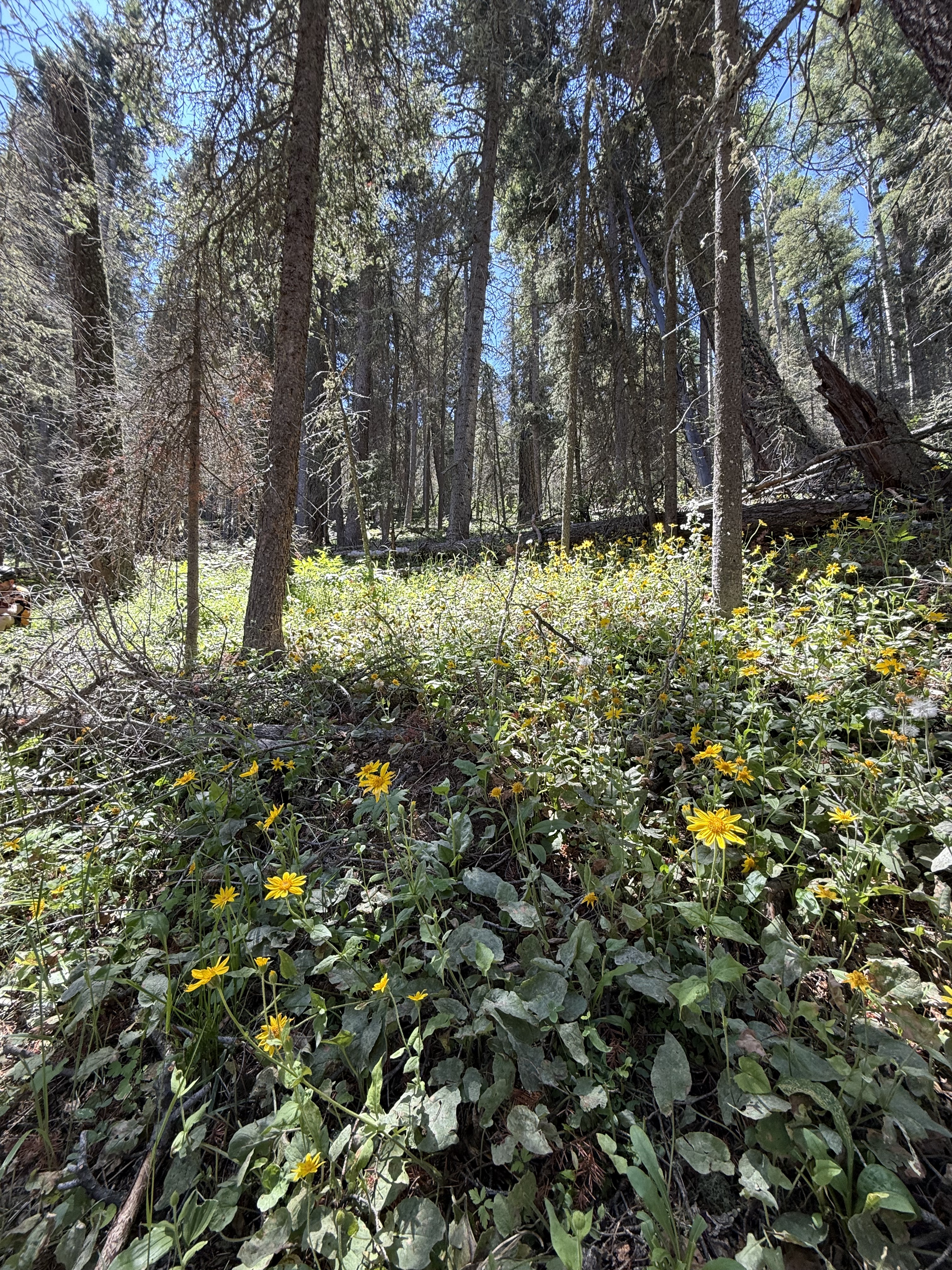
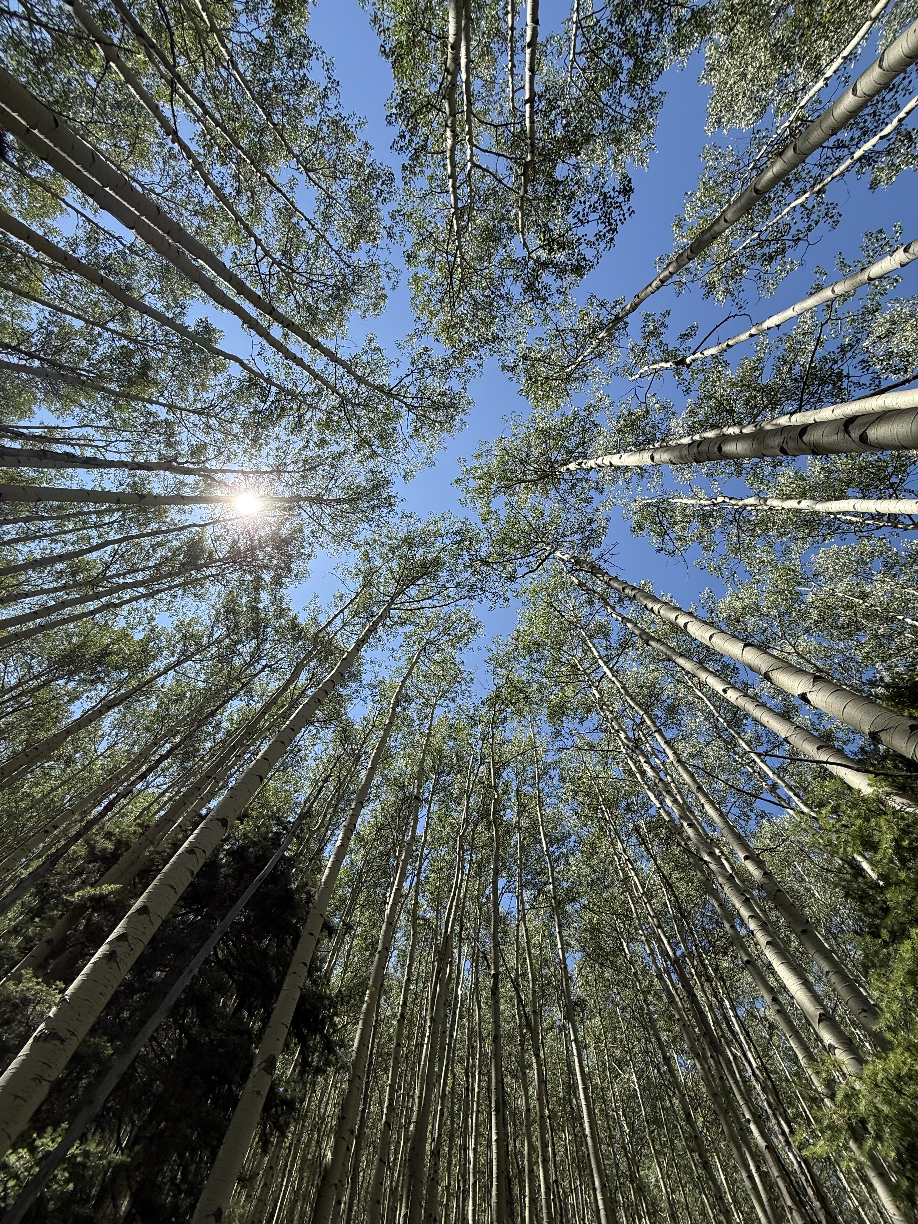
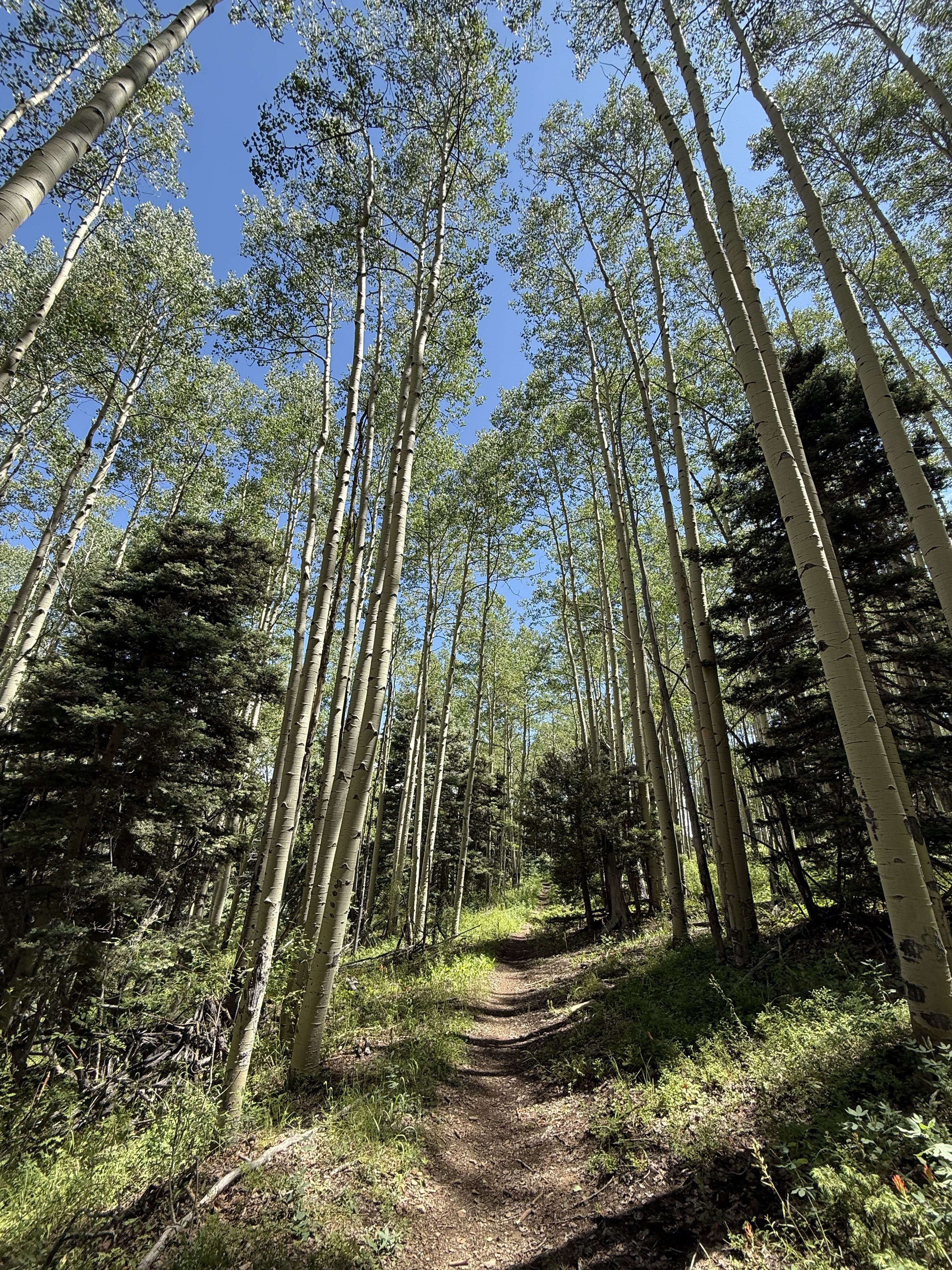
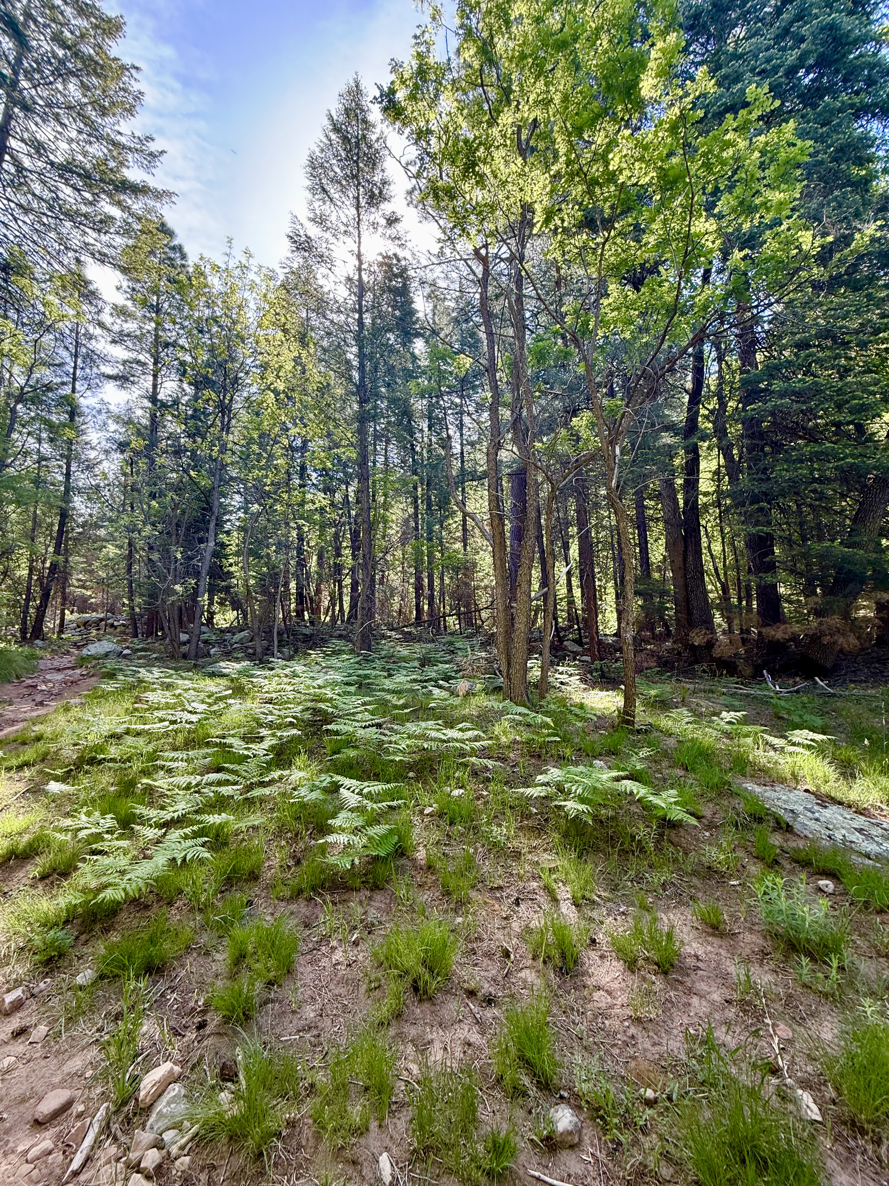
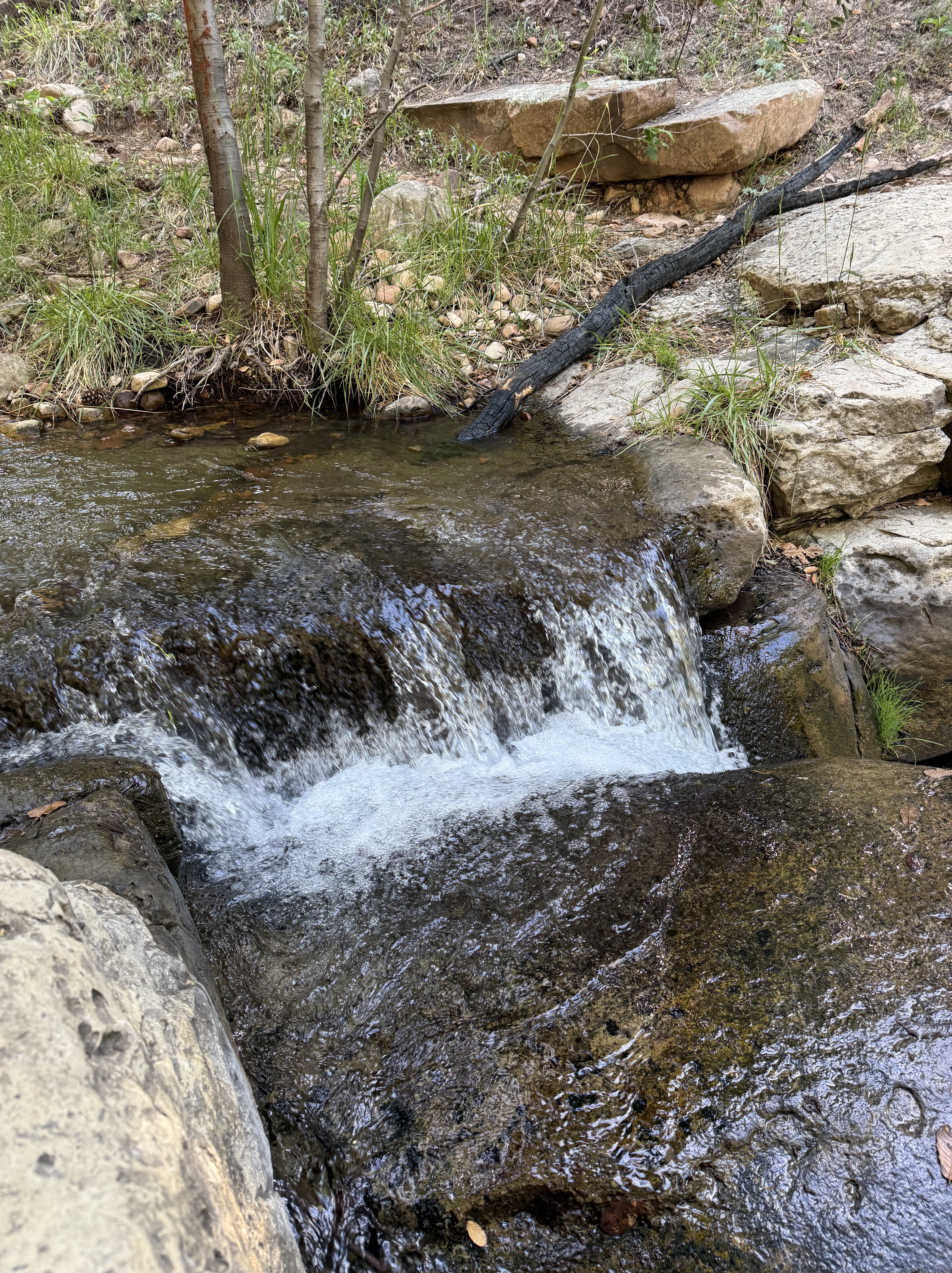
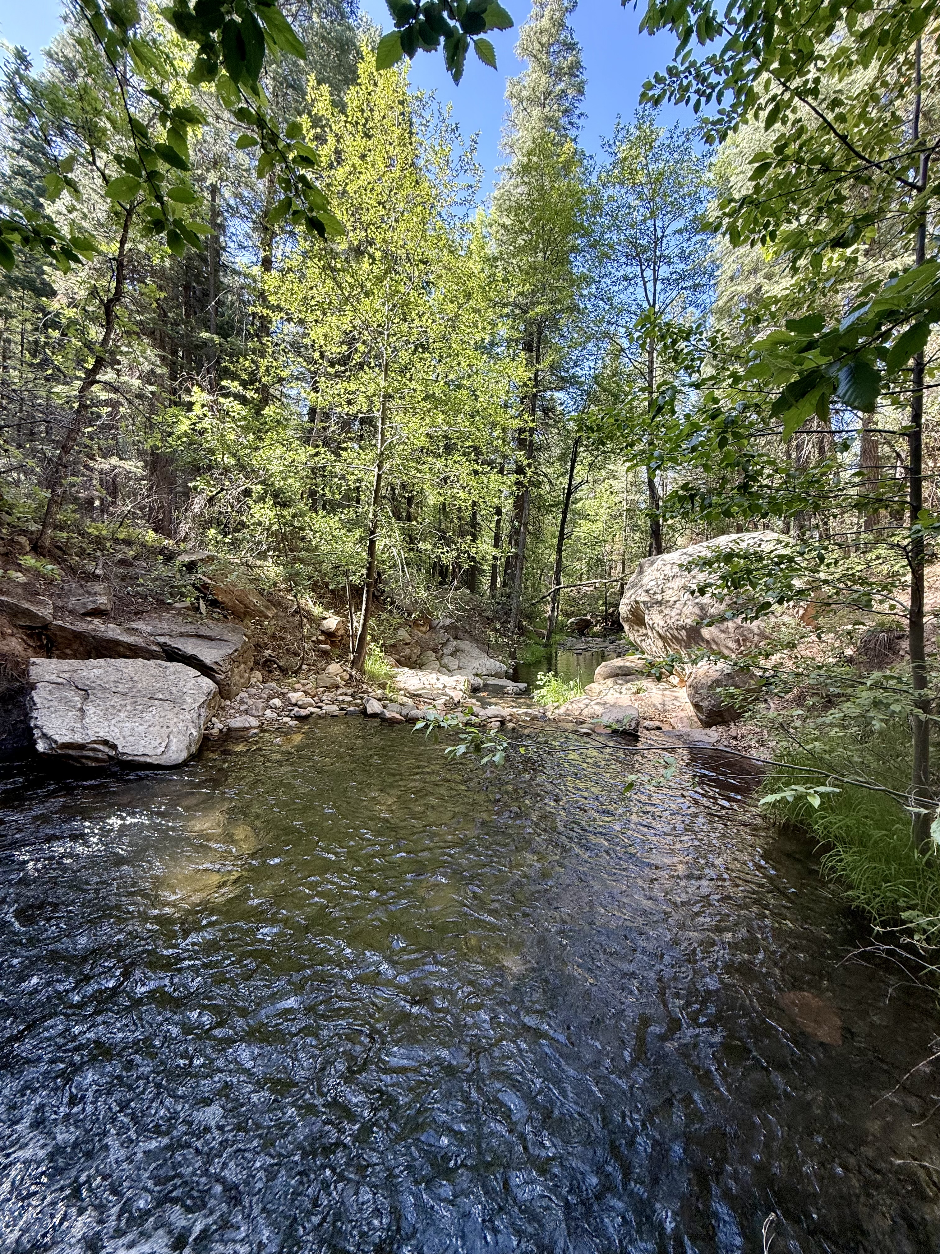
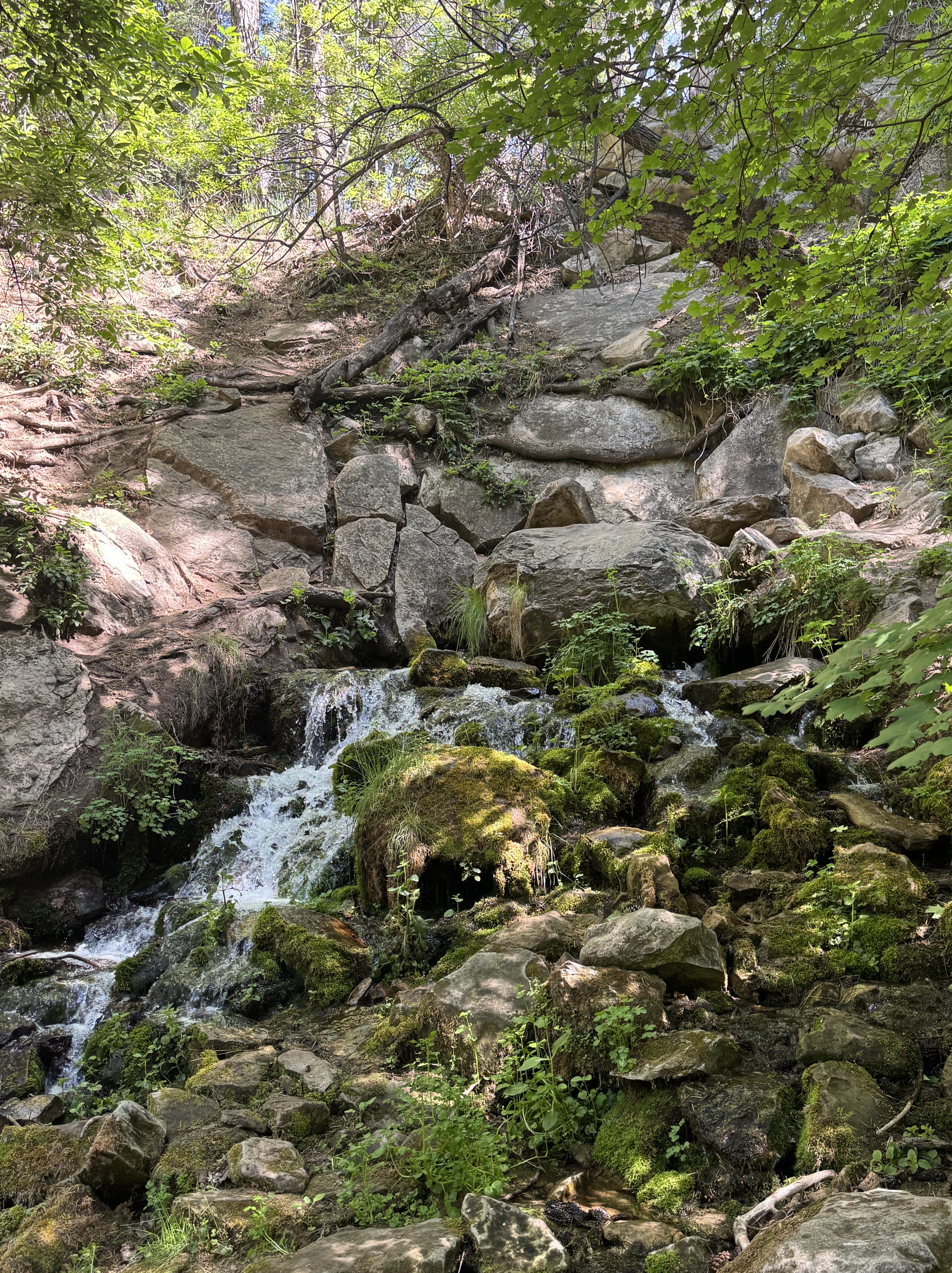
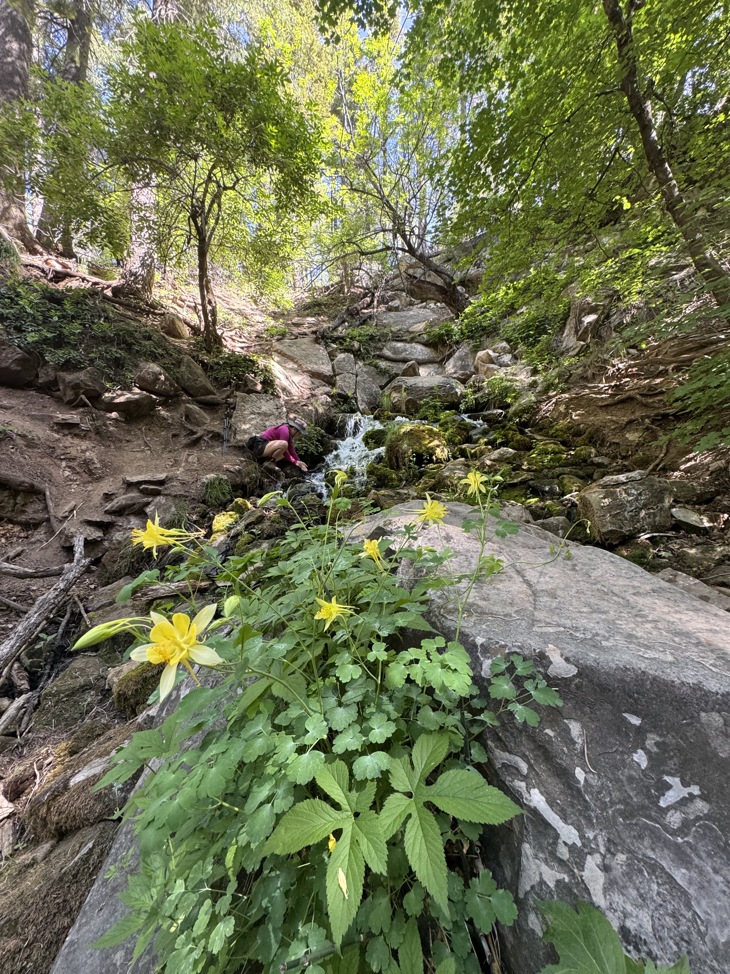
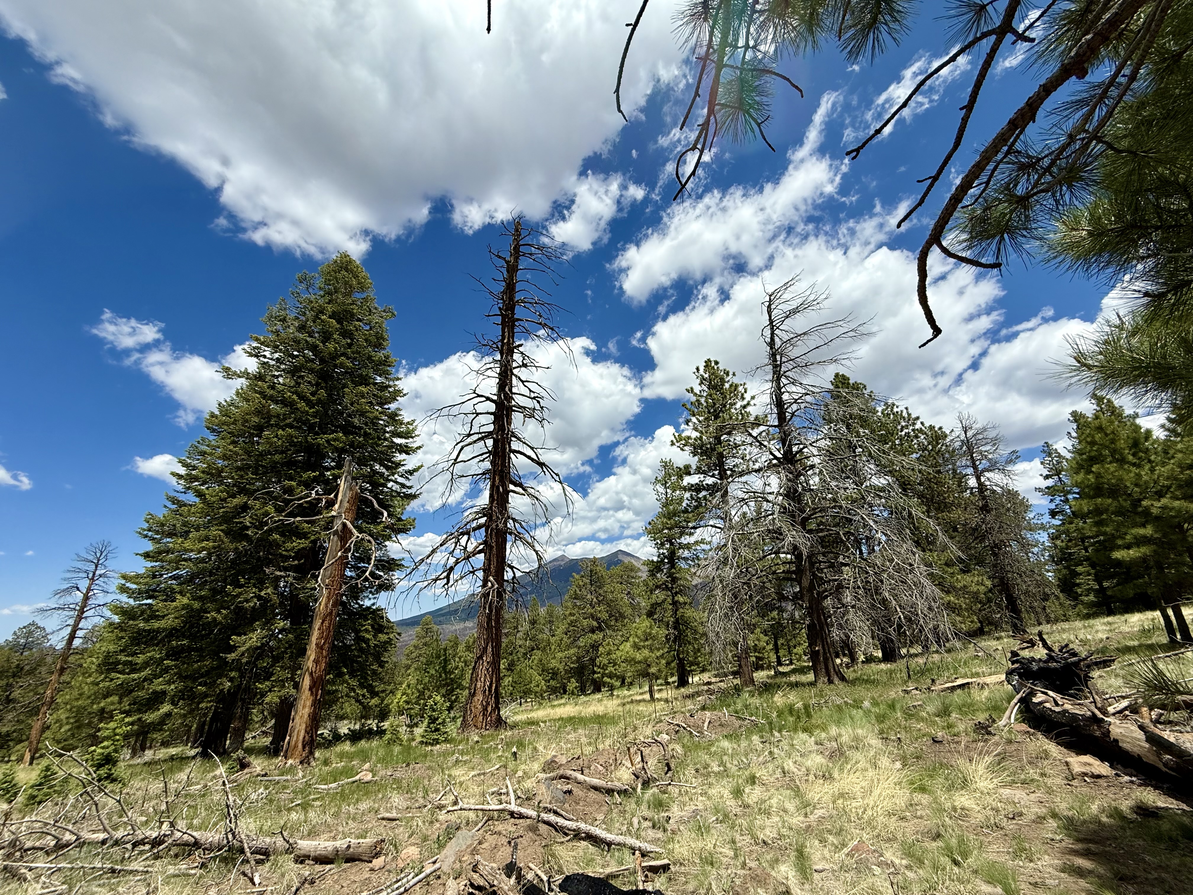
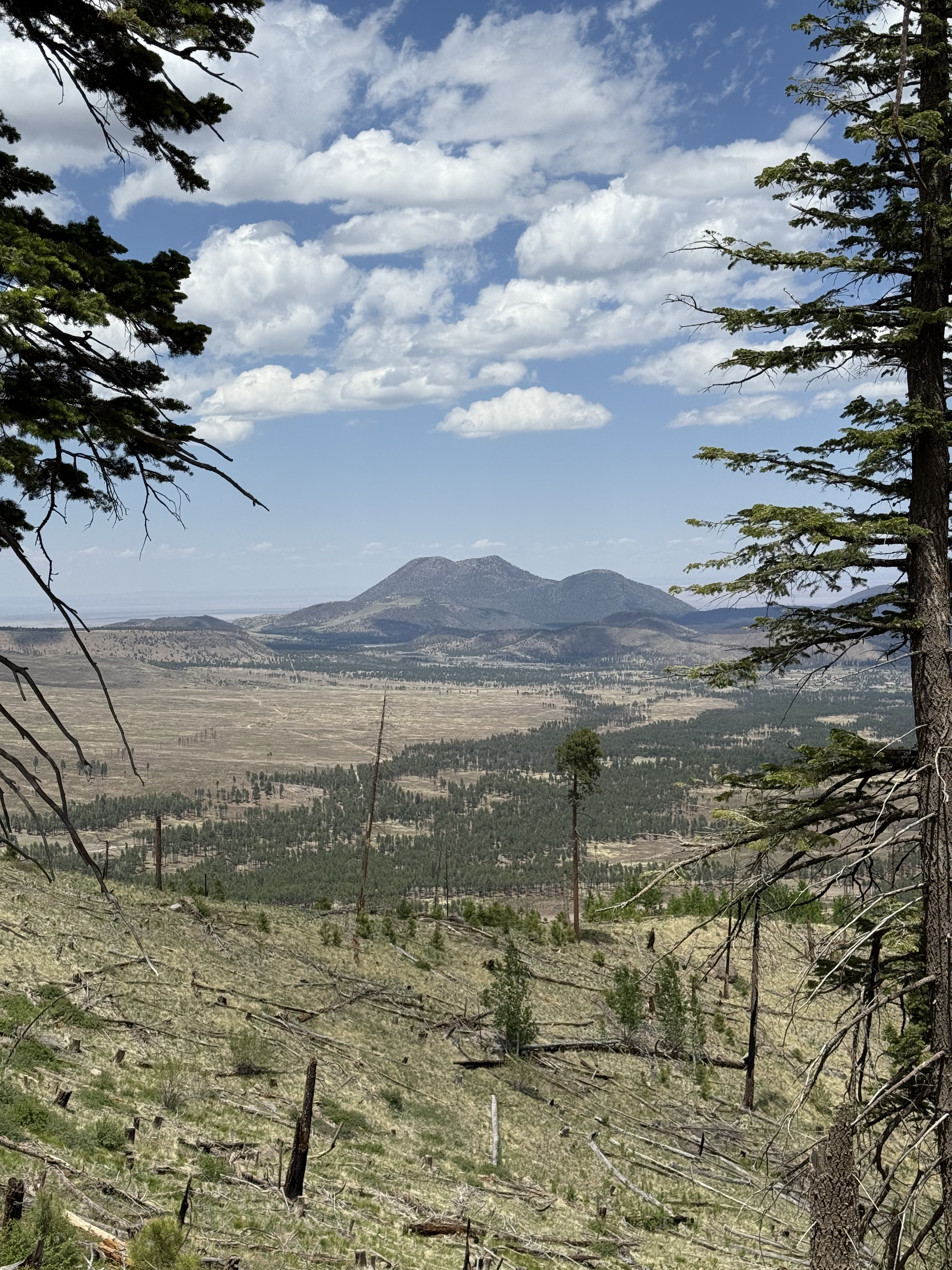
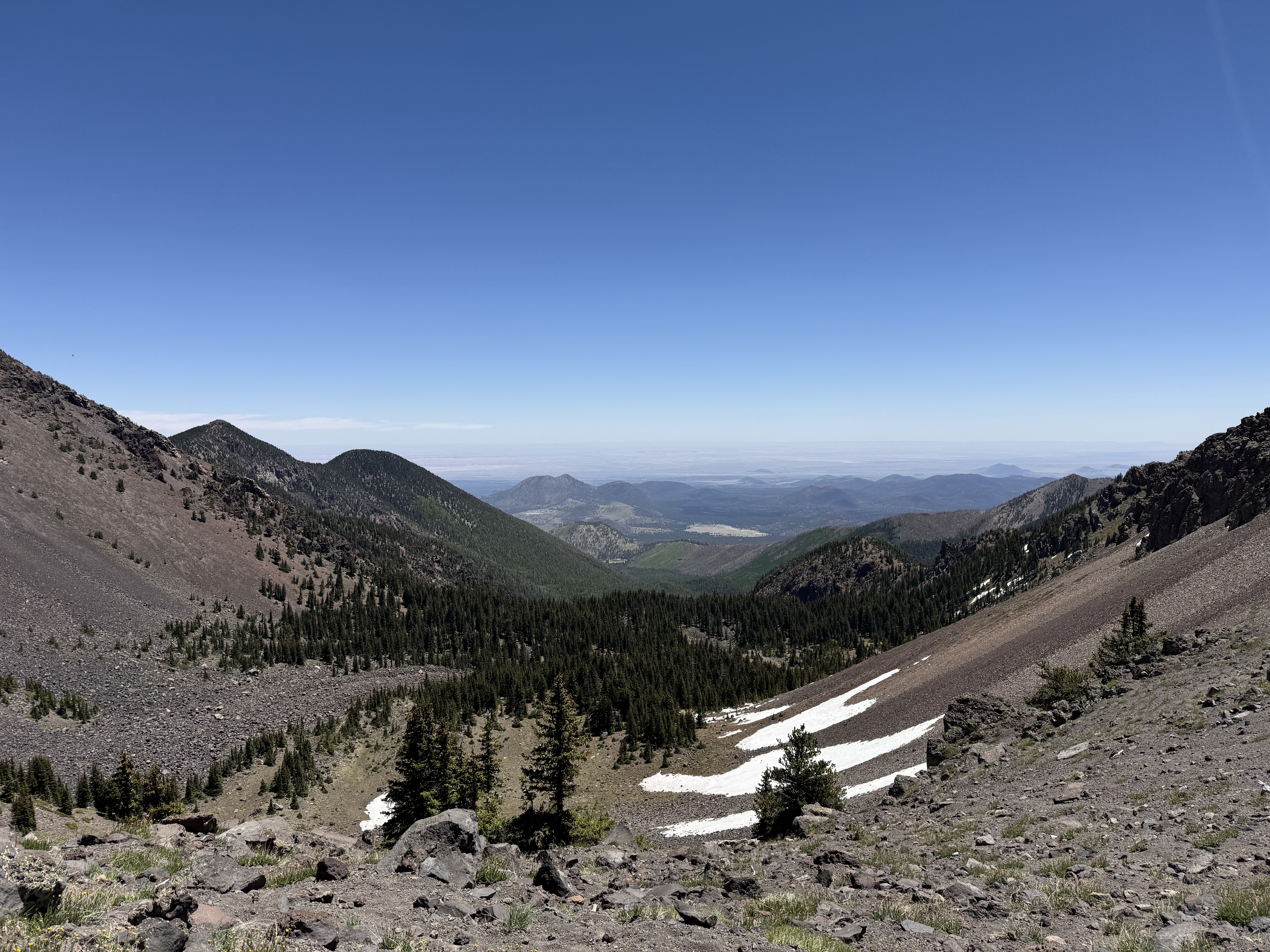
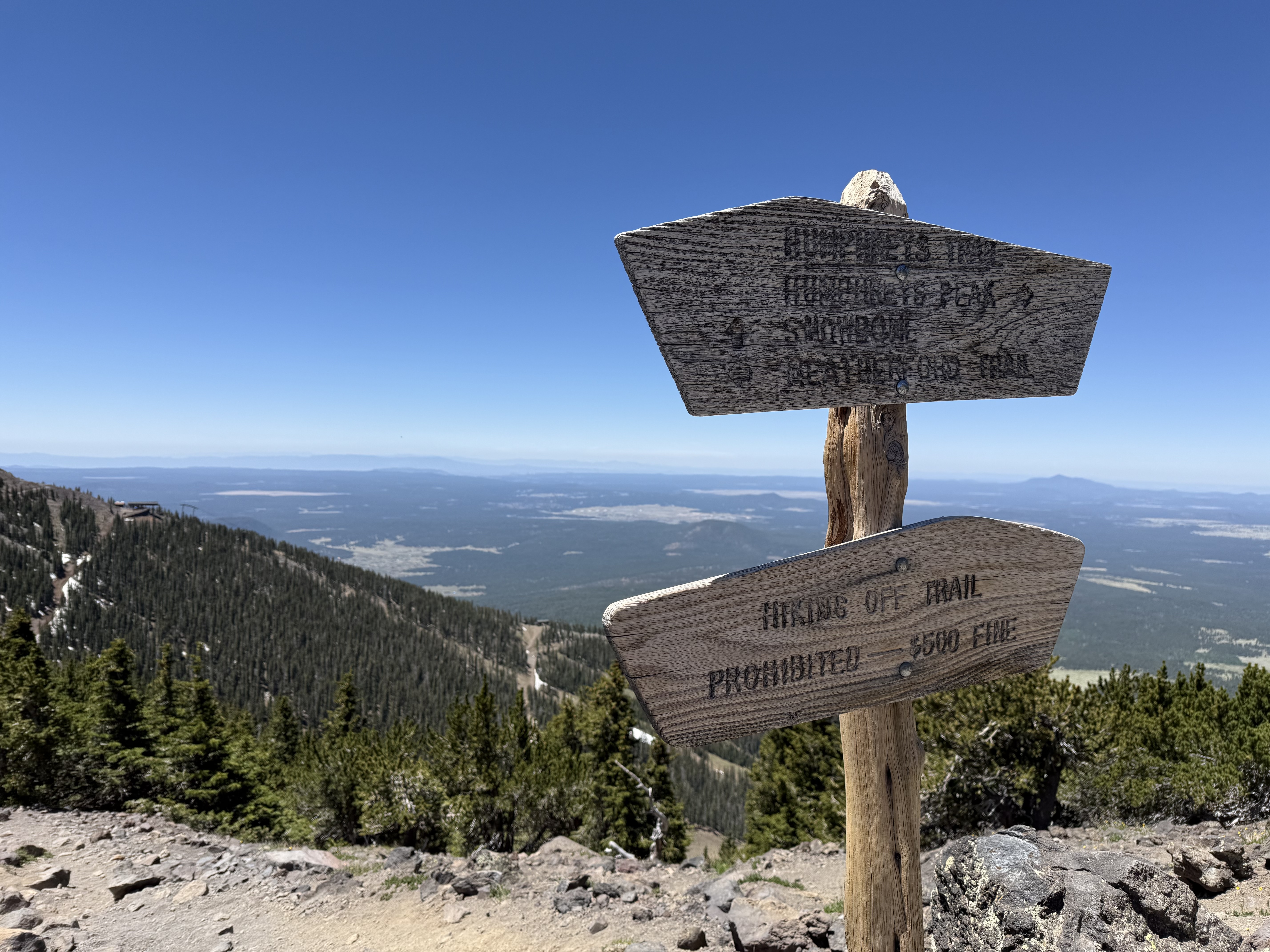
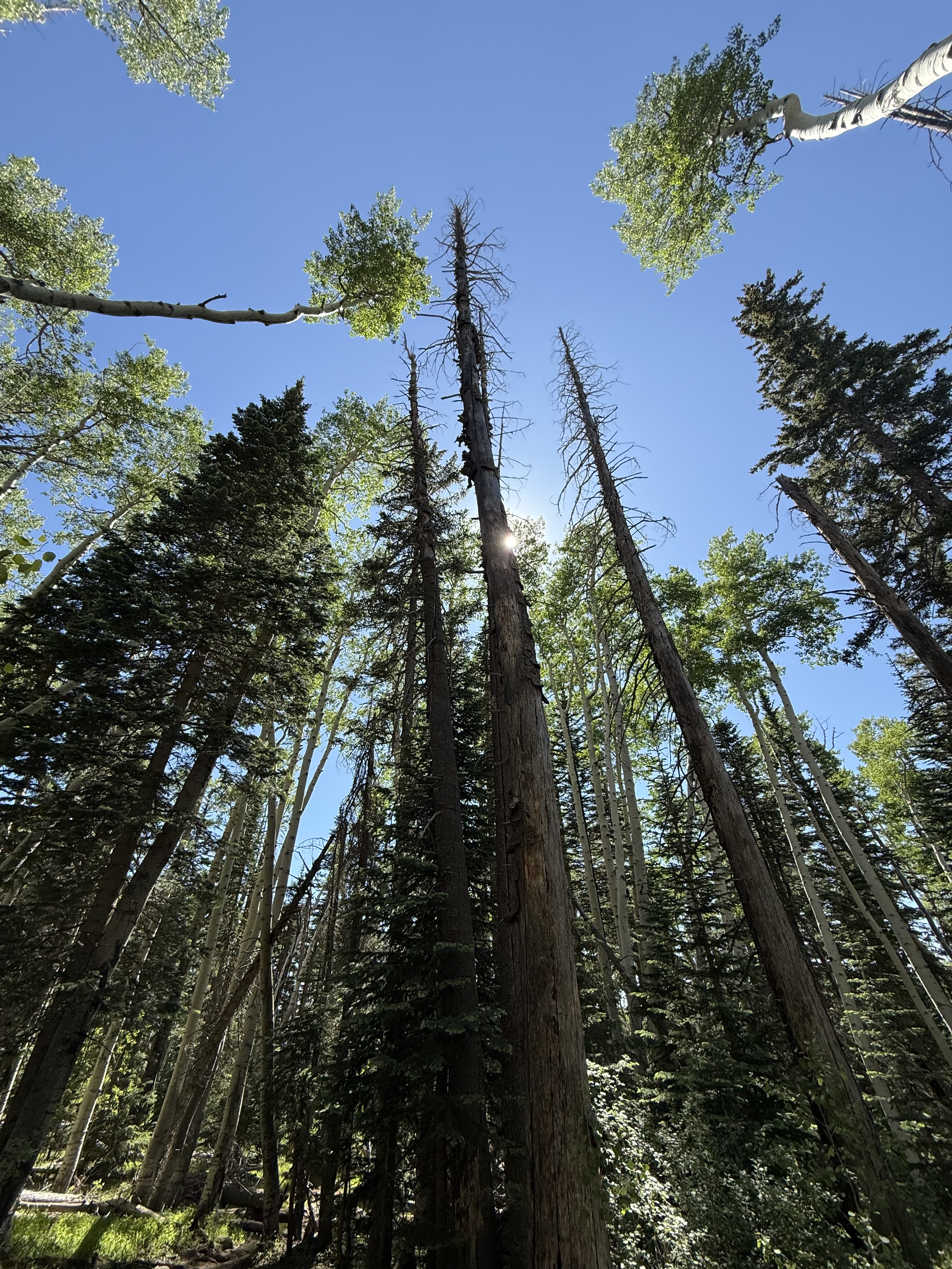
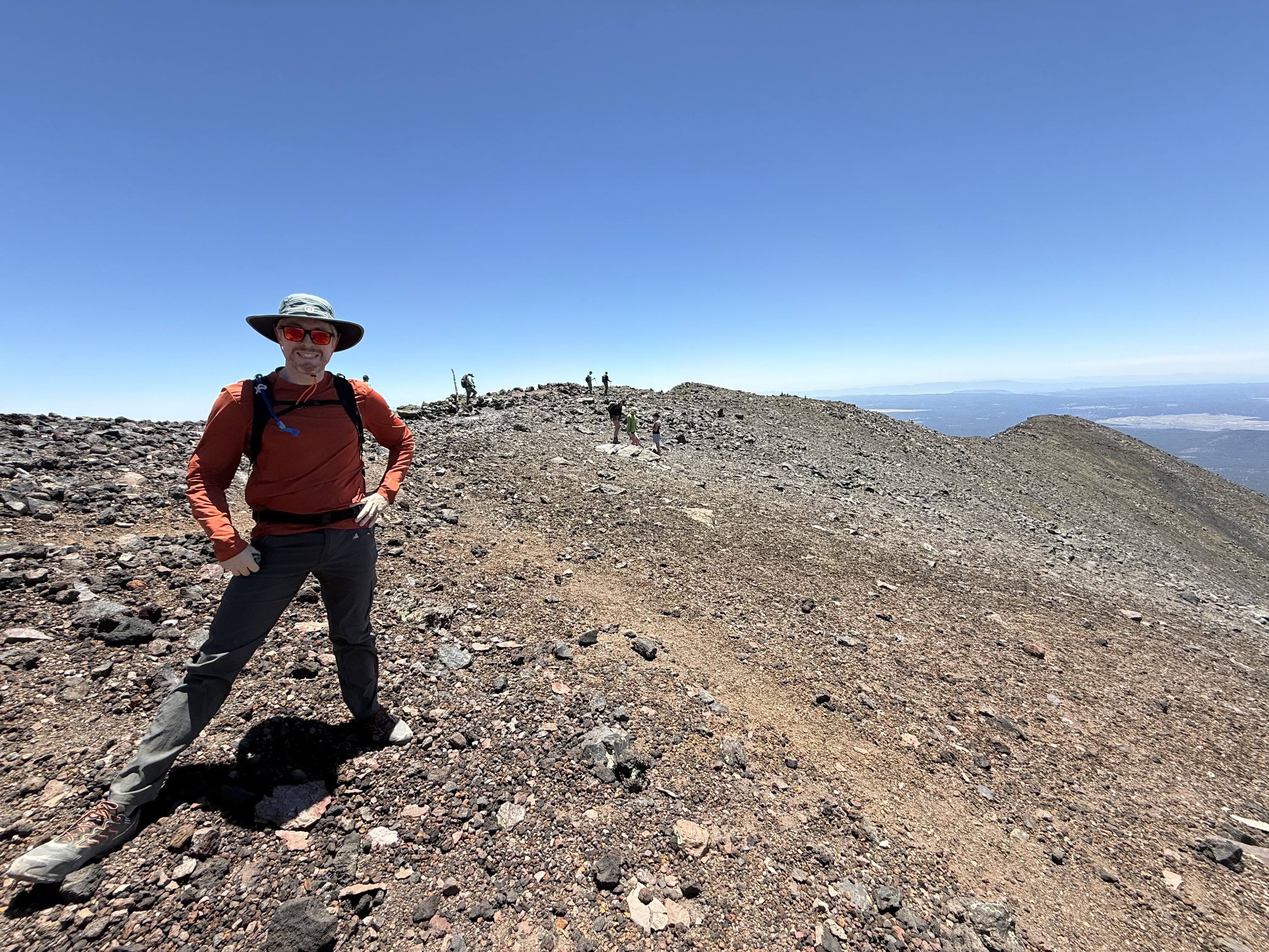
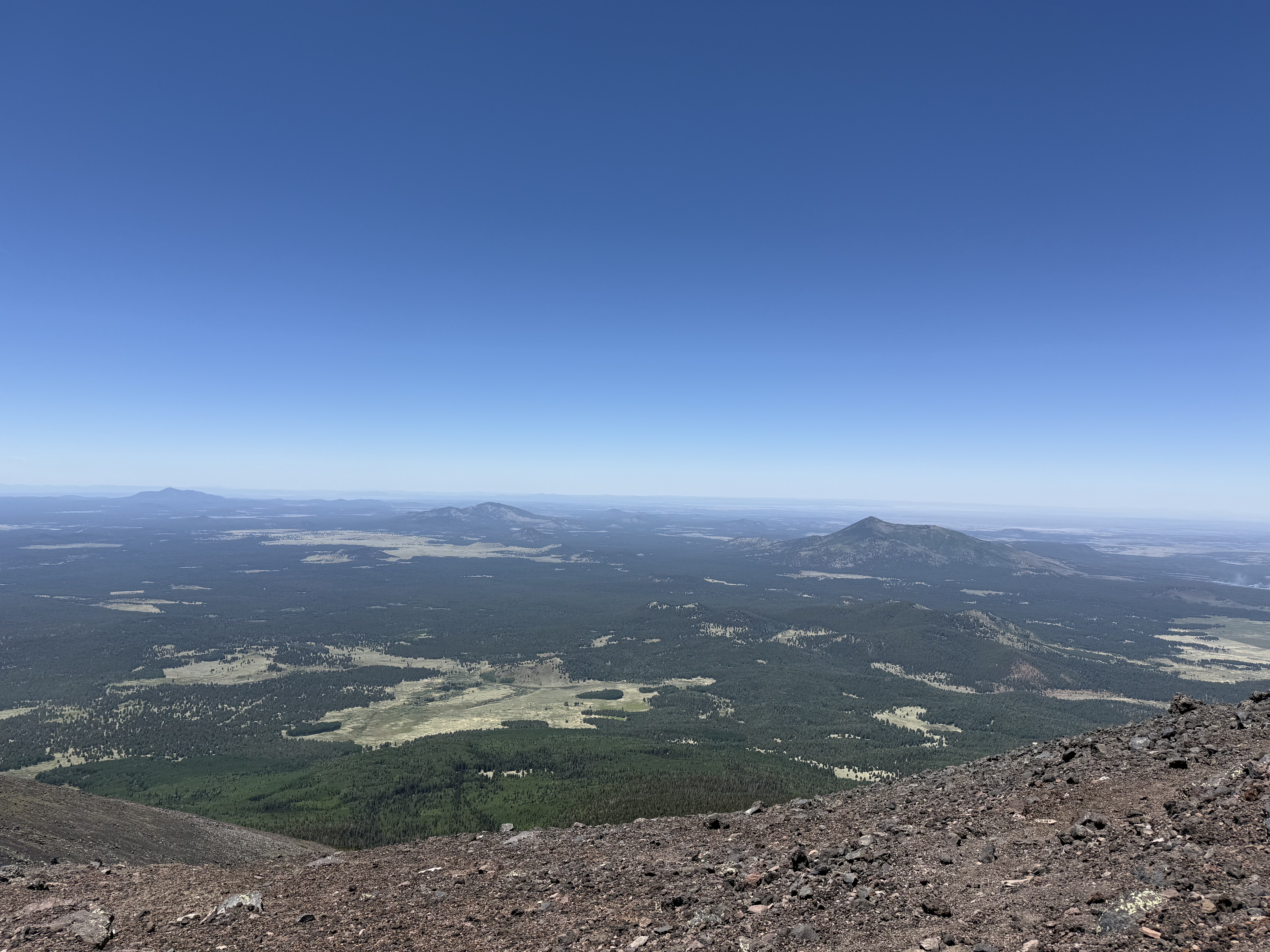
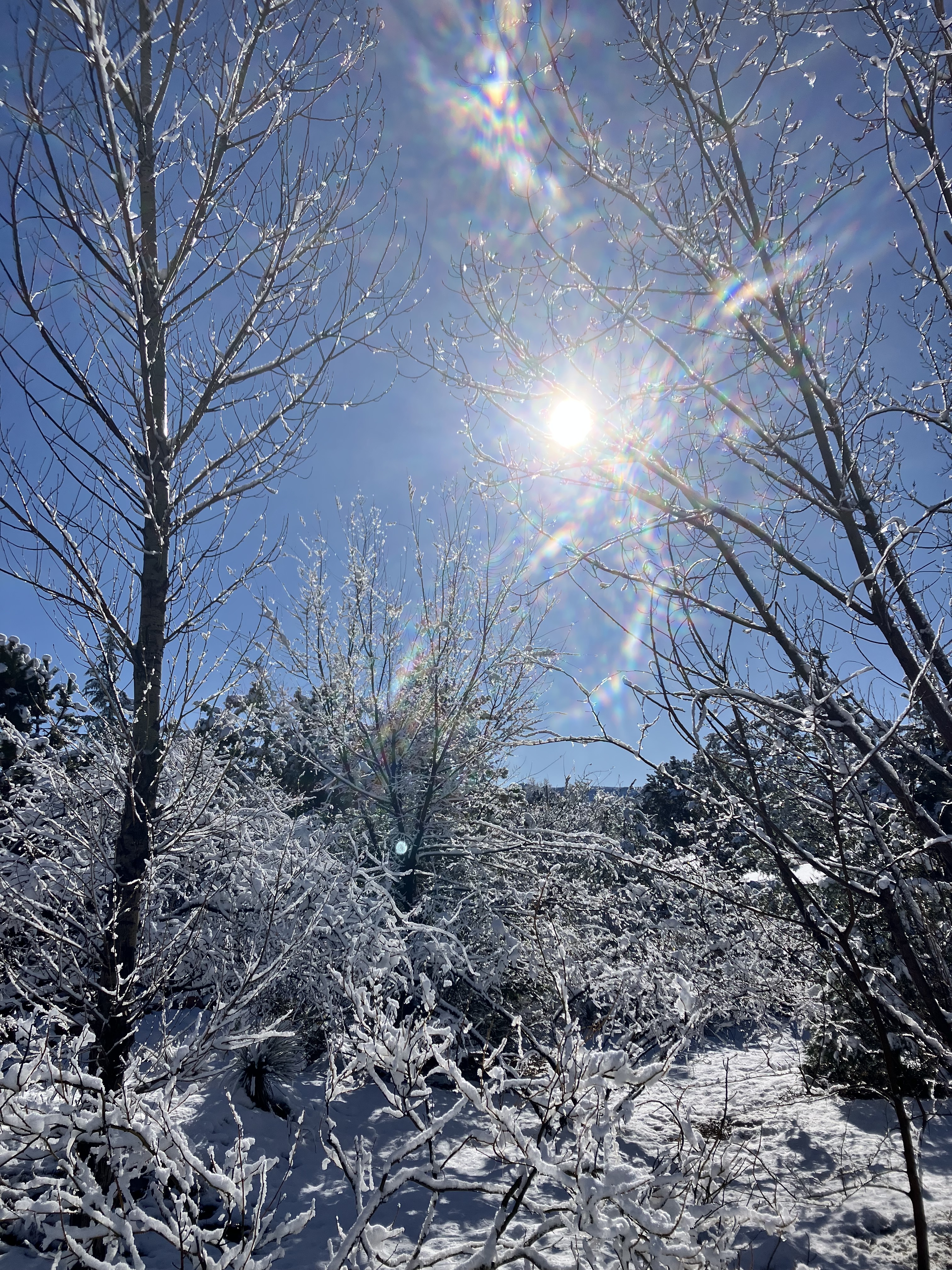
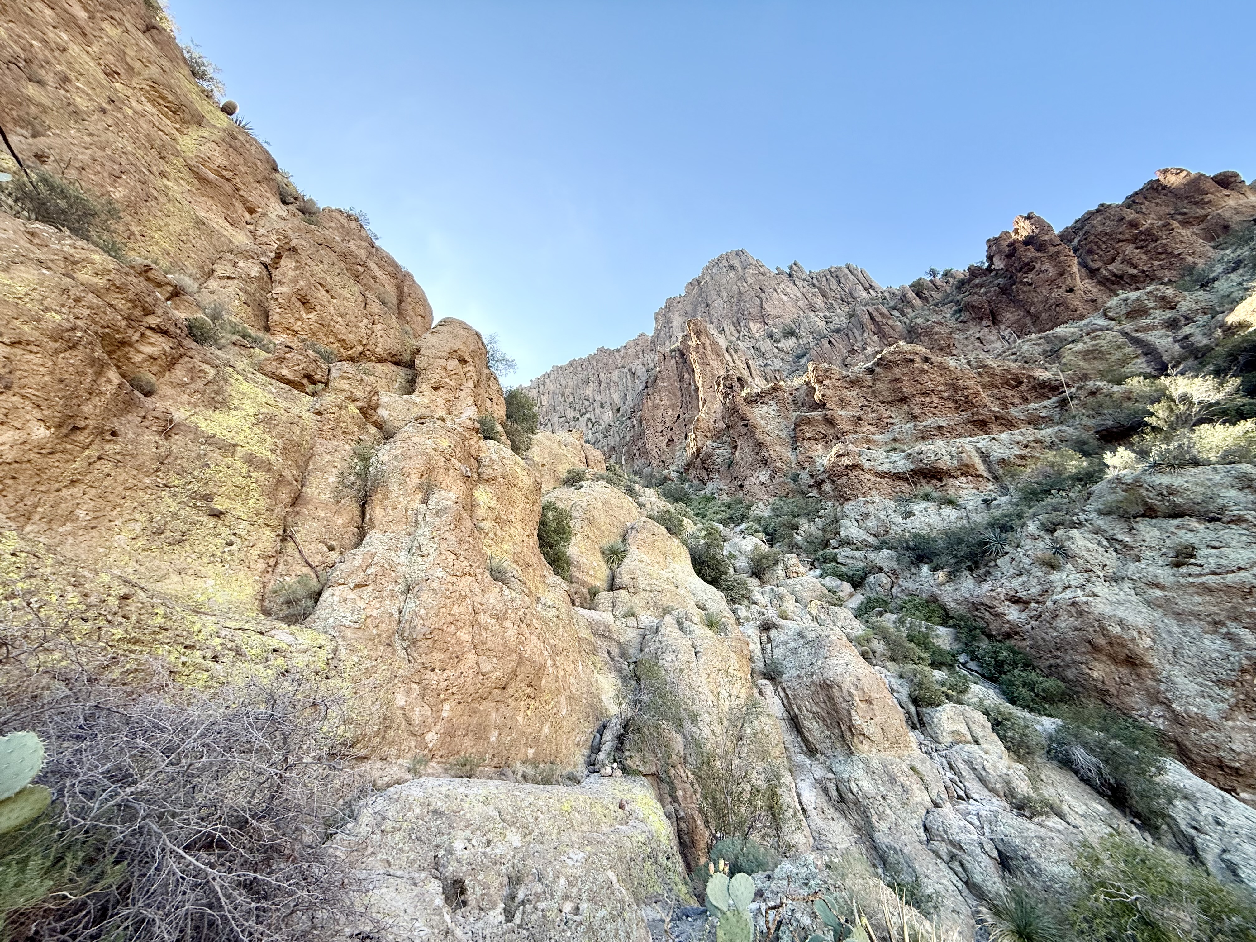
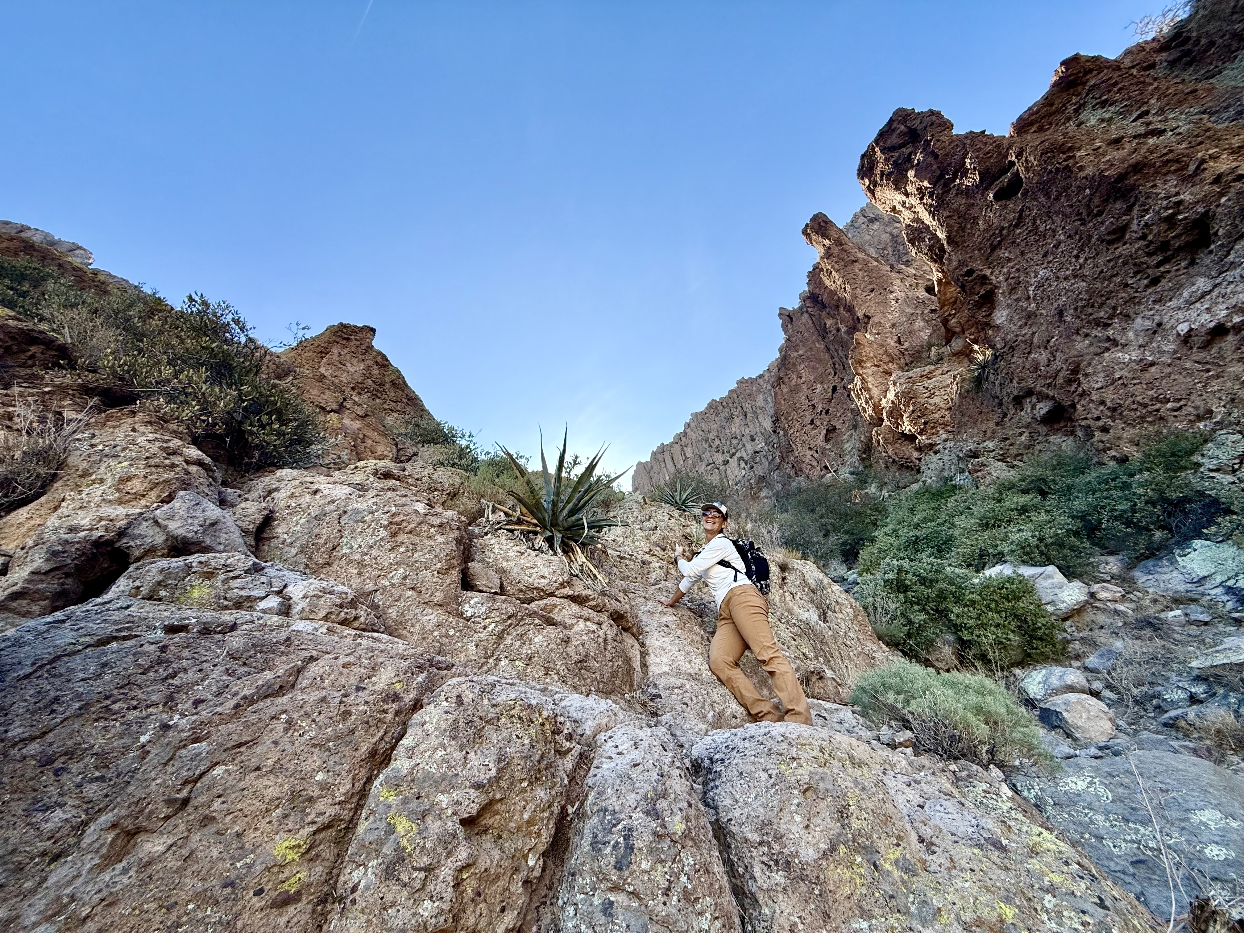
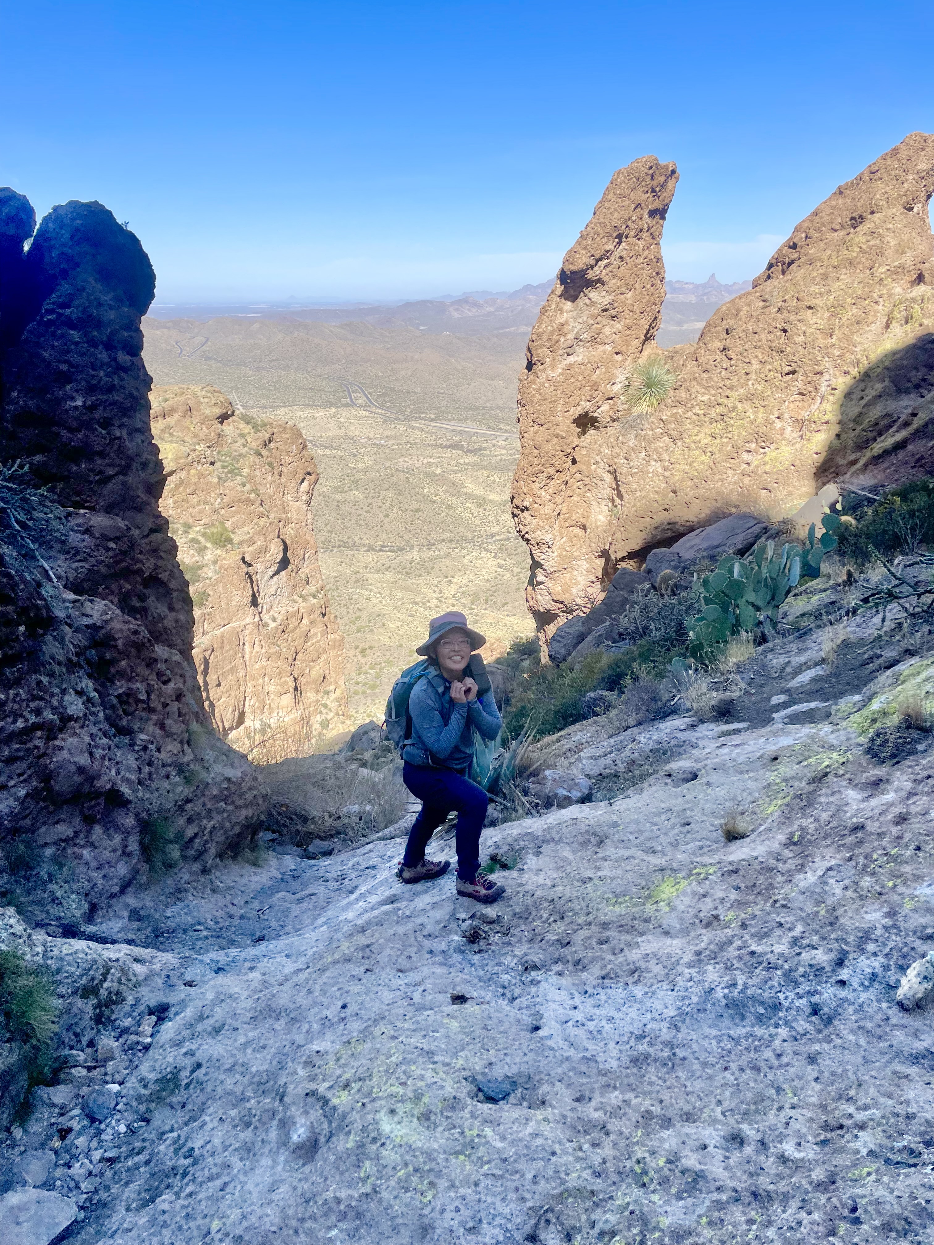
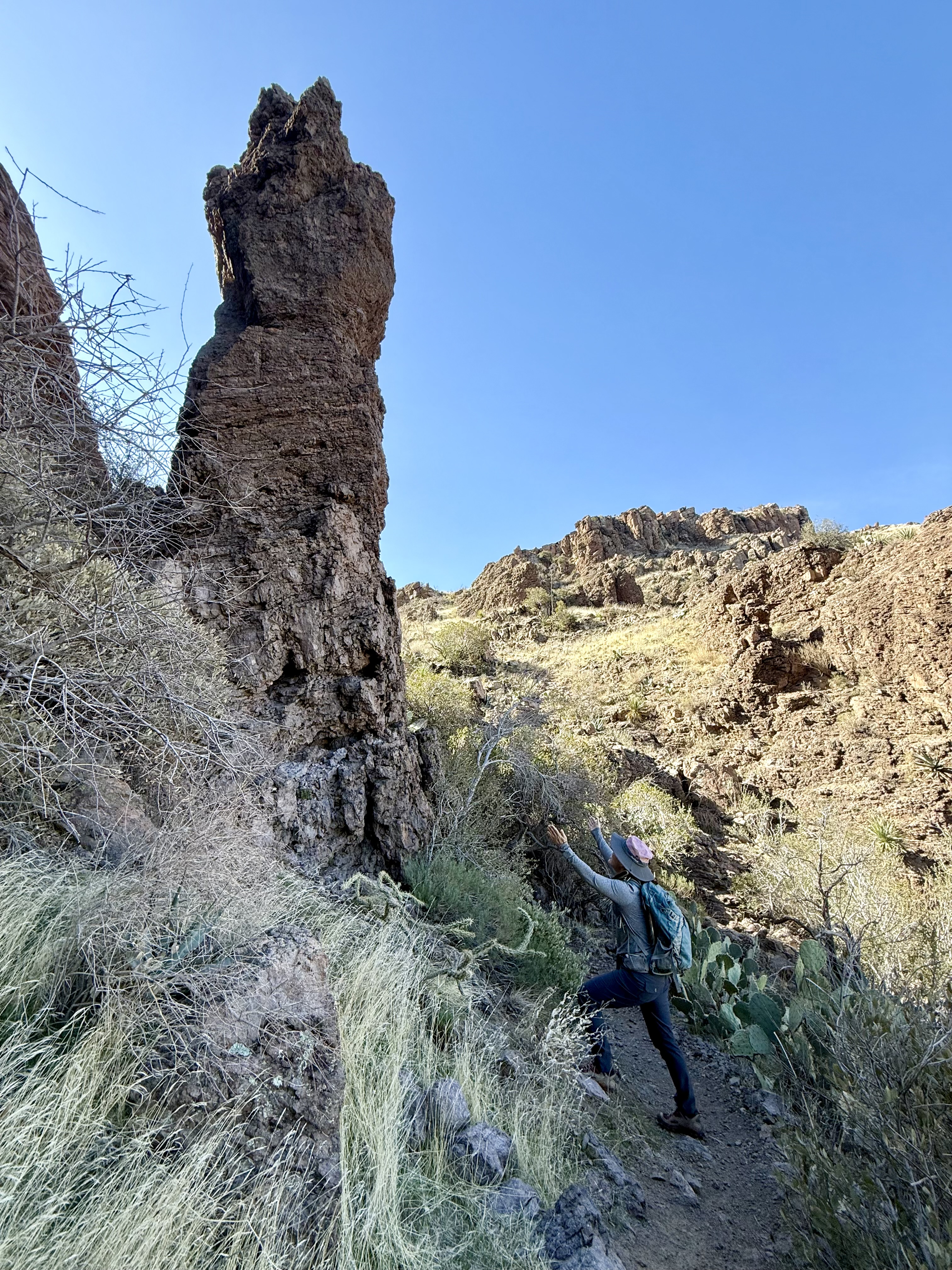
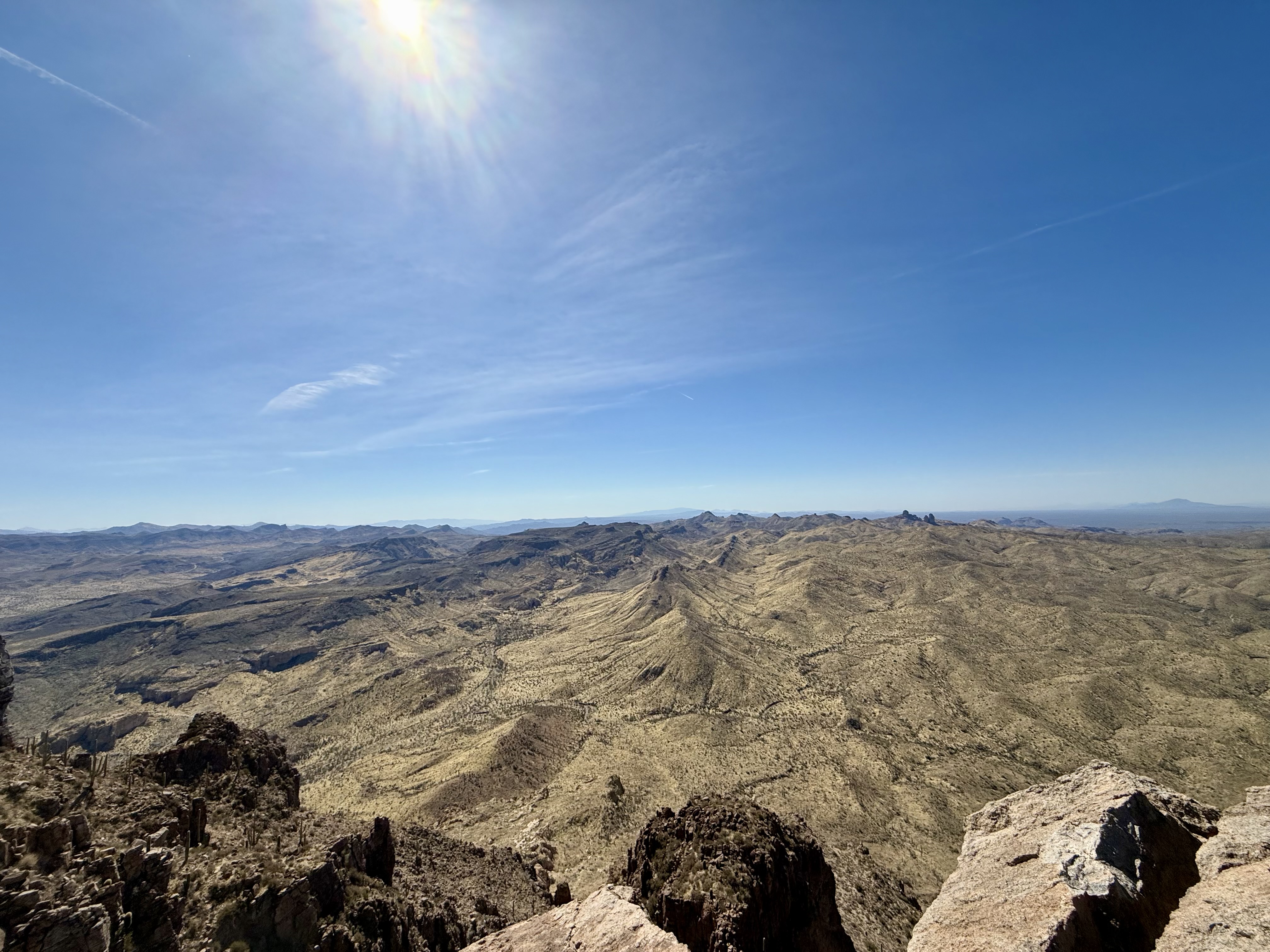
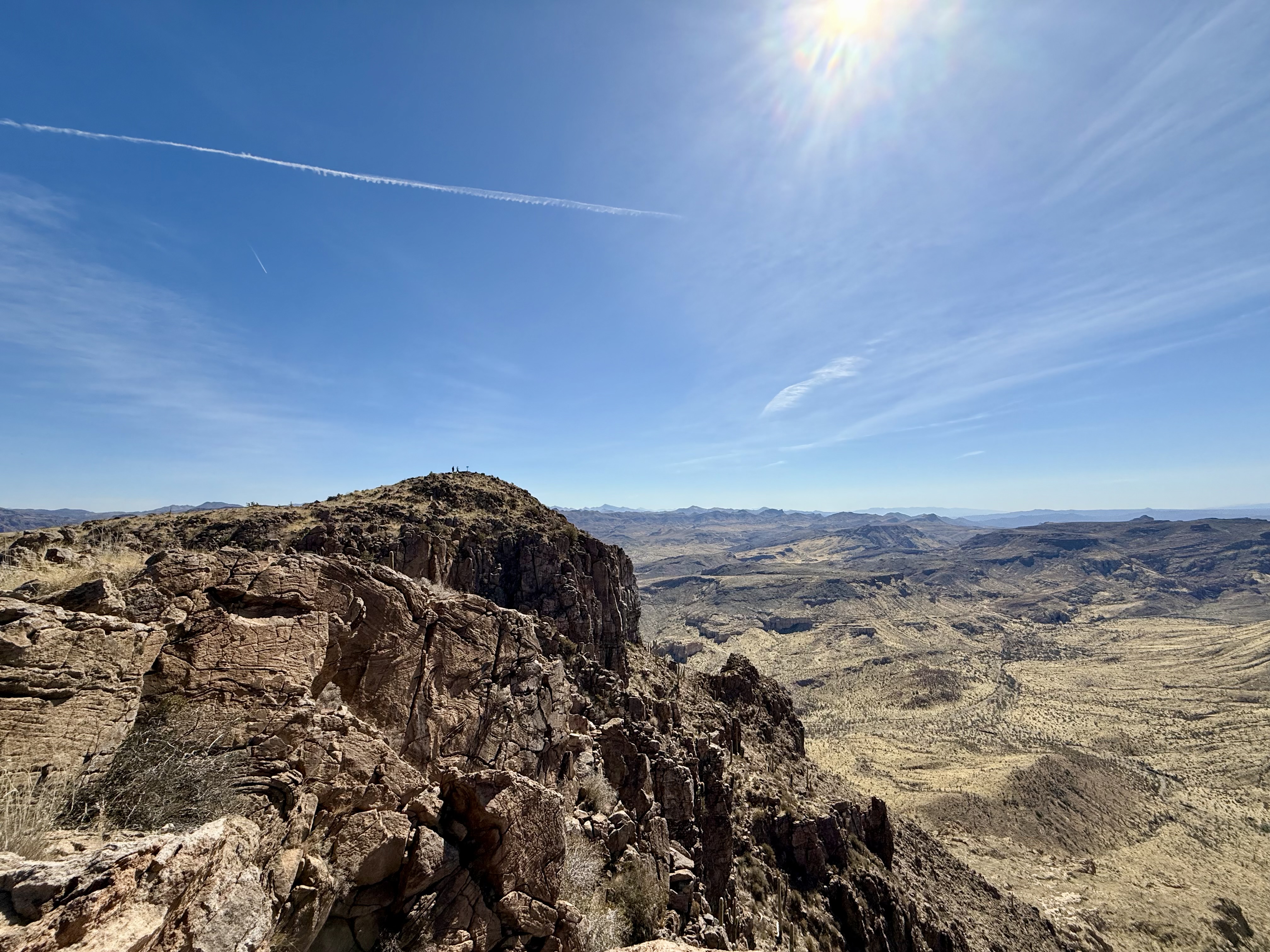
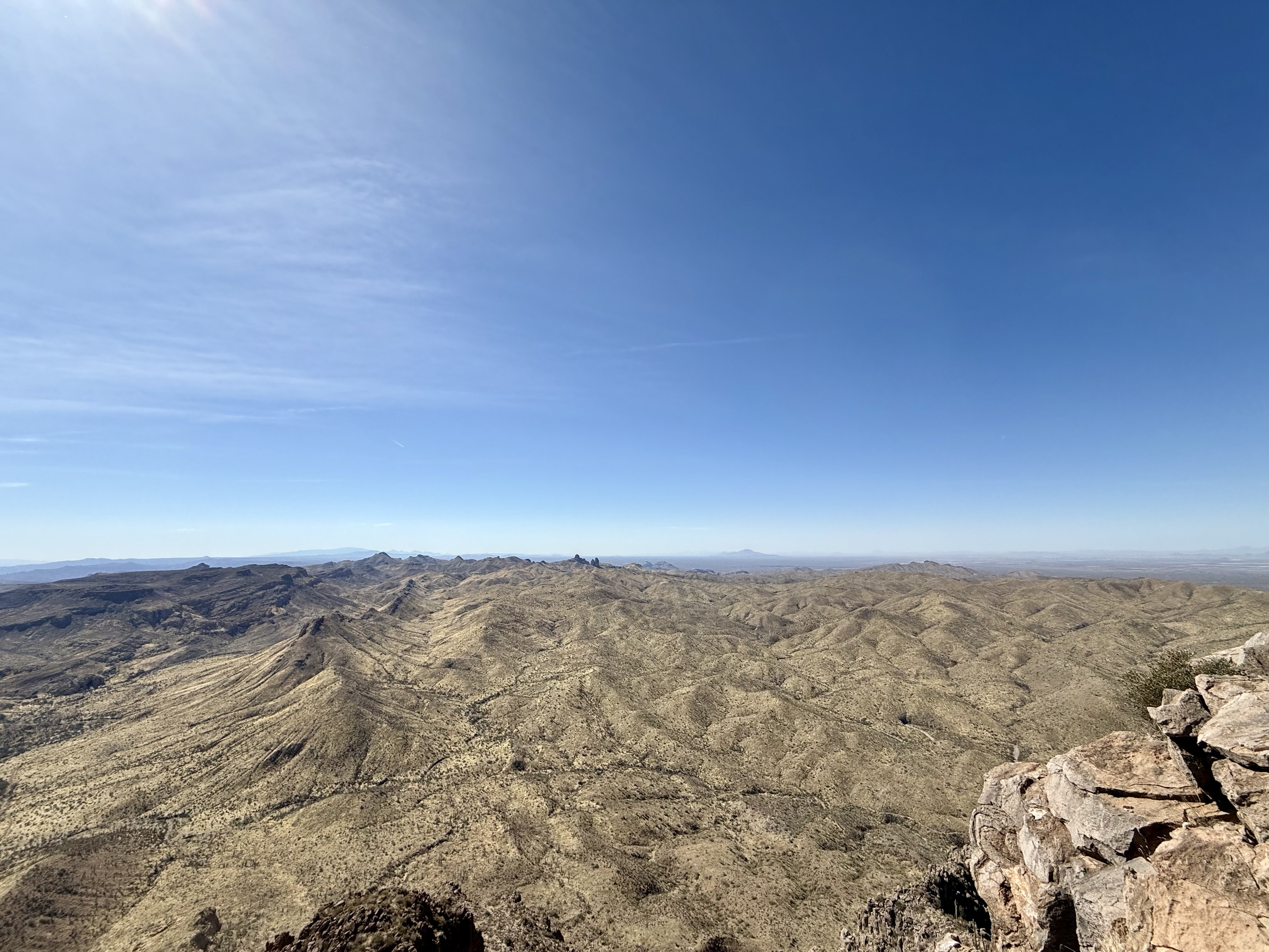
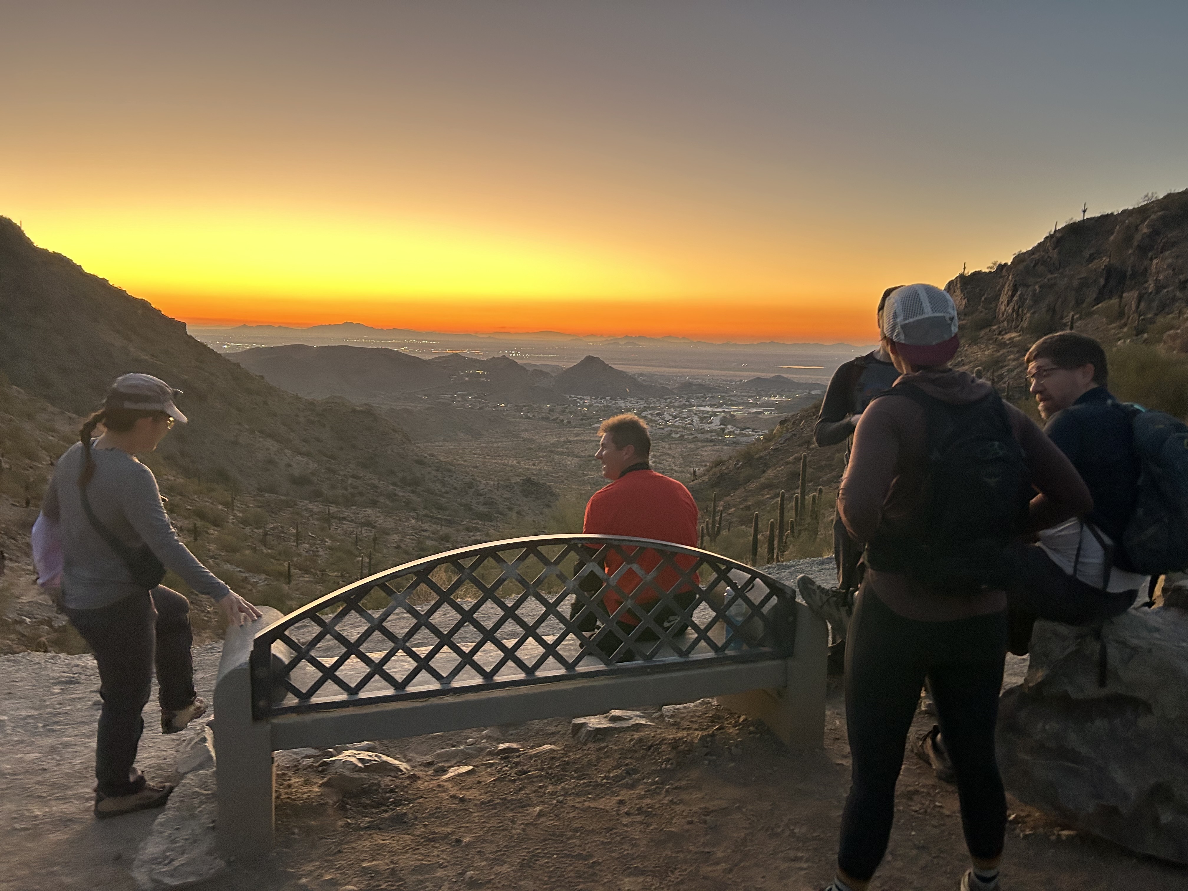
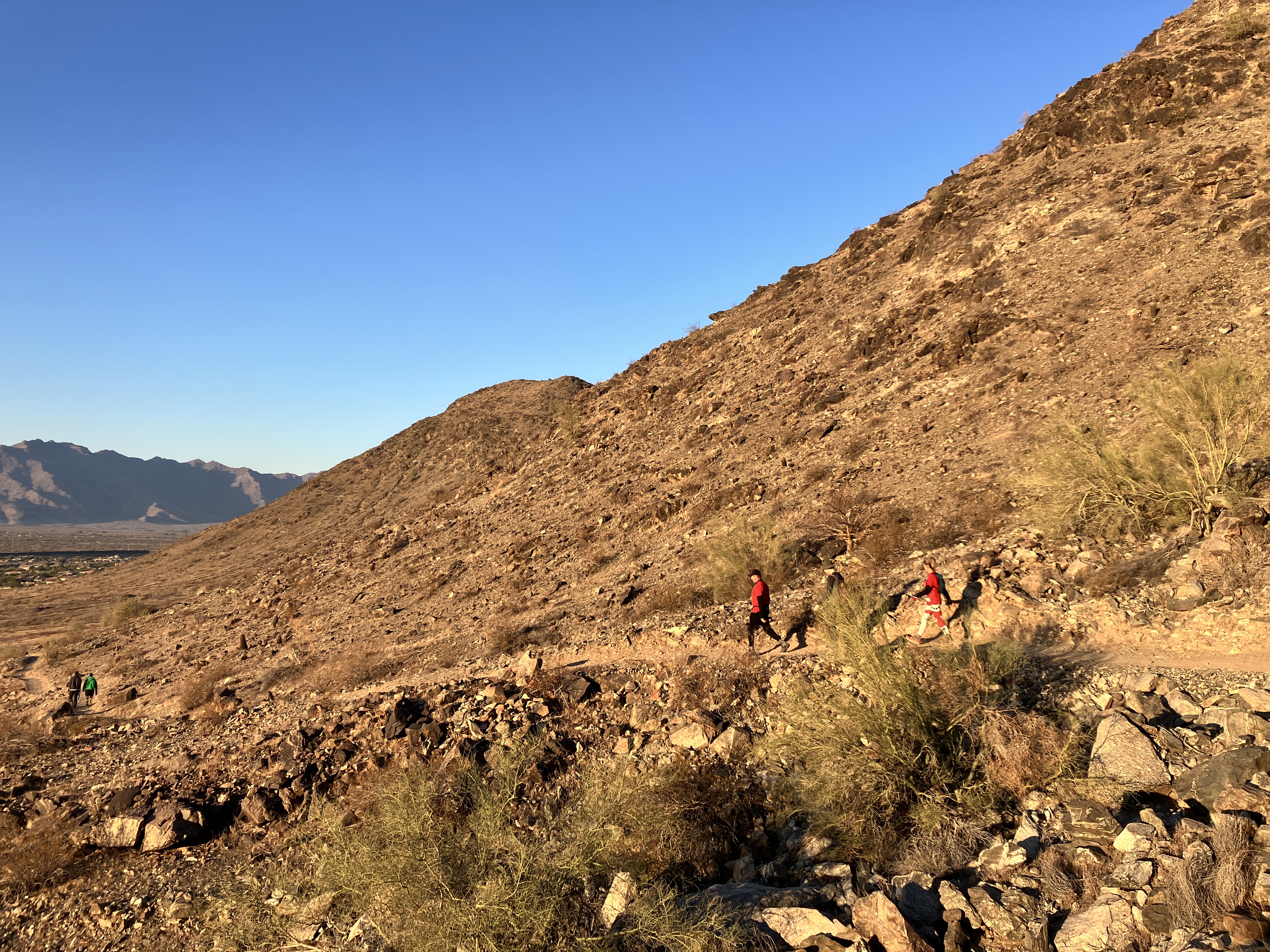
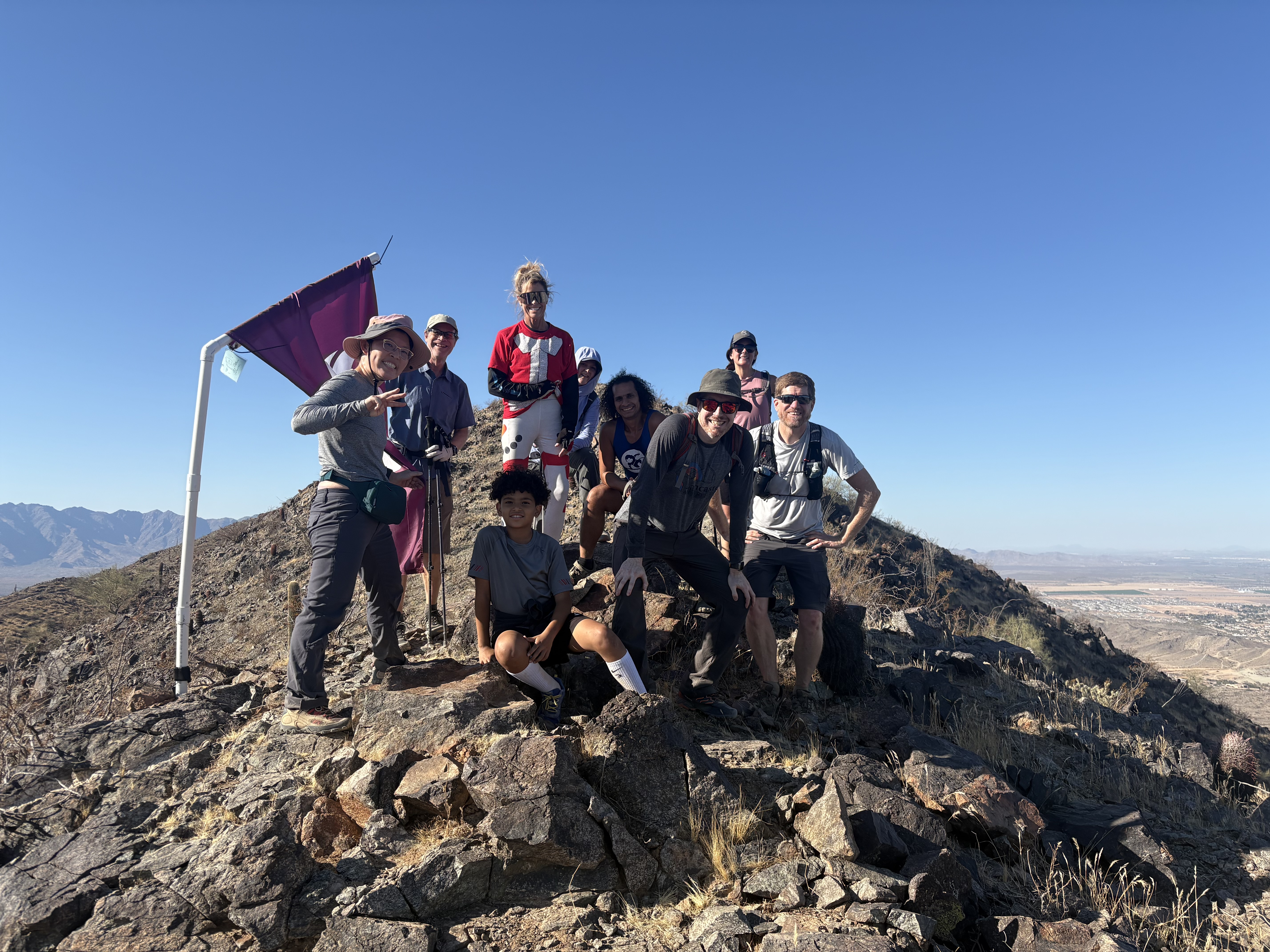
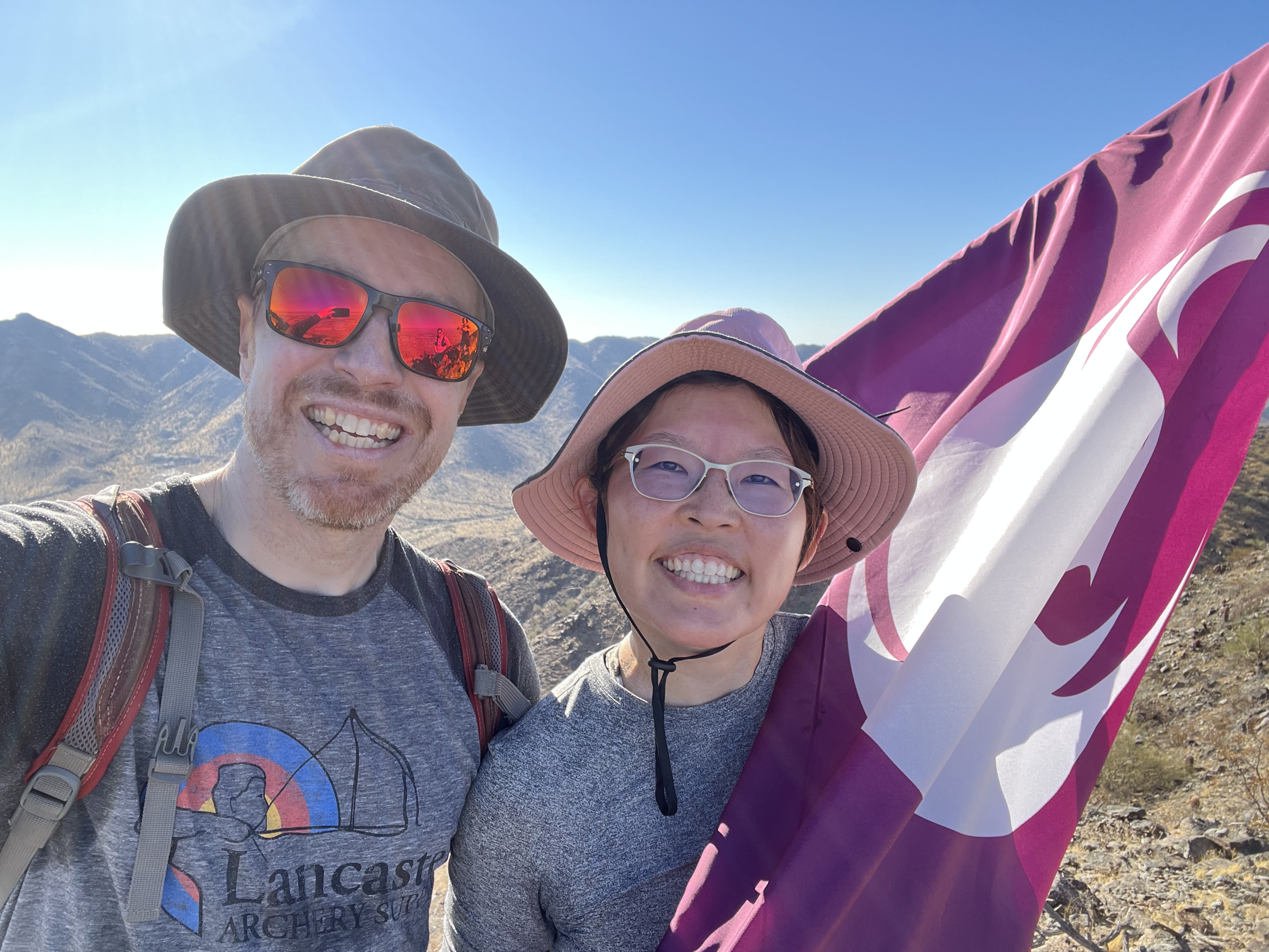
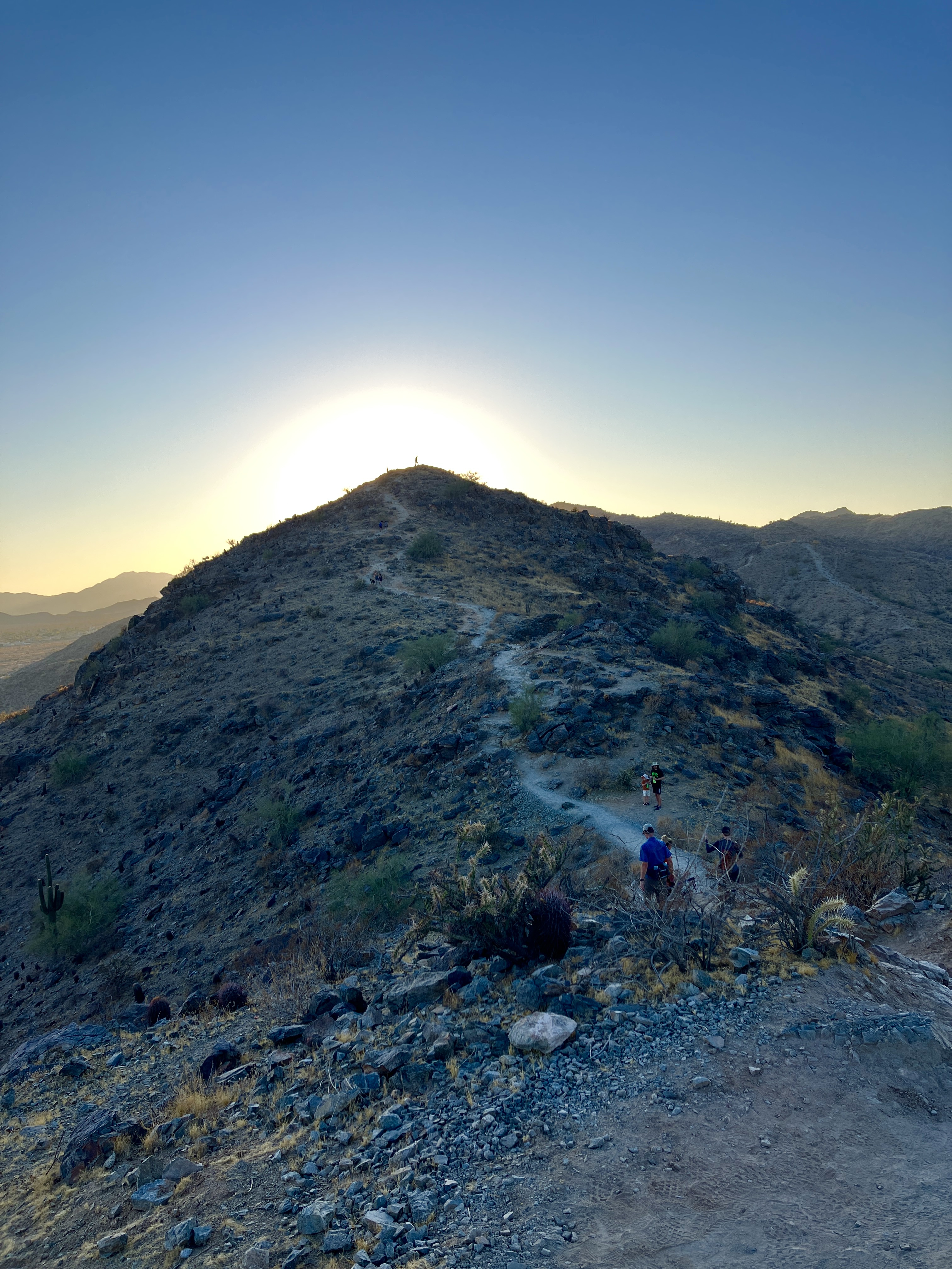
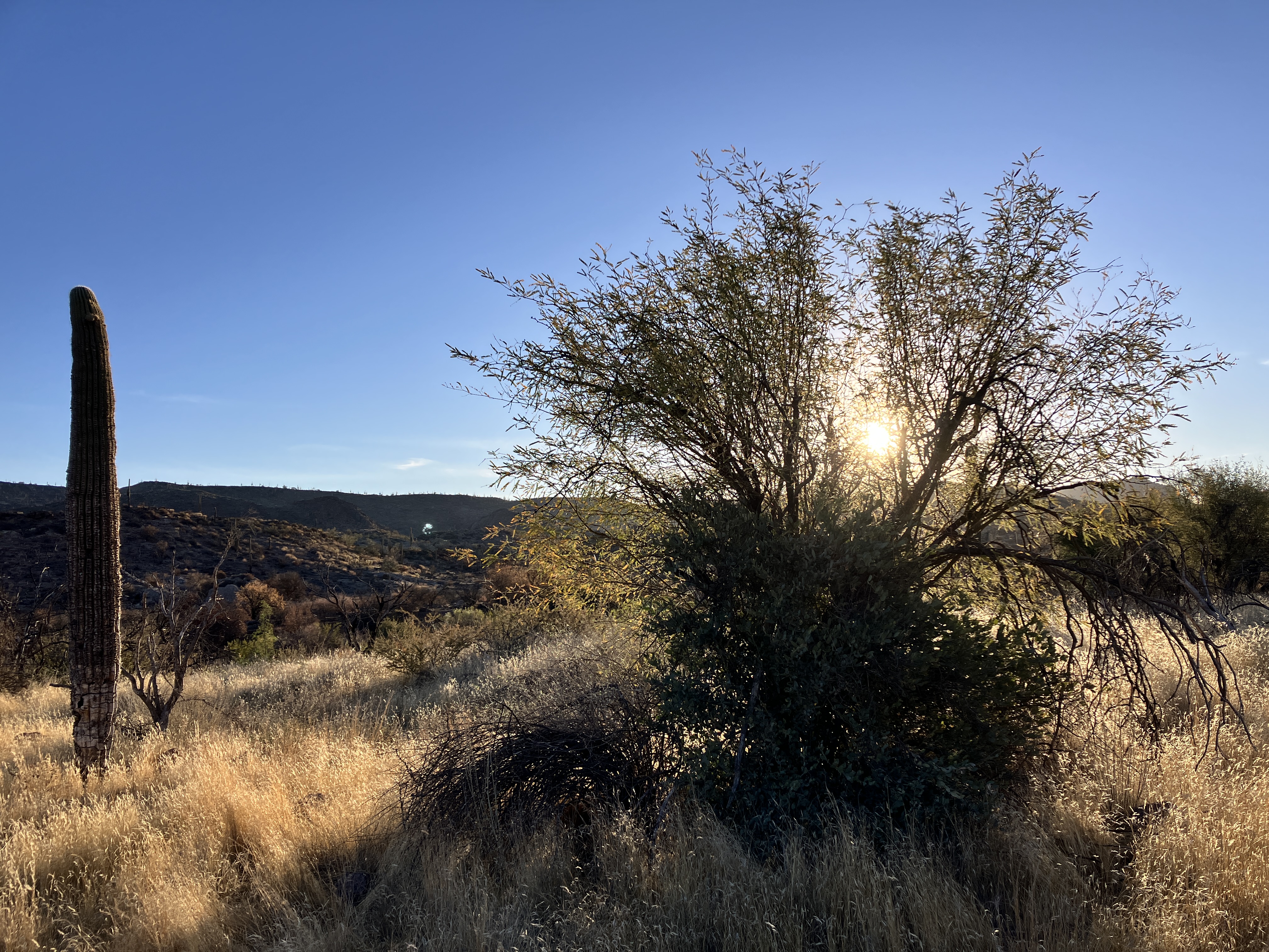
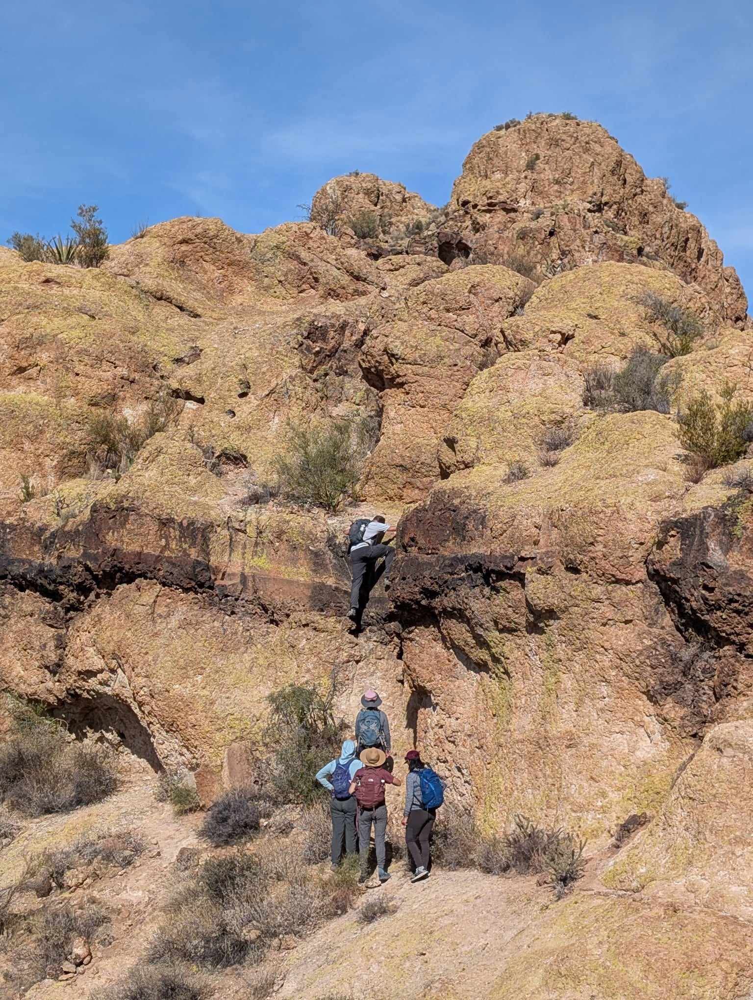
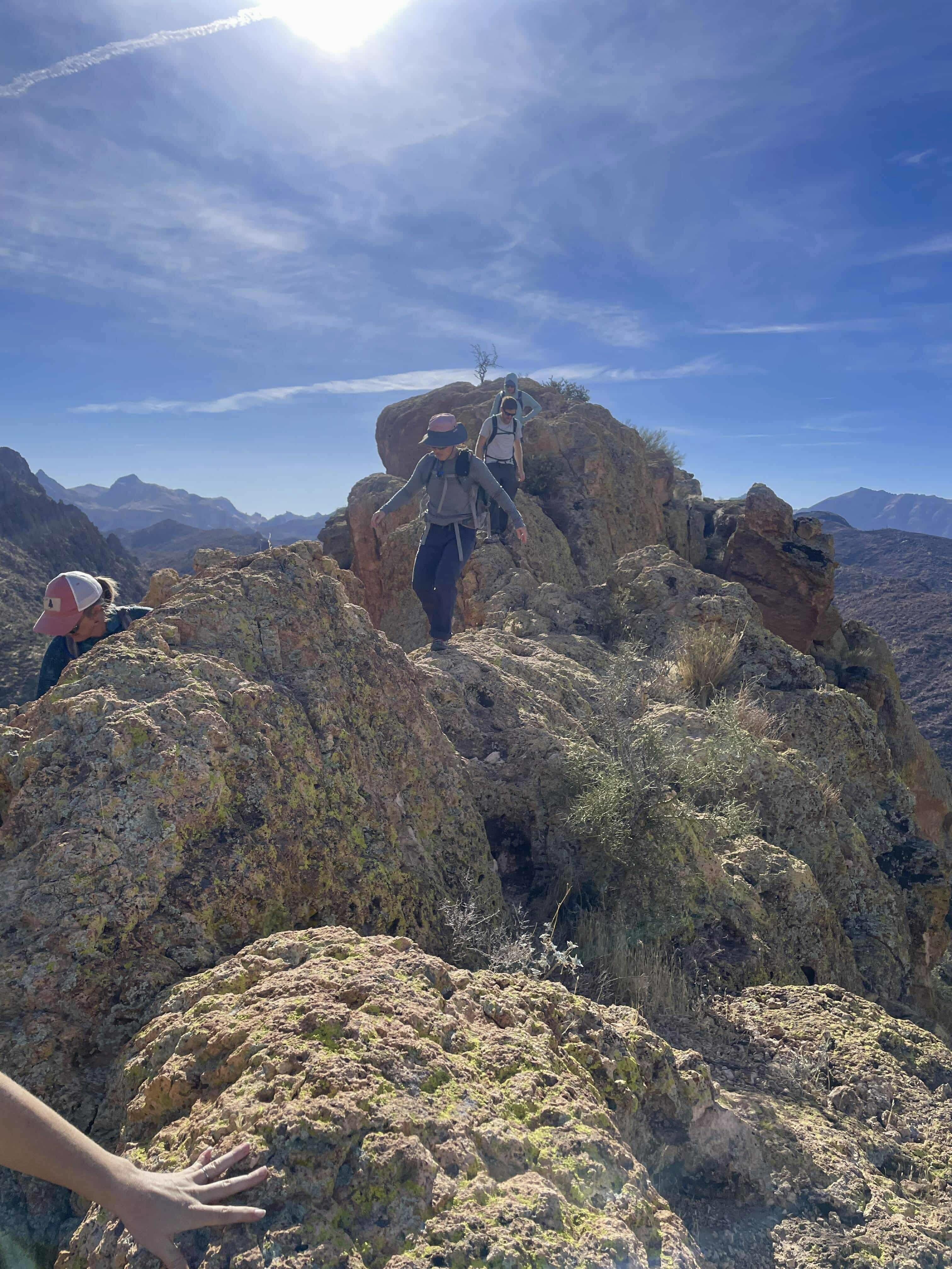
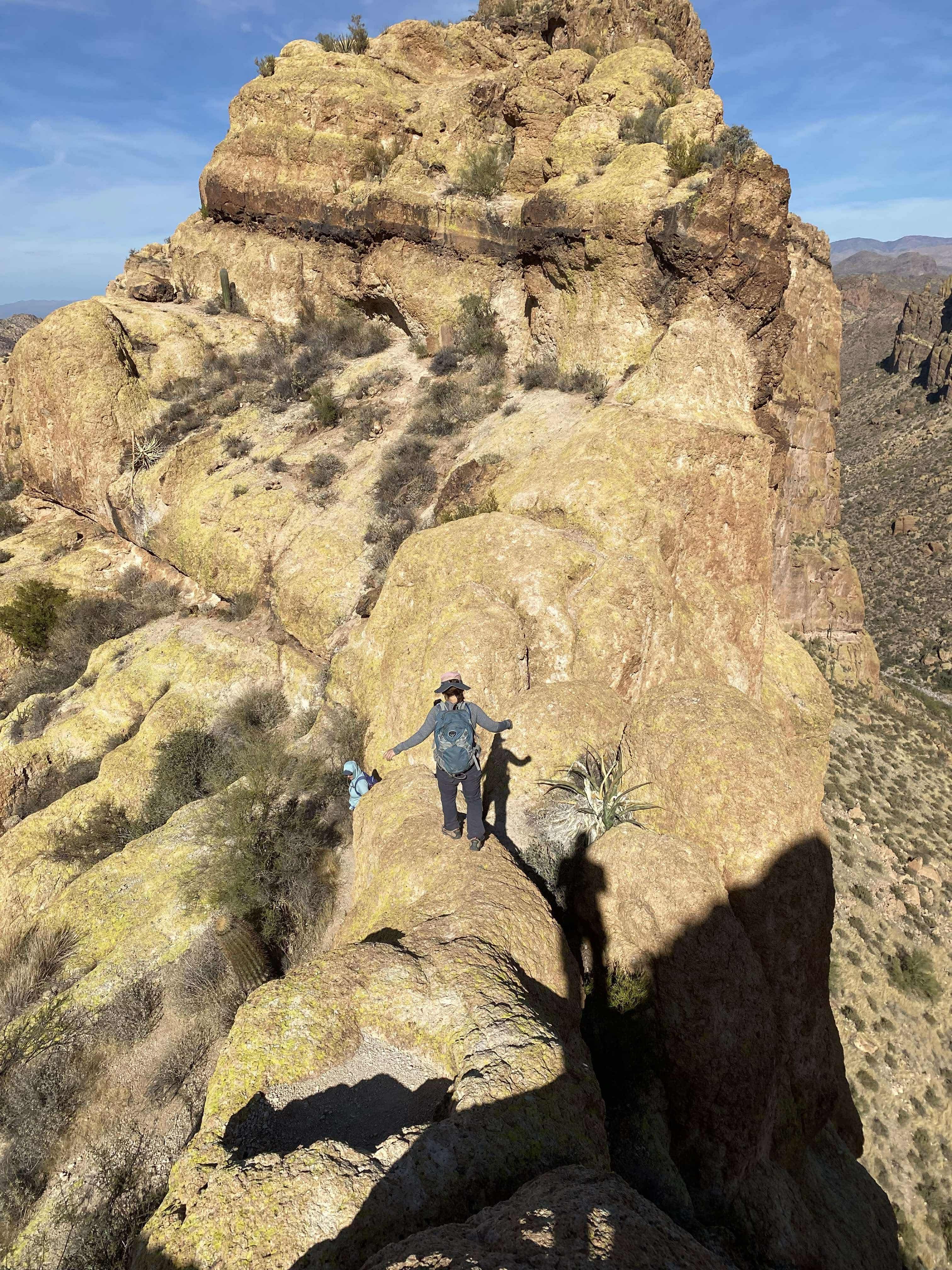
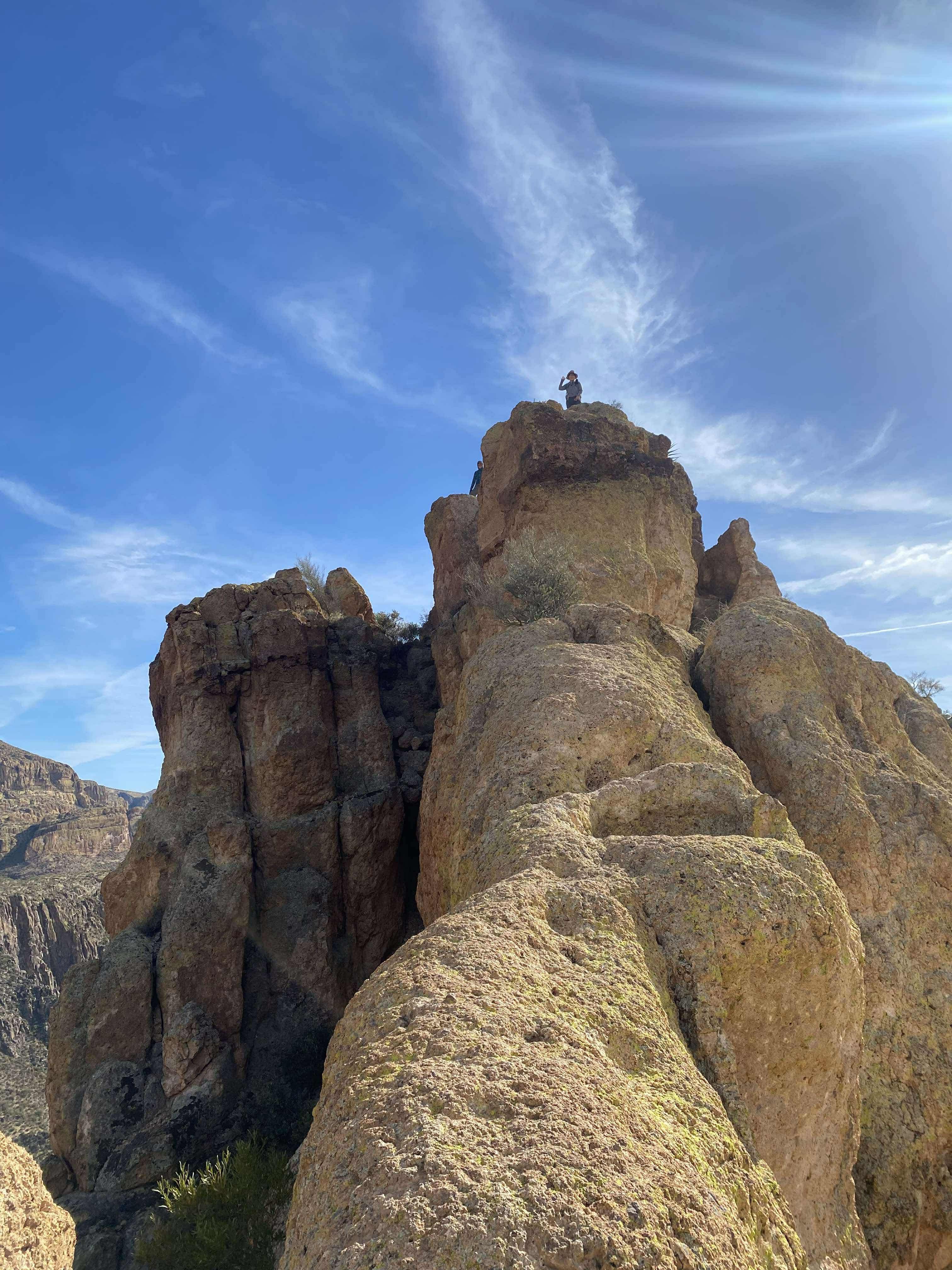
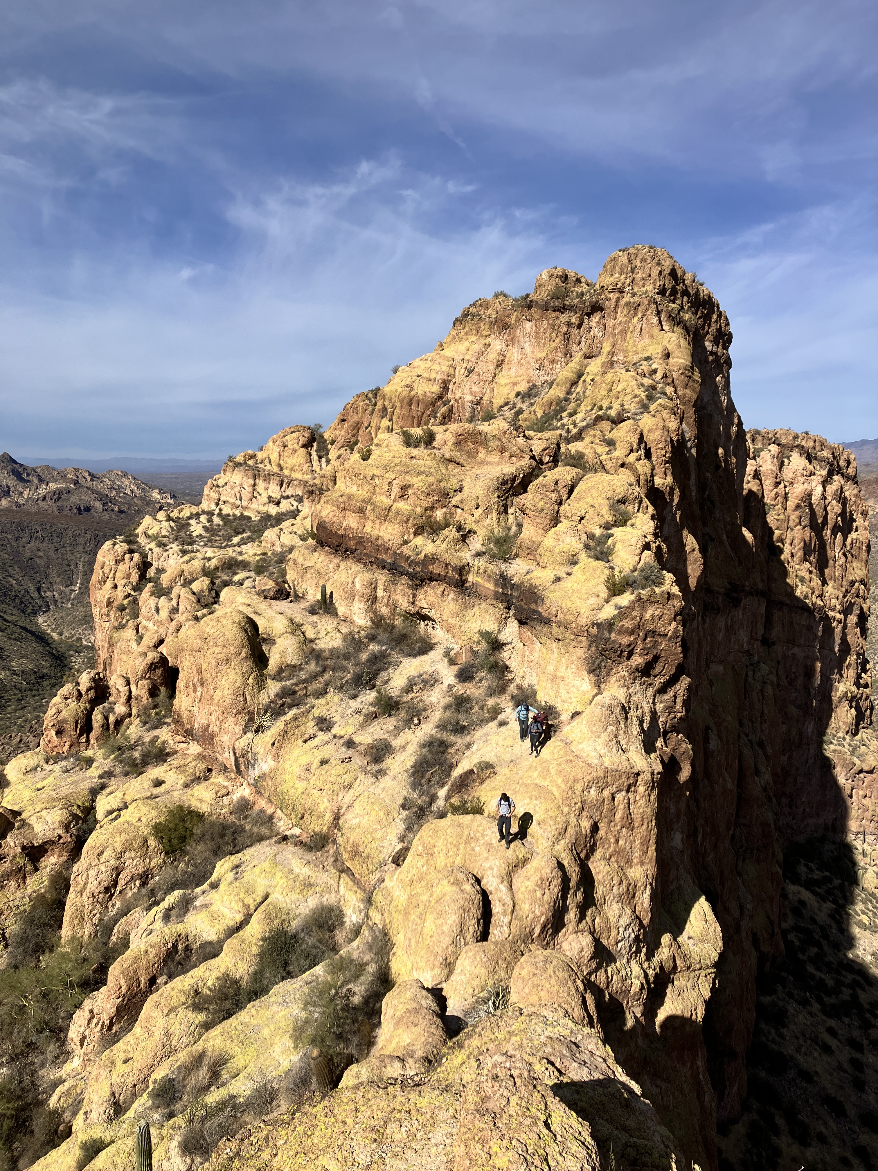
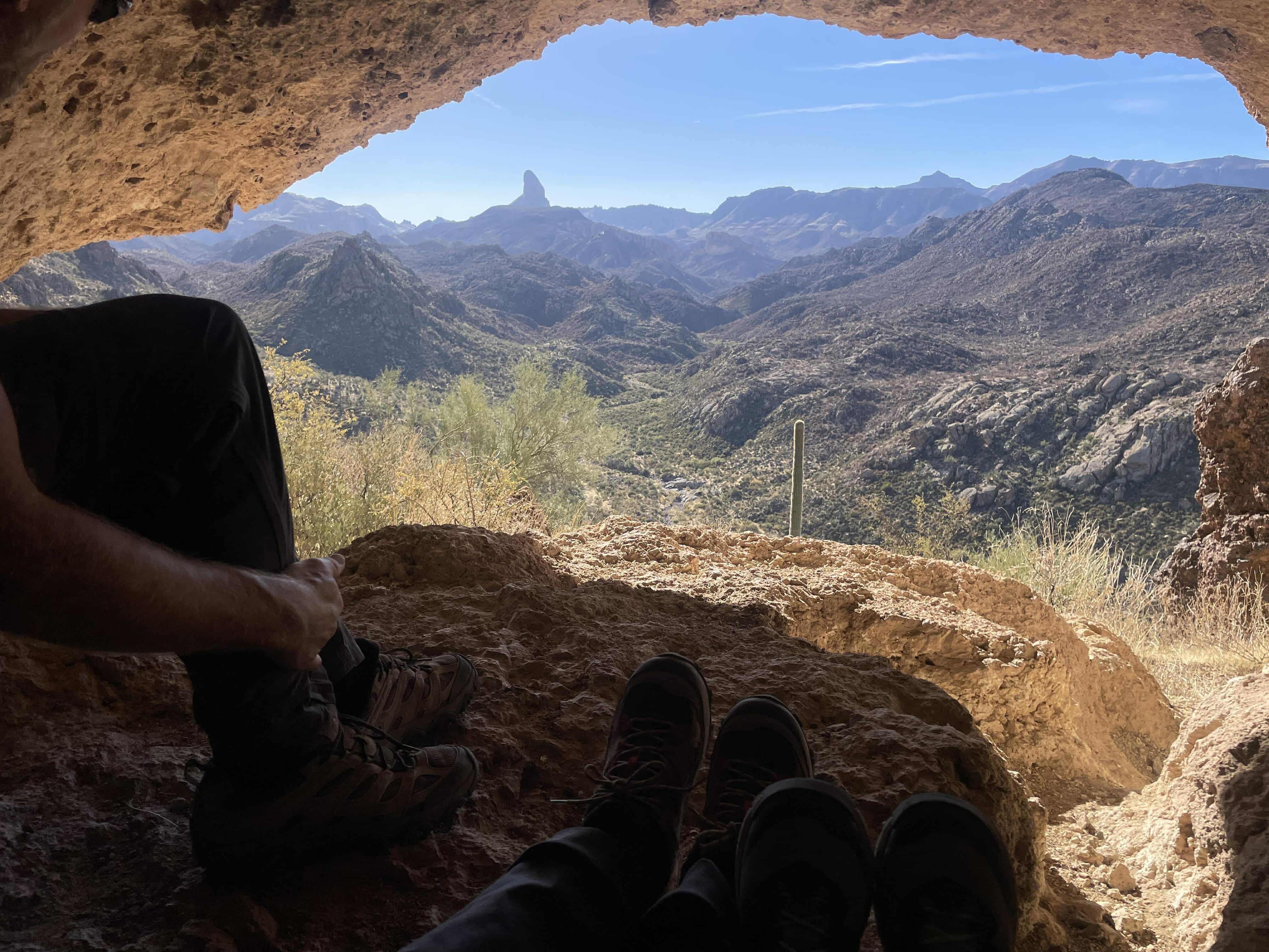
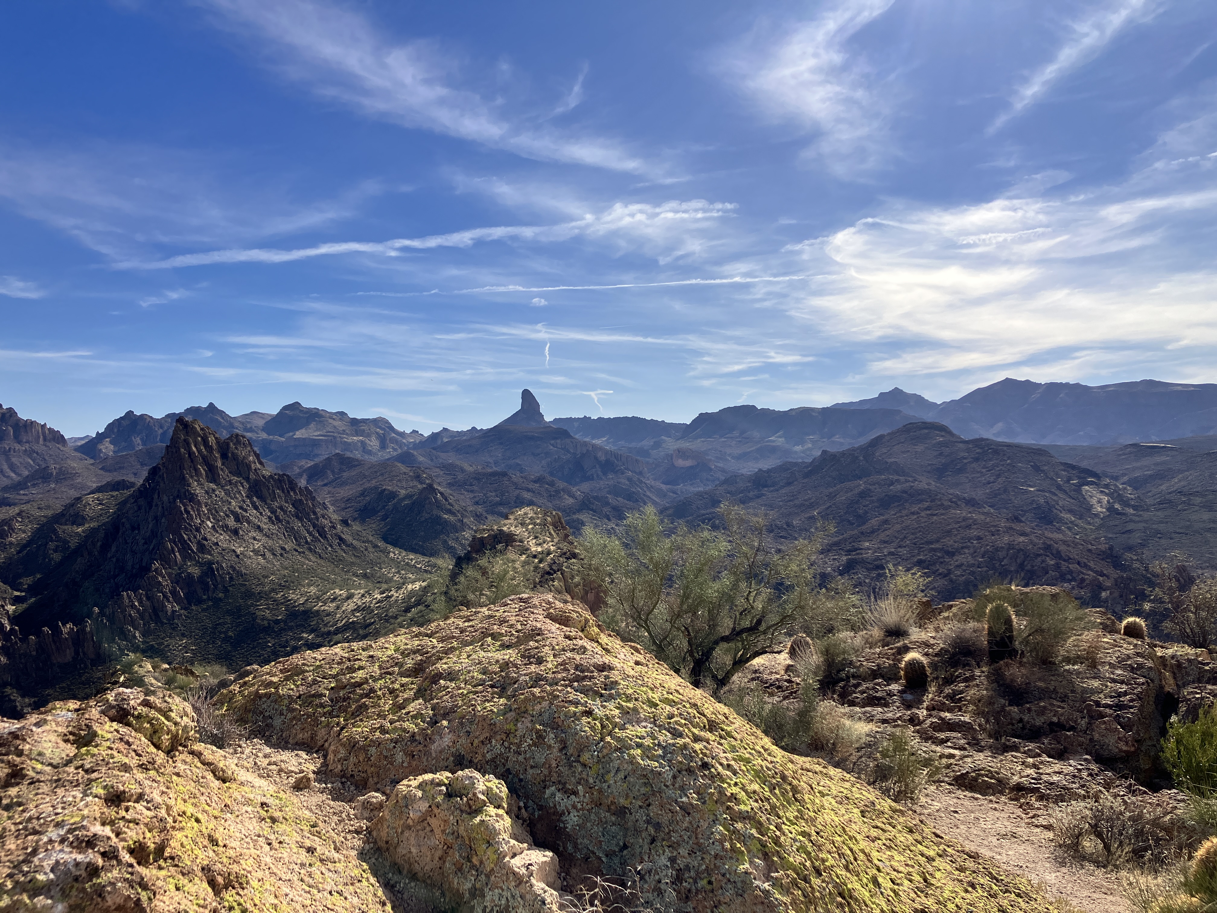
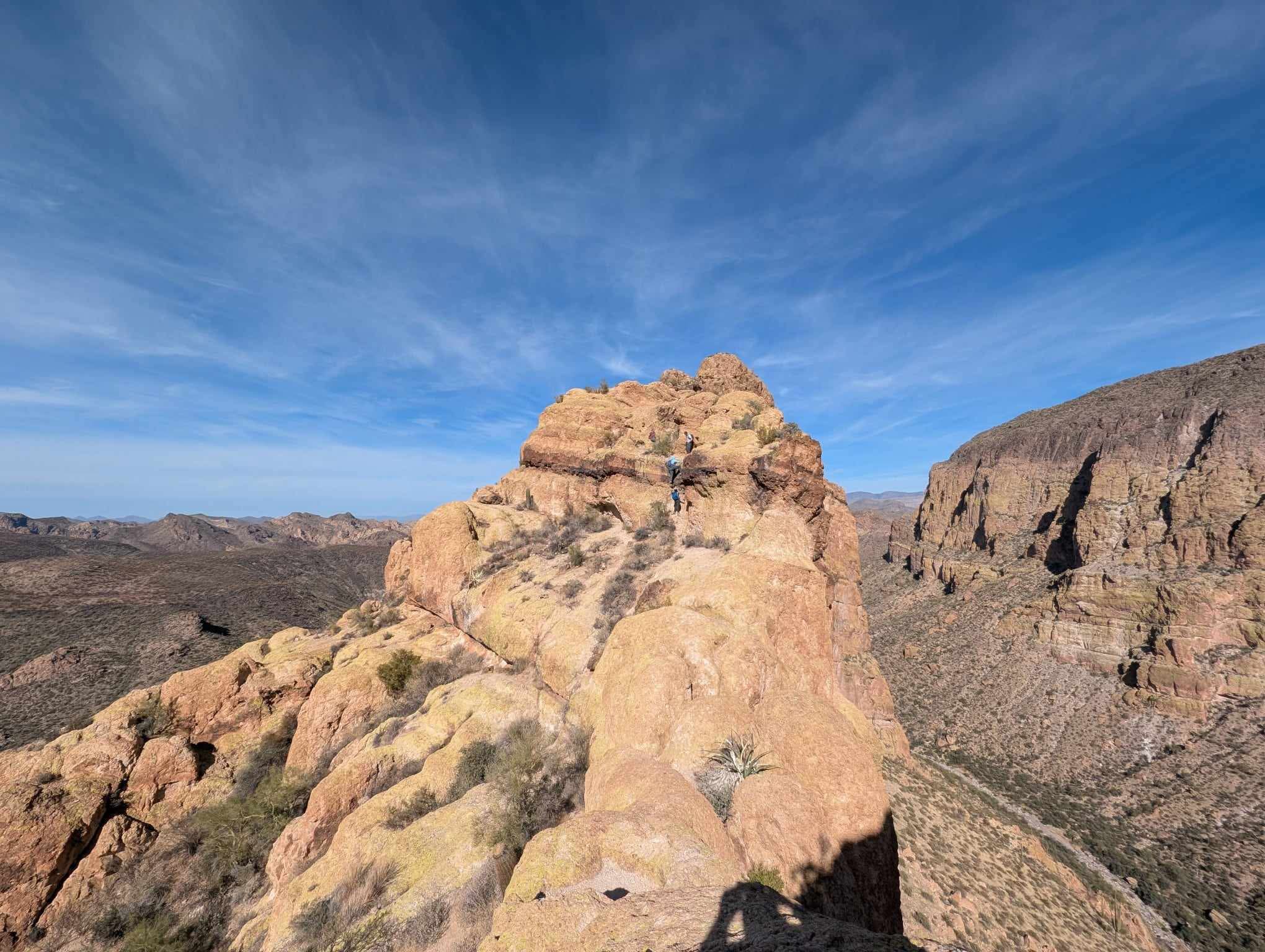
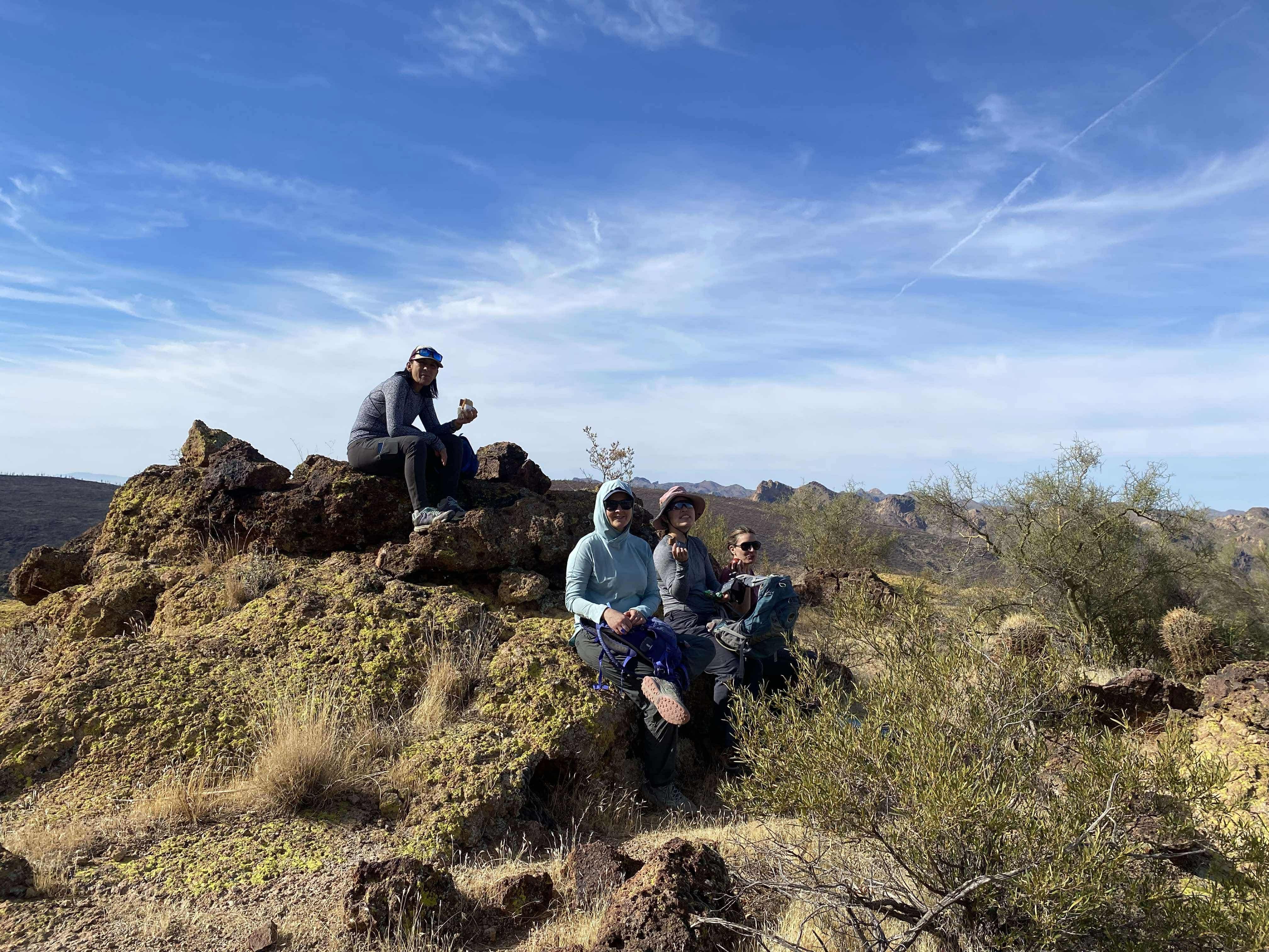
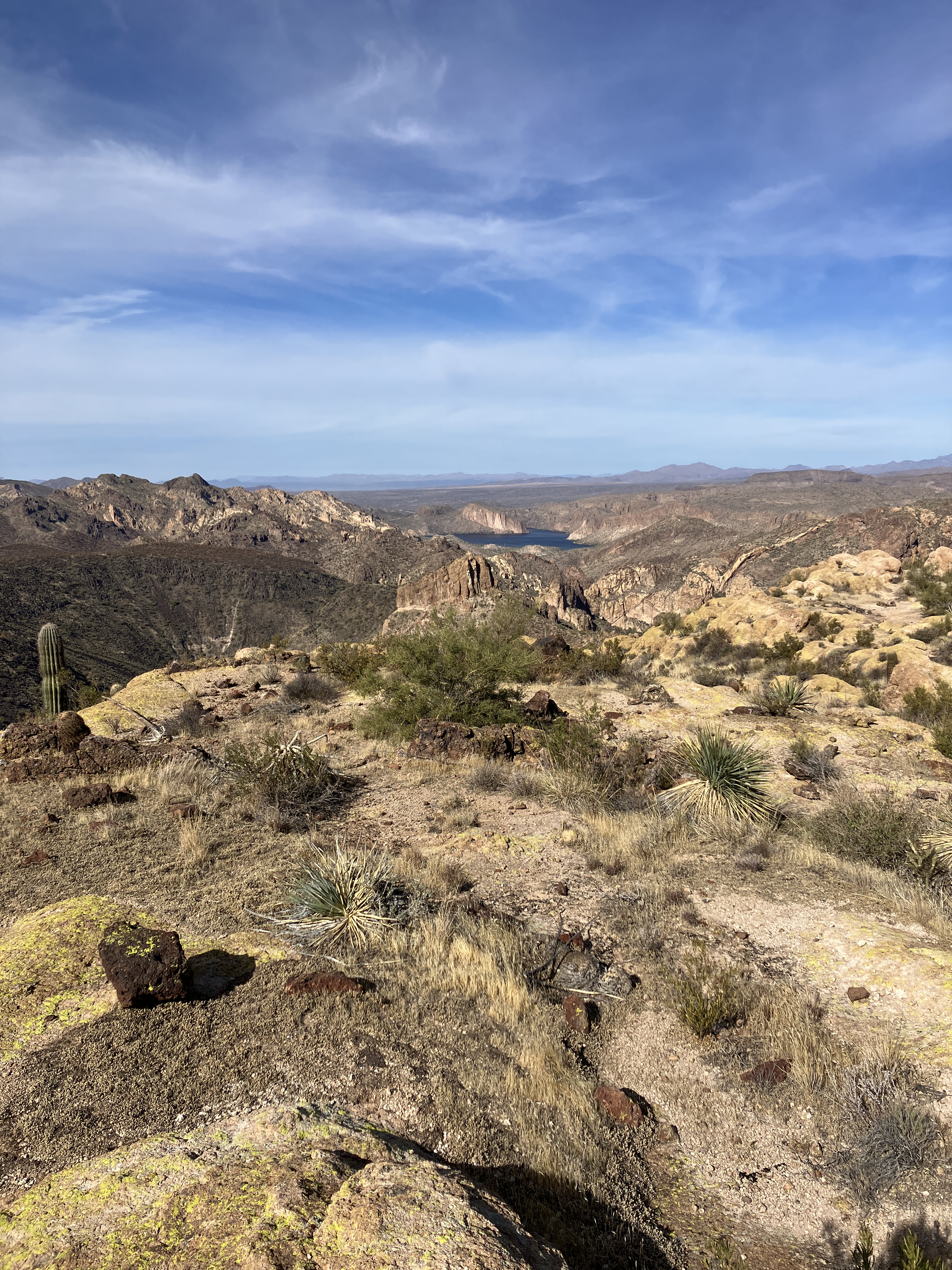
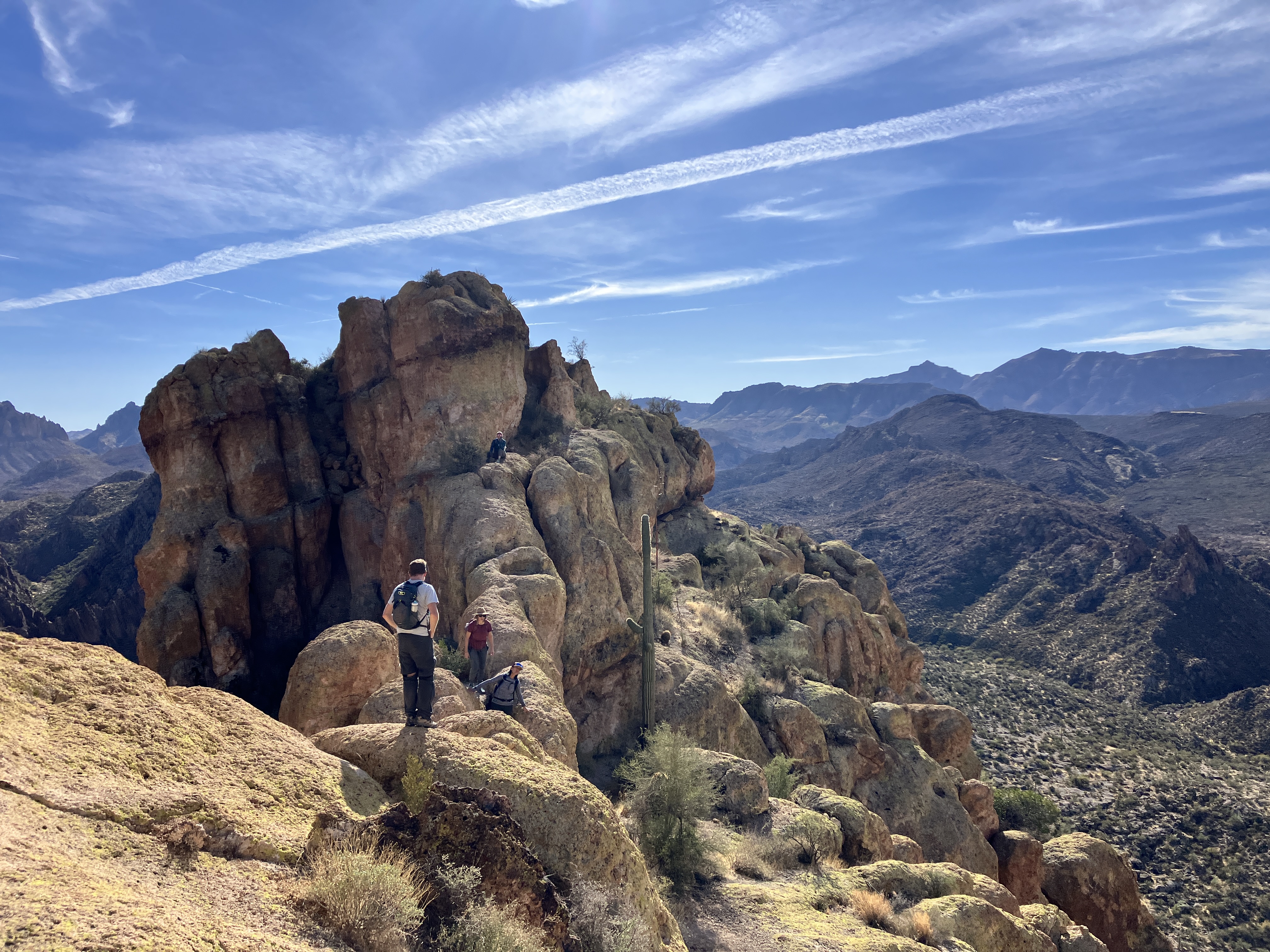
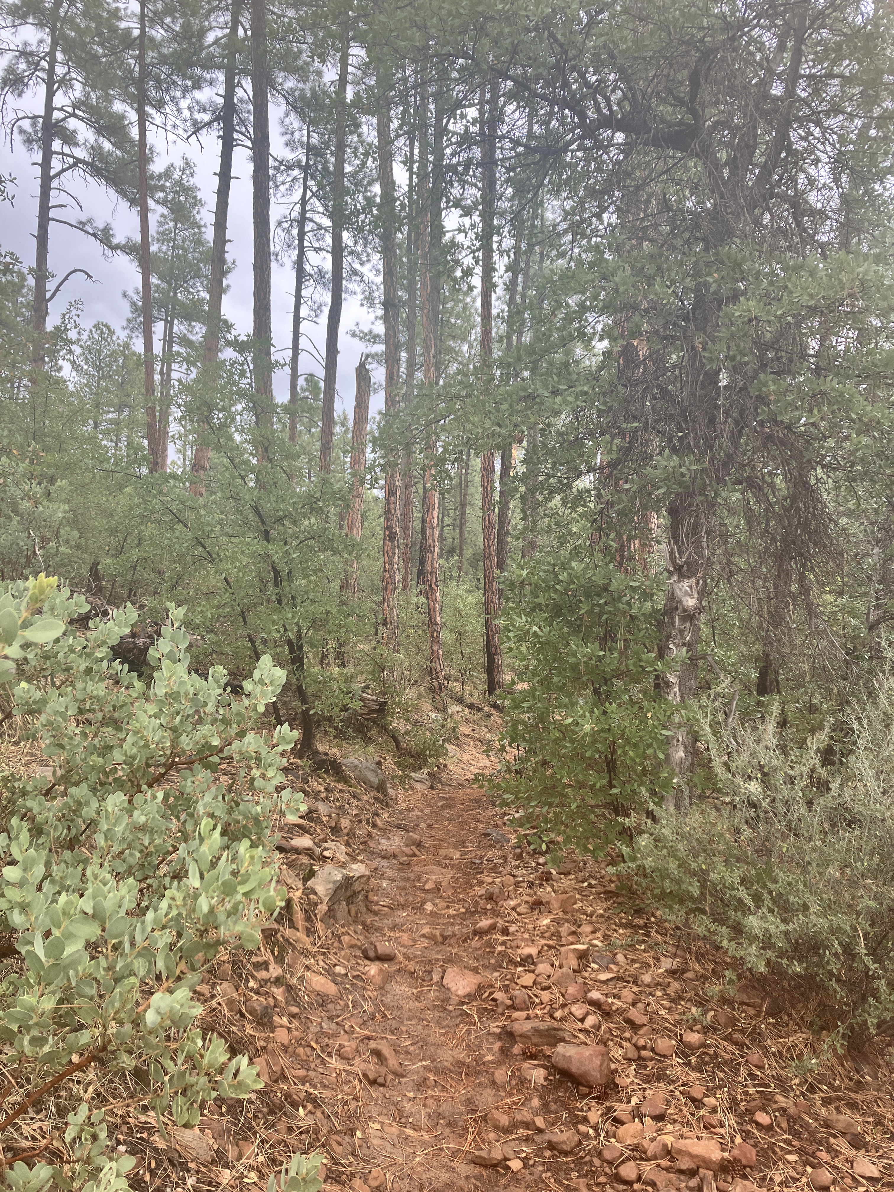
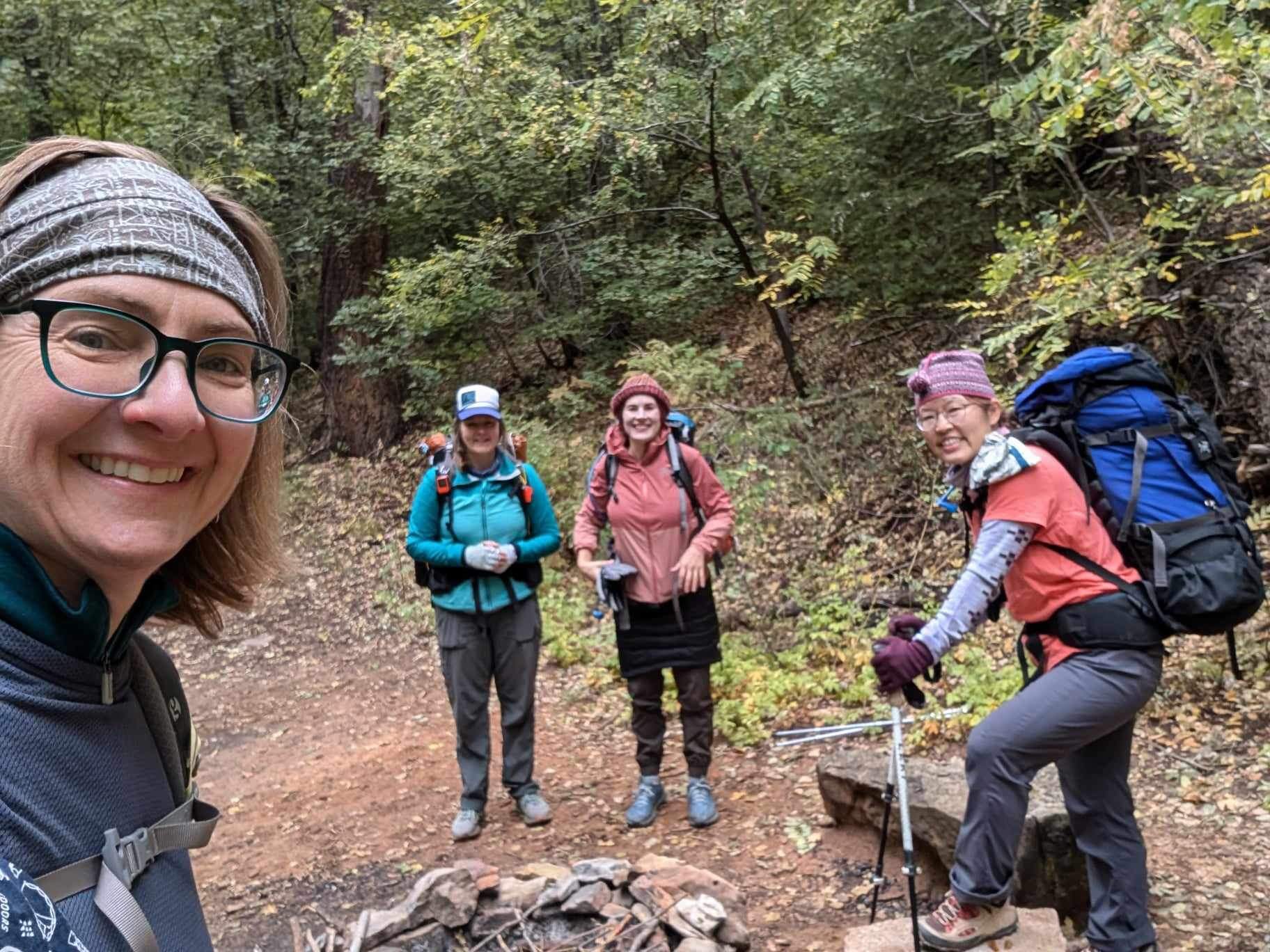
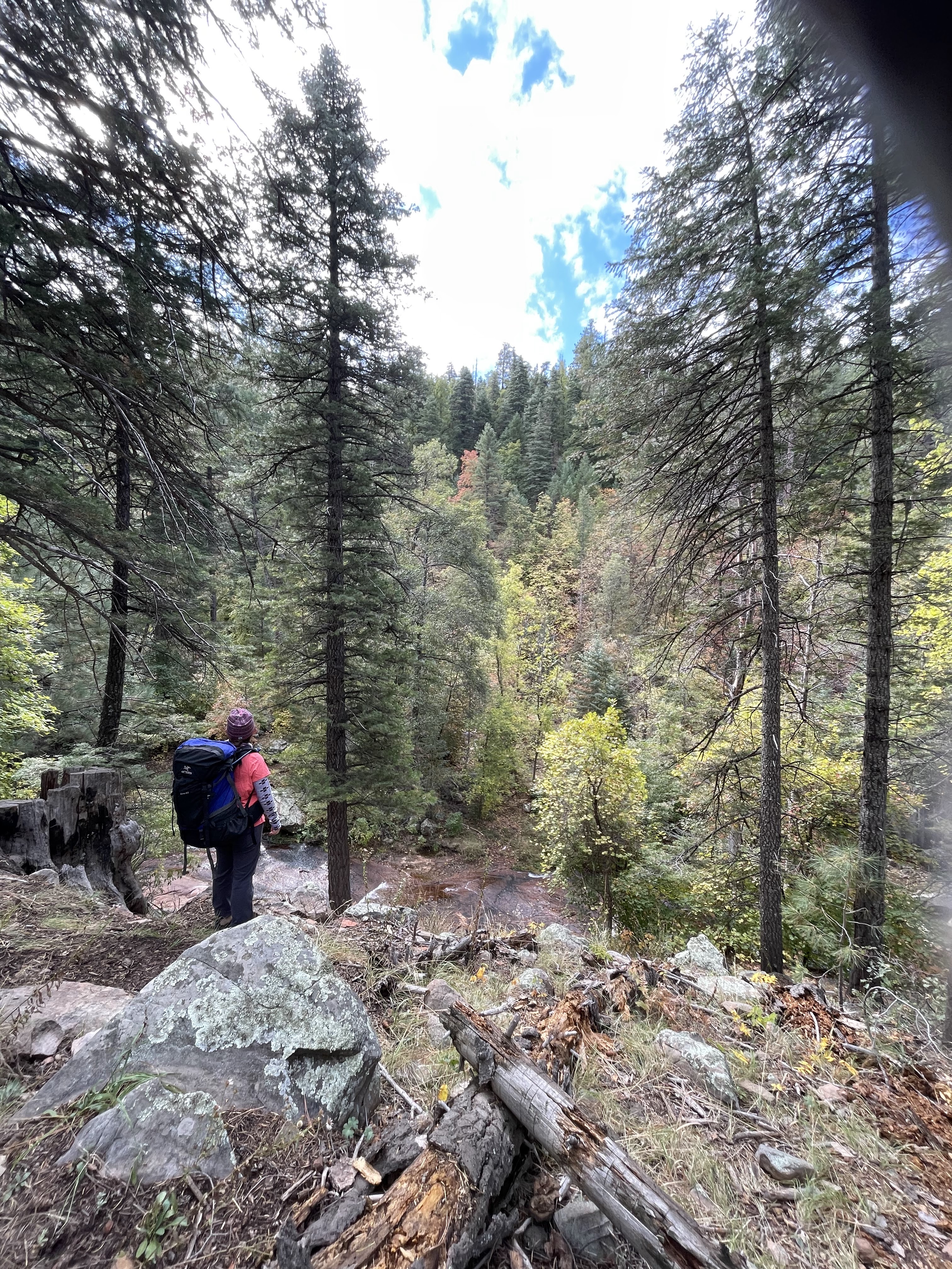
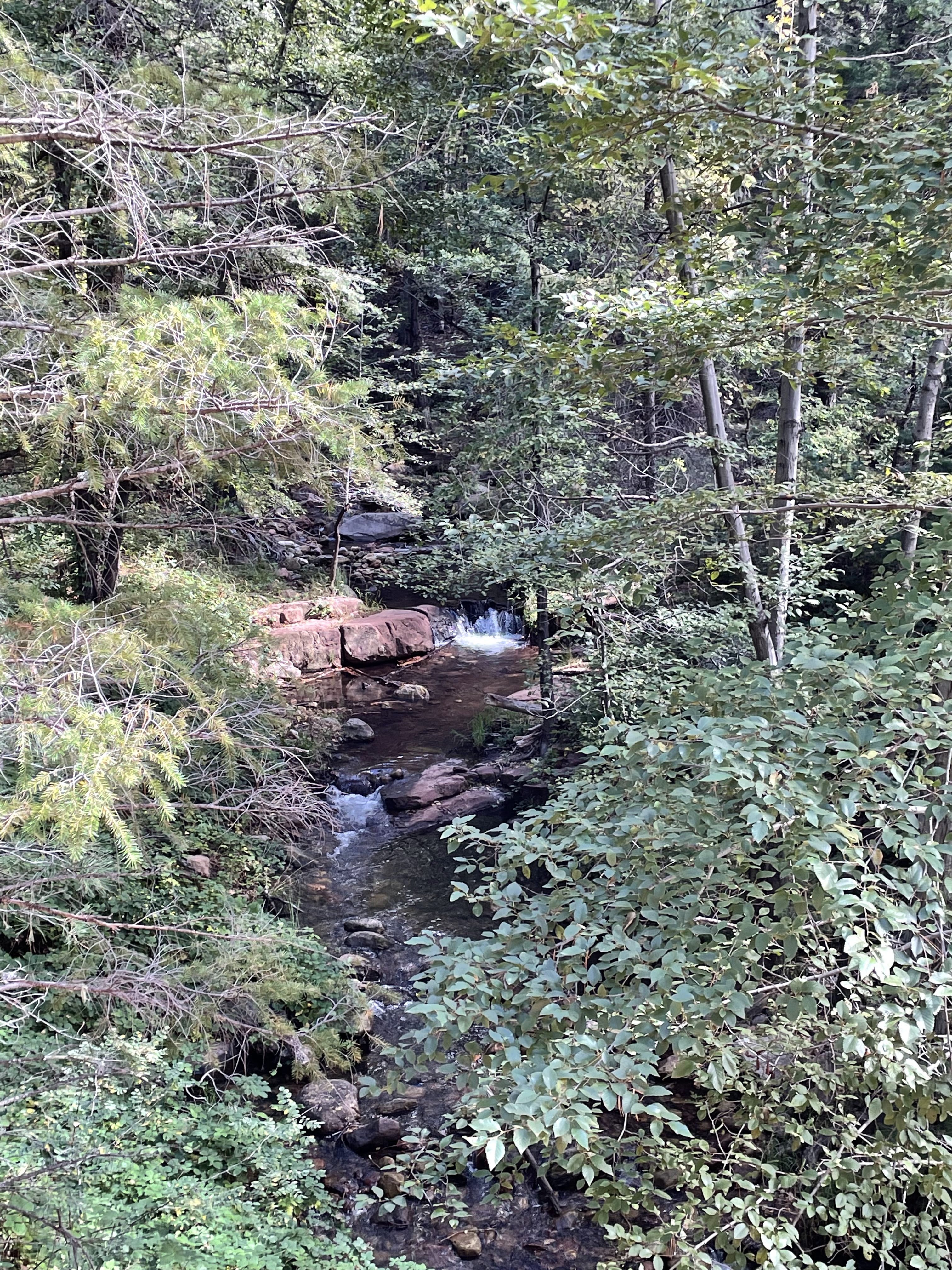
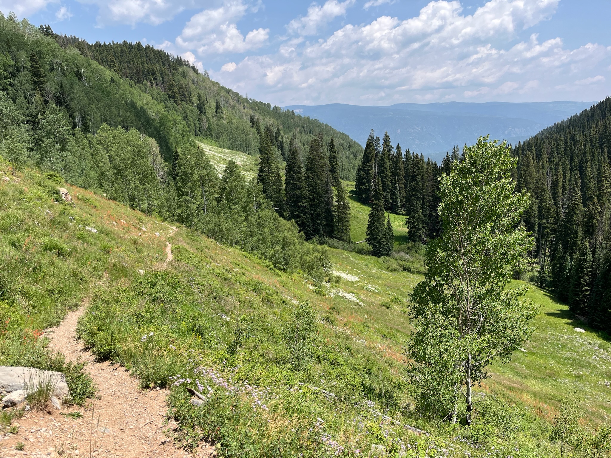
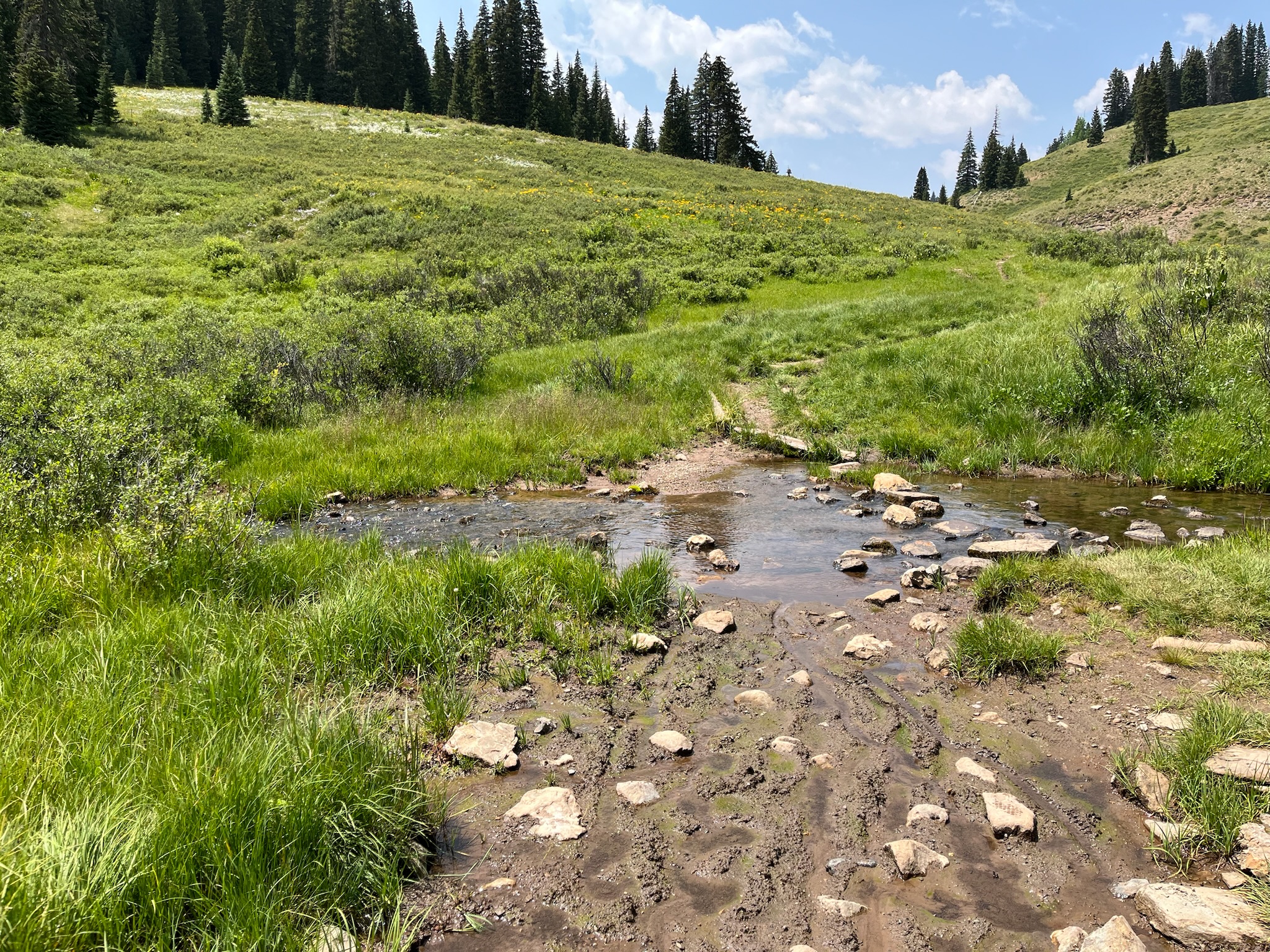
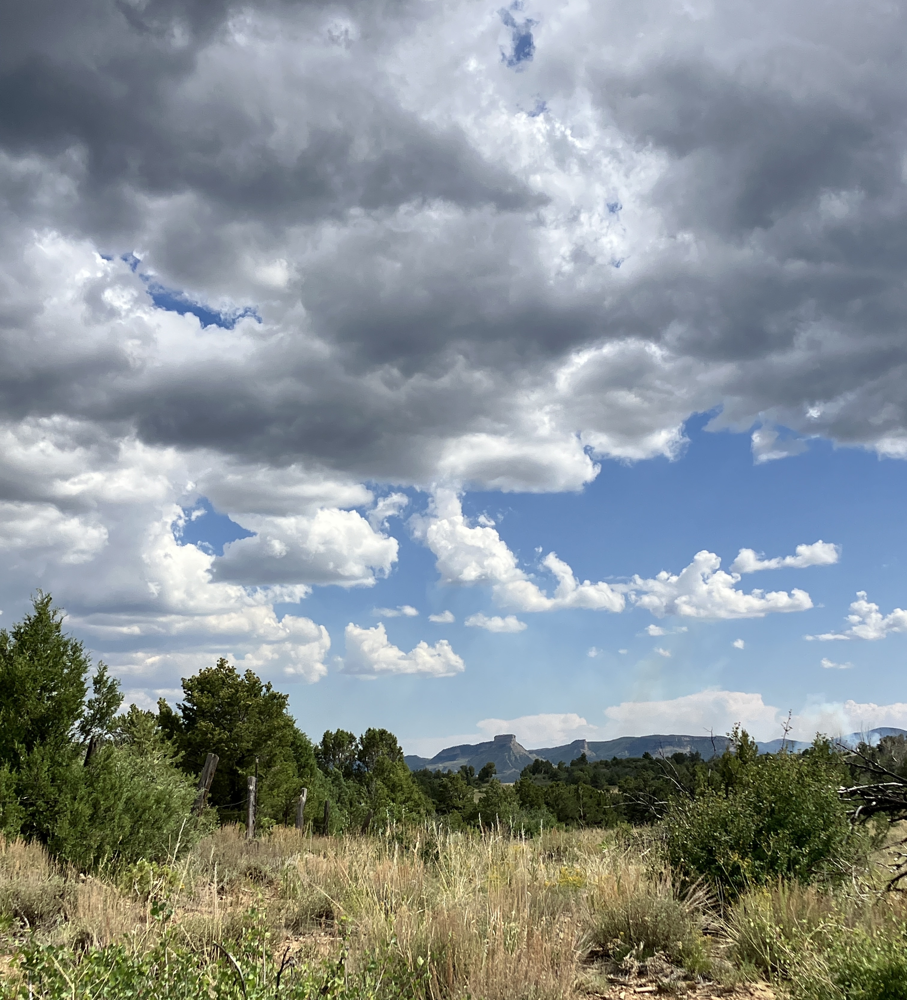
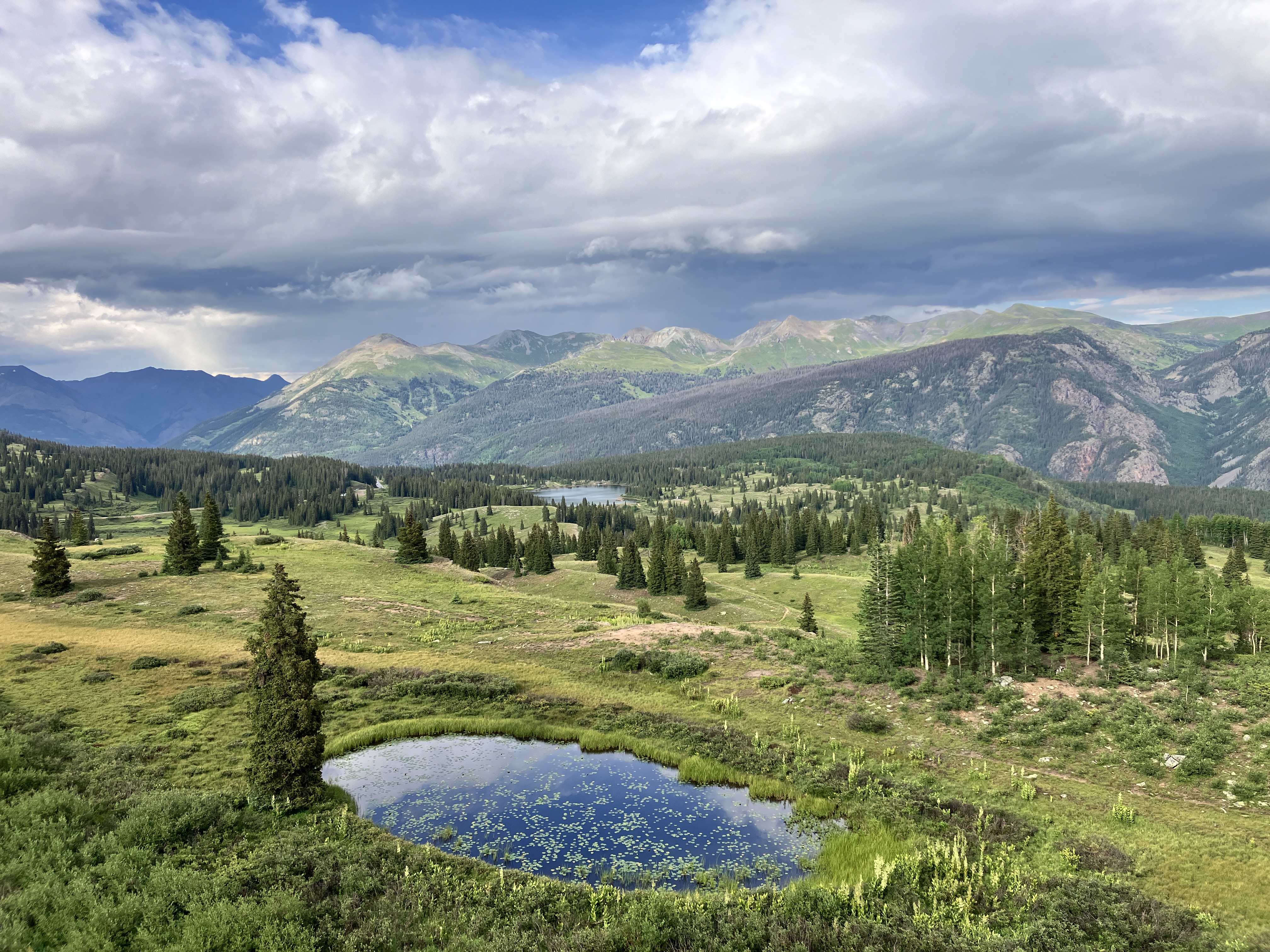
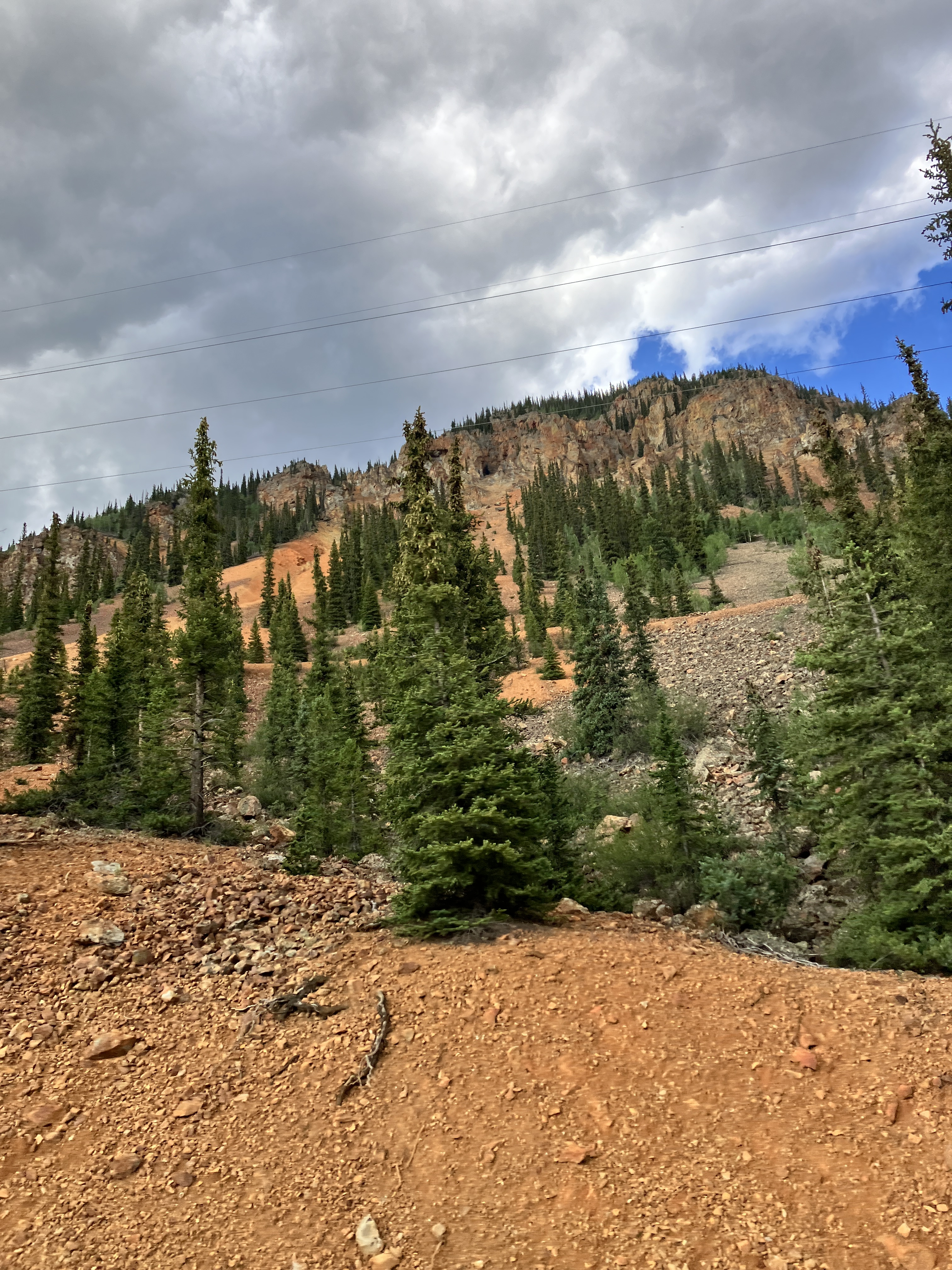
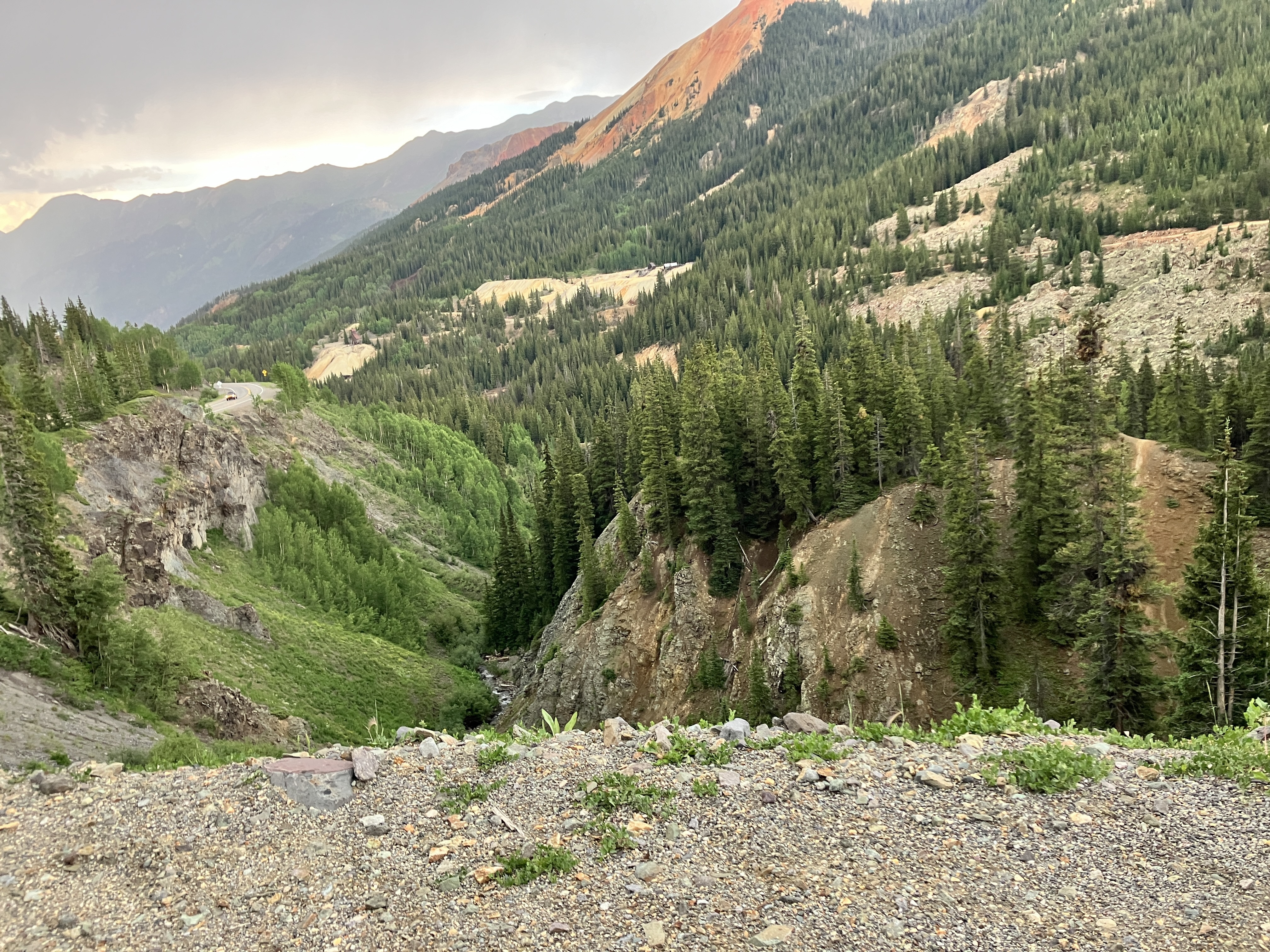
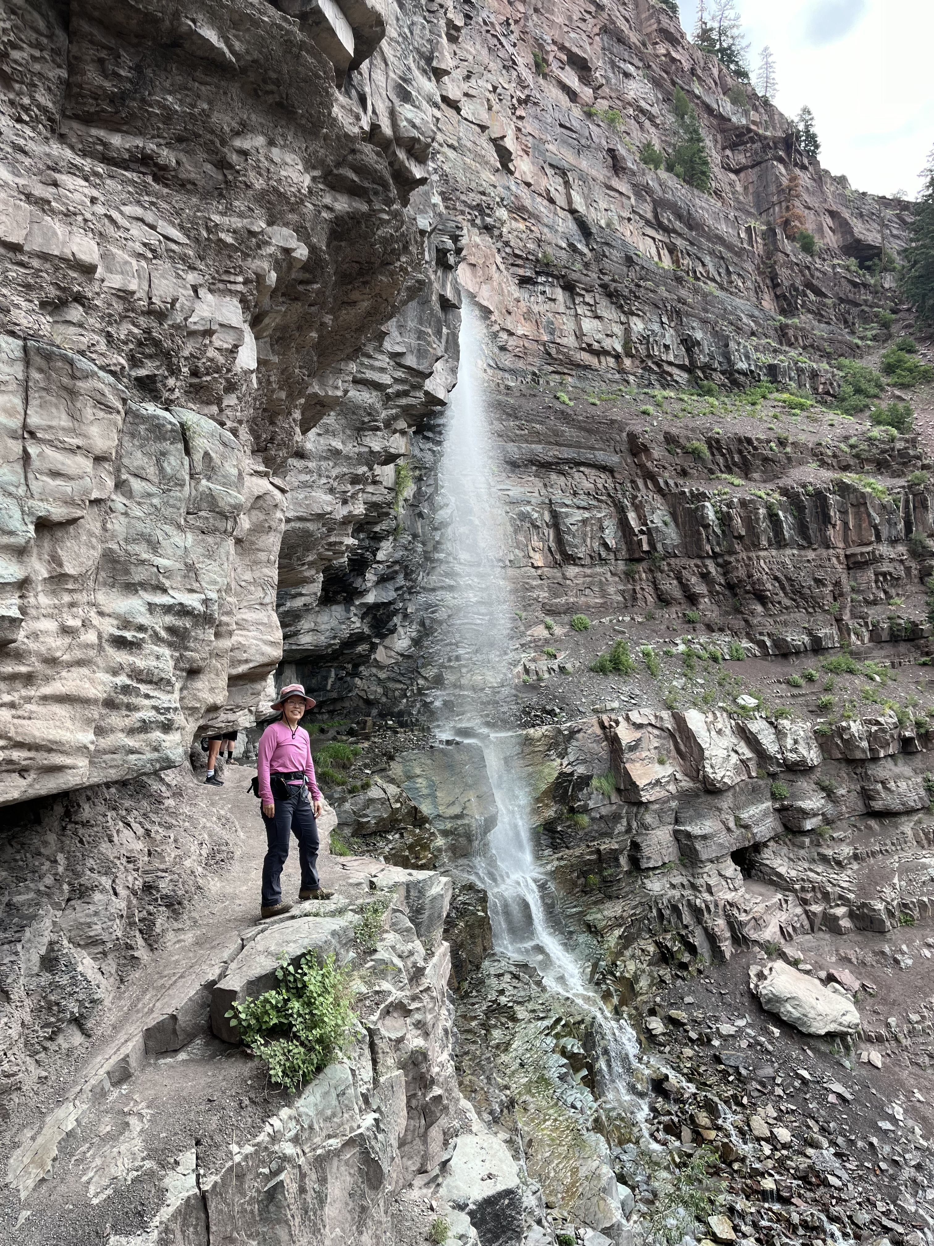
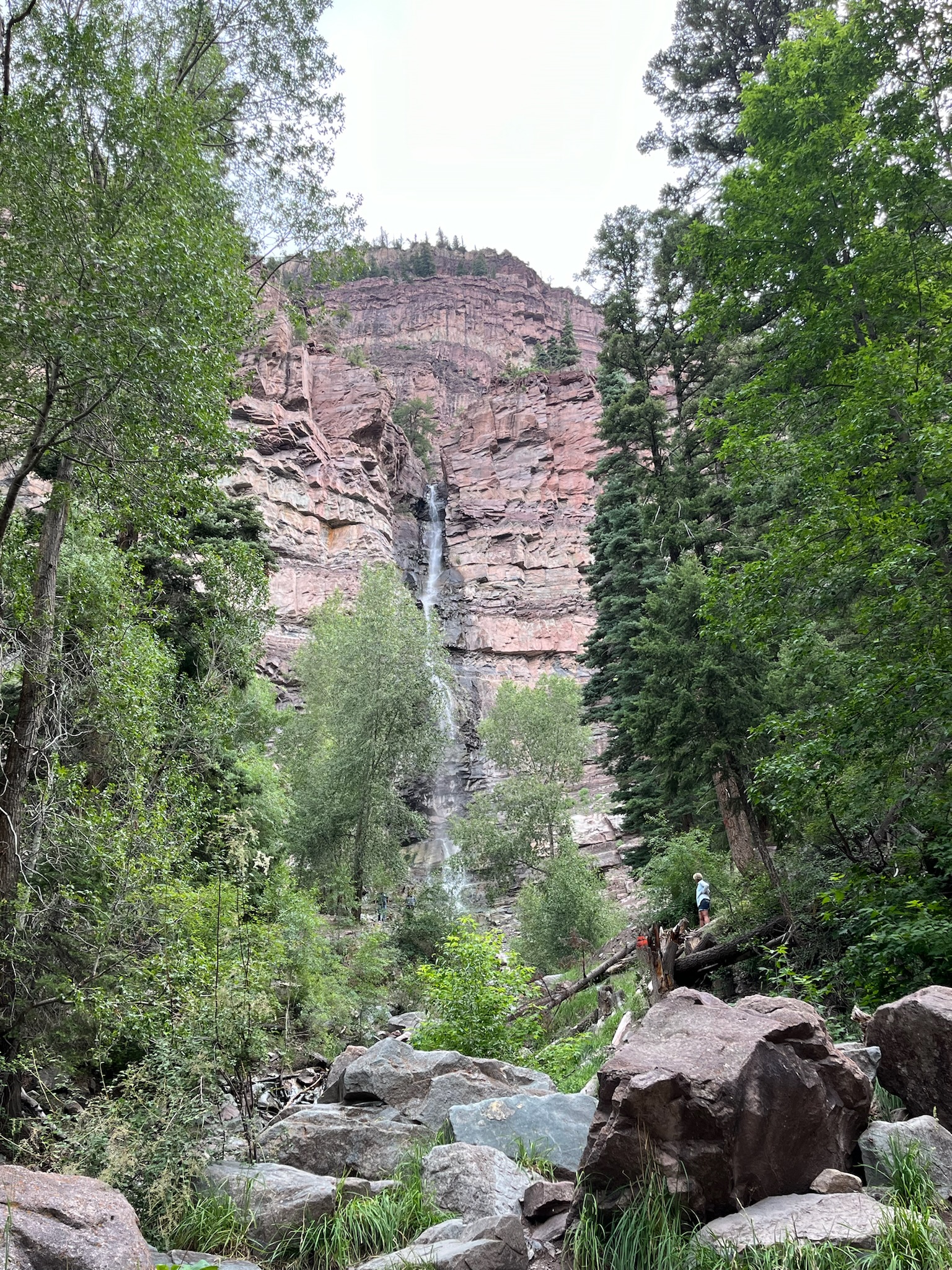
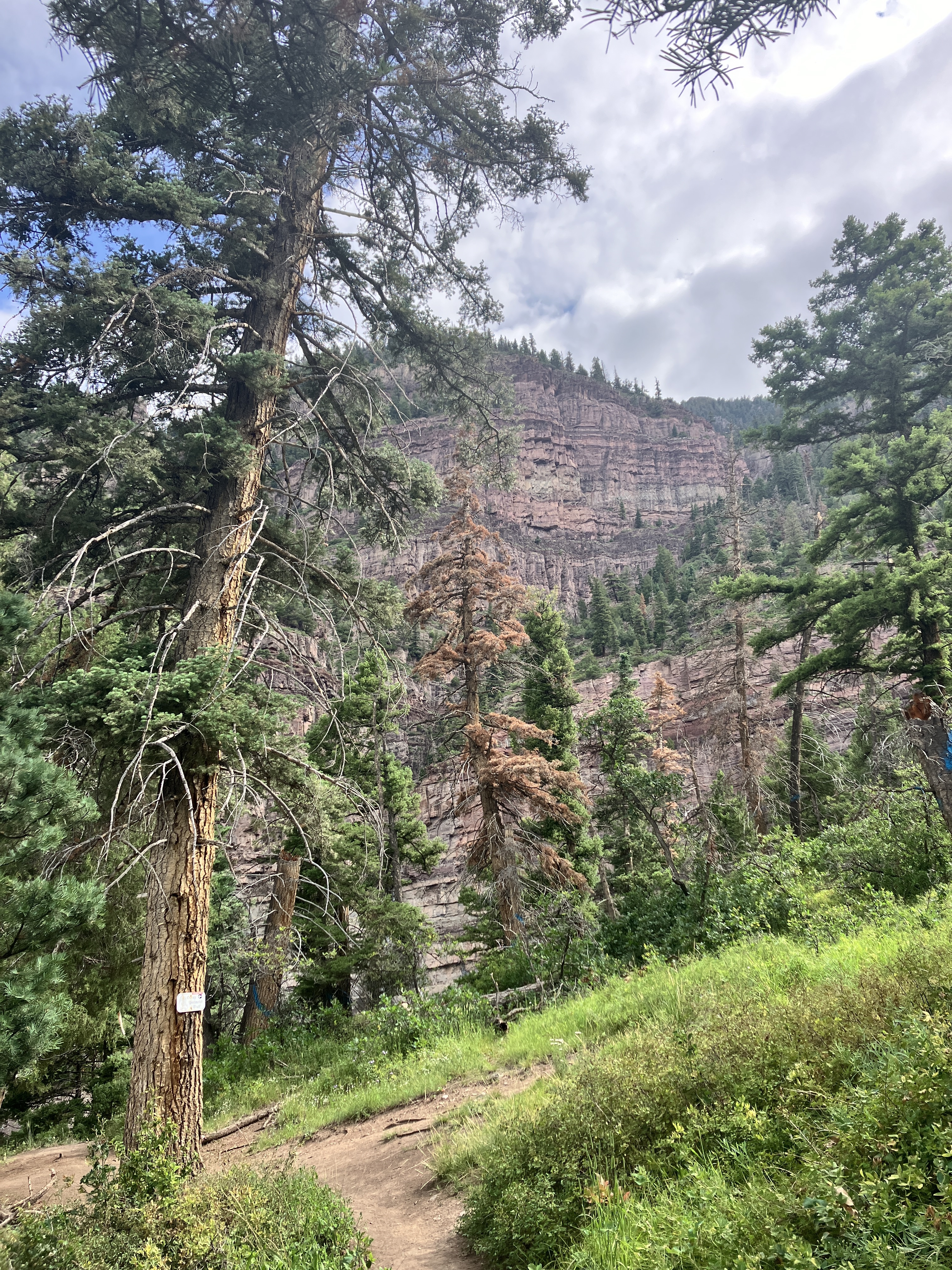
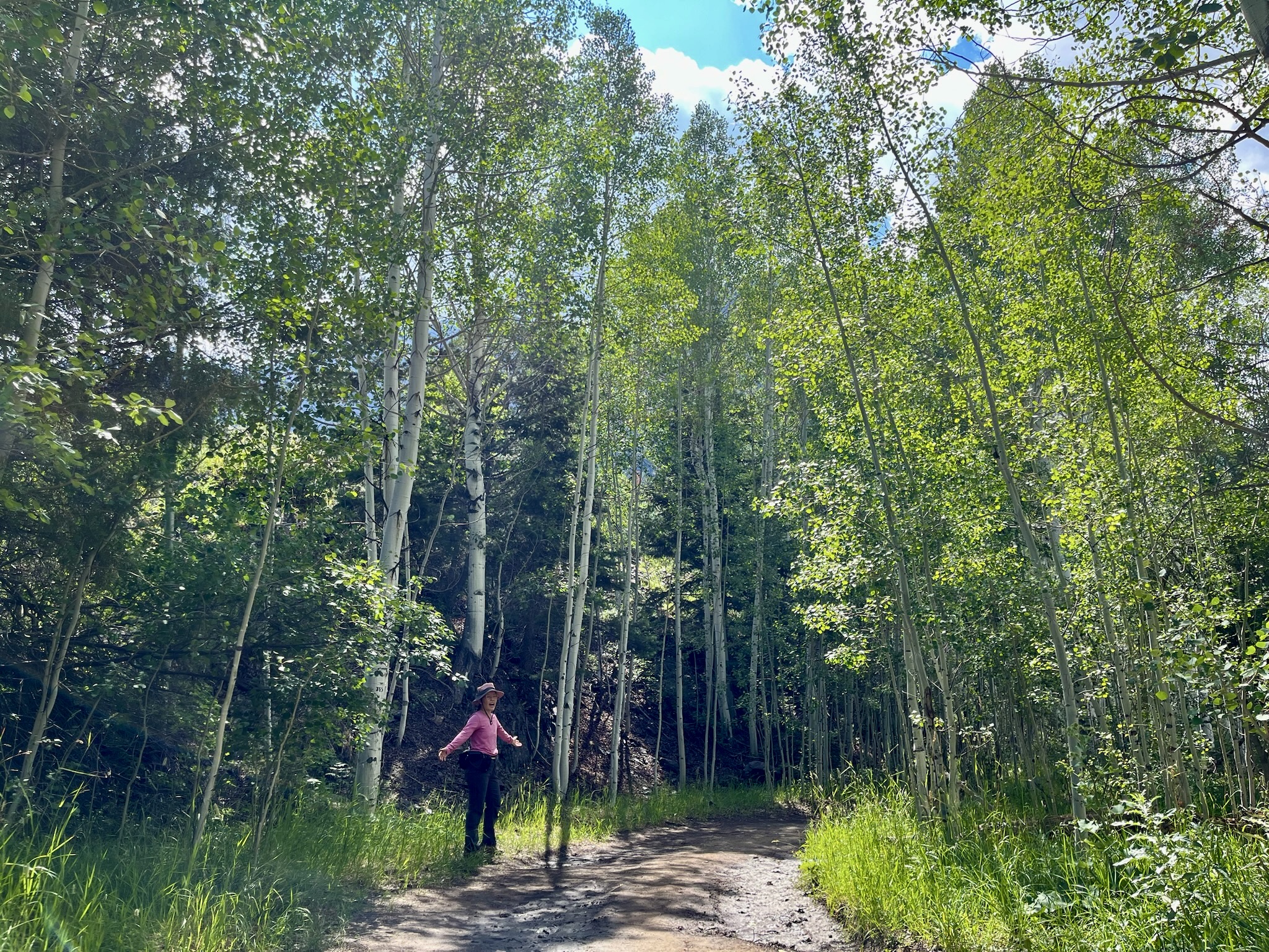
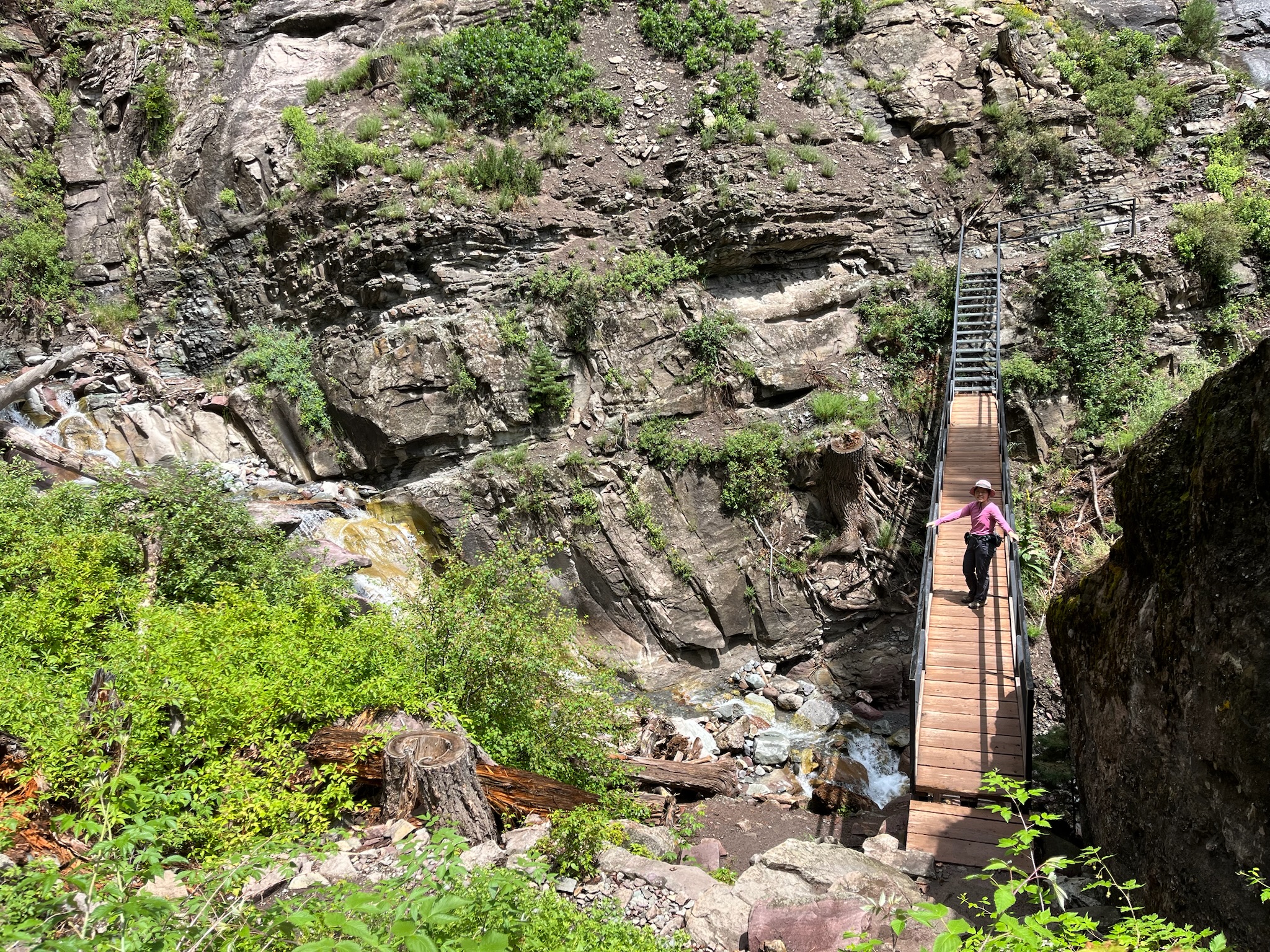
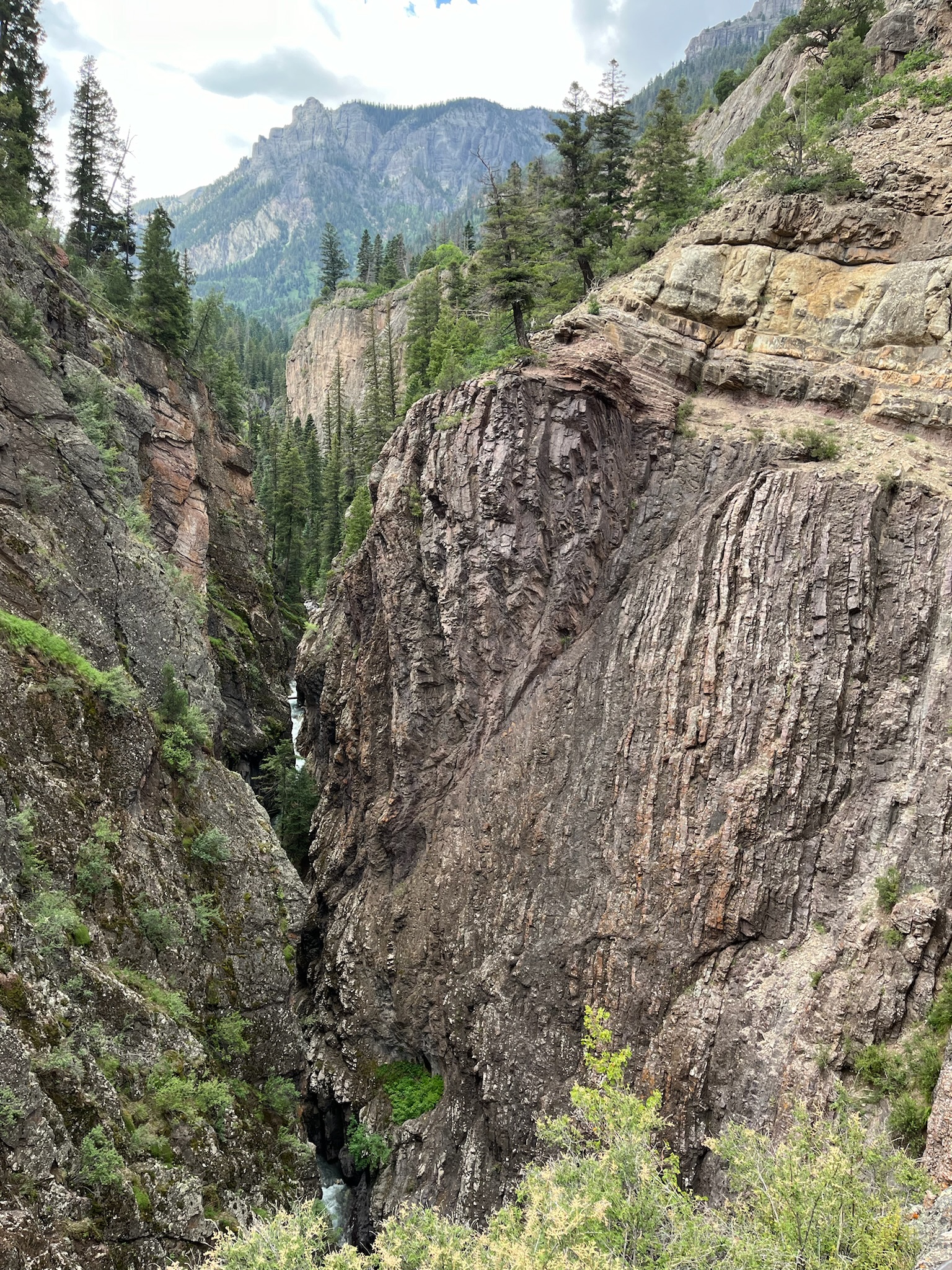
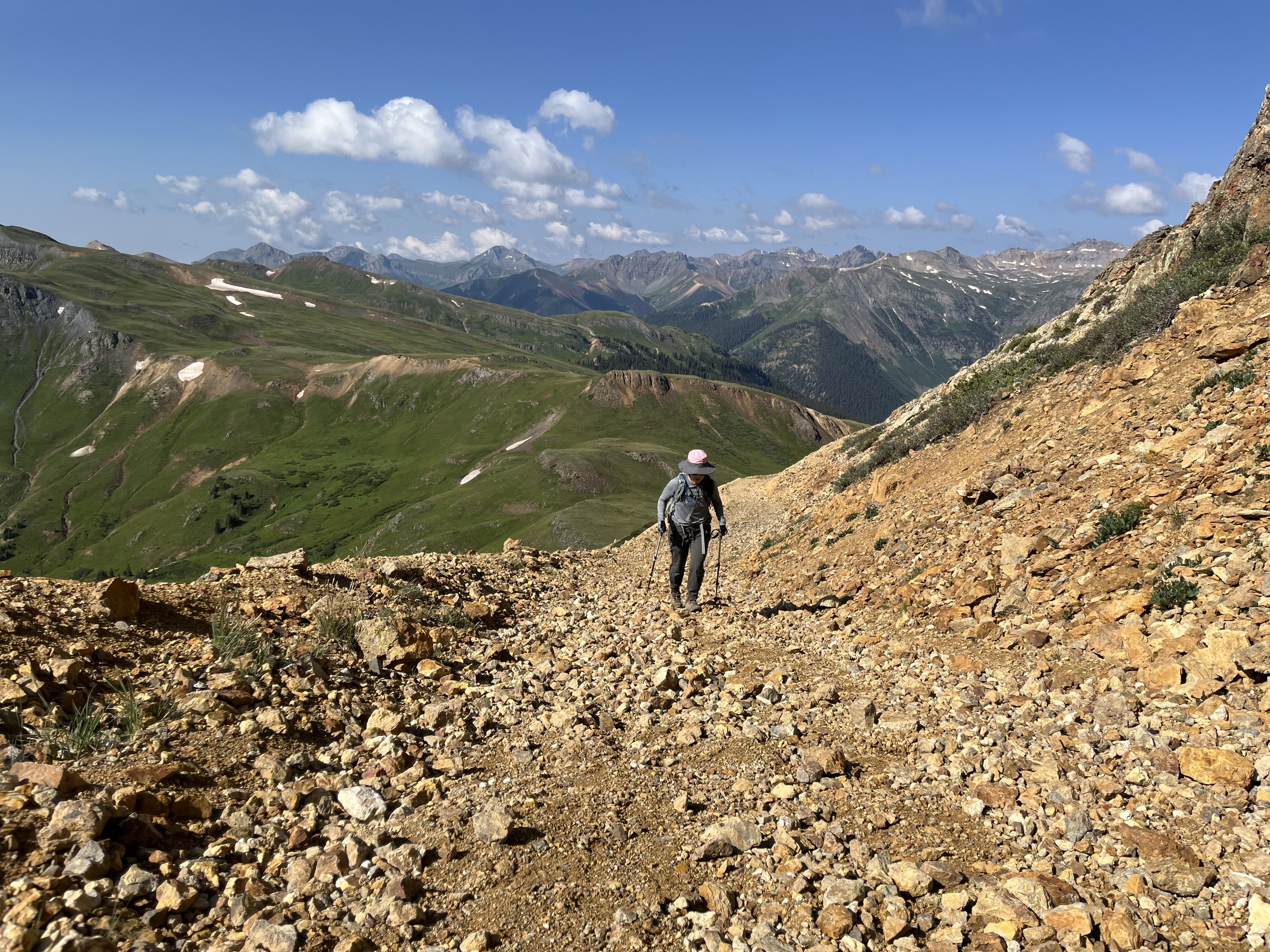
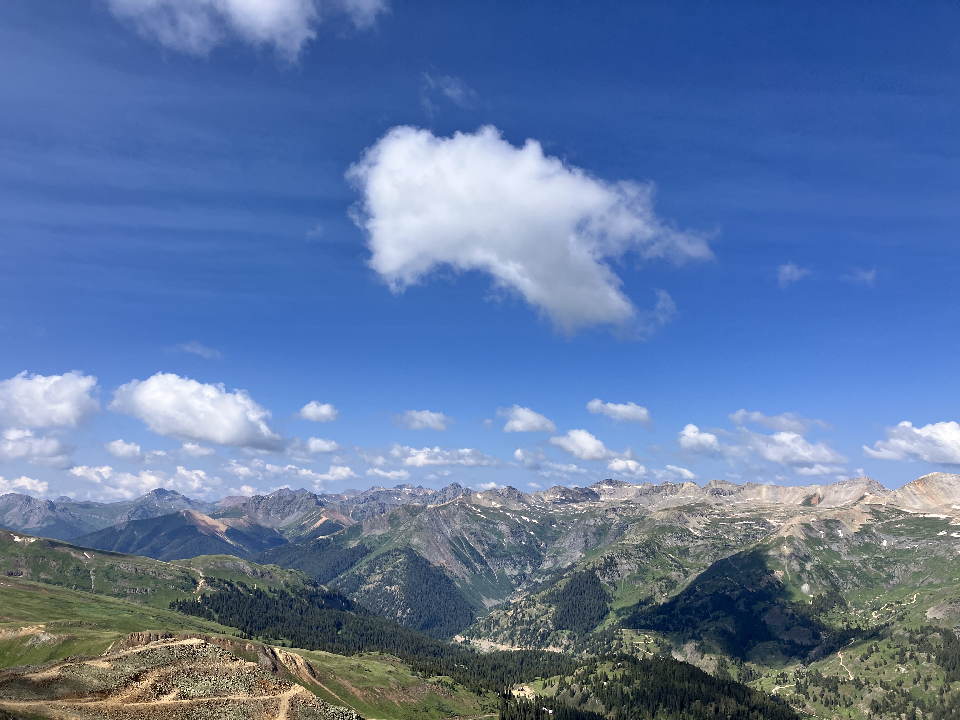
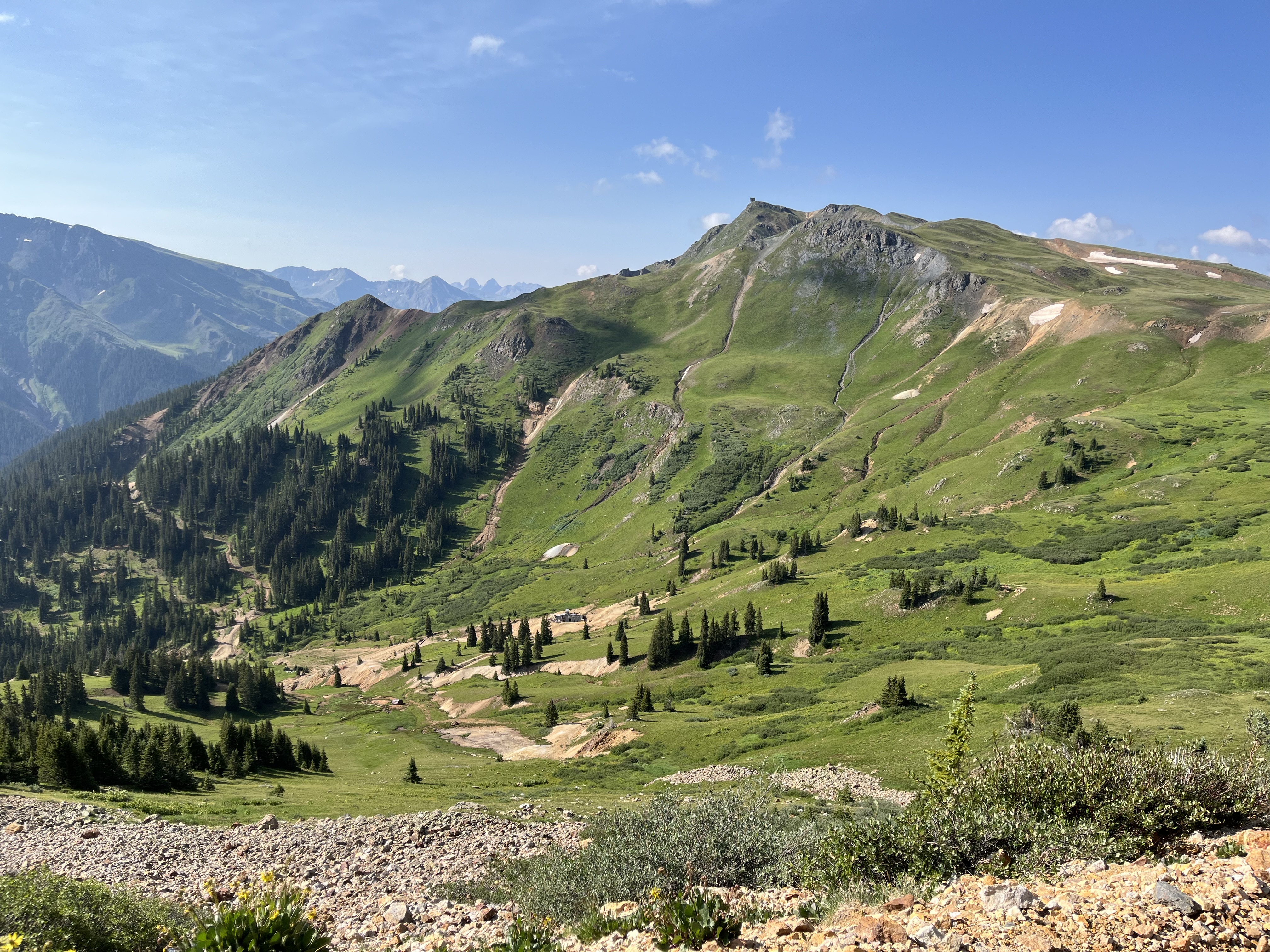
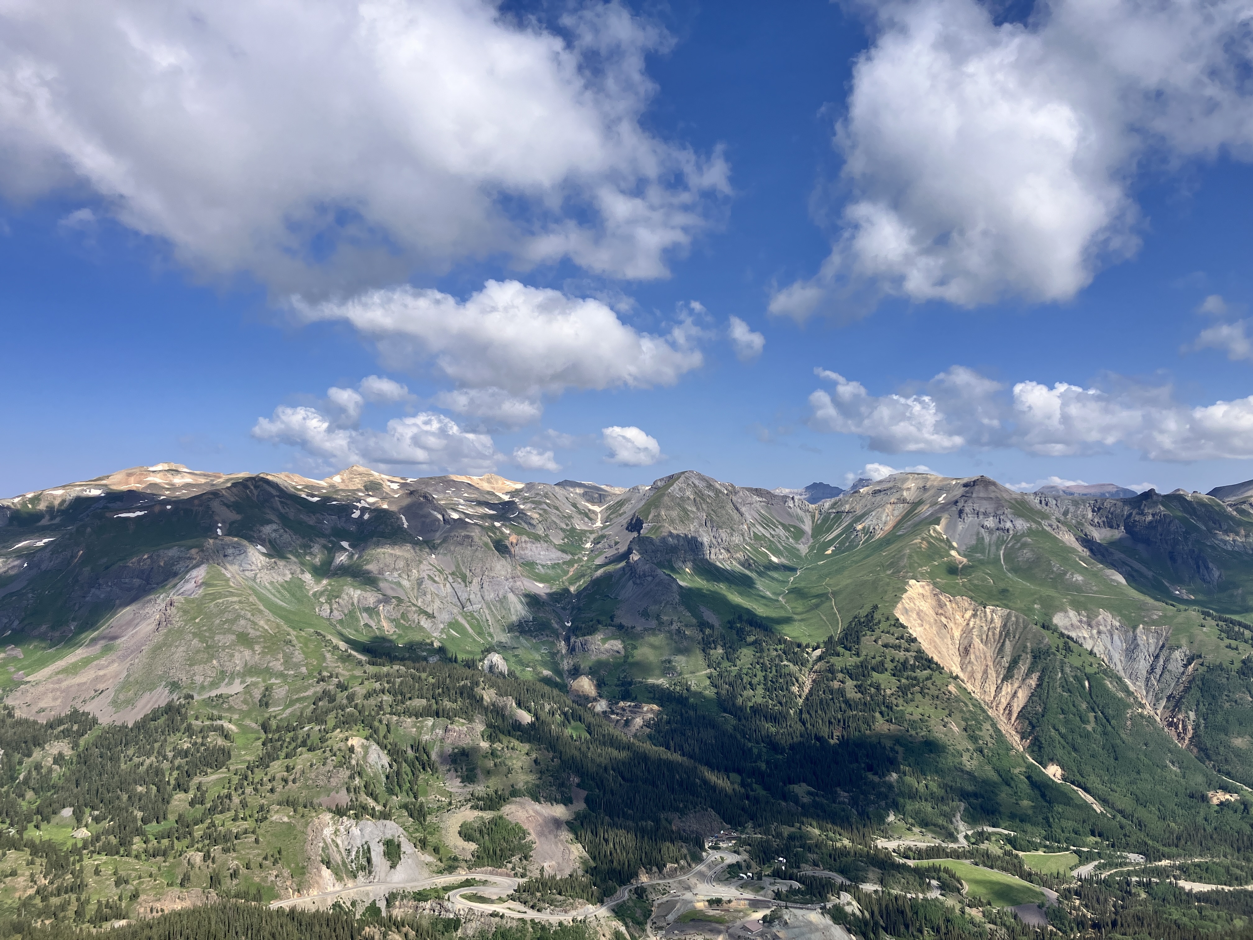
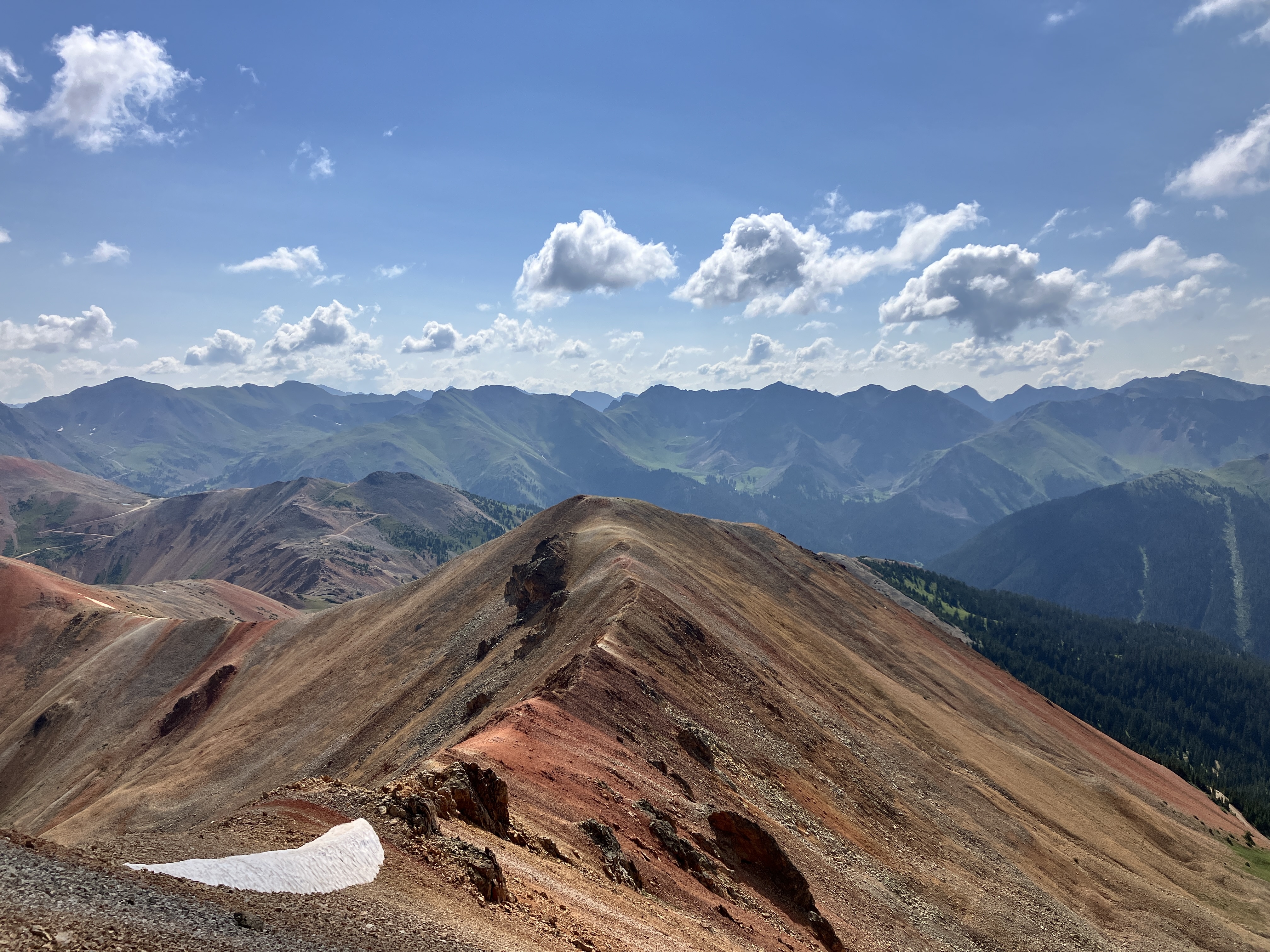
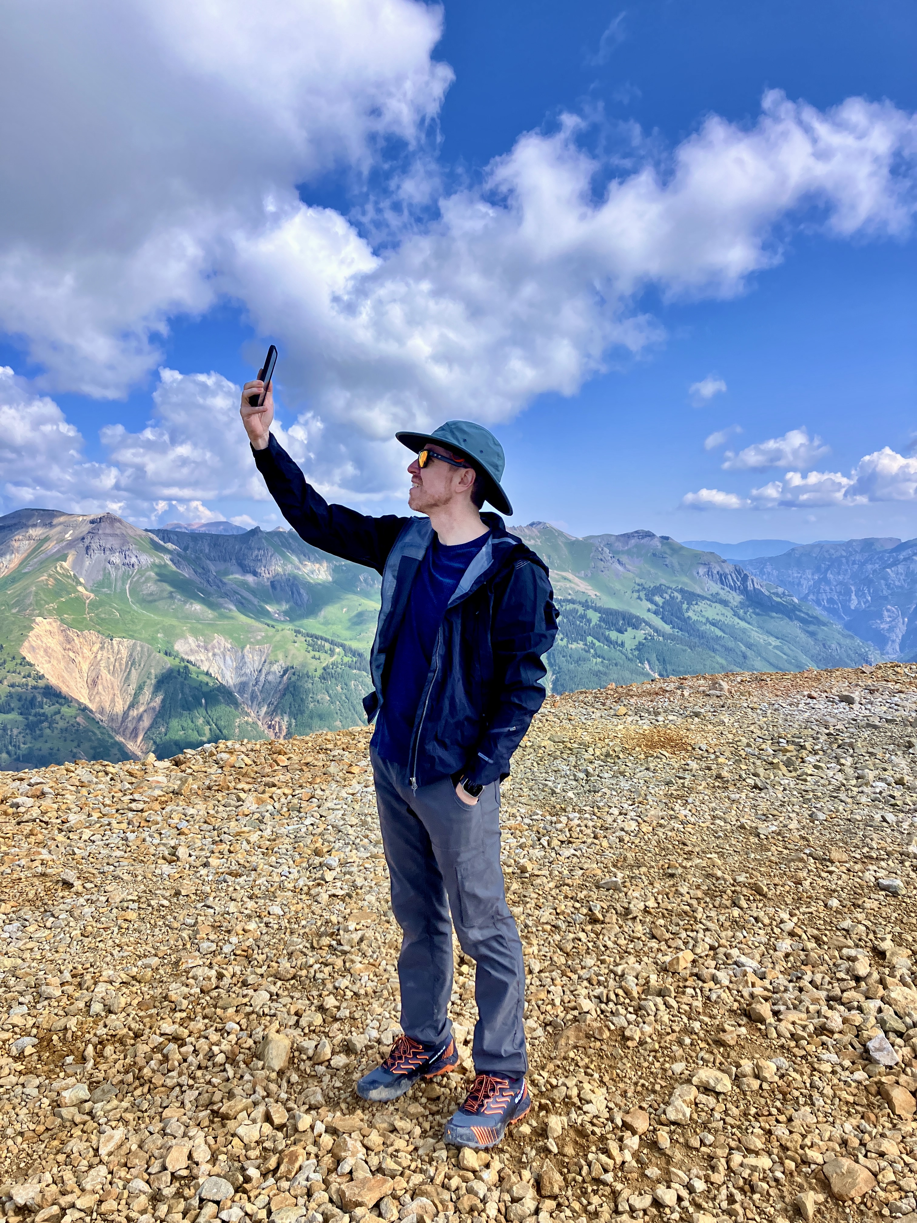
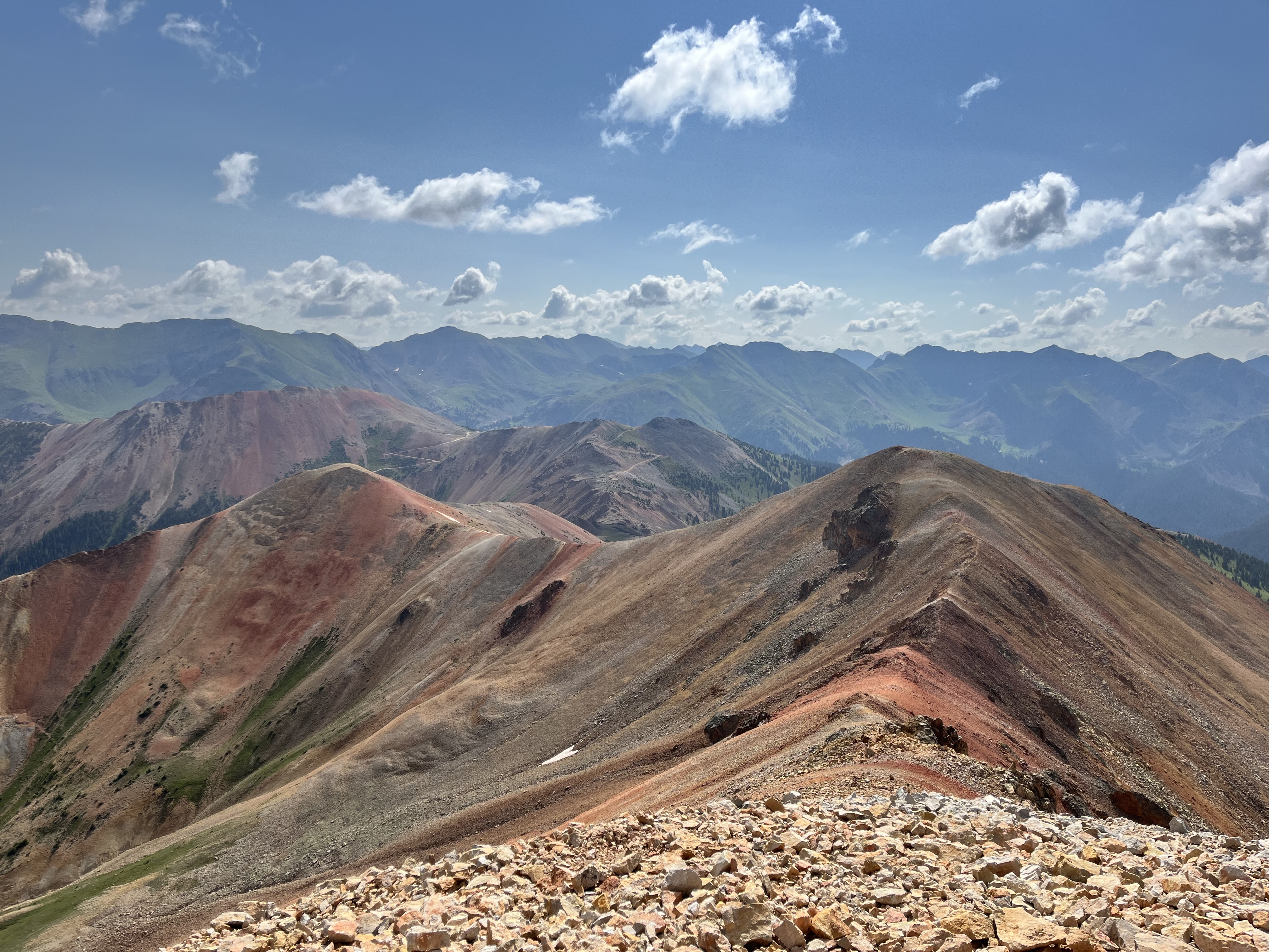
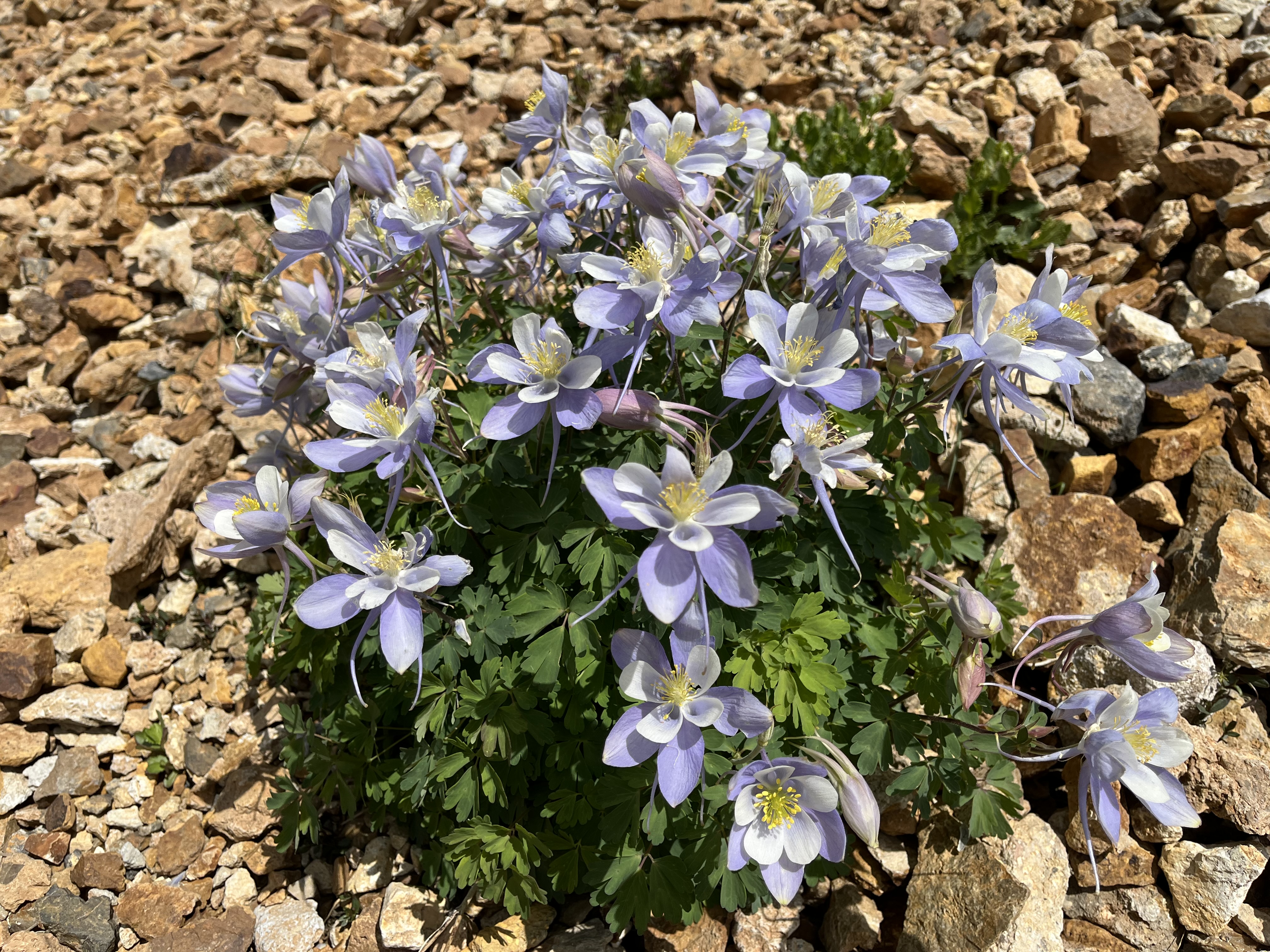
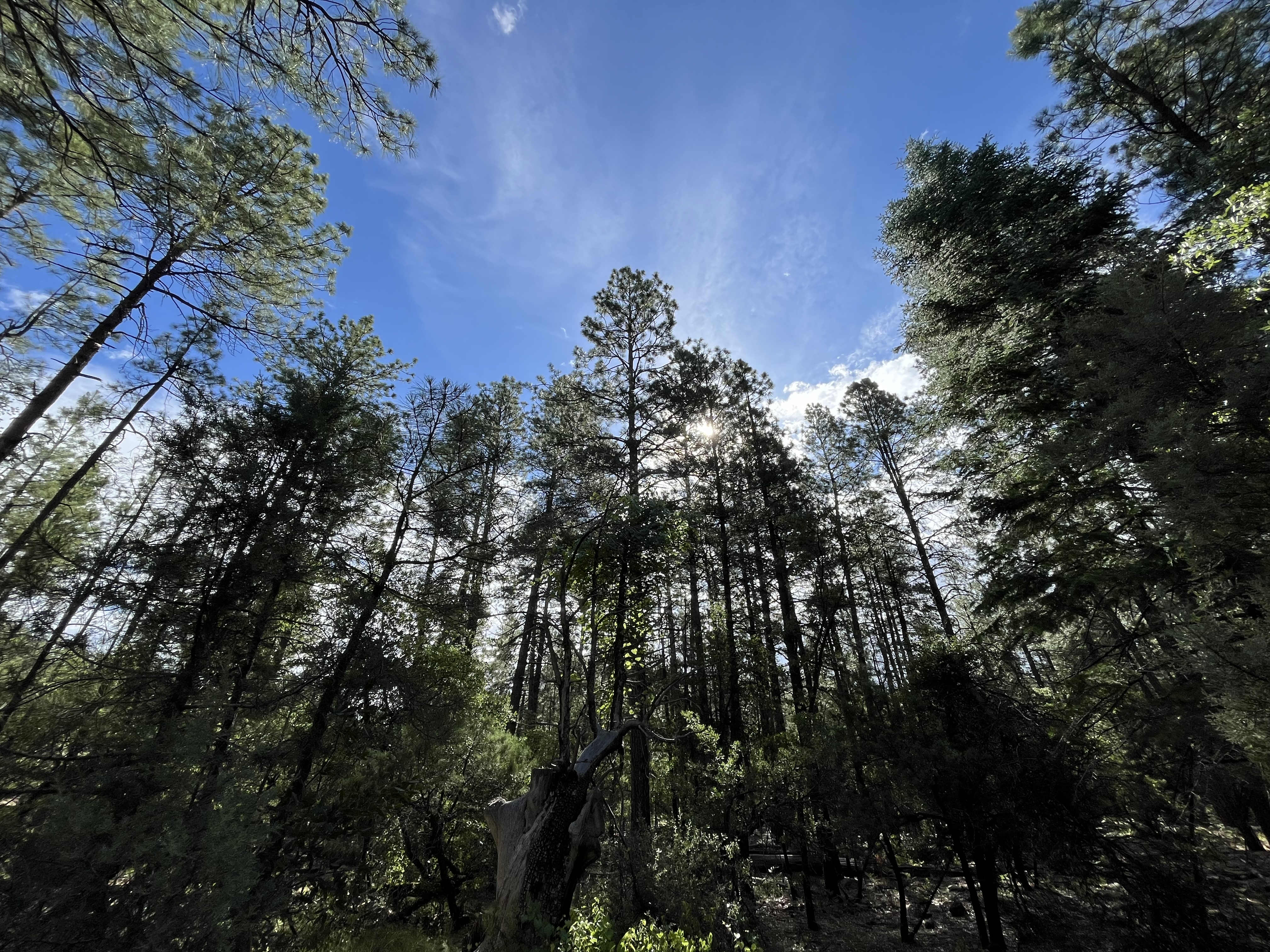
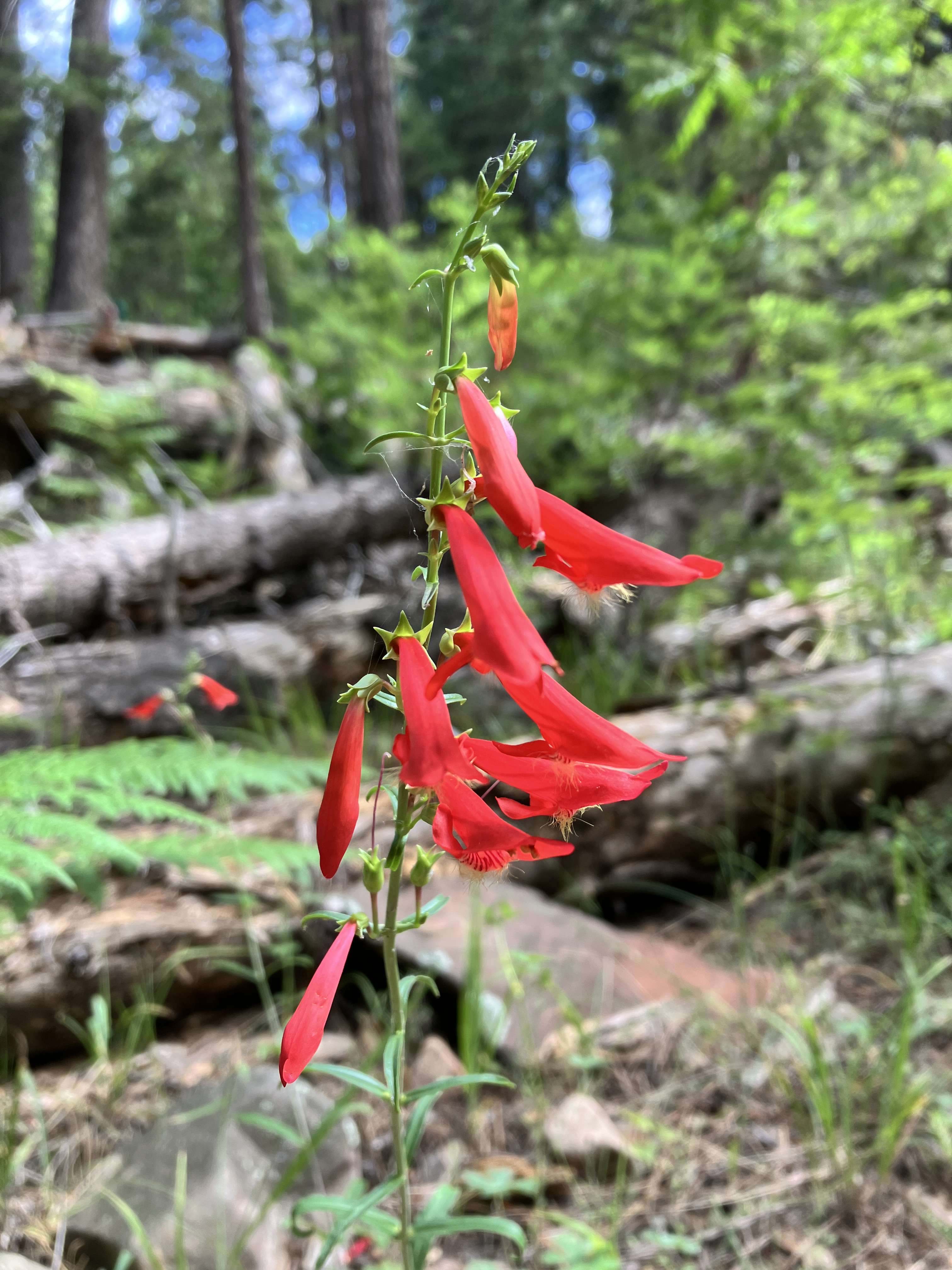
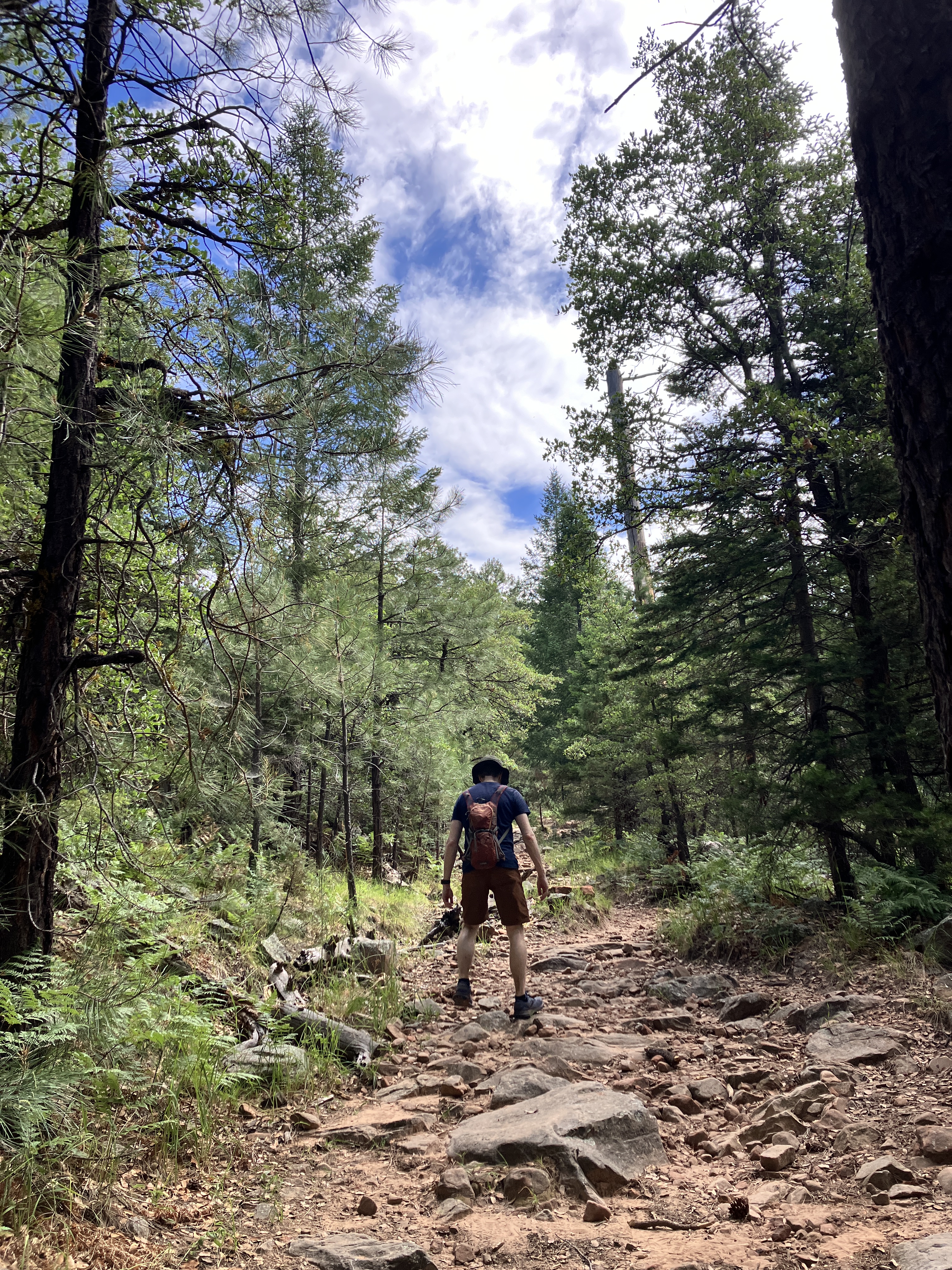
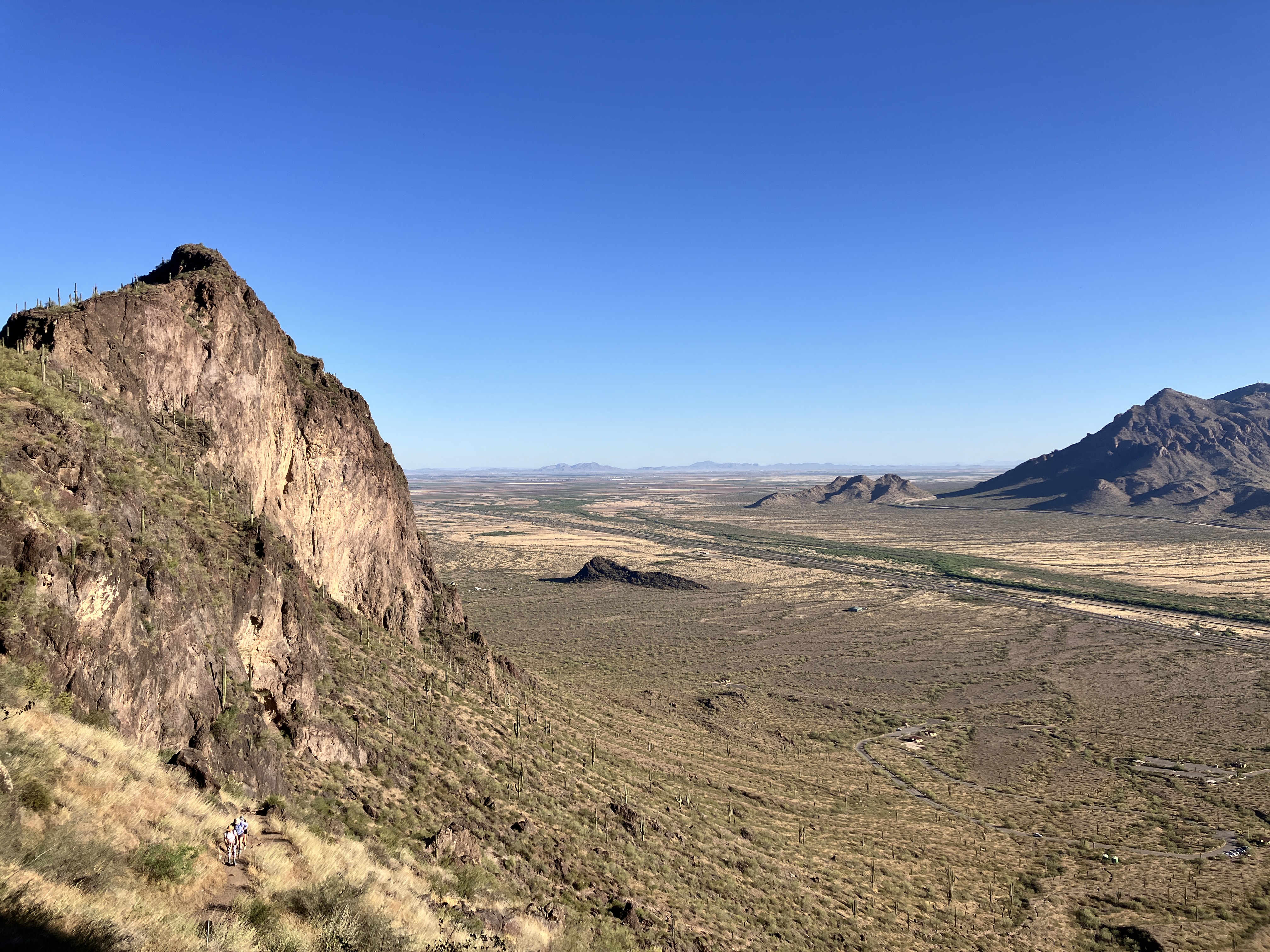
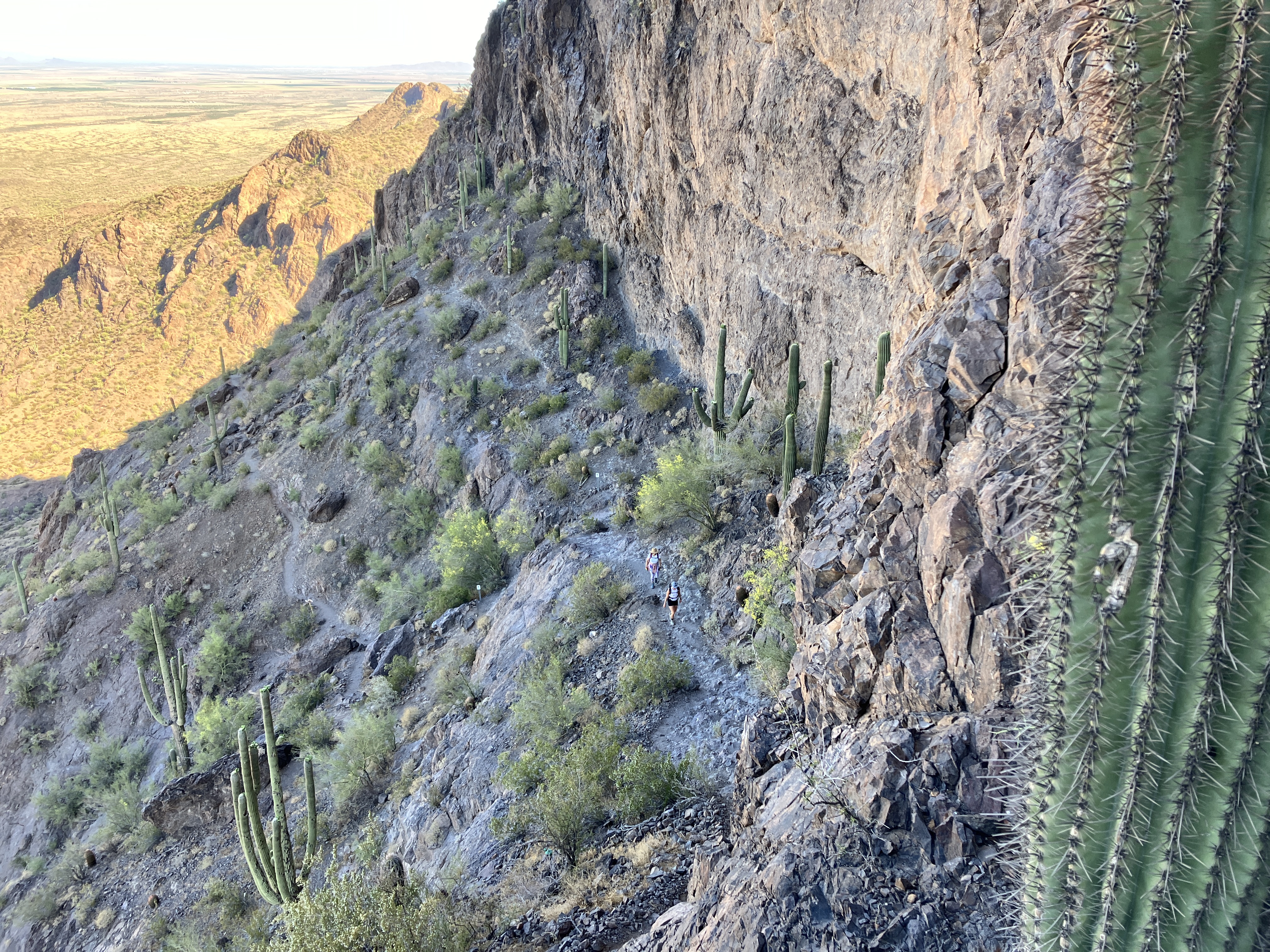
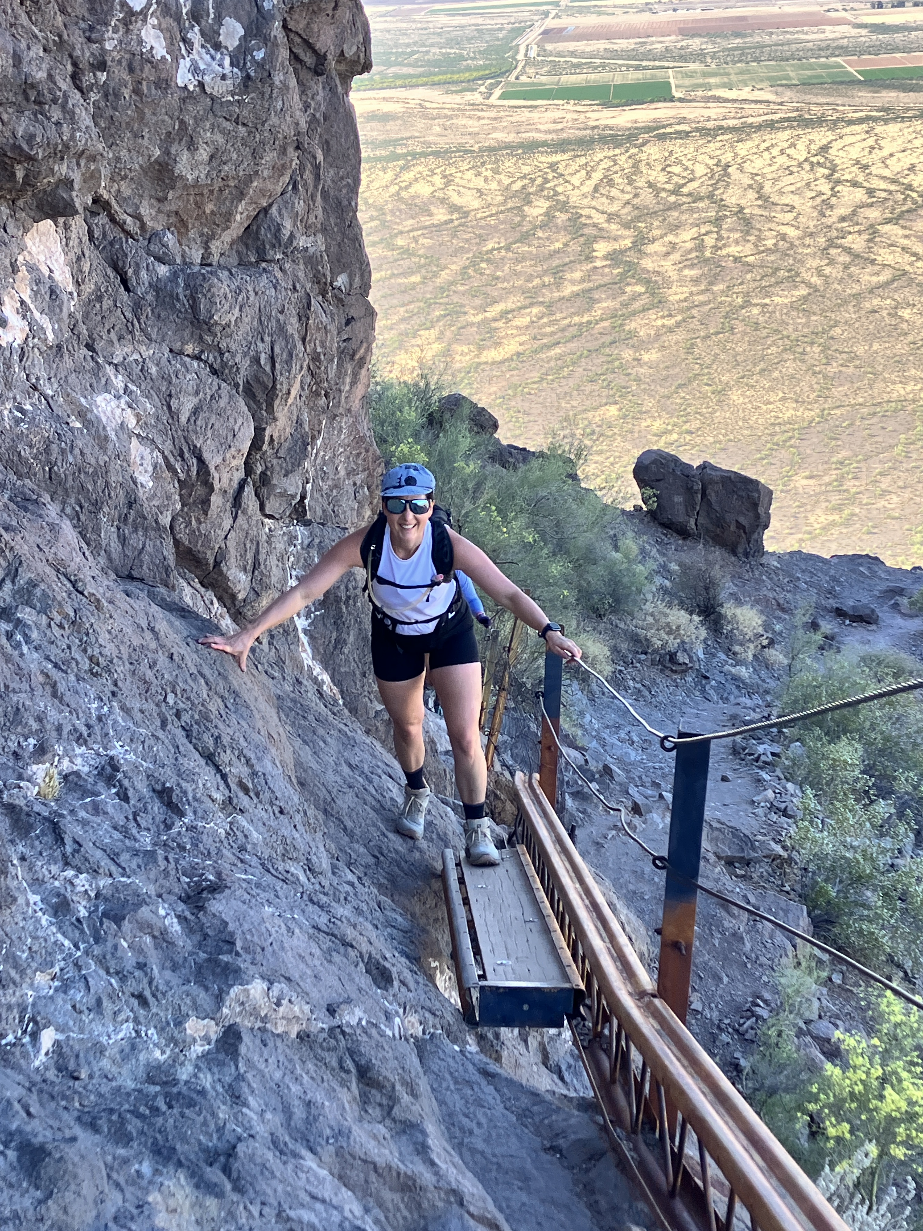
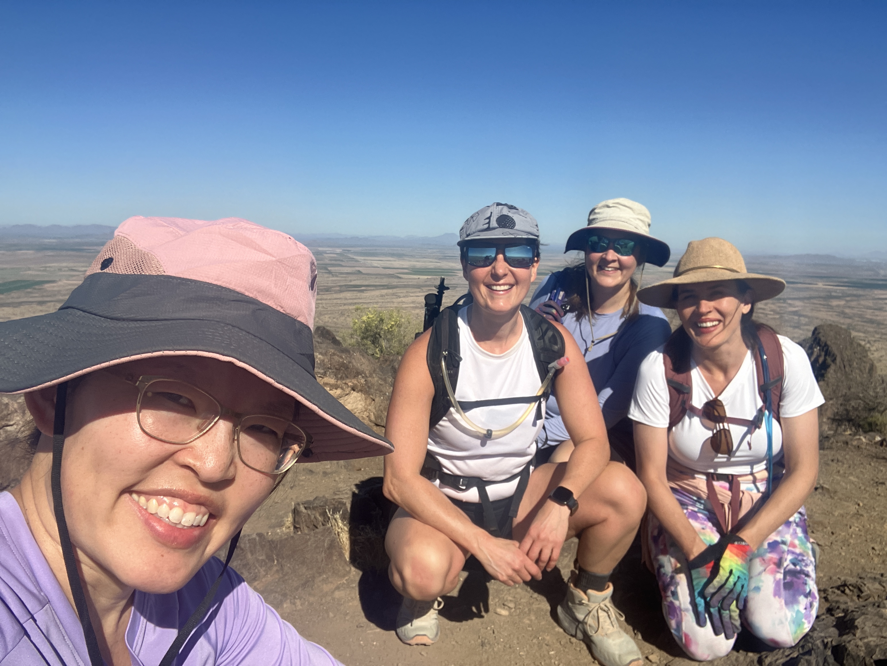
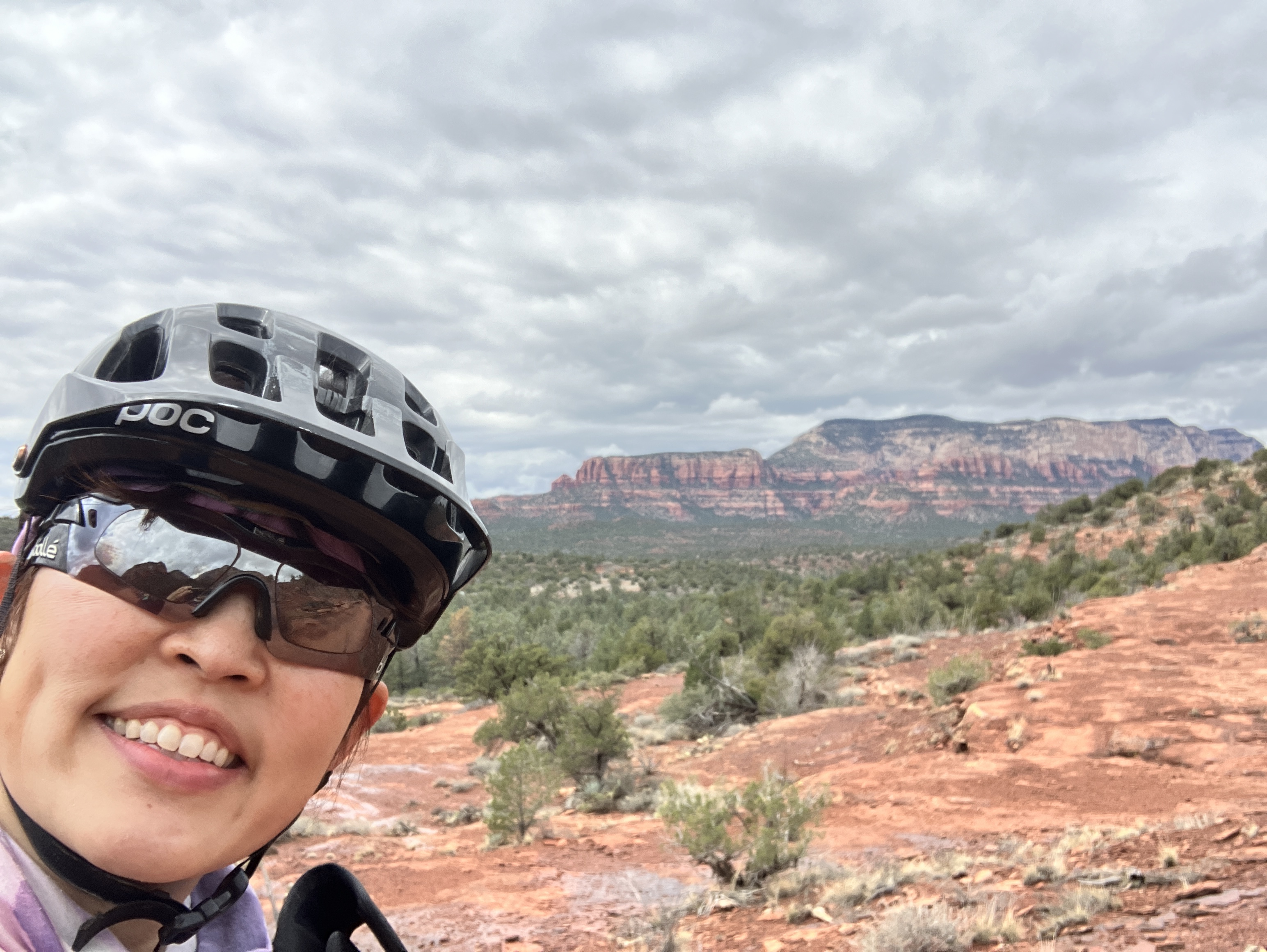
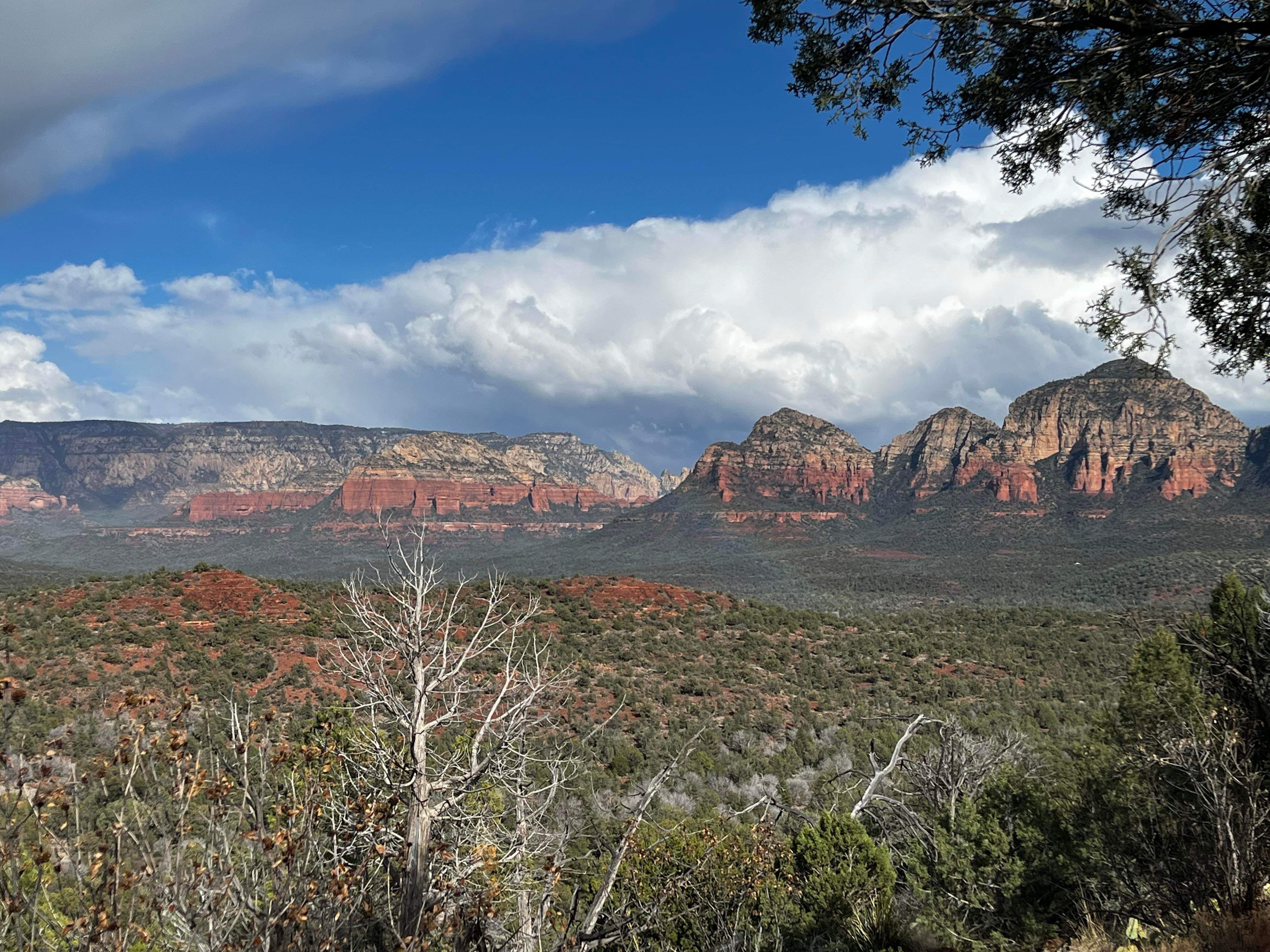
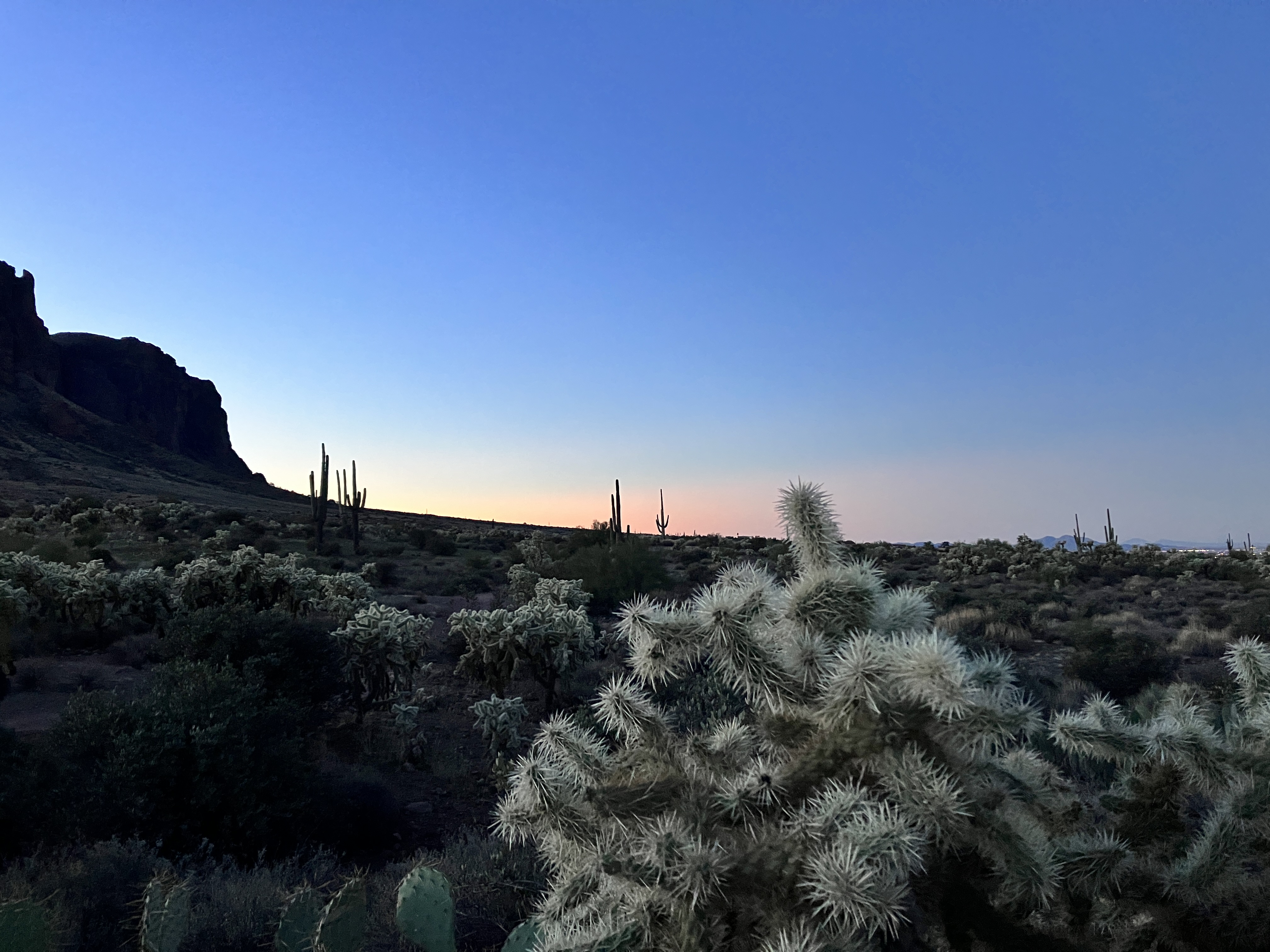
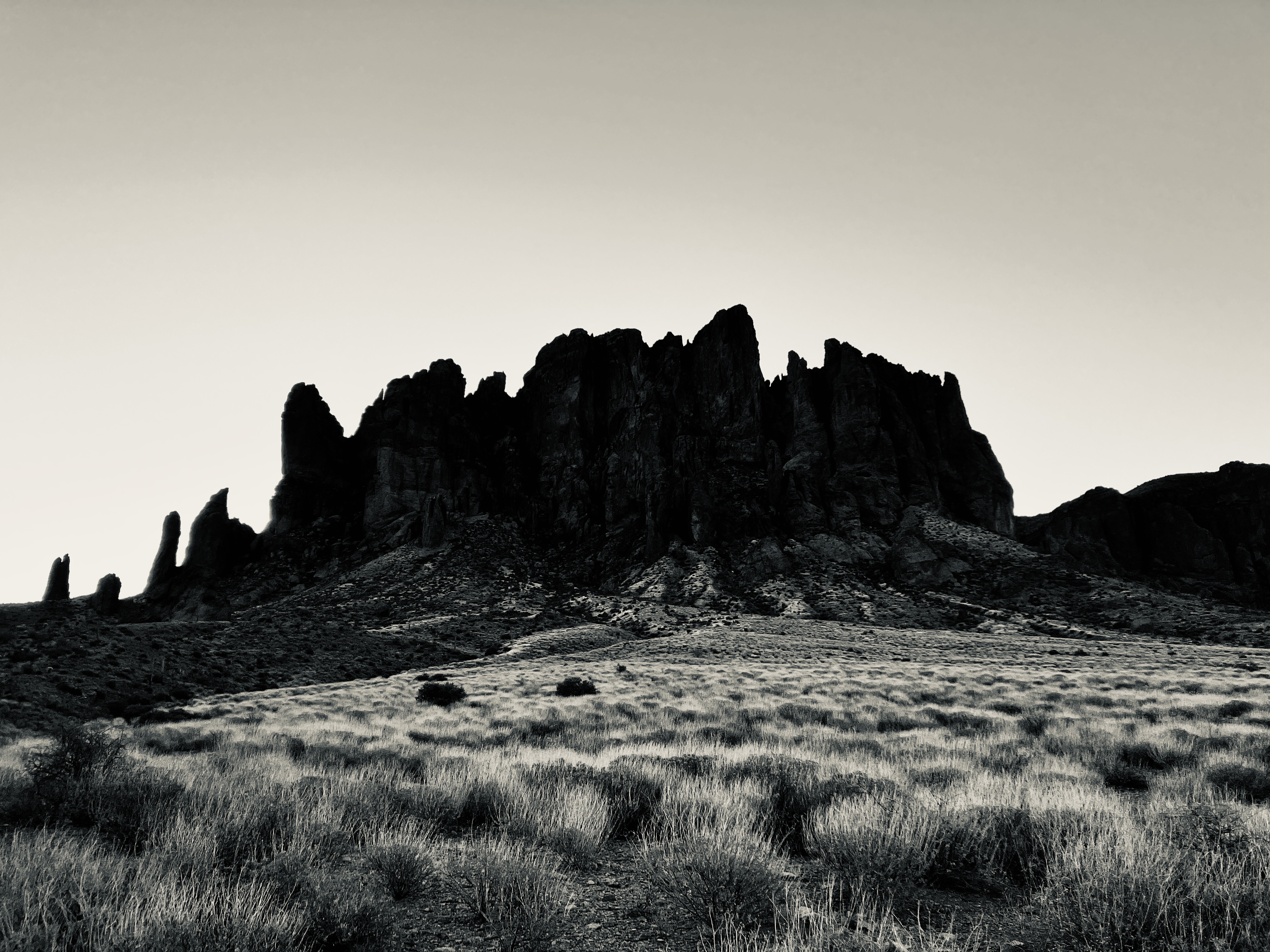
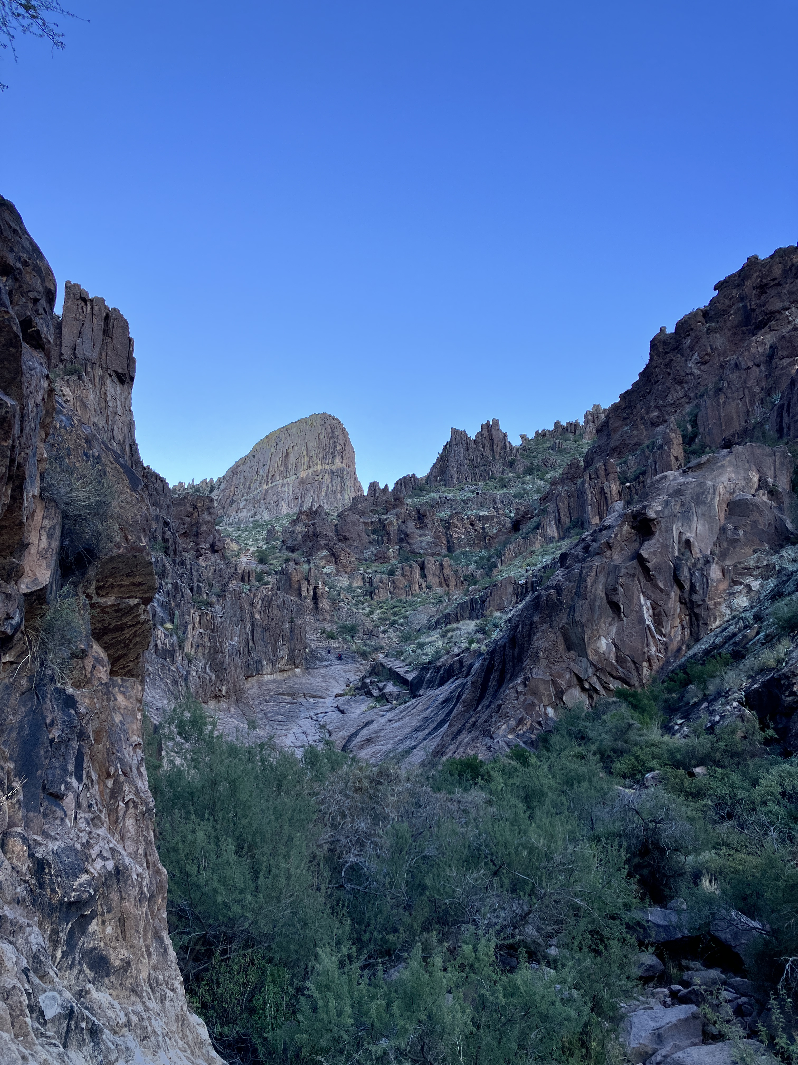
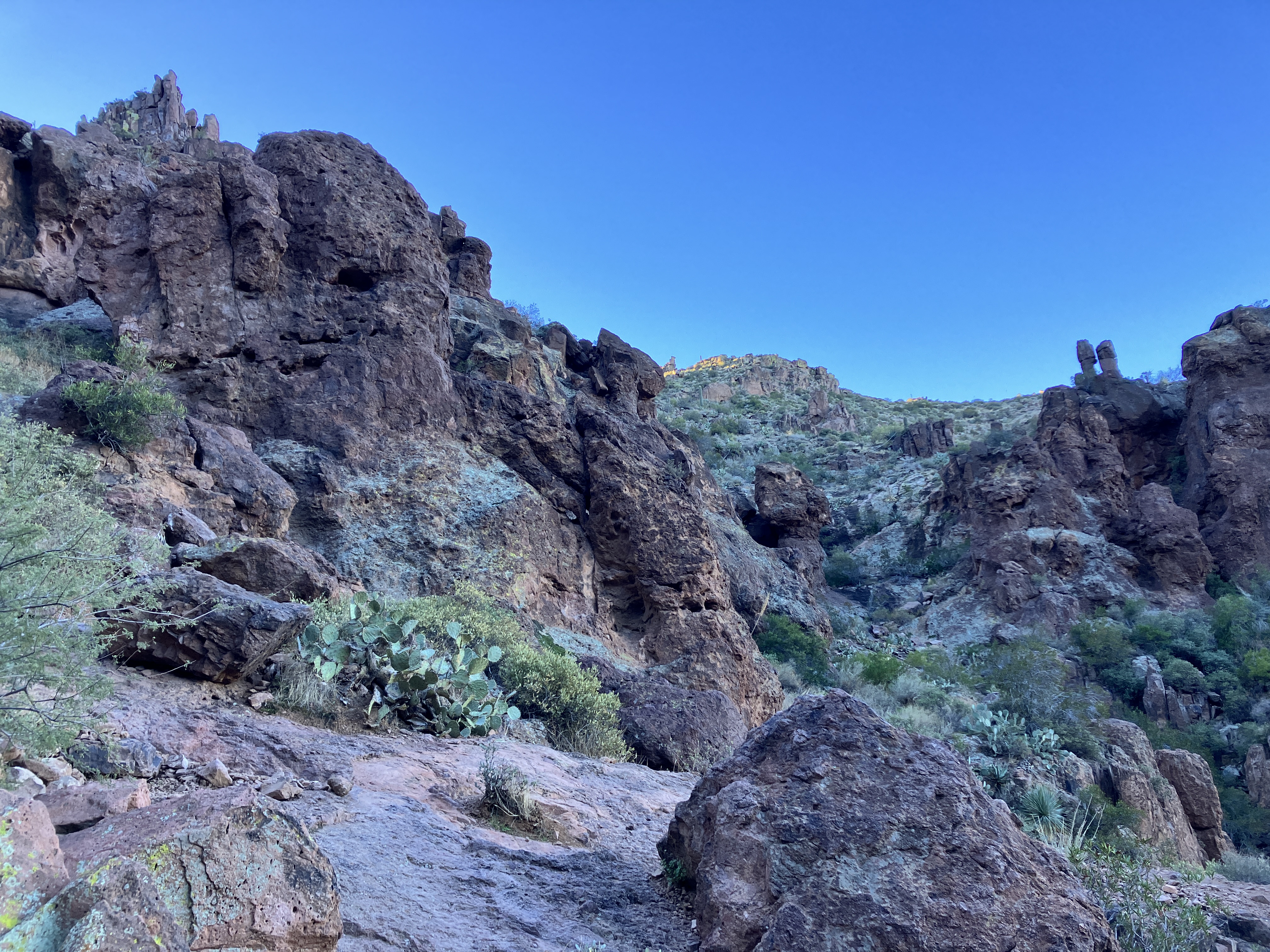
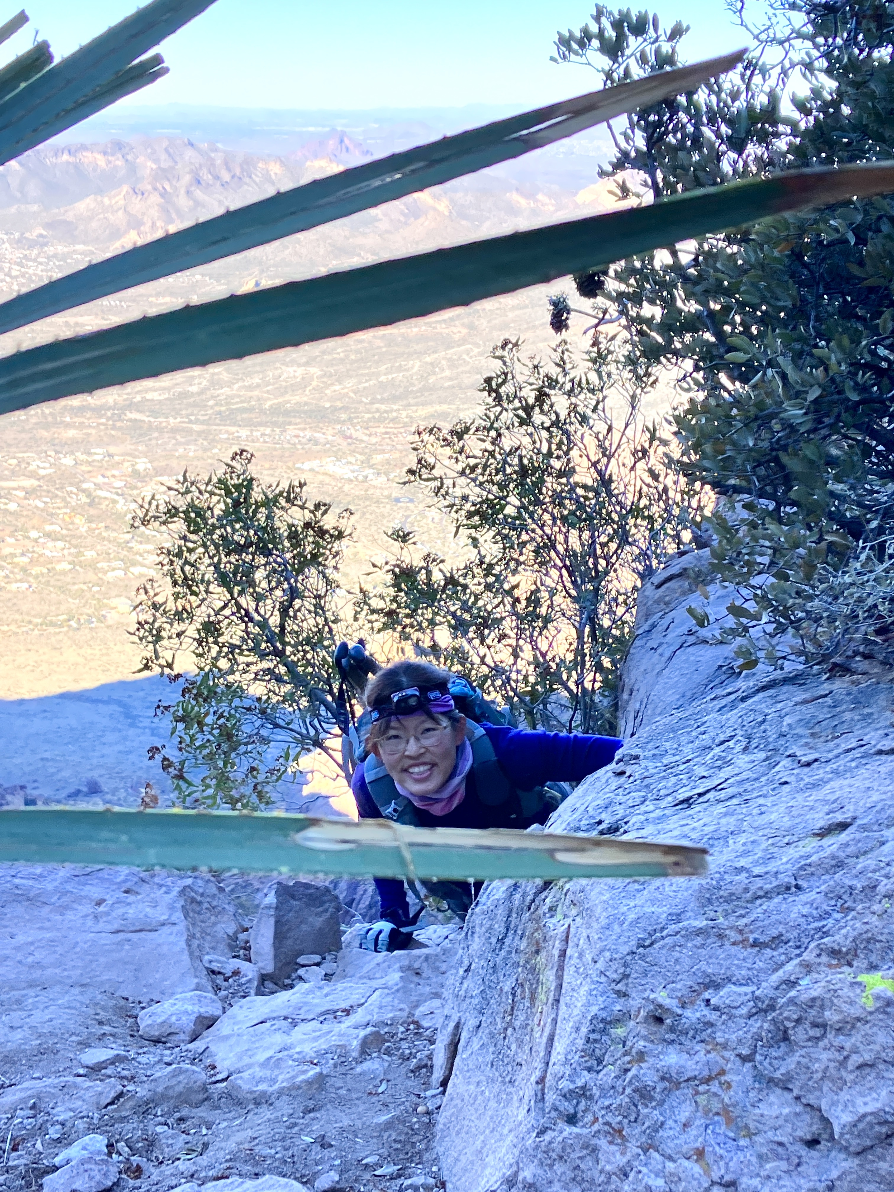
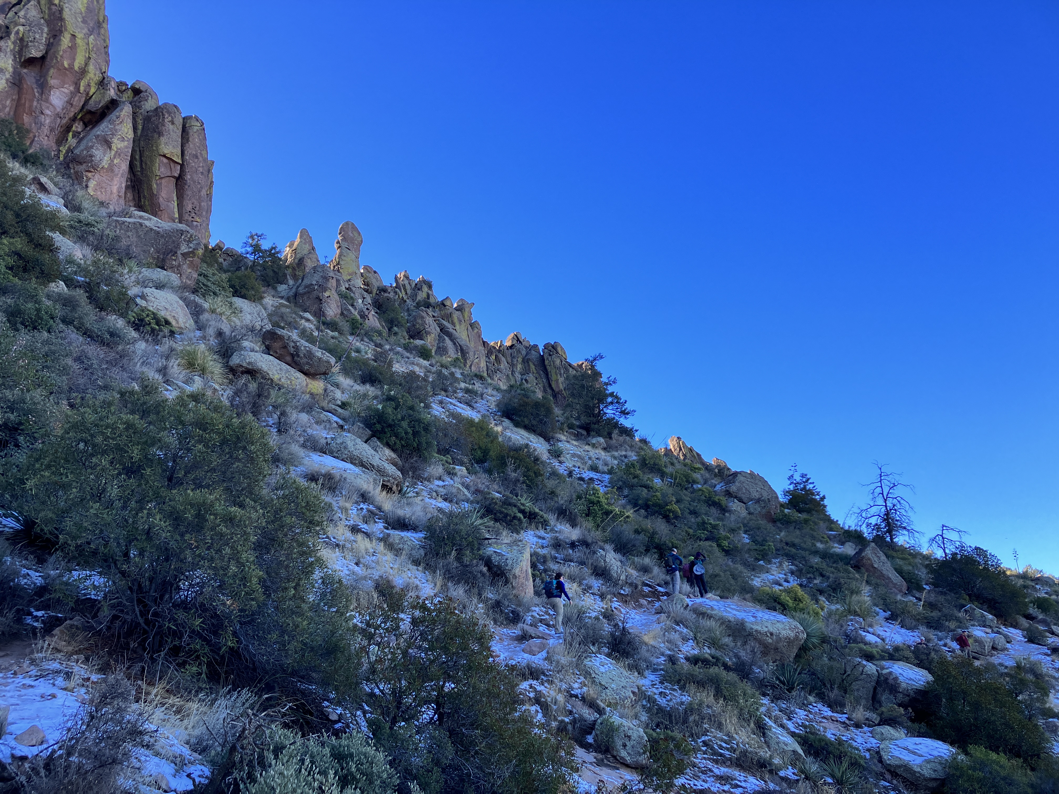
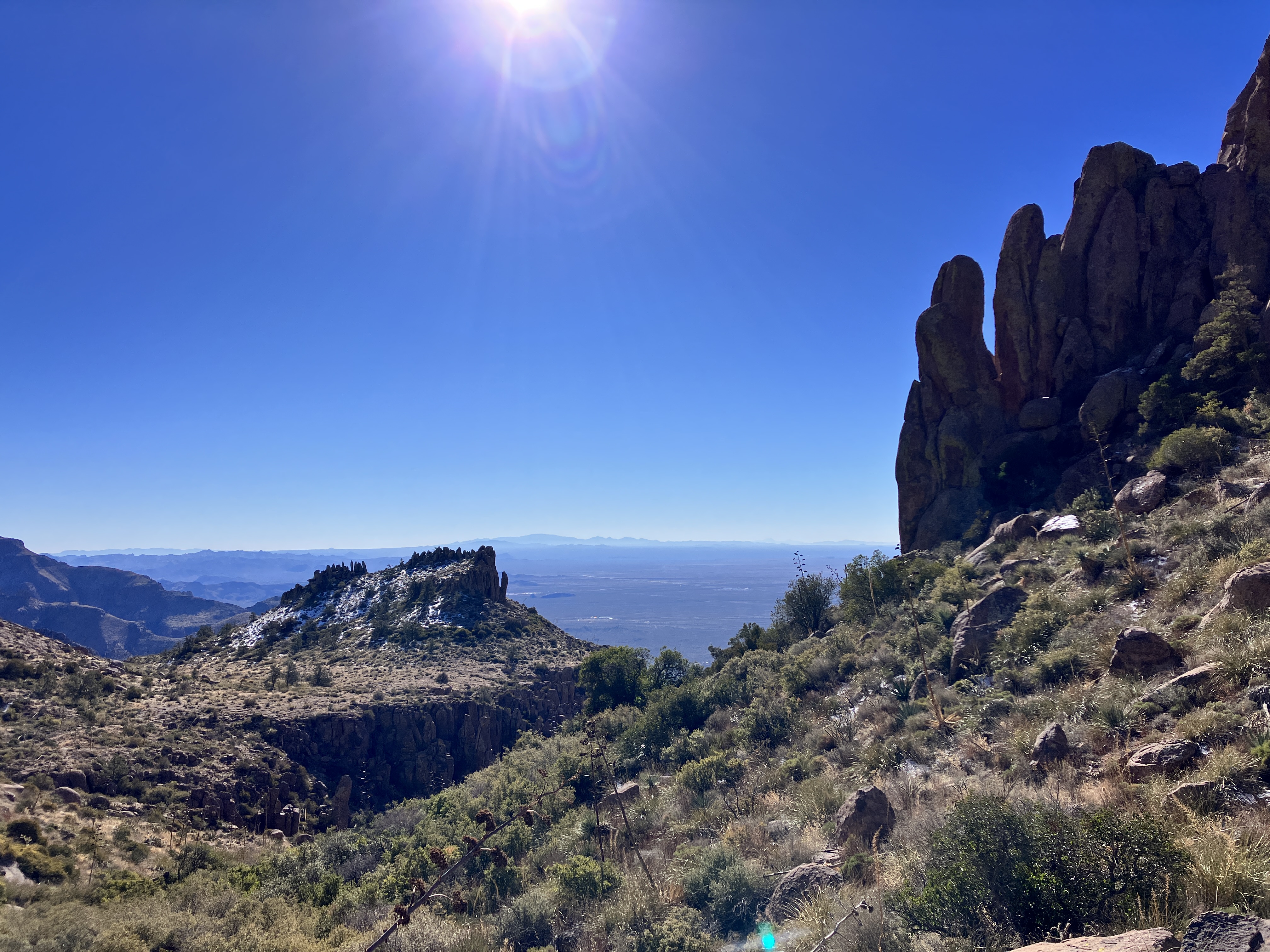
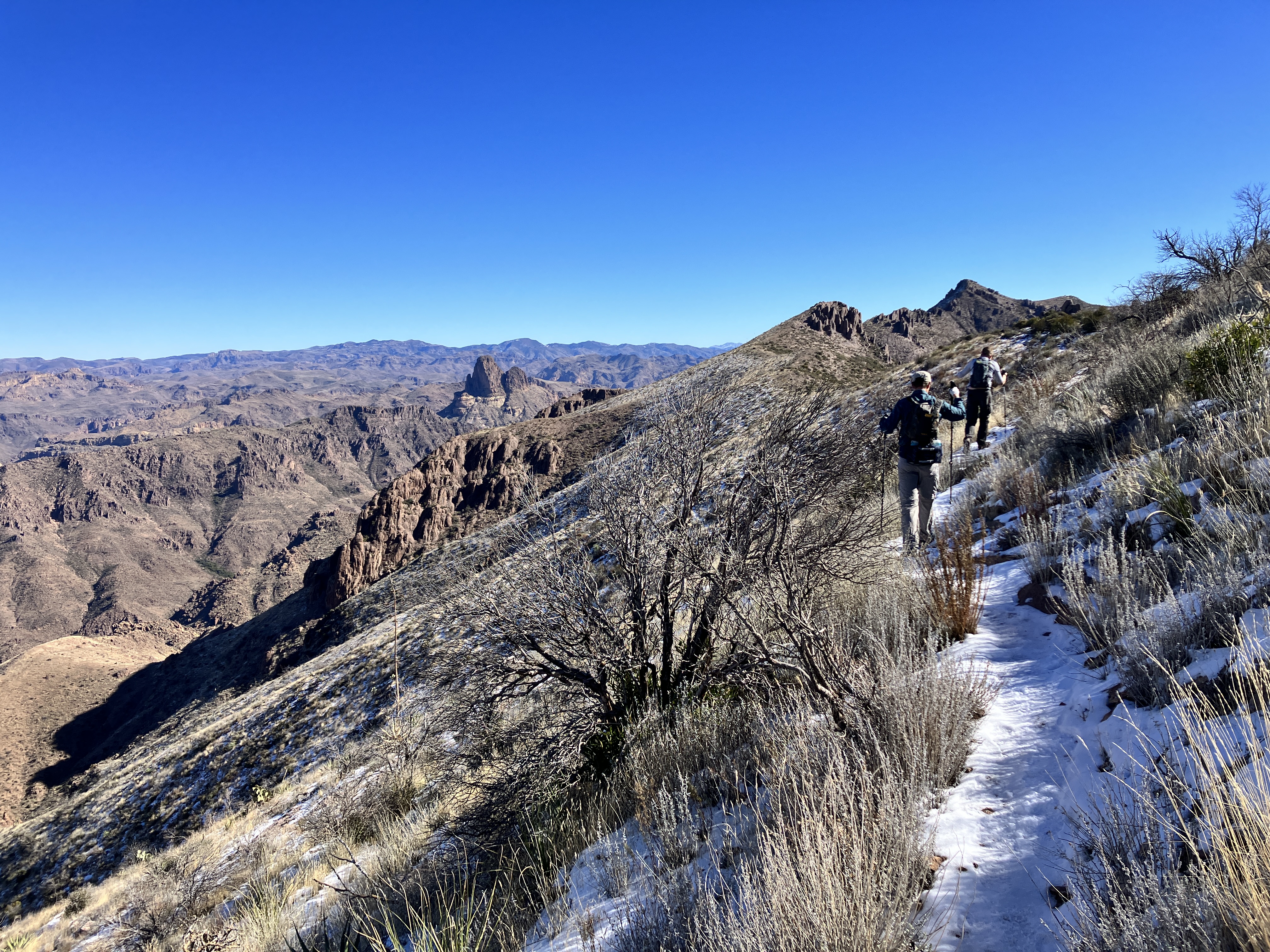
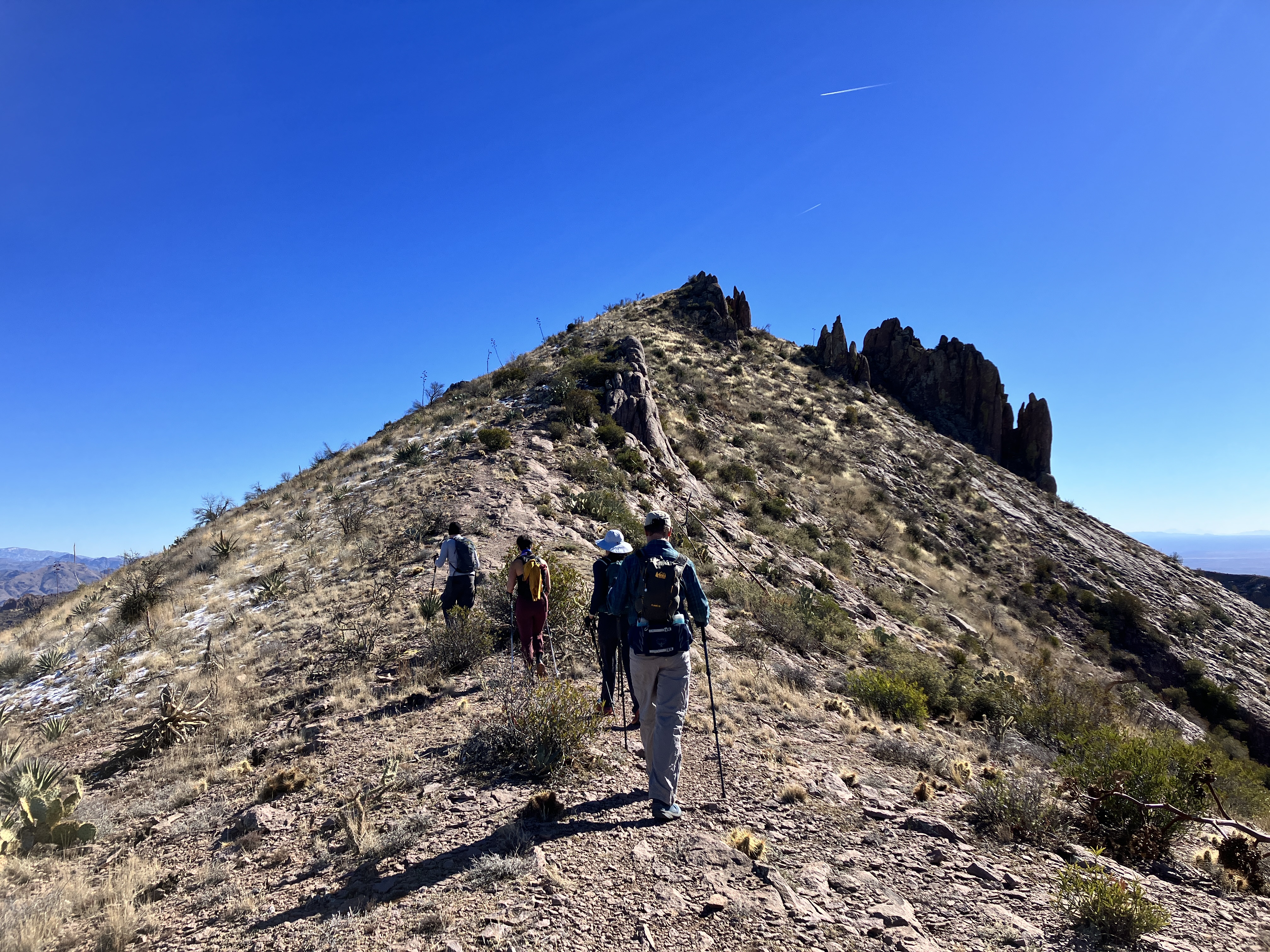
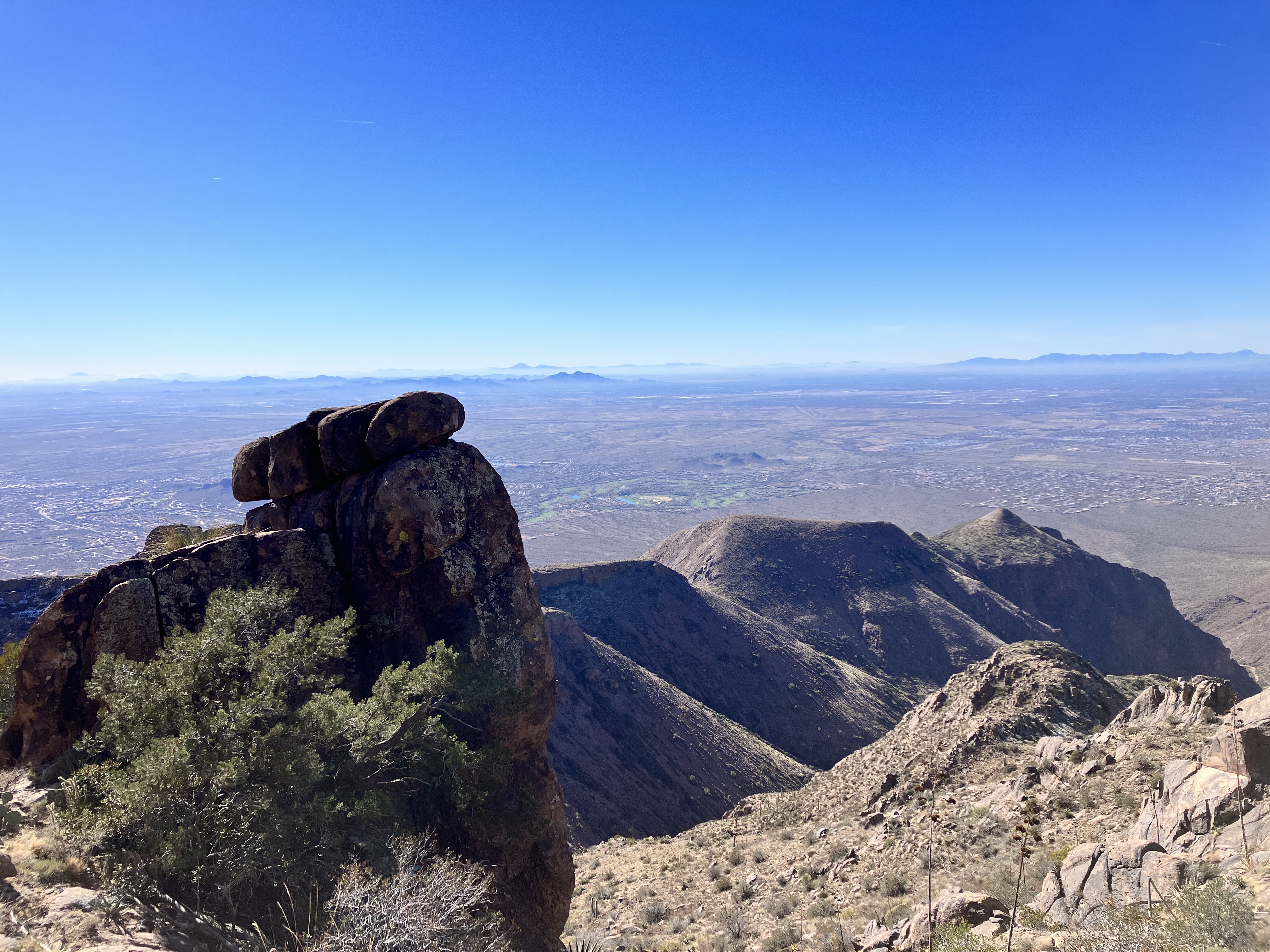
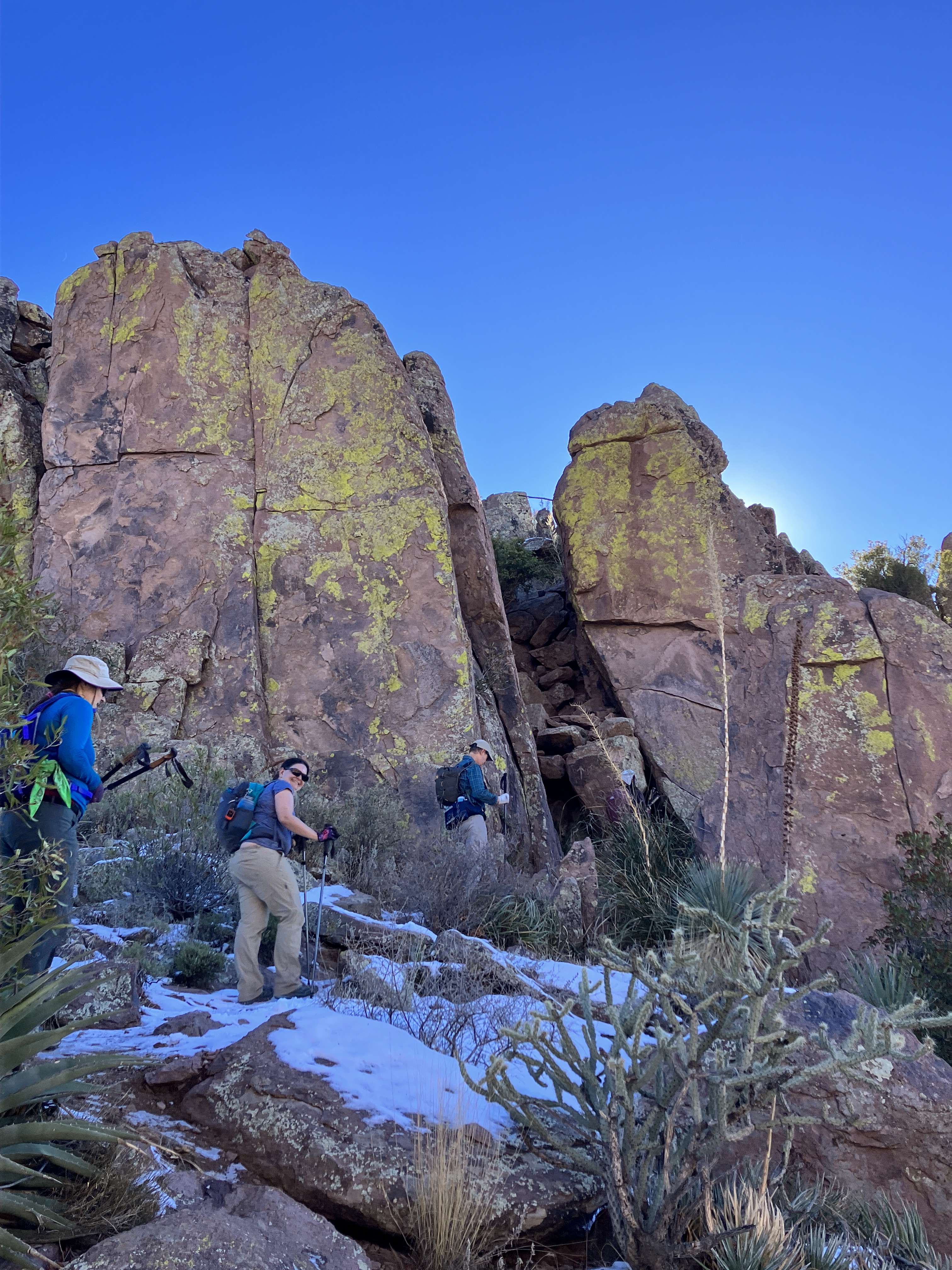
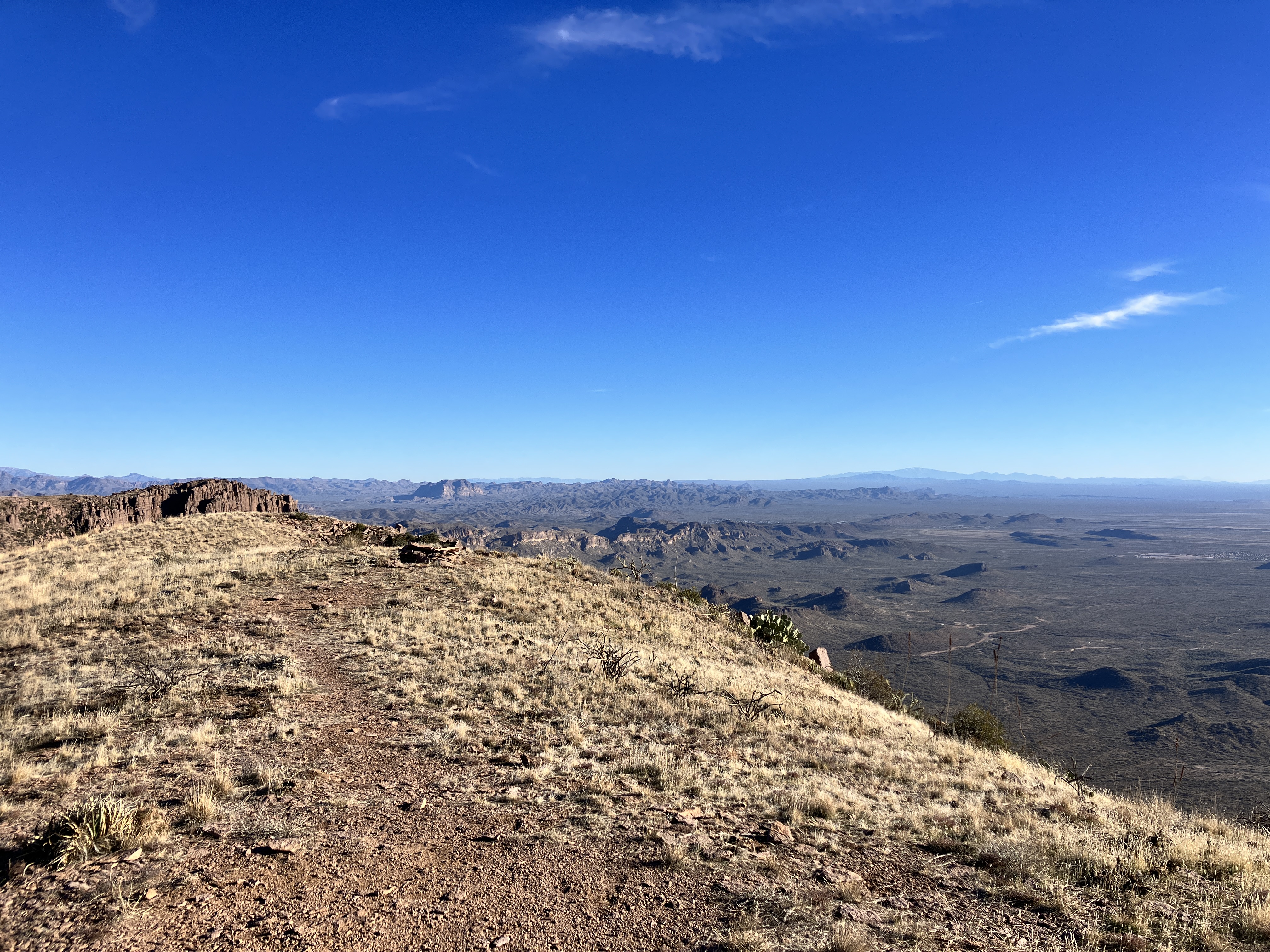
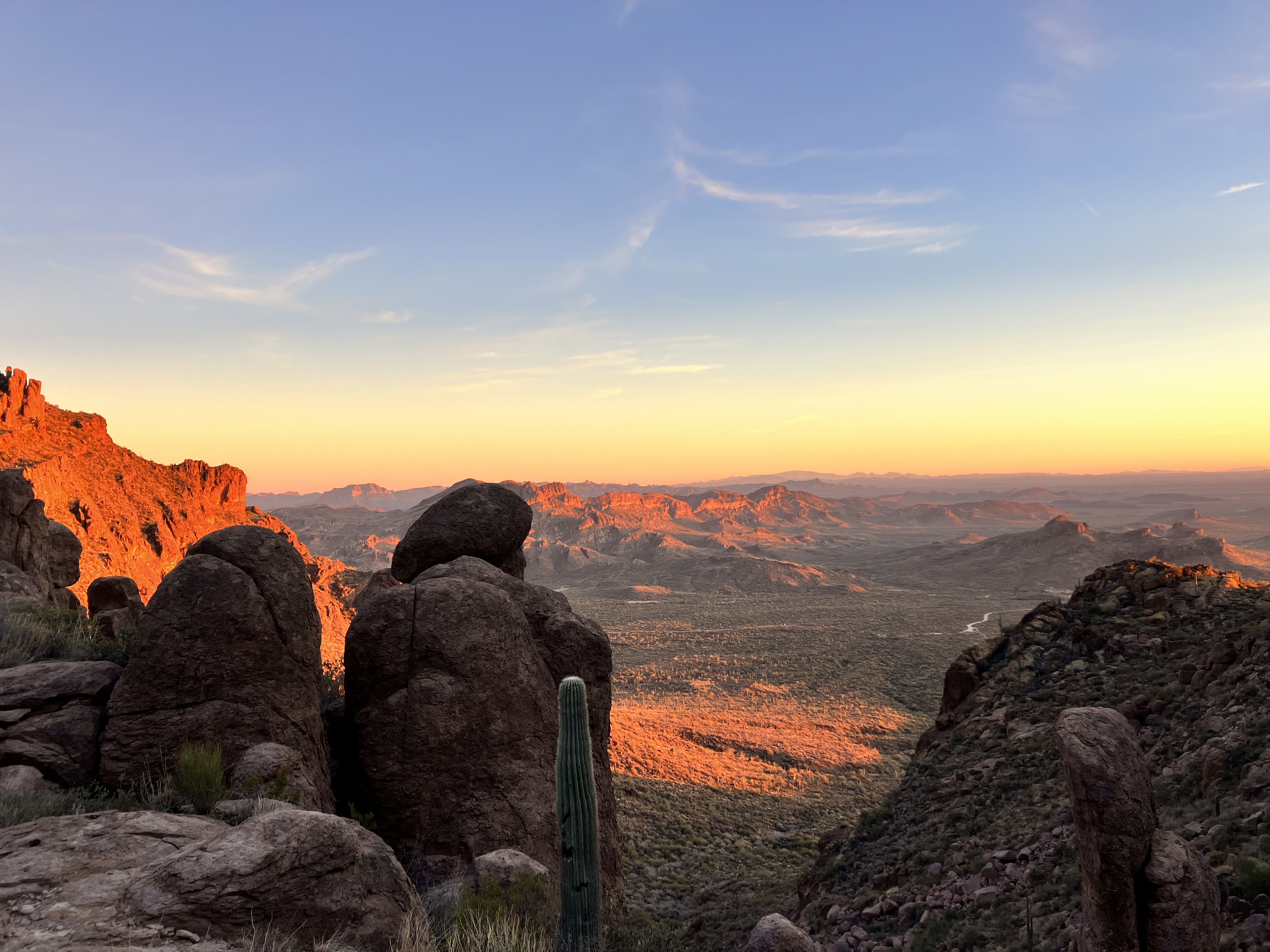
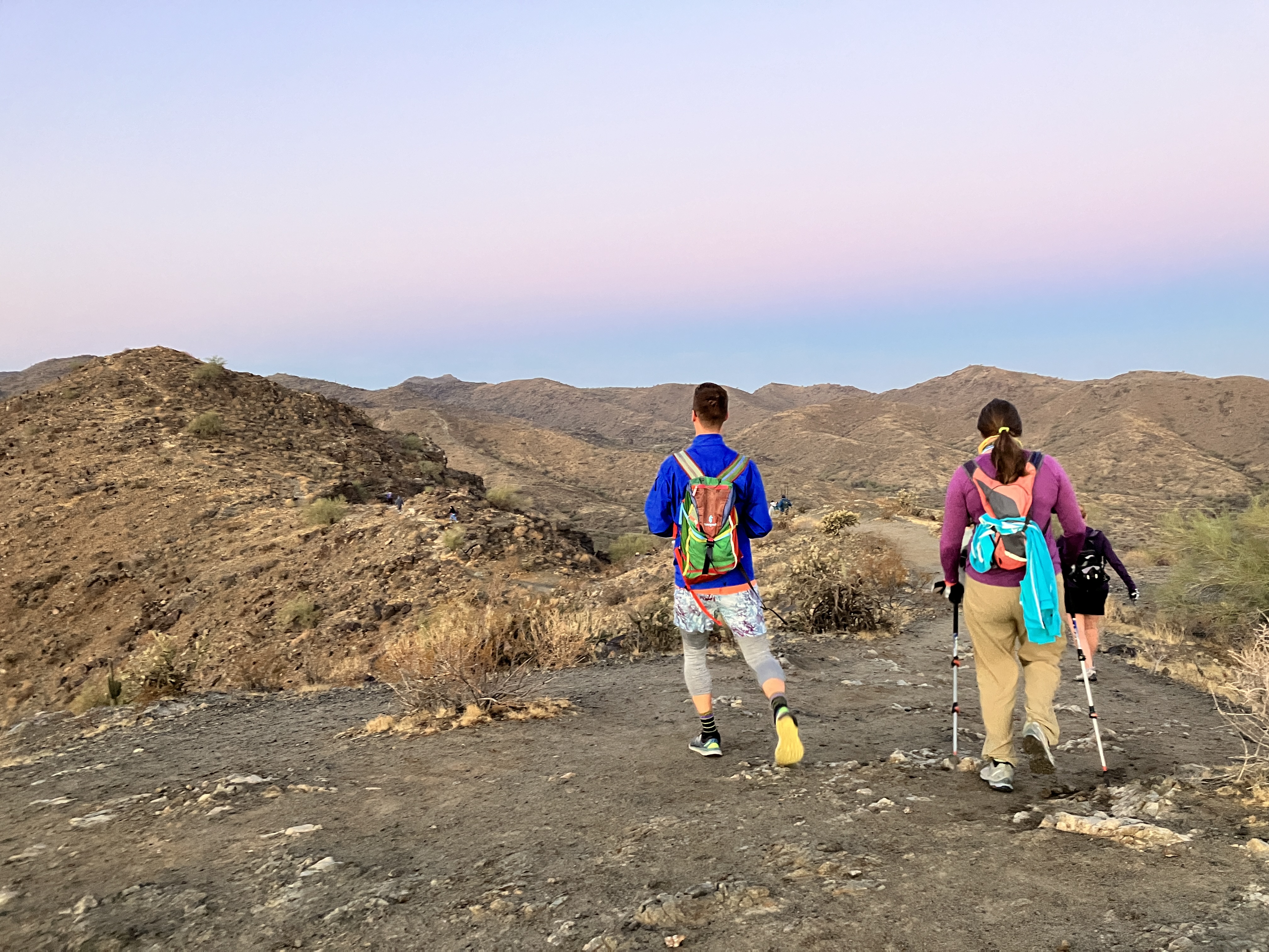
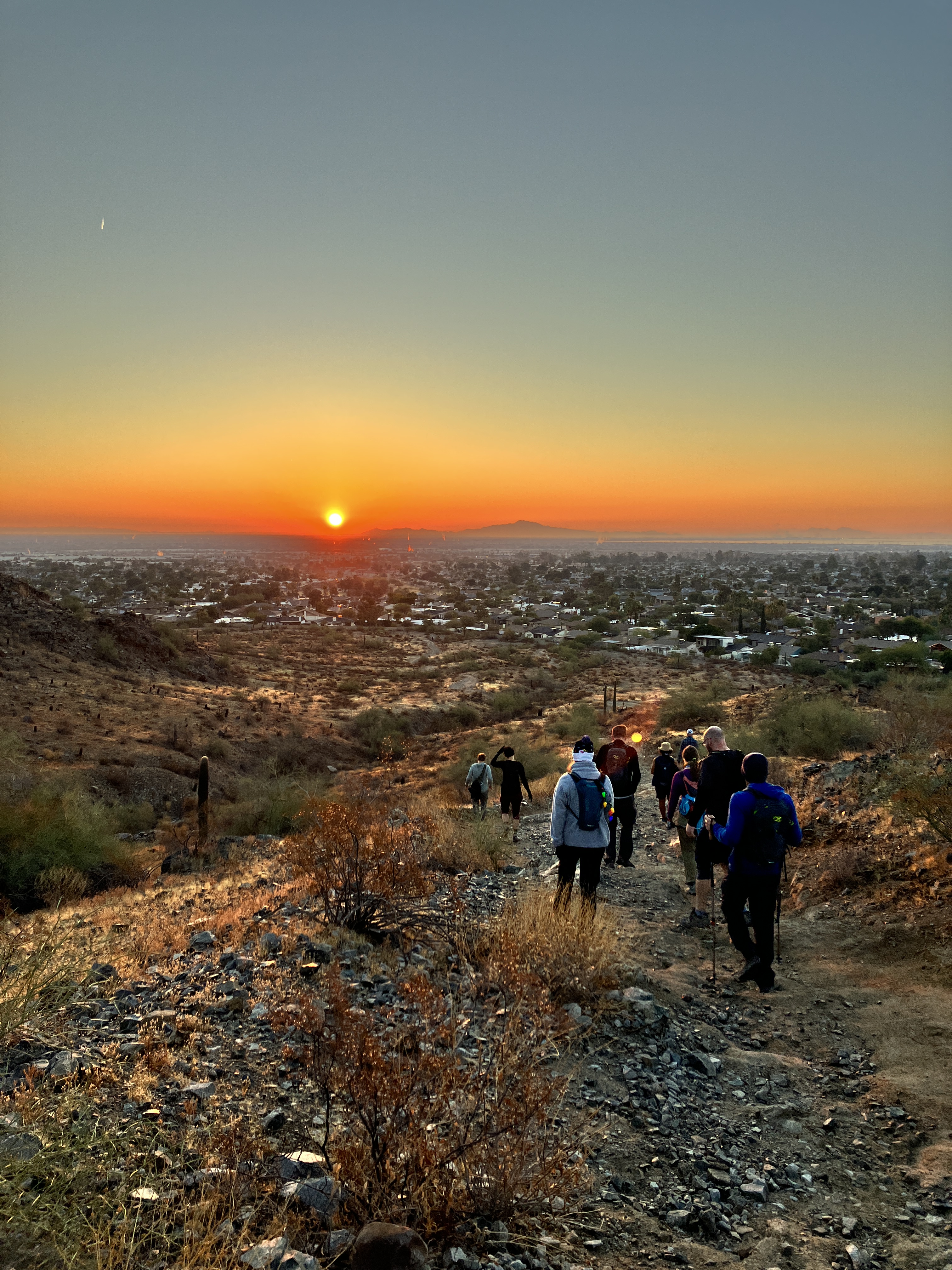
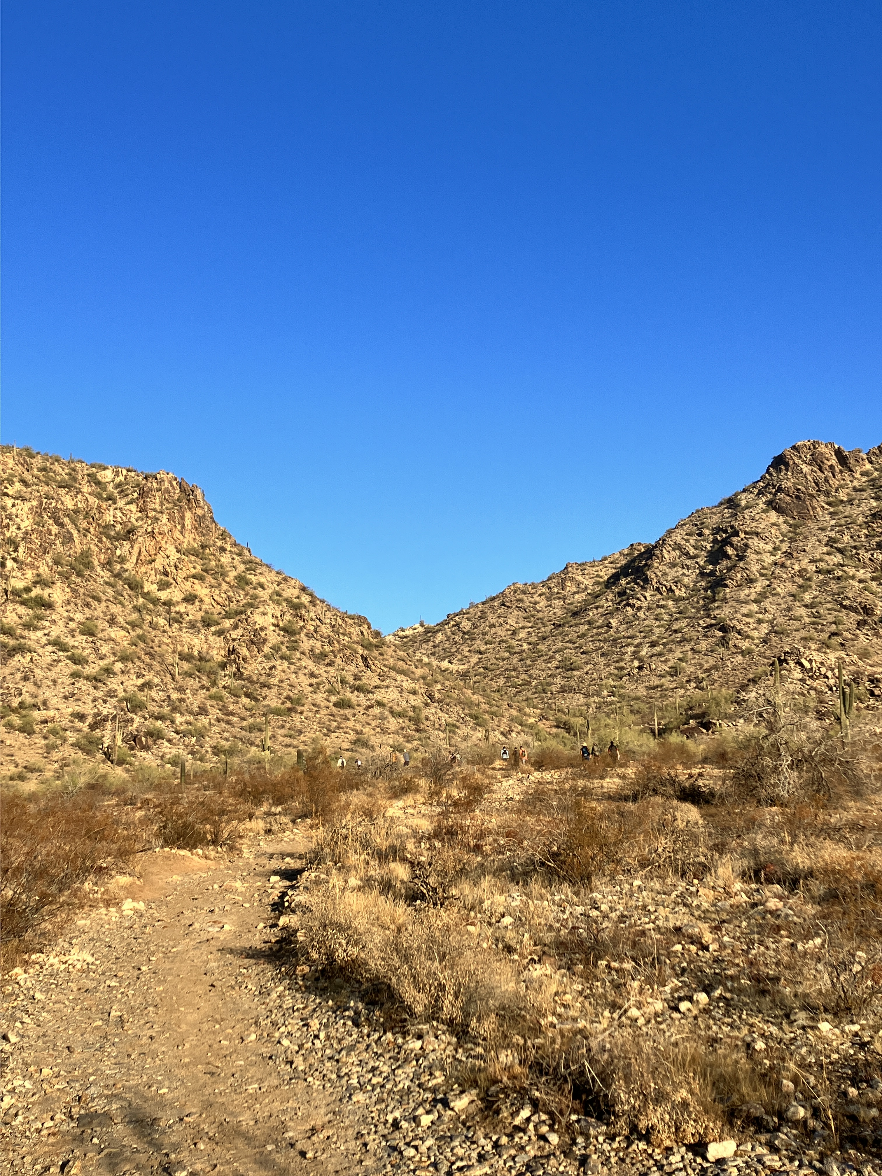
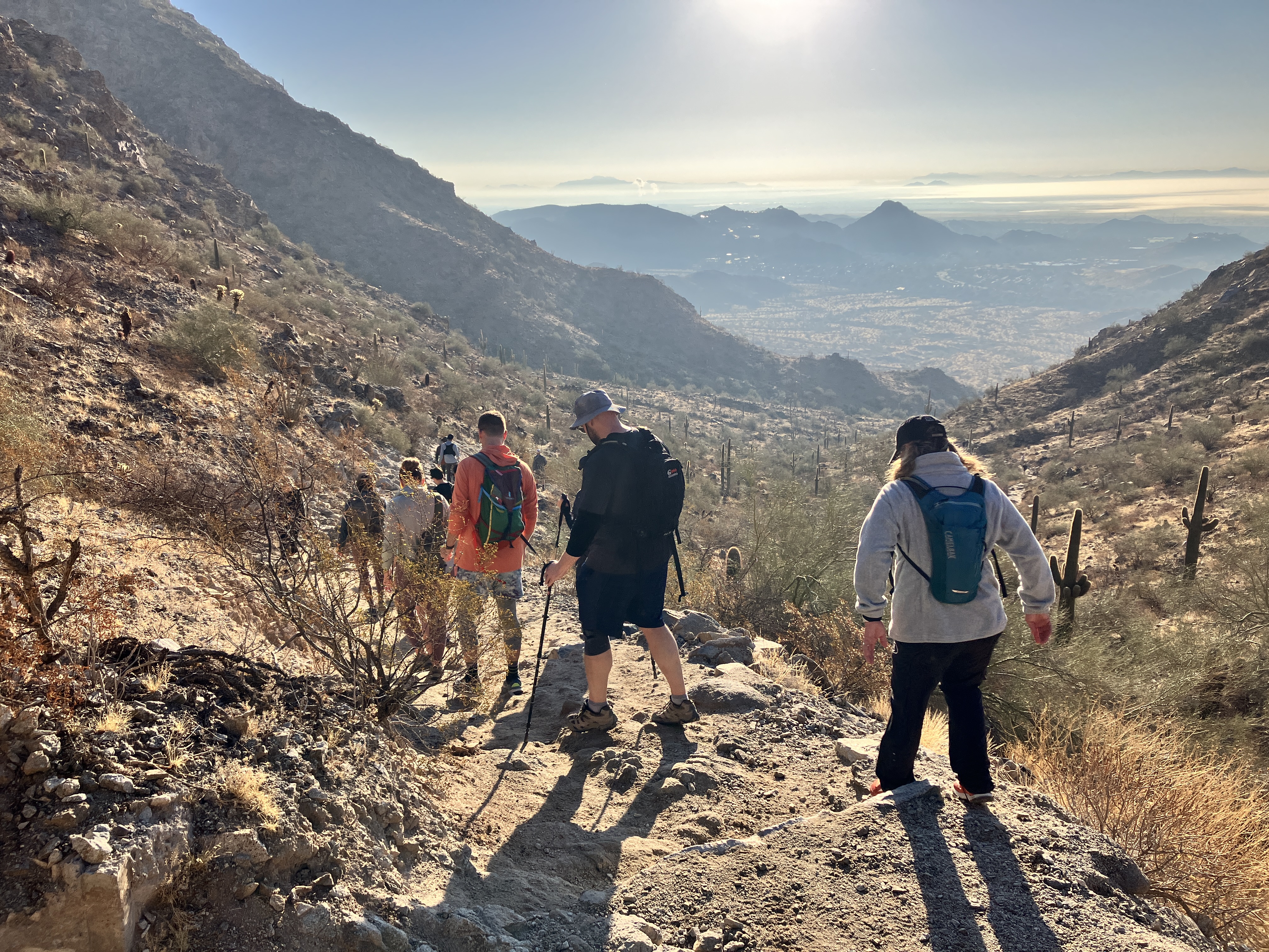
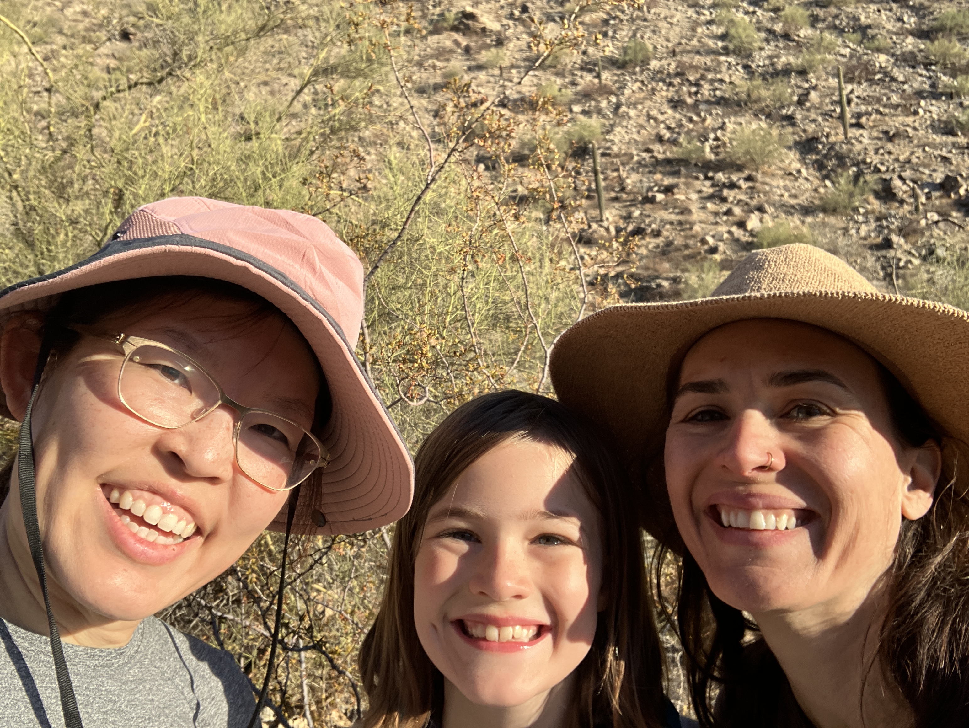
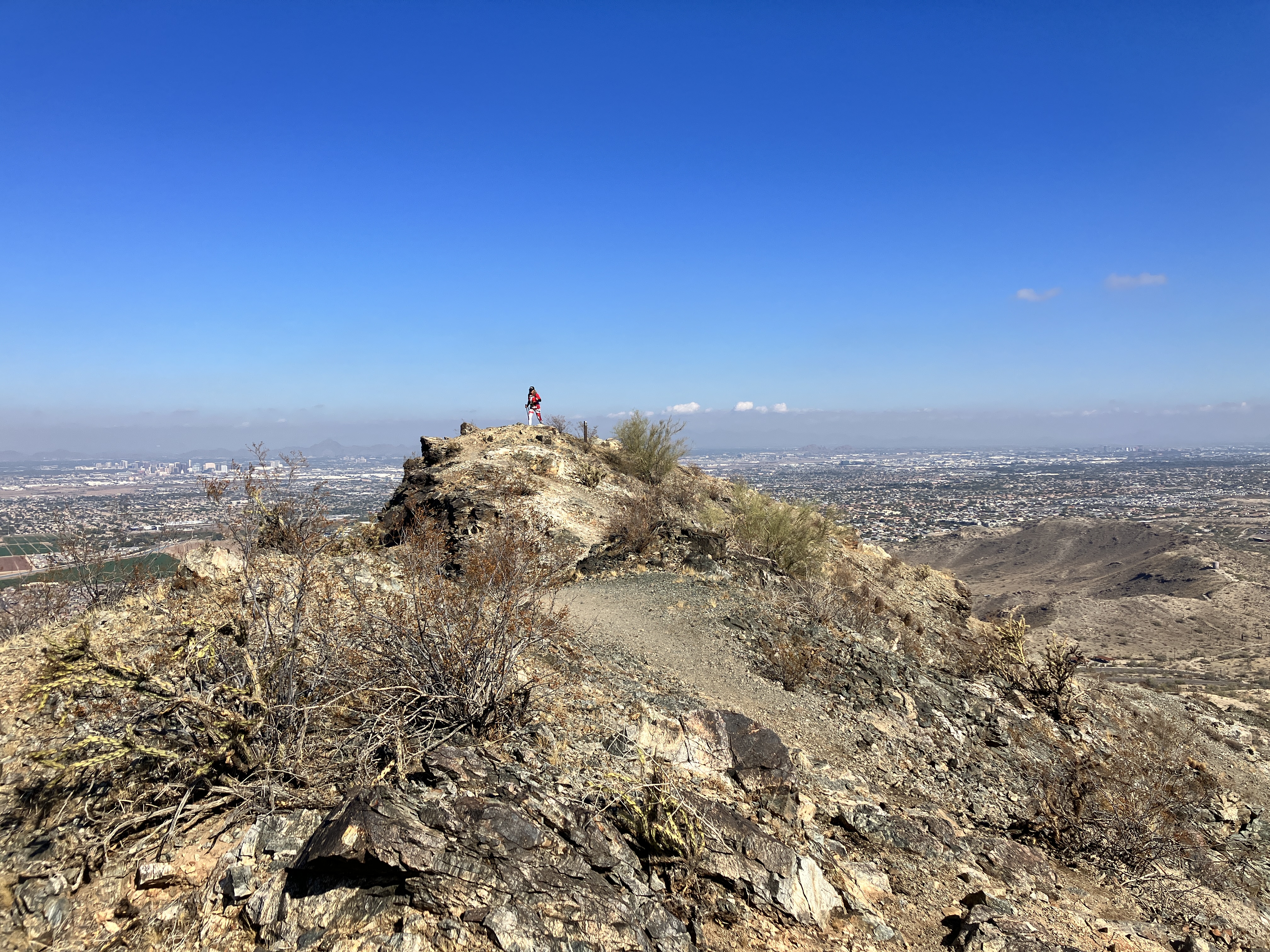
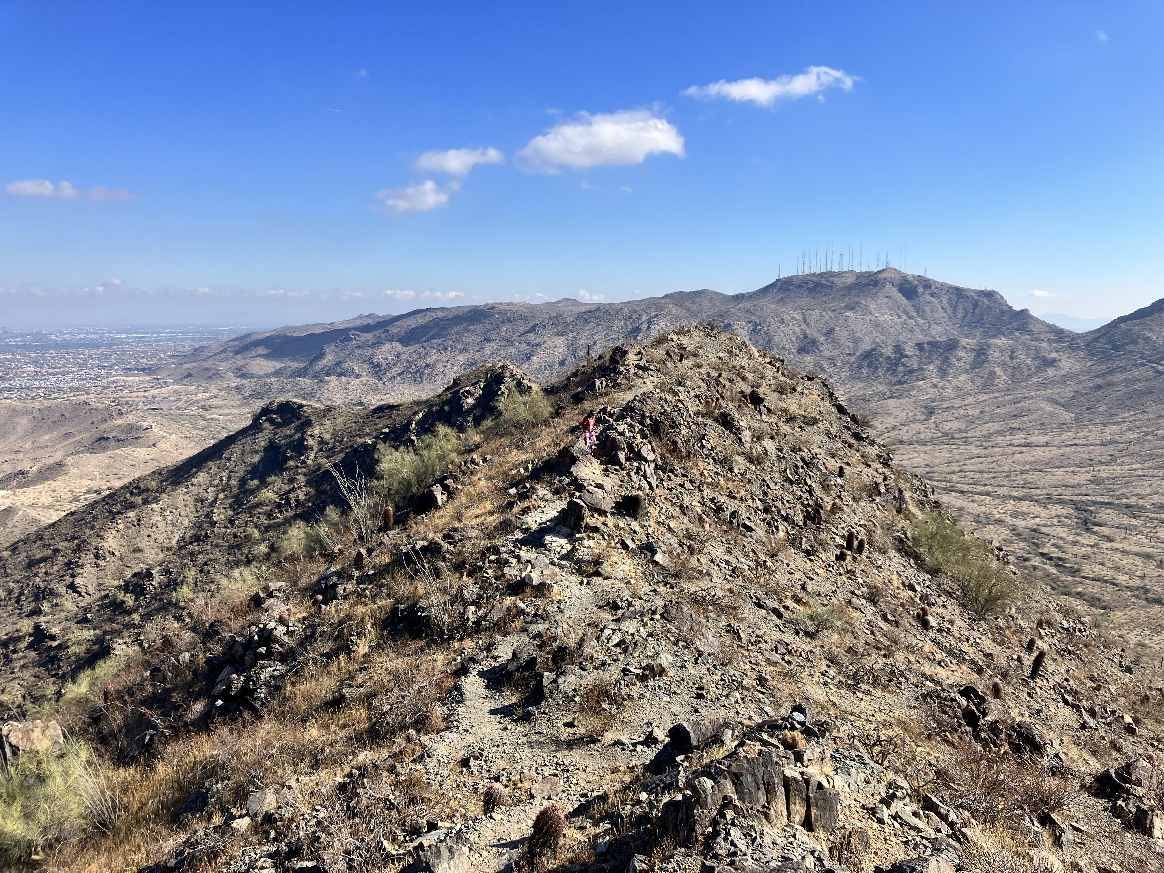
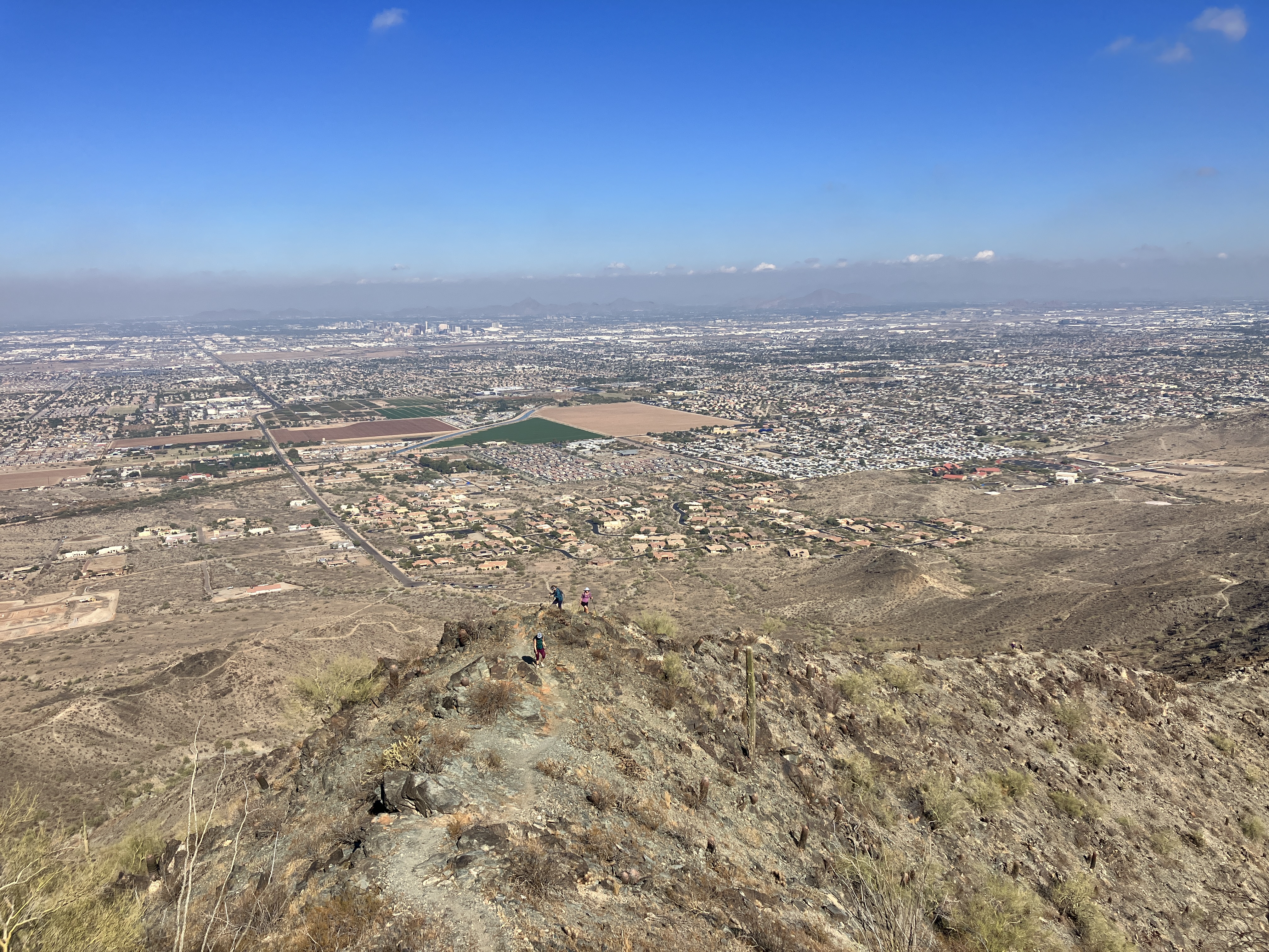
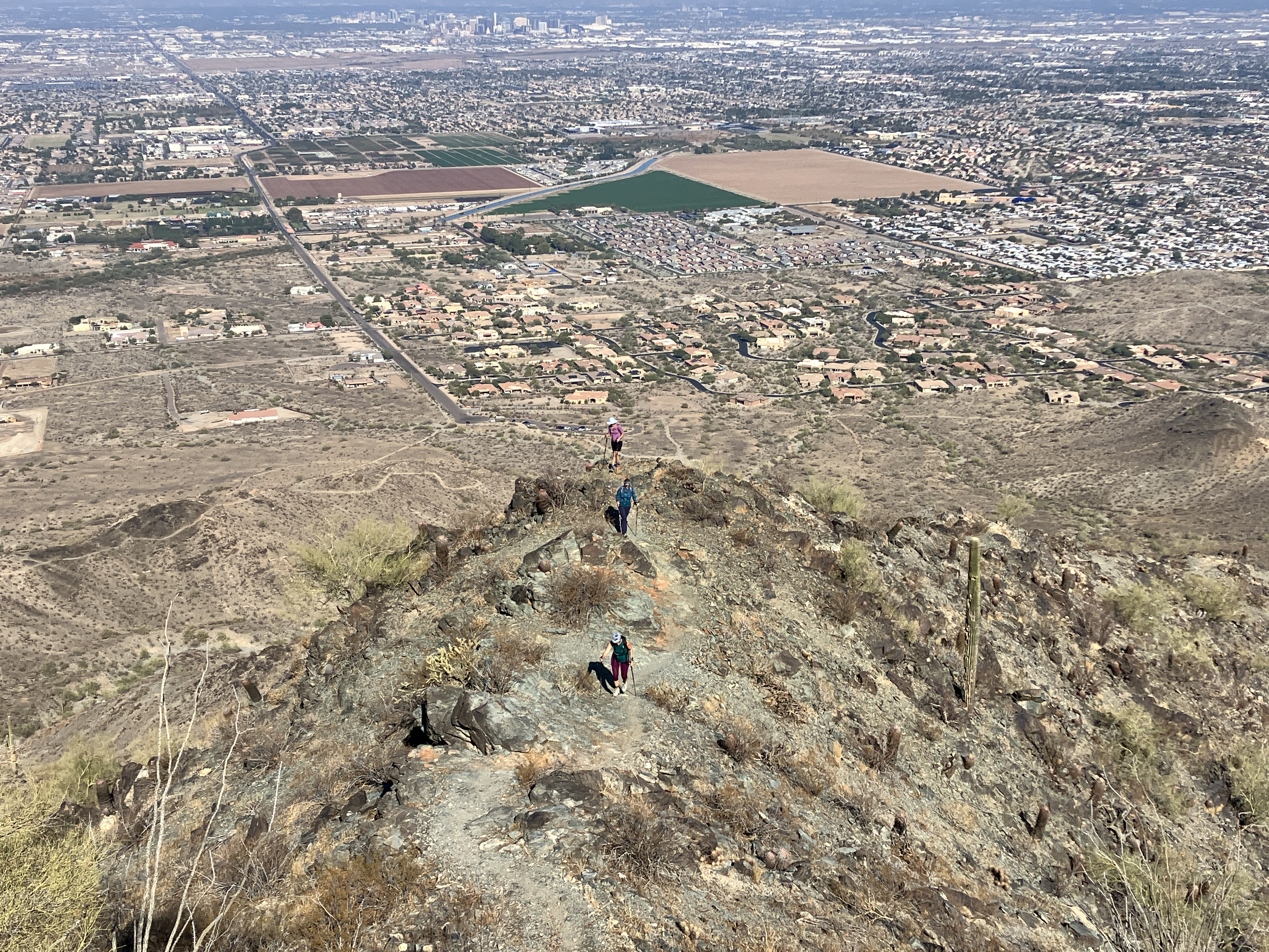
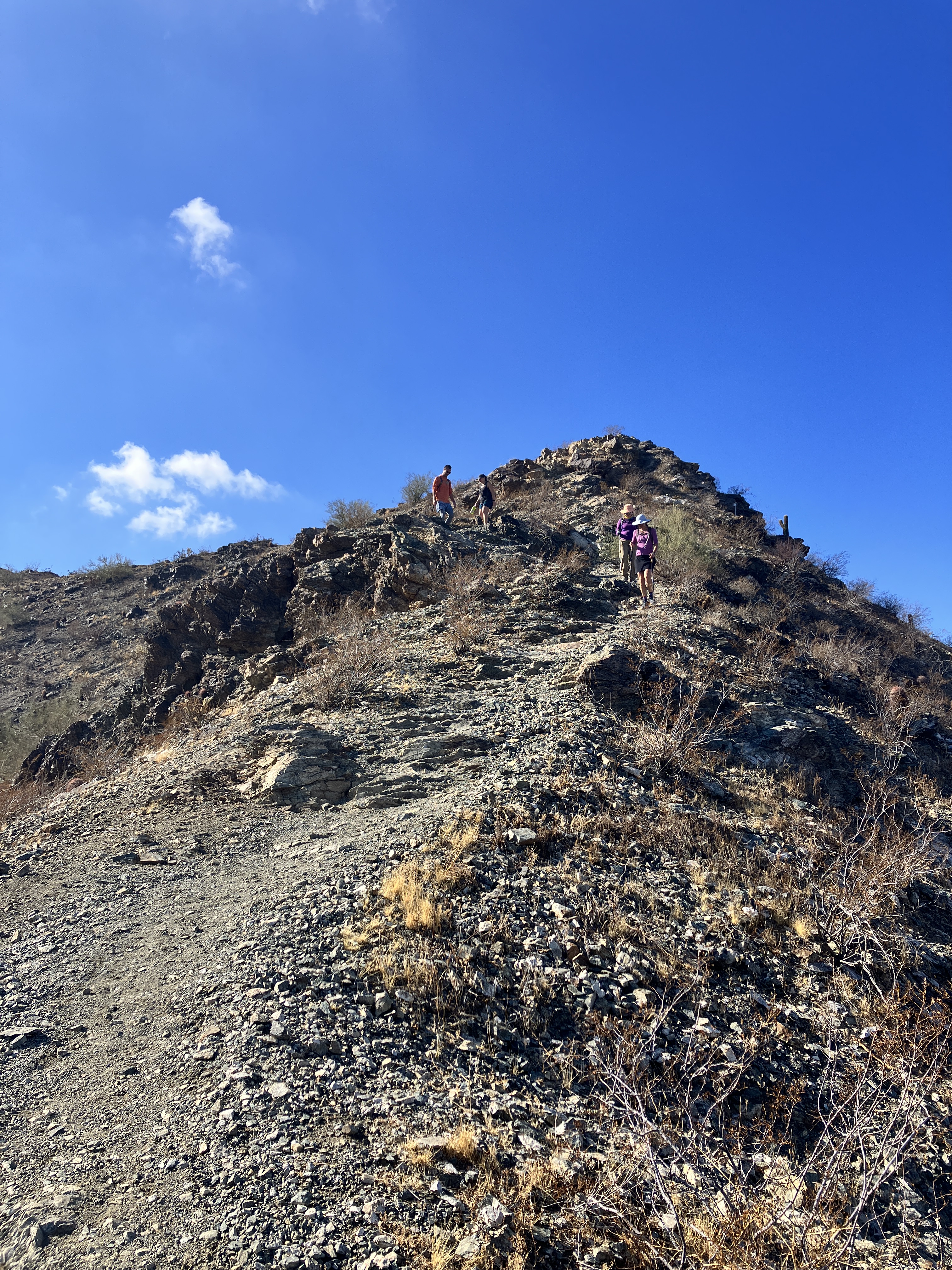
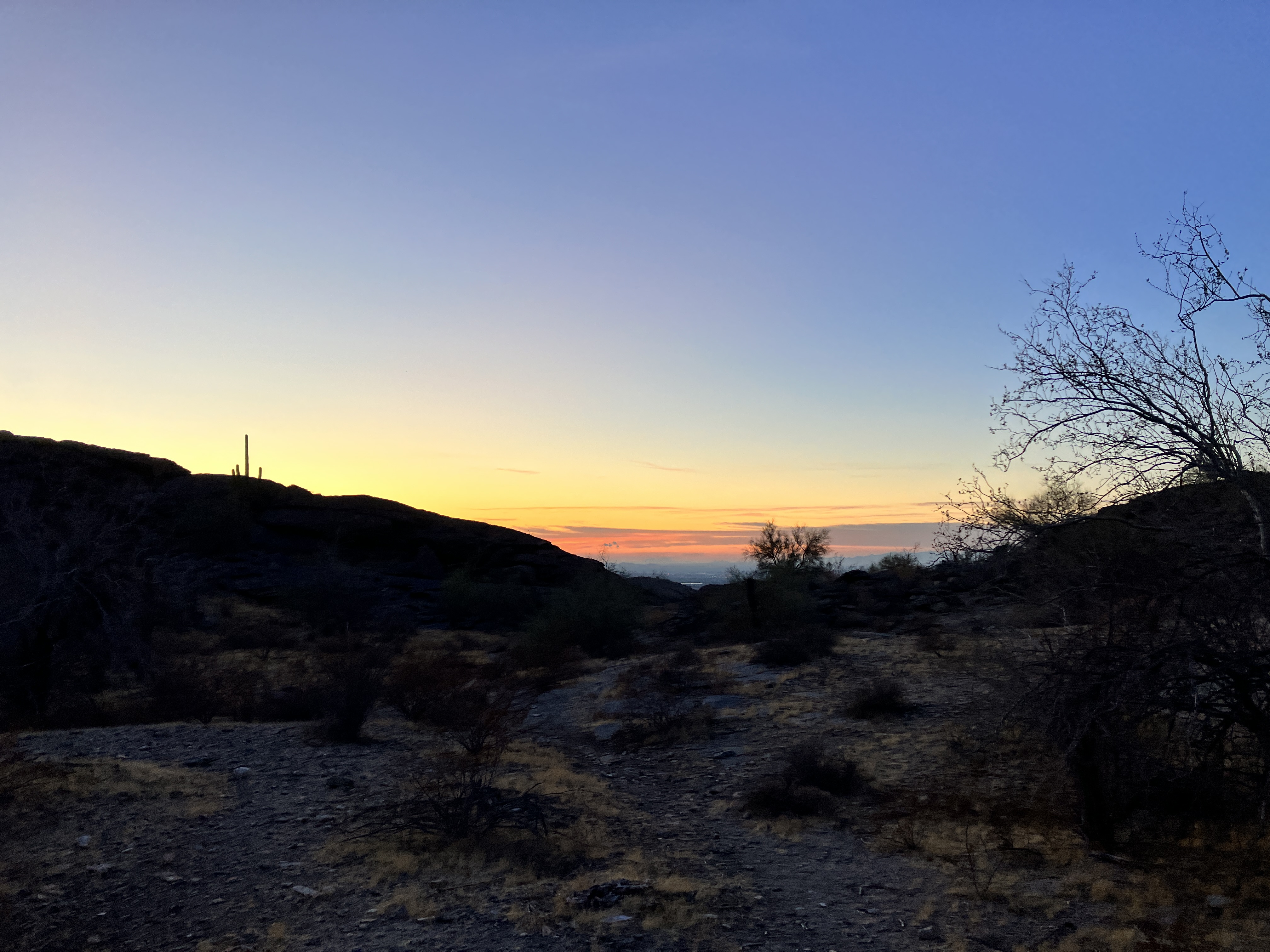
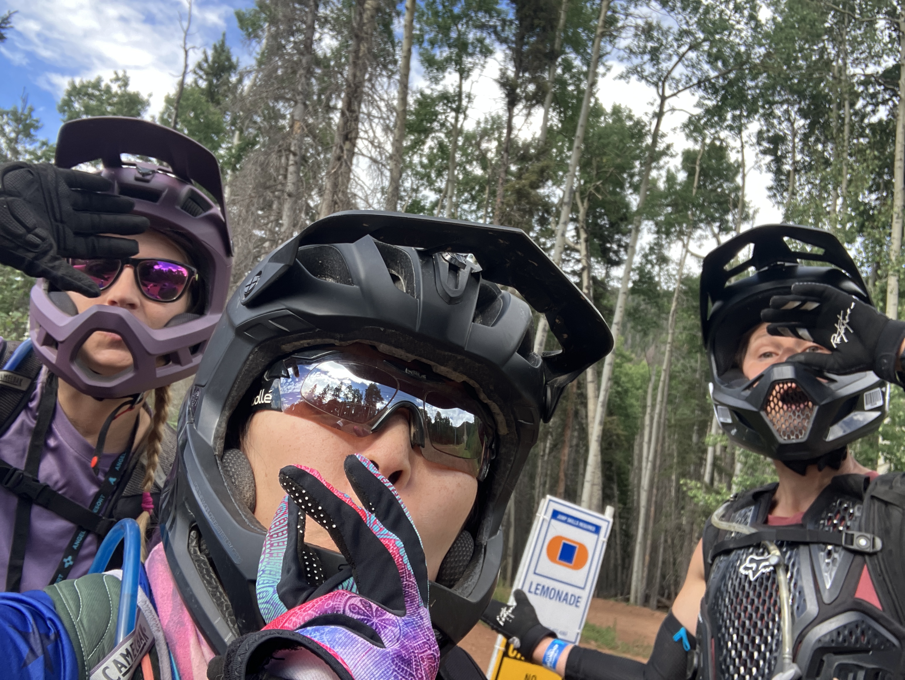
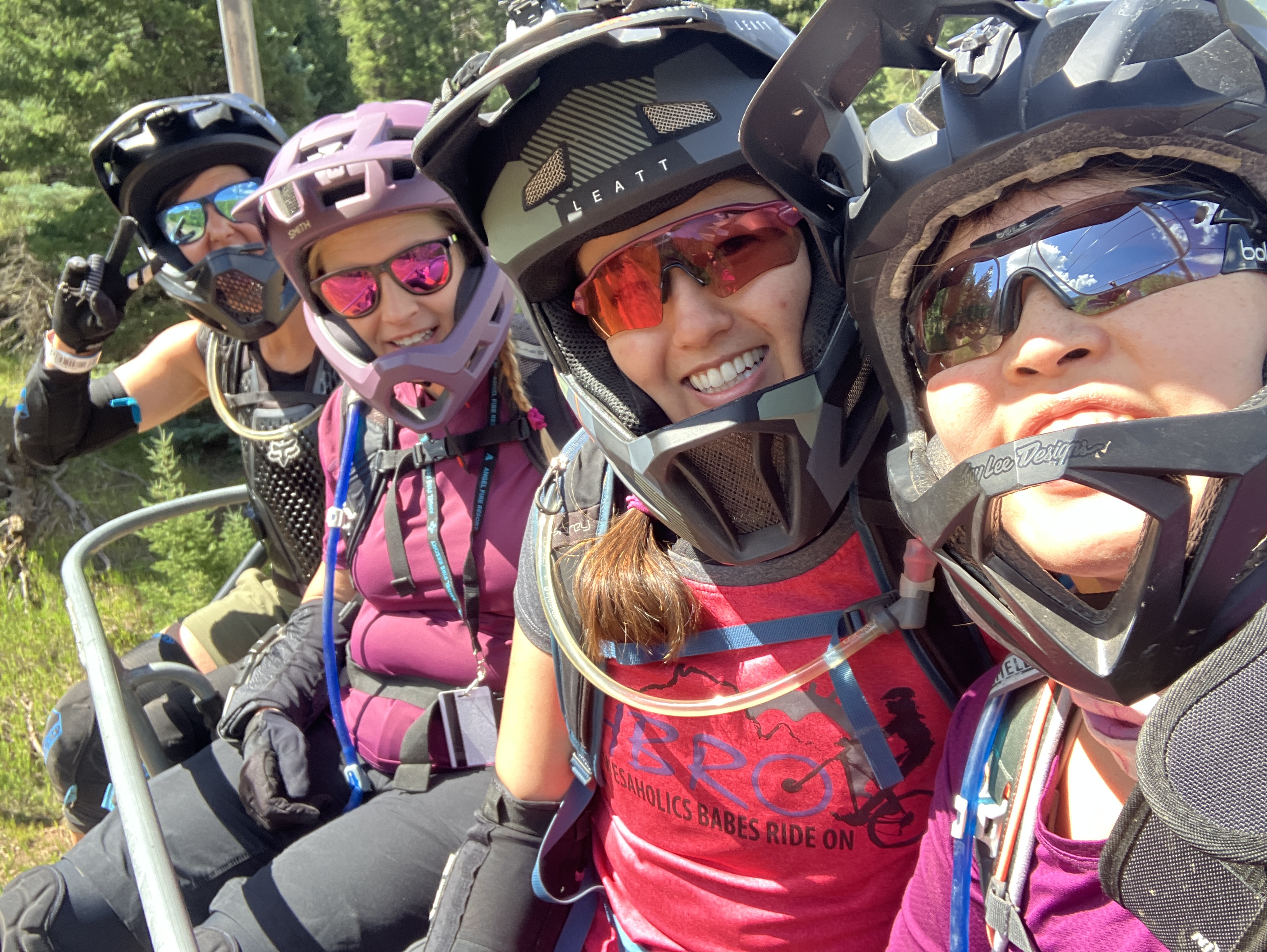
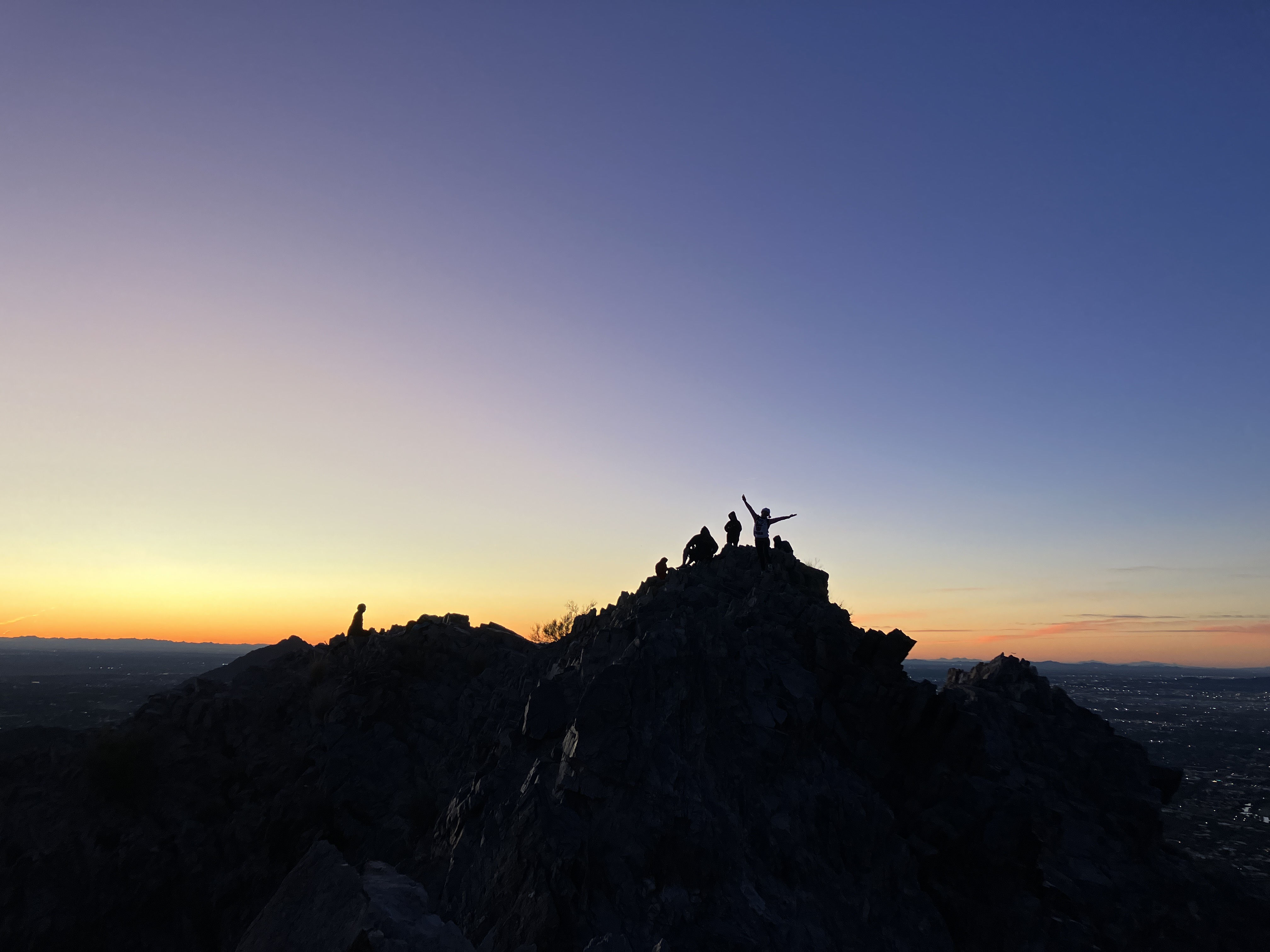
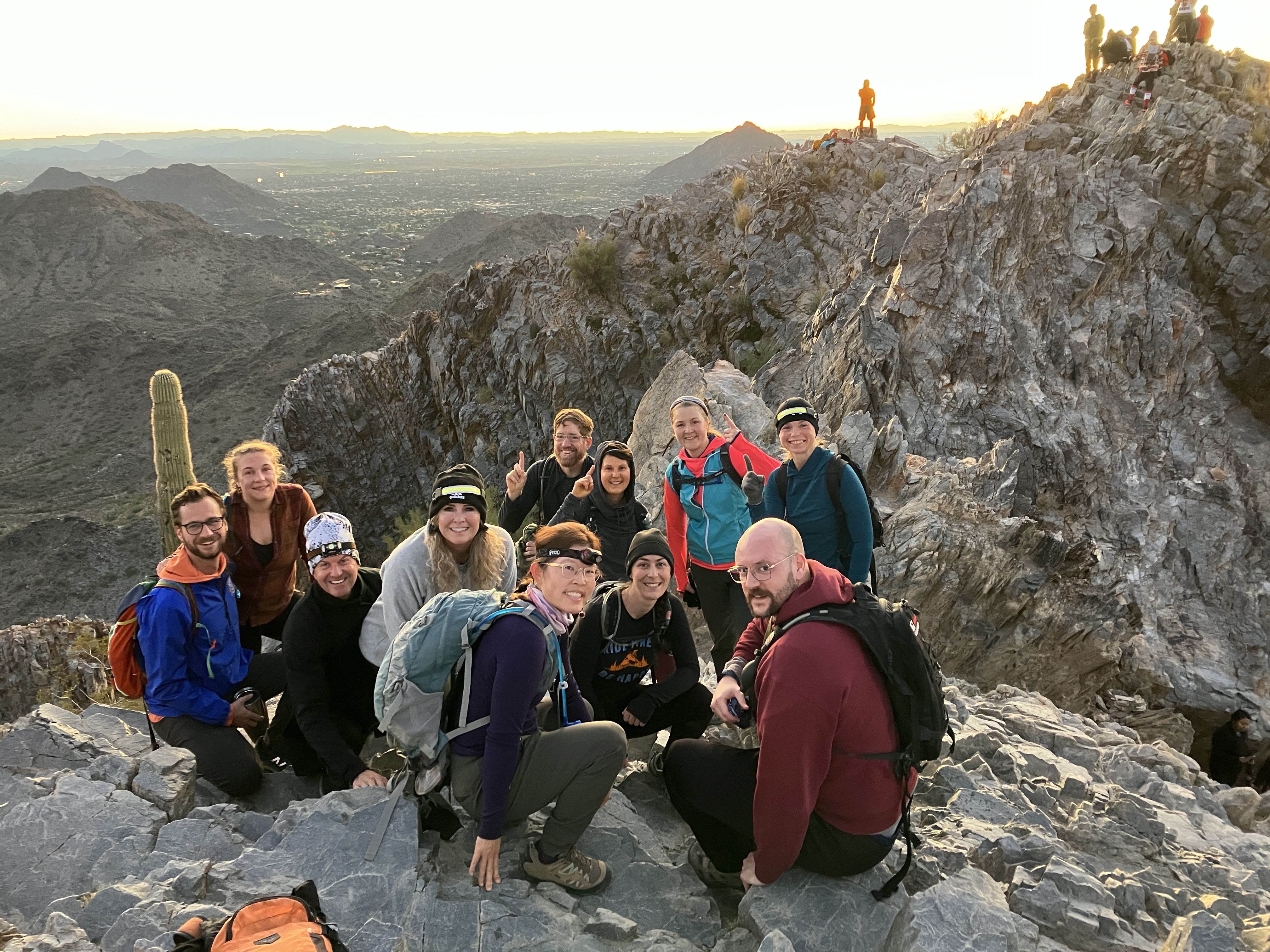
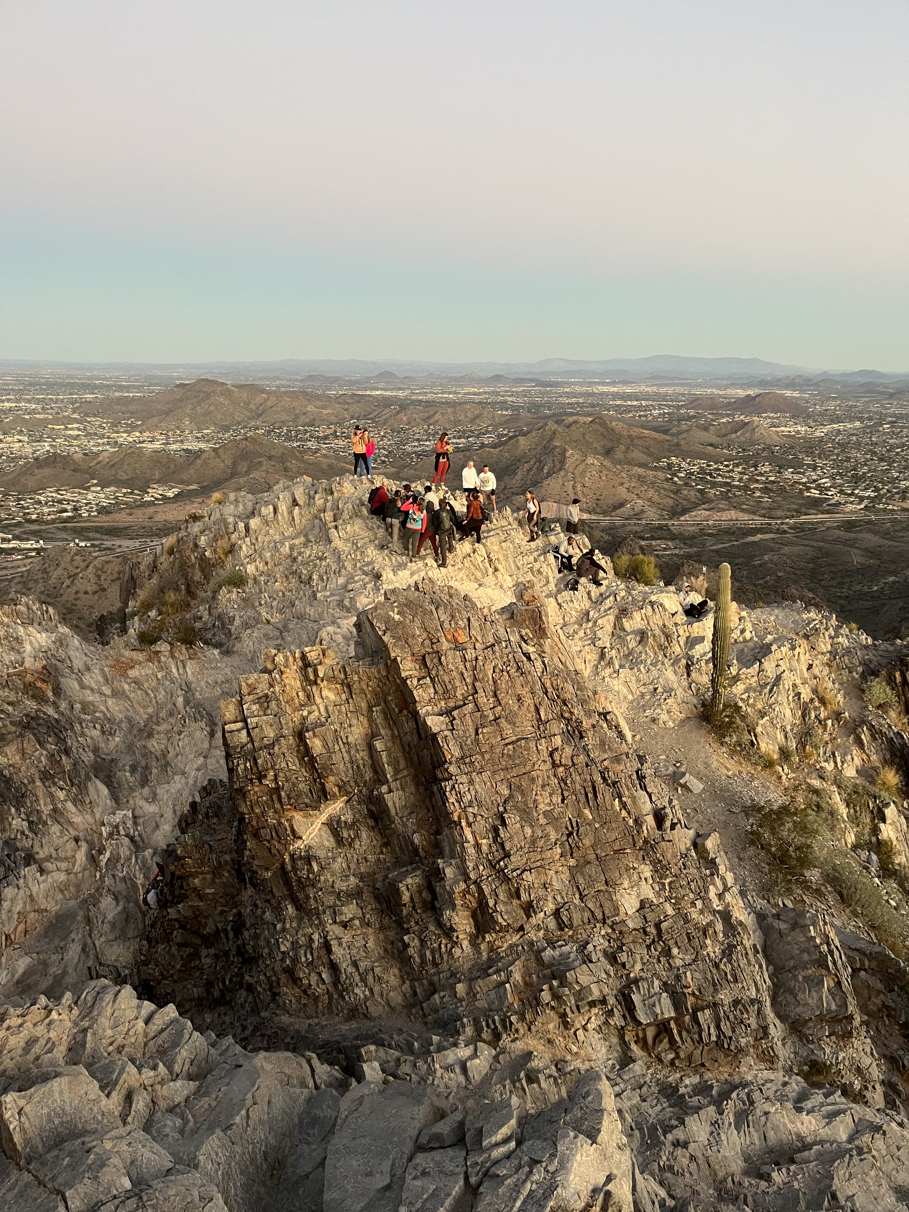
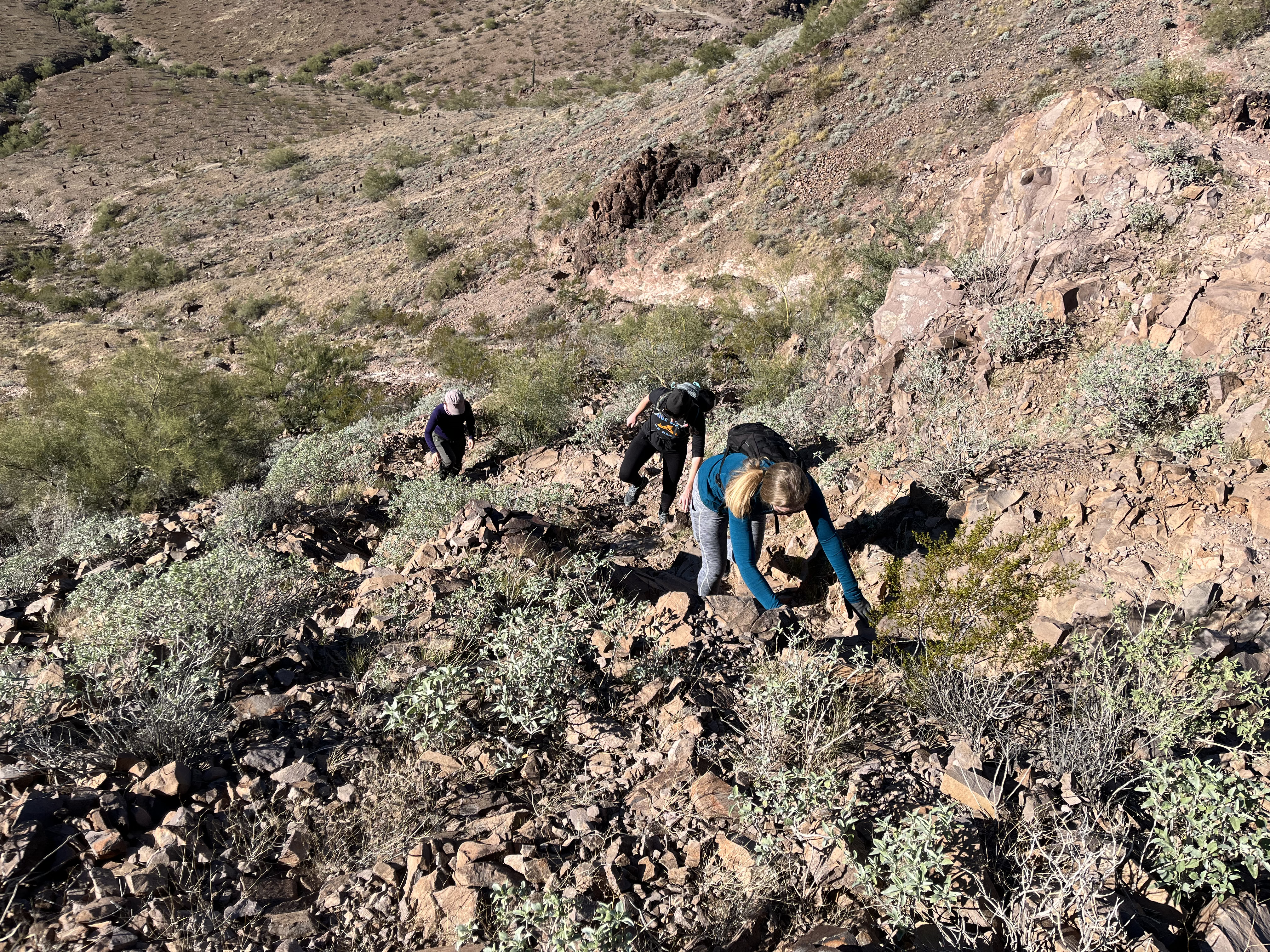
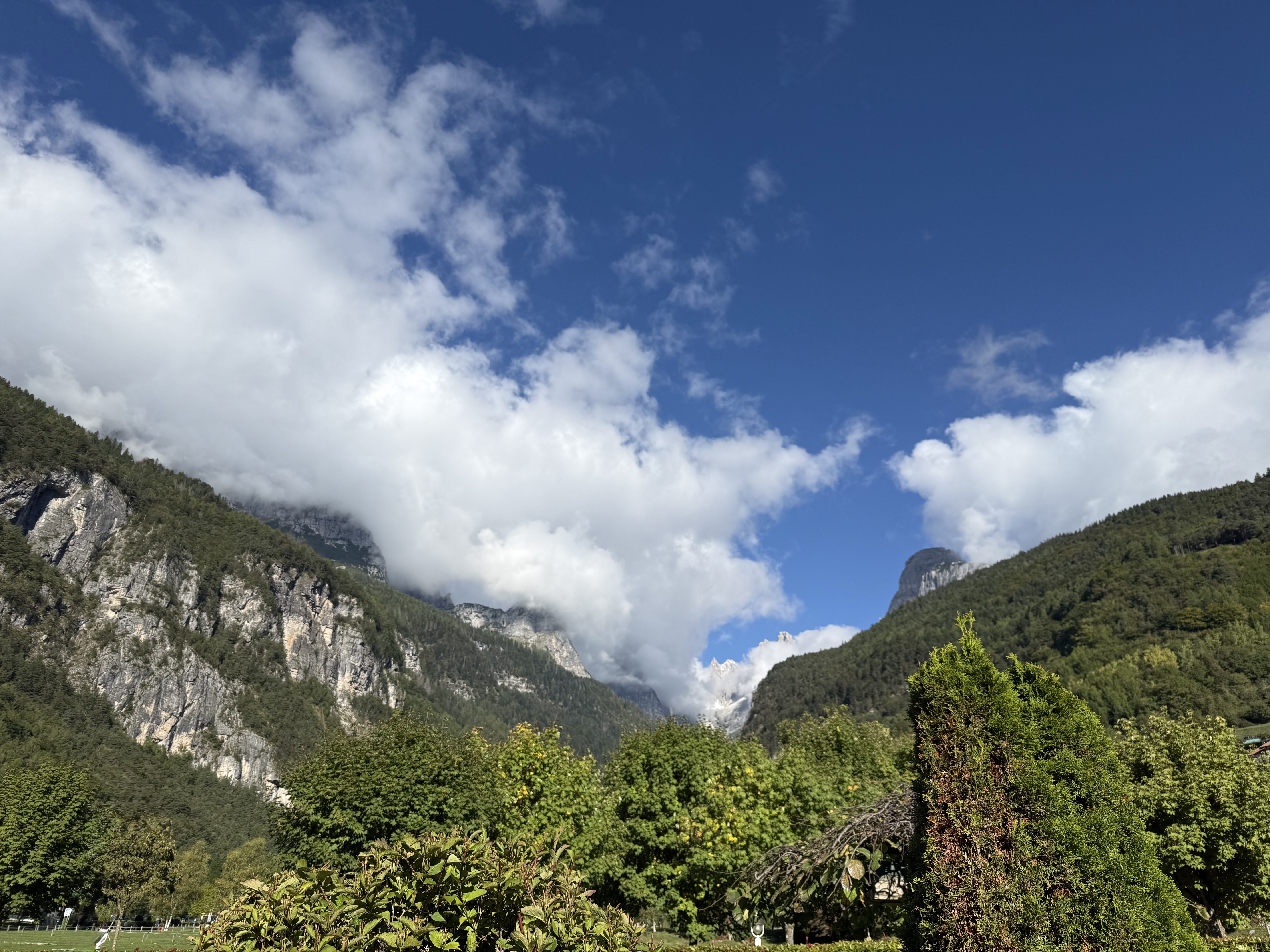
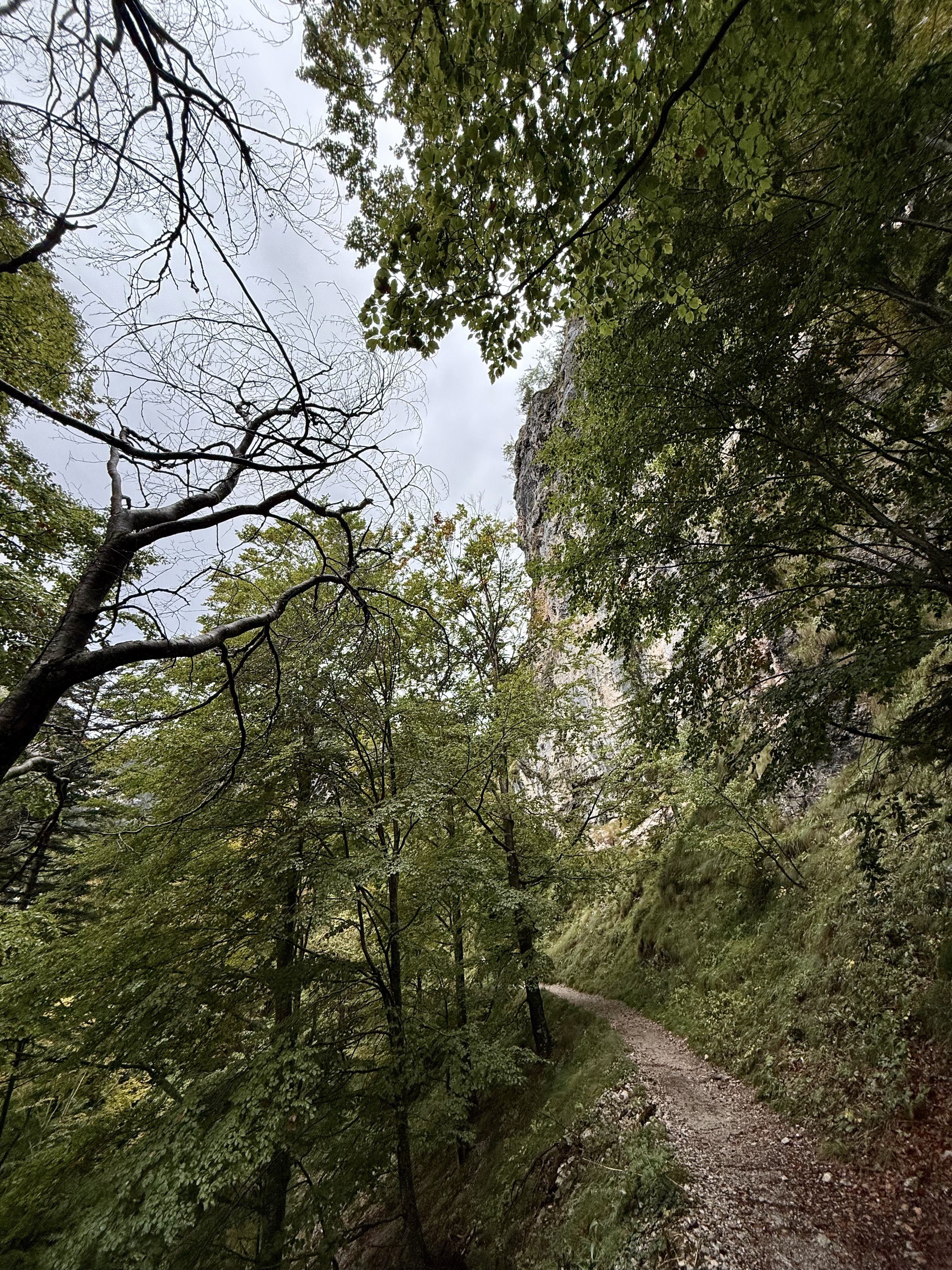
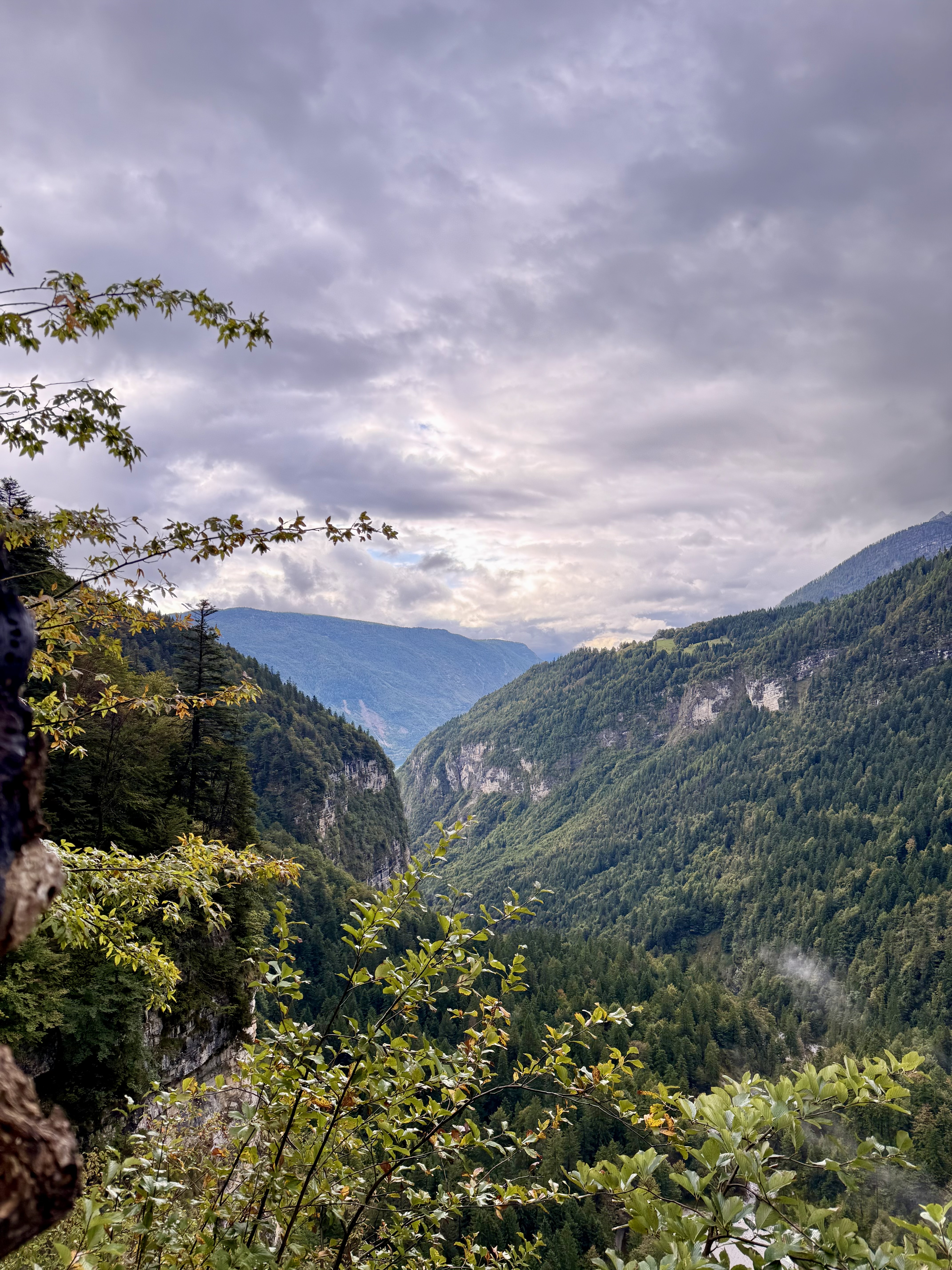
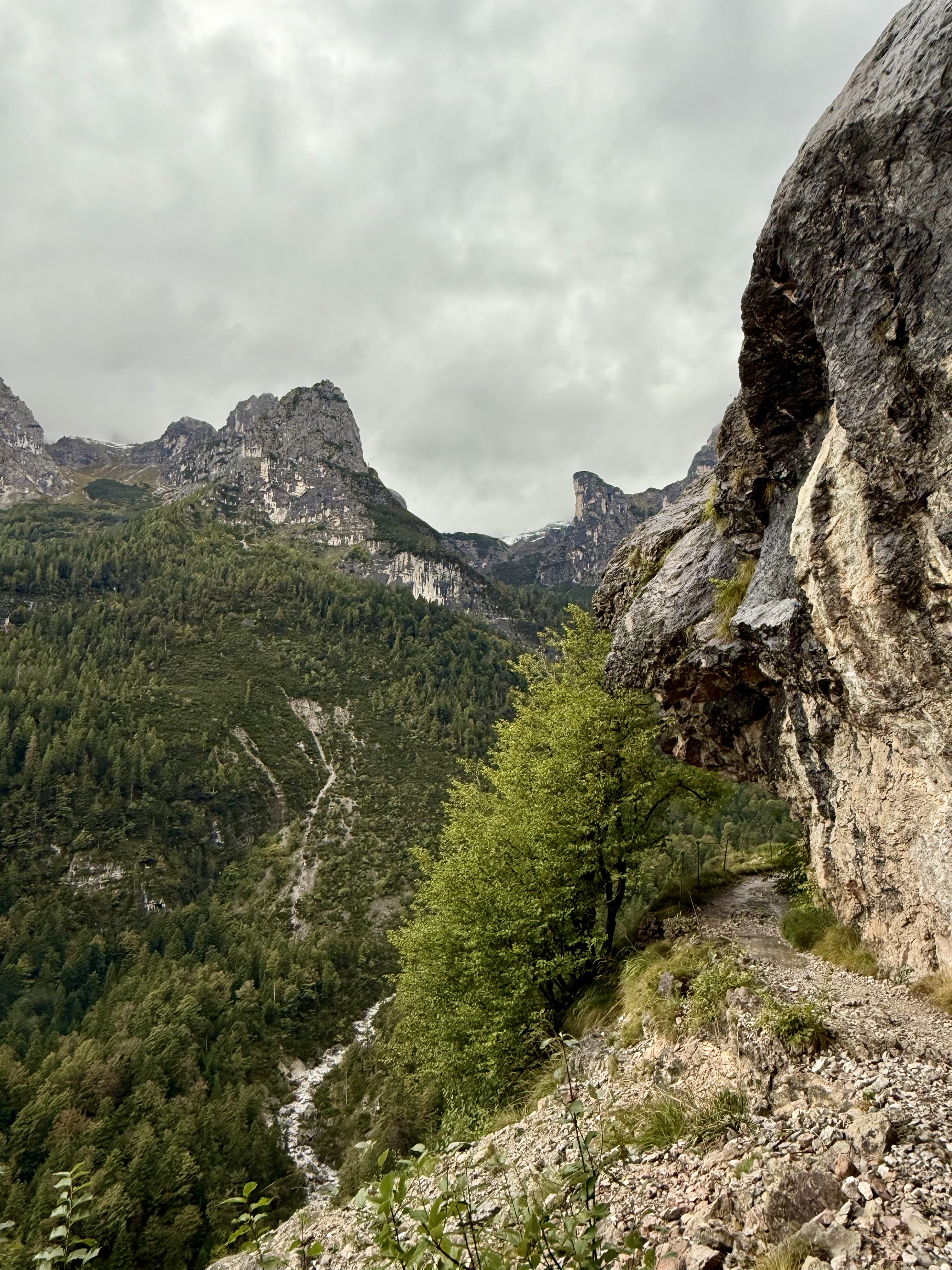
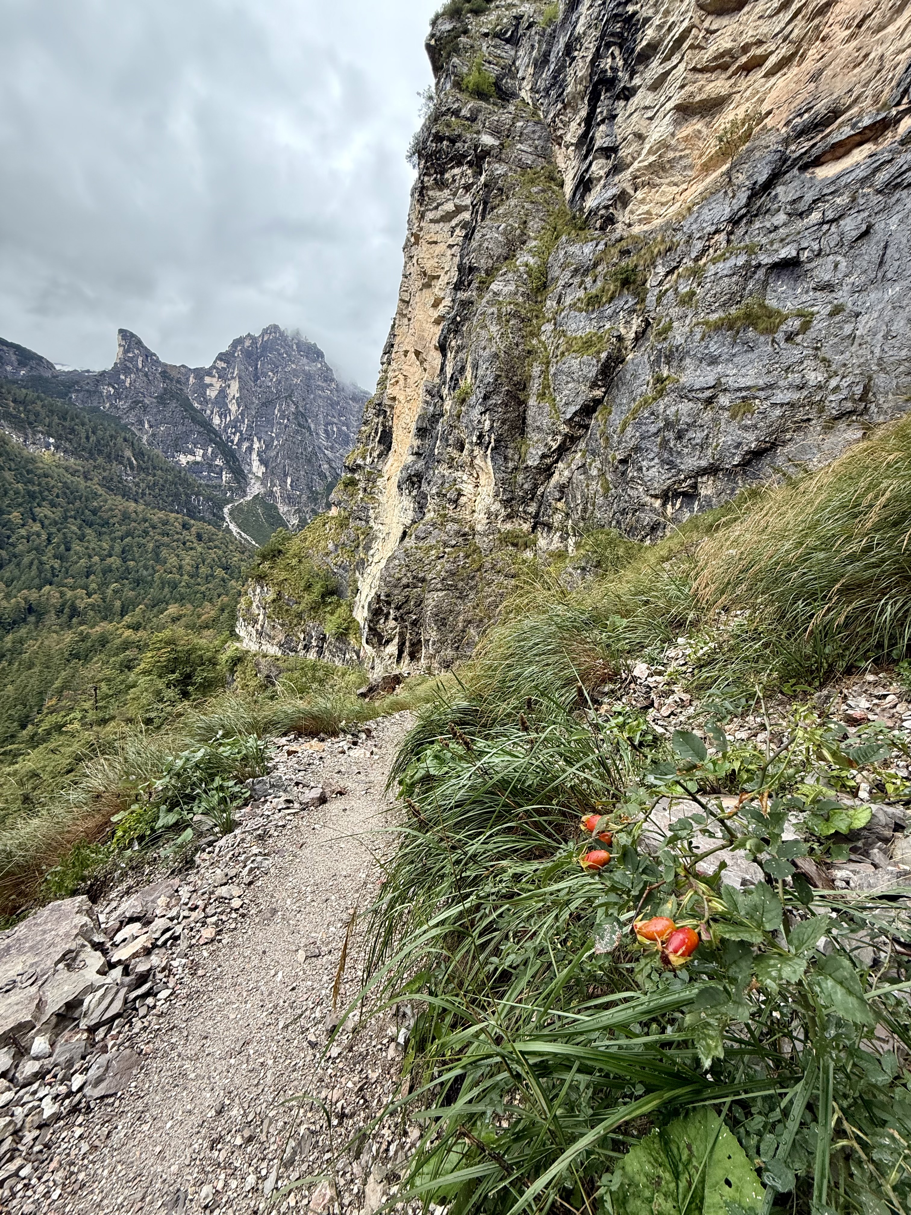
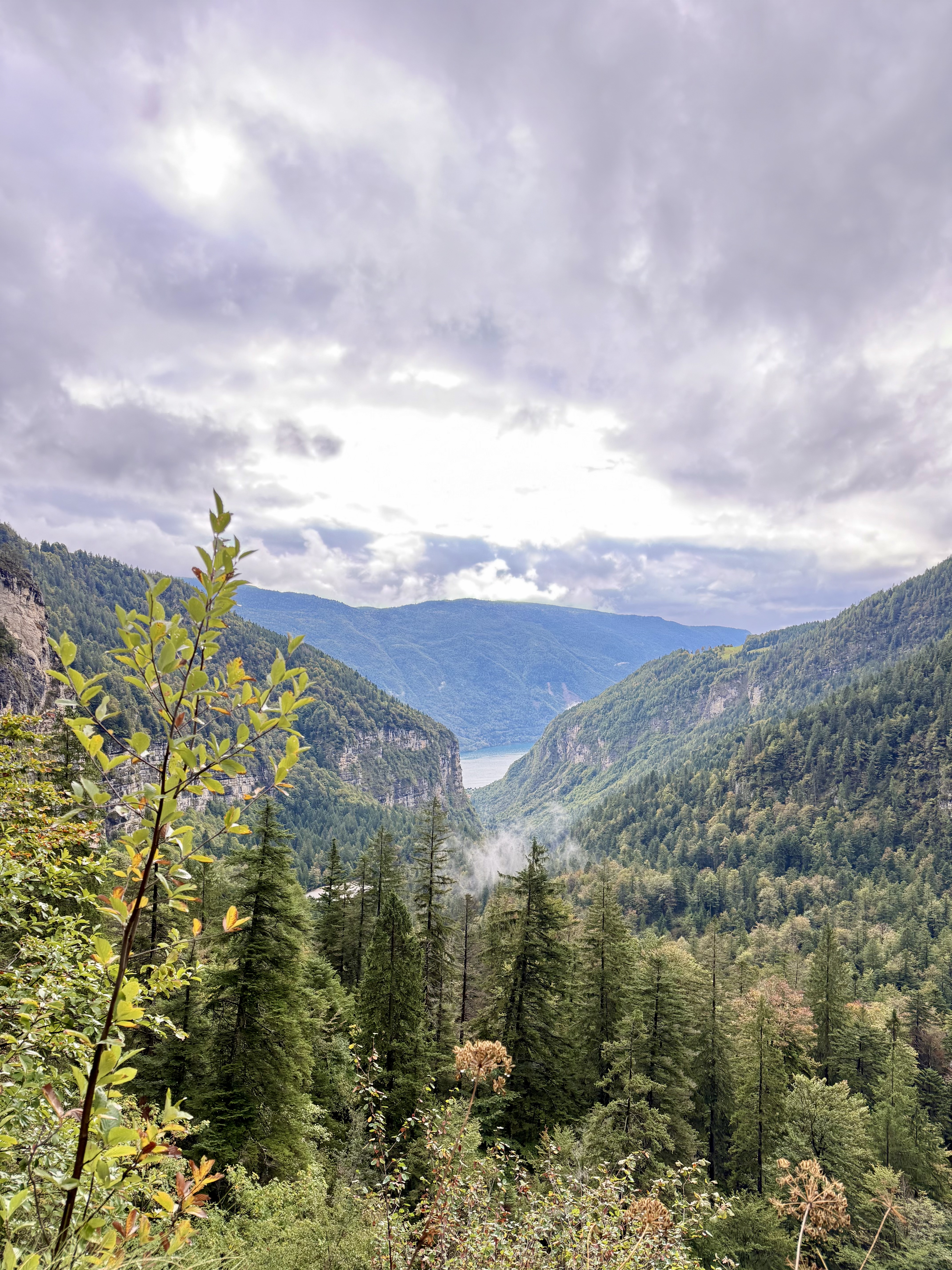
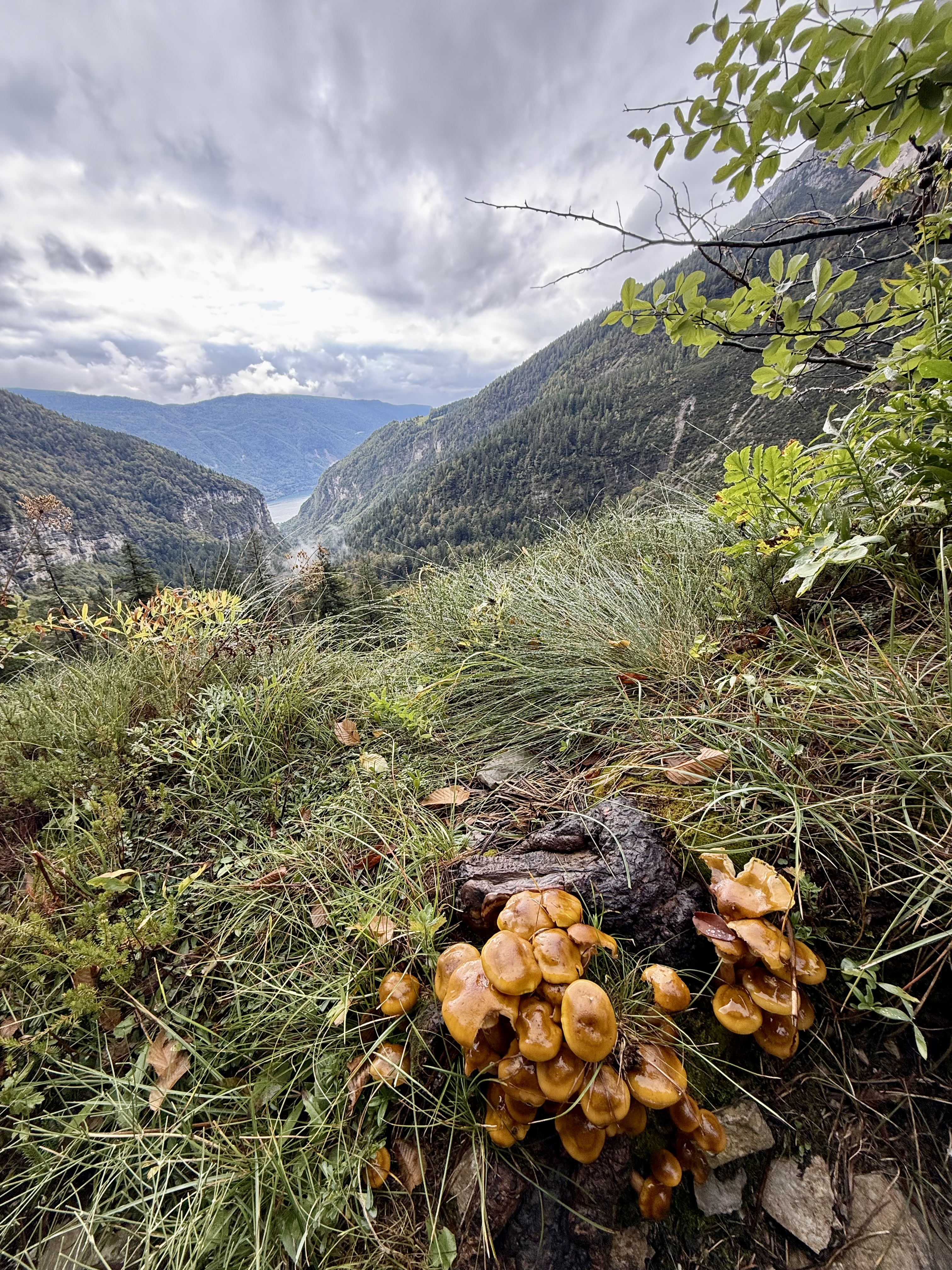
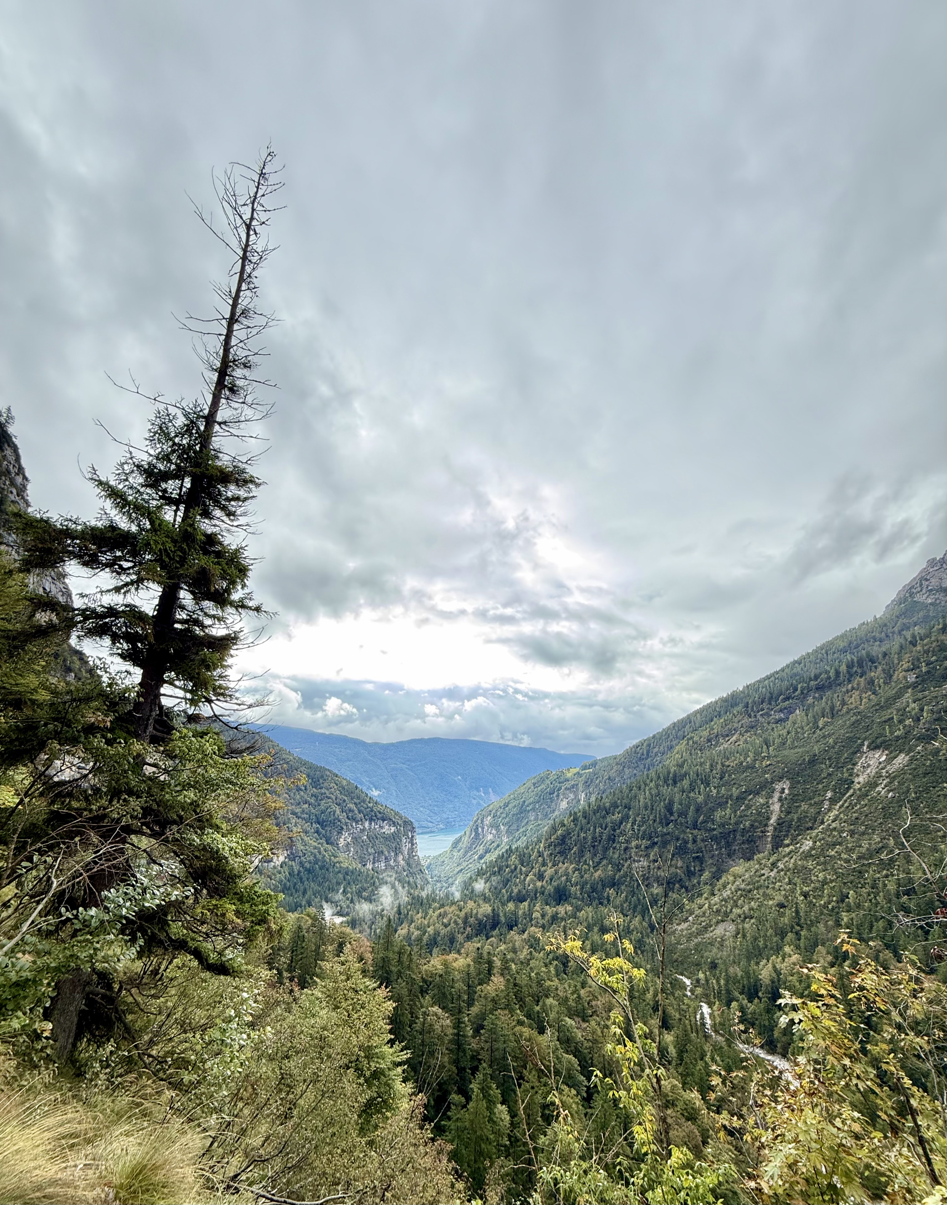
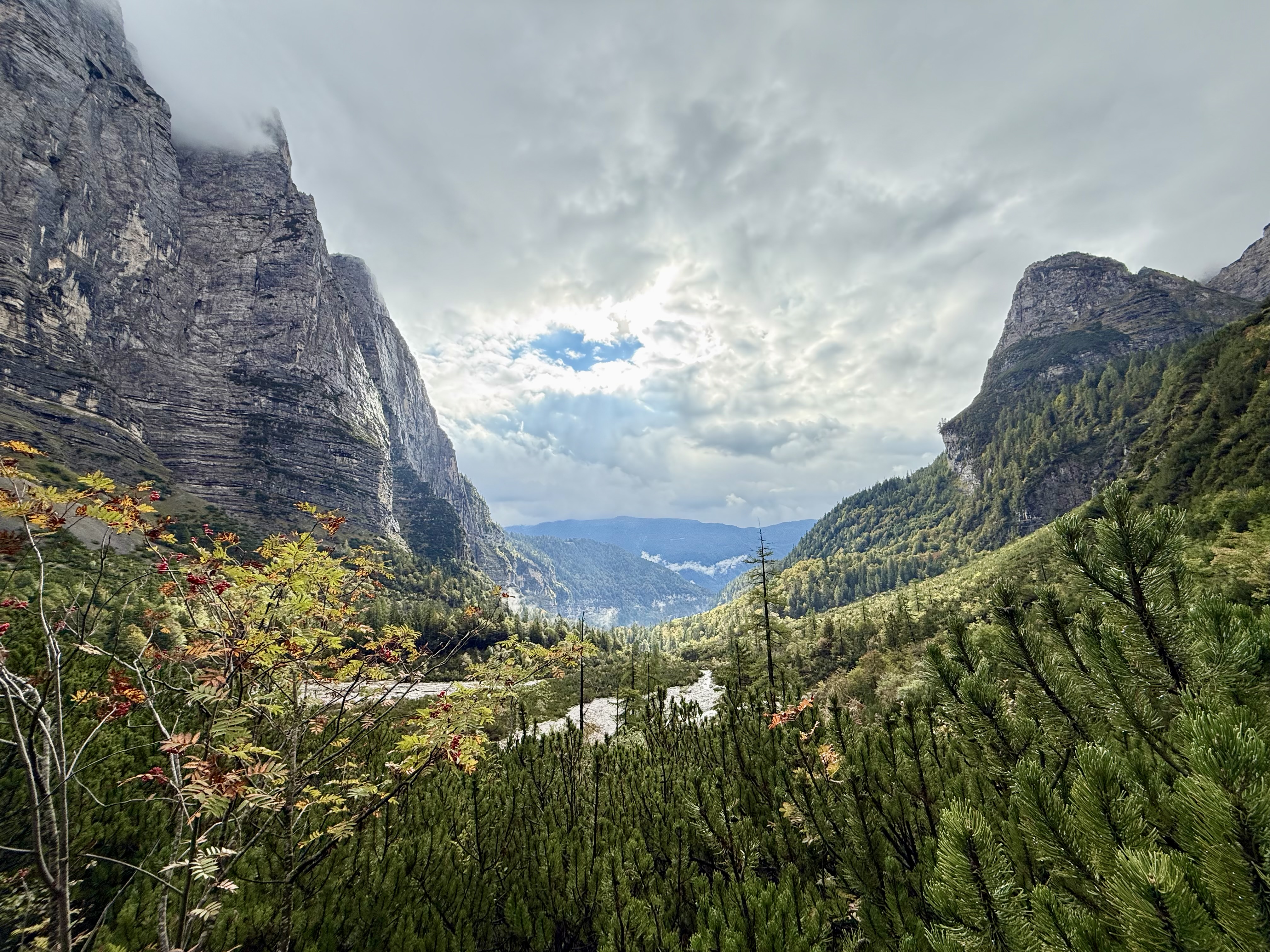
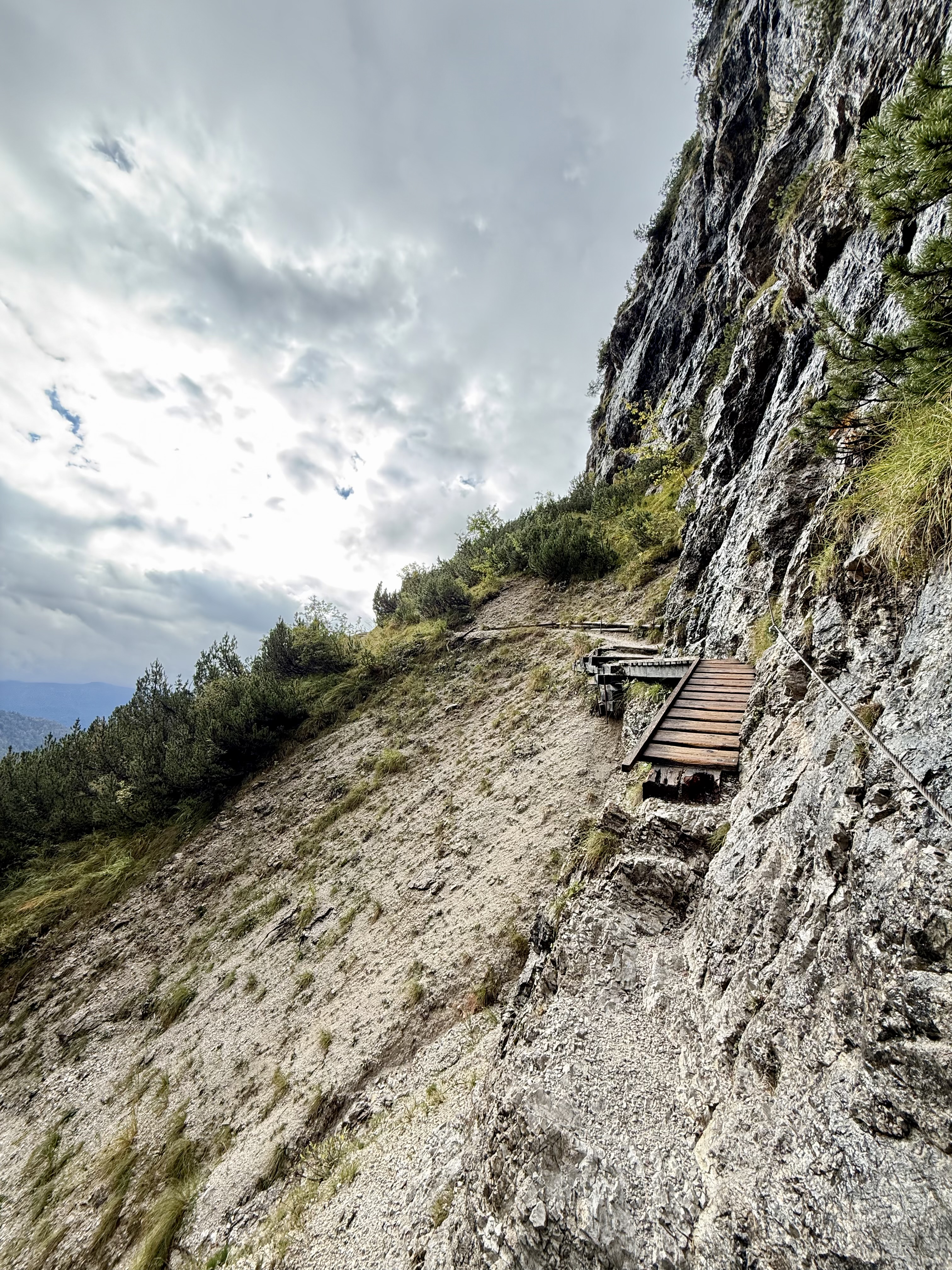
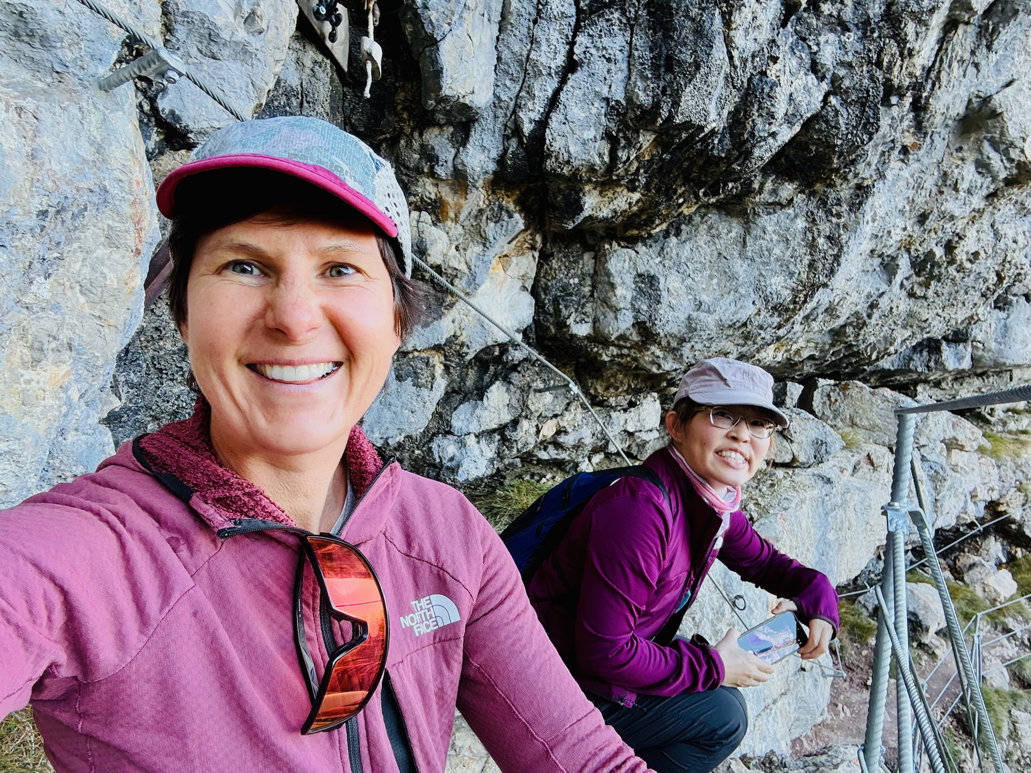
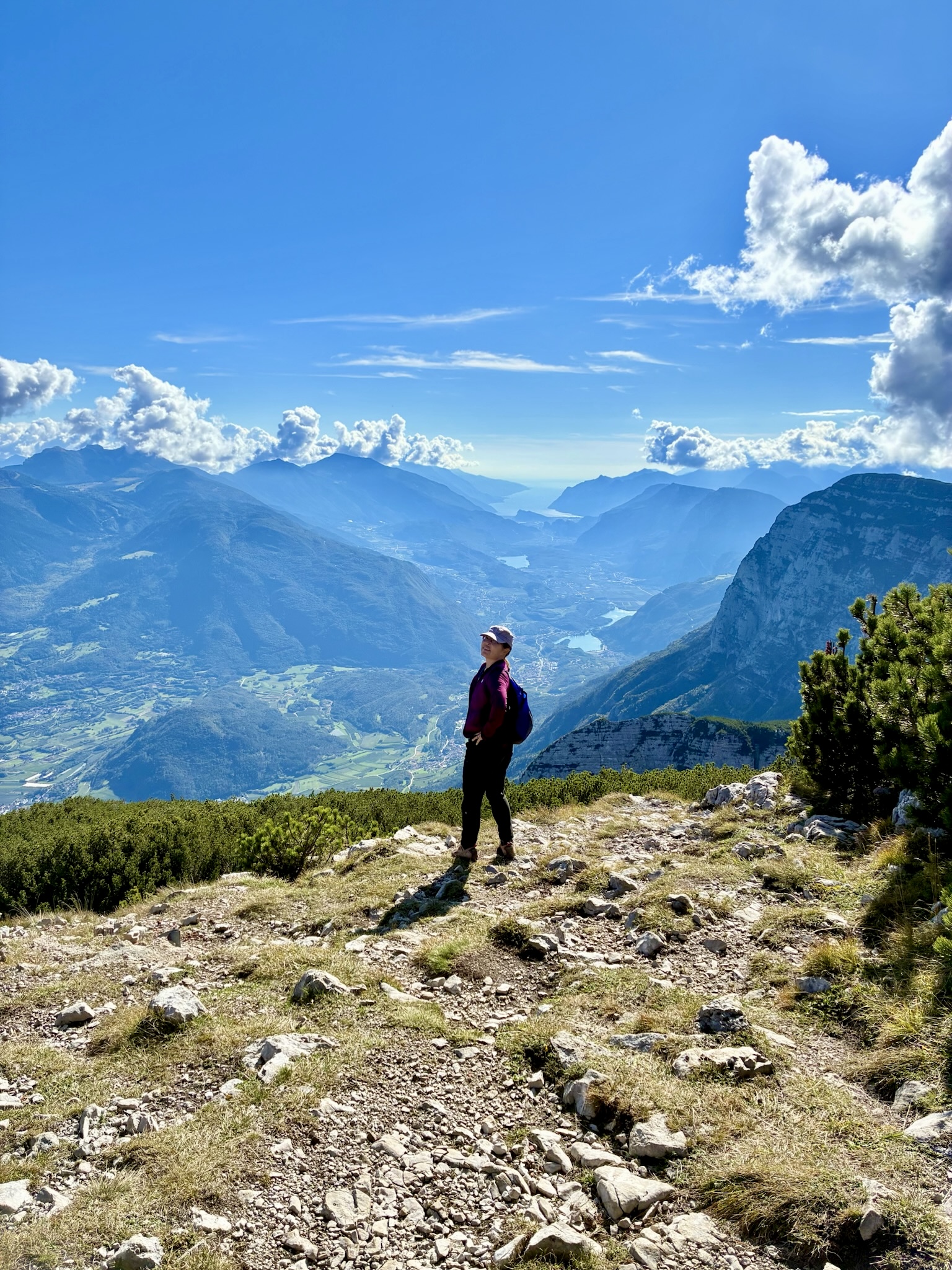
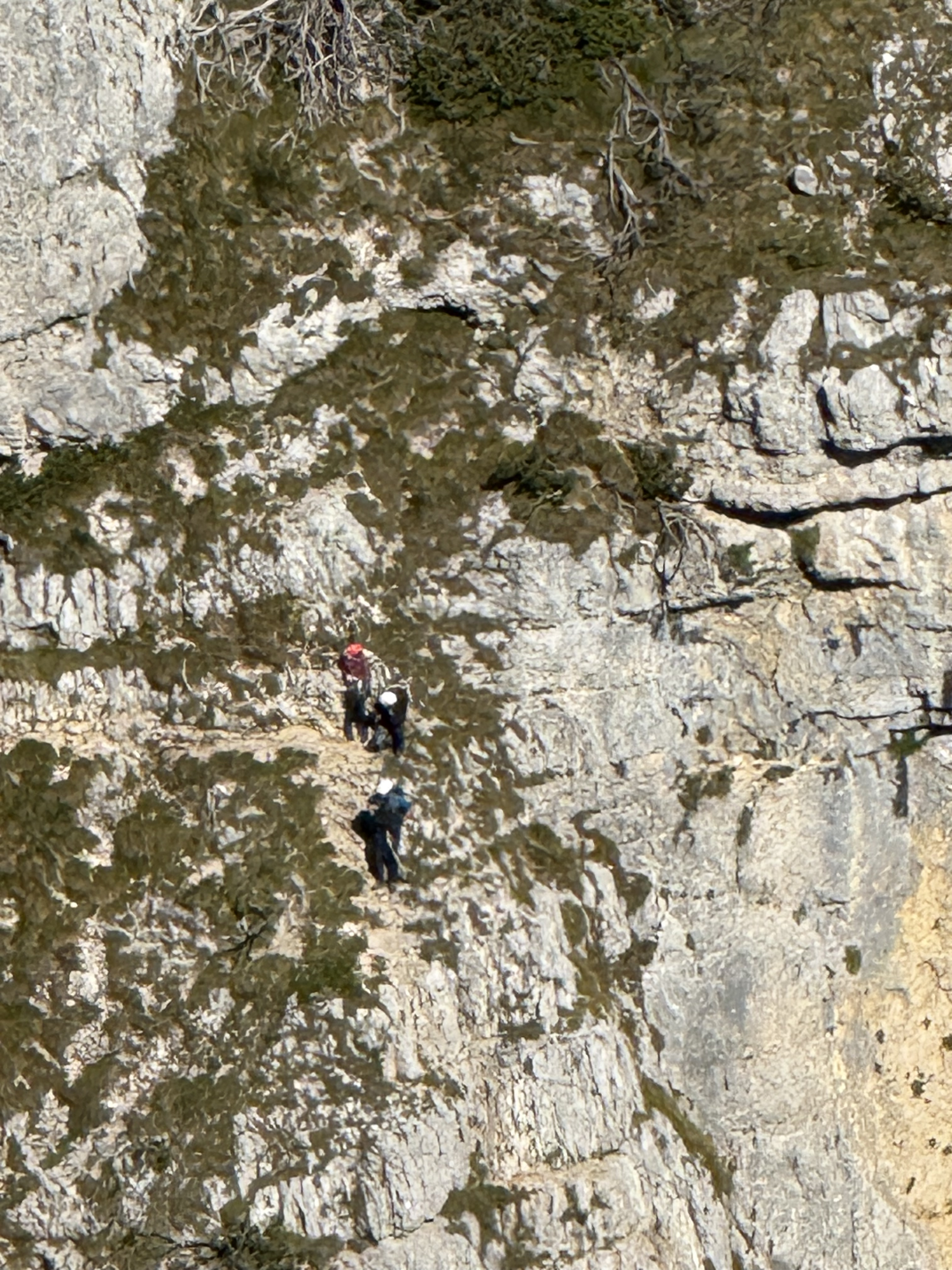
Race day! Which means hike day for me, haha. Like yesterday, I took the Molveno gondola to the top and then started hiking the “3 Rifugio” hike. It was raining for most of the hike, but that didn’t deter me! I brought an umbrella and wore a rainjacket, so was prepared. The hike was super pretty and a little slippery in some parts. There was even a short “via ferrata” (Italian for “iron path”) section that featured a steel handrail bolted to the rock wall. That handrail is to provide some support along the exposed part of the trail. I can’t say enough about how beautiful the hike was, so I’ll let the pictures speak for themselves.

This section was narrow and exposed, but still quite walkable. The rain made some spots a little slippery, though.

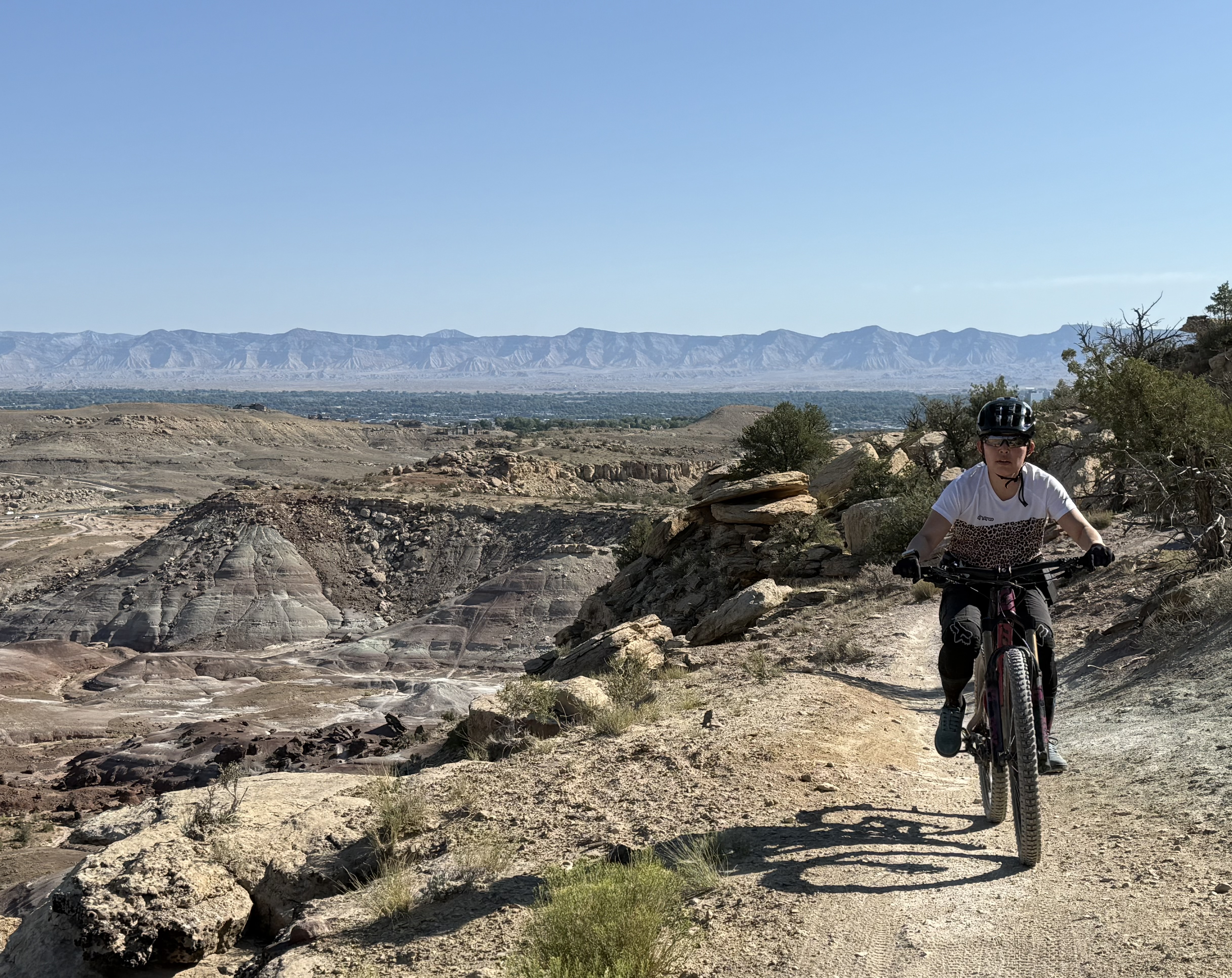
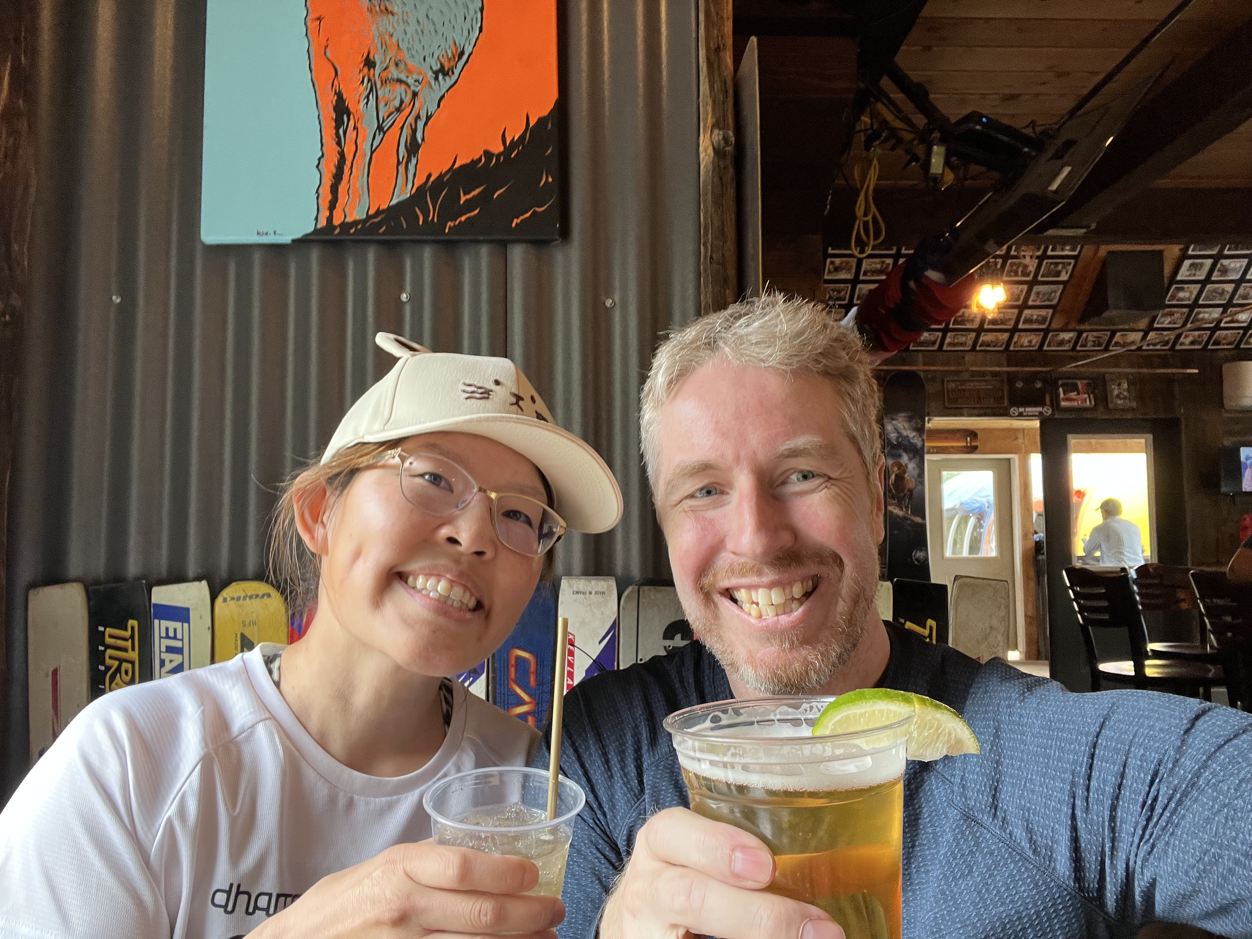
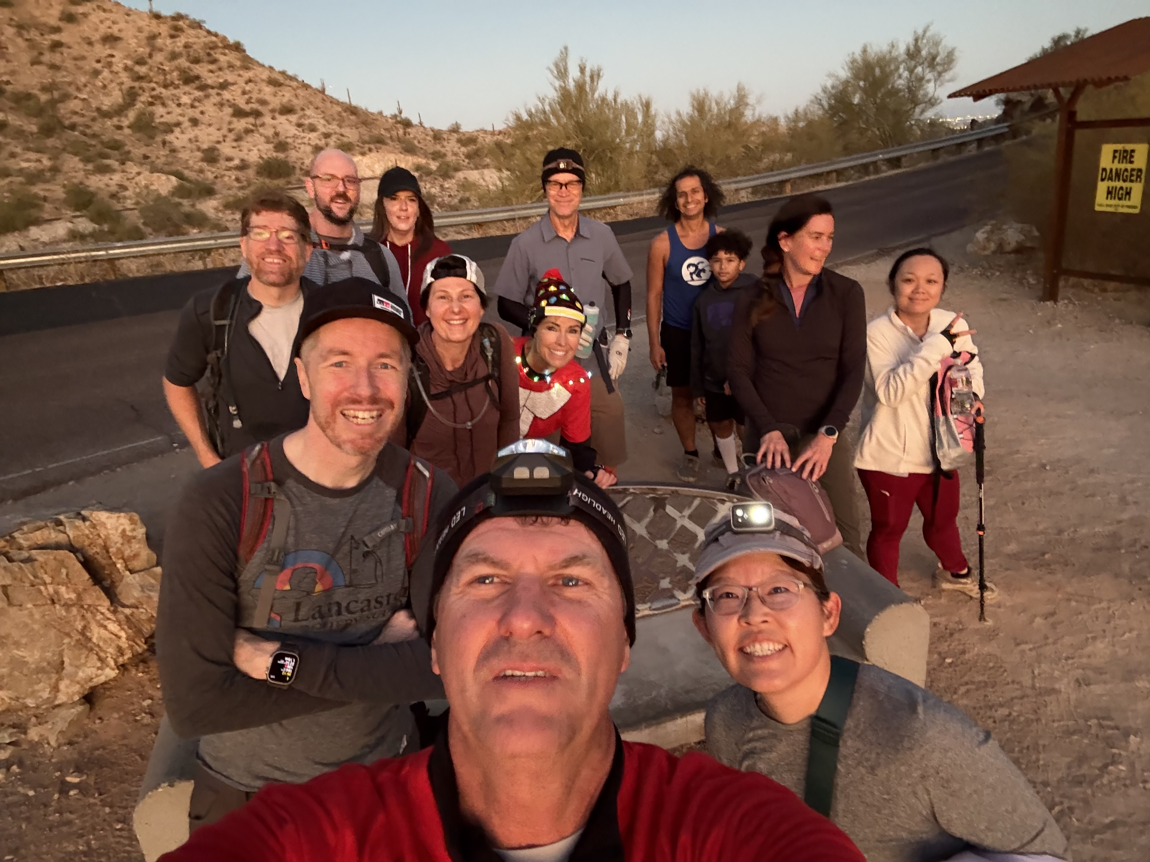
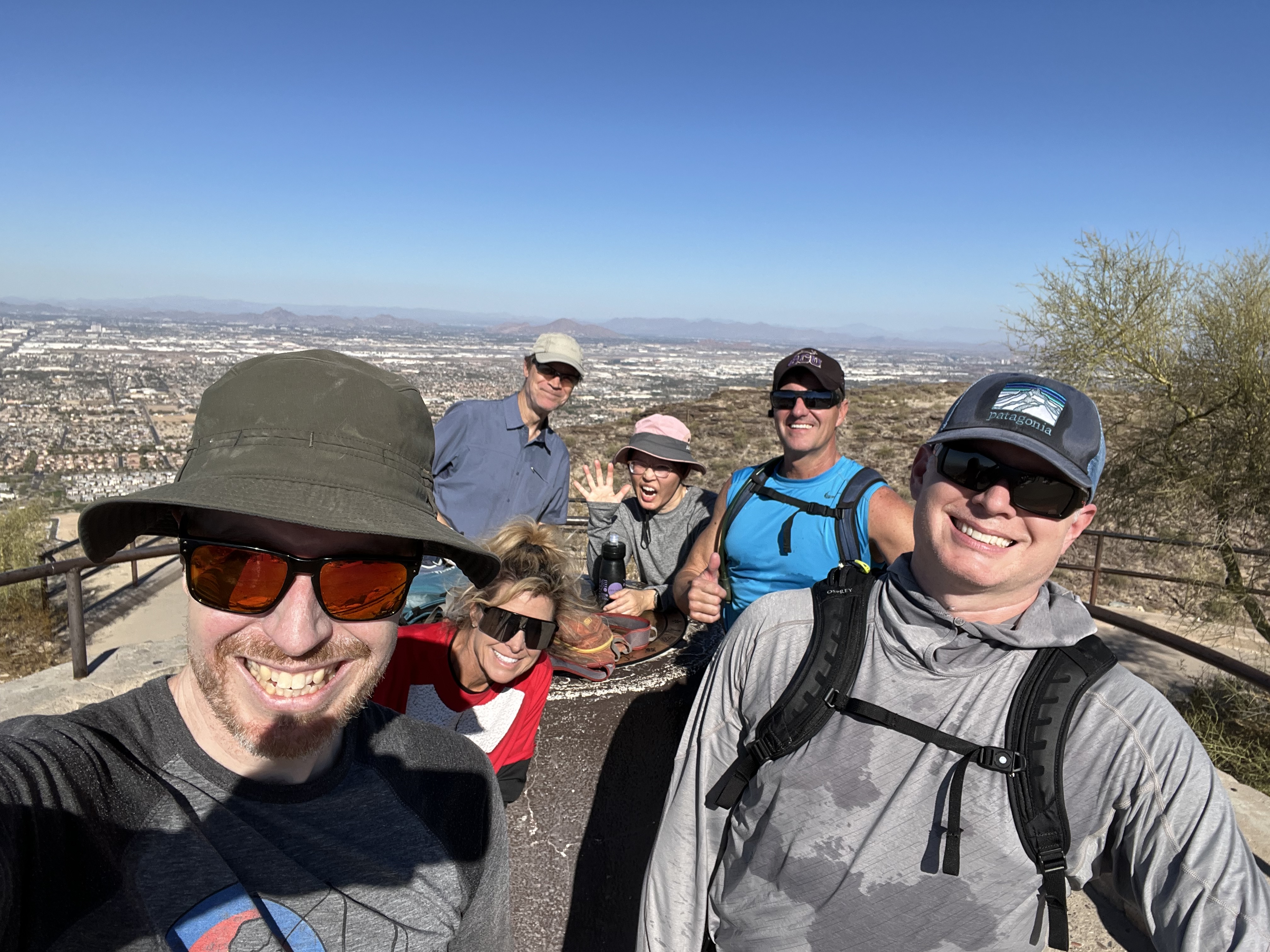
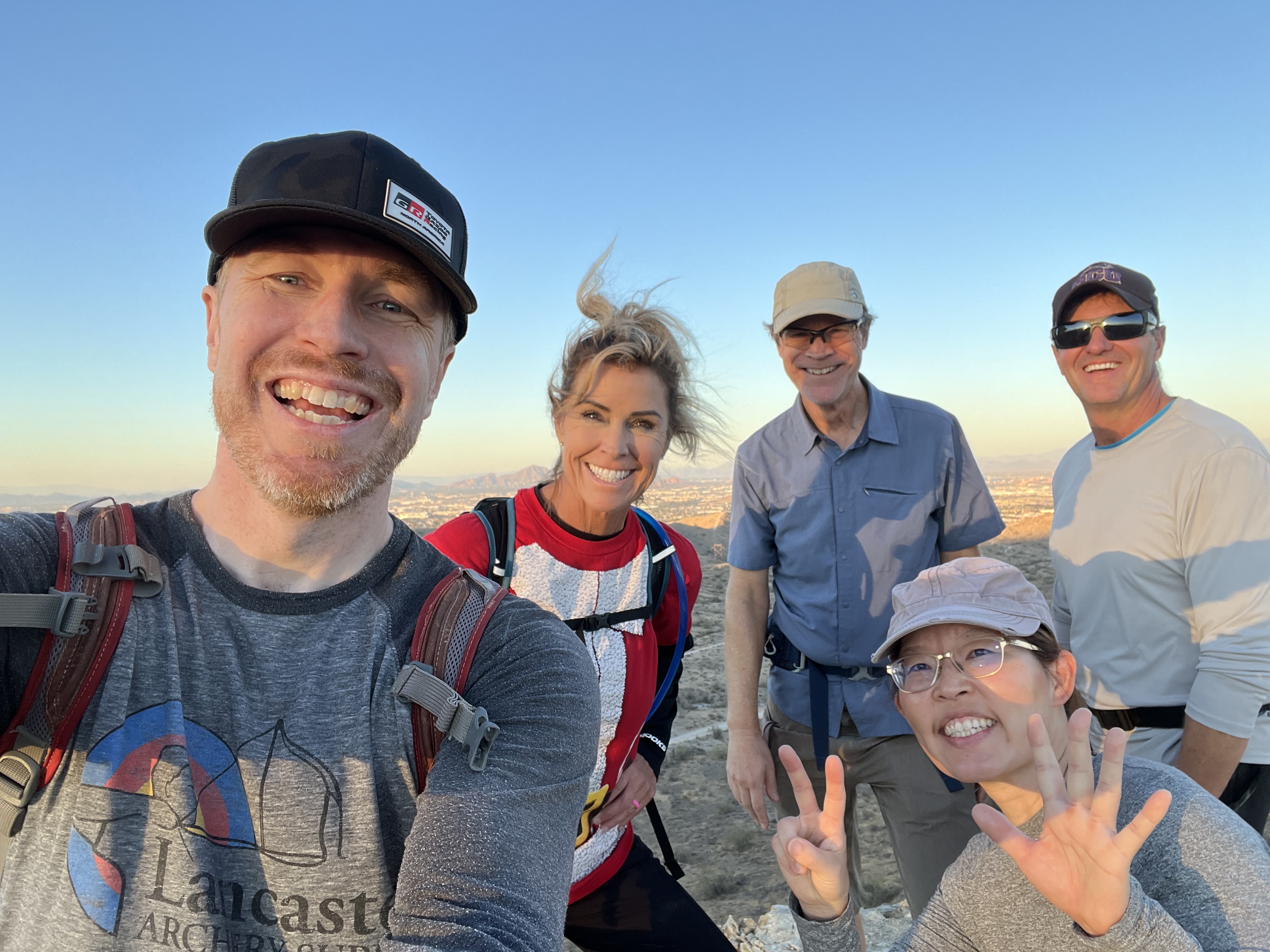
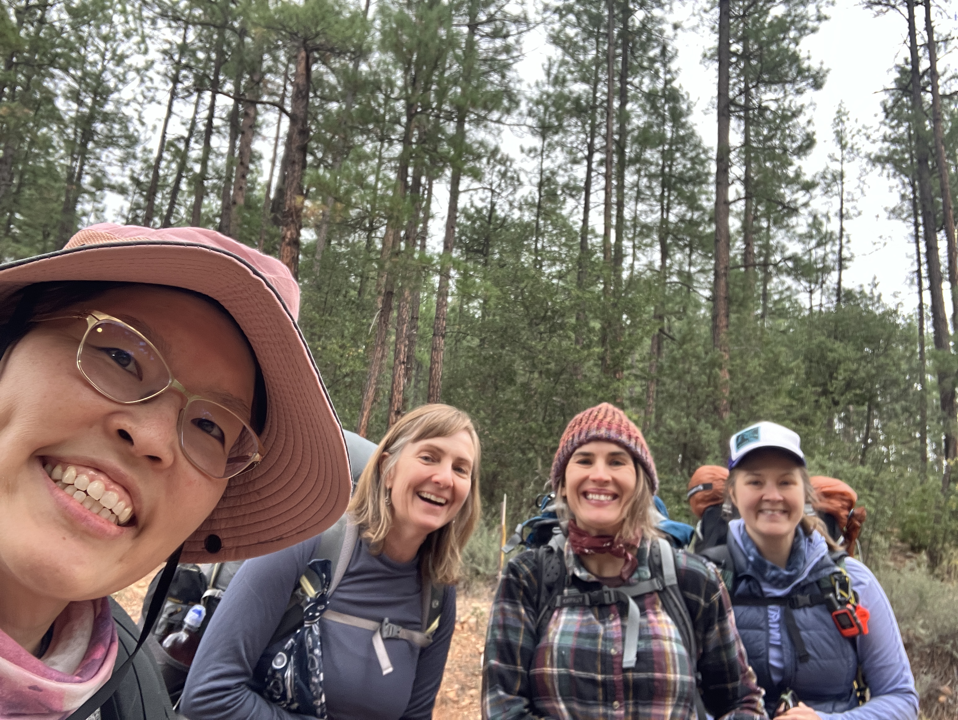
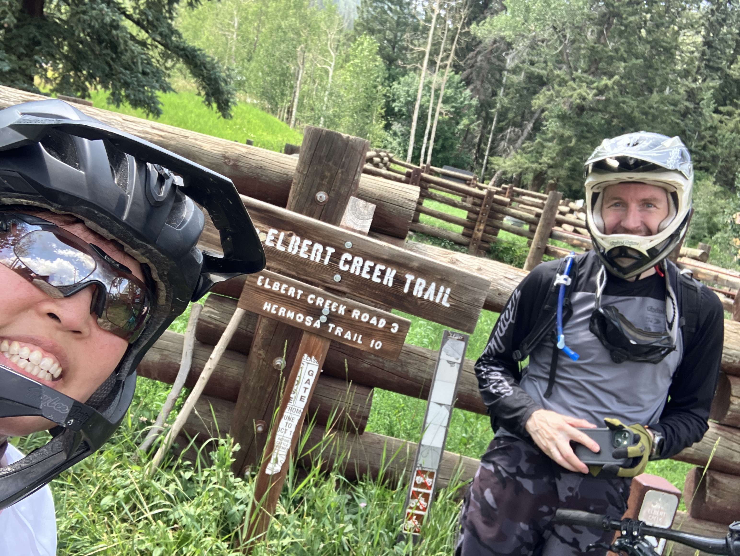
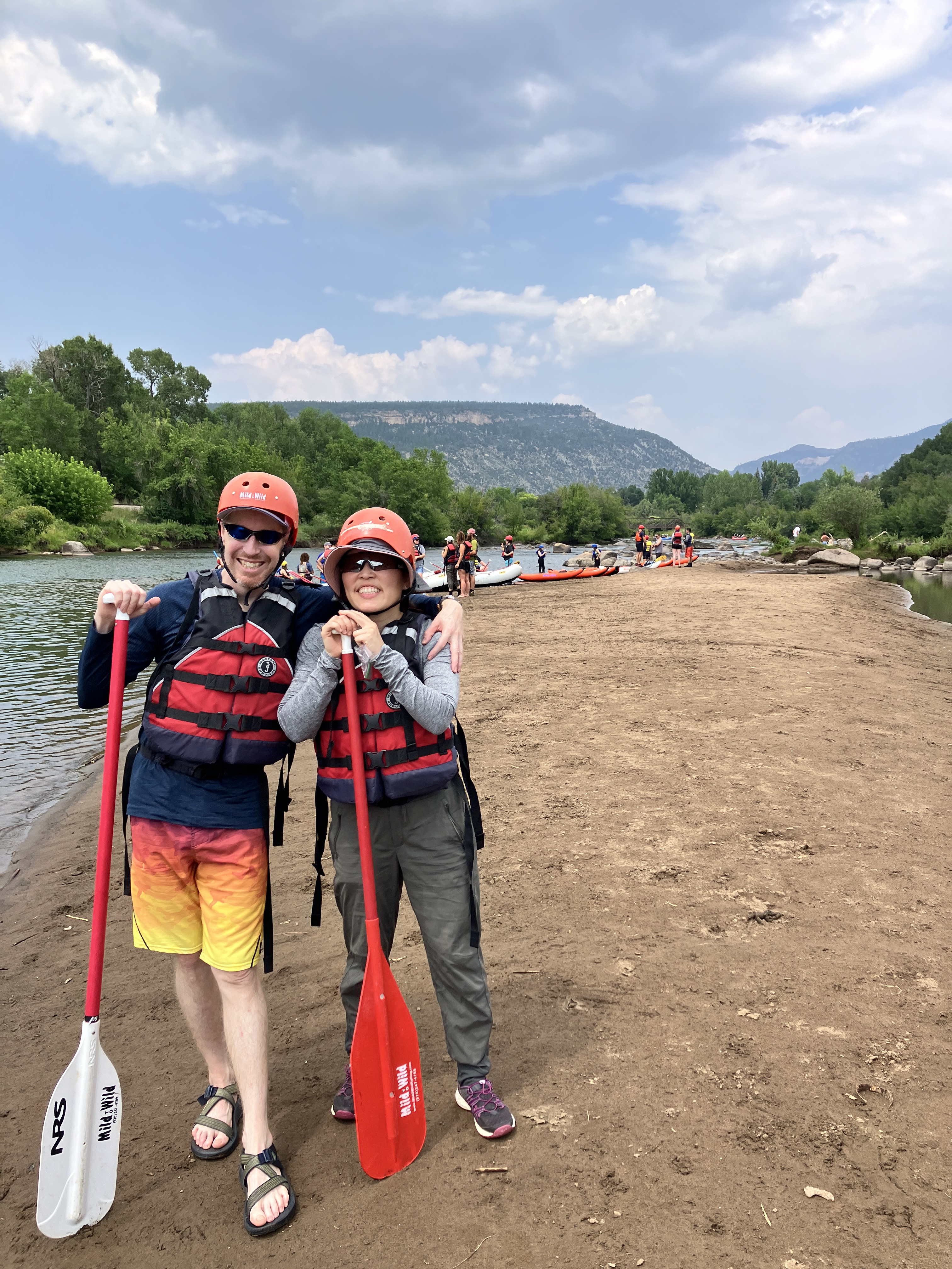
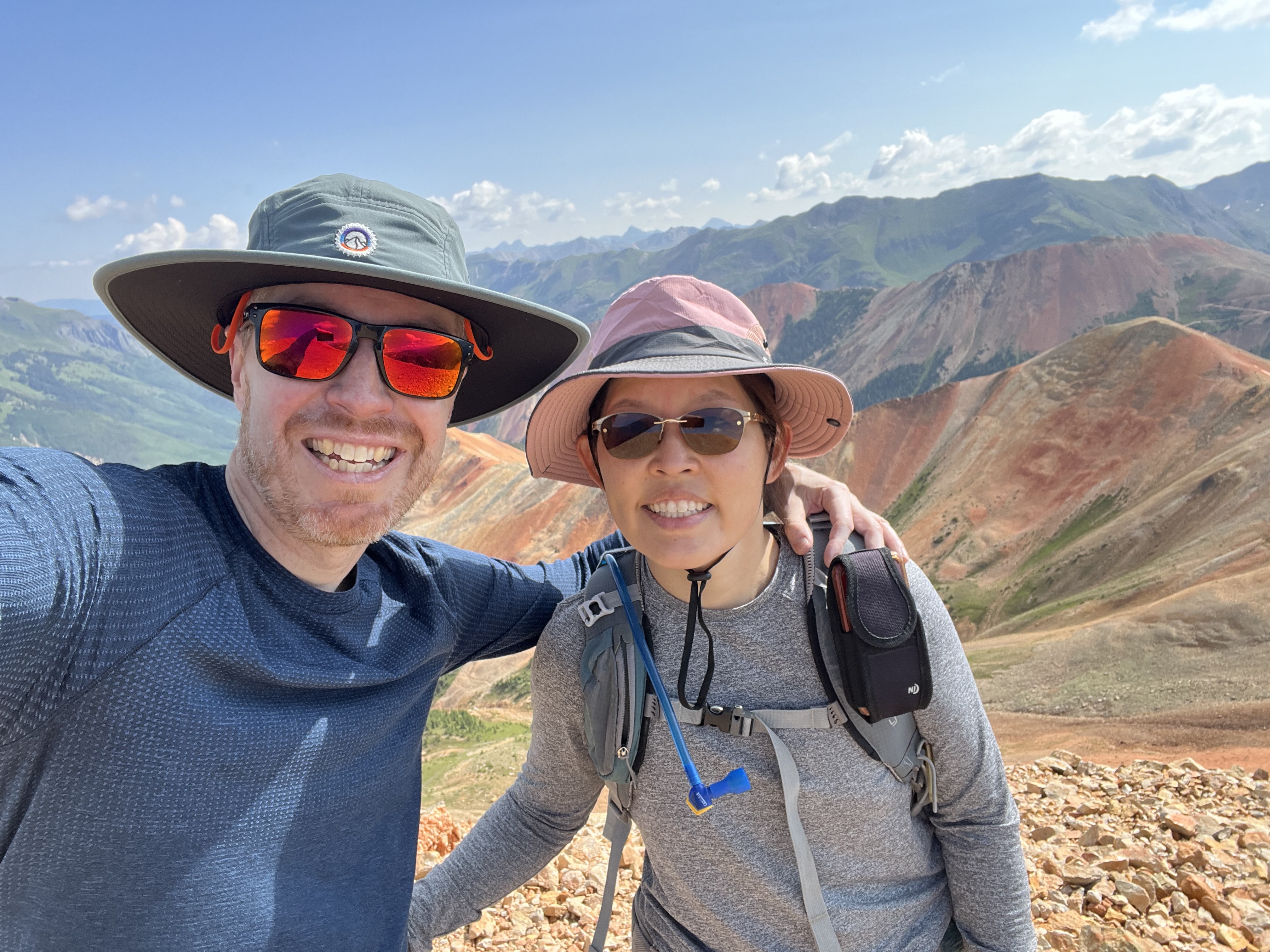
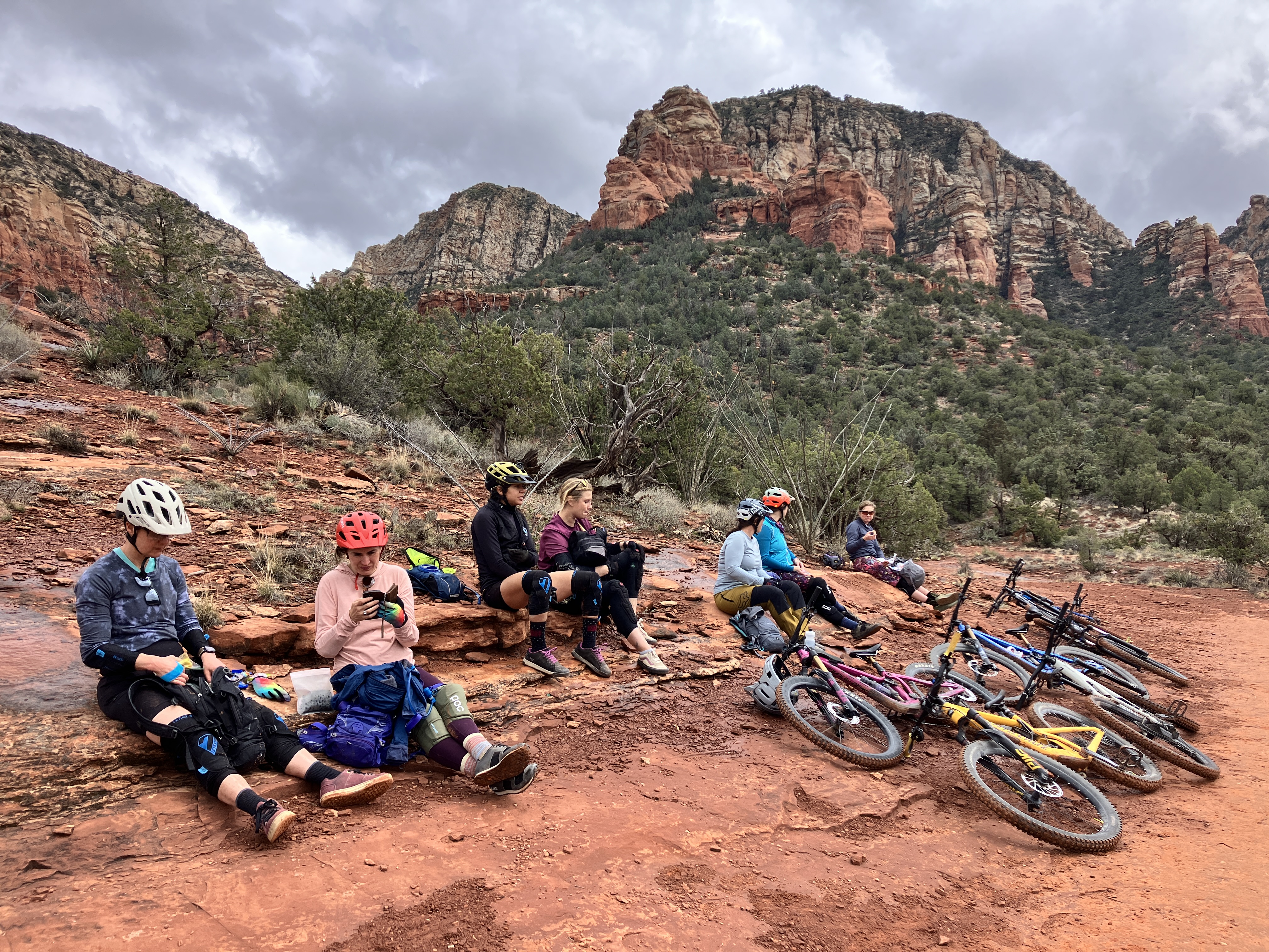
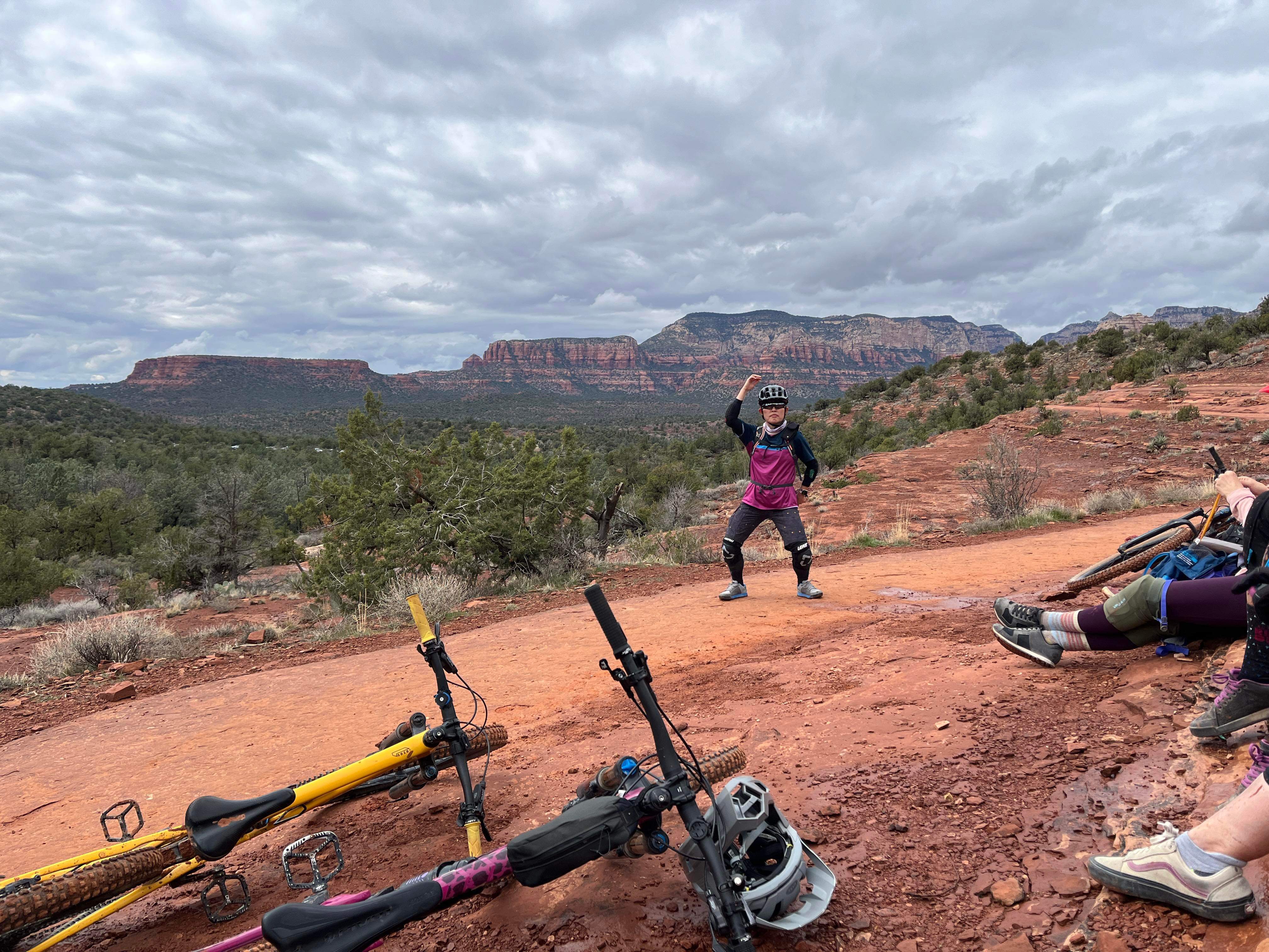
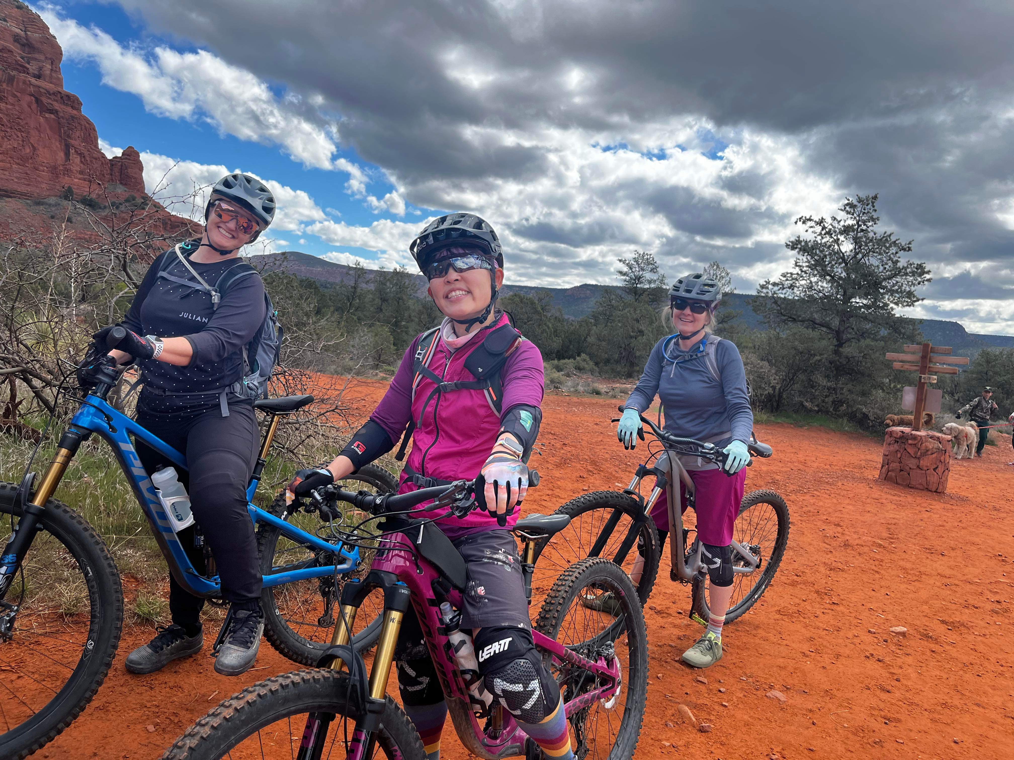
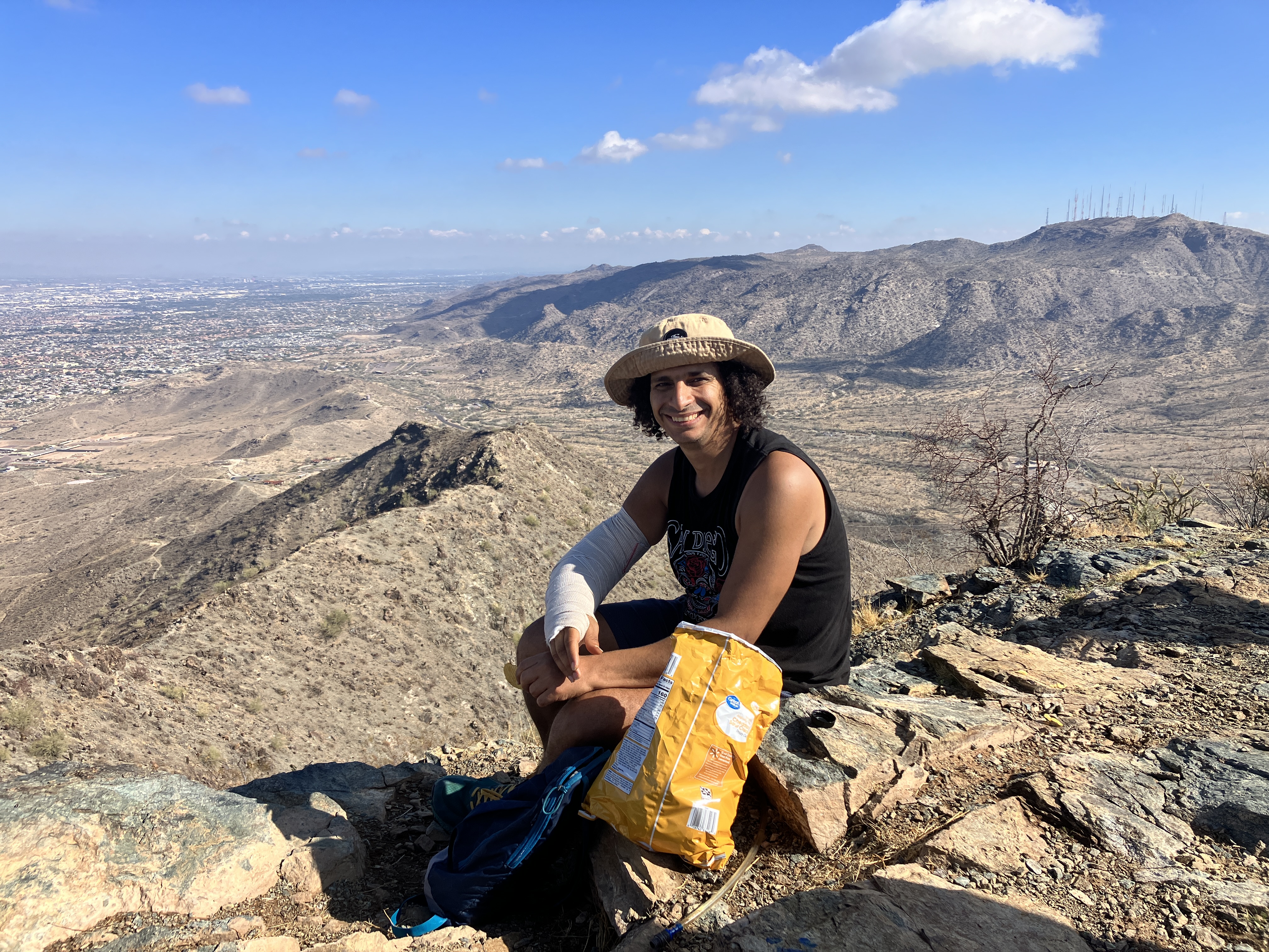
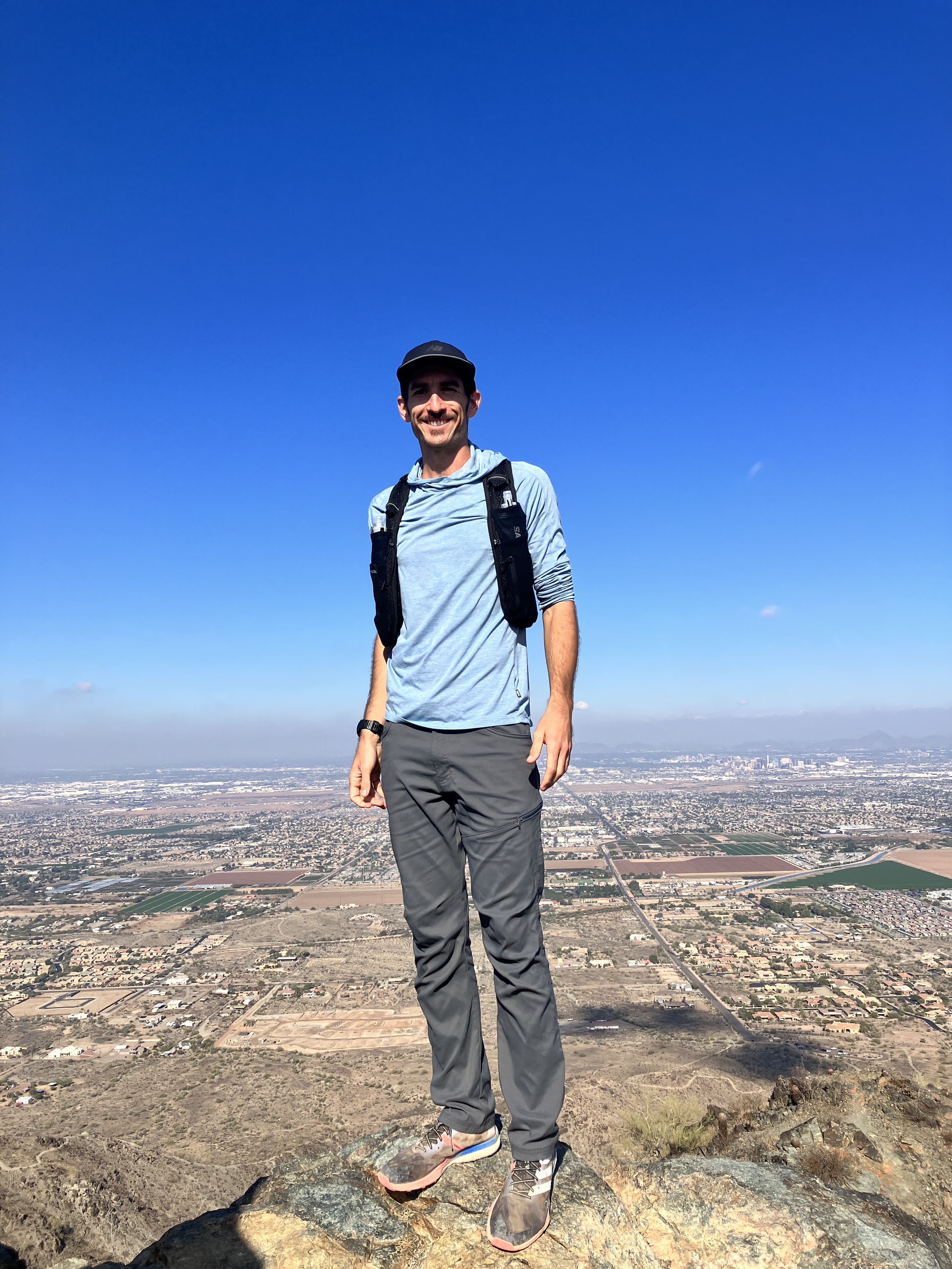
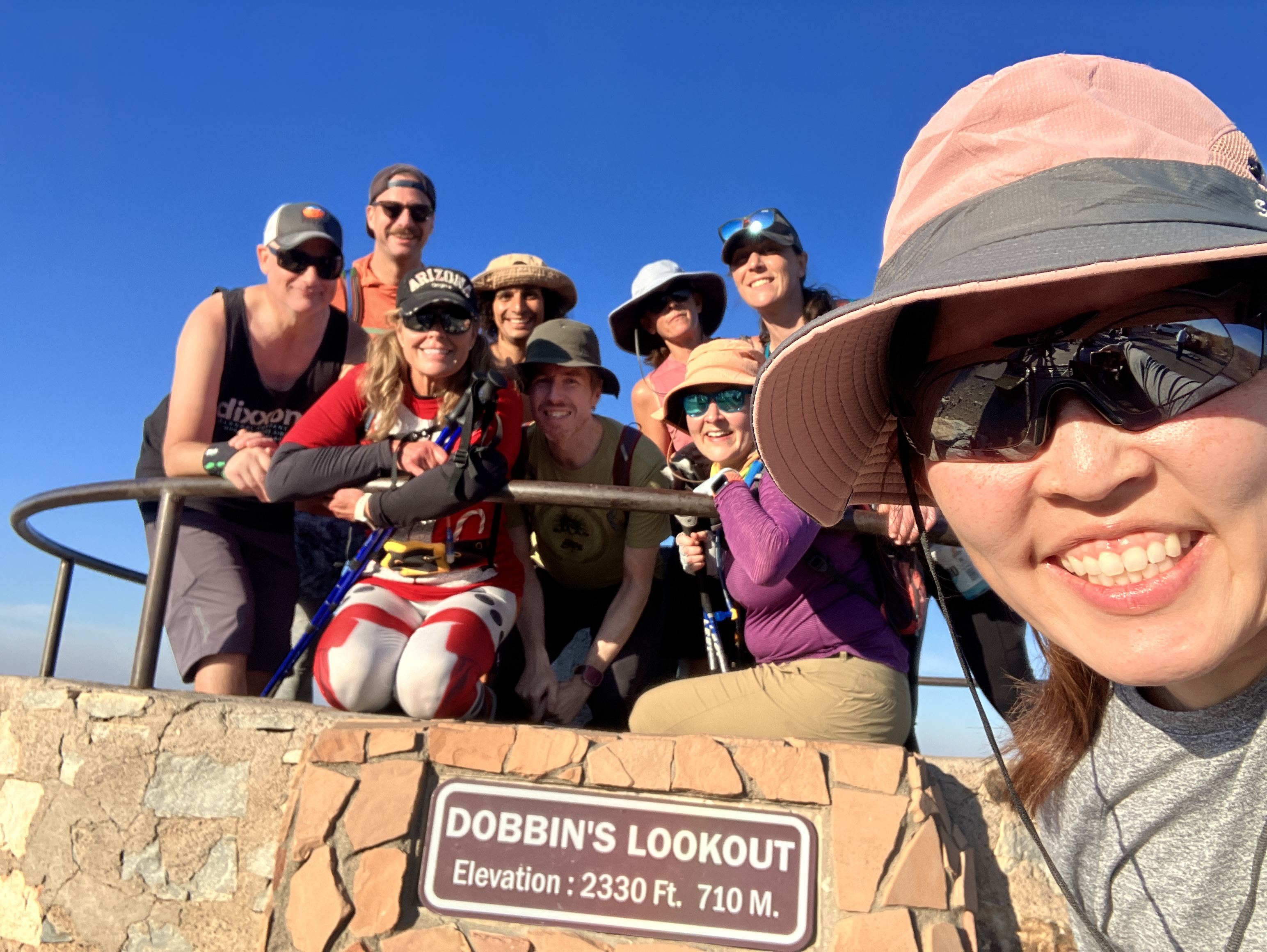
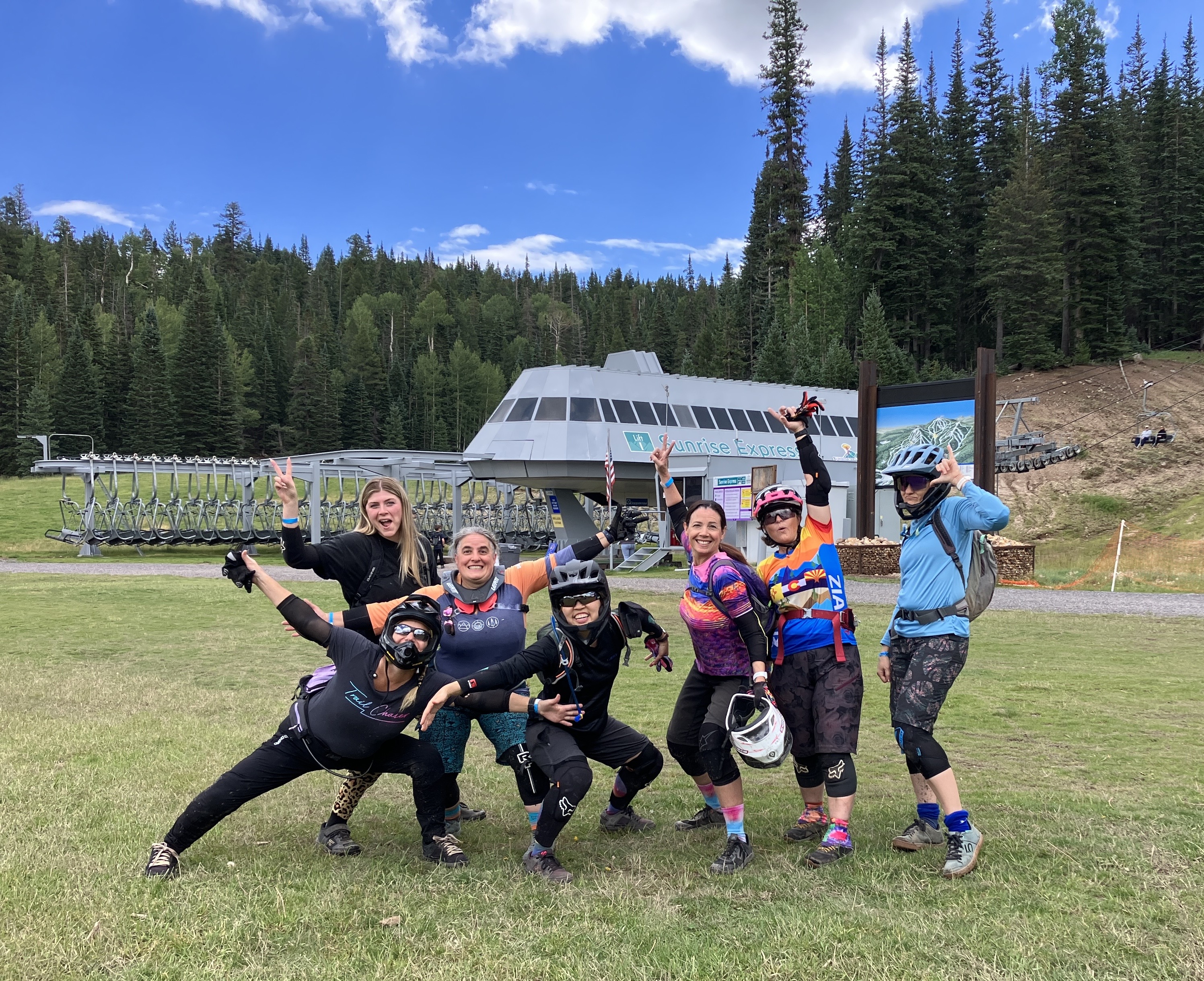
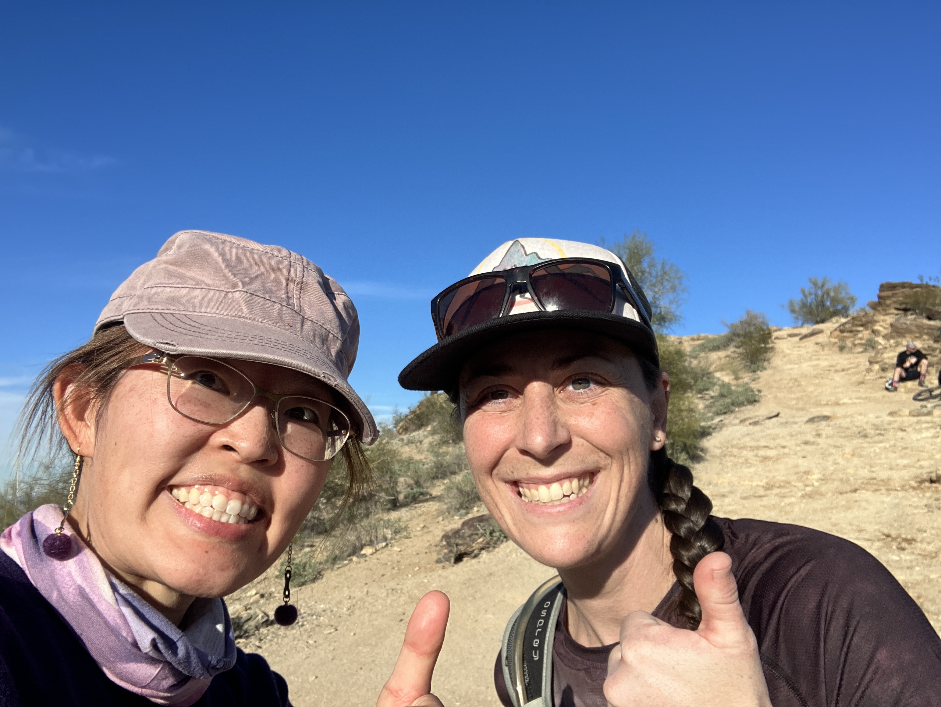
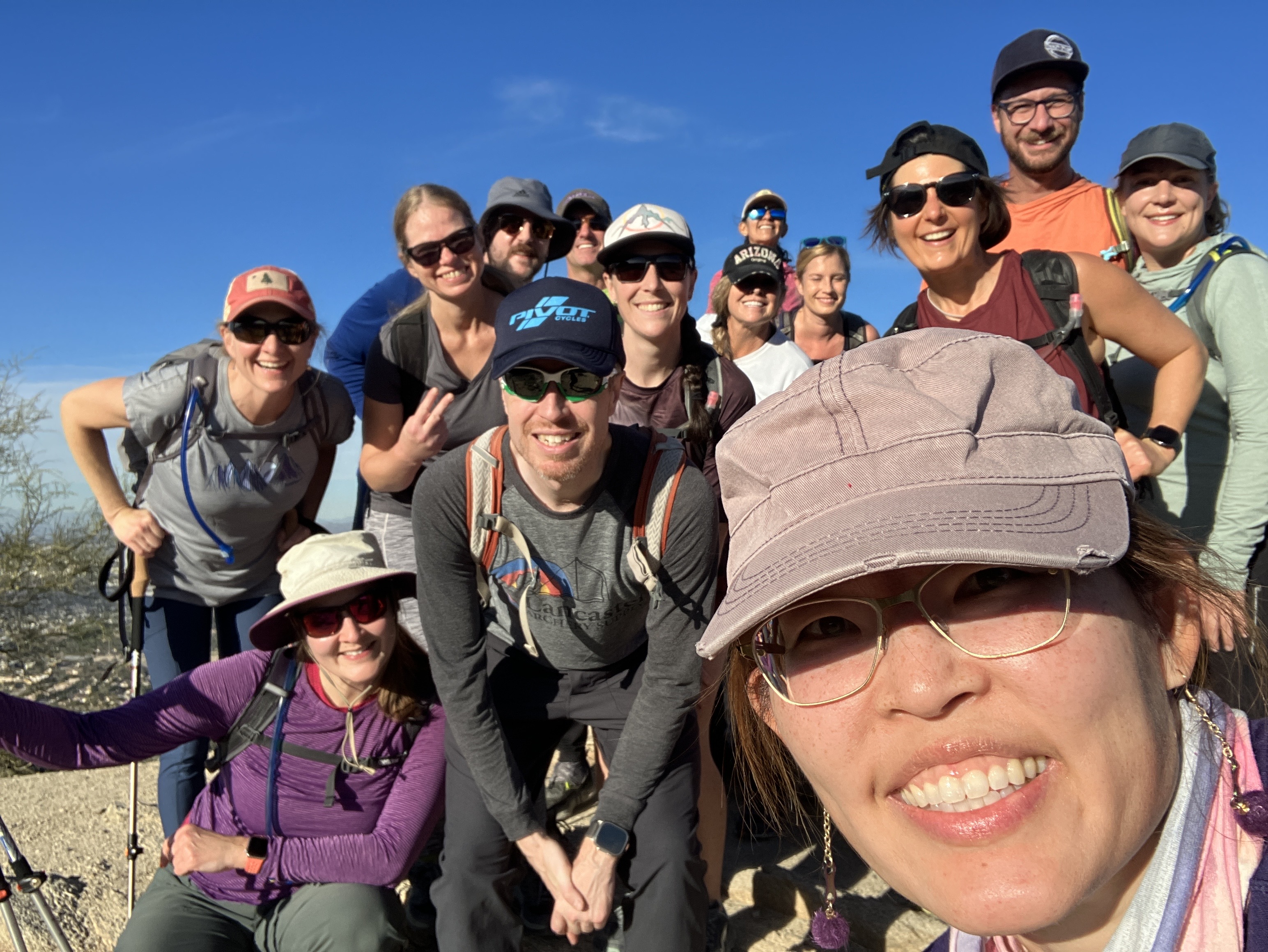
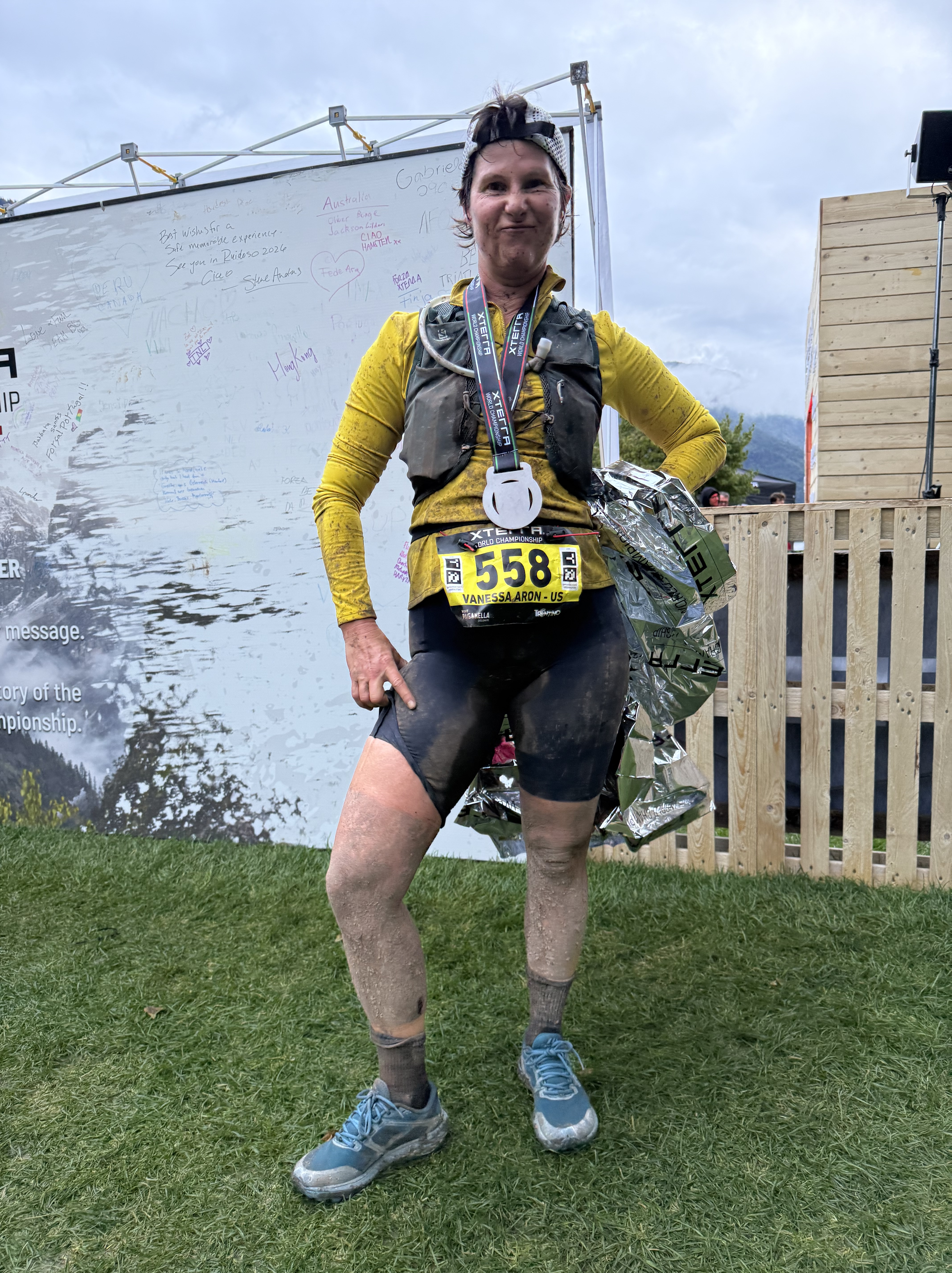
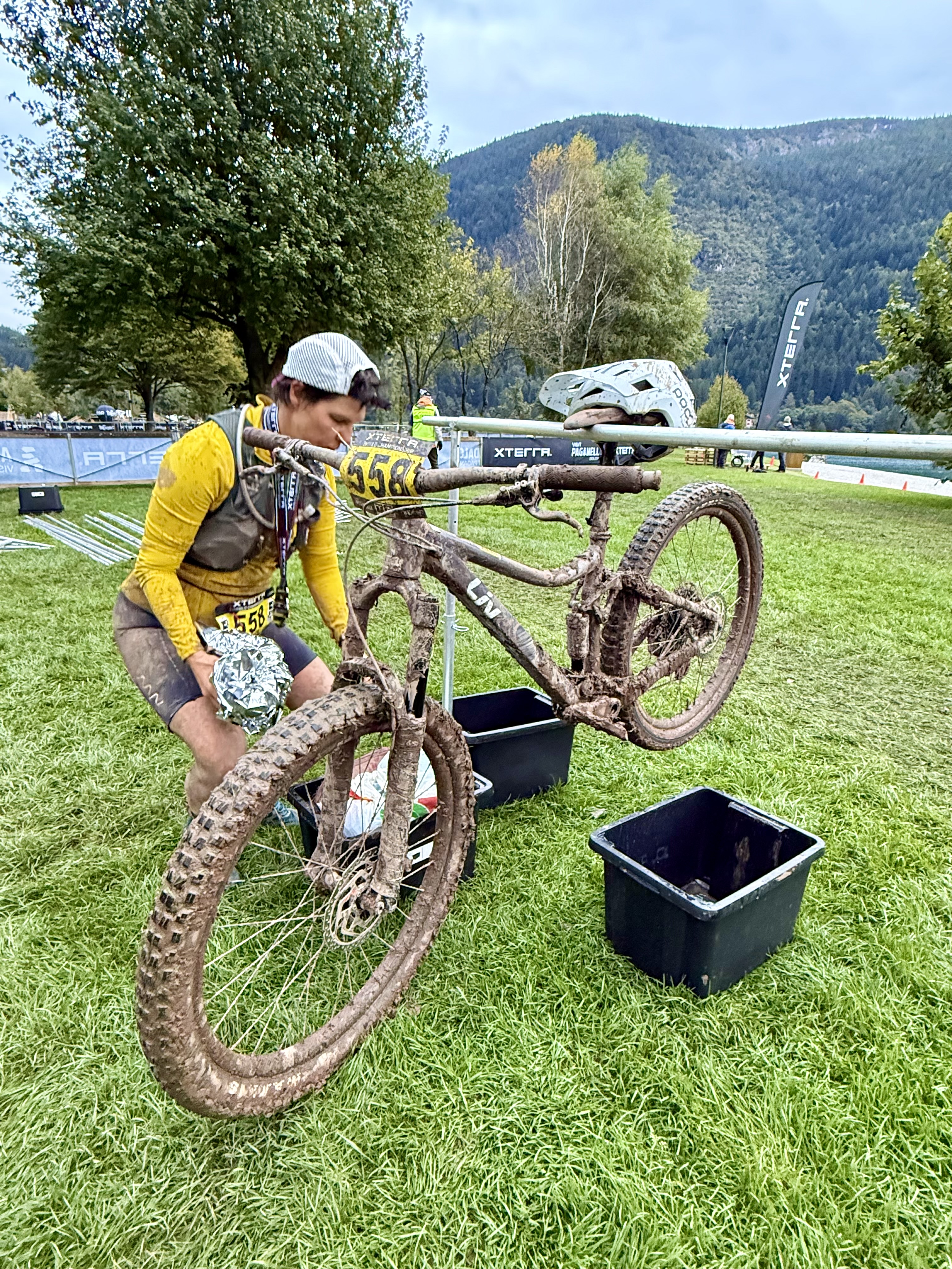
After my hike, I took the gondola down to the village and walked back to the hotel to shower. Then I made my way over to the finish line to cheer Alex and Vanessa through the end of the race….little did we know that the bad weather would significantly impact their performance. The heavy rain and mud slowed most of the racers’ progress and I ended up waiting an hour and a half for my friends to cross that finish line. But they did and I got photo evidence! I saw lots of racers finish while waiting for Alex and Vanessa and to be honest, a lot of them looked pretty miserable and MUDDY. I’m glad I didn’t have to race!

Sunday September 28, 2025

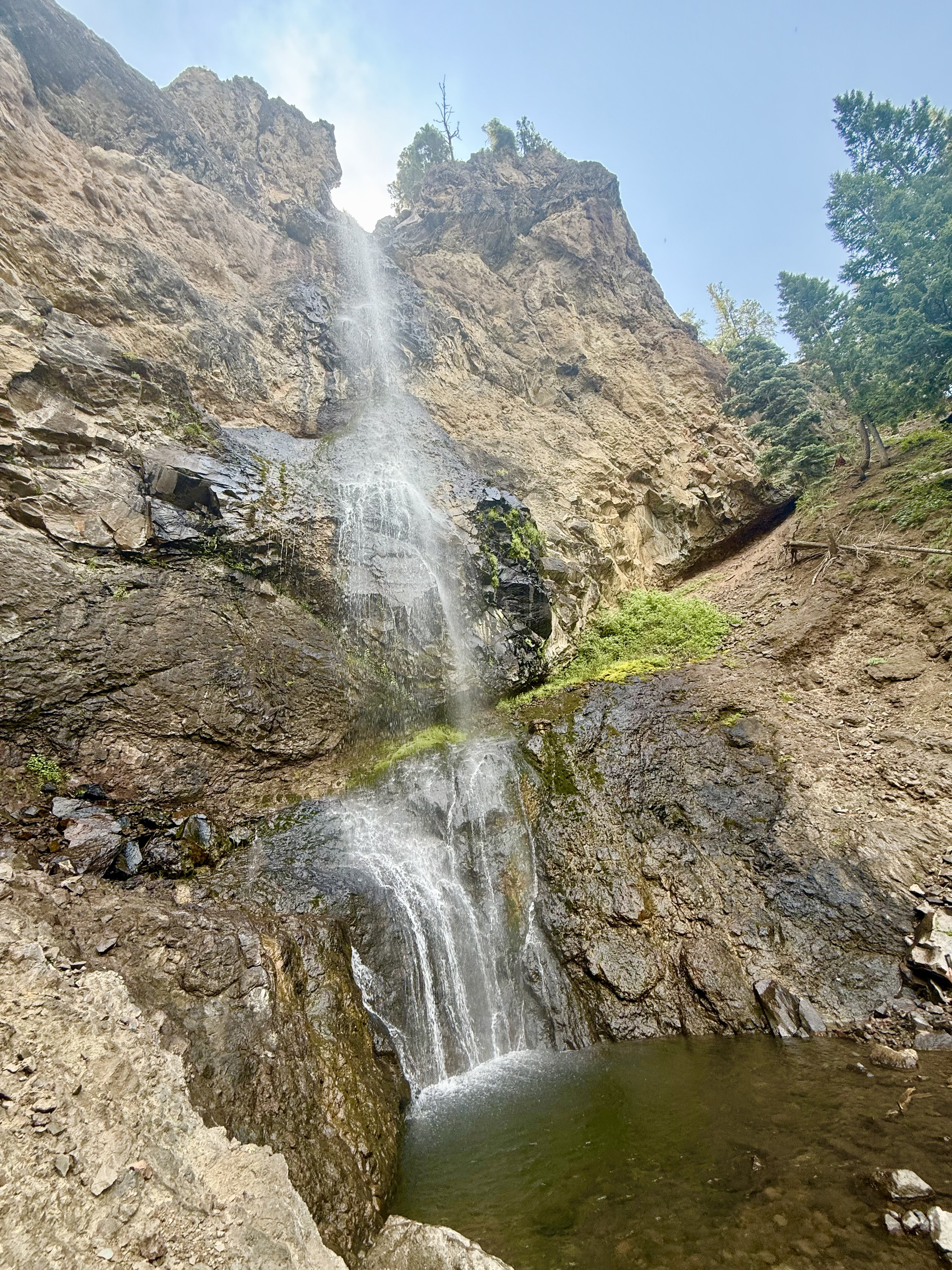
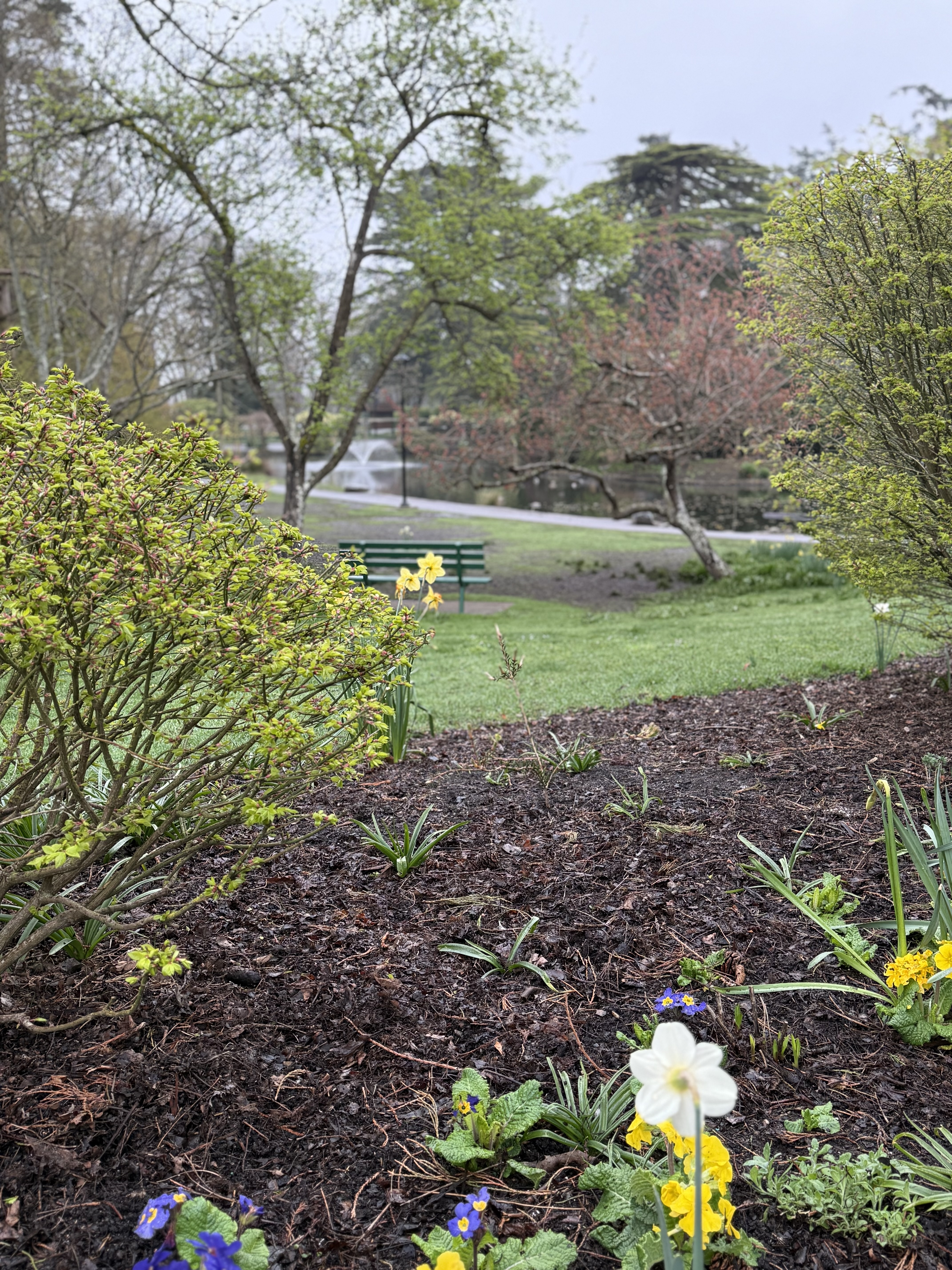
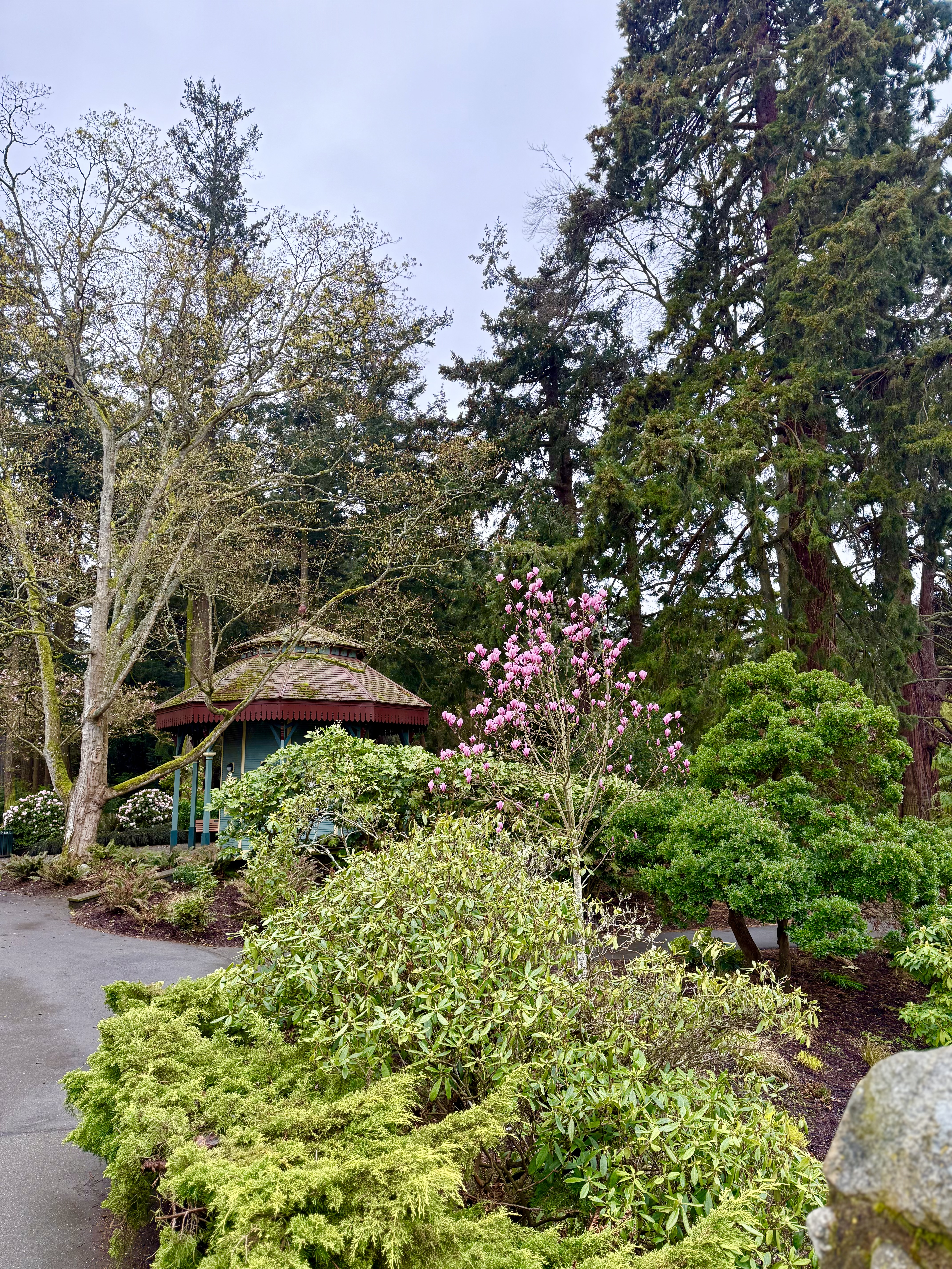
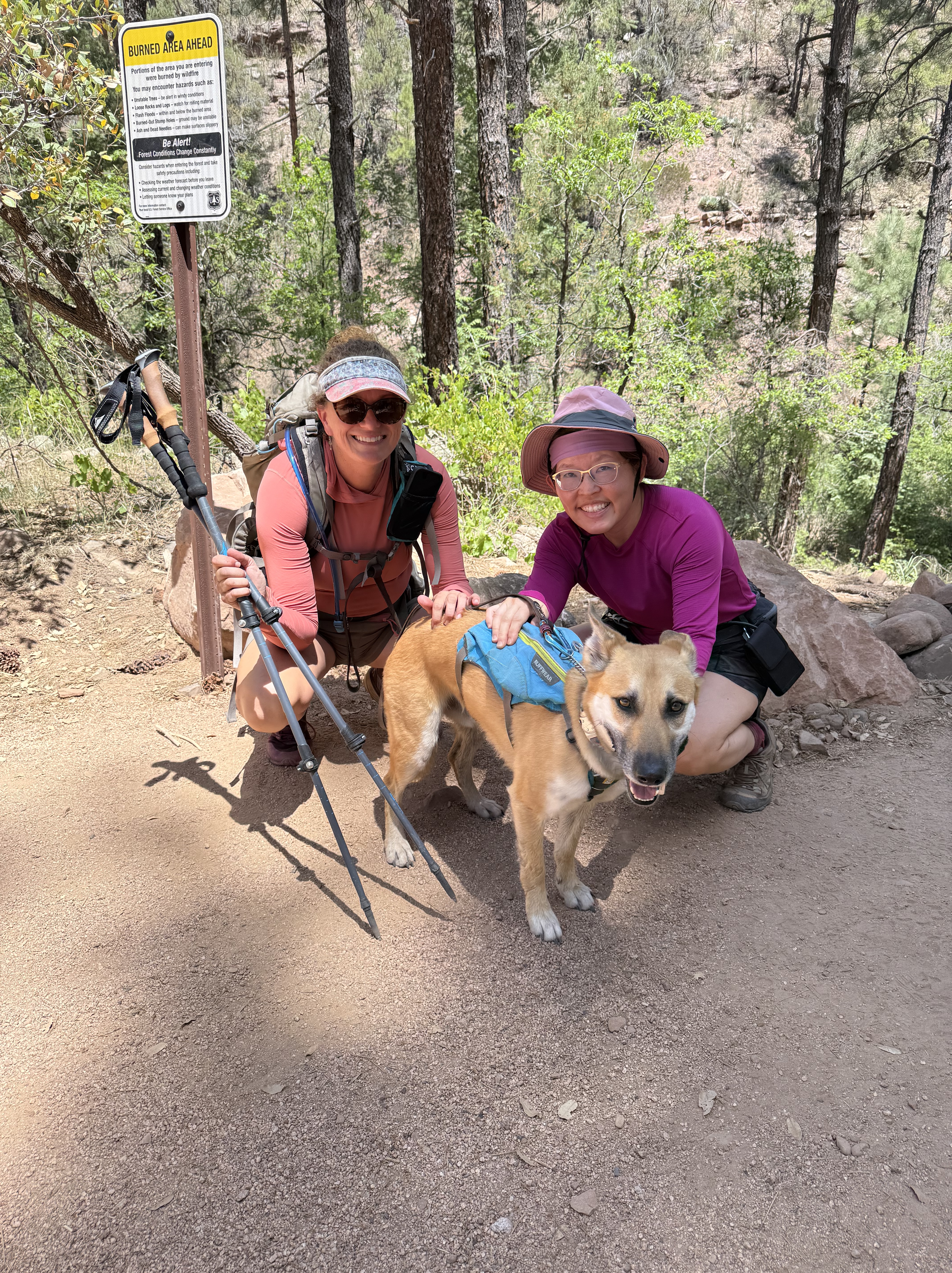
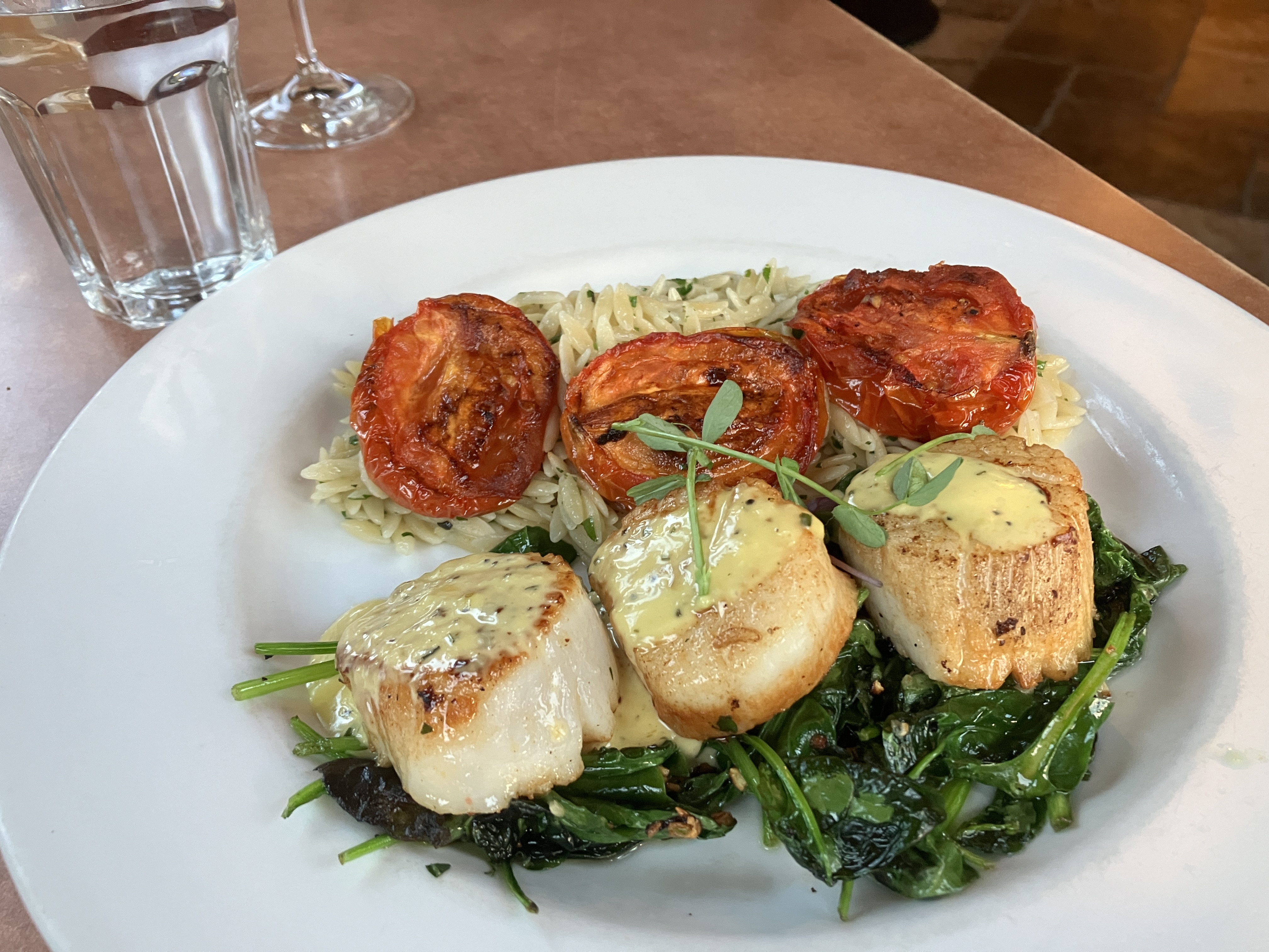
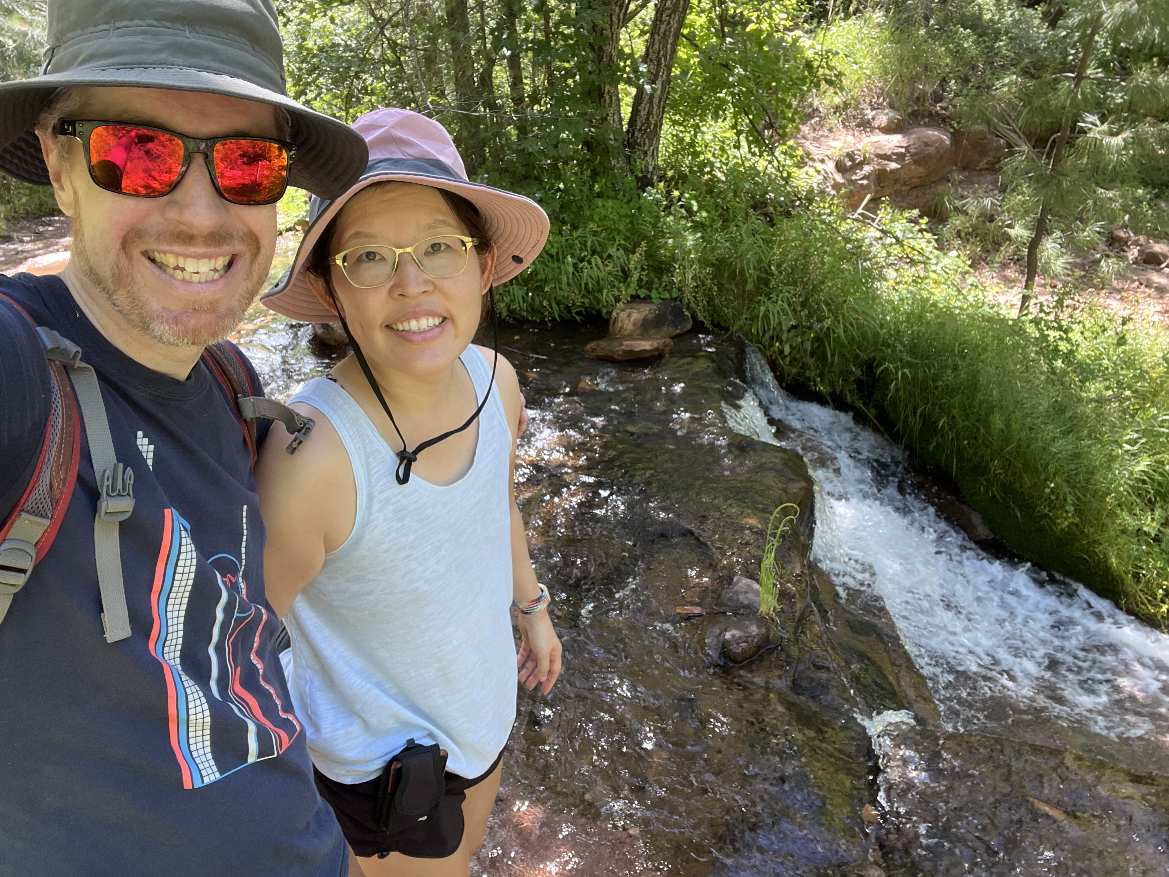
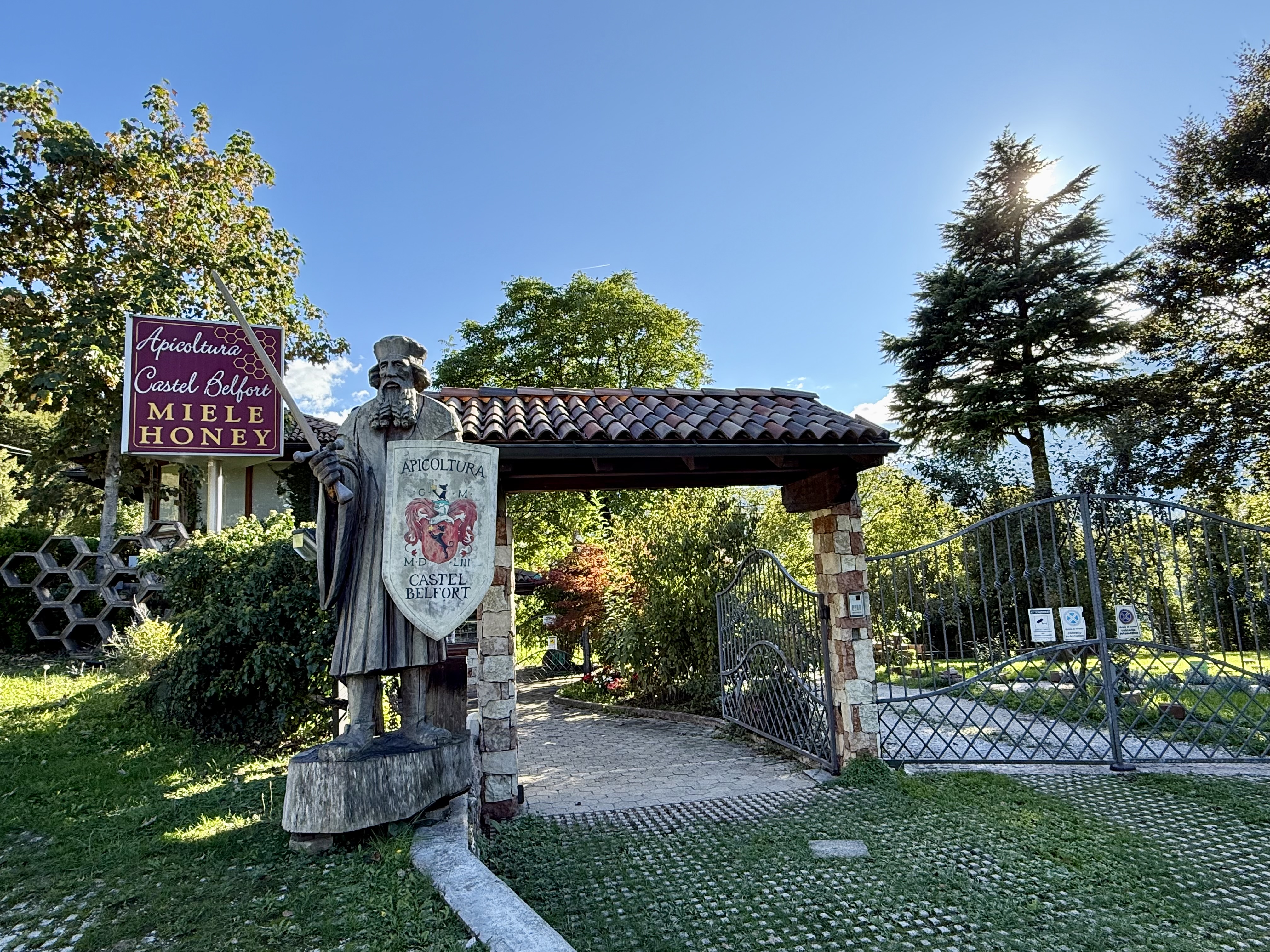
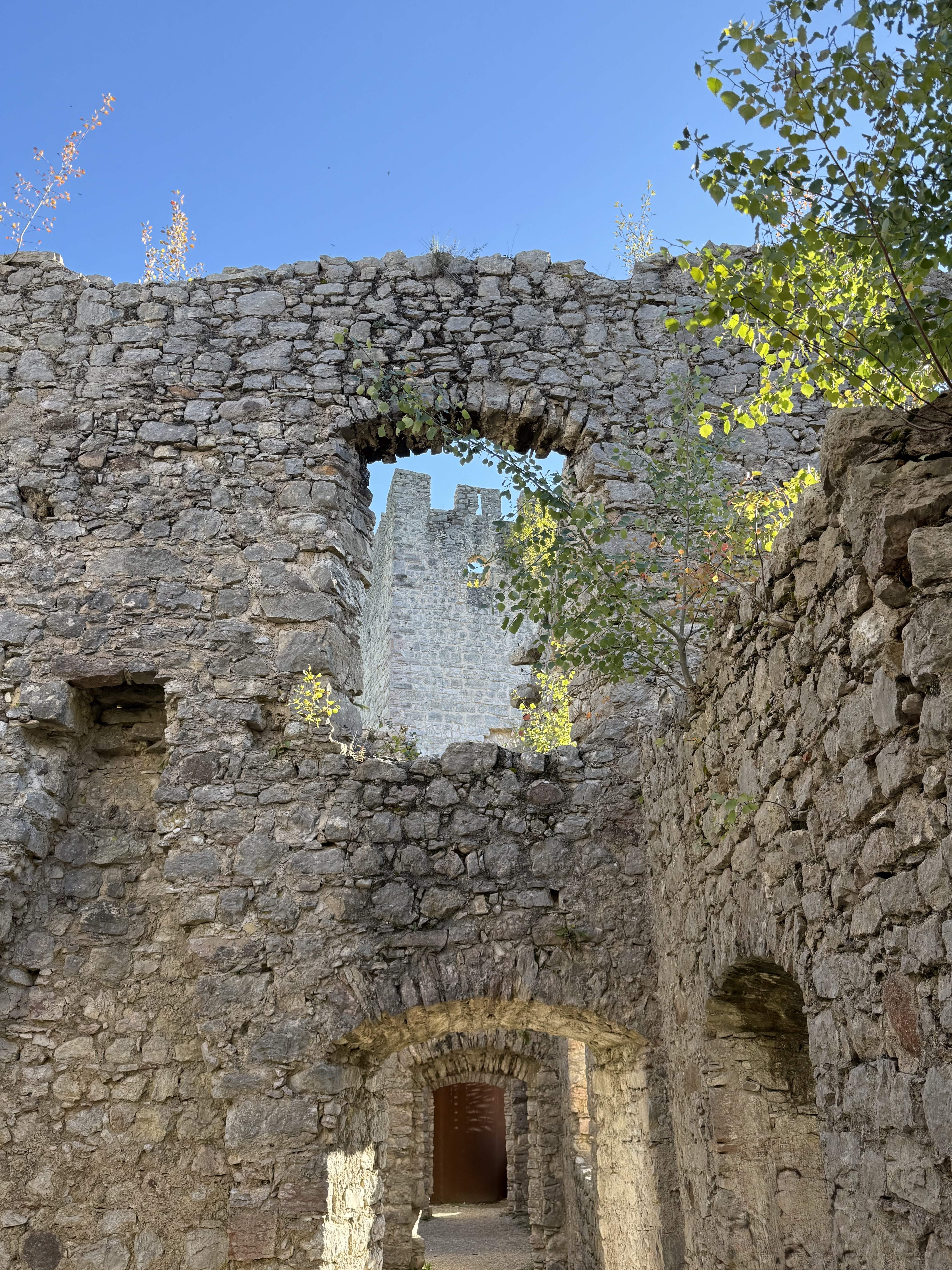
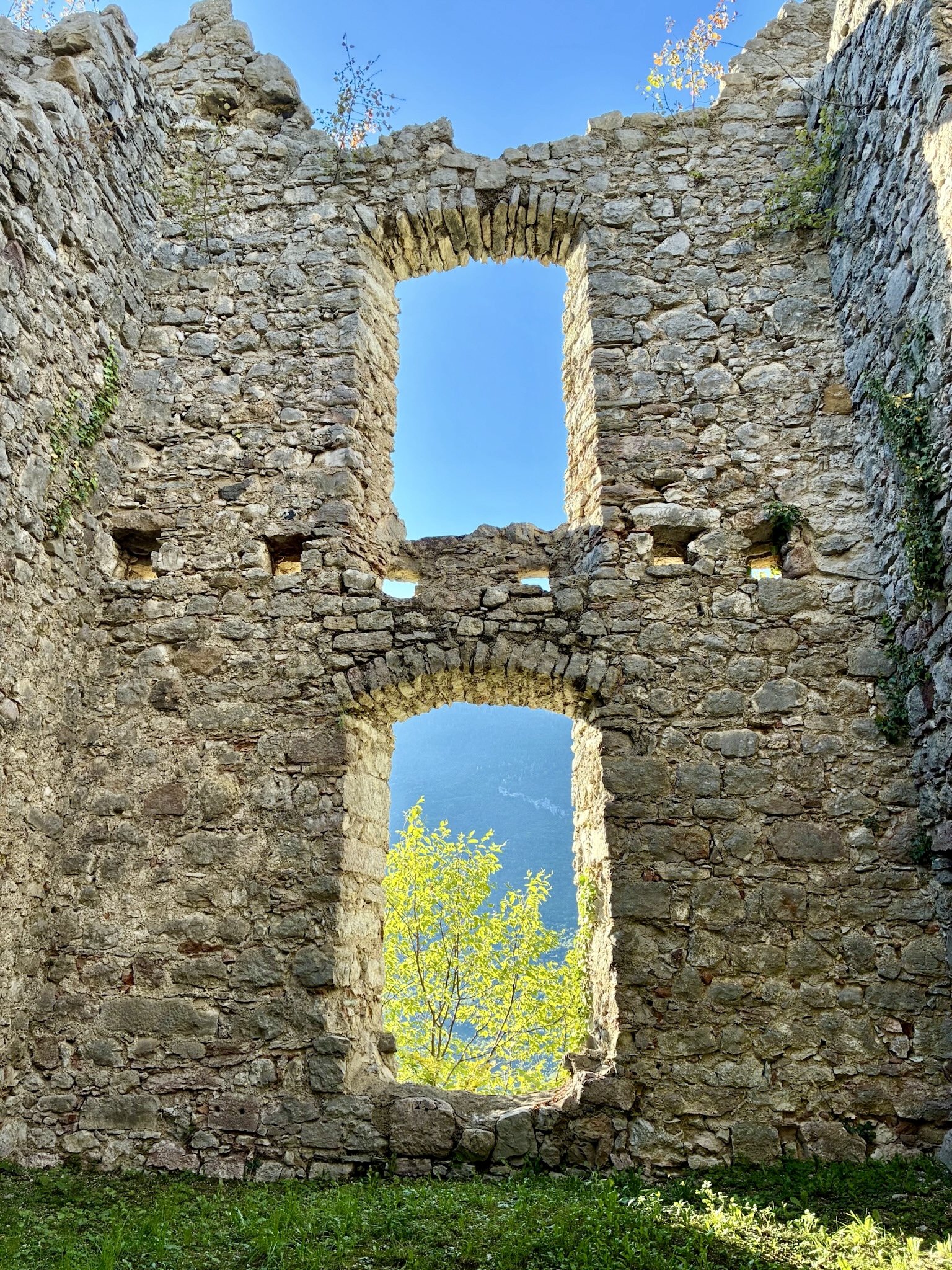
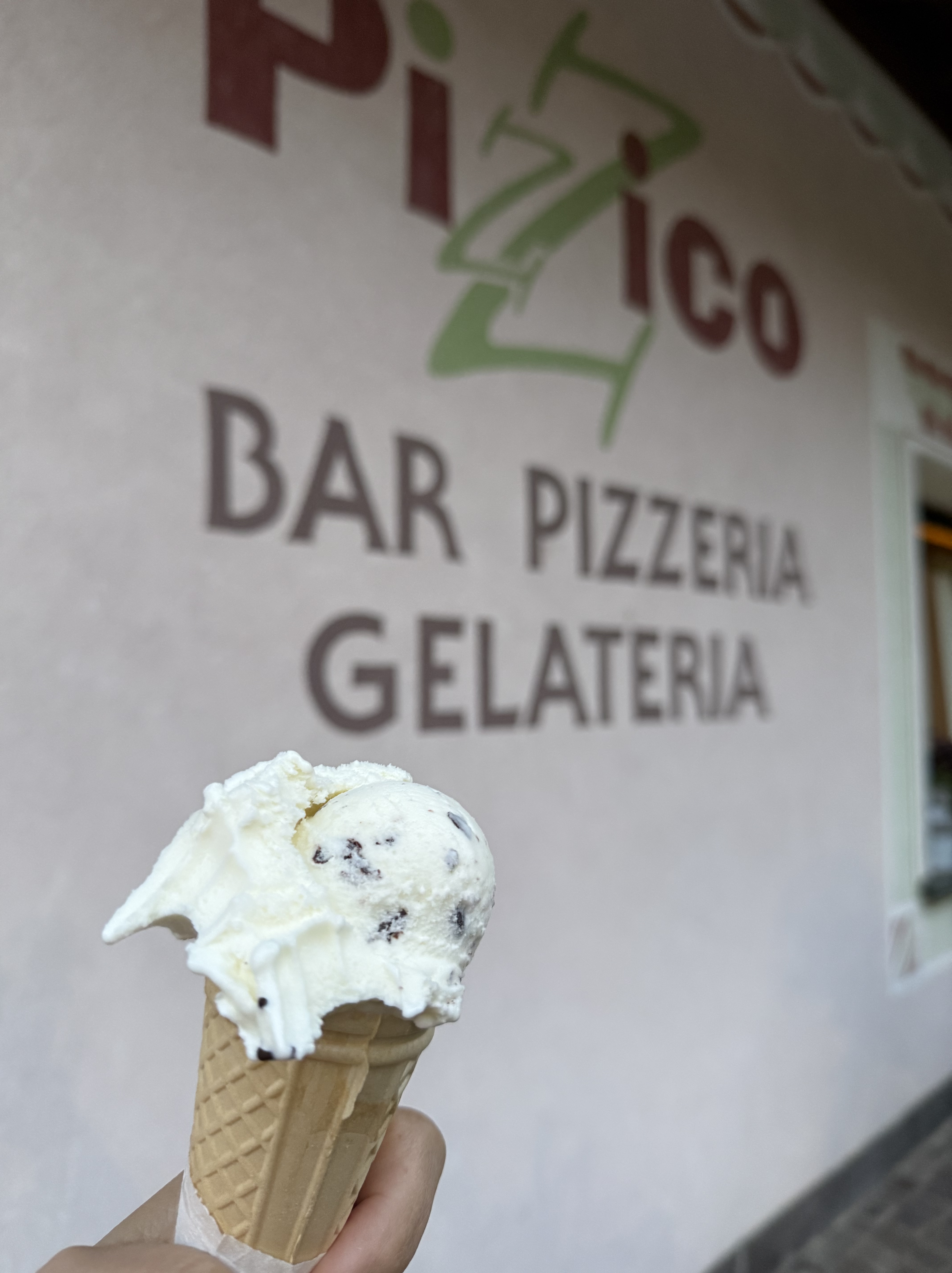
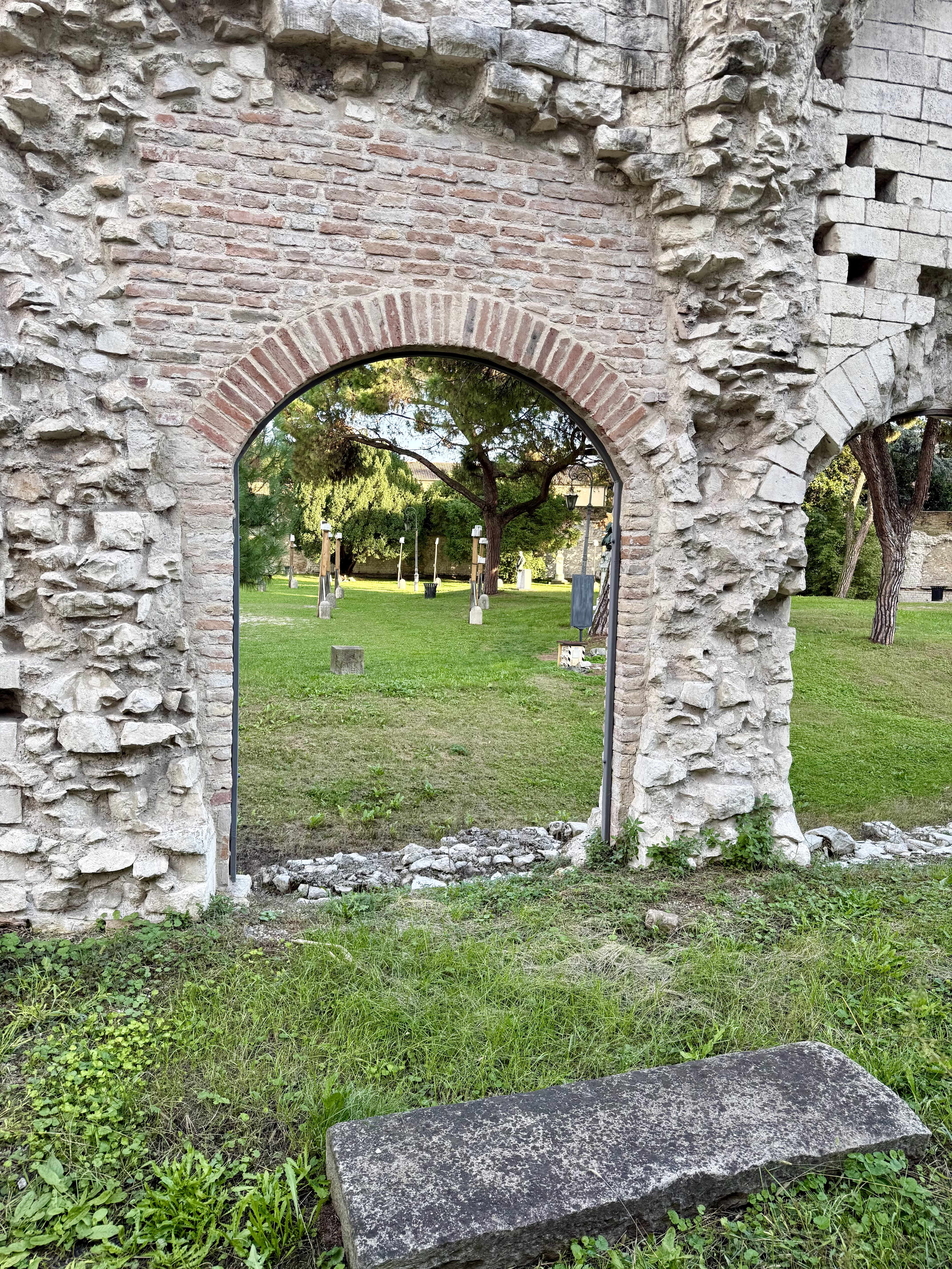
One thing I wanted to do while in Italy was go to Catholic mass. Although I was raised Catholic, I do not identify as such anymore. However, I thought going to mass would be a neat way to experience some culture and revisit a piece of my childhood. Vanessa and I went to morning mass at one of Molveno’s many (it seemed) churches and I really enjoyed it! I even understood most of it because the structure of the ceremony hasn’t changed in hundreds of years and the internet is very helpful at providing translations! After mass, we drove to Andalo, a neighboring village, and took THAT gondola up to the top and hiked around. We enjoyed a delicious mountaintop lunch at a rifugio with gorgeous views. After lunch, we checked out some castle ruins at Castel Belfort then ended our day with some gelato close to the hotel.

Monday September 29, 2025

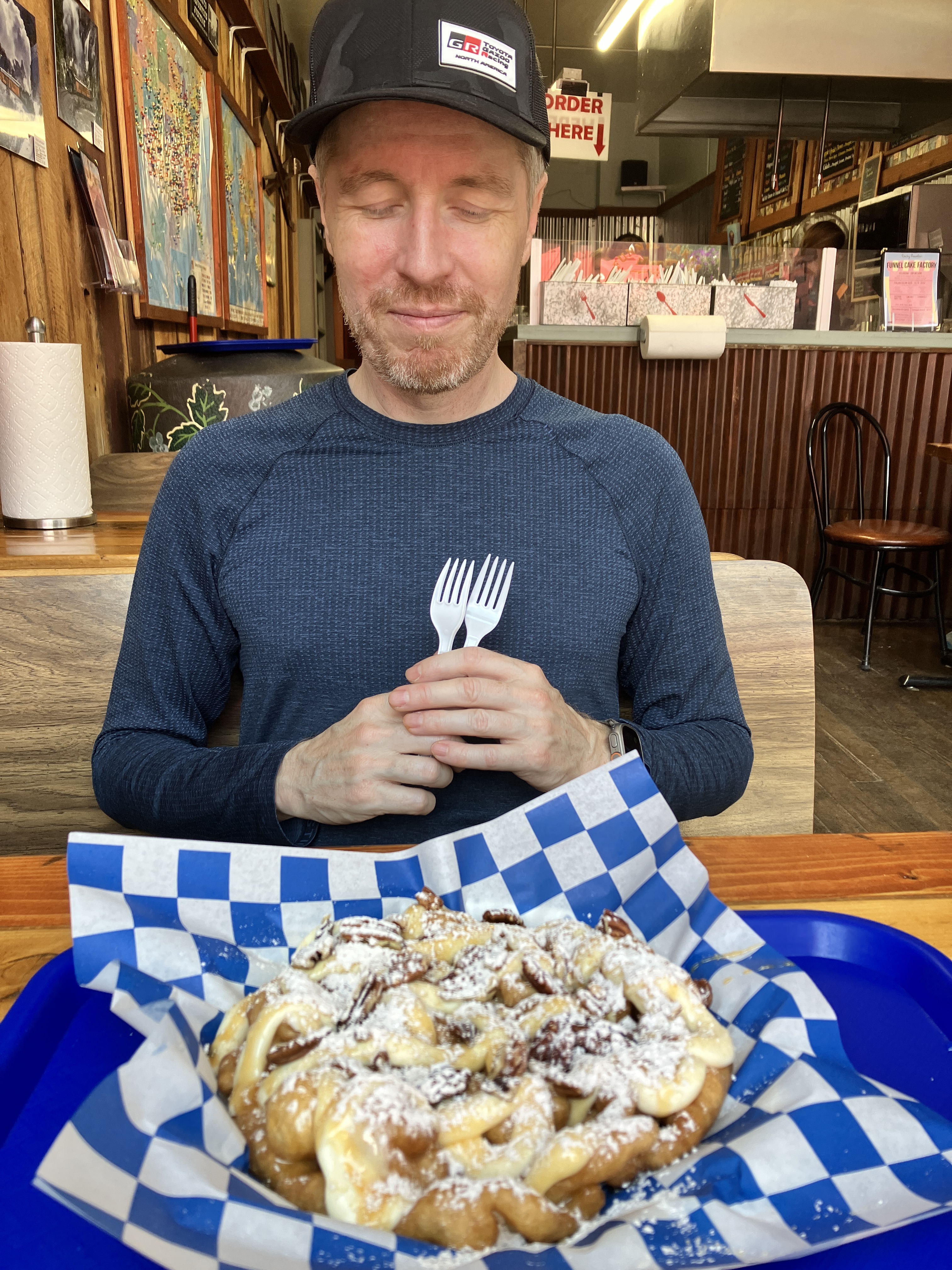
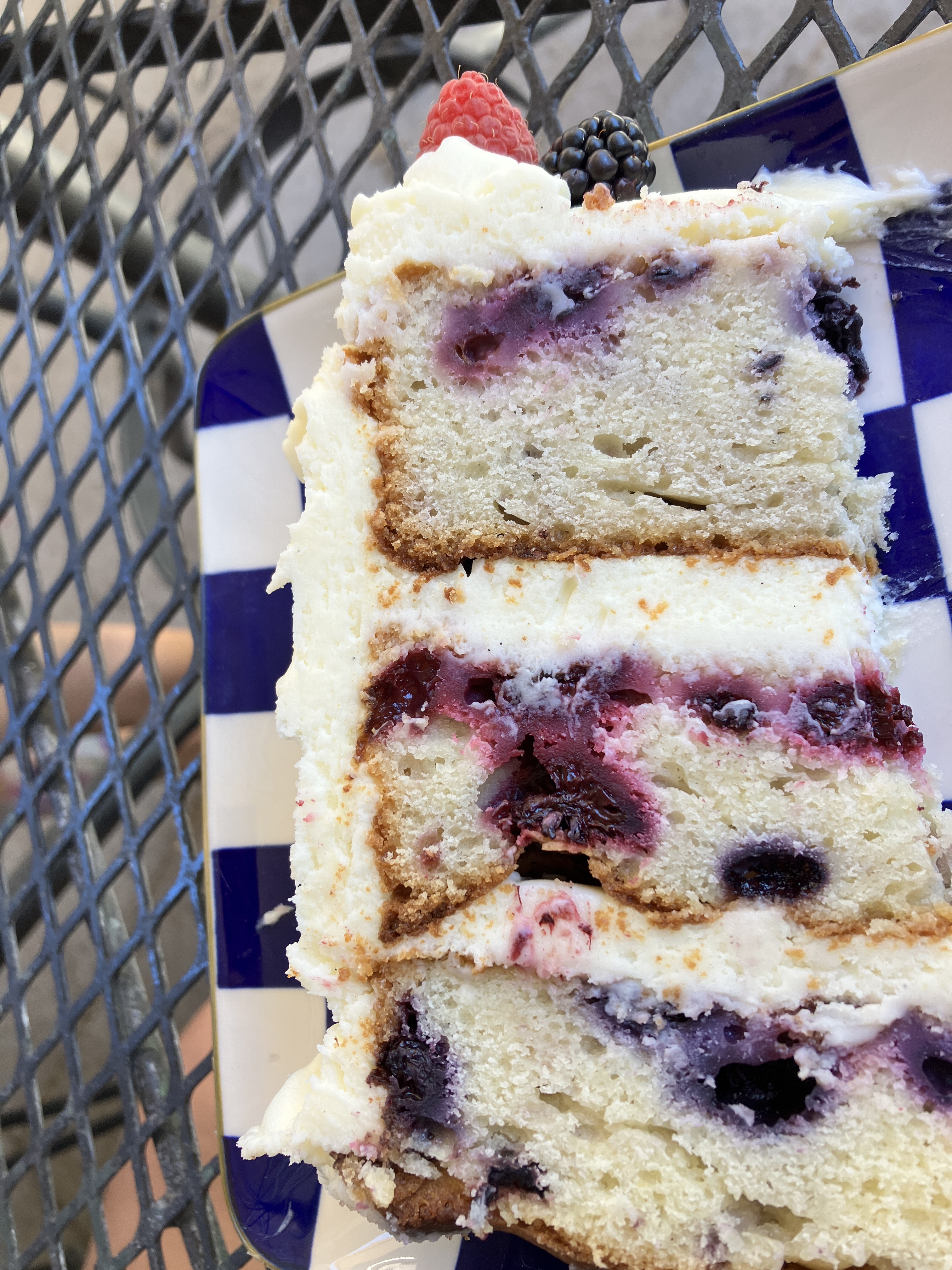
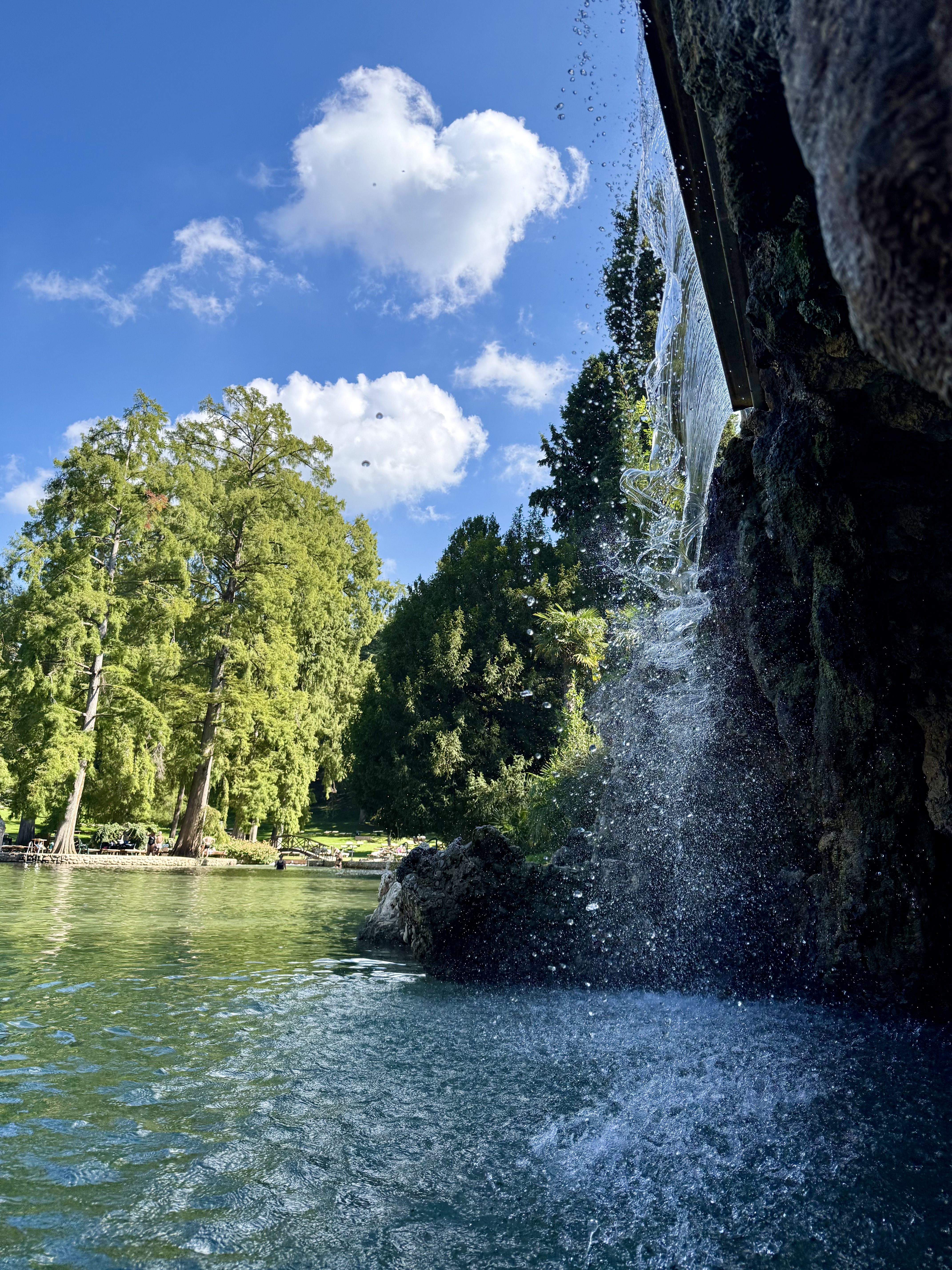
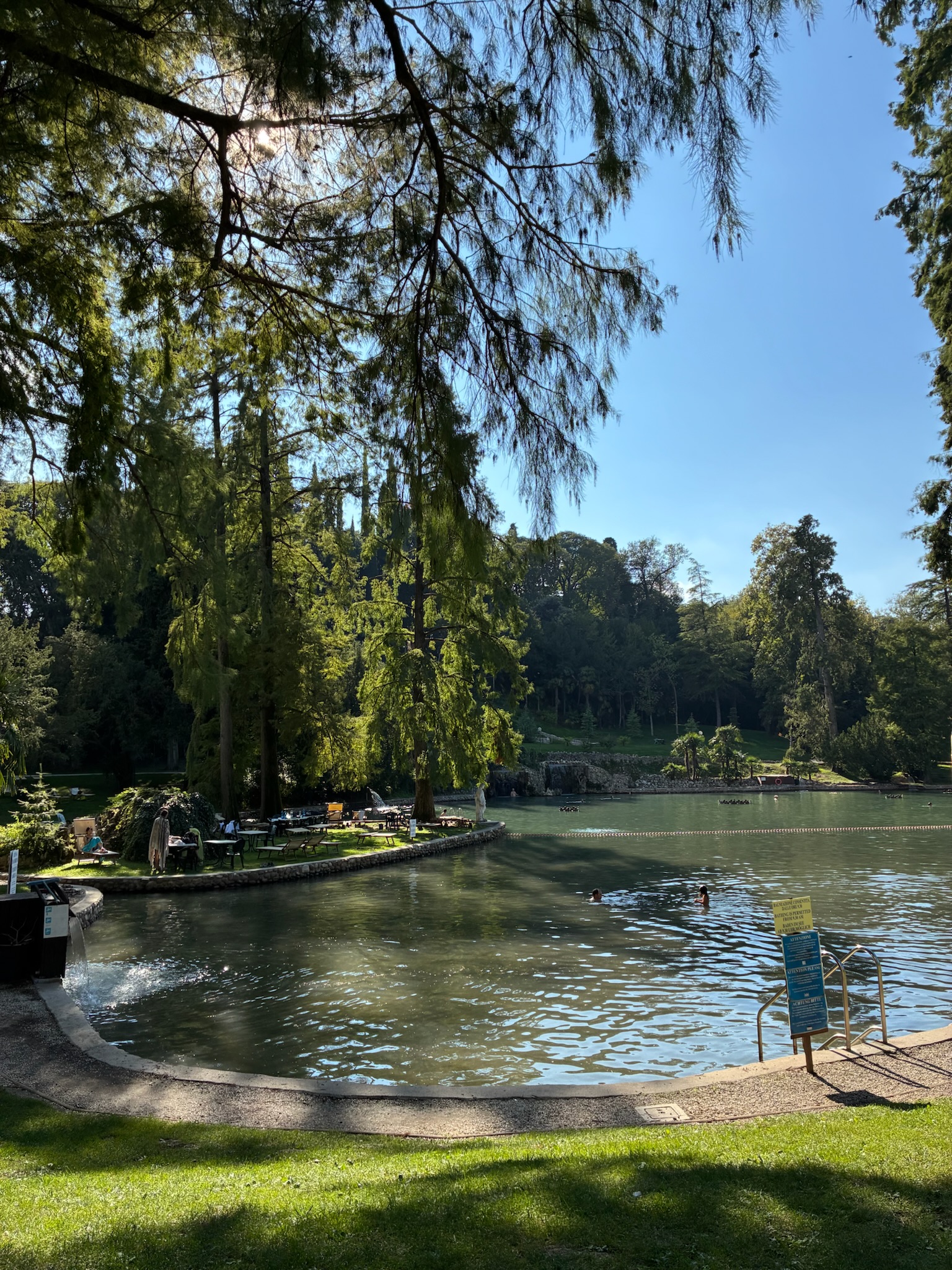
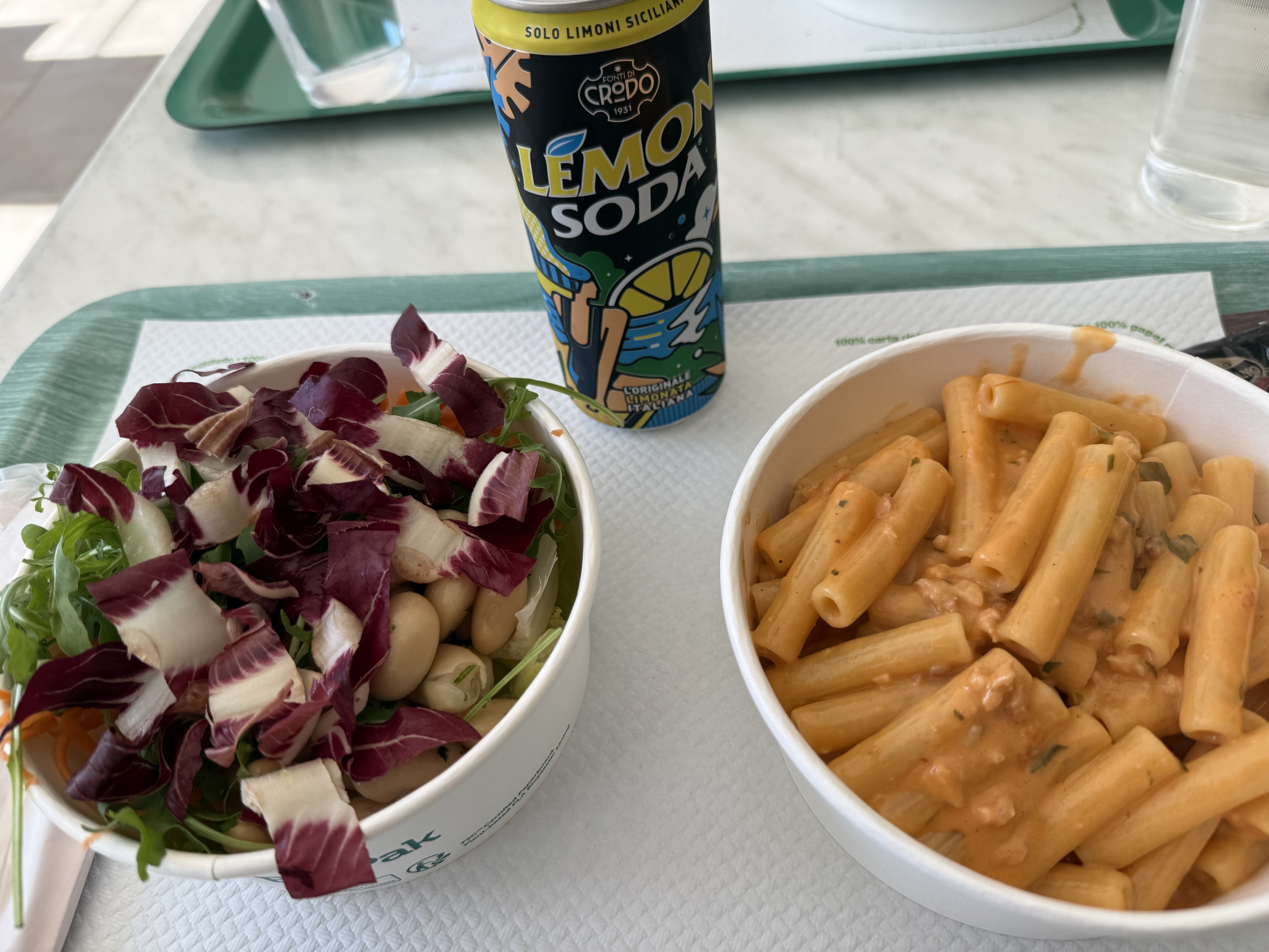
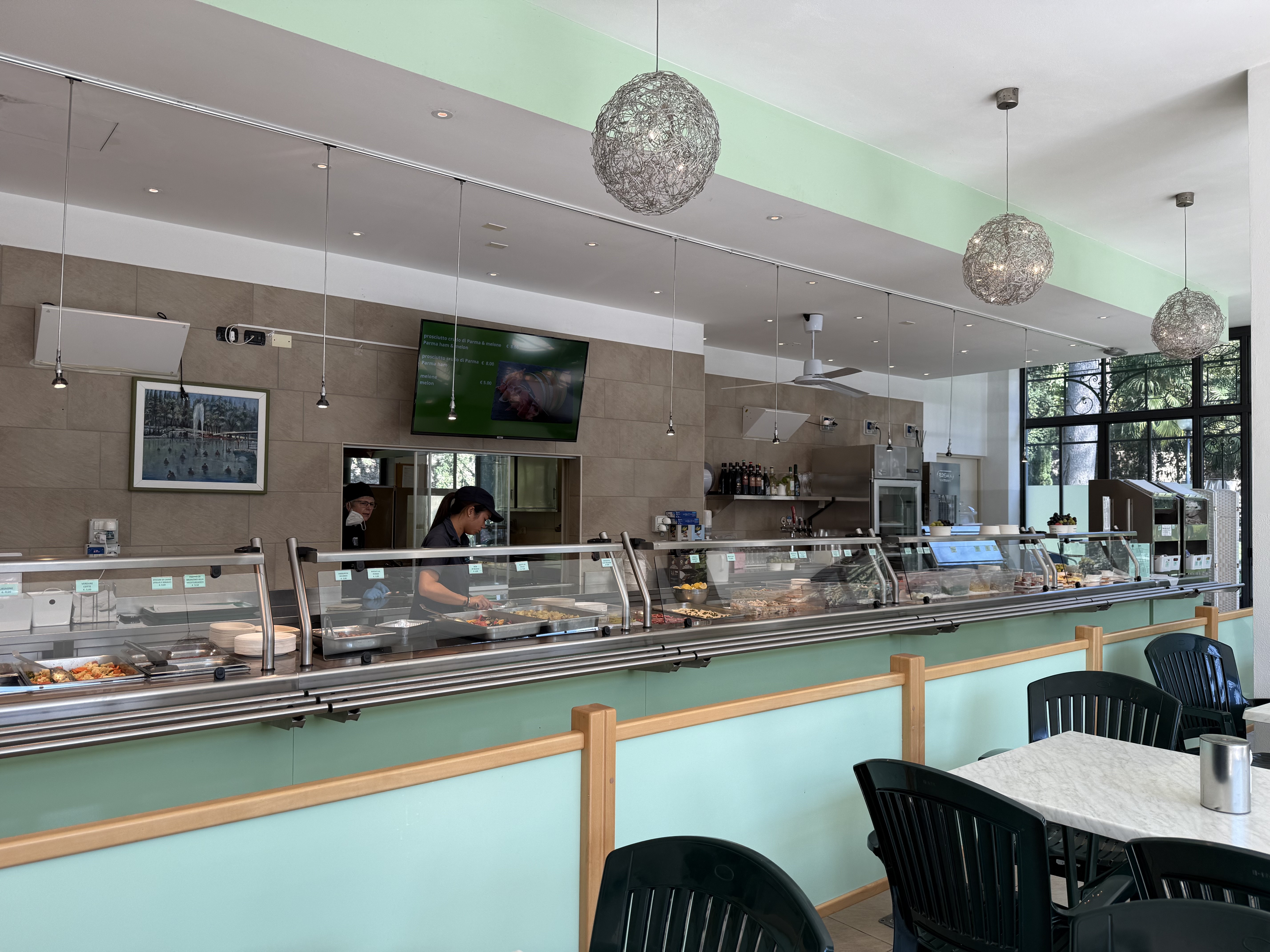
For our last full day in Italy, we thought it would be fun to visit a hot springs park. Parco Termale del Garda featured a large “lake” with a large manmade cave, both of which are in the middle of a public park. The lake itself is cool, but there are contained areas, like hot tubs, that had hot water. These hot spring parks are popular with families and I can see why! One really interesting thing is the cafeteria food; unlike American cafeteria / concession food, which largely consists of such delicacies such as burgers, fries, hotdogs, and nachos, Italian cafeteria food is….amazing. Fresh pasta, salad bar, fresh fruit, pastries….

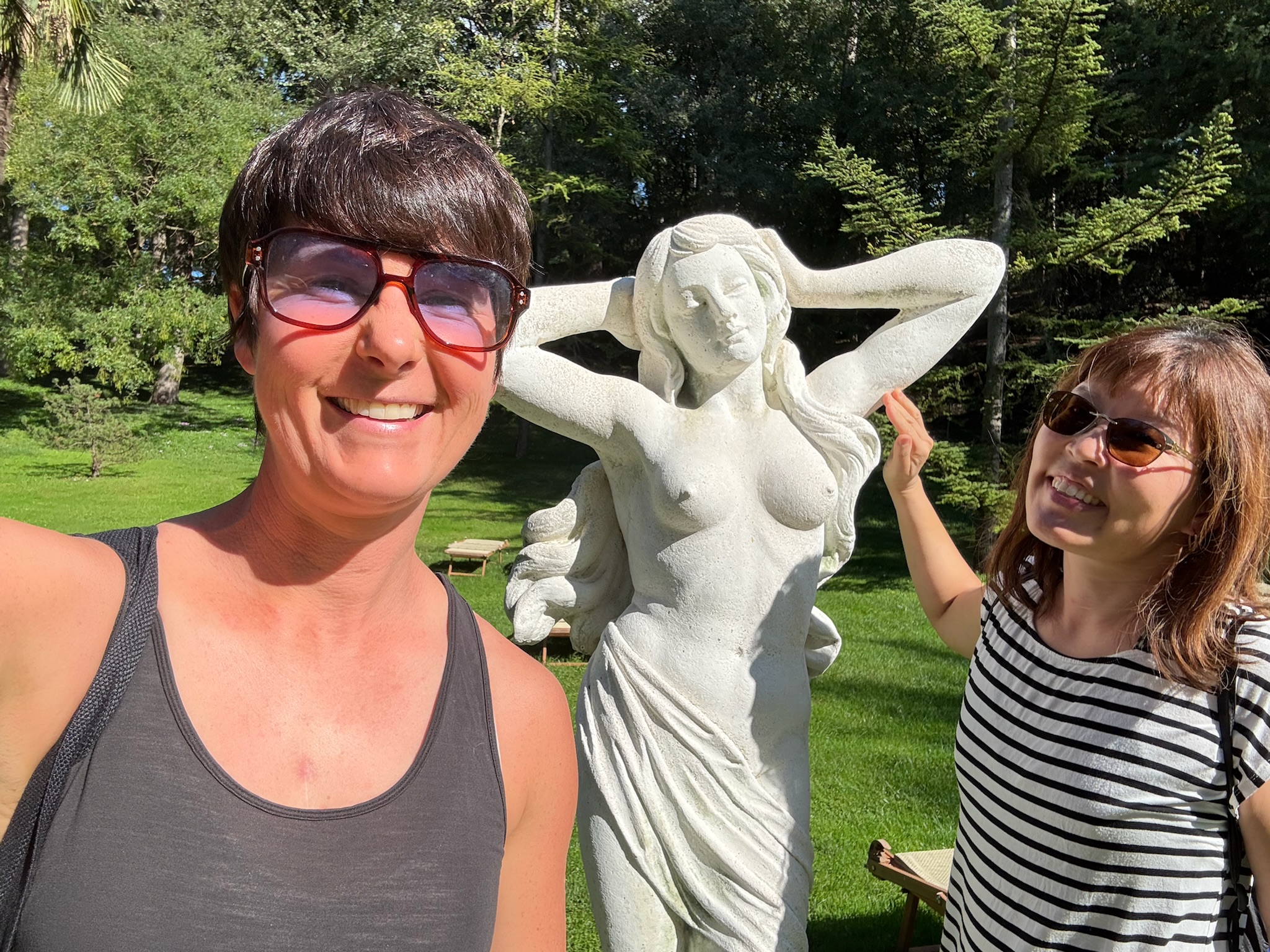
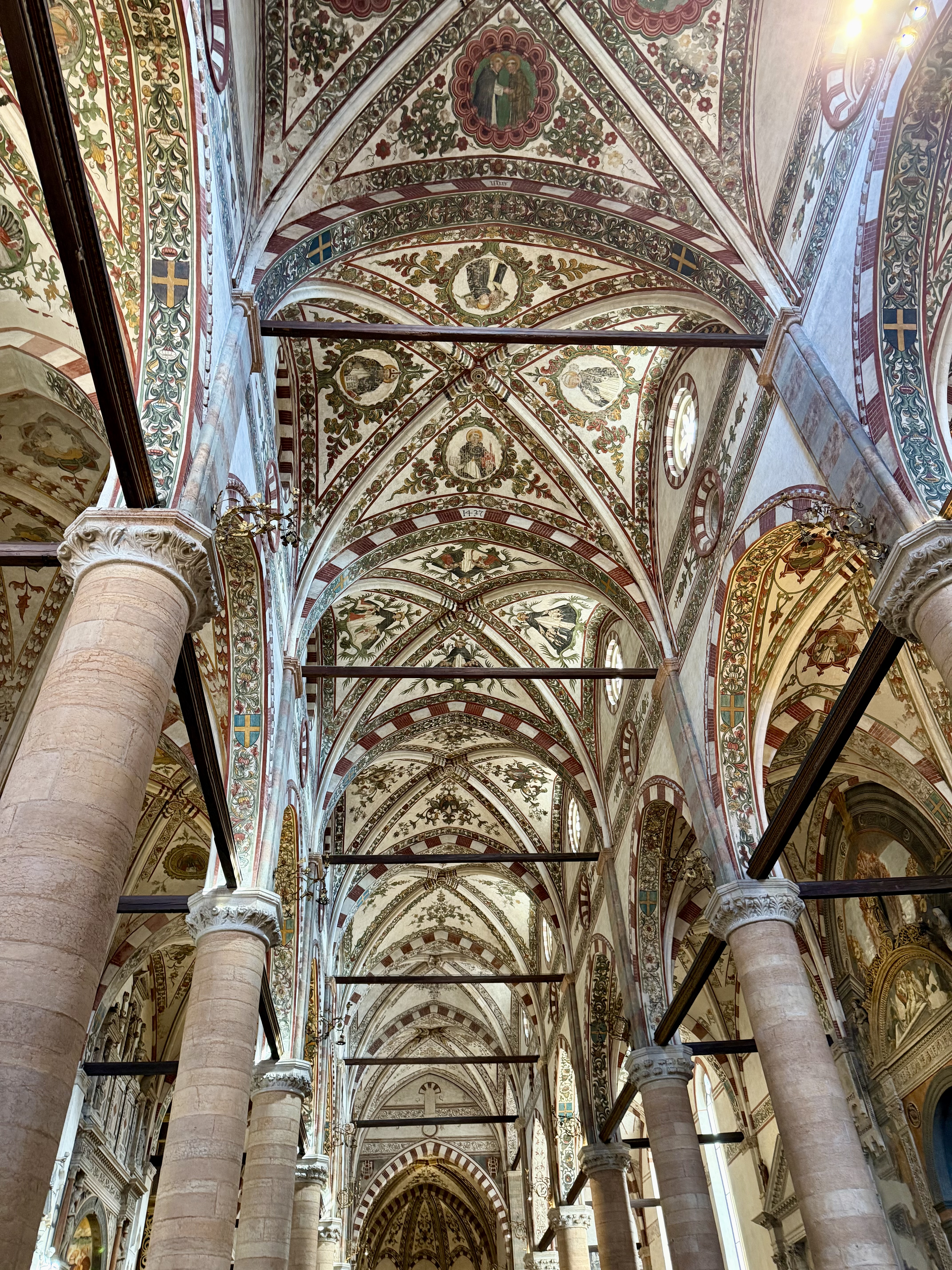
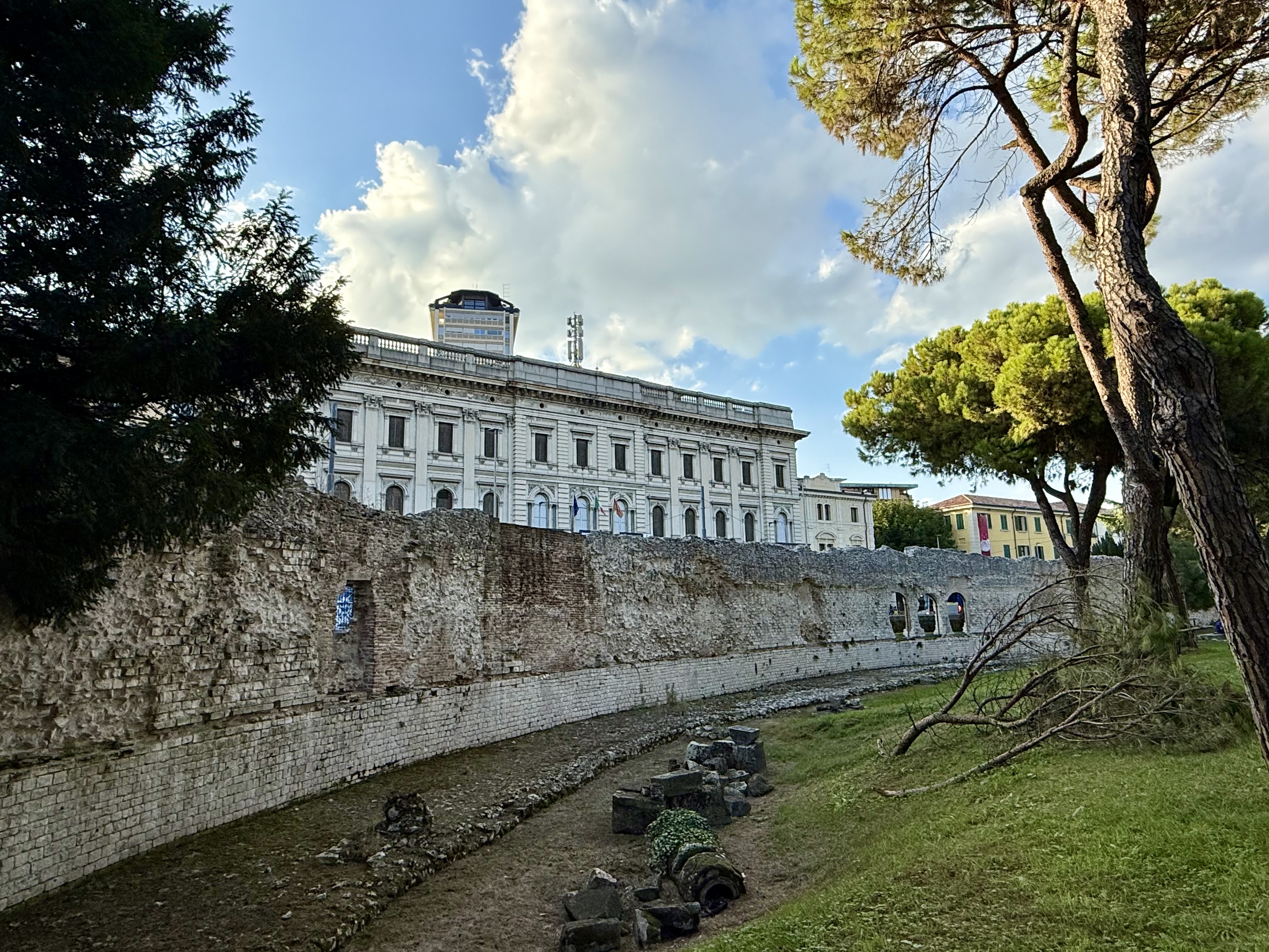
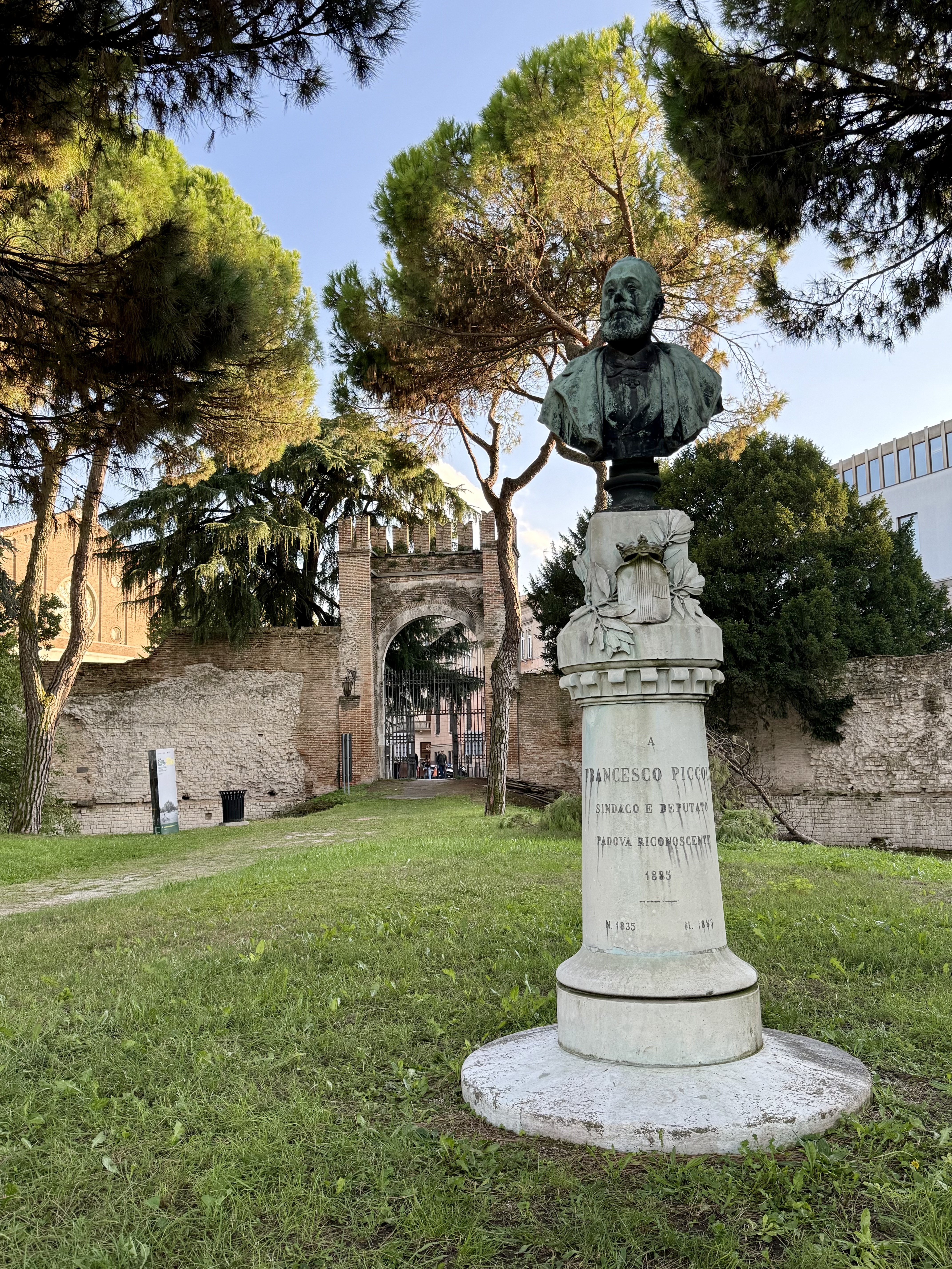
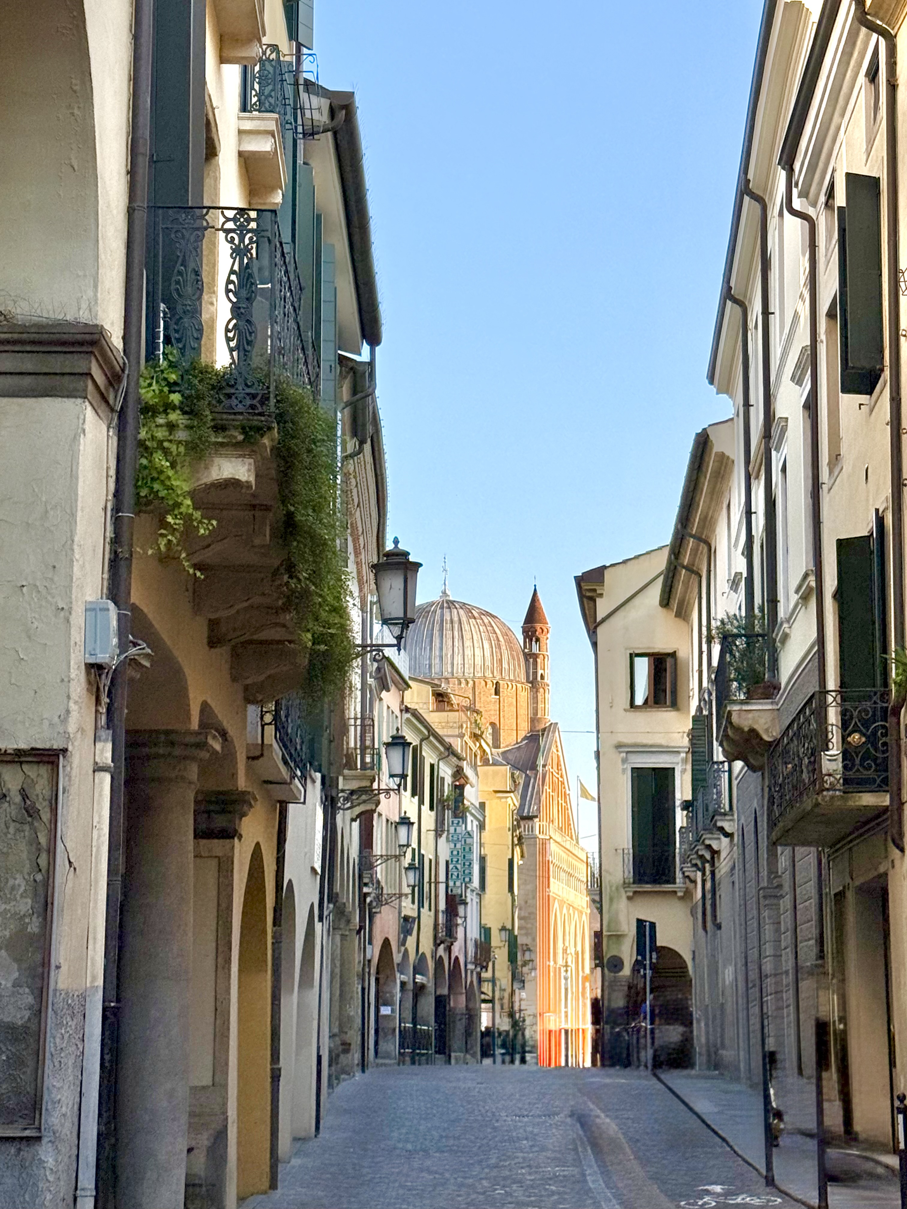
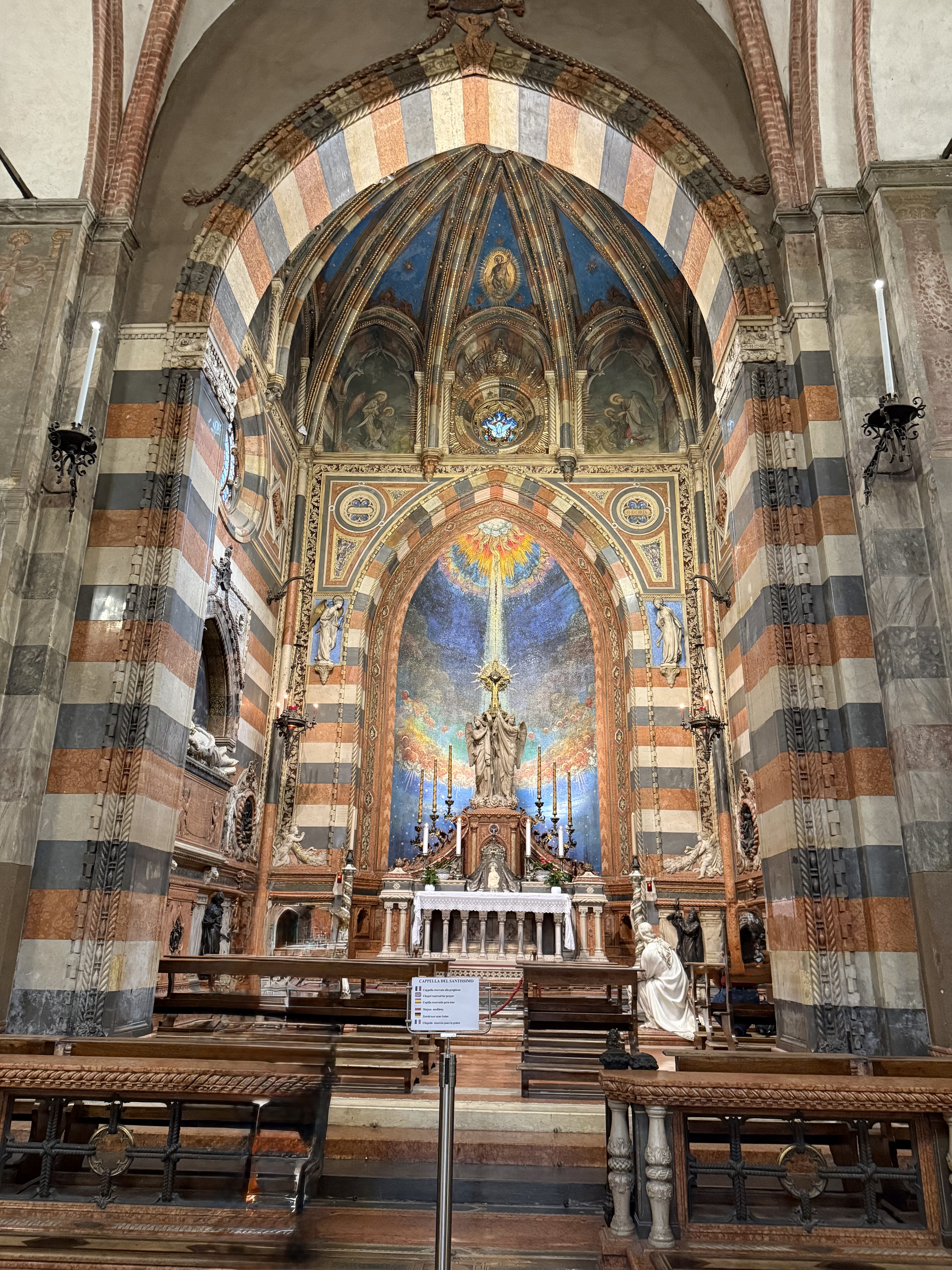
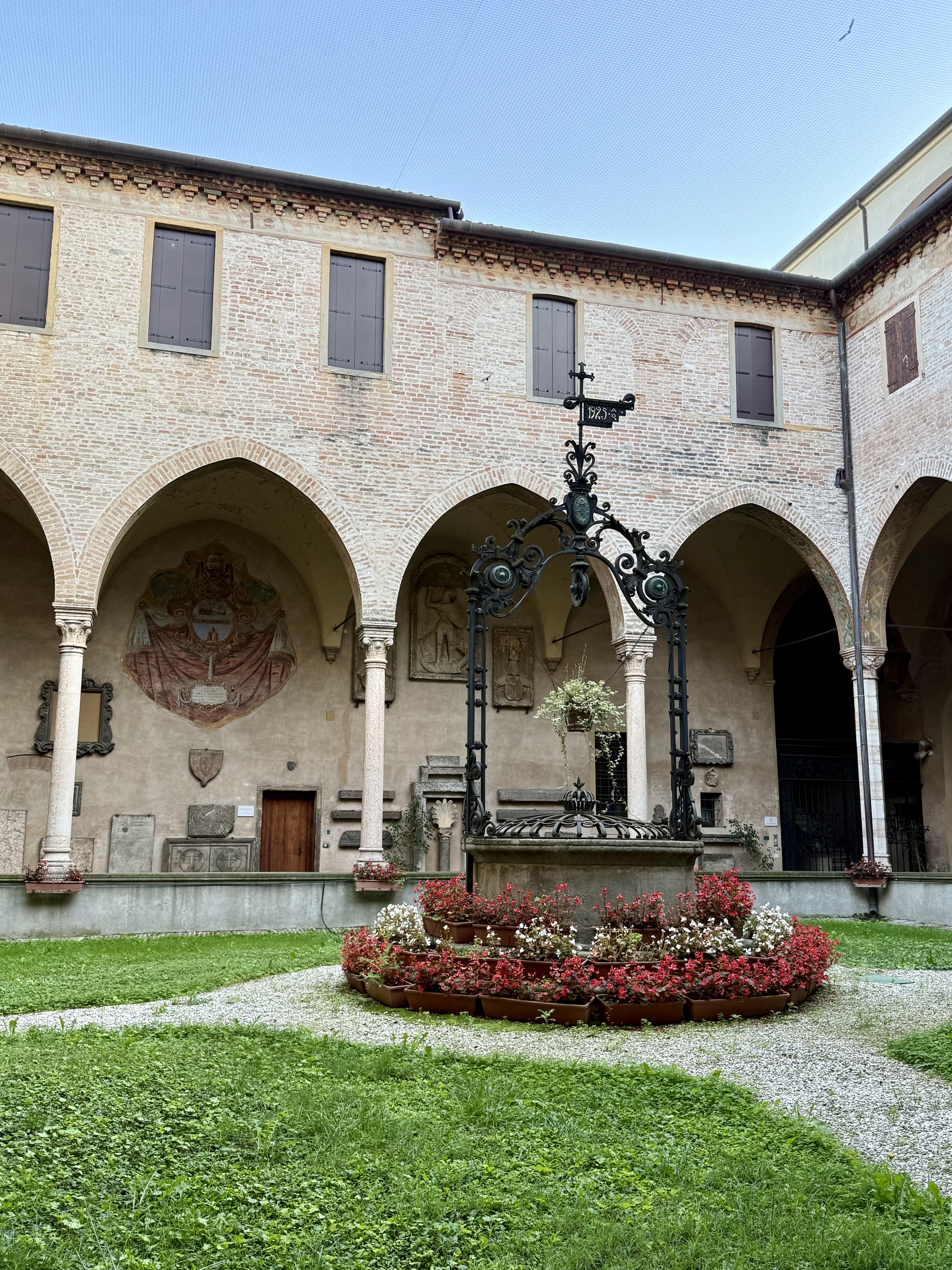
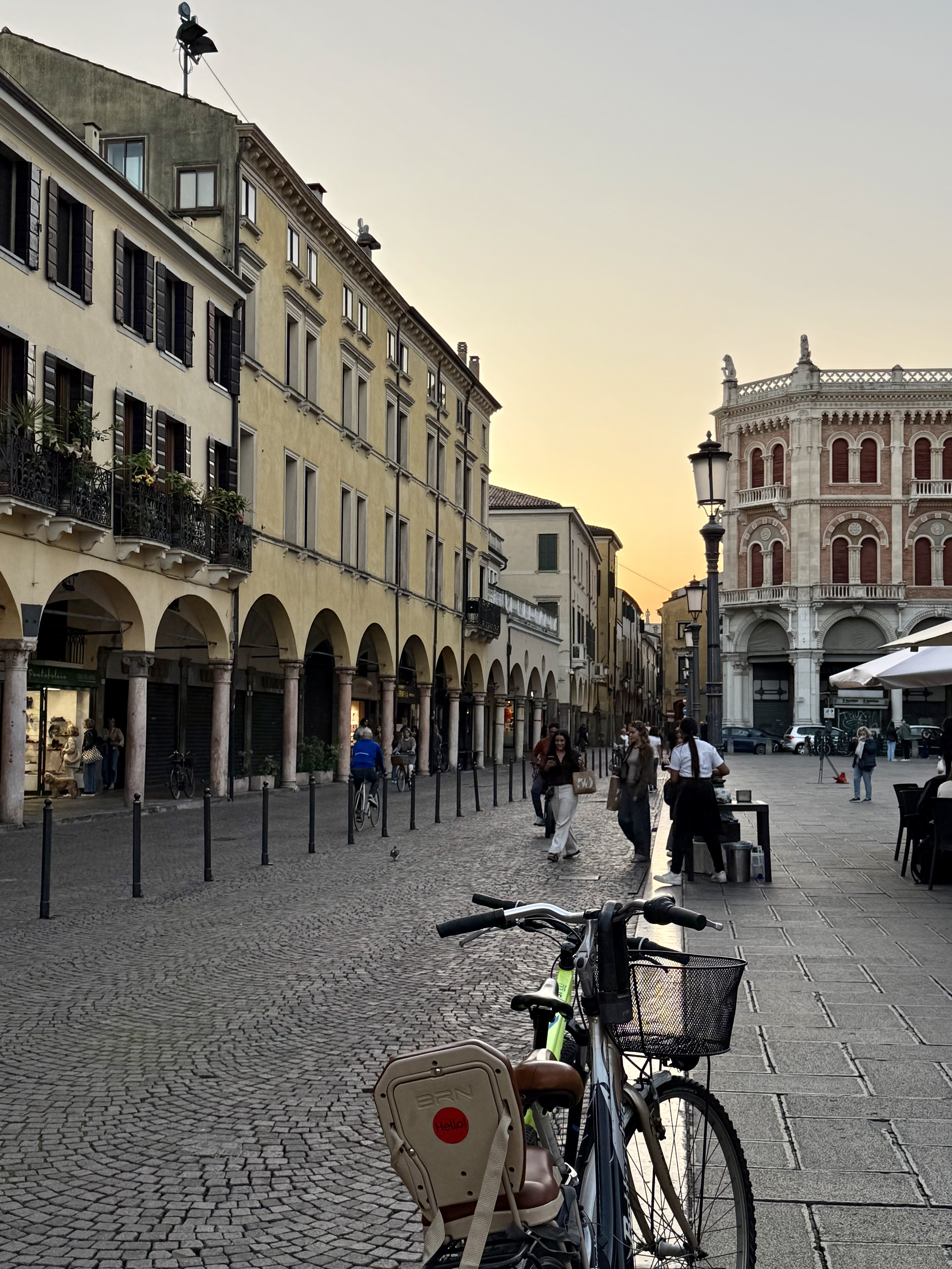
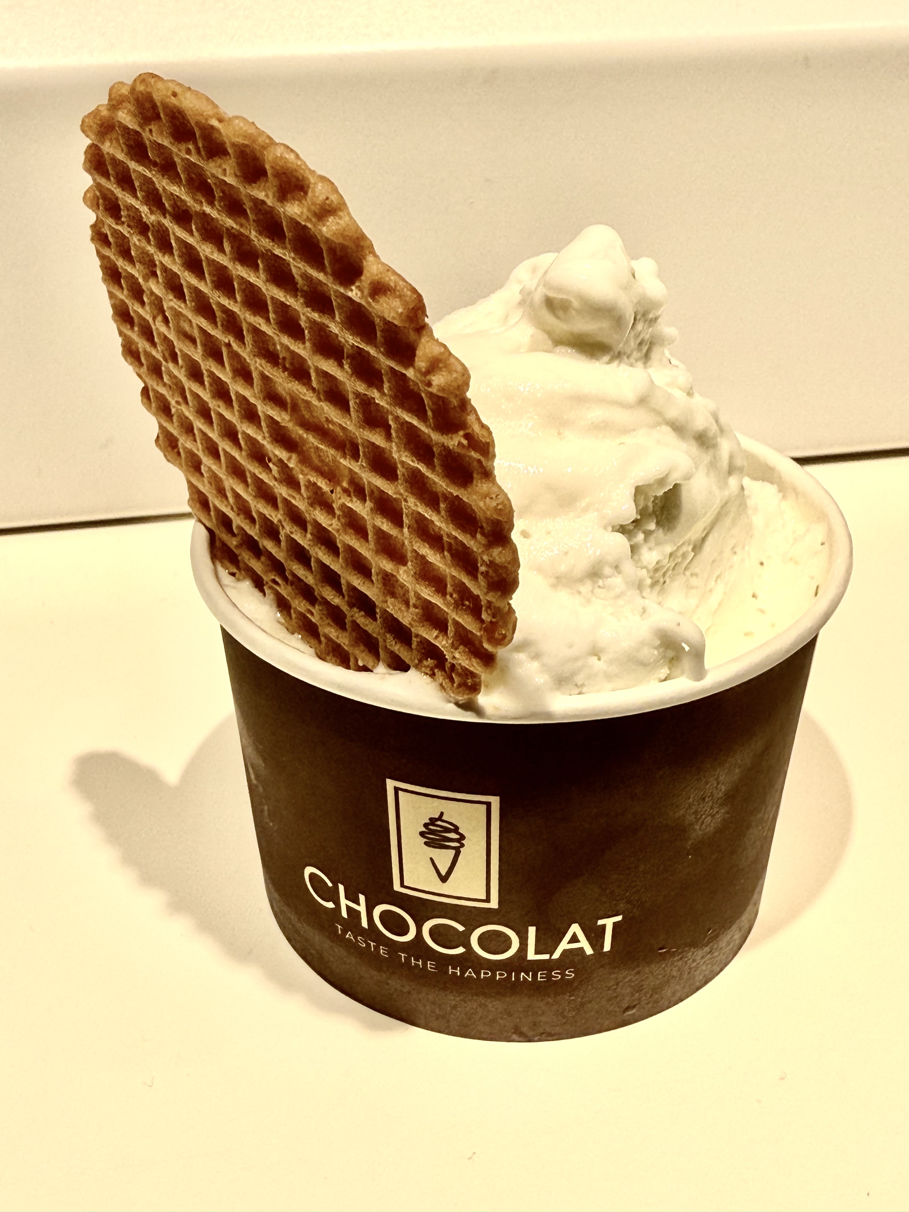
After a very relaxing morning, we drove to Padua (or, Padova, as the locals call it). Padua is known for the University of Padua, founded in 1222, and the Basilica of St. Anthony, which is a prime example of a Byzantine-style architecture. Walking around the historic city center was really cool and I enjoyed soaking in the history and culture. We ended our day with more gelato!

Tuesday September 30, 2025

Sadly, we had to fly back home today. I’m so glad I went and definitely want to return. Arrivederci, Italia, e grazie mille!

Mid-year recap, part 3/3

So far, July has been the most memorable month this year in terms of travel and adventure, which is why this post is V E R Y long! I’ll talk about 2 trips in this blog: Colorado and Angelfire. First, my SAT (self-appointed trainer, a.k.a. “The Husband”) and I did our annual week-long Colorado trip at the beginning of the month. Unlike last year, this year, we headed up to Leadville to try and acclimate to the high altitude in order to hike Mt. Elbert a couple of days later. (Spoiler alert: 2 days is not enough time to fully acclimate to high altitude!) Mt. Elbert is the highest point in the state and is one of the Colorado 14ers (peaks higher than 14,000 ft or 4,267 m). I really wanted to hike Elbert because I missed out on hiking a 14er last summer. I thought hiking up to the highest point in Colorado would make up for NOT hiking any 14ers last year!

Mt. Elbert is considered one of the “easier” 14ers to hike because there is a well-defined trail all the way to the top. However, it is not easy because you are hiking at high altitude, which affects your breathing. My SAT and I didn’t do too badly; our plan was to hike continuously (and slowly), stop for brief breaks every 45 minutes, and take in the amazing views. According to my Apple Watch, we hiked almost 10 miles (16 km) and gained 4,600 ft (1,400 m) in elevation in just under 6 hours. Not bad! The weather was beautiful and we only started to see storm clouds at the very end of the hike.

The next day, we drove over to Grand Junction and stopped at the Colorado National Monument. This national site is a beautiful area boasting monoliths (upright stone structures), red rock, canyons, and panoramic vistas. I kept on thinking that the CNM is a blend of the Grand Canyon, Red Rock Canyon in Las Vegas, NV, and Moab, UT. We drove the 23 mile scenic drive and enjoyed seeing the changing landscape. We also saw a big-horned sheep! So cool. If we had more time, we would have done a hike or two….perhaps next time.

When we finished the scenic drive, my SAT was REALLY curious about what the other side of the valley was like. So….we drove across the valley to what I learned later is the Douglas Pass viewpoint. We drove along highway 139 from Loma towards Rangely. The road got pretty steep and twisty in some parts, but was otherwise smooth. The views from the top of the pass are also pretty wonderful.

The next morning, we did a mountain bike ride in Grand Junction. This place is a very mountain bike friendly town! There are tons of trails and what we rode is but a tiny fraction of what the area offers. The scenery is again stunning and reminded me of riding in Las Vegas or Moab, with the colours of the rock and the vegetation. We rode some of the “Lunch Loops” trail system and it had steep climbs, swoopy downhills, some technical challenges, and great views. Definitely something for everyone!

After we finished our ride in Grand Junction, we headed over to Durango to our Airbnb. (We stayed at the same Airbnb as last summer, mainly because of the 2 adorable doggies, Hank and Hannah!) Along the way, we stopped at a few spots to take some pictures because the drive was just so pretty. We got to drive along the famous “Million Dollar Highway” again, like last year, but this time, we approached it from the north. Doesn’t matter which direction you take that highway because it’s all beautiful!

After a leisurely breakfast, we made our way into Durango and to the Twin Buttes trailhead, which turned out to be a dirt parking lot slightly out of town along highway 160. The weather was cloudy and it looked like it was going to rain, so we weren’t sure if we should do the entire planned route. But, we decided to go for it and kept pedaling our way up into the forest….then had to take shelter a couple of times when it started raining pretty hard. After waiting out the rain, the skies cleared up and the rest of the ride (which was downhill!) was pretty fantastic. There was lots of fun flowy riding and even a cool wood feature near the end of the ride (a very steep downhill ramp…which I did!). I would definitely ride the Twin Buttes loop again.

And too soon, it was our last day in Colorado. We decided to ride the well-known Engineer Mountain downhill. My first thought was “what shuttle are we taking?” My second thought was “how long will it take to get to the start of the downhill?” Unfortunately for me, my SAT’s answers to my 2 questions were “we are going to self-shuttle!” and “as long as it takes us.” Have you heard of a self-shuttle? It’s kind of what it sounds like. In our case, instead of paying a shuttle van service to drive us to the start of the trail, we parked our truck where we would end the ride, then rode our bikes uphill on highway 550 for 4.5 miles (a single lane highway with no shoulder and some exposure!) to Coal Bank Pass. Then, from there, we started riding uphill on the Pass Trail for another 2 miles or so. I think we climbed almost 2,800 ft (850 m) AT ALTITUDE before we finally made it to the start of the downhill. Although a 2,800 ft climb is a very respectable mountain bike climb, doing that at altitude made it really hard. At least for me.

BUT….that downhill was worth the miserable climb. We had perfect weather and the COLOURS. SO MANY WILDFLOWERS. Add in blue sky, puffy white clouds, gorgeous white barked aspen trees, green Alpine meadows….it was like the world had been coloured in the brightest shades of Crayola crayons.

—————————————————————————————————————————————

A couple of weeks later, we joined some friends to do some “gravity fed” riding (i.e., downhill bike park) in Angelfire, New Mexico. The Angelfire Bike Park is the first bike park at which I’ve ridden, so it will always have a special place in my heart. 😀 We were only there for 2 days and planned on riding at the park on the first day, then “waiting and seeing” to decide on what we’d do on the second day. It rained really hard when we got to Angelfire, so the first couple of downhill runs we did were somewhat muddy. Things dried up pretty quickly, which made it easier to pump out more runs. However, because we were in monsoon season, it started to rain again in the afternoon, which meant the chair lift stopped taking people up the mountain. (At Angelfire, if the lift operators observe lightning, they stop the lift for 30 minutes. If there’s no more lightning, the lift will start up again. If there is observed lightning before the 30 minutes is up, then the clock restarts. Safety first!) Since the lift stopped early on our day 1, we all went back to our Airbnb’s, cleaned up, then reconvened at my Airbnb to have dinner together. Over dinner, half of us decided to set up a shuttle (that word again! This time, it meant 2 people driving their respective cars to the end point of the trail, then driving back together in one car. In the morning, we’d all pile into the one car to the start point, start riding to the end, then pile into THAT car back to the other car, after which we all go home) to do the South Boundary Trail (SBT) the next day.

The SBT is considered a classic New Mexico route that is a must-do. Overall, I enjoyed this ride and although it wasn’t as pretty as Engineer Mountain, it was fun to practice my singletrack riding and experience more of a backcountry trail. We only climbed about 1,100 ft (335 m) in total, but descended about 4,000 ft (1,220 m)! I thought the last 3 miles of this 20 mile route were the most interesting because it was the most technical: loose, rocky, steep with some sharp turns. I definitely had to stay focused because it would’ve been easy to slip, lose traction, and go “over the (handle)bars.” Up until the last 3 miles, the terrain is fairly smooth. I was a little disappointed that the SBT didn’t have any good viewpoints, like Engineer Mountain did. But there was still beauty to be found in some of the flowers, the aspen trees, and many butterflies. I’m glad I did the SBT and satisfied that that was my second day of riding in New Mexico this weekend!

And that brings me to the end of the recaps! Thanks for reading and I hope you’re all enjoying your respective summers!

Mid-year recap, part 2/3

Continuing with my 2025 recap! In April, I took a quick trip to Victoria, Canada to visit my brother and his family. I found it really interesting that I got an empty row on both my inbound and outbound flights! Amazing. 😀 Victoria is such a pretty city! Its roots go back to England and you can see many British influences all around the city, including FLOWERS, tea shops, and gardens. I enjoyed hanging out with my family, visiting cool coffee shops and bakeries, and taking long walks to enjoy all the lovely flowers.

In May, I did 2 fun day trips. The first one was to (finally!) ride at Bean Peaks in Prescott. This is a fun trail system that is modeled after conventional bike parks. That is, most of the trails are “gravity fed,” i.e., downhill! The main difference is that in order to get to the downhill trails, you have to pedal your way up, instead of taking the chair lift up to the top. Bean Peaks is great for all riding levels, as the trails are flowy and smooth. I had a fun day with my friends Janey and Keeley and we appreciated getting out of the Phoenix heat and riding new trails.

My second May day trip (ha, that sounds funny!) was a hike at Horton Creek with my friend Kate. Horton Creek is quickly becoming one of my favourite areas to visit because it is just so pretty and features a waterfall! We had a gorgeous day and basically had the area all to ourselves. Kate’s dog, Jasper, also had a great time running circles around us and checking out all the foliage. The hike itself is a pretty mellow 8 miles with enough elevation gain to earn a decent lunch. 🙂

In June, I went on another 2 day trips. Phoenix starts to really heat up in June, so getting out of town is welcome relief. Last year, I rode the Full Sail trail in Flagstaff for the first time and it was so fun, I knew I had to ride it again soon. However, “soon” turned out to be “a year later,” due to schedules and availability. This year, I got to show Janey Full Sail and we both had a blast riding a well designed downhill trail! The uphill riding to get to the start of the downhill wasn’t too bad, since we parked at a different trailhead than where I parked last year. That was a good move on my part because we “only” had to ride uphill for 3 miles instead of 8 miles and could do laps. Beautiful day with good company!

Ah, Humphreys Peak. I’ve hiked Humphreys annually for almost 10 years! I normally hike this with my friend Crystal (for example, see this post), but this year, she couldn’t make it. So, my SAT (self-appointed trainer and husband) joined me this year and we used the opportunity to make this hike our one and only big training hike for our upcoming Colorado trip (more on that in the next blog post!). For the uninitiated, the Humphreys hike is about 10 miles (16 km) round trip in distance and around 4000 feet of gain (1200 m). Because my SAT and I have high altitude hiking experience, I knew that we wouldn’t be adversely affected by altitude sickness. However, since we weren’t in top hiking shape, I wondered how we would withstand the day. (We were fine!) Our hike was great, weather was perfect, and we got to escape the Phoenix oven for a few hours, which is always a treat in summer!

Thanks for sticking with me so far! Here’s a bonus picture of a pretty sunflower to end this installment of my midyear and the first half of 2025. Stay tuned for the third and final installment of my midyear recap!

Mid-year recap, part 1/3

Hello, dear readers! I say this every year, but….really….THIS year has gone by SO FAST! I am yet again woefully behind on updating this blog, but I shouldn’t complain because I get to do some cool, fun things. Let’s jump right into recapping 2025!

January in the desert is lovely. It’s cool and one can get outside whenever one wants. Unlike summer in the desert, in the winter, there’s no rush to get outside at dark o’clock in the morning to “take advantage” of the “cool weather” at 5am. Most of you know that I am NOT a morning person and prefer to get as much beauty sleep as possible! 🙂

I started 2025 with a fun ladies’ theme ride: New Year’s sparkle! The next major event for me this month was a local, homegrown mountain bike festival called Hawesfest, which took place at the Hawes trail system in east Mesa. I volunteered at the Hawesfest “kitchen” with my friends Vicki, Tawnia, and Scott and we worked our buns off (pun intended) ensuring that all Hawesfest riders got lunch!

February’s trip was a weekend getaway to Bisbee, AZ. I’ve wanted to visit Bisbee for a long time because of the artsy vibe to the town and the famous “Bisbee 1000 Stair Climb.” My SAT (self-appointed trainer) and I hiked the Stair Climb race course and had a fun time finding all 9 staircases. Another cool thing to do while in Bisbee is to drive over to Erie Street, which has been preserved as a quasi-museum of classic 1950’s cars and storefronts. In between all the hiking and sightseeing, we enjoyed some great food, some of which was at Cafe Roka. 10/10 recommend!

March is birthday month! My annual Sedona birthday weekend this year turned into “Snowdona” because of a huge dump of snow that weekend. However, that snow only dampened our boots (and not our spirits). We pivoted our plans to include more hiking and less mountain biking, due to the very muddy trails, and took advantage of our amazing Airbnb to cook and eat lots of yummy food (including birthday cake!) and spend some quality girl time. Fun fact: this annual birthday weekend celebrates 5 of us!

A couple weeks later, I got to hike Picketpost Mountain with my friend, Gladys. This is a hike I’ve been wanting to do for a long time and the stars finally aligned for Gladys and I to hike this fun trail together. She is very knowledgeable about the trails and hikes in the Superstition Mountains and I felt very lucky to benefit from her guiding expertise! Just take a look at the views from the top! Although the trail isn’t long, there is enough uphill to make this hike a great workout. I enjoyed the scrambling near the top and loved soaking in the views at the top.

Stay tuned for a couple more recaps in the next week! Until then, get outside. 🙂

7 summit hikers…and a battleship in the desert

Merry Christmas and happy holidays to all of you! How is it the end of 2024 already? The past month has been packed with work stuff, holiday events, and fun outdoorsy things, which is why I’m tardy again in updating this blog! First up, a recap of my now-annual DIY 7 Summit Challenge which occurred on December 7. This year is the 6th year that my hardy crew of hikers have tackled the Herculean task of completing 7 hikes in one day. My DIY event is based on the official 7 Summit Challenge put on by Phoenix Parks and Recreation but without the entry fee! Like last year, all 7 hikes were at South Mountain to help minimize the driving time. Of the 16 hardy hikers that started the day, 5 stuck it out till the end and completed all 7 hikes for a total distance of 21.7 miles (35 km) and total elevation of 5,124 ft (1,561 m). We started the day at 6:32am and ended at 5:21pm, which meant that we took 10 hours and 49 minutes to hike all 7 hikes. This is almost exactly one full hour faster than last year! Here’s a photo dump from the day–enjoy!

~~~~~~~~~~~~~~~~~~~~~~/////////////////~~~~~~~~~~~~~~~~~~~~~~

One hike I’ve been wanting to do for a while is Battleship Mountain. I finally got the chance to do this the week after my 7 summit day, which was great timing, as I was in good hiking shape! So glad that my friend Gladys was our hike leader, as she is very familiar with the area and the hike itself. The Battleship hike is in the Superstition Mountains east of Phoenix and is rated advanced, mainly due to the “scrambling” involved. According to my Strava statistics for the hike, we hiked 12.47 miles (20 km) and climbed just over 2,600 ft (800 m). The first 4.5 miles are relatively flat and crisscross a creekbed multiple times. Then, you’ll see some rock cairns that mark the point where you start climbing towards the Battleship rock formation. The views are incredible! Totally makes the climb worth it! It was an epic hike with great company and I’m so glad I got the opportunity to do this. Enjoy these pictures!

We can handle anything for 24 hours!*

Throwback to my race earlier this month: I saw my Good Samaritan, Bev, at Phoenix’s Pivot Sunset Shred ladies’ ride last week! The Sunset Shred is always a good time and proceeds go to a worthy cause. This year’s recipient of the Shred’s proceeds is the Hawes Trail Alliance, which is super cool because the HTA is a local organization that develops and maintains trails in the Hawes trail system. I always have a great time riding at Hawes and hopefully the proceeds will help the HTA do more of its great work!

Another cool element of a Sunset Shred ride is the opportunity to demo a bike. I decided to test ride an electric bike (or, “e-bike”). I rode a Pivot Shuttle LT (the “LT” stands for “long travel”) and WOW, it was pretty amazing to climb up trails without breaking a sweat or breathing hard! I’m not looking for an e-bike now, as I just got a new bike last year and it is a fantastic bike! But…it sure was fun motoring up the climbs on that e-bike. 🙂

The best element of a Sunset Shred ride is the company. Riding with other like-minded lady riders is always a fun time!

——————————————————

*Now to the “24 hours” part of this blog post….last weekend, a few of us decided to do an overnight backpacking trip. We picked Horton Creek for our “slumber party in the woods” and monitored the weather forecast closely. Unfortunately, the forecast indicated lots of rain and cold temperatures. However, we were undaunted and kept saying that “we could handle anything for 24 hours!”

This backpacking trip was only my 3rd one ever (the last time I went was over 10 years ago!), so obviously, I’m not very experienced. I was reminded again of how much STUFF is involved when backpacking: backpack, tent, sleeping bag, sleeping pad, clothing, food, water, headlamp, etc. Thankfully, a couple of my friends had Jetboils (i.e., portable stove) and we shared tents to reduce the gear we had to take.

The weather was cold that weekend; the high temperature was in the high 70s F (23C) and the low temperature was just above freezing (about 40F, or 5C). It did rain for the first half of the hike, then hailed for a few minutes, then cleared up. The Horton Creek hike is not a difficult one: it is about 8 miles (13 km) out and back and the elevation gain is around 1500 feet (457 m). I didn’t notice the climbing, even with my backpack on. I DID notice my shoulders aching a bit, due to the backpack!

The “slumber party” was still fun and I really enjoyed being out in nature, having good conversations, eating and sleeping outside, and seeing stars (no light pollution!). I would definitely do another backpacking trip and yes, will TRAIN for it!

Colorado is pretty! Part 2 of 2.

And the fun continues…..

Day 4: Today, we were in Purgatory. Literally. We bought lift tickets for Purgatory Bike Park and planned to ride as many downhill runs as possible. However, the park doesn’t have a lot of runs (i.e., “trails”). Purgatory has a lot of potential to be a really good bike park, but that requires money and it doesn’t seem like that is a priority for the park planners. Skiing seems like more of a priority at Purgatory. I did learn that back in the late 90’s and early 2000’s, Purgatory hosted some World Cup downhill races and the bike park was a destination location because of that. One of the runs is even called “World Cup” (how appropriate). Check out this video to see what I did NOT ride!

After riding the chair lift up to start run number 5, my SAT thought he’d check in with a friend to ask about a “really awesome backcountry trail in the area.” His friend gave my SAT some information and we decided to go on a spontaneous adventure. Instead of doing our fifth run, we rode a forest road out of the bike park and into the backcountry in search of the Elbert Creek trail. This trail is a 3 mile downhill trail through the forest, ending about 2 miles from Purgatory Resort on US 550. I was hesitant to ride Elbert Creek at first because my SAT’s friend said there were some chunky, more technical sections, but once we got going, all fears disappeared. It was an absolutely beautiful trail and the riding was pretty flowy with only a few chunky sections (all rideable). Riding back to Purgatory on the highway wasn’t even too bad! After visiting the resort gift shop, we stopped for drinks and fries at the Nugget Bar, which was only a few miles away. Despite its questionable exterior, the Nugget was a fun place to hang out at! When we returned to our Airbnb, Hank and Hannah greeted us warmly and showed us their favourite toys. Hank and Hannah are SO CUTE!

Day 5: One of the great things about being on vacation is lounging. We loved our leisurely mornings at the Airbnb! After breakfast (which was MUCH later than normal!), we did a short little hike right by the Airbnb, during which we saw a couple of groups of touristy horseback riders. Seems like the hiking trail we chose is used a lot for guided horseback rides. Then, we headed into Durango and got lunch at Carver Brewing Company. After a relaxing lunch, we headed over to Mild2Wild to get set up for our river rafting experience! We signed up for a 2 hour trip down the Animus River and had a great time. We would have loved to experience more rapids, but that requires a swimming test….which we did during the trip. We jumped in the water — with our guide’s approval! — floated through one section of rapid water, then swam back to shore. Perhaps next year we will do a “harder” rafting trip. 🙂

After our wild water adventure, we had dinner at Kennebec Cafe outside Durango. Initially, we thought dinner would not be a good experience because we waited for about 15 minutes before being seated. (We were later informed that there was a group event that was keeping the restaurant staff pretty busy.) However, our server was very attentive and the evening was delightful. Dinner was DELICIOUS and I highly recommend this place. If you decide to visit Kennebec Cafe, know that it is open for dinner Wednesday through Saturday only and you need to make a reservation. Also, it’s located right off the highway. The sign makes the place look very unassuming, but the interior is lovely. The patio is pretty and the whole place is quiet enough that you can have a conversation without shouting!

Day 6: We finally locked up our Airbnb, said goodbye to Hank and Hannah, and drove to Durango. We were going to check out the Twin Buttes mountain bike trails on the west side of Durango, but got a bit distracted and ended up at Animus Mountain trailhead. I was delighted to see a deer lounging right by the trailhead! We started our little ride climbing up Animus Mountain trail. I did not enjoy it. Lots of technical, steep climbing! (Pro tip: the Animus Mountain trail is hard! Yuck.) BUT….we sure had fun on the downhill trail we rode! We flew down the Swerve trail then ended up riding the rest of the way down Animus Mountain trail. Hooray, we didn’t die! To celebrate, we got a snack, did some window shopping along Main Avenue (not Street, haha), then drove to our friends’ place in Mancos, where we caught a little bit of the Paris Olympics’ opening ceremonies.

Day 7: Our friends (Carl and Lifan) took us for a fun, mellow ride at the Boggy Draw trail system. It was a lovely morning! After the ride, we stopped for brunch at Kelly’s Kitchen, then went back to the house where Lifan made a traditional Taiwanese breakfast called shao bing. Yum! She even made her own soymilk! I am inspired to try making my own. (Yes, really, my SAT.) After a lovely walk around their large acreage, we packed up and went to bed, as we were leaving early the next morning.

It was a lovely week and I’m already thinking of what to do for our Colorado trip NEXT summer. If you have any ideas for me, let me know!

Colorado is pretty! Part 1 of 2.

For our anniversary this year, my SAT (self-appointed trainer) and I decided to spend a week in southern Colorado and escape the Phoenix heat. What a treat that was! We (that is….ME) planned a week of hiking, biking, and eating in the Ouray and Durango area and, like all vacations, the week went by SO quickly. I took a ton of pictures, but will share only the best ones here. 🙂

Day 1: We started our trip in Ouray, otherwise known as the “Switzerland of America,” due to its climate, natural alpine environment, and scenery. To get to Ouray, we had to drive along the famous “Million Dollar Highway,” a.k.a., US Route 550. The stretch of highway called the Million Dollar Highway runs between Silverton and Ouray and is considered one of the most dangerous roads in the US because of how narrow, twisty, and exposed it is. Oh, and there is definitely a lack of guard rails! Once we arrived in Ouray, we checked into our hotel, then walked down to grab some dinner and drinks at Maggie’s Kitchen and Grumpy Pants Brewery (I love the name!). After dinner, we walked around for a bit to get our bearings and enjoy the cool mountain air.

Day 2: The next morning, we found out that our hotel room comes with free breakfast at a nearby restaurant called Mi Mexico. Breakfast was wonderful and filling! We were then prepared to tackle the Ouray Perimeter Trail, which is a picturesque hiking trail that circles the entire town. I think hiking this trail was the perfect introduction to the altitude and the area’s beauty. The trail is about 5.5 miles long (almost 9 km), gains about 1,600 feet (490 m) in elevation, and is never more than 500 feet vertically or a half mile horizontally from Ouray’s city limits. Along the way, we saw a couple of waterfalls, lots of wildflowers, beautiful mountain views, bridges, and cool rock formations. We also got very wet near the end of the hike because it suddenly started pouring rain. Luckily, we found some shelter and waited out the rain for about 20 minutes. This trail is really unique and it was definitely a highlight for me! After the hike, we went to the Ouray Brewery for dinner. We got seats on the second floor patio overlooking Main Street and enjoyed our dinner and people watching.

Day 3: The next day, we said goodbye to Ouray and drove to the trailhead for Red Mountain N3. This hike was a relatively easy one, but the altitude made breathing a little challenging for me! My Apple watch indicated that this hike was just over 4 miles round-trip and gained 1,600 feet. The views were absolutely gorgeous! After the hike, we drove to Silverton to get some lunch and do some window shopping. My SAT said he really wanted a funnel cake, so we got him one of those. He wasn’t able to finish it. Finally, we headed to our Airbnb and met the hosts’ dogs, Hank and Hannah. They are a pair of adorable Golden Retrievers who love to play! Hank and Hannah came by several times a day to say hello and to play fetch, which was very endearing. The Airbnb itself was immaculate and had an awesome view of the San Juan mountains.

Stay tuned for Part 2!

What? Another post?

Ha, yes, another post, but this time, a really short one. My SAT (self-appointed trainer, a.k.a., my husband) and I decided (needed?) to escape the Phoenix heat by driving to Horton Creek and doing a little hike. Horton Creek is about 20 minutes north of Payson and is high enough in elevation to bring welcome relief to those who suffer in Phoenix during the summer. It’s easy to get to the trailhead; type in “Horton Creek trailhead” into your GPS and drive about 2 hours. The trailhead is well-signed and has an outhouse. (Click here for an interesting article on the hike and the history behind it.)

The trail itself follows the creek and ends at Horton Springs, which is really lovely to see in the middle of summer. For those who are adventurous and do not mind bushwhacking and extreme elevation gain, you can hike another mile past the springs all the way up to the Mogollon Rim. Although we chose not to do that today, our hike was still about 8 miles with almost 1,500 feet of gain. That may sound impressive, but the trail is pretty gentle and hardly felt like we were hiking uphill! We had lots of shade because we were hiking in a forest and the cooling effect of the creek and springs was very enjoyable. (FYI, if we had hiked all the way up to the Rim, we would have hiked about 9 miles and climbed about 2,450 feet!)

We’ll be back to enjoy the springs again….and maybe climb all the way up to the Rim!

Where is 2024 going so fast?

Well, as the title of this blog post suggests, I am surprised by how quickly this year is whizzing by! As I was looking at my calendar, I realized that I haven’t updated this blog in a couple of months. So, per usual, I will write yet another “catch up” post. 🙂

In May, a few friends and I hiked Picacho Peak north of Tucson. The last time I hiked Picacho was 9 years ago (see this post). The hike statistics have not changed, but what I CAN say is that the hike is mostly in shade! When I went 9 years ago, it was in early February and maybe the angle of the sun was such that the hike was not shaded then? I still enjoyed the cables and I greatly appreciated the company. After the hike, we made a detour and headed to the Tucson Art Museum‘s cafe to have some lunch and take home some AMAZING cake. It was SO GOOD. Well worth the detour!

————————————————-*****————————————————–

I hadn’t planned on any trips in June, but when my friend Vicki asked if I wanted to join her for a spontaneous weekend of downhill mountain biking at Angel Fire Bike Park, I said YES. Although the drive to Angelfire, NM is more than 9 hours, we easily did it in a day and we talked THE ENTIRE TIME. I am not exaggerating. I’m surprised my voice survived. The weather was lovely and we planned on 2 days of riding. Day 1 was great, despite my dumb little crash right after getting off the chair lift. It was really dumb….I slid out on some loose rock and fell on my face. Luckily, I was wearing my full face helmet, which did its job. We met up for dinner with some friends of Vicki’s and then I went to bed because I was tired! When we got to the lift the next morning, we quickly learned that the lift was out of service and there would be no riding that day. The resort was issuing refunds and we were scrambling to find something else to do. Apparently, there was a mechanical issue with the lift and the resort had to order parts that would not arrive for another week or so. Bummer! Our plan B was to drive to the nearby tourist town of Red River, have lunch at the brewery, walk around, and do some go-carting! Not a bad alternative. I still enjoyed getting out of the Phoenix heat, so overall, the weekend was still a win.

————————————————*****————————————————Last weekend, I got to check out a new fun trail near Flagstaff called Full Sail. It’s a flowy downhill trail that looks and feels like a bike park trail. It’s smooth with great berms and lots of opportunities for jumps. However, in order to get to that fun downhill trail, we had to climb 8 miles! To be honest, the climbing wasn’t that bad, especially since we had some cloud cover. It’s been super hot in Phoenix because….it’s summer….so we were soaking in the cooler temperatures and reveling in the cool, overcast temperatures! I definitely plan on going back to Flagstaff and riding that Full Sail trail again…and again! Hope you all are enjoying your respective summers!

Another catch-up post!

I say this every year, but how is time going by so quickly? It’s already the middle of April! So far, 2024 hasn’t been too bad. It’s been full of much of the same things as last year: work, cats, riding bikes. However, one new unwelcome development is my recent tennis elbow diagnosis (or, as the medical types call it, “lateral elbow tendinopathy“). That diagnosis has forced me to dial back the intensity of the trails I ride and the frequency I ride. Bummer. However, I’ve been seeing a physical therapist for the past month and am seeing improvement, so I’m trying to take some comfort in that. Being patient is NOT a strength of mine!

On to happier things….last month, I got to do my now-annual Sedona weekend with some friends. There are a handful of us who have March birthdays and we’ve made a weekend celebration a tradition. This year, the weather was on the cloudy / rainy side, but that did not dampen our spirits a bit. Most of us arrived in Sedona early enough on the Friday to take a hike and promptly got drenched. It rained SO HARD! The trails dried up enough overnight though, so we got to ride the rest of the weekend. I’m so grateful for my “girl gang” and always have such a fun time with them! We booked a fantastic Airbnb and had a blast cooking, eating, watching stand-up comedy shows on Netflix, and just hanging out. Happy birthday to us, indeed!

Things coming up on the horizon include a White Rim trip next month and a Colorado trip this summer to celebrate a big anniversary. 🙂 I hope you all are enjoying a lovely spring!

The Supes are super pretty

On January 13, 2024, I finally did something that has been on my hiking list for the past 7 years: the Superstition Ridgeline hike. It’s a challenging hike for several reasons: setting up the car shuttle before the hike starts, the climbing, and the route finding. My Garmin said that I hiked 14 miles (22.5 km) and climbed 5,098 feet (1,554 m). Although it was a very long day, the views were totally worth it. I definitely plan on doing this hike again.

My day started with a very rude alarm at 4:30am. I left at 5am, arrived at the Carney Springs trailhead by 6am, helped set up the car shuttle, and started hiking at 6:50am. (For those of you who are wondering what a “car shuttle” is, that means leaving a few cars at the meeting point and driving the rest of the cars to the starting point. The hike is a one way hike, so at the end of the day, the owners of the cars at the meeting point, i.e., end point, drive all the hikers to the other side. We finished hiking and arrived back at Carney Springs at 6:50pm, which was exactly 12 hours.

The temperature started out chilly, but we quickly warmed up as we started climbing up to the Flatiron. I found it hard not to take photos and was delighted by all the scenic photo opportunities. We were treated to gorgeous views everywhere we looked! When we reached the ridgeline, we saw snow and ice on some sections of trail. Some people chose to slide down those sections of trail on their rear ends because those parts were so slippery!

What I wore, used, and ate:

  • puffy jacket with hood
  • Smartwool base layer
  • hiking pants, socks, shoes
  • cycling windbreaker — I brought this and wore the vest for part of the day (the arms zip off).
  • SaltStick electrolyte tablets
  • ibuprofen
  • headlamp
  • poles
  • mittens AND gloves
  • sunglasses
  • headband
  • sunhat
  • sunscreen and lip balm
  • basic first aid supplies (including tweezers)
  • 3L of water (didn’t finish)
  • Half a burrito from the previous night’s dinner
  • a peanut butter and jelly sandwich
  • a half dozen snacks (Skratch Lab chews, fig bars, Kate’s Real Food bar)

I did not bring too much of anything! However, the weather was really great, which helped. I’m looking forward to my next Ridgeline hike!

5th Annual DIY PHX 7 Summit Challenge — SoMo edition

The title of this blog post is a mouthful, but the mission for the day is a big one, so the length of the title fits! The challenge is based on the annual 7 Summit Challenge put on by Phoenix Parks and Recreation. If you elect to participate, your goal for the day is to complete 7 hikes around the Phoenix metropolitan area. When I first heard of the event 6 years ago, I was all set to register….until I saw that I’d have to pay about $100 for the privilege of suffering all day. Why should I pay for that when I could suffer for free? With that thought, my DIY 7 Summit Challenge was born. I’ve had a hardy crew of hikers join me each year — except for 2020! — and we’ve had a pretty good time each year. However, because this year’s challenge was the FIFTH annual event, I thought it would be fun to shake things up a bit and do all 7 hikes at South Mountain (SoMo), instead of around the Phoenix valley. So, on Saturday December 2, 2023, an enthusiastic bunch of hikers gathered together at 6:30am and started their mission.

The 7 SoMo hikes for the 2023 challenge: Marcos de Niza, Telegraph Pass, Pyramid, Hau’pai, Ranger, Holbert, and Mormon. (Click this link for more information on South Mountain.) A couple of the hikes were newer to me, so it was fun to become more familiar with them. I think my favourite hike was Hau’pai because it had fantastic views! It was pretty steep and I heard several people say that they were surprised by how much climbing was involved. #sorrynotsorry

My personal goal for the day was to complete the challenge in under 12 hours. I didn’t think we’d beat our time from last year because of the unfamiliarity of a few of the trails and less transition time / less rest between several hikes. For example, Hau’pai, Ranger, and Holbert trailheads were only a few minutes from each other. I’m happy to report that we completed all 7 hikes in 11 hours and 50 minutes! Based on my Strava recordings, our cumulative hiking mileage was 26.73 miles (43 km) and cumulative elevation gain was 5,895 feet (1,797 m). Not bad! The post-hike fries were as yummy as I remembered them. 🙂

Enjoy the photo dump. 🙂 Let me know if you want to join me for the 2024 challenge!

Is summer almost over? (Please?)

It’s officially fall and I am SO excited for the cooler temperatures! Phoenix is actually cool in the mornings now and I am definitely taking advantage of that by getting outside as late as…..7am! 🙂 This post will sum up a few fun trips I was fortunate to enjoy this summer. First, as I write this, I am reminded of where I was, literally, a scant month ago. I traveled to Cleveland, Ohio for the first time to visit my friend Vanessa. We packed in a lot of fun stuff in 4 days, including biking, hiking, karaoking (yes, really), going to the musical “SIX,” eating lots of yummy food, getting all cultured at the art museum….etc. It was great to escape the Phoenix heat and experience a different climate and landscape. Thanks for being the hostess with the mostest, Vanessa!

————–~~~~~~~~~~—————

I had a few days at home after my Cleveland trip to unpack, only to turn around and pack for the Slaydies Sunrise weekend. This weekend was held at the Sunrise Ski Resort in Greer, AZ and the objective was to guide and empower women mountain bikers down the various trails at the resort! I was fortunate to serve as a “sweep” for one of the coaches, i.e., I rode at the back of my assigned group to make sure that everyone rode down the trail safely. I even got to carry a walkie-talkie for emergency purposes. THAT made me feel really important, haha! The weather started out perfect, then….it started to rain…and pour….and boy, things got muddy at the end of the first day. The second day started out partly cloudy, but the rain largely stayed away. I left that weekend with some new friends, great experience riding some new trails, and more confidence in my downhill riding skills.

—————~~~~~~~~~~~~~————

I always view Labour Day weekend as the start of fall because for the longest time, I’d start school the day after that weekend. However, in Phoenix, summer temperatures do not follow the calendar. So, in another attempt to escape the heat, I organized a downhill mountain biking weekend during Labour Day weekend for a few friends at the Angelfire Bike Park in Angelfire, New Mexico. I went to Angelfire last year for the Homegrown ladies’ weekend and had such a good time that I knew I HAD to come back. It was such a fun weekend, despite the long drive, because we got to play outside and hang out in our Airbnb the whole time. Are we really adults? 🙂

I have a few more trips coming up and am really looking forward to the cooler temperatures (did I already say that, haha?). I hope you all are enjoying fall and the glorious colours that come with it!

#eyesonthefries (2022 DIY PHX 7 Summit Challenge)

This past weekend, a hardy group of hikers completed my annual DIY 7 Summit Challenge. The event is based on the official Phoenix 7 Summit Challenge and the goal is to complete all 7 hikes in a day. All 7 hikes are located in the Phoenix metro area. The “DIY” part refers to a few modifications I make to the event, such as the order of the hikes and switching out a few hikes to avoid driving all the way up north. This year’s hikes are the same as last year’s, with 1 exception; I decided to include Shadow Mountain, which I hadn’t even heard of! The 7 hikes for this year’s challenge: Piestawa Peak, Shaw Butte, Lookout Mountain, Shadow Mountain, Holbert, Mormon, and Javelina. I tried to group the hikes geographically, then by perceived difficulty. For example, the first 4 hikes are all within a 10-15 minute drive from each other and the last 3 are also relatively close to each other. Also, the first 3 hikes started “hard” (i.e., Piestawa is 2.73 miles long and gains almost 1,200 feet in elevation. Shaw Butte and Lookout are easier because they don’t have as much elevation gain.), the 4th one is short (i.e., Shadow Mountain is 1 mile round-trip), and the last 3 follow the same pattern of difficulty as the first 3.

Highlights of the day included a beautiful sunrise, great conversation, many adorable dogs on the trail, and finishing before dark! I also made stickers this year, which was a fun little project. The catchphrase of the day: “We’re losing daylight!” (I don’t know how many times I said that….probably at least 7 times, haha.) Similar to last year, our celebratory dinner was at Fate Brewery in Tempe and we had to climb the stairs to our table (bonus summit!).

According to my Garmin, total mileage for the day was 20.55 miles / 33 km (mileage does not include the bonus 8th summit), 5,758 ft / 1,755 m of gain, and 11 hours and 7 minutes for the entire event, which is about 50 minutes faster than last year! It was a great day and everyone did SO well! Happy holidays and rest up! 🙂