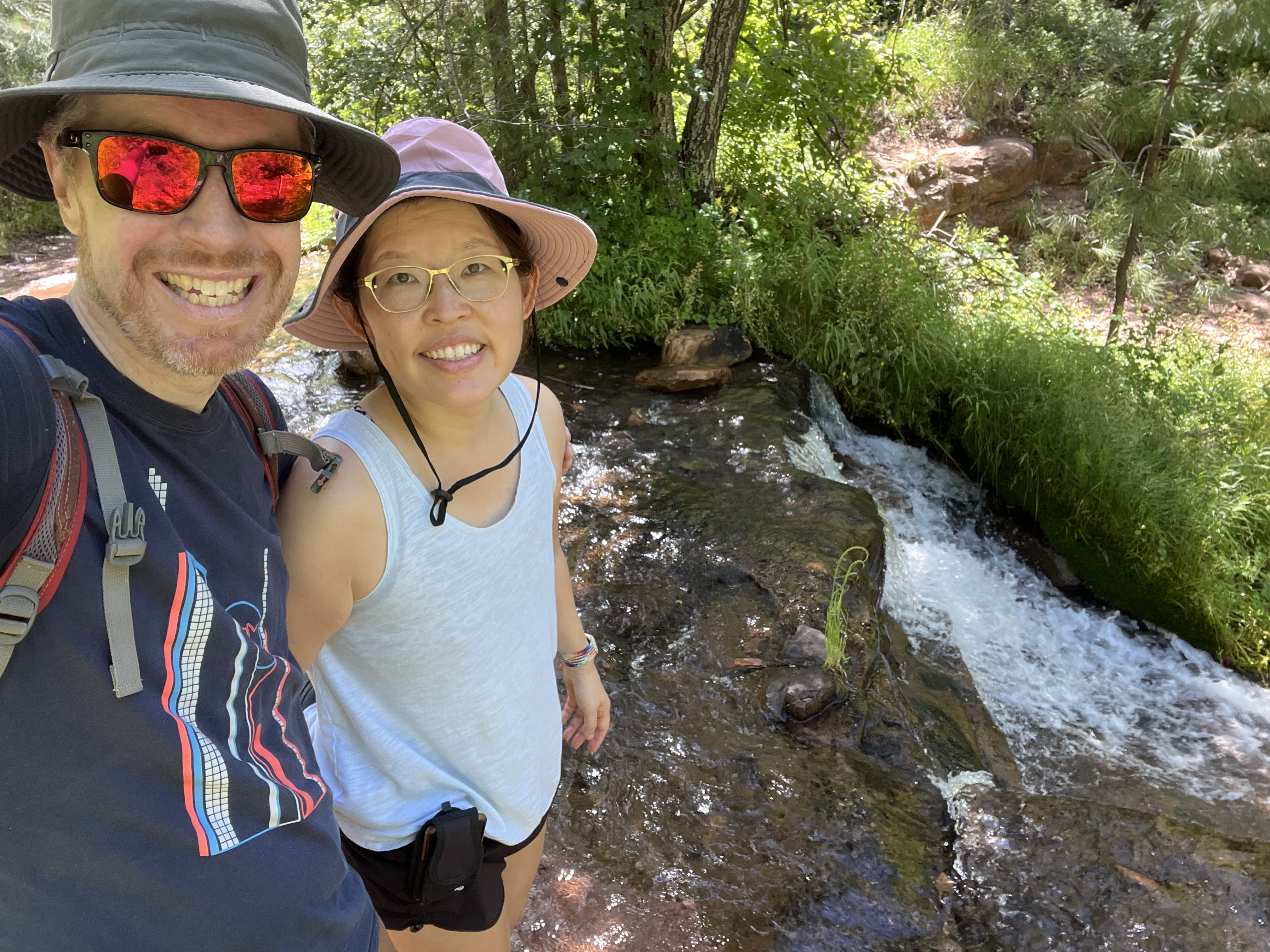
Ha, yes, another post, but this time, a really short one. My SAT (self-appointed trainer, a.k.a., my husband) and I decided (needed?) to escape the Phoenix heat by driving to Horton Creek and doing a little hike. Horton Creek is about 20 minutes north of Payson and is high enough in elevation to bring welcome relief to those who suffer in Phoenix during the summer. It’s easy to get to the trailhead; type in “Horton Creek trailhead” into your GPS and drive about 2 hours. The trailhead is well-signed and has an outhouse. (Click here for an interesting article on the hike and the history behind it.)
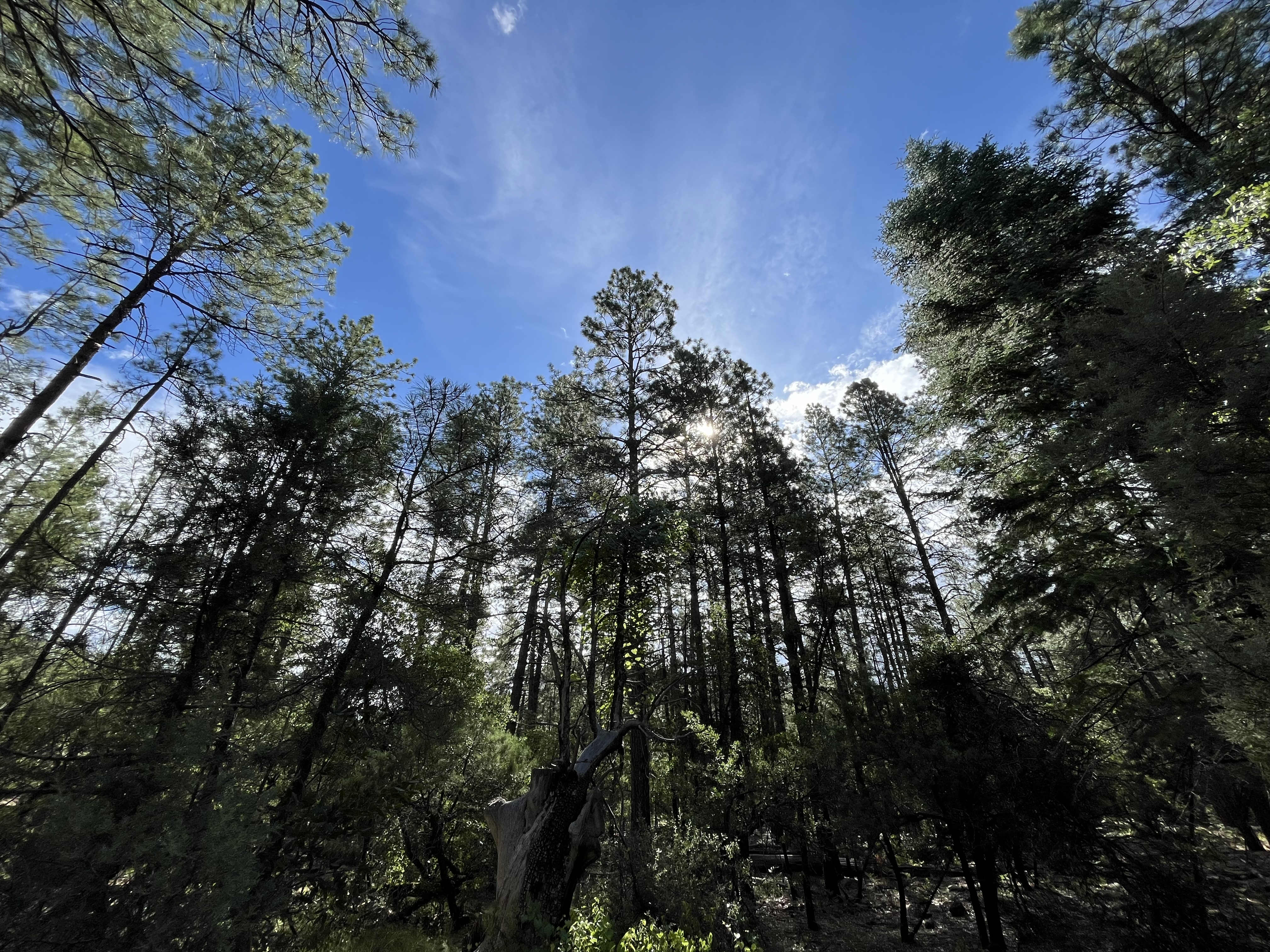
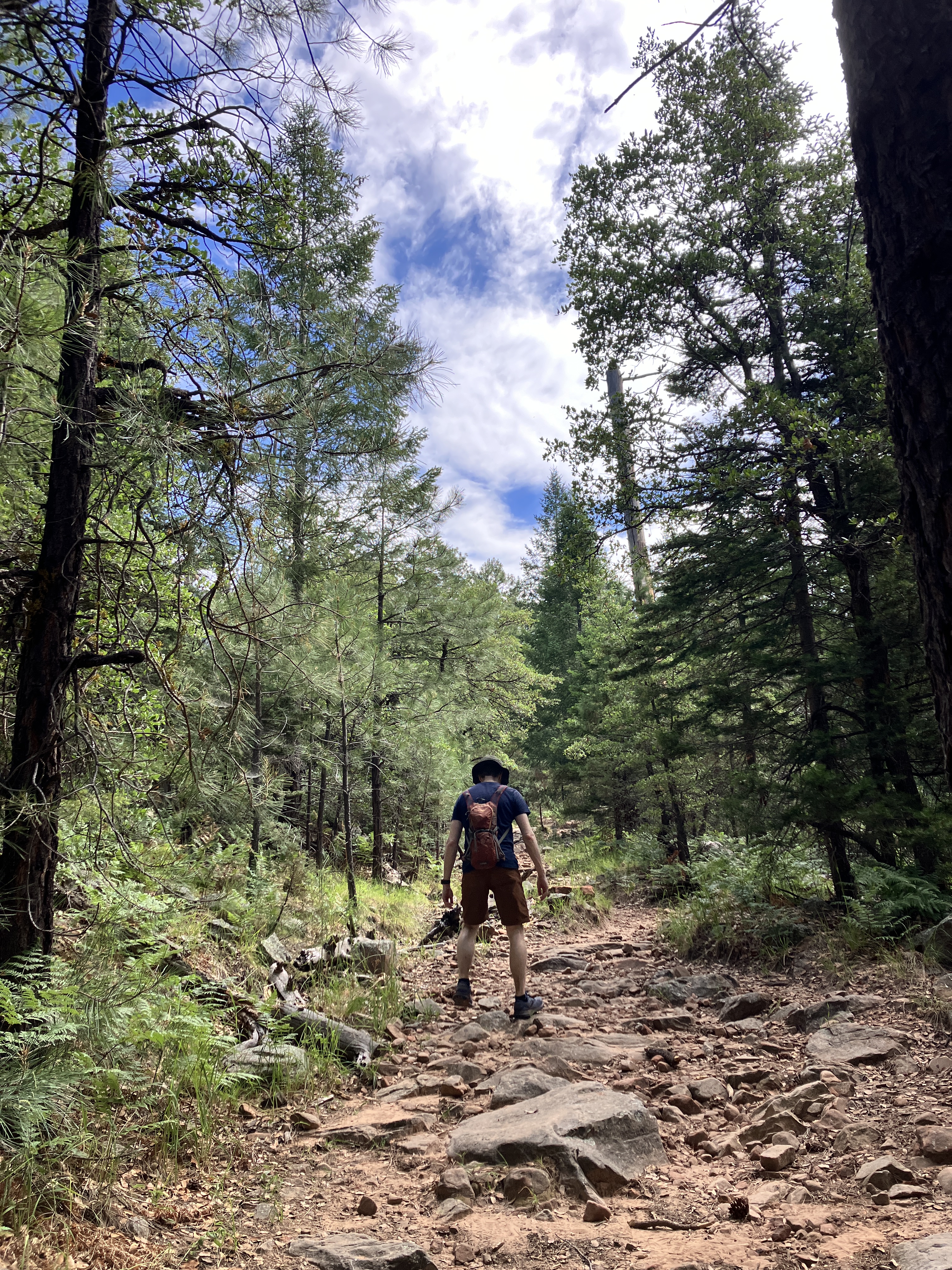
The trail itself follows the creek and ends at Horton Springs, which is really lovely to see in the middle of summer. For those who are adventurous and do not mind bushwhacking and extreme elevation gain, you can hike another mile past the springs all the way up to the Mogollon Rim. Although we chose not to do that today, our hike was still about 8 miles with almost 1,500 feet of gain. That may sound impressive, but the trail is pretty gentle and hardly felt like we were hiking uphill! We had lots of shade because we were hiking in a forest and the cooling effect of the creek and springs was very enjoyable. (FYI, if we had hiked all the way up to the Rim, we would have hiked about 9 miles and climbed about 2,450 feet!)
We’ll be back to enjoy the springs again….and maybe climb all the way up to the Rim!
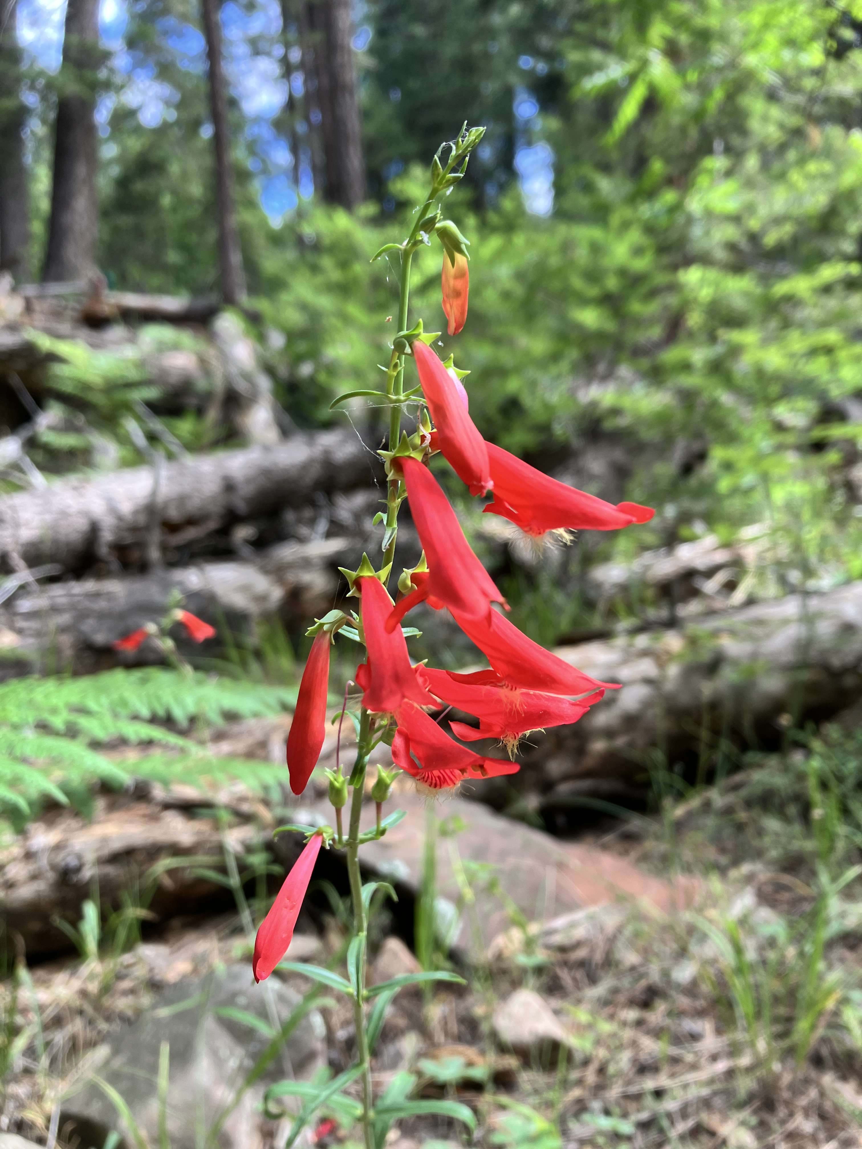
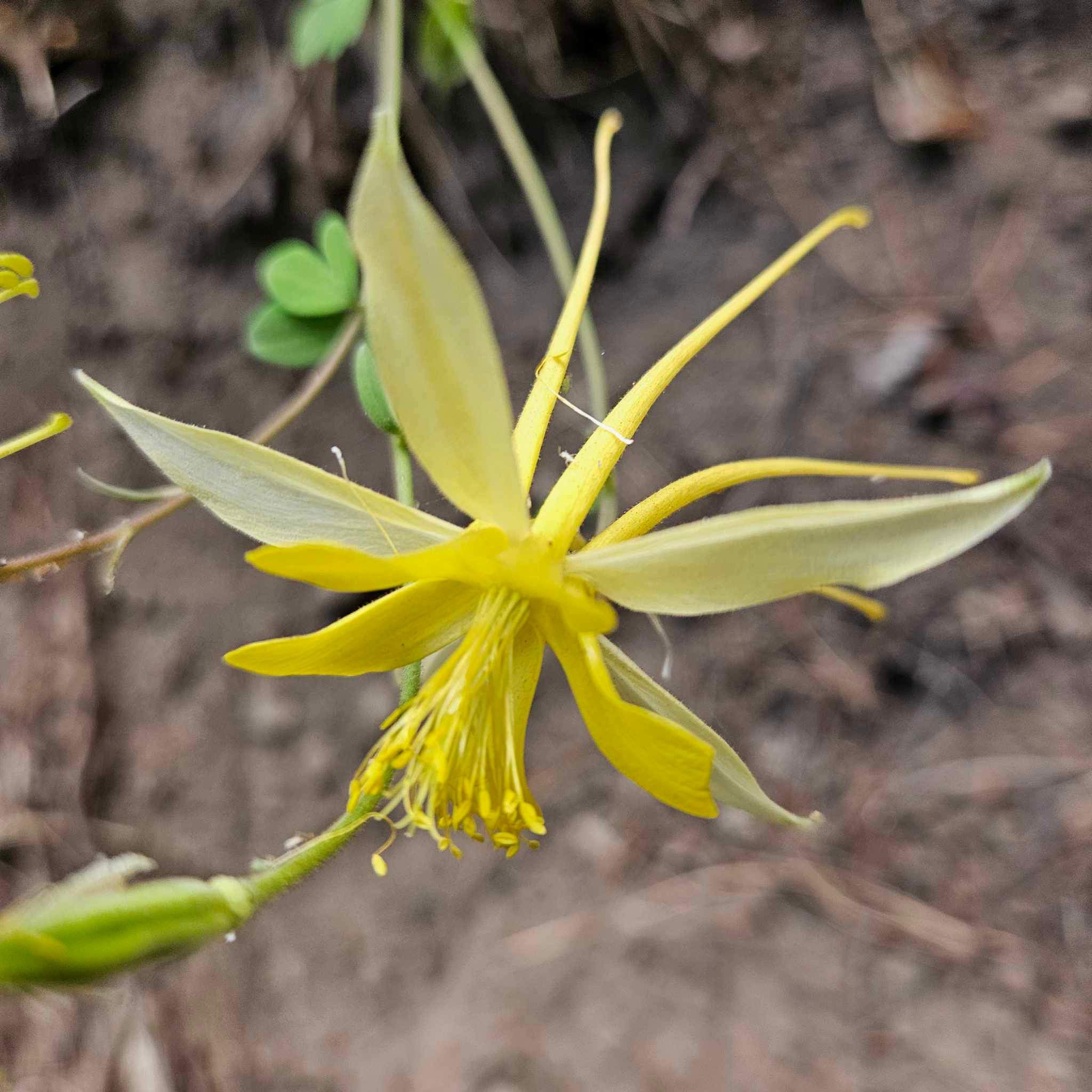
Trees!An example of the wildflowers we saw.Much of the trail was like this.Horton Springs.More wildflowers.Butterfly!Happy to be out of the heat!
Well, as the title of this blog post suggests, I am surprised by how quickly this year is whizzing by! As I was looking at my calendar, I realized that I haven’t updated this blog in a couple of months. So, per usual, I will write yet another “catch up” post. 🙂
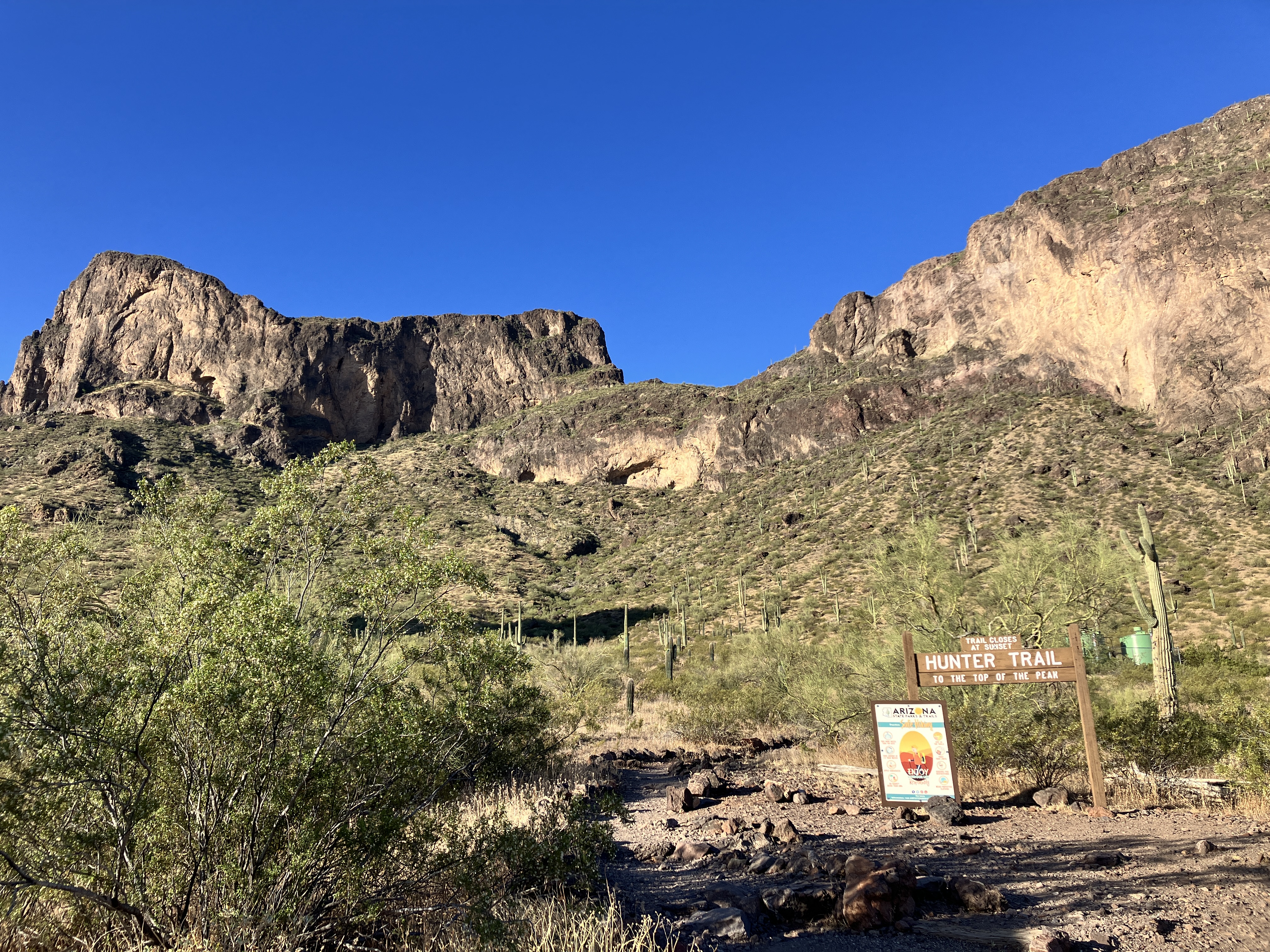
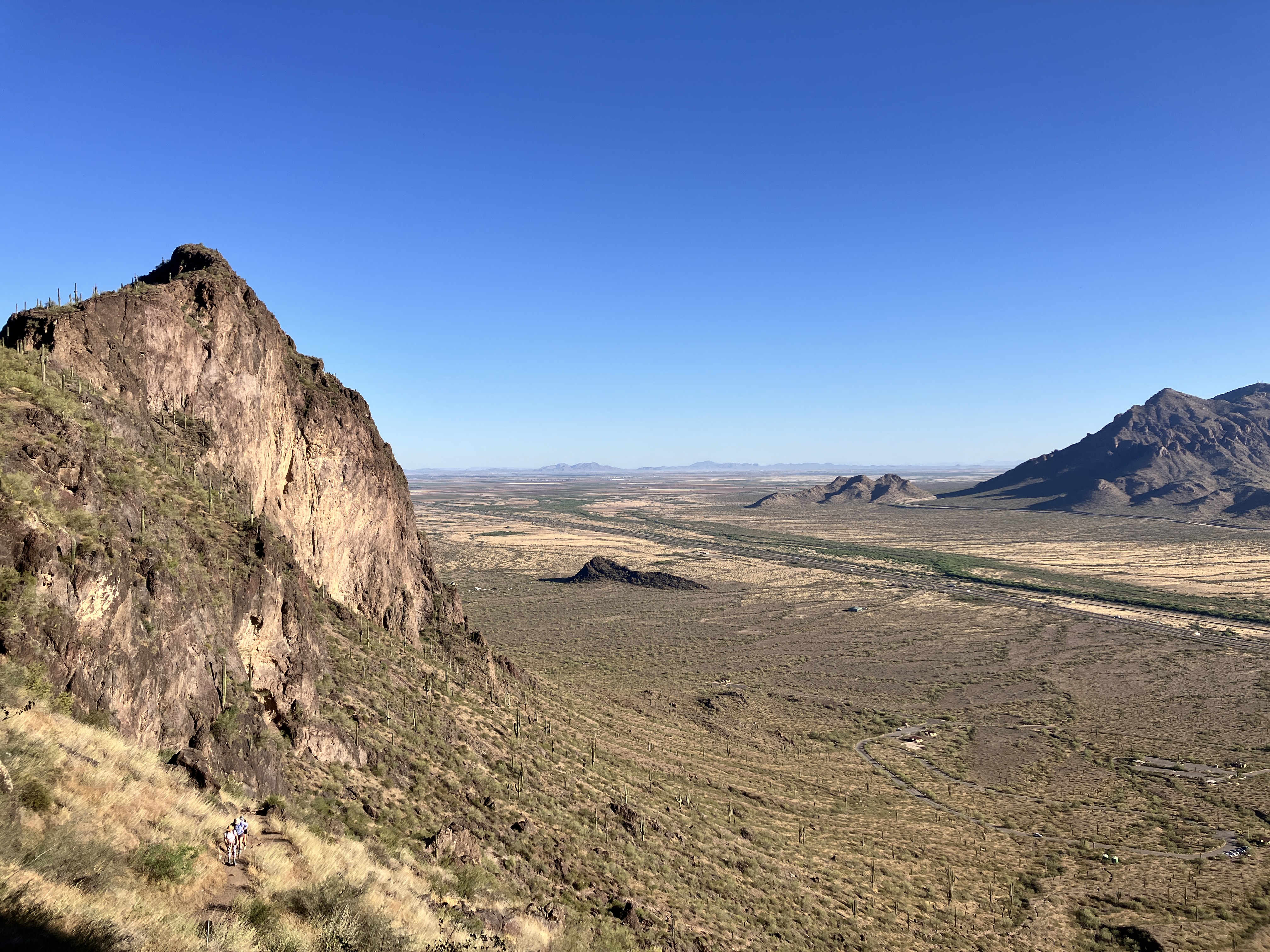
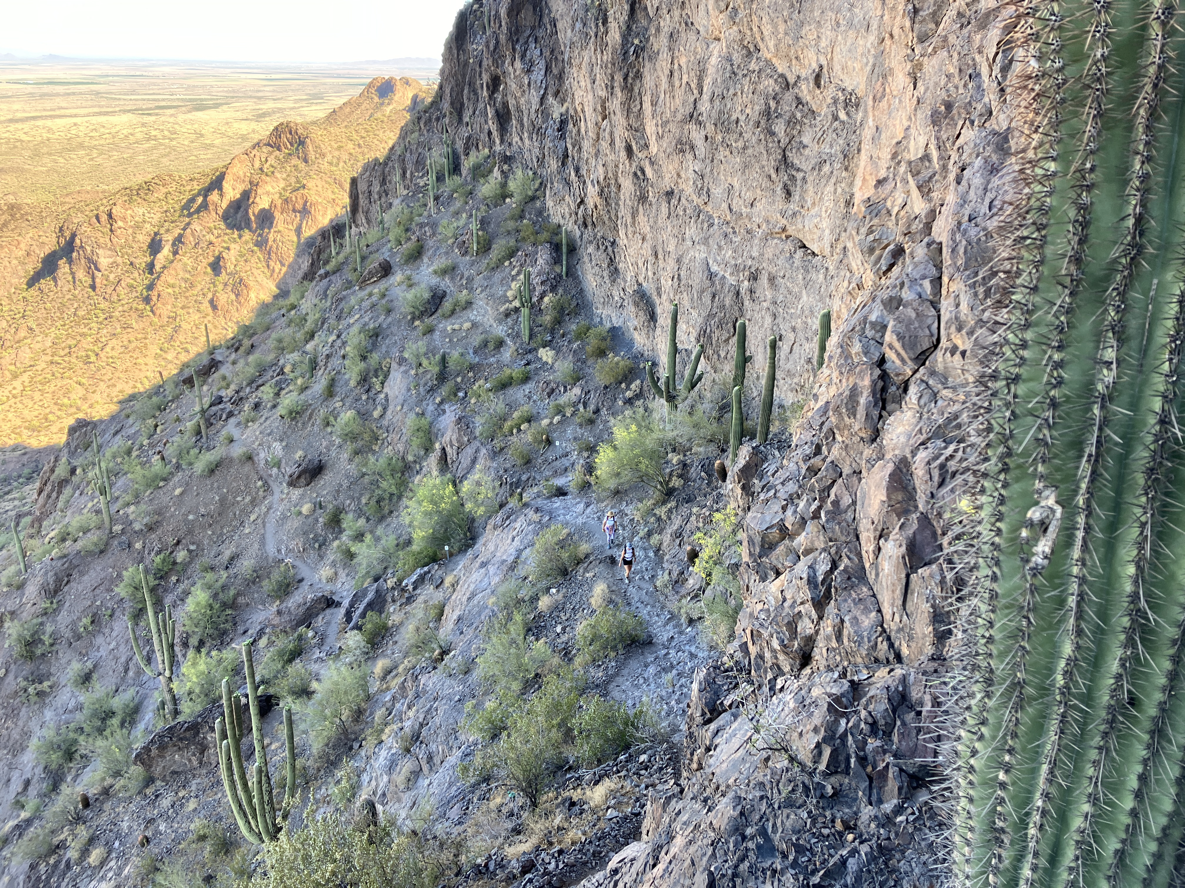
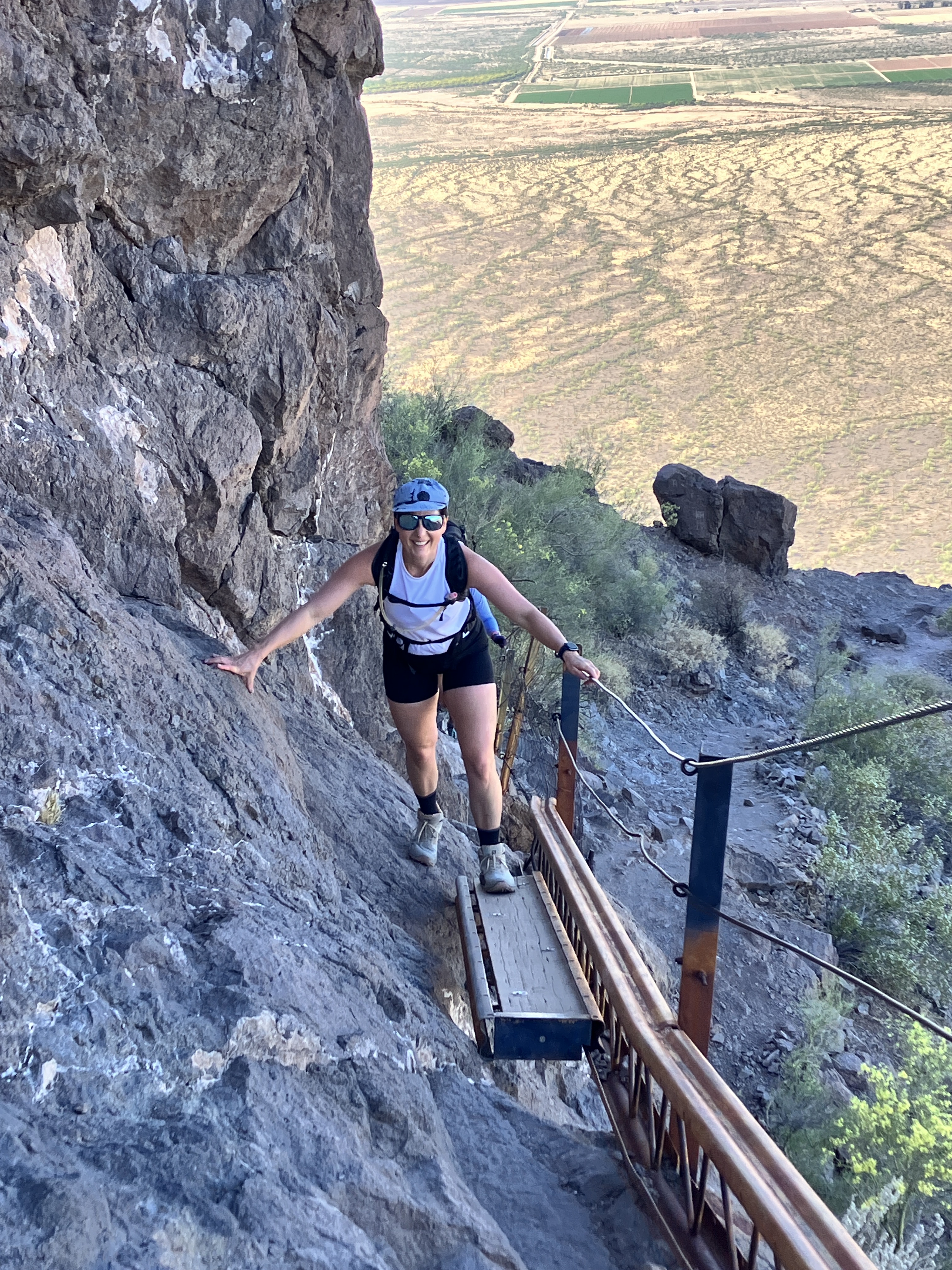
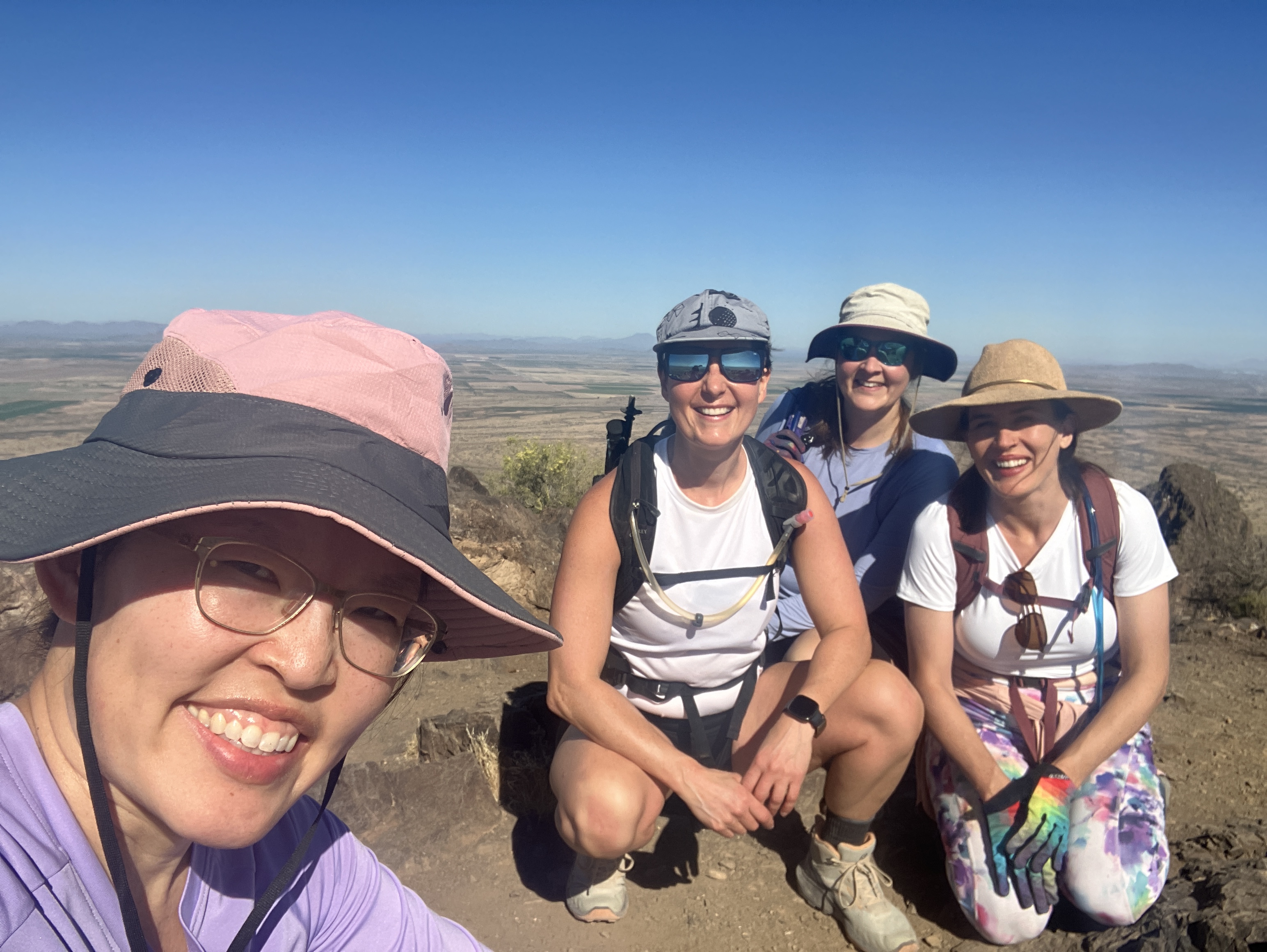
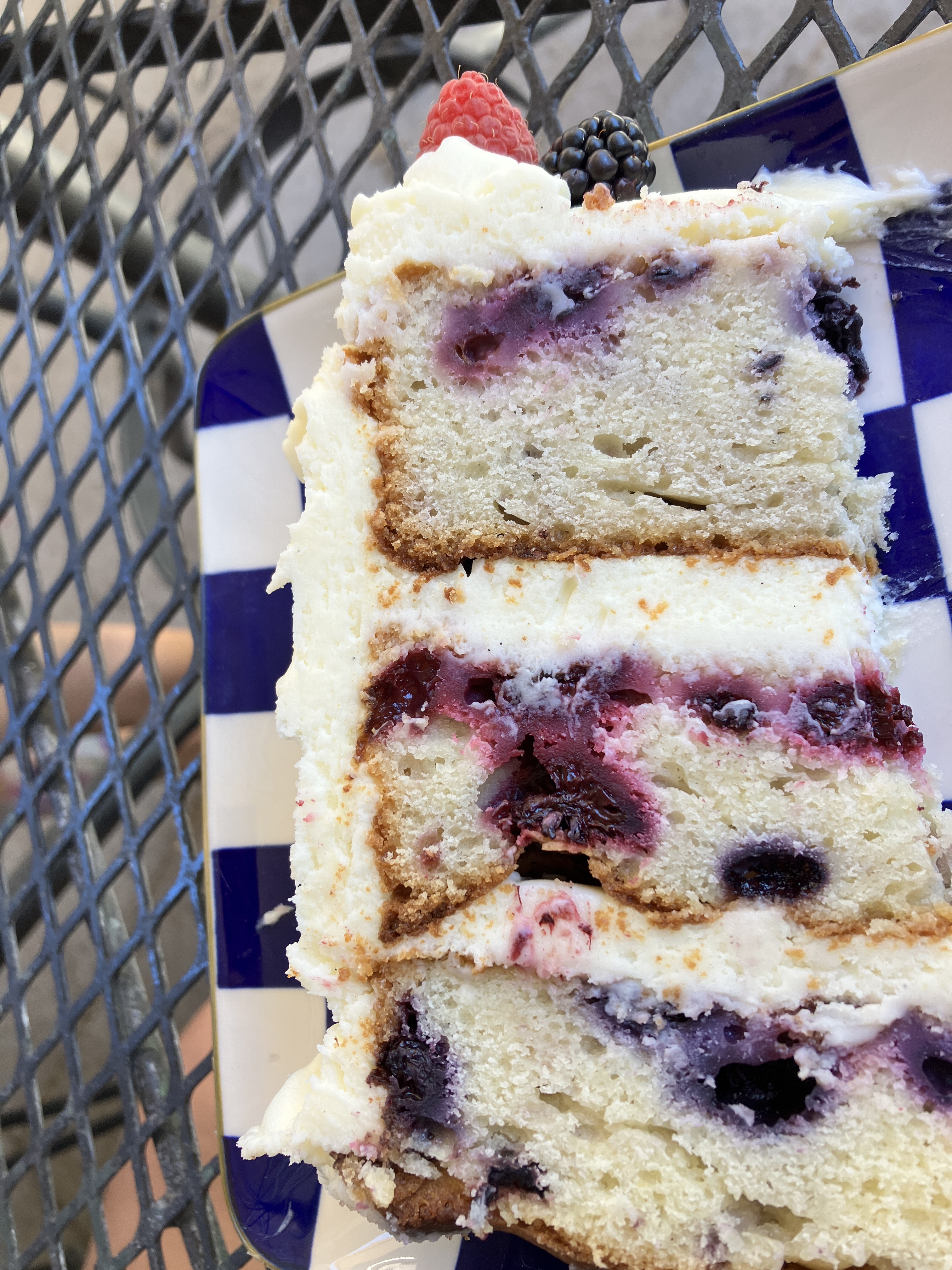
In May, a few friends and I hiked Picacho Peak north of Tucson. The last time I hiked Picacho was 9 years ago (see this post). The hike statistics have not changed, but what I CAN say is that the hike is mostly in shade! When I went 9 years ago, it was in early February and maybe the angle of the sun was such that the hike was not shaded then? I still enjoyed the cables and I greatly appreciated the company. After the hike, we made a detour and headed to the Tucson Art Museum‘s cafe to have some lunch and take home some AMAZING cake. It was SO GOOD. Well worth the detour!
Ready to tackle Picacho Peak!The view partway up the trail.Look how far we’ve come so far!A well-placed sign, in case we forgot which way to go.The trail gets pretty steep.Pretty desert landscape.I really did like the cables!There were also a few bridges.At the top!About to head back down.THIS CAKE IS SO GOOD!
————————————————-*****————————————————–
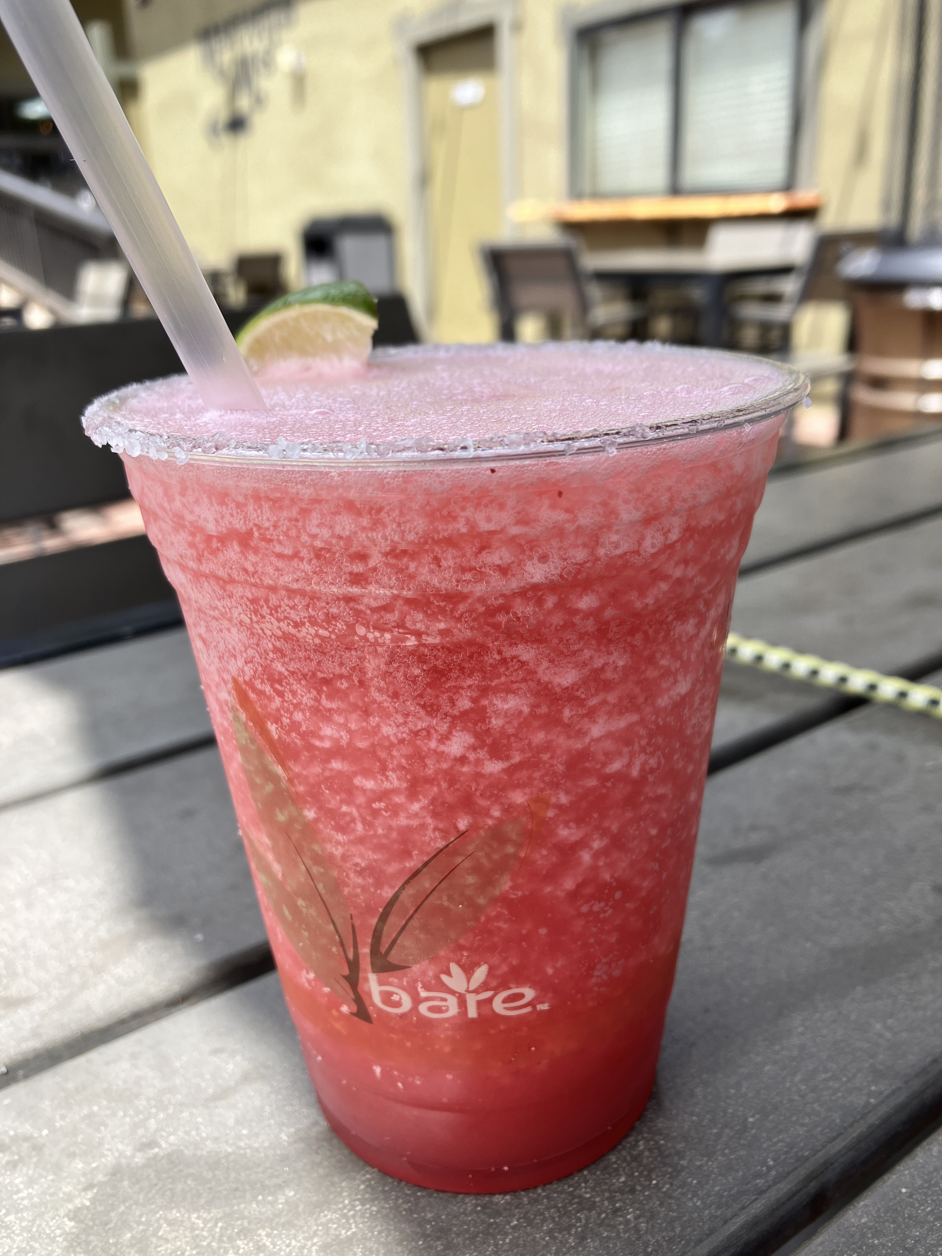
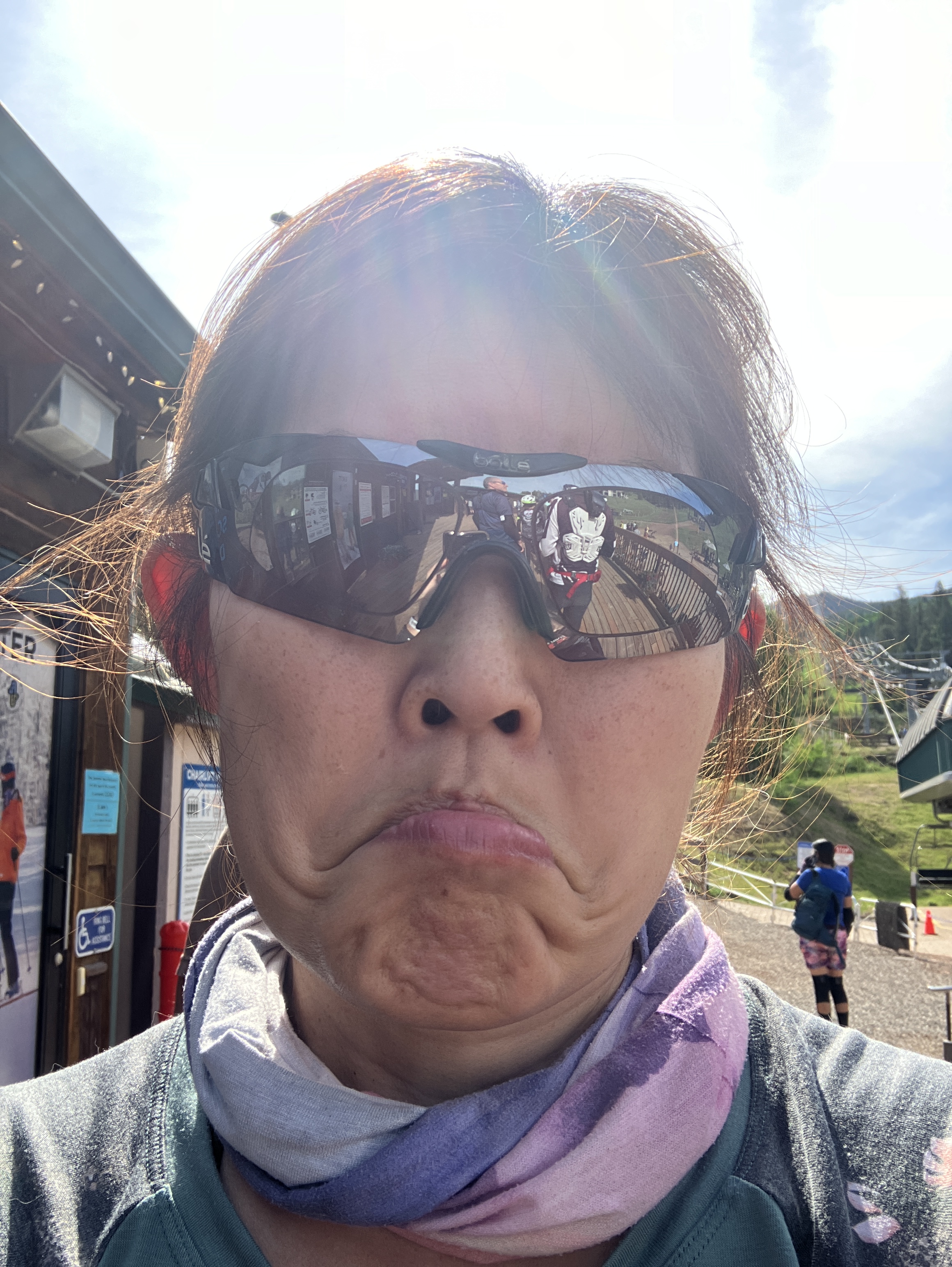
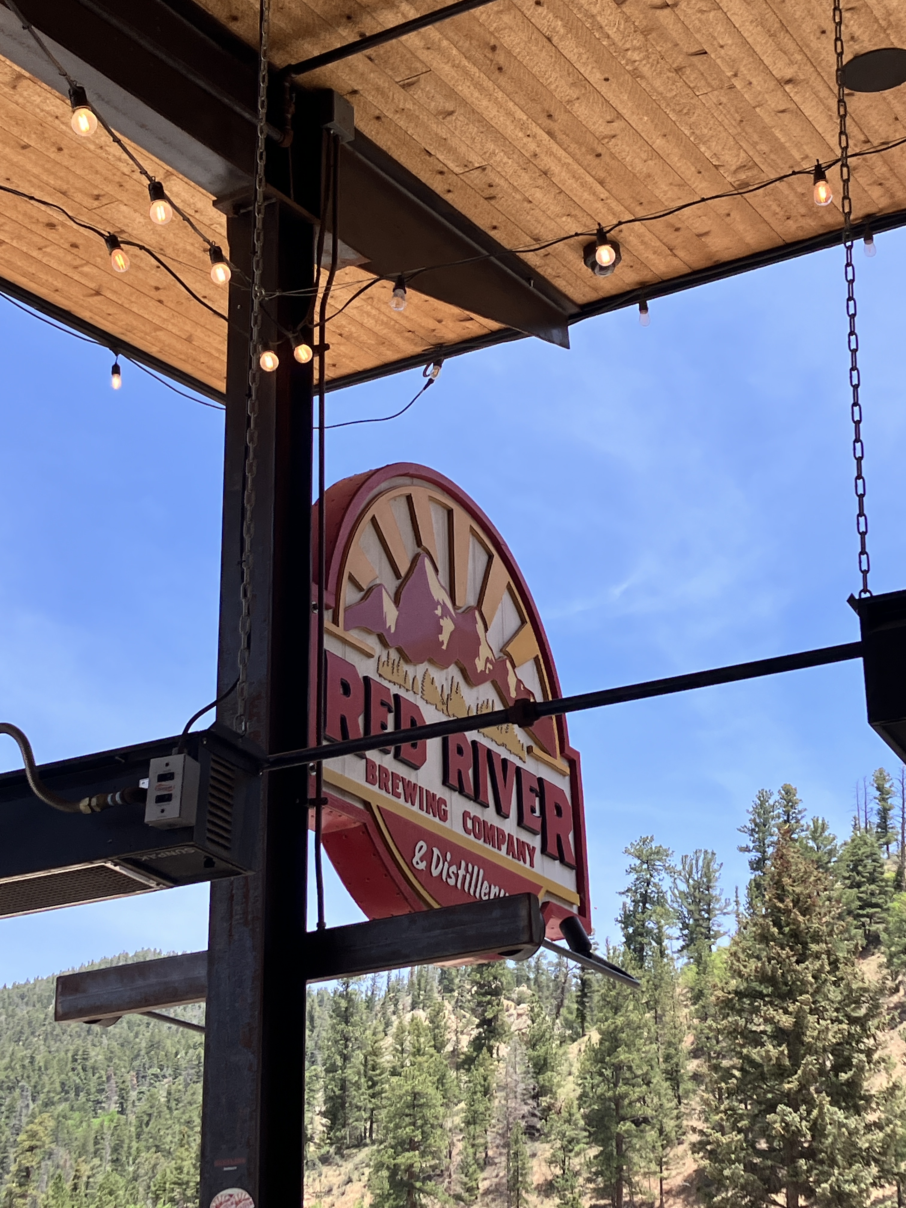
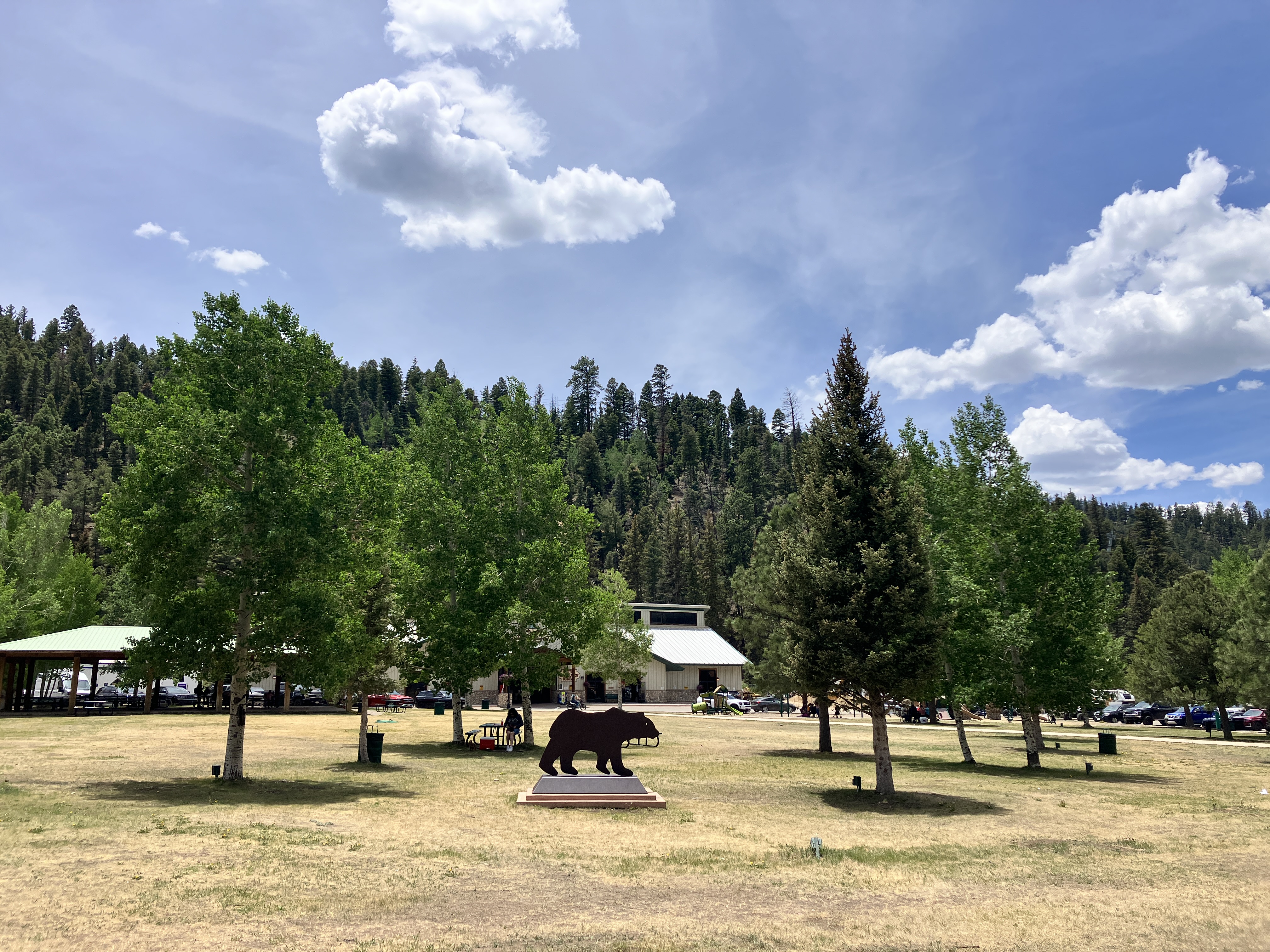
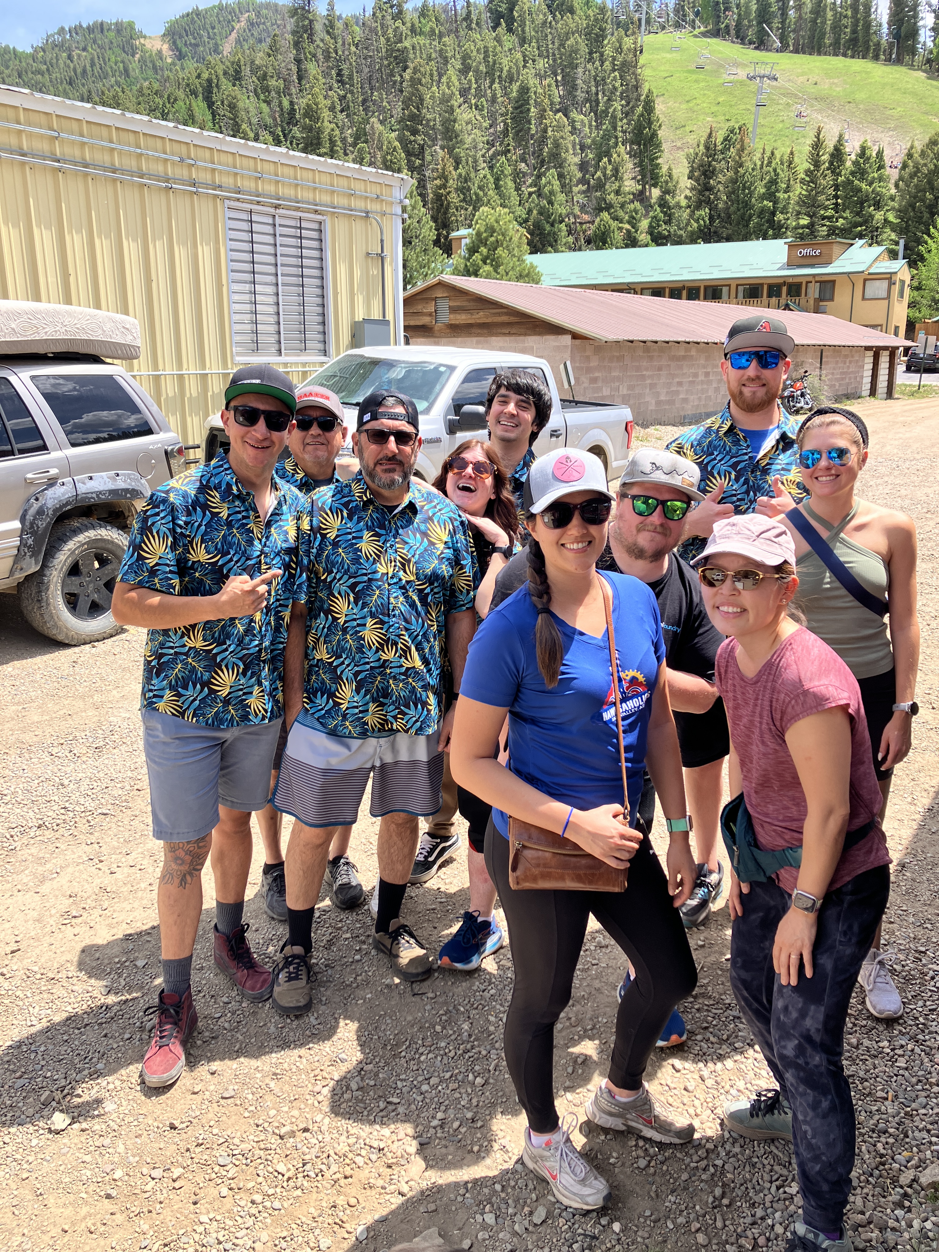
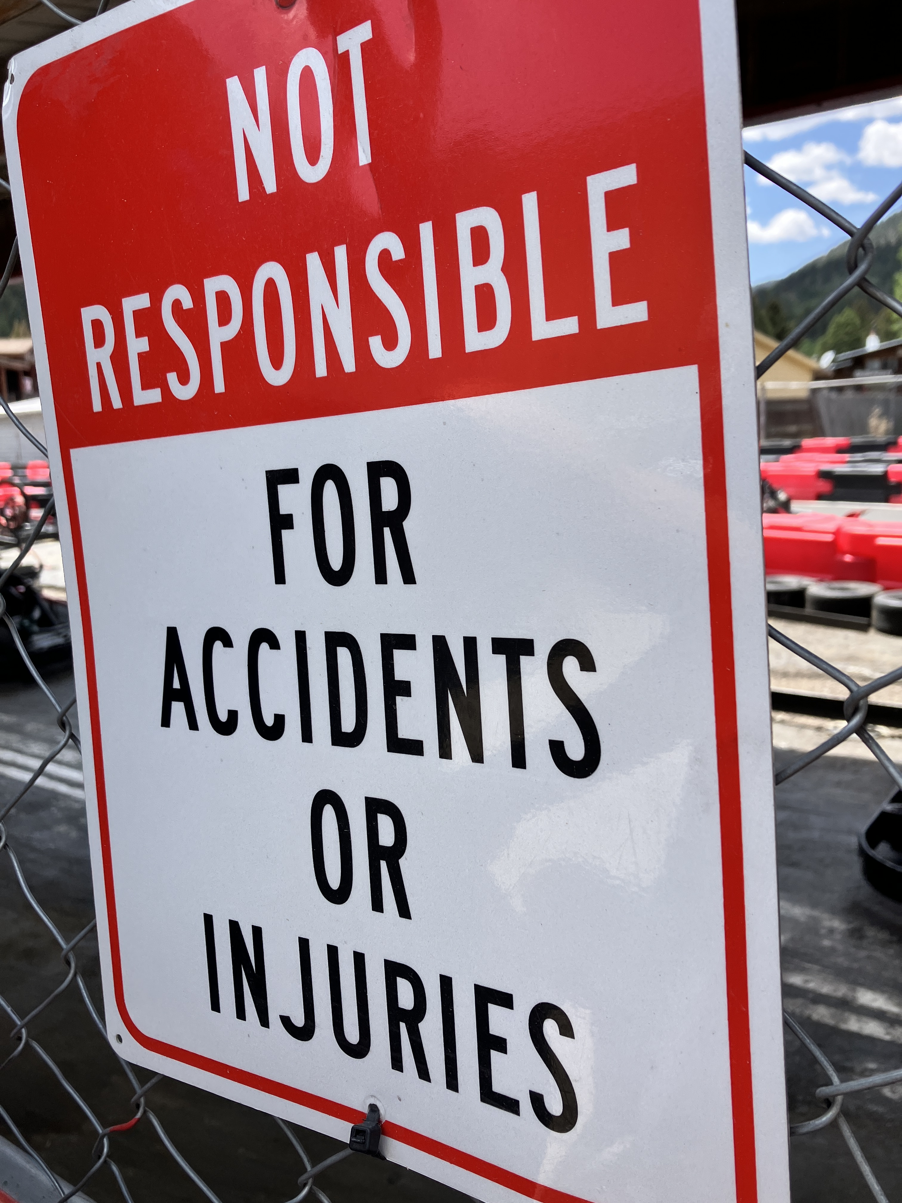
I hadn’t planned on any trips in June, but when my friend Vicki asked if I wanted to join her for a spontaneous weekend of downhill mountain biking at Angel Fire Bike Park, I said YES. Although the drive to Angelfire, NM is more than 9 hours, we easily did it in a day and we talked THE ENTIRE TIME. I am not exaggerating. I’m surprised my voice survived. The weather was lovely and we planned on 2 days of riding. Day 1 was great, despite my dumb little crash right after getting off the chair lift. It was really dumb….I slid out on some loose rock and fell on my face. Luckily, I was wearing my full face helmet, which did its job. We met up for dinner with some friends of Vicki’s and then I went to bed because I was tired! When we got to the lift the next morning, we quickly learned that the lift was out of service and there would be no riding that day. The resort was issuing refunds and we were scrambling to find something else to do. Apparently, there was a mechanical issue with the lift and the resort had to order parts that would not arrive for another week or so. Bummer! Our plan B was to drive to the nearby tourist town of Red River, have lunch at the brewery, walk around, and do some go-carting! Not a bad alternative. I still enjoyed getting out of the Phoenix heat, so overall, the weekend was still a win.
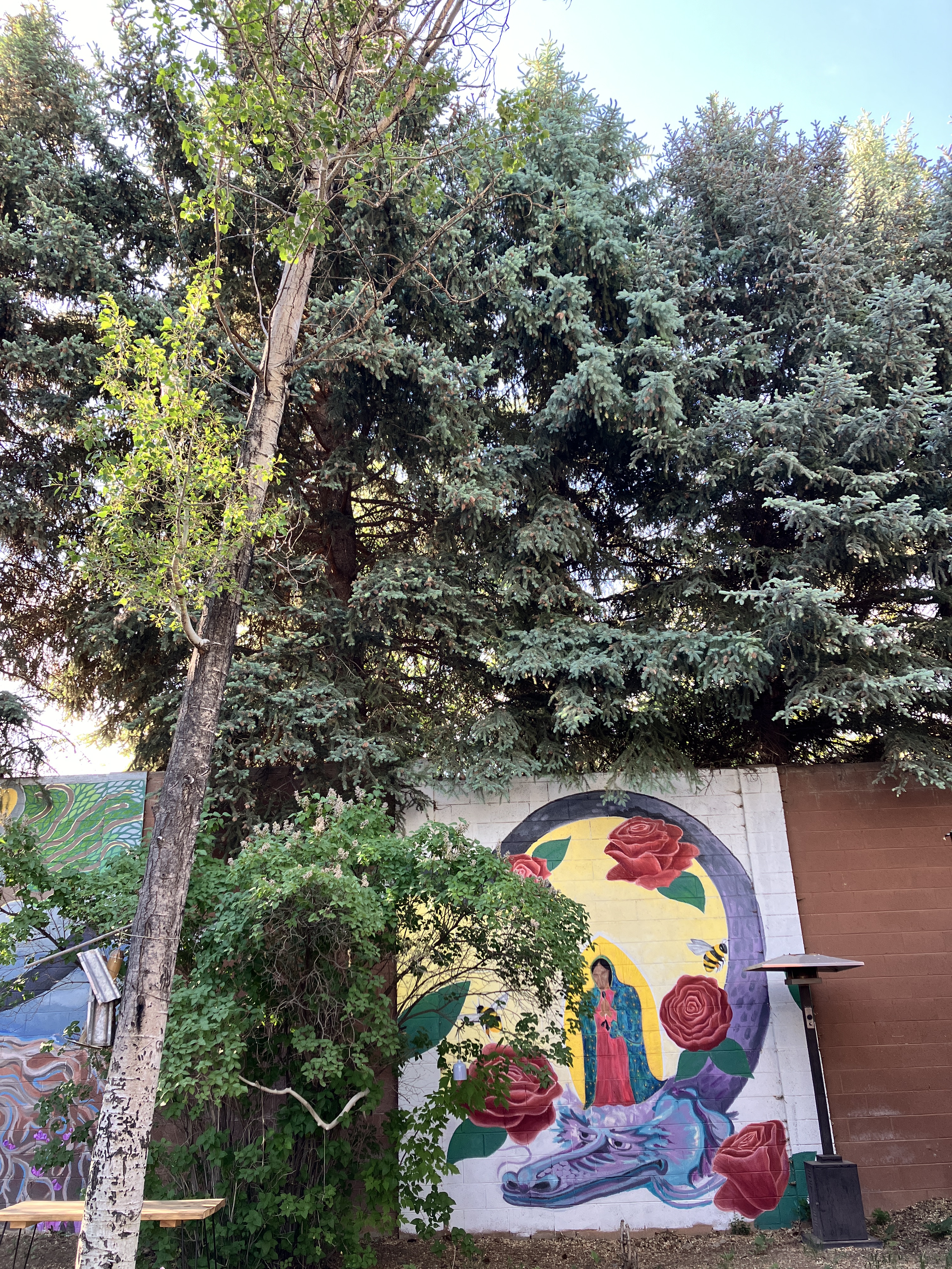
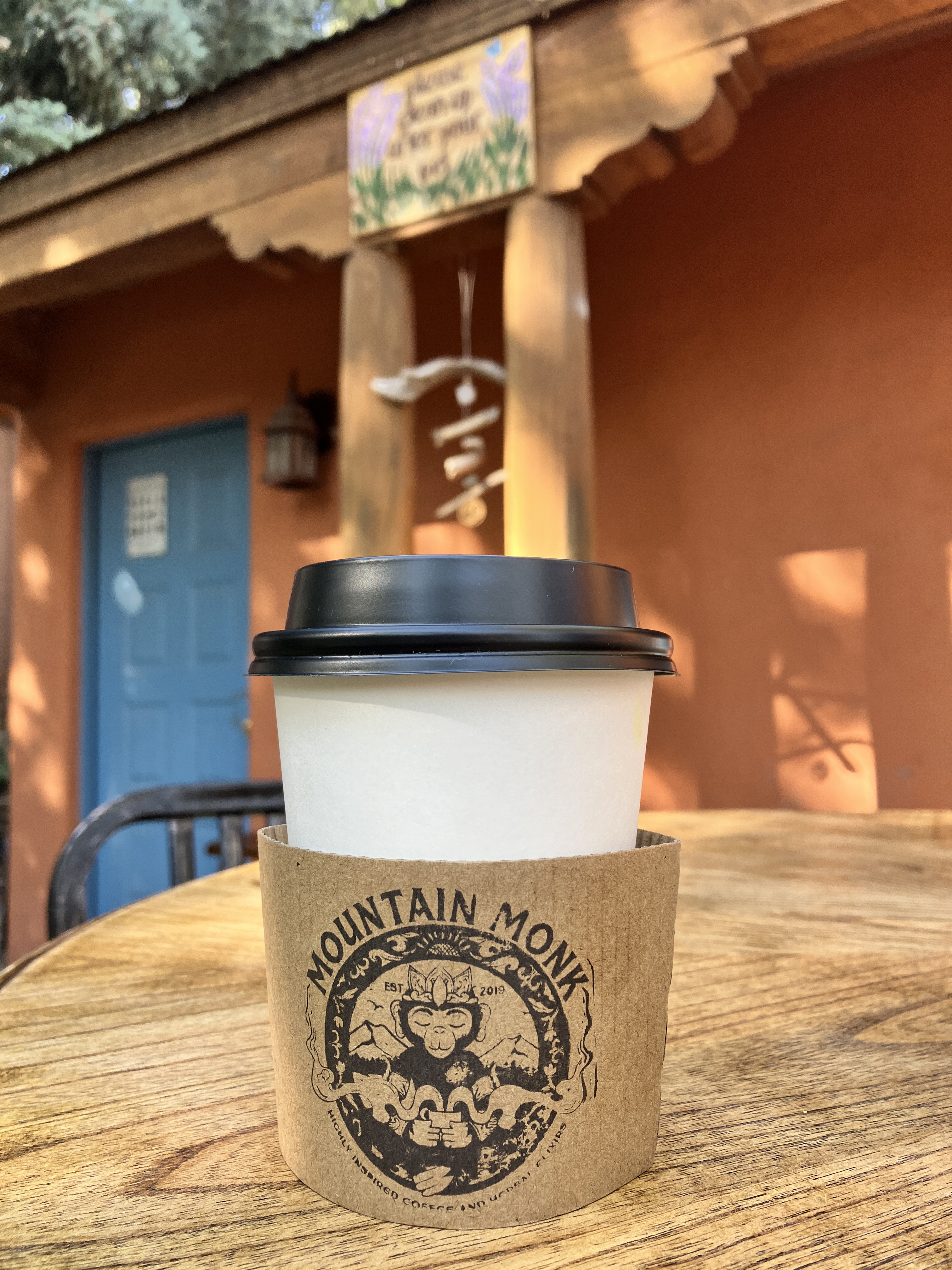
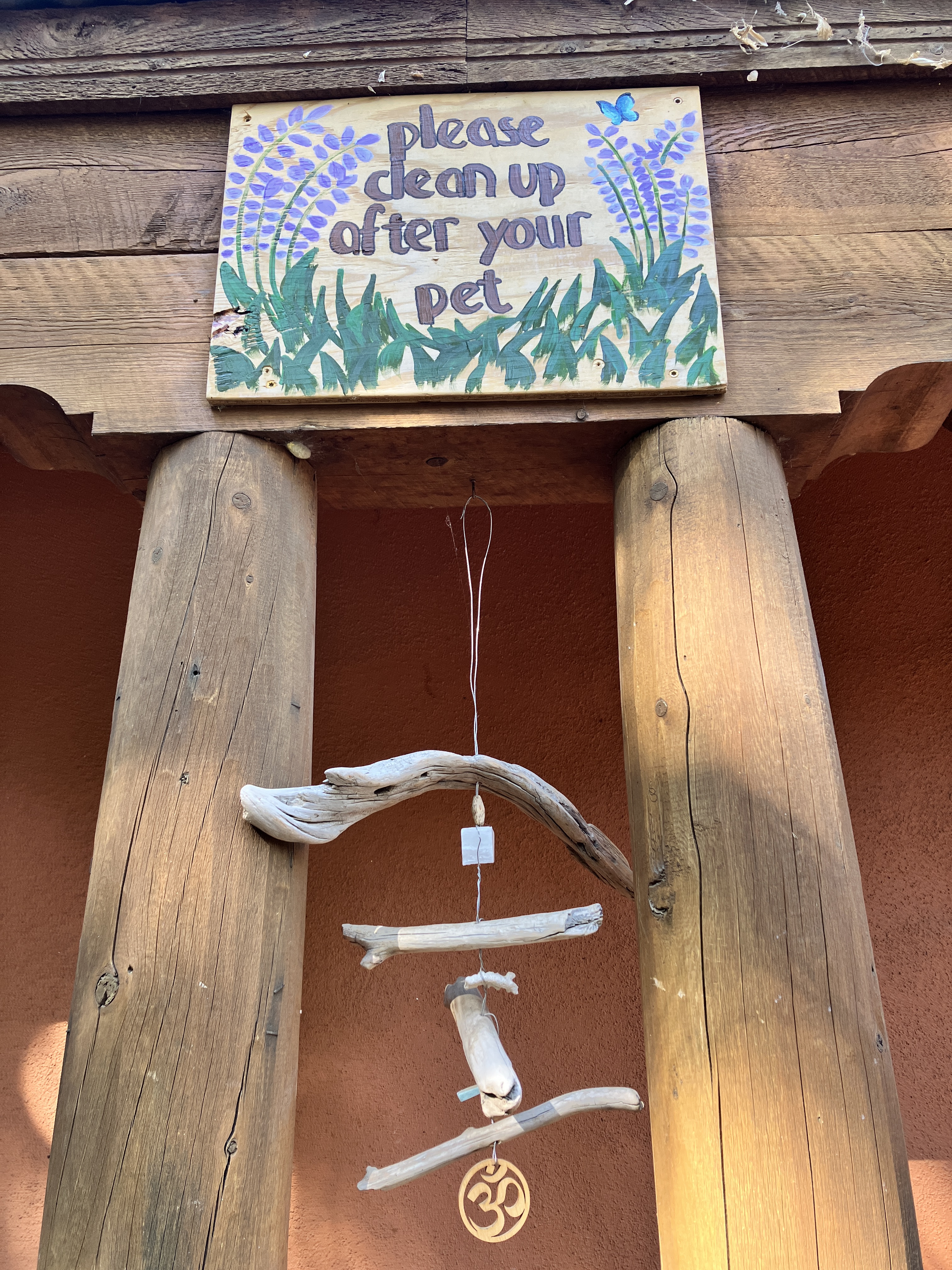
Can you tell these bikes belong to girls?Vicki and I about to get on the chairlift.Obligatory photo with my bike (a.k.a., Sassy Cat).I had one very good strawberry margarita.Day 2: I just learned the lift is out of service. No riding today.Lunch at Red River Brewery.The town park.Cute little ice cream and burger joint.Most of Vicki’s friends drove up together and got “party shirts” to wear while riding! This is the group after go-carting.OK, got it. Not going to go crazy while driving my go-cart!On the drive back to Phoenix, we stopped in Taos for some coffee. The coffee shop was right in front of a community garden.My chai latte was good!The gate to the community garden space.Lots of murals surrounding the garden.Good reminder.
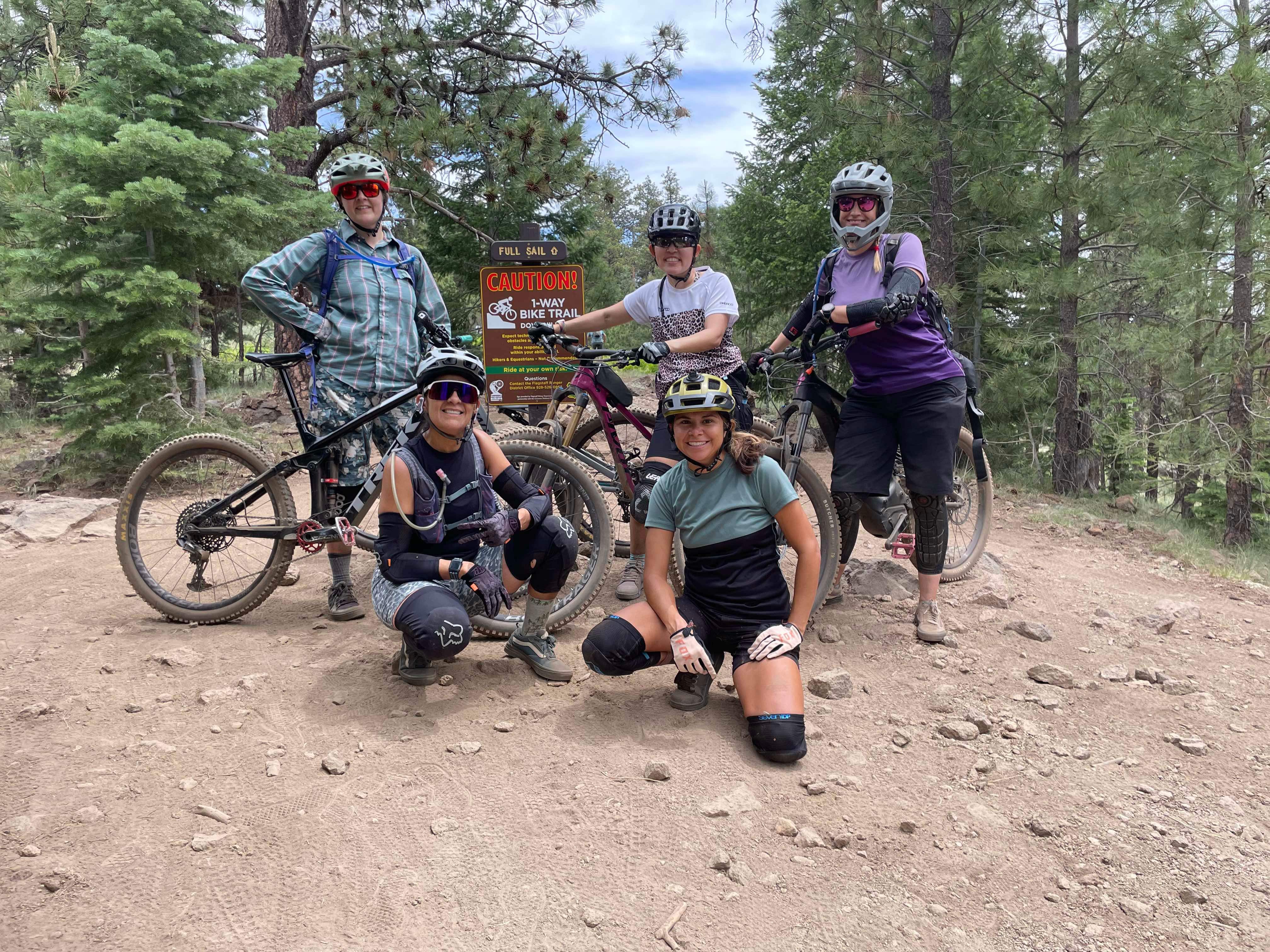
————————————————*****————————————————Last weekend, I got to check out a new fun trail near Flagstaff called Full Sail. It’s a flowy downhill trail that looks and feels like a bike park trail. It’s smooth with great berms and lots of opportunities for jumps. However, in order to get to that fun downhill trail, we had to climb 8 miles! To be honest, the climbing wasn’t that bad, especially since we had some cloud cover. It’s been super hot in Phoenix because….it’s summer….so we were soaking in the cooler temperatures and reveling in the cool, overcast temperatures! I definitely plan on going back to Flagstaff and riding that Full Sail trail again…and again! Hope you all are enjoying your respective summers!
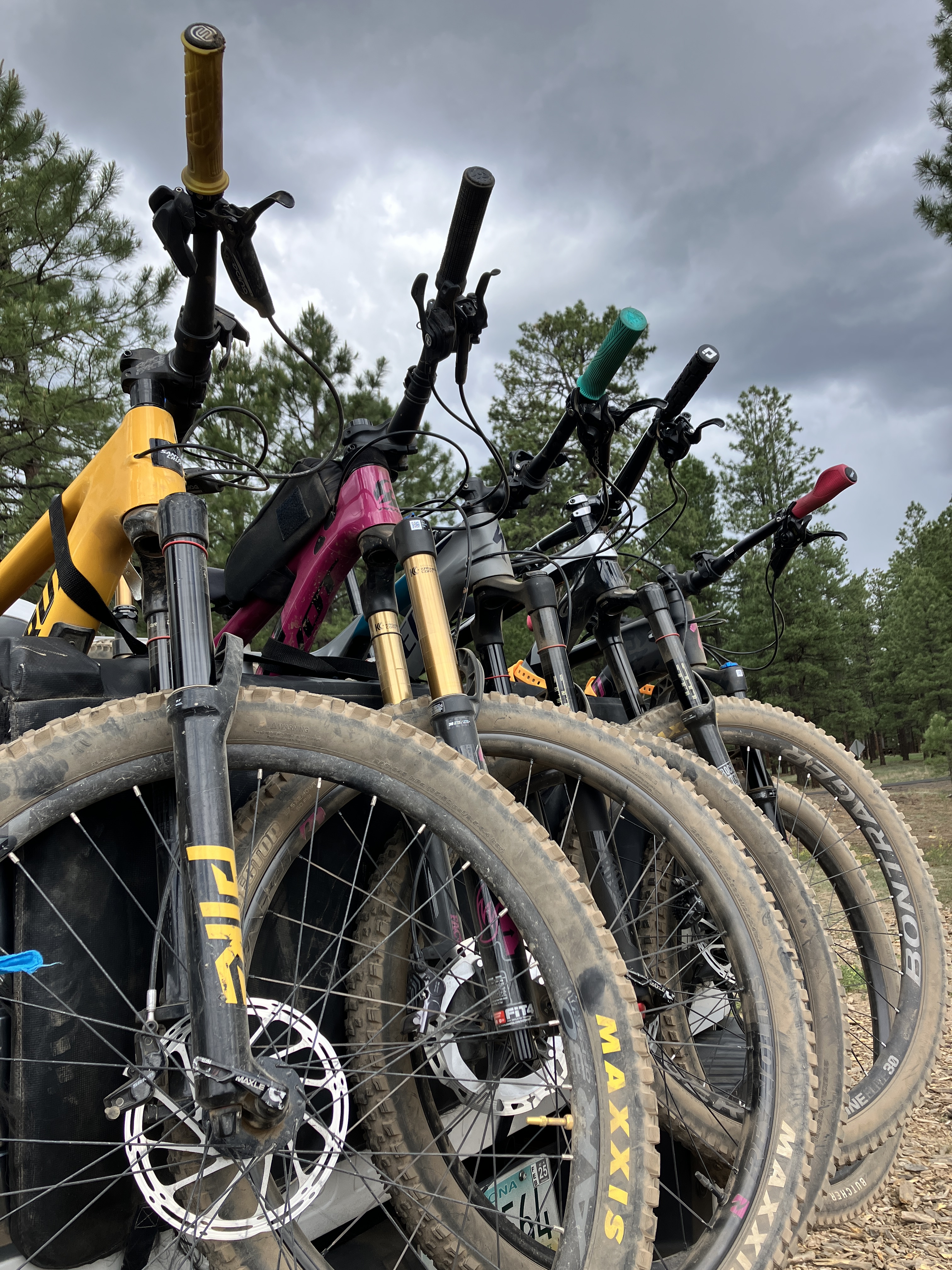
My Sassy Cat found a skull!!Gladys striking a pose.A pretty flower.Beautiful forest.Our little group before we started the downhill fun.Wheeee!We all got pretty dusty and dirty.Our bikes got dirty too!
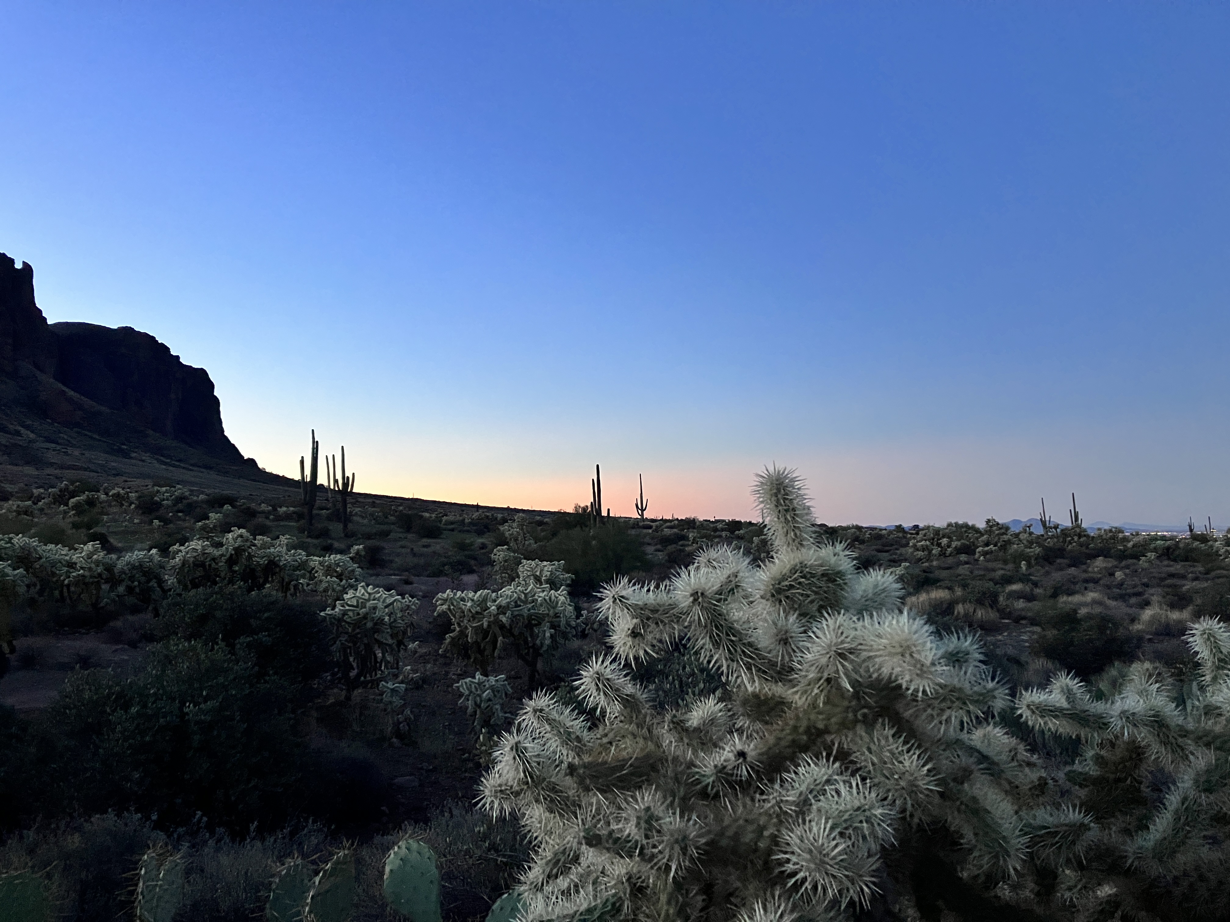
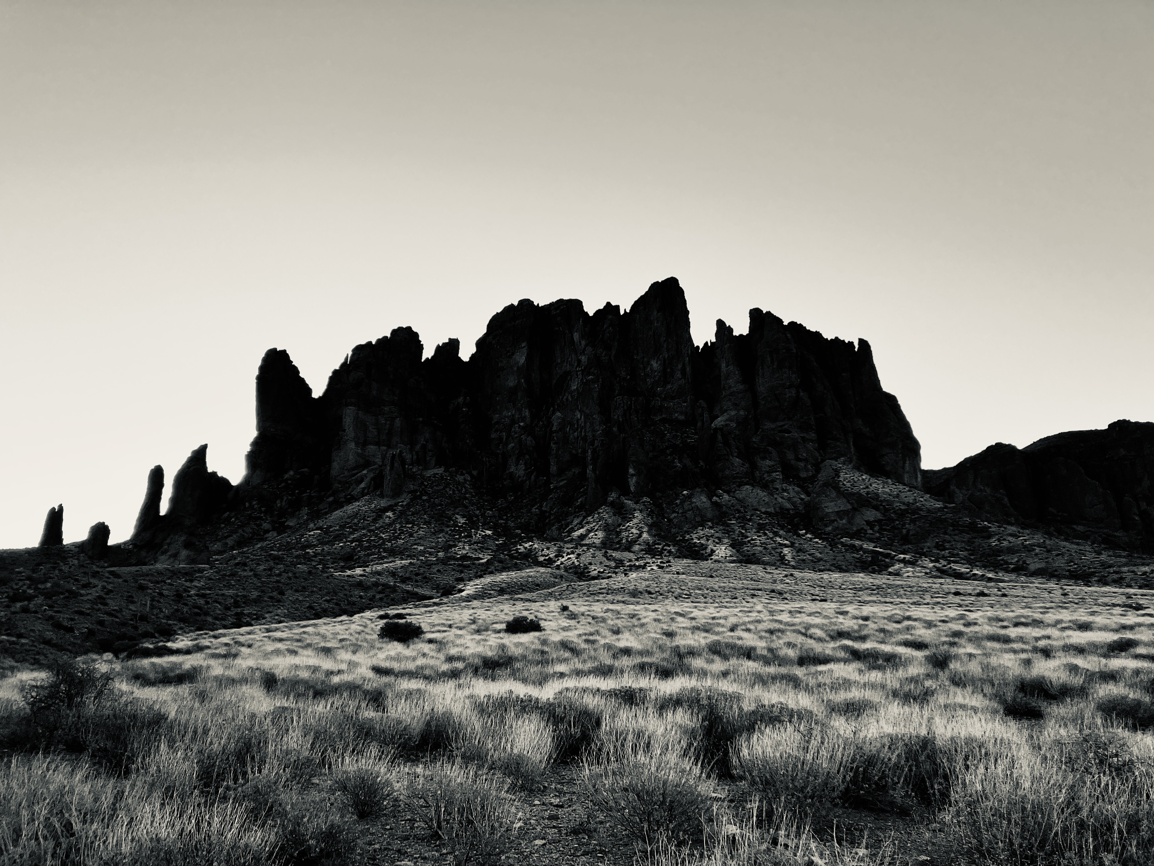
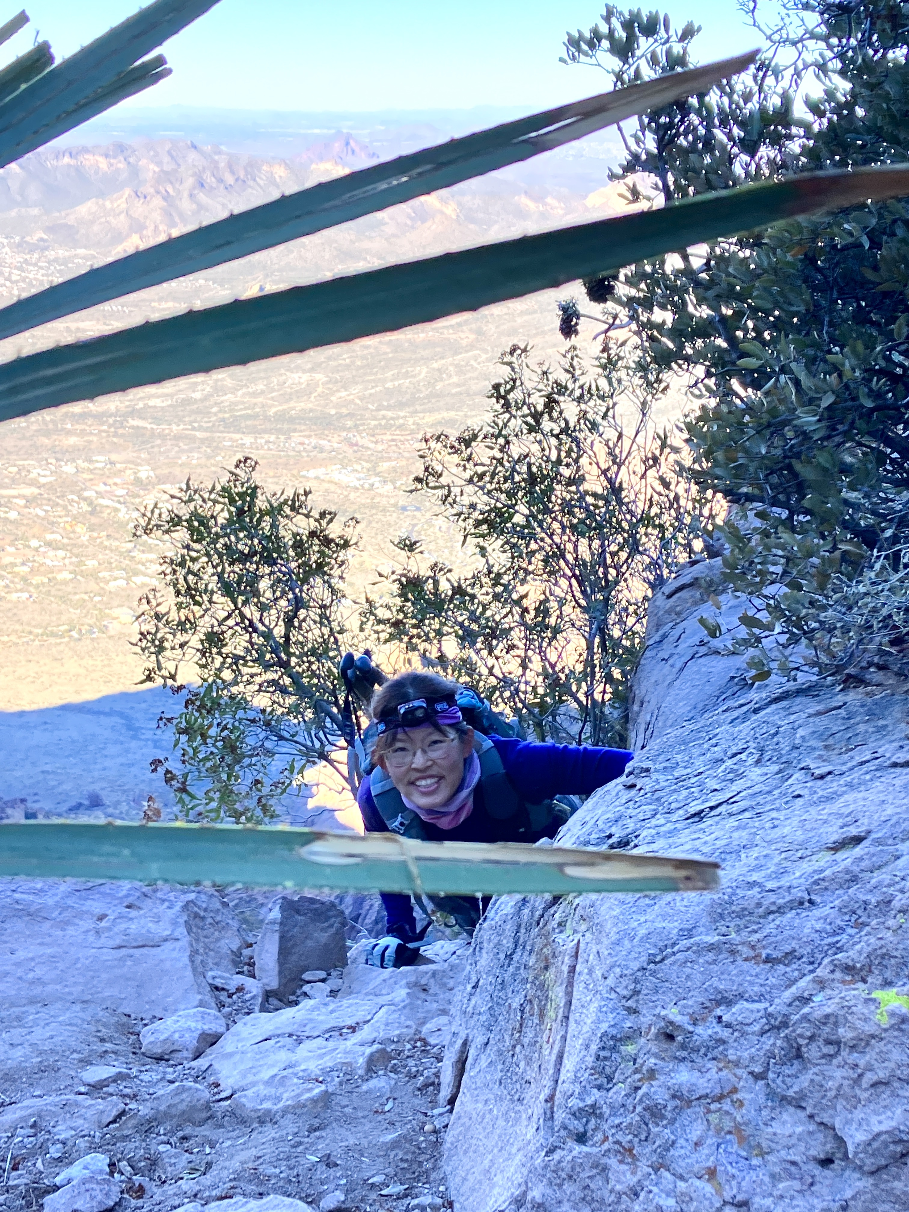
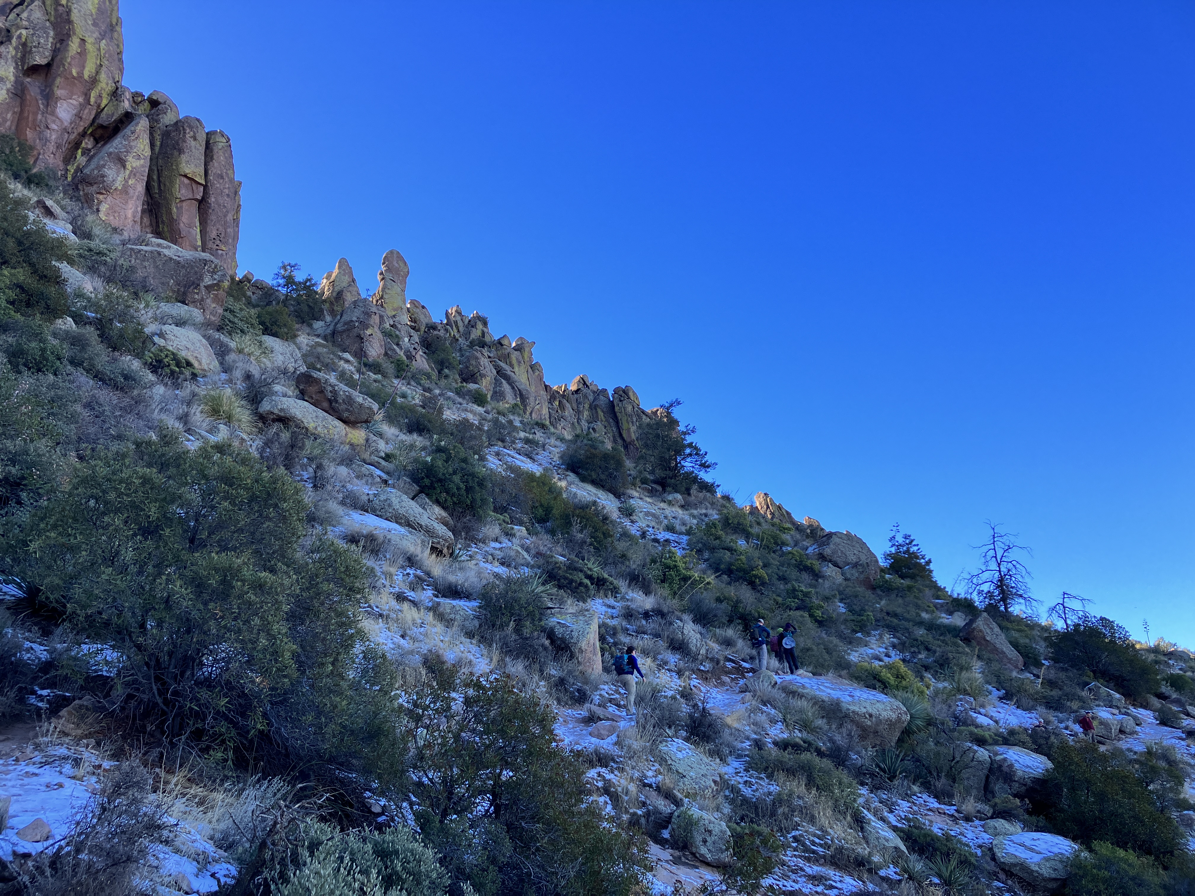
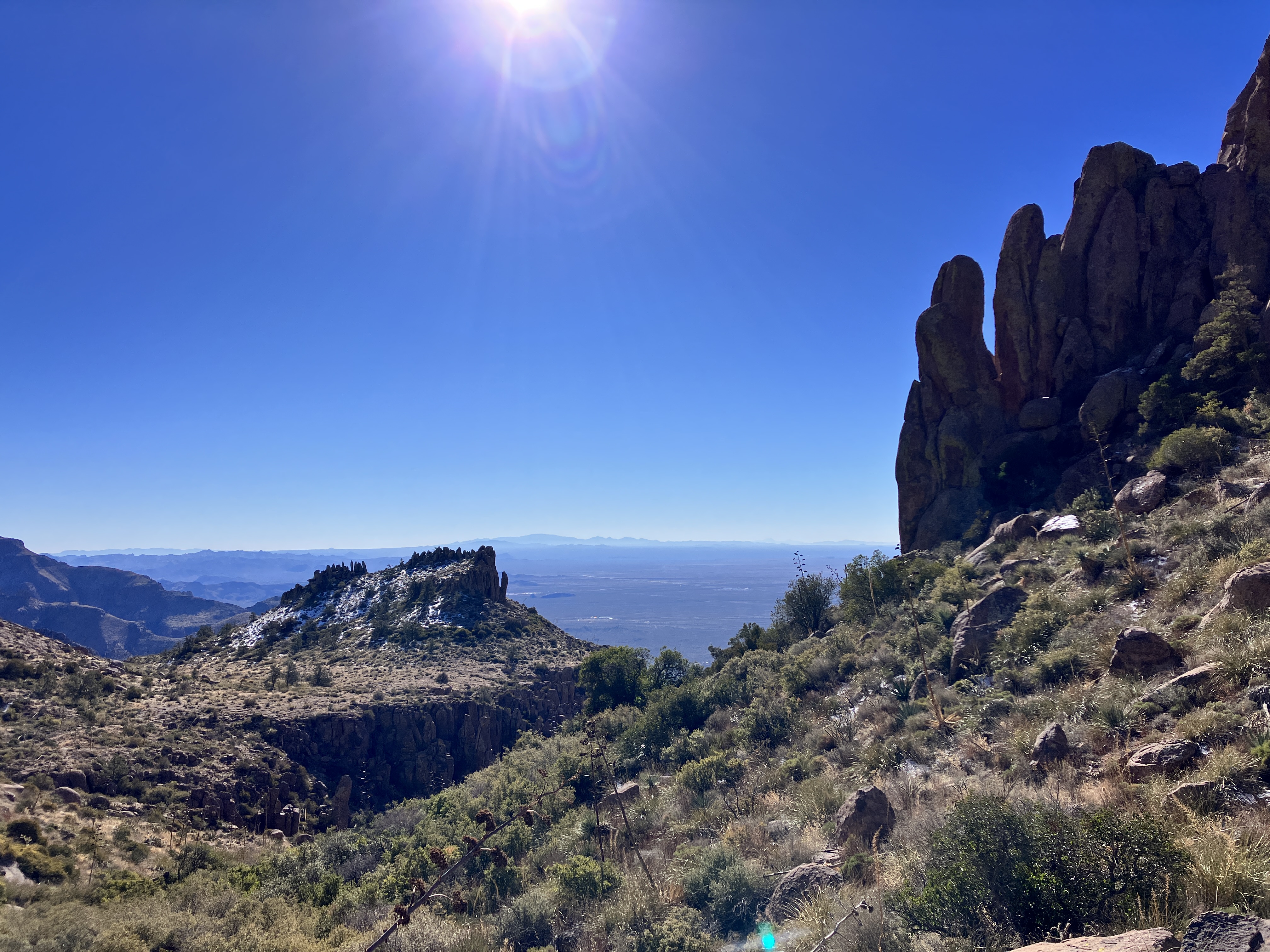
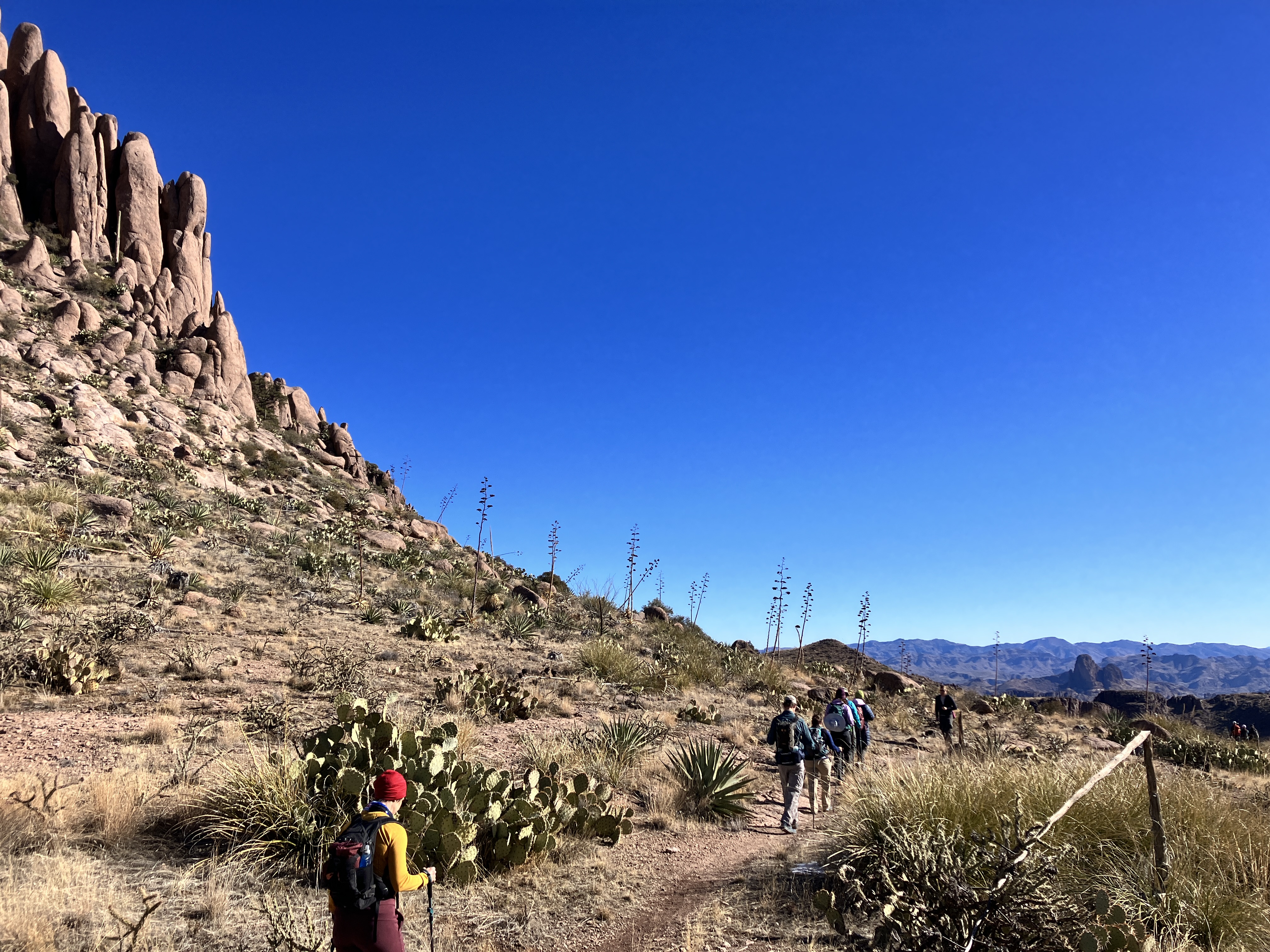
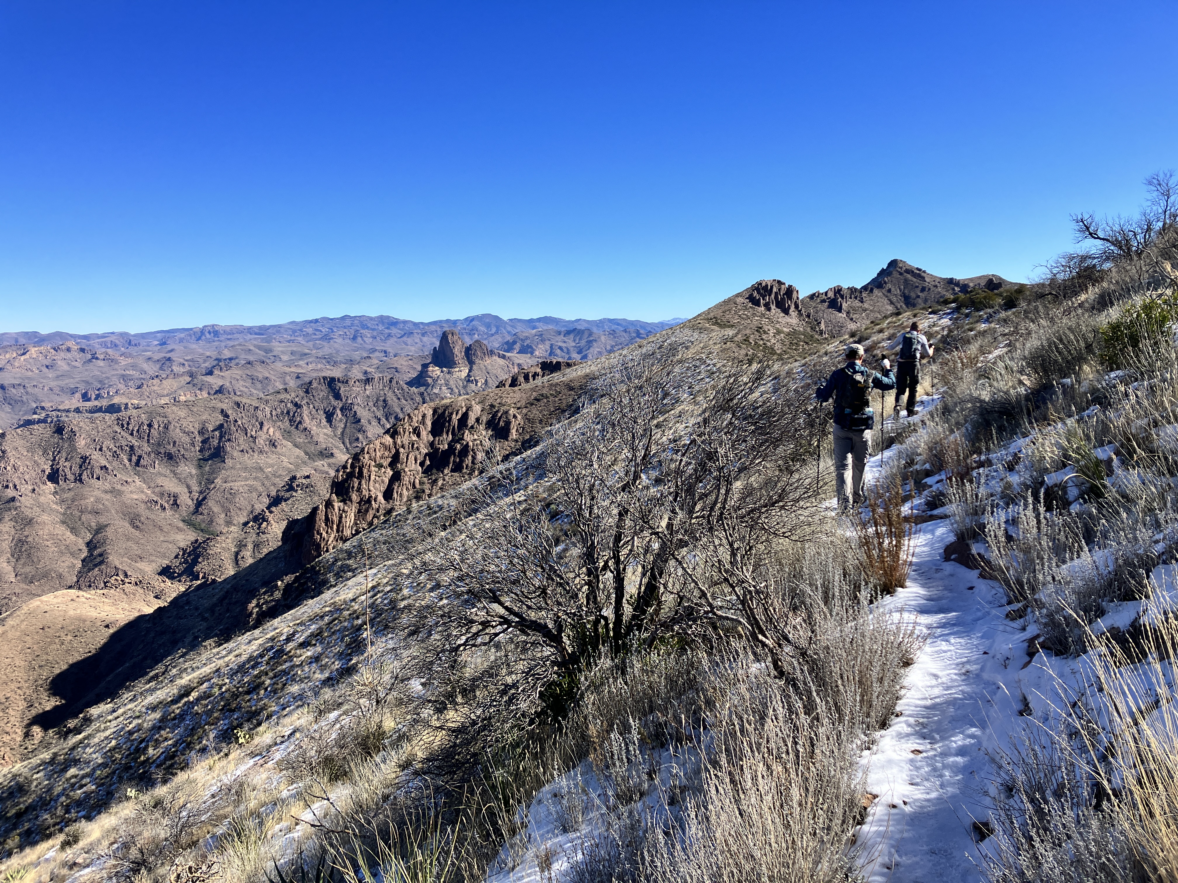
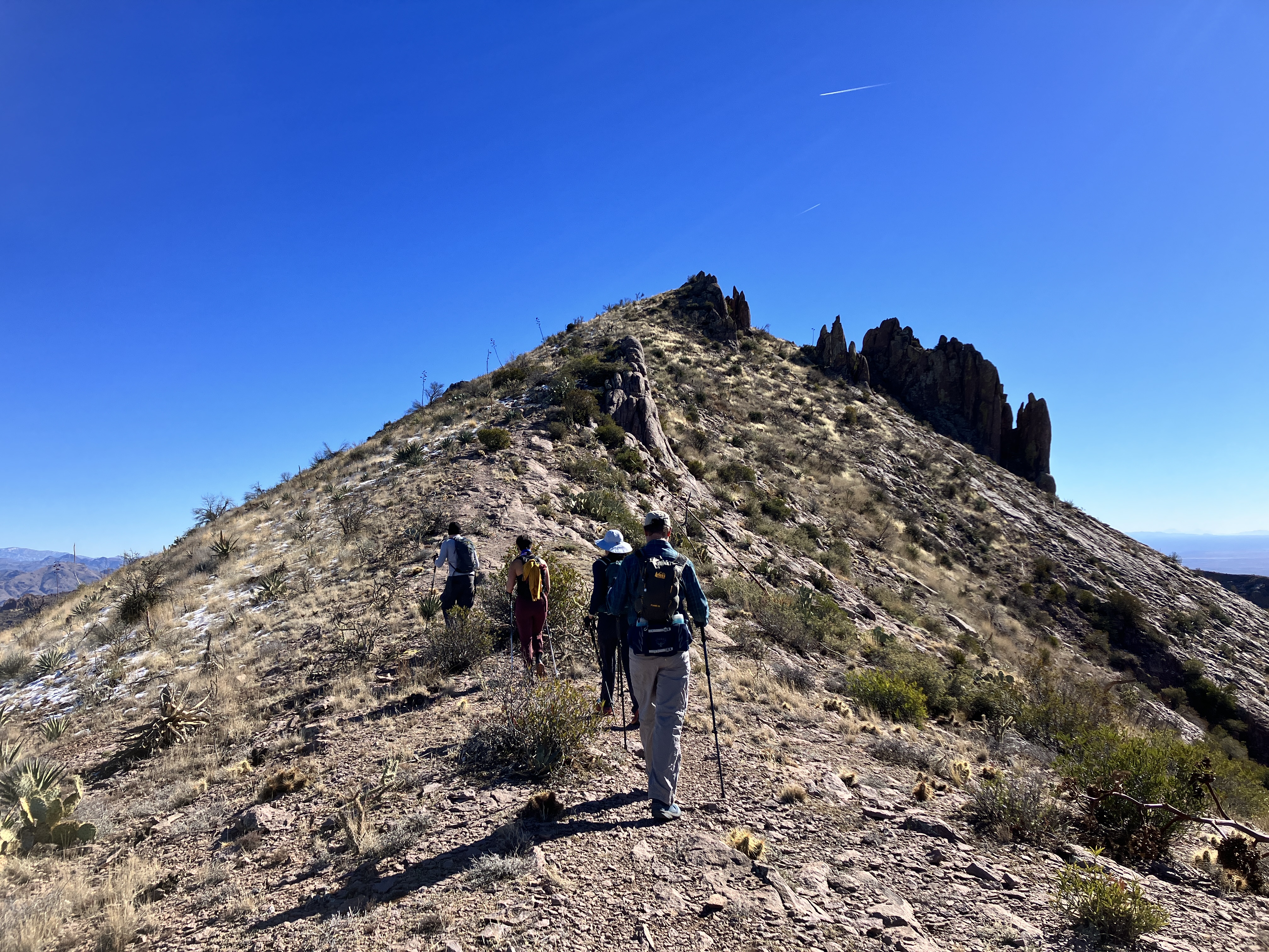
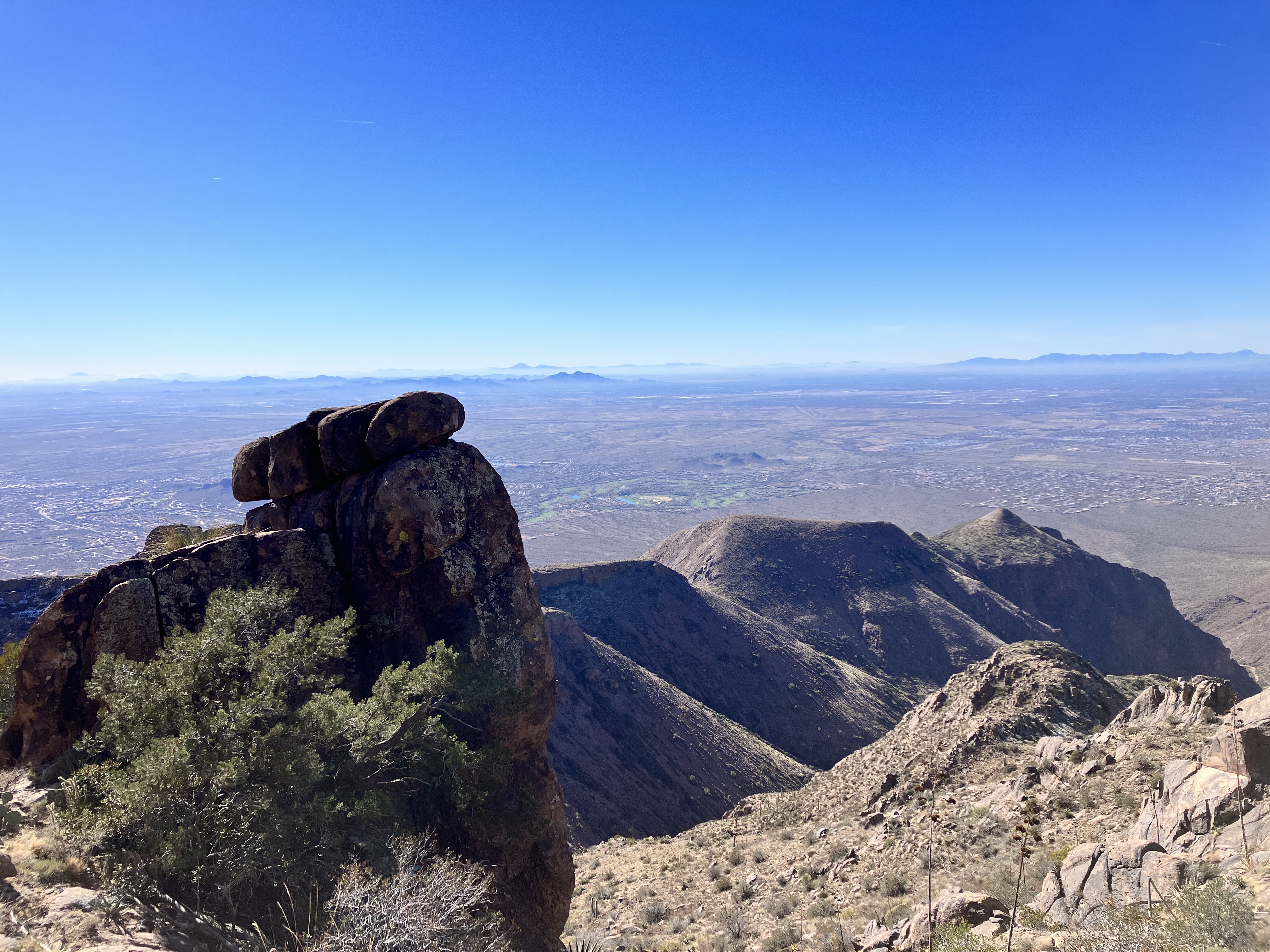
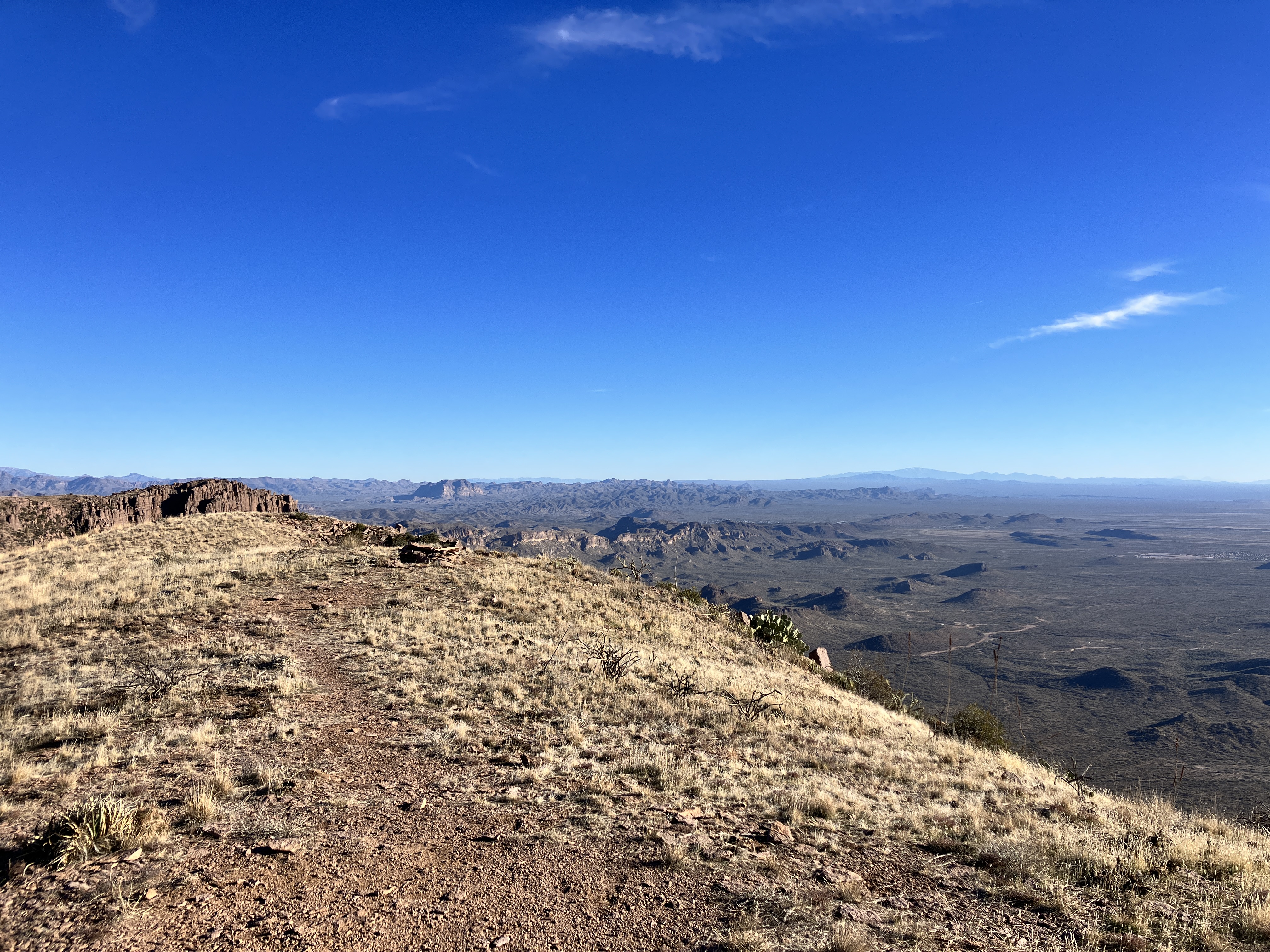
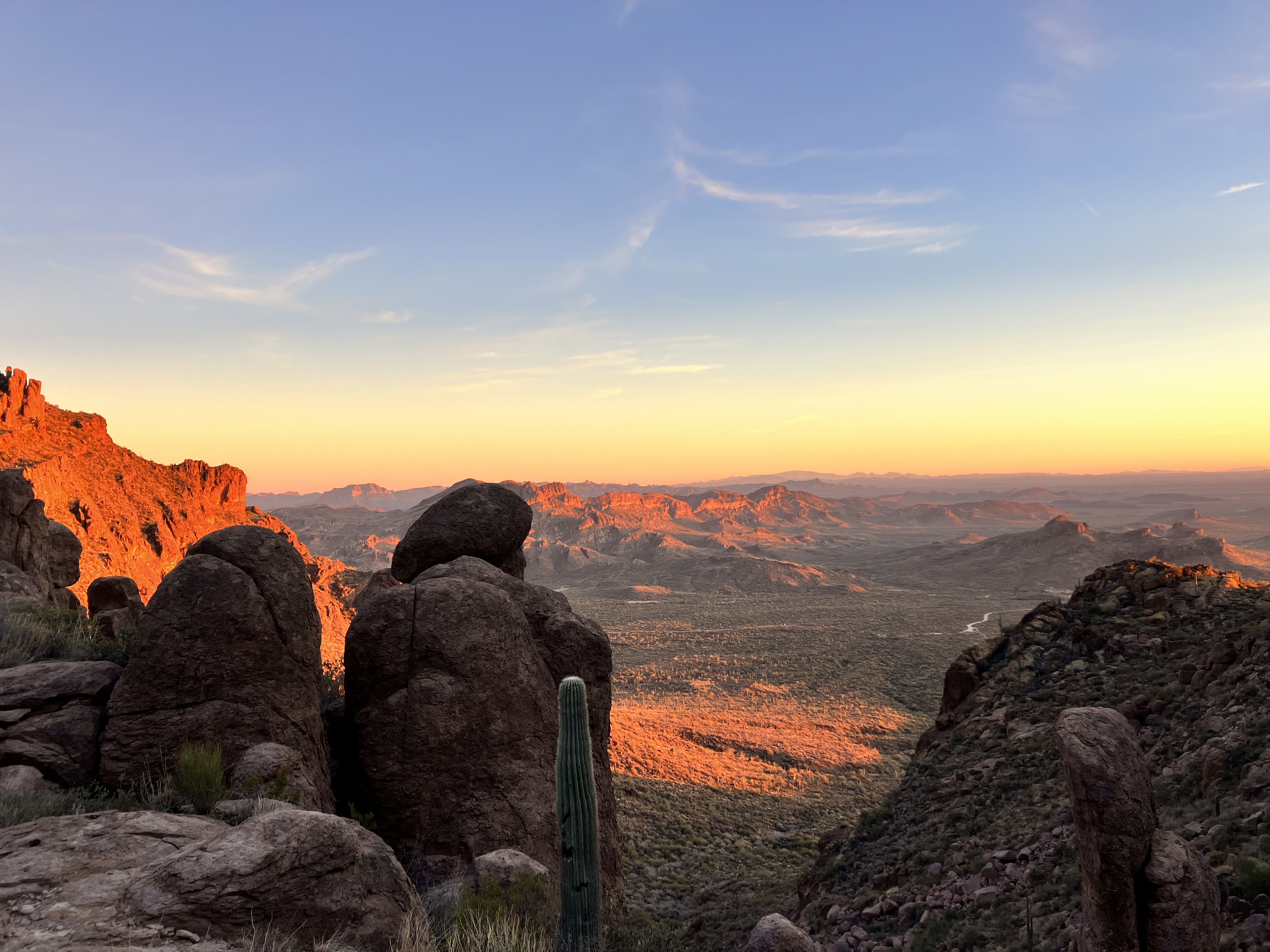
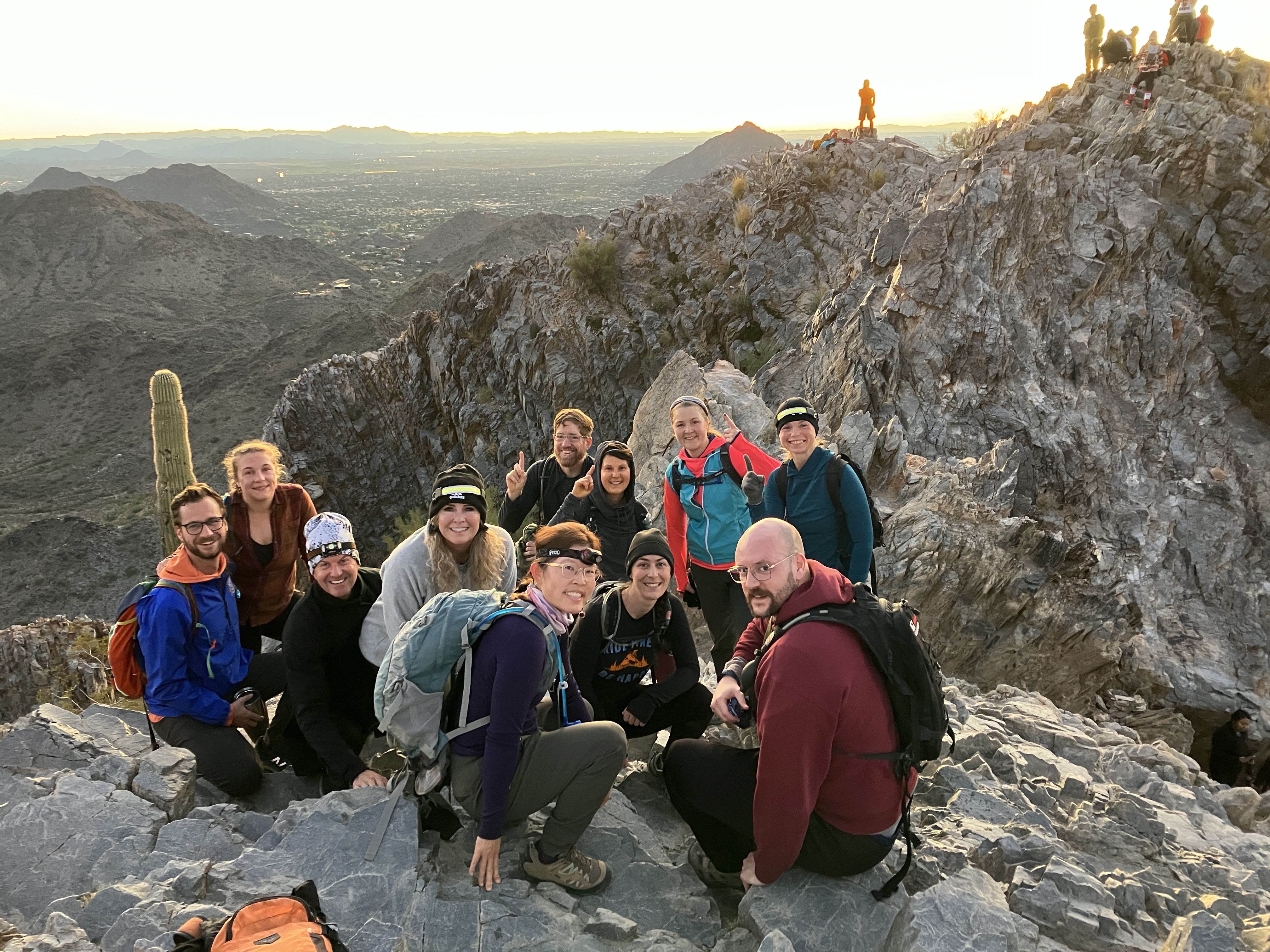
On January 13, 2024, I finally did something that has been on my hiking list for the past 7 years: the Superstition Ridgeline hike. It’s a challenging hike for several reasons: setting up the car shuttle before the hike starts, the climbing, and the route finding. My Garmin said that I hiked 14 miles (22.5 km) and climbed 5,098 feet (1,554 m). Although it was a very long day, the views were totally worth it. I definitely plan on doing this hike again.
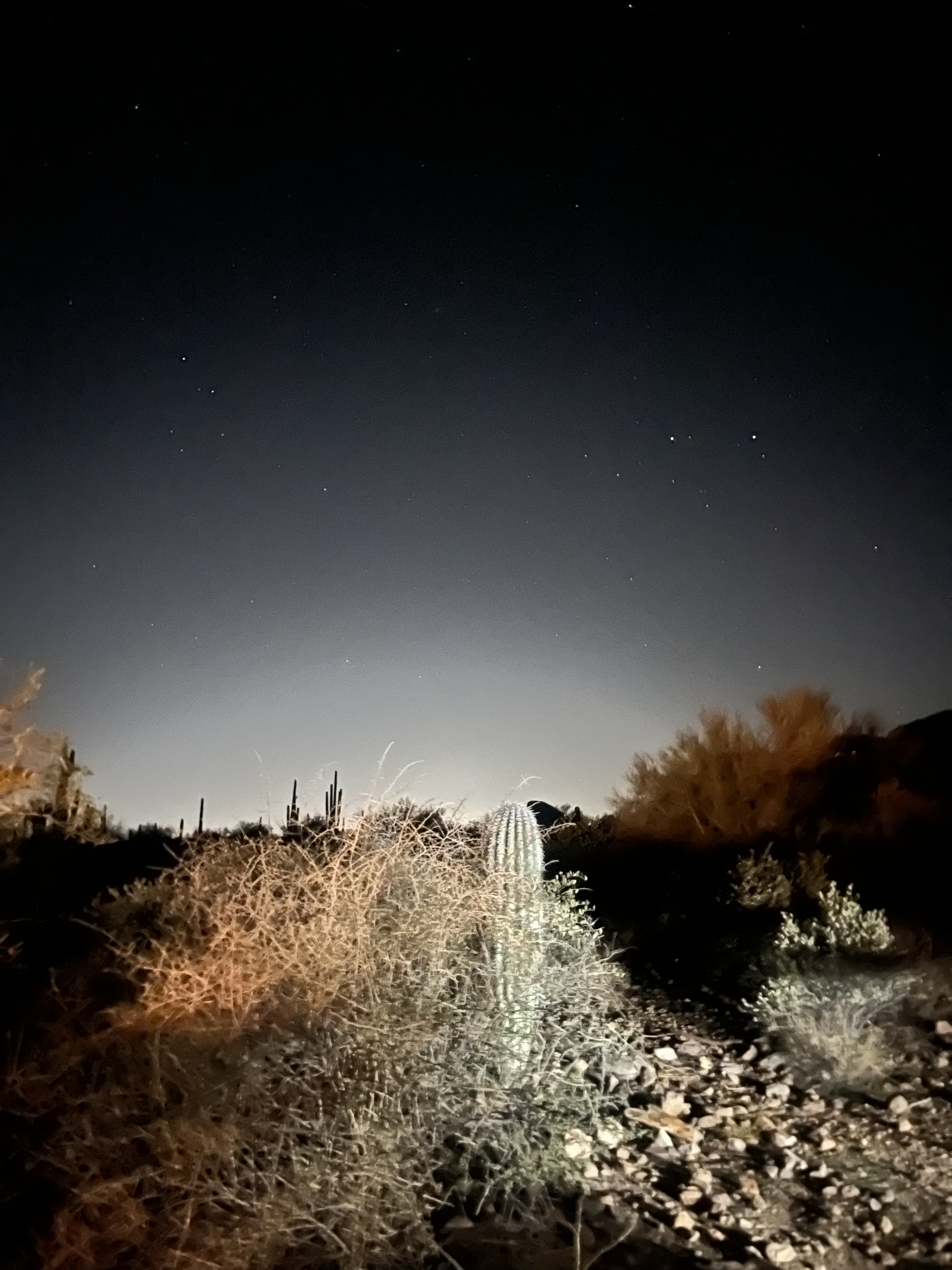
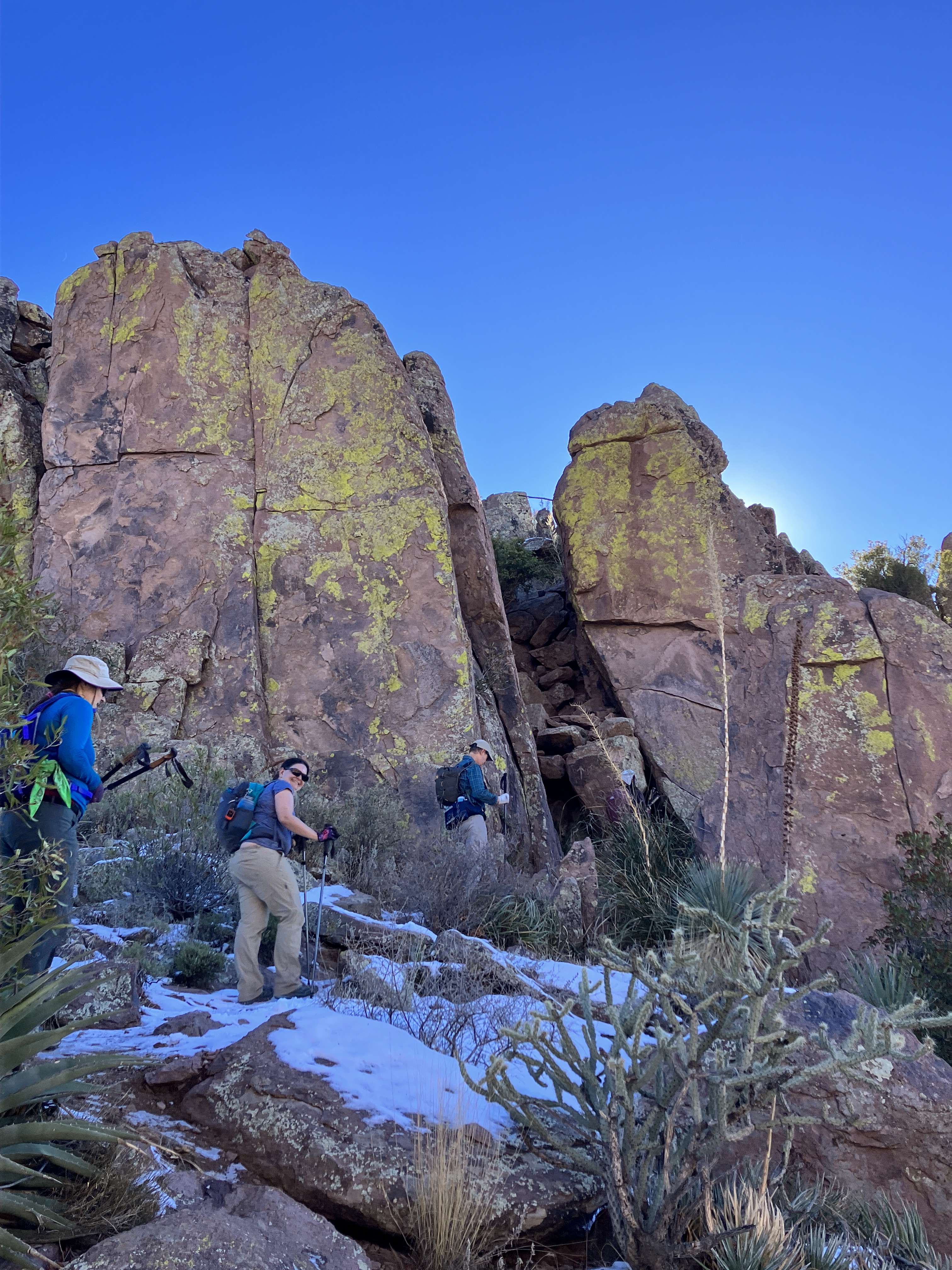
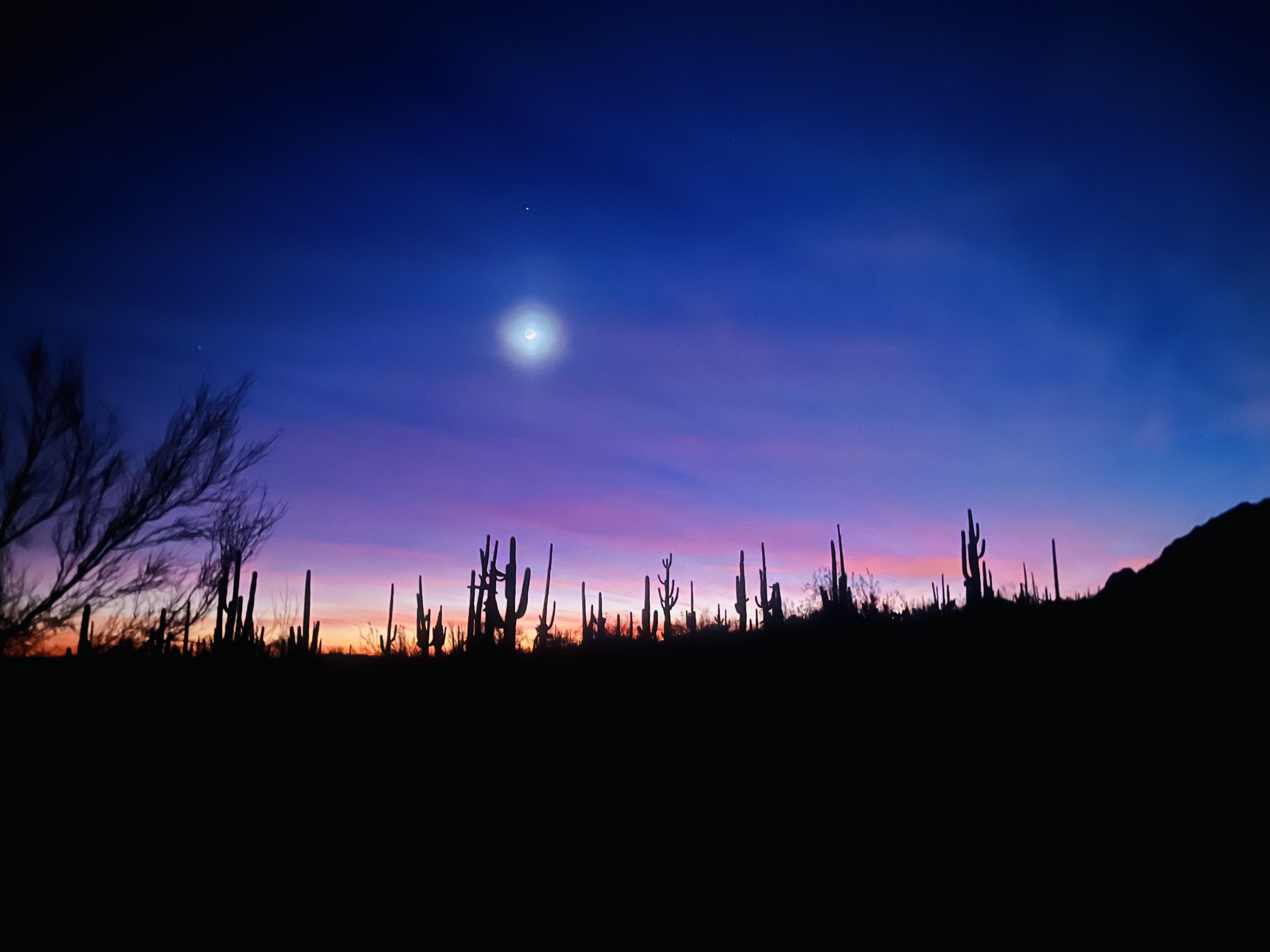
My day started with a very rude alarm at 4:30am. I left at 5am, arrived at the Carney Springs trailhead by 6am, helped set up the car shuttle, and started hiking at 6:50am. (For those of you who are wondering what a “car shuttle” is, that means leaving a few cars at the meeting point and driving the rest of the cars to the starting point. The hike is a one way hike, so at the end of the day, the owners of the cars at the meeting point, i.e., end point, drive all the hikers to the other side. We finished hiking and arrived back at Carney Springs at 6:50pm, which was exactly 12 hours.
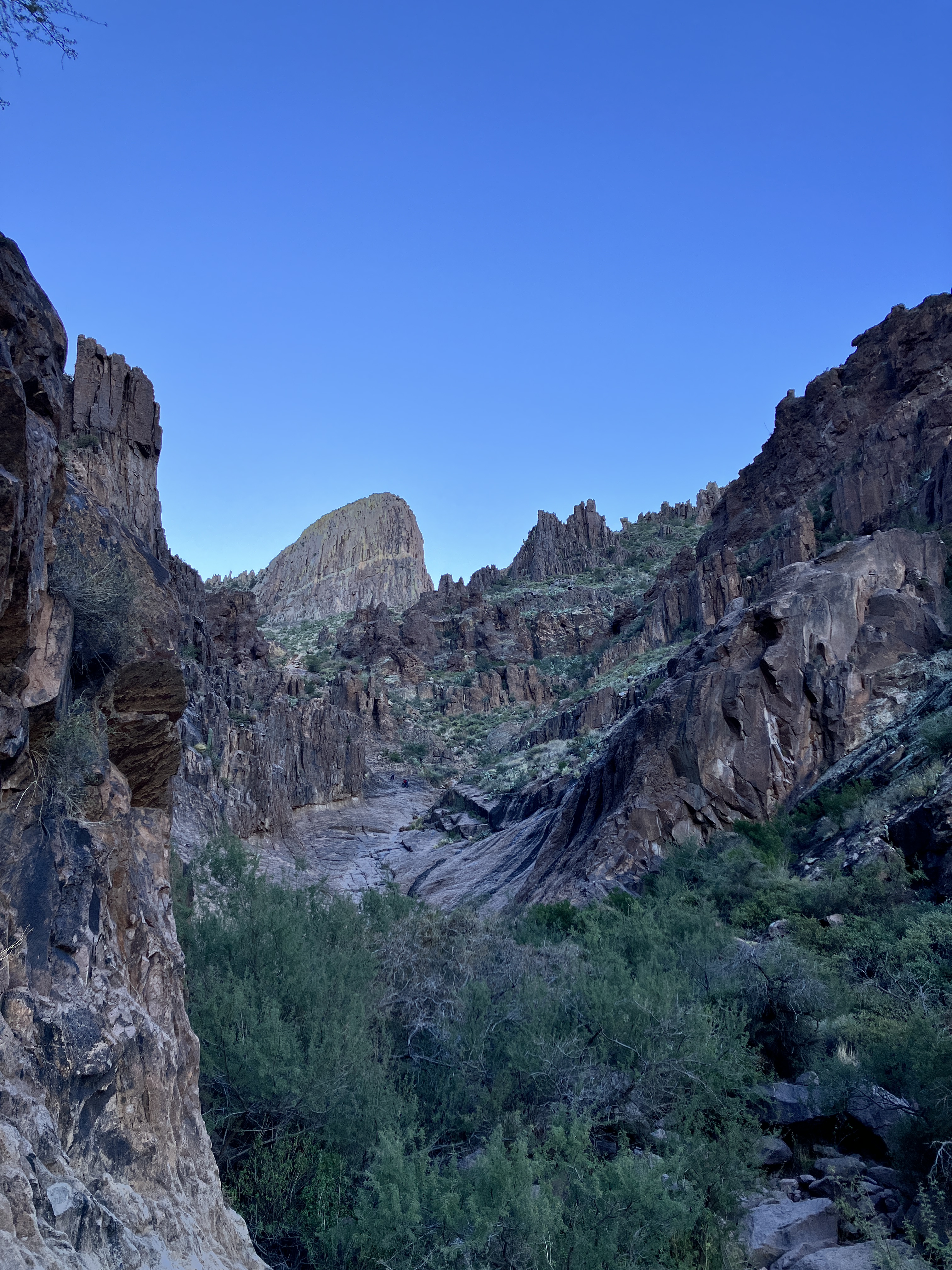
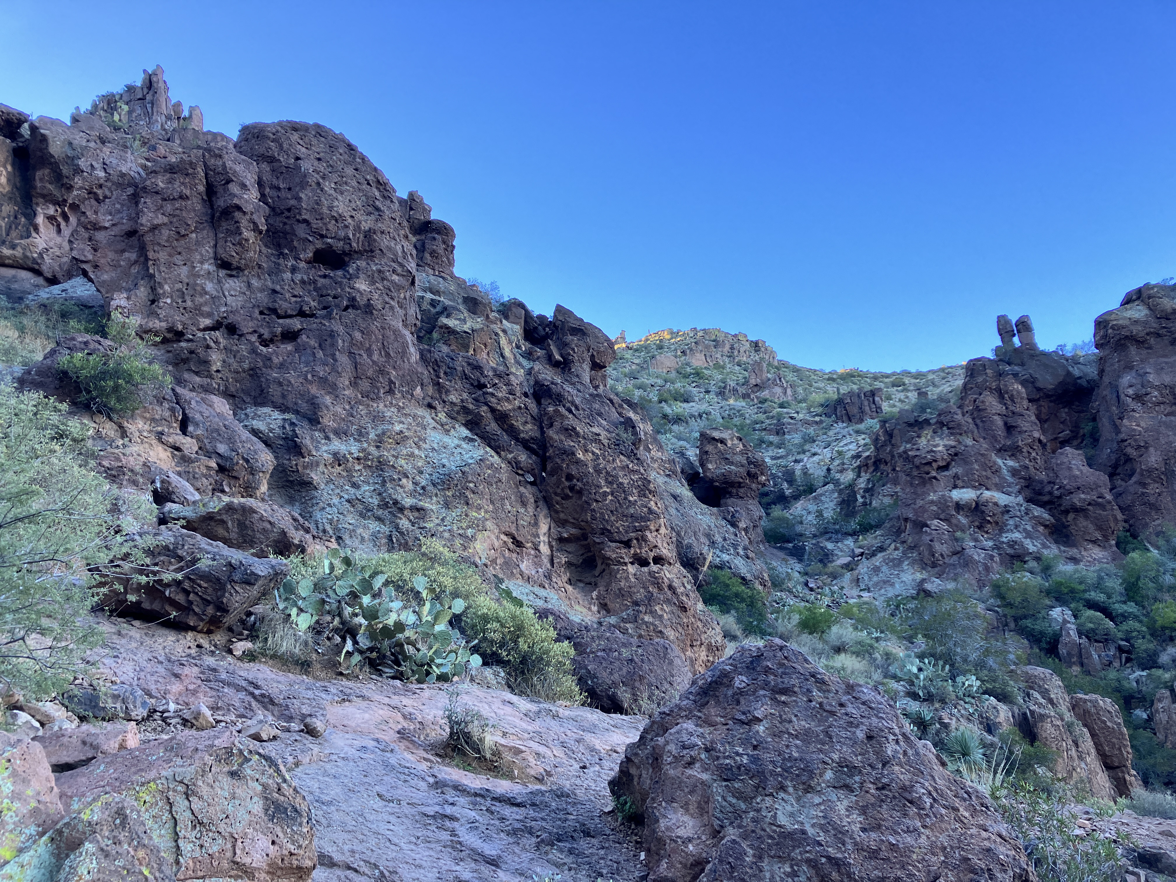
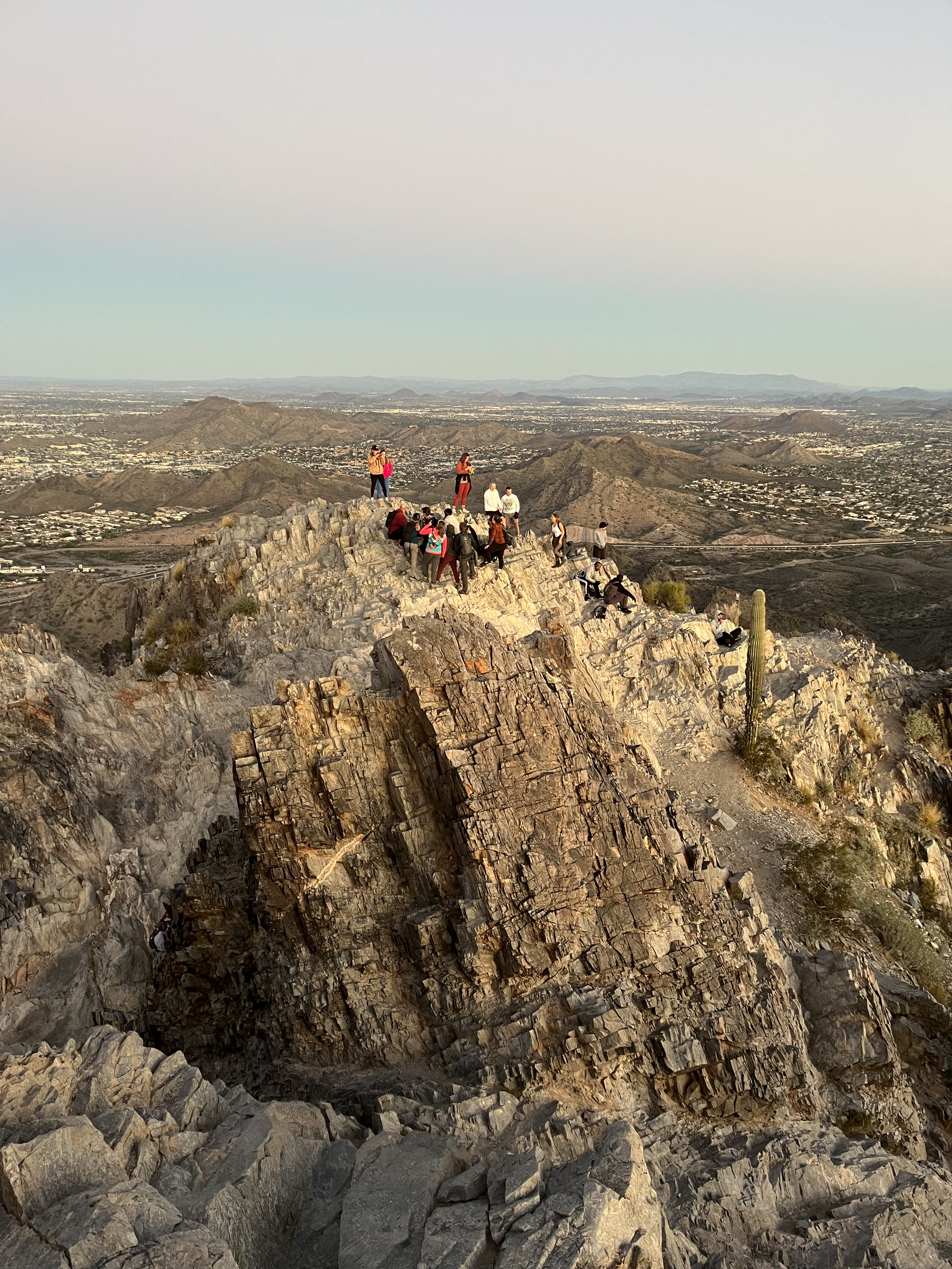
The temperature started out chilly, but we quickly warmed up as we started climbing up to the Flatiron. I found it hard not to take photos and was delighted by all the scenic photo opportunities. We were treated to gorgeous views everywhere we looked! When we reached the ridgeline, we saw snow and ice on some sections of trail. Some people chose to slide down those sections of trail on their rear ends because those parts were so slippery!
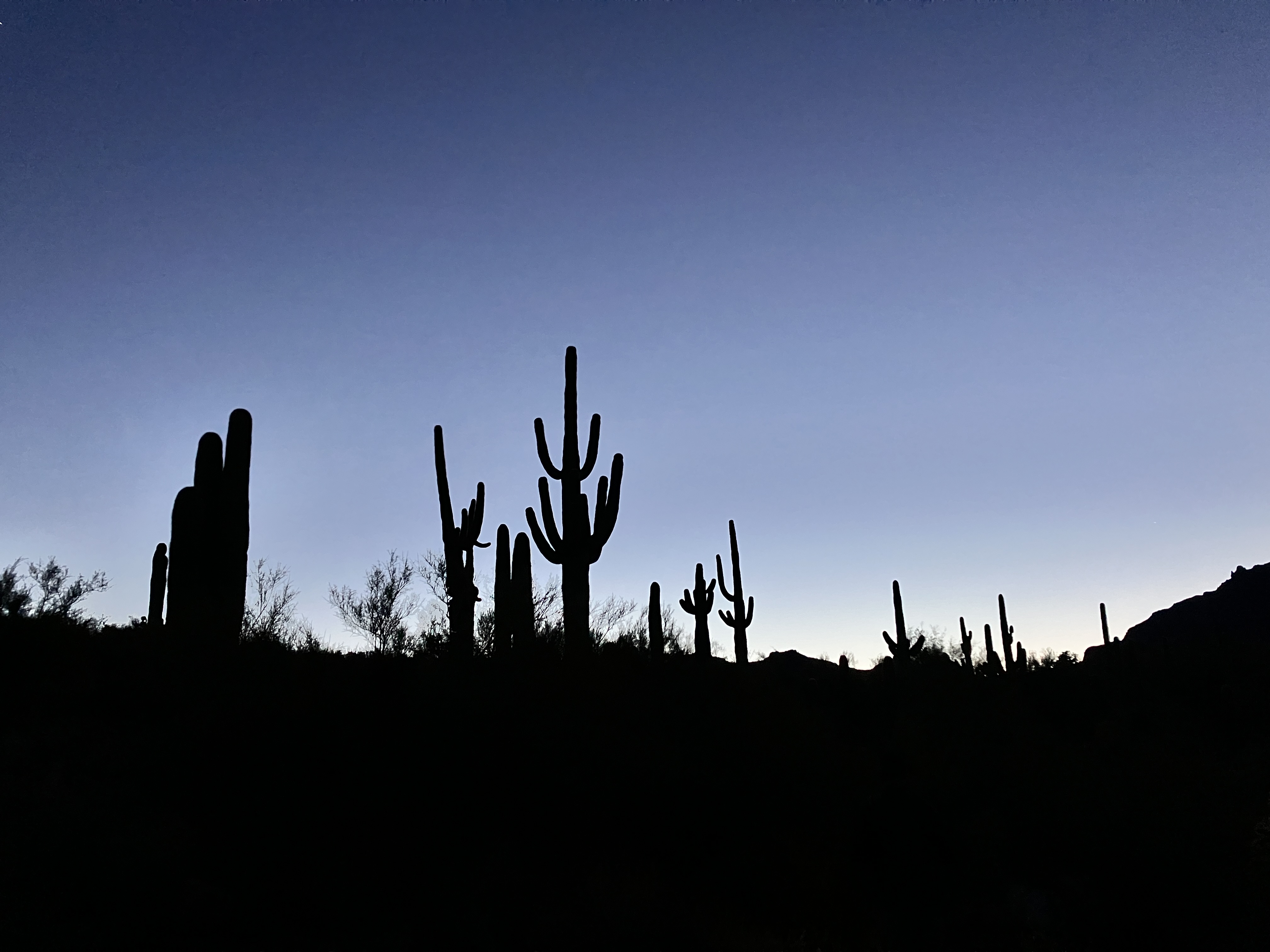
It was pitch black when we started the hike. This photo was taken while wearing a headlamp!Silhouetted saguaro cacti.Starting to get some daylight.We were a bit chilly at the start!My attempt at an “artsy” picture of the Superstition Mountains.Our first goal is the Flatiron, which is right in the middle of the photo.The Flatiron is a bit closer.Closer, but still far away.Getting higher…Almost finished the climb up to the Flatiron.Snow and ice on the trail.More of the same.View on top of the Flatiron.Now starting the “ridgeline” part of the hike. We hike across the Superstition Mountains now!Group shot.So many great views!More snow on the. trail.There was still plenty of climbing to do.Another expansive view.We got to climb up the chute in the middle of the photo.Probably about 3:30pm here?Starting to cool down again.Had to get a photo of the pretty light. We are hiking down to the Carney Springs trailhead.Golden hour.We did it!
What I wore, used, and ate:
puffy jacket with hood
Smartwool base layer
hiking pants, socks, shoes
cycling windbreaker — I brought this and wore the vest for part of the day (the arms zip off).
SaltStick electrolyte tablets
ibuprofen
headlamp
poles
mittens AND gloves
sunglasses
headband
sunhat
sunscreen and lip balm
basic first aid supplies (including tweezers)
3L of water (didn’t finish)
Half a burrito from the previous night’s dinner
a peanut butter and jelly sandwich
a half dozen snacks (Skratch Lab chews, fig bars, Kate’s Real Food bar)
I did not bring too much of anything! However, the weather was really great, which helped. I’m looking forward to my next Ridgeline hike!
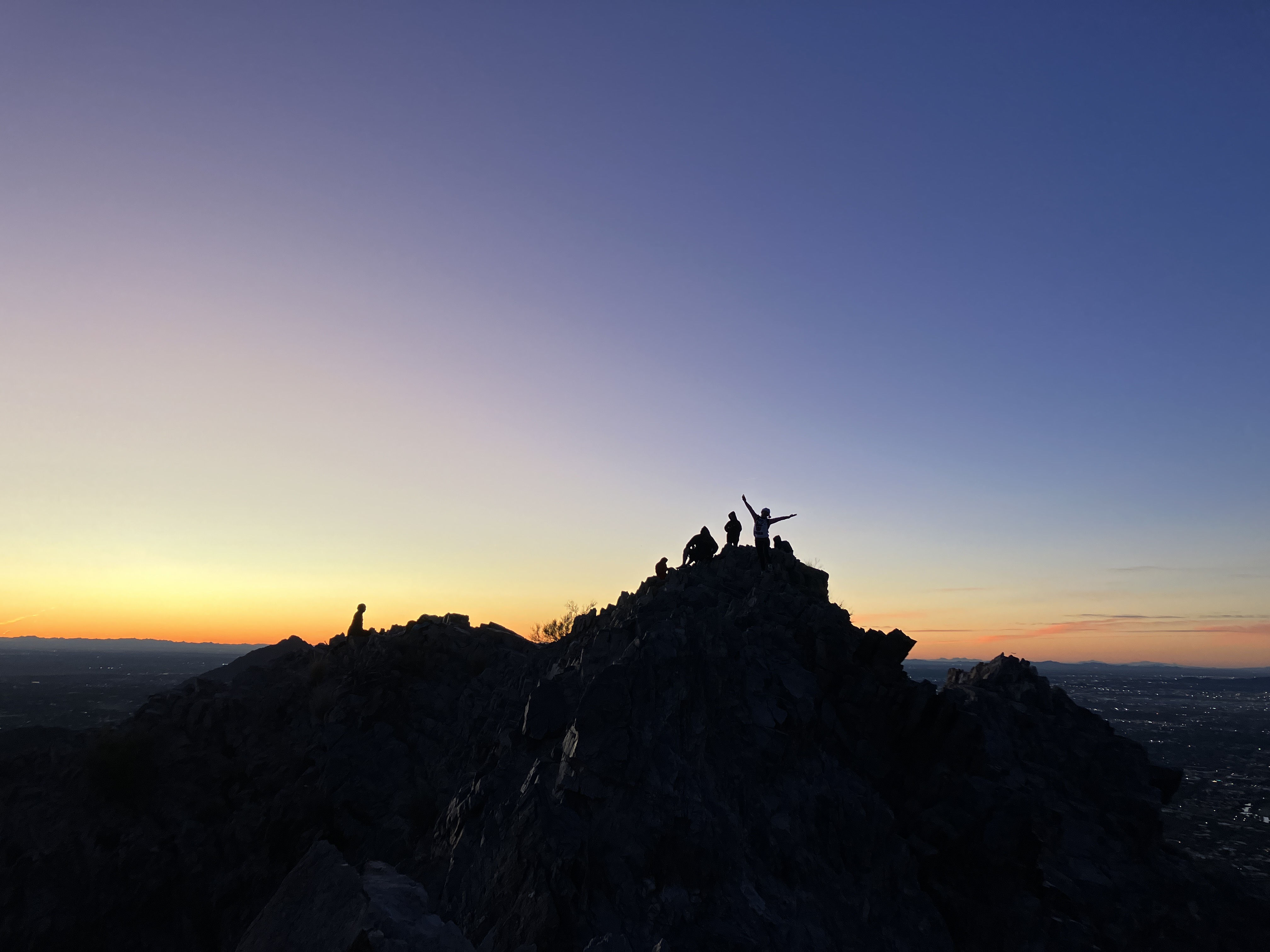
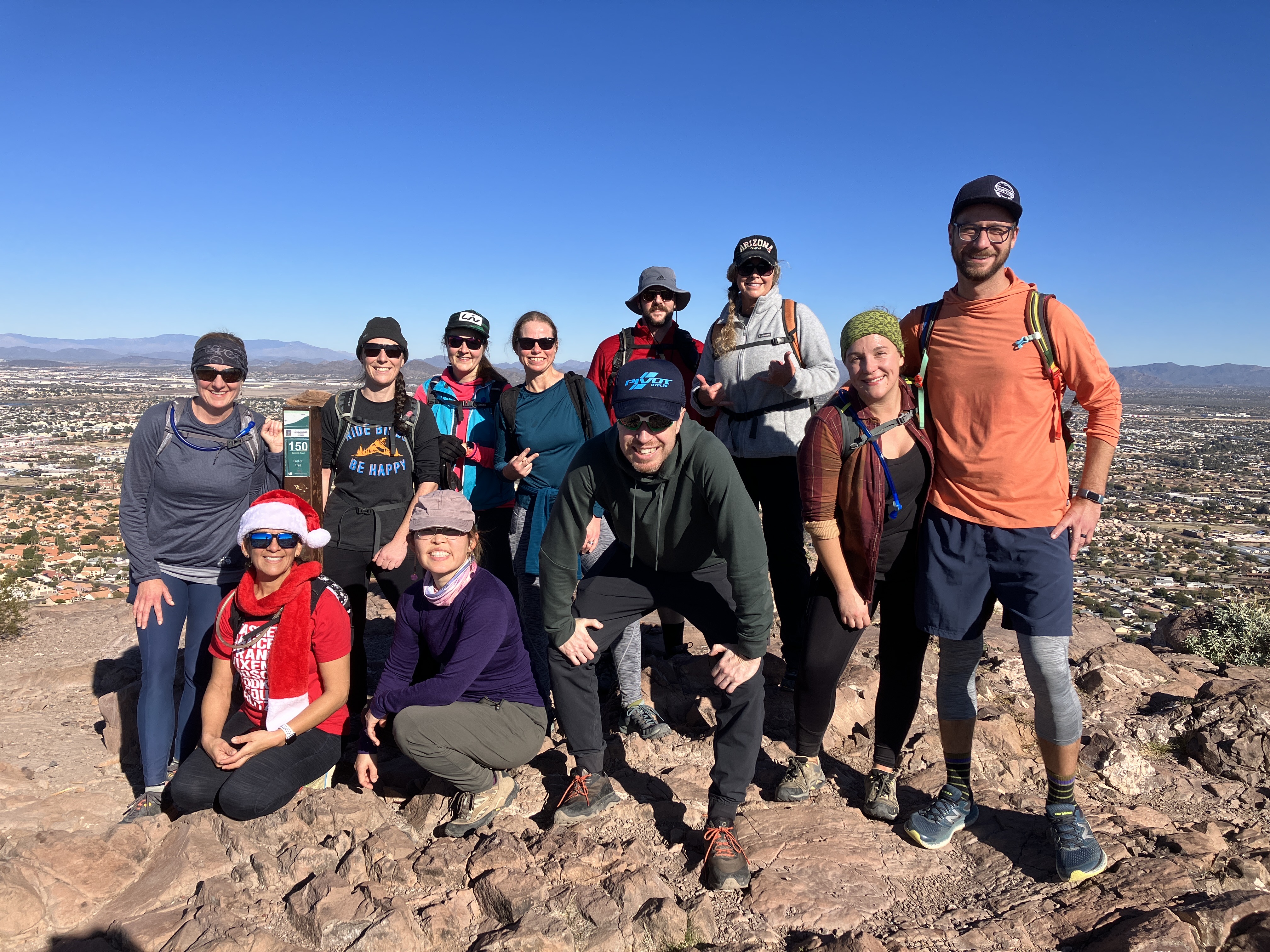
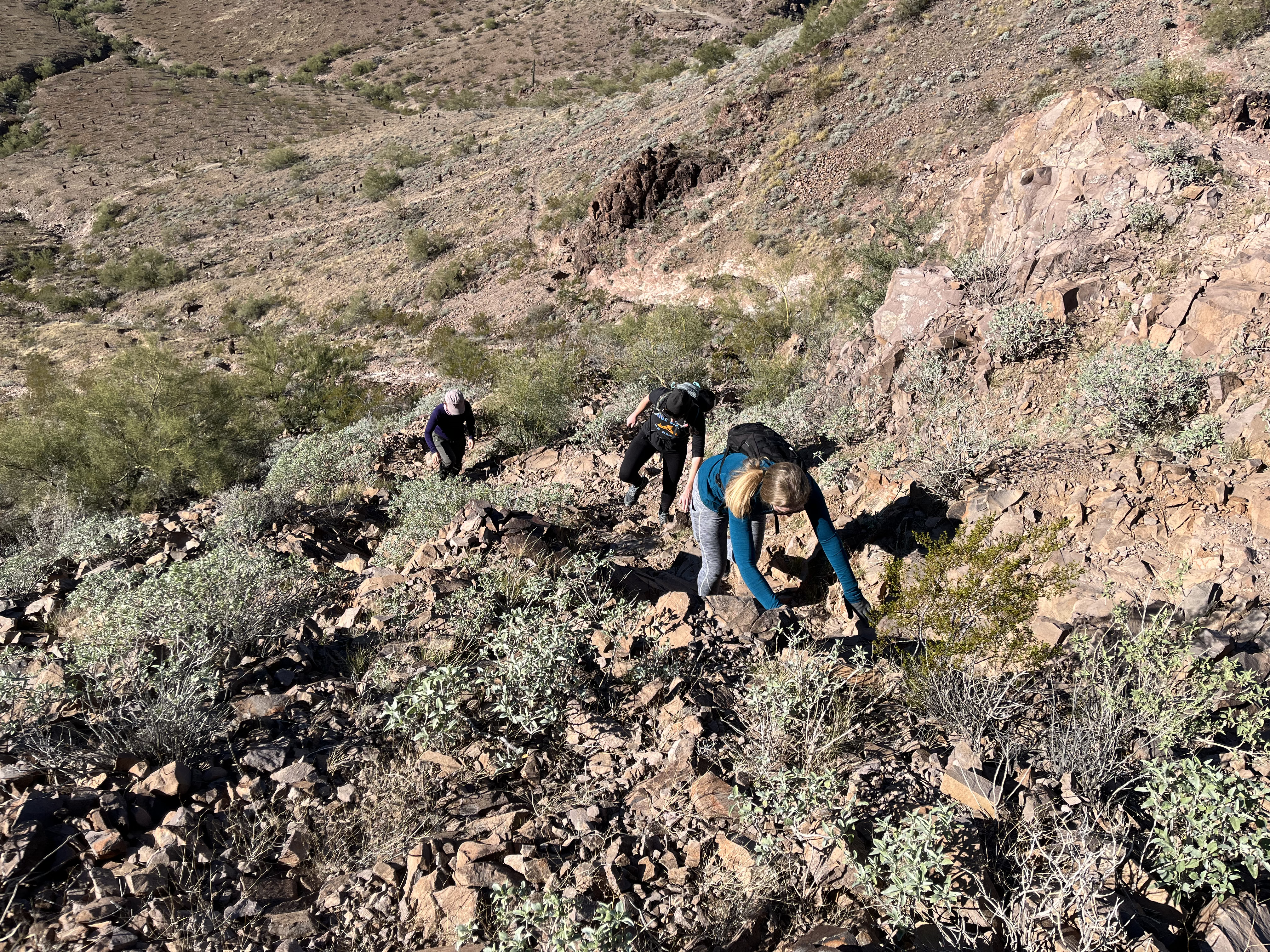
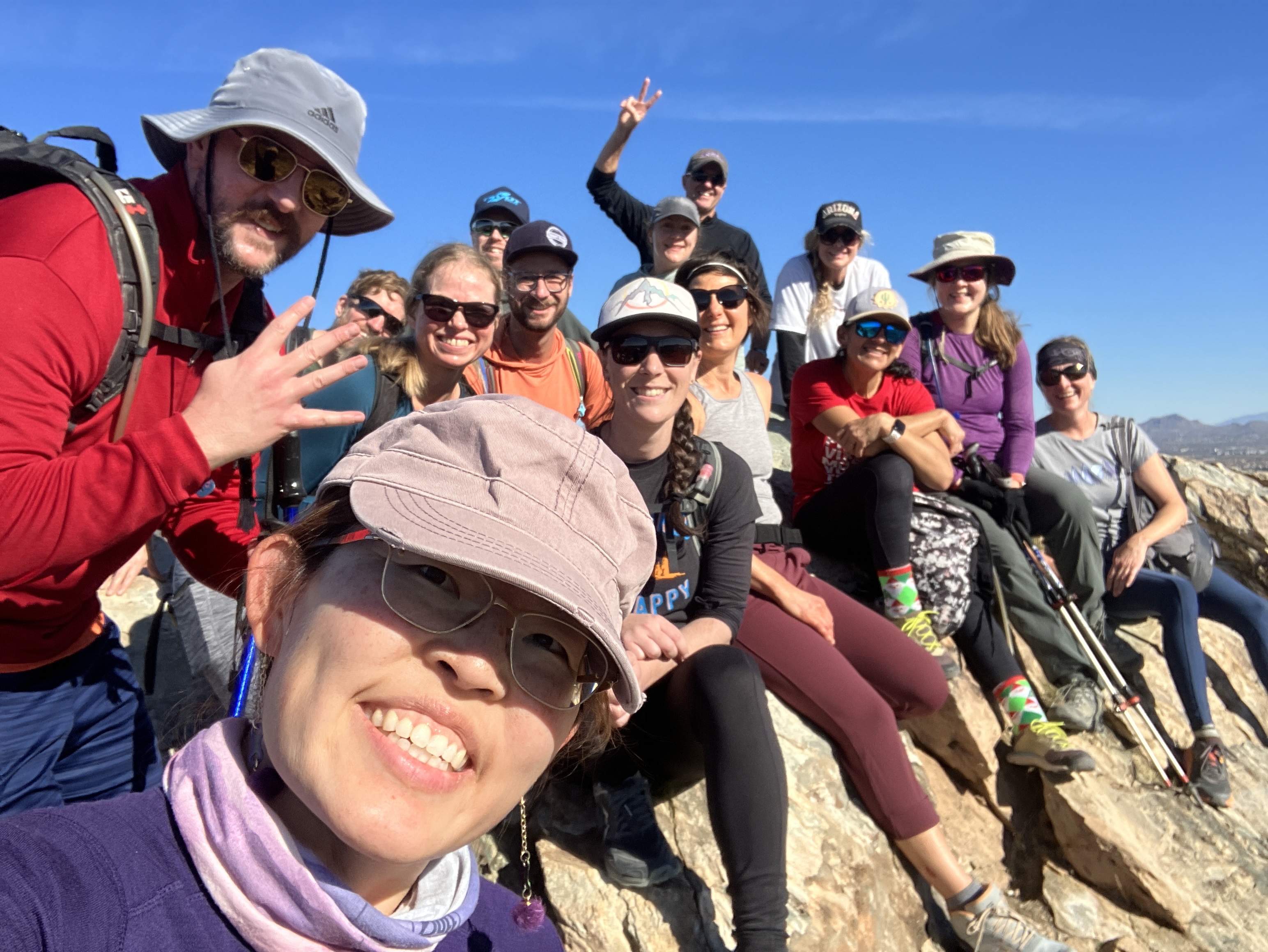
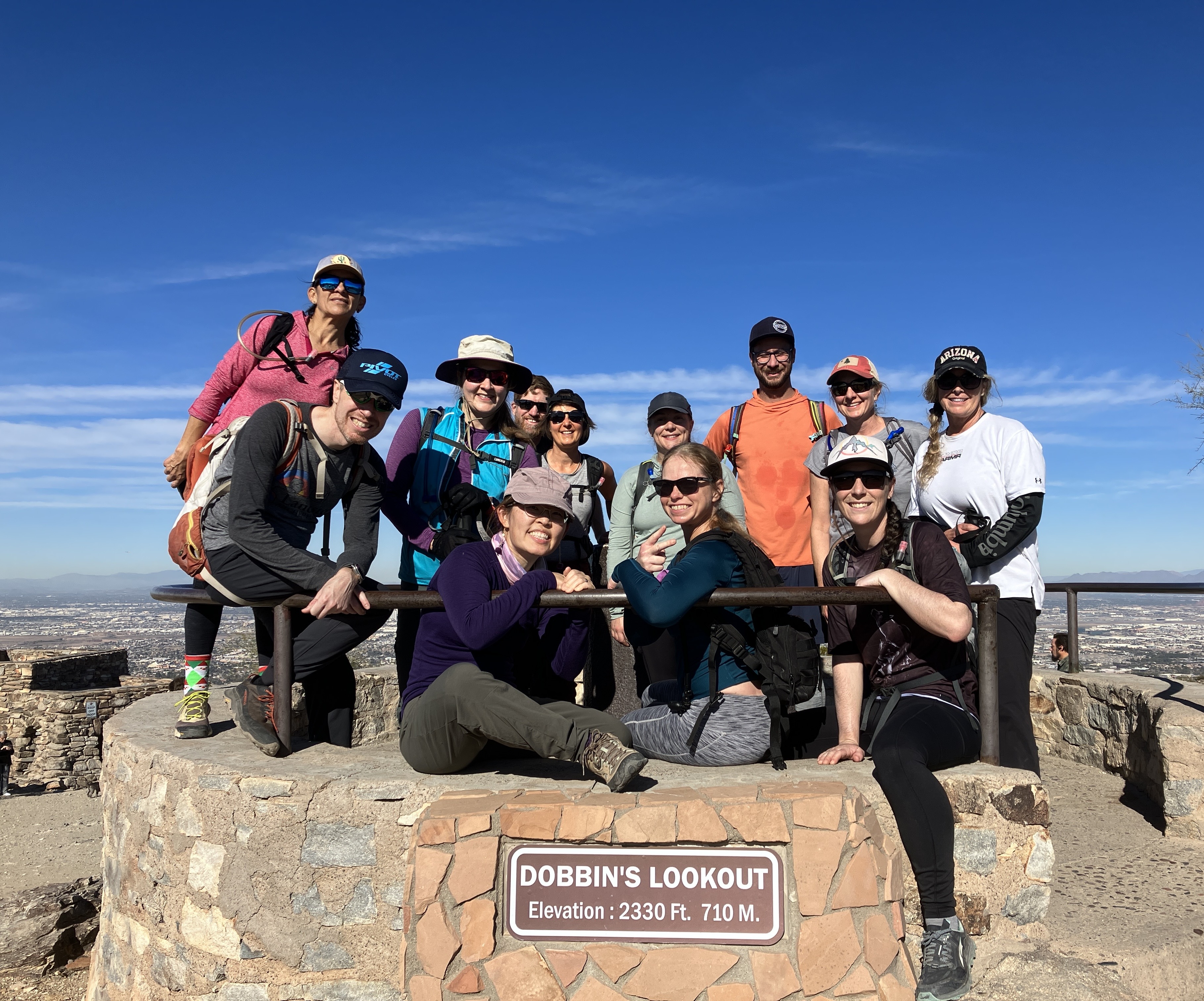
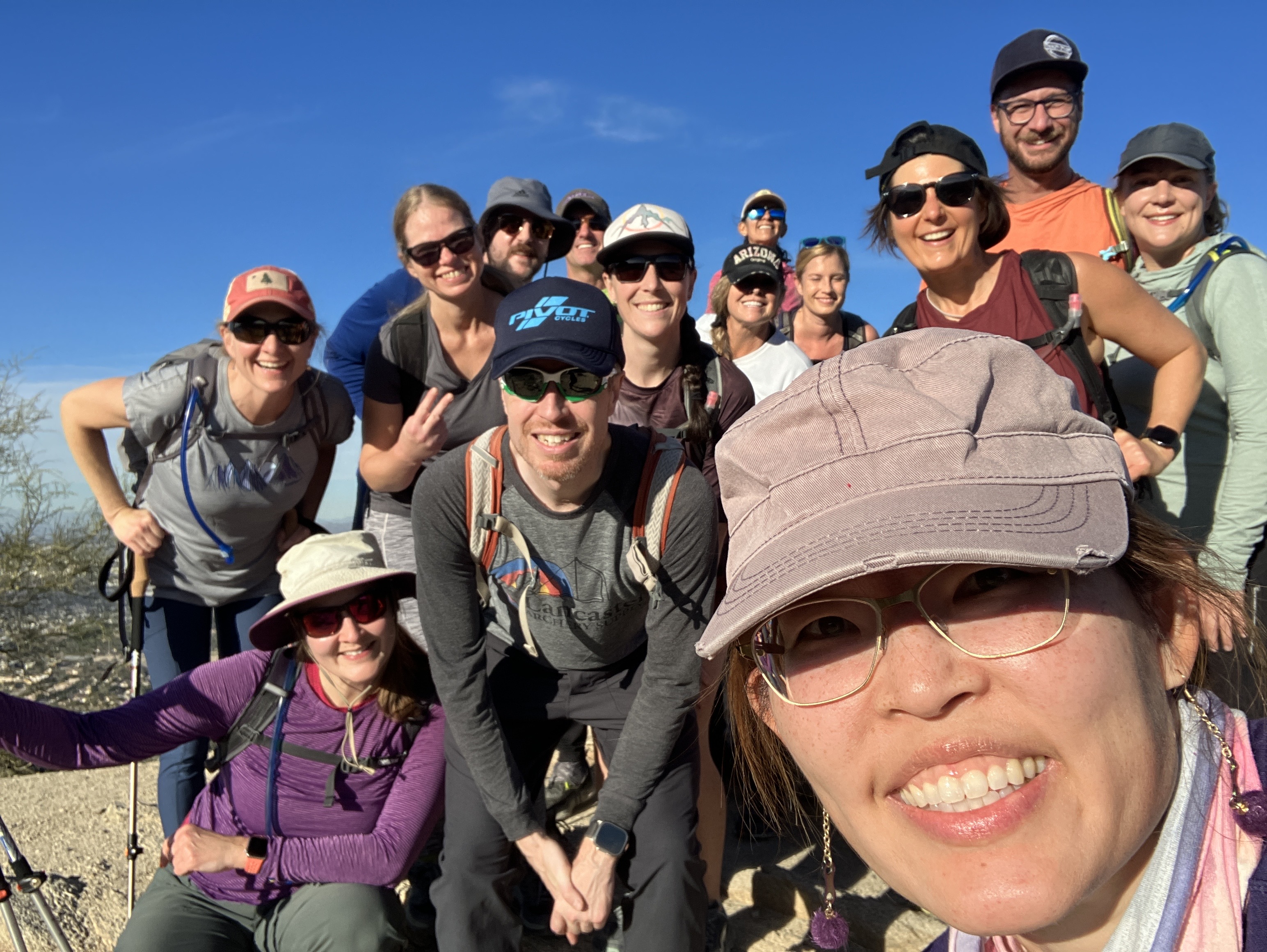
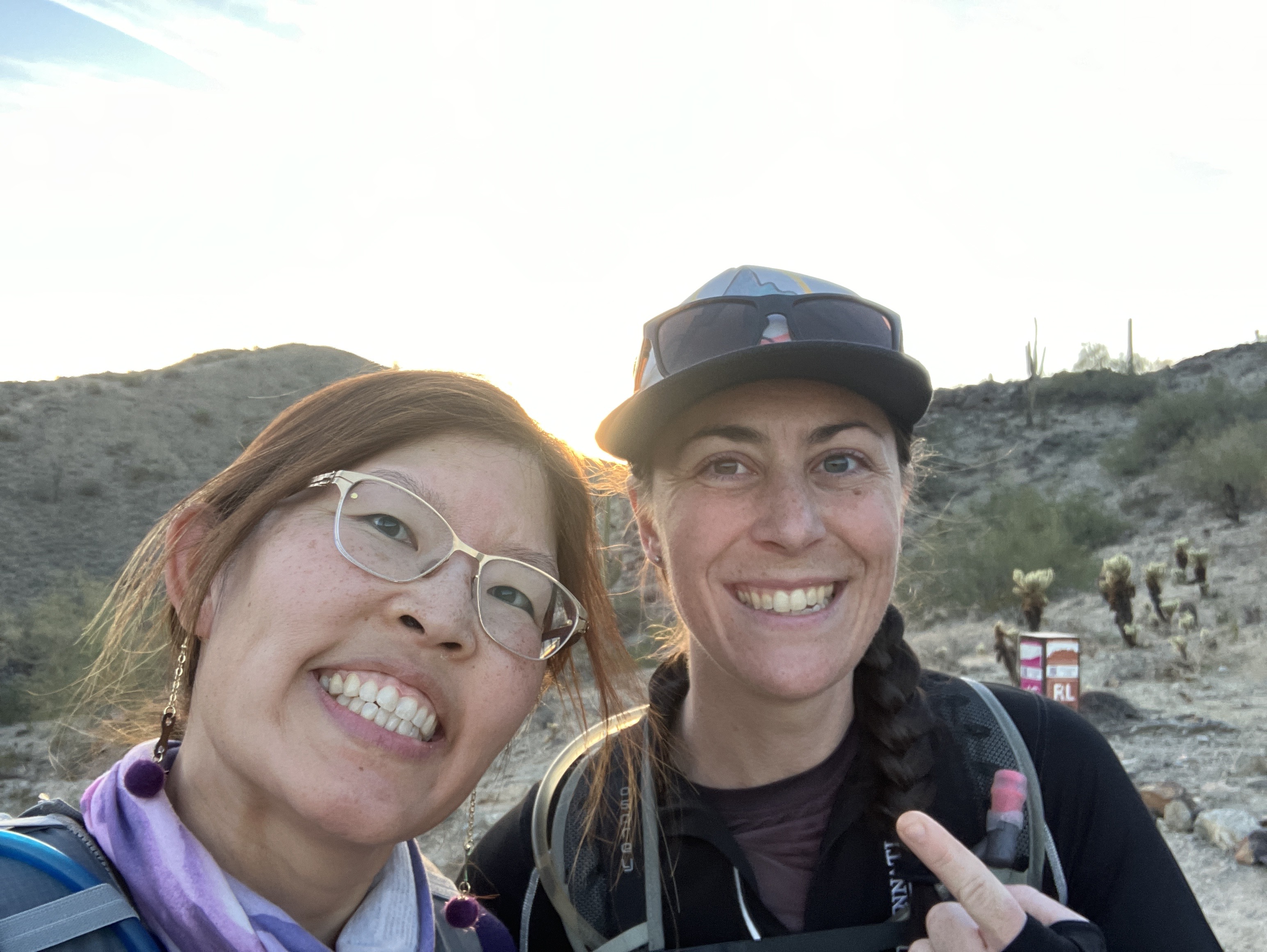
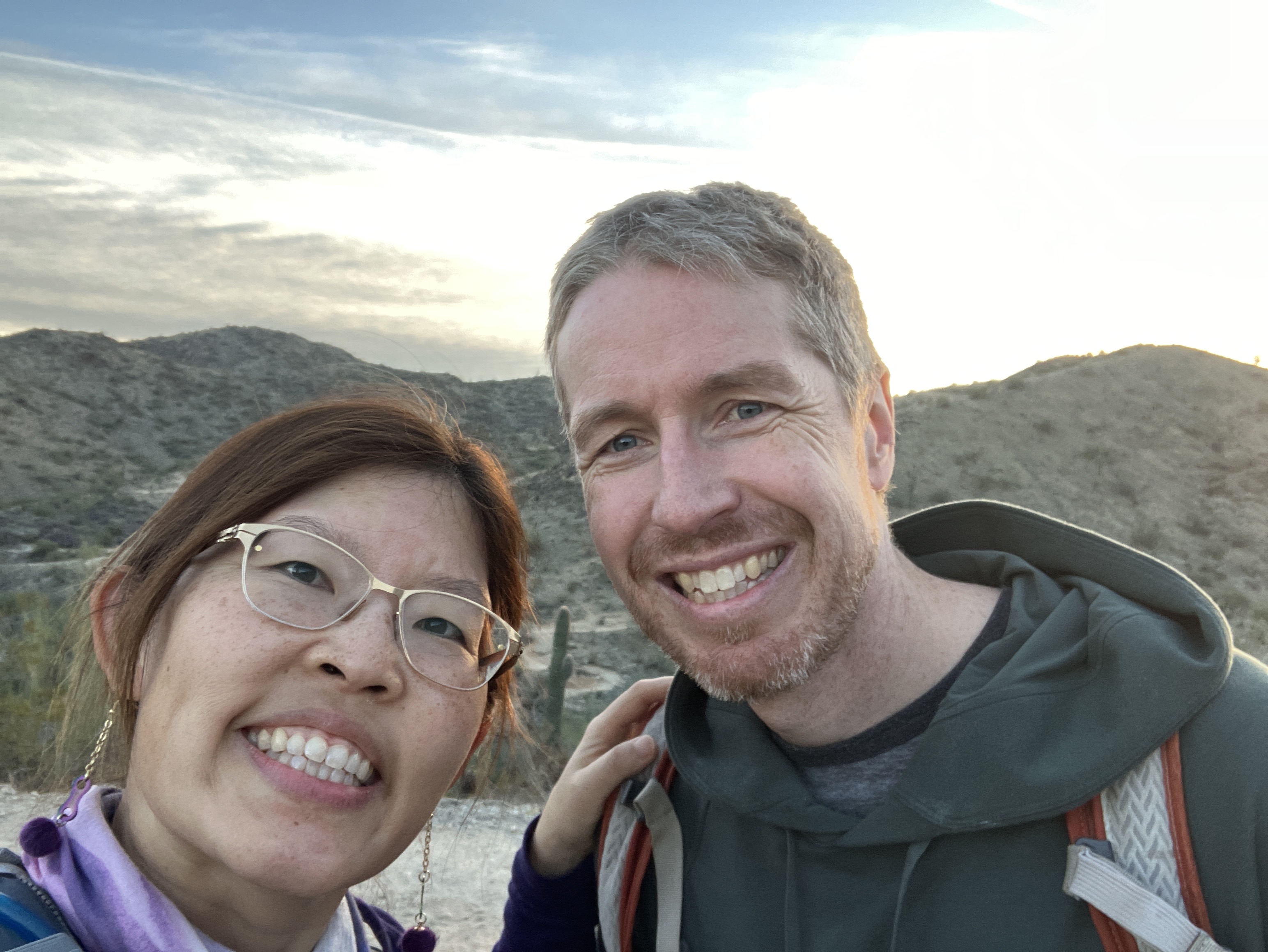
This past weekend, a hardy group of hikers completed my annual DIY 7 Summit Challenge. The event is based on the official Phoenix 7 Summit Challenge and the goal is to complete all 7 hikes in a day. All 7 hikes are located in the Phoenix metro area. The “DIY” part refers to a few modifications I make to the event, such as the order of the hikes and switching out a few hikes to avoid driving all the way up north. This year’s hikes are the same as last year’s, with 1 exception; I decided to include Shadow Mountain, which I hadn’t even heard of! The 7 hikes for this year’s challenge: Piestawa Peak, Shaw Butte, Lookout Mountain, Shadow Mountain, Holbert, Mormon, and Javelina. I tried to group the hikes geographically, then by perceived difficulty. For example, the first 4 hikes are all within a 10-15 minute drive from each other and the last 3 are also relatively close to each other. Also, the first 3 hikes started “hard” (i.e., Piestawa is 2.73 miles long and gains almost 1,200 feet in elevation. Shaw Butte and Lookout are easier because they don’t have as much elevation gain.), the 4th one is short (i.e., Shadow Mountain is 1 mile round-trip), and the last 3 follow the same pattern of difficulty as the first 3.
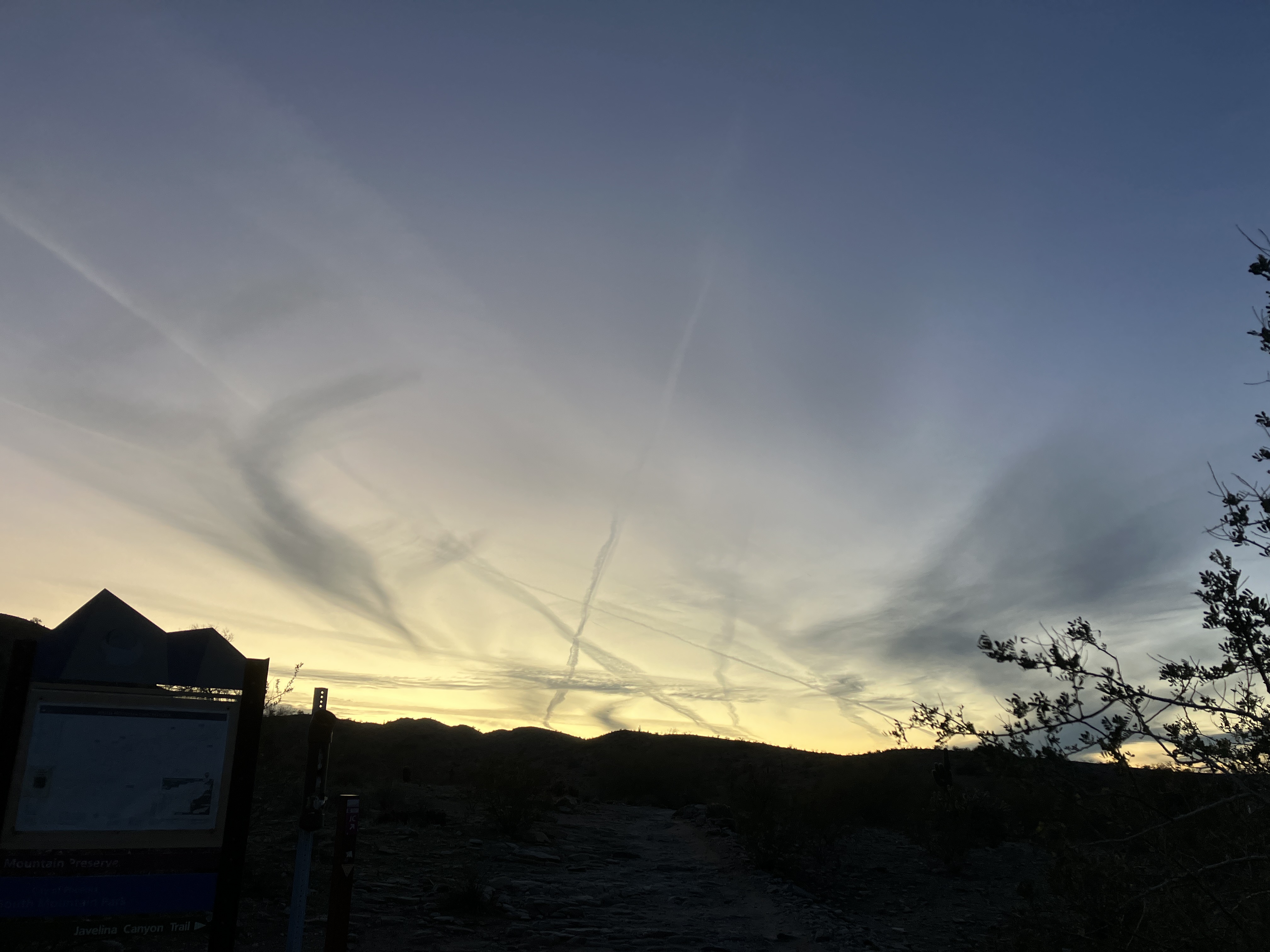
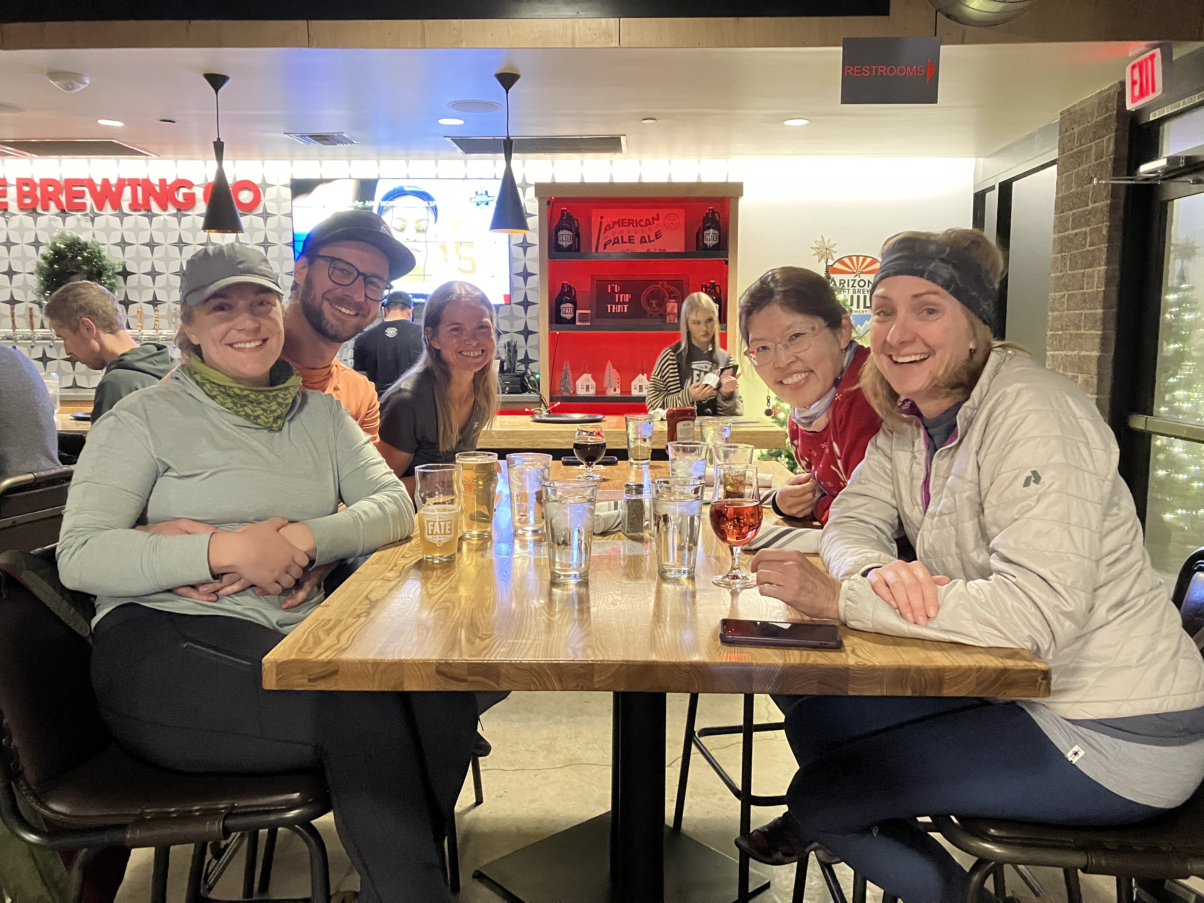
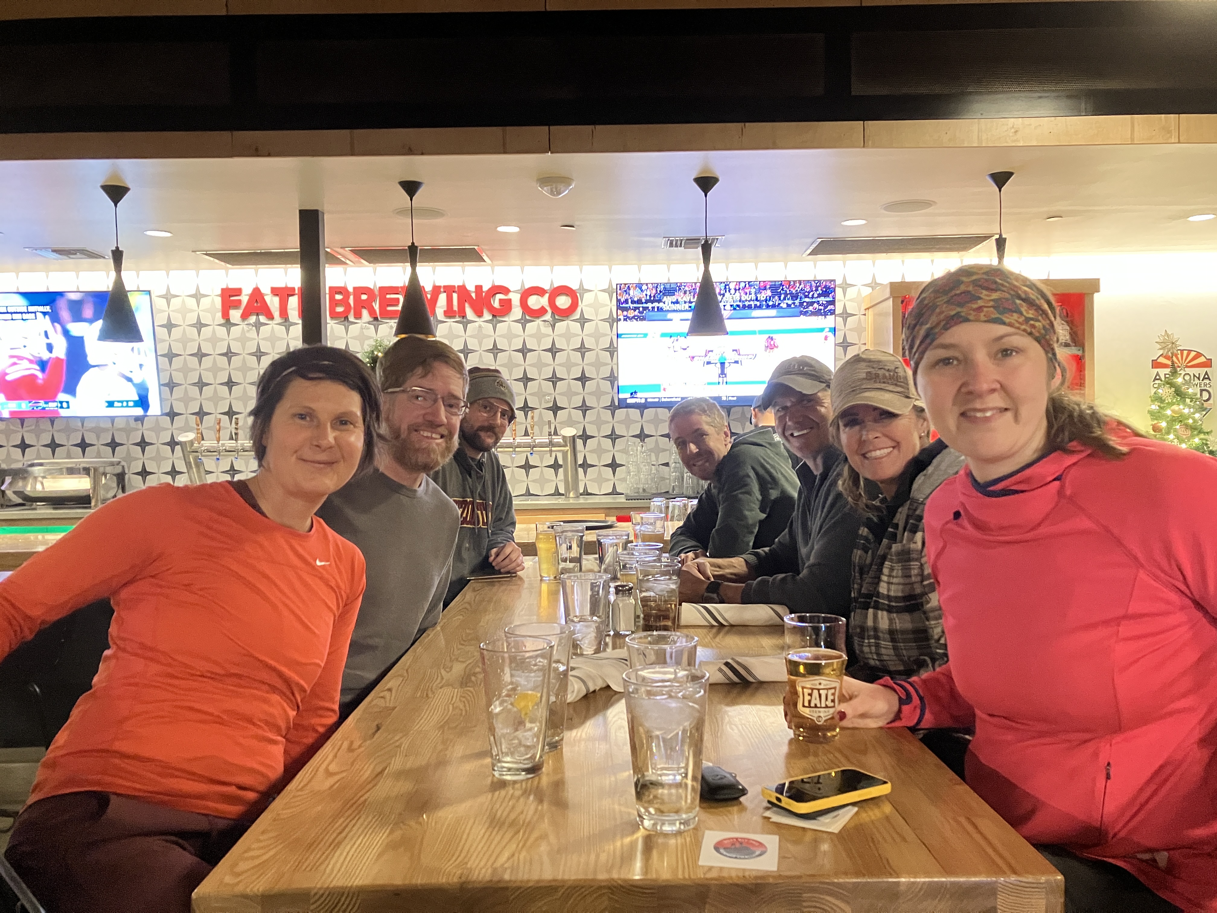
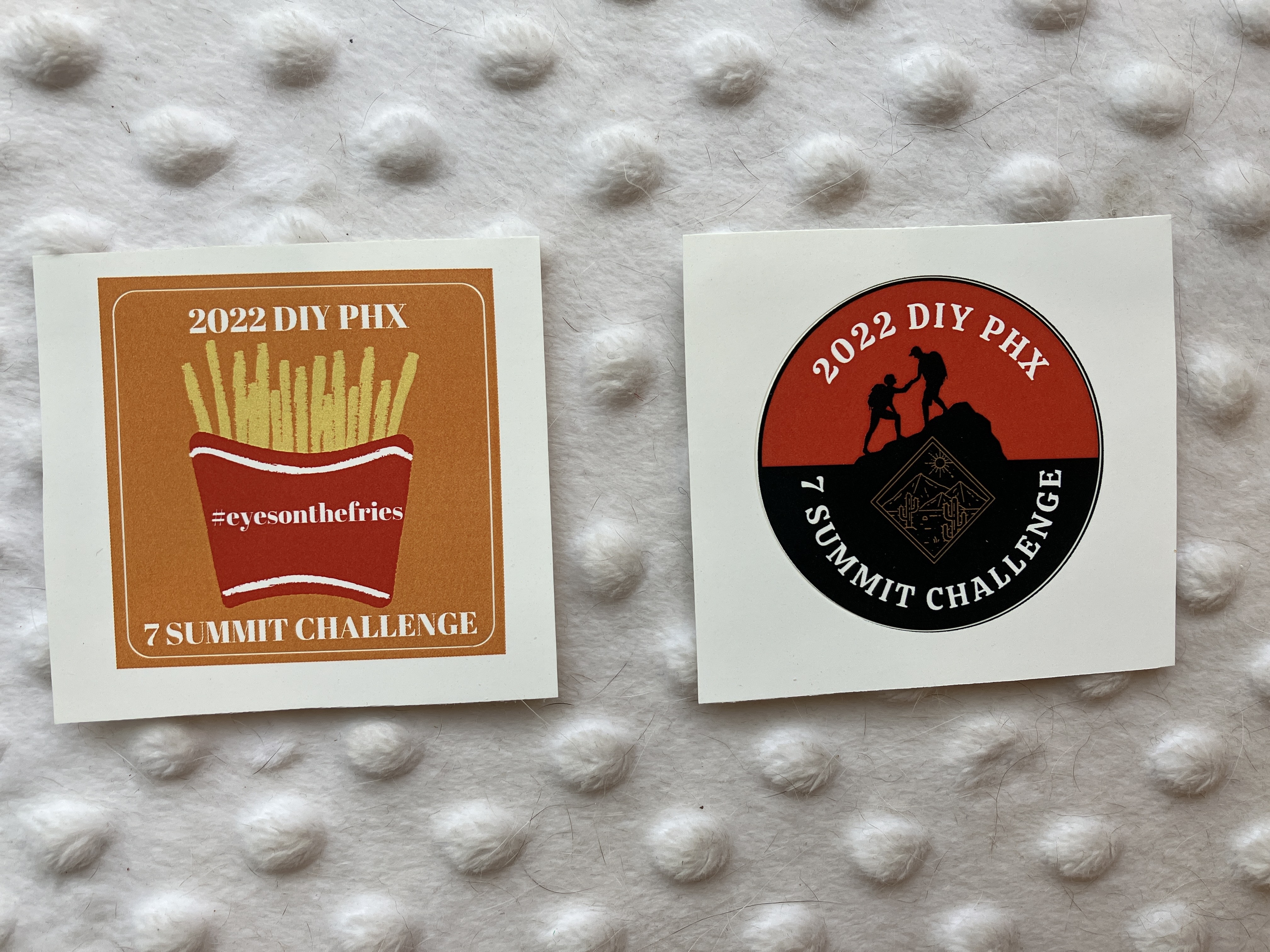
Highlights of the day included a beautiful sunrise, great conversation, many adorable dogs on the trail, and finishing before dark! I also made stickers this year, which was a fun little project. The catchphrase of the day: “We’re losing daylight!” (I don’t know how many times I said that….probably at least 7 times, haha.) Similar to last year, our celebratory dinner was at Fate Brewery in Tempe and we had to climb the stairs to our table (bonus summit!).
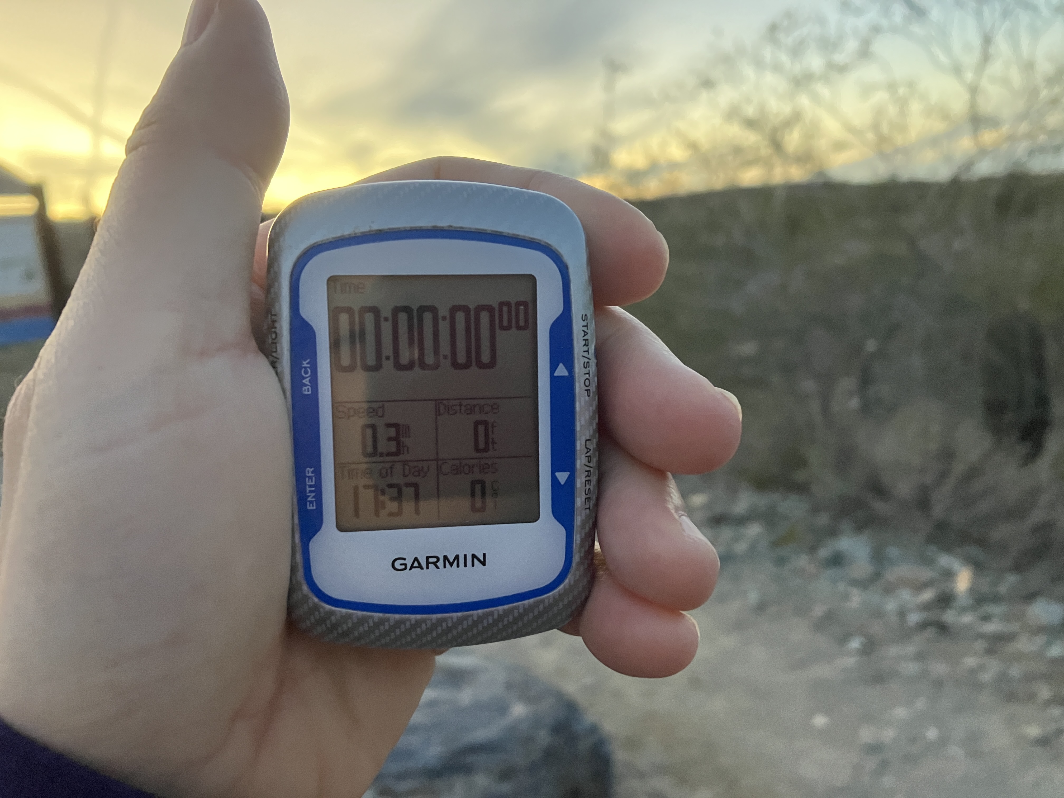
According to my Garmin, total mileage for the day was 20.55 miles / 33 km (mileage does not include the bonus 8th summit), 5,758 ft / 1,755 m of gain, and 11 hours and 7 minutes for the entire event, which is about 50 minutes faster than last year! It was a great day and everyone did SO well! Happy holidays and rest up! 🙂
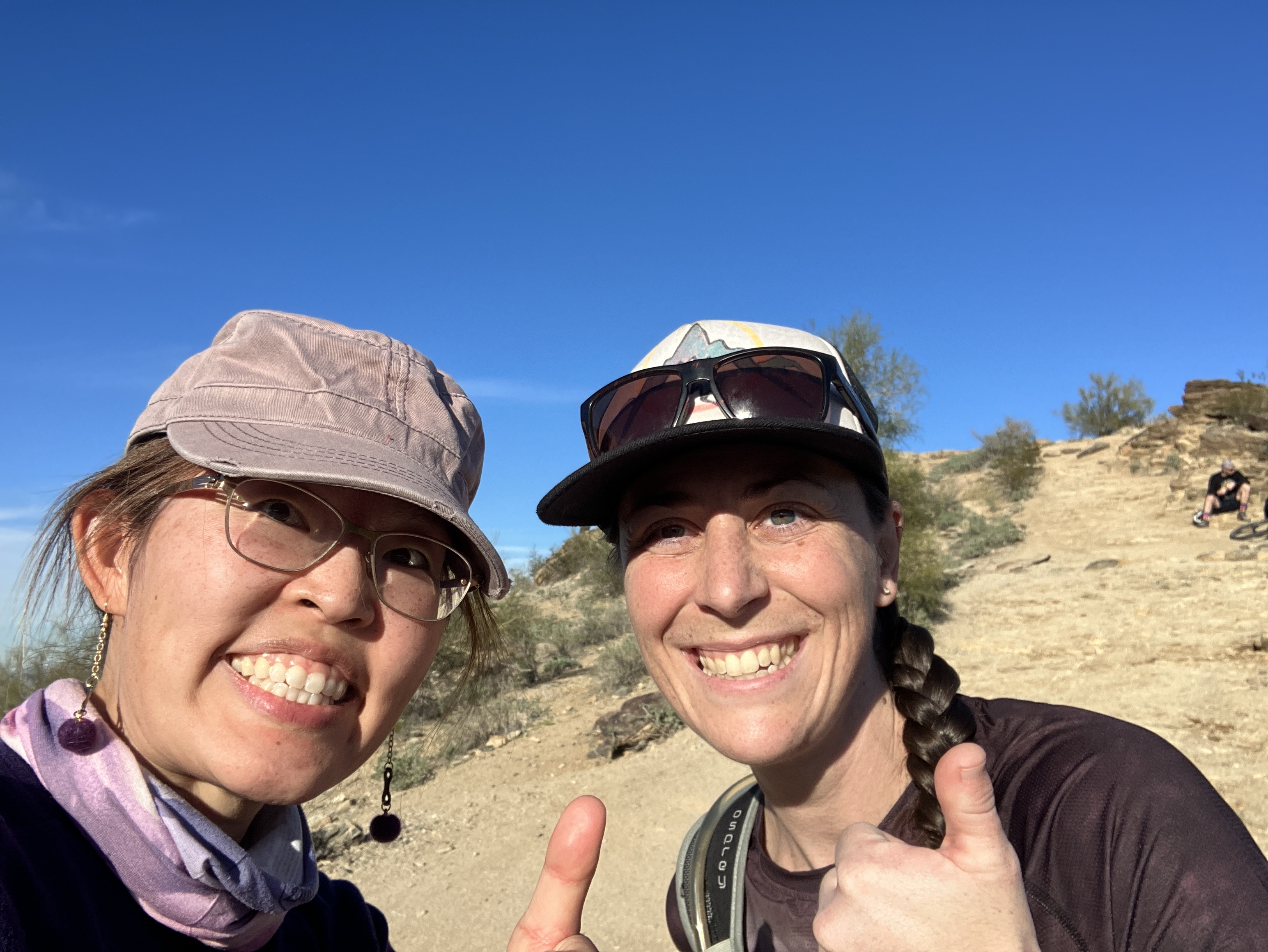
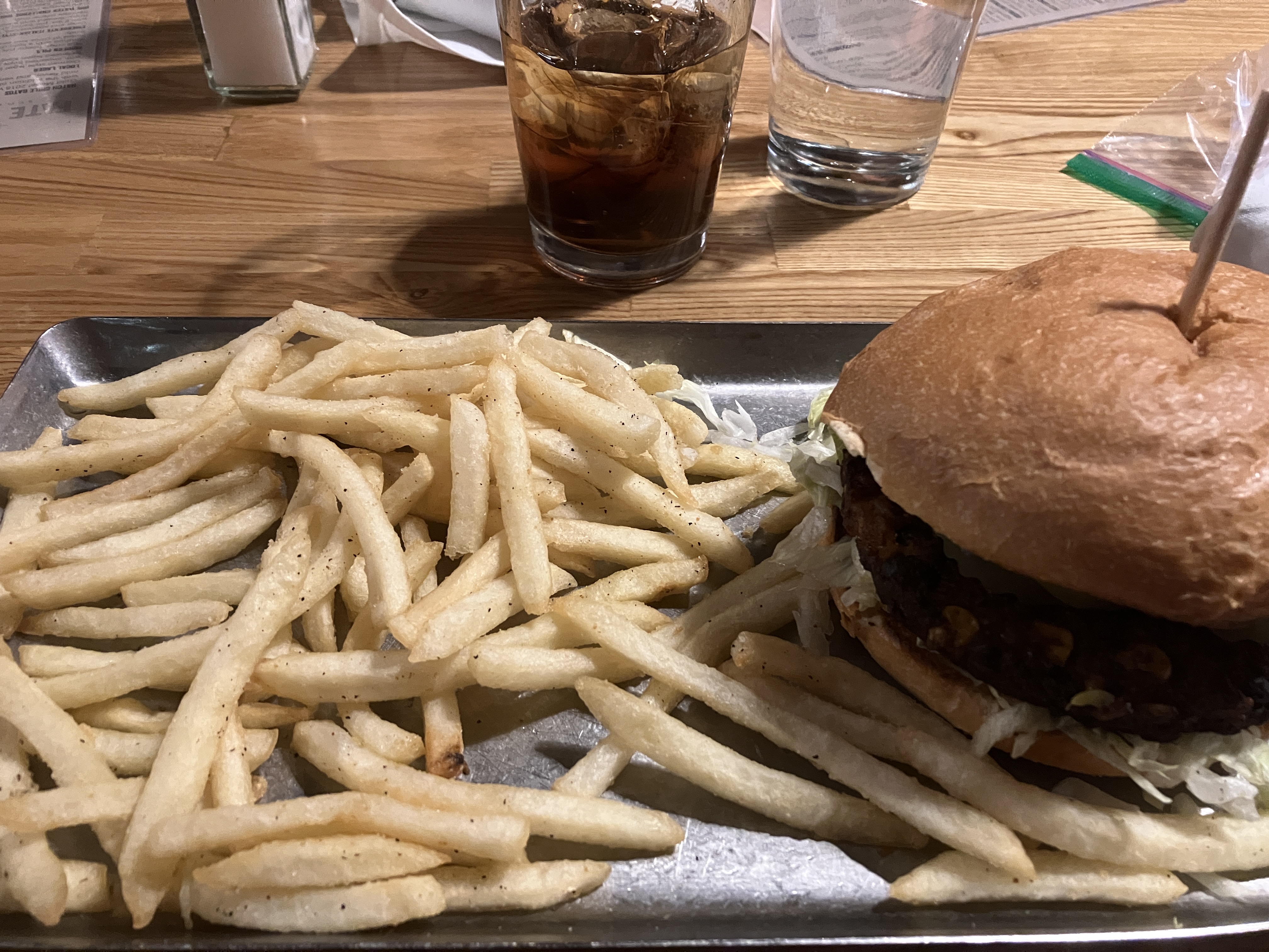
Just before sunrise on Piestawa Peak.Summit #1: Piestawa PeakA different perspective of the previous photo.Sunrise!A “digger” on the way up to summit #2.Summit #2: Shaw ButteSummit #3: Lookout MountainOn the way up summit #4. This hike was new to everyone. It was pretty steep and had a lot of loose rock on the trail.Summit #4: Shadow MountainSummit #5: Holbert/Dobbin’s LookoutShelly and I were the first ones to reach the 6th summit. My feet were hurting a lot by this point because of some blisters. I think I’m hiding the pain pretty well here!Summit #6: MormonShelly and I were the first ones (again, haha) to reach the 7th summit.I had to get at least one selfie with my SAT (self-appointed trainer). My feet were REALLY hurting. I was very motivated to finish!Summit #7: Javelina. My friend Gladys took this photo from a distance using her watch. The photo is a little blurry, but it captures our joy at reaching the last summit!End time was 5:37pm. It was still daylight!Darkening sky.We had to get 2 tables for our group at Fate.Happy, hungry hikers at table 2.Yum yum yum!The stickers I made for the event. I think they turned out well!